- Advertisement -
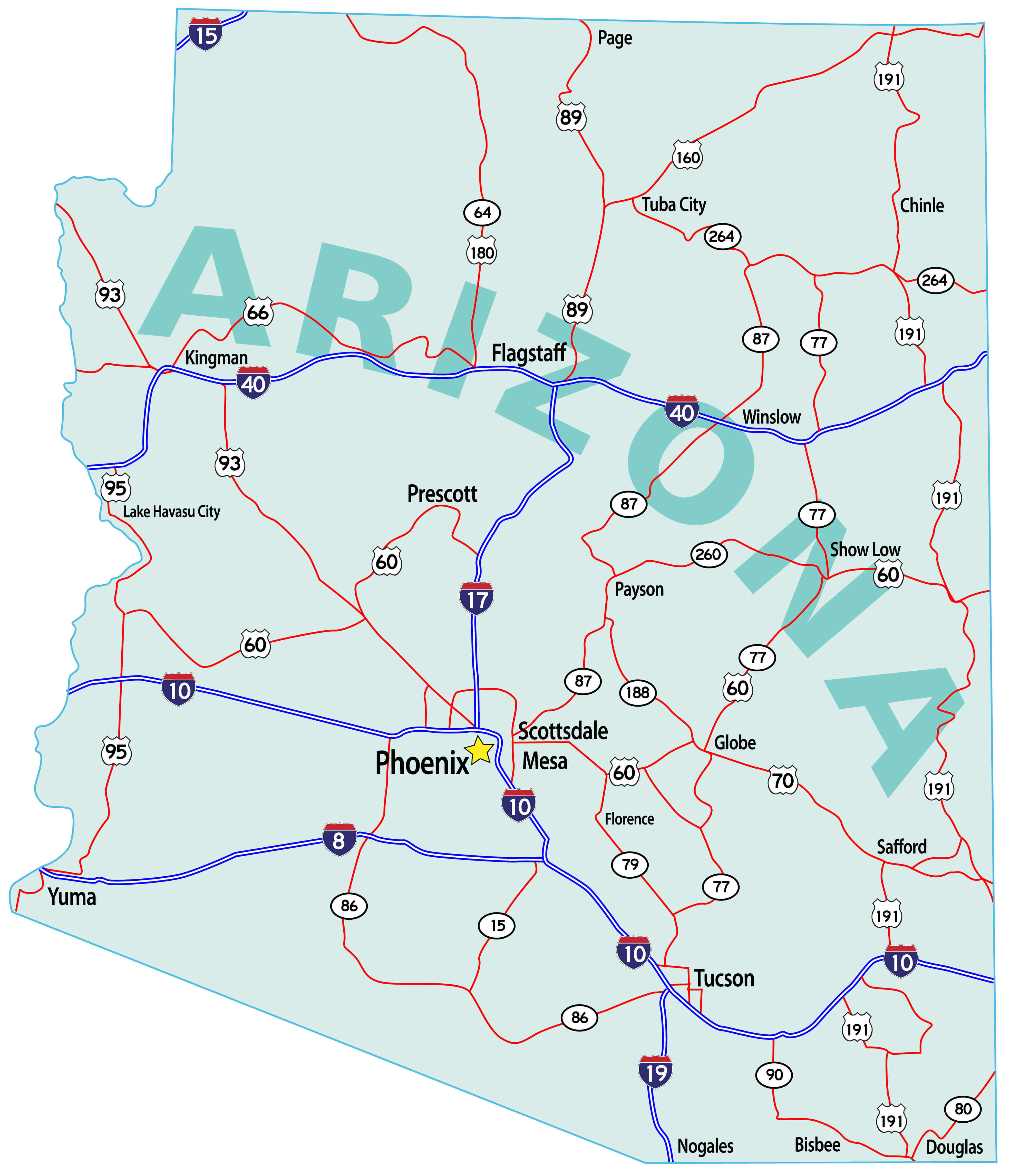
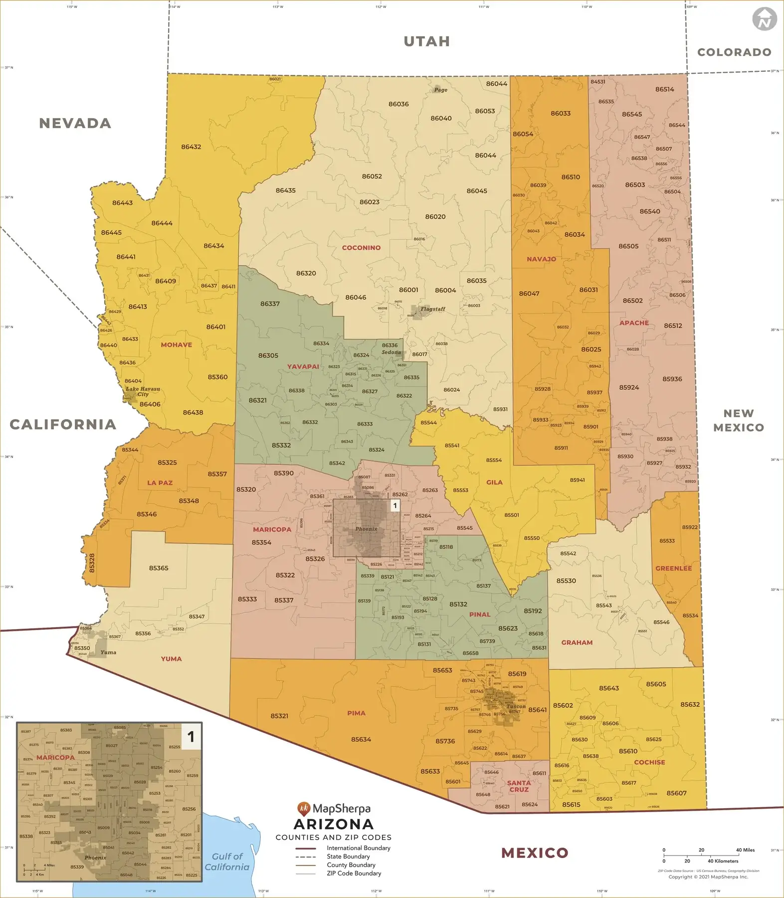
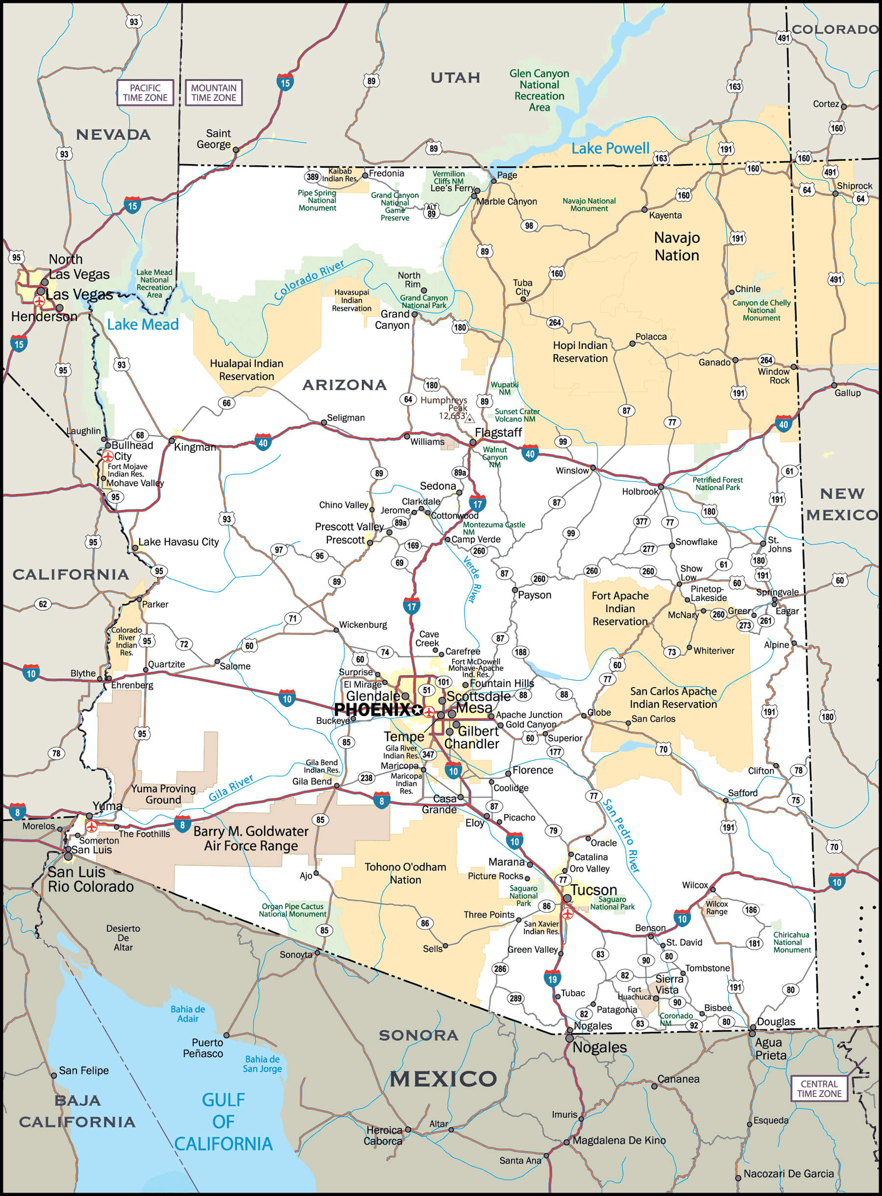
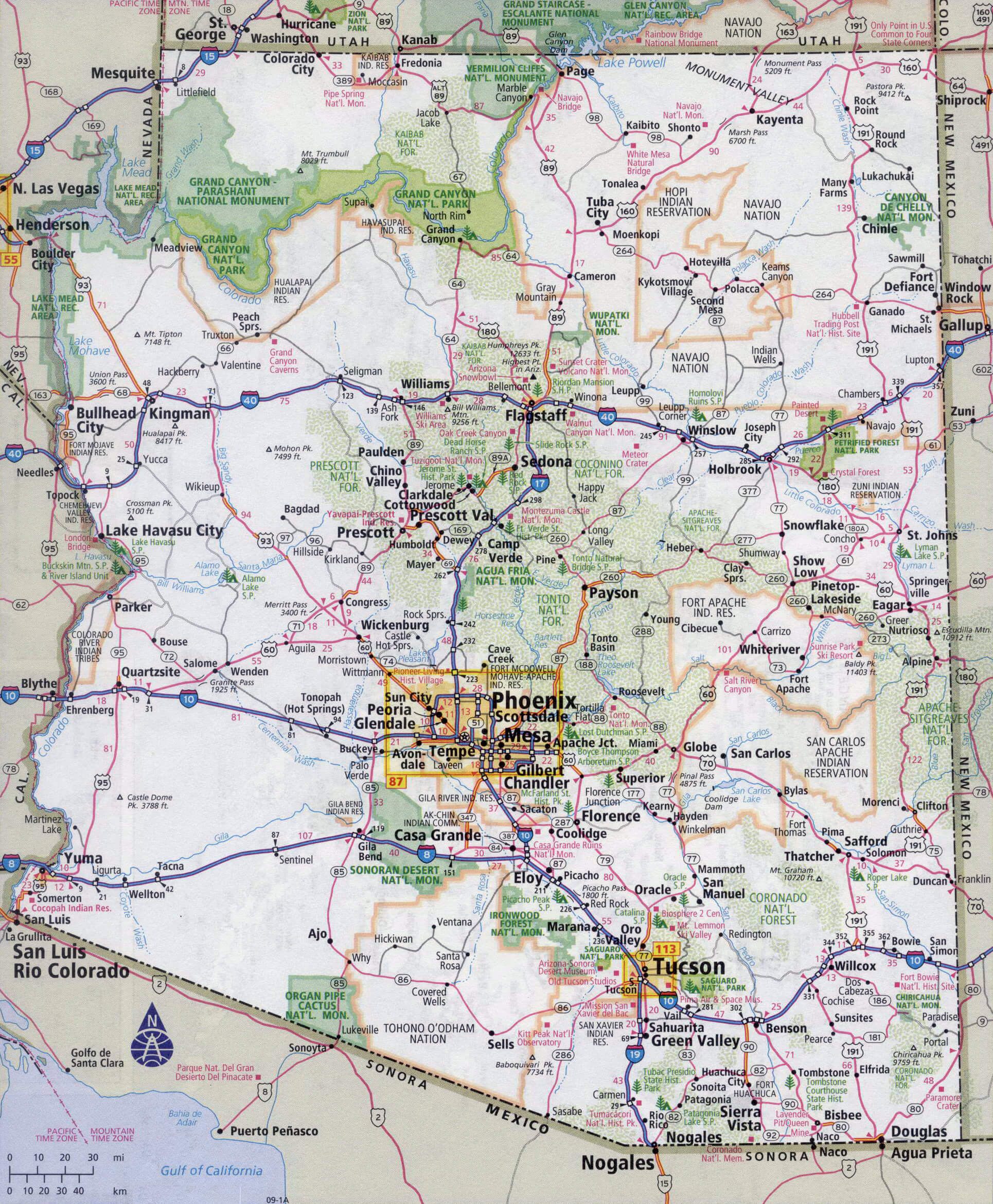
Discover the Arizona Cities Map showcasing the state’s highways, interstates, and county divisions. This detailed road map of Arizona highlights major cities like Phoenix, Tucson, and Flagstaff, along with rivers, national parks, and the Grand Canyon. Whether you’re exploring an Arizona political map with counties, a physical map of Arizona, or a historical 1900s Arizona map, this resource provides a clear and accurate view of the state of Arizona with cities and roads in the USA.
Arizona Road Map with Cities and Counties
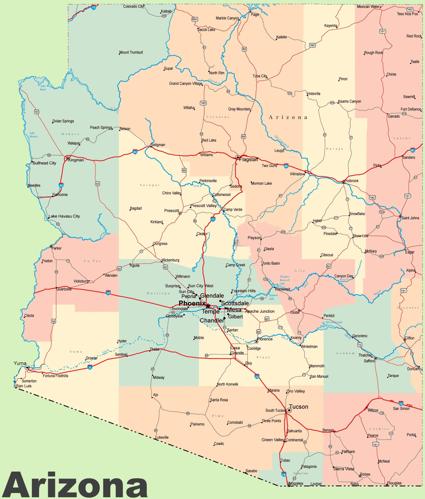
Arizona major cities and physical map
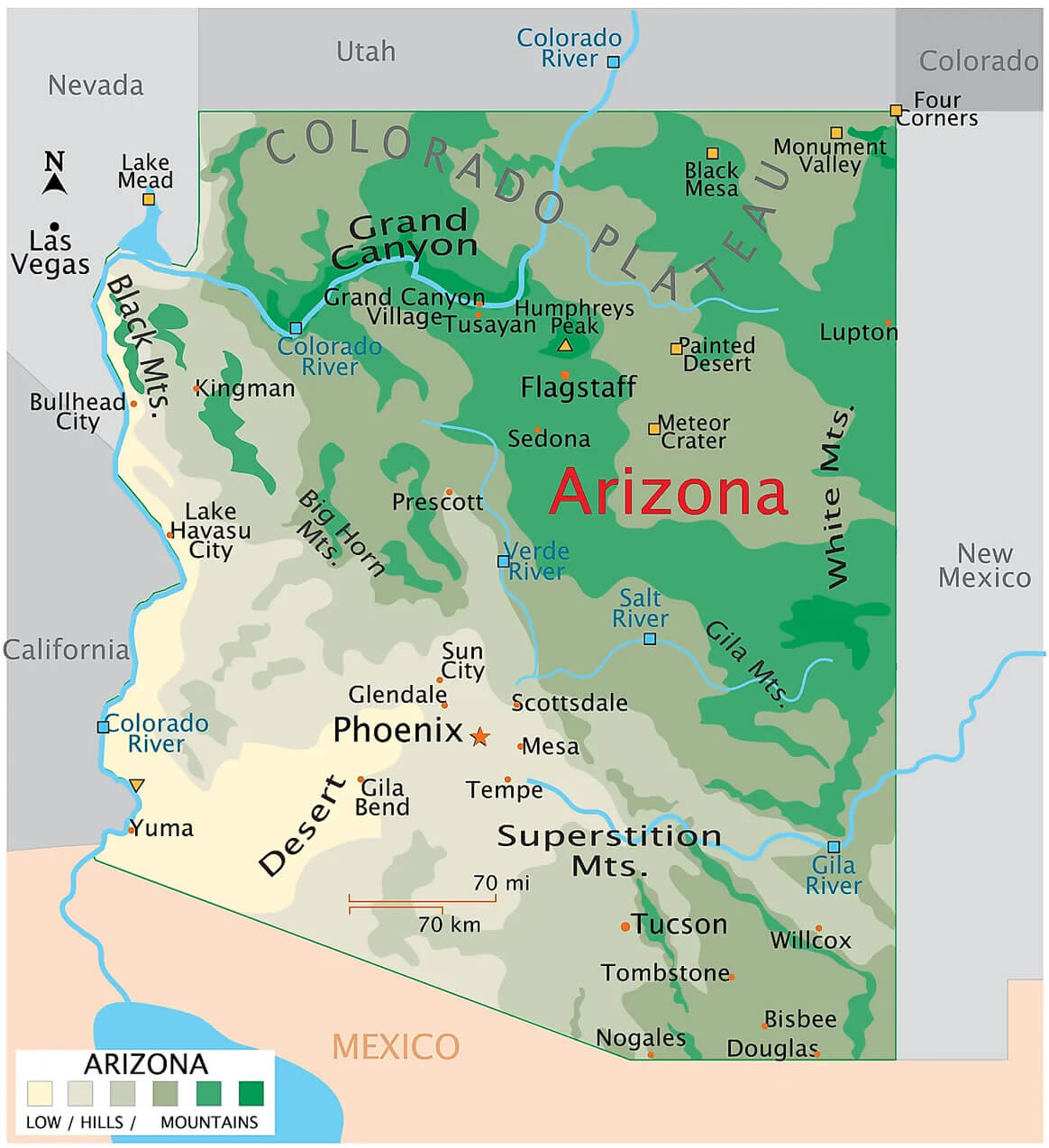
Arizona cities map
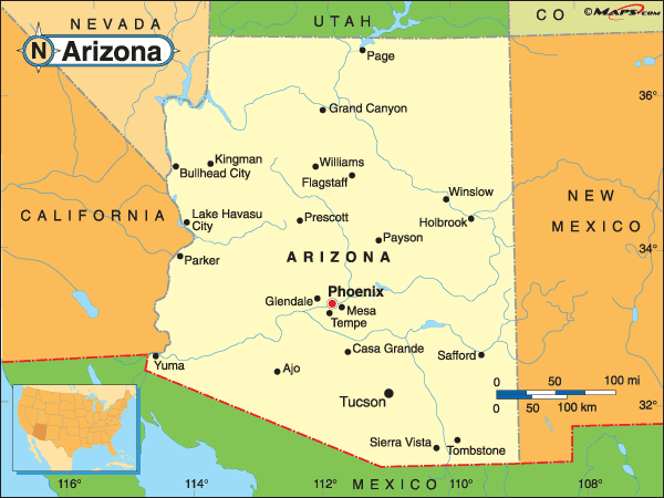
Arizona administrative map with counties

Arizona cities map
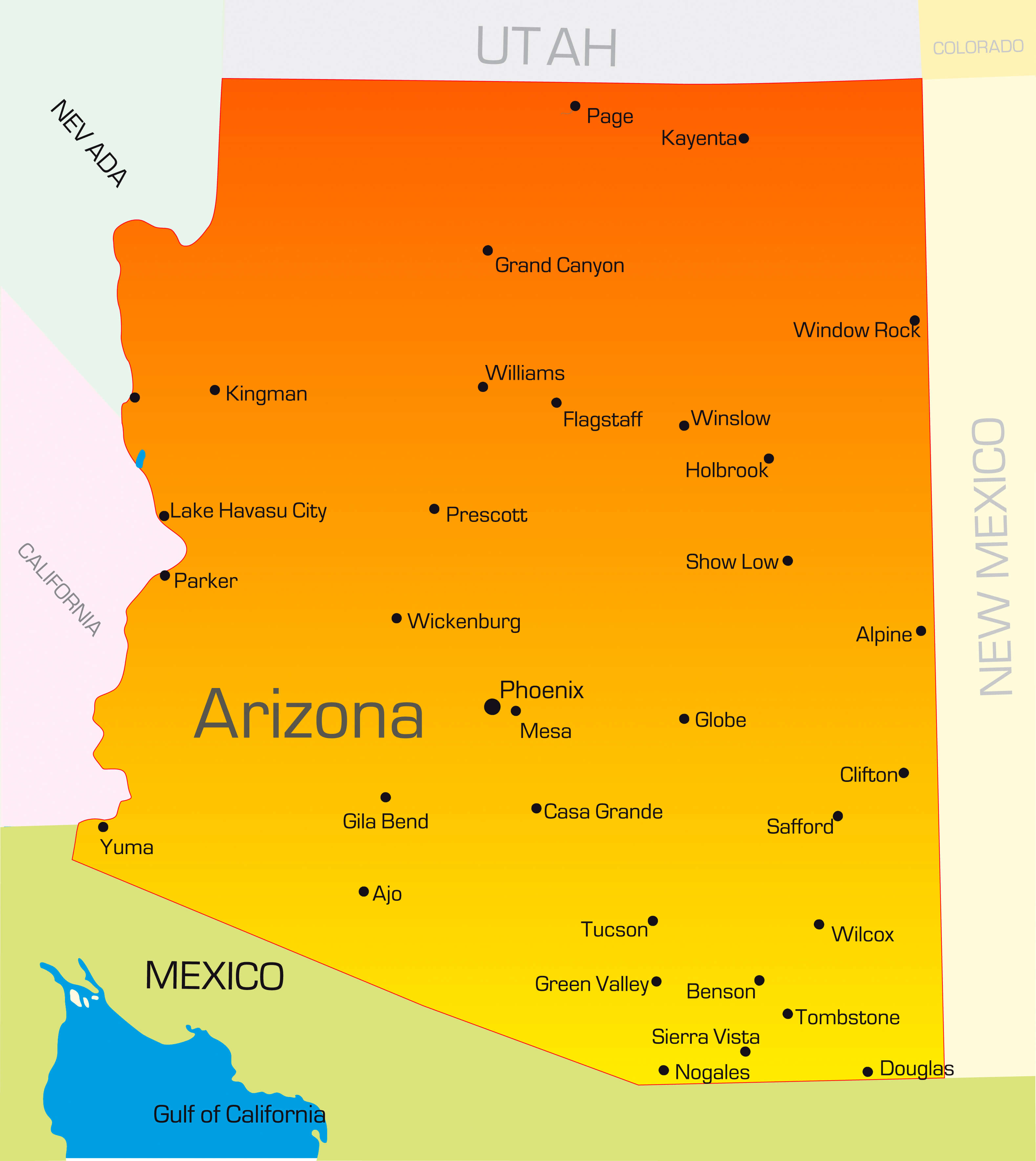
Arizona county map

Arizona highways map
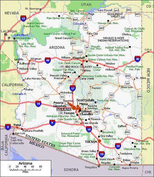
Arizona interstate map with national parks
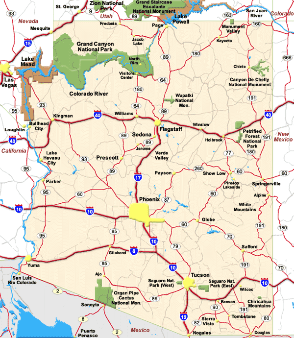
Arizona map 1900 USA
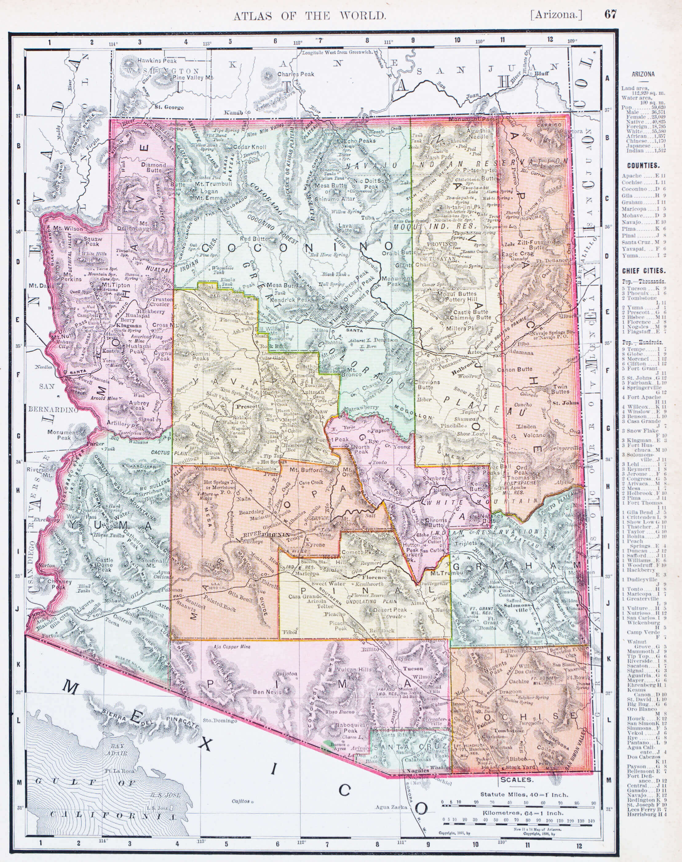
Arizona map with cities and roads
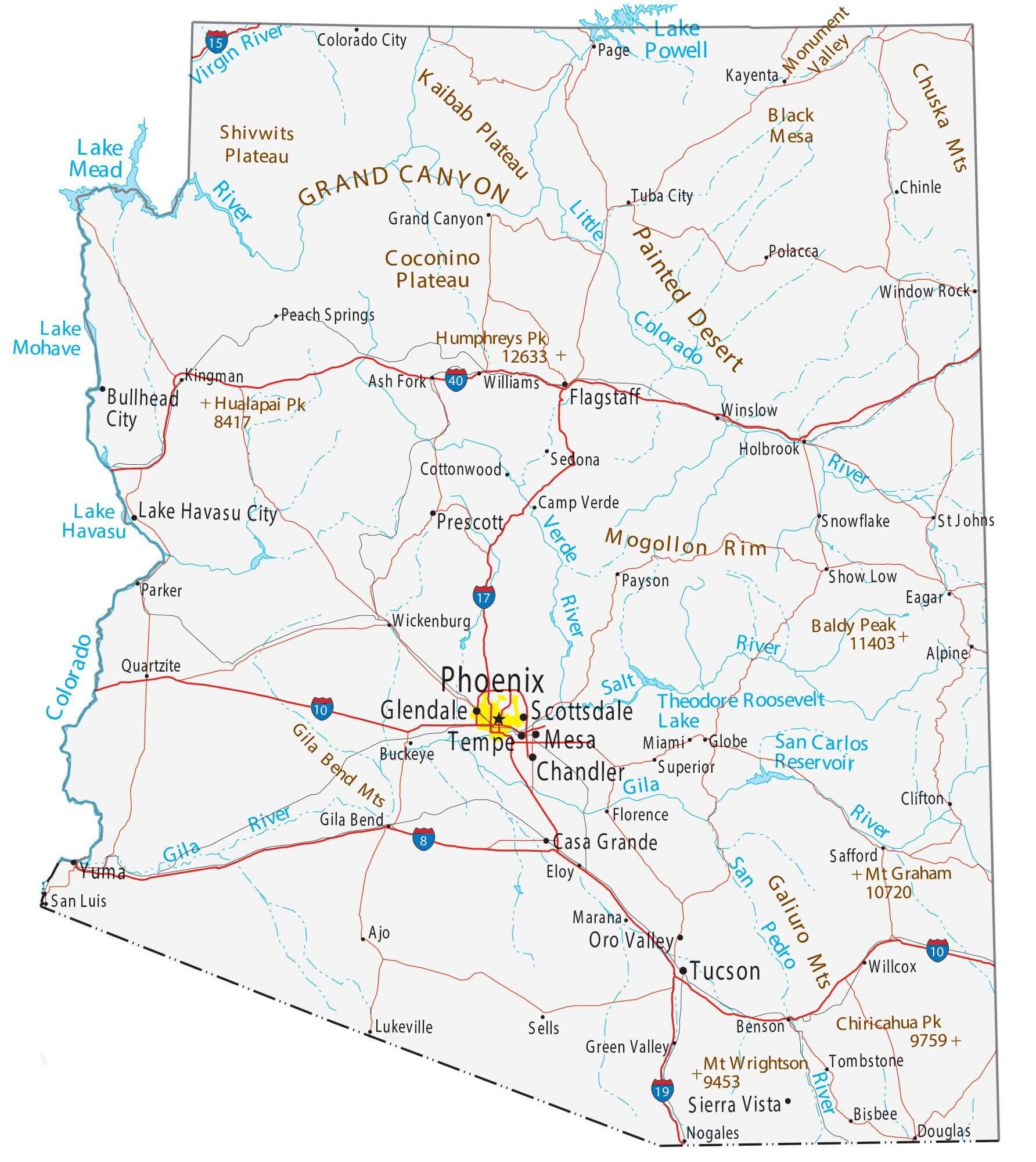
Arizona political map with counties
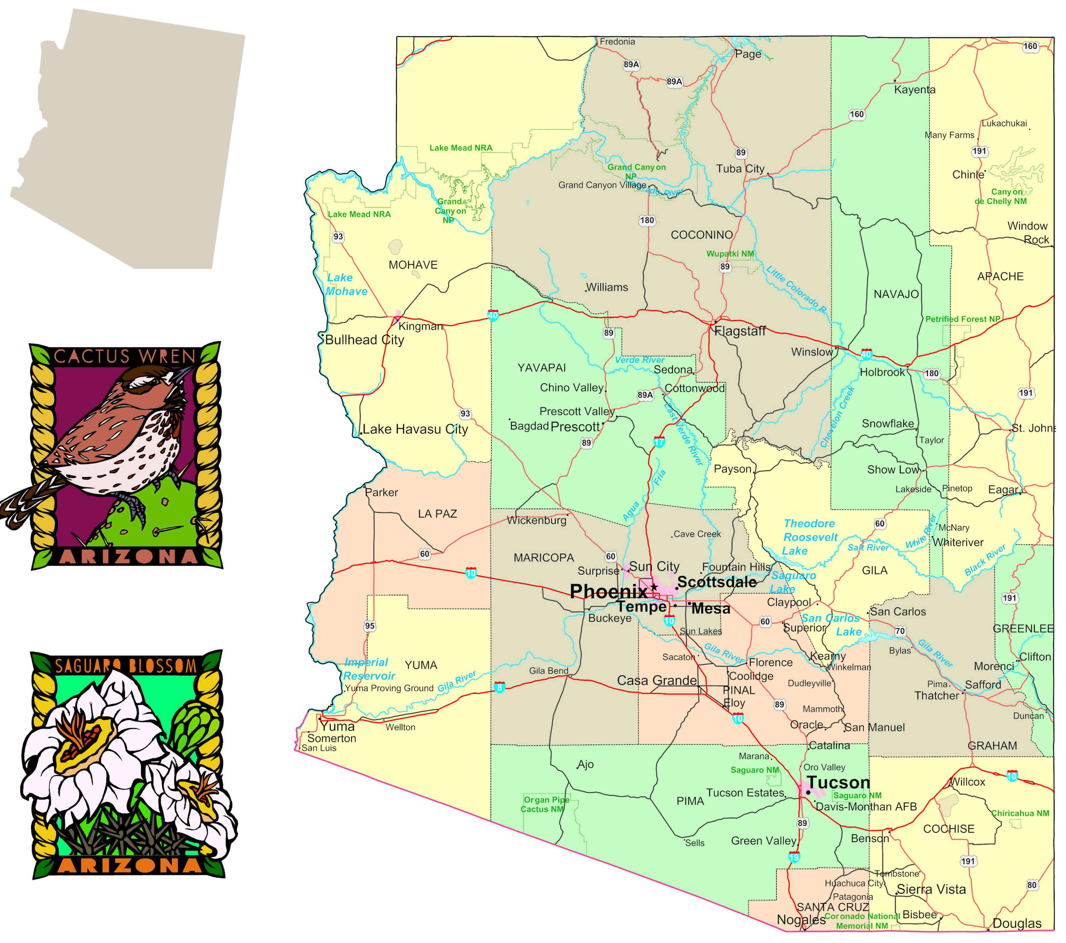
Arizona relief map
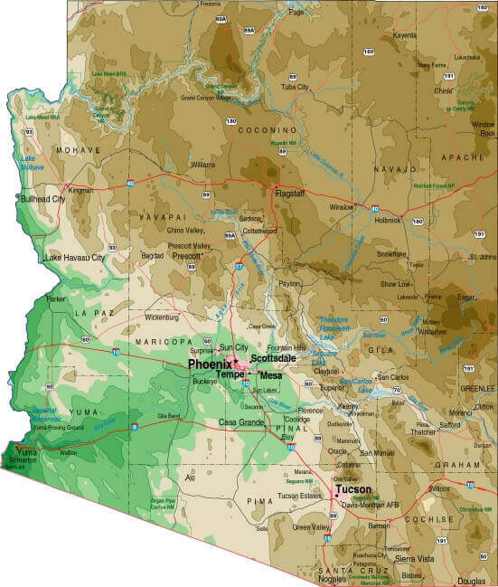
Arizona rivers map with Grand Canyon
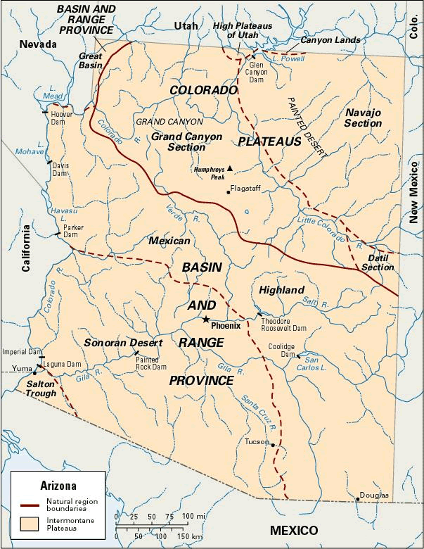
Arizona road map
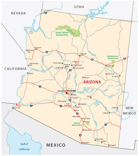
Arizona state road map with interstates
Arizona territory map in 1881

Arizona zip code map with counties.webp
Detailed roads and highways map of Arizona state
Large detailed road map of Arizona with all cities
Map of the state of Arizona with cities USA
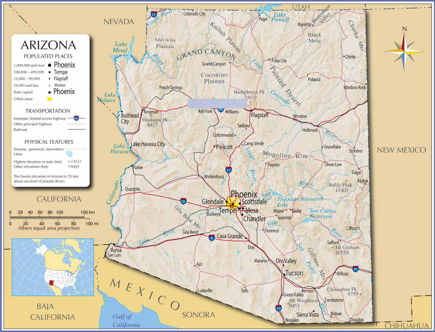
Physical map of Arizona with cities
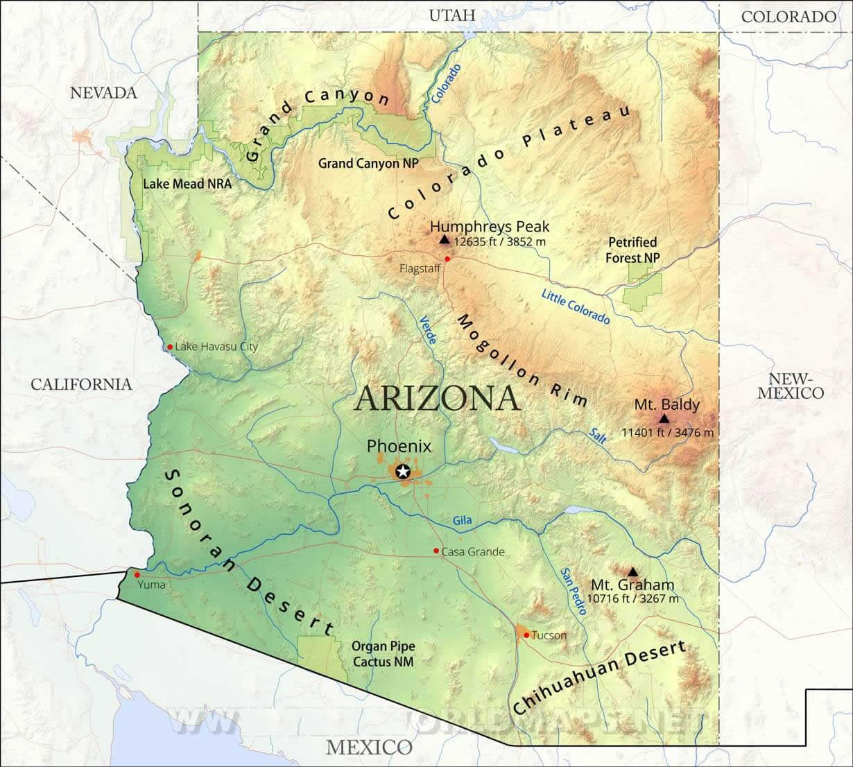
Physical map of Arizona

Where is Arizona on the US map
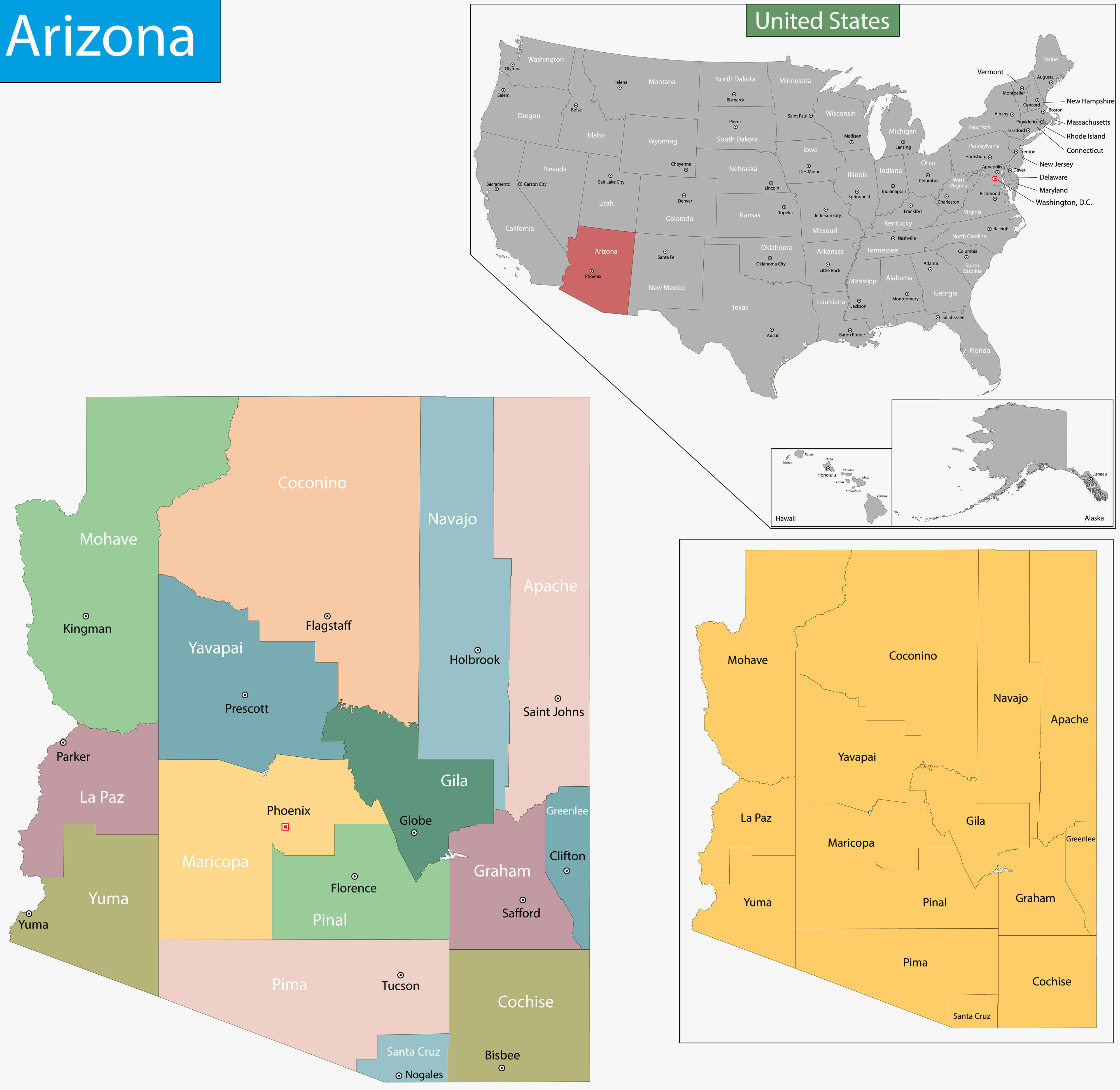
Where is Arizona on the United States Map?
Show Google map, satellite map, where is the country located.
Get directions by driving, walking, bicycling, public transportation and travel with street view.
Feel free to explore these pages as well:
- Arizona Map ↗️
- Map of Arizona ↗️
- US Cities Map ↗️
- United States Cities Map ↗️
- California Cities Map ↗️
- Texas Cities Map ↗️
- New York Cities Map ↗️
- Florida Cities Map ↗️
- Pennsylvania Cities Map ↗️
- Illinois Cities Map ↗️
- Ohio Cities Map ↗️
- Georgia Cities Map ↗️
- North Carolina Cities Map ↗️
- Michigan Cities Map ↗️
- New Jersey Cities Map ↗️
- Virginia Cities Map ↗️
- Washington Cities Map ↗️
- Tennessee Cities Map ↗️
- Massachusetts Cities Map ↗️
- Indiana Cities Map ↗️
- Maryland Cities Map ↗️
- Missouri Cities Map ↗️
- Wisconsin Cities Map ↗️
- United States Map ↗️
- Map of United States ↗️
- North America Map ↗️
- Advertisement -
