- Advertisement -
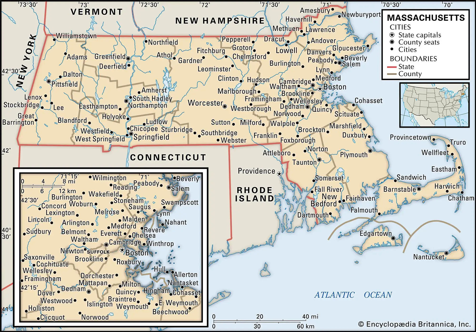
Discover the Massachusetts Cities Map, showcasing detailed highways, counties, and major cities such as Boston, Worcester, and Springfield. This colorful Massachusetts map highlights county boundaries, rivers, and roads, making it ideal for travelers and researchers. Whether you need a political map with Boston, a physical elevation map, or a state capital map with major cities, this comprehensive guide helps you explore Massachusetts’s geography, infrastructure, and historical charm with clarity and precision.
Massachusetts Cities Map – Explore Major Cities, Roads, and Coastal Areas
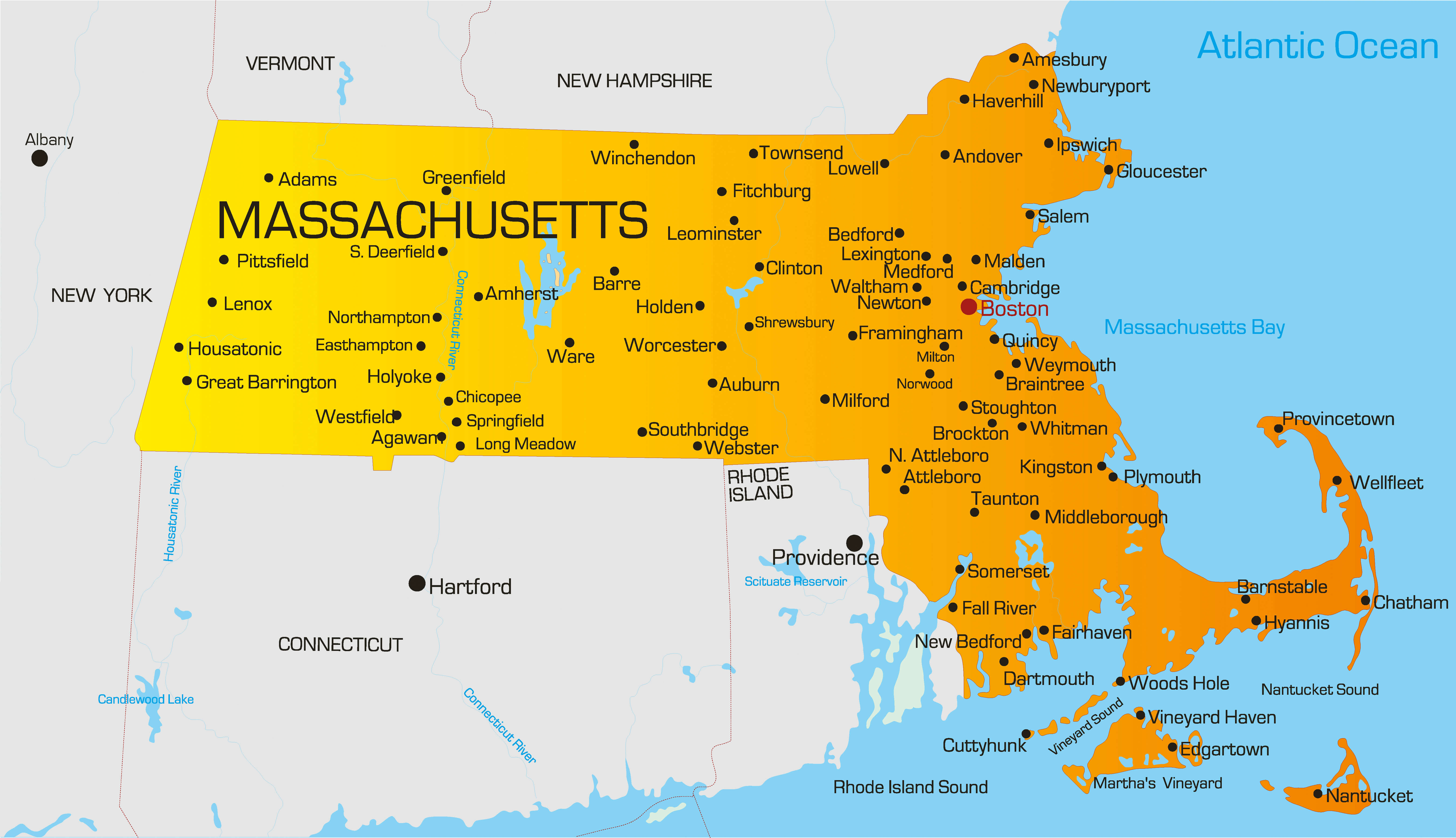
Massachusetts main cities map
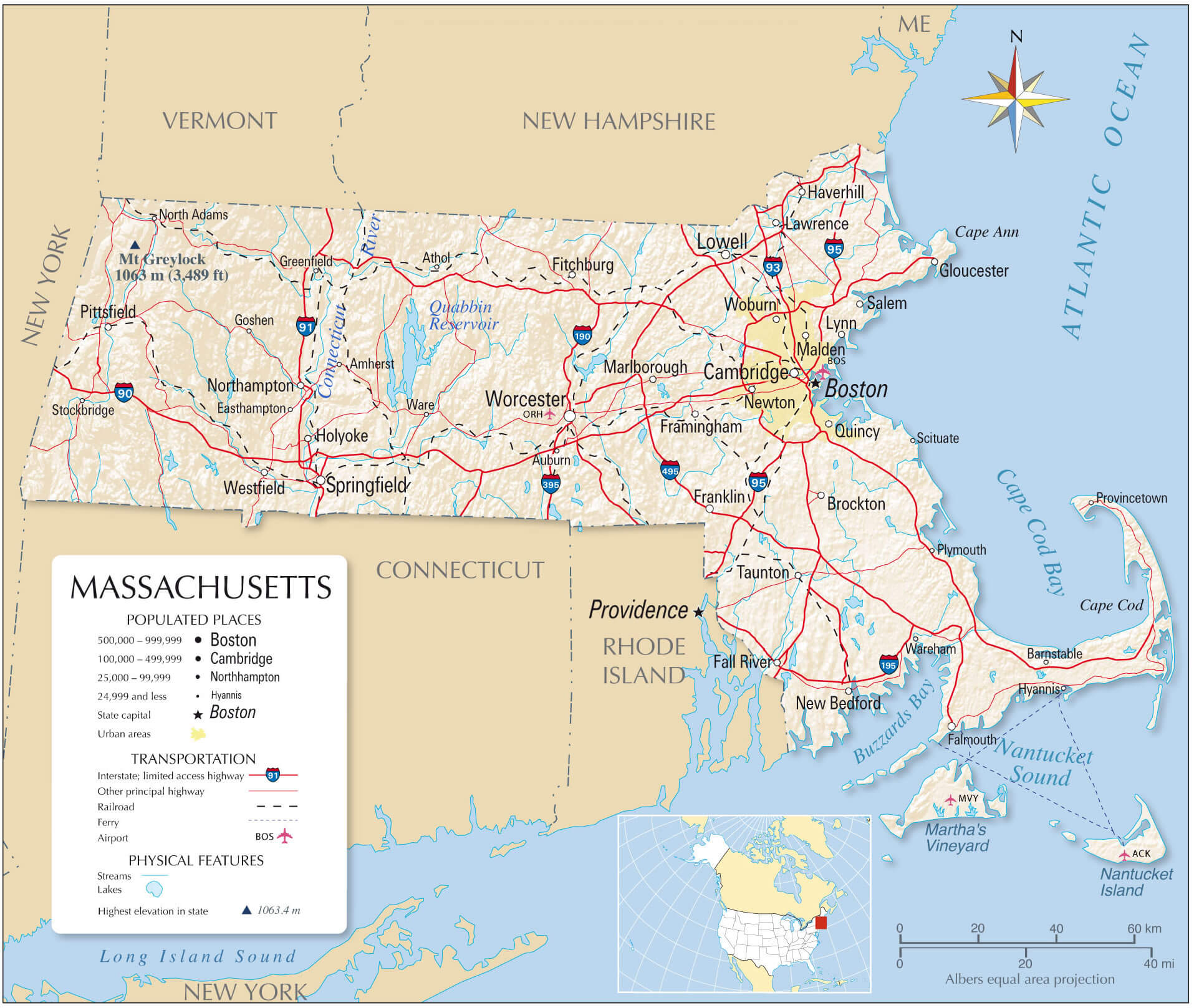
Colorful Massachusetts map with counties capitals and cajor cities
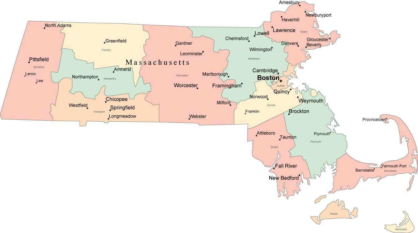
Detailed administrative map of Massachusetts with roadsand cities
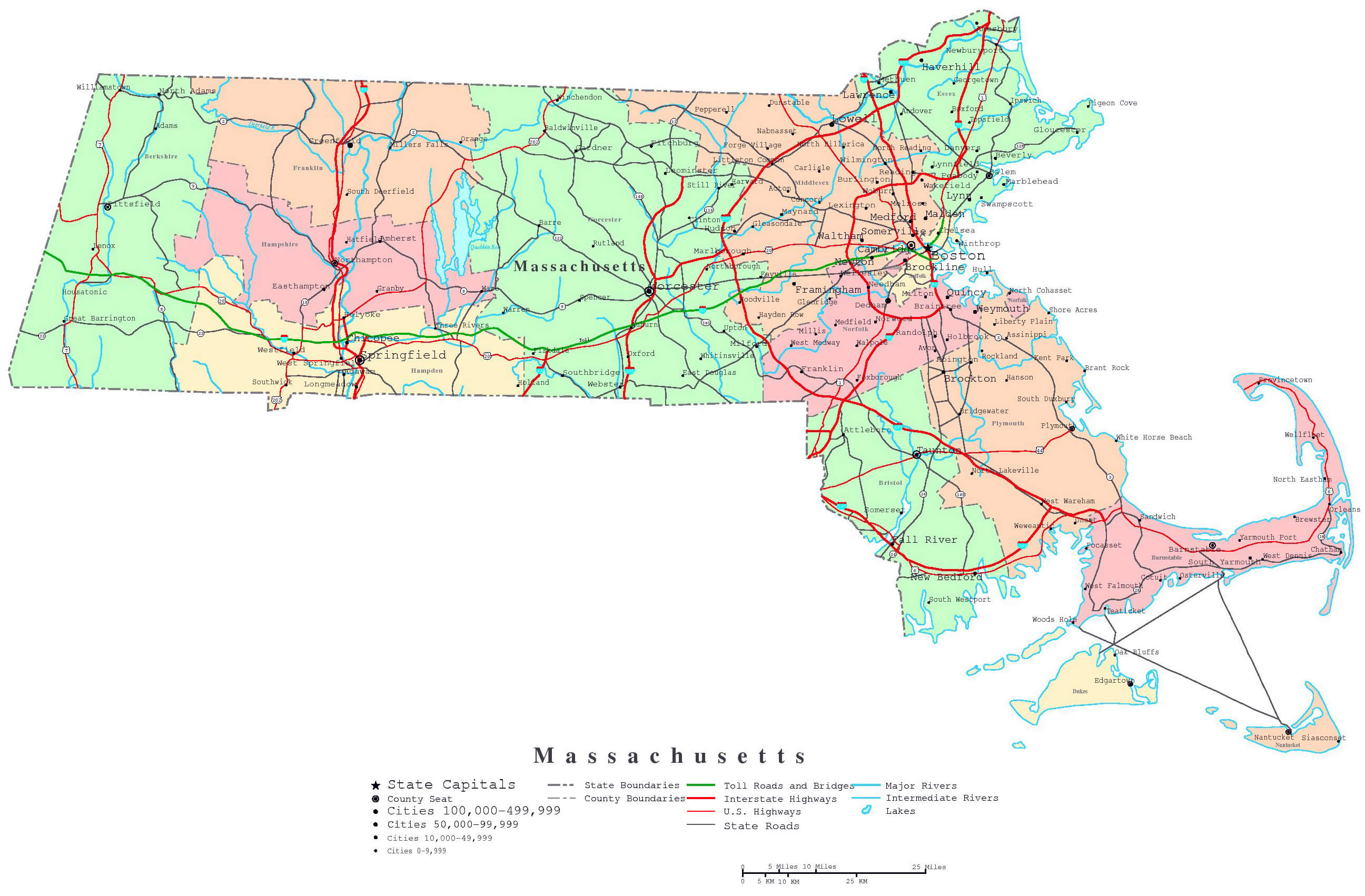
Large roads and highways map of Massachusetts with all cities
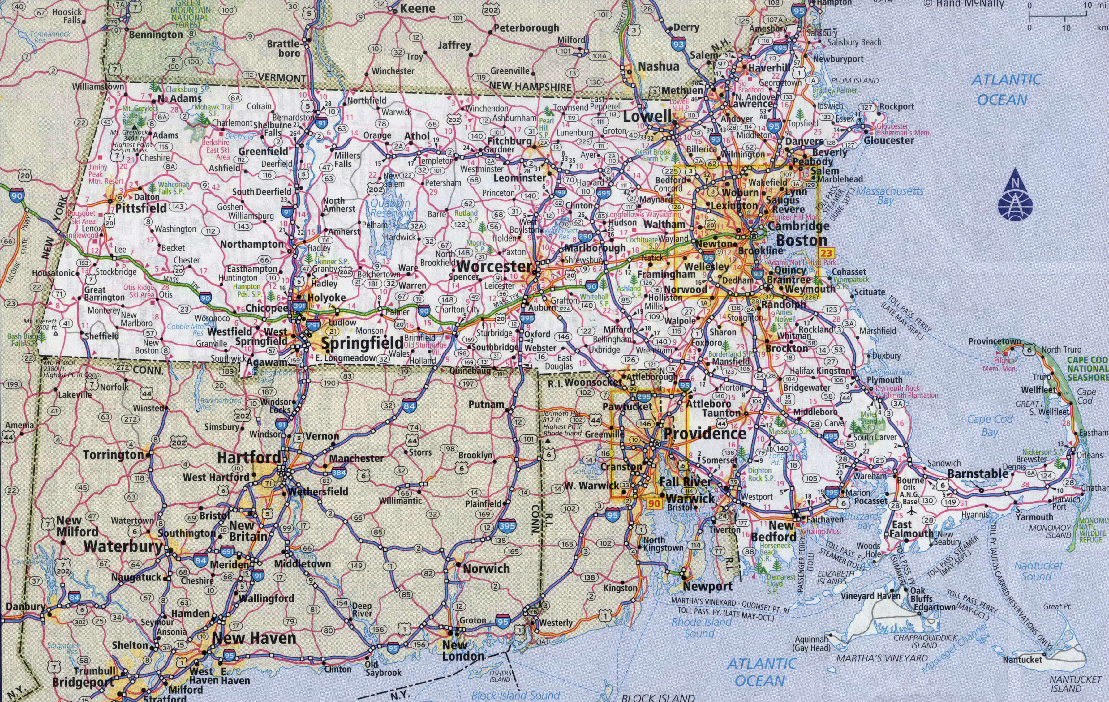
Major cities map of Massachusetts
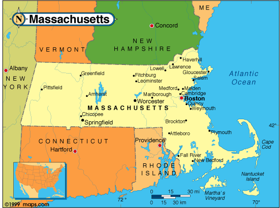
Massachusetts cities and rivers map

Massachusetts cities and roads map
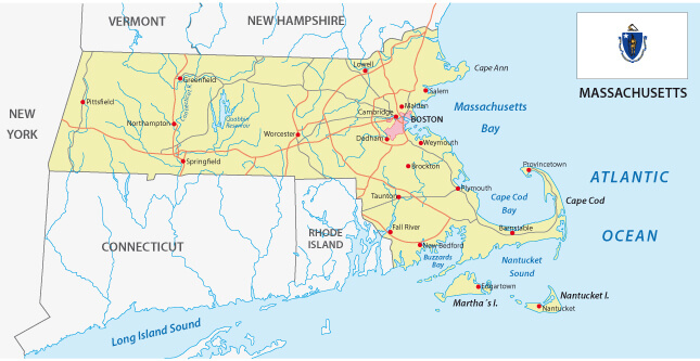
Massachusetts counties and cities wall map

Massachusetts counties map
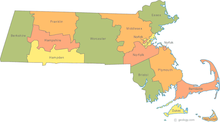
Massachusetts counties map
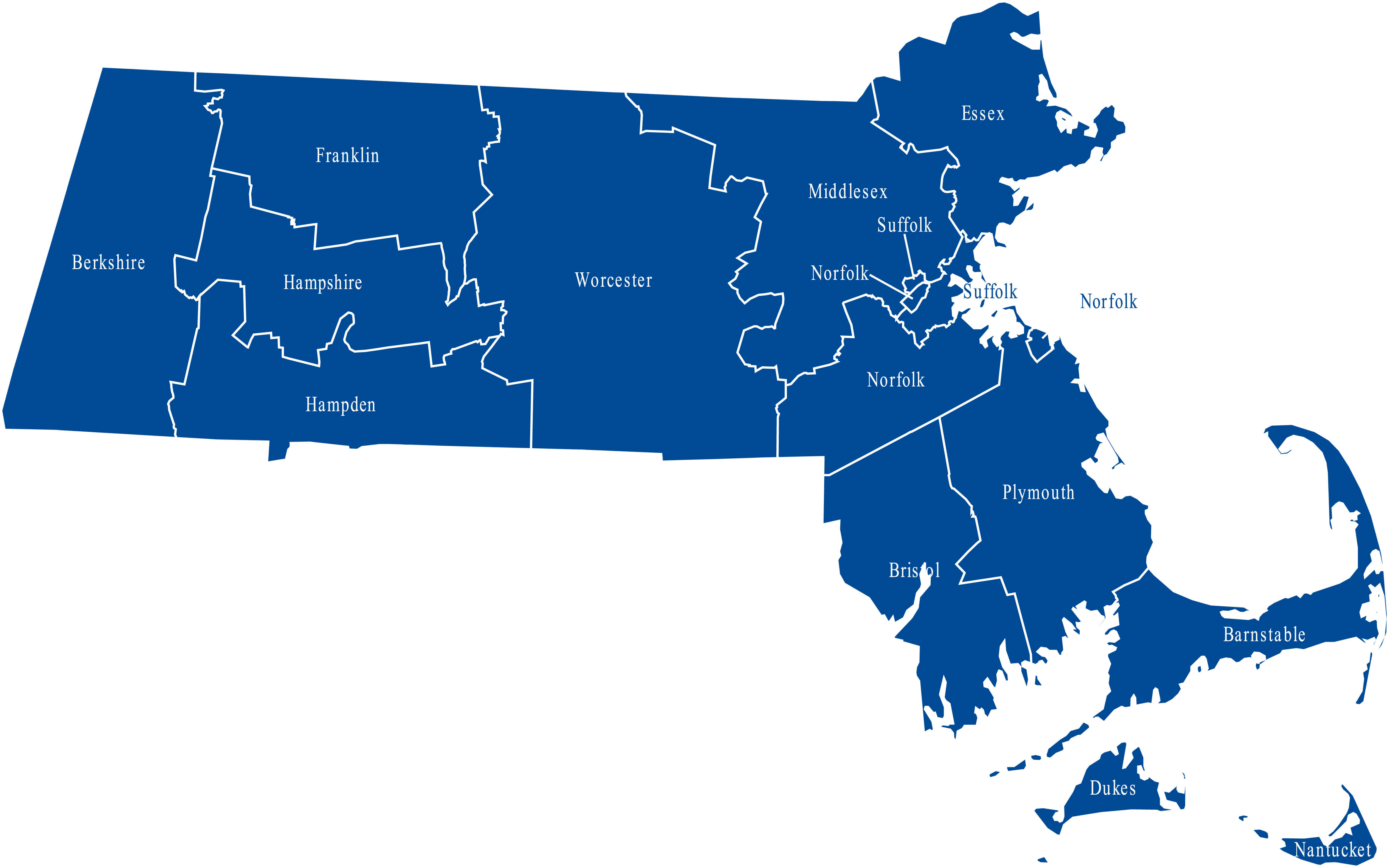
Massachusetts counties map

Massachusetts county map
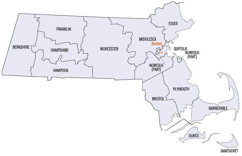
Massachusetts elevation map with cities
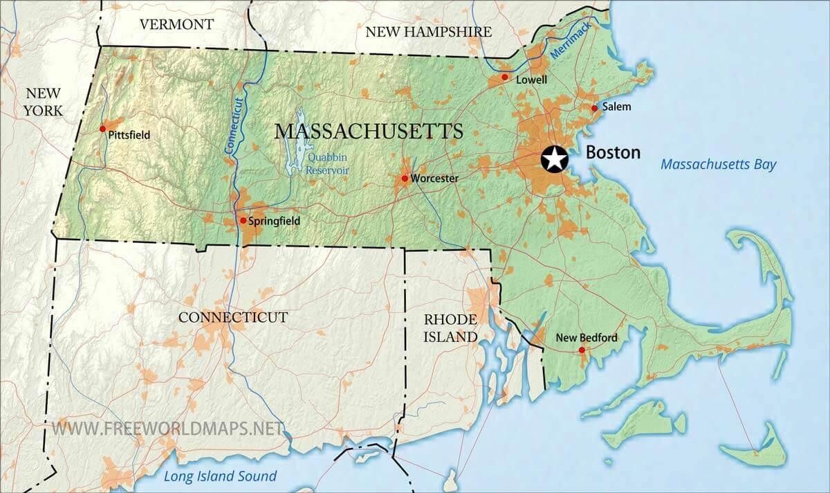
Massachusetts highways map with cities
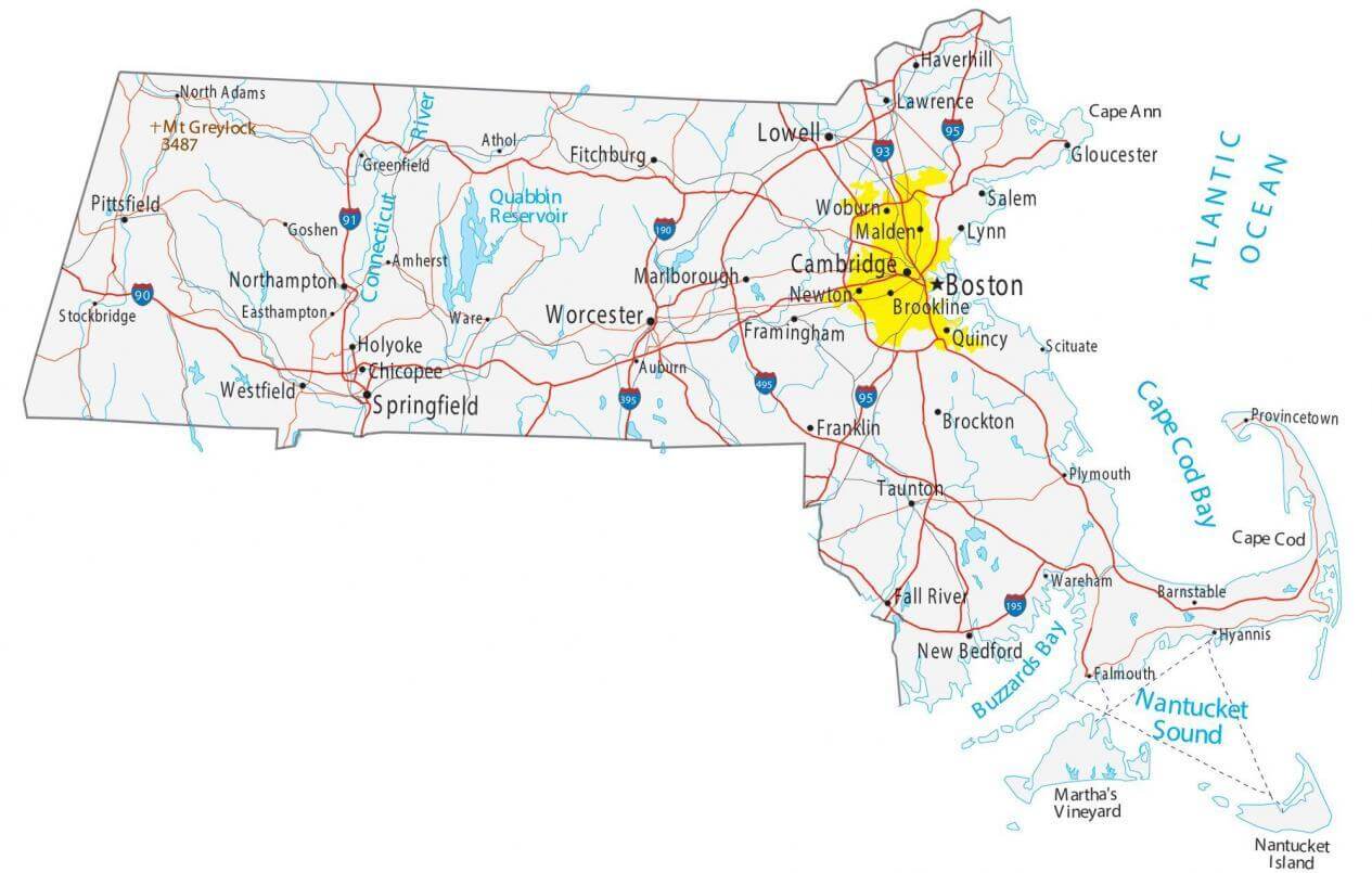
Massachusetts historical map
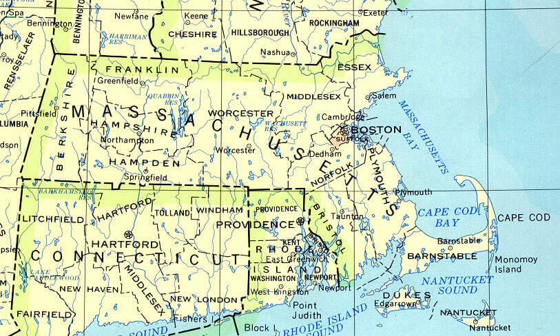
Massachusetts interstate map with cities
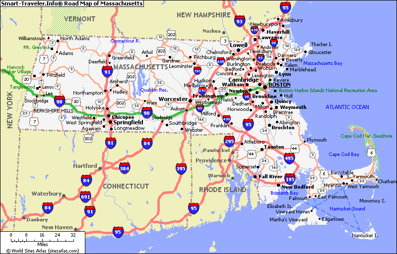
Massachusetts major cities map
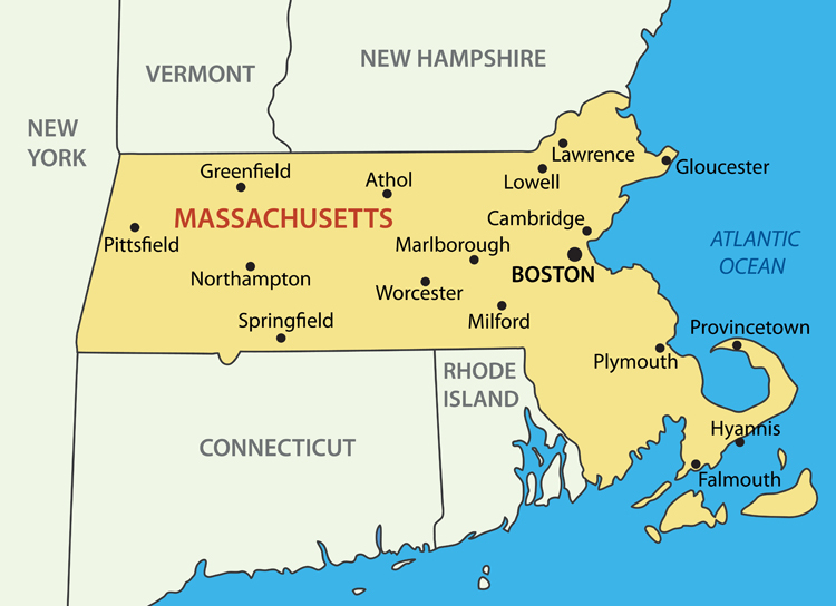
Massachusetts physical map with cities
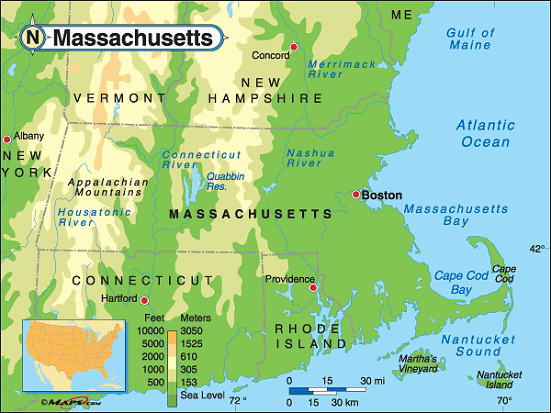
Massachusetts physical map with cities
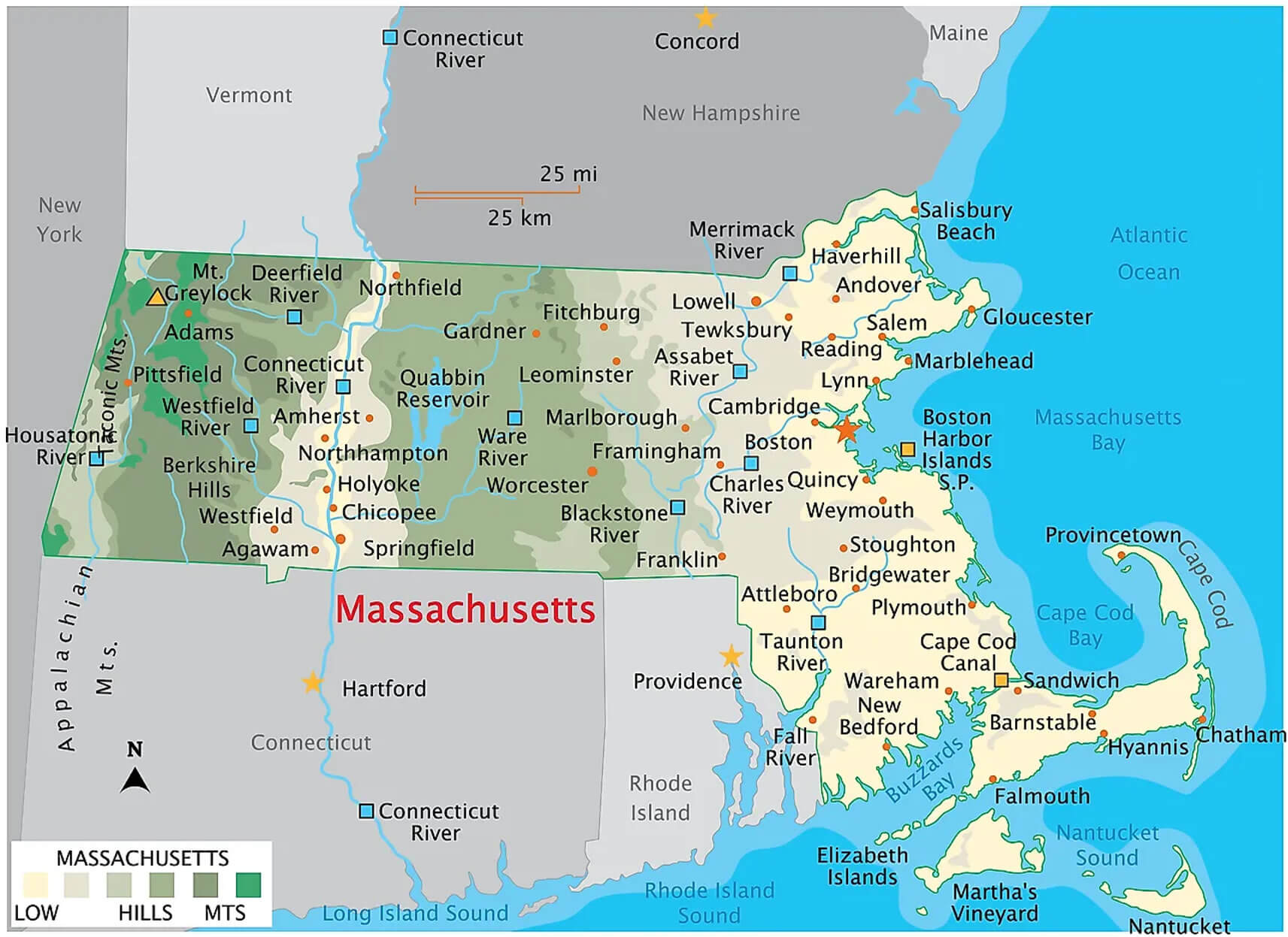
Massachusetts political map with boston city
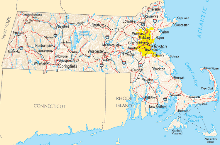
Massachusetts populated places map with cities
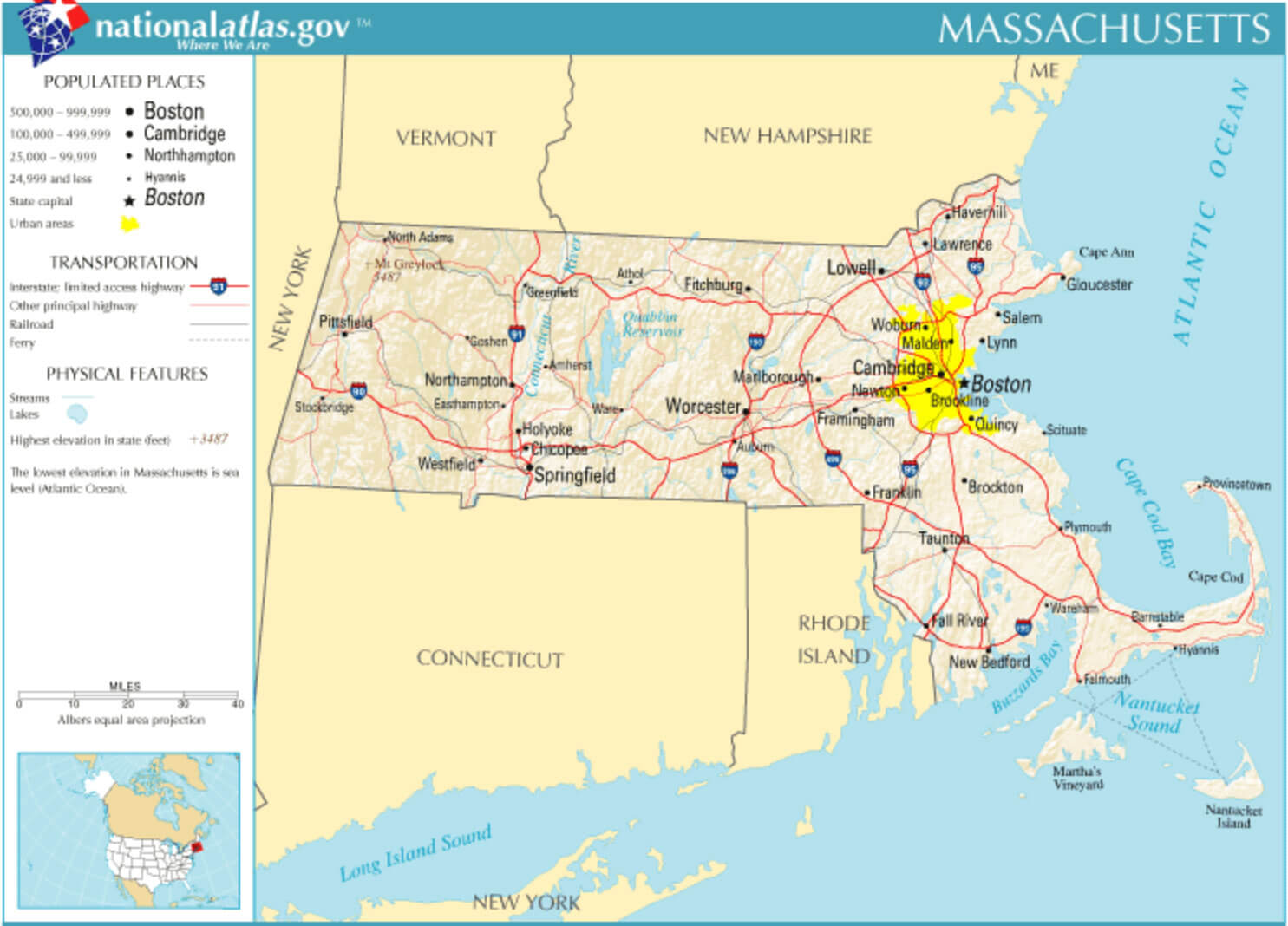
Massachusetts state capital map with major cities
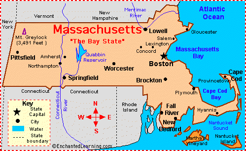
Massachusetts state map with county boundaries cities
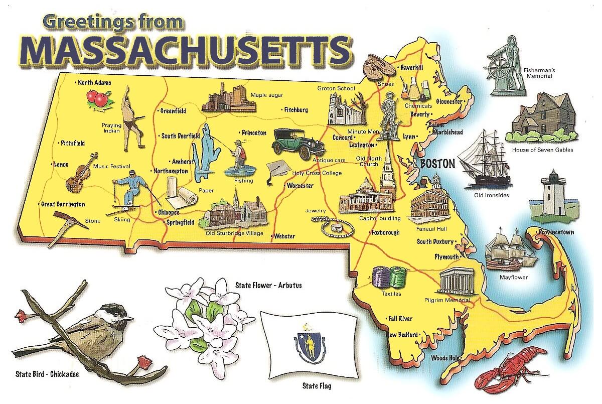
Pictorial travel map of Massachusetts
Where is Massachusetts on the United States Map?
Show Google map, satellite map, where is the country located.
Get directions by driving, walking, bicycling, public transportation and travel with street view.
Feel free to explore these pages as well:
- Massachusetts Map ↗️
- Map of Massachusetts ↗️
- US Cities Map ↗️
- United States Cities Map ↗️
- California Cities Map ↗️
- Texas Cities Map ↗️
- New York Cities Map ↗️
- Florida Cities Map ↗️
- Pennsylvania Cities Map ↗️
- Illinois Cities Map ↗️
- Ohio Cities Map ↗️
- Georgia Cities Map ↗️
- North Carolina Cities Map ↗️
- Michigan Cities Map ↗️
- New Jersey Cities Map ↗️
- Virginia Cities Map ↗️
- Arizona Cities Map ↗️
- Washington Cities Map ↗️
- Tennessee Cities Map ↗️
- Indiana Cities Map ↗️
- Maryland Cities Map ↗️
- Missouri Cities Map ↗️
- Wisconsin Cities Map ↗️
- United States Map ↗️
- Map of United States ↗️
- North America Map ↗️
- Advertisement -
