- Advertisement -
Explore our detailed New Jersey Cities Map, featuring all counties, major cities, and transportation networks across the state. This administrative and physical map of New Jersey highlights Newark, Trenton, and Jersey City, along with interstate highways, rivers, and metro areas, offering a clear view of New Jersey’s geography in the U.S.
New Jersey Physical and Cities Map
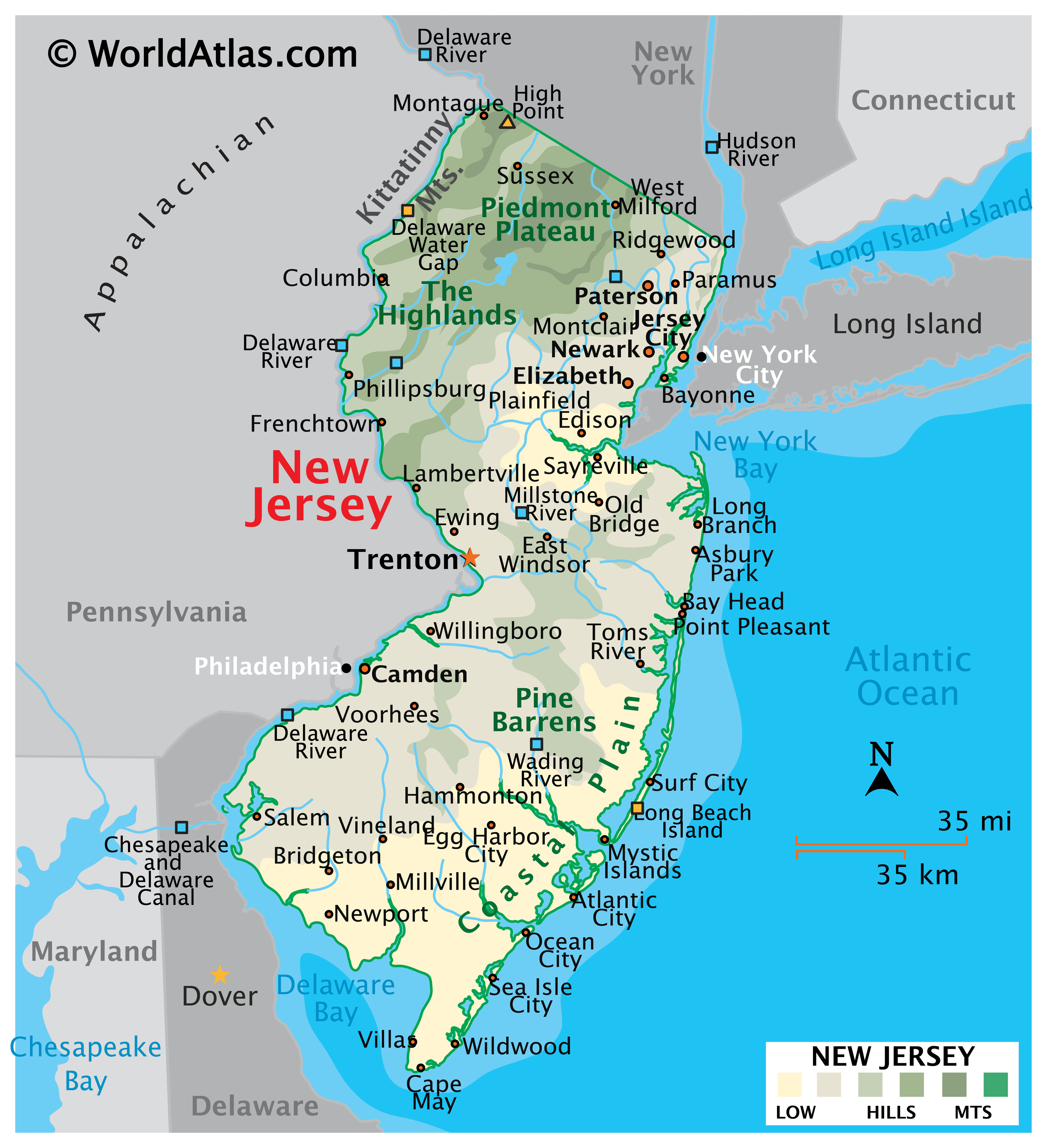
New Jersey cities map
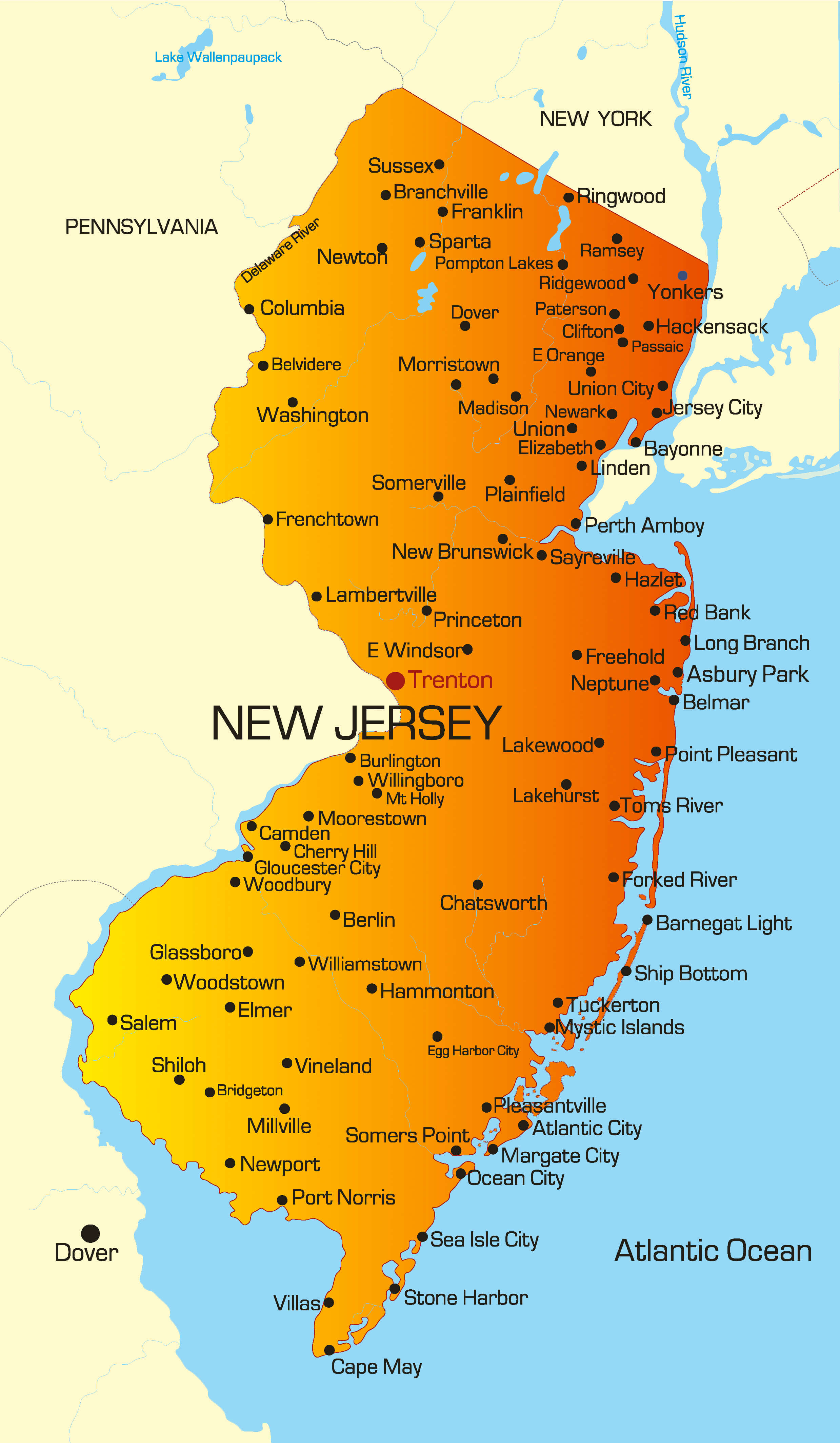
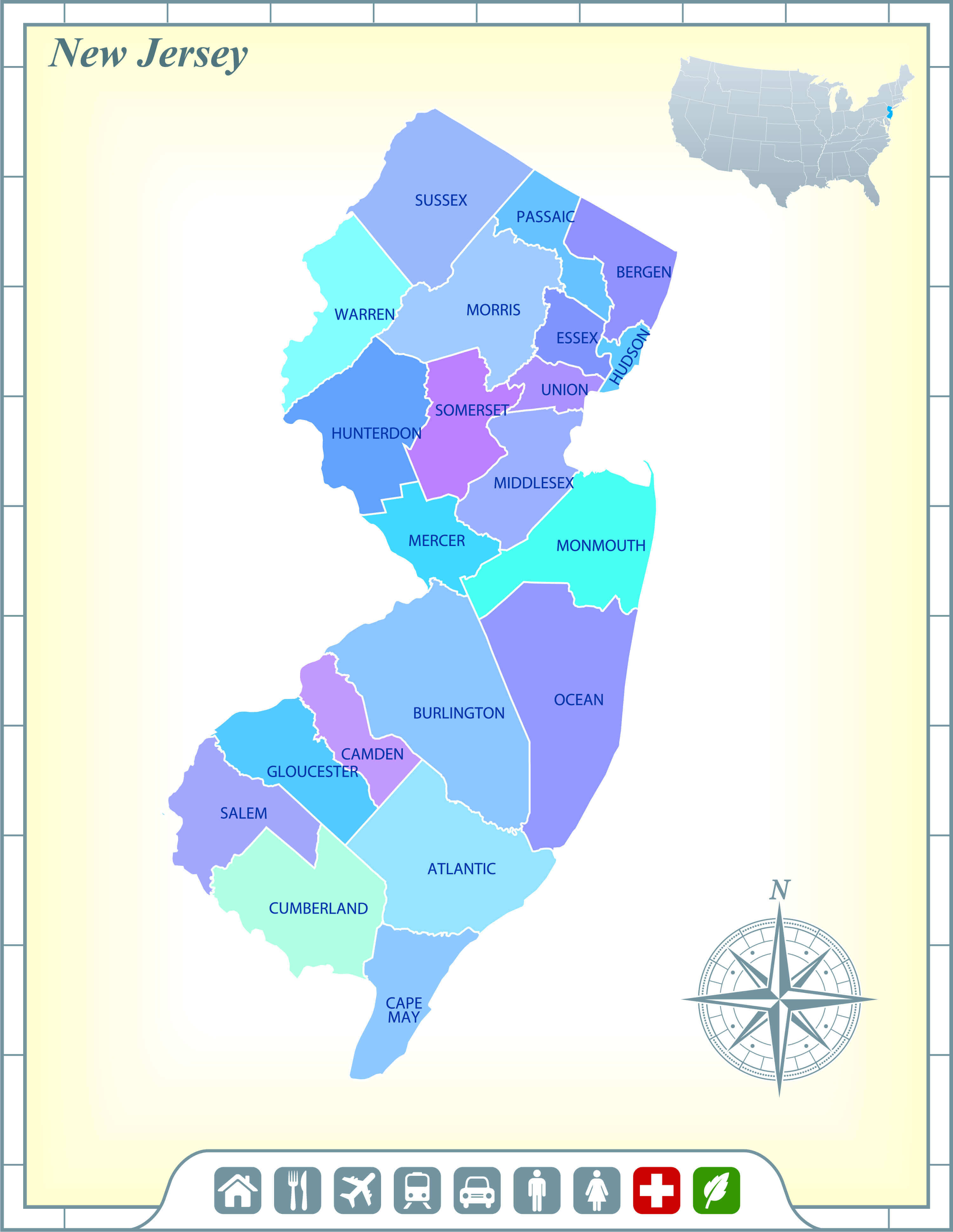
County map of New Jersey
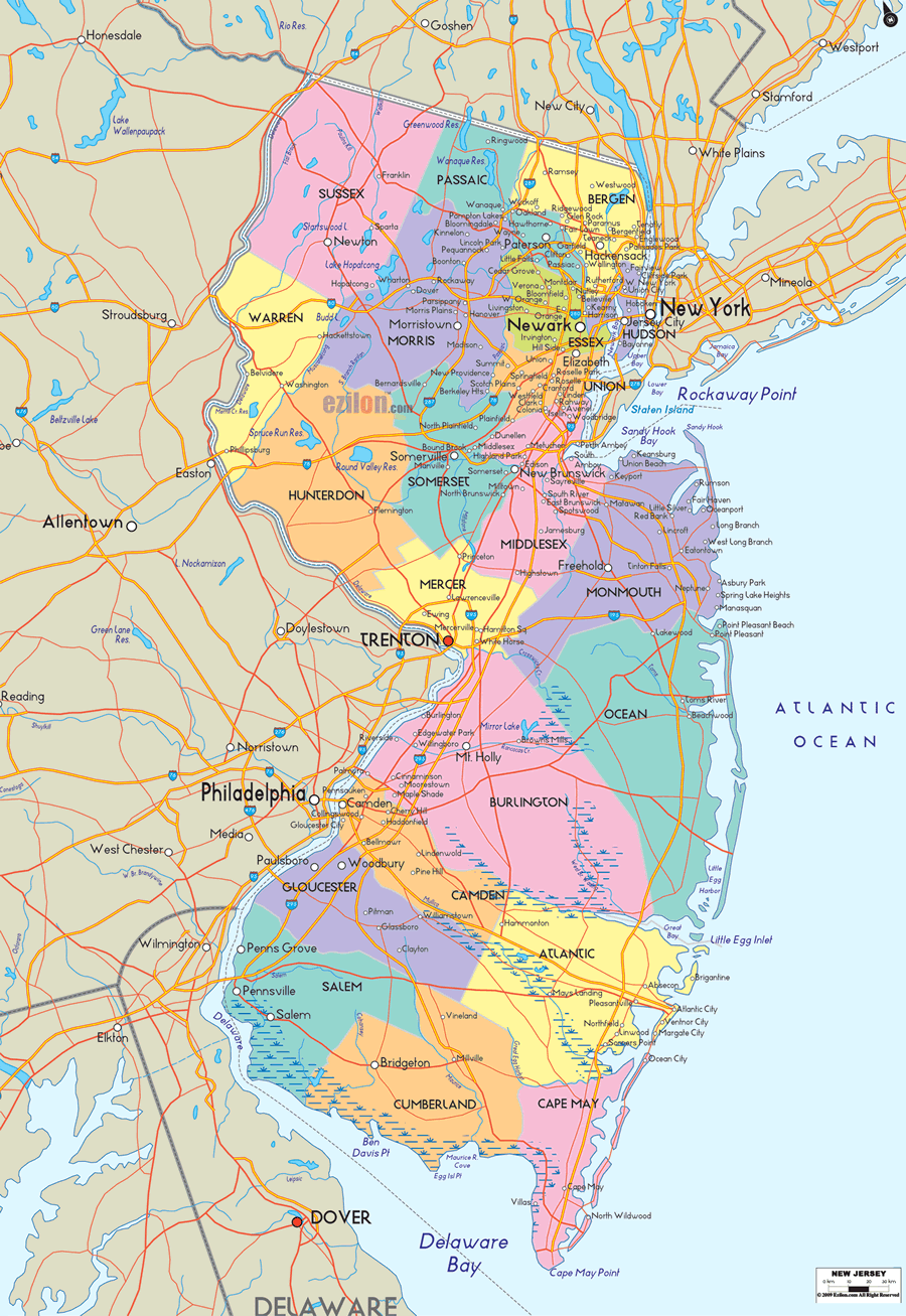
Map of New Jersey transportation networks and cities
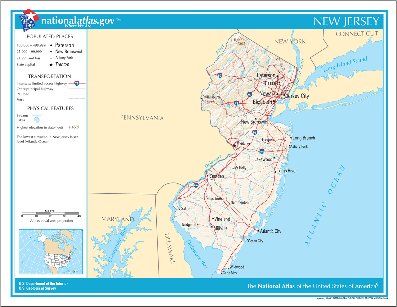
New Jersey administrative map
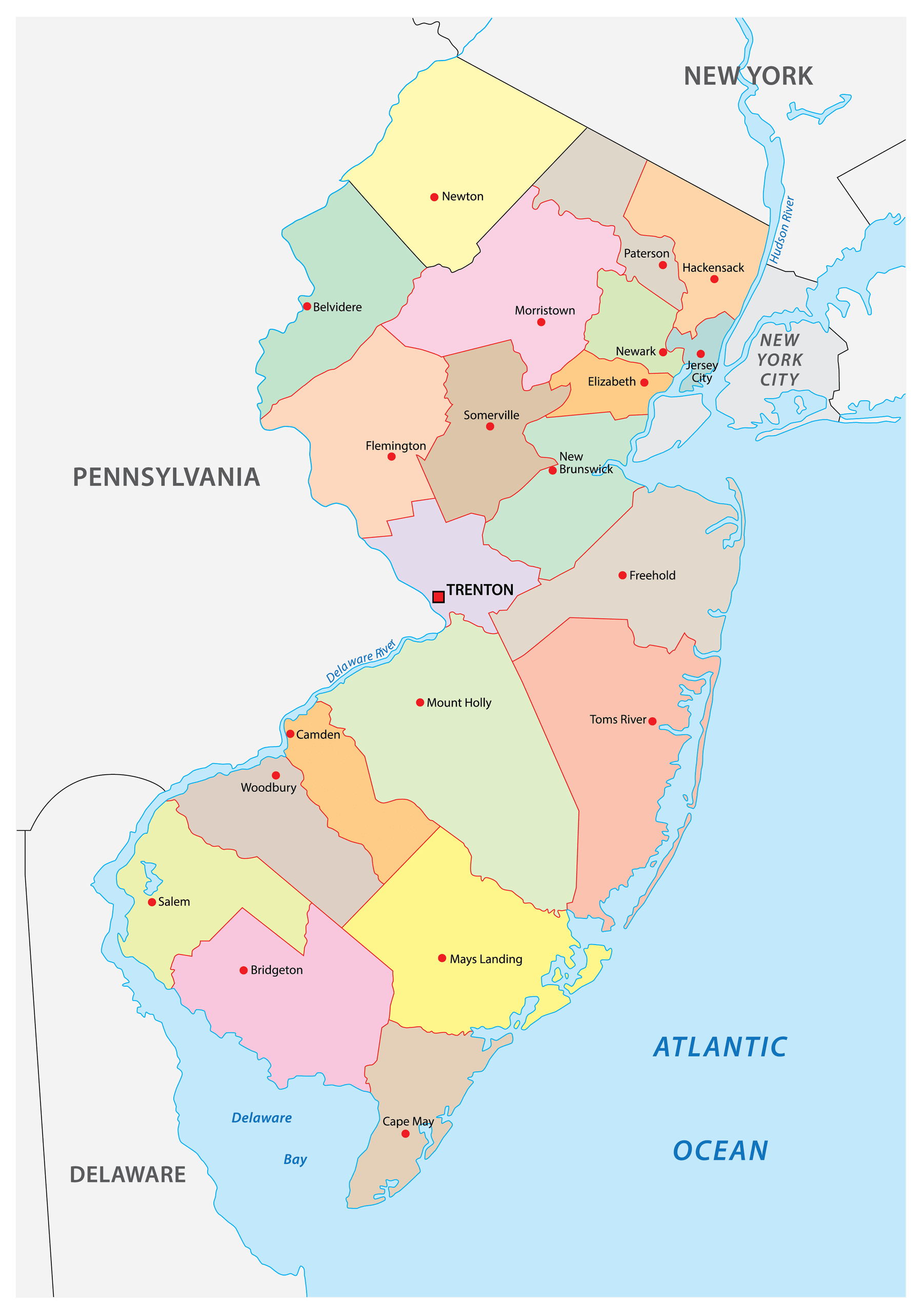
New Jersey cities historical map 1827
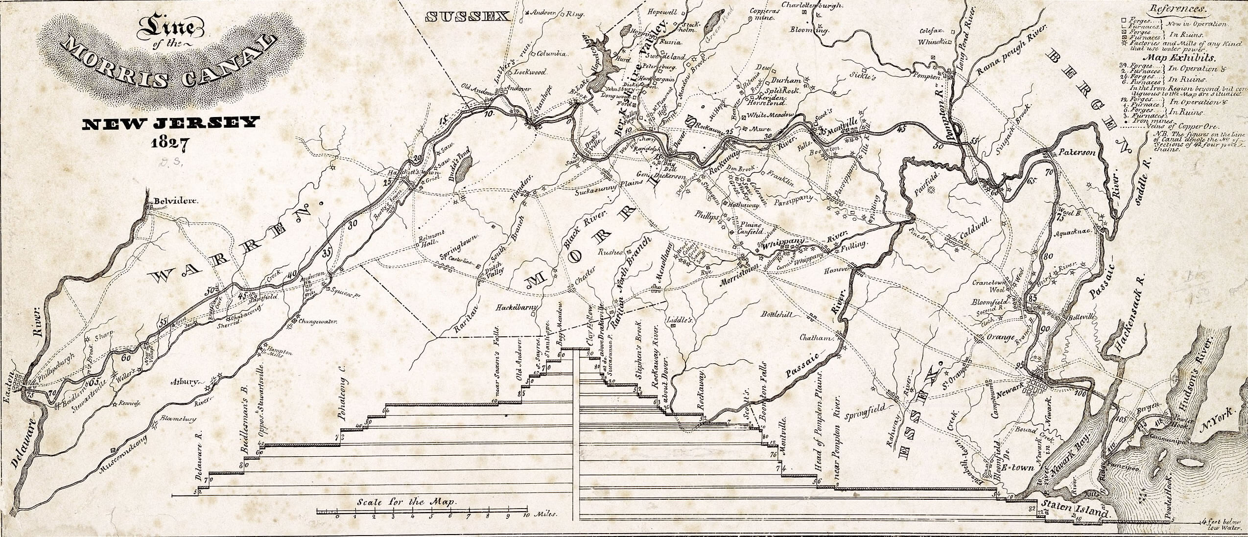
New Jersey cities interstate map
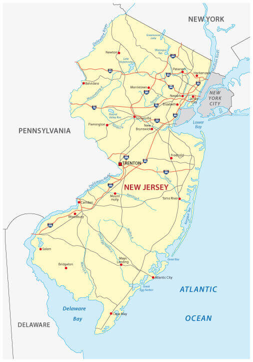
New Jersey counties and cities map with US
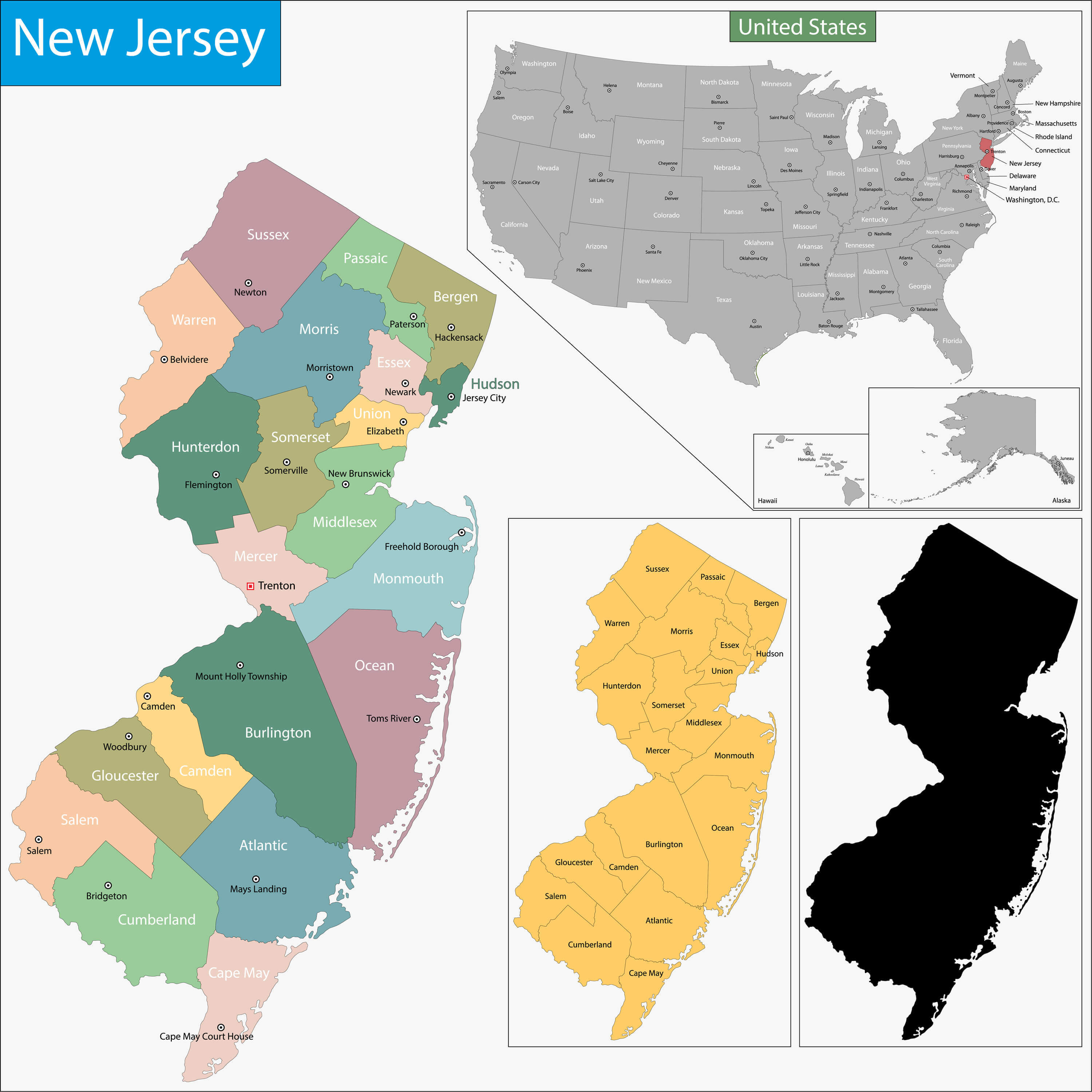
New Jersey counties by metro areas
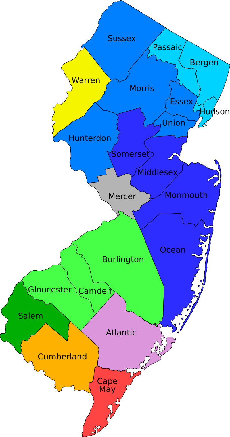
New Jersey counties map
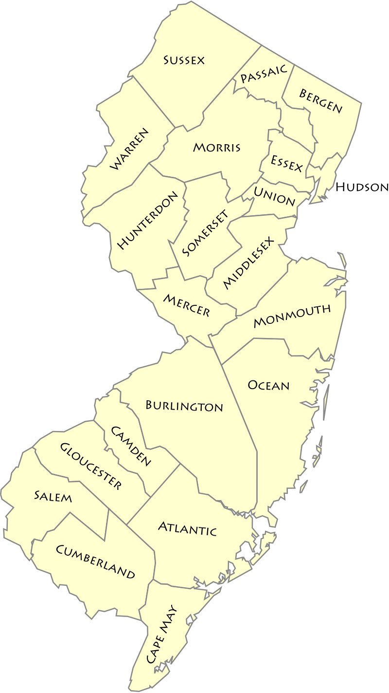
New Jersey county outline wall map
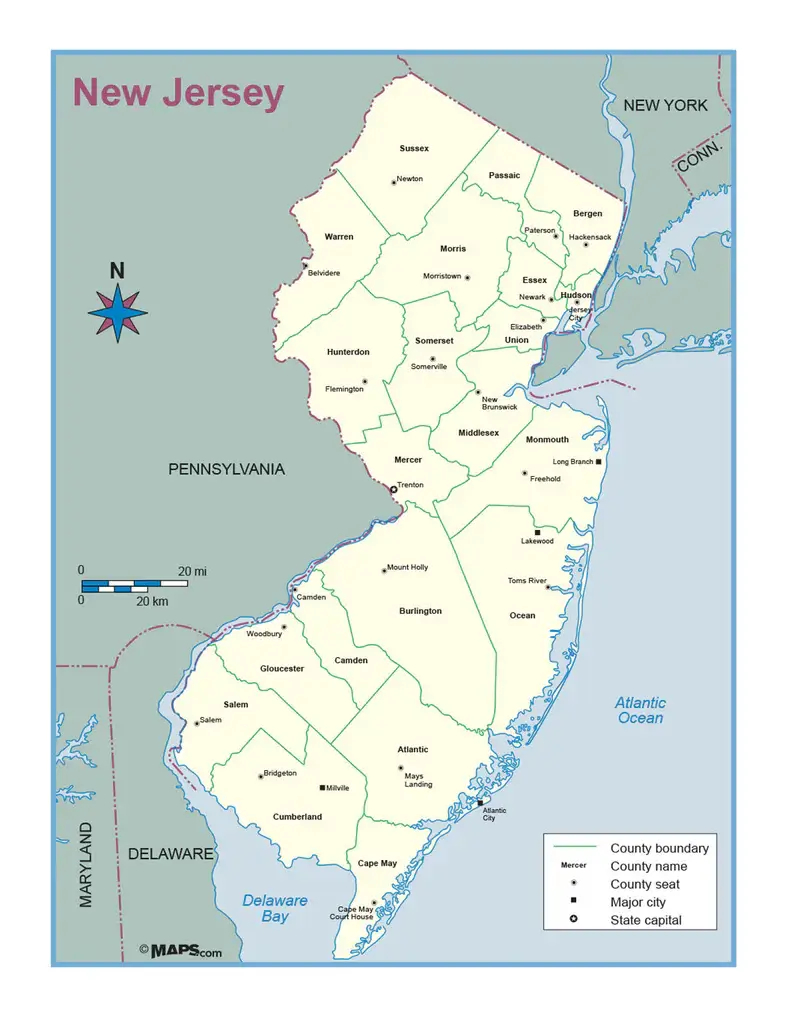
New Jersey interstate map with cities
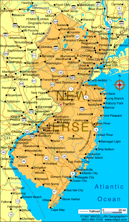
New Jersey interstate map with main cities
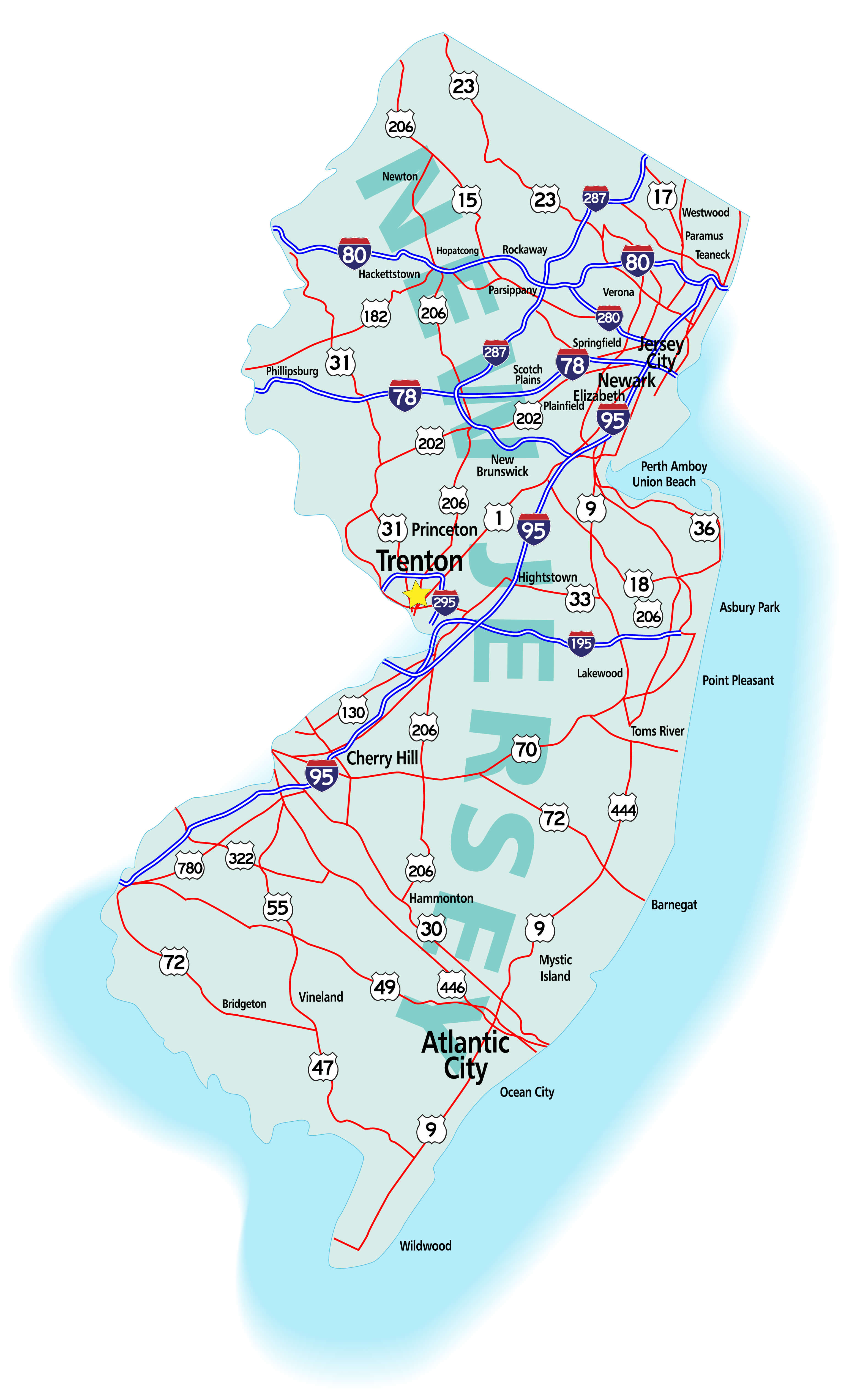
New Jersey populated cities map
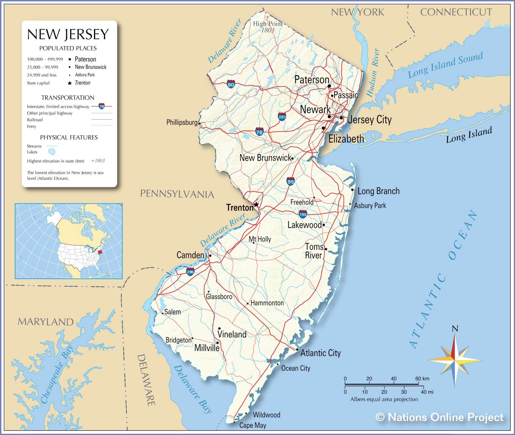
New Jersey road map with cities
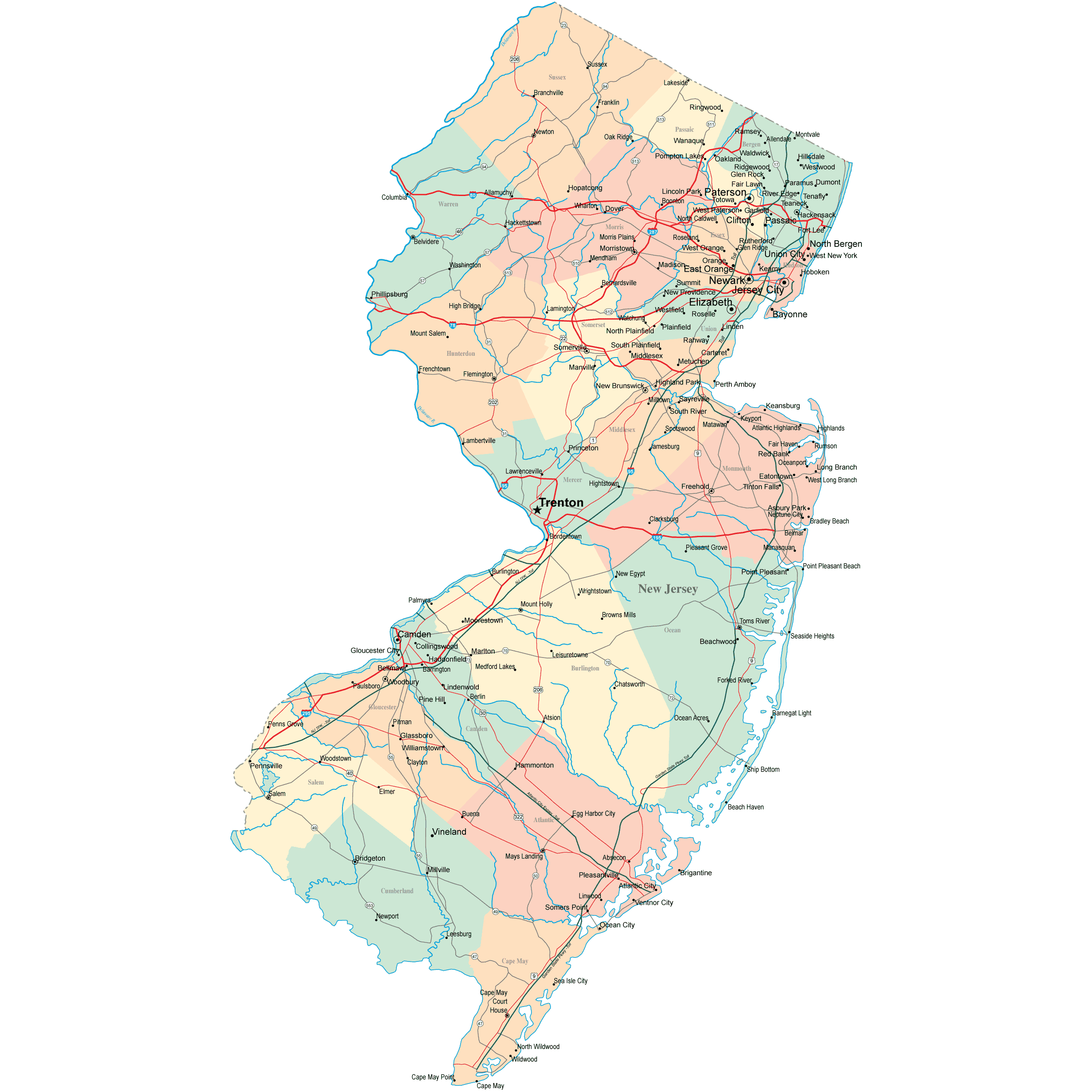
New Jersey road map with cities
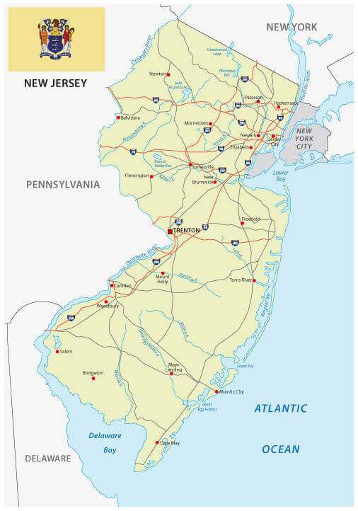
New Jersey state and cities map us
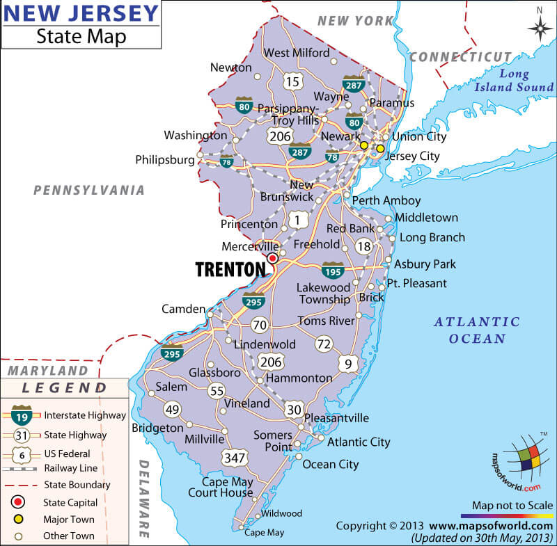
New Jersey state map with main cities
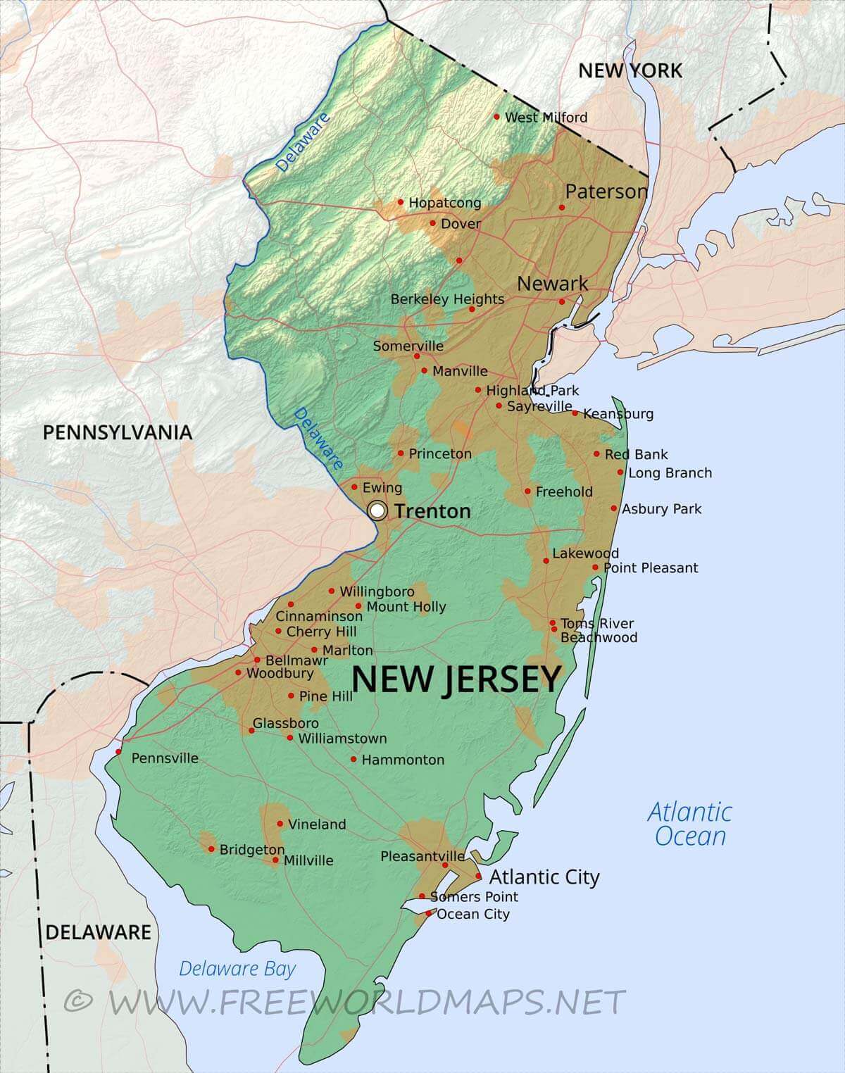
Physical map of New Jersey with cities
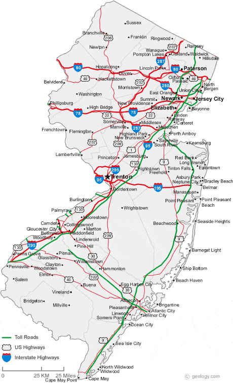
Road map of New Jersey cities
Where is New Jersey on the United States Map?
Show Google map, satellite map, where is the country located.
Get directions by driving, walking, bicycling, public transportation and travel with street view.
Feel free to explore these pages as well:
- New Jersey Map ↗️
- Map of New Jersey ↗️
- About New Jersey ↗️
- New Jersey Photos ↗️
- US Cities Map ↗️
- United States Cities Map ↗️
- California Cities Map ↗️
- Texas Cities Map ↗️
- New York Cities Map ↗️
- Florida Cities Map ↗️
- Pennsylvania Cities Map ↗️
- Illinois Cities Map ↗️
- Ohio Cities Map ↗️
- Georgia Cities Map ↗️
- North Carolina Cities Map ↗️
- Michigan Cities Map ↗️
- Virginia Cities Map ↗️
- Washington Cities Map ↗️
- Arizona Cities Map ↗️
- Tennessee Cities Map ↗️
- Massachusetts Cities Map ↗️
- Indiana Cities Map ↗️
- Maryland Cities Map ↗️
- Missouri Cities Map ↗️
- Wisconsin Cities Map ↗️
- United States Map ↗️
- Map of United States ↗️
- North America Map ↗️
- Advertisement -
