- Advertisement -
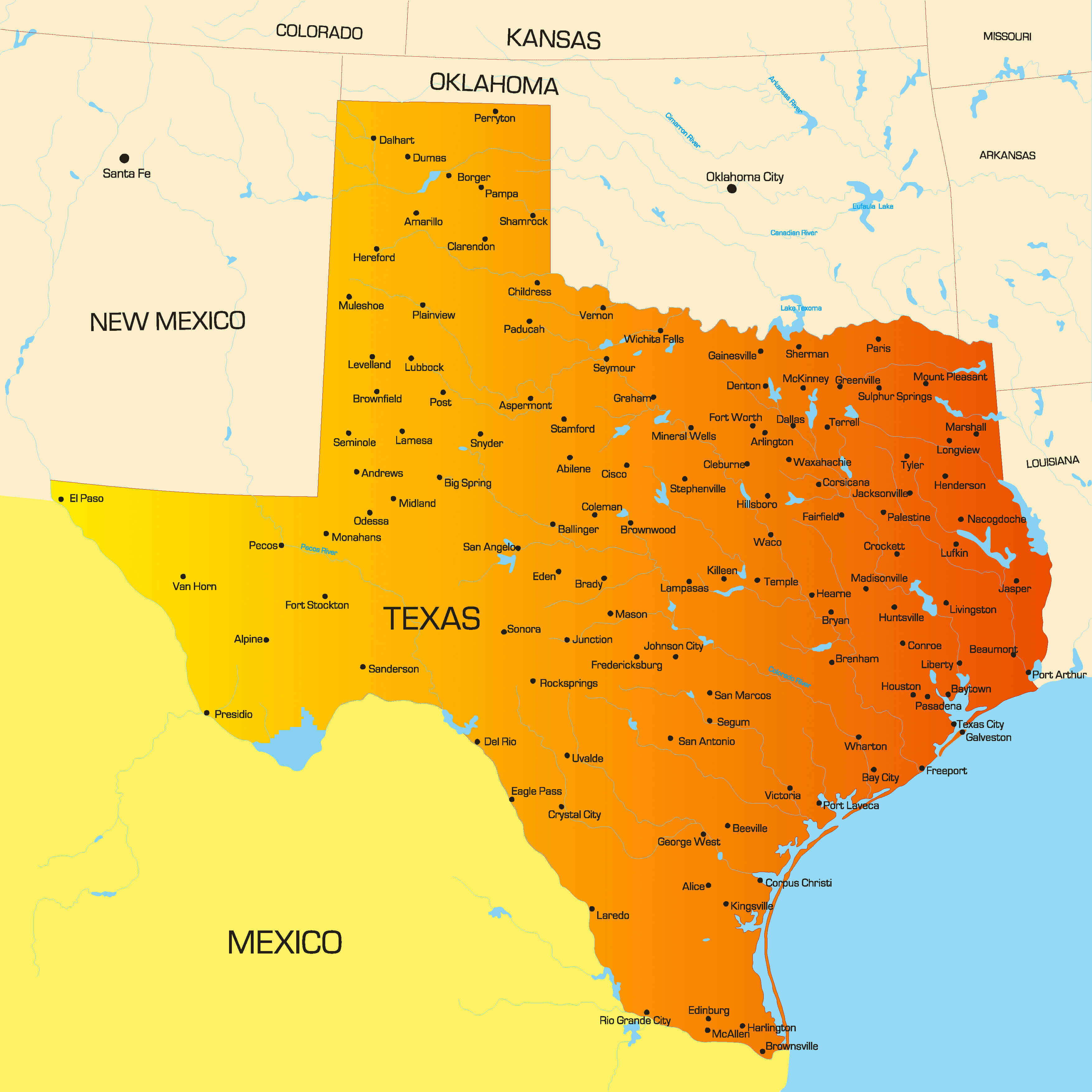
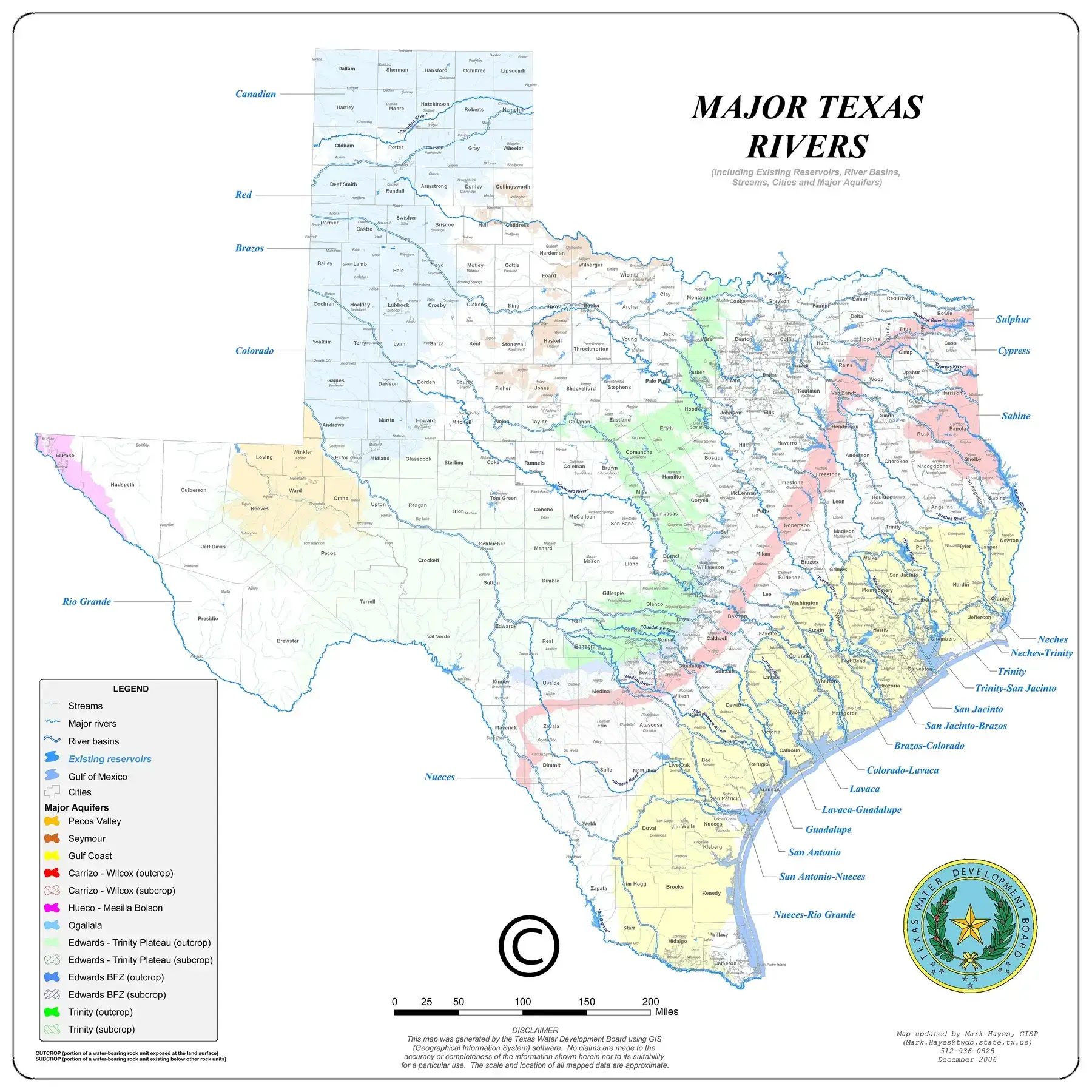
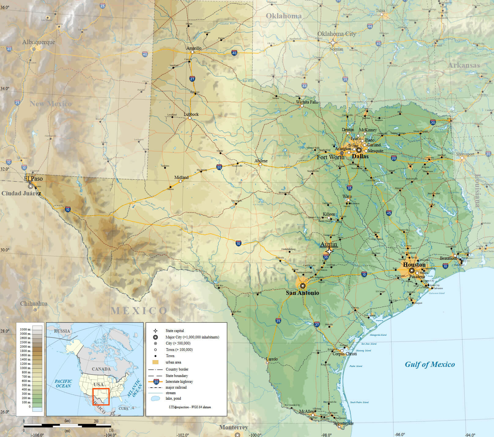
Explore the Texas Cities Map, a comprehensive guide highlighting major Texas cities, counties, and highways. This political and physical map of Texas with cities shows everything from interstate roads to rivers and agricultural regions, extending to the Mexico border.
Discover detailed information on Texas regions and cities, population distribution, and geography through this relief and topographic map of Texas with cities and counties—perfect for travelers, students, and researchers.
Texas Cities Map with Counties and Borders
Major Texas rivers map with cities
Map of Texas counties and cities
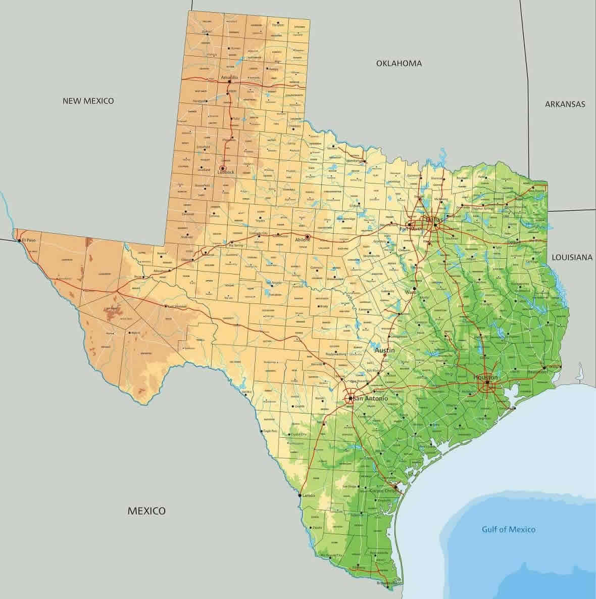
Physical map of Texas with cities
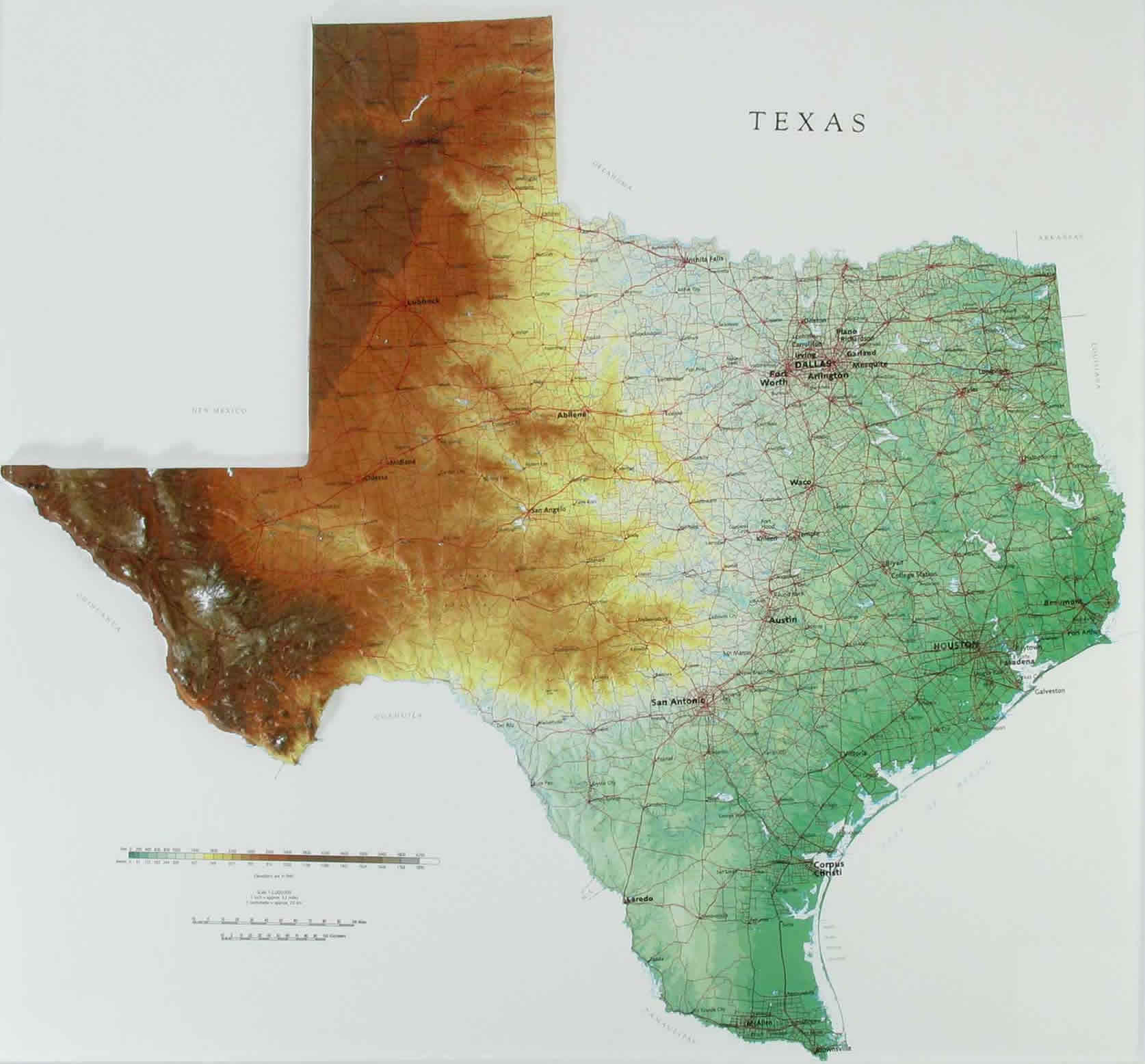
Political map of Texas with cities and counties
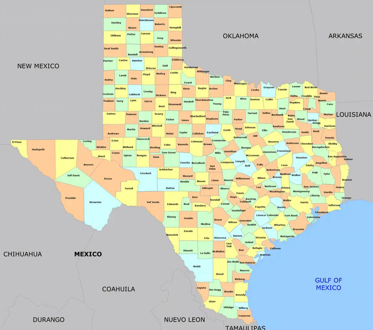
Relief map of Texas with cities
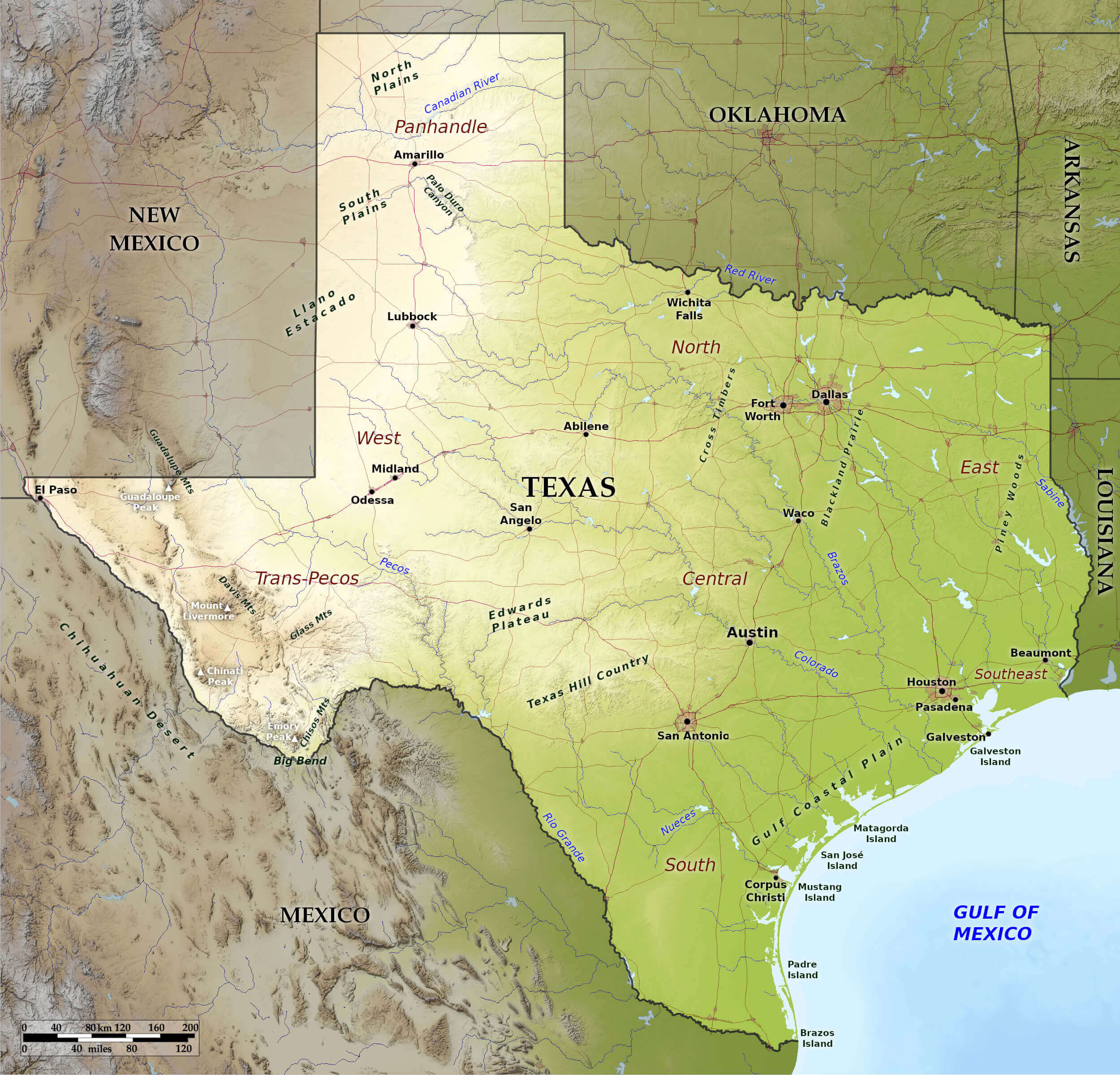
Texas agriculture map with cities
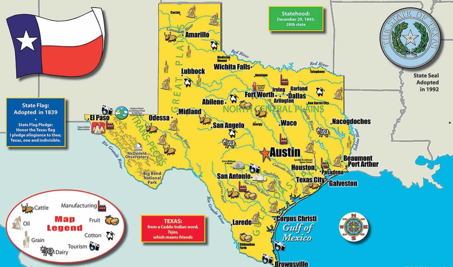
Texas cities and counties map in the US
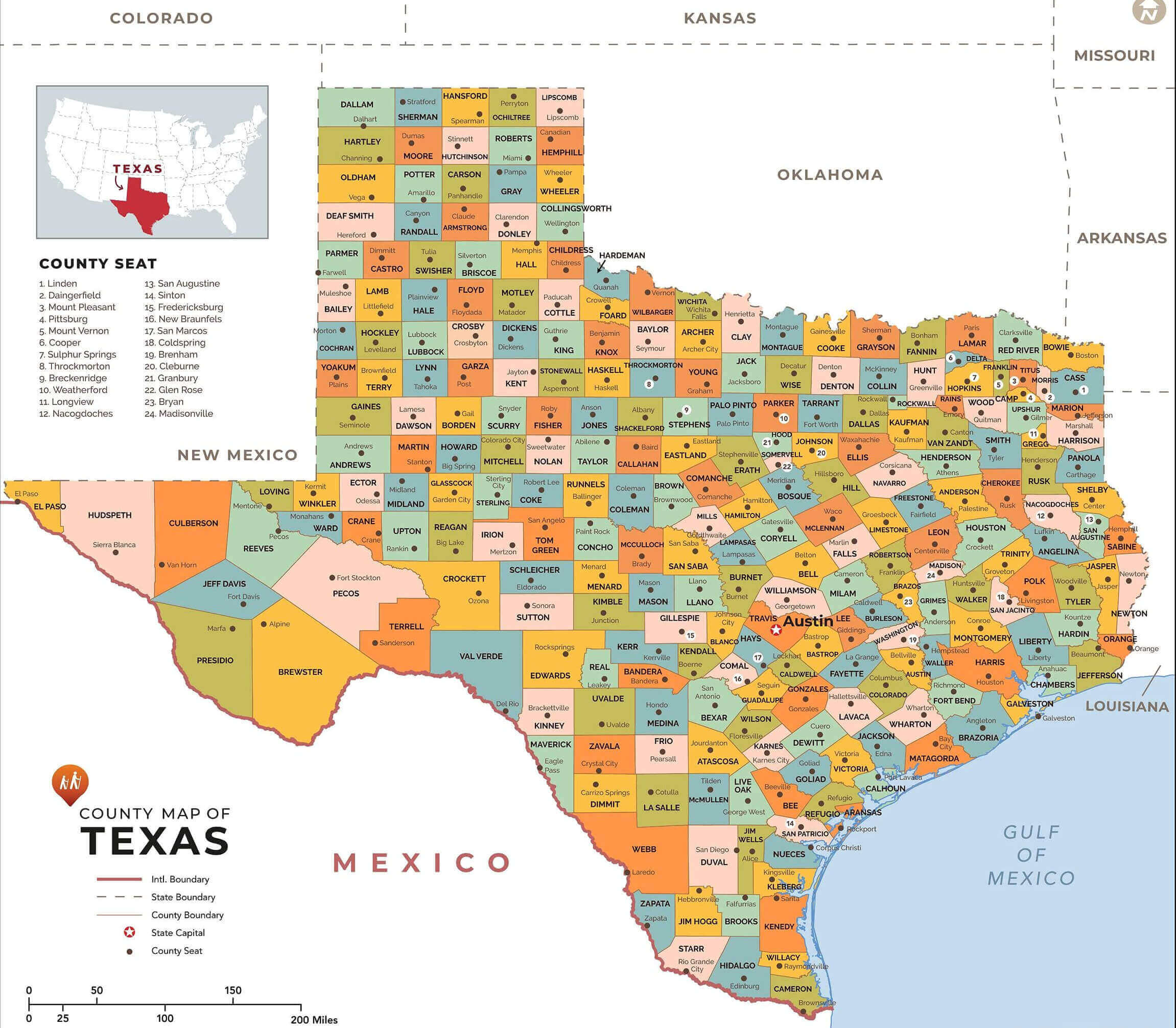
Texas cities and counties map with mexico and border
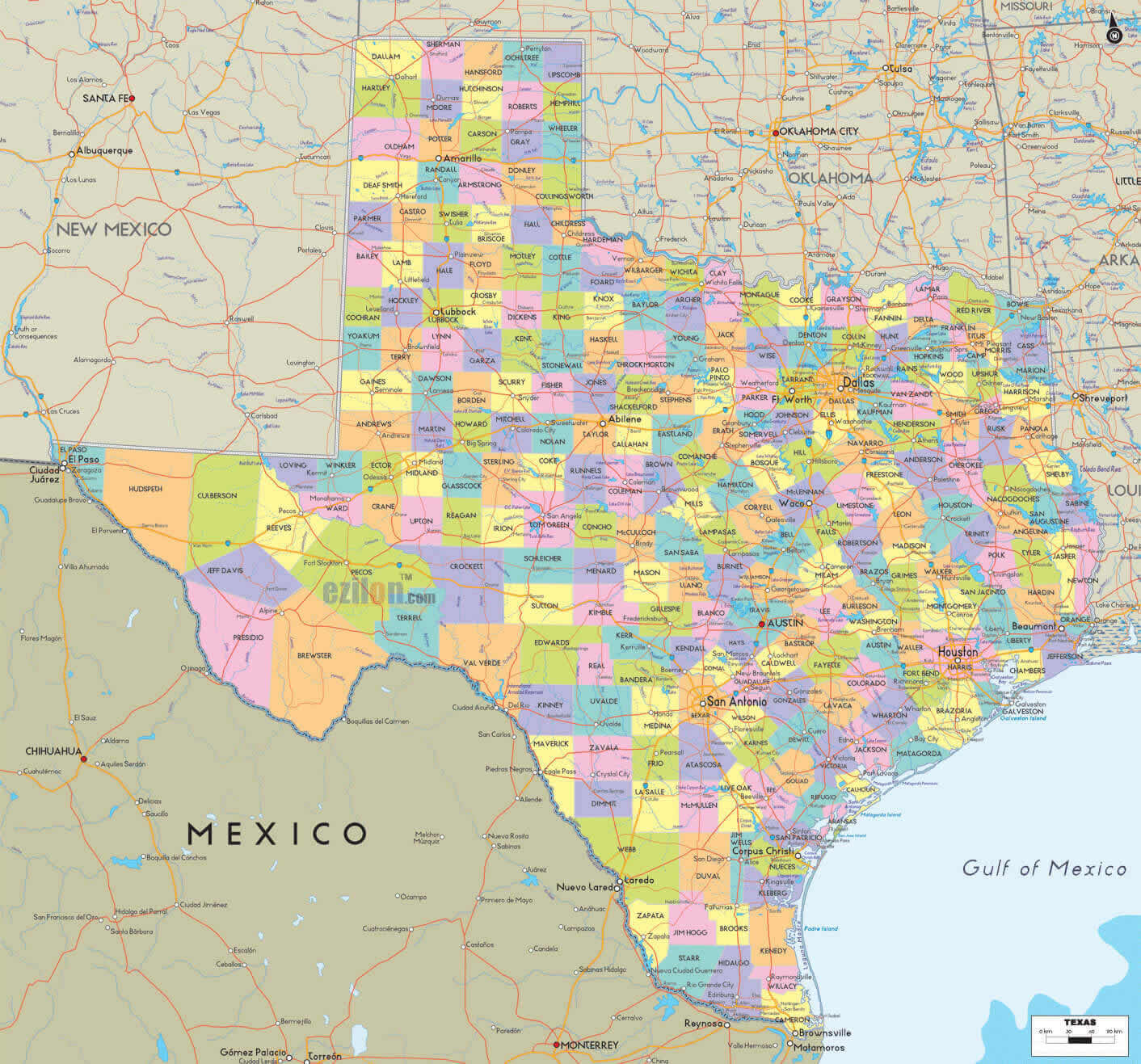
Texas cities and roads map
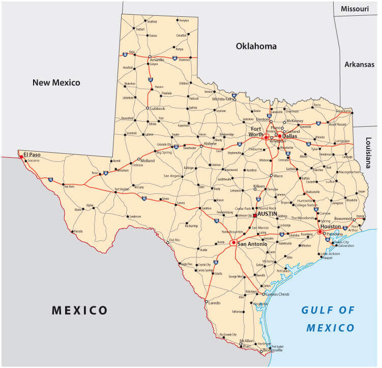
Texas cities highways map
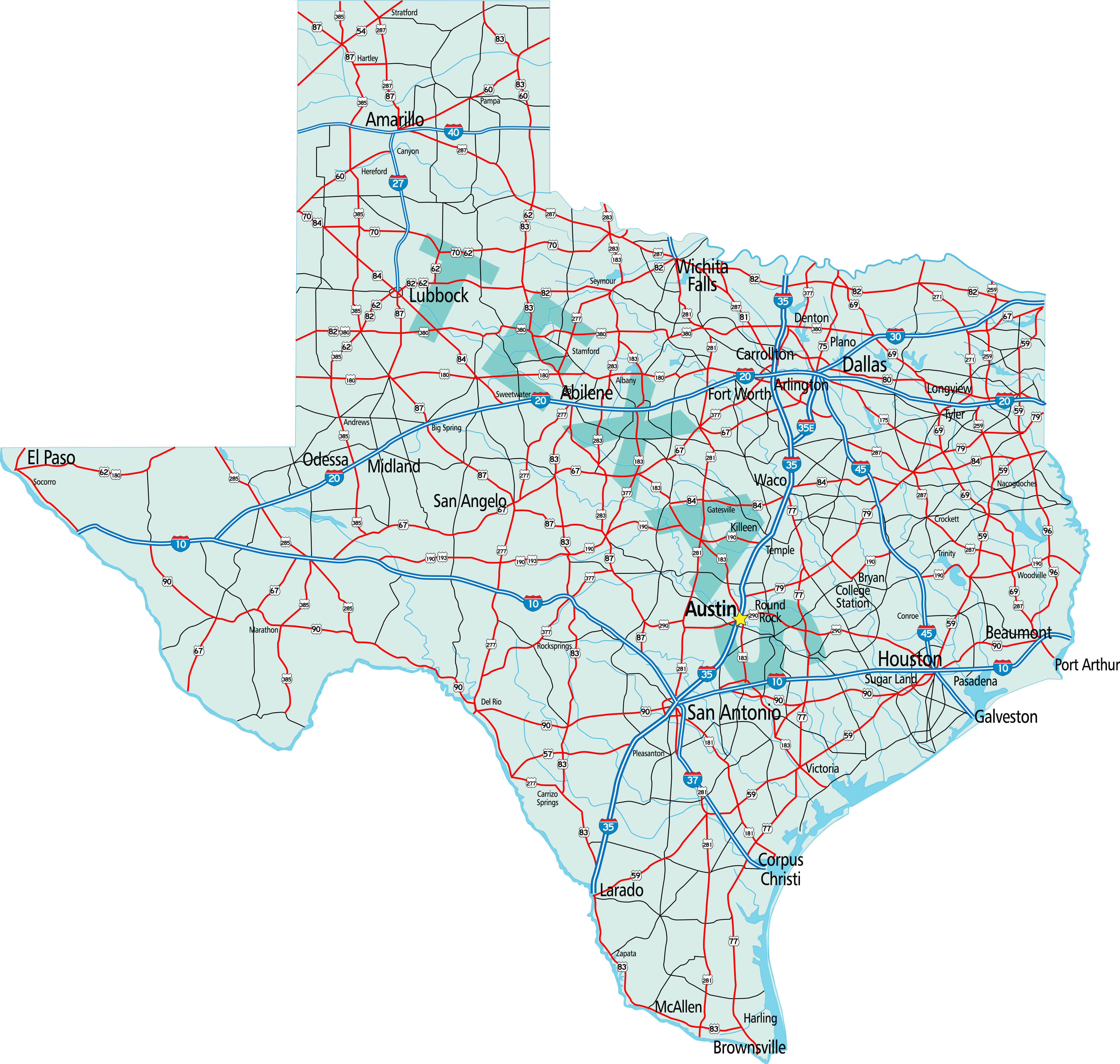
Texas cities interstate highways map
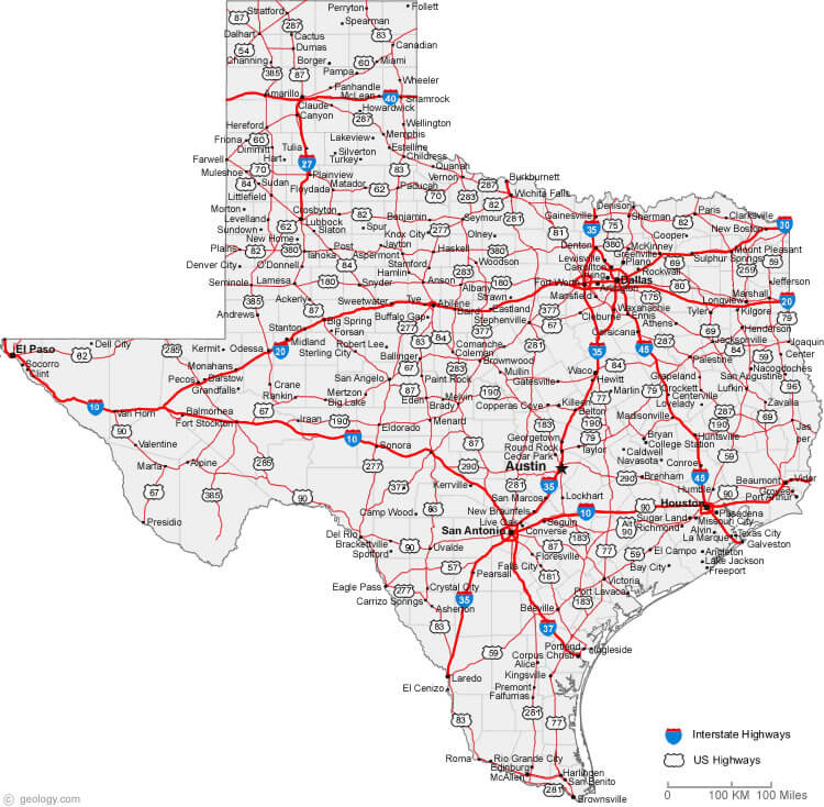
Texas cities population map in french
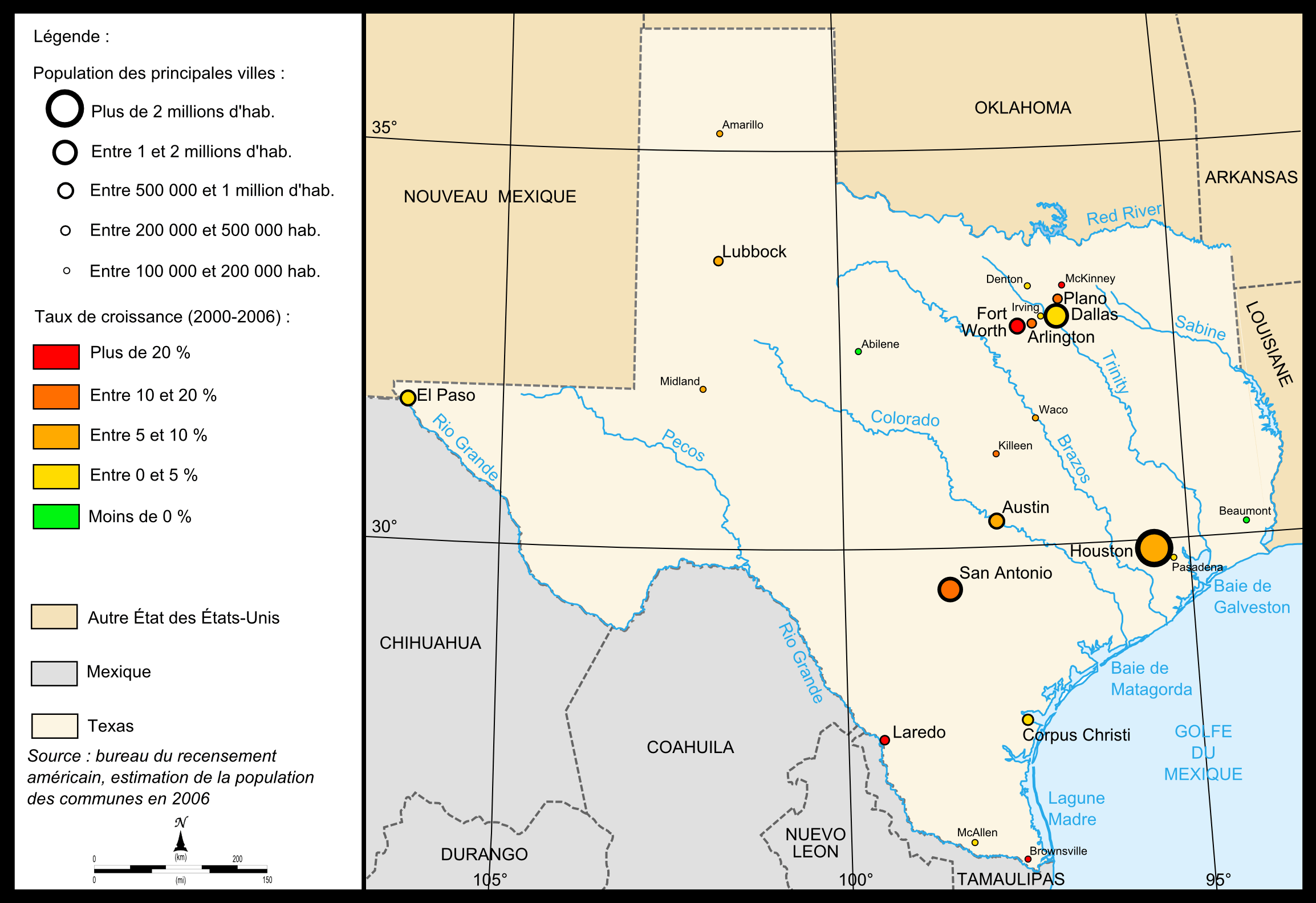
Texas cities population map
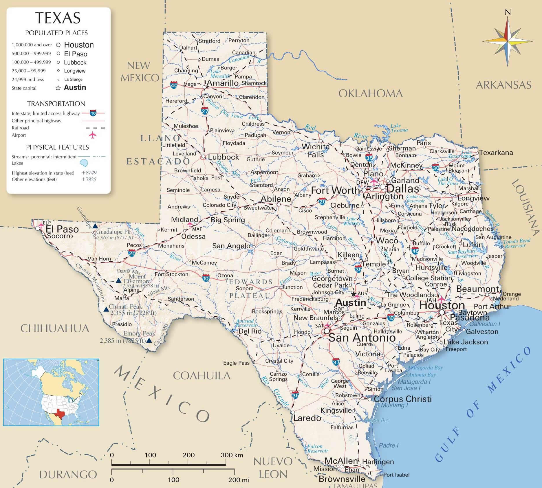
Texas county map with interstate roads
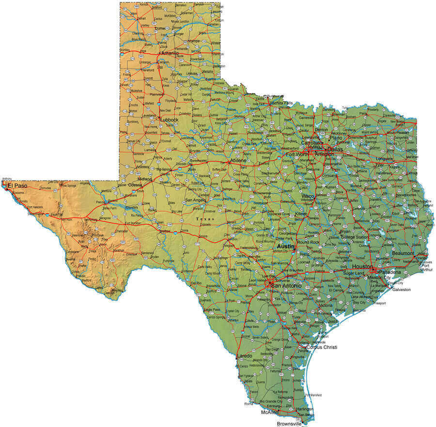
Texas main cities map
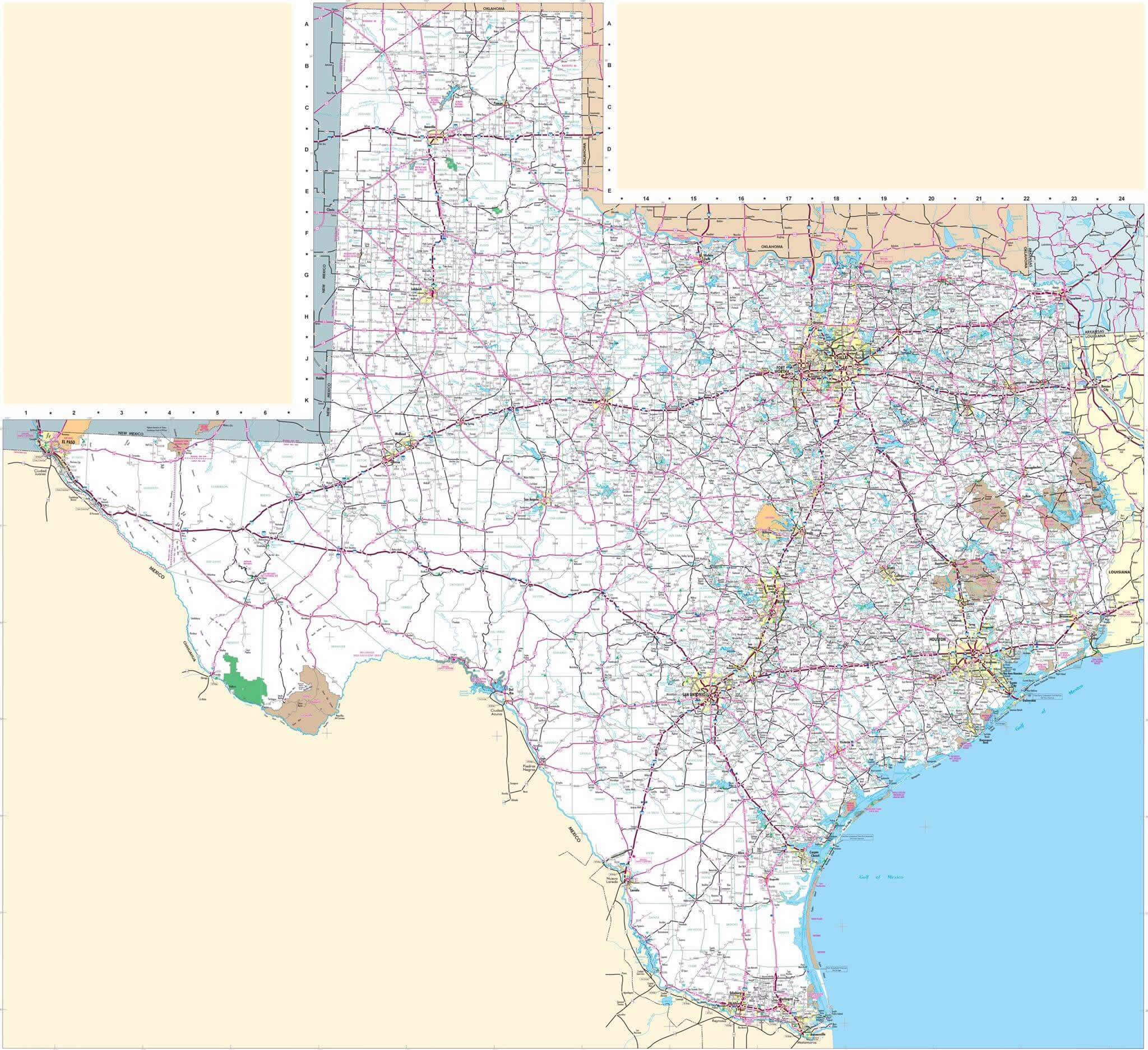
Texas main cities physical map
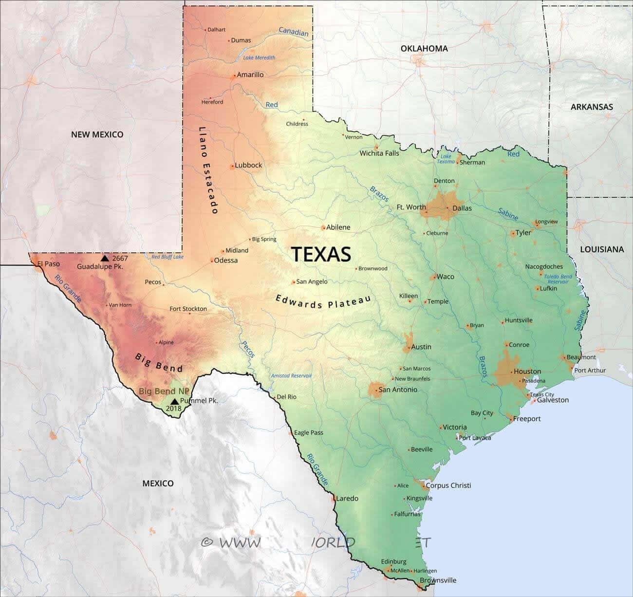
Texas major cities map
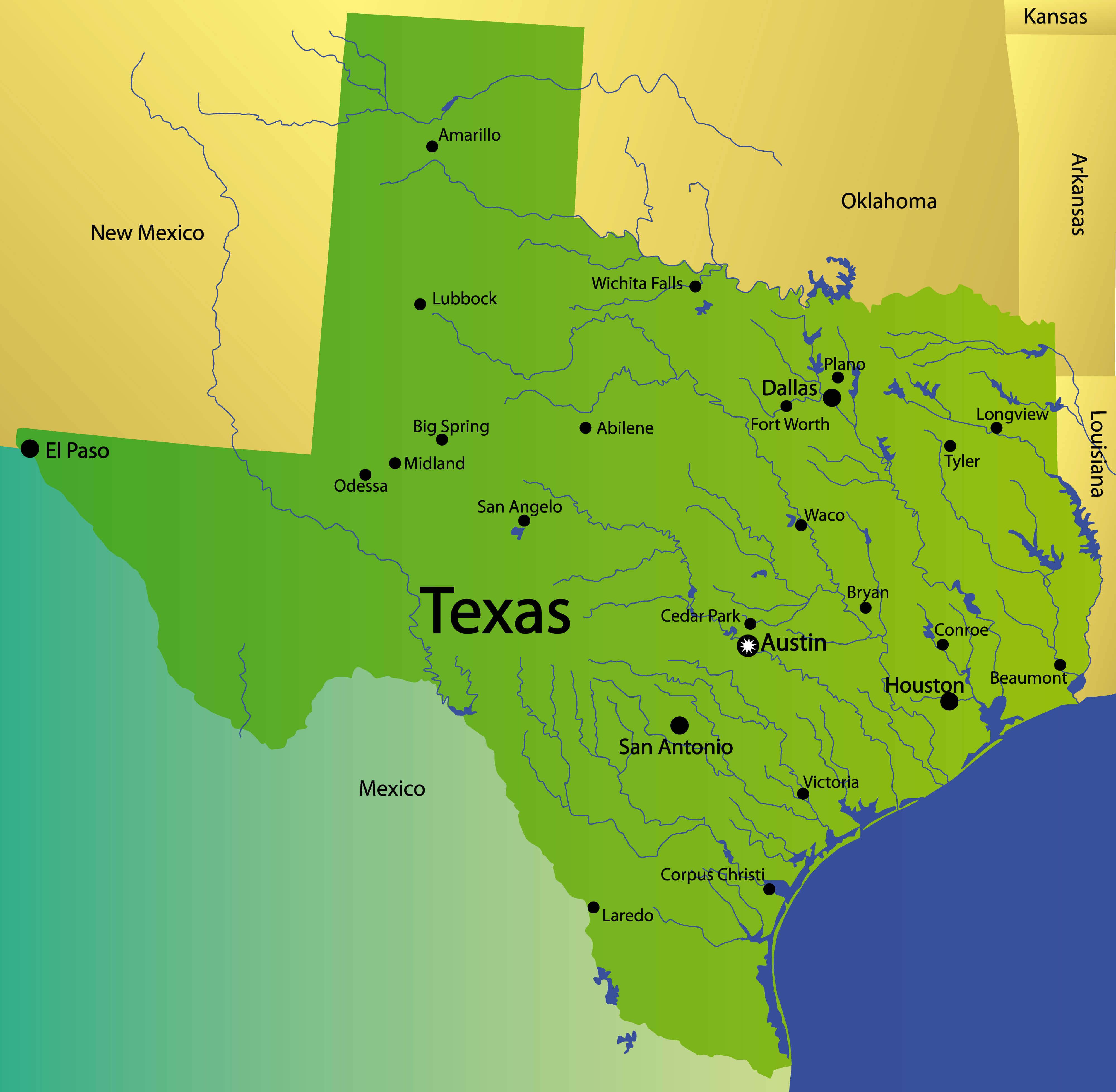
Texas major cities map
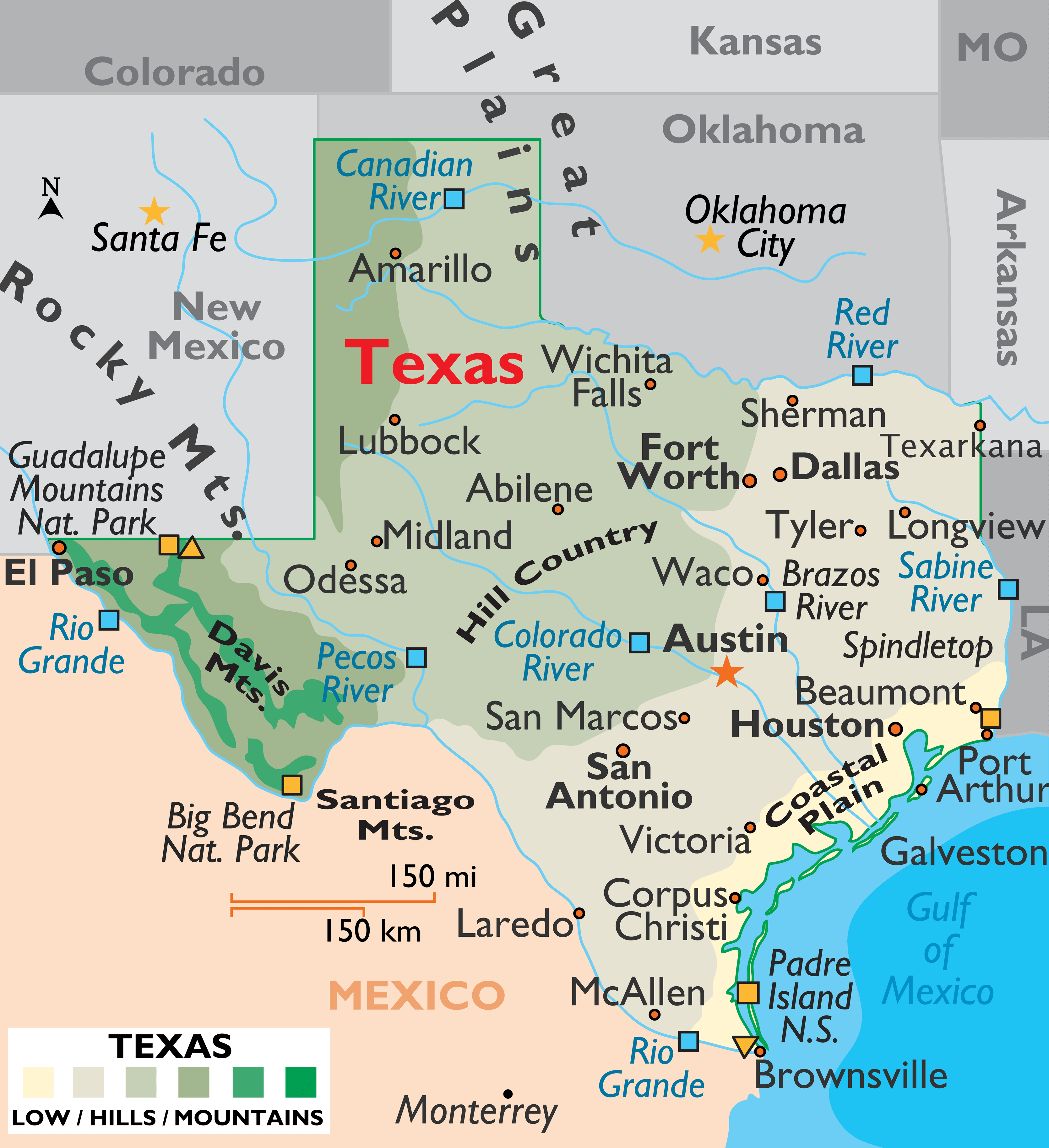
Texas regions and cities map
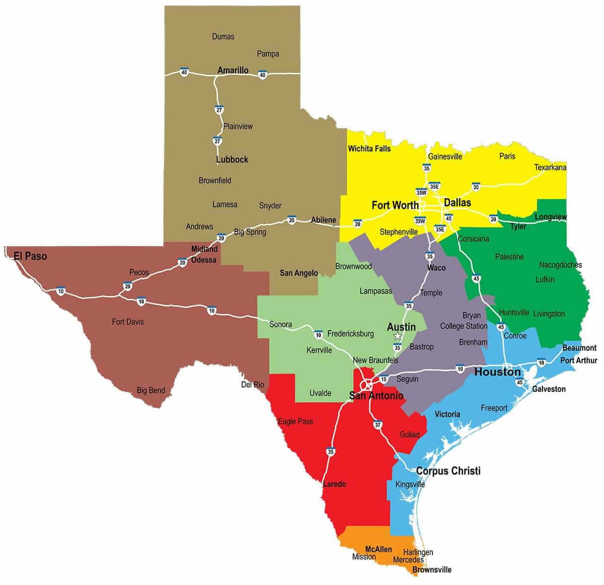
Texas topographic map with cities
Where is Texas on the United States Map?
Show Google map, satellite map, where is the country located.
Get directions by driving, walking, bicycling, public transportation and travel with street view.
Feel free to explore these pages as well:
- Texas Map ↗️
- Map of Texas ↗️
- Texas County Map ↗️
- Texas Cities Map ↗️
- Texas Photos ↗️
- Texas Time Zone Map ↗️
- US Cities Map ↗️
- United States Cities Map ↗️
- California Cities Map ↗️
- New York Cities Map ↗️
- Florida Cities Map ↗️
- Pennsylvania Cities Map ↗️
- Illinois Cities Map ↗️
- Ohio Cities Map ↗️
- Georgia Cities Map ↗️
- North Carolina Cities Map ↗️
- Michigan Cities Map ↗️
- New Jersey Cities Map ↗️
- Virginia Cities Map ↗️
- Washington Cities Map ↗️
- Arizona Cities Map ↗️
- Tennessee Cities Map ↗️
- Massachusetts Cities Map ↗️
- Indiana Cities Map ↗️
- Maryland Cities Map ↗️
- Missouri Cities Map ↗️
- Wisconsin Cities Map ↗️
- United States Map ↗️
- Map of United States ↗️
- North America Map ↗️
- Advertisement -
