- Advertisement -
View of Wroclaw, Poland
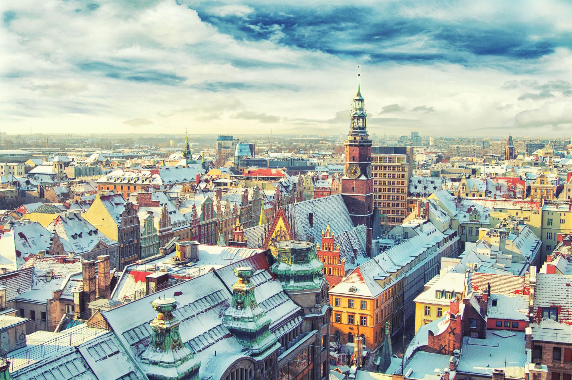
Tatra Mountains, Poland

Panorama of Czarny Staw Gasienicowy in Tatra Mountains, Poland, Europe.
Horse Carriages in Krakow
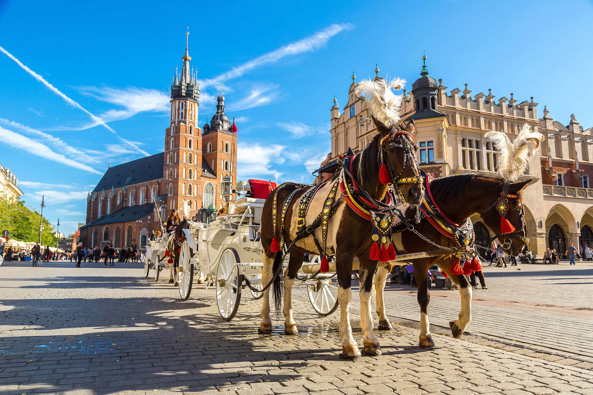
Horse carriages at main square in Krakow in a summer day, Poland.
Warsaw Skyscraper, Poland
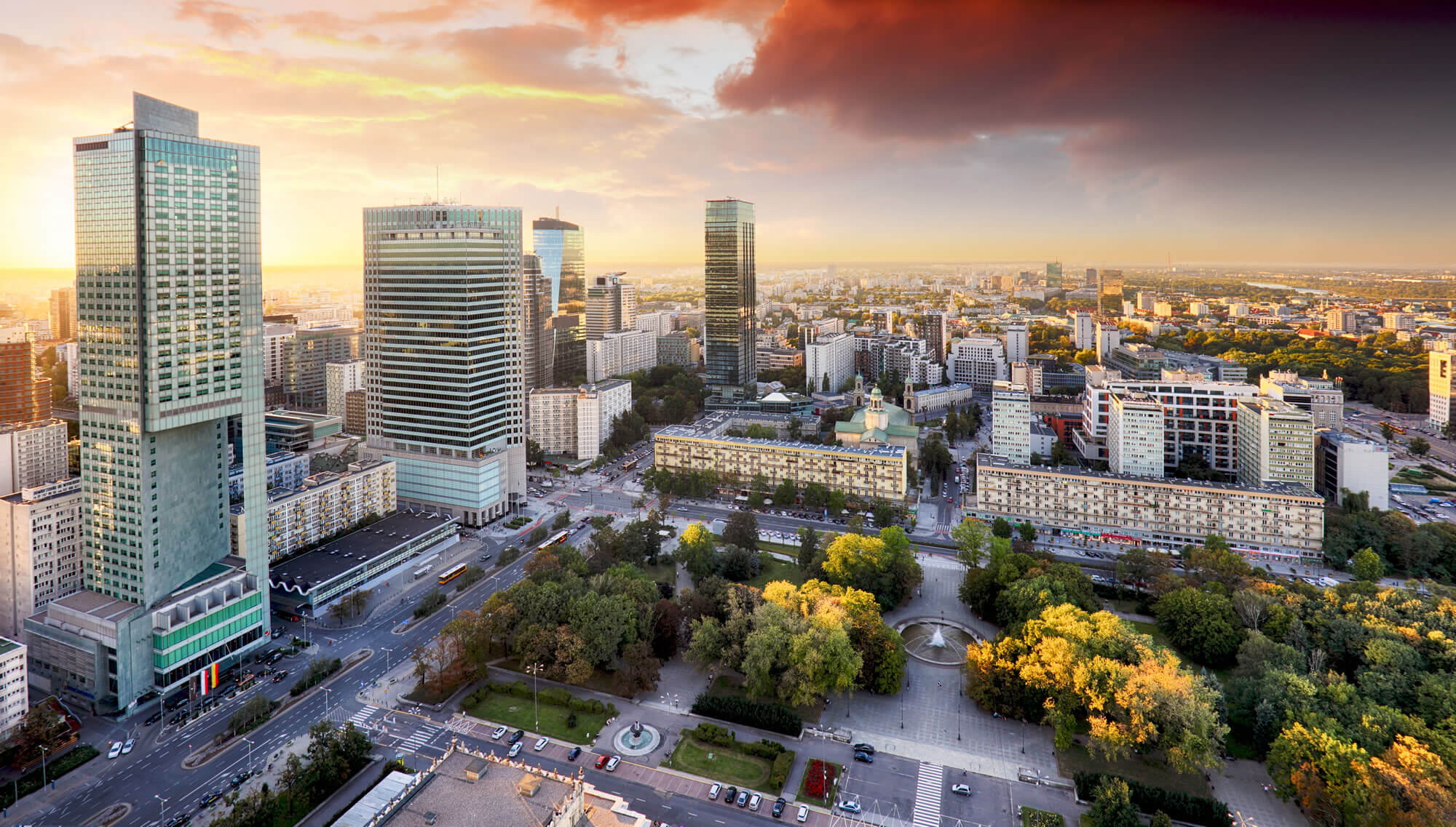
Warsaw city with modern skyscraper at sunset, Poland.
Wroclaw Market Square, Poland
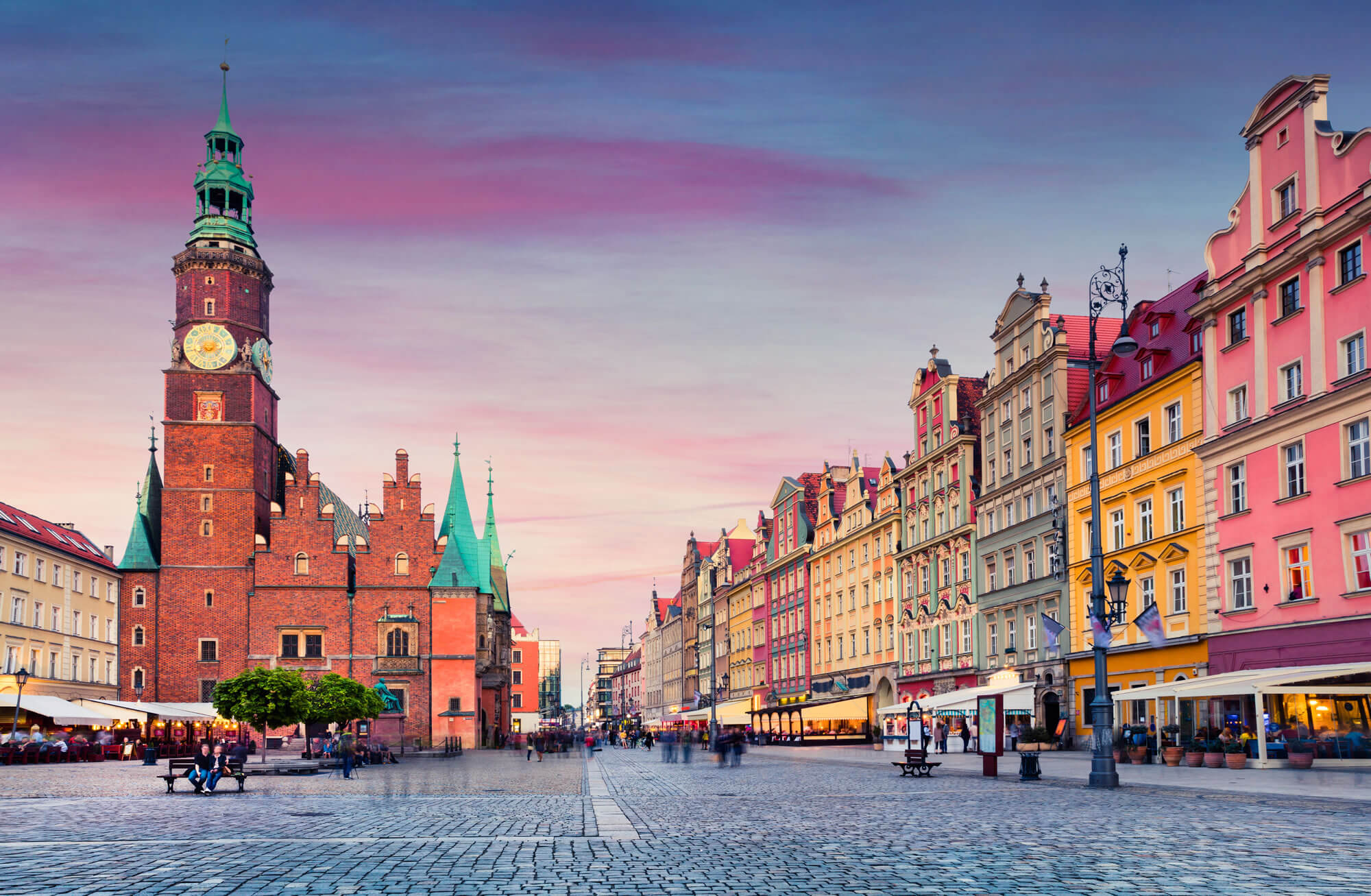
Colorful evening scene on Wroclaw Market Square with Town Hall. Sunset in historical capital of Silesia, Poland, Europe. Artistic style post processed photo.
Town Hall Tower in Krakow
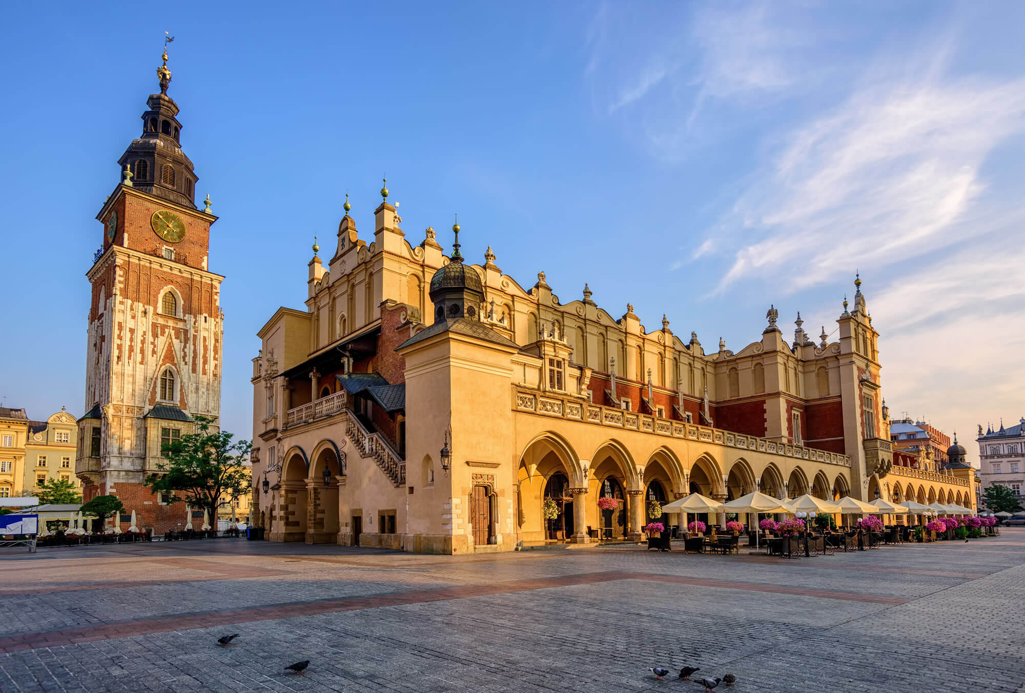
The Cloth Hall and Town Hall Tower in Krakow Olt Town, Poland.
Warsaw Palace of Culture and Science

Warsaw Palace of Culture and Science is the city’s most visible landmark and the tallest building in Poland.
Where is Poland on the Europe Map?
Show Google map, satellite map, where is the country located.
Get directions by driving, walking, bicycling, public transportation and travel with street view.
Feel free to explore these pages as well:
- Poland ↗️
- A Collection of Poland Maps ↗️
- Poland Photos ↗️
- Map of Poland ↗️
- Krakow’s Top 10 Best Attractions for Every Traveler ↗️
- A Collection of Germany Maps ↗️
- A Collection of Czechia Maps ↗️
- Europe Map ↗️
- Map of Europe ↗️
- Advertisement -
