- Advertisement -
A collection of United Kingdom Maps; View a variety of United Kingdom physical, political, administrative, relief map, United Kingdom satellite image, higly detalied maps, blank map, United Kingdom world and earth map, United Kingdom’s regions, topography, cities, road, direction maps and atlas.
A Collection of United Kingdom Maps
United Kingdom Political Map

United Kingdom Regions Map
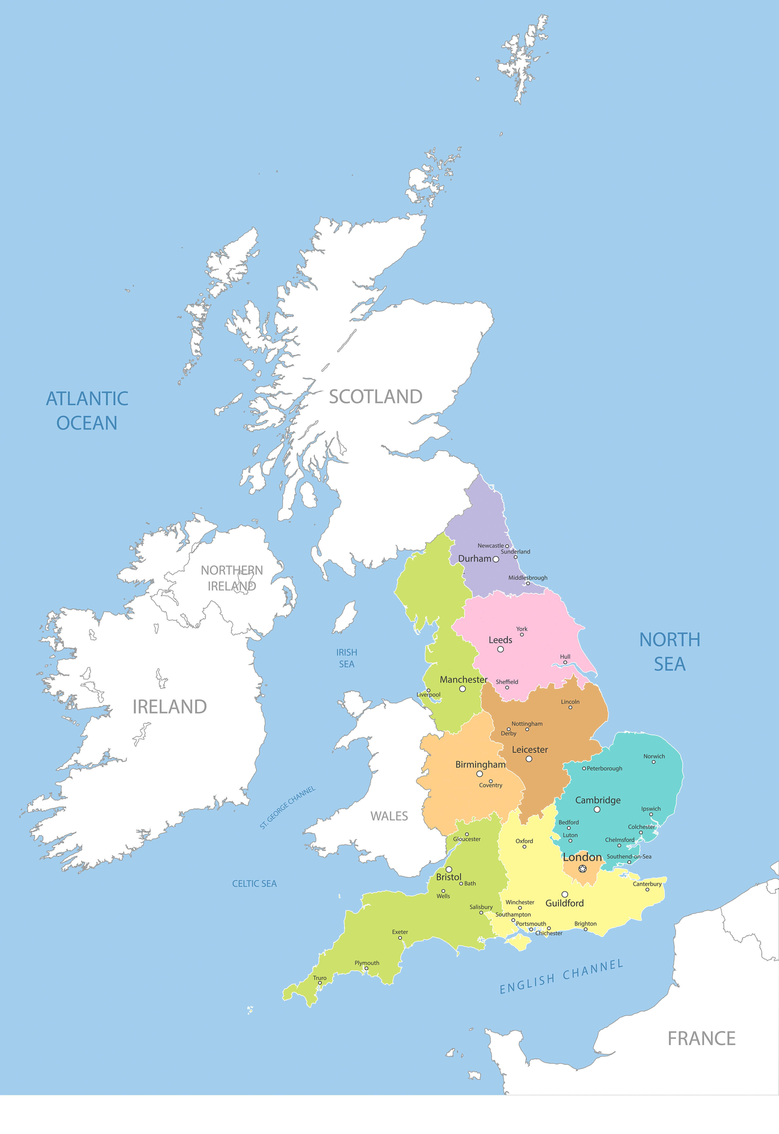
UK, Highly detailed map of Great Britain’s regions.
United Kingdom Satellite Map
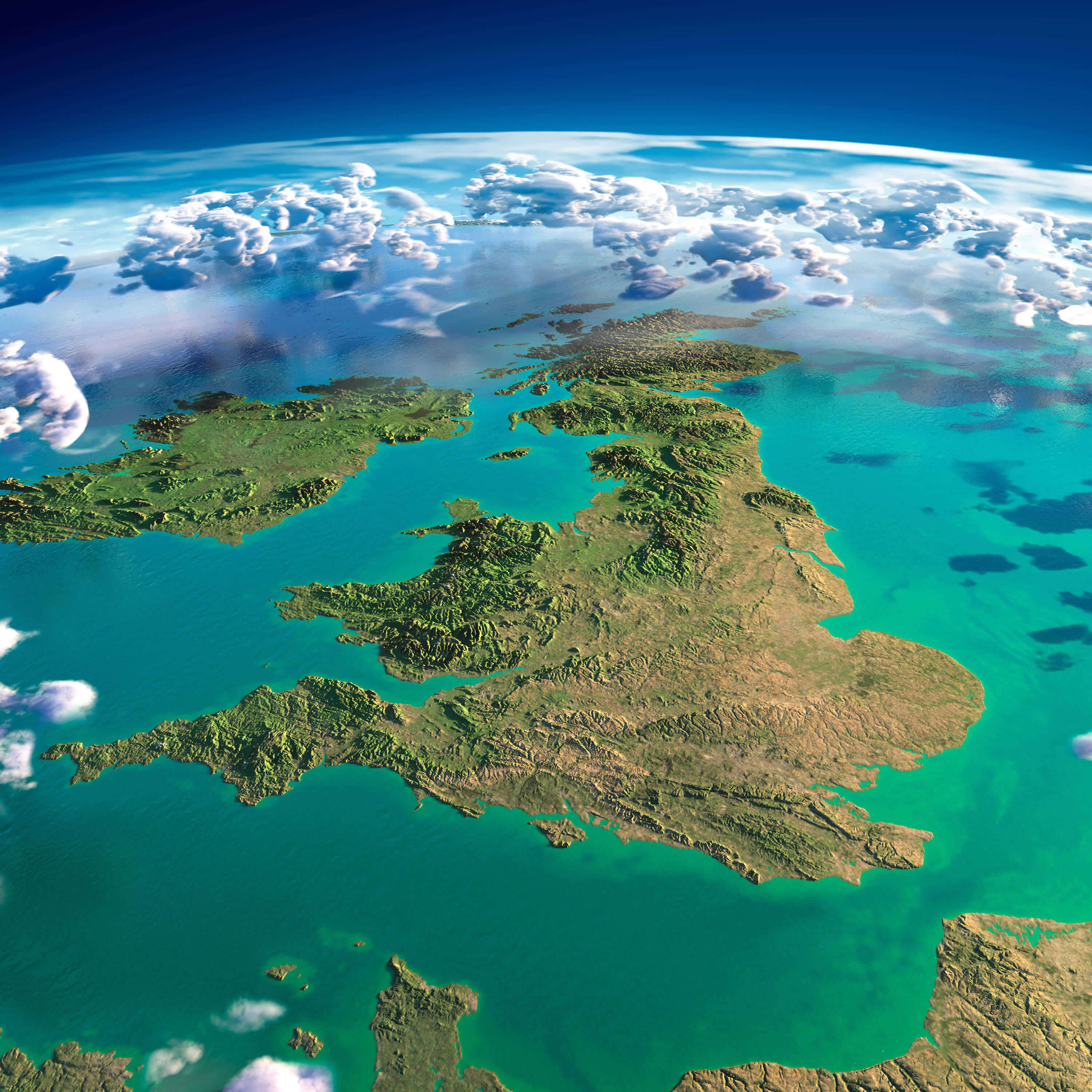
United Kingdom highly detailed fragments of the planet Earth with exaggerated relief, translucent ocean, illuminated by the morning sun. United Kingdom and Ireland.
United Kingdom Road Map

High detailed United Kingdom road map with labeling.
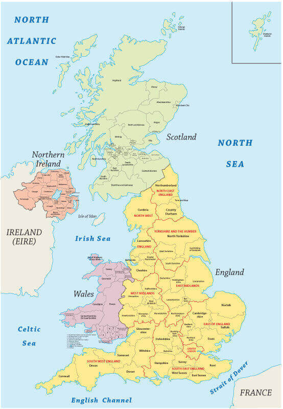
United Kingdom Administrative Map
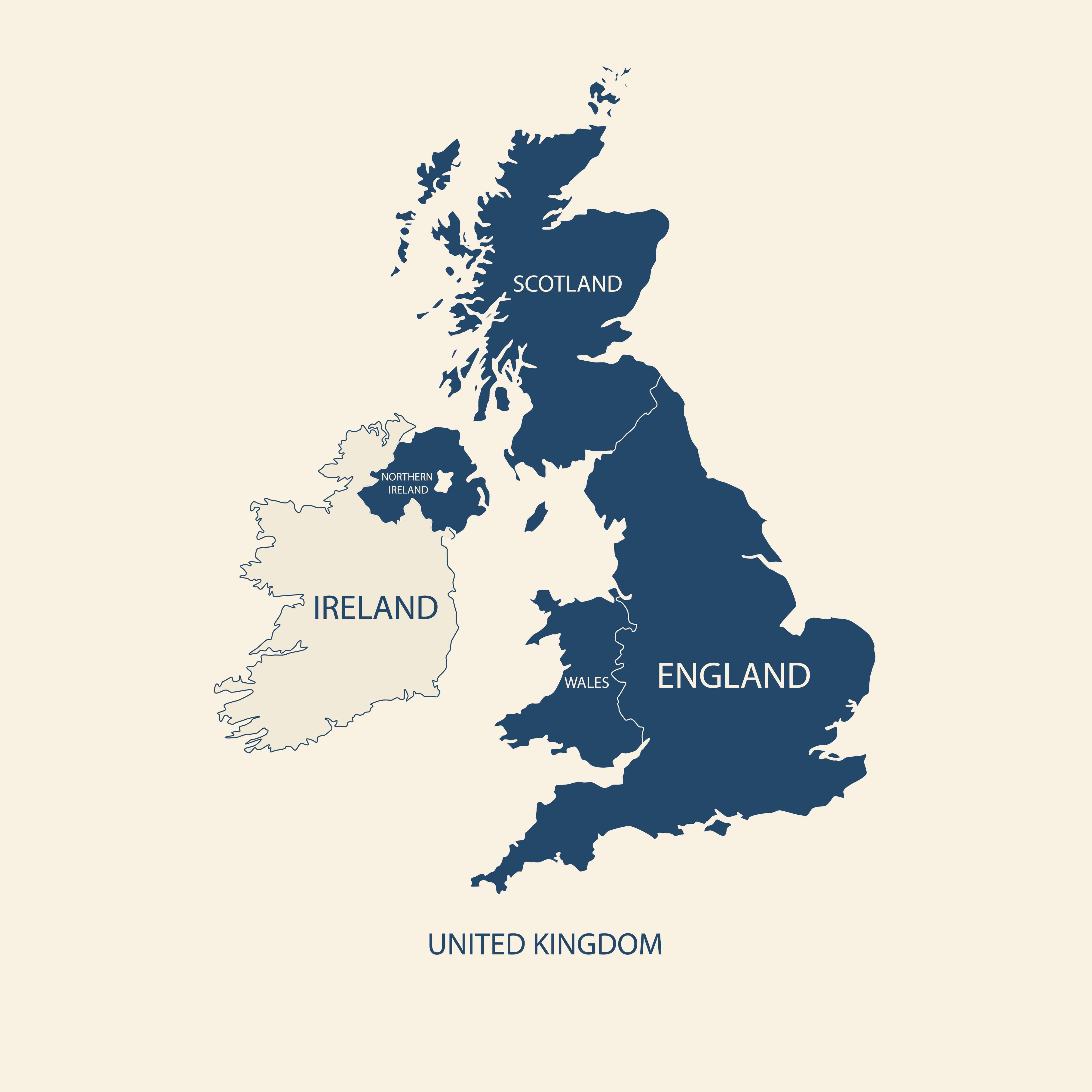
United Kingdom Administrative Map, UK, England, Wales, Scotland, Northern Ireland.
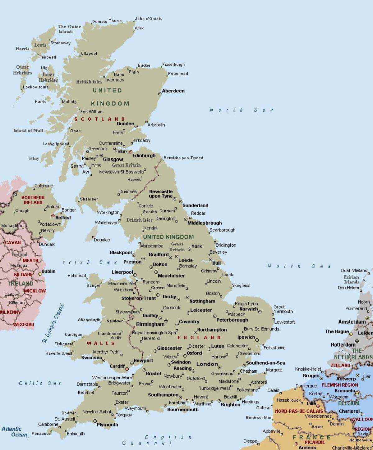
United Kingdom cities map with Scotland Northern Ireland
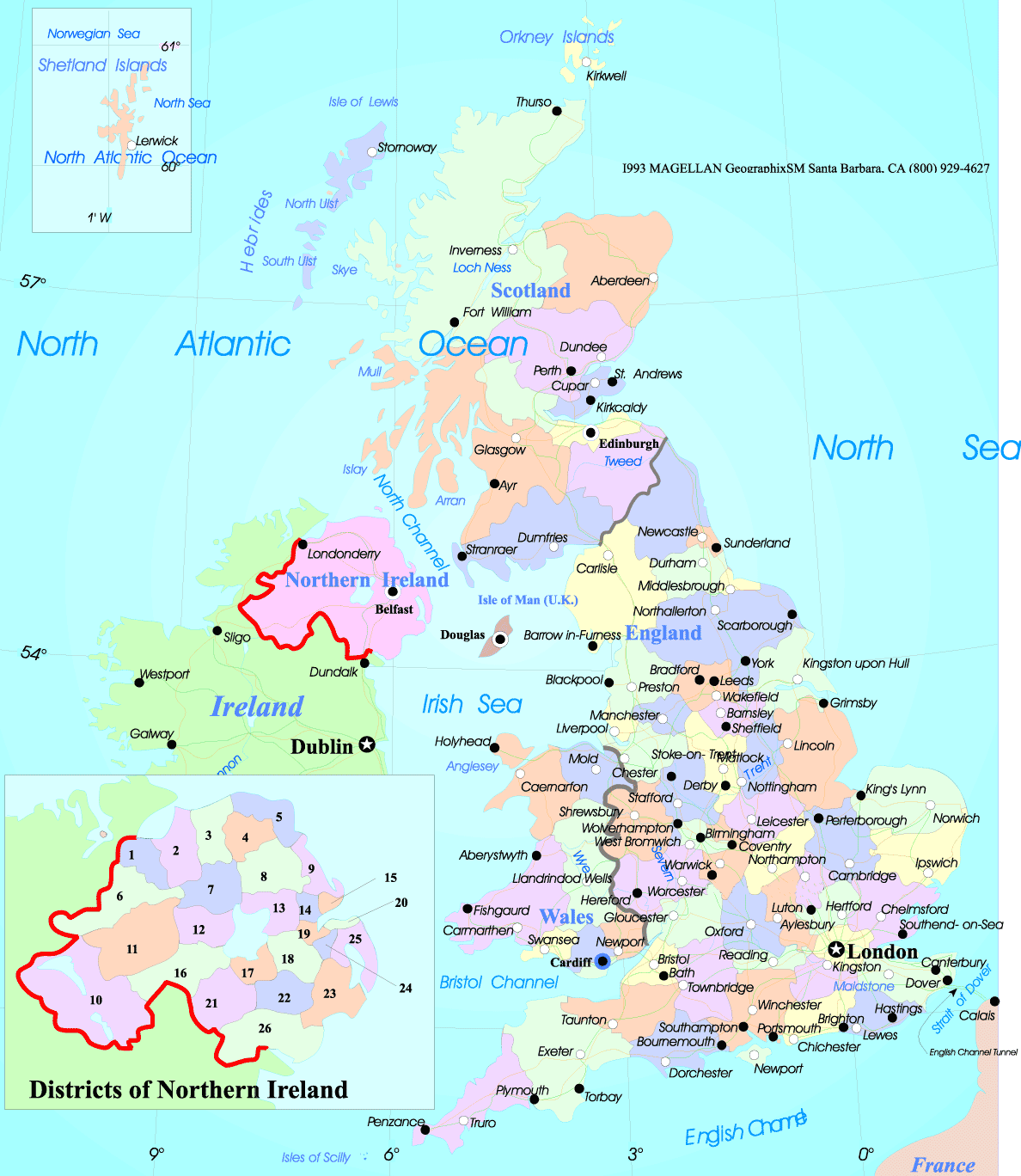
United Kingdom reginal major cities map
United Kingdom cities political map

United Kingdom provinces and cities map with Ireland
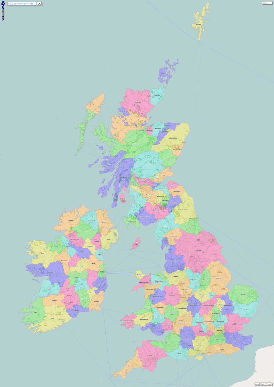
Map of United Kingdom with cities
Where is United Kingdom on the Europe Map?
Show Google map, satellite map, where is the country located.
Get directions by driving, walking, bicycling, public transportation and travel with street view.
Feel free to explore these pages as well:
- United Kingdom High-resolution Map ↗️
- UK Cities Map ↗️
- United Kingdom Cities Map ↗️
- A Collection of United Kingdom Maps ↗️
- Map of United Kingdom ↗️
- United Kingdom Map ↗️
- UK High-resolution Map ↗️
- UK Time Zone Map ↗️
- England High-resolution Map ↗️
- England Map ↗️
- England Cities Map ↗️
- Discovering Cardiff: A Gem in the Heart of Wales ↗️
- Birmingham Unveiled: The Heart of England’s Hidden Gems ↗️
- Discovering Belfast: The Northern Gem of the UK ↗️
- Bradford, United Kingdom: A Vibrant Tapestry of Culture and History ↗️
- Scotland Map ↗️
- Wales Map ↗️
- Isle of Man Map ↗️
- United States Map ↗️
- France Map ↗️
- Canada Map ↗️
- Advertisement -
