- Advertisement -
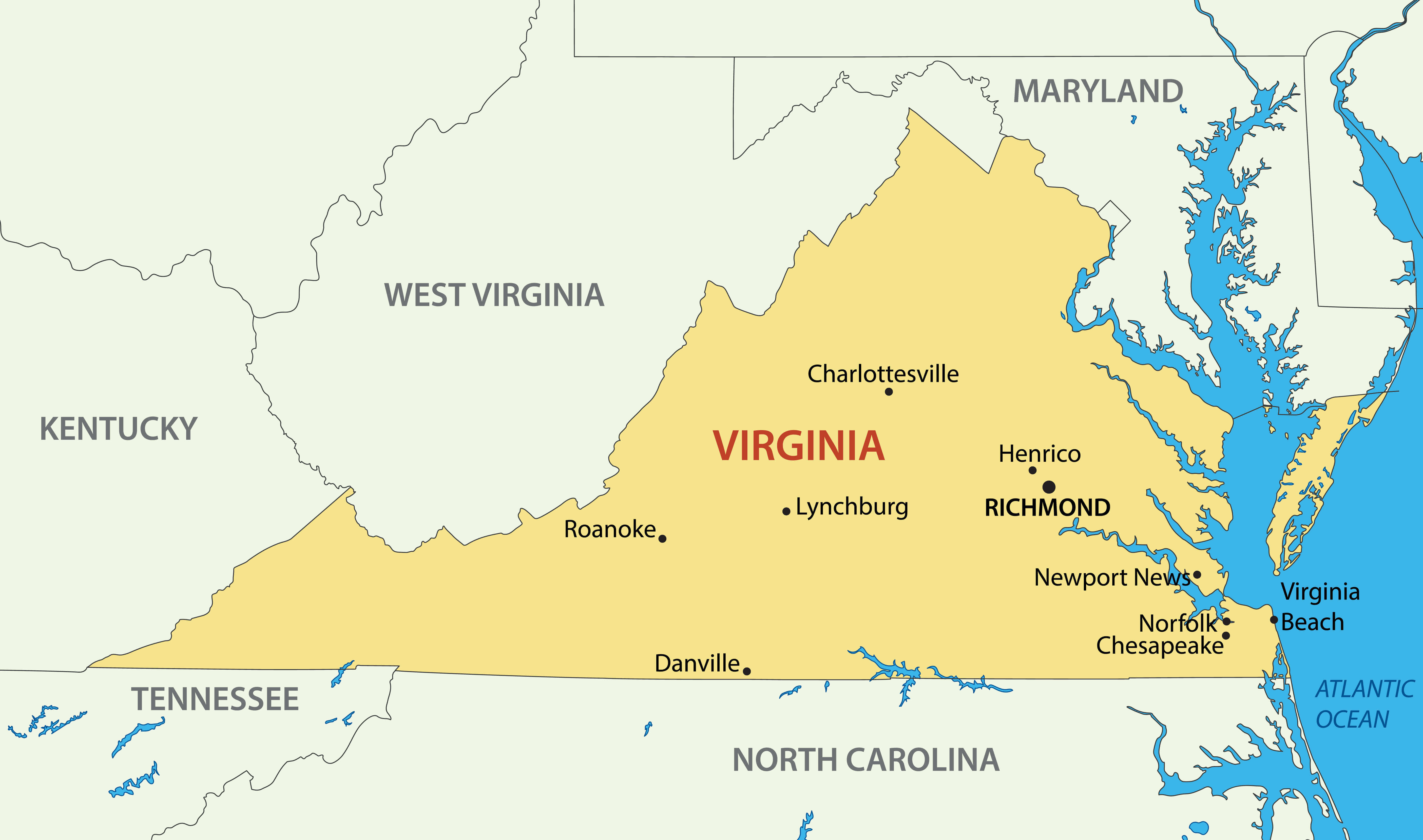
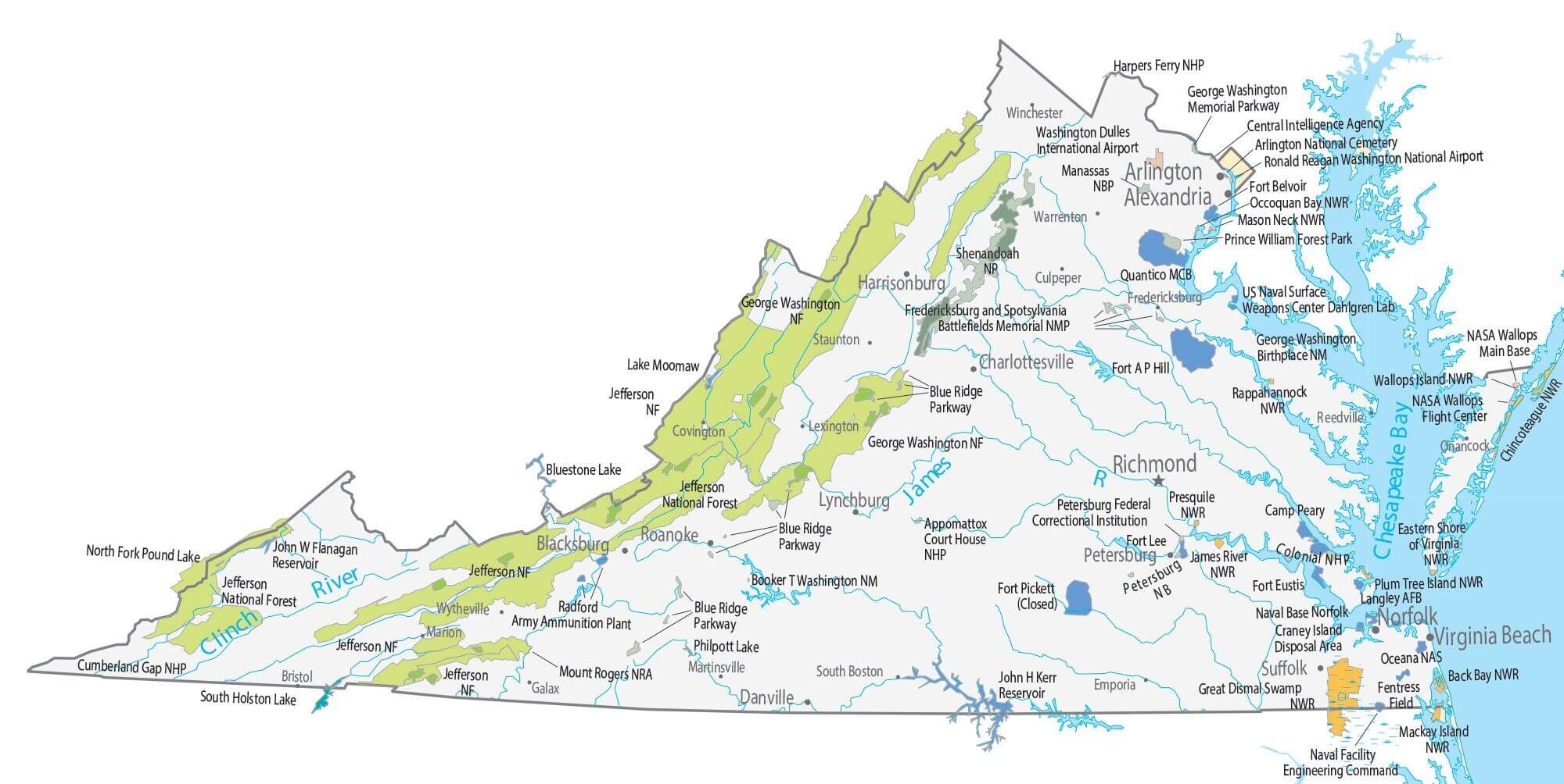
Explore the Virginia Cities Map to discover the state’s major cities, roads, and landmarks across the U.S. This detailed map of Virginia includes highways, counties, and population centers such as Richmond, Virginia Beach, and Norfolk. Whether you need a road map of Virginia, a physical map, or a county map with cities, this guide highlights key locations, lakes, and rivers. Ideal for travelers and researchers, it offers a complete view of Virginia’s geography and transportation routes.
Virginia Cities Map – Major Towns and Roads in the US State
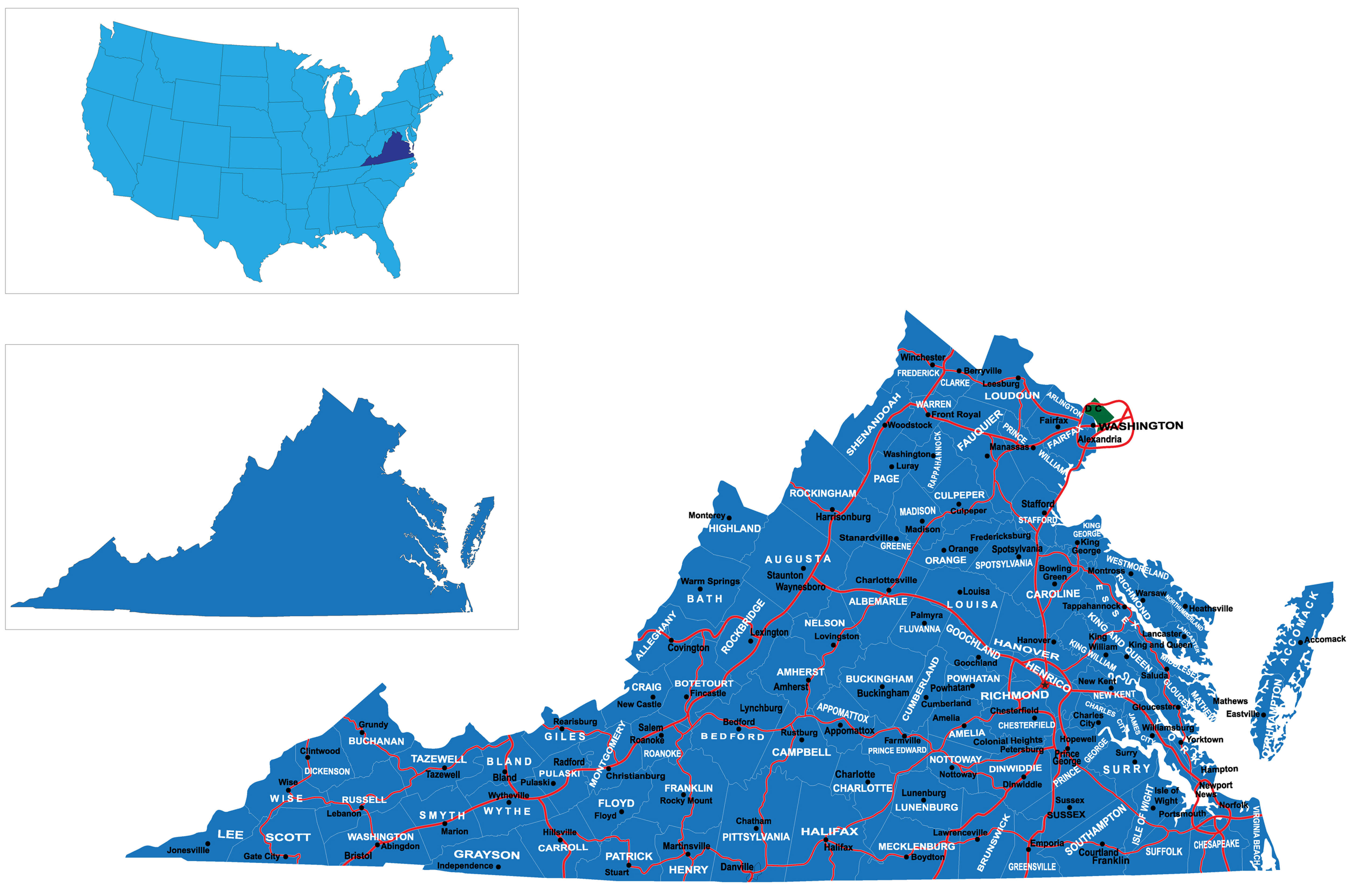
Detailed Virginia map with cities
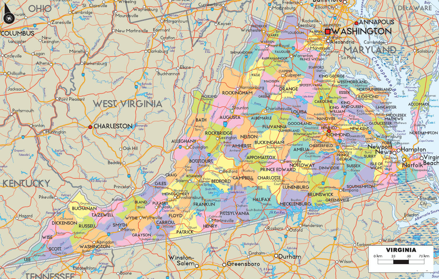
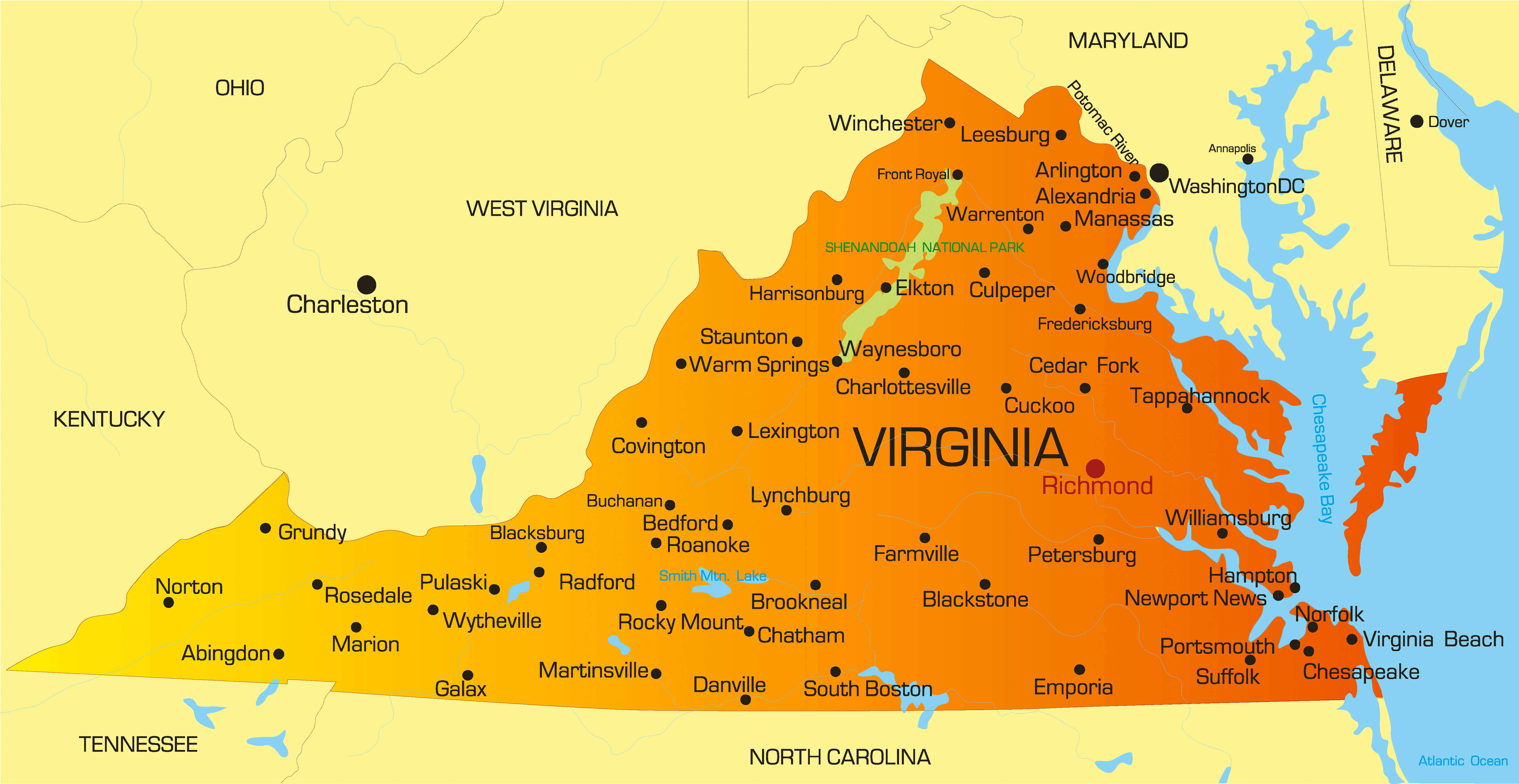
Virginia populated cities map
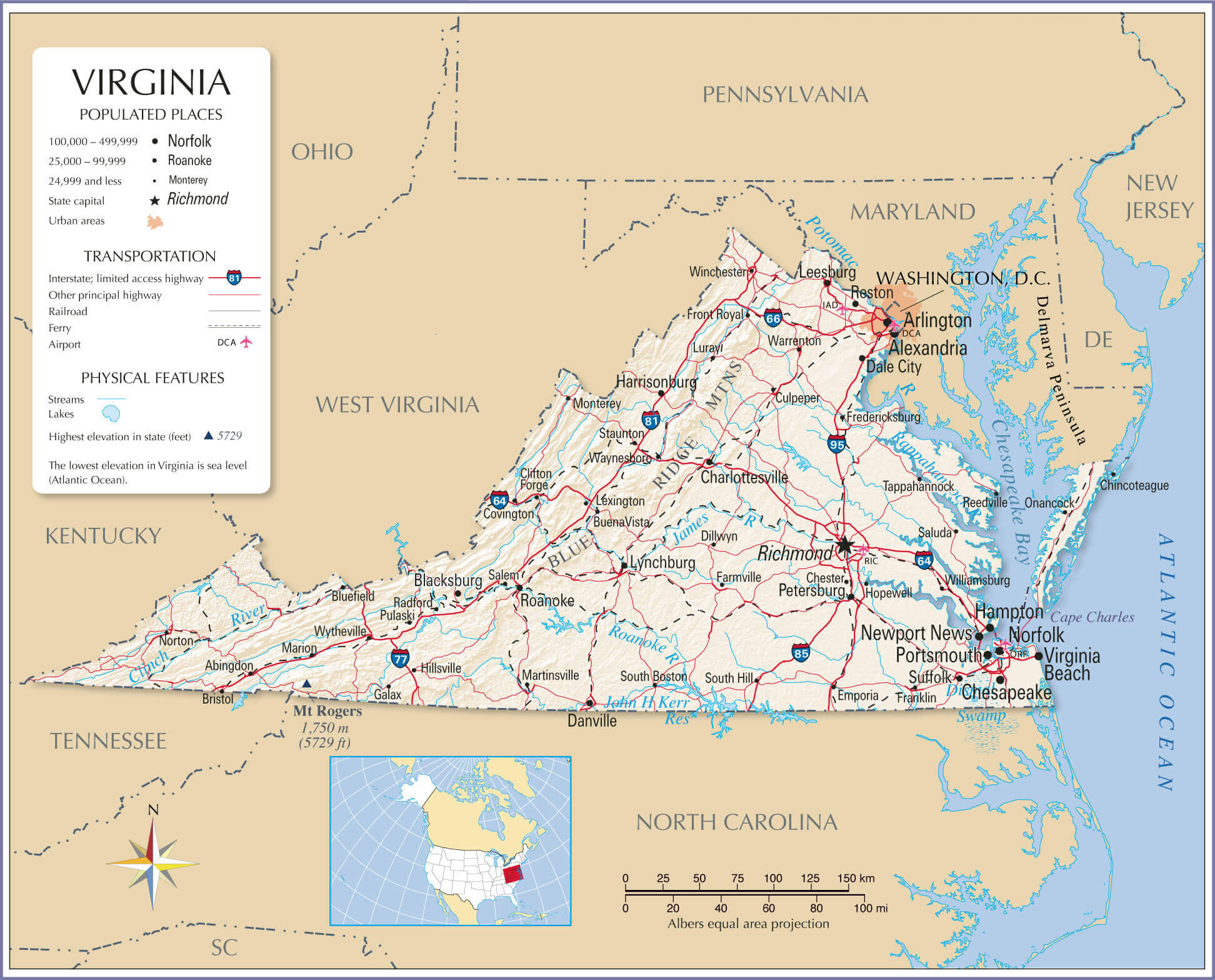
Virginia cities map with state capital
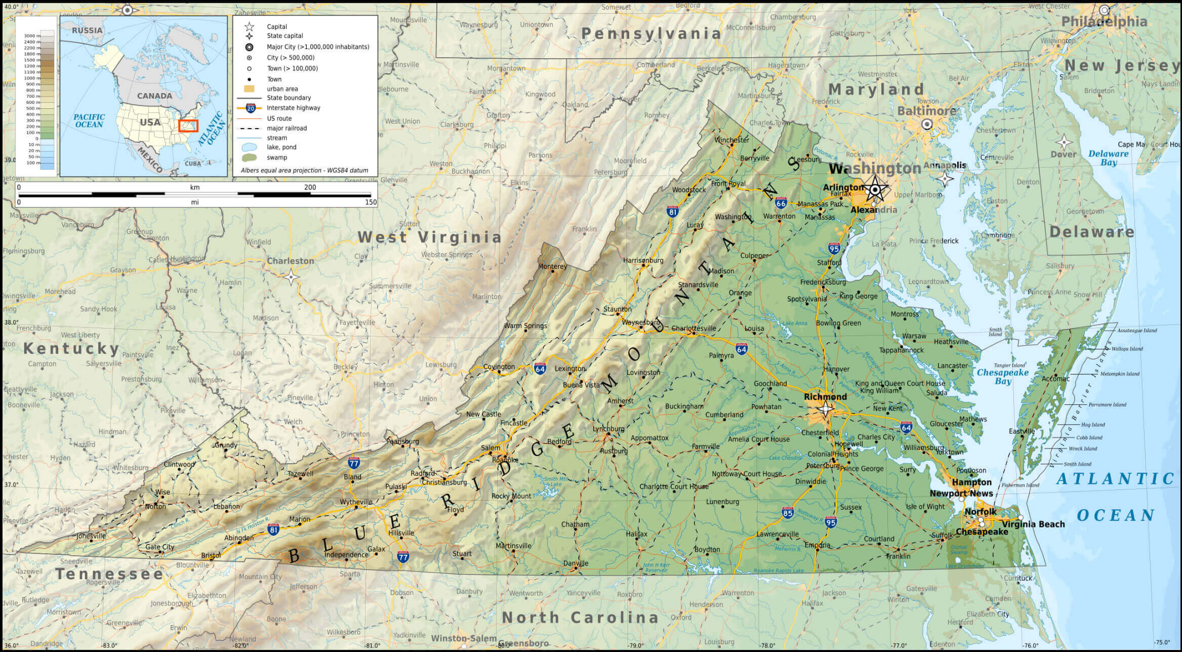
Cities map of Virginia
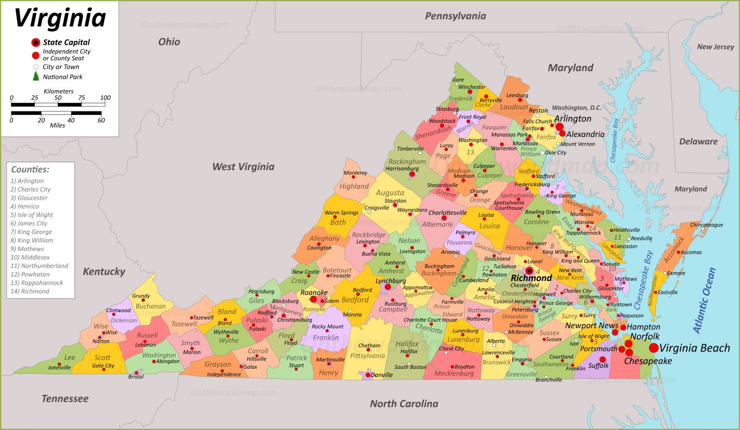
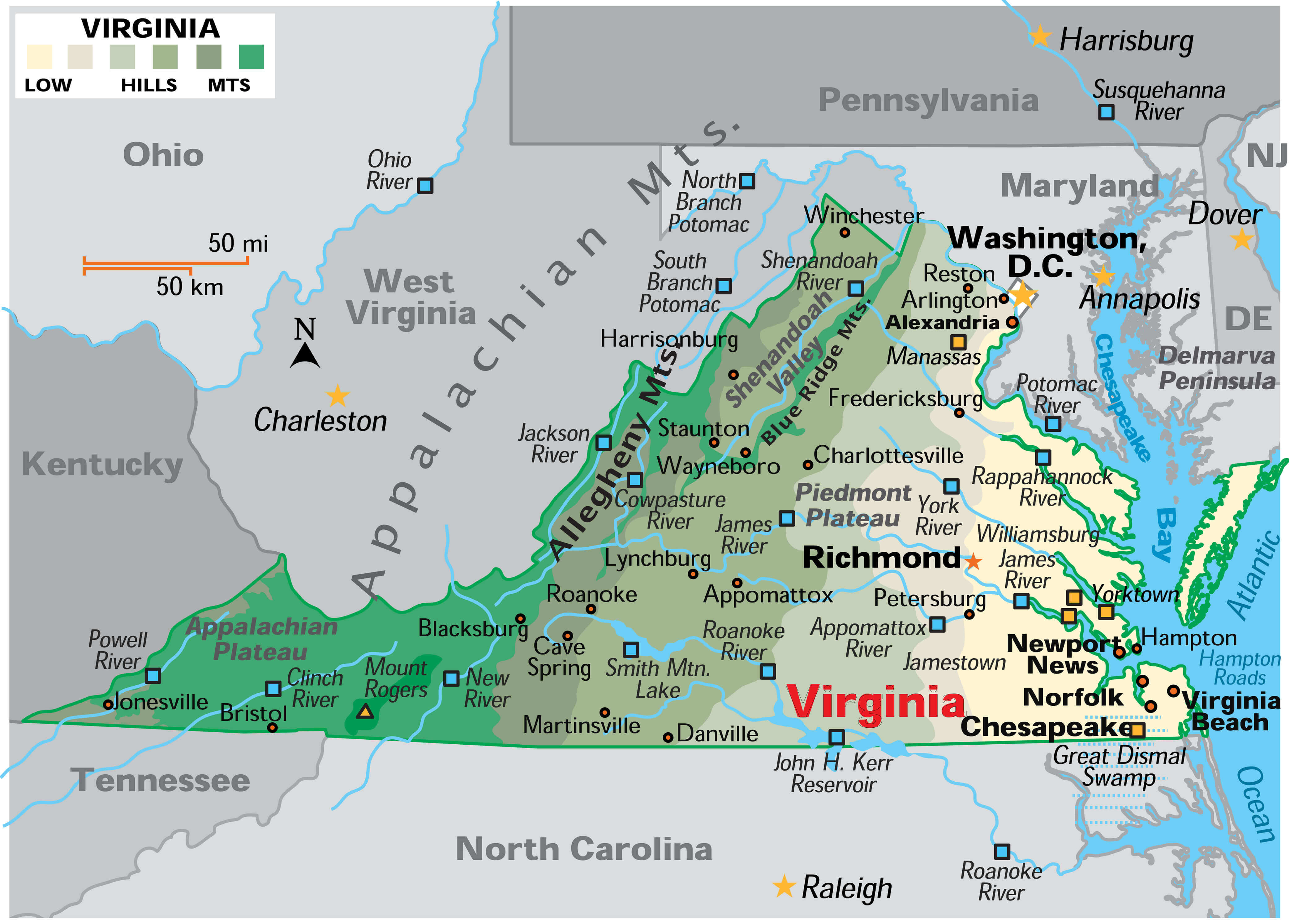
Cities physical map of Virginia
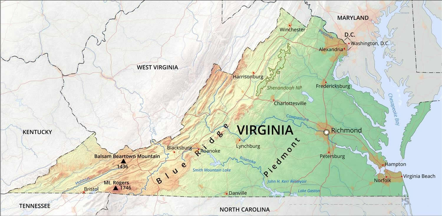
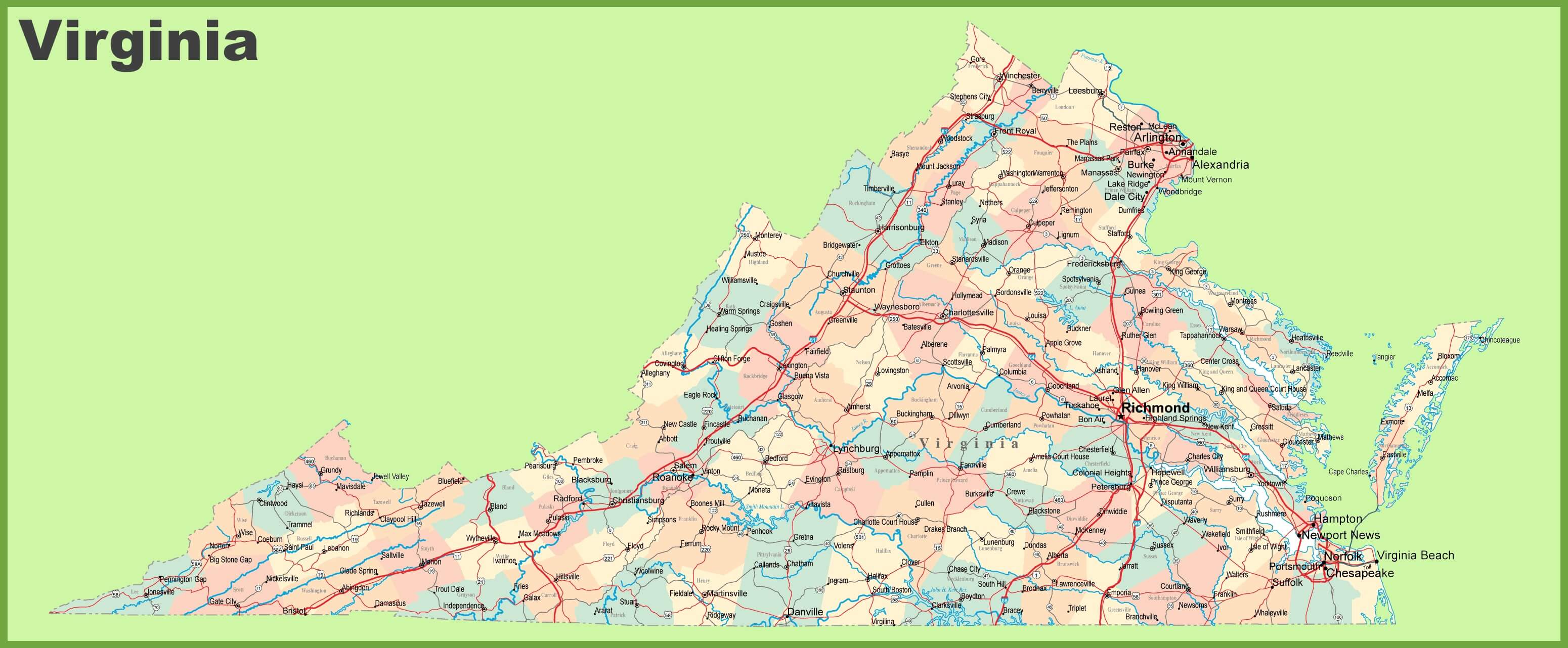
Large detailed roads and highways map of Virginia all cities
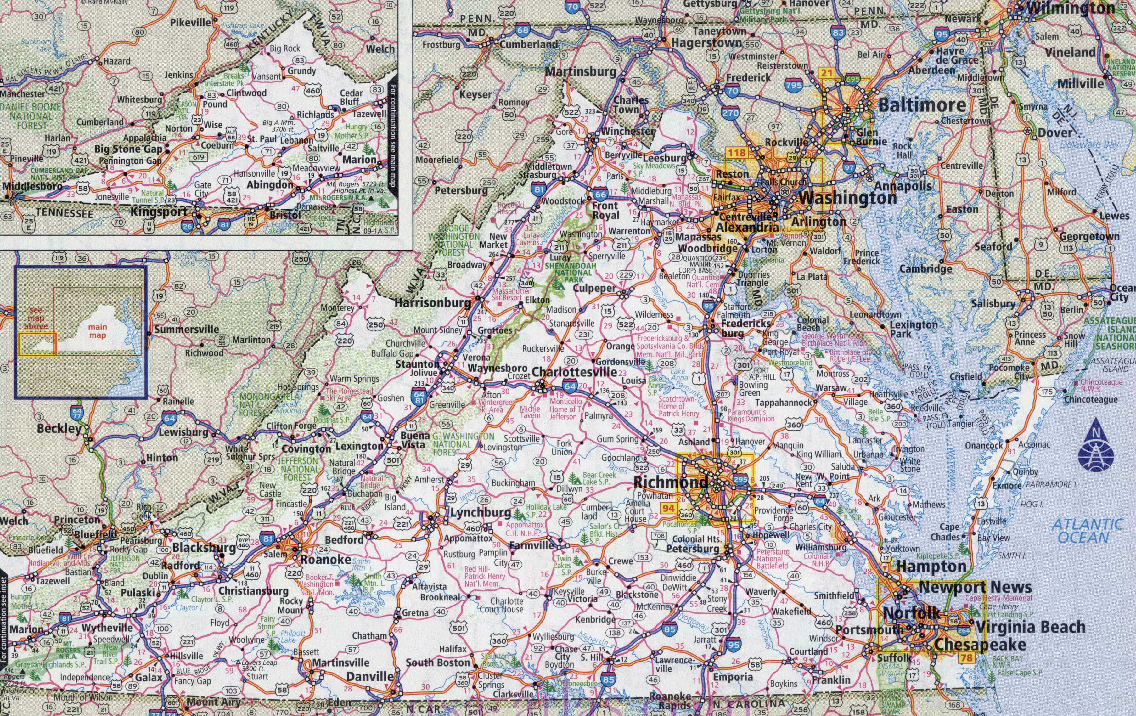
Map of Virginia with cities and roads
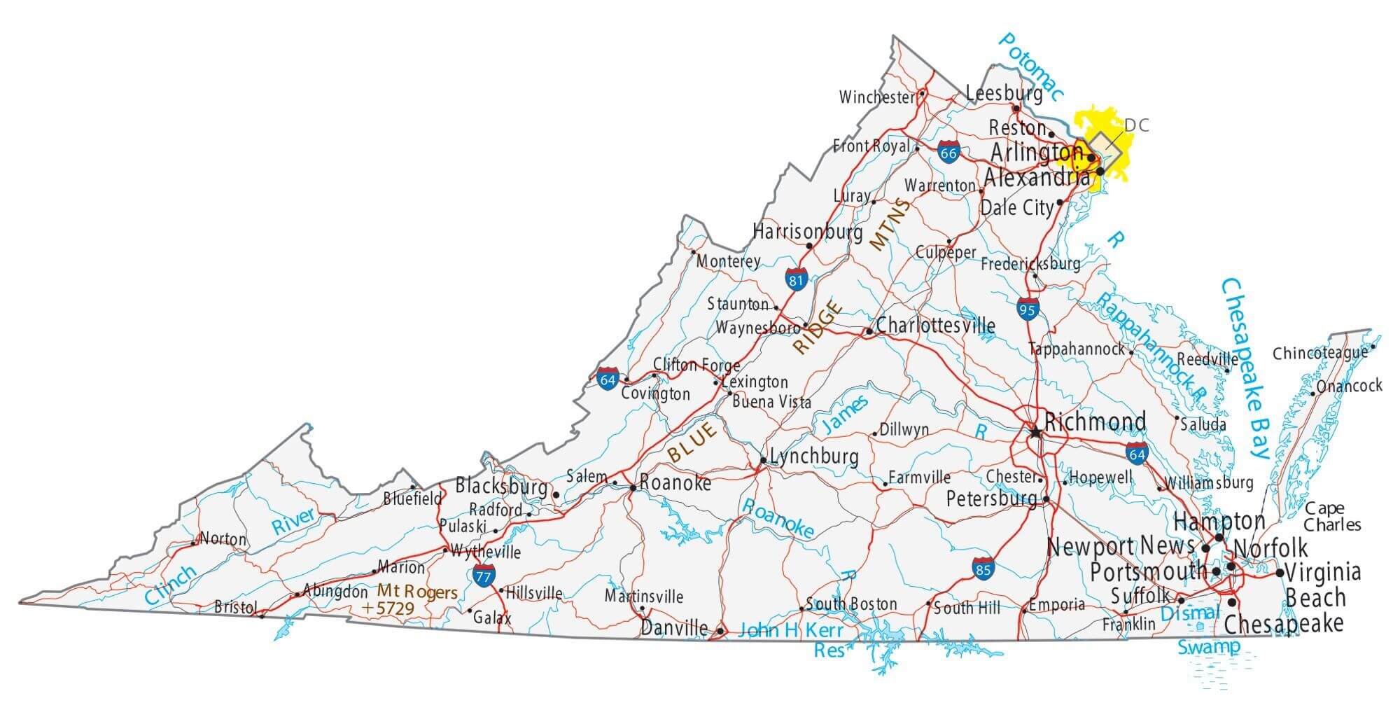
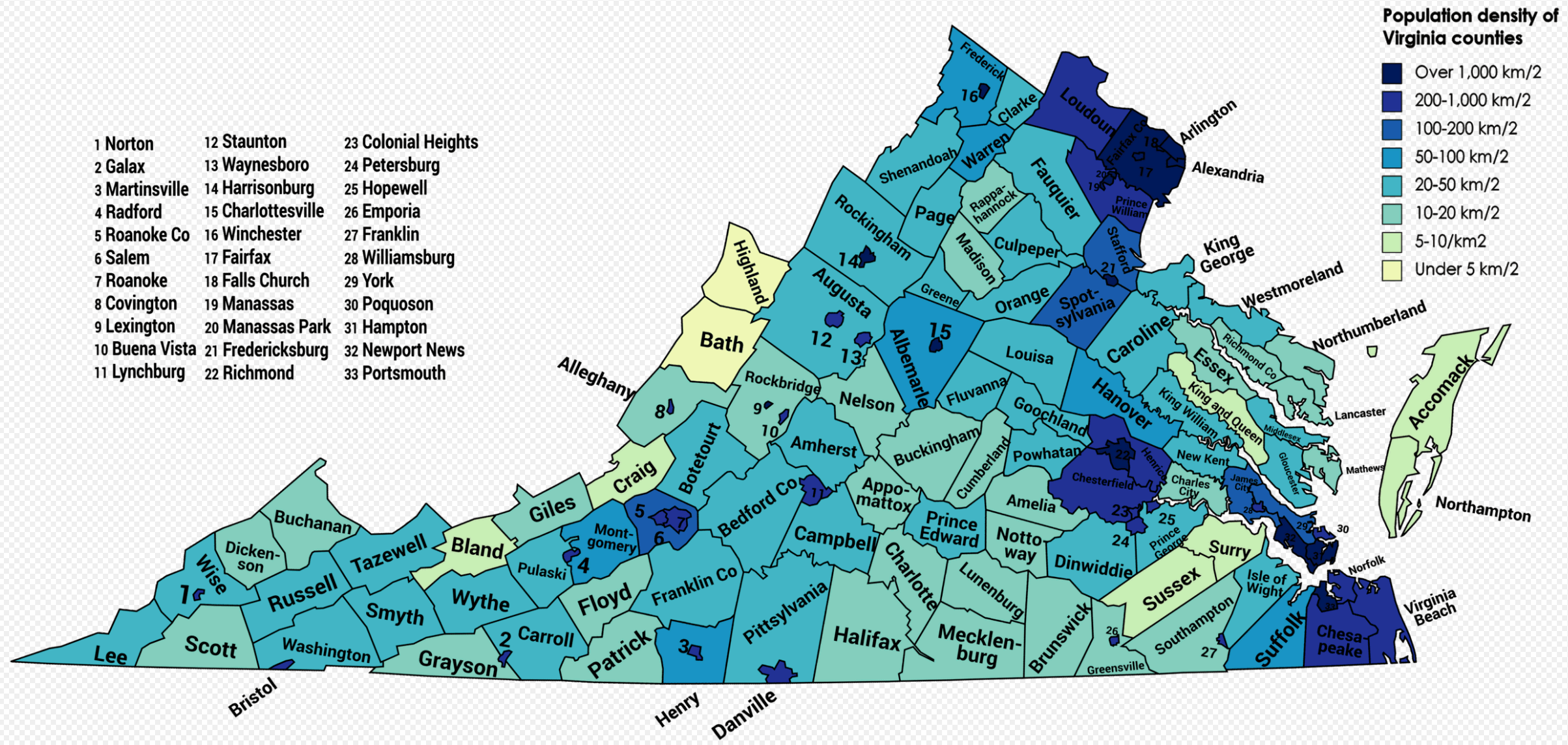
Population density of Virginia counties
Road map of Virginia with cities
Virginia cities map
Virginia cities physical map
Virginia cities road map
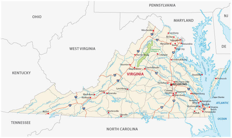
Virginia counties map
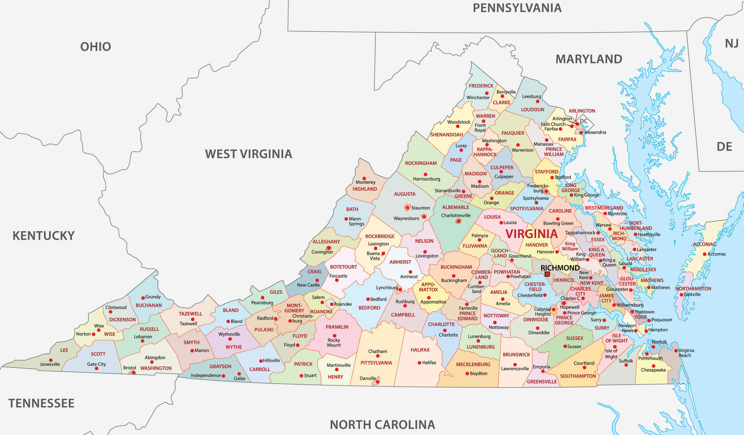
Virginia counties state map

Virginia county map with cities
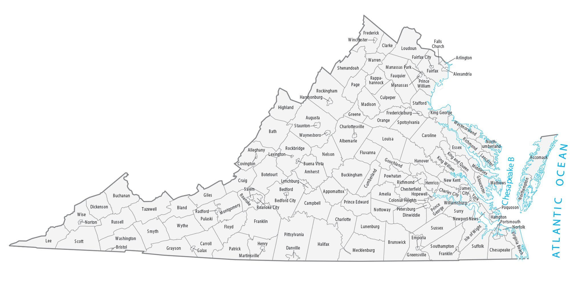
Virginia lakes rivers map with cities
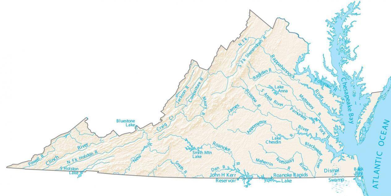
Virginia major cities map
Virginia state map places and landmarks
Virginia state map US

Where is Virginia on the United States Map?
Show Google map, satellite map, where is the country located.
Get directions by driving, walking, bicycling, public transportation and travel with street view.
Feel free to explore these pages as well:
- Virginia Map ↗️
- Map of Virginia ↗️
- Virginia Photos ↗️
- About Virginia ↗️
- US Cities Map ↗️
- United States Cities Map ↗️
- California Cities Map ↗️
- Texas Cities Map ↗️
- New York Cities Map ↗️
- Florida Cities Map ↗️
- Pennsylvania Cities Map ↗️
- Illinois Cities Map ↗️
- Ohio Cities Map ↗️
- Georgia Cities Map ↗️
- North Carolina Cities Map ↗️
- Michigan Cities Map ↗️
- New Jersey Cities Map ↗️
- Washington Cities Map ↗️
- Arizona Cities Map ↗️
- Tennessee Cities Map ↗️
- Massachusetts Cities Map ↗️
- Indiana Cities Map ↗️
- Maryland Cities Map ↗️
- Missouri Cities Map ↗️
- Wisconsin Cities Map ↗️
- United States Map ↗️
- Map of United States ↗️
- North America Map ↗️
- Advertisement -
