- Advertisement -
Dubai Busiest Highway
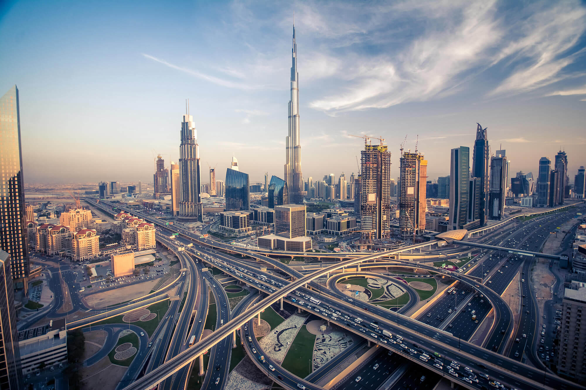 Dubai skyline with beautiful city close to it’s busiest highway on traffic.
Dubai skyline with beautiful city
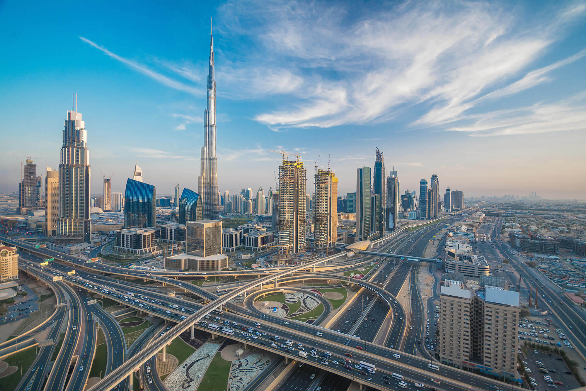
Dubai skyline with beautiful city close to it’s busiest highway on traffic.
Dubai Downtown cityscape
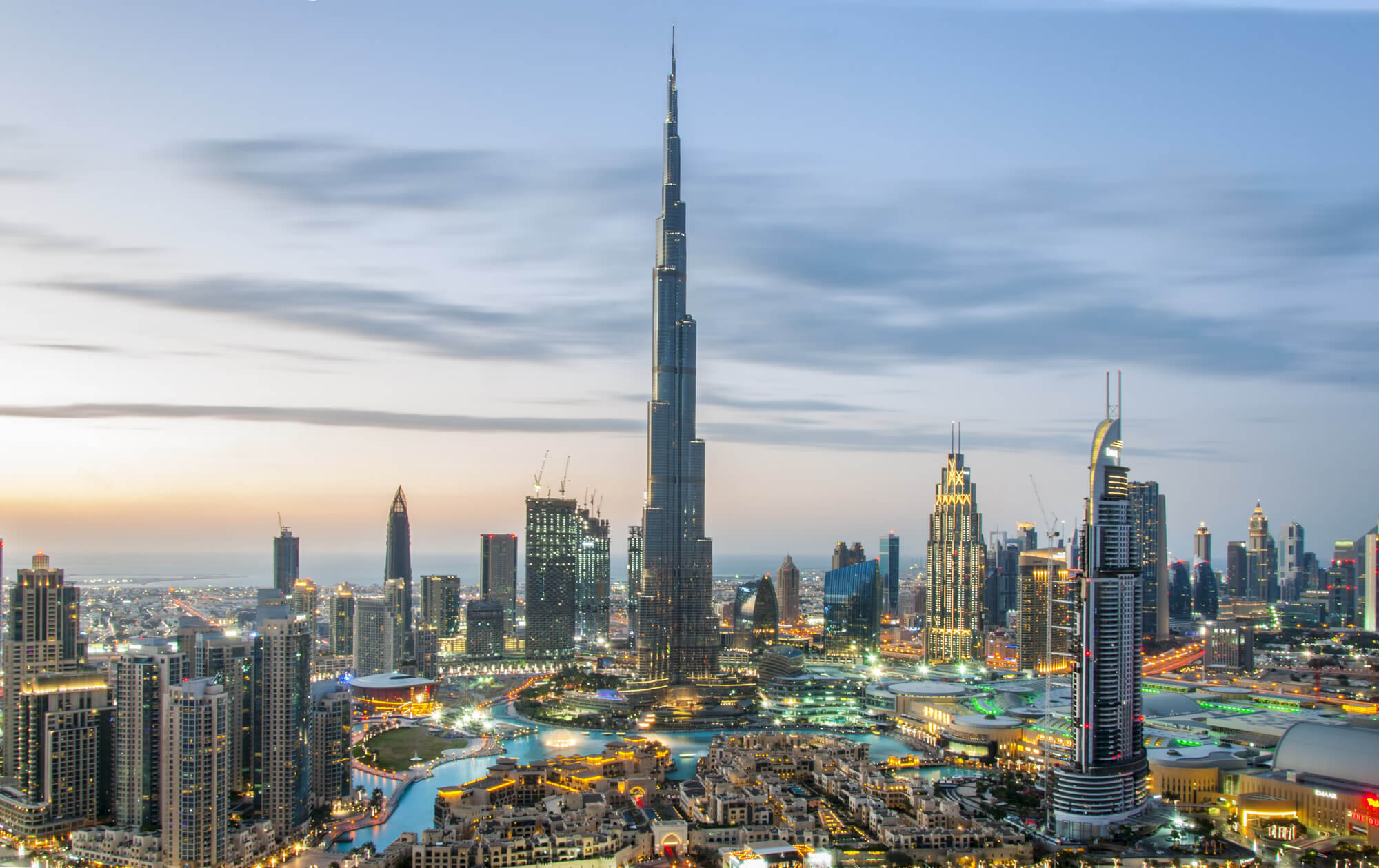
DUBAI, UAE – February 18: Burj Khalifa the tallest building in the world. Dubai Downtown cityscape. Dubai evening skyline, busy roads, sunset on February 18, 2017 in Dubai.
Dubai Downtown with Burj Khalifa
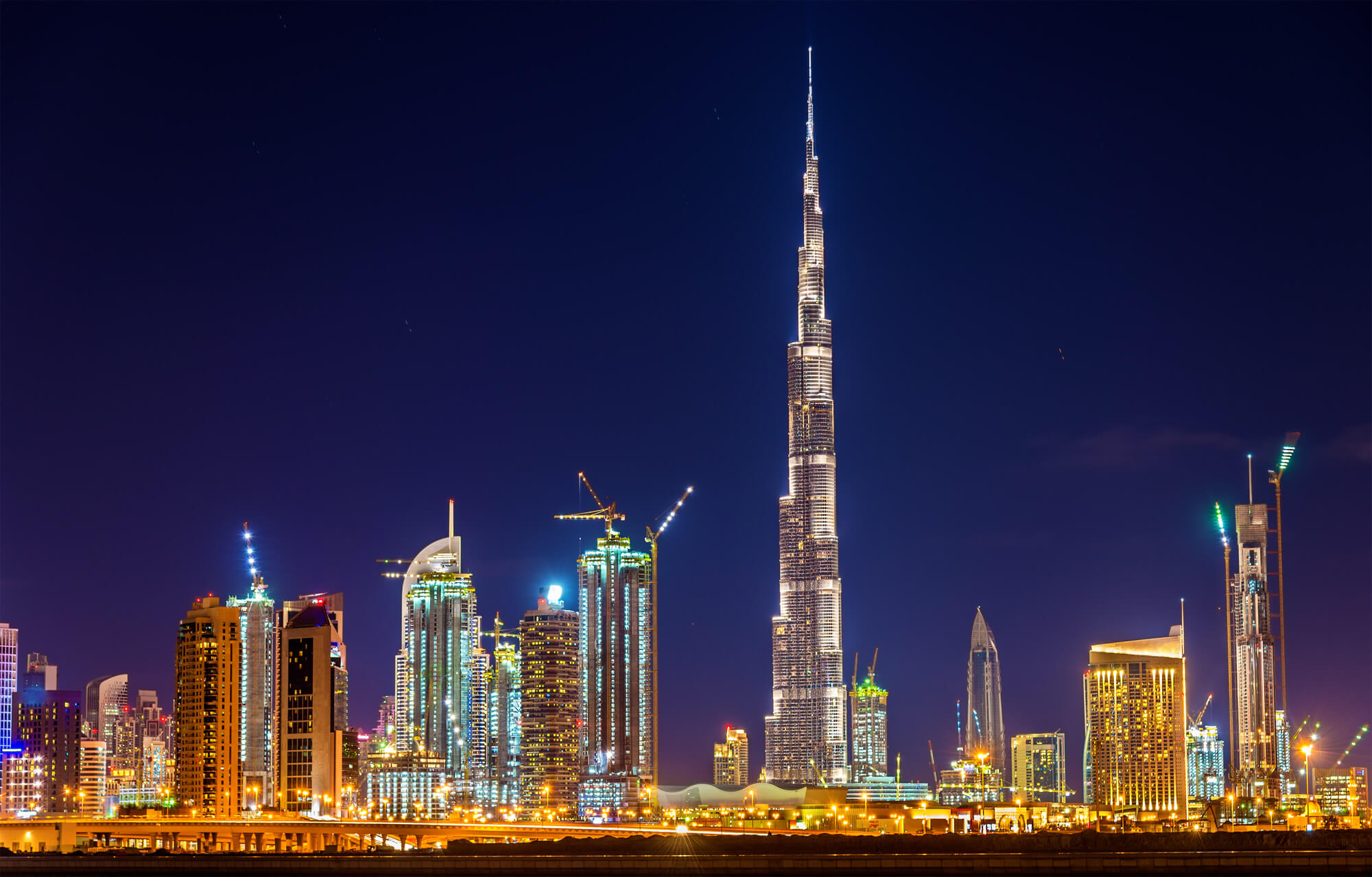
Night view of Dubai Downtown with Burj Khalifa.
American University of Sharjah, UAE
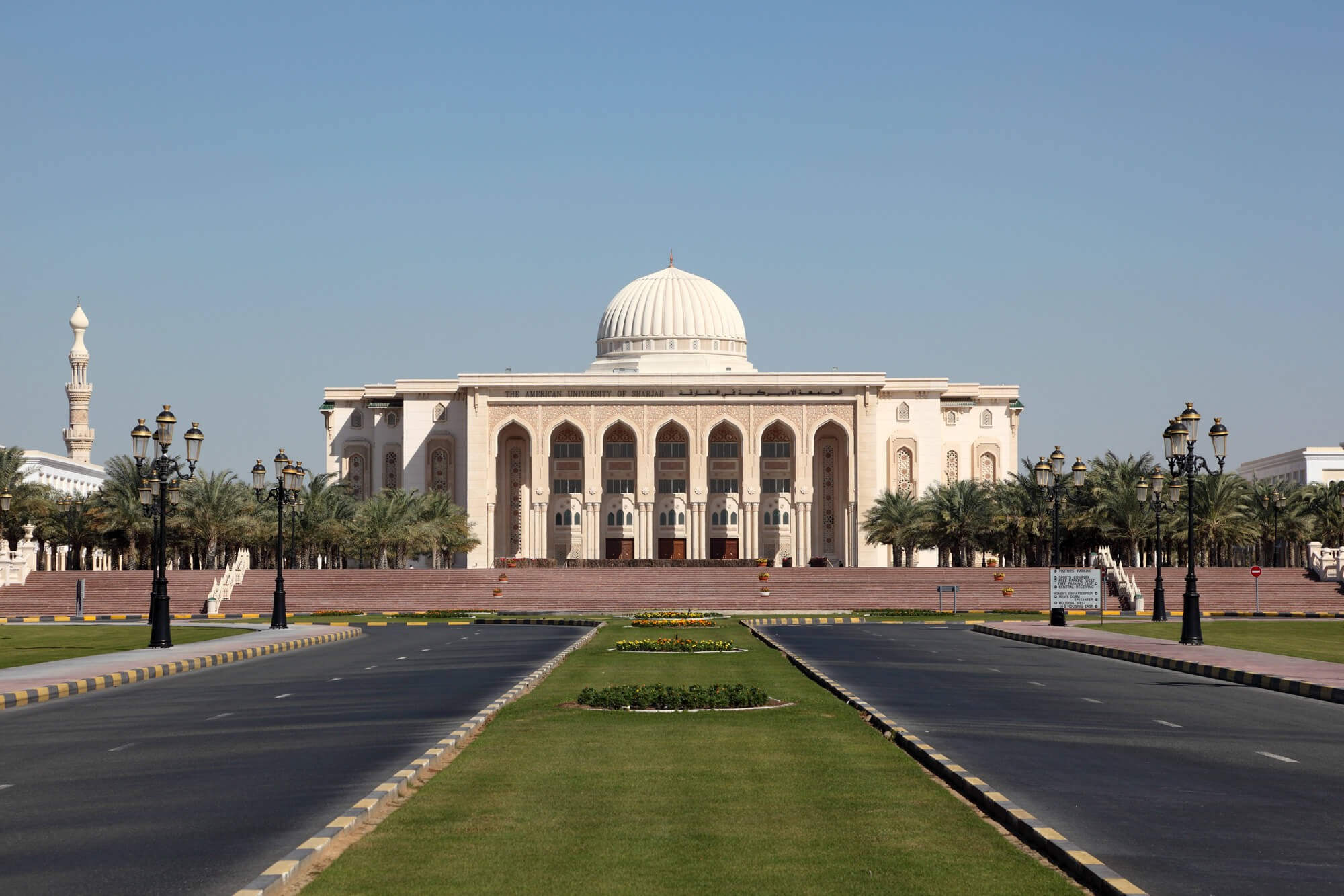
The American University of Sharjah, United Arab Emirates.
Dubai Skyline, UAE
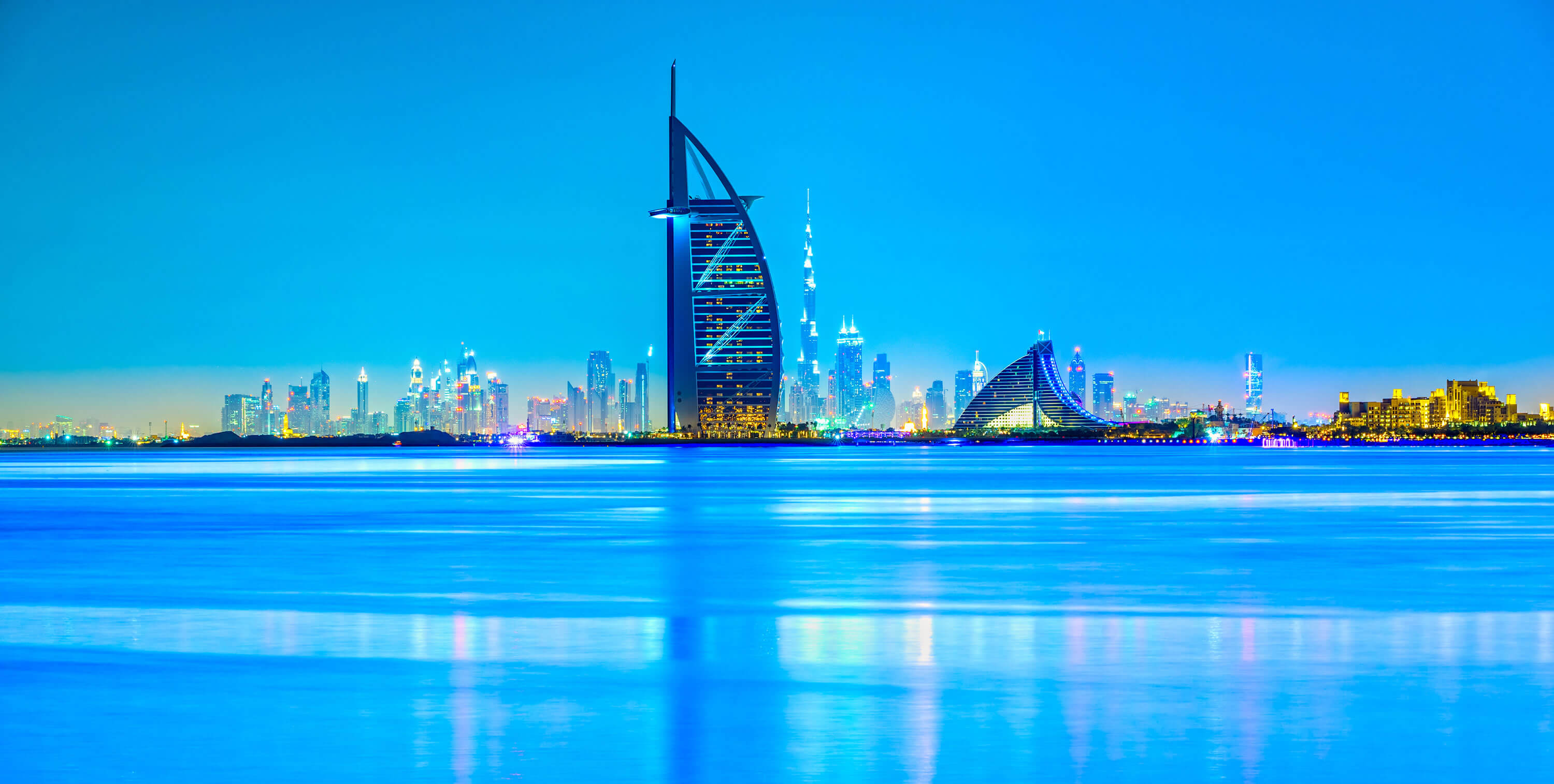
Dubai skyline at dusk, UAE
Dubai Map Satellite View
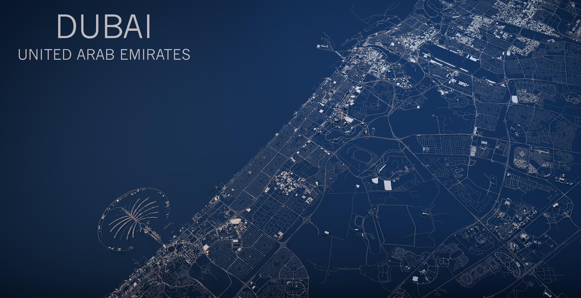
Dubai map, satellite view, section 3d, United Arab Emirates.
Dubai Skyline, Burj Khalifa
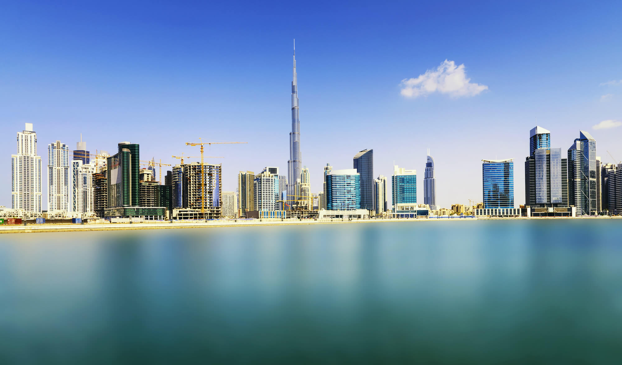
Dubai skyline, Burj Khalifa, United Arab Emirates
United Arab Emirates Maps and Photos
- Please Click for more United Arab Emirates Map
- Please Click for more Info About United Arab Emirates
- Please Click for more United Arab Emirates Photos
- Please Click for more United Arab Emirates Photos 1
Where is United Arab Emirates on the Asia Map?
Show Google map, satellite map, where is the country located.
Get directions by driving, walking, bicycling, public transportation and travel with street view.
- Advertisement -
