- Advertisement -
A Collection of Michigan Photos
Northern Lights over Lake Michigan
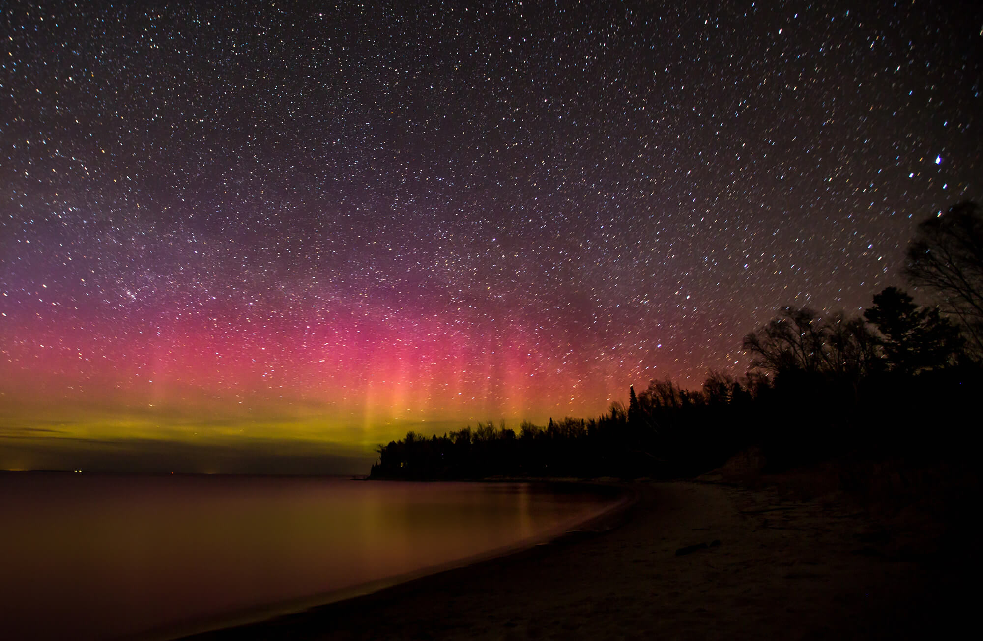
The Northern Lights over Lake Michigan in northern Michigan
University of Michigan
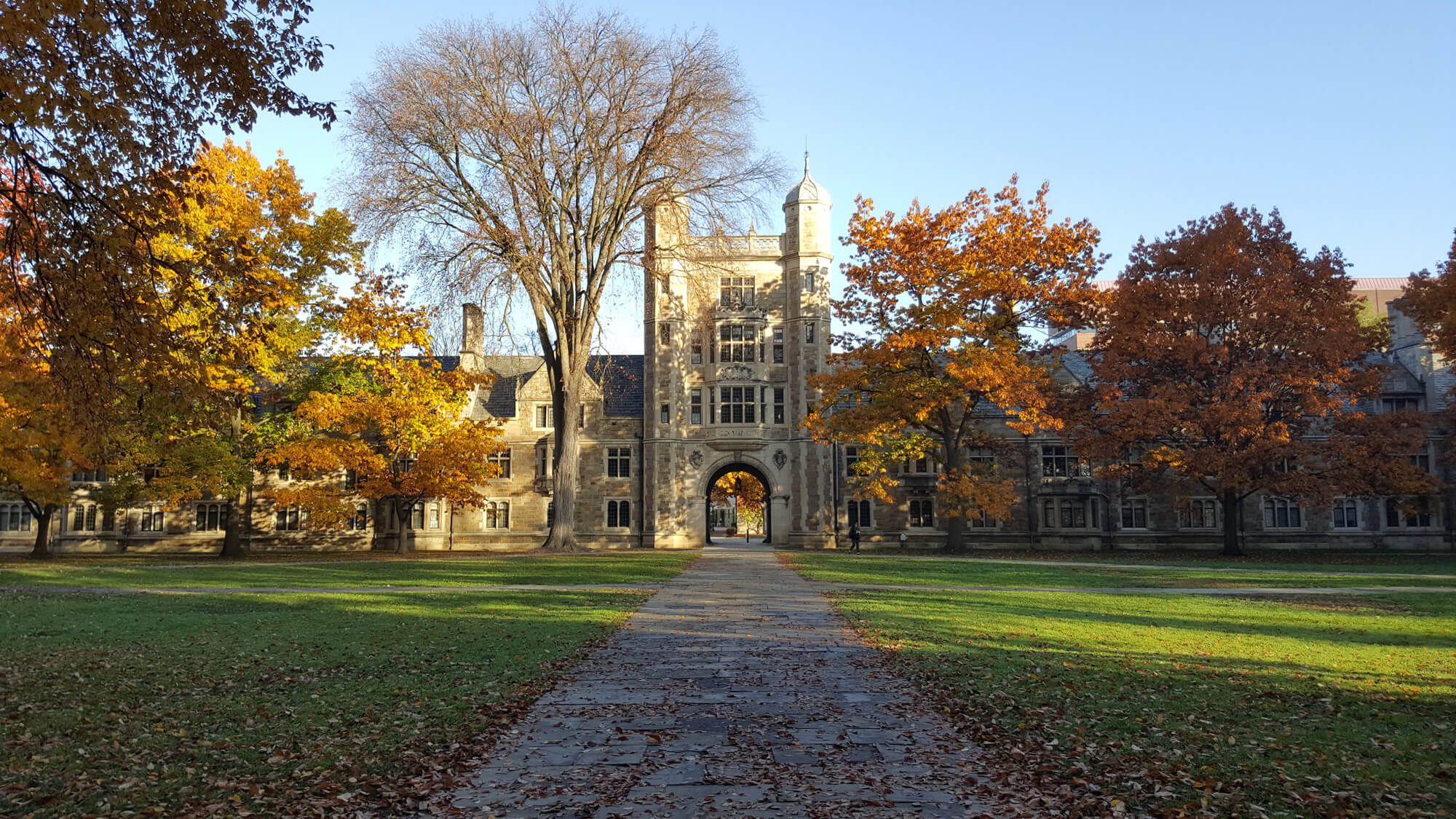
University of Michigan, USA.
Rising moon over Detroit
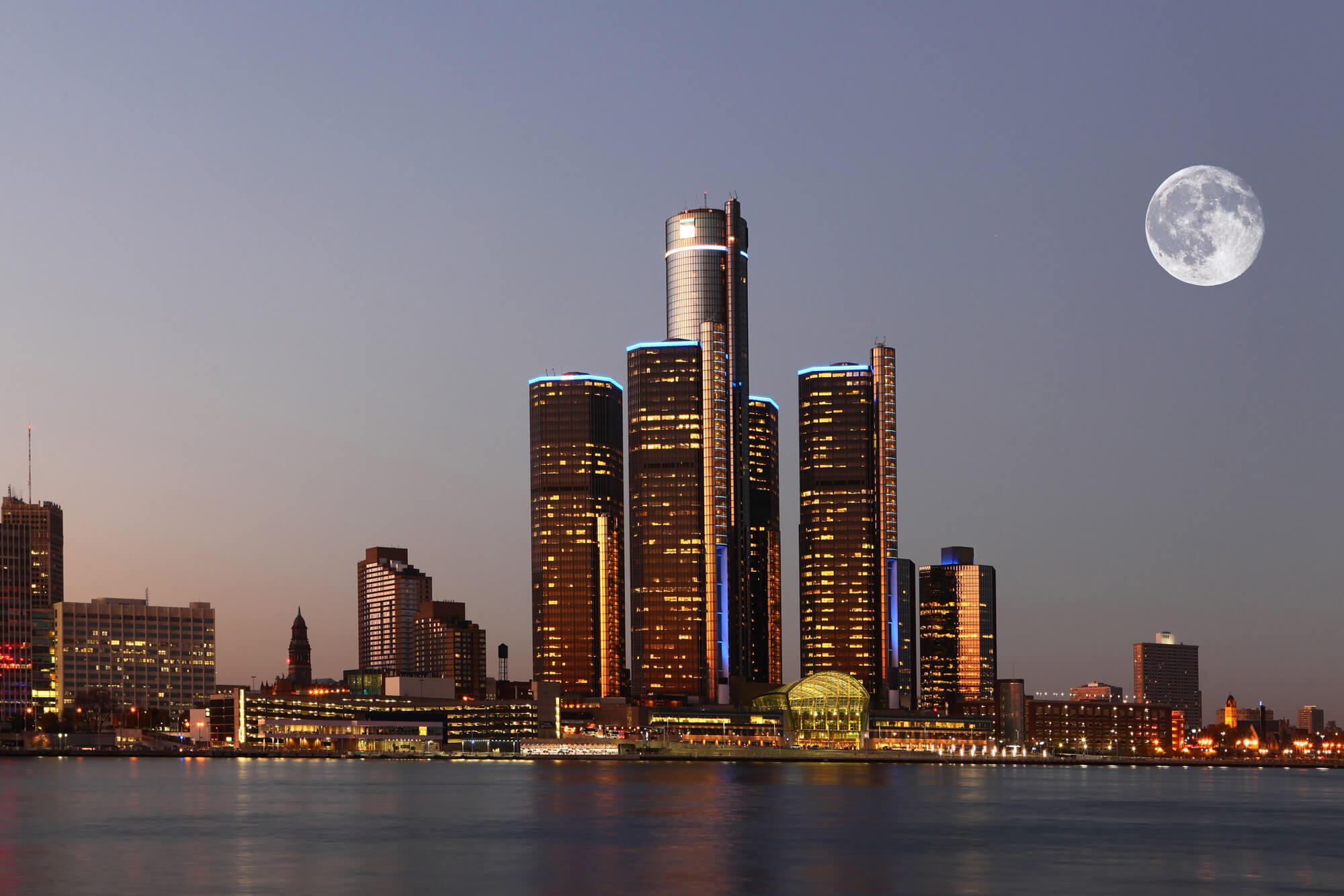
A Rising moon over Detroit, Michigan.
Michigan State Capitol Building
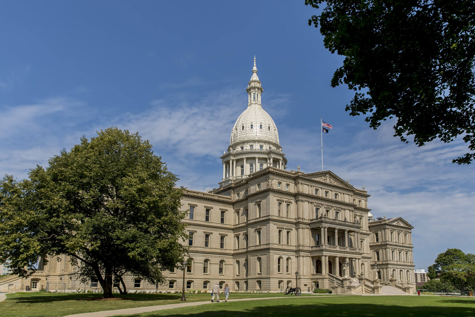
The Michigan State Capitol is the building that houses the legislative branch of the government of the U.S. state of Michigan.
Michigan Mackinaw Bridge
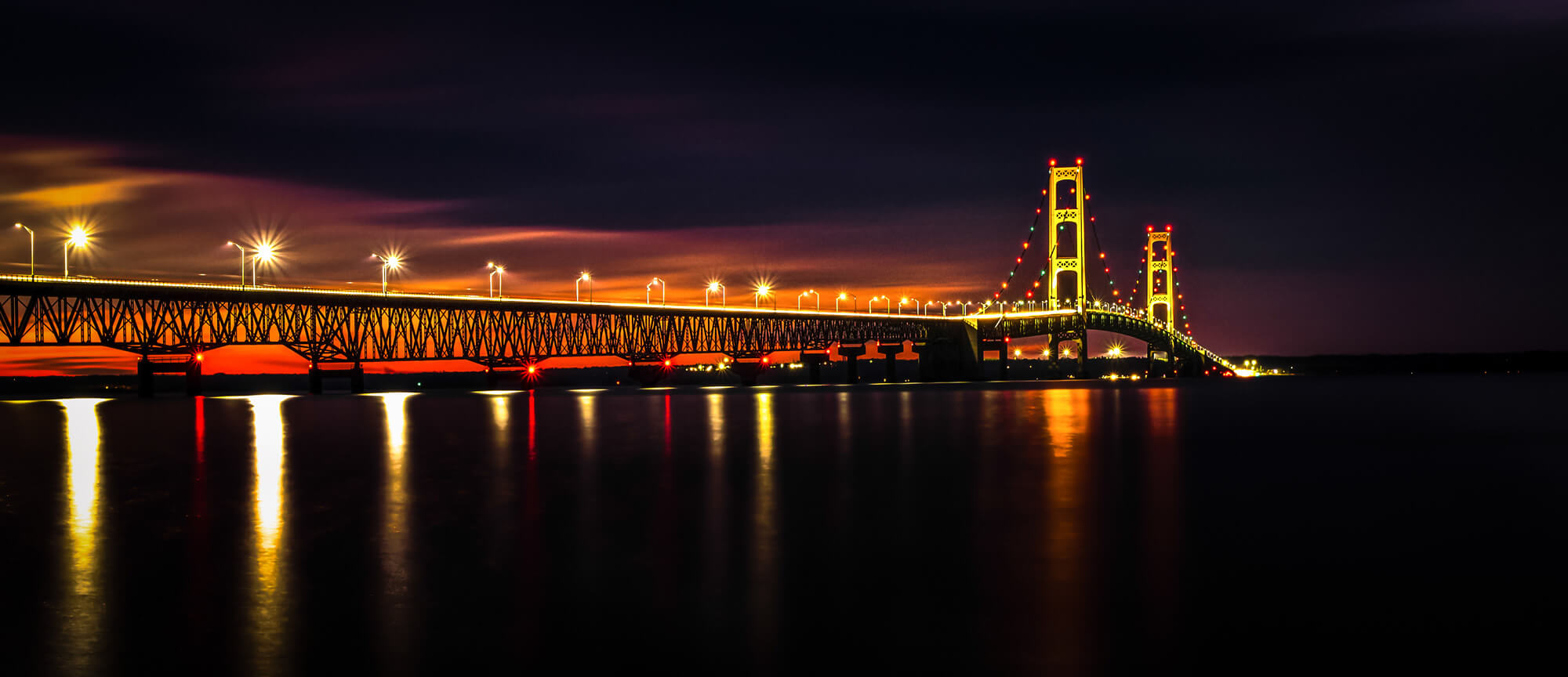
Michigan Mackinaw Bridge Illuminated Panorama. The Mackinaw Bridge is part of I-75 connects Michigan’s Upper and Lower Peninsula and is one of the longest suspension bridges in the world.
Where is Located Michigan on the US Map?
Show Google interactive map, satellite map, where is the country located.
Get directions by driving, walking, bicycling, public transportation, and traveling with street view.
Feel free to explore these pages as well:
- Michigan Map ↗️
- Map of Michigan ↗️
- Michigan Cities Map ↗️
- Michigan on the Edge: 2024 US Election Predictions and the 2020 Turnaround ↗️
- About Michigan ↗️
- Michigan Photos ↗️
- The US presidential election in Georgia: Predictions for 2024 and a look back at the swing in 2020 ↗️
- Arizona’s US Presidential Election: 2024 Predictions and a Look Back at the 2020 Swing ↗️
- Illinois Map ↗️
- Map of Illinois ↗️
- Illinois Photos ↗️
- Top 10 Best Experiences to Maximize Your Chicago Journey ↗️
- Chicago’s Hidden Gems: Exploring the Lesser-Known Sights of the Windy City ↗️
- Kenosha Travel Guide, Kenosha Protests and 4K Aerial View ↗️
- United States Map ↗️
- Map of United States ↗️
- North America Map ↗️
- Map of North America ↗️
- Advertisement -
