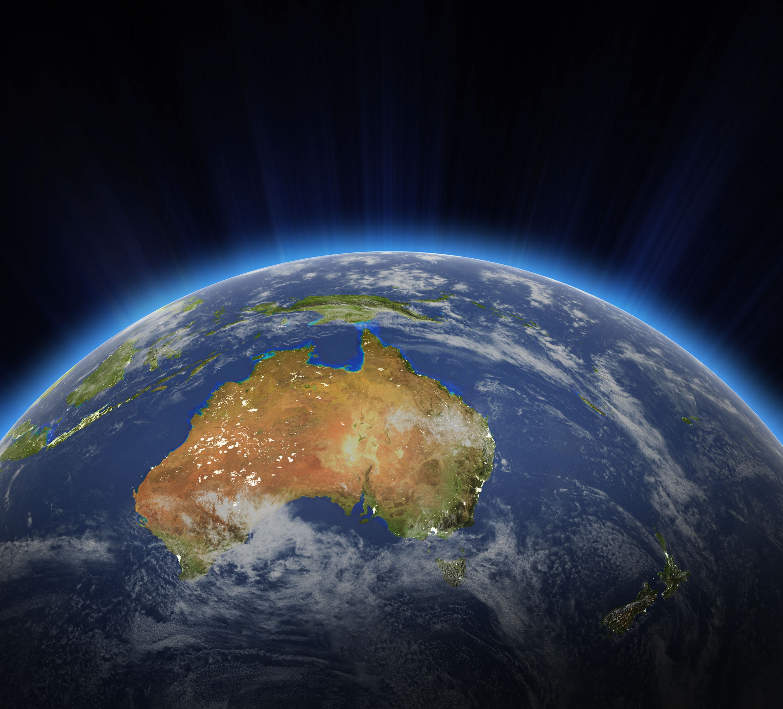
Ah, Oceania. A realm that evokes images of pristine beaches, lush rainforests, and diverse cultures. A mosaic of islands spread across the vast blue expanse of the Pacific Ocean, each holding its own unique tale. But how well do we really know this captivating part of our planet? The best way to uncover the secrets of a region, its landscapes, history, and its intricate political tapestry, is through maps. And that’s precisely what we’ve curated for you here – a comprehensive collection that paints a holistic picture of Oceania.
Whether you’re an avid geographer, a passionate traveler, a student trying to grasp the nuances of Oceania’s topography, or simply someone with an unwavering curiosity about our world, this is your sanctuary. With maps ranging from the physical attributes of the land to the languages spoken across its territories, we’ve endeavored to bring every facet of Oceania to your fingertips.
So, let’s embark on this cartographic journey together, shall we? Dive in, explore, and let these maps tell you stories that words alone can’t convey.
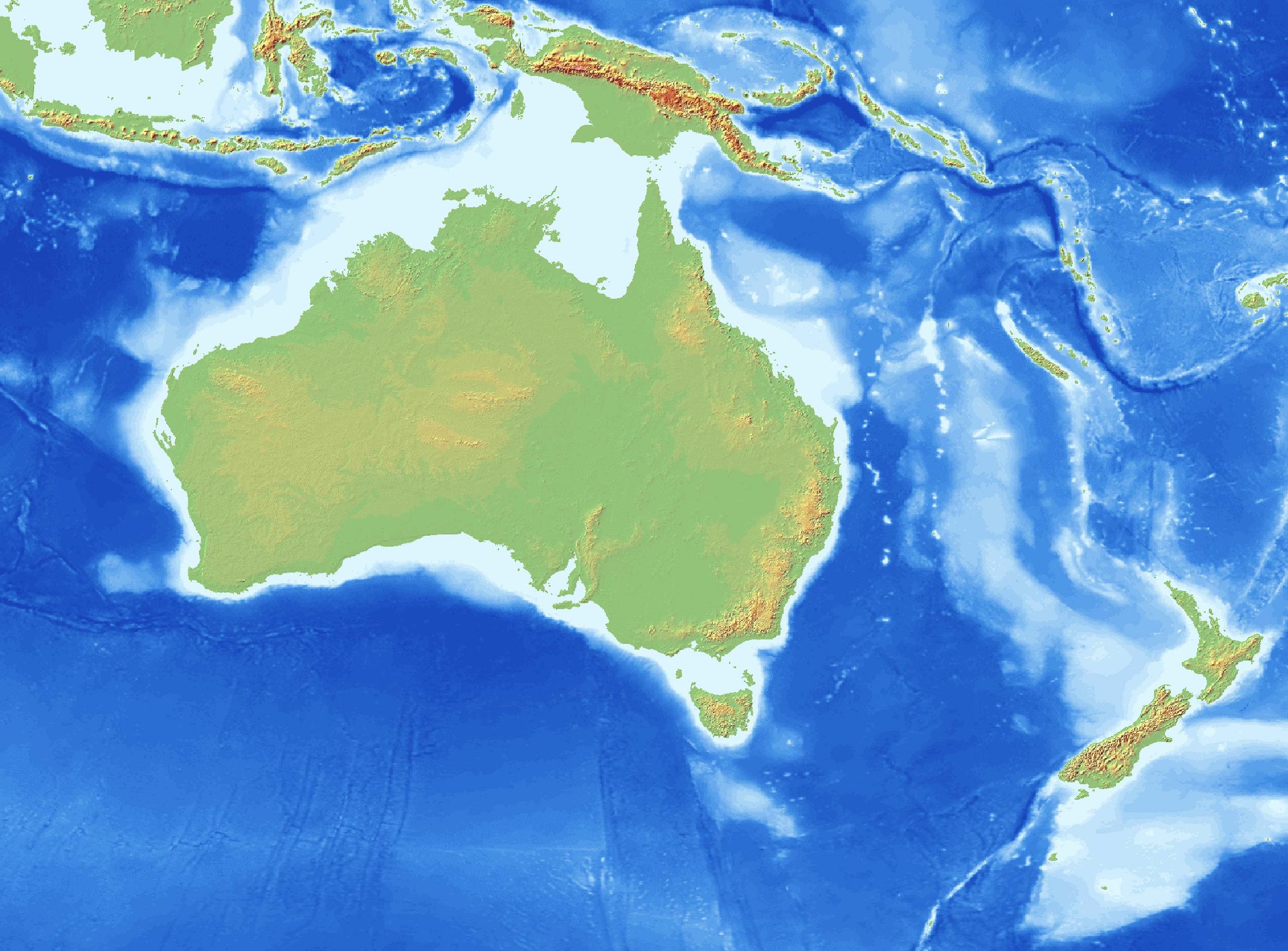
1. Oceania Physical Map
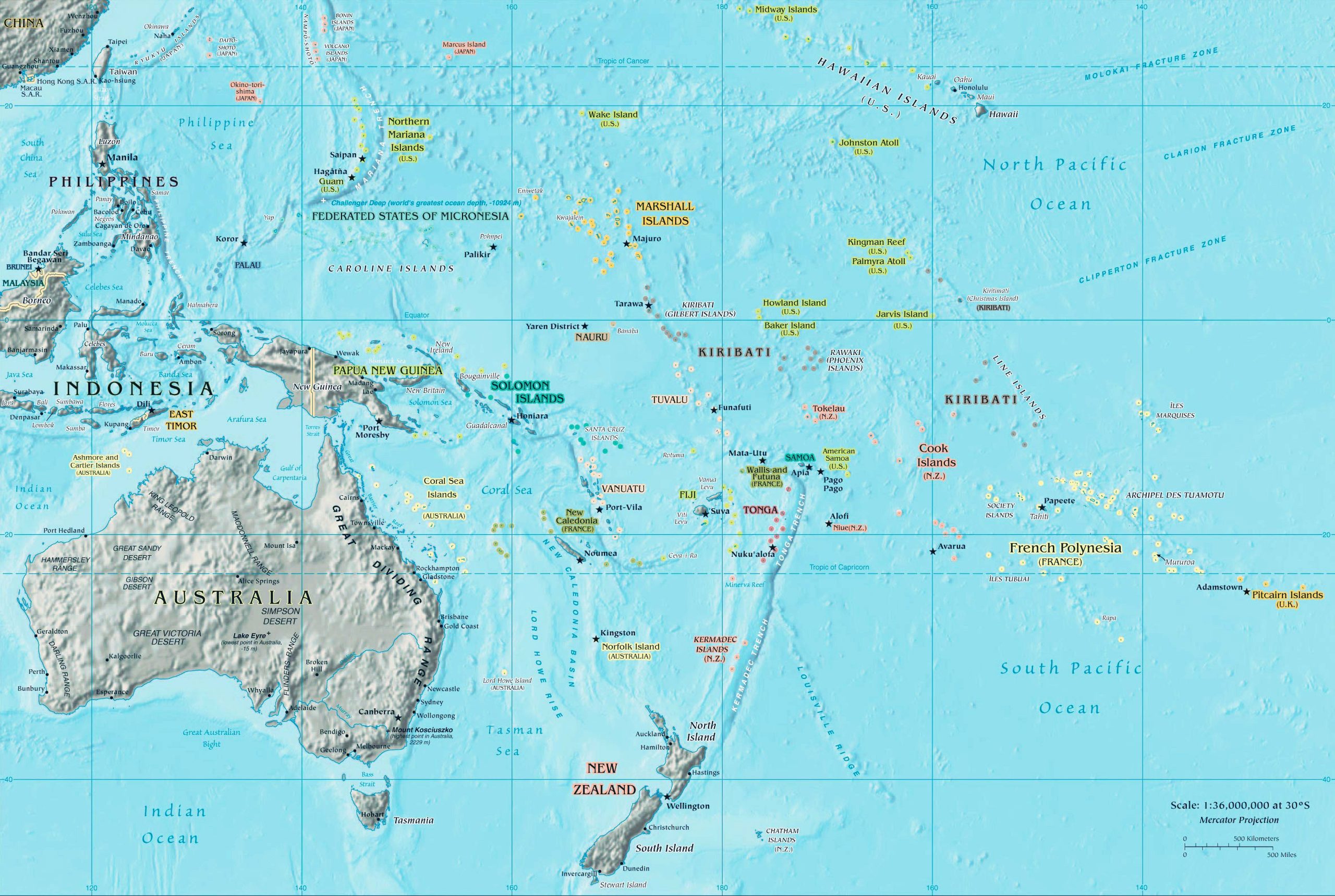
Discover Oceania’s natural landscapes – its mountain ranges, plateaus, and coastlines. A physical map offers a clear visual of the landforms and water bodies that make up this diverse region.
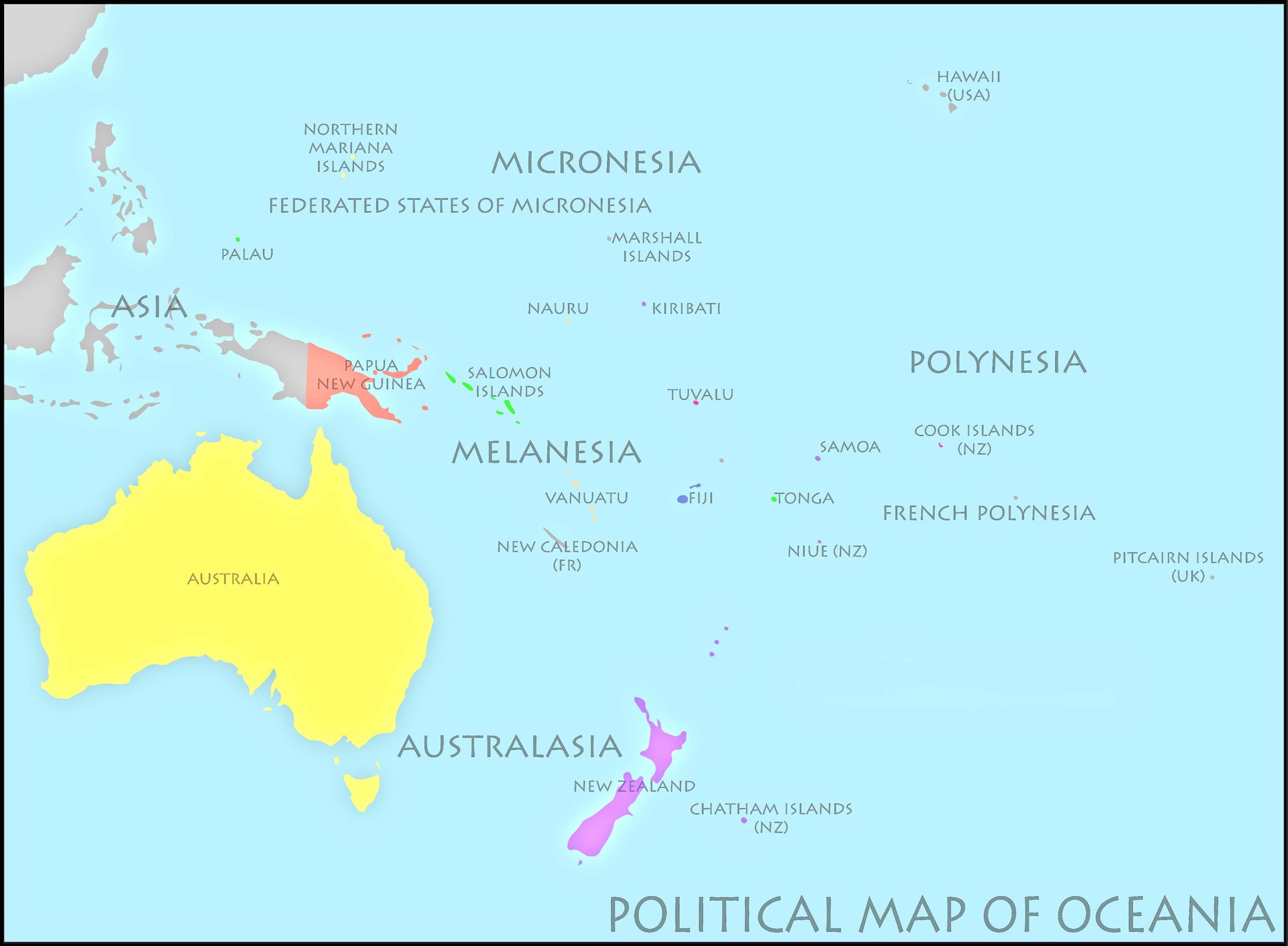
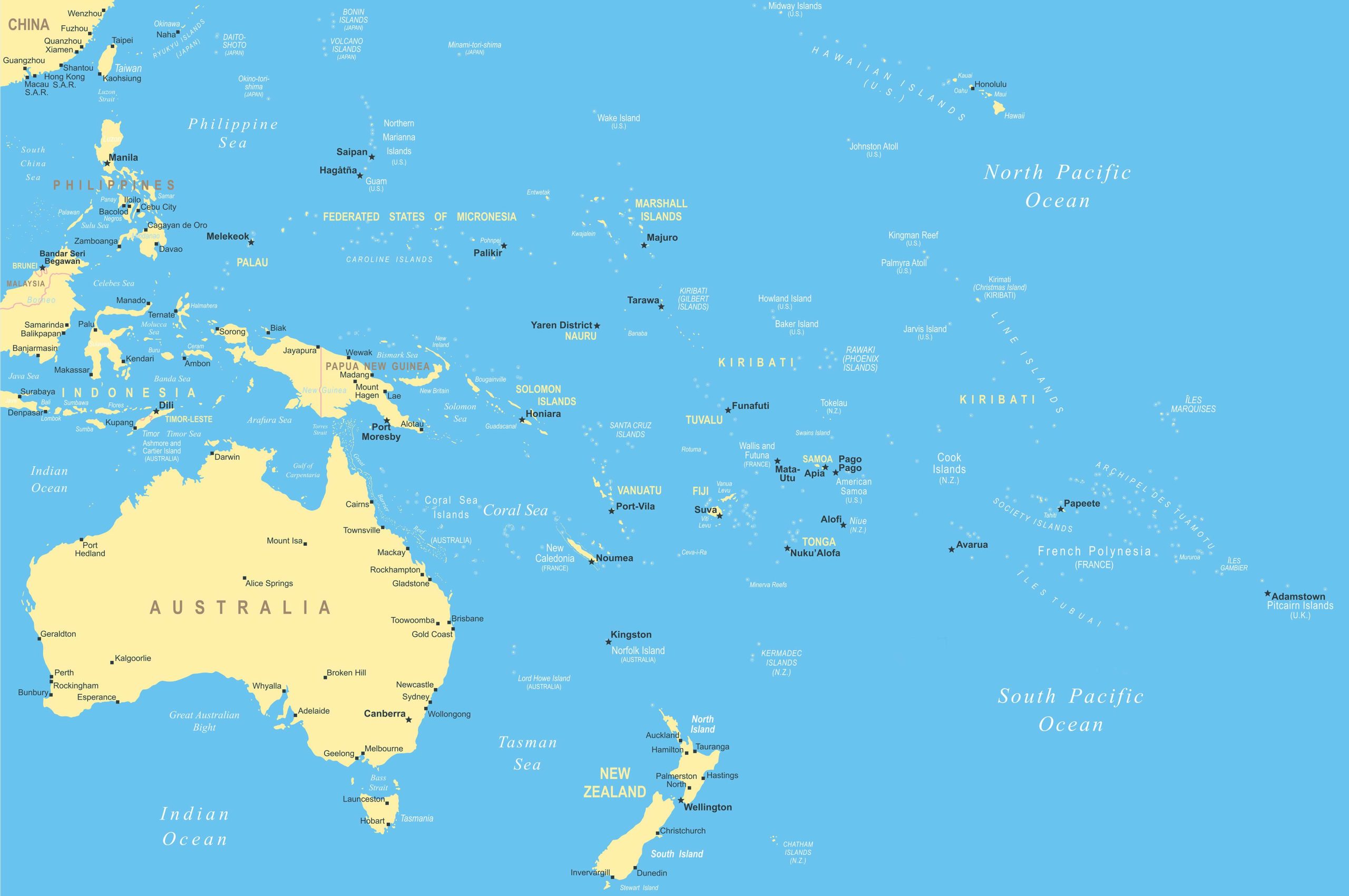
2. Oceania Political Map
Get an overview of the countries, states, and territories within Oceania. Understand the boundaries and political divisions of nations like Australia, Papua New Guinea, Fiji, and others.
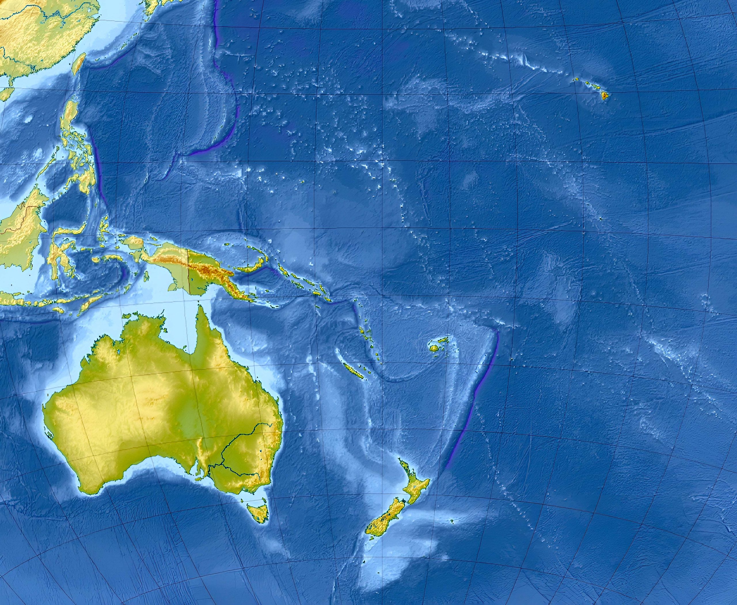
3. Oceania Topographic Map
With contour lines depicting elevations, a topographic map provides a 3D sense of Oceania’s terrain. Perfect for hikers or researchers keen on understanding the elevation levels.
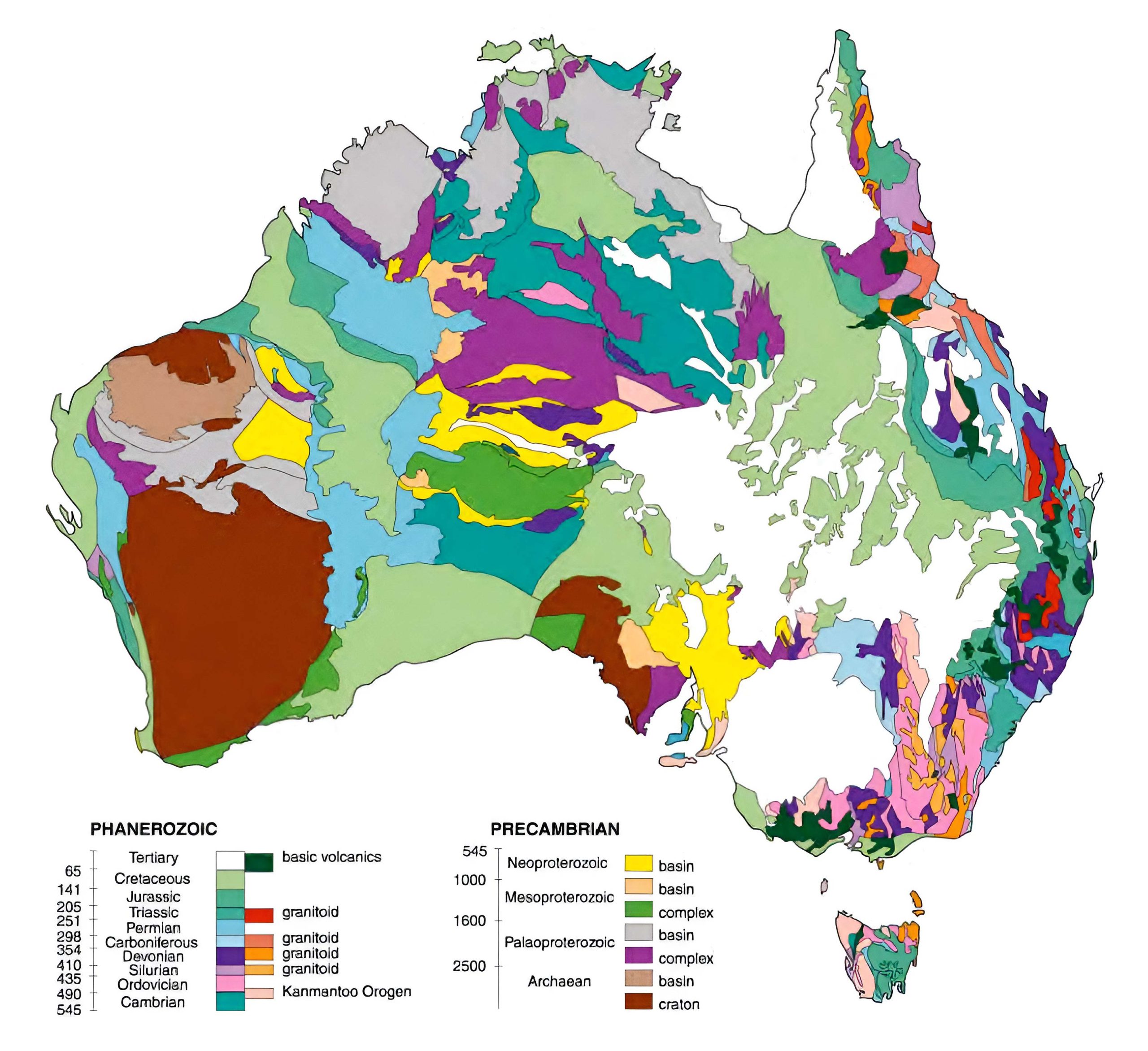
4. Australia Geological Map
Delve into the ancient rocks and mineral resources of Australia. This map reveals the types of rocks found at different locations and their ages.
5. Oceania Cities (Urban) Map
From Sydney’s sprawling metropolis to Suva’s vibrant streets, explore the cities of Oceania and their significant urban centers.
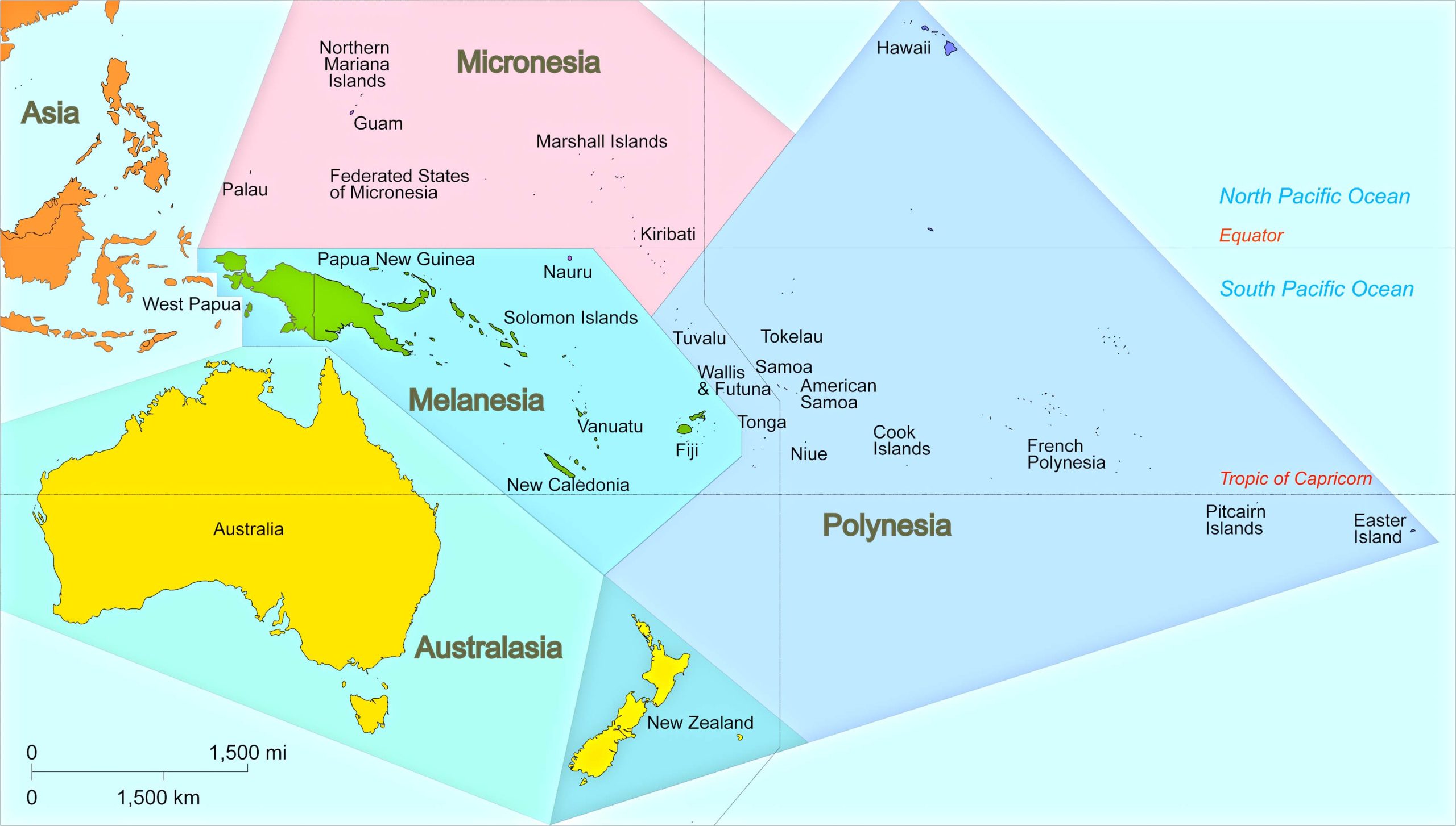
6. Oceania Regions Map (UN Geoscheme)
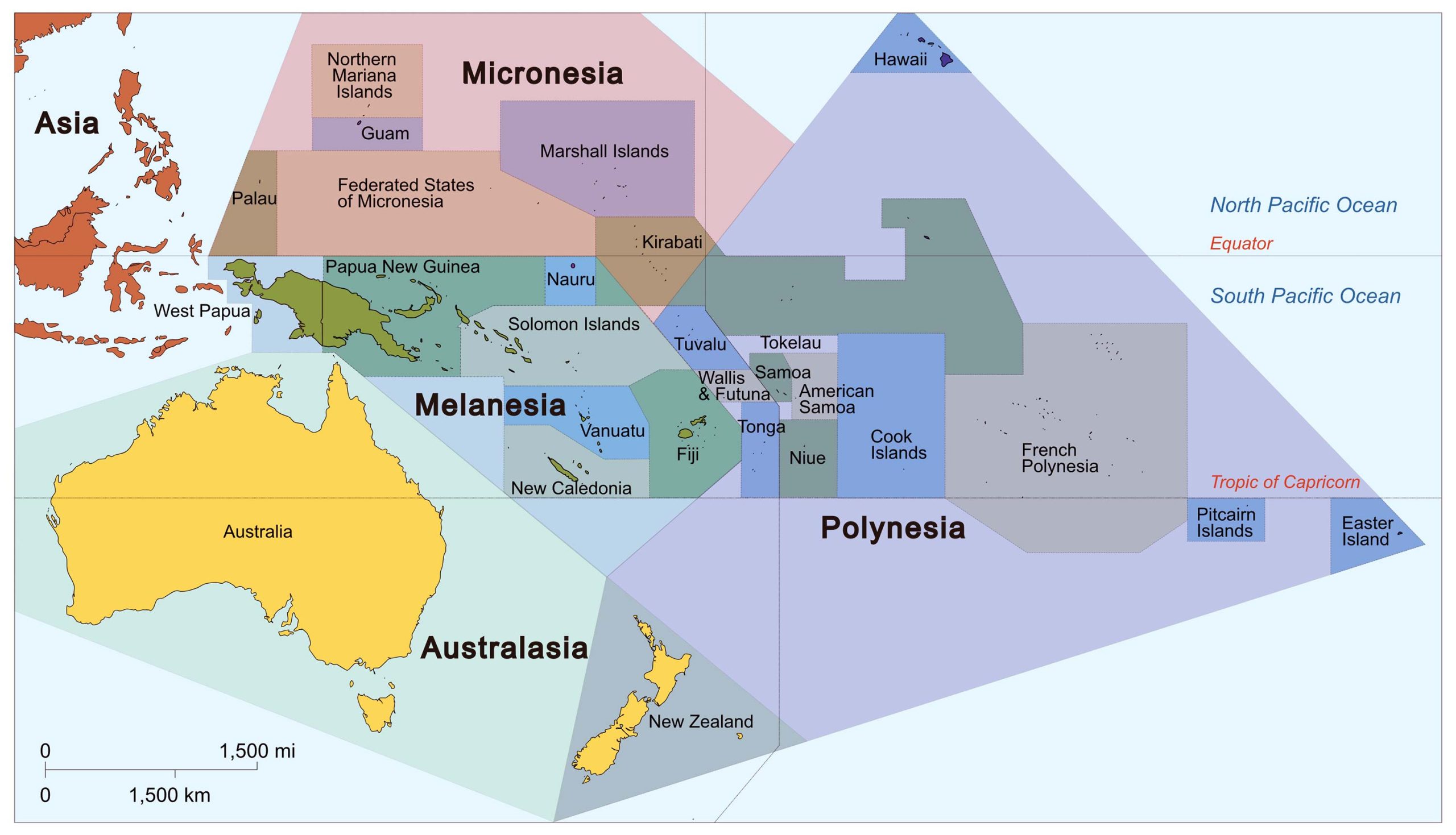
Breakdown Oceania into its distinctive regions. Whether it’s Polynesia, Micronesia, or Melanesia, learn about the areas that collectively form Oceania.
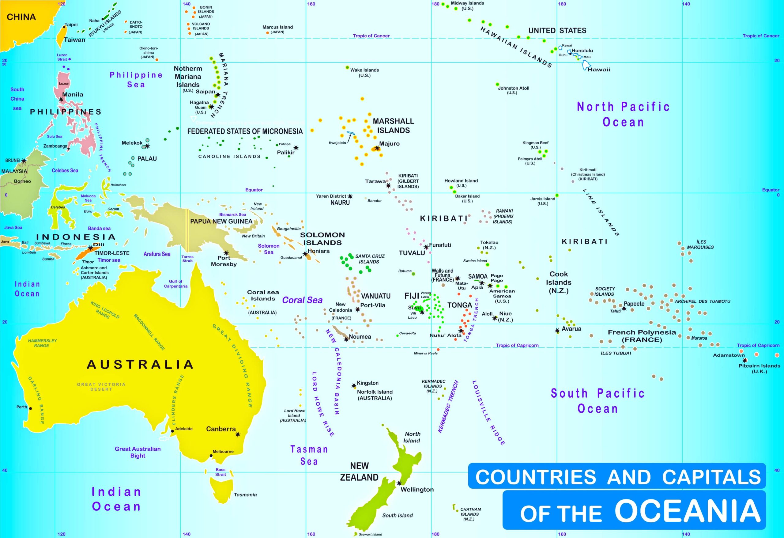
7. Countries and Capitals of the Oceania Map
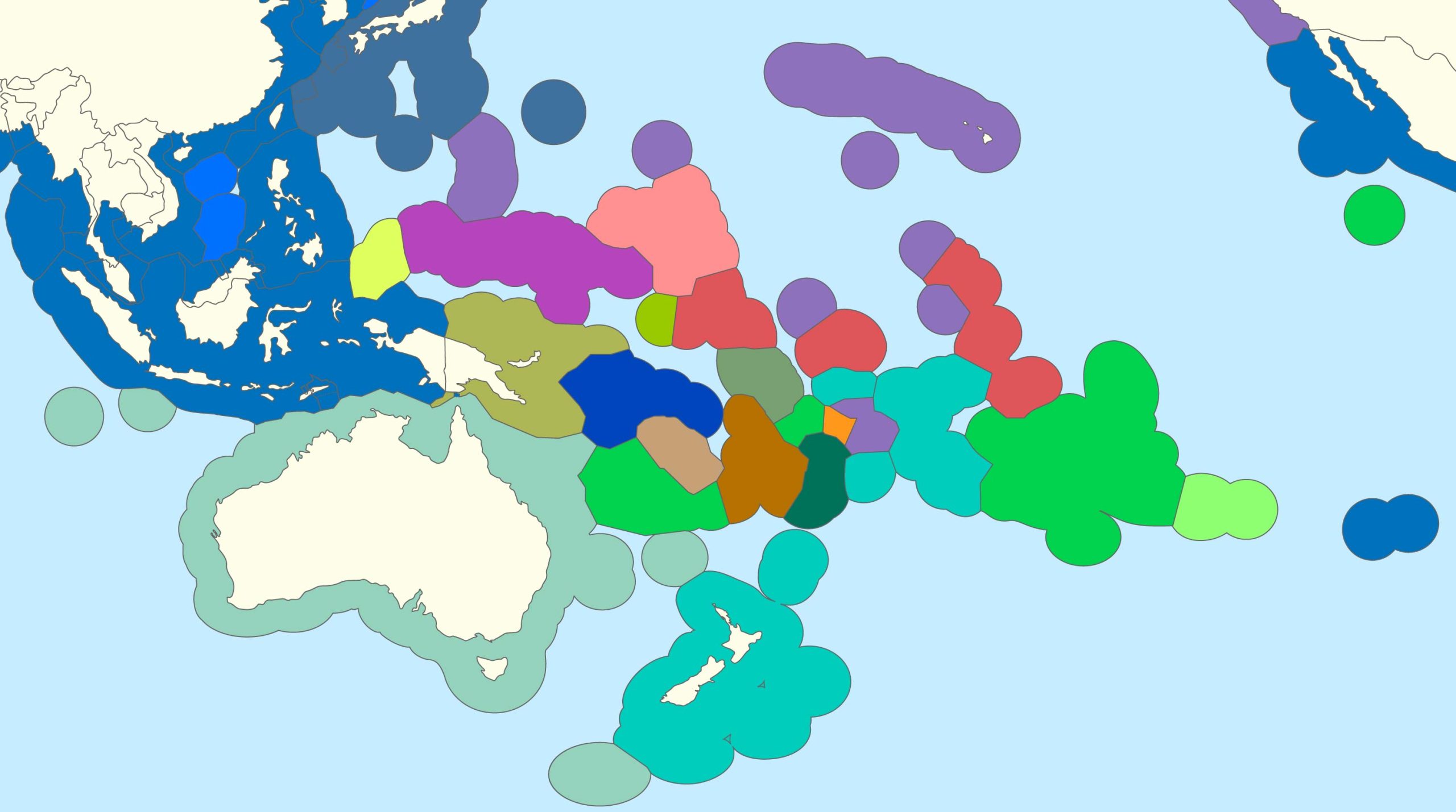
8. Oceania Exclusive Economic Zones Map
9. Oceania Relief Map
With shaded areas depicting elevations, this map gives a visual sense of the relief features of the land.
10. Oceania Countries and Subregions Map
11. Oceania Historical Map (1852)
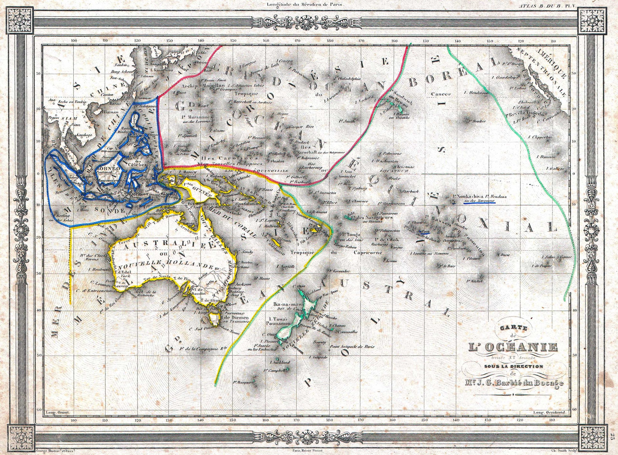
A distinctive and beautifully crafted 1852 Oceania map by J. G. Barbié du Bocage. It encompasses regions such as Australia, New Zealand, Polynesia, Micronesia, Melanesia, and Malaysia. In this map, Australia is termed “pays inconnu” and is also referred to as “New Holland”. Hawaii is depicted as the “Sandwich Islands”. The map boasts an elegant frame-like border. It was produced by J. G. Barbié du Bocage for inclusion as the 25th plate in Maison Basset’s 1852 version of the Atlas illustré. (Source: Wikipedia)
12. Oceania Blank Map
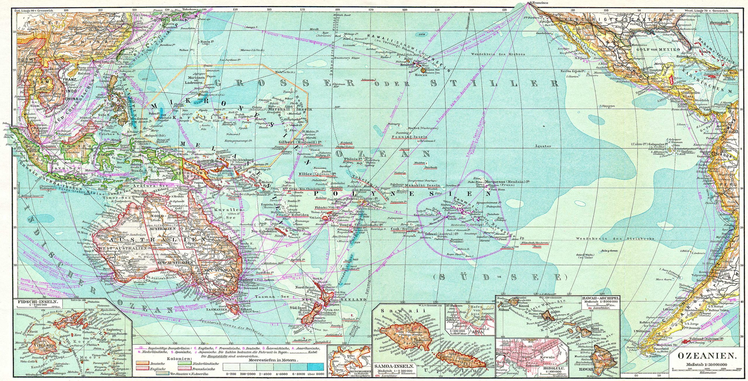
13. Oceania Atlas Map
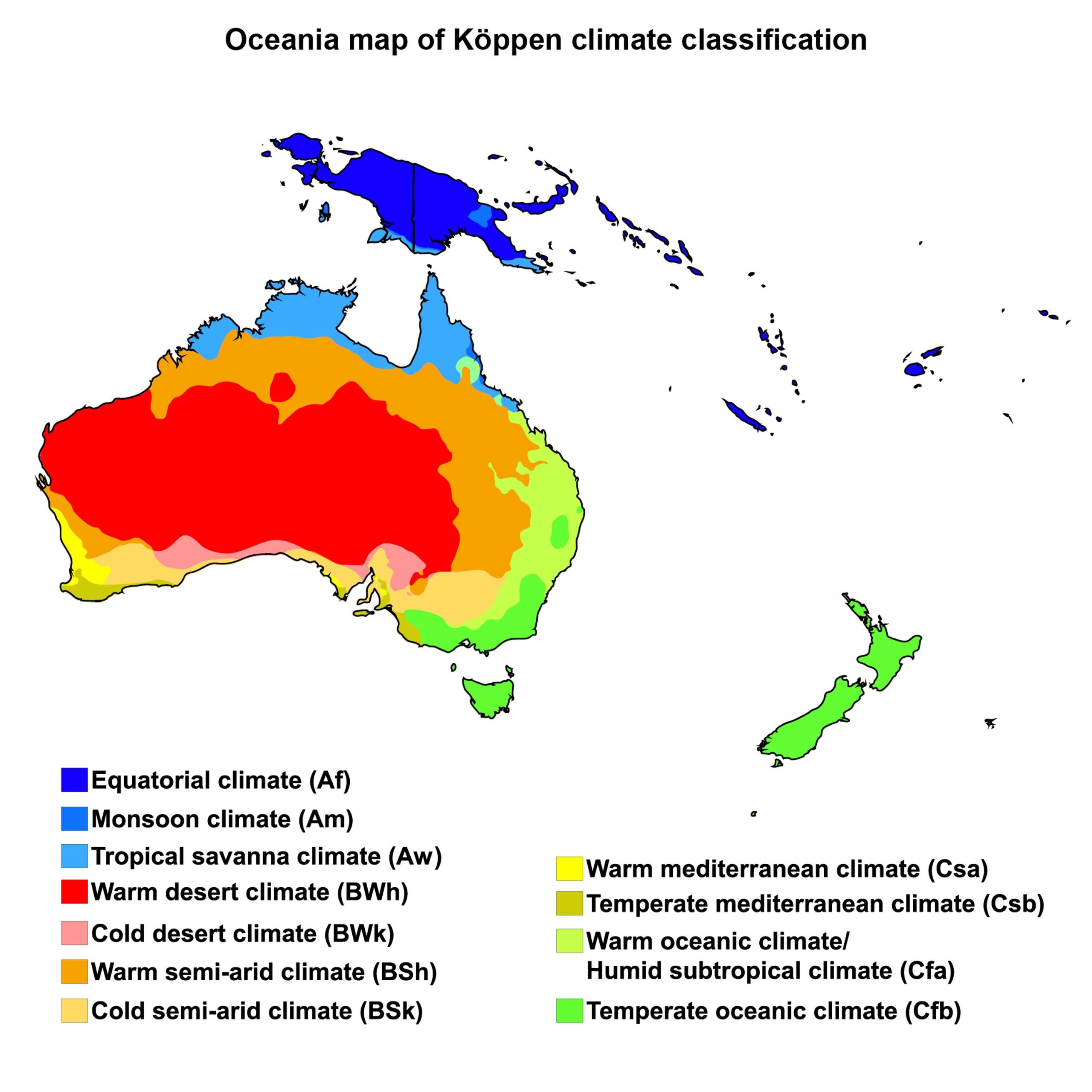
14. Oceania Climate Map
From tropical rainforests to arid deserts, understand Oceania’s diverse climates with this colorful and informative map.
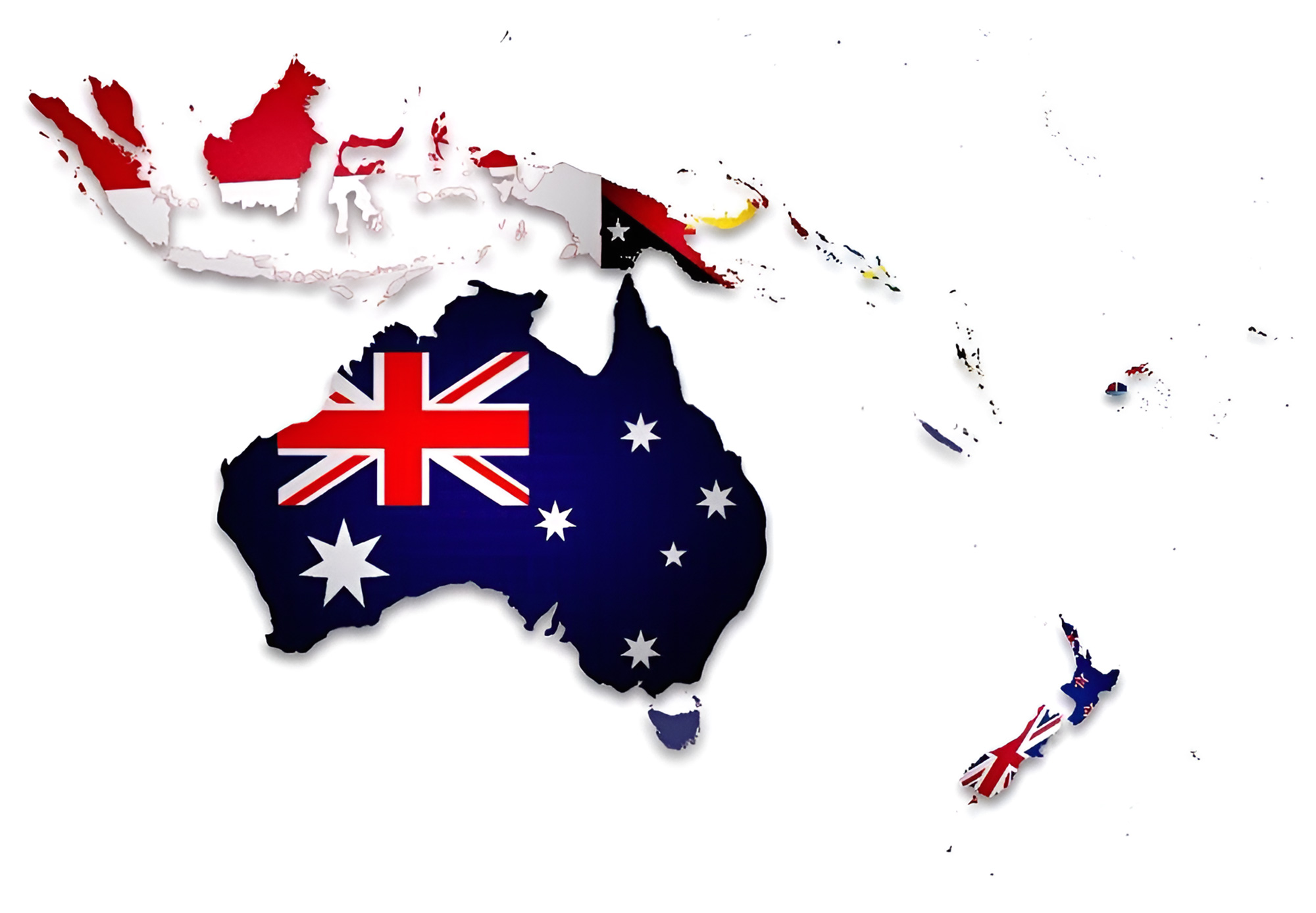
15. Oceania Flag Map
A blend of cartography and art, the flag map overlays the flags of Oceania countries on their respective territories.
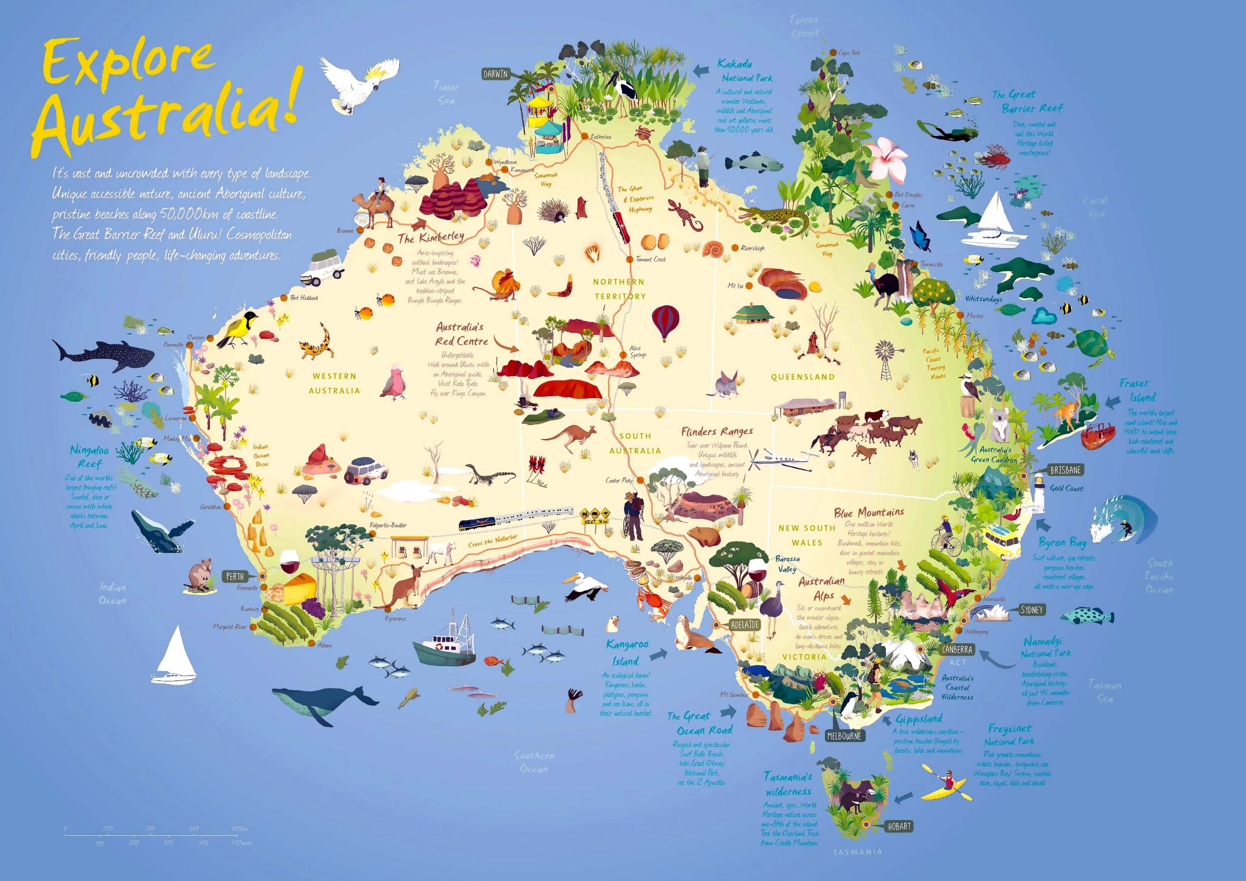
16. Australia Travel Map
Pinpoint tourist hotspots, attractions, and must-visit destinations across Australia.
17. Oceania 3D Earth Map
Oceania, a vast and varied region, is a treasure trove for map enthusiasts. From its physical features to its rich history, there’s so much to explore. We hope our collection of Oceania maps provides a detailed perspective, whether for academic, travel, or personal purposes. Don’t forget to bookmark this page for easy reference and share with fellow map aficionados!
Where is Oceania on the World Map?
Show Google map, satellite map, where is the country located.
Get directions by driving, walking, bicycling, public transportation and travel with street view.
Feel free to explore these pages as well:
- Oceania Map ↗️
- Map of Oceania ↗️
- Oceania Cities Map ↗️
- Oceania Time Zone Map ↗️
- Oceania High-Resolution Map ↗️
- Exploring the Hidden Gems of Central Coast, Australia ↗️
- Australia Map ↗️
- Map of Australia ↗️
- Australia Cities Map ↗️
- Diverse Maps of Australia ↗️
- Australia Time Zone Map ↗️
- About Australia, Infographics, Maps, Photos ↗️
- Exploring Australia’s 10 Largest Cities ↗️ ↗️
- A Collection of Oceania Maps ↗️
- Discovering the Charm of Canberra ↗️
- Adelaide: The Jewel of South Australia ↗️
- Australia has the climate to suit everyone ↗️
- Australia’s Top 10 Destinations ↗️
- Australia For Living & 10 Best Places to Live ↗️
- About Australia, Infographics, Maps, Photos ↗️
- Discovering the Sun-Drenched Splendors of Brisbane ↗️
- Melbourne’s Top 10 Attractions Every Tourist Must Experience ↗️
- American Samoa Map ↗️

