- Advertisement -
Explore high-resolution World Maps: political, physical, satellite, blank templates, time zones, continents, countries, airports, population density, historical maps, and Pacific-view wallpapers.
A world map is the best global reference, whether you need political borders, physical relief, satellite imagery, or blank outlines for study. Here, you’ll find high-resolution maps in multiple styles, including continents and regions, countries with capitals, time zones, airports, geological and geopolitical layers, population density, historical snapshots, globe maps with latitude and longitude, and even English and German labels and Pacific-view wallpapers. Download, print, or use them in class projects.
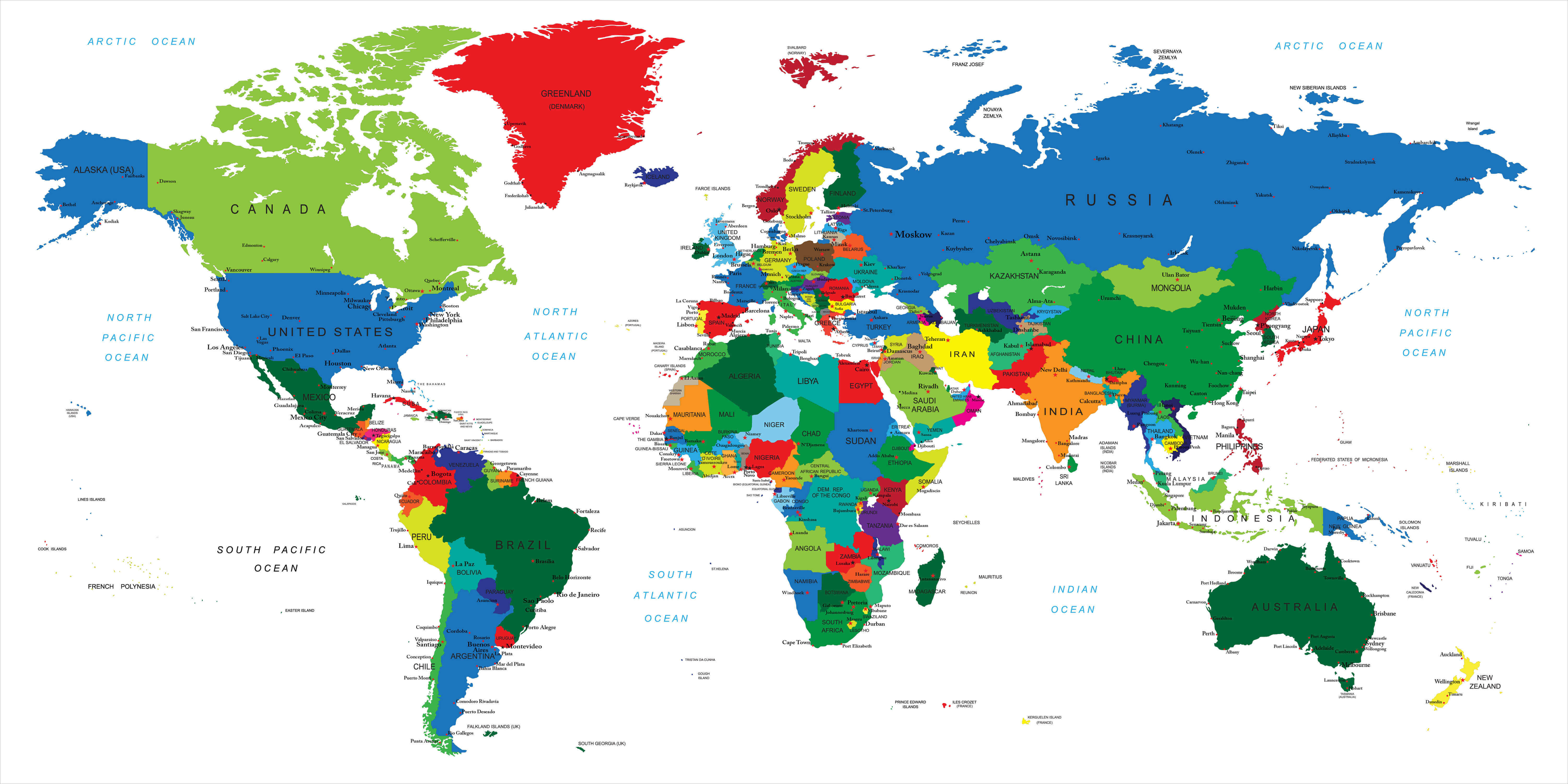
Detailed Political World Map with Countries and Oceans
 World map showing countries, capitals, and major oceans.
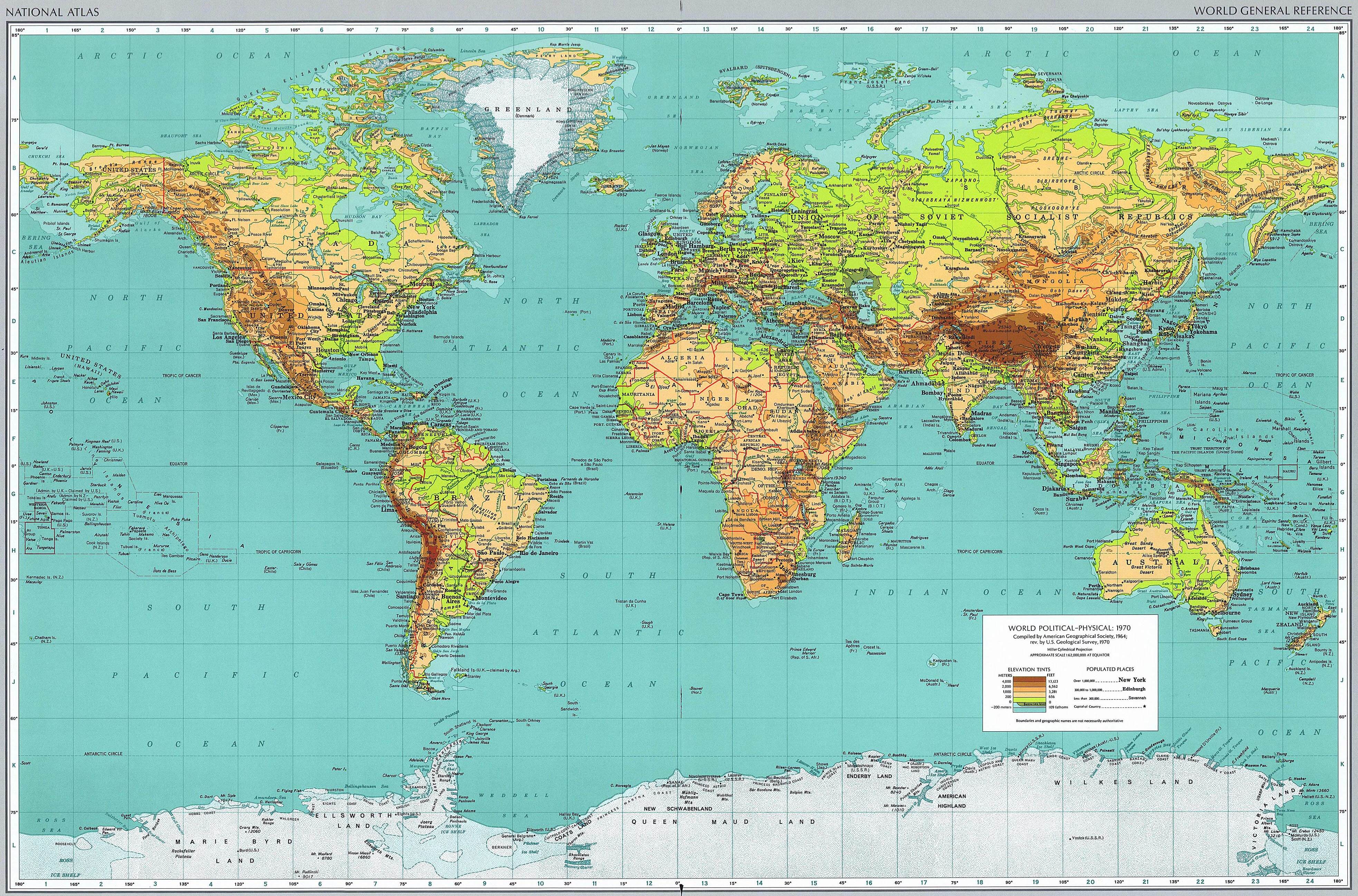
Physical Map of the World with Relief and Terrain
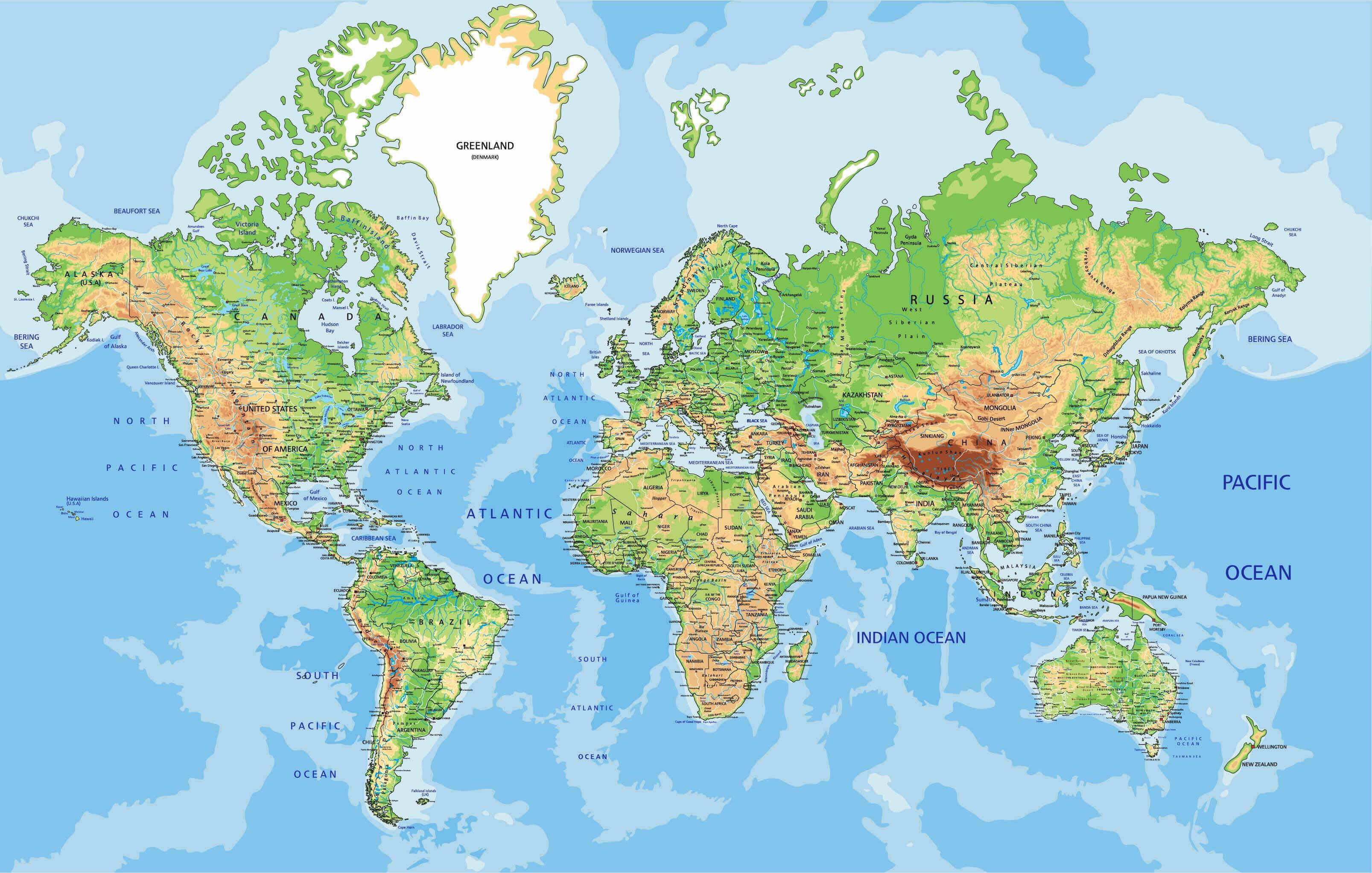 Physical world map showing mountains, plains, rivers, and oceans.
Large Political World Map with Countries and Capitals
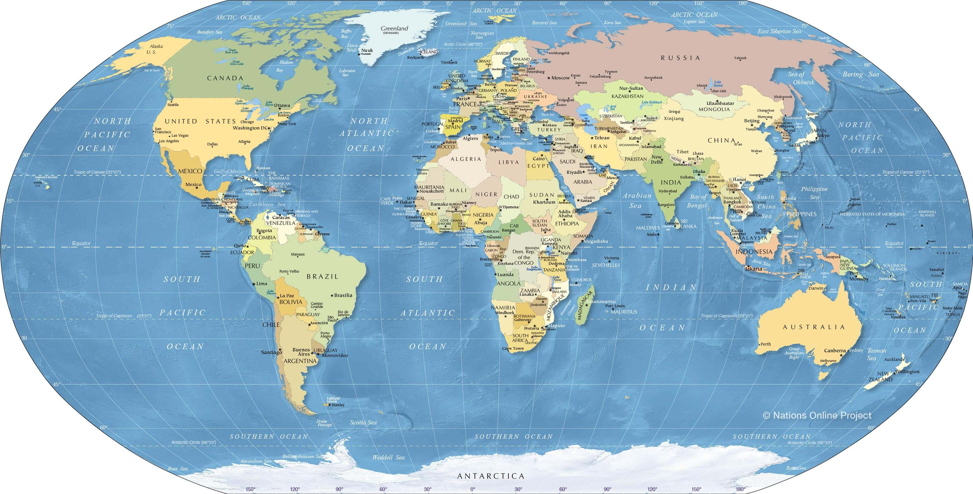 Large political world map showing countries, capitals and oceans.
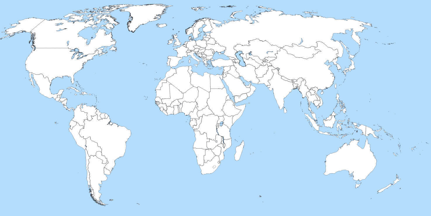
Blank map of the World
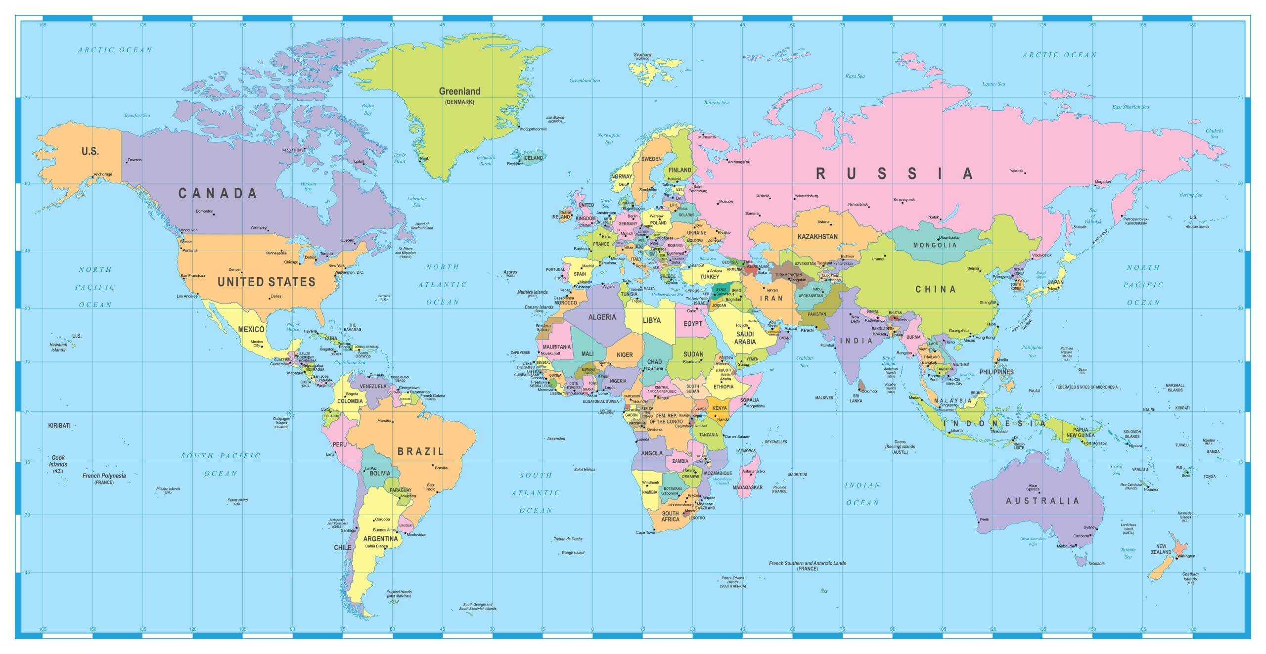
Countries capitals cities map of the World
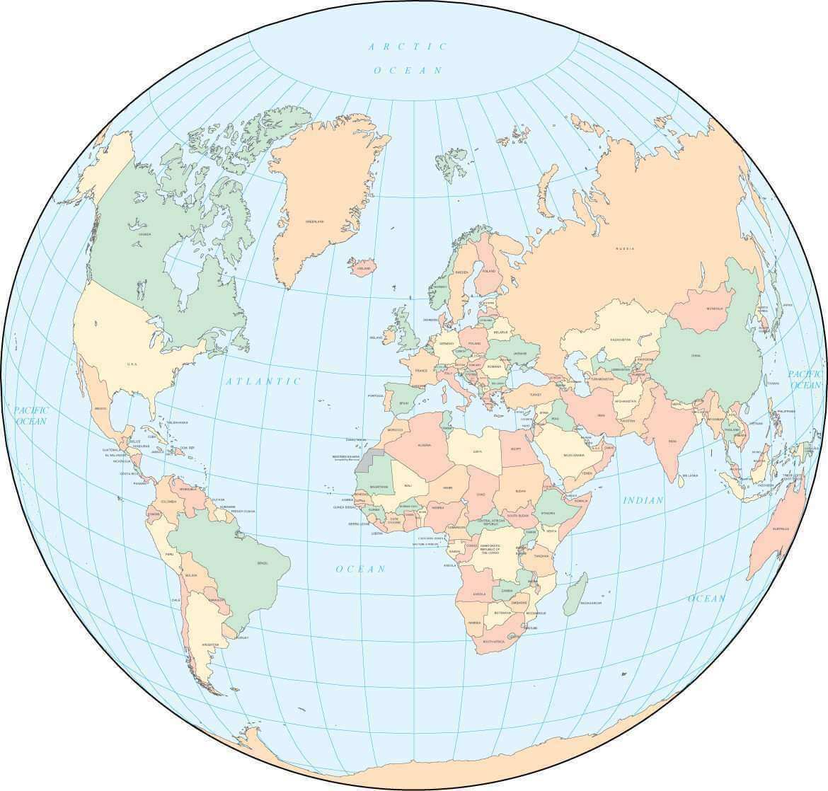
Globe map of the World
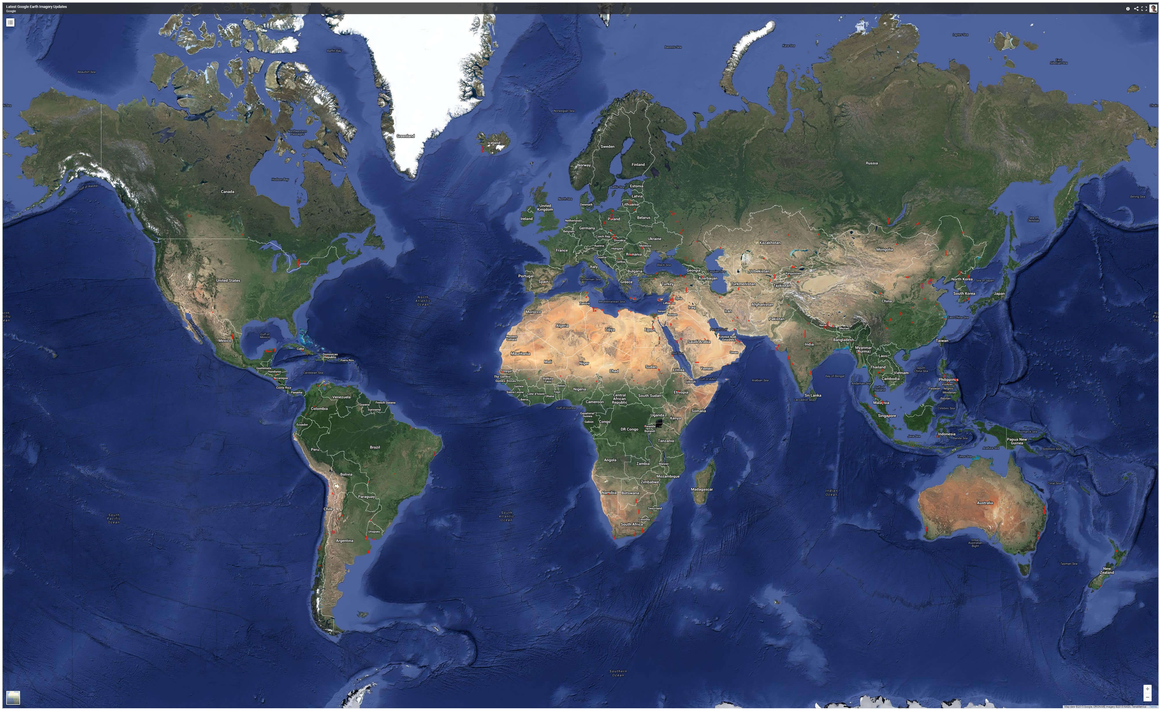
Google satellit World map
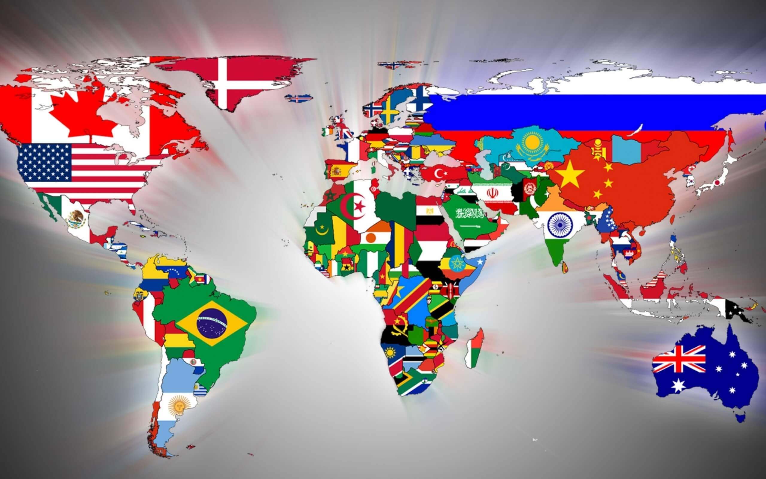
High resolution free World map wallpaper
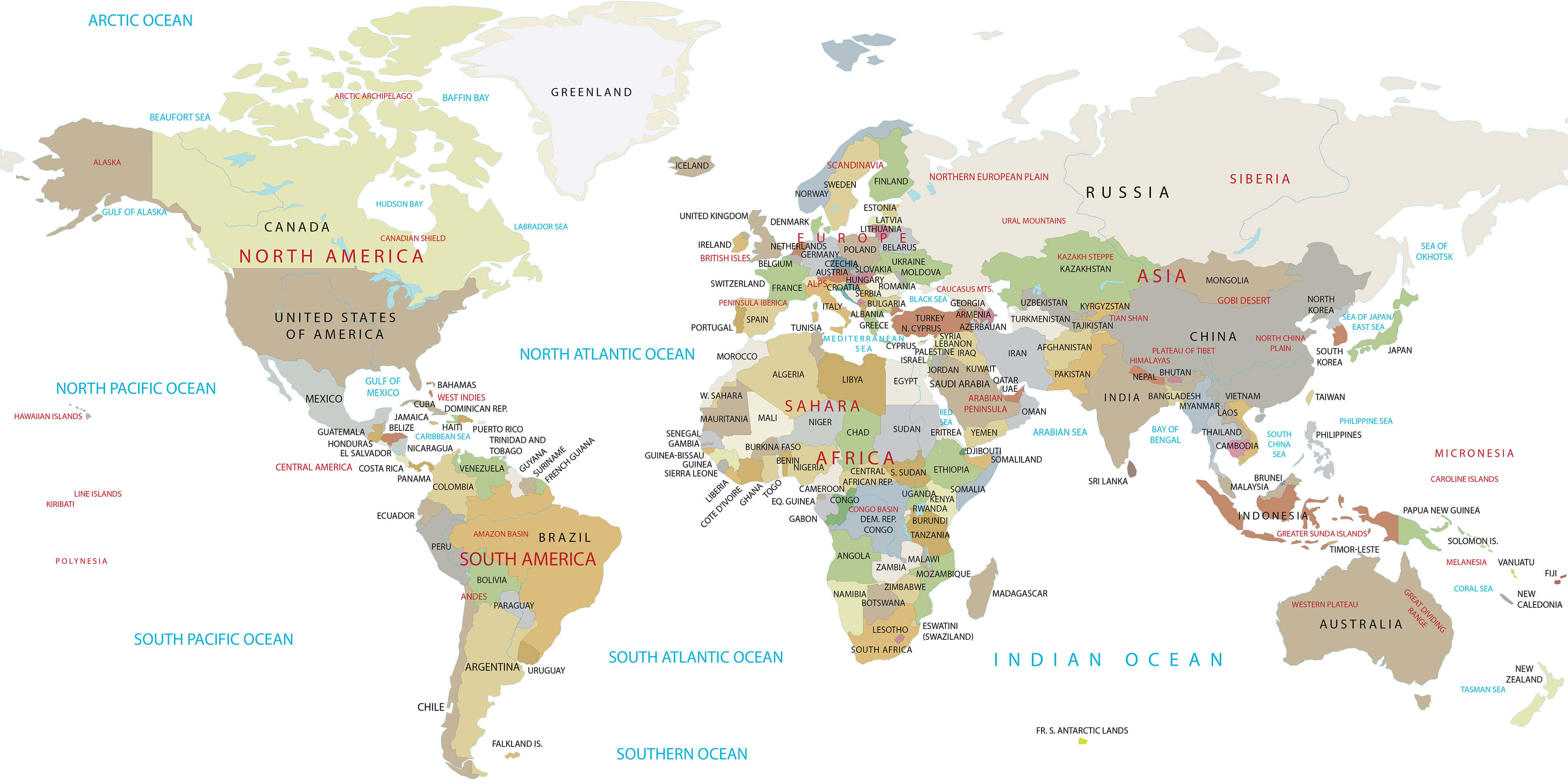
High resolution World map
Map of the World
Physical map of World
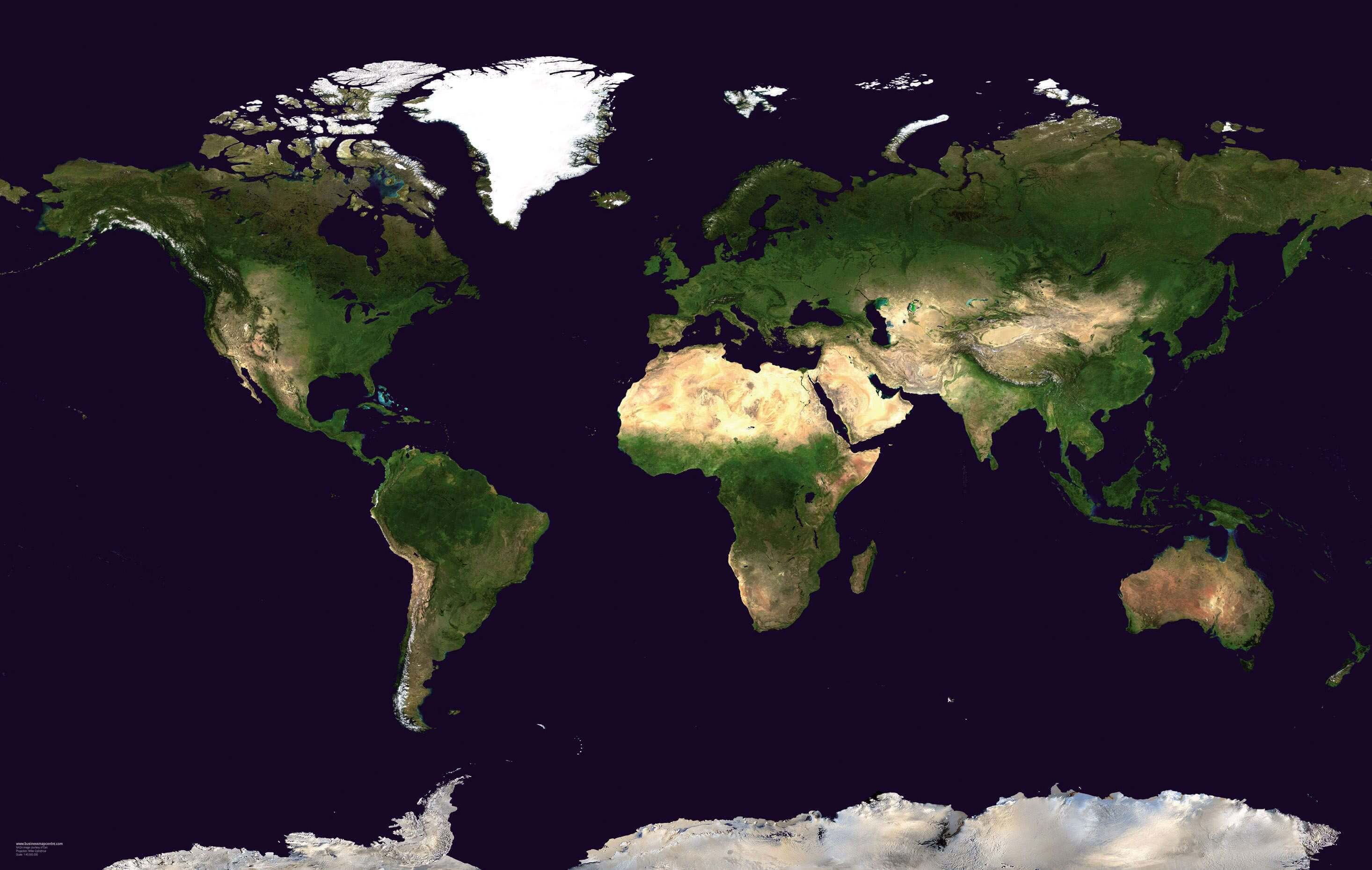
Satellite map of the World
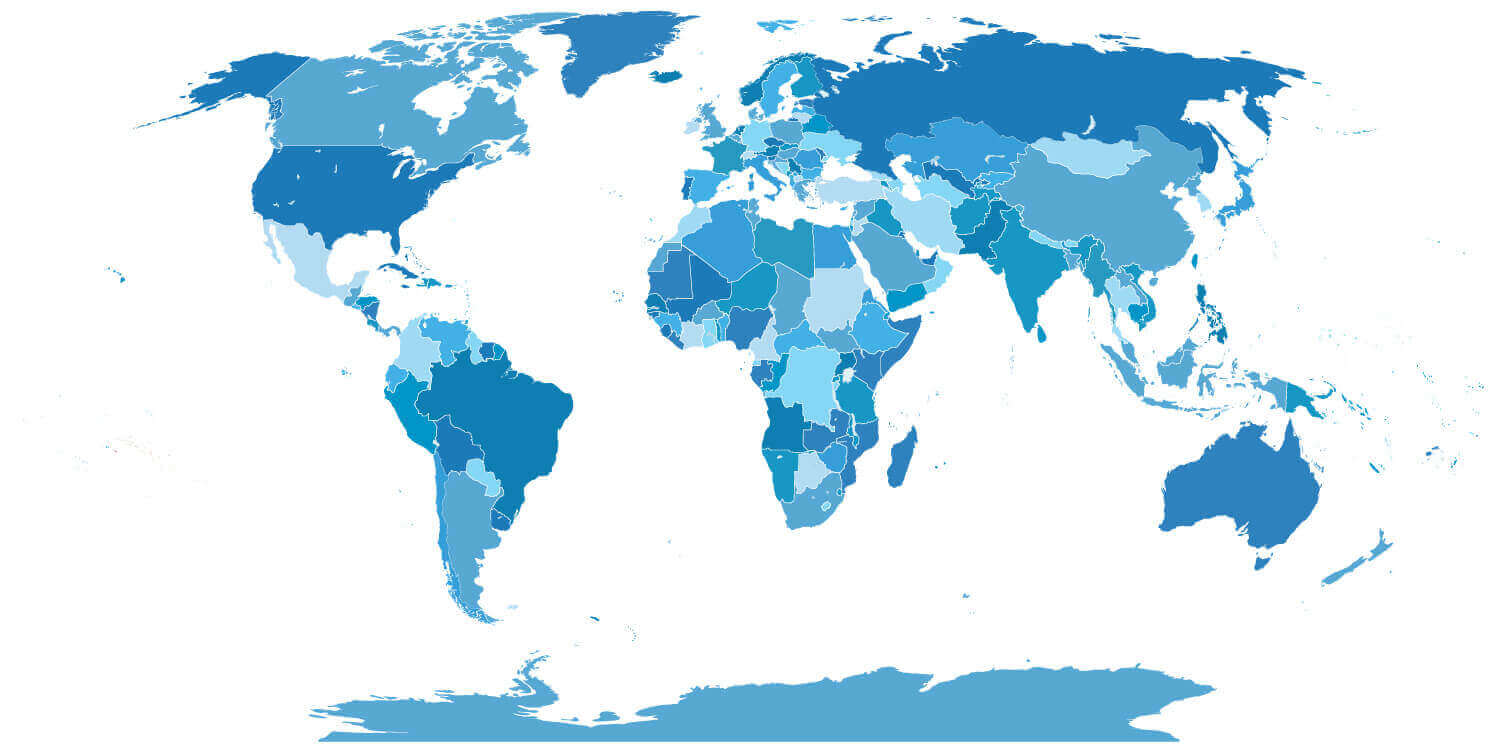
World blank map with countries
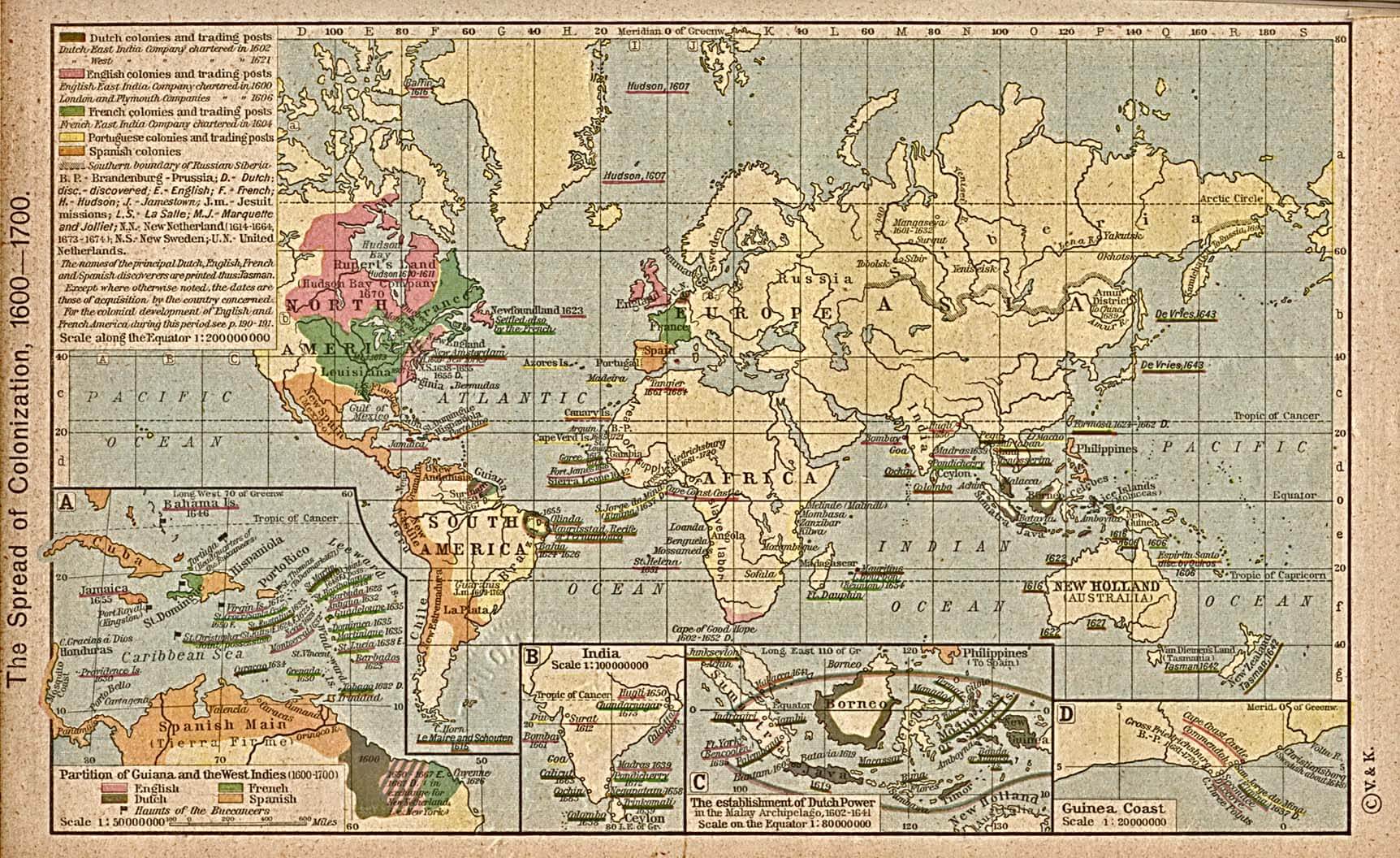
World colonization map 1600 1700
World continents map
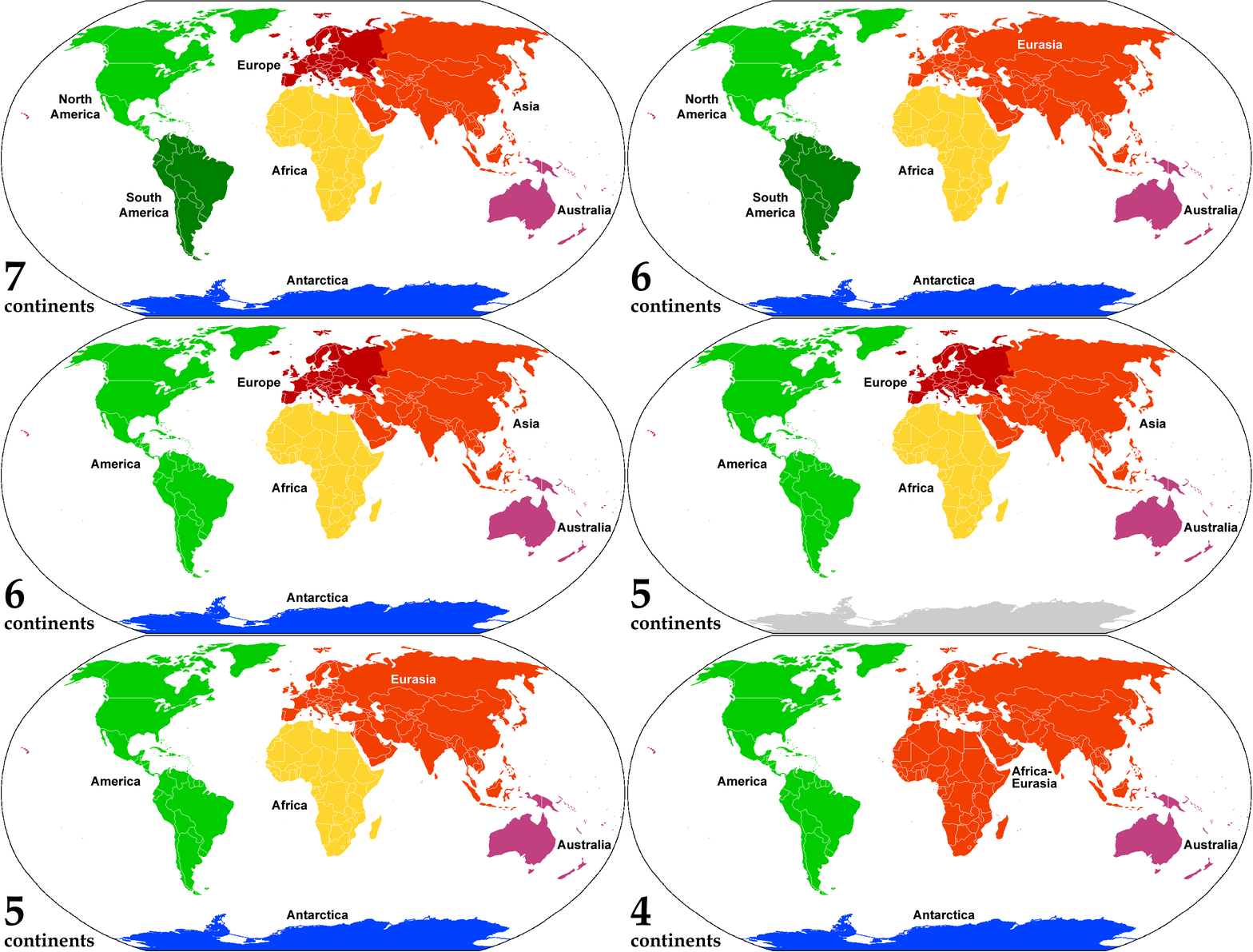
World continents map
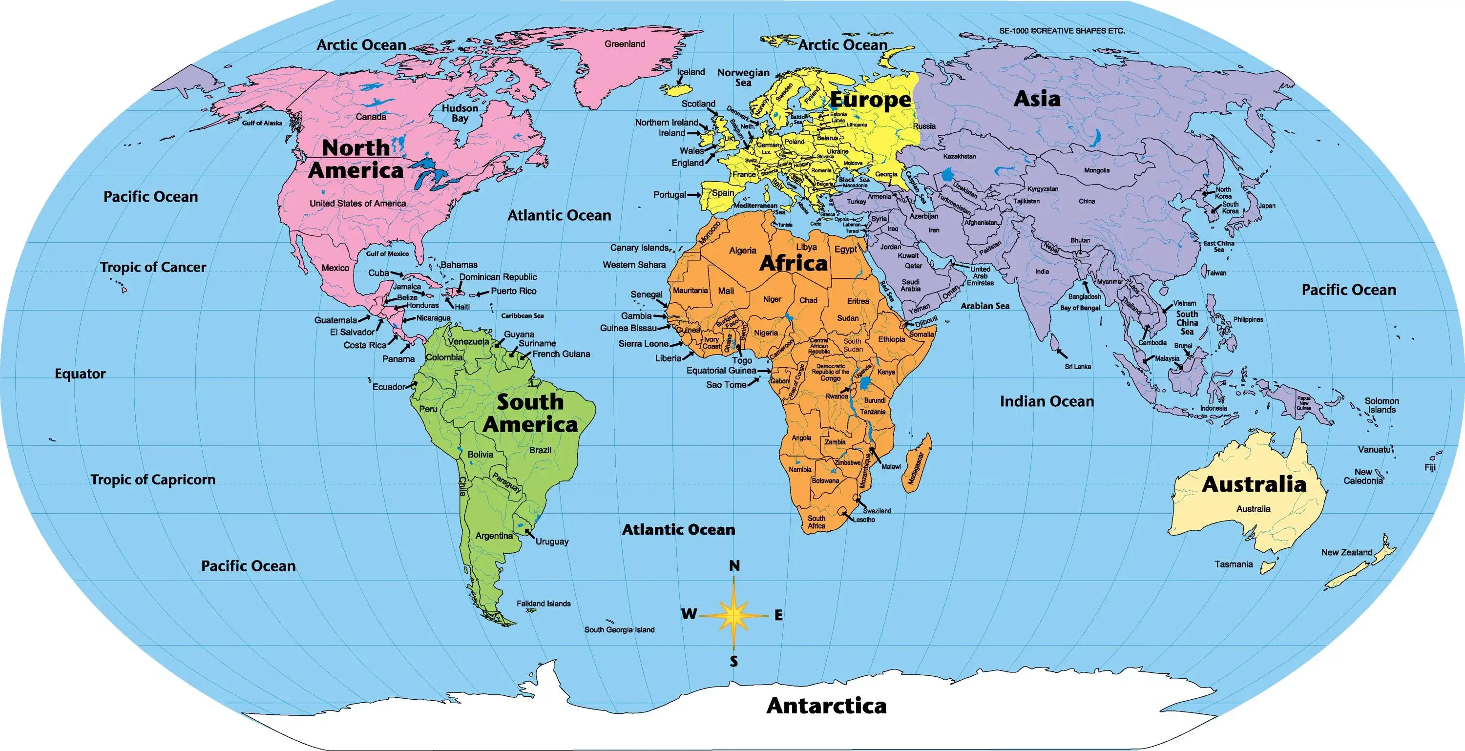
World countries map
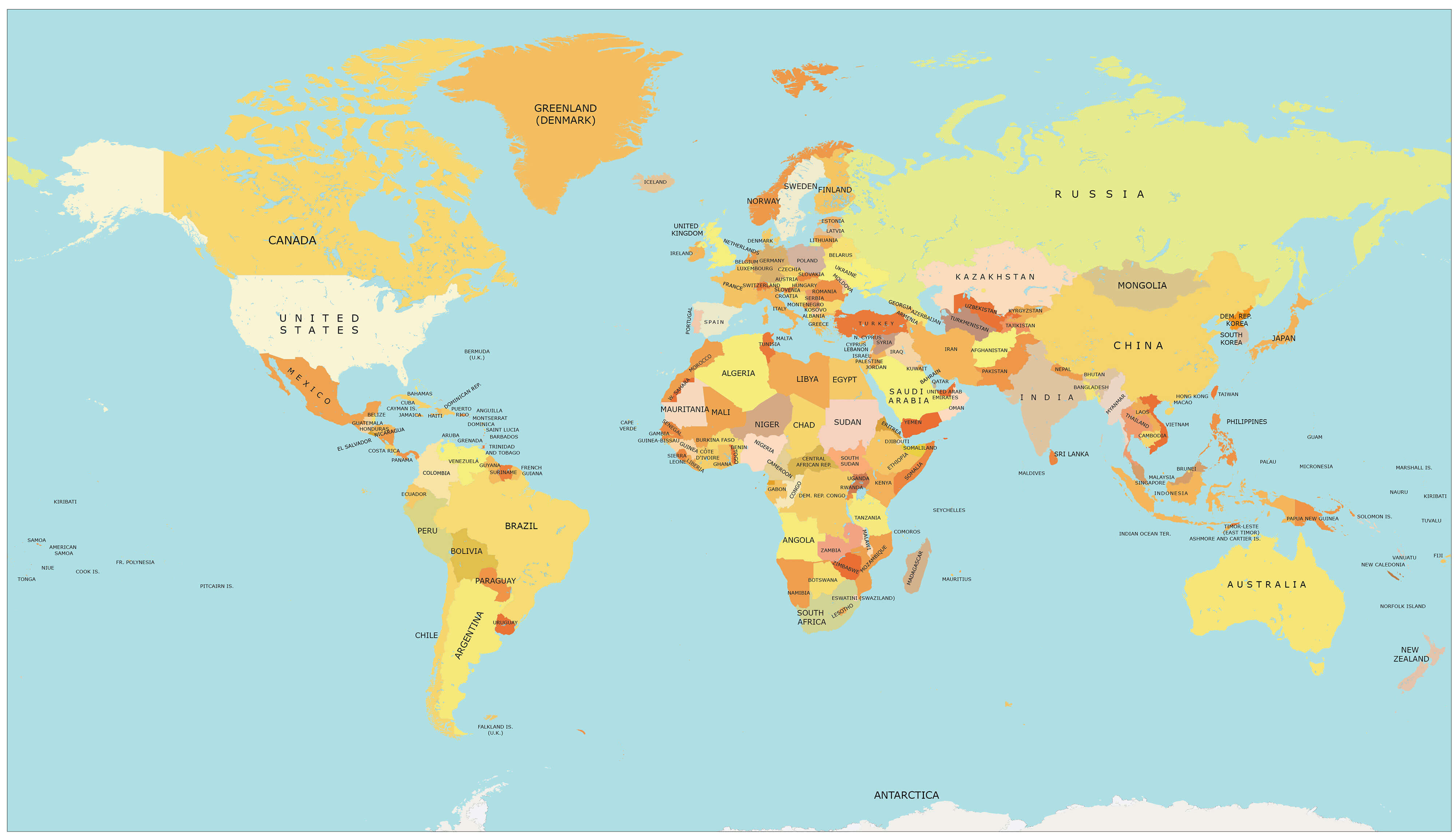
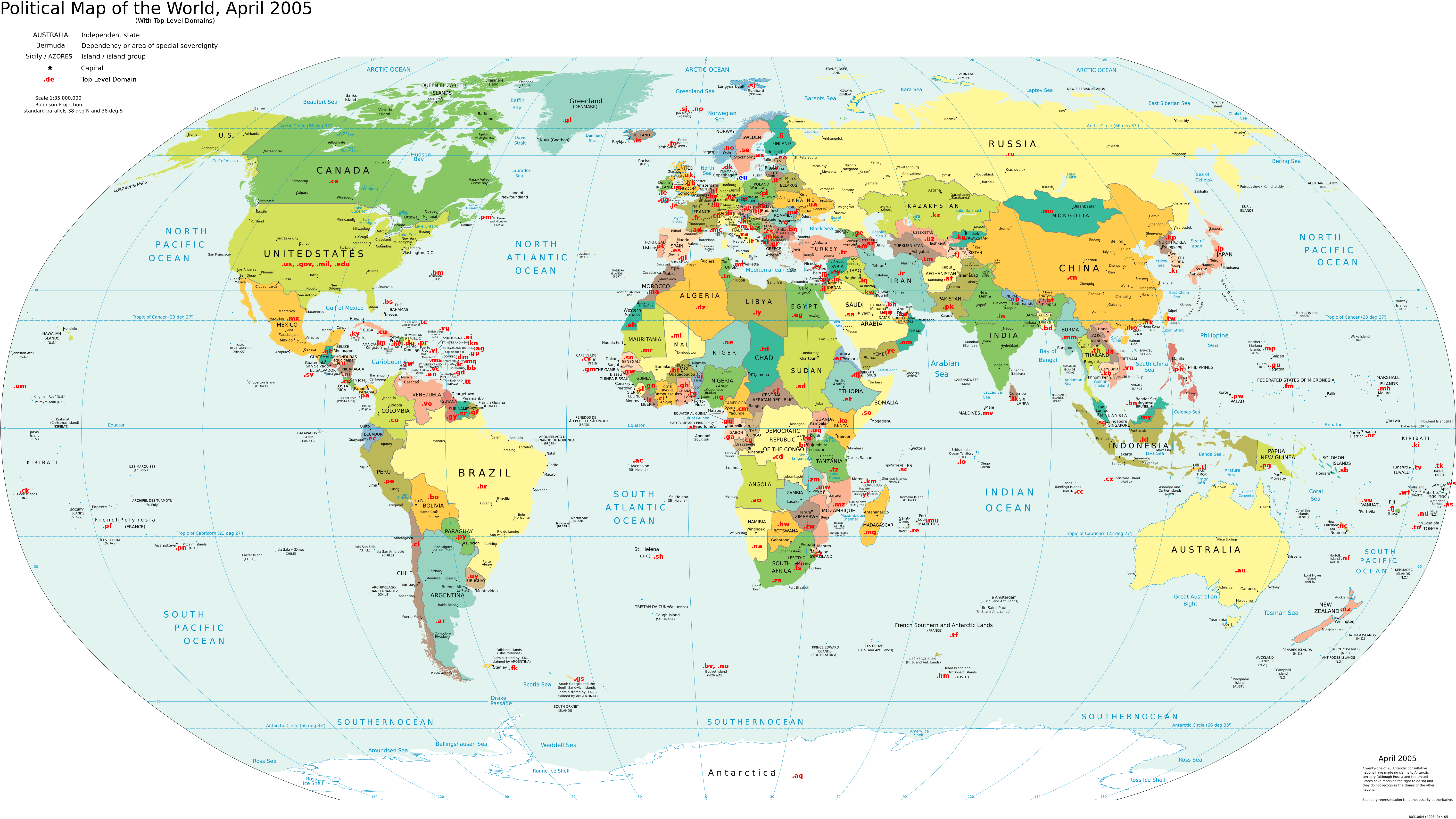
World domain extensions map
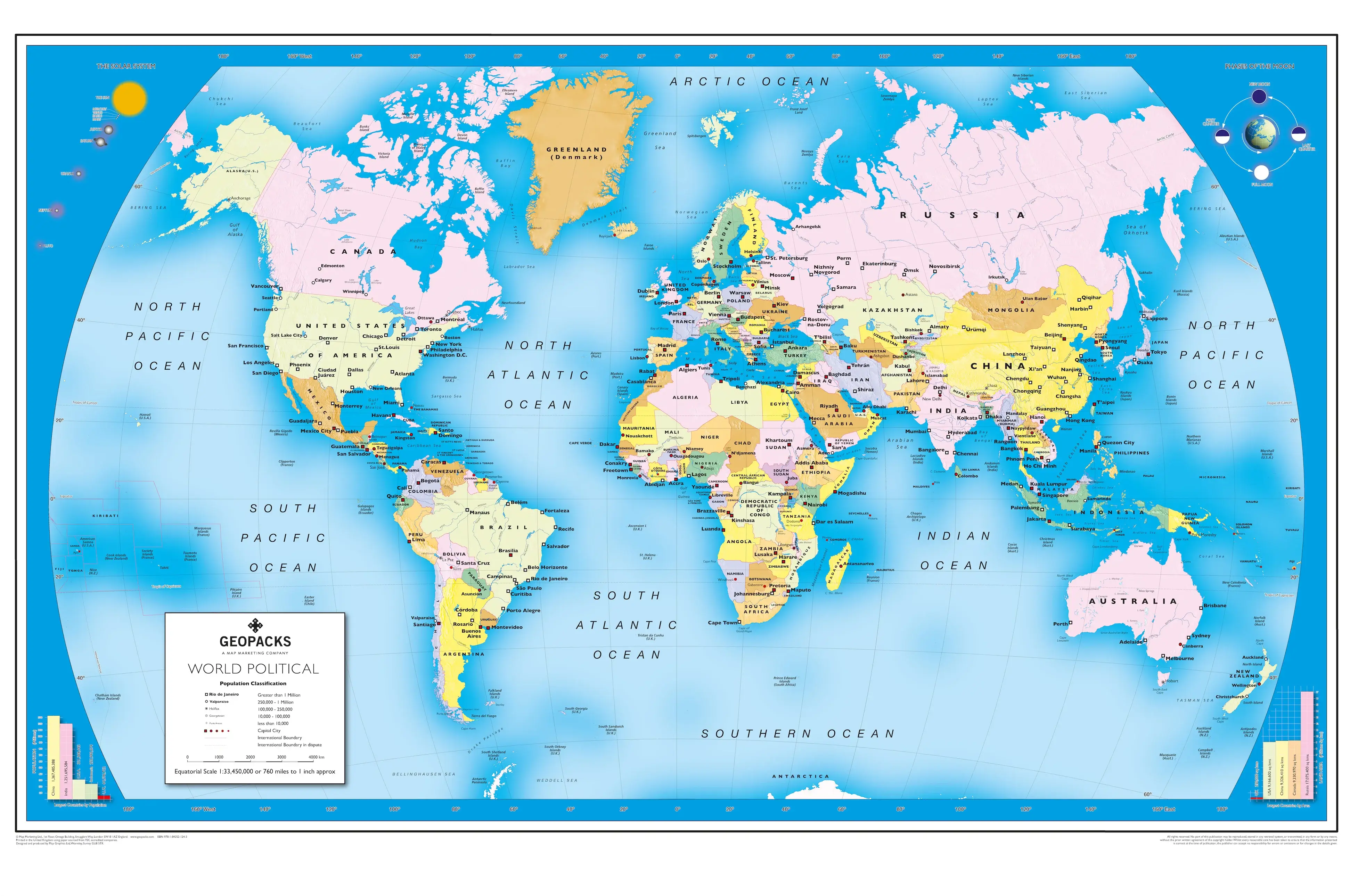
World geo politic map
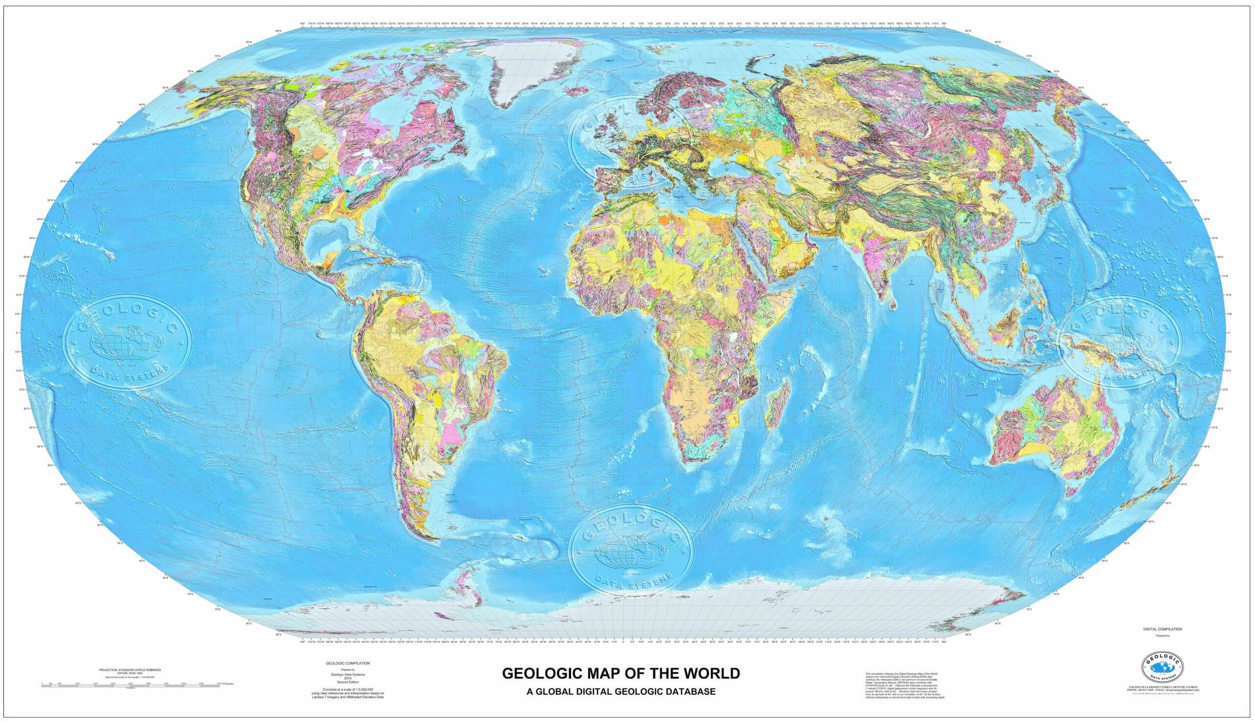
World geological map
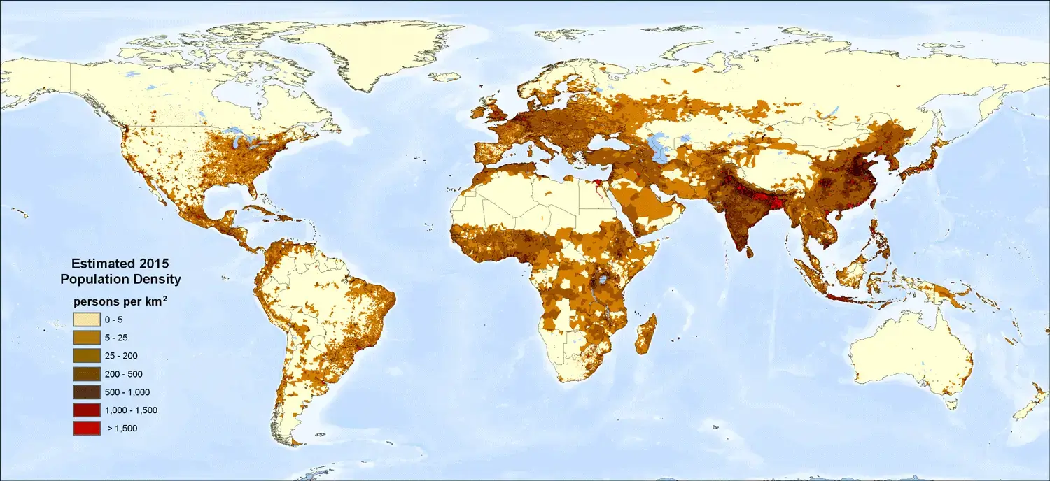
World global population density map
World globe map with longitude latitude
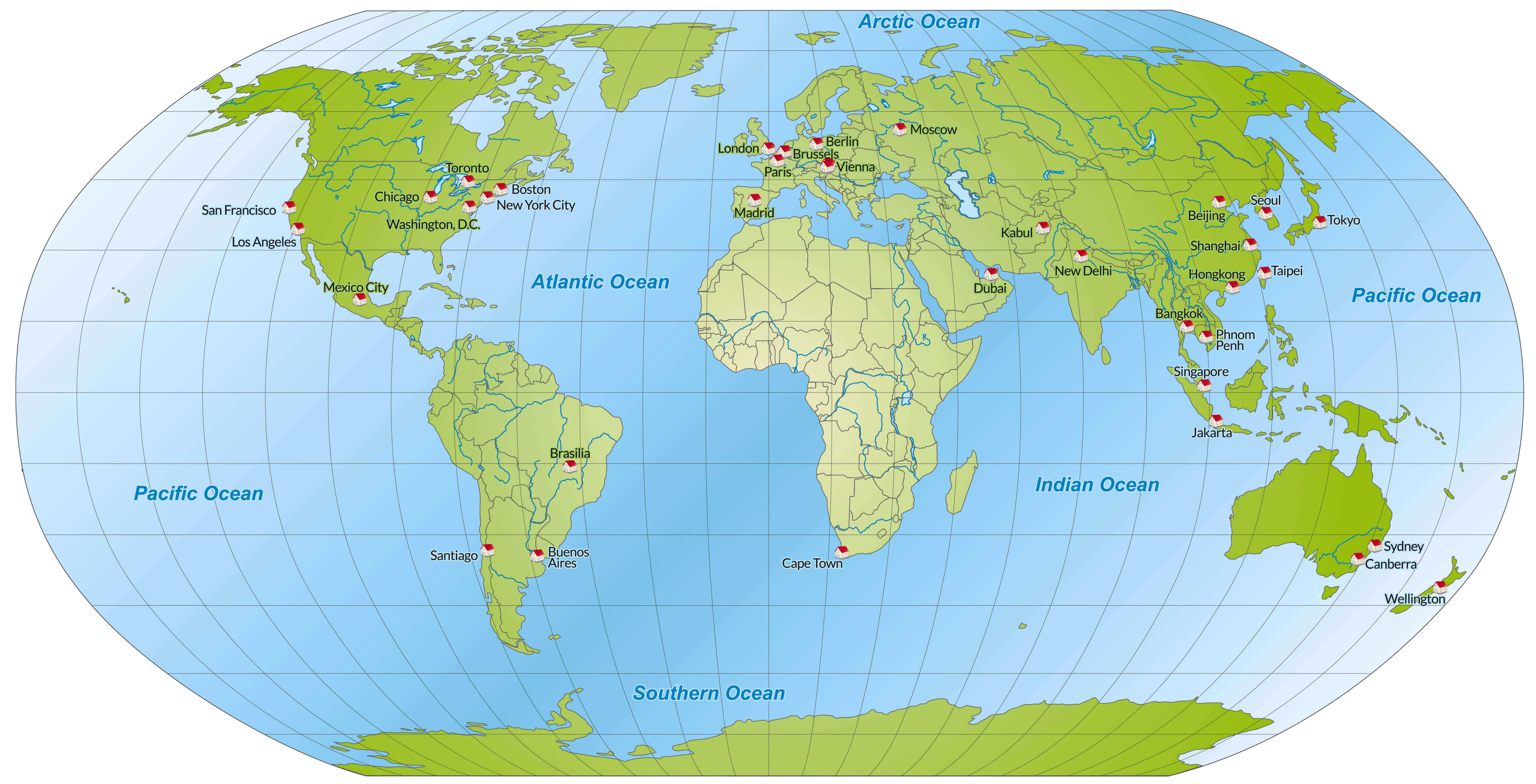
World globe map
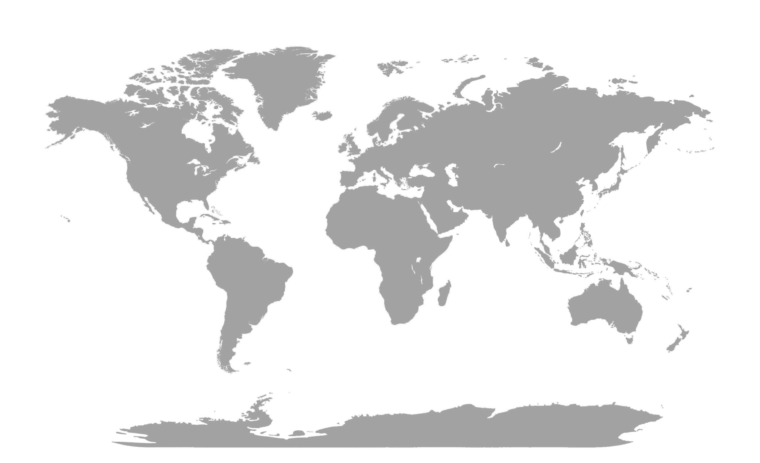
World gray blank map
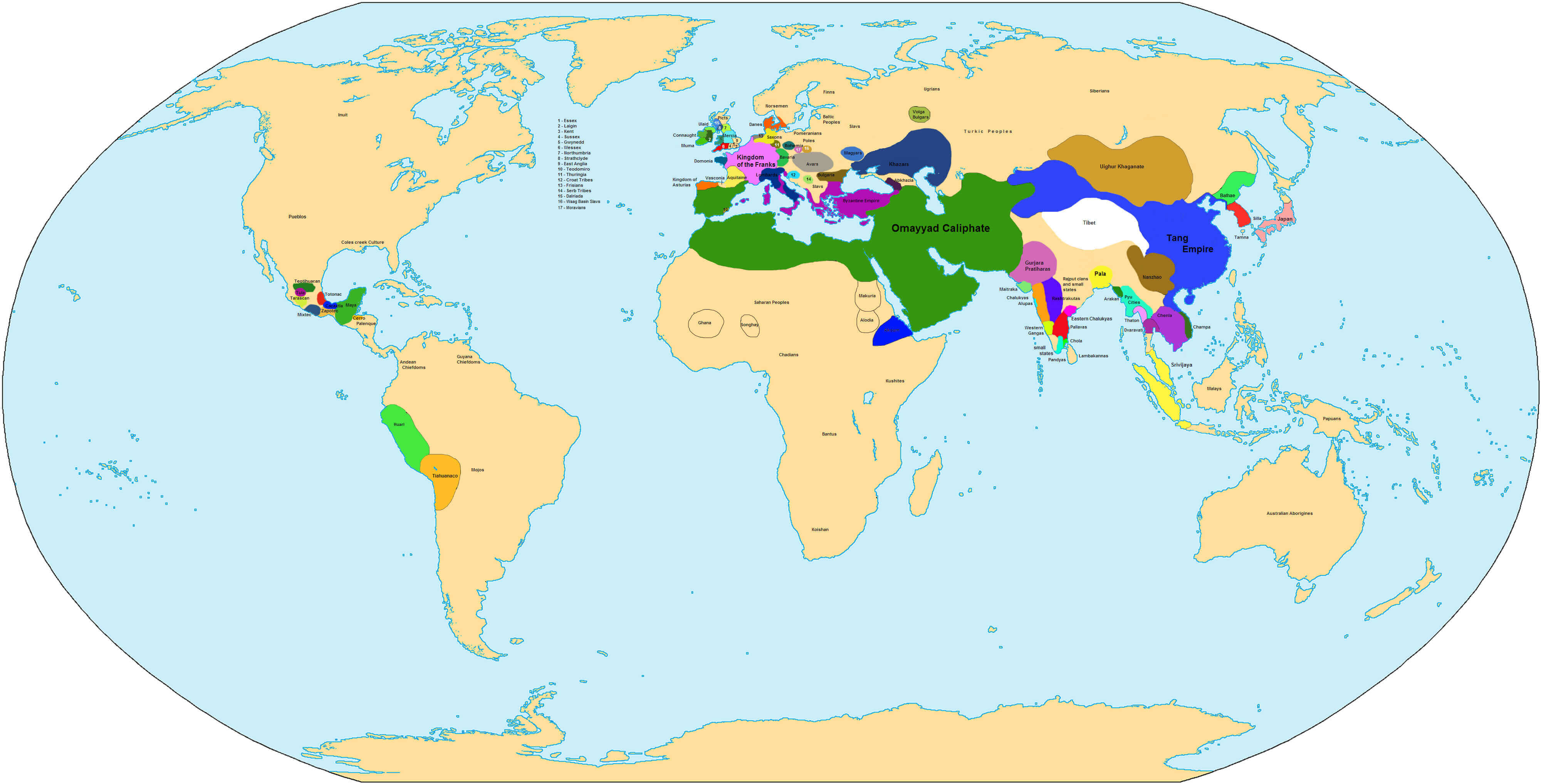
World historical map in 750
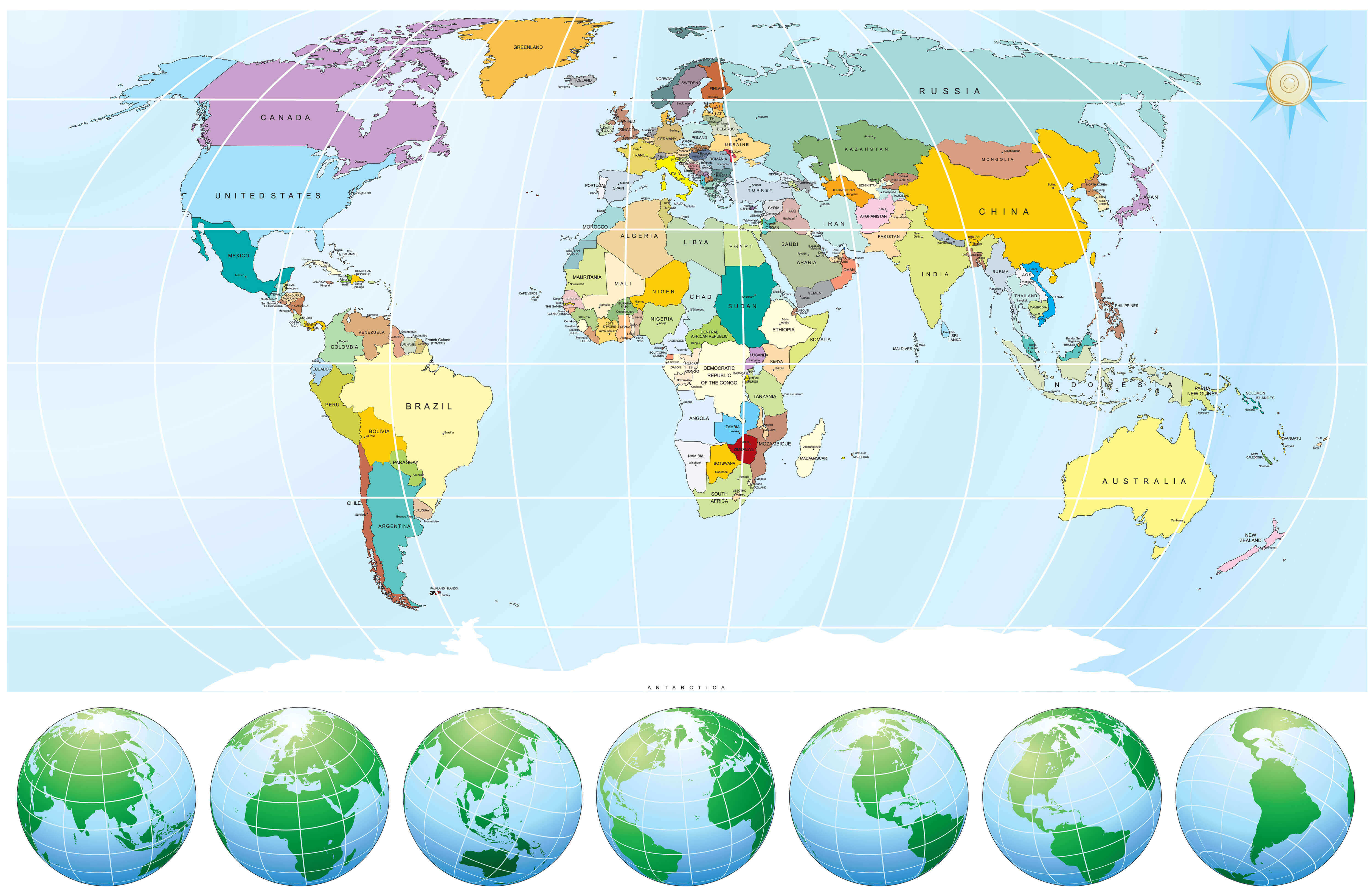
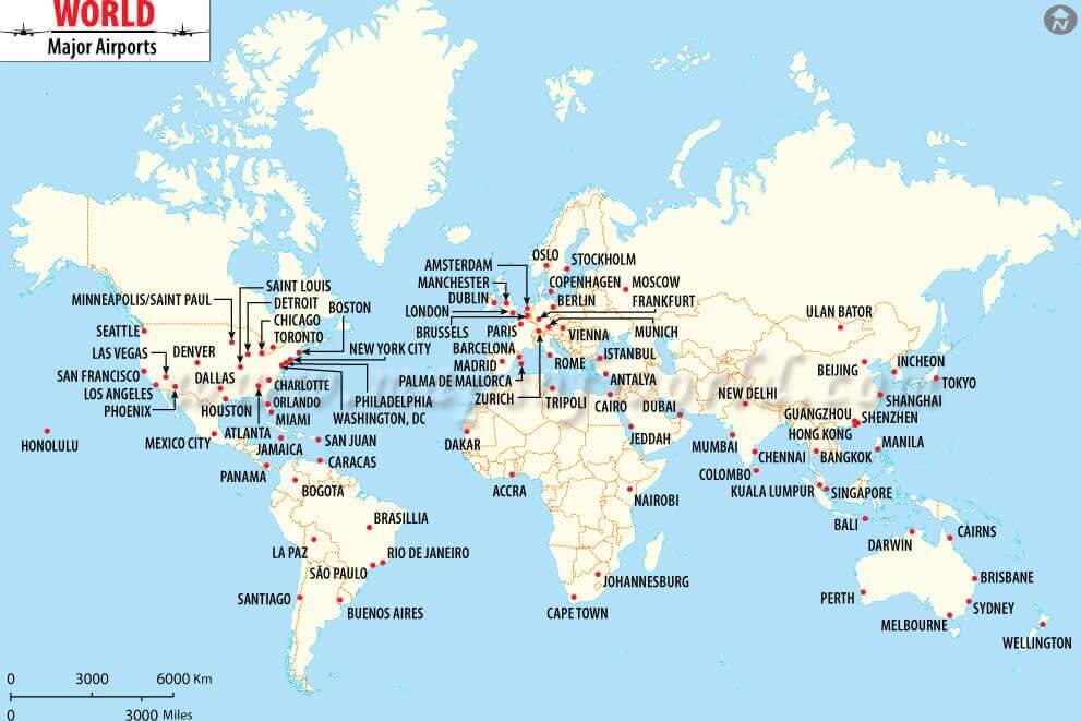
World major airports map
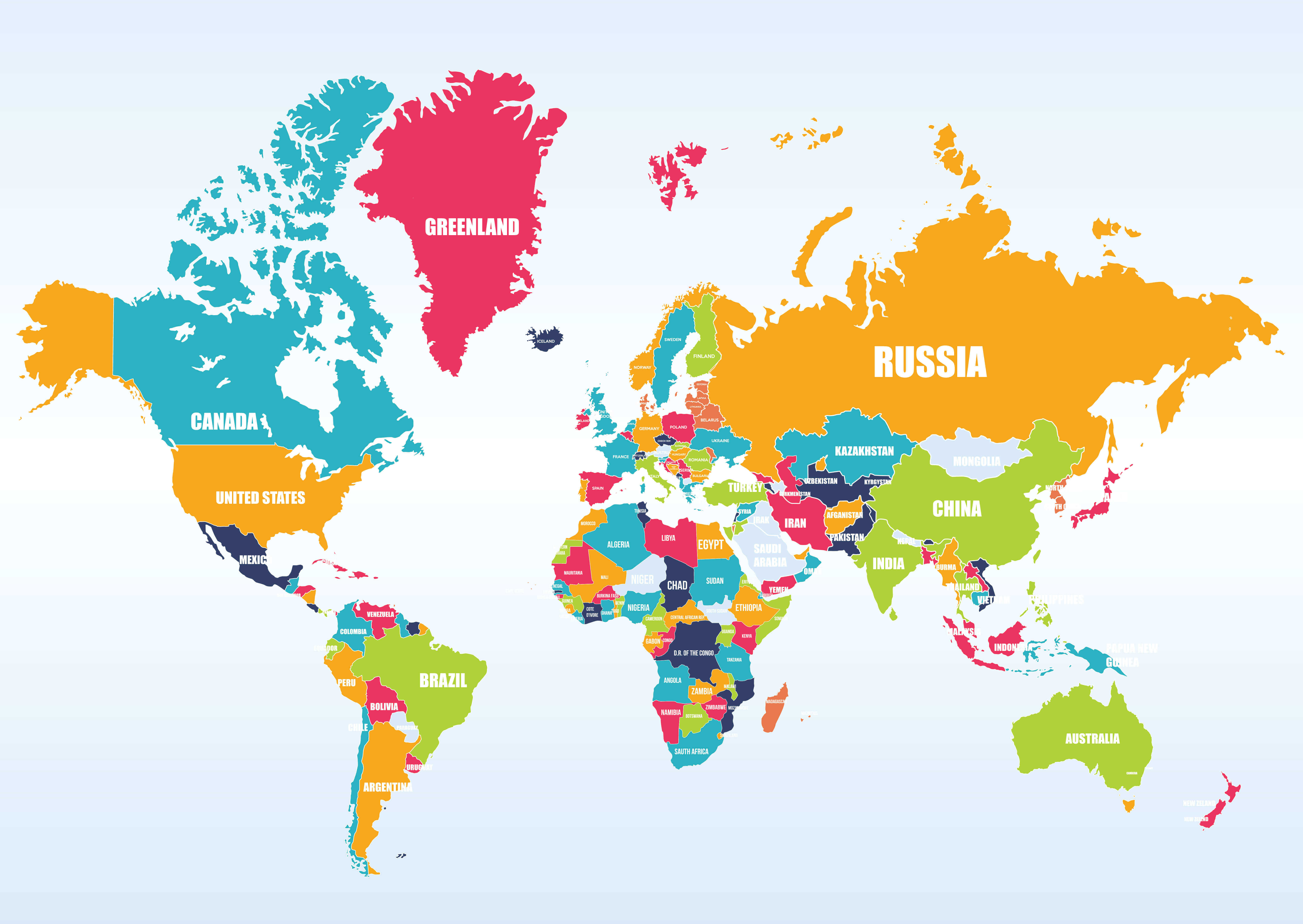
World map with countries
World map

World maps
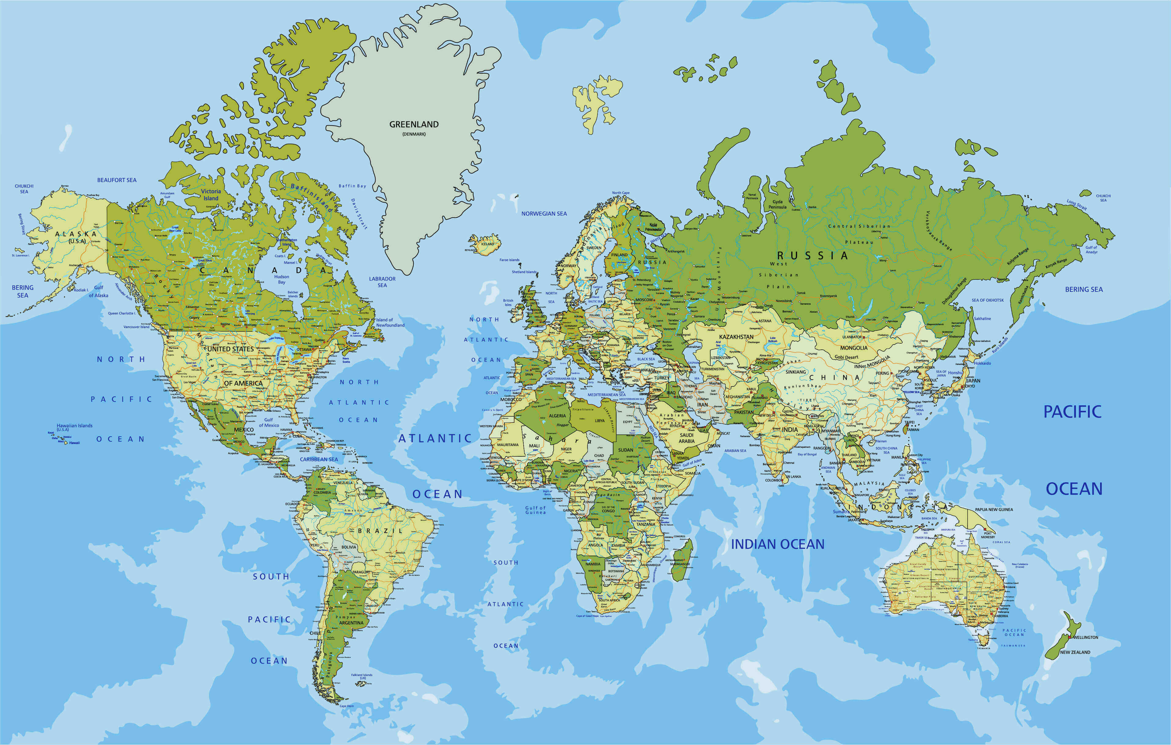
World physical map

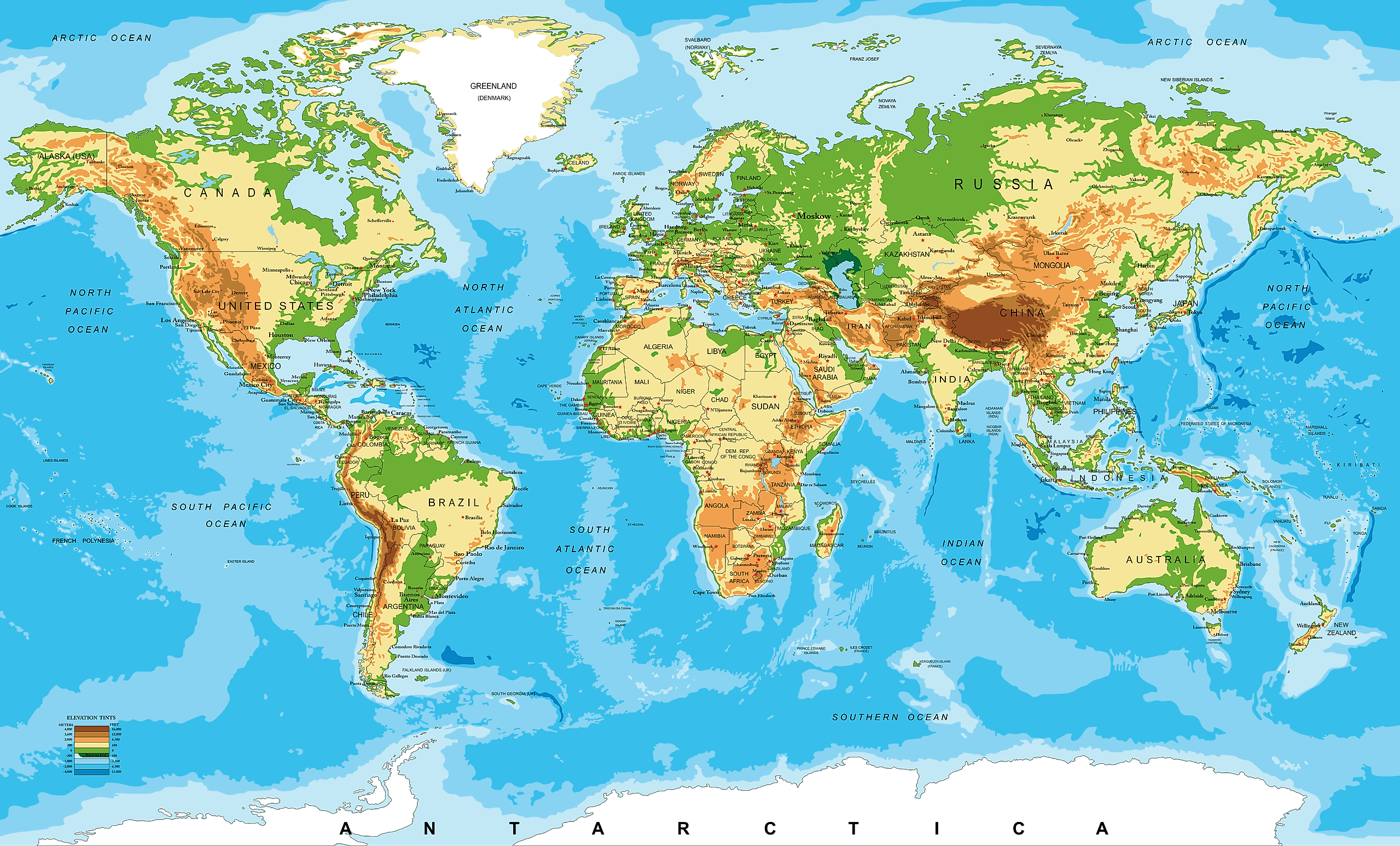
World physical map
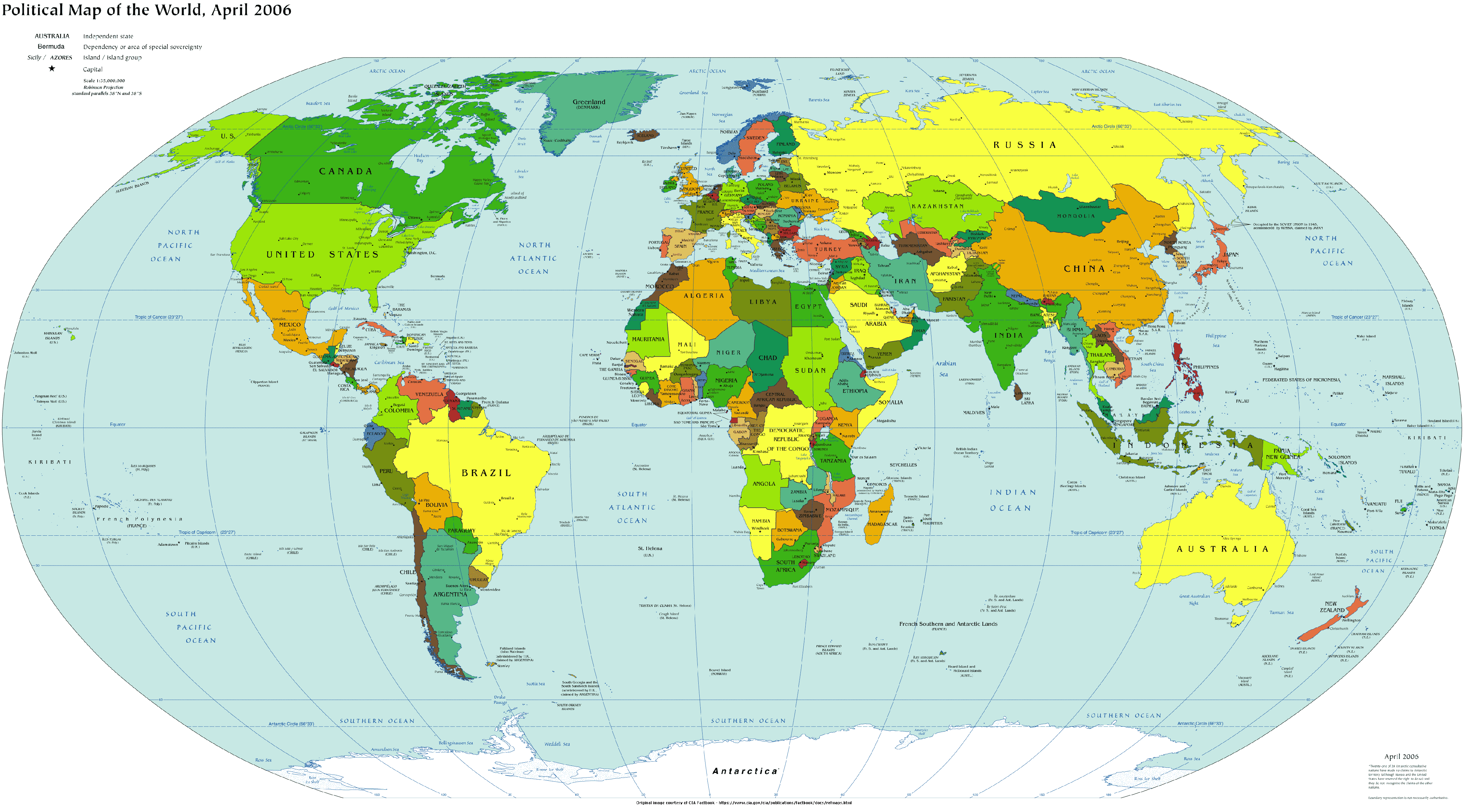
World political map in English
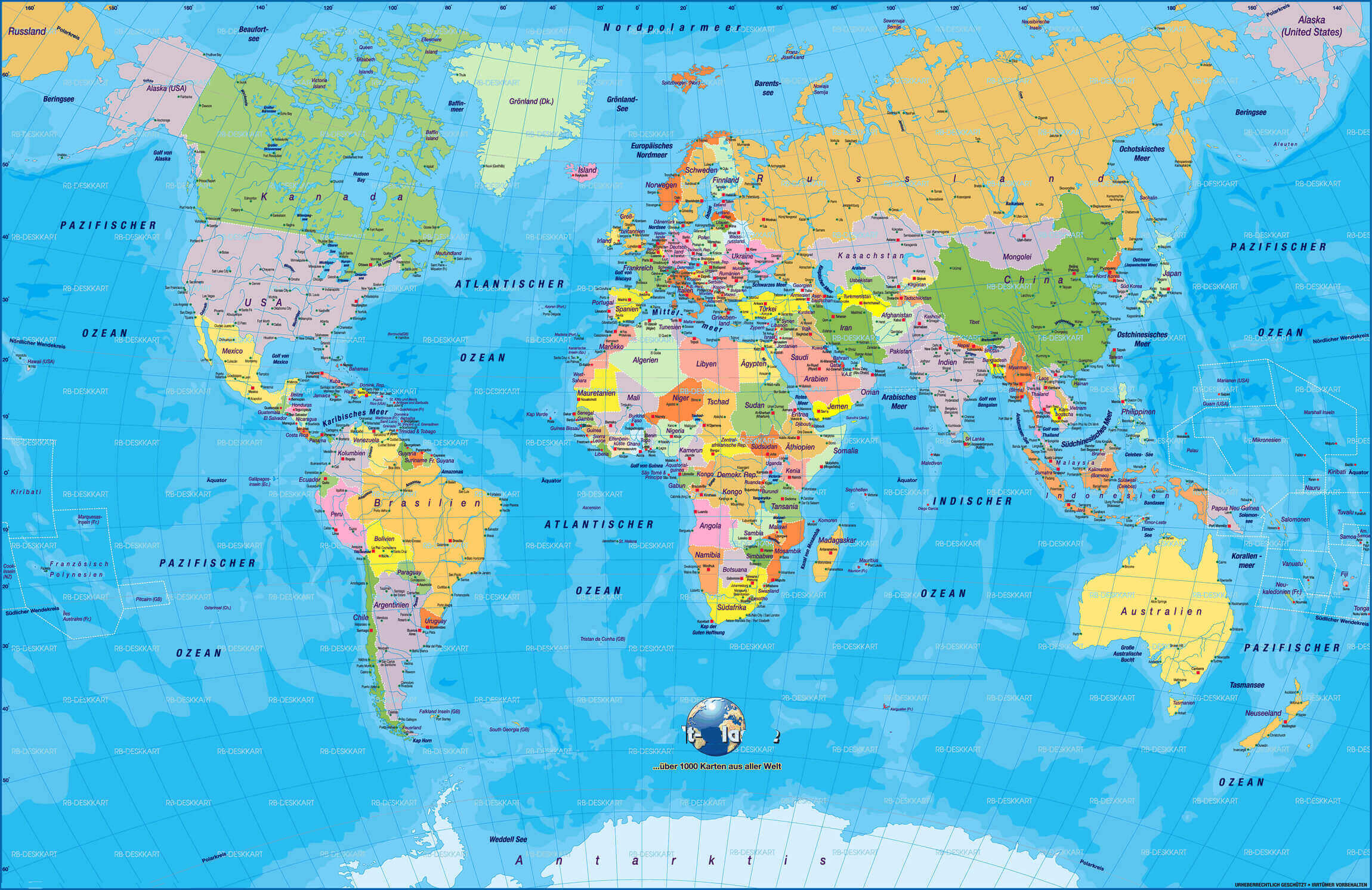
World political map in German
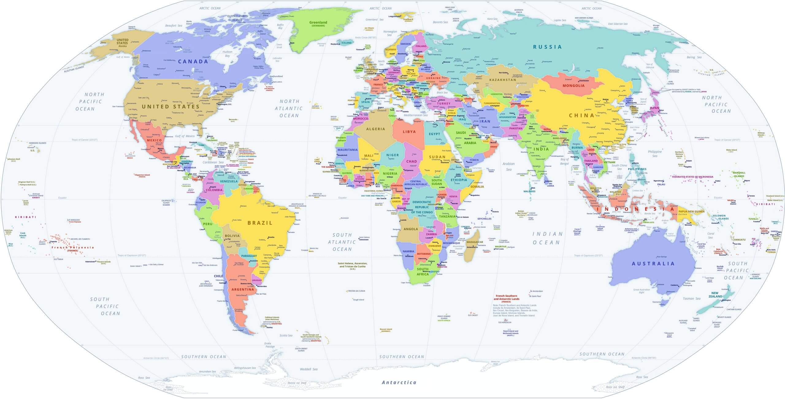
World political map
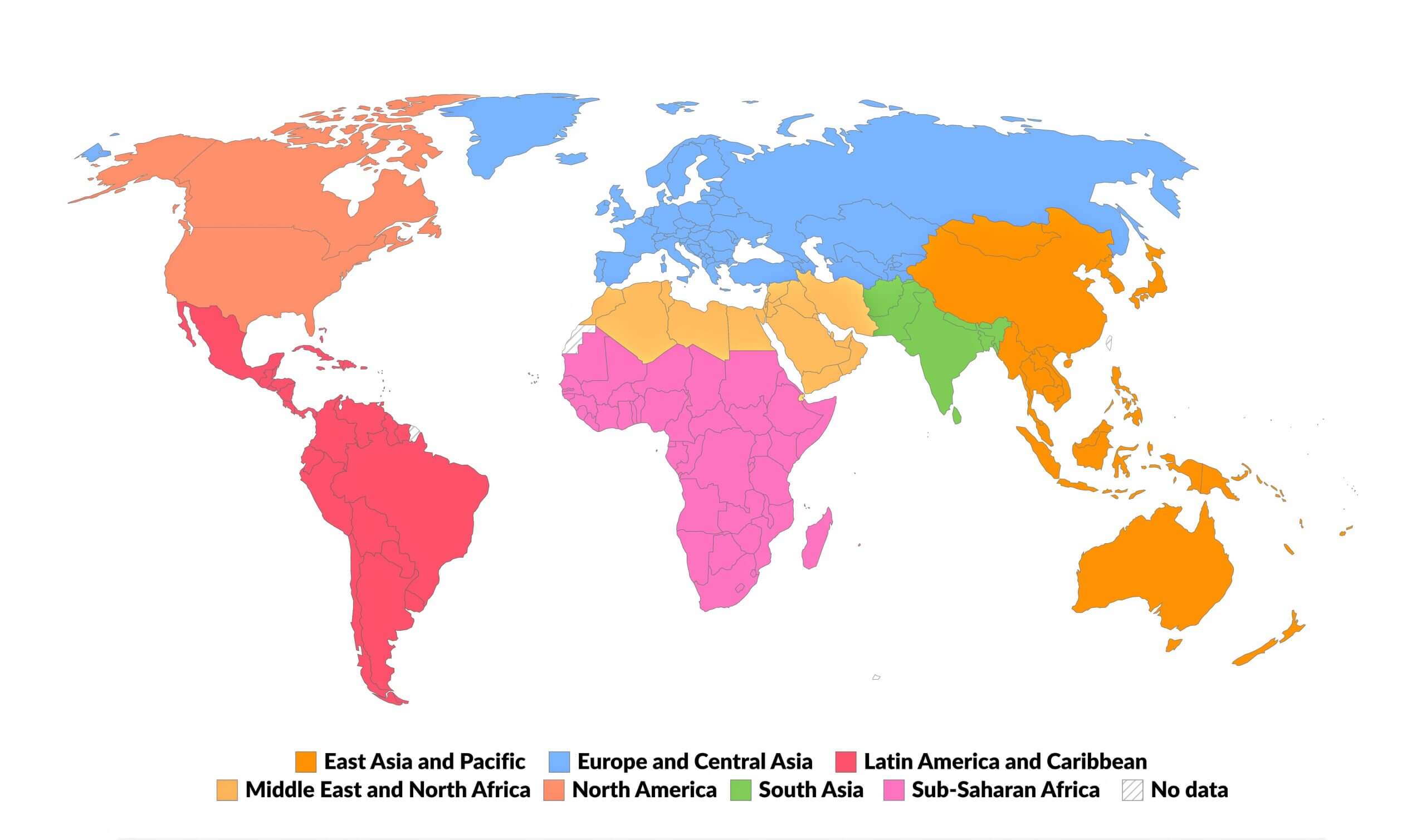
World regions map
World satellite map

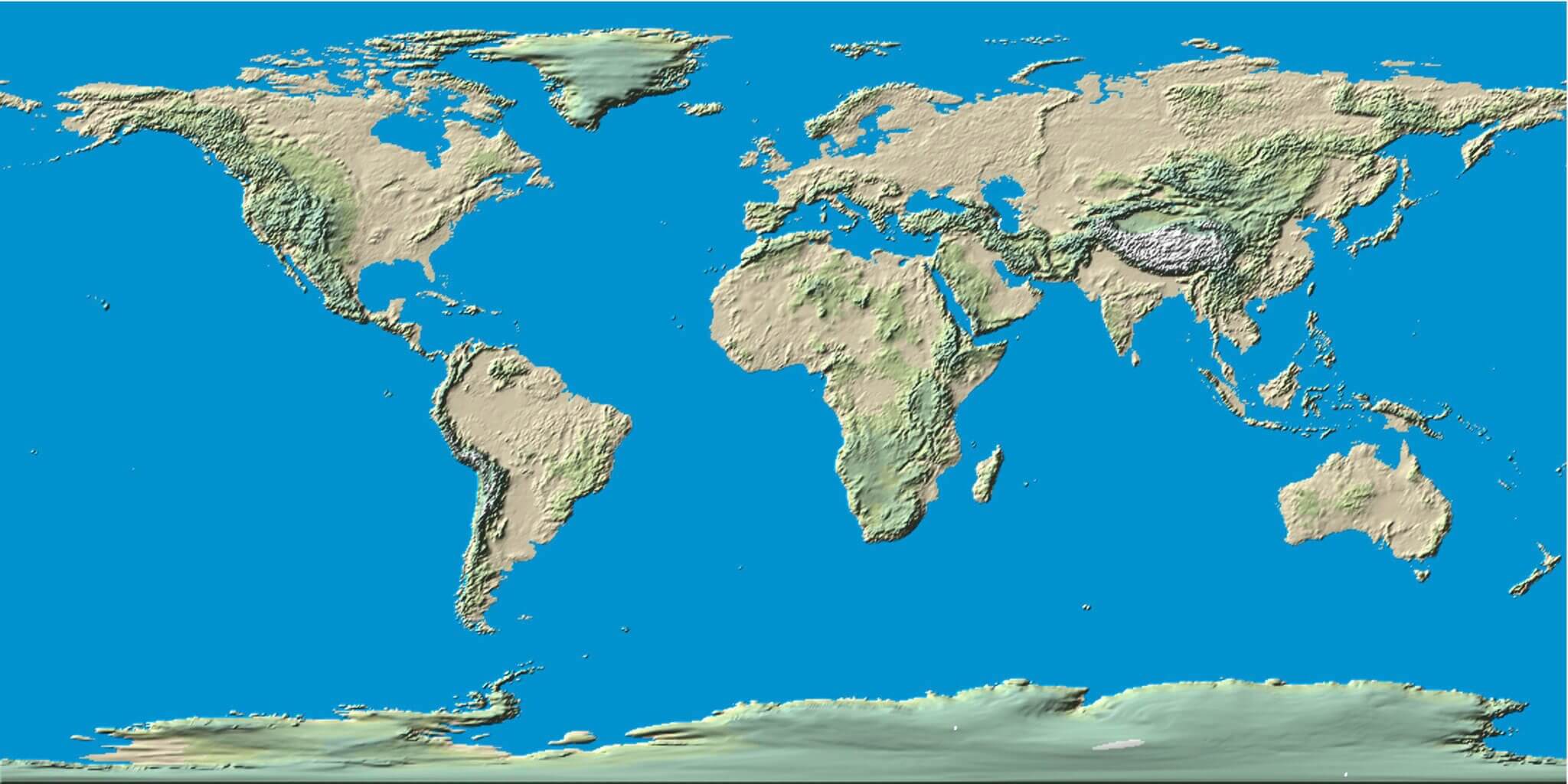
World terrain map
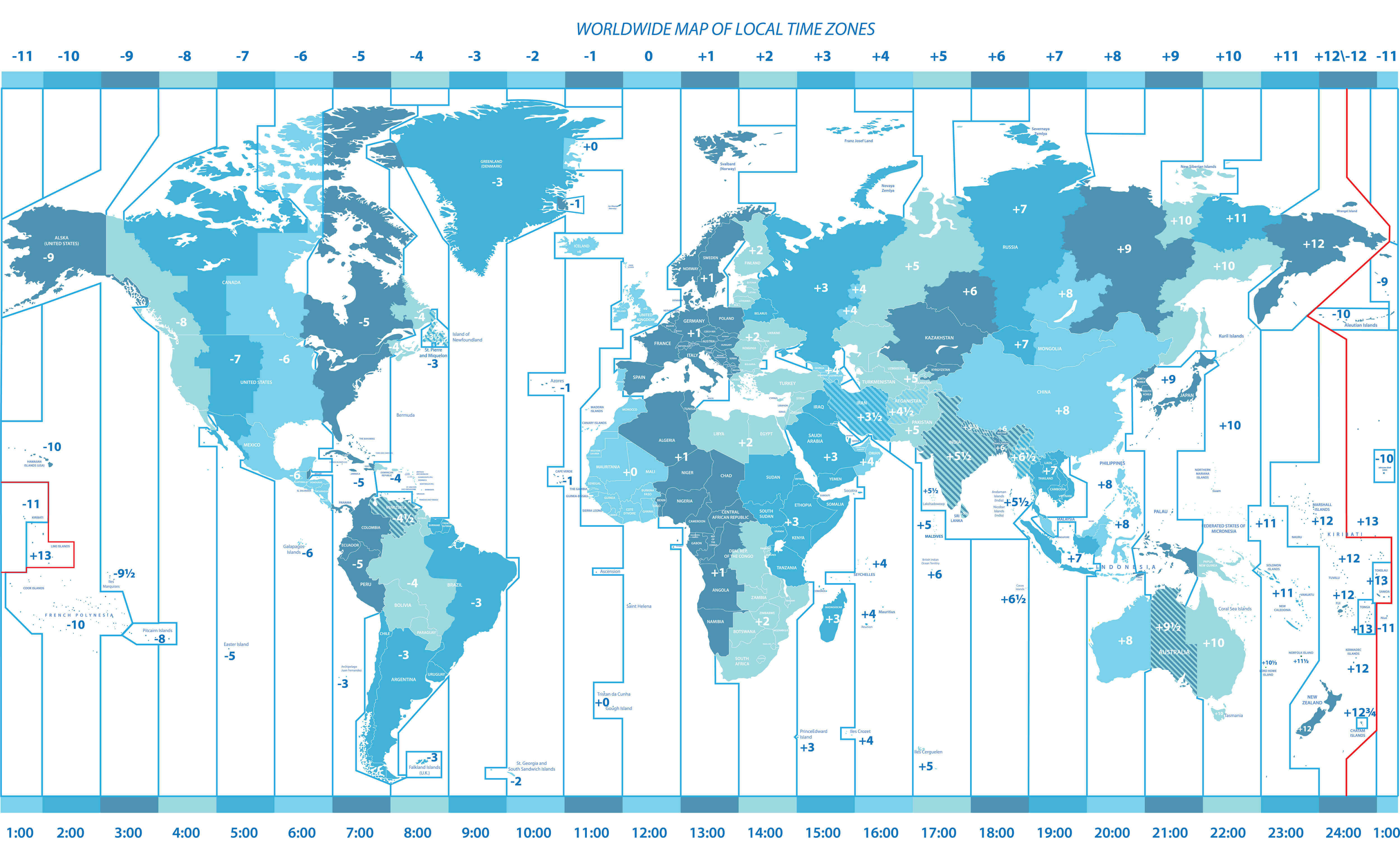
World time zones map
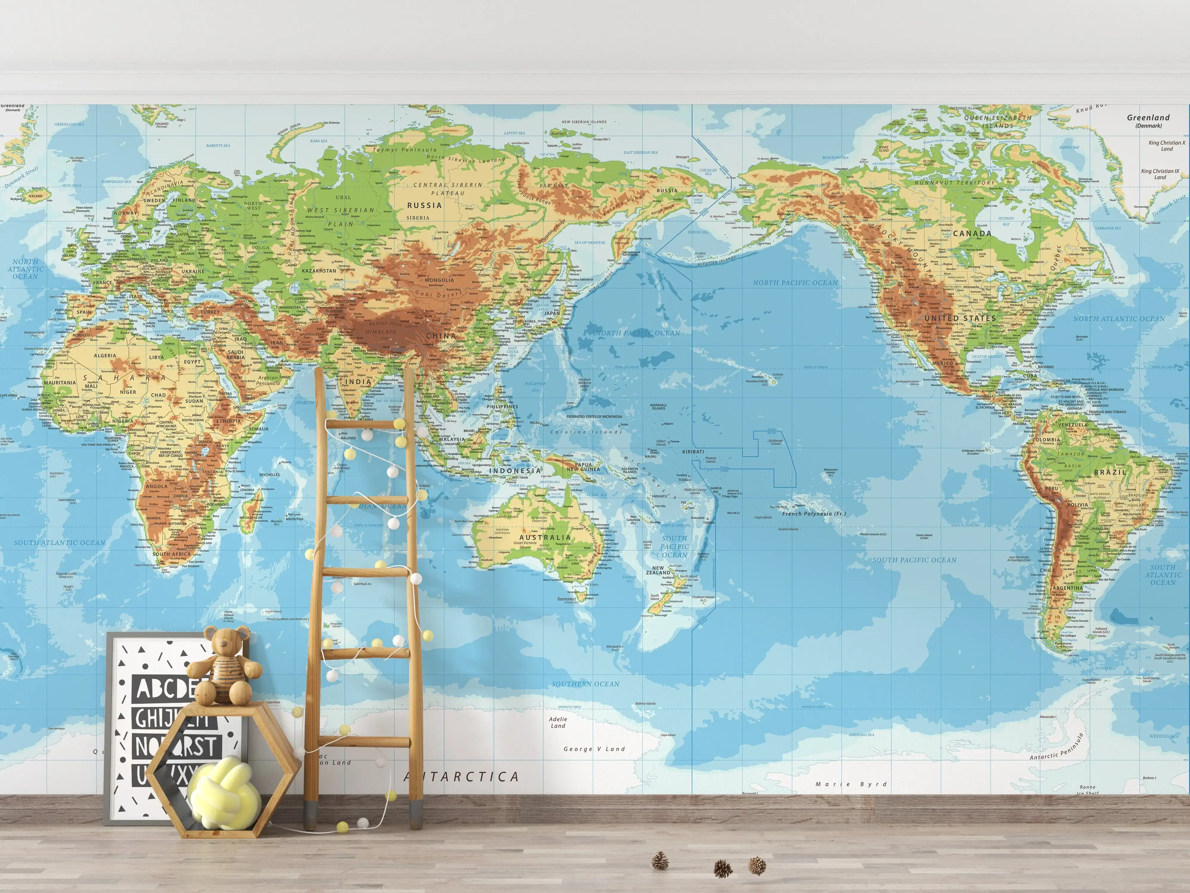
World wallpaper map Pacific view
Where are countries located in the World?
Show Google Maps and satellite maps of where the country is located.
Get directions by driving, walking, bicycling, public transportation, and travel with street view.
Feel free to explore these pages as well:
- World Map ↗️
- Political Map of the World ↗️
- World Maps ↗️
- World Maps with Countries ↗️
- More World Maps ↗️
- Map of World Countries ↗️
- World Images and Maps ↗️
- World Map ↗️
- World Time Zone Map ↗️
- World Physical Map ↗️
- World Political Map ↗️
- World Continents Map ↗️
- World Blank Map ↗️
- Explore World Satellite Map ↗️
- World Countries Map ↗️
- Free World Map ↗️
- High-Resolution World Map ↗️
- Download World Map ↗️
- Large World Map ↗️
- World Population Map ↗️
- World Wallpaper Map ↗️
- World Cities Map ↗️
- A Collection of the World Maps ↗️
- World Region Map ↗️
- Advertisement -
