- Advertisement -
Discover a wide range of world geography maps, from detailed physical and topography maps to colorful atlas versions and printable wall maps. Explore maps with latitude and longitude, relief and soil maps, bathymetry charts, and even geological references. Ideal for students, researchers, and travelers, these global geographical maps offer clear insights into Earth’s landscapes and regions.
Geographical map of the World
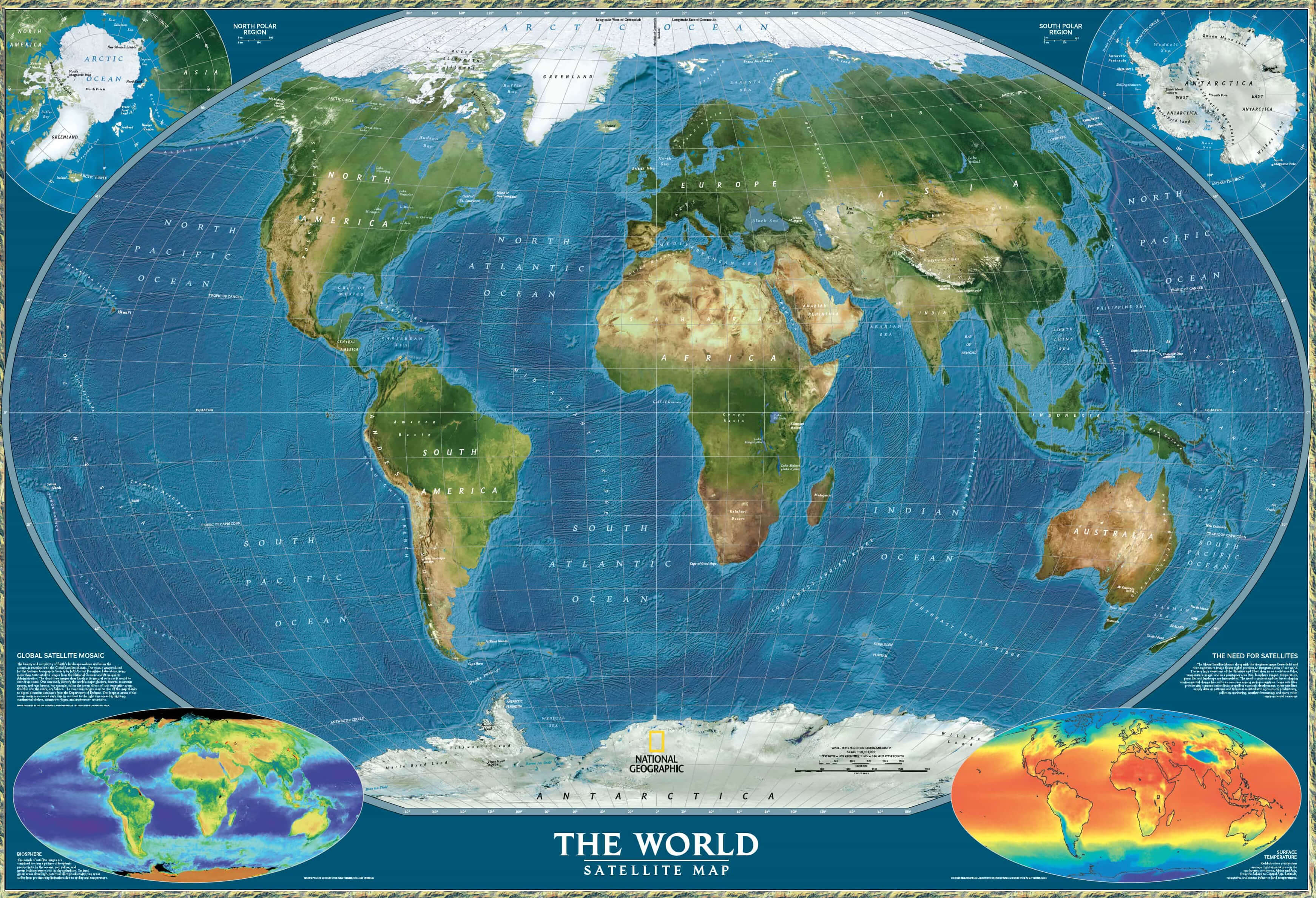
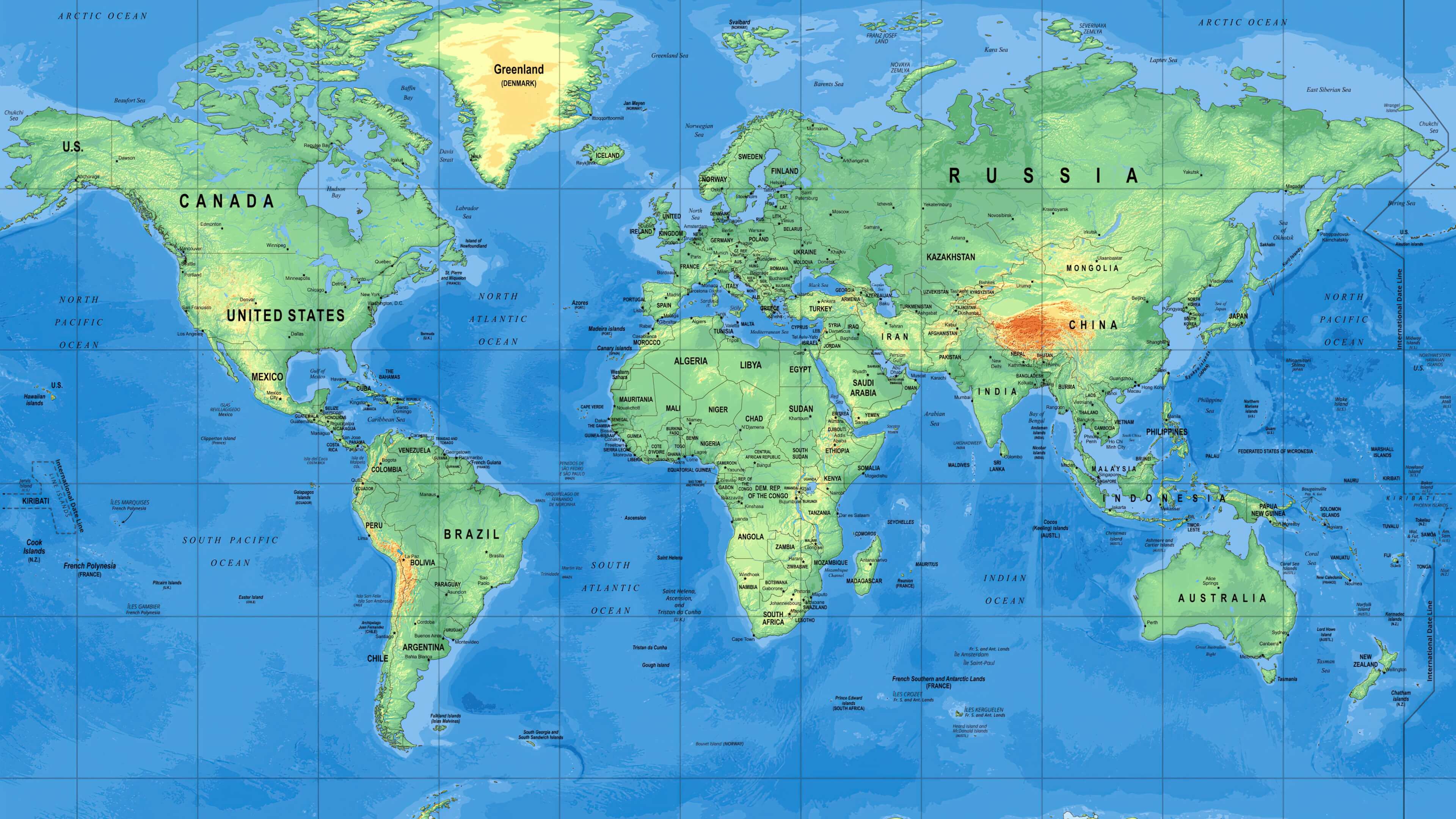
Geography Map of the World with Latitude and Longitude
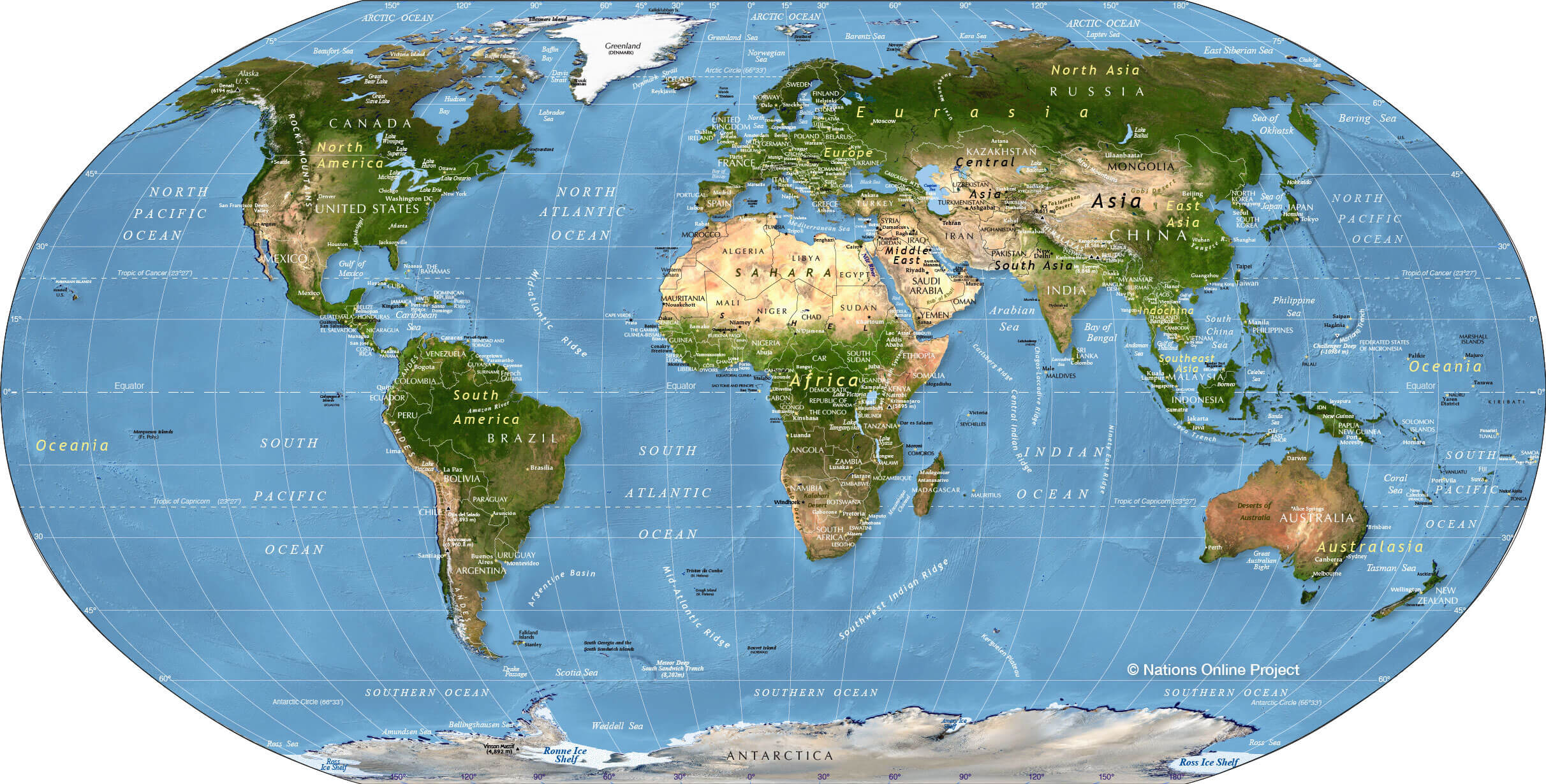 World geography map showing countries with latitude and longitude lines.
Geography map of the World
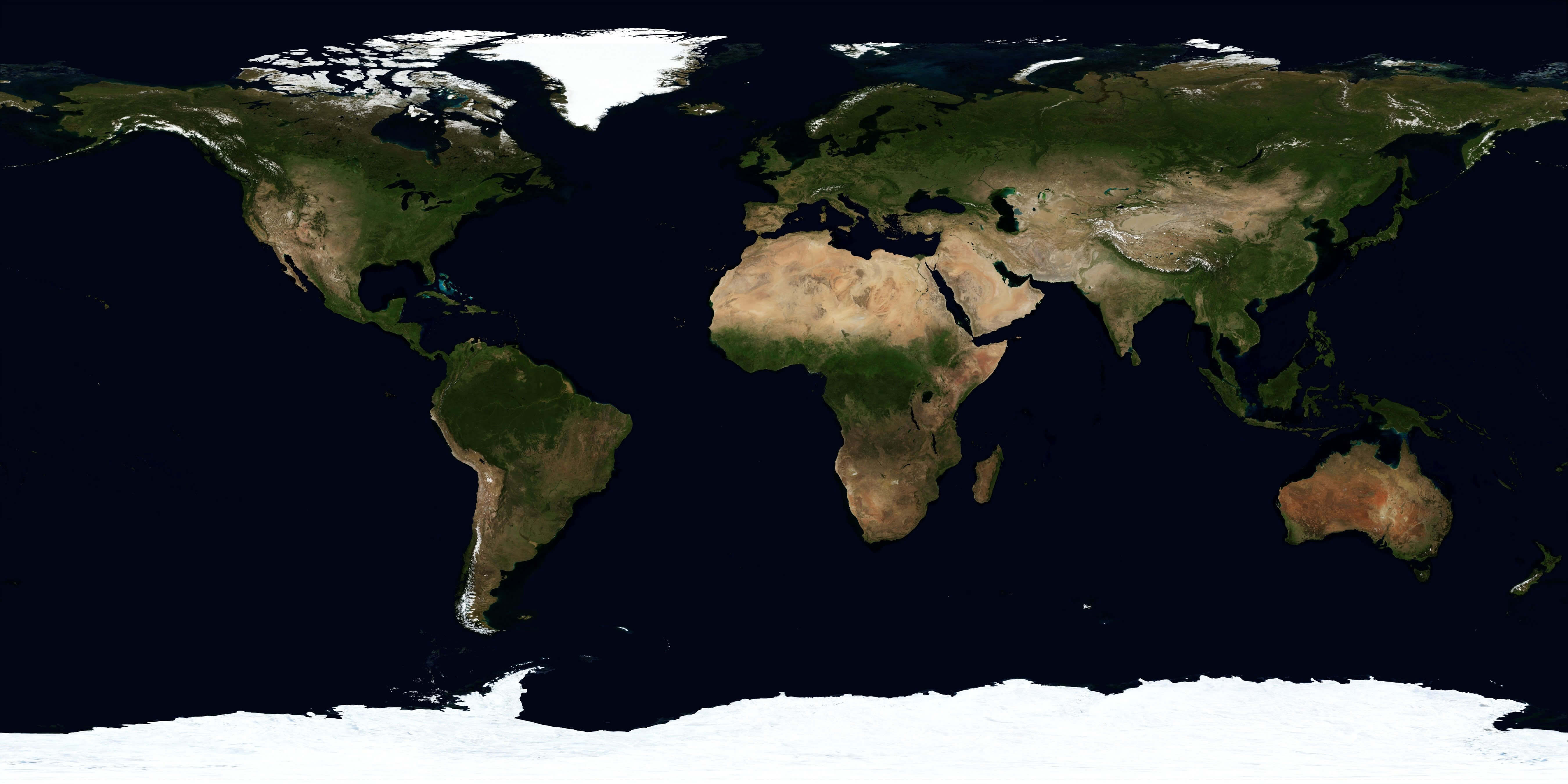
Large World geography map
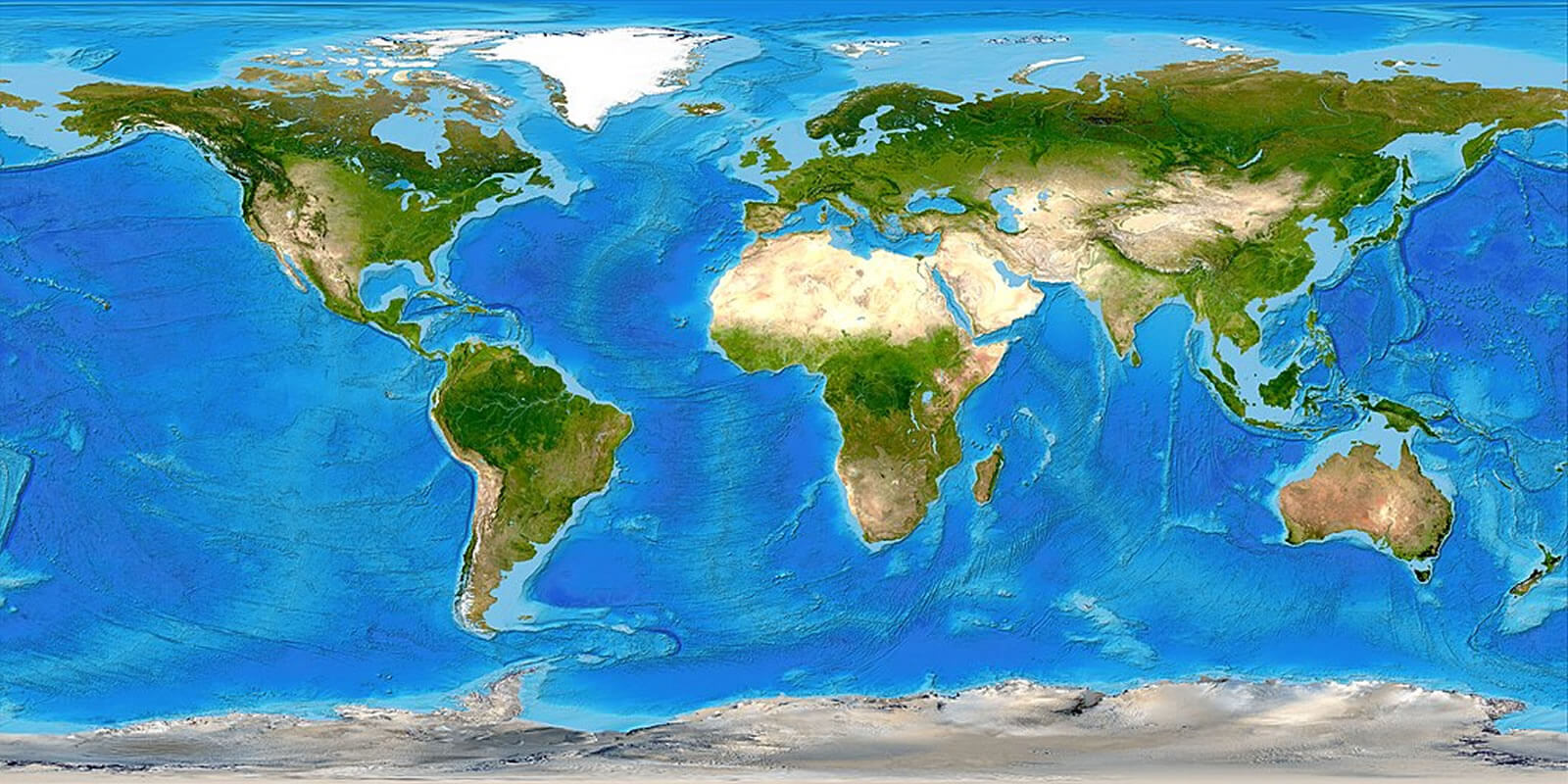
Map colorful geographical map of the World
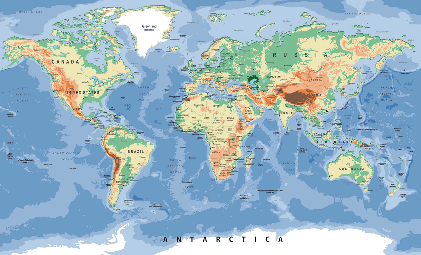
Printable World physical and geographical map
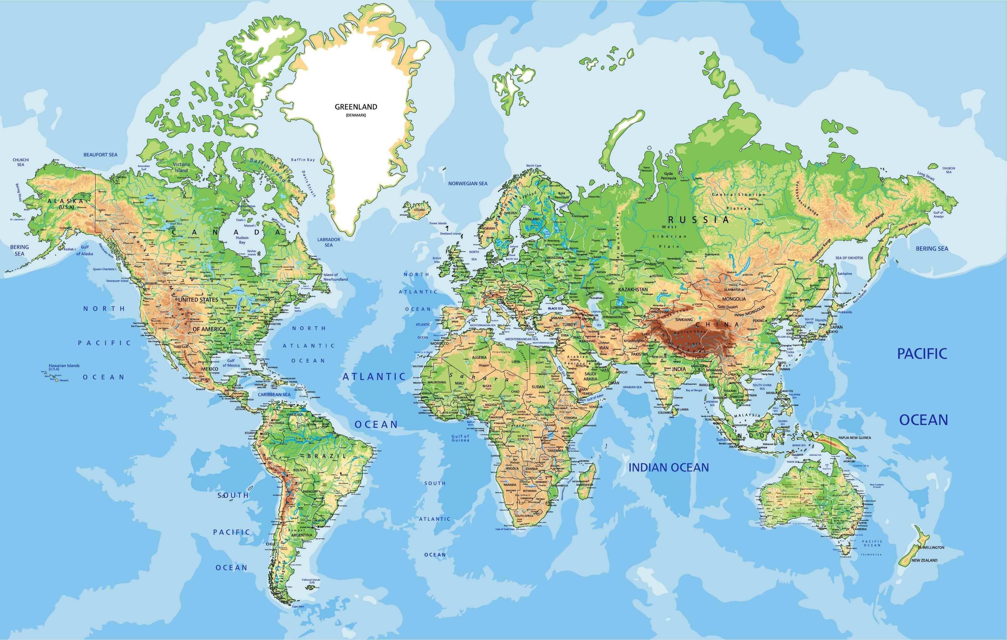
World geographic map
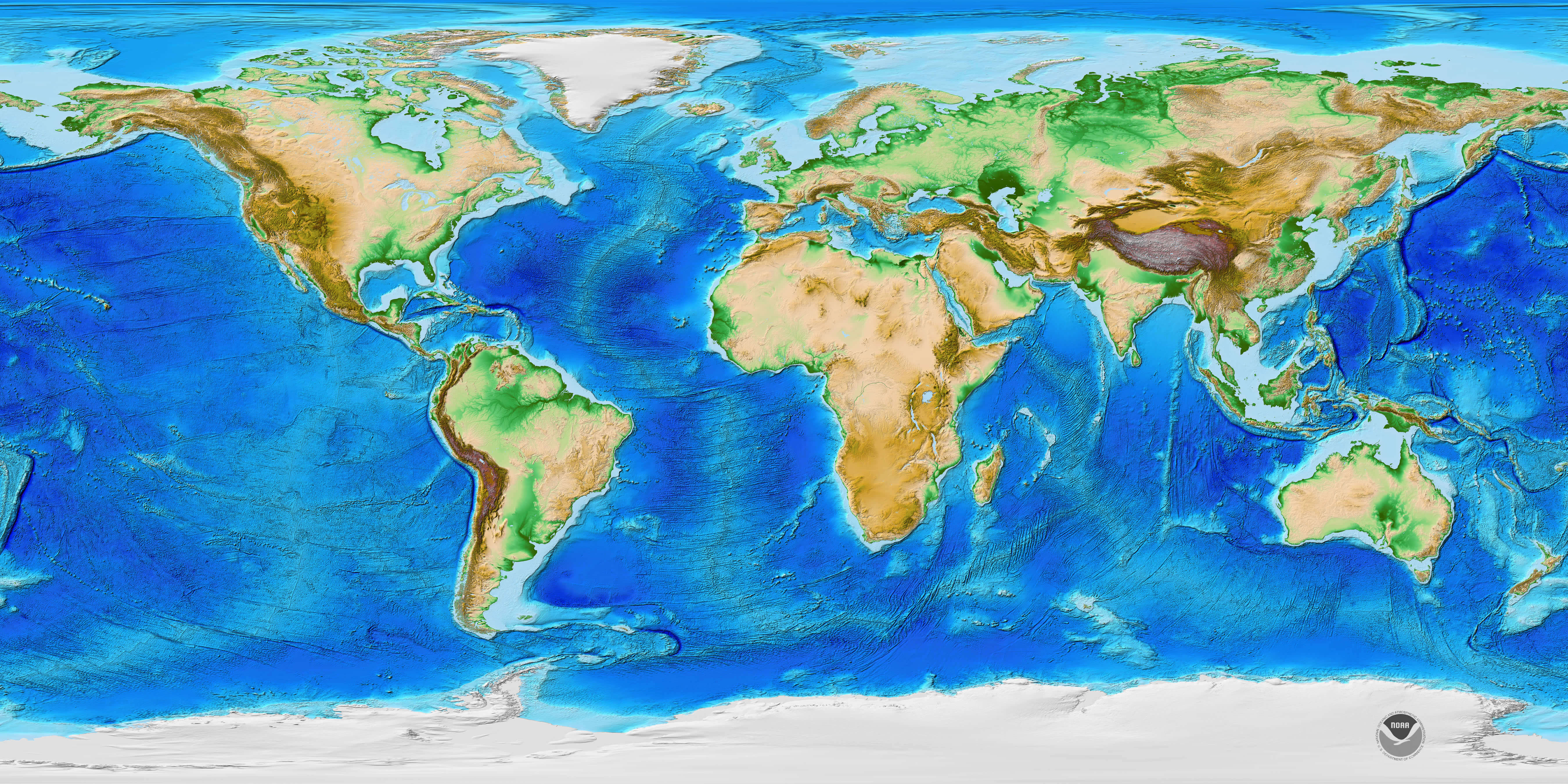
World geography and topography map
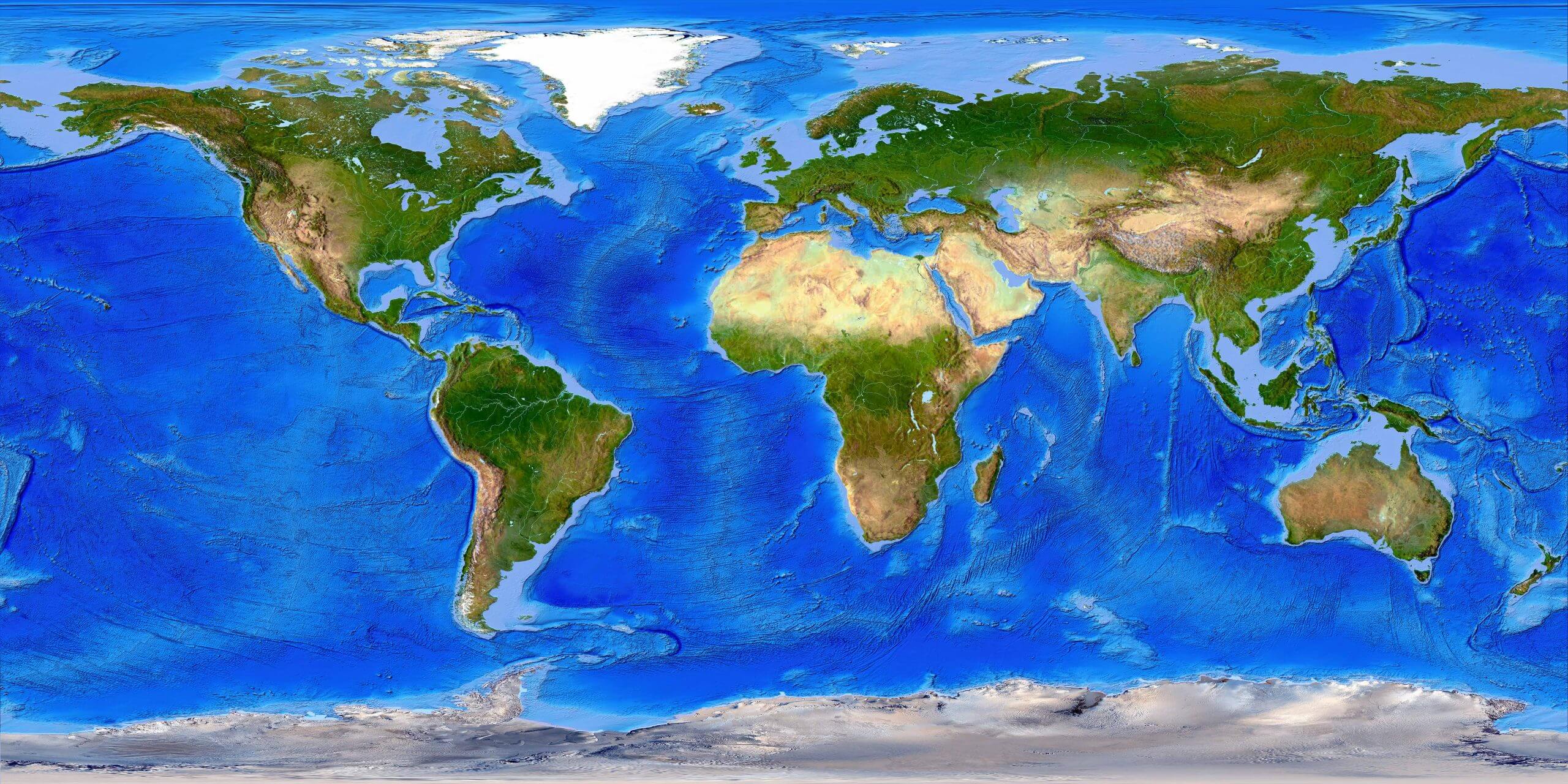
World geography atlas map
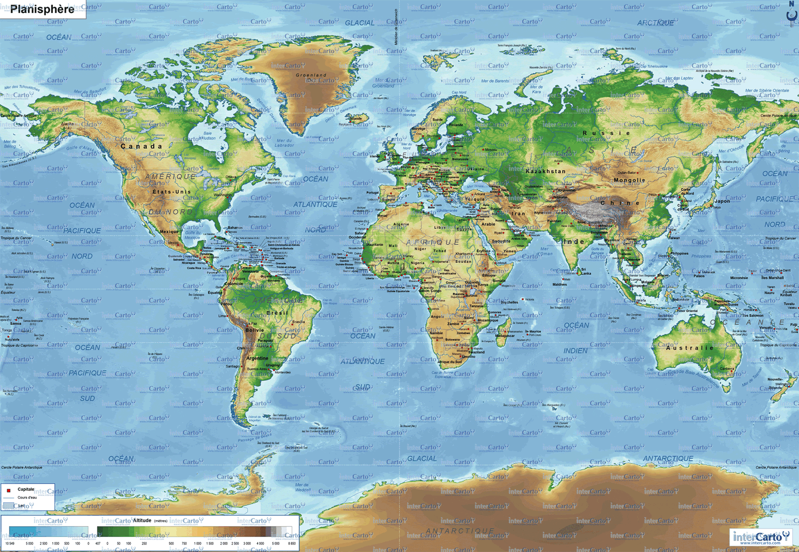
World geography map in french language
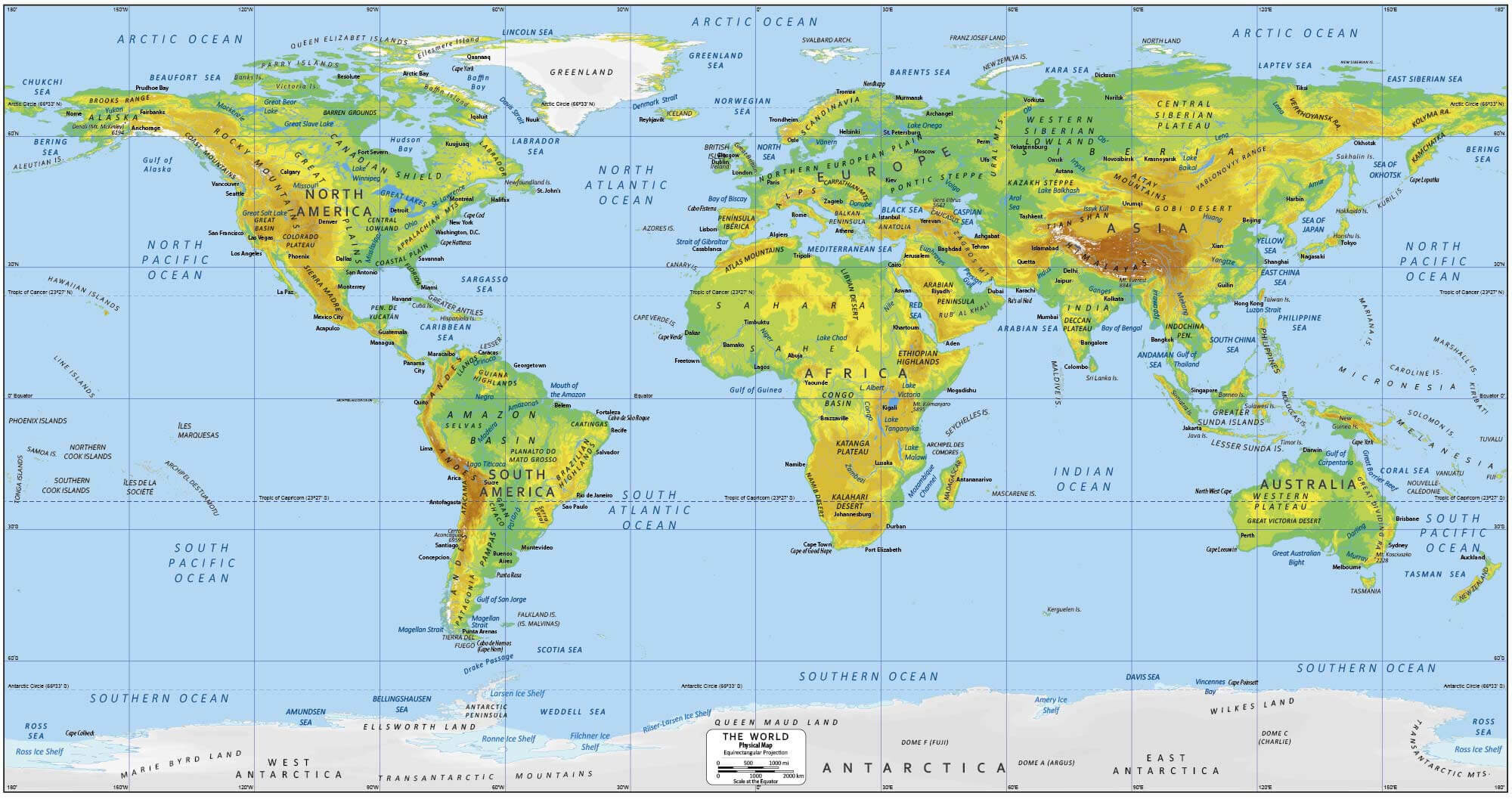
World geography map
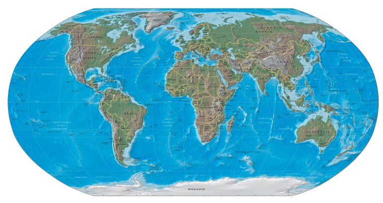
World geography relief map
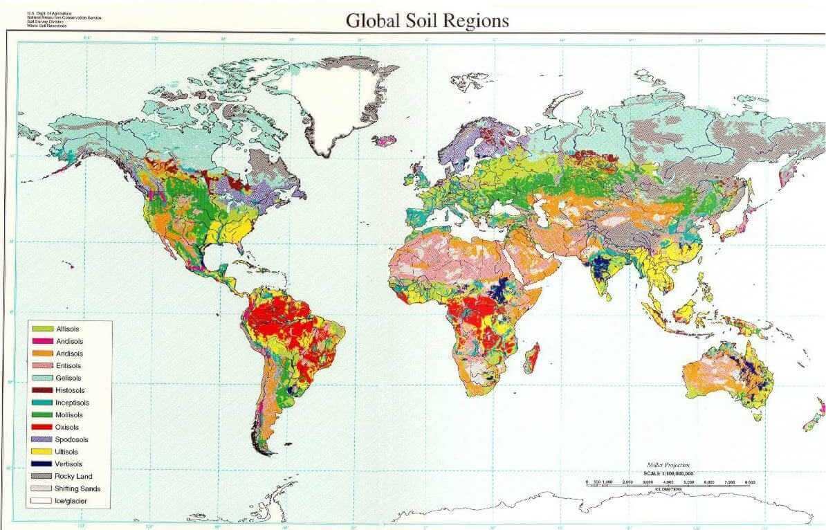
World geography soil map
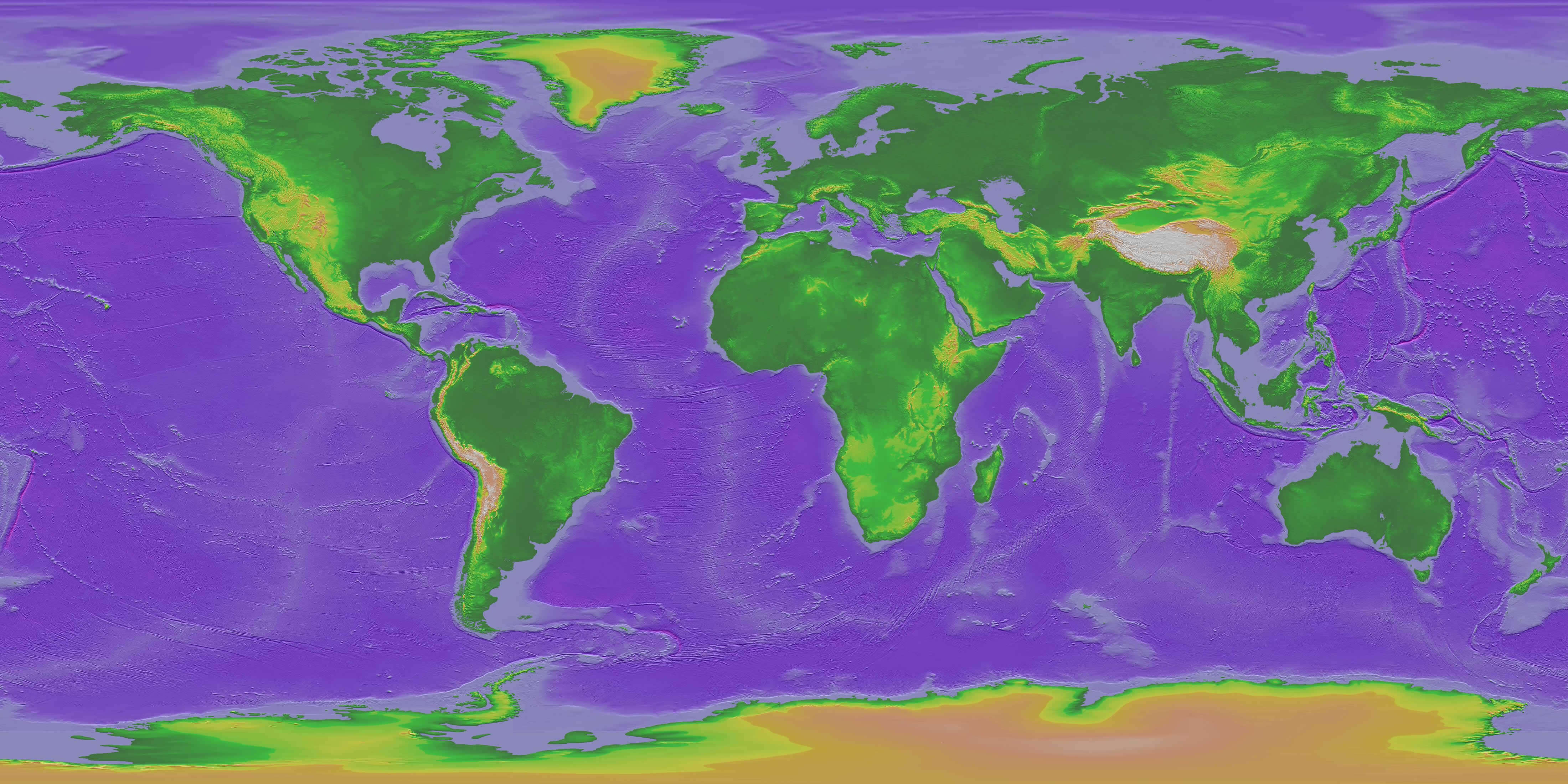
World geography topography bathymetry map
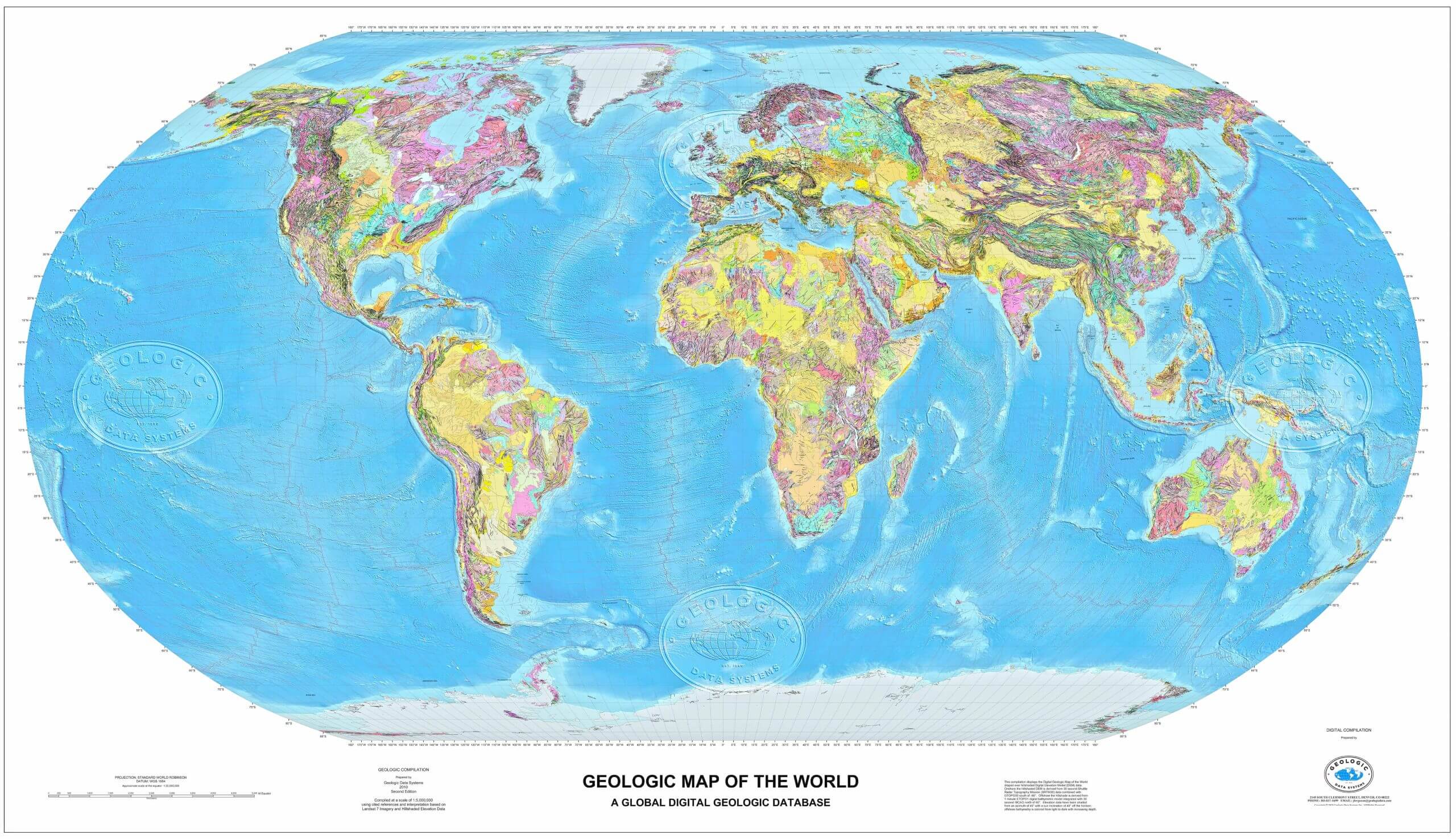
World geological map
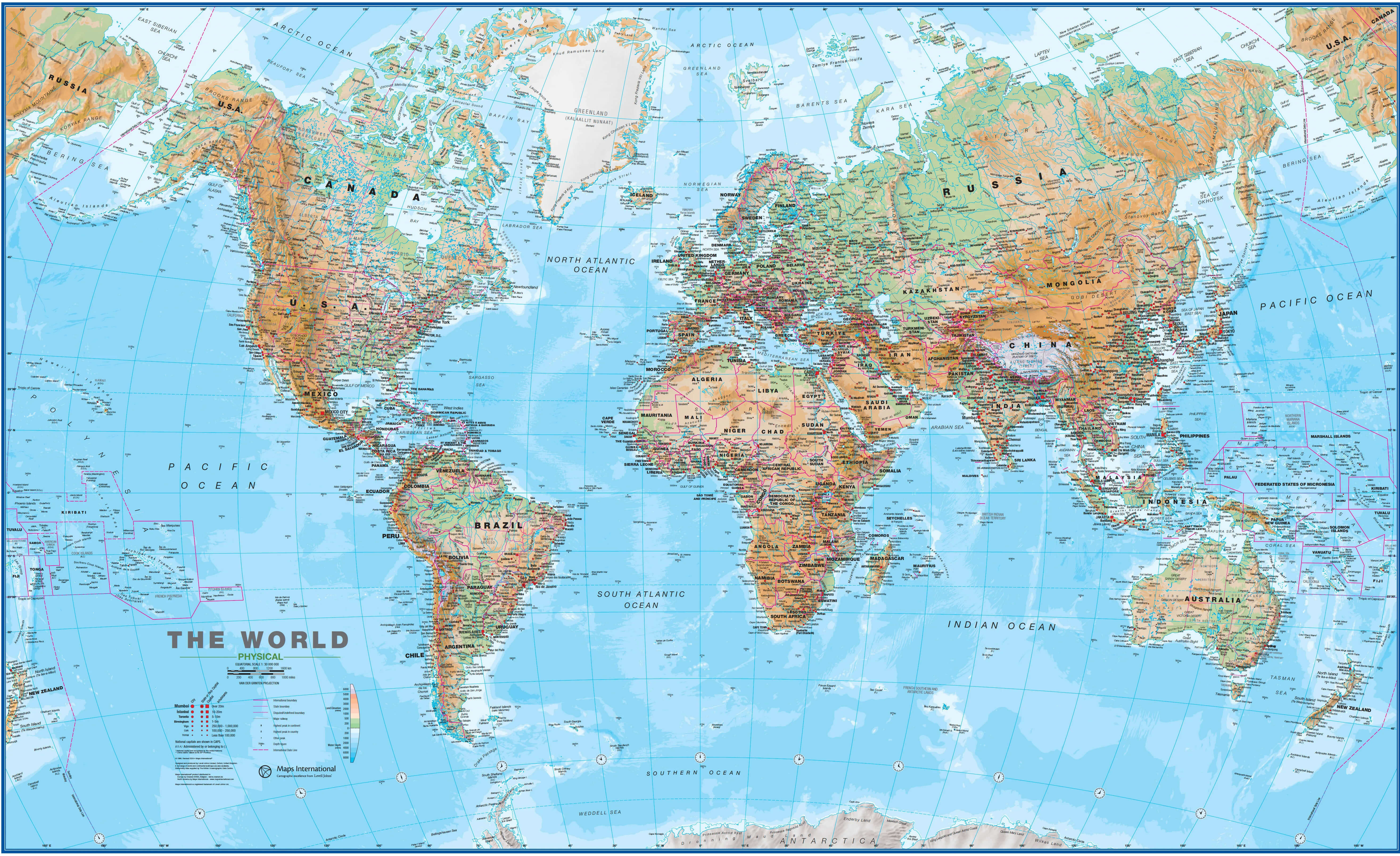
World physical and geographical wall map
Where are countries located in the World?
Show Google Maps and satellite maps of where the country is located.
Get directions by driving, walking, bicycling, public transportation, and travel with street view.
Feel free to explore these pages as well:
- World Map ↗️
- World Maps ↗️
- Political Map of the World ↗️
- World Maps ↗️
- World Maps with Countries ↗️
- More World Maps ↗️
- Map of World Countries ↗️
- World Images and Maps ↗️
- World Map ↗️
- World Time Zone Map ↗️
- World Physical Map ↗️
- World Political Map ↗️
- World Continents Map ↗️
- World Blank Map ↗️
- Explore World Satellite Map ↗️
- World Countries Map ↗️
- Free World Map ↗️
- High-Resolution World Map ↗️
- Download World Map ↗️
- Large World Map ↗️
- World Population Map ↗️
- World Wallpaper Map ↗️
- A Collection of the World Maps ↗️
- World Cities Map ↗️
- High-resolution Political World Map ↗️
- World Detailed Map ↗️
- World printable Map ↗️
- World Region Map ↗️
- Advertisement -
