- Advertisement -
Explore a wide collection of political world maps, including detailed maps by country, oceans, and borders. From world maps with capitals, major cities, and country names to blank political maps and time zone charts, these resources are perfect for students, travelers, and researchers seeking clear global geography references.
World Political Maps with Countries and Borders
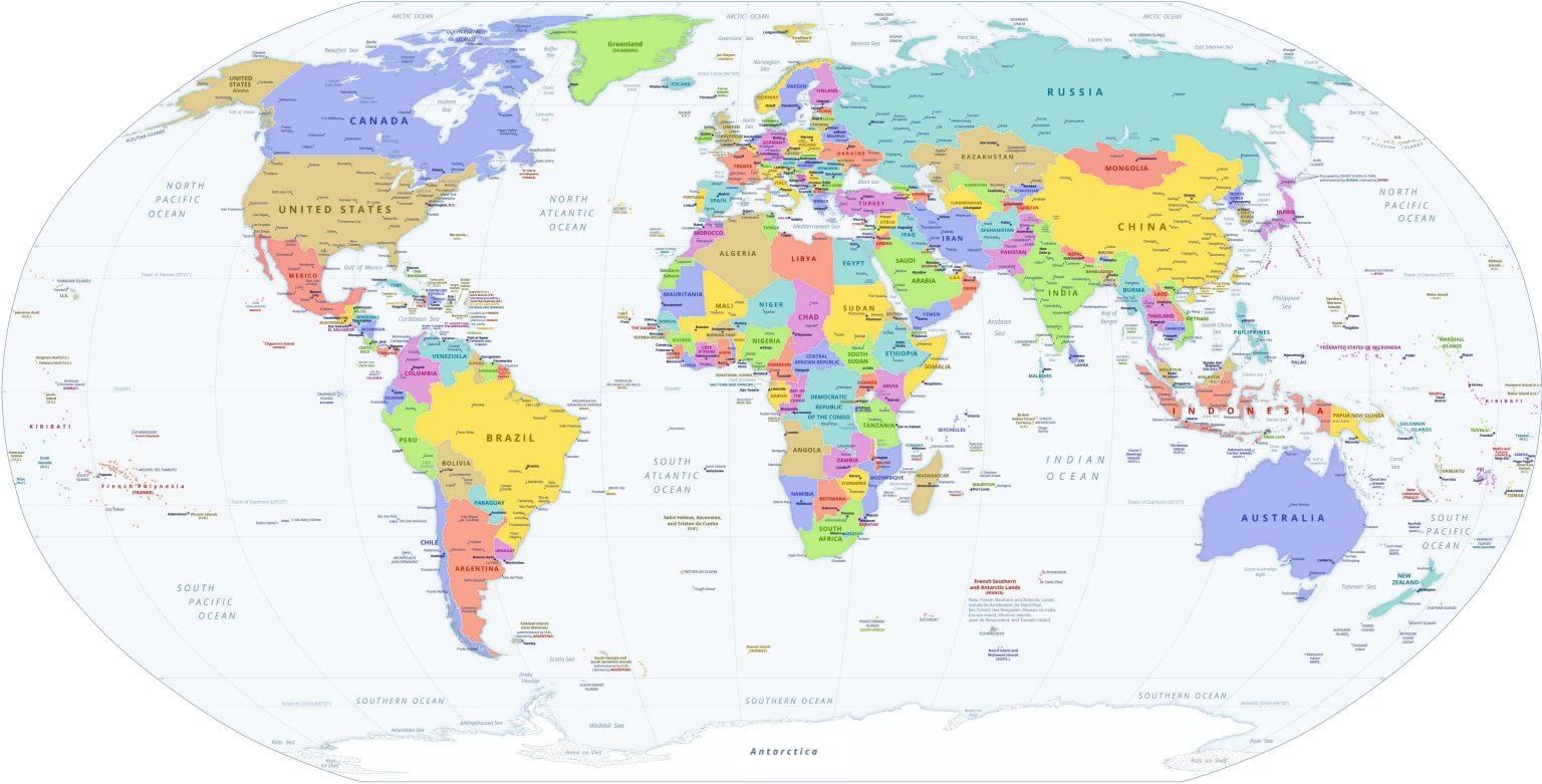 World political map showing countries, capitals, and international borders.
Politic World map
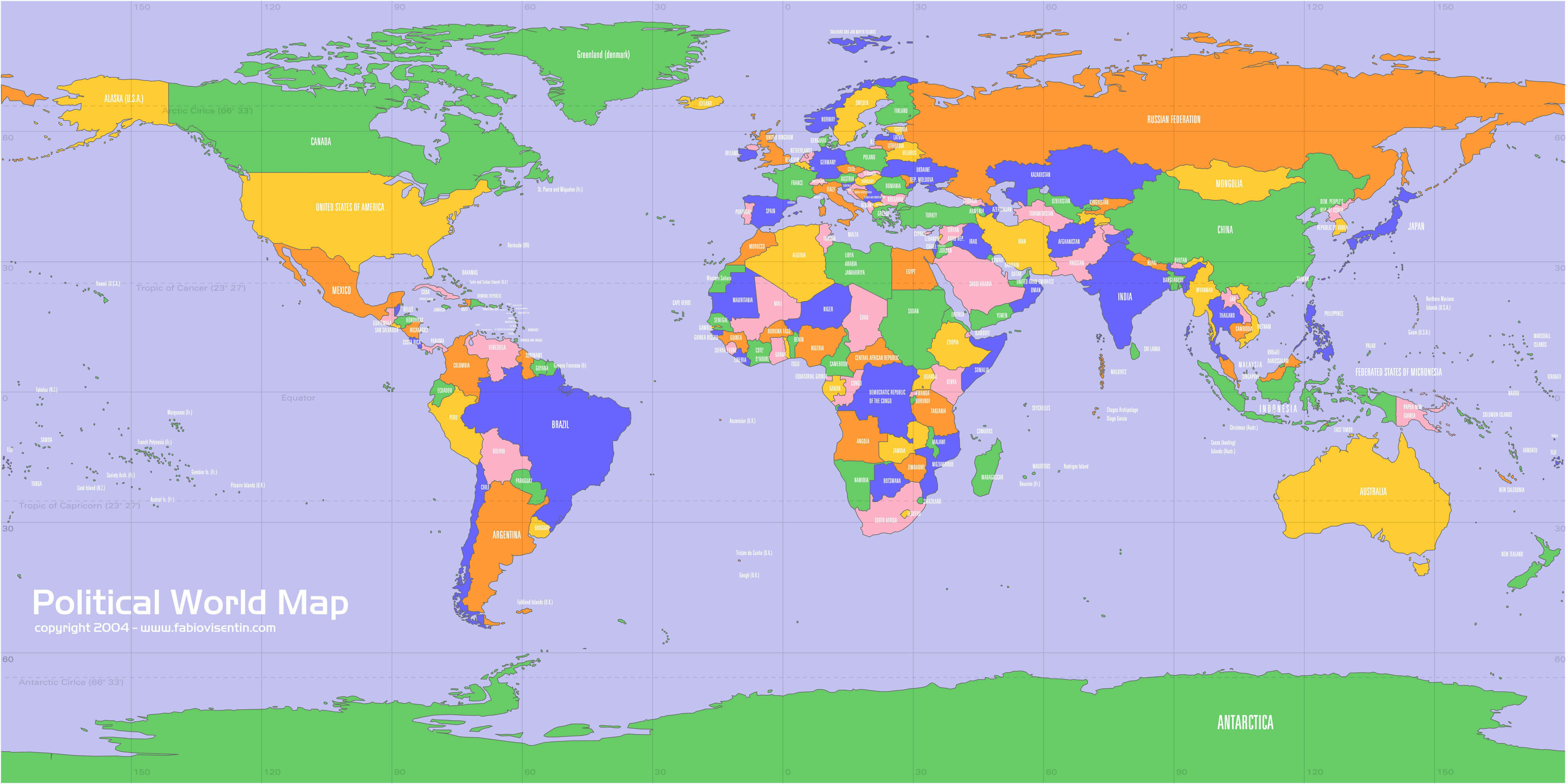
Political map of the World by country and oceans
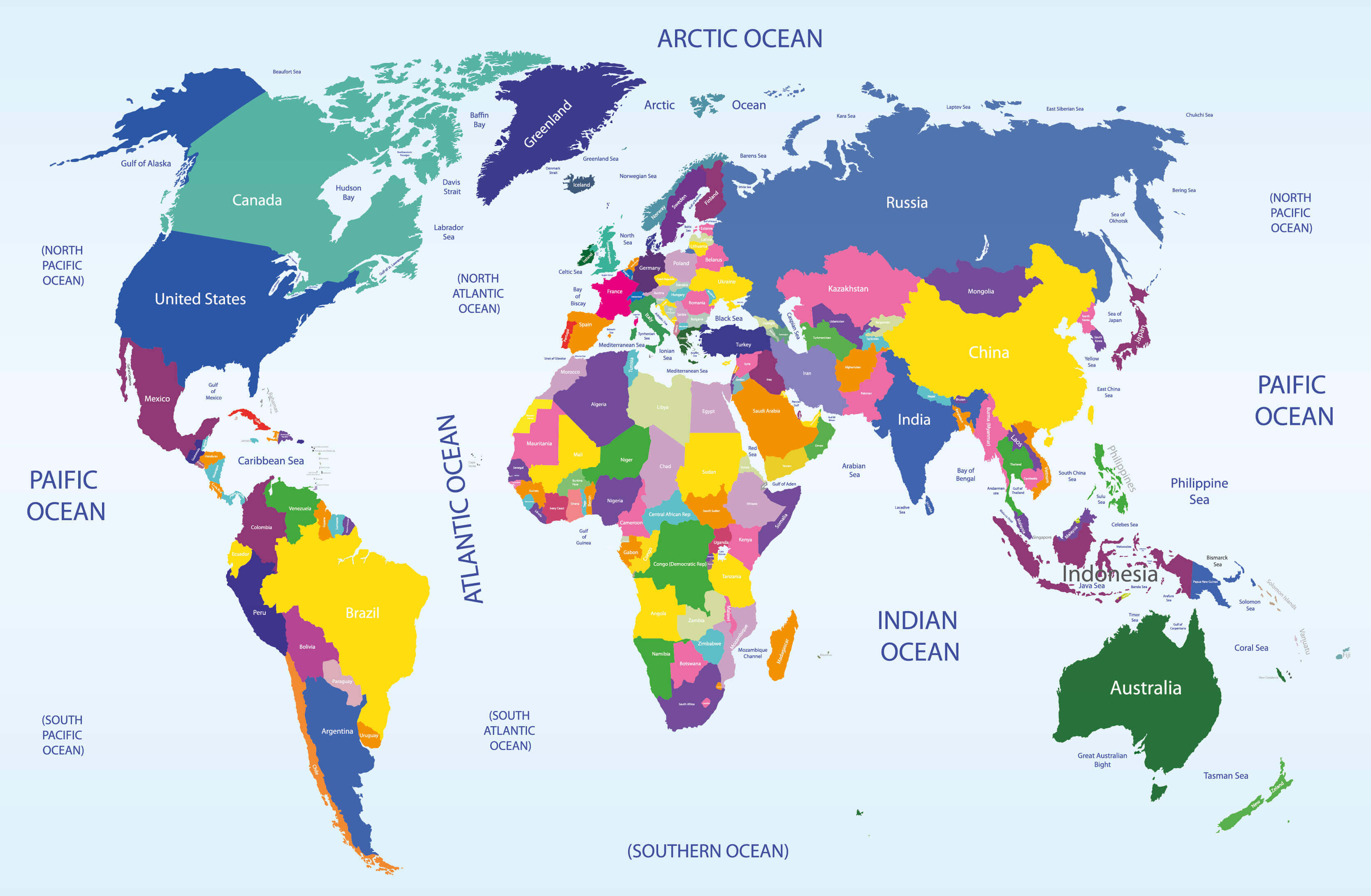
Political map of the World by country
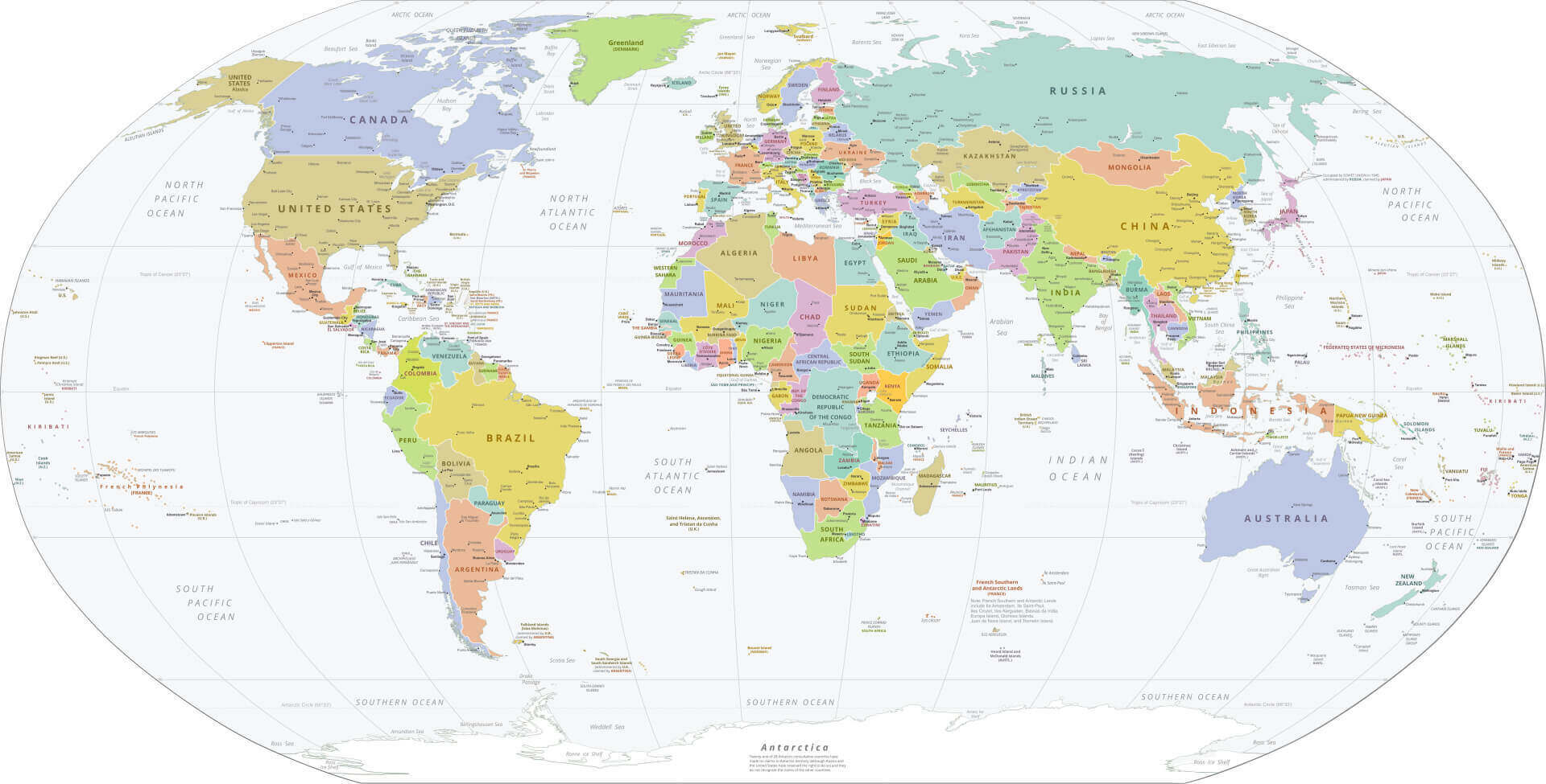
Political map of the World with countries and major cities
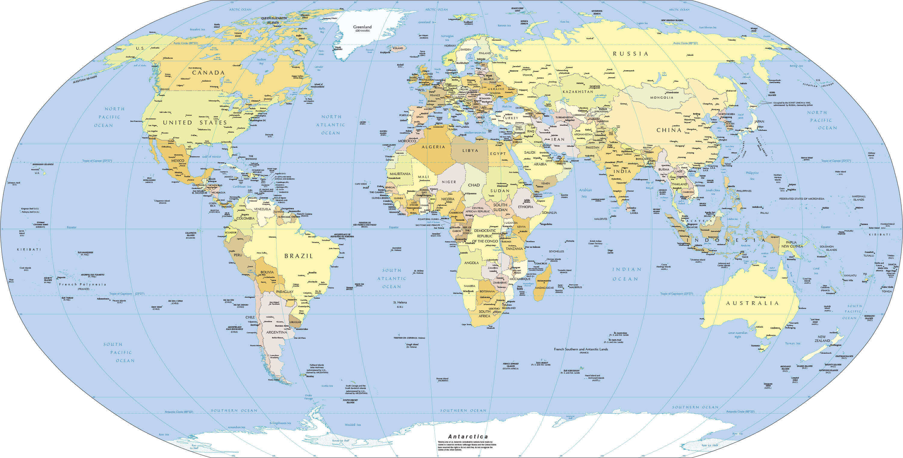
Political map of the World with country names
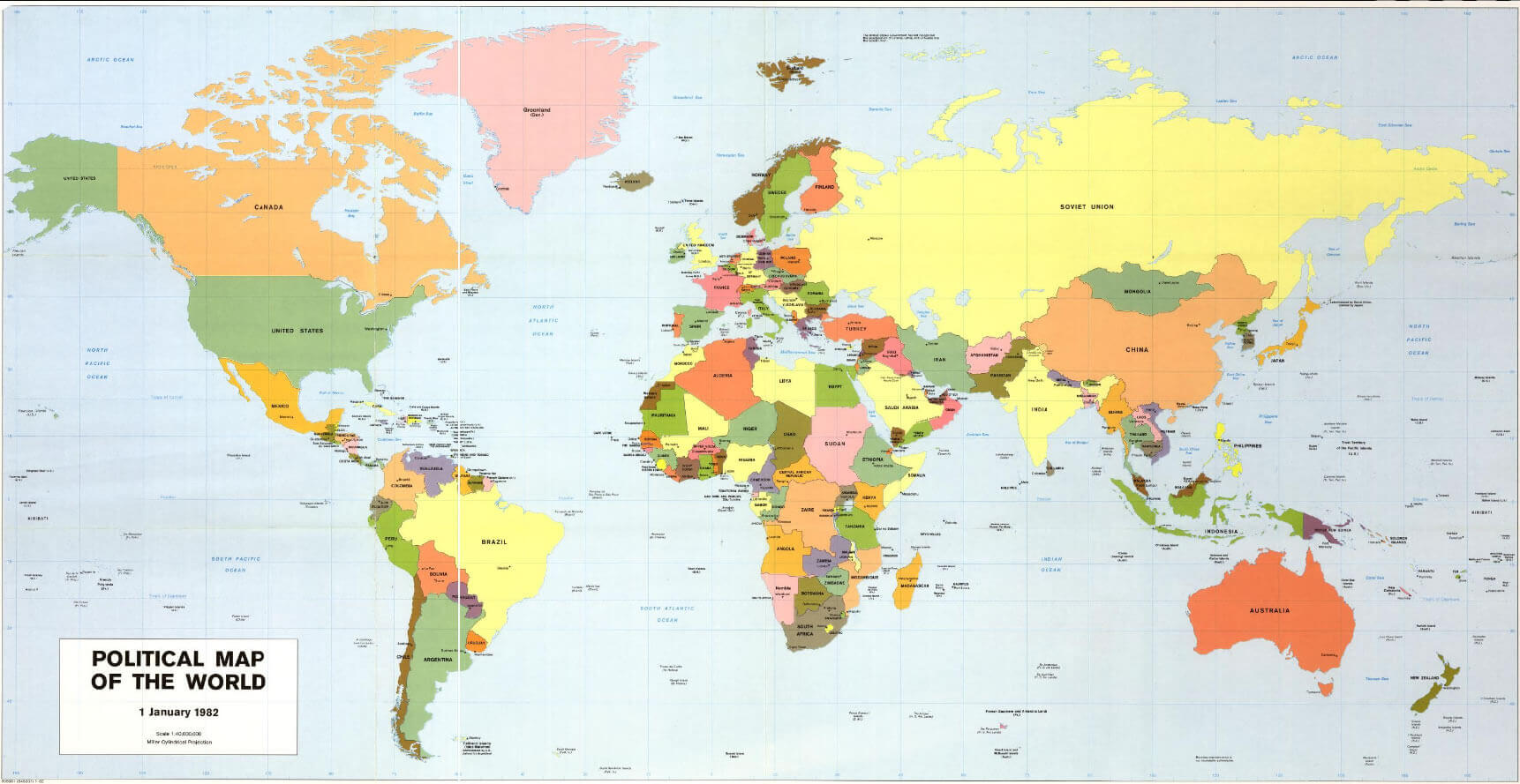
Political map of the World
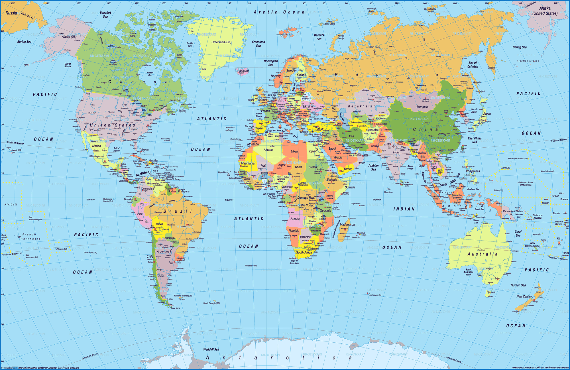
Political map of the World
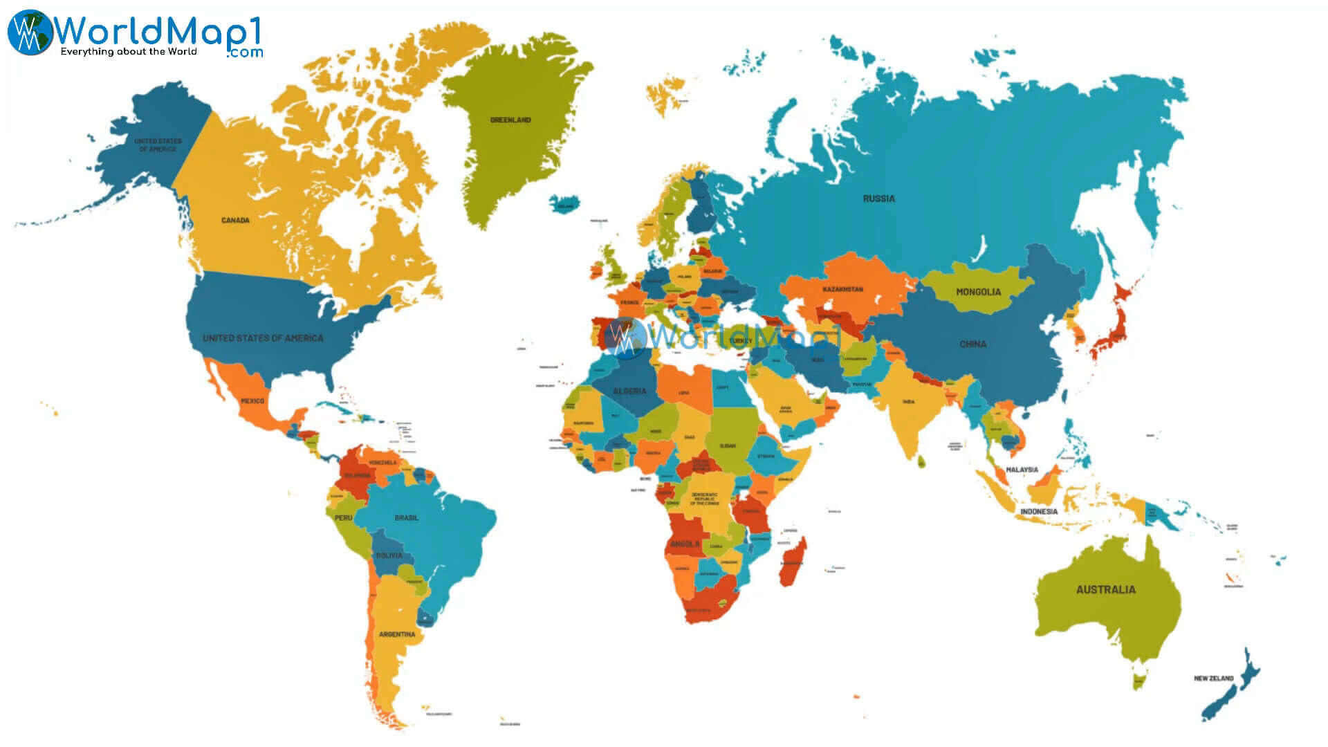
Political physical map of the World
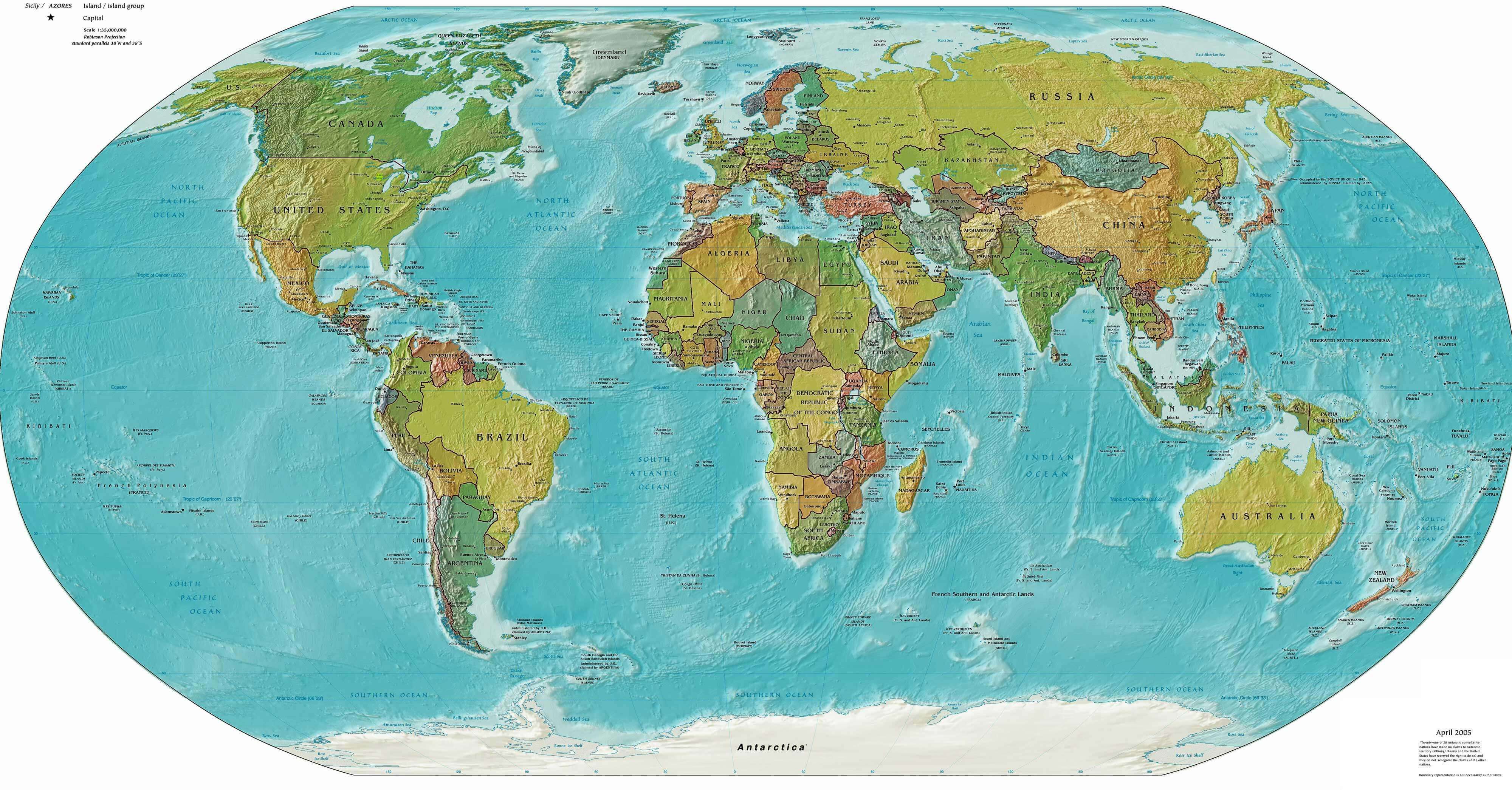
Politics map of the World
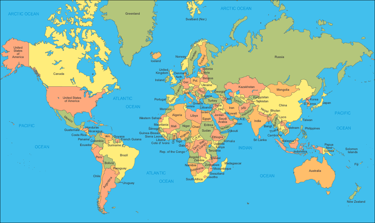
World countries politcal map by country
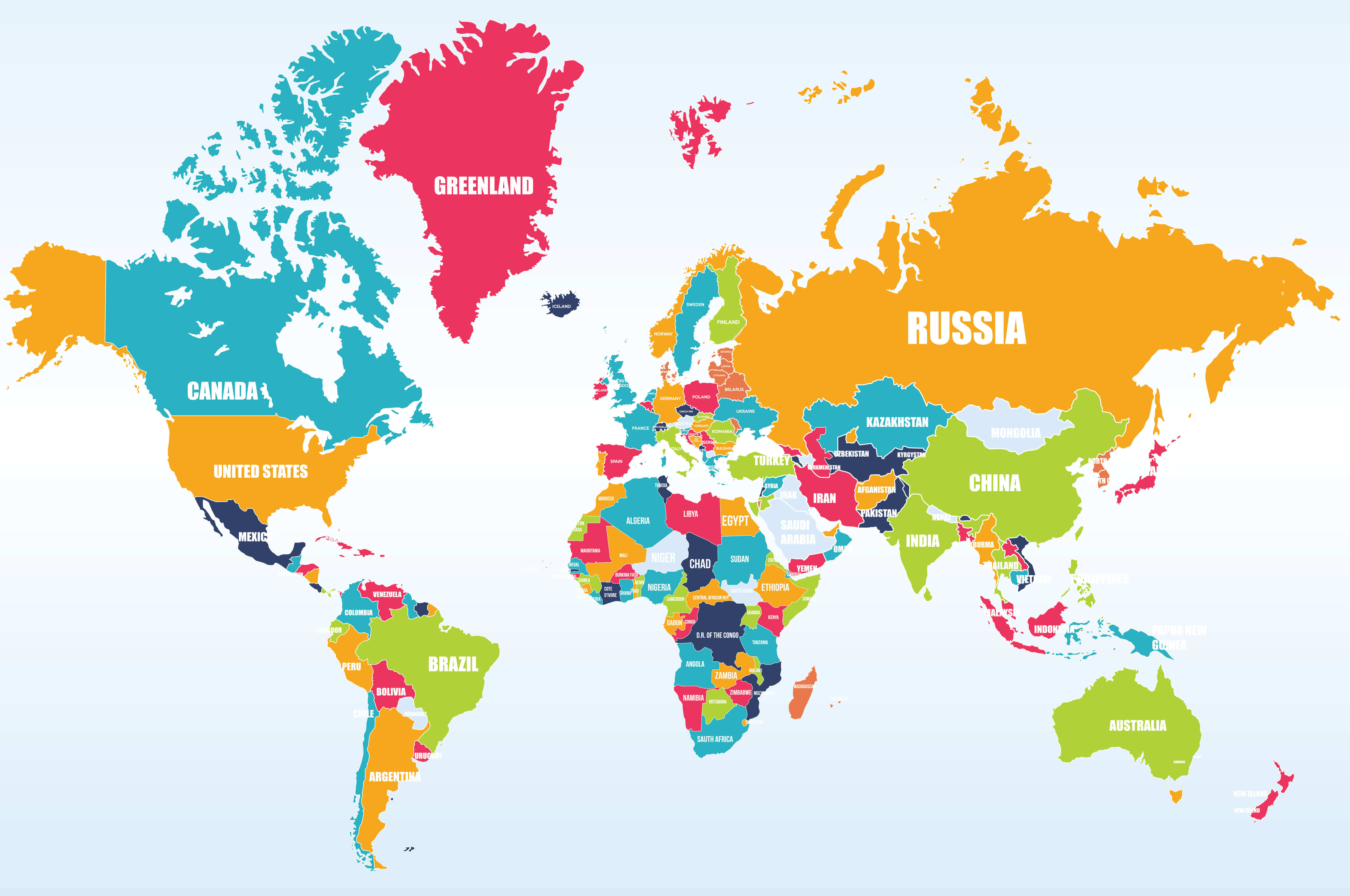
World countries political map
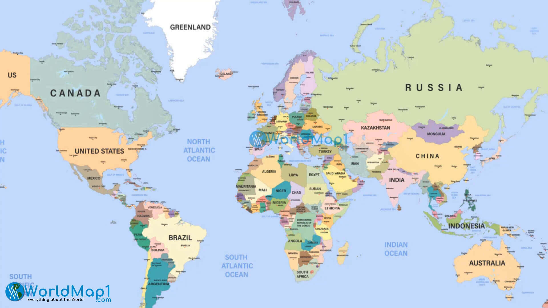
World globe politics map
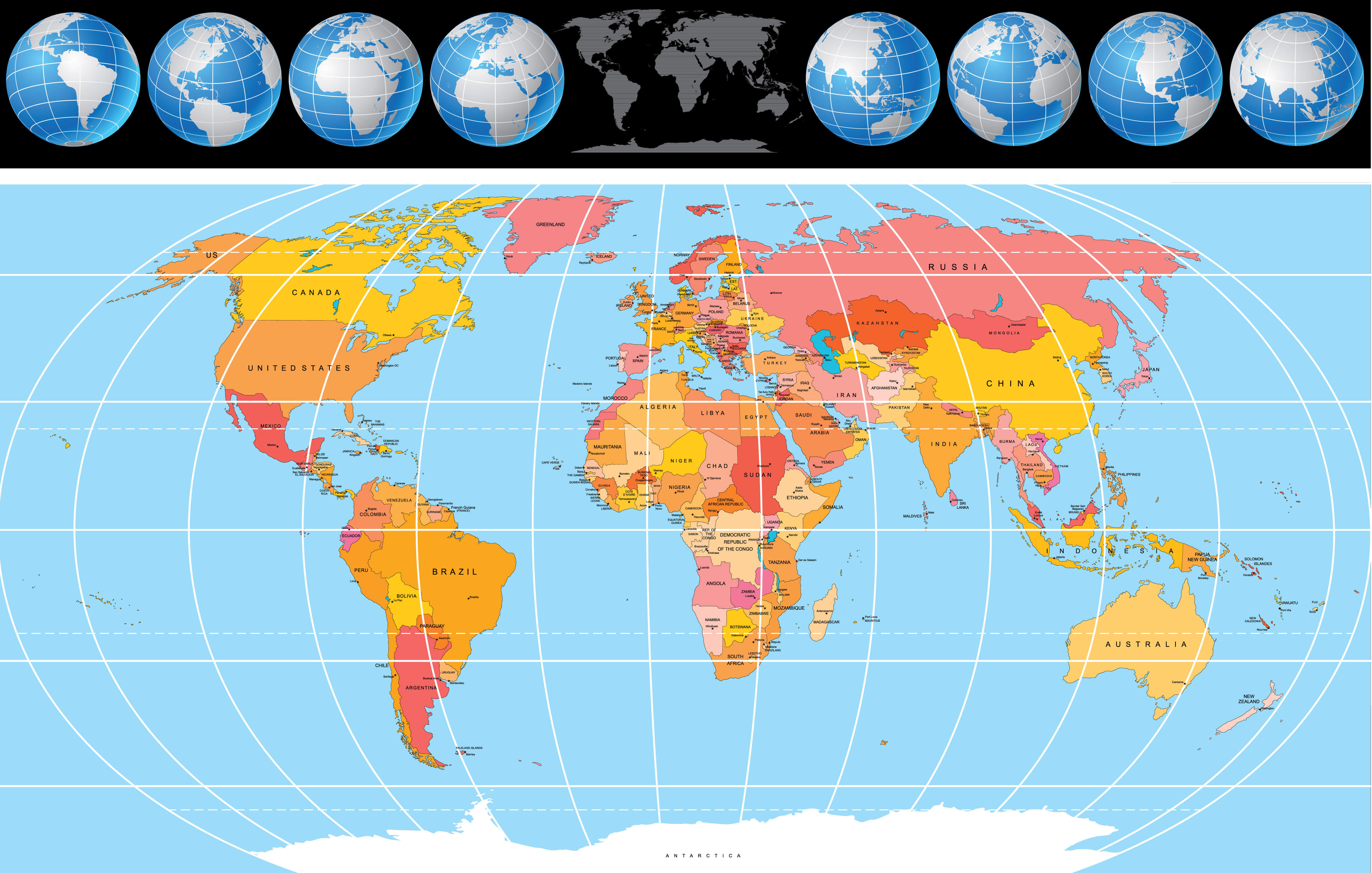
World map political
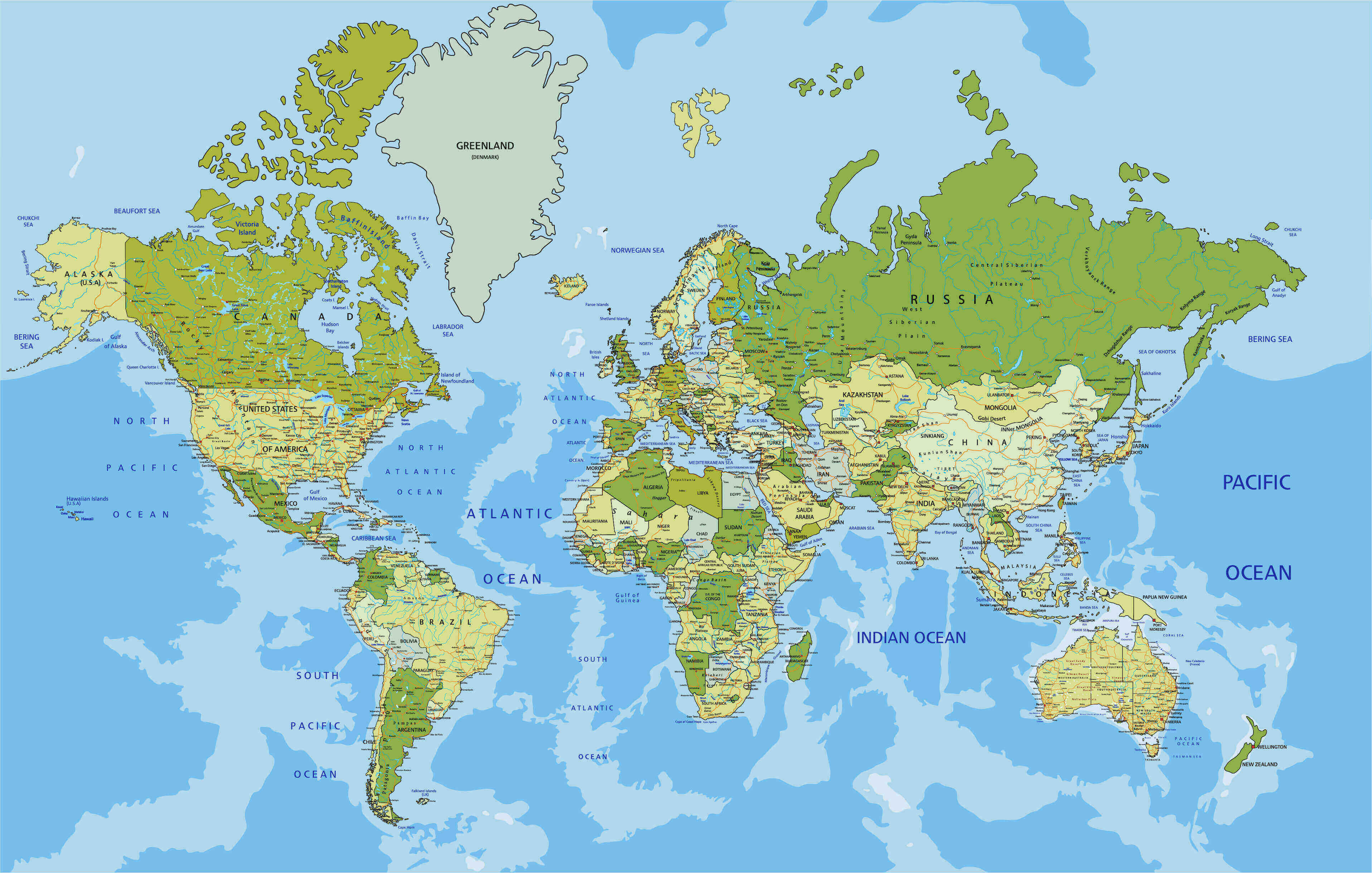
World map

World map

World national and political map
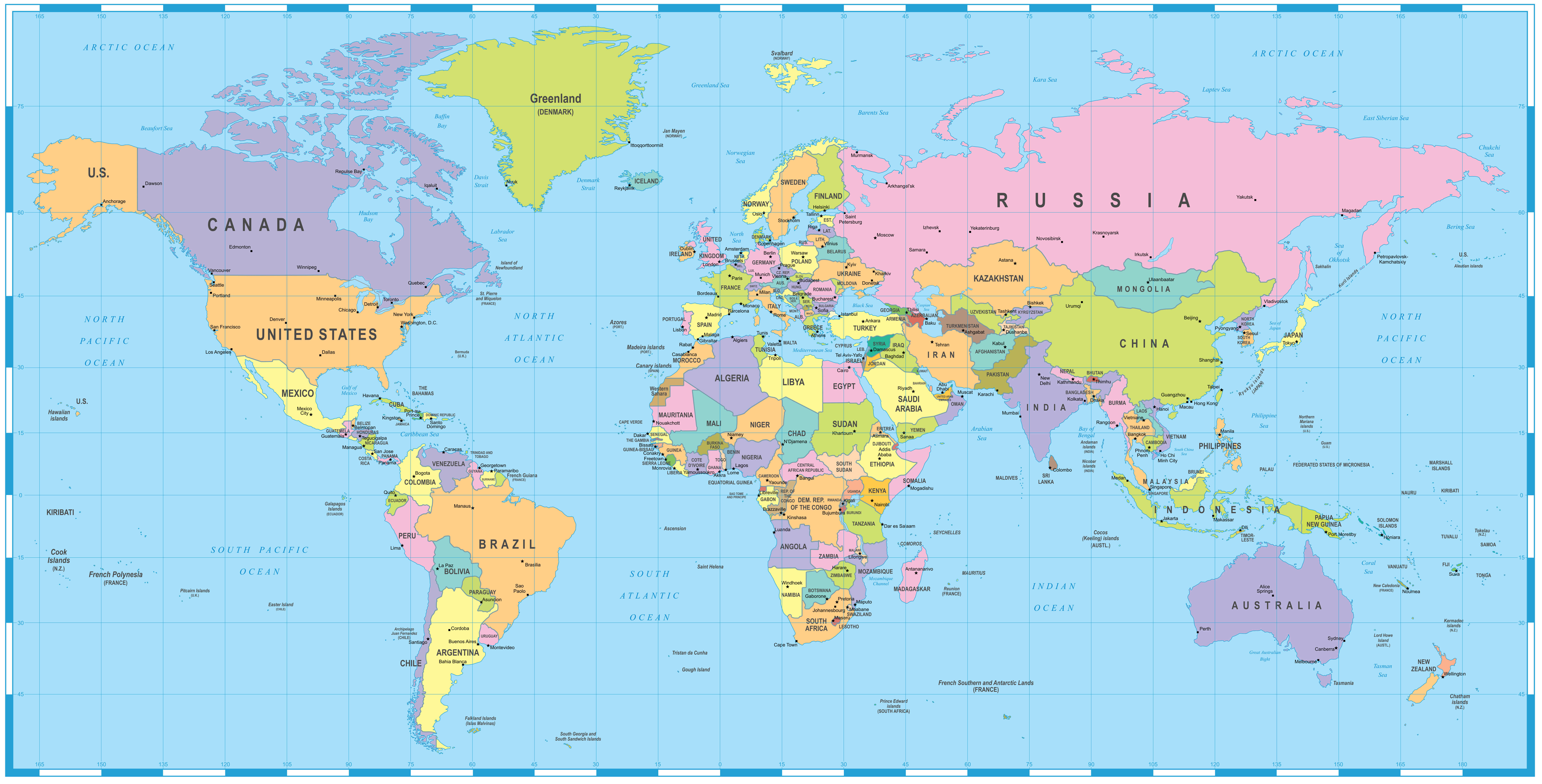
World political blank map
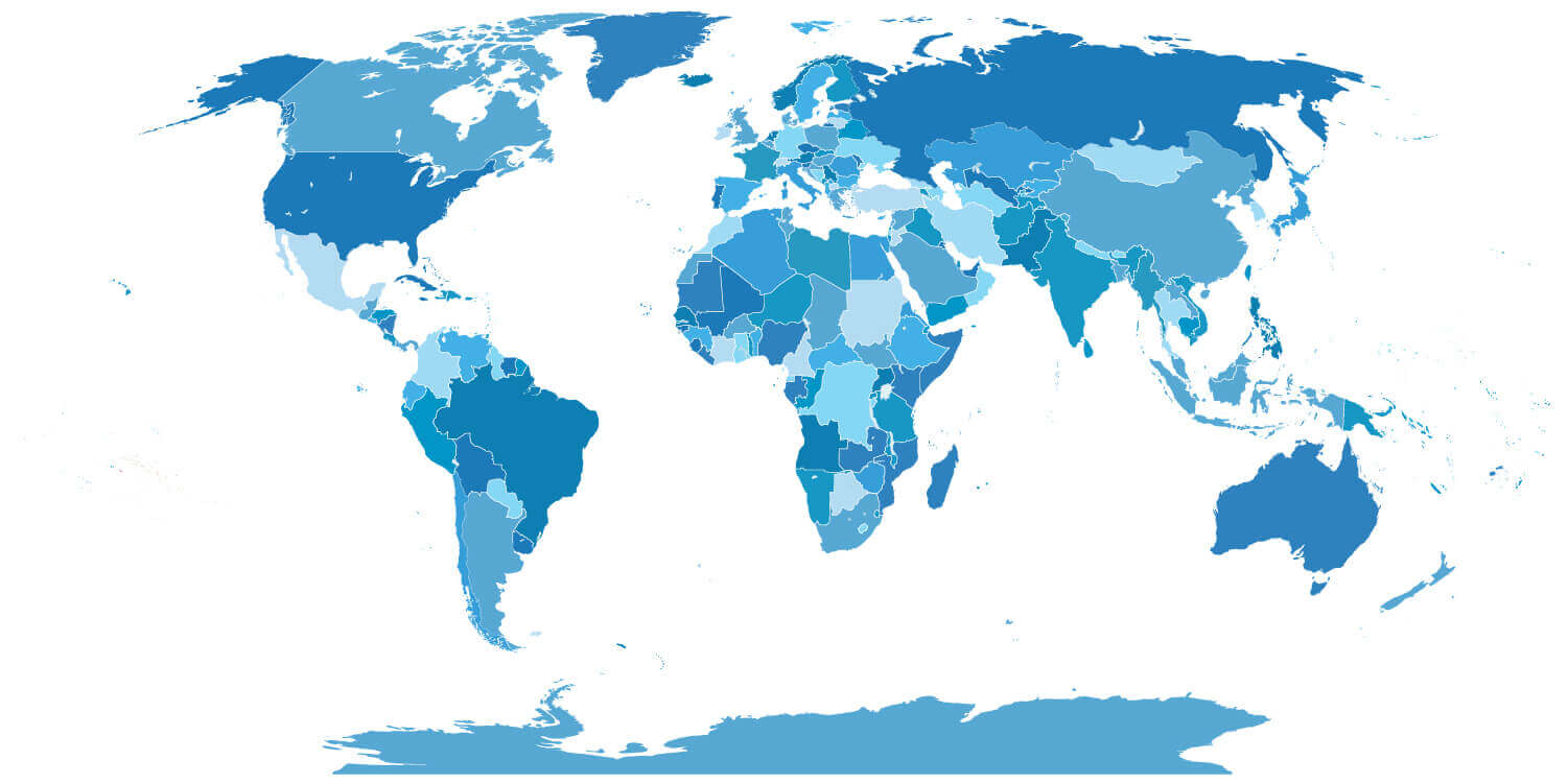
World political map English
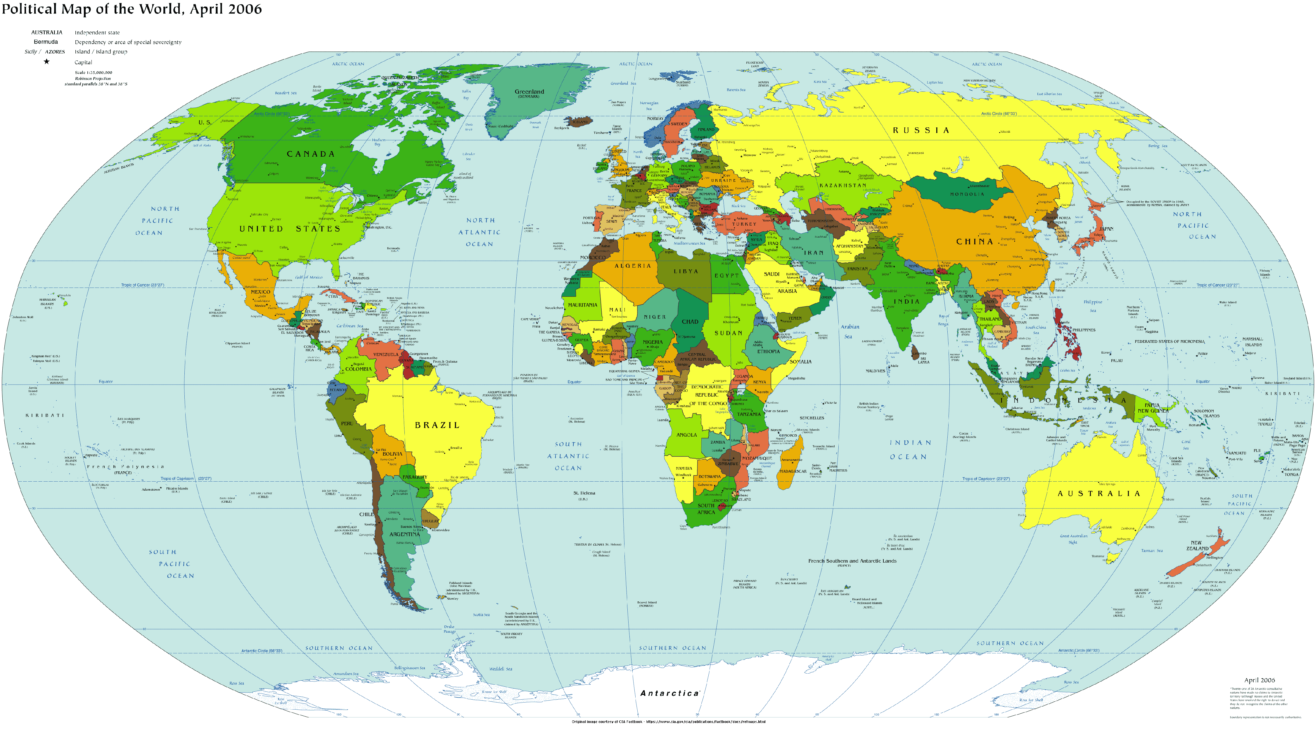
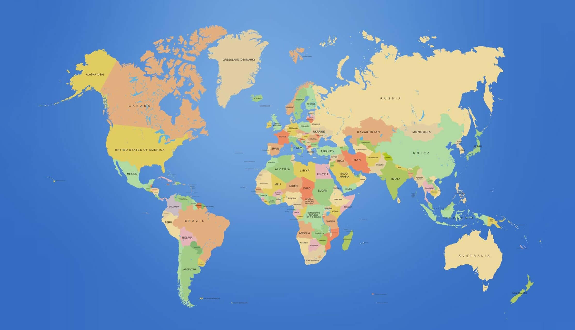
World political map with countries
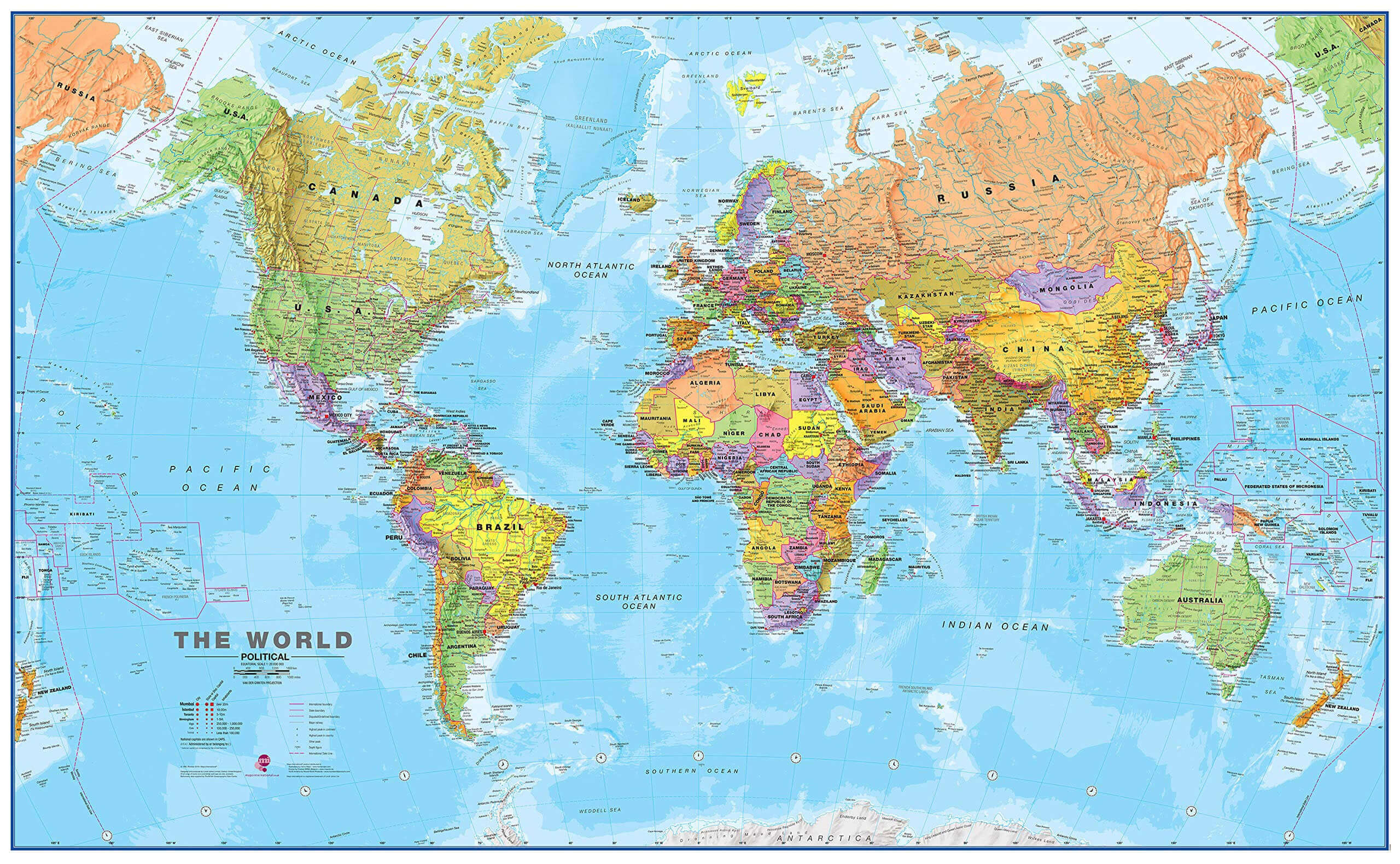
World political map with national borders
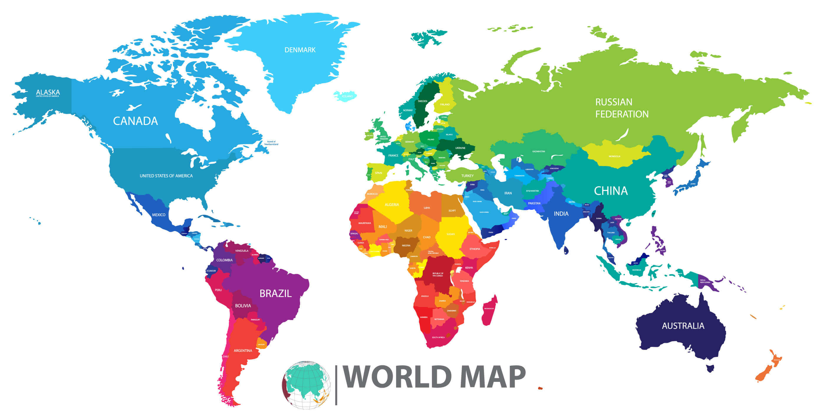
World political map
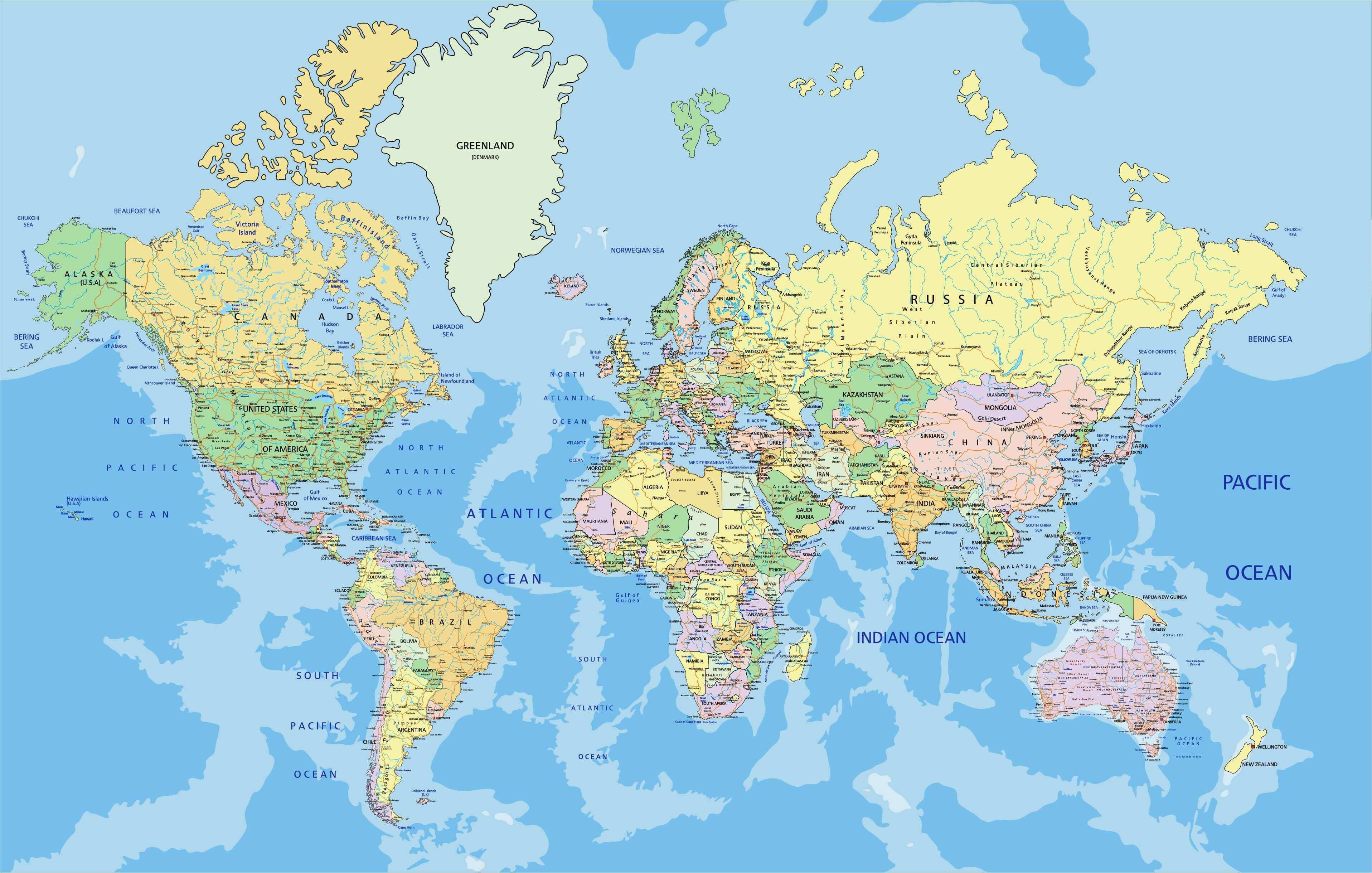
World political maps

World politics map with arctic and southern ocean
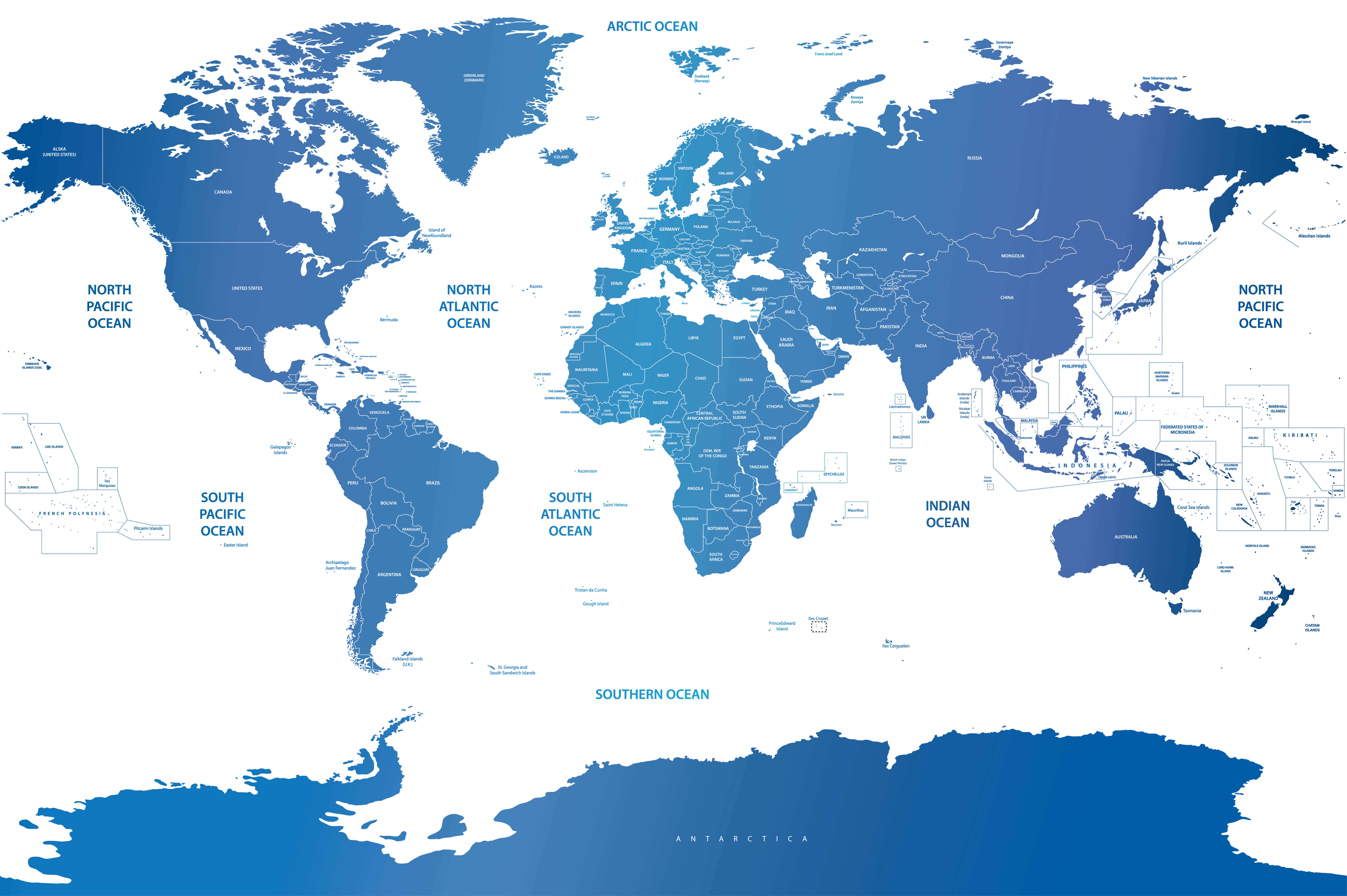
World politics map
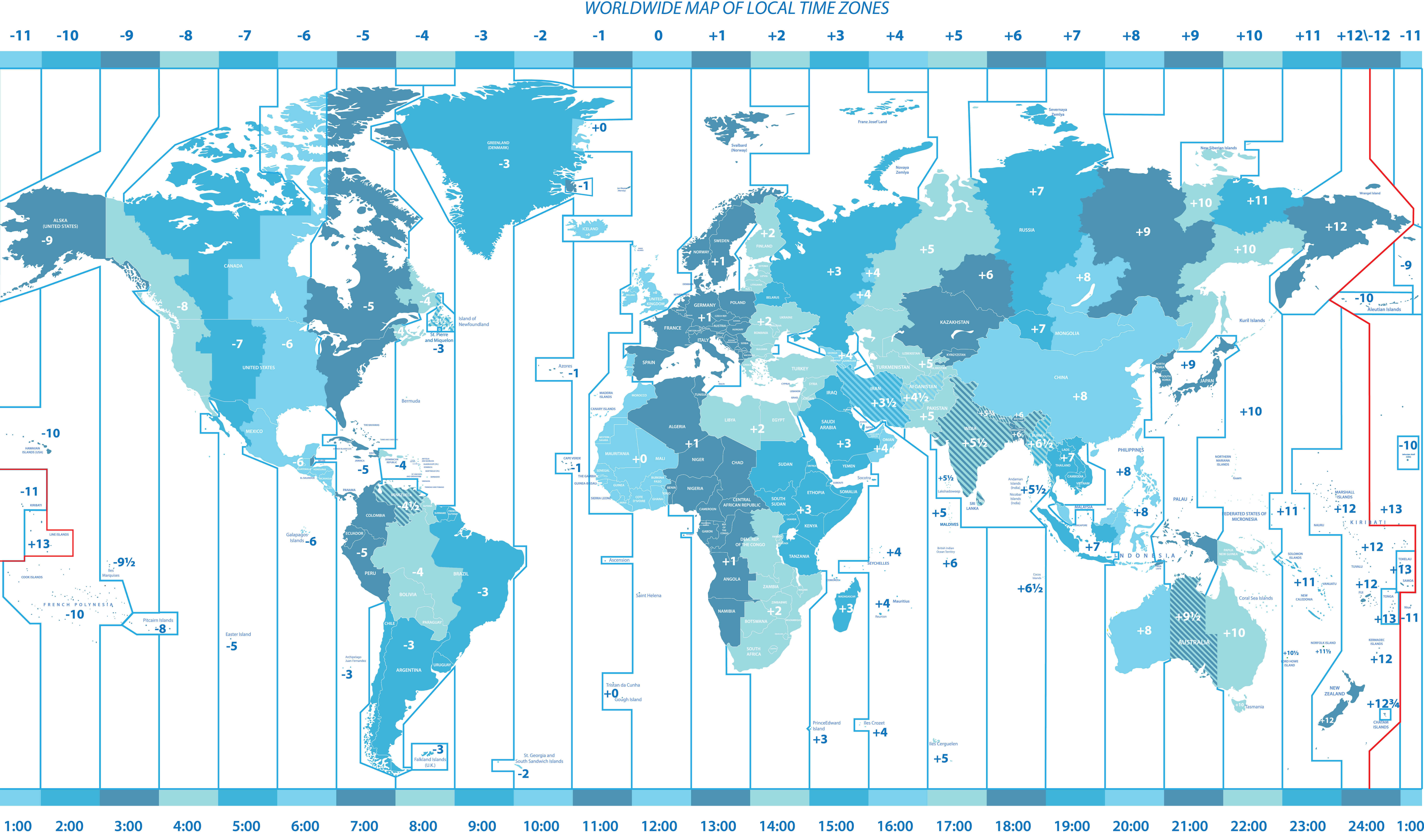
Worldwide political map of local time zones
Where are countries located in the World?
Show Google Maps and satellite maps of where the country is located.
Get directions by driving, walking, bicycling, public transportation, and travel with street view.
Feel free to explore these pages as well:
- World Map ↗️
- World Maps ↗️
- Political Map of the World ↗️
- World Maps ↗️
- World Maps with Countries ↗️
- More World Maps ↗️
- Map of World Countries ↗️
- World Images and Maps ↗️
- World Map ↗️
- World Time Zone Map ↗️
- World Physical Map ↗️
- World Political Map ↗️
- World Continents Map ↗️
- World Blank Map ↗️
- Explore World Satellite Map ↗️
- World Countries Map ↗️
- Free World Map ↗️
- High-Resolution World Map ↗️
- Download World Map ↗️
- Large World Map ↗️
- World Population Map ↗️
- World Wallpaper Map ↗️
- A Collection of the World Maps ↗️
- World Cities Map ↗️
- World Geography Map ↗️
- World Detailed Map ↗️
- World printable Map ↗️
- World Region Map ↗️
- Advertisement -
