- Advertisement -
Explore high-resolution political maps of the world featuring countries, national borders, capitals, cities, continents, oceans, time zones, and more. Available in multiple languages including Turkish, Spanish, Russian, and French. Perfect for educational, reference, and travel use.
High Resolution World Political Map with Countries and Borders
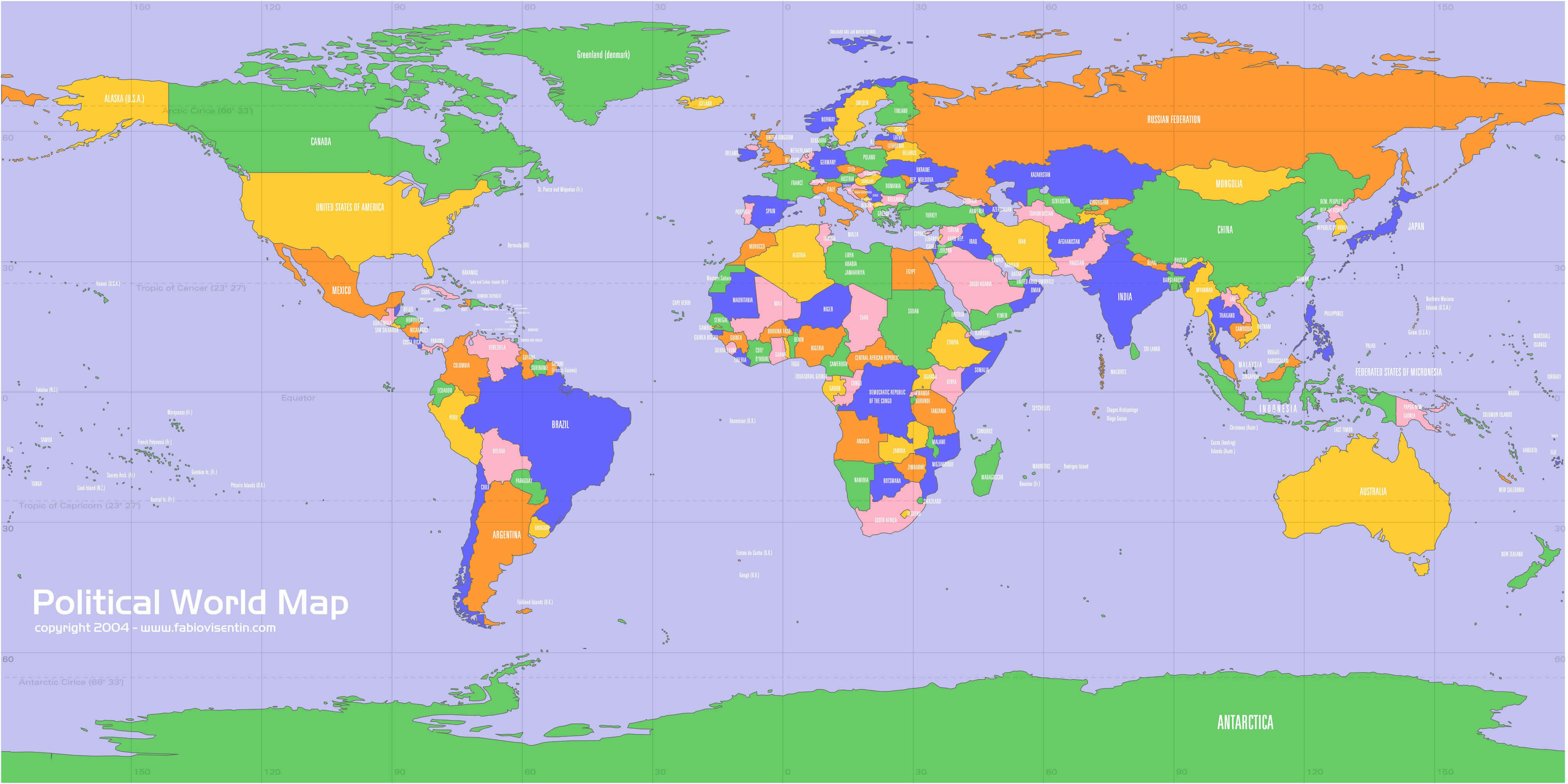
World Political Map with Countries and Capital Cities
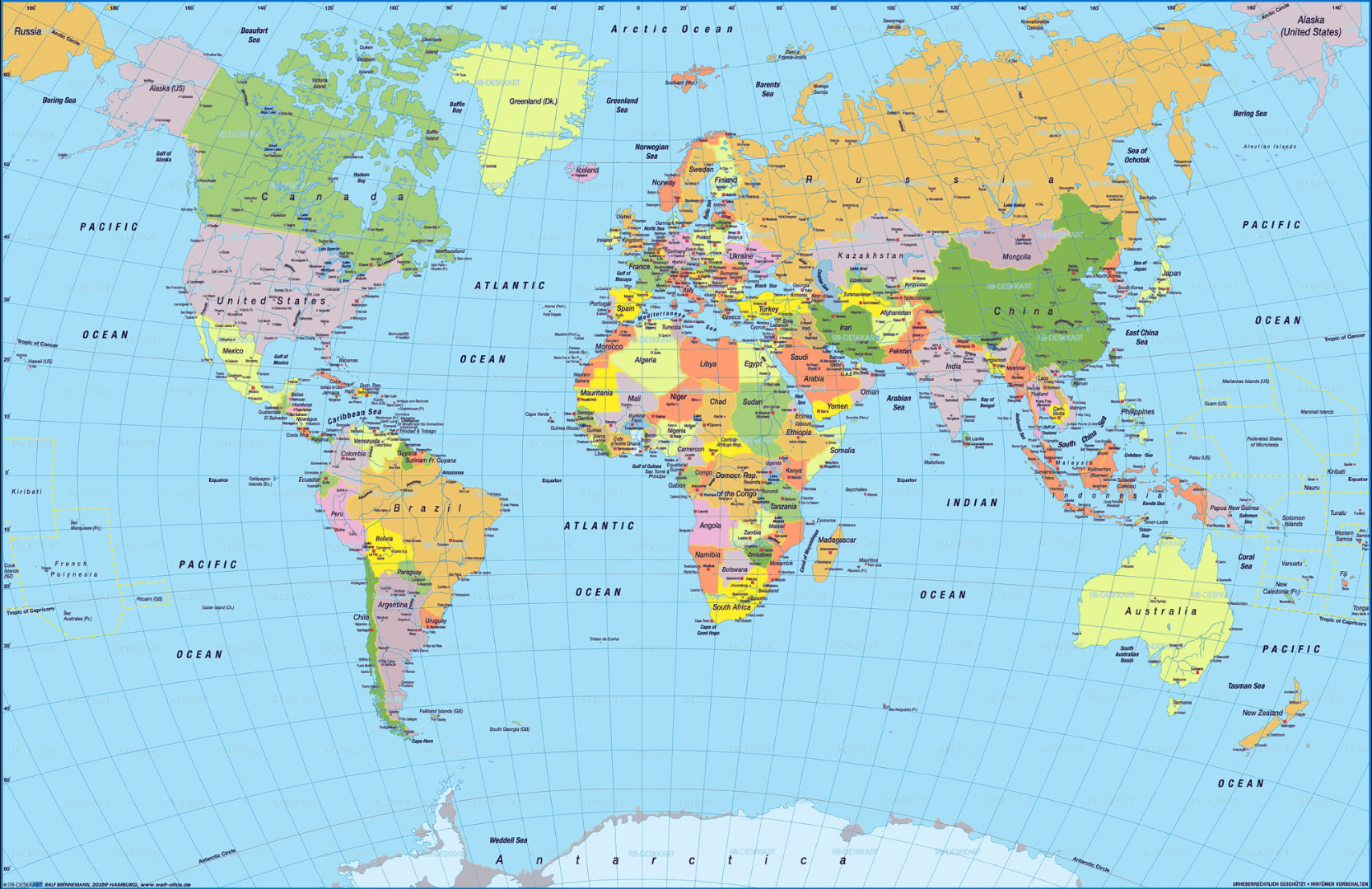 Colorful world political map showing countries, capitals, and major oceans.
Outline political map of the World countries
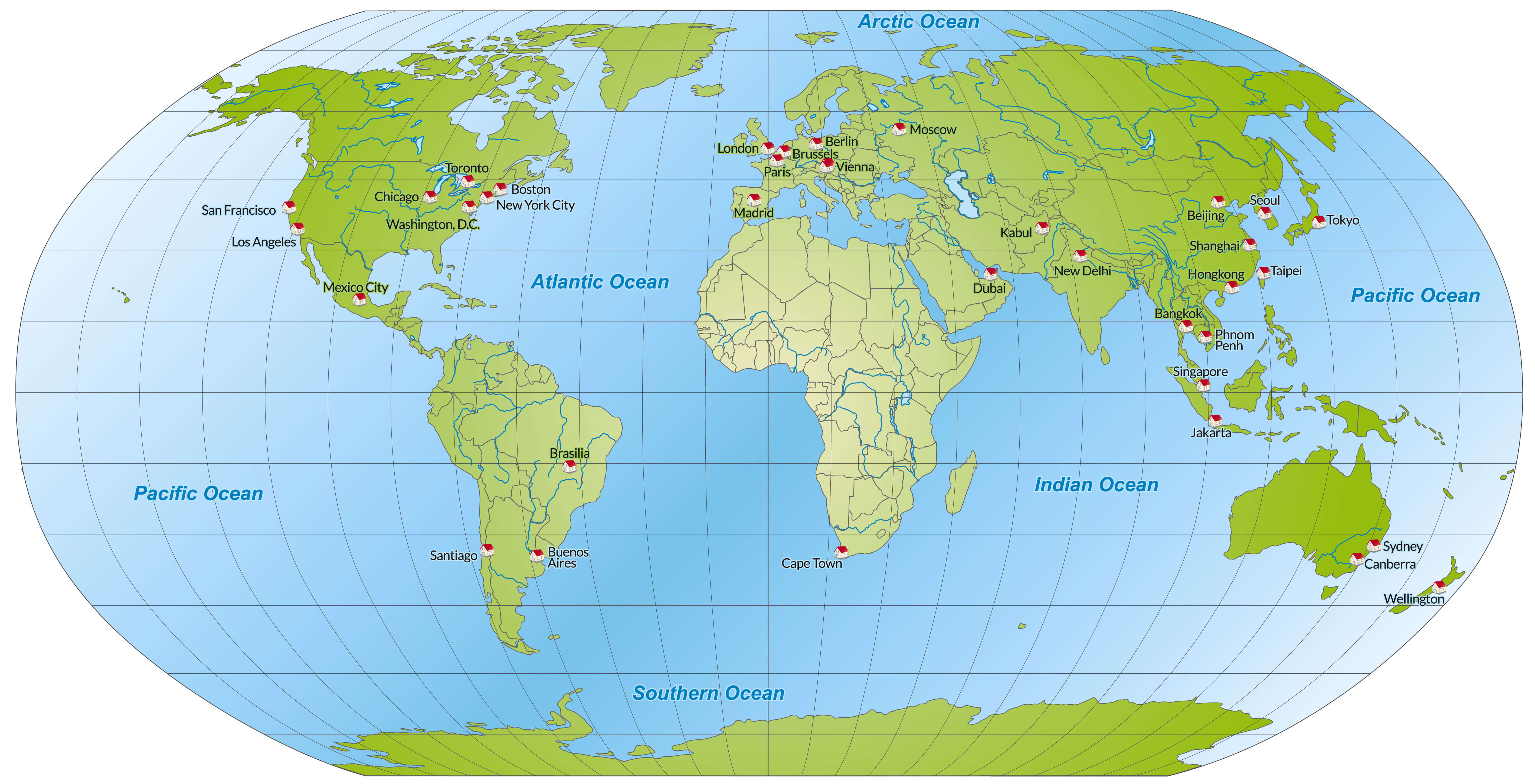
Political map of the World by country and oceans
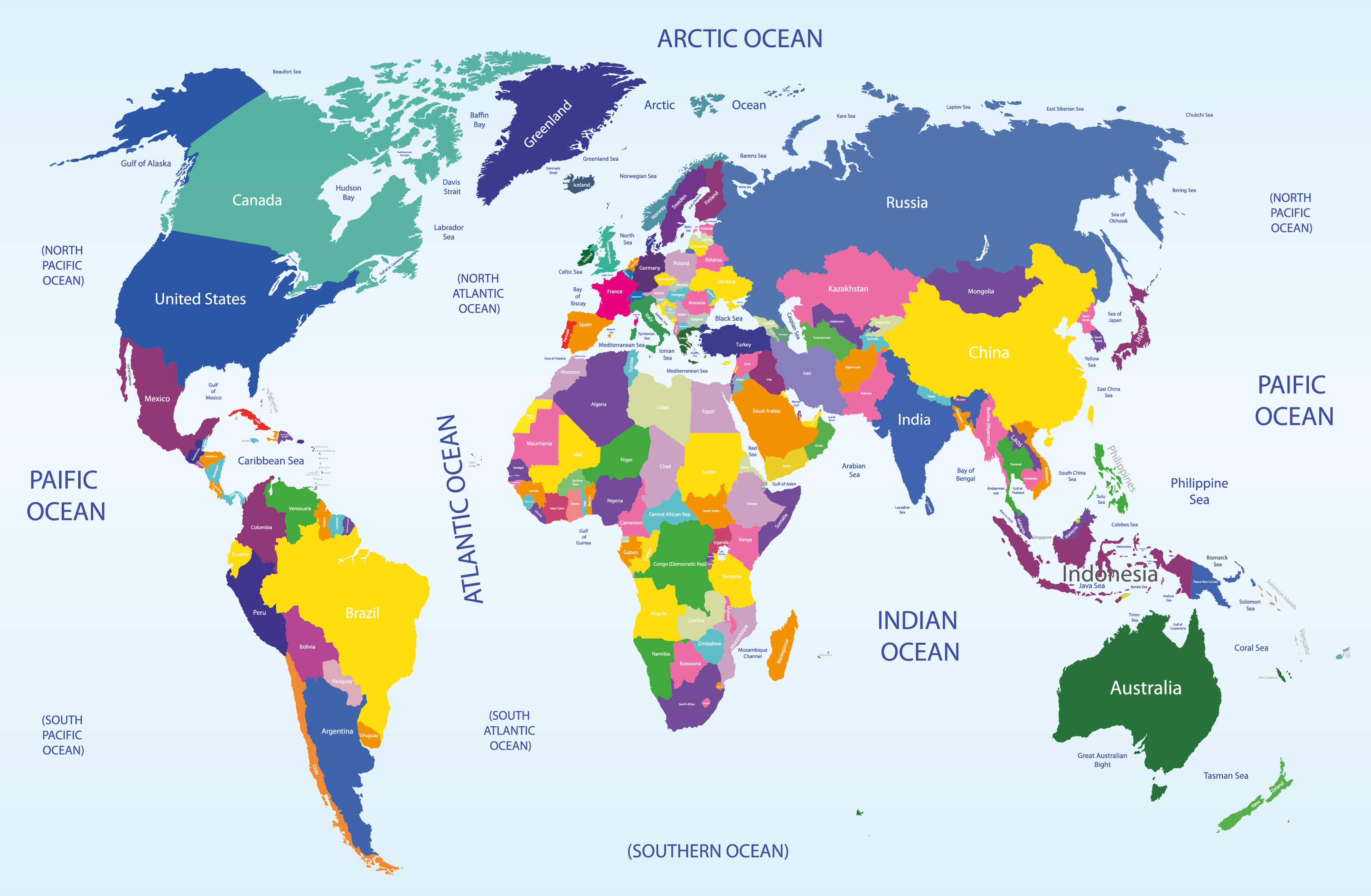
Political map of the World by country
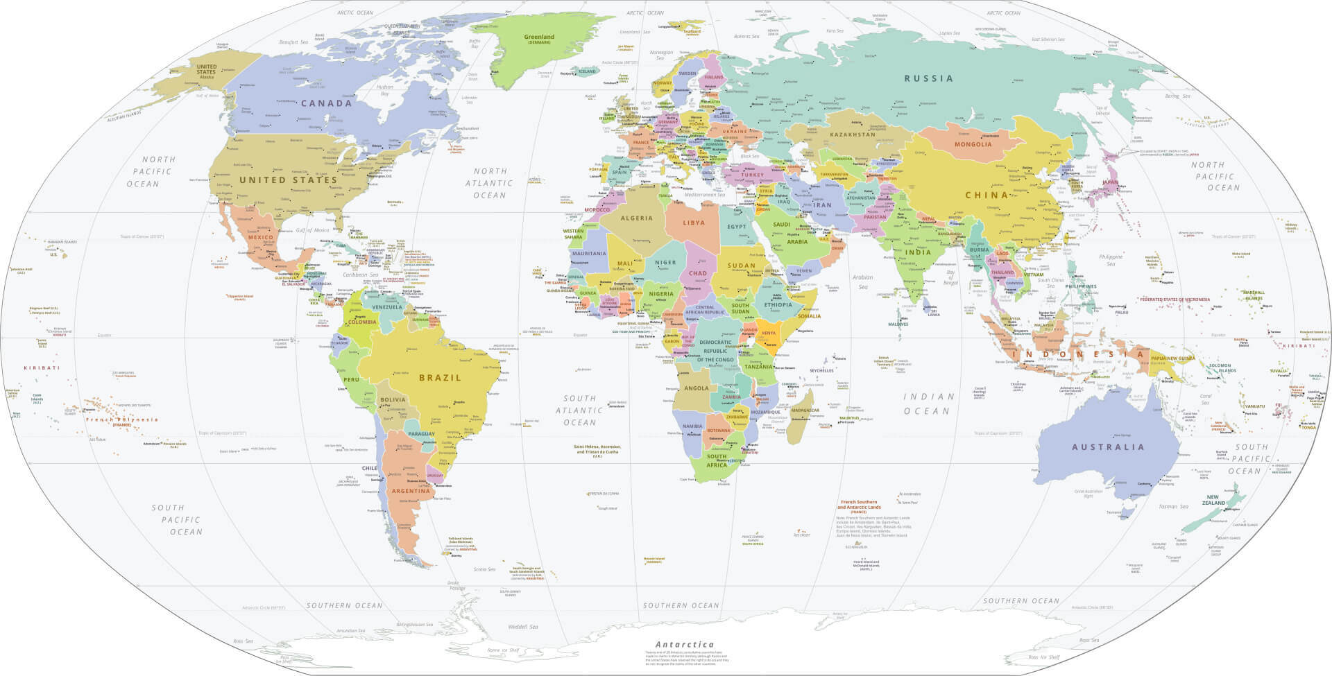
Political map of the World with countries and major cities
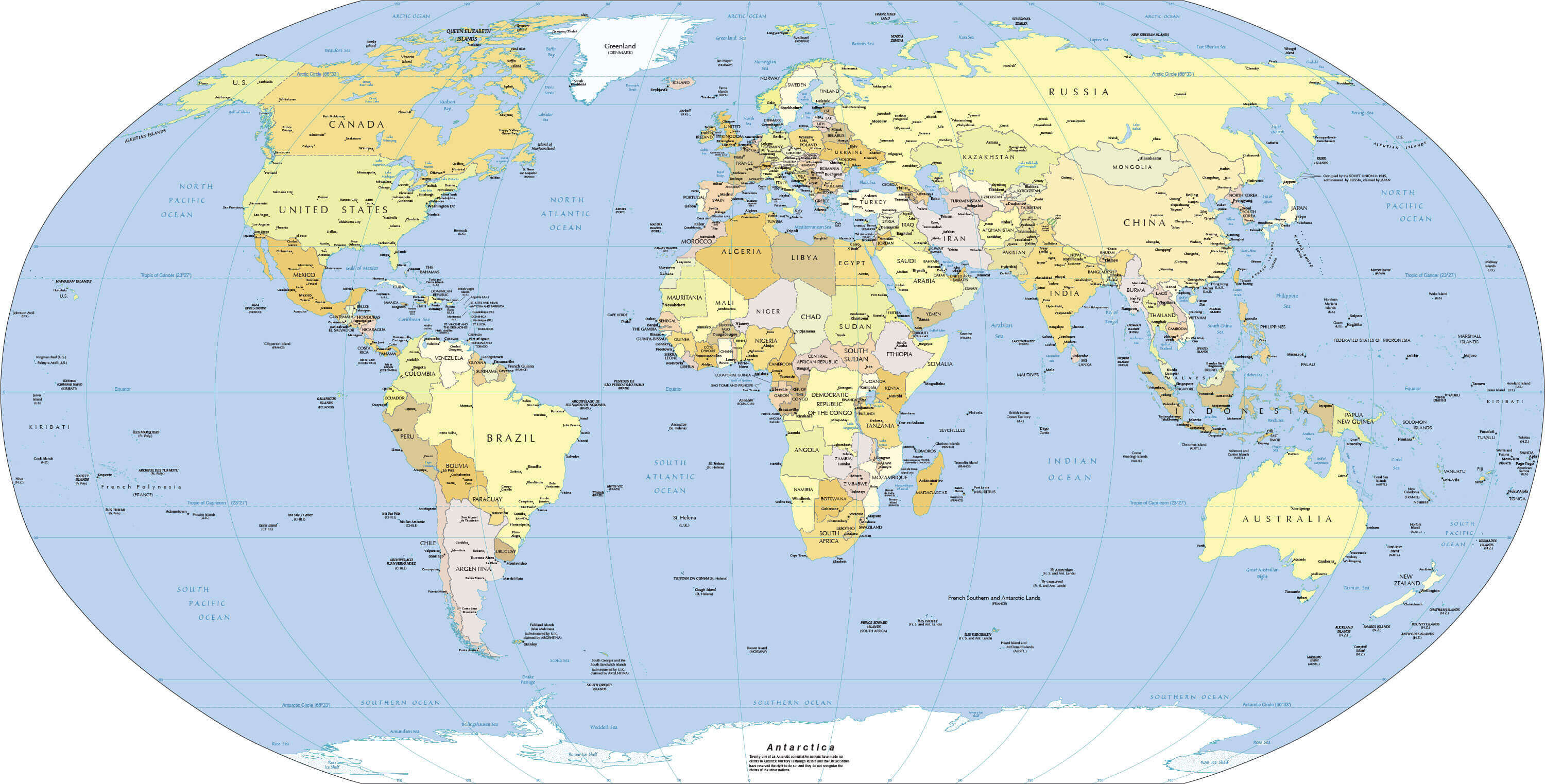
Political map of the World with country borders
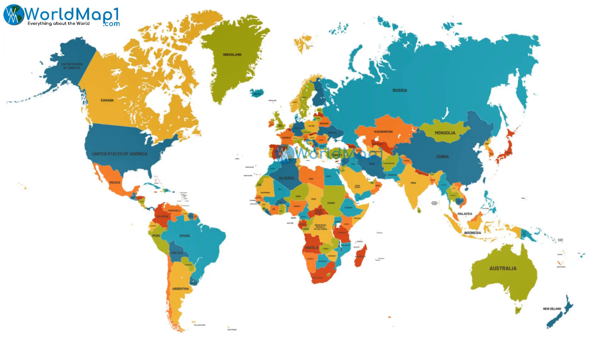
Political map of the World with country names
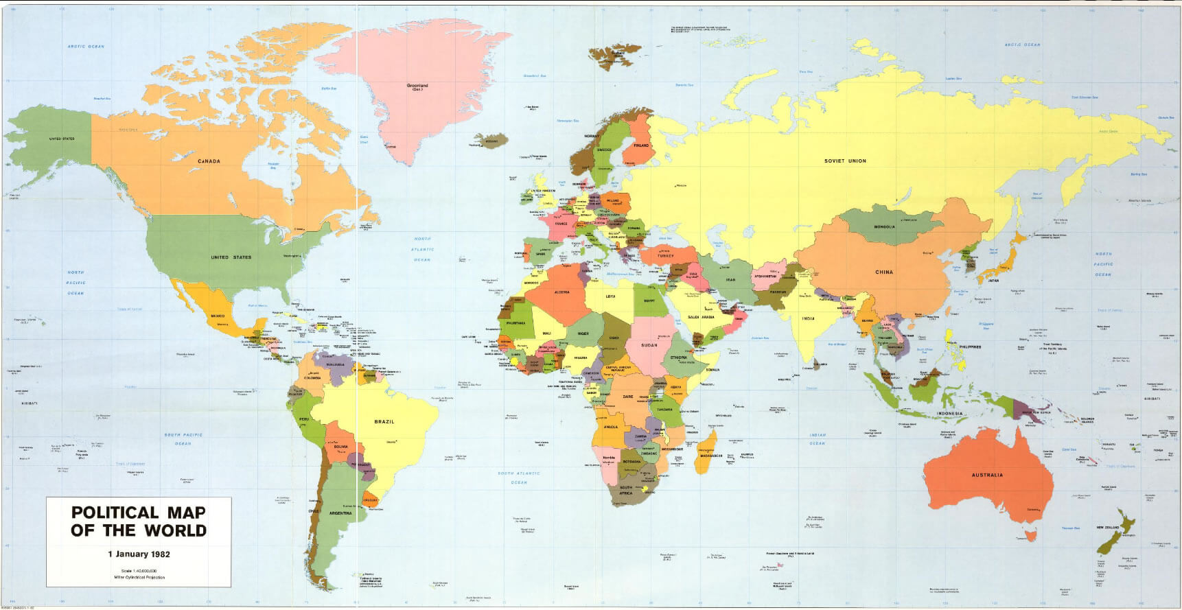
Political map of the World
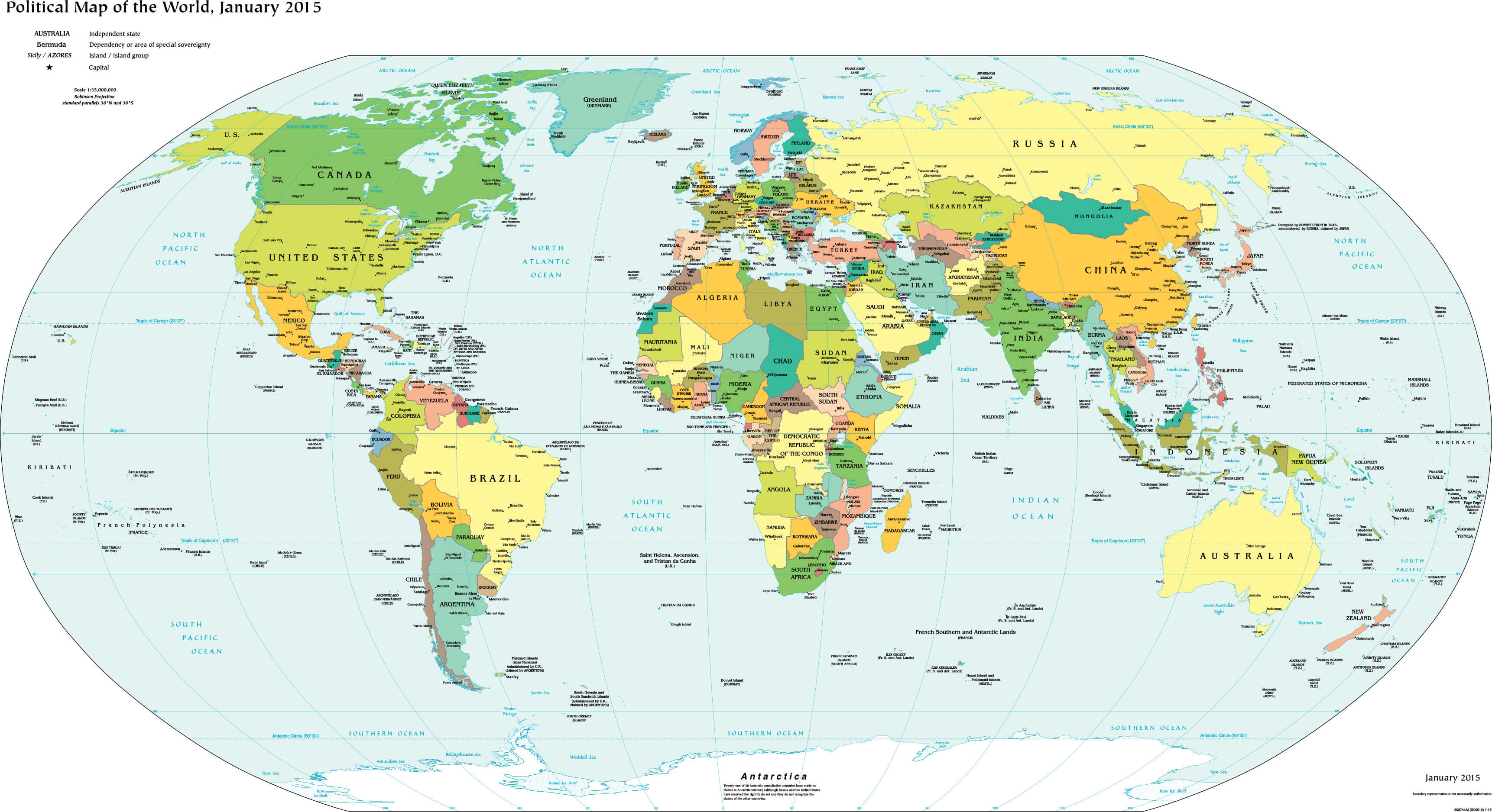
Political map of the World
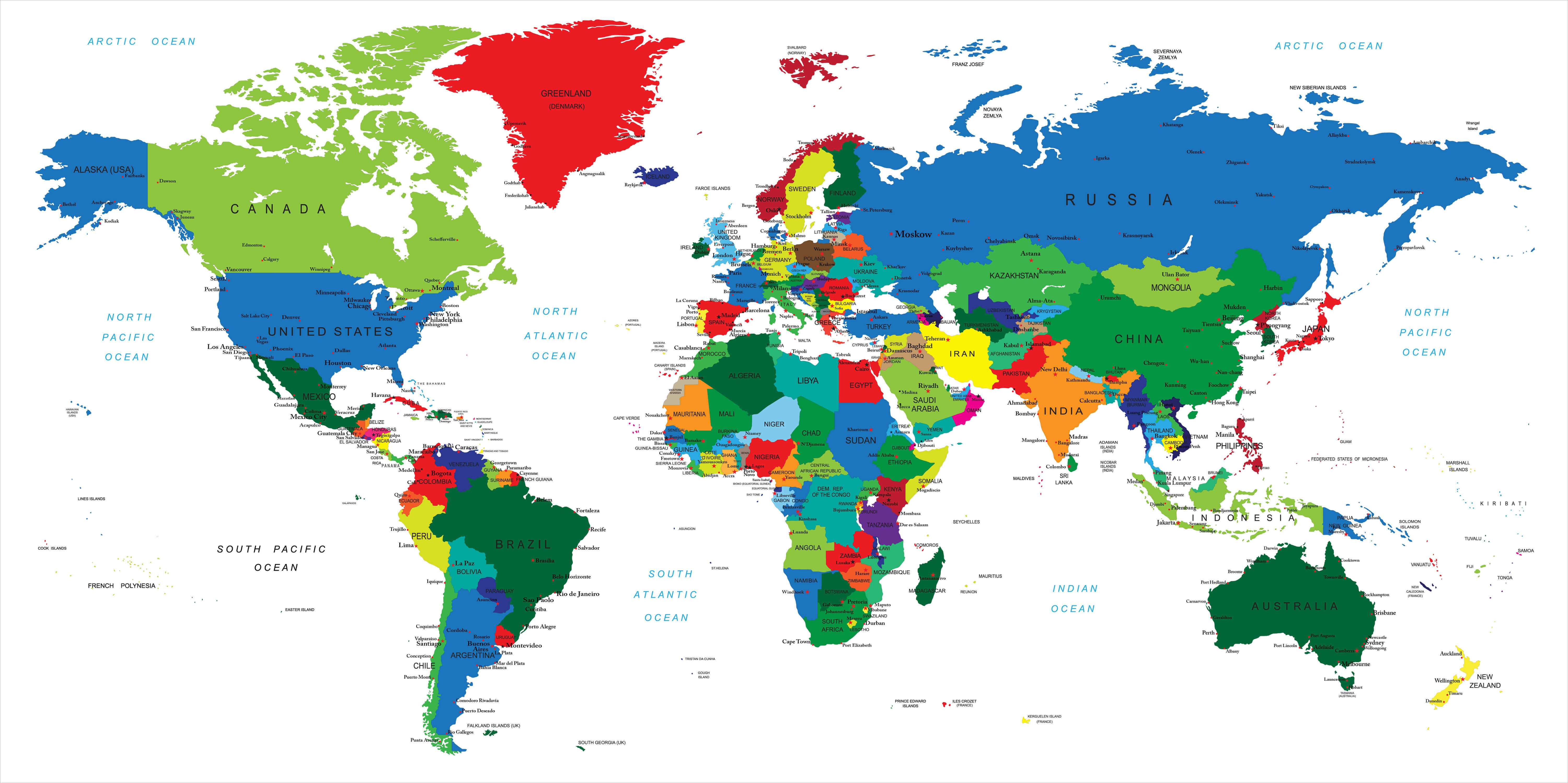
World countries boundary map
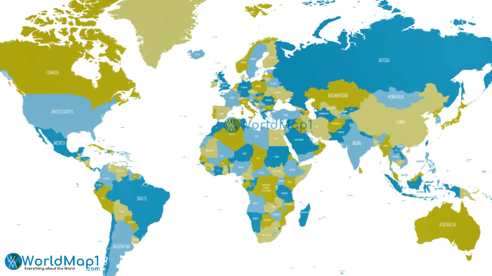
World countries international boundaries map
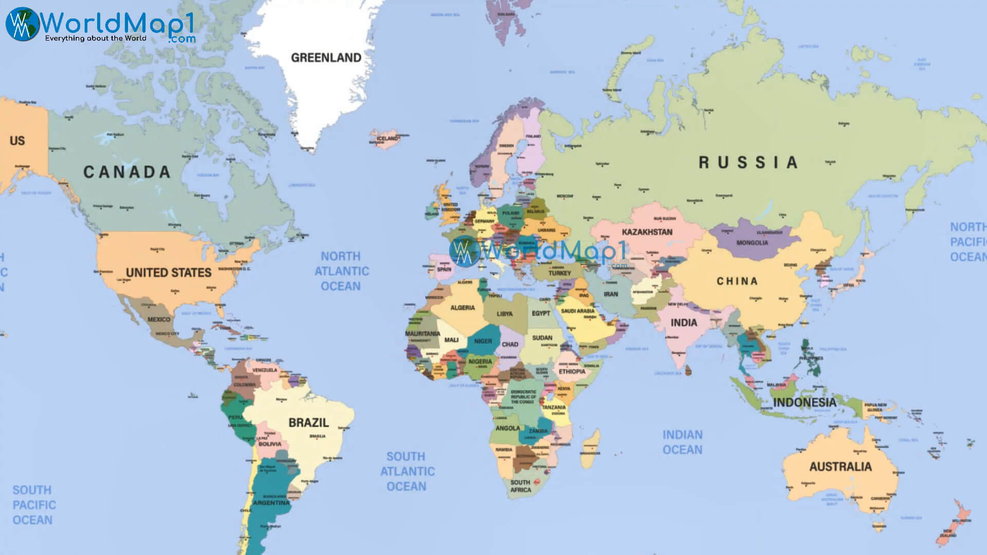
World countries politcal map by country
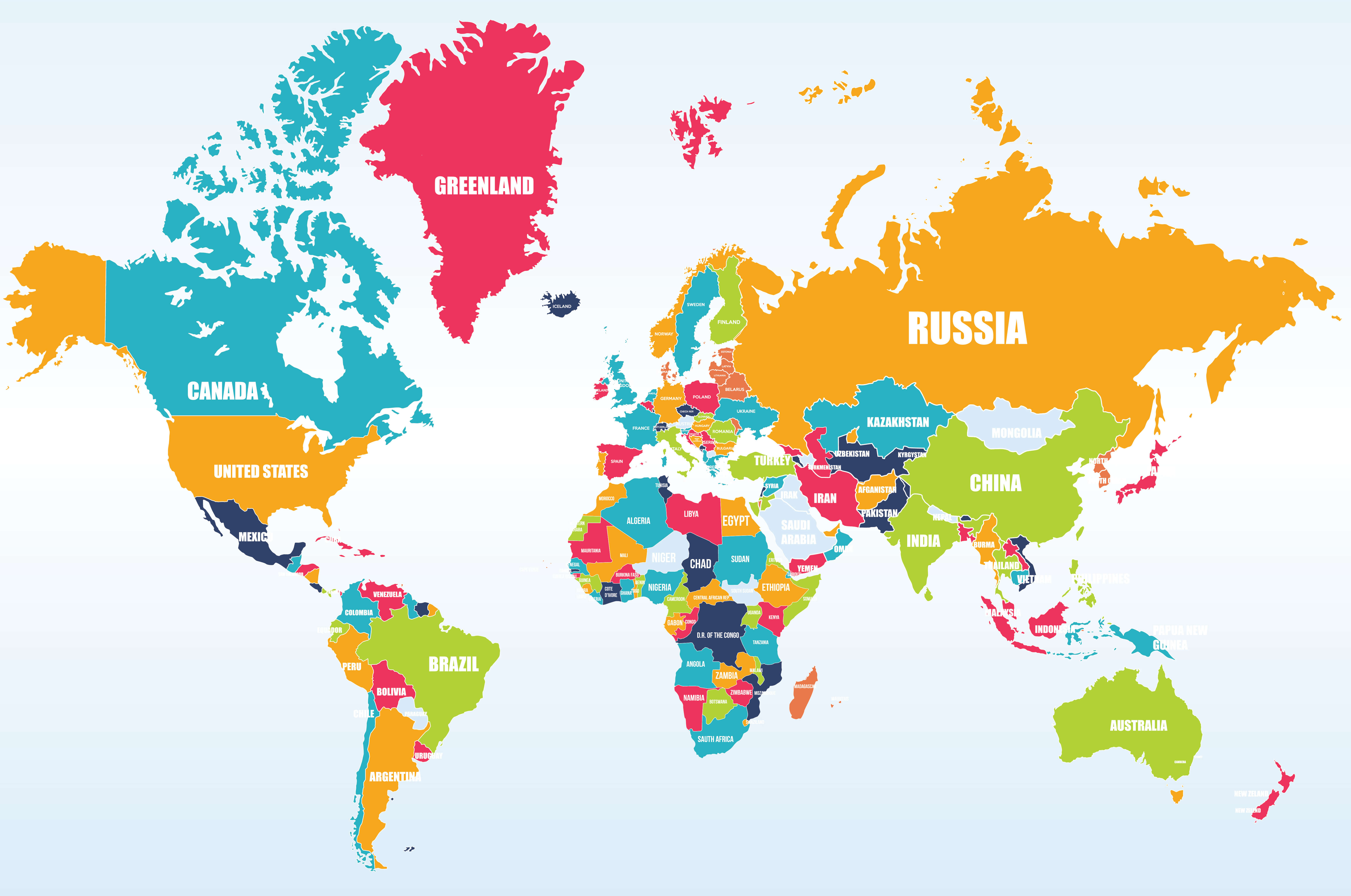
World countries political map
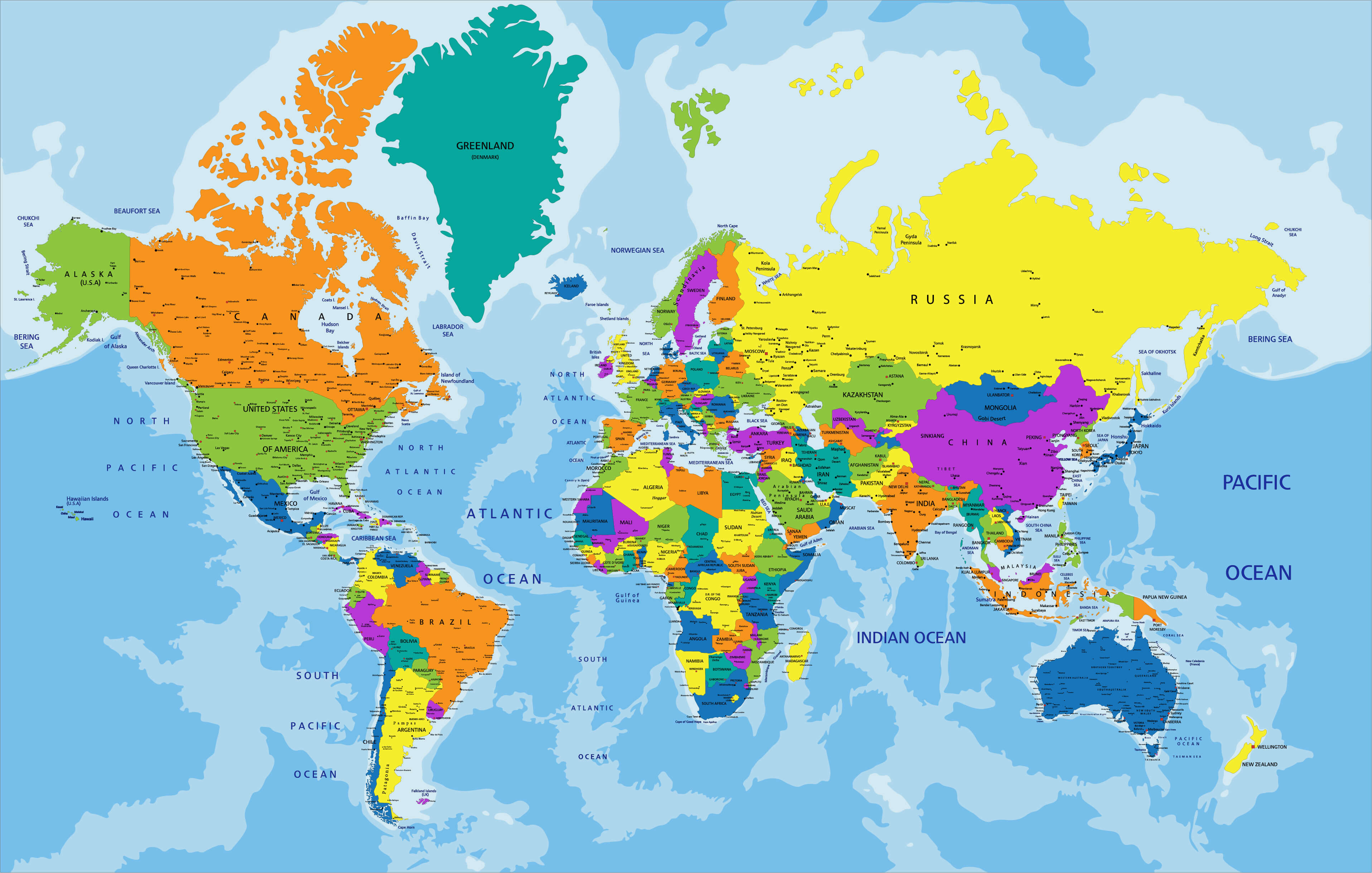
World county political map
World Globe politics map
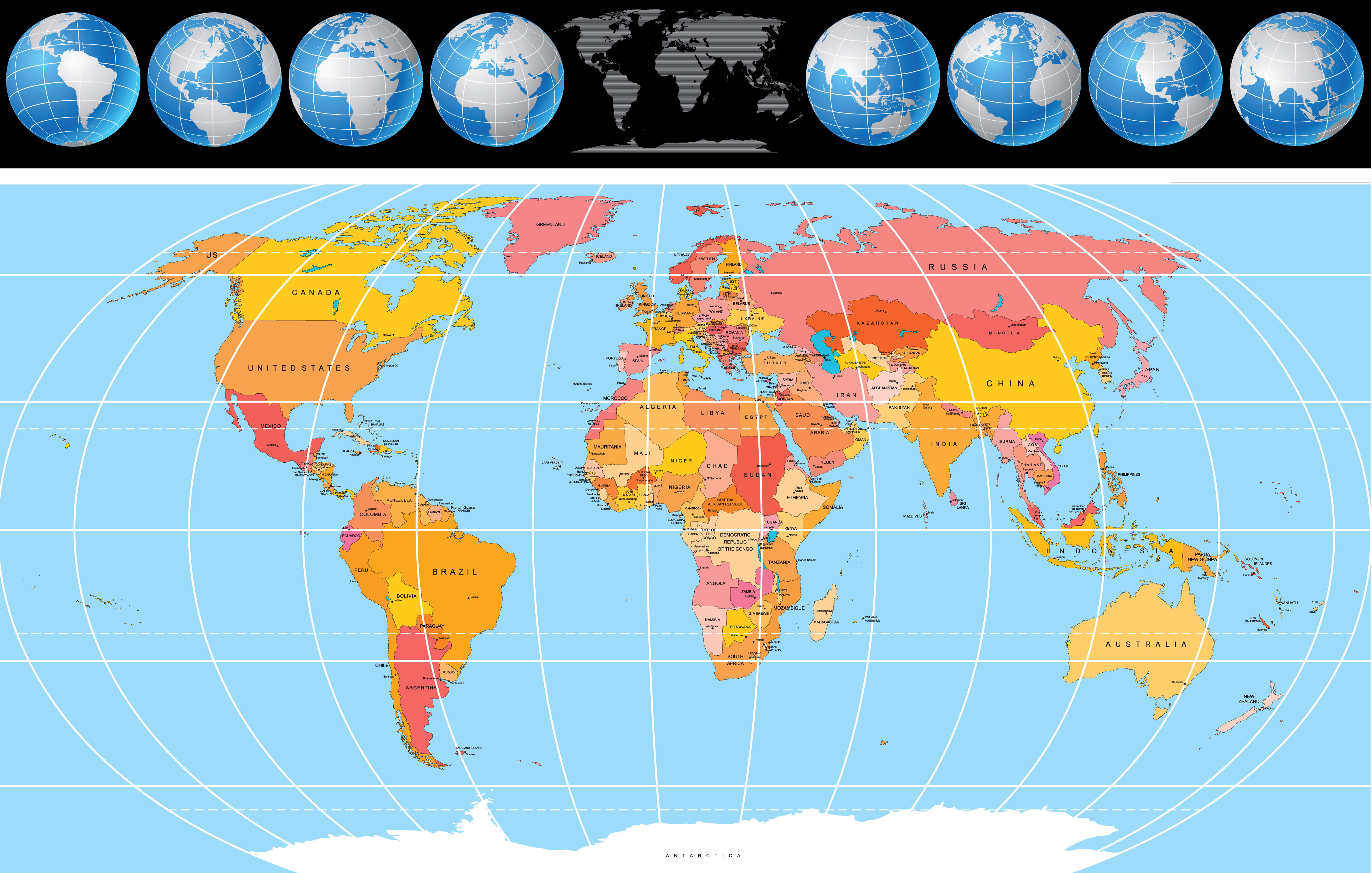
World map political
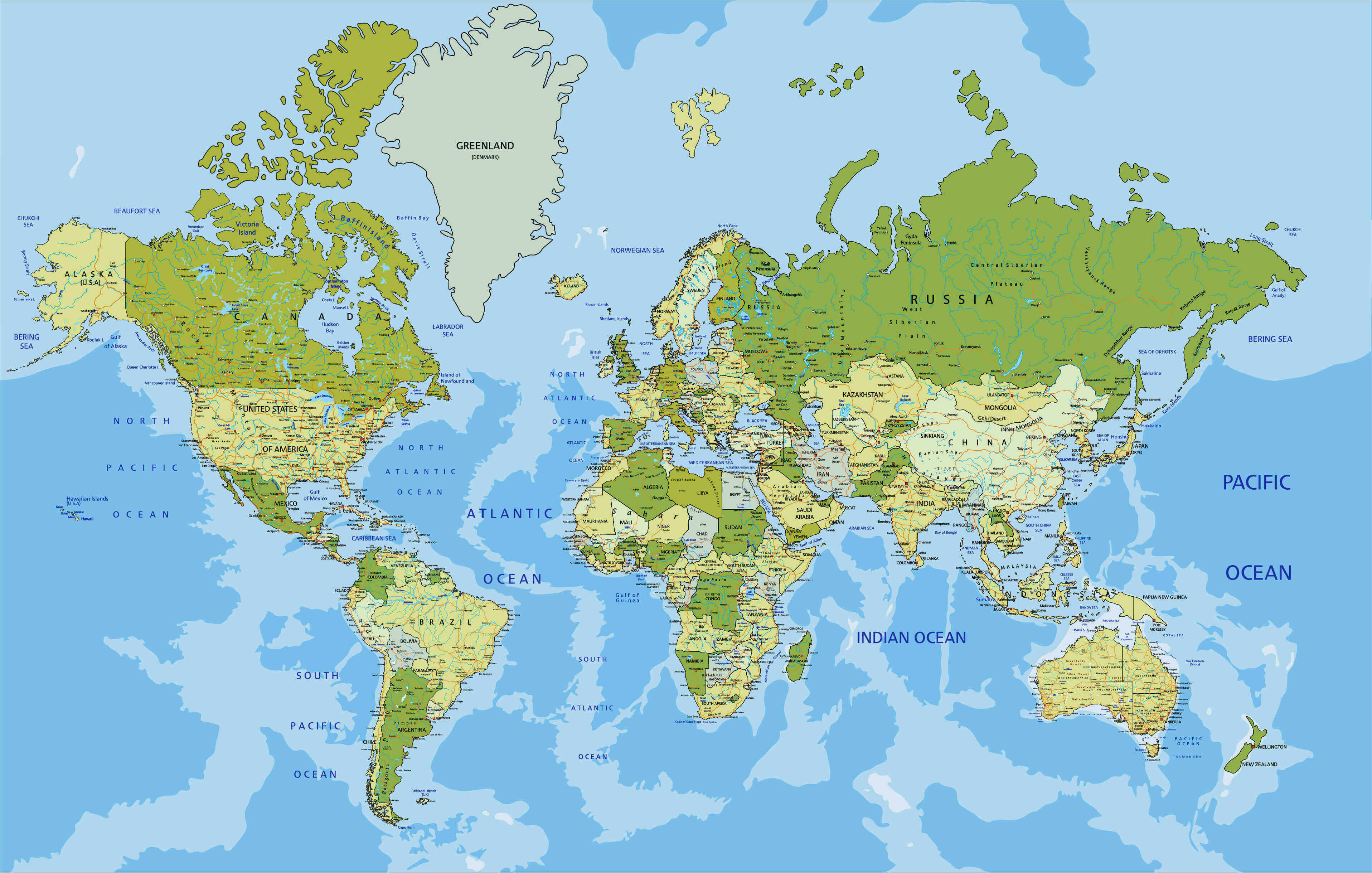
World national and political map
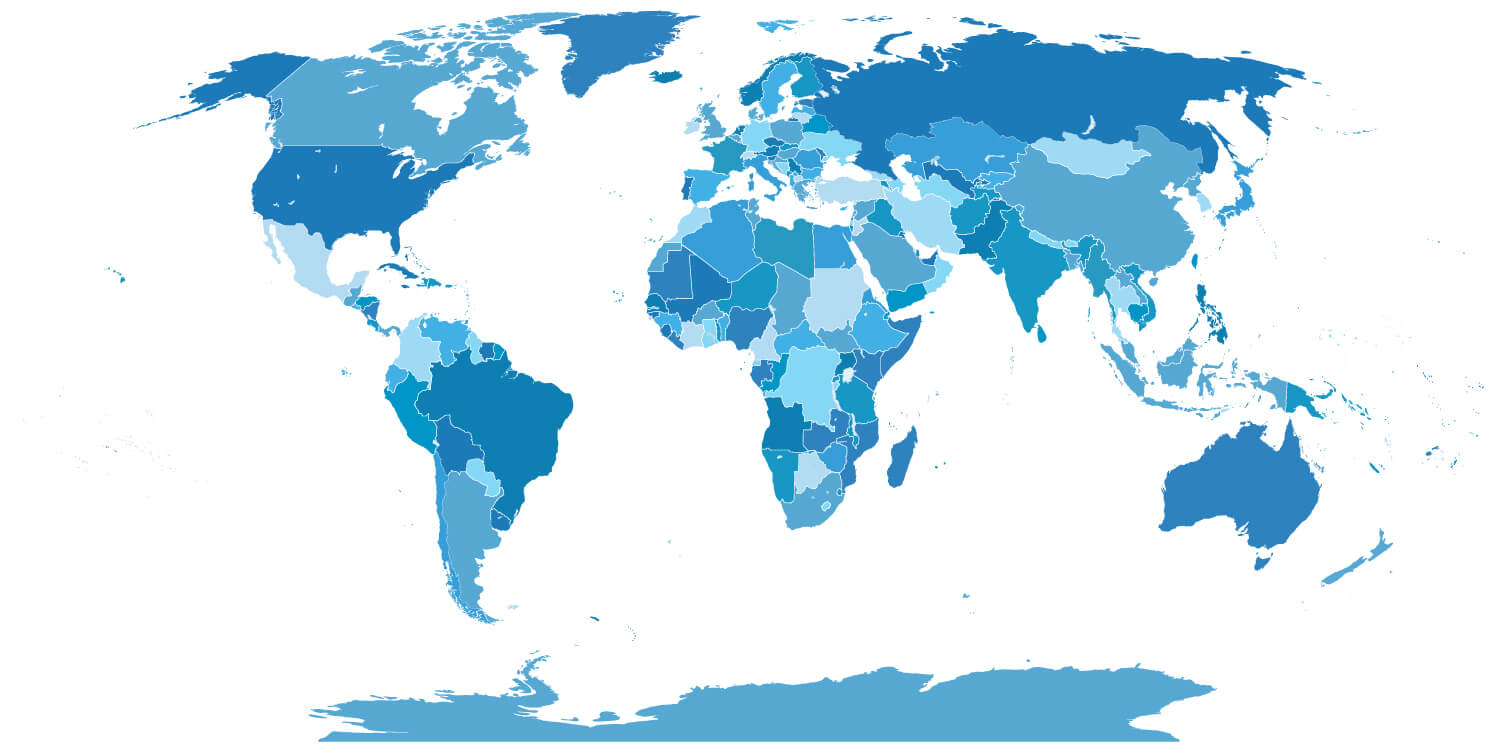
World political blank map
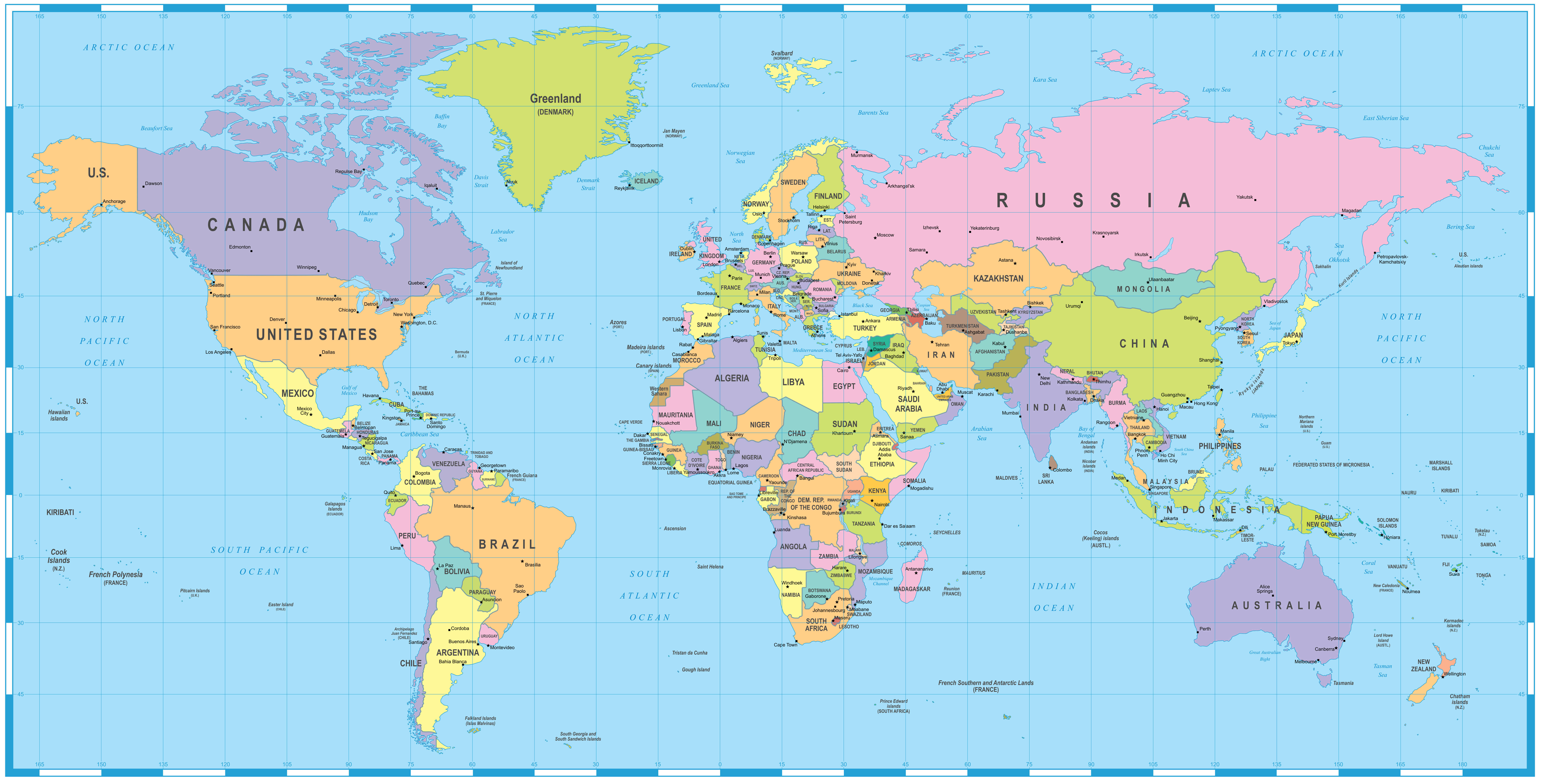
World political map capital cities
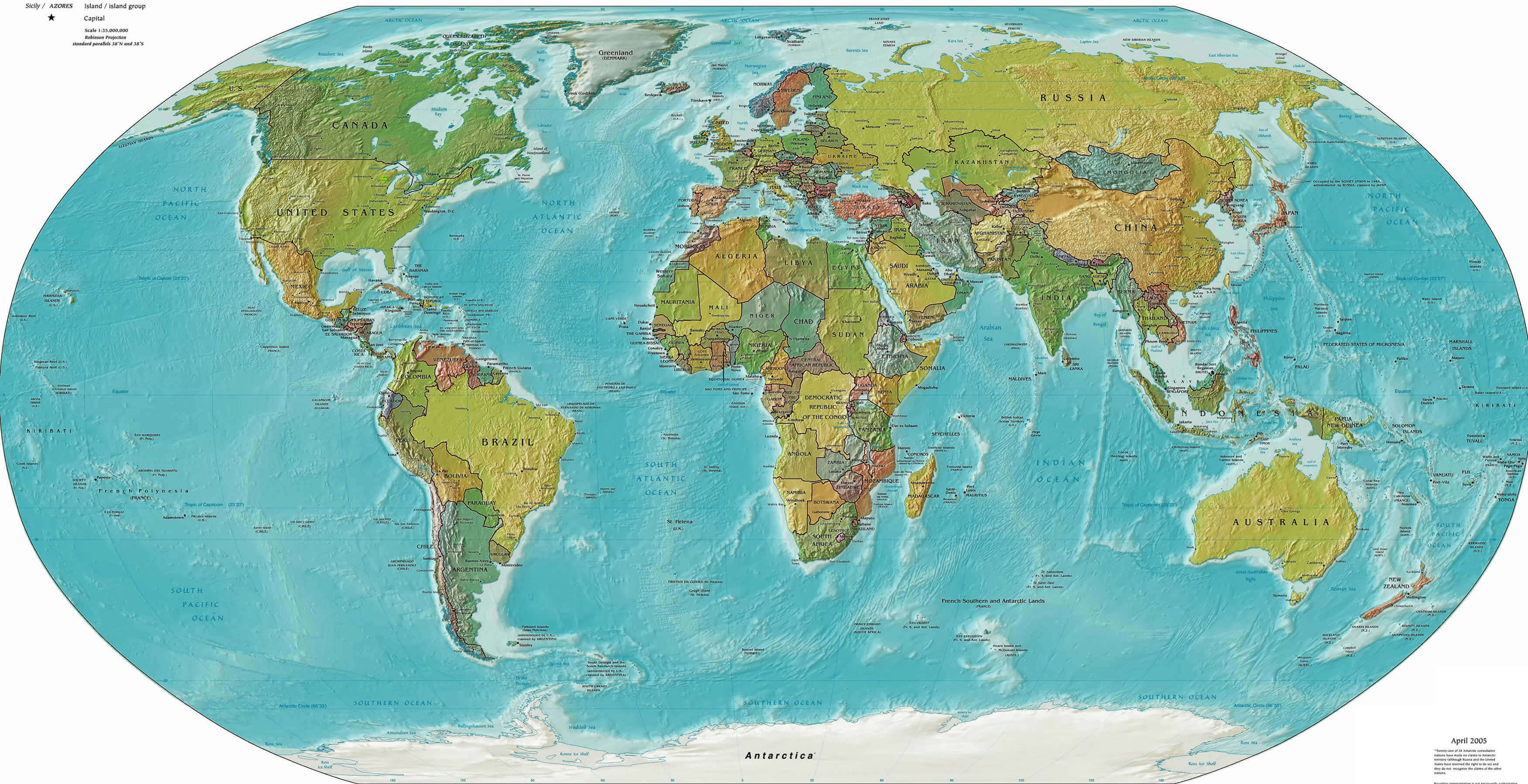
World political map countries cities
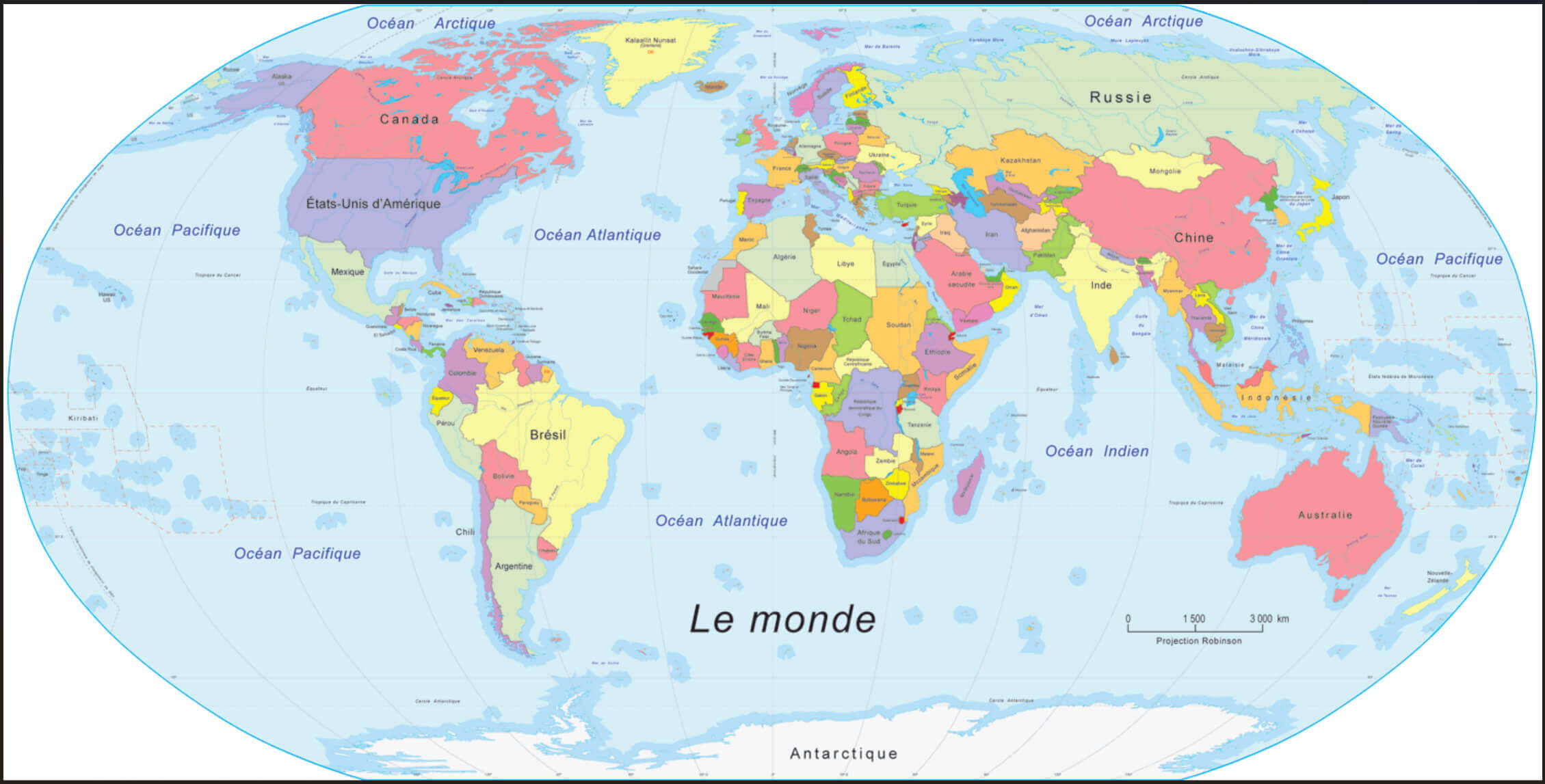
World political map in French
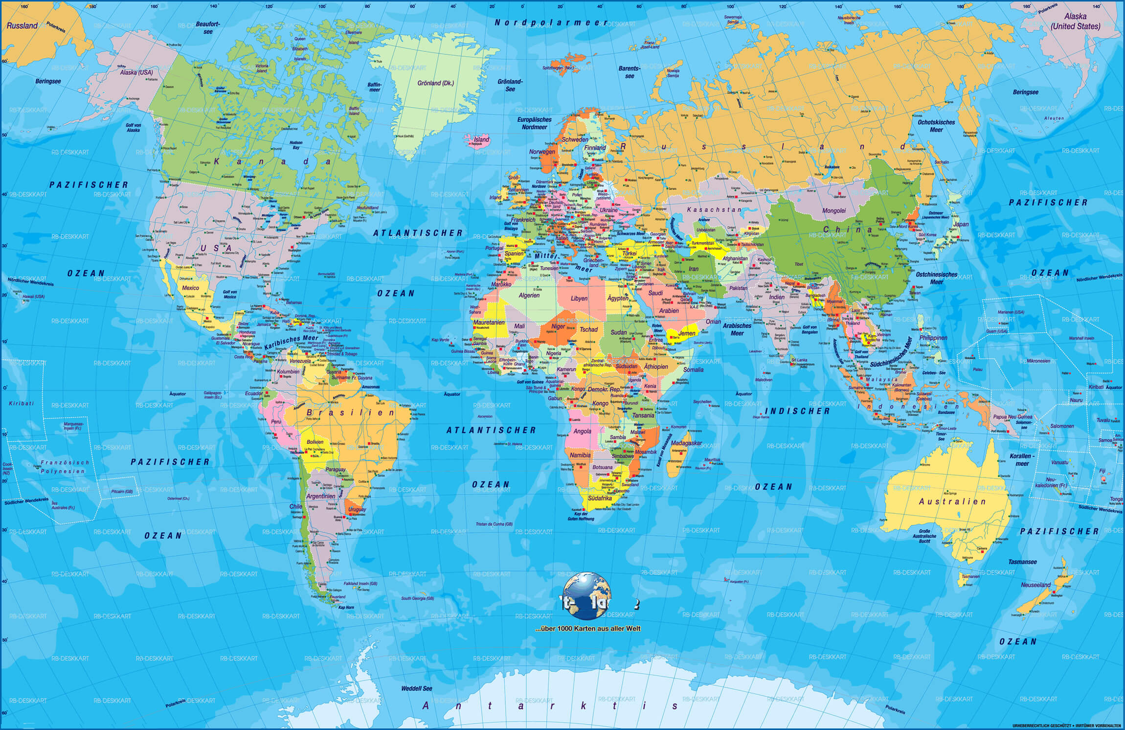
World political map in German
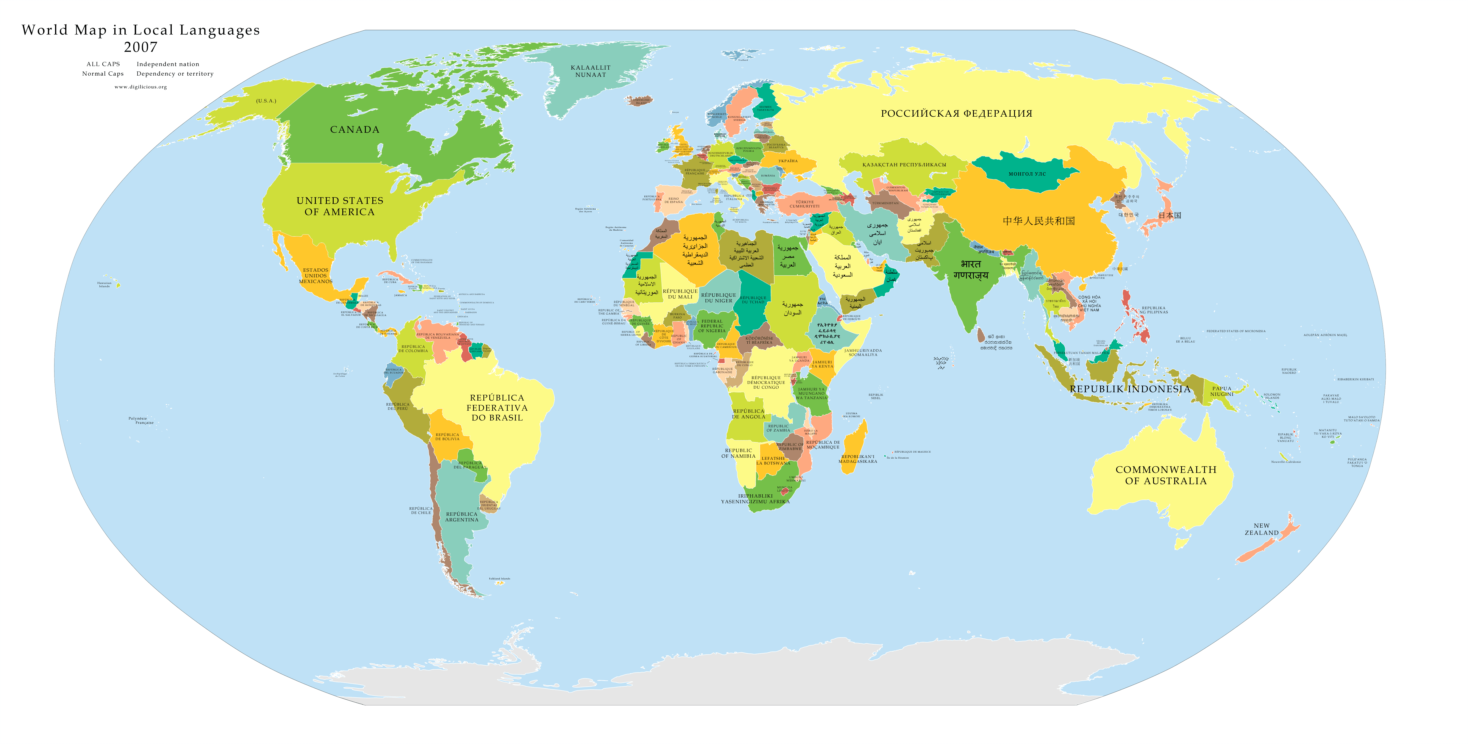
World political map in local languages
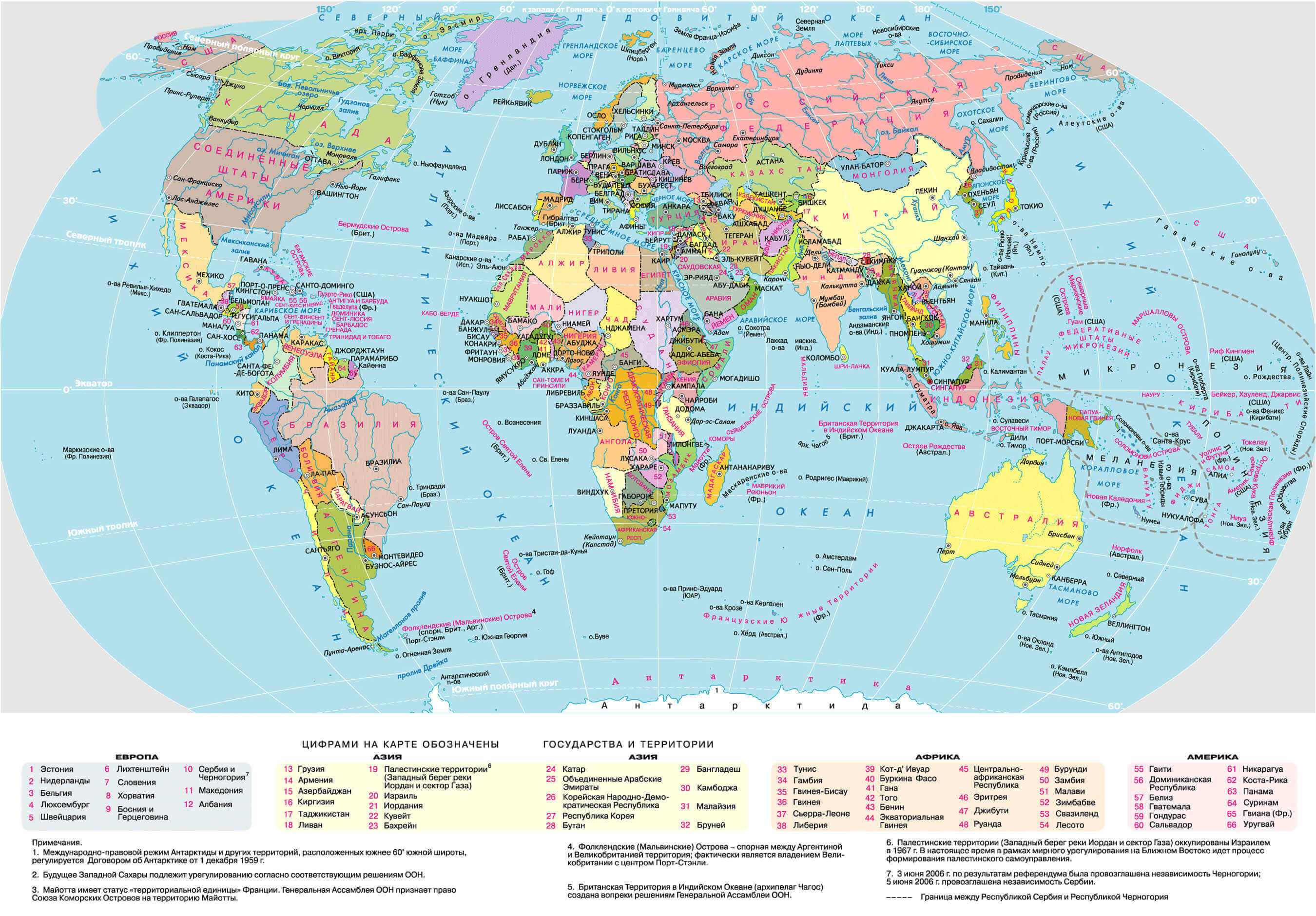
World political map in Russian
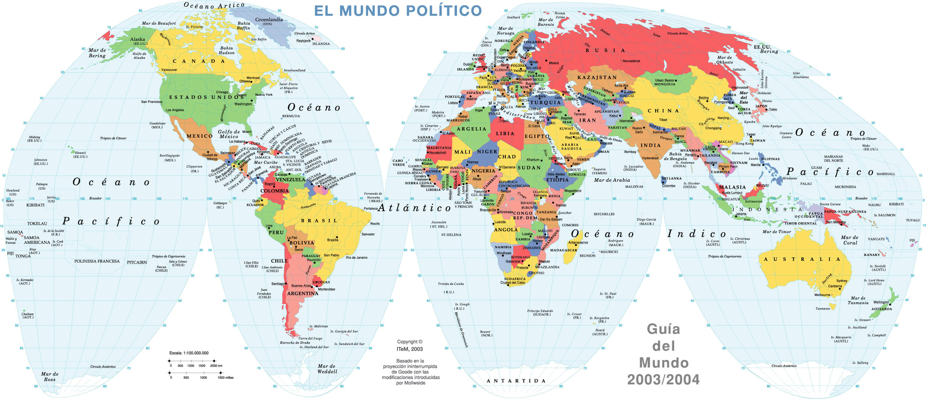
World political map in Spanish
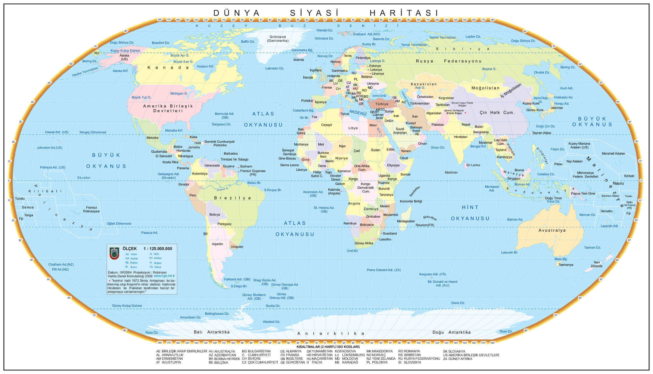
World political map in Turkish
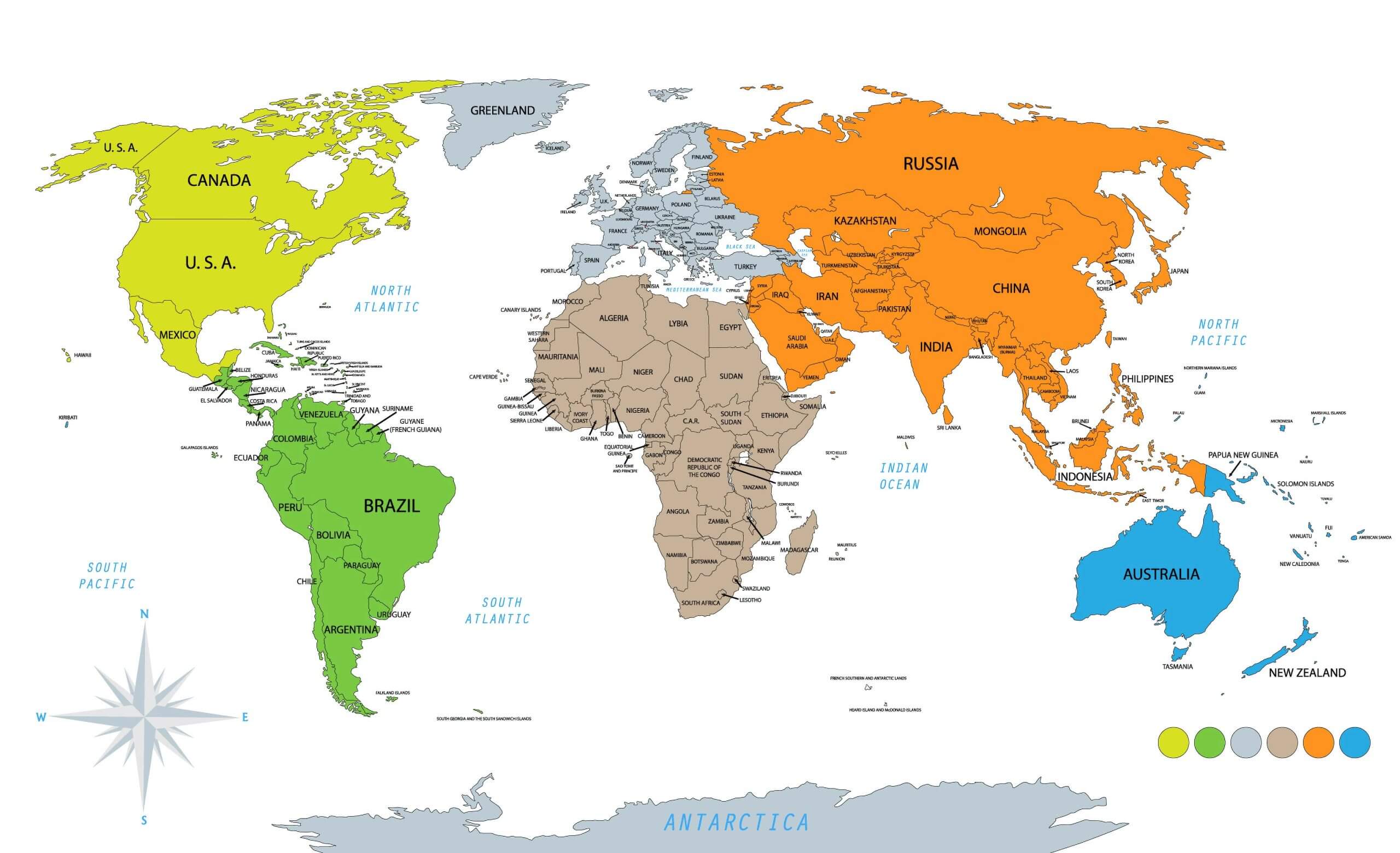
World political map with continents and countries
World political map with countries national borders
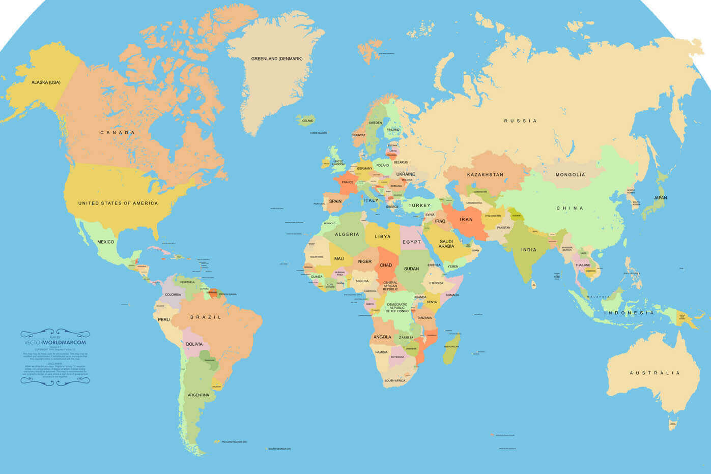
World political map with countries
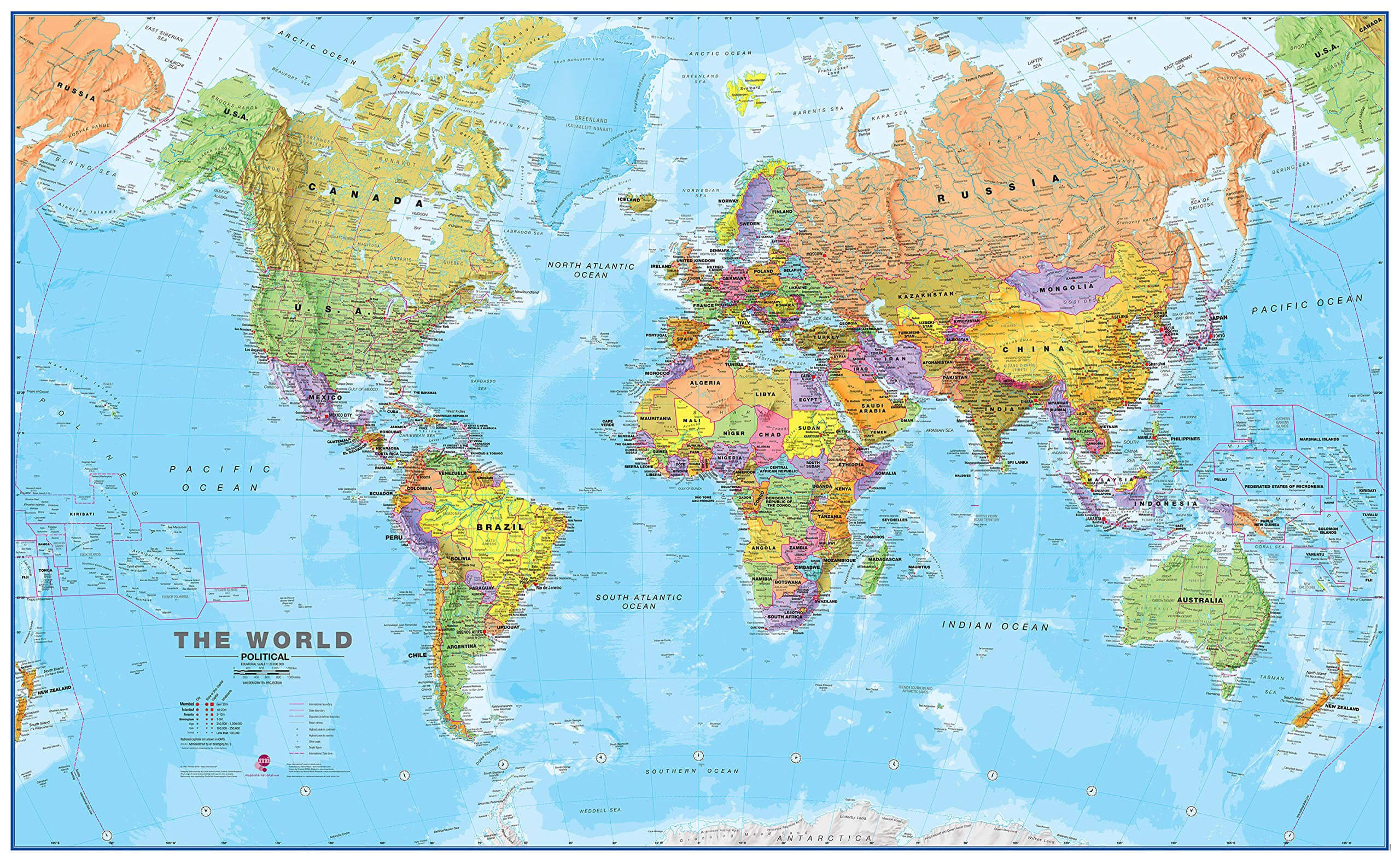
World political map with Europe continent in Turkish
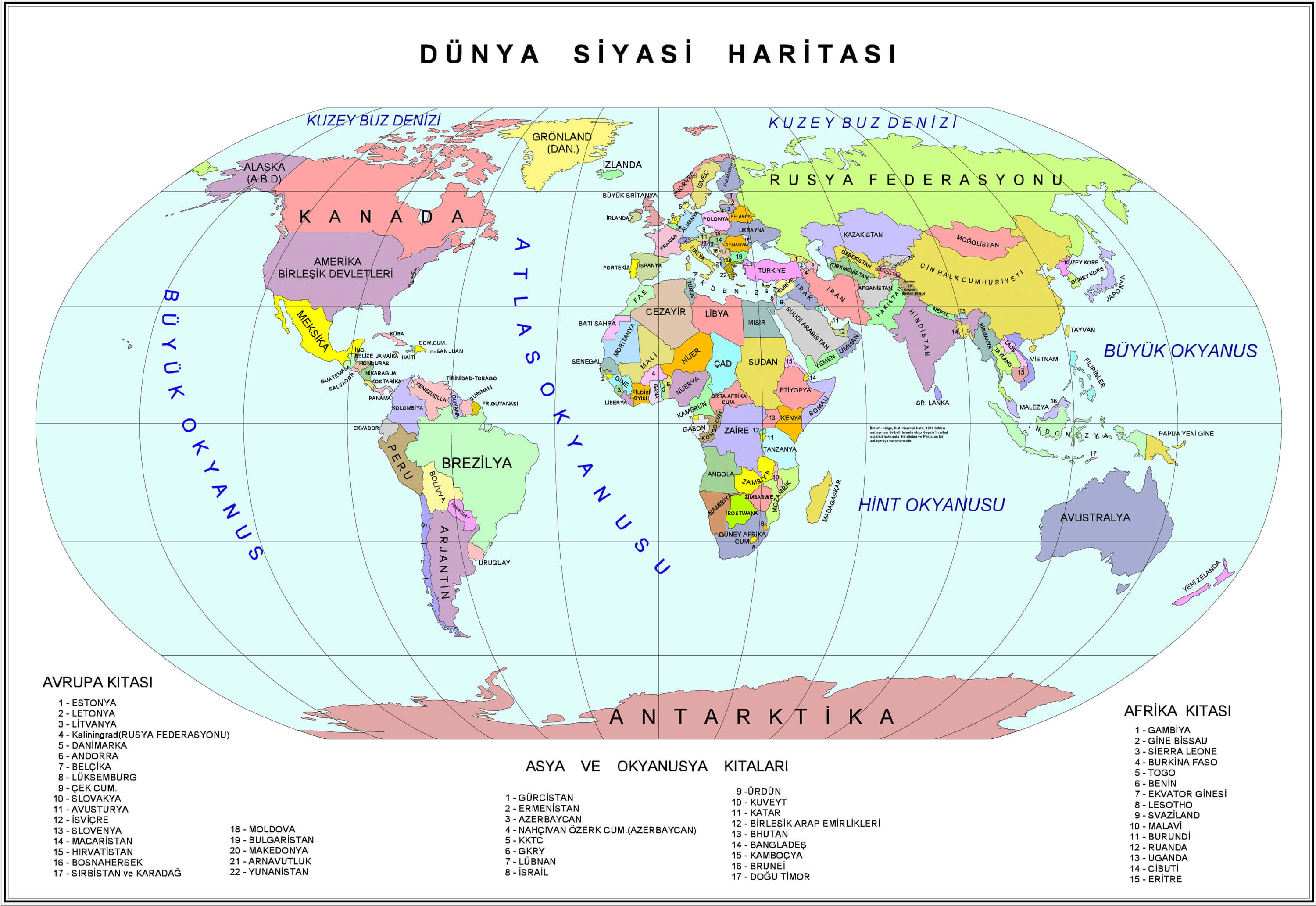
World political map with longitude and latitude
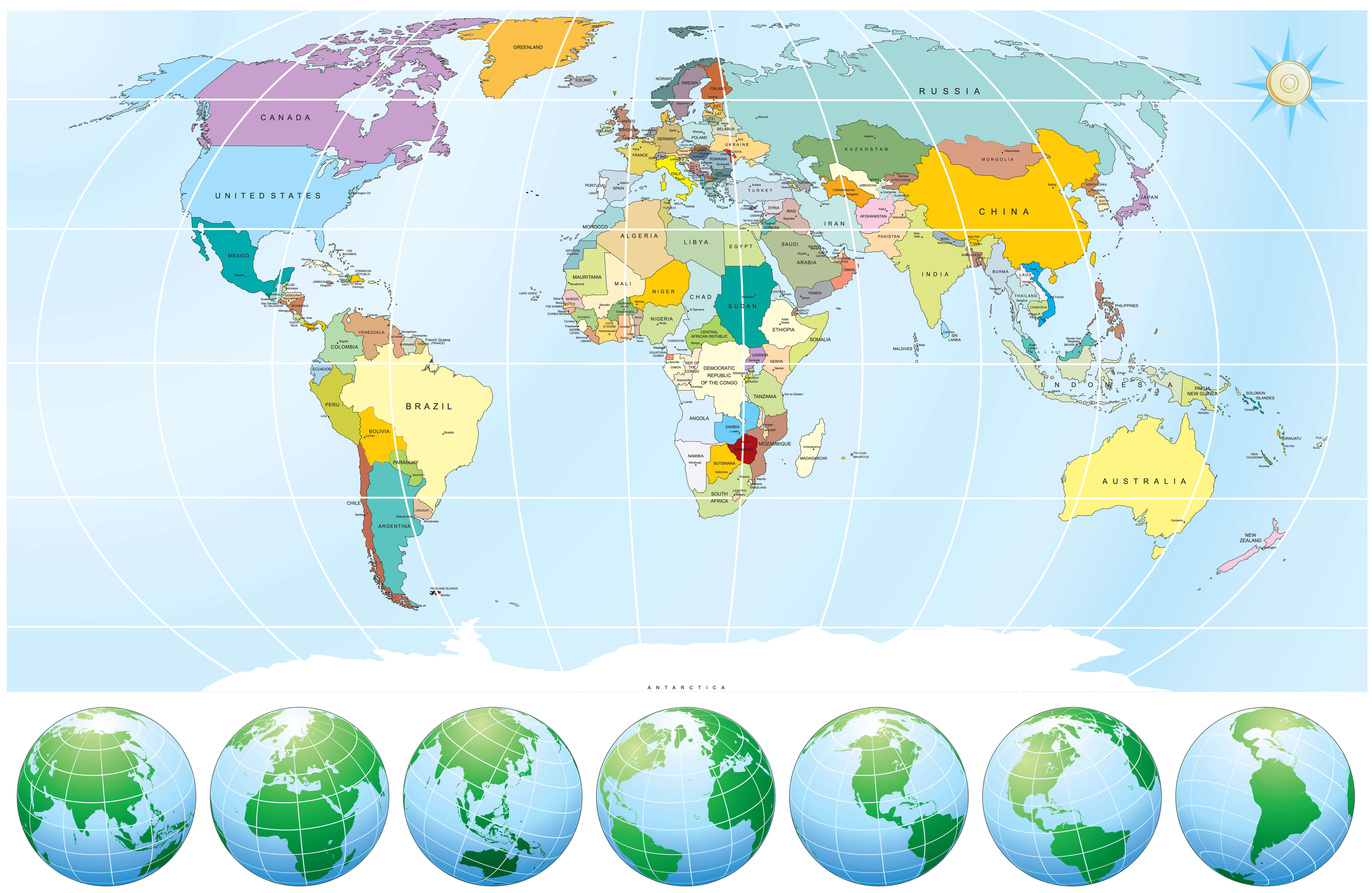
World political map with oceans
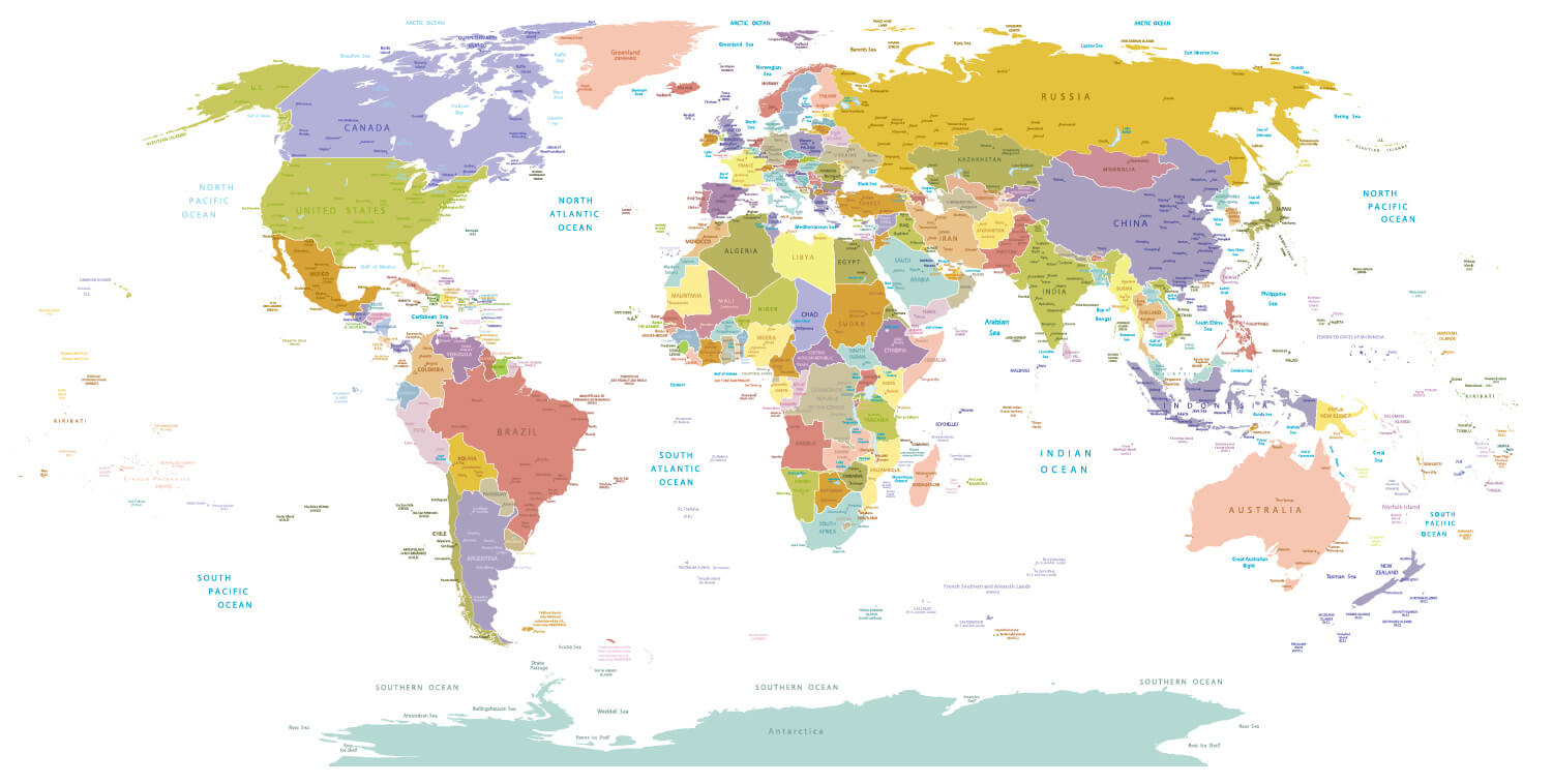
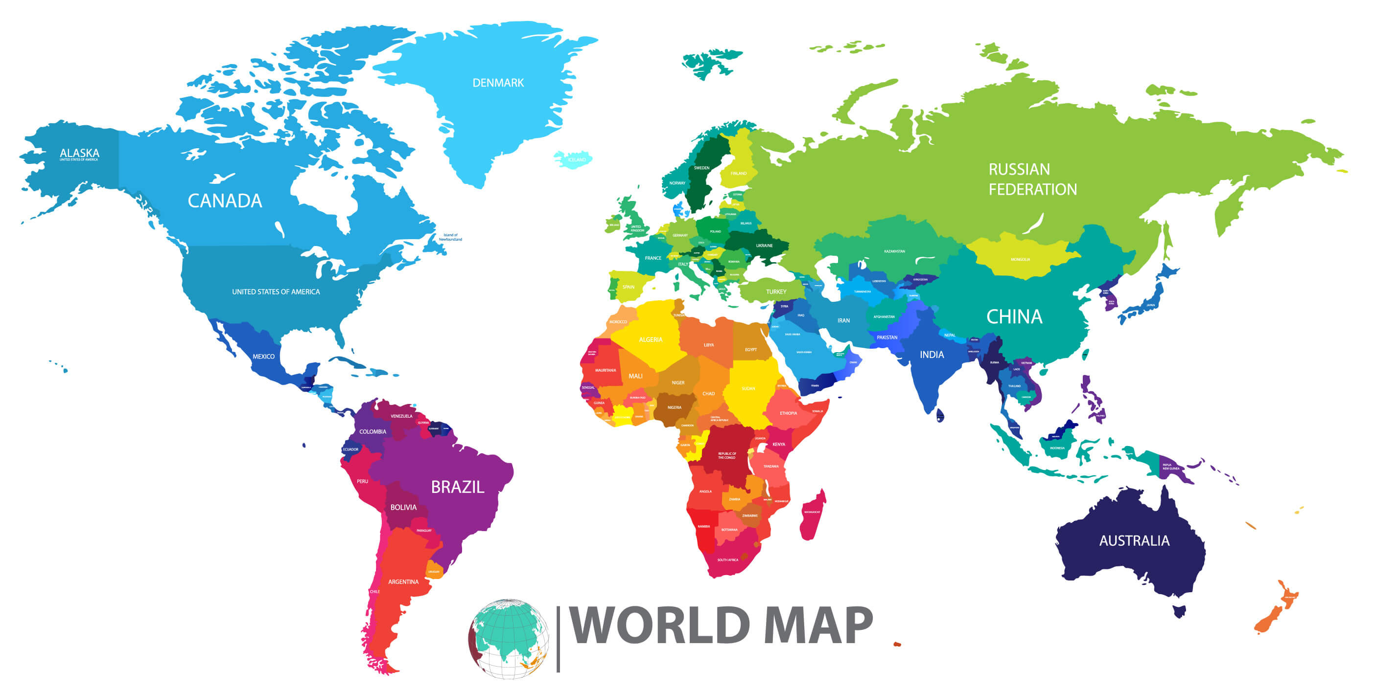
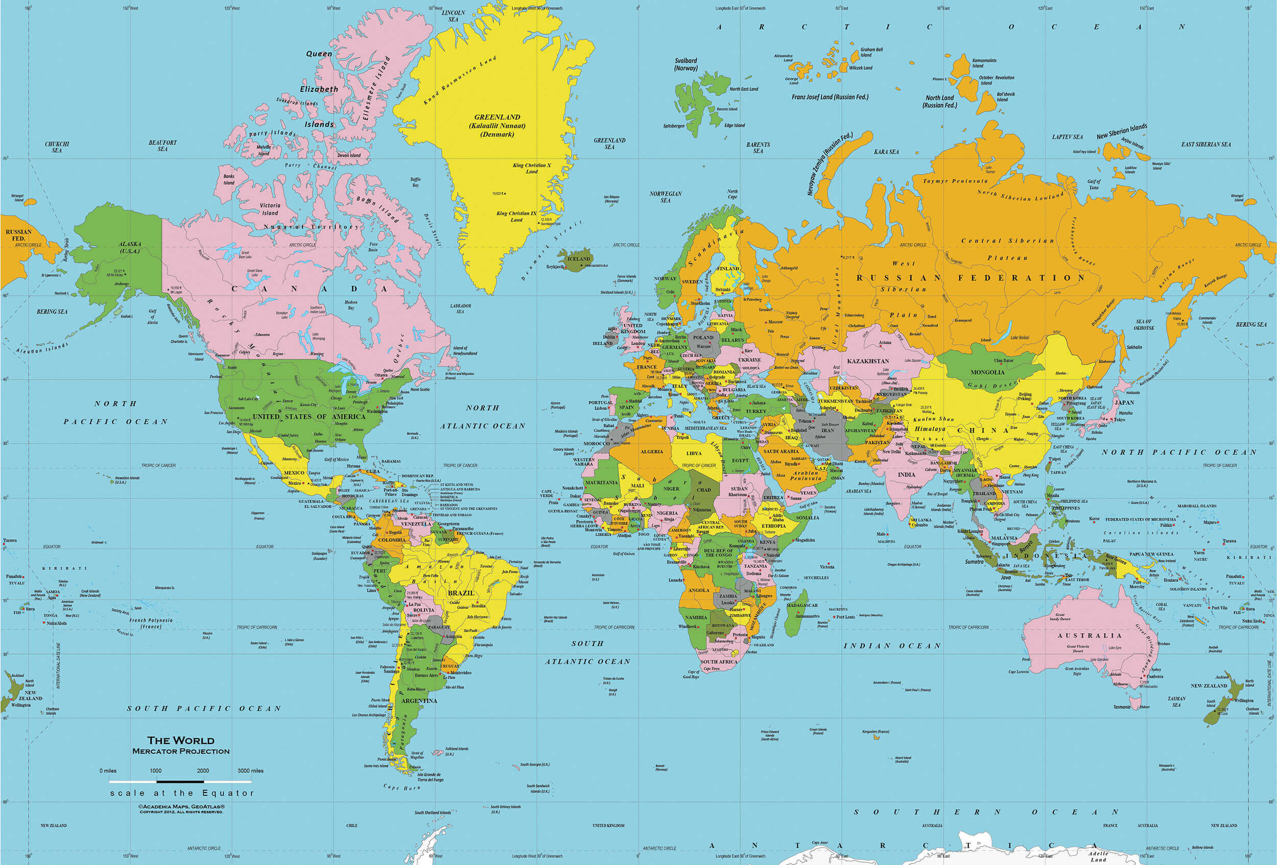
World political map
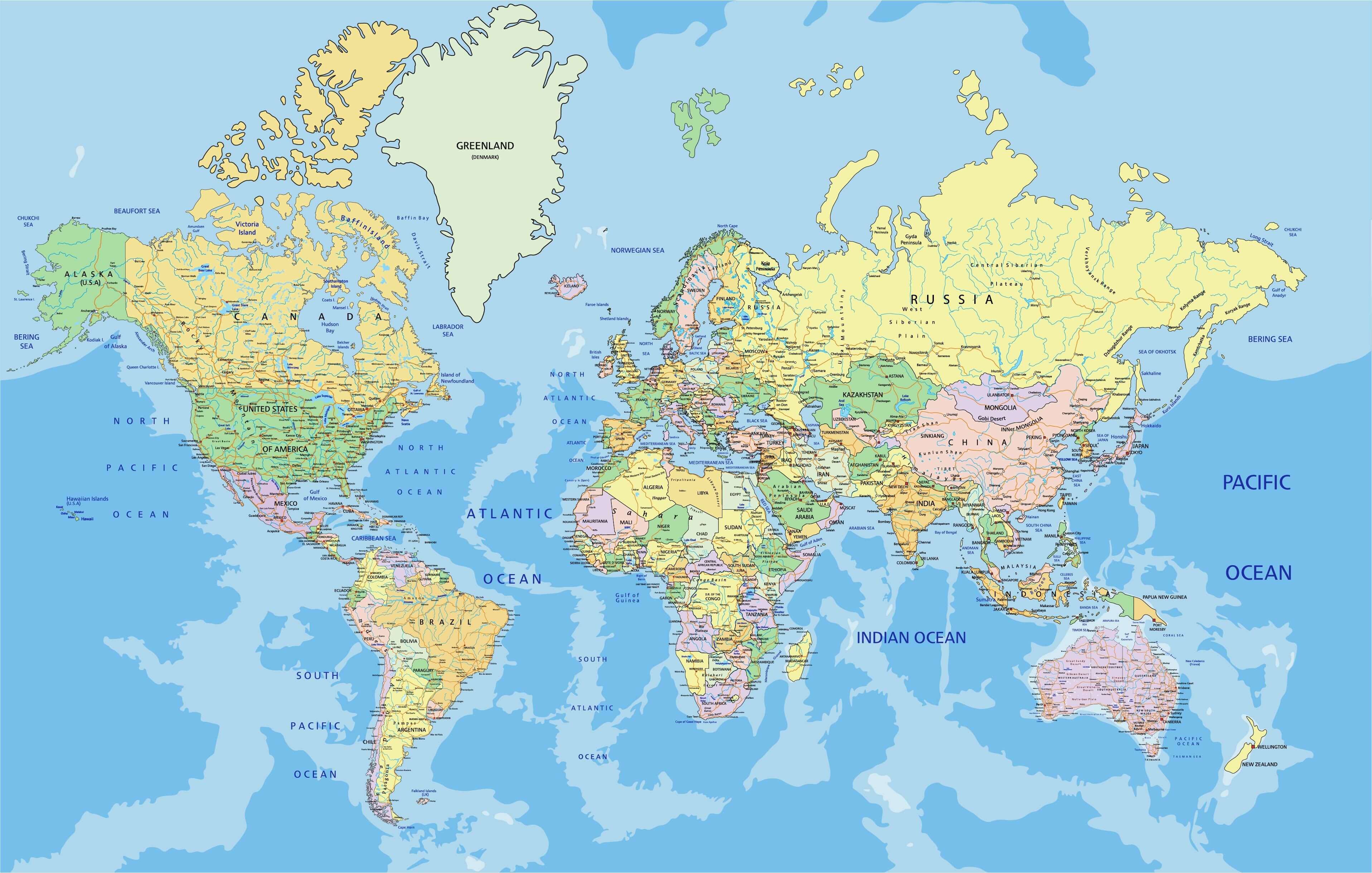
World political maps

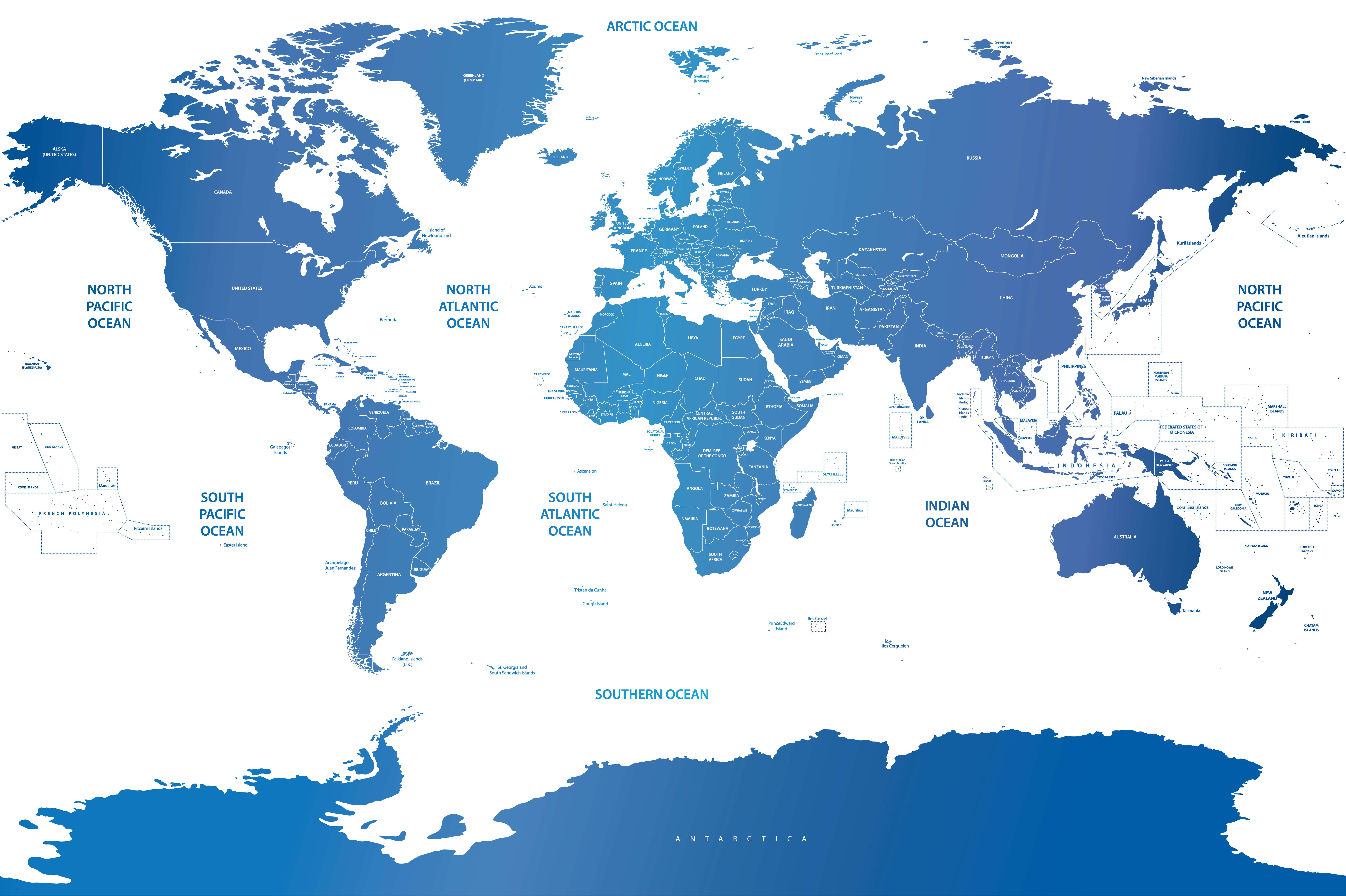
World politics map with Arctic and Southern Ocean
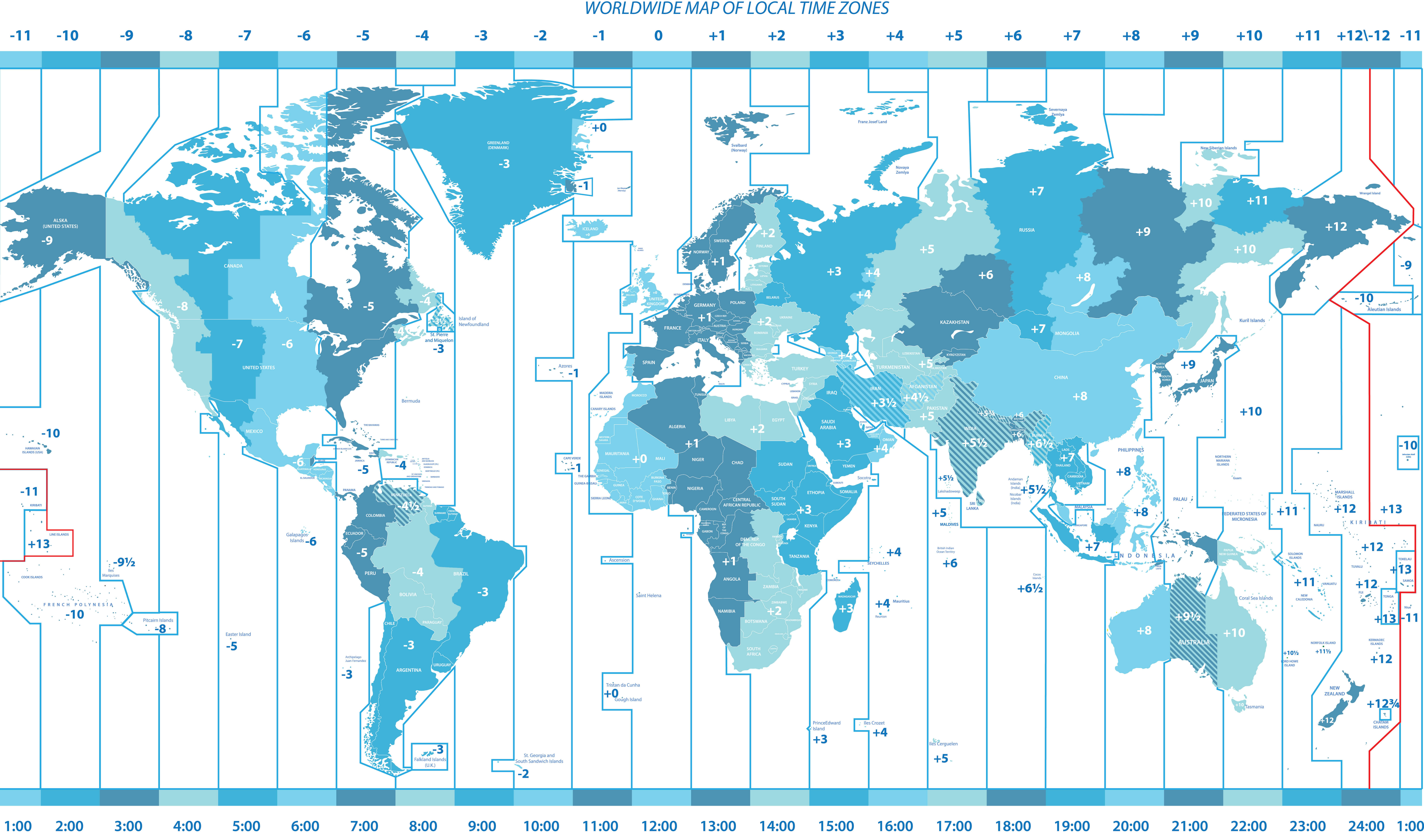
Worldwide political map of local time zones
Where are countries located in the World?
Show Google Maps and satellite maps of where the country is located.
Get directions by driving, walking, bicycling, public transportation, and travel with street view.
Feel free to explore these pages as well:
- Political Map of the World ↗️
- World Maps with Countries ↗️
- More World Maps ↗️
- Map of World Countries ↗️
- World Images and Maps ↗️
- World Continents Map ↗️
- World Map ↗️
- World Time Zone Map ↗️
- Explore World Satellite Map ↗️
- Free World Map ↗️
- World Physical Map ↗️
- World Blank Map ↗️
- World Countries Map ↗️
- World Political Map German ↗️
- World Political Maps ↗️
- World Political Map English ↗️
- A Collection of World Maps: Navigating Our Beautiful Planet ↗️
- World Map Continents ↗️
- A collection of World Maps ↗️
- Map of World ↗️
- Map of the World ↗️
- Maps of the World ↗️
- Physical Map of the World ↗️
- World Climate Map ↗️
- World Elevation Map ↗️
- World Literacy Rate Map ↗️
- World Temperature Distribution Map ↗️
- World Political Map English ↗️
- World Topographic Map ↗️
- World Satellite Map ↗️
- World Historical Maps ↗️
- World Physical Maps ↗️
- World Maps in Different Languages 1 ↗️
- Earth Map ↗️
- High Resolution World Map ↗️
- Advertisement -
