Explore a diverse collection of maps of Europe, including physical, political, and relief maps. Dive into detailed satellite images, blank outlines, and topographical views of Europe. Whether you’re looking for maps of countries, regions, cities, or roads, you’ll find resources that highlight rivers, national boundaries, and key landmarks. Perfect for those curious about Europe’s geography or in need of comprehensive atlases with everything from road directions to regional overviews
Europe Maps
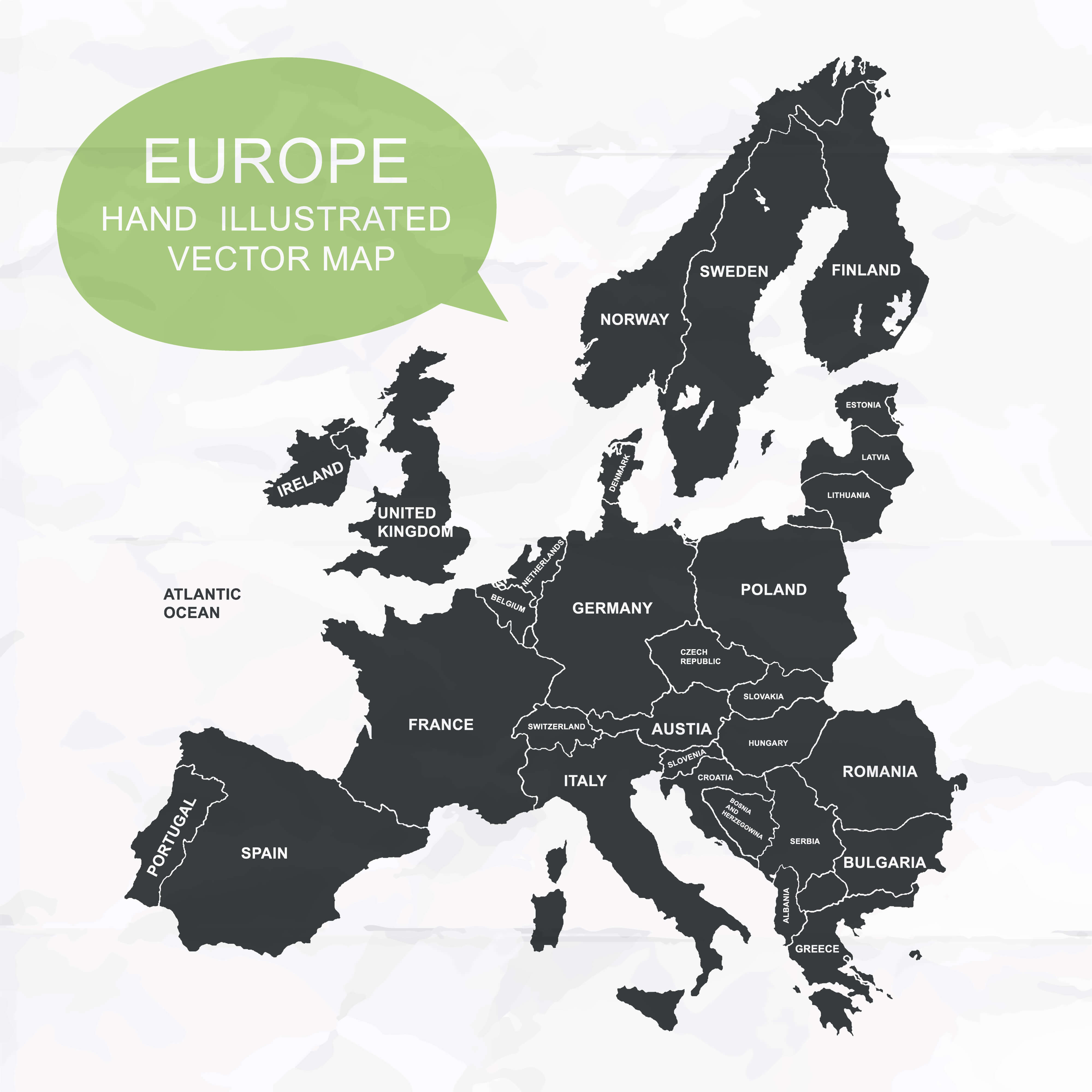
European Countries Blank Map with National Borders.
Europe Physical Map
 Physical Map of Europe, Asia, and Africa Continents.
Europe Political Map
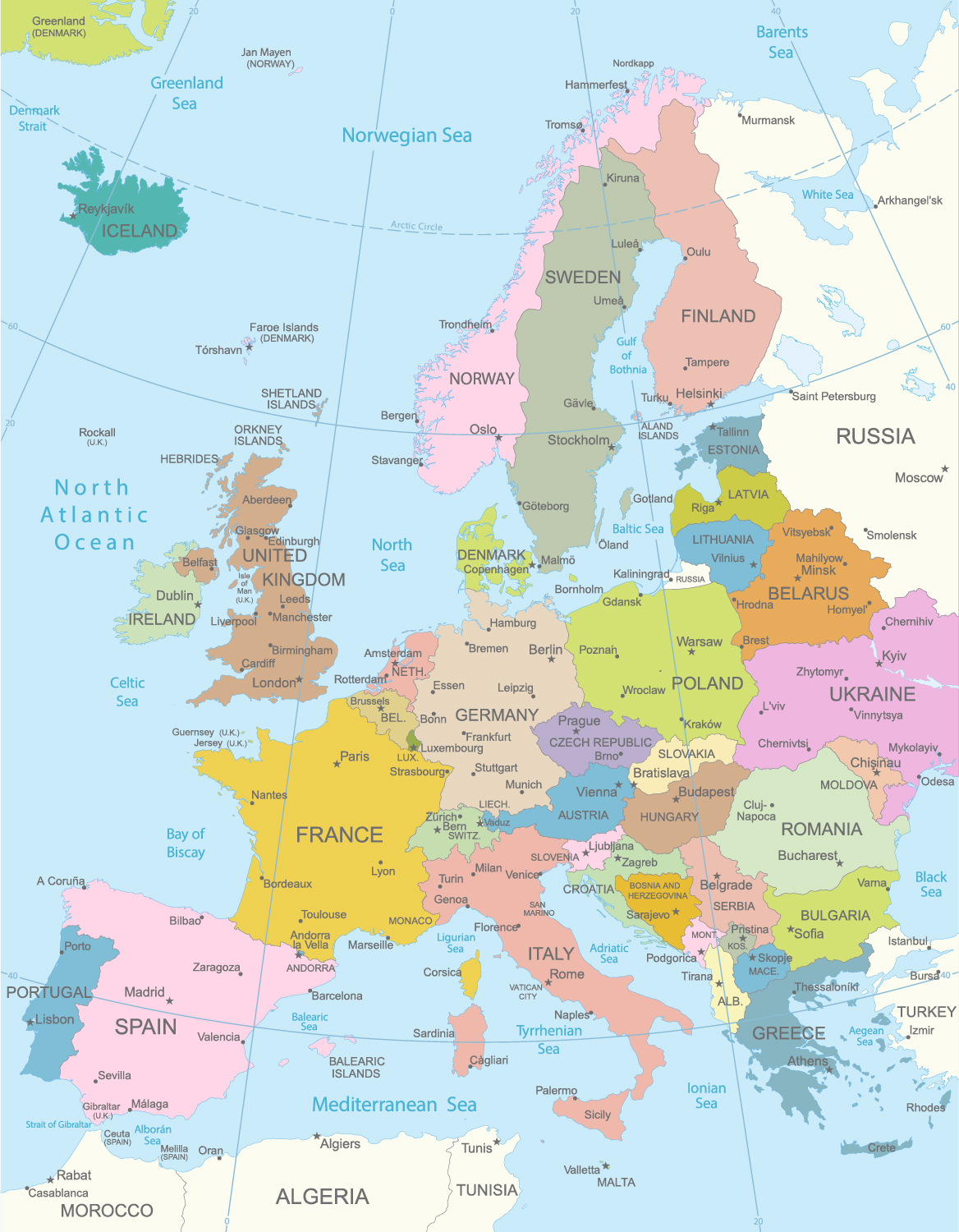
Political map of Europe, EU Members, East Europe Countries Political Maps.
Europe Satellite Map
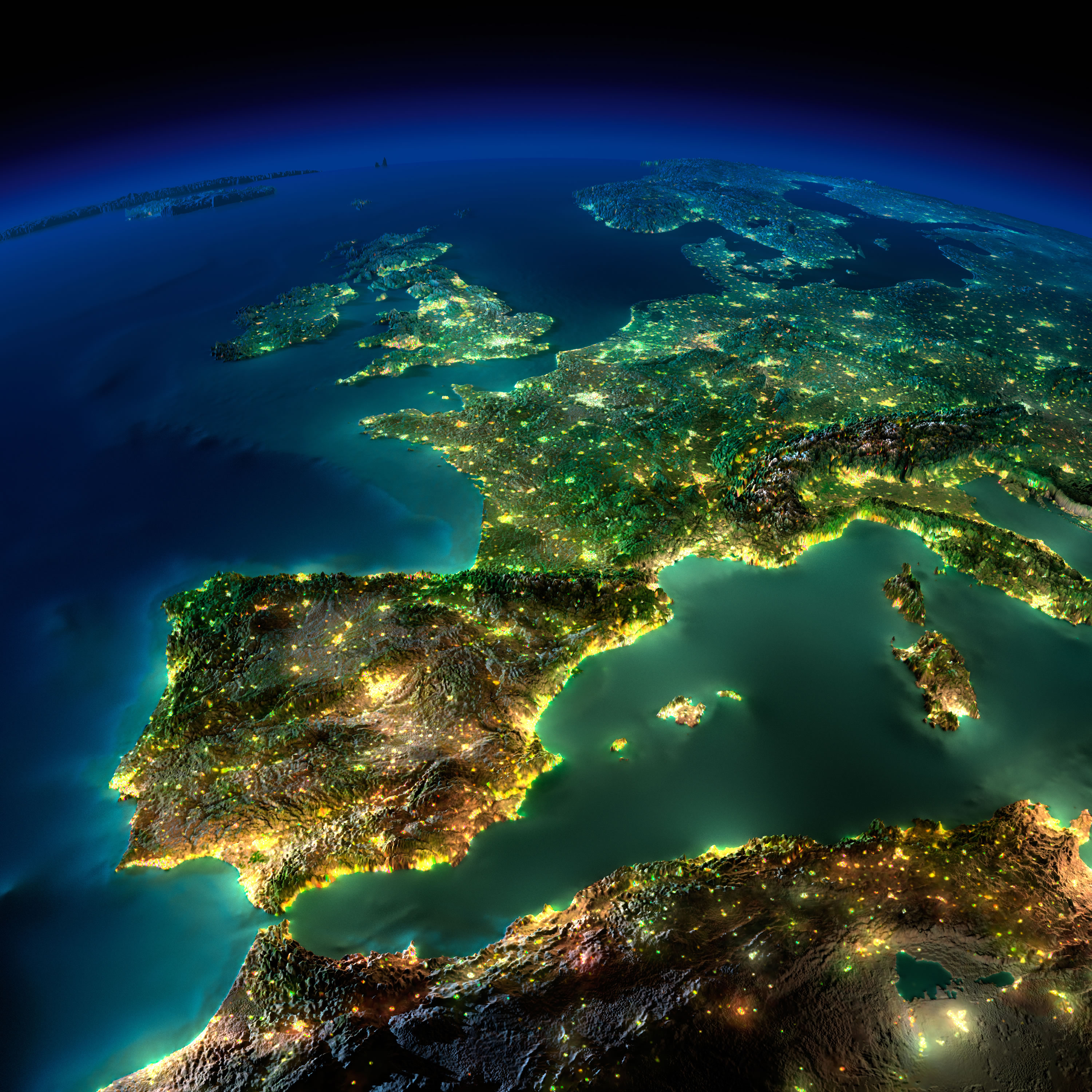 Satellite Map of Europe from space night view.
Map of Europe and Asia
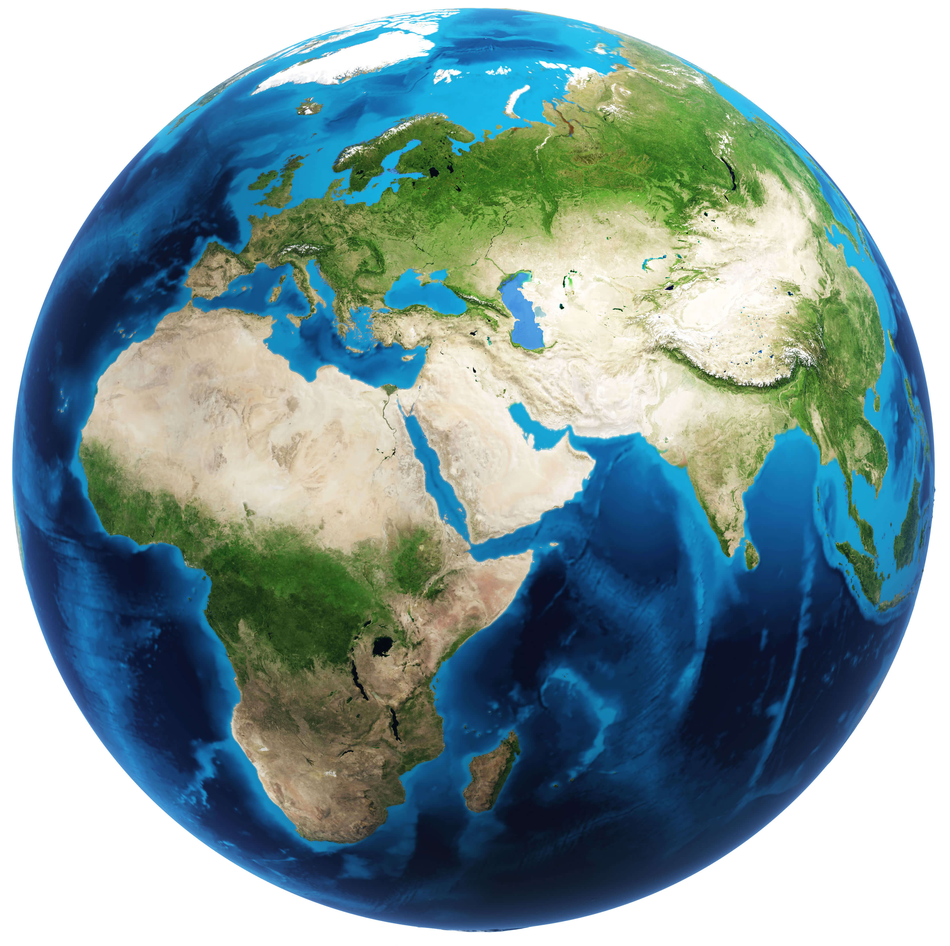 Global Map of Europe with Asia and Africa.
Physical Map of Europe
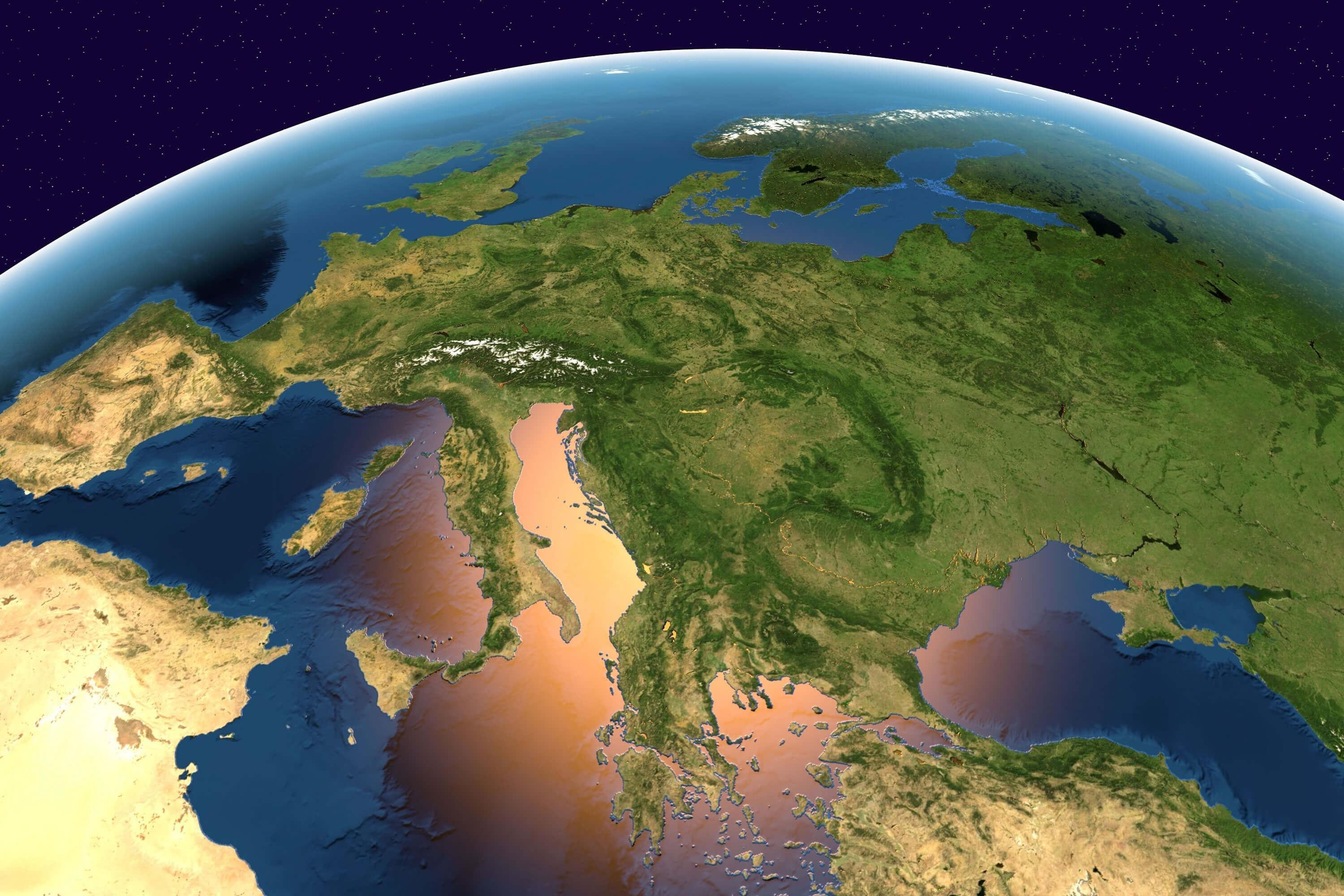 Physical Map of Europe, Satellite Image of Europe from Space.
Political Map of Europe
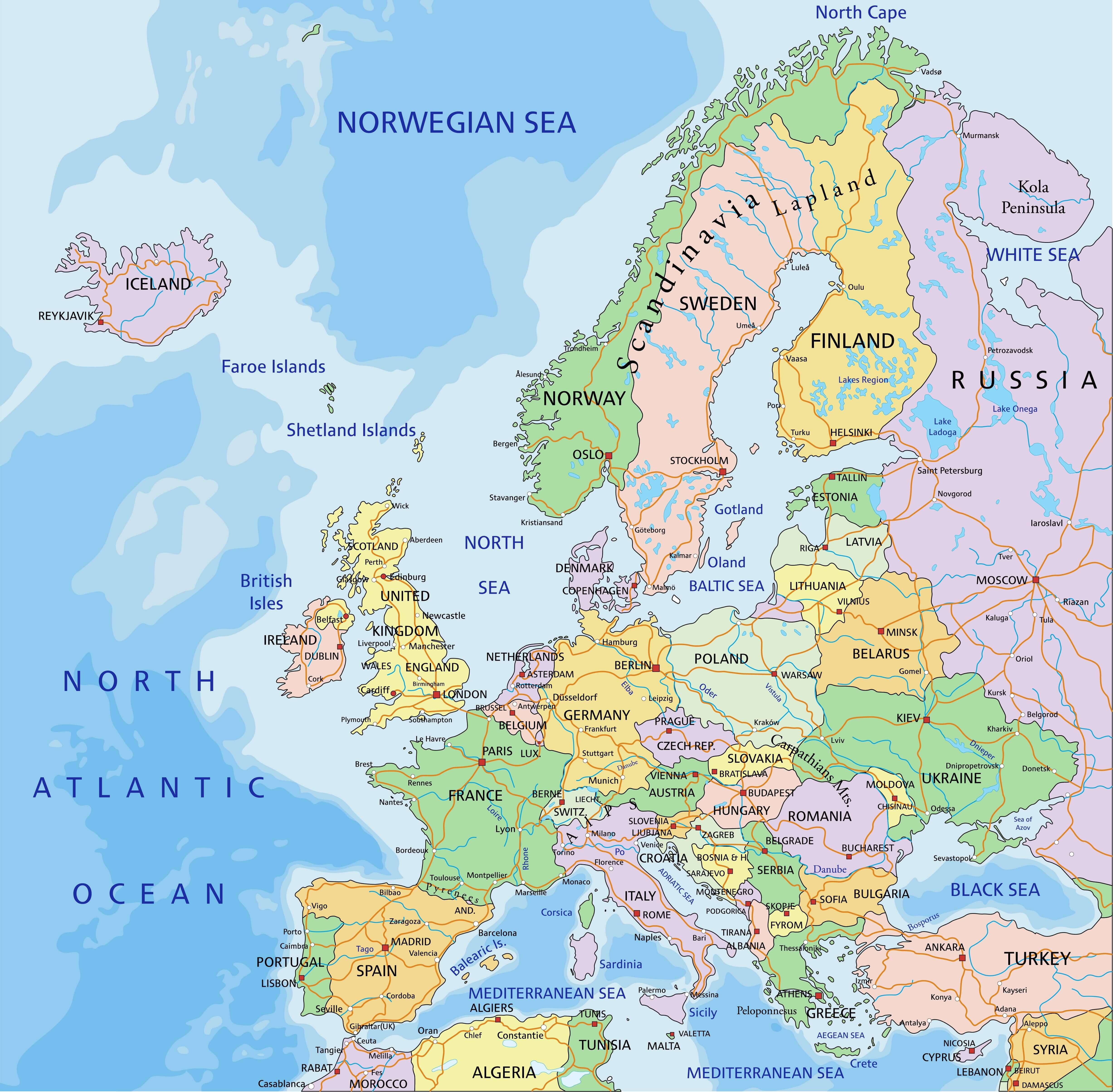
Western Europe Map
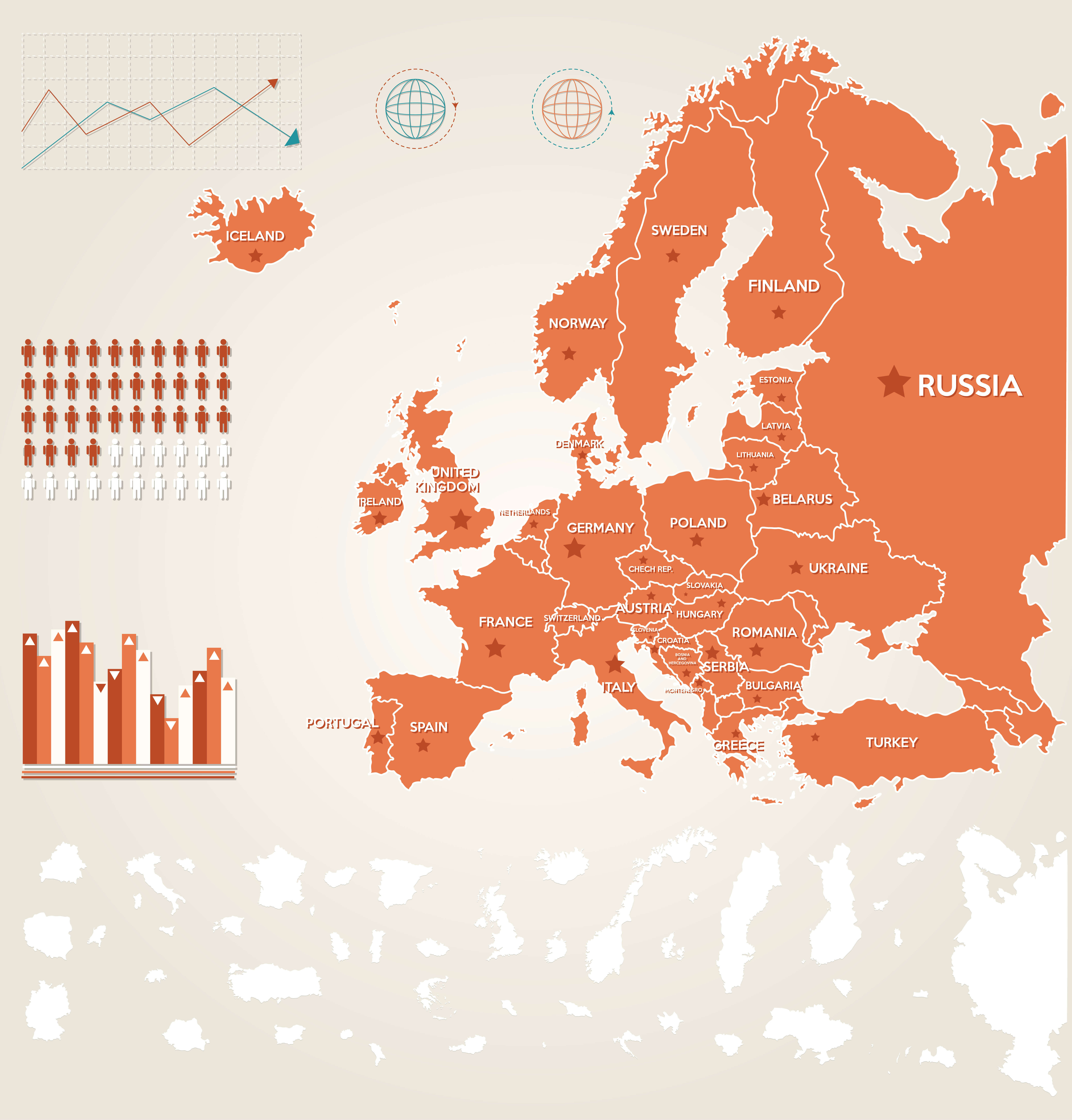
World Map Europe
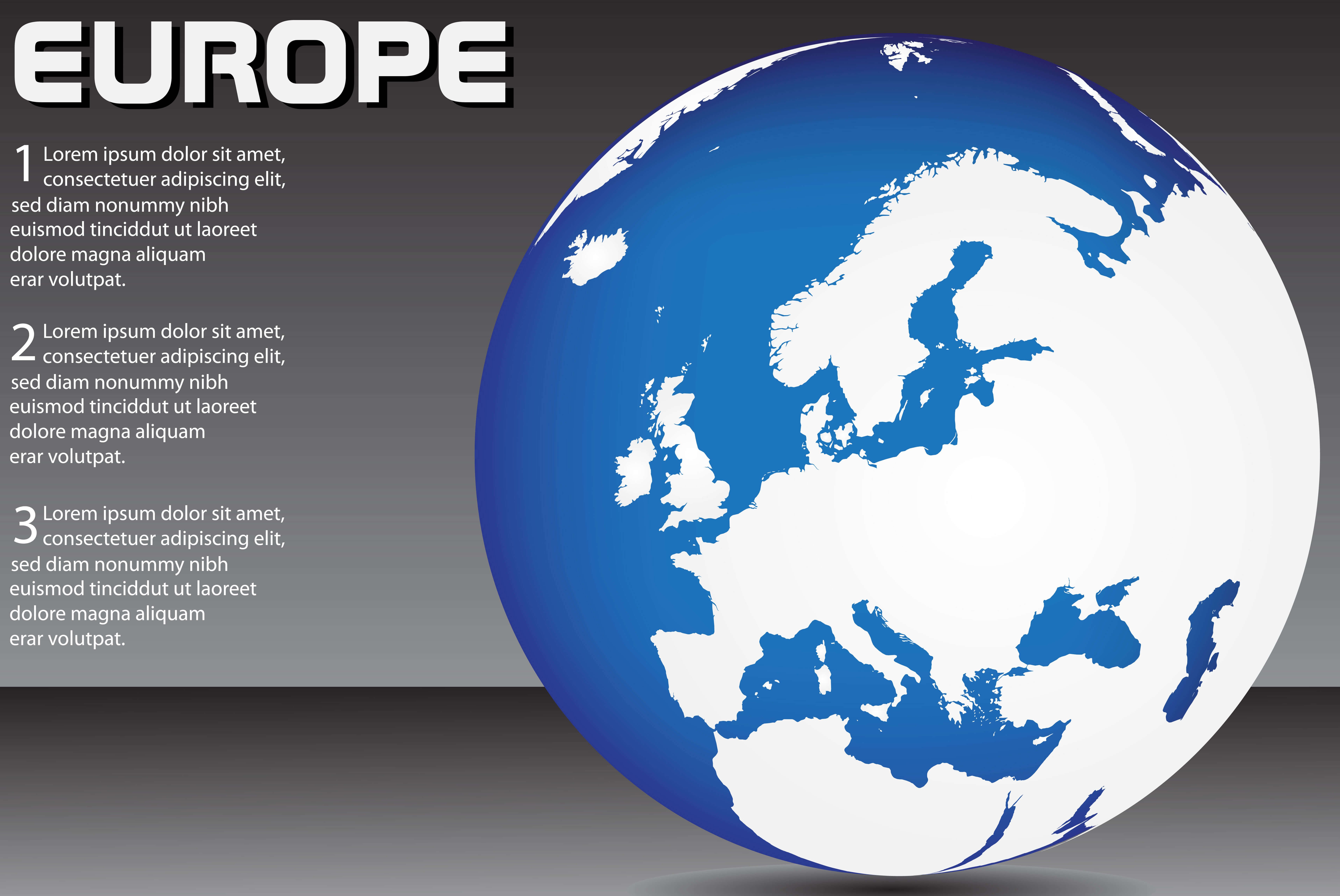 Blank World Map with Europe.
Europe international wall map with cities
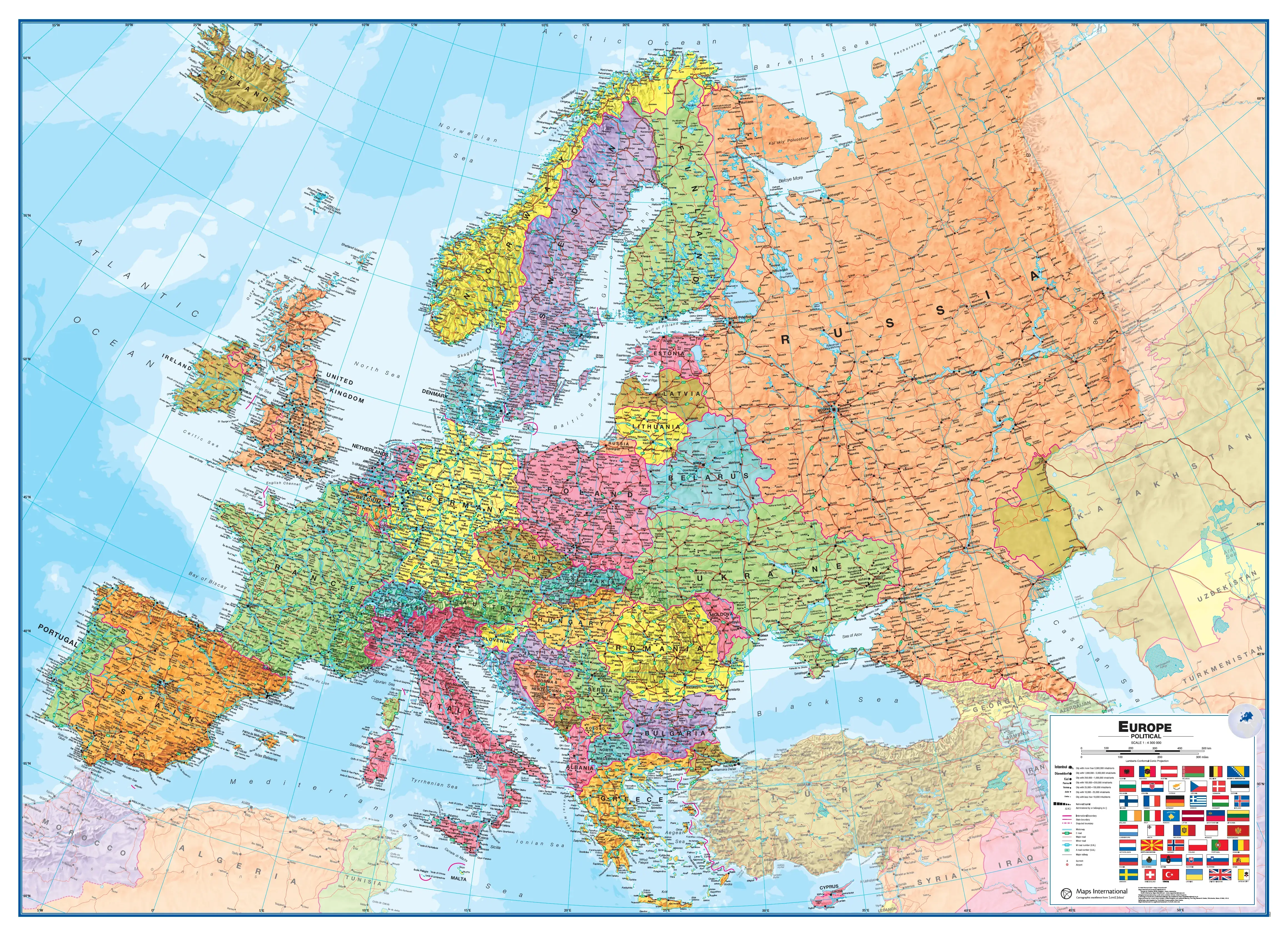
Europe topographic map with cities
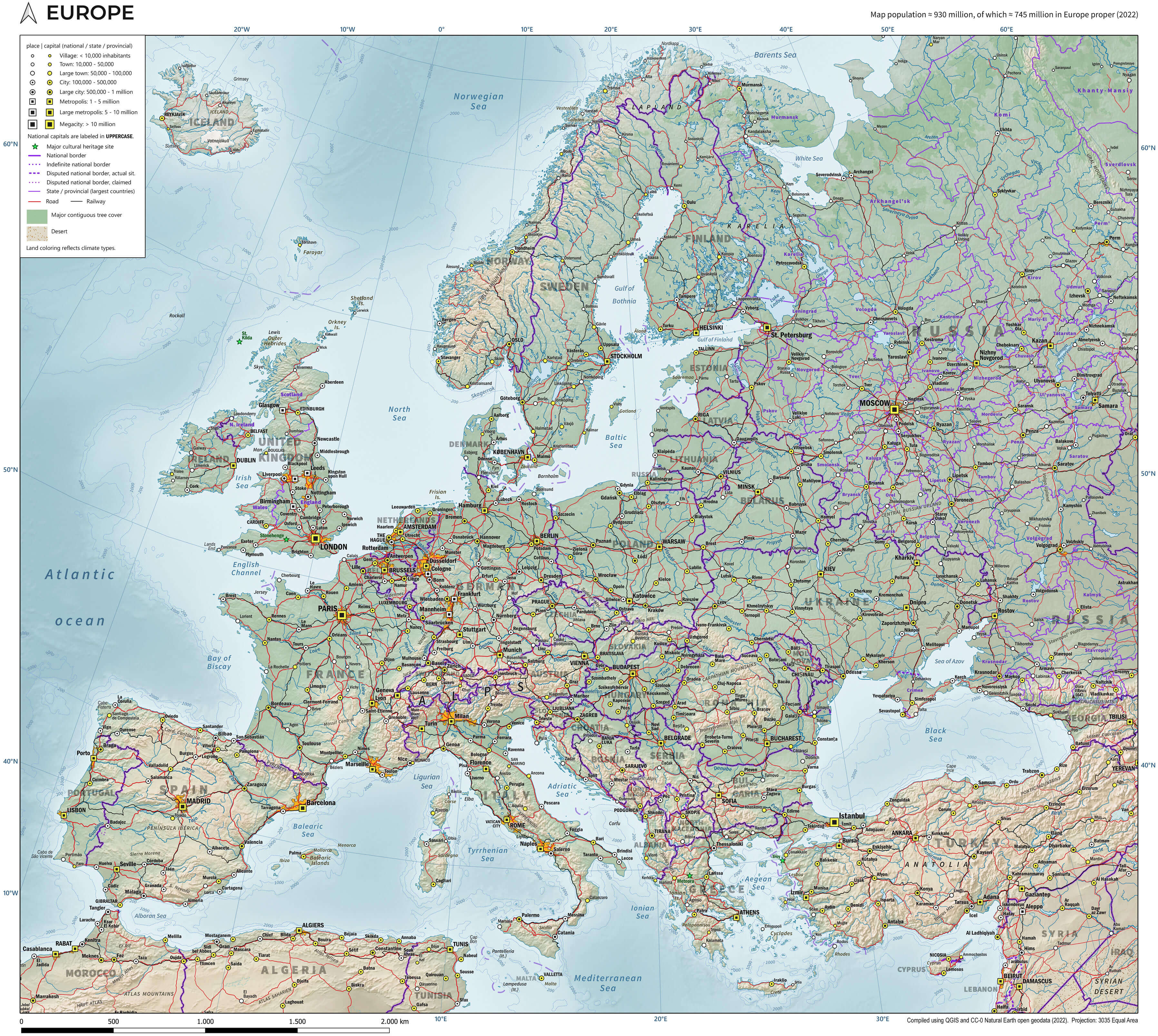
Political map of Europe with cities
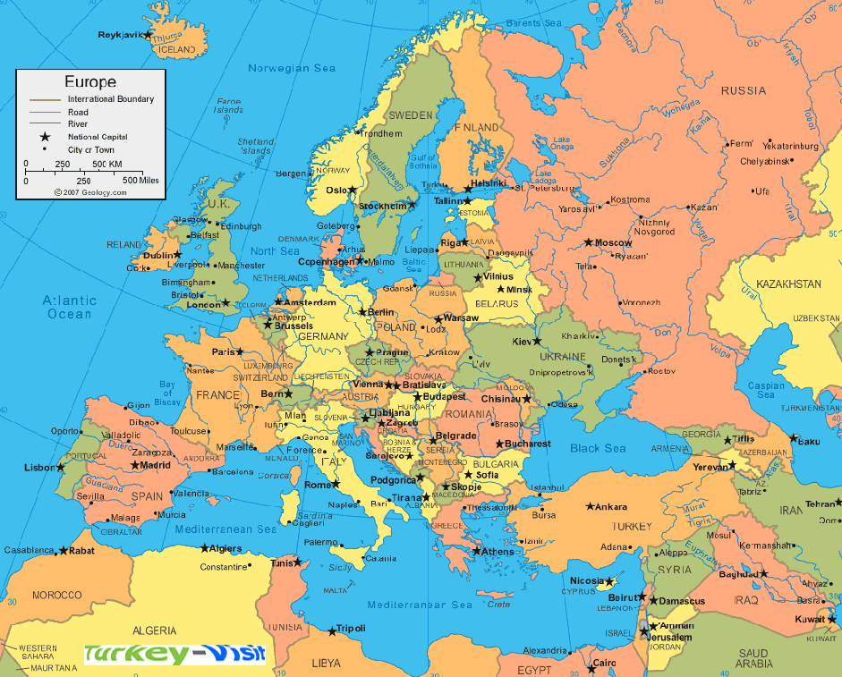
Europe political cities wall map
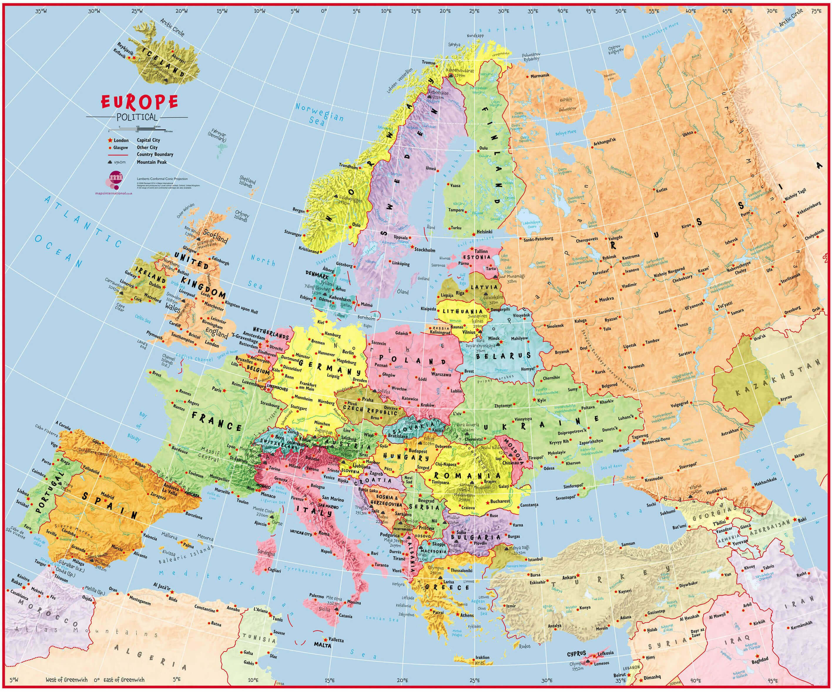
Where is Europe on the World Map?
Show Google Maps and satellite maps of where the country is located.
Get directions by driving, walking, bicycling, public transportation, and travel with street view.
Feel free to explore these pages as well:
- Europe Map ↗️
- A Collection of Europe Maps ↗️
- Europe Physical Map ↗️
- Europe Political Map ↗️
- Europe Countries Map ↗️
- Europe High-resolution Map ↗️
- Europe Cities Map ↗️
- Europe Population Map ↗️
- Europe Road Map ↗️
- Europe Religion Map ↗️
- Europe Satellite Map ↗️
- Europe Historical Map ↗️
- Europe Topography Map ↗️
- Europe Time Zone Map ↗️
- Muslim Population Map in Europe by Country ↗️
- France Map ↗️
- Map of Spain ↗️
- Italy Map ↗️
- Ireland Map ↗️
- Political Map of the World ↗️
- United Kingdom Map ↗️
- Israel Map ↗️
- Germany Map ↗️
- Turkey Map ↗️
- Map of Sweden ↗️
- Map of Portugal ↗️
- Poland Map ↗️
- Switzerland Map ↗️
- Belgium Map ↗️
- Norway Map ↗️
- Finland Map ↗️
