- Advertisement -
Explore a high-quality topographic map of Europe including Russia, with detailed elevation, mountain ranges, shaded relief, and geographic features. Free and large-scale topography maps available for download or online viewing.
Topographic Map of Europe with Mountain Ranges and Elevation Shading
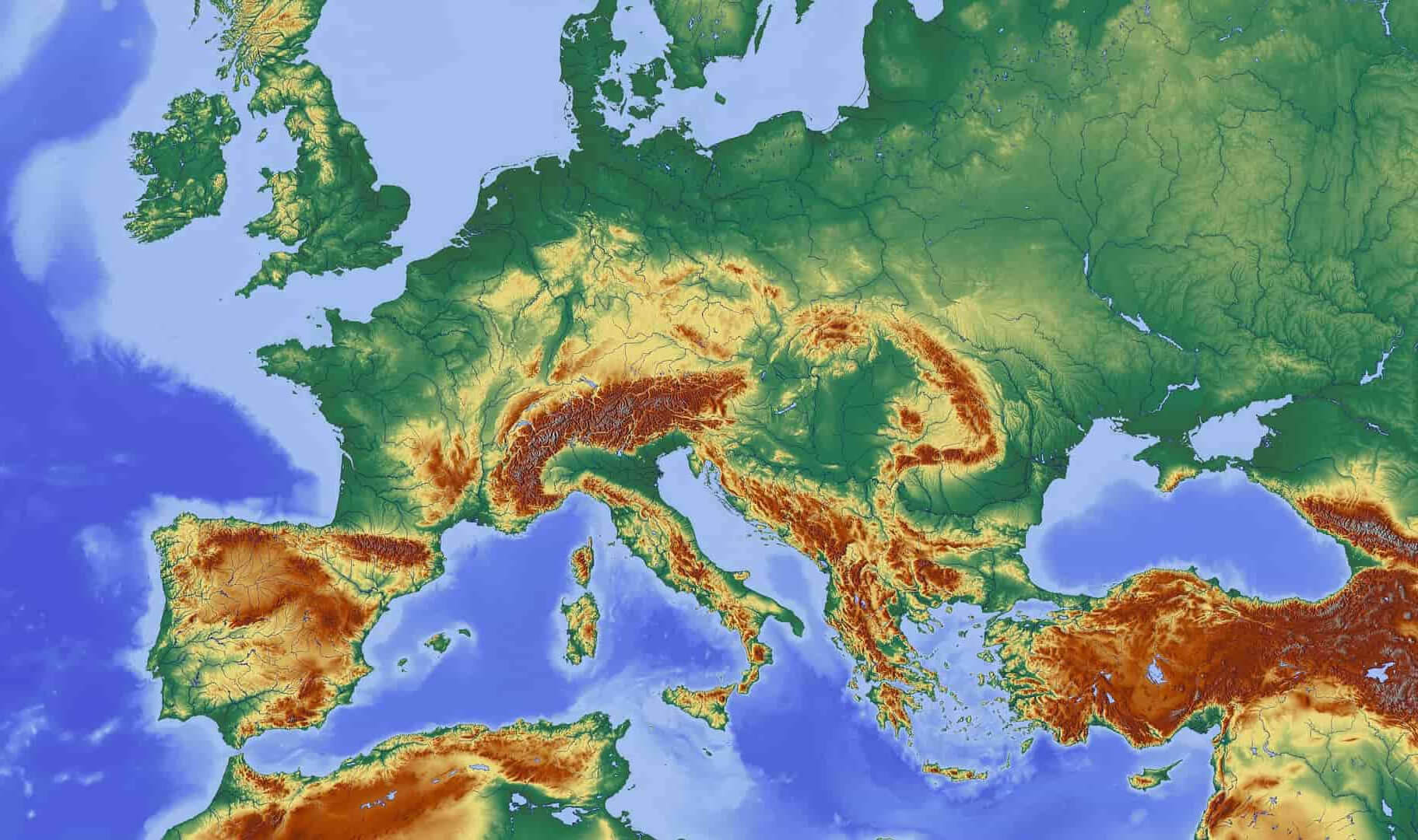 Topographic map of Europe with mountains and shaded elevation relief.
Shaded Relief Topographic Map of Europe and Surrounding Regions
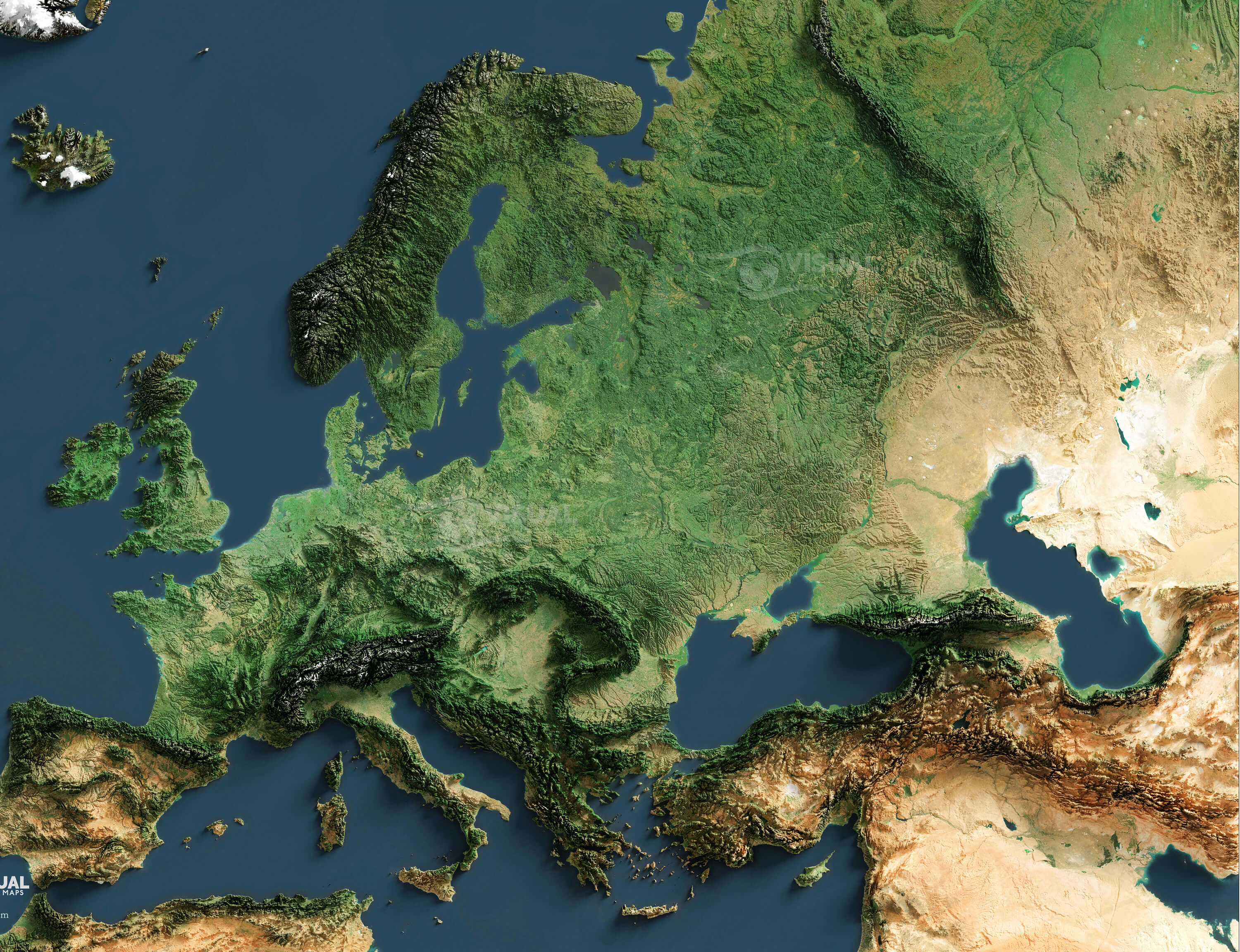 Shaded relief topographic map of Europe with elevation and terrain details
Europe and Russia topography map
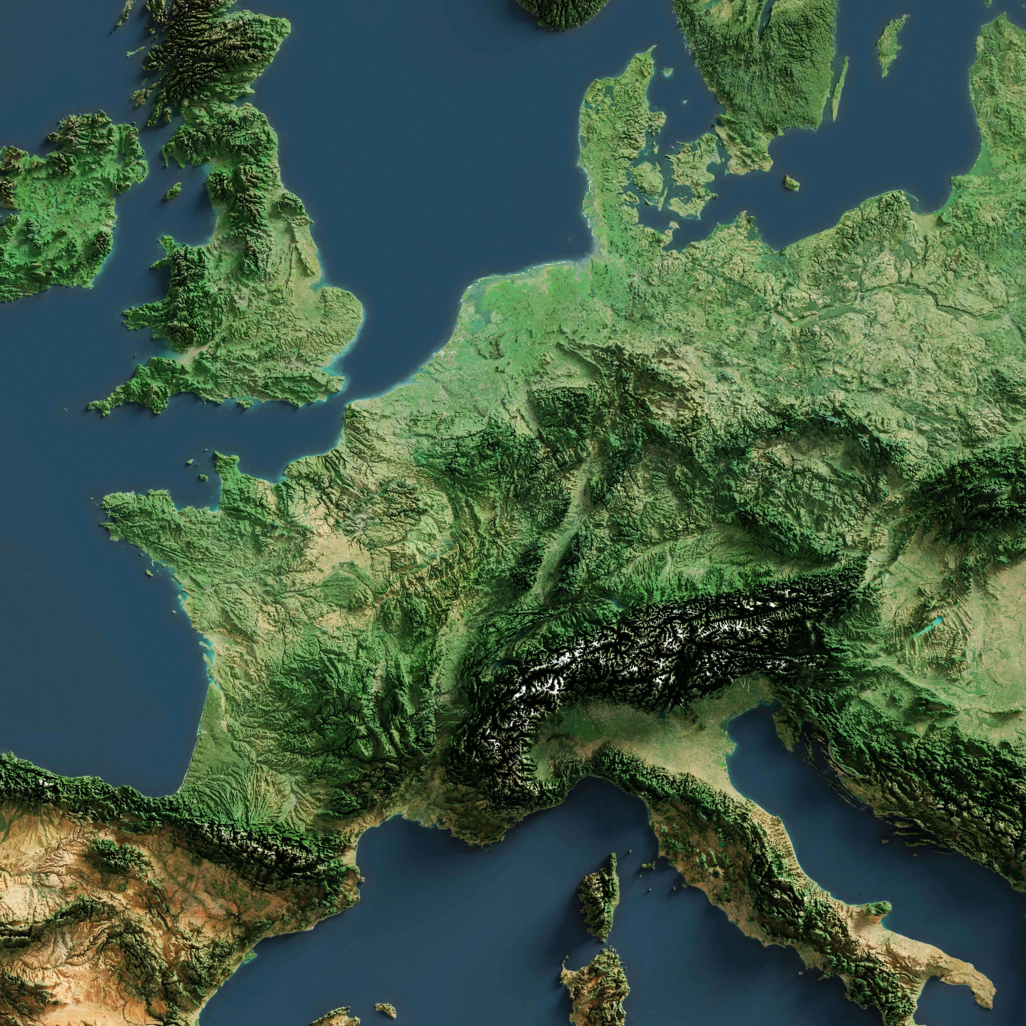
Europe free topography map
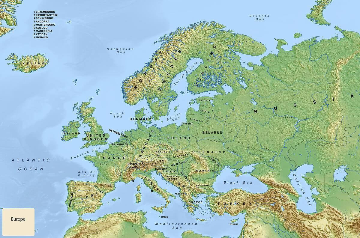
Europe large topographic location map
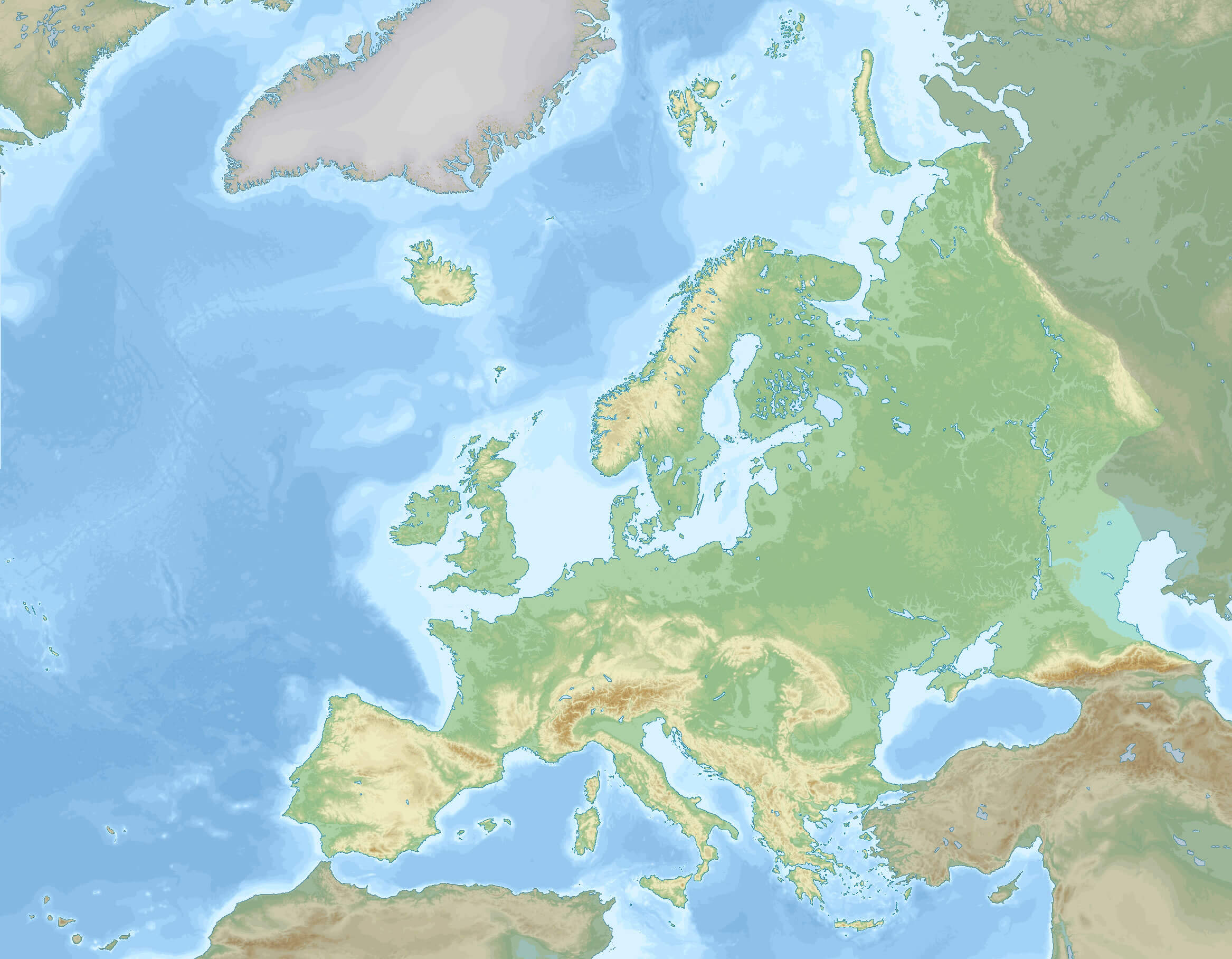
Europe topographic map
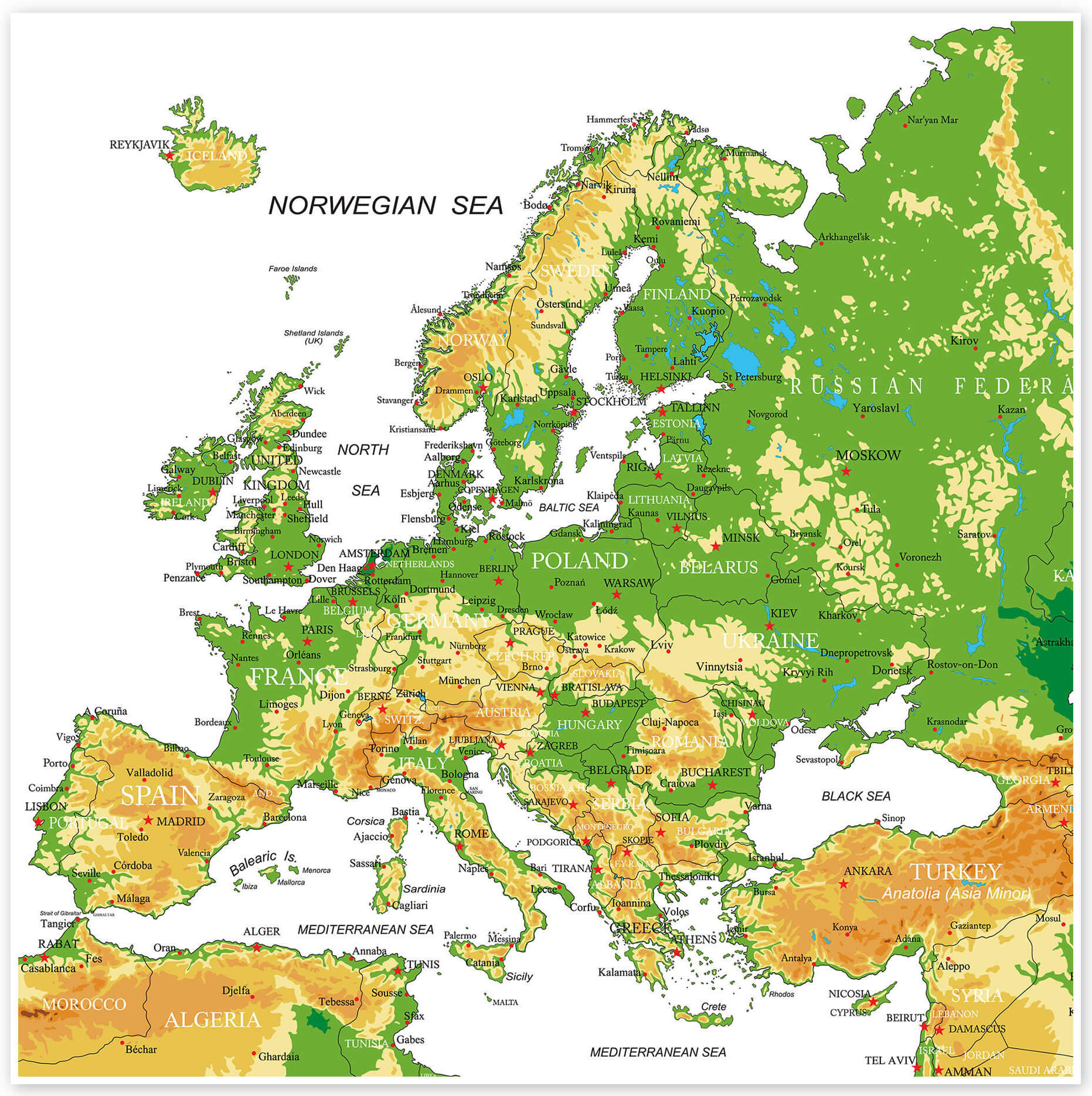
Europe topography map with mountains
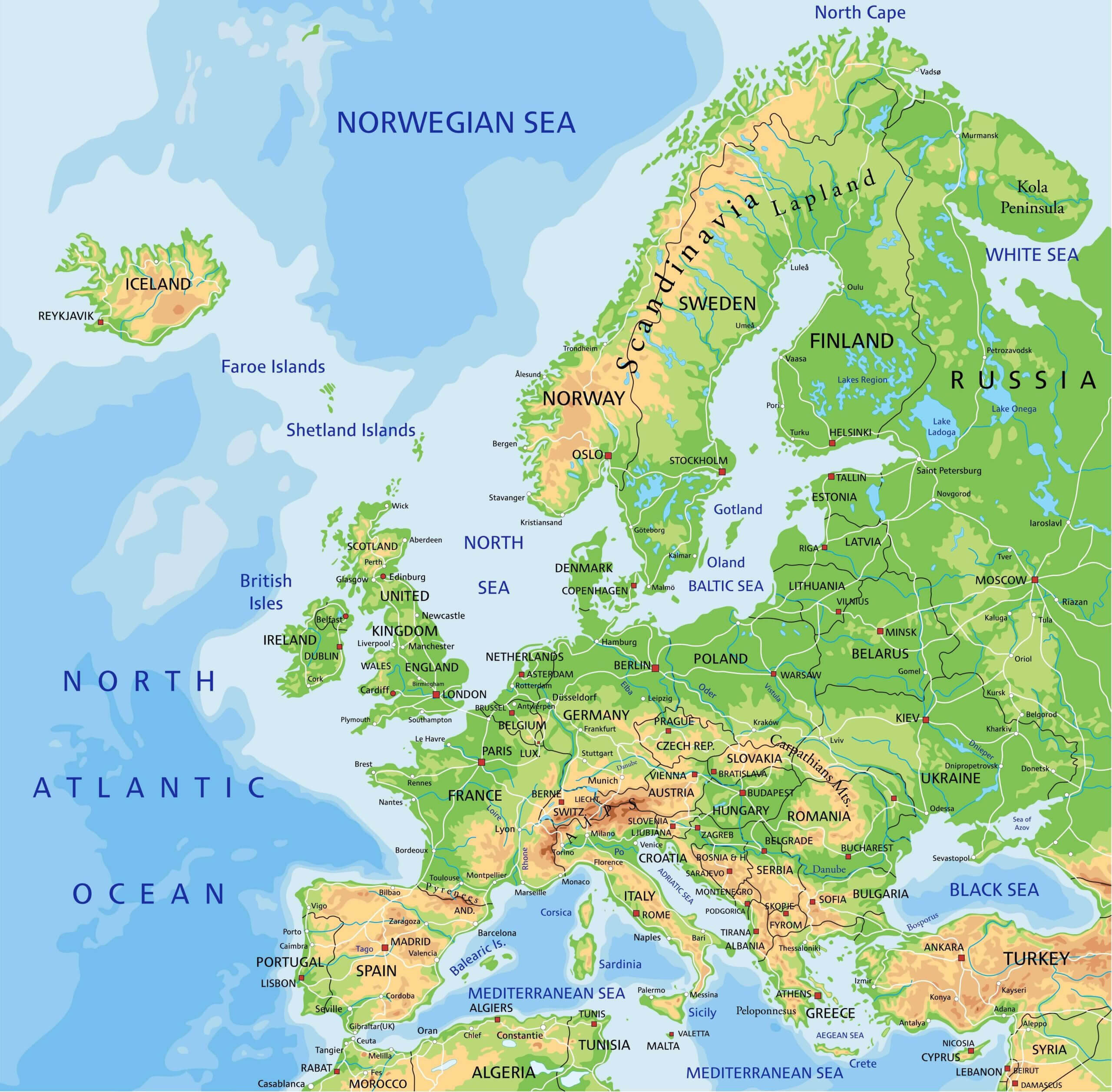
Europe topography map
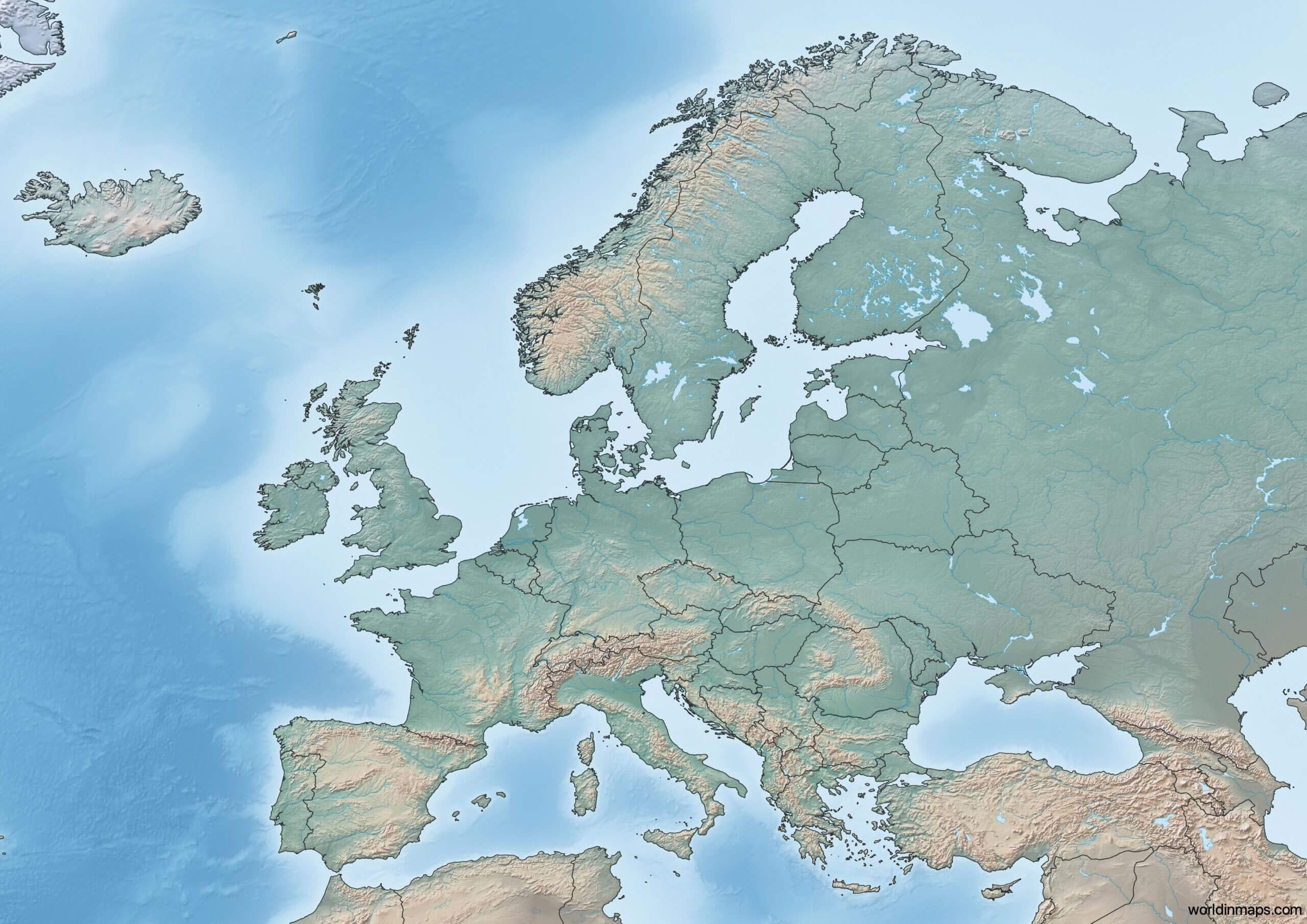
Large detailed topographical map of Europe
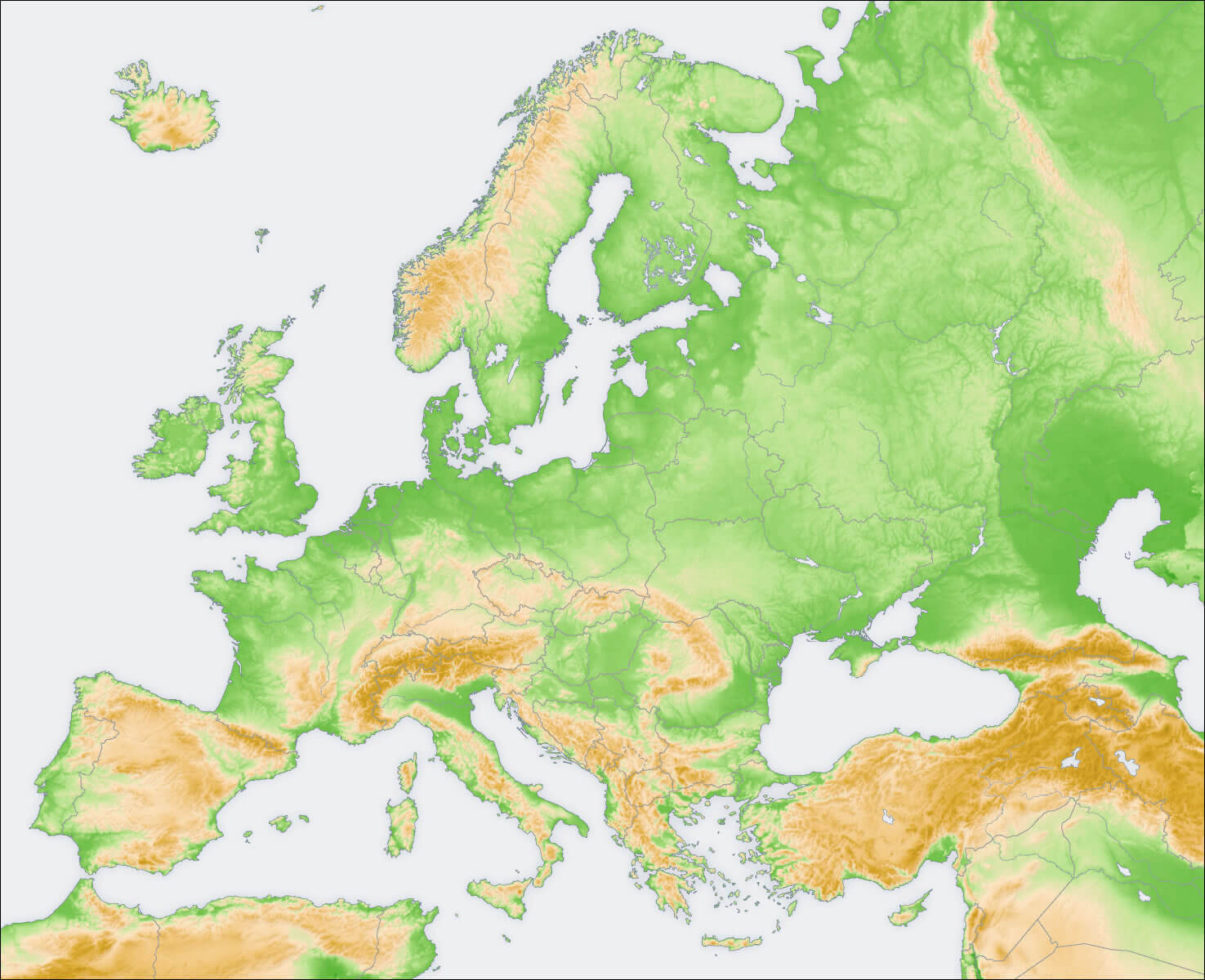
Topographic map of Europe with Russia
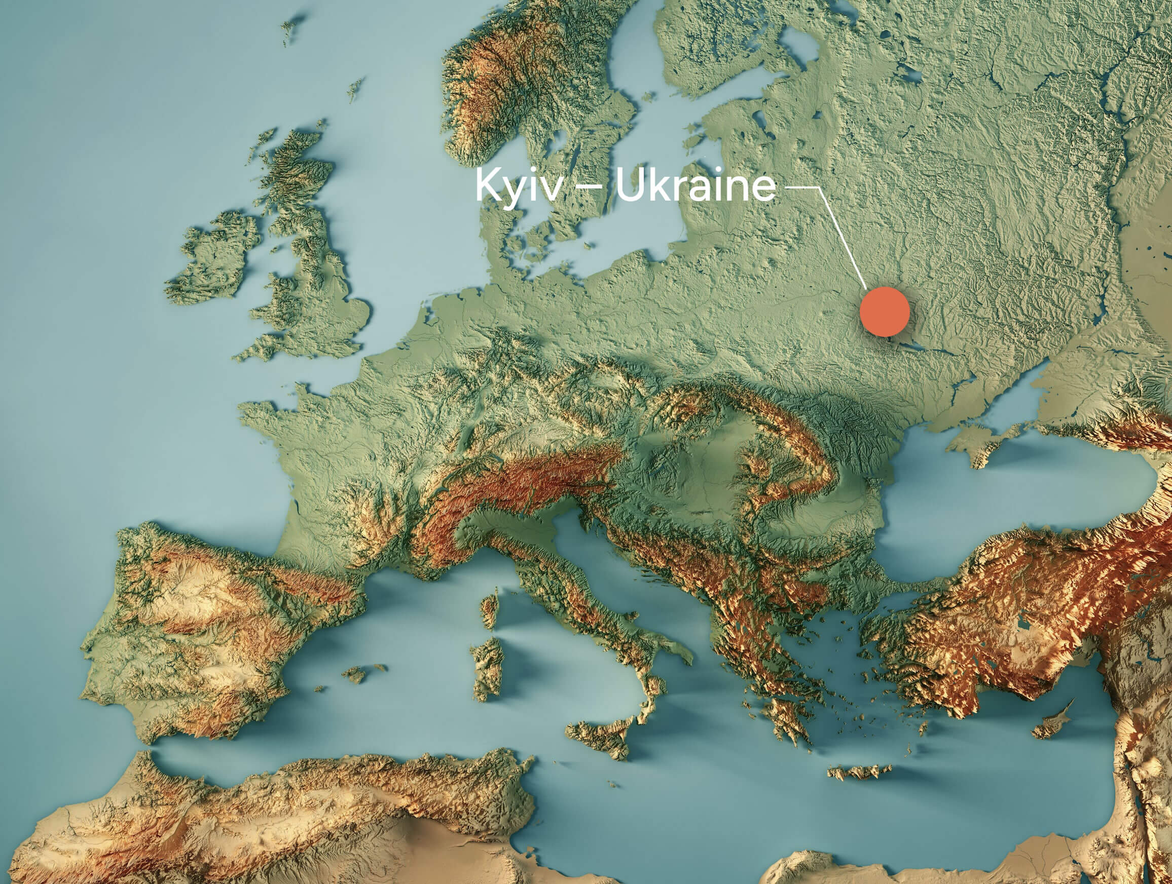
Topographic map of Europe
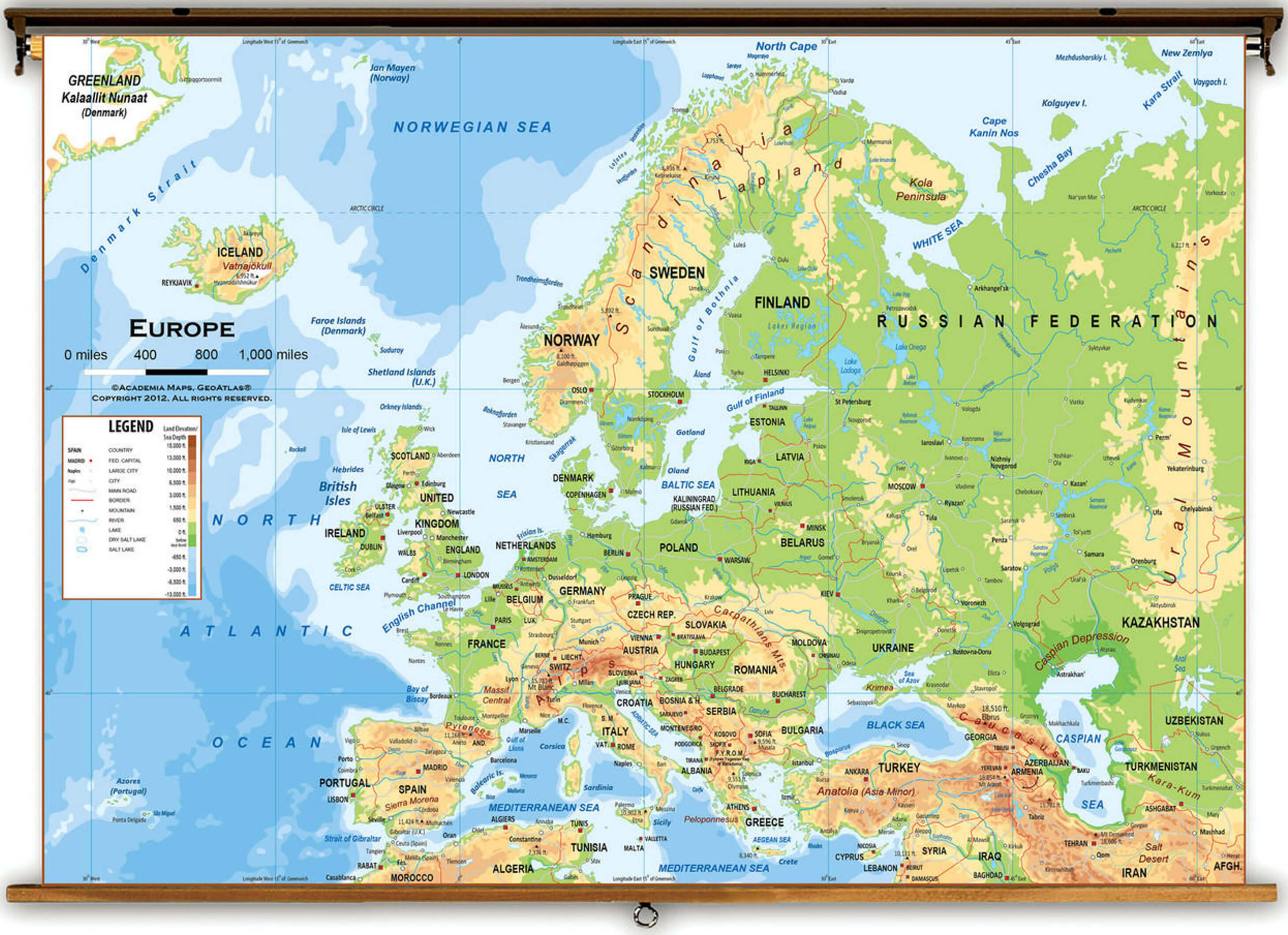
Topography map of Europe
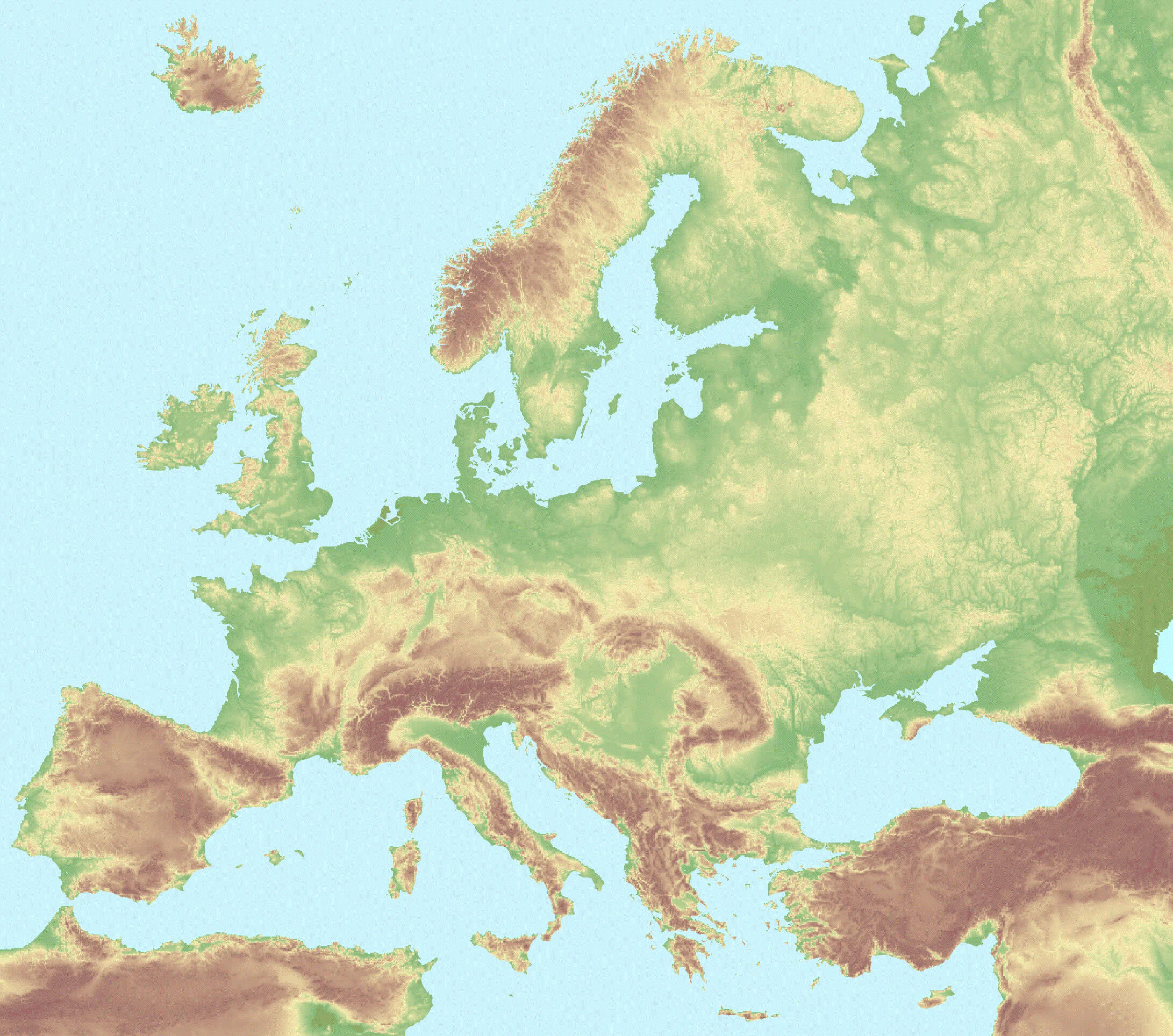
Where is Europe on the World Map?
Show Google Interactive Maps and satellite maps of where the country is located.
Get directions by driving, walking, bicycling, public transportation and travel with street view.
Feel free to explore these pages as well:
- Europe Map ↗️
- Map of Europe ↗️
- Europe Countries Map ↗️
- Europe High-resolution Map ↗️
- Europe Cities Map ↗️
- A Collection of Europe Maps ↗️
- Europe Physical Map ↗️
- Europe Political Map ↗️
- Europe Population Map ↗️
- Europe Road Map ↗️
- Europe Religion Map ↗️
- Europe Satellite Map ↗️
- Europe Historical Map ↗️
- Europe Time Zone Map ↗️
- Muslim Population Map in Europe by Country ↗️
- France Map ↗️
- Map of Spain ↗️
- Italy Map ↗️
- United Kingdom Map ↗️
- Germany Map ↗️
- Switzerland Map ↗️
- Advertisement -
