A collection of Turkey Maps; View a variety of Turkey physical, political, administrative, relief map, Turkey satellite image, higly detalied maps, blank map, Turkey world and earth map, Turkey’s regions, topography, cities, road, direction maps and atlas.
A Collection of Turkey Maps
Turkey Color Map
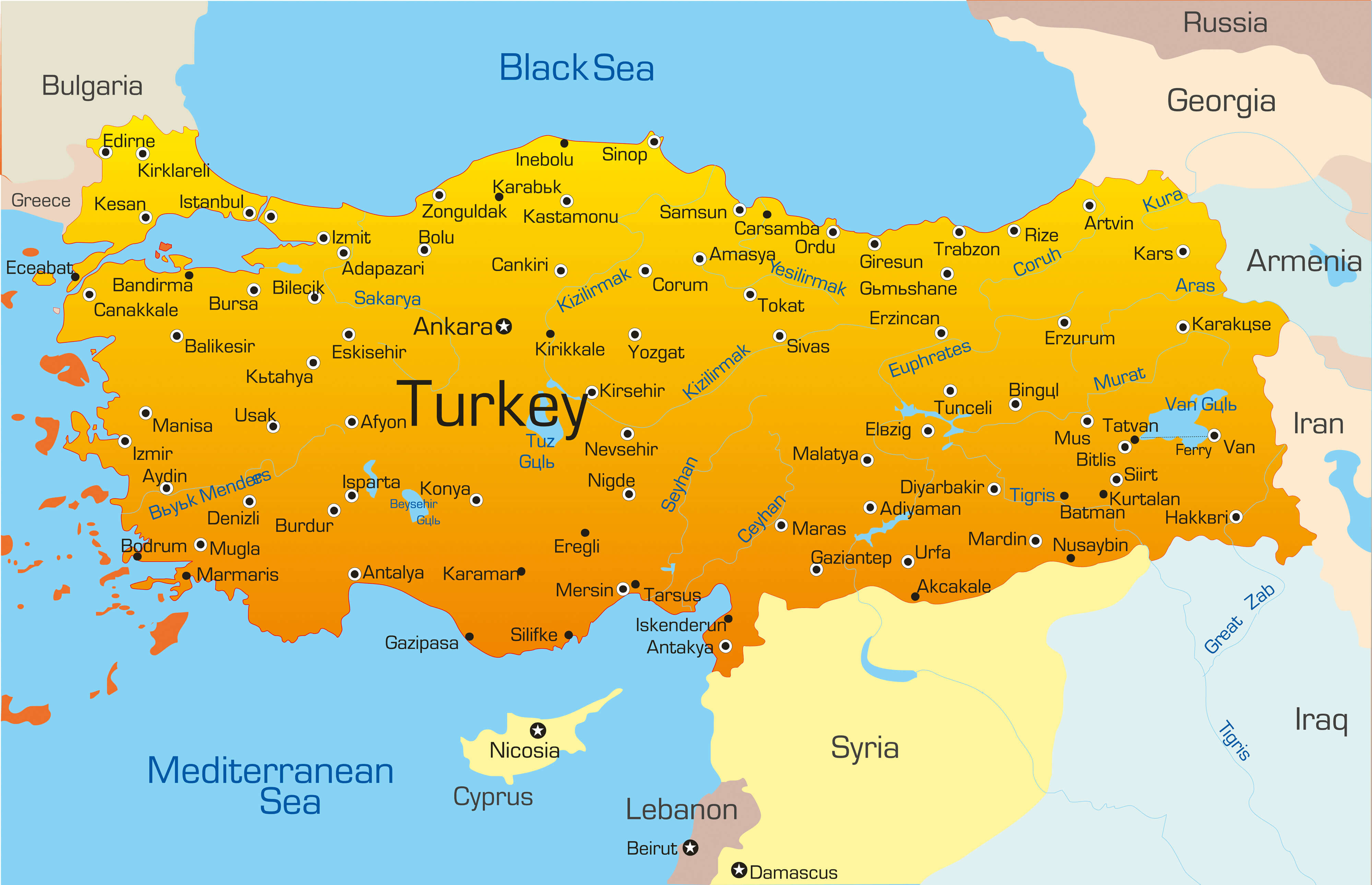 Vector map of Turkey country
Turkey Satellite Map
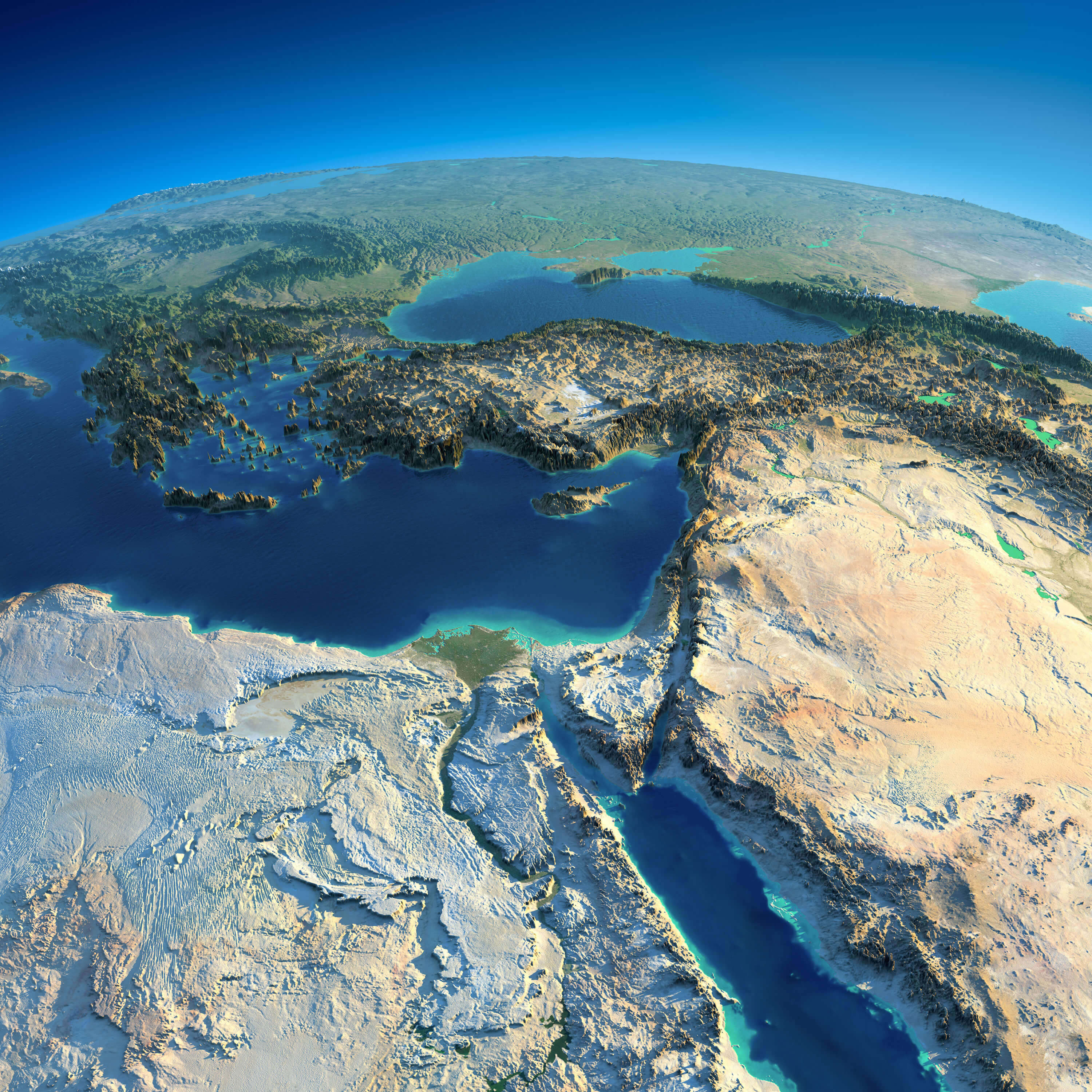
Highly detailed planet Earth and Turkey, Africa and Middle East in the morning. Exaggerated precise relief lit morning sun.
Turkey Administrative Map
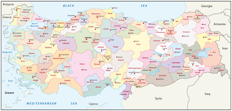
Turkey administrative map with ciites’ borders.
Turkey and Middle East Countries Satellite Image
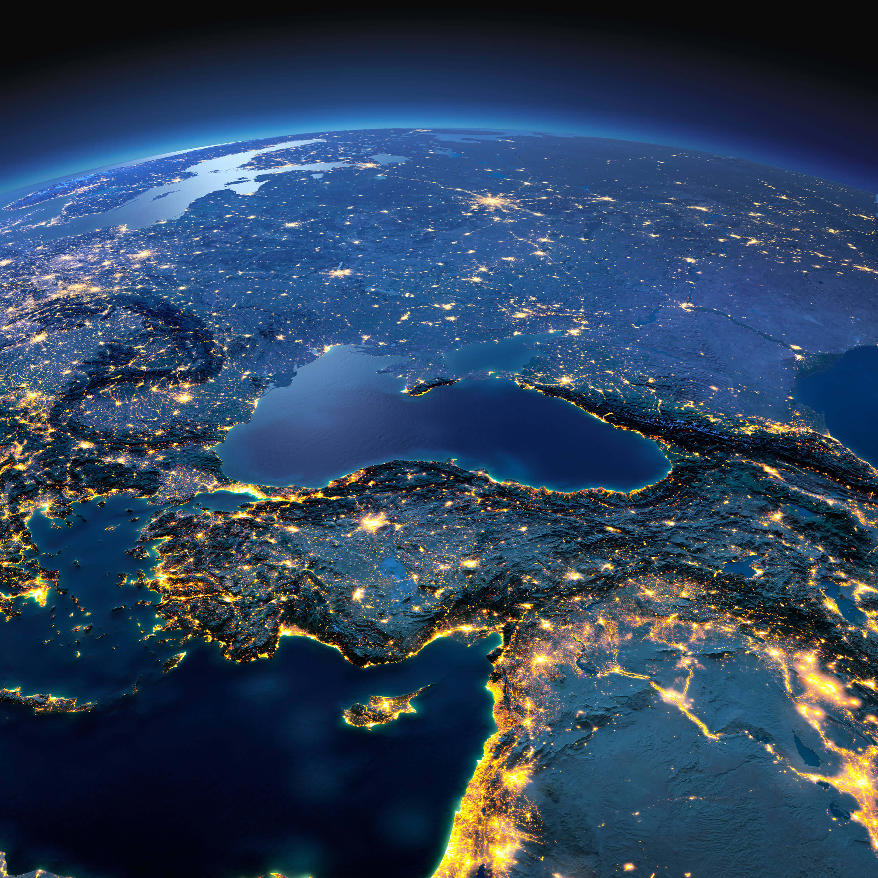
Turkey and Middle East countries and night planet Earth with precise detailed relief and city lights illuminated by moonlight.
Photograph of map Syria Jordan and Turkey
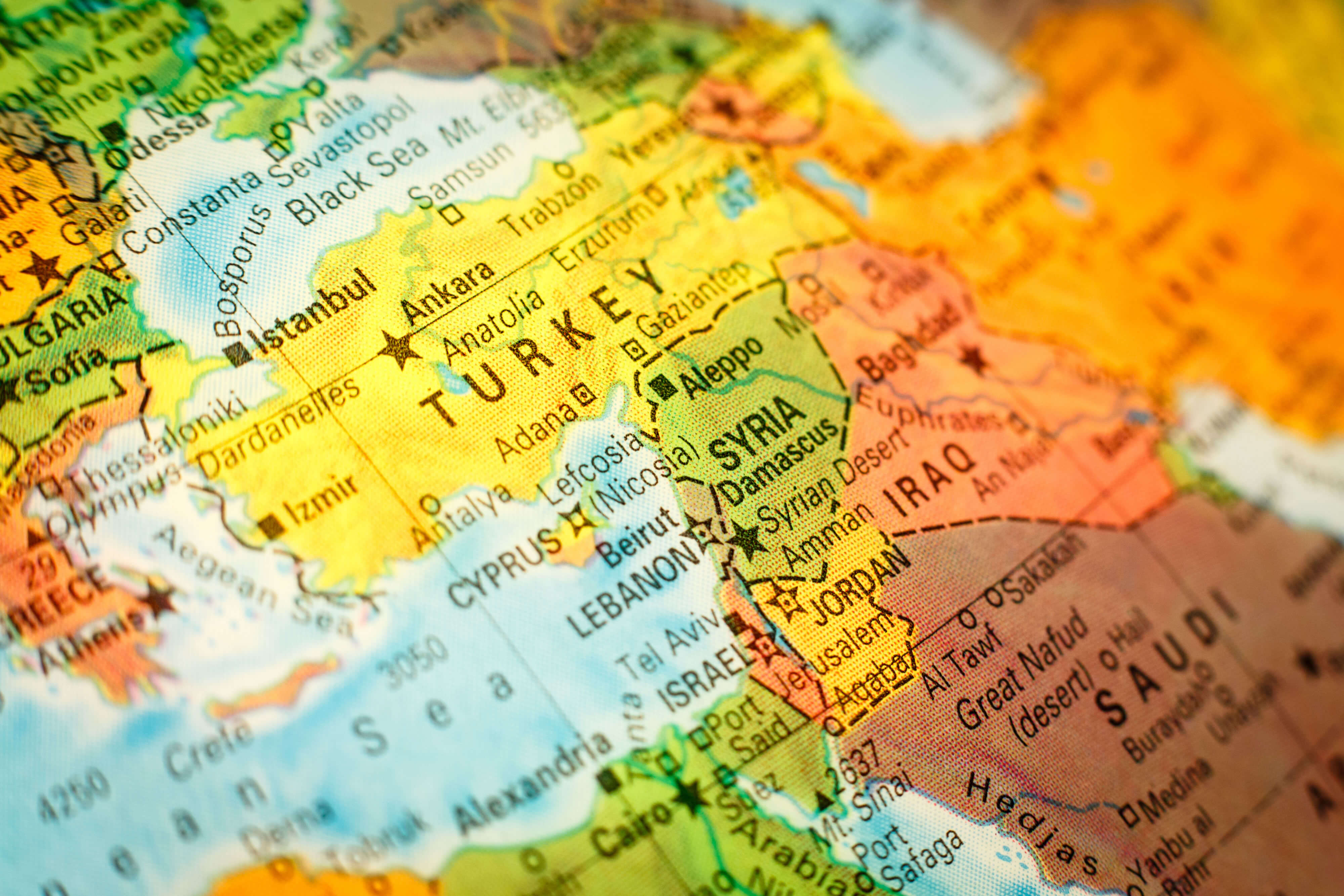
Close-up macro photograph of map Syria Jordan and Turkey. Selective focus on Syria.
Turkey Map with Flag Buttons
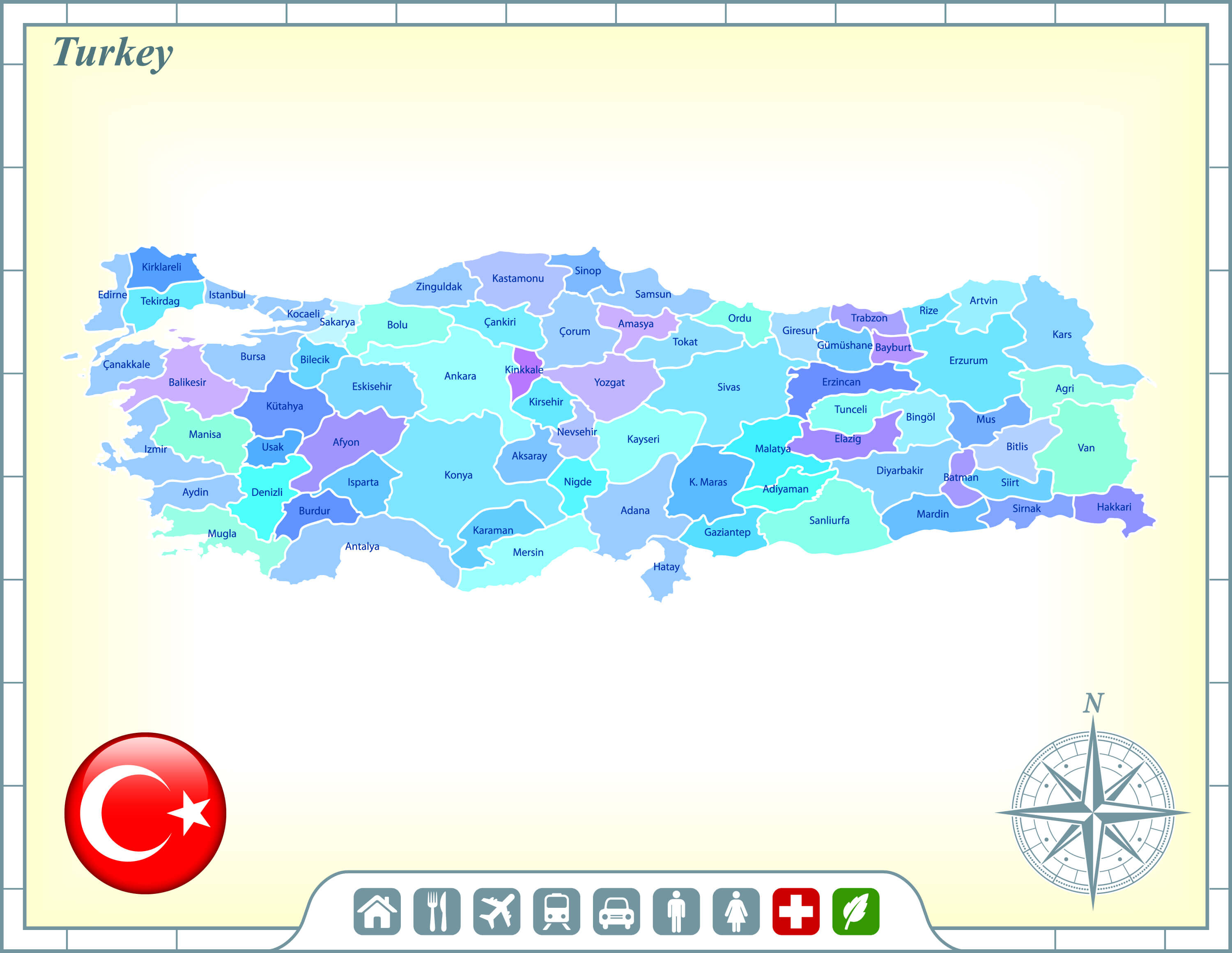
Turkey Map with Flag Buttons and Assistance & Activates Icons Original Illustration.
Turkey Road Map
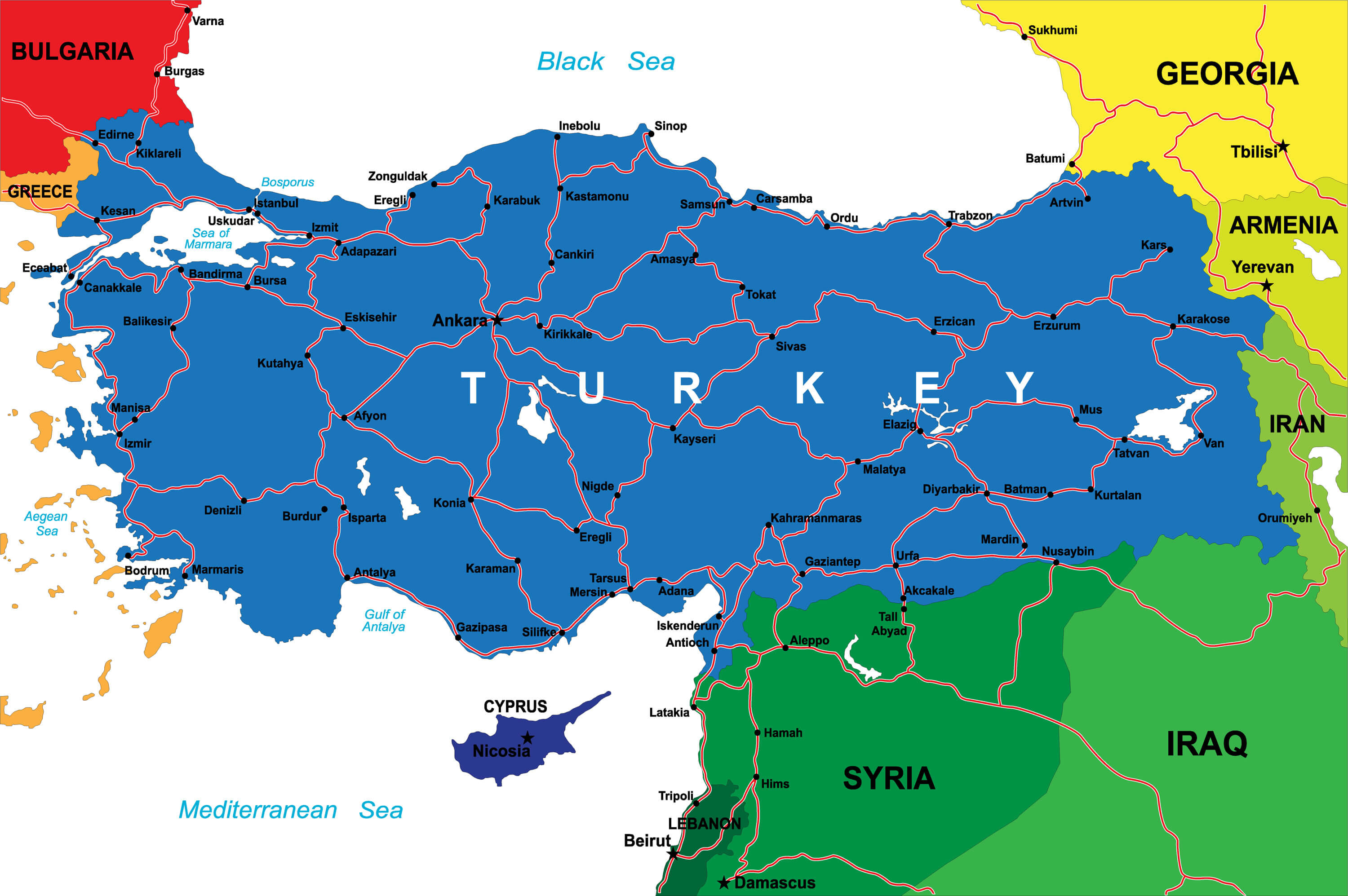
Turkey Road Map with National Borders.
Where is Turkey on the World Map, Europe Map and Asia Map?
Show Google map, satellite map, where is the country located.
Get directions by driving, walking, bicycling, public transportation and travel with street view.
Feel free to explore these pages as well:
- Türkiye Map ↗️
- Map of Turkey ↗️
- Top 15 Places to See in Istanbul, Turkey – Ancient City Constantinople ↗️
- Antalya: Turkey’s Jewel of the Mediterranean ↗️
- 10 Best Attractions in Mugla: From the Knidos Ancient City to Marmaris ↗️
- Discovering Belek & Side: Two Jewels of Turkey’s Mediterranean Coast ↗️
- Discovering Ankara: The Heart of Anatolia ↗️
- Where the 2023 Earthquake Happened in Turkey ↗️
- Discovering the Serene Blue Lagoon in Ölüdeniz, Turkey ↗️
- Top 15 Places to See in Istanbul, Turkey – Ancient City Constantinople ↗️
- Great Migration From Istanbul Ataturk Airport to Istanbul Airport ↗️
- Iraq Map ↗️
- Russia Map ↗️
- Iran Map ↗️
- Egypt Map ↗️
- Georgia Map ↗️
- Europe Top 10 Tourist Arrivals Countries by 2017 ↗️
- Azerbaijan Map ↗️
- Kazakhstan Map ↗️
- Europe Map ↗️
- Map of Europe ↗️
- Asia Map ↗️
- Map of Asia ↗️
