- Advertisement -
Explore satellite and relief maps of Europe, Africa, and the Mediterranean, including night views and high-resolution imagery of countries such as Spain, Italy, France, Sweden, and Finland. Discover satellite maps from space, shaded relief maps, and more.
Europe and North Africa from Space: High-Resolution Satellite Map
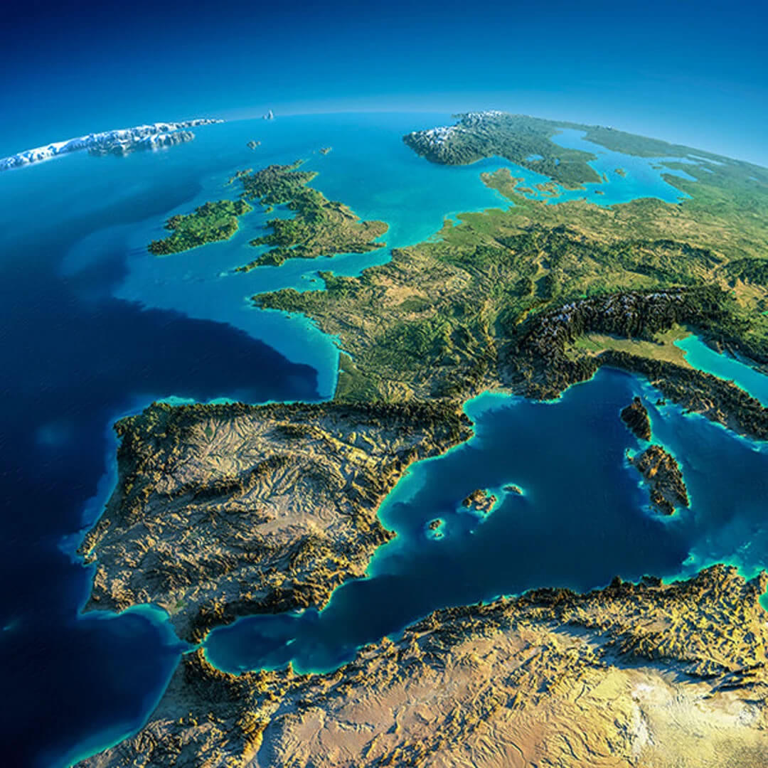
Stunning Satellite View of Italy, Greece, and the Mediterranean Sea
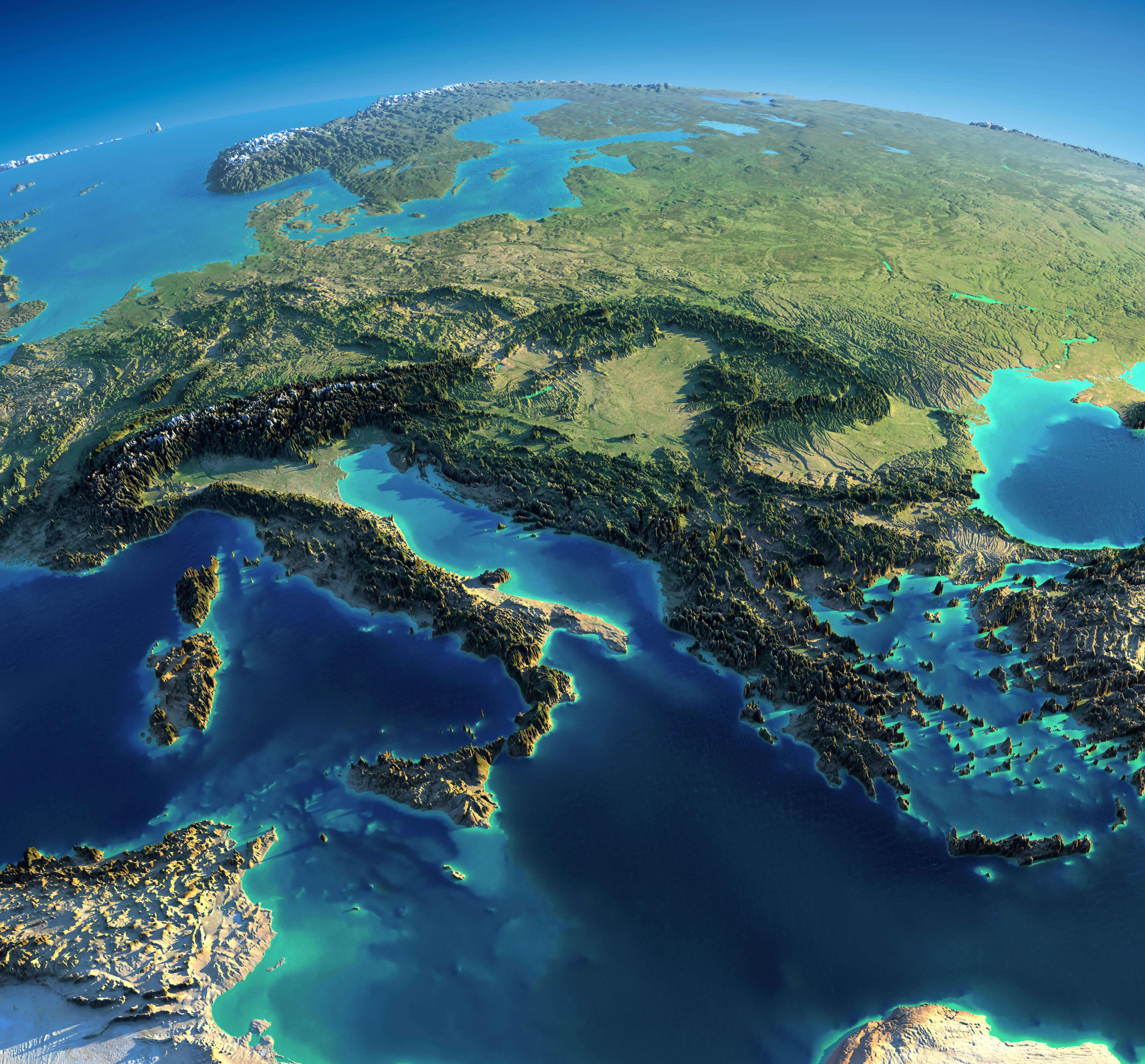 Satellite map of Italy, Greece, and the Mediterranean Sea from space.
Europe and Africa satellite map
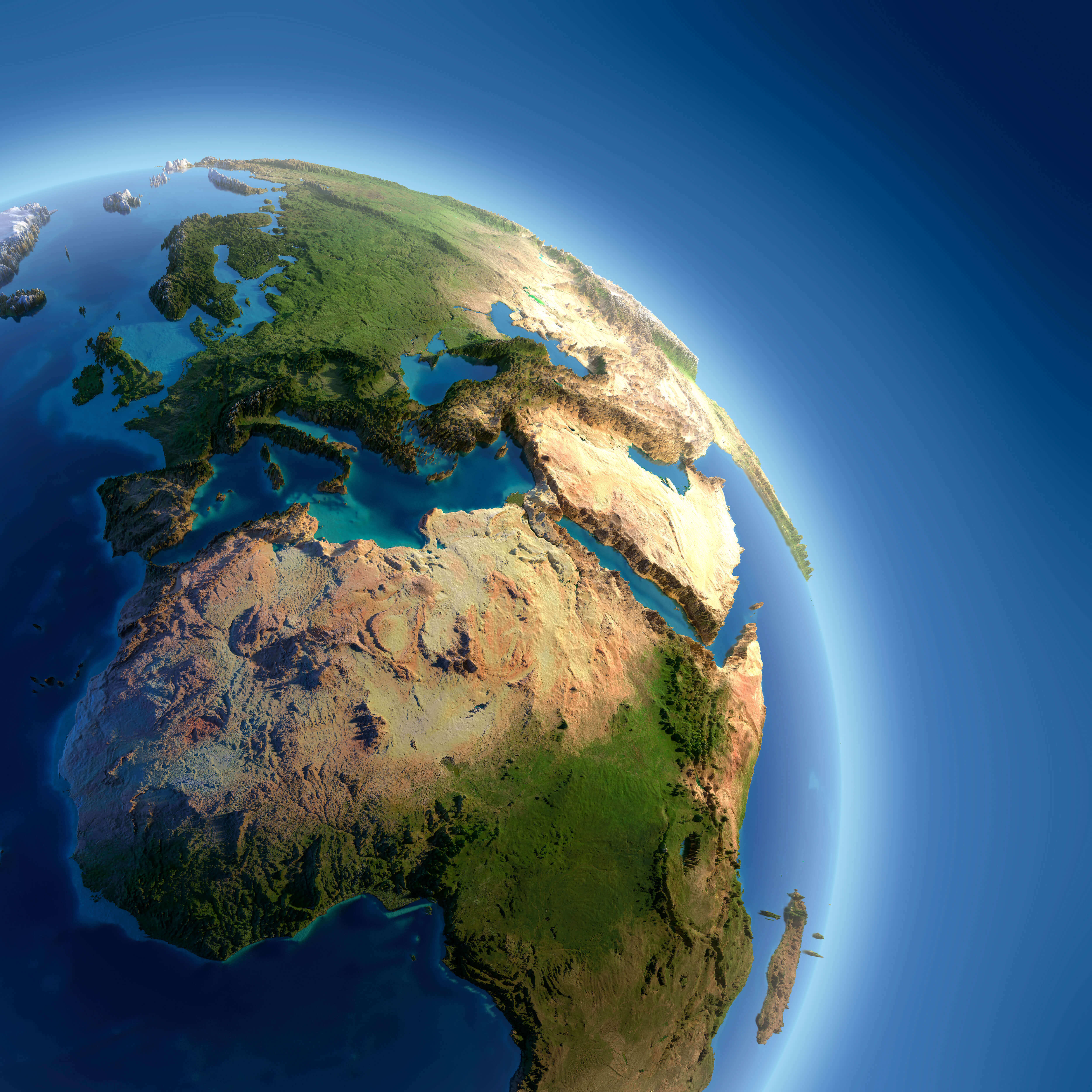
Europe and Spain satellite view map
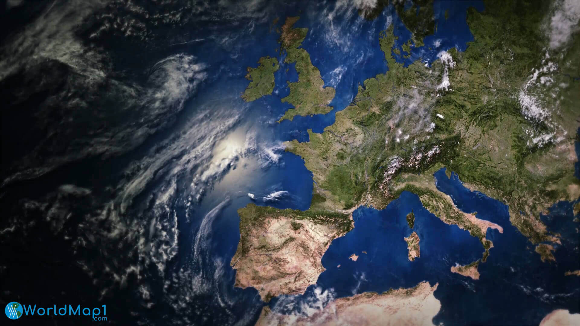
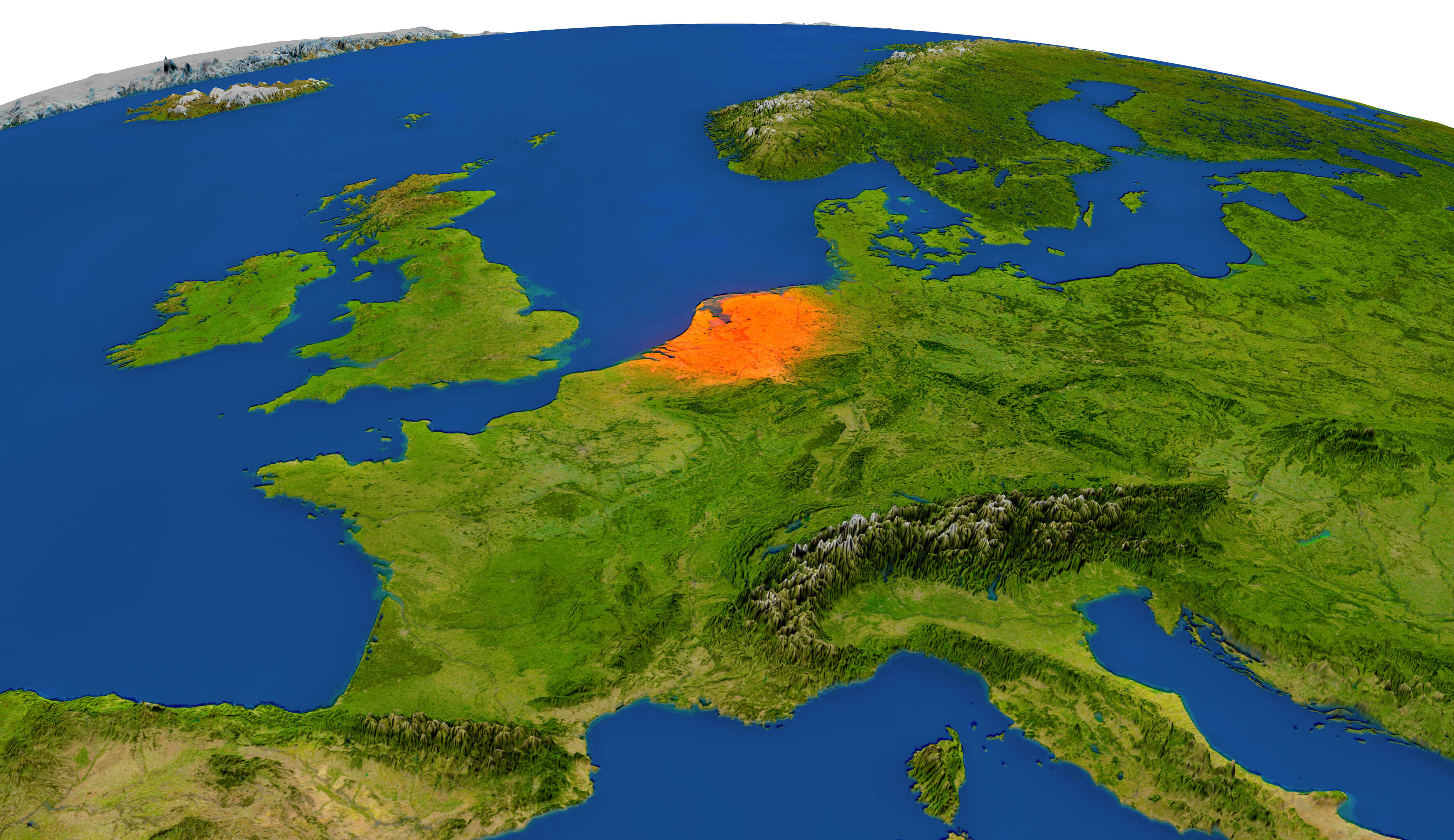
Europe Belgium Netherlands satellite map
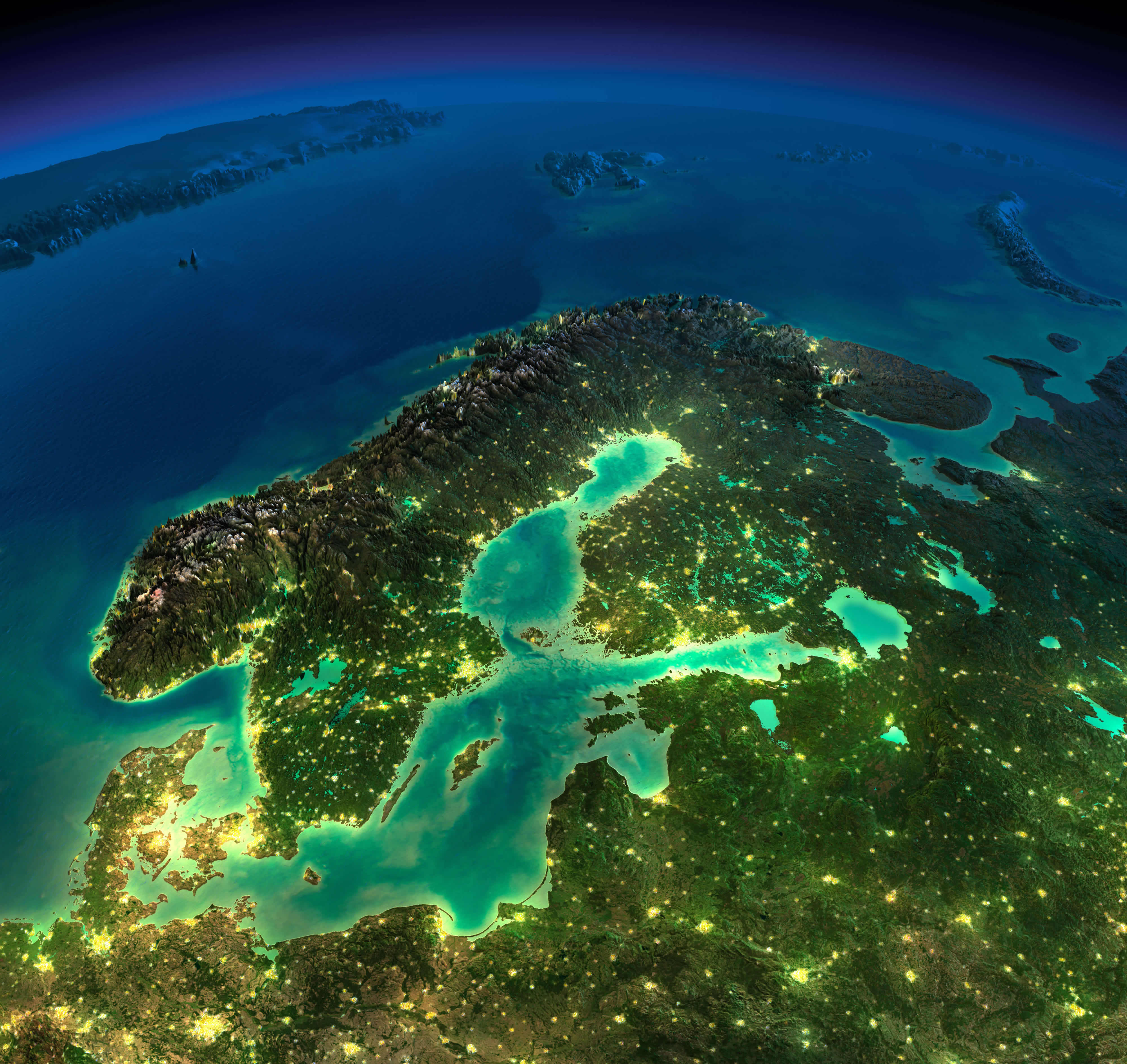
Europe denmark norway sweden Finland satellite map in the night
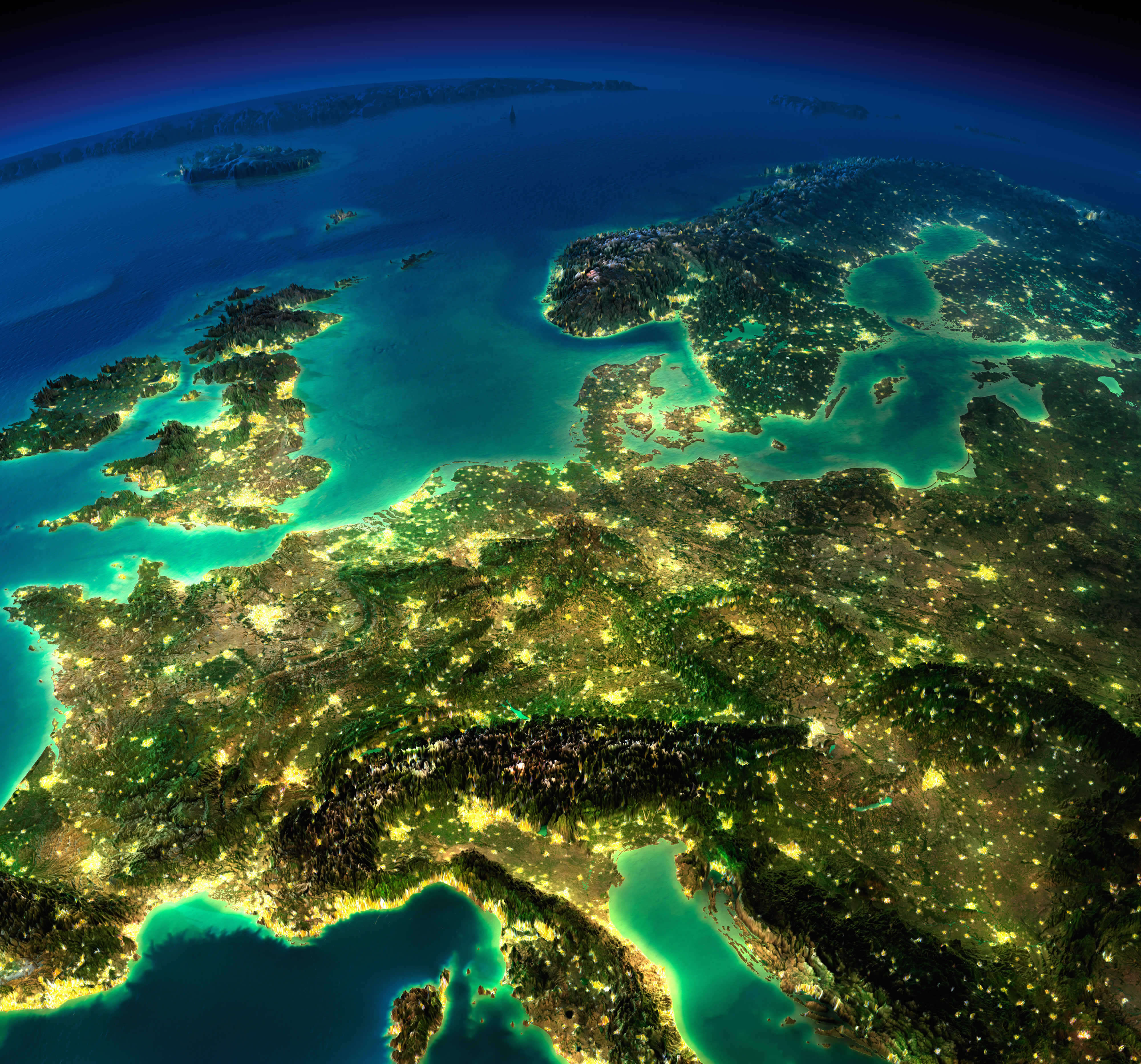
Europe France Germany satellite map in the night
Europe from Spain map
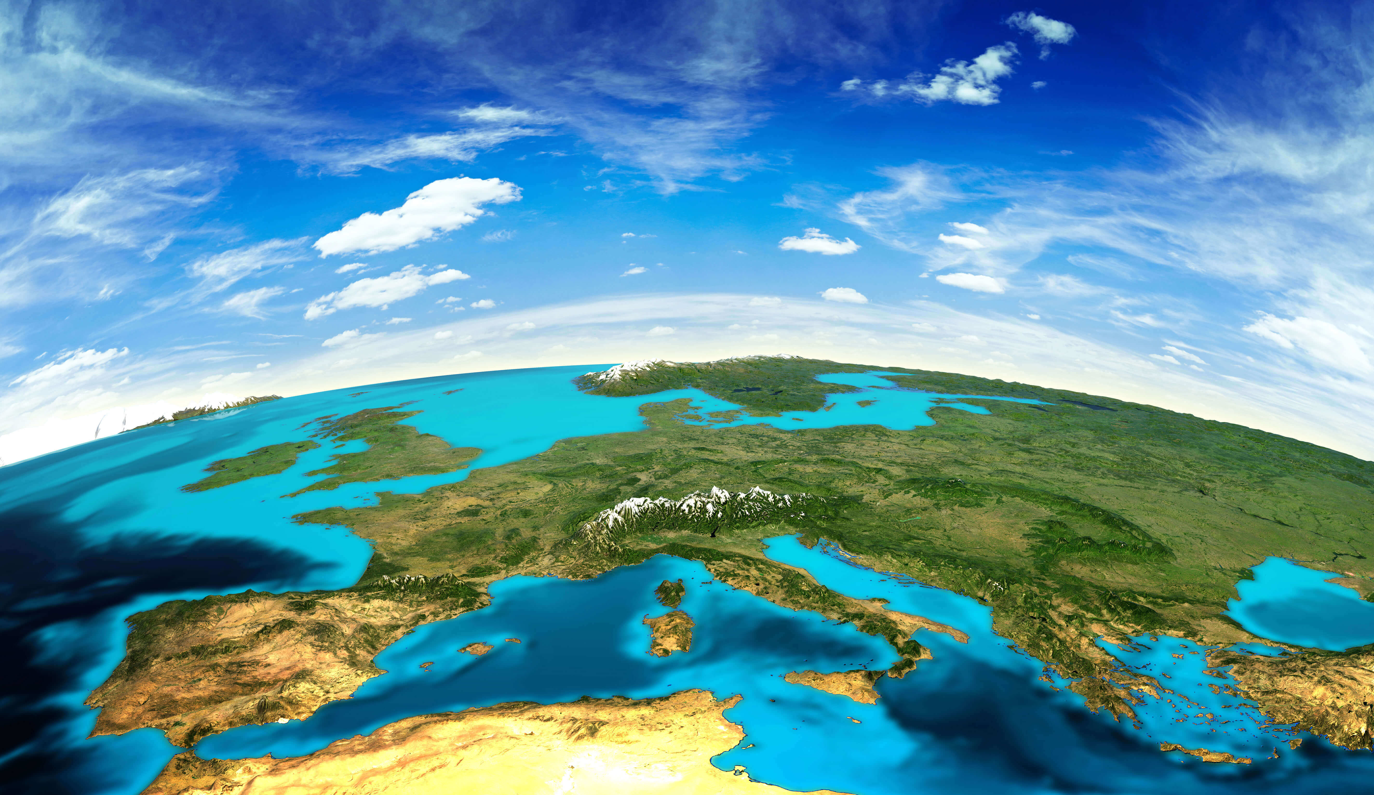
Europe imagery shaded relief map
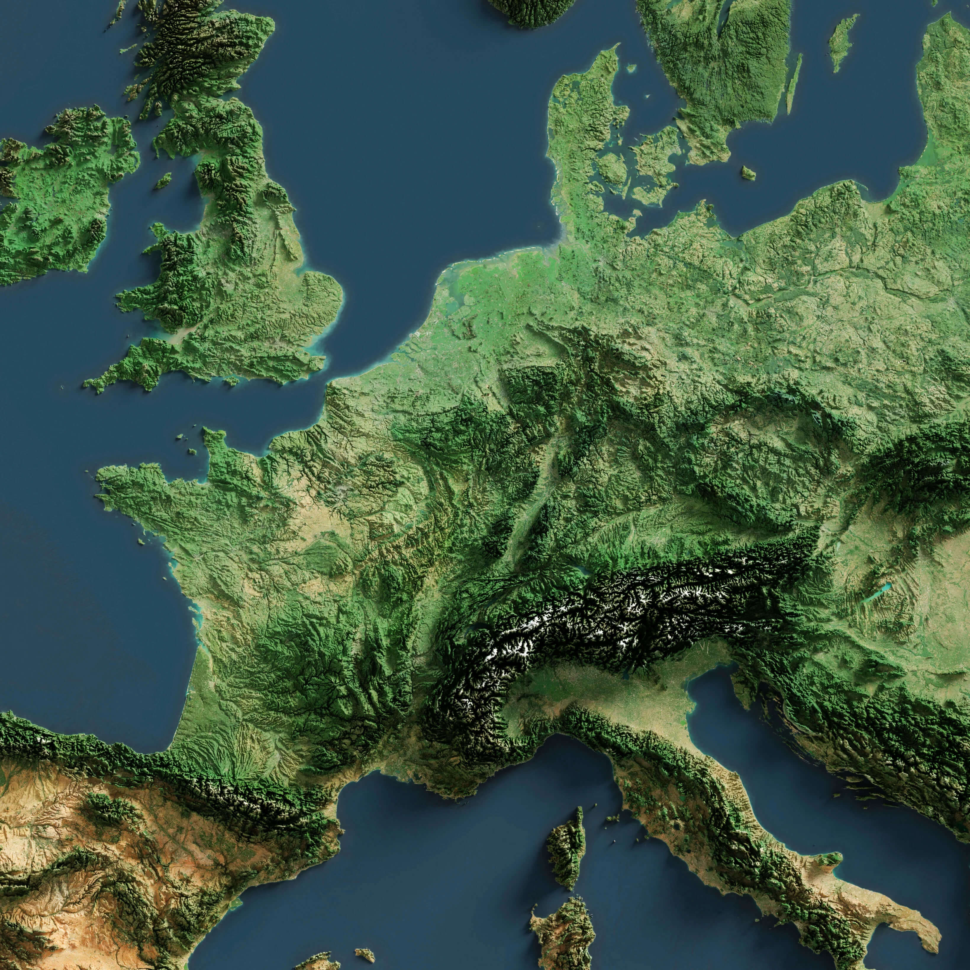
Europe Ireland UK Sweden Norway satellite map in the night
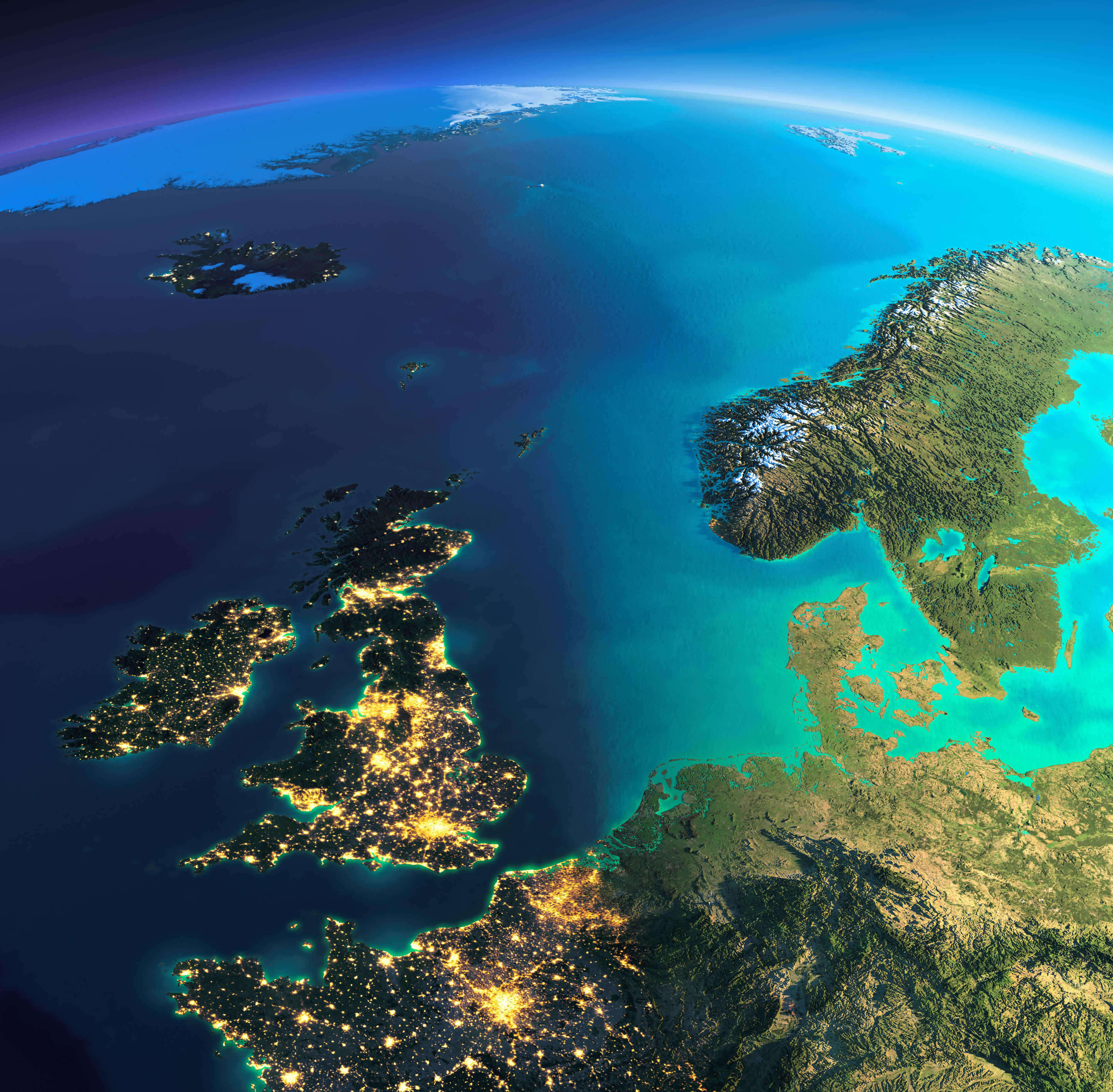
Europe map from space in the night
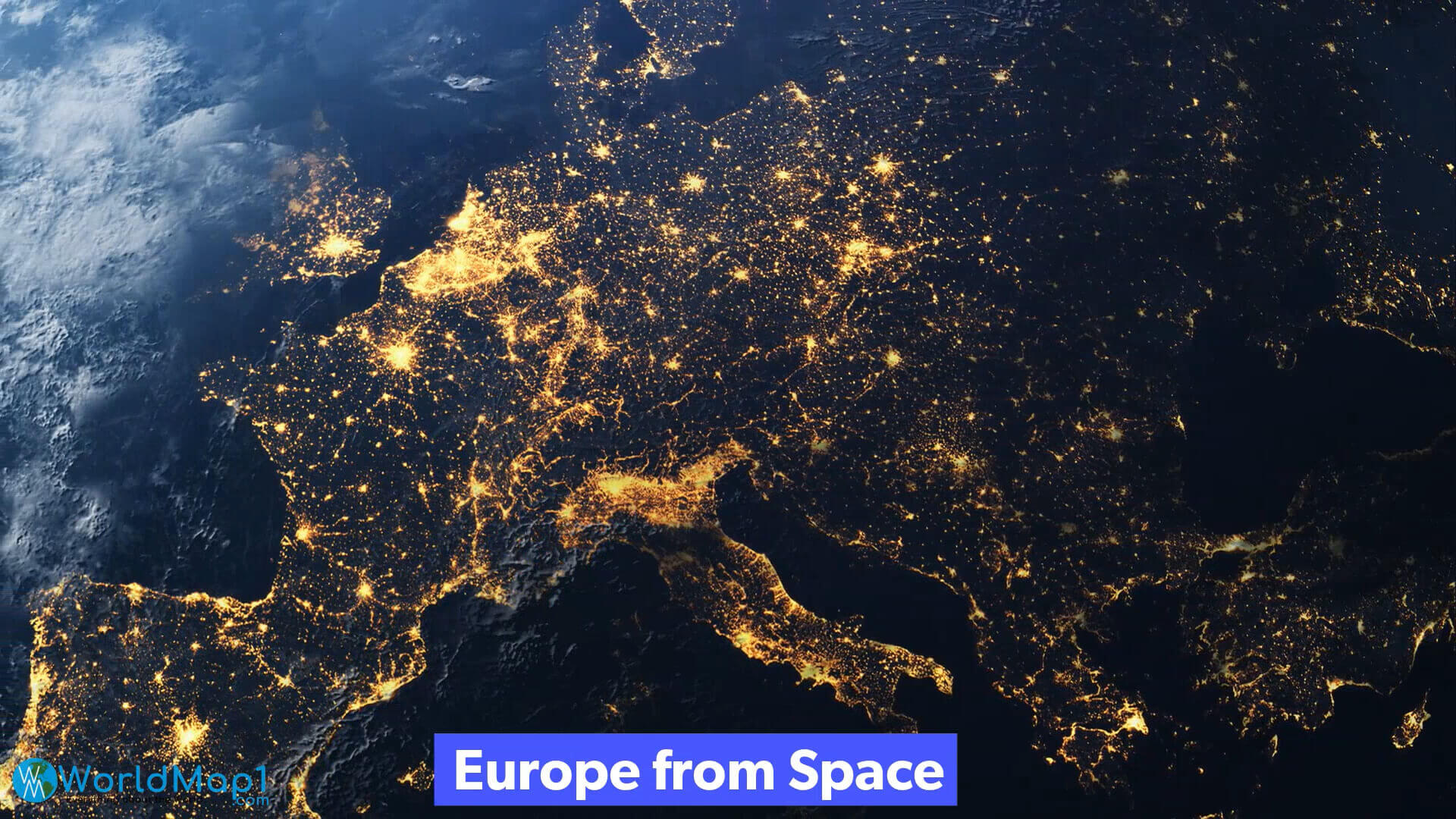
Europe map in the night from space
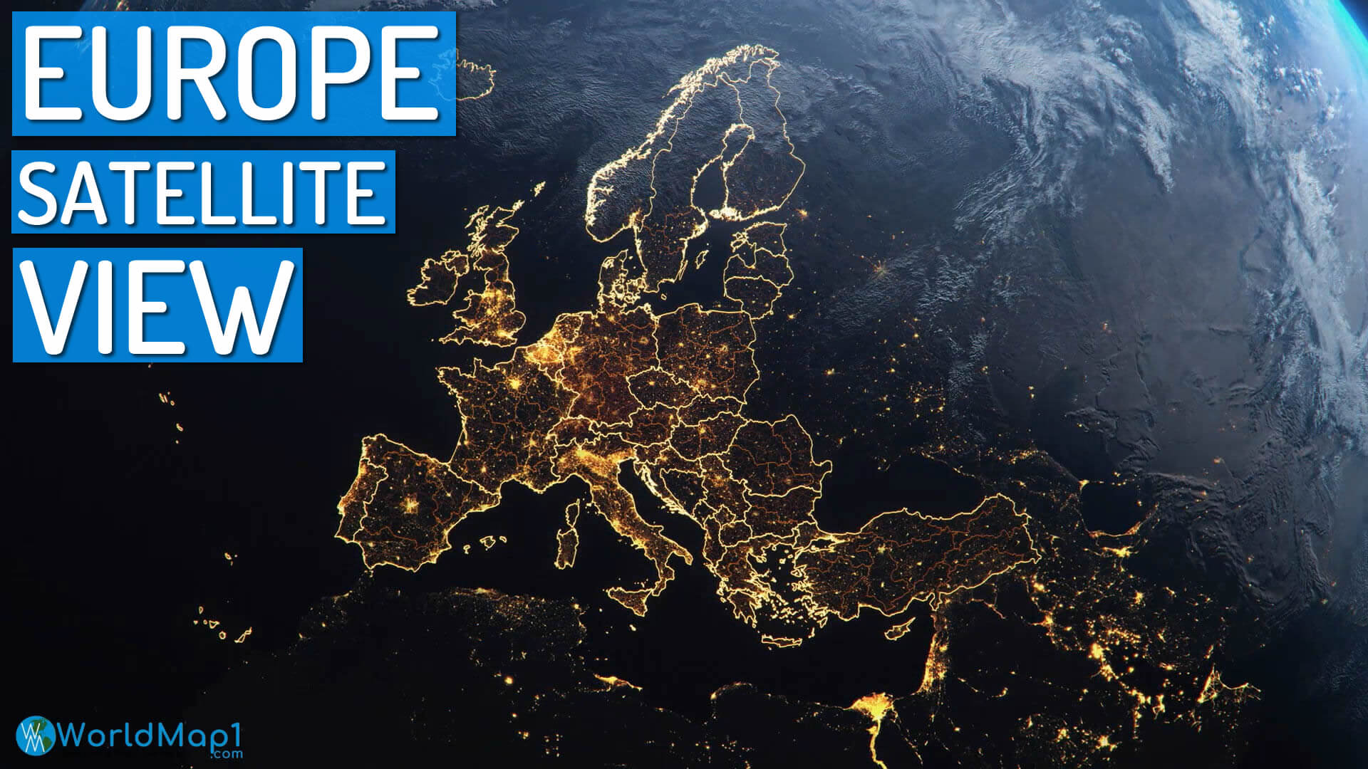
Europe satellite map at night
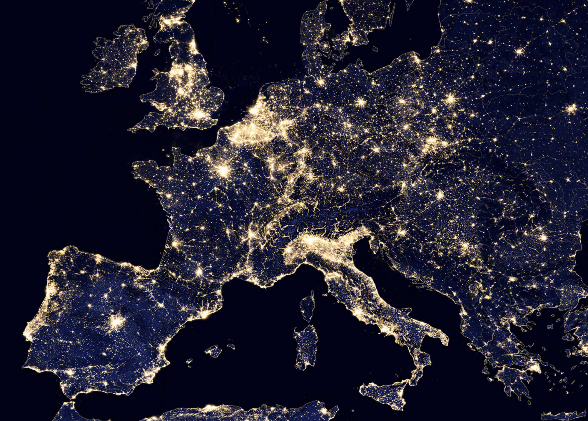
Europe satellite map in the night
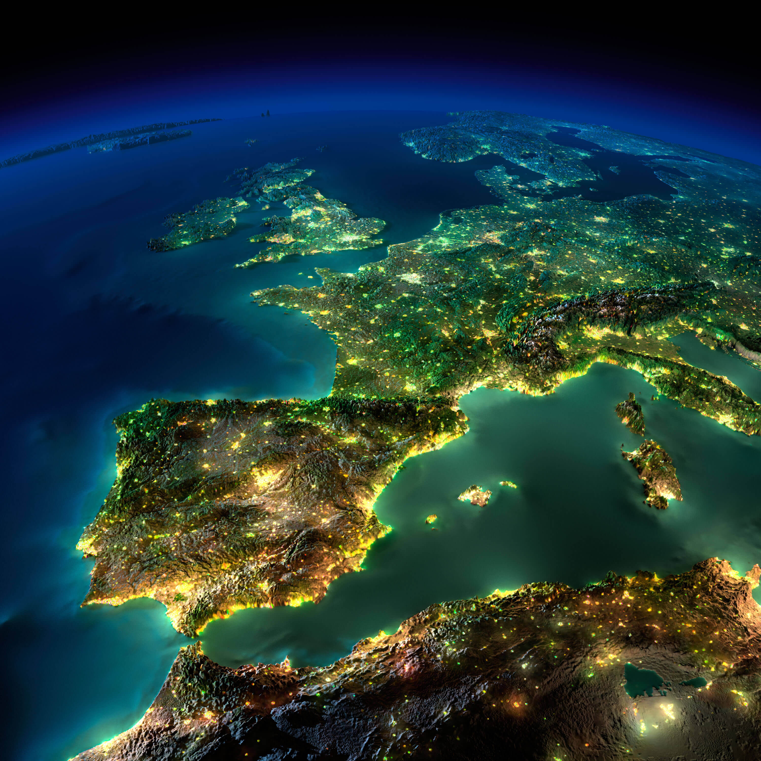
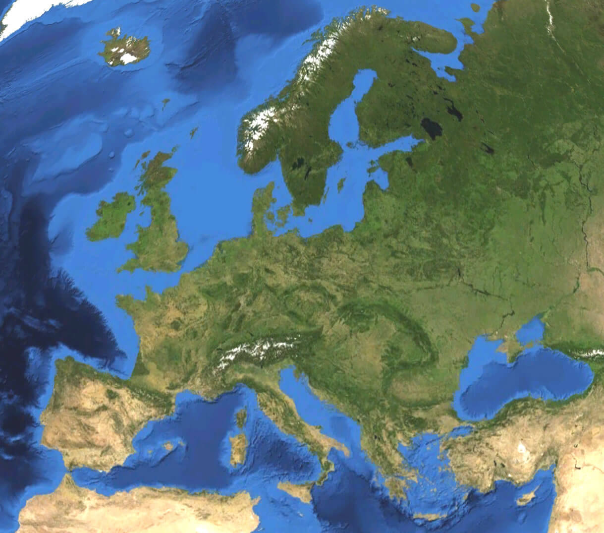
Europe satellite map
Europe satellite view from space
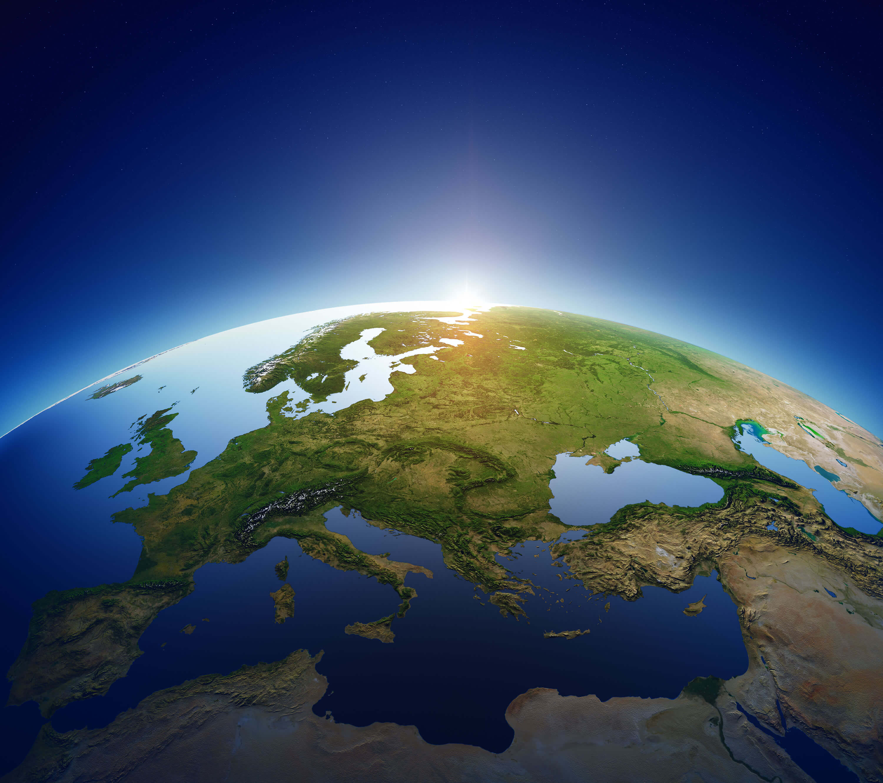
Europe satellite view map from space
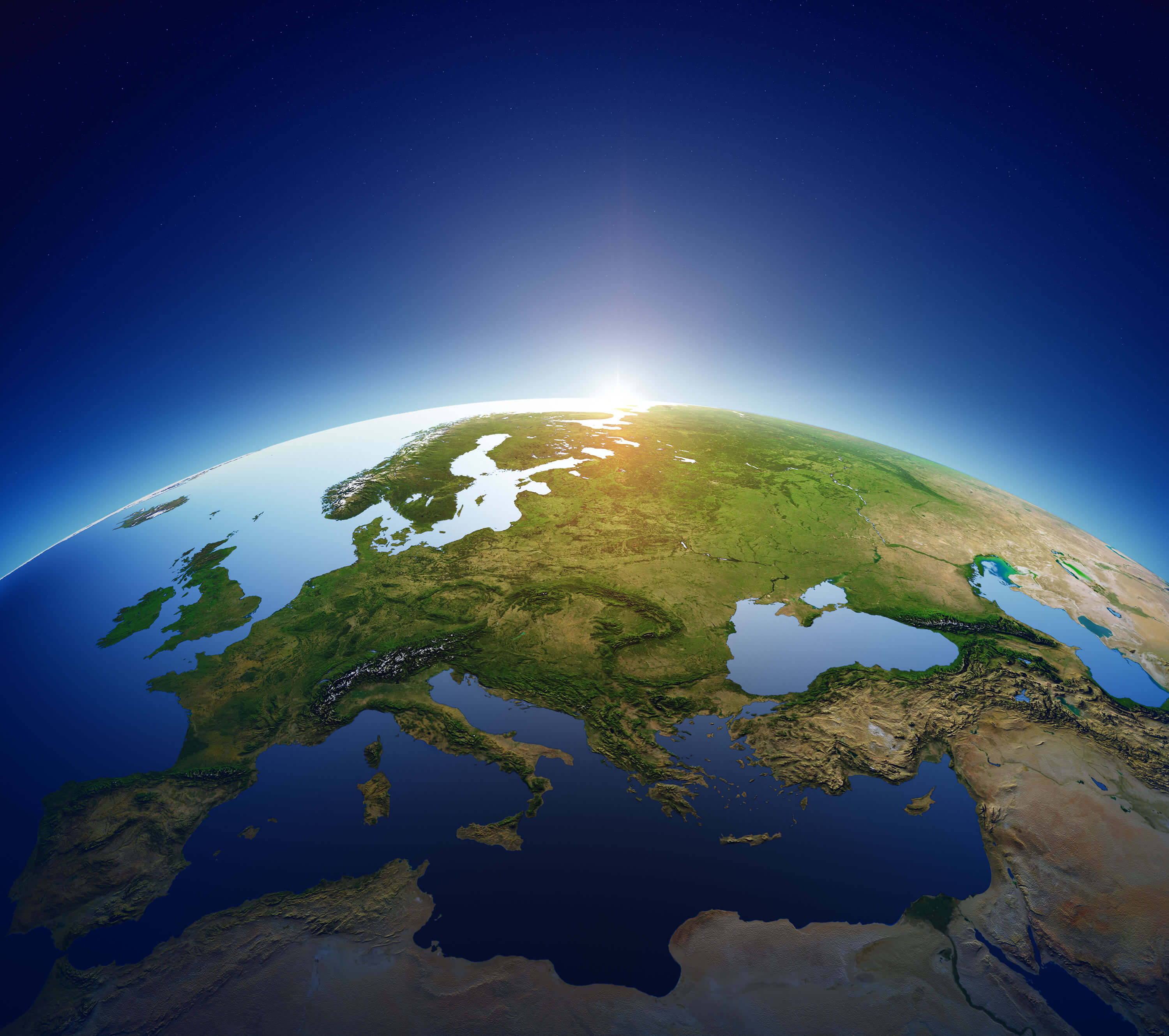
Europe satellite view map
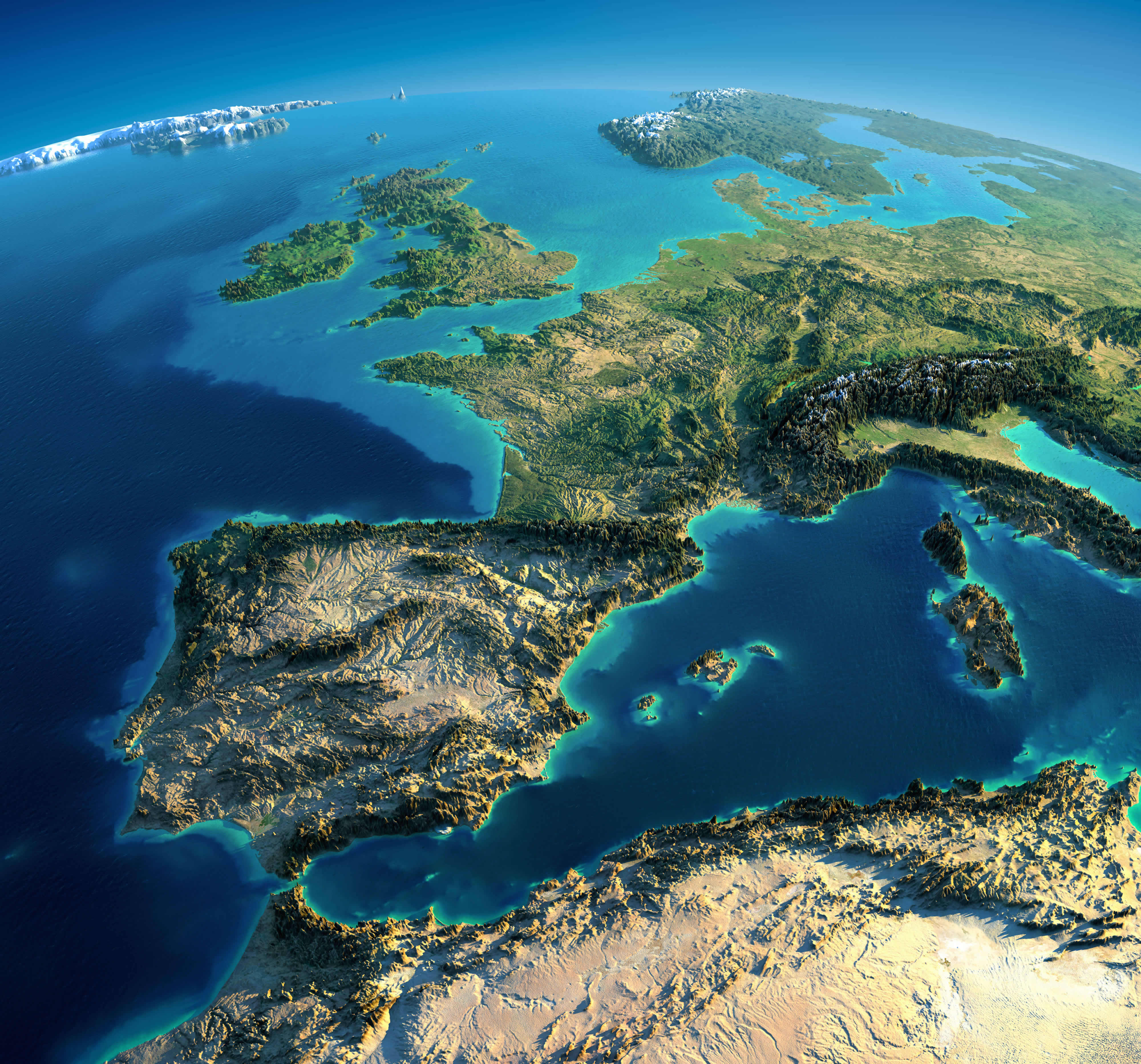
Europe Spain France Italy satellite image
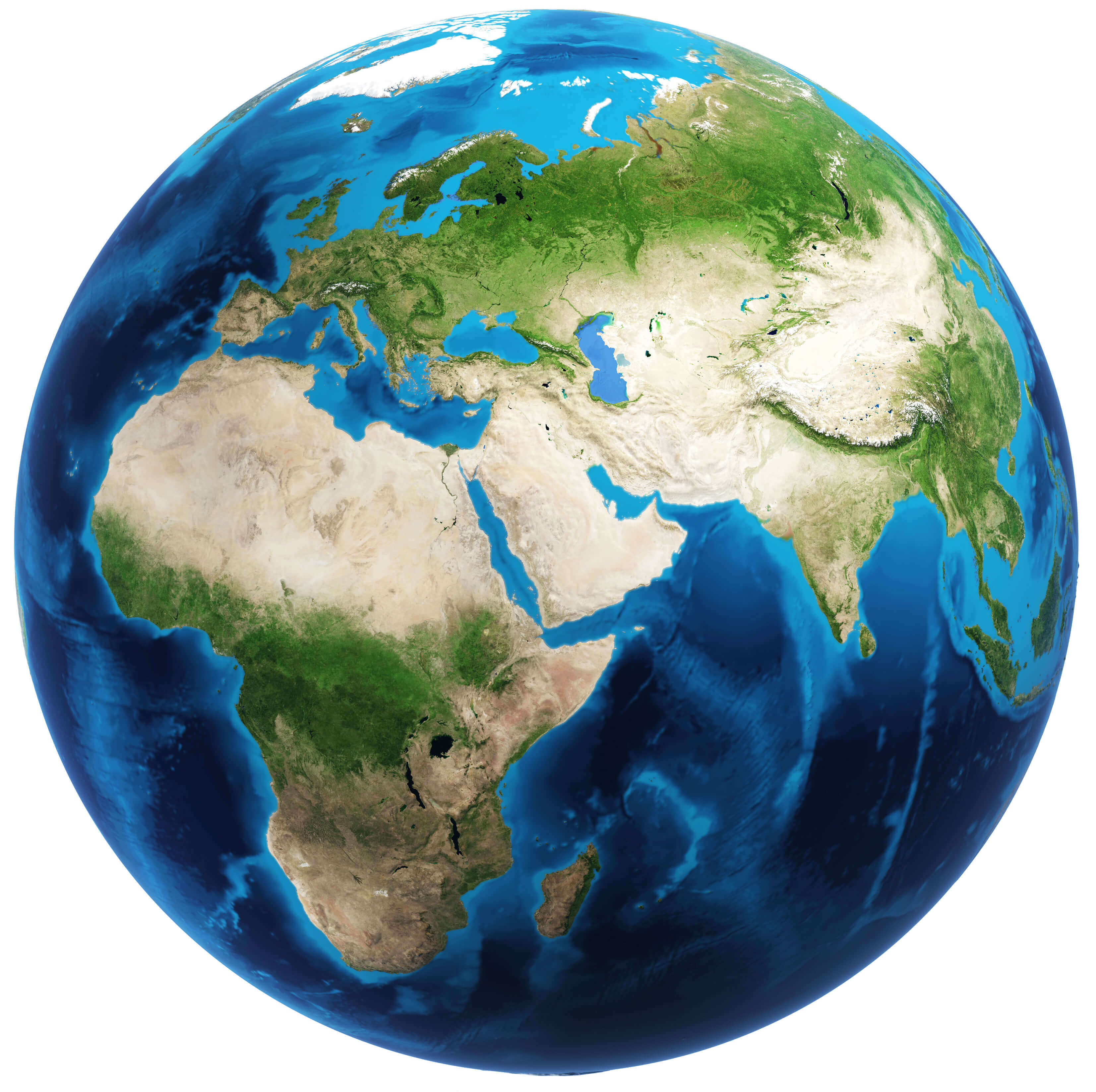
Physical map of Europe and Asia
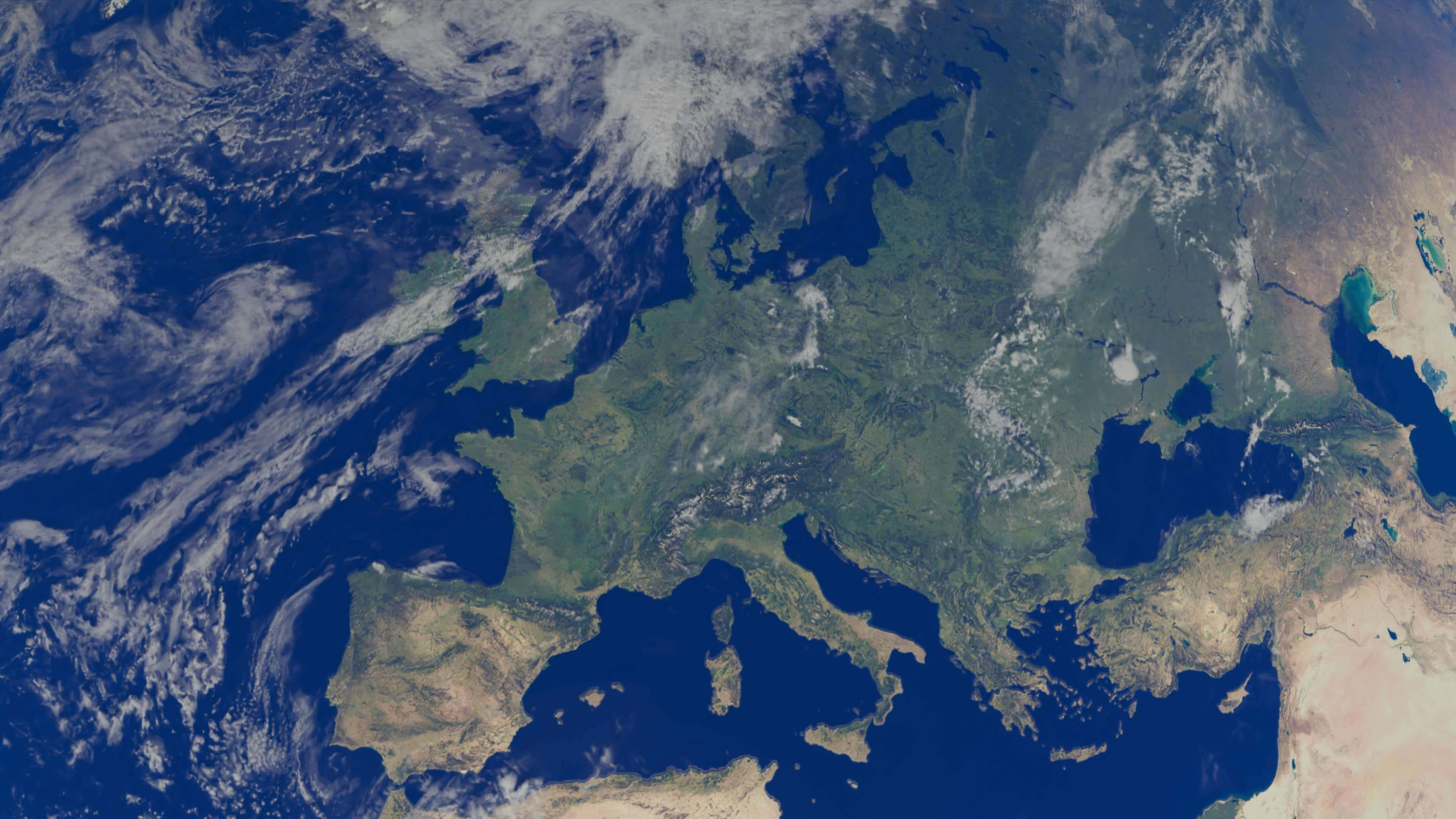
Satellite map of Europe
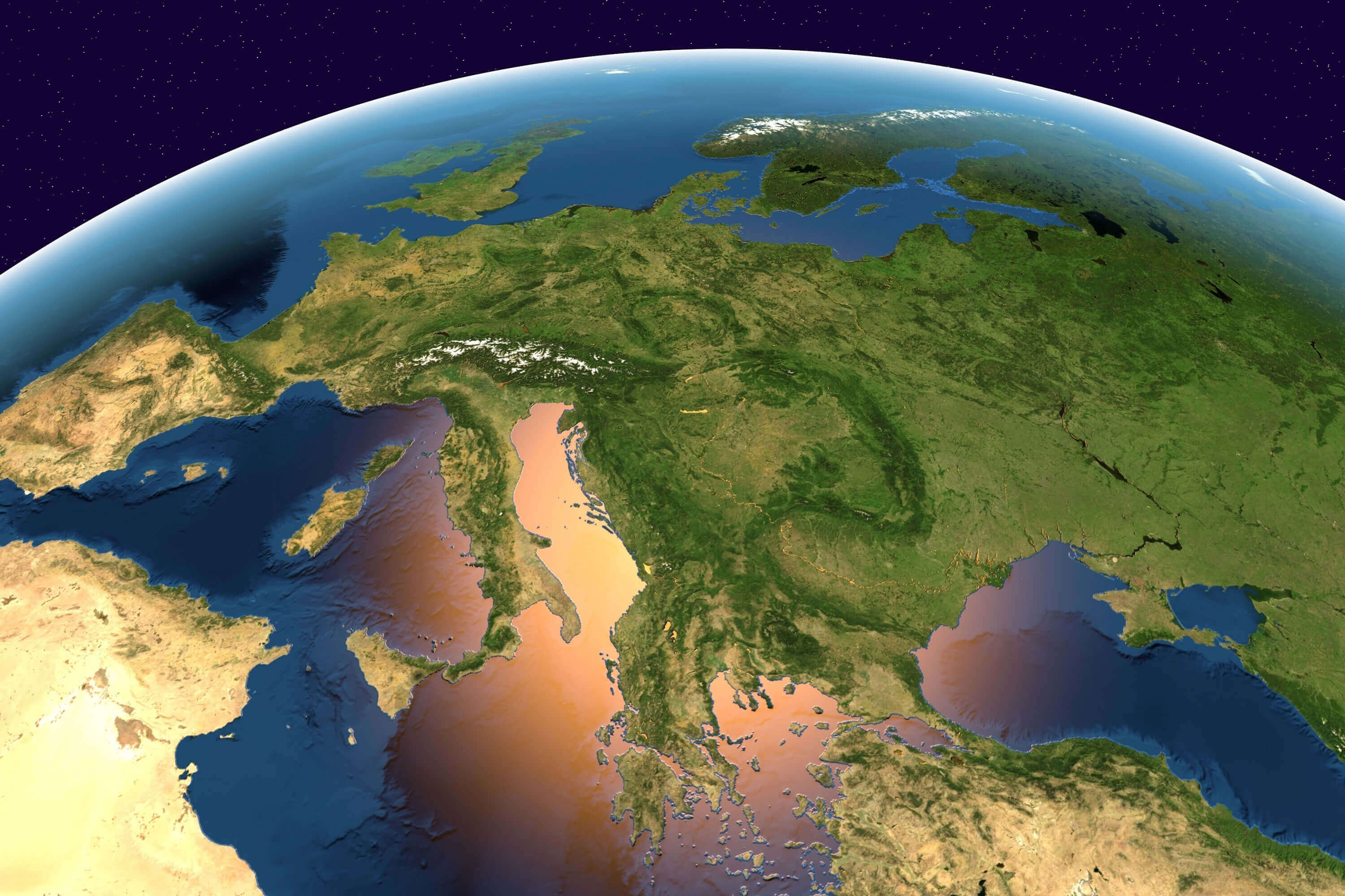
Satellite maps of Europe
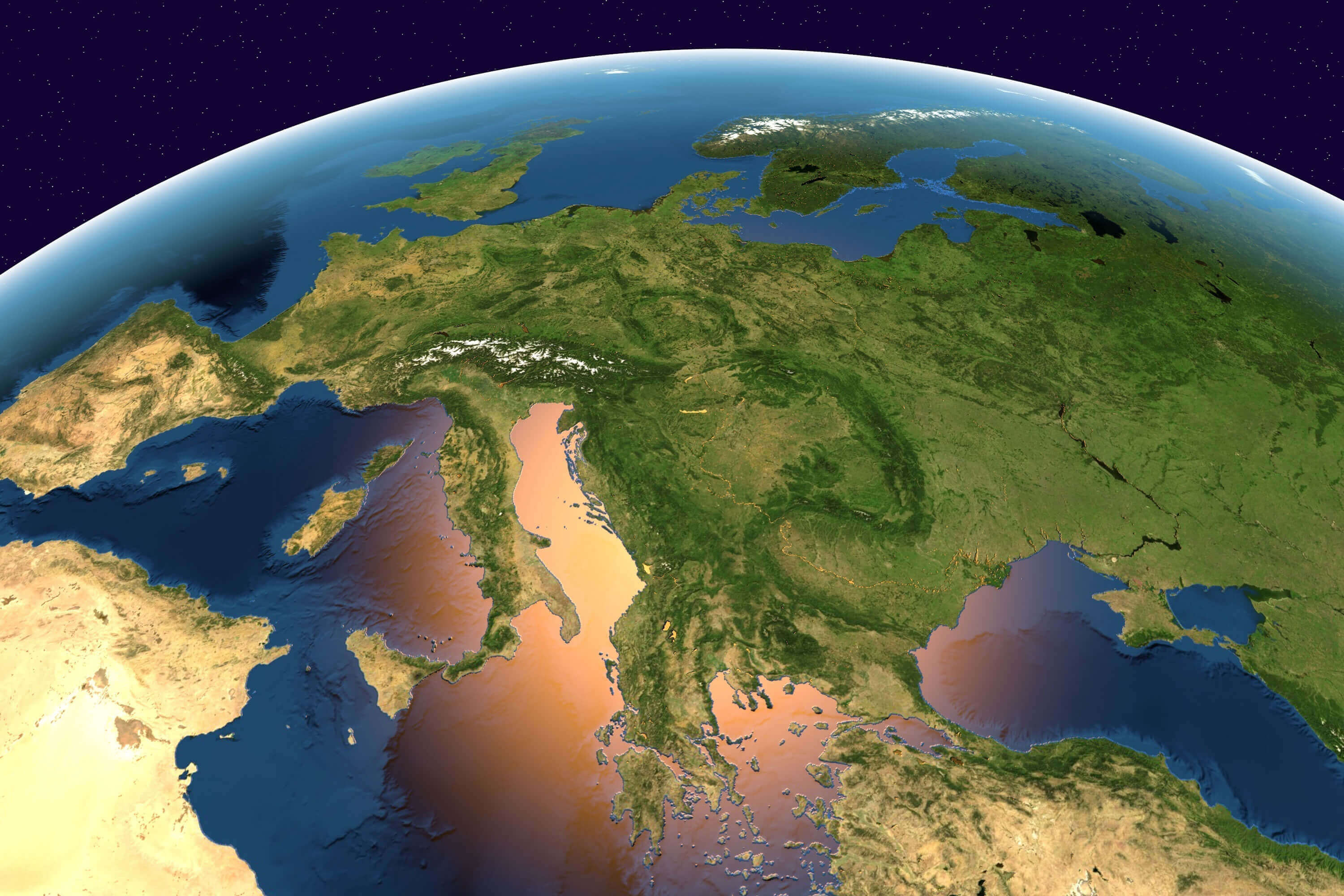
Where is Europe on the World Map?
Show Google Interactive Maps and satellite maps of where the country is located.
Get directions by driving, walking, bicycling, public transportation and travel with street view.
Feel free to explore these pages as well:
- Europe Map ↗️
- Map of Europe ↗️
- Europe Countries Map ↗️
- Europe High-resolution Map ↗️
- Europe Cities Map ↗️
- A Collection of Europe Maps ↗️
- Europe Physical Map ↗️
- Europe Political Map ↗️
- Europe Population Map ↗️
- Europe Road Map ↗️
- Europe Religion Map ↗️
- Europe Historical Map ↗️
- Europe Topography Map ↗️
- Europe Time Zone Map ↗️
- Muslim Population Map in Europe by Country ↗️
- France Map ↗️
- Map of Spain ↗️
- Italy Map ↗️
- United Kingdom Map ↗️
- Germany Map ↗️
- Switzerland Map ↗️
- Advertisement -
