- Advertisement -
A Collection of Indiana Photos
Capitol Building, Indianapolis

Statue of Thomas Hendricks and capitol building, Indianapolis, Indiana.
Indiana Central Canal
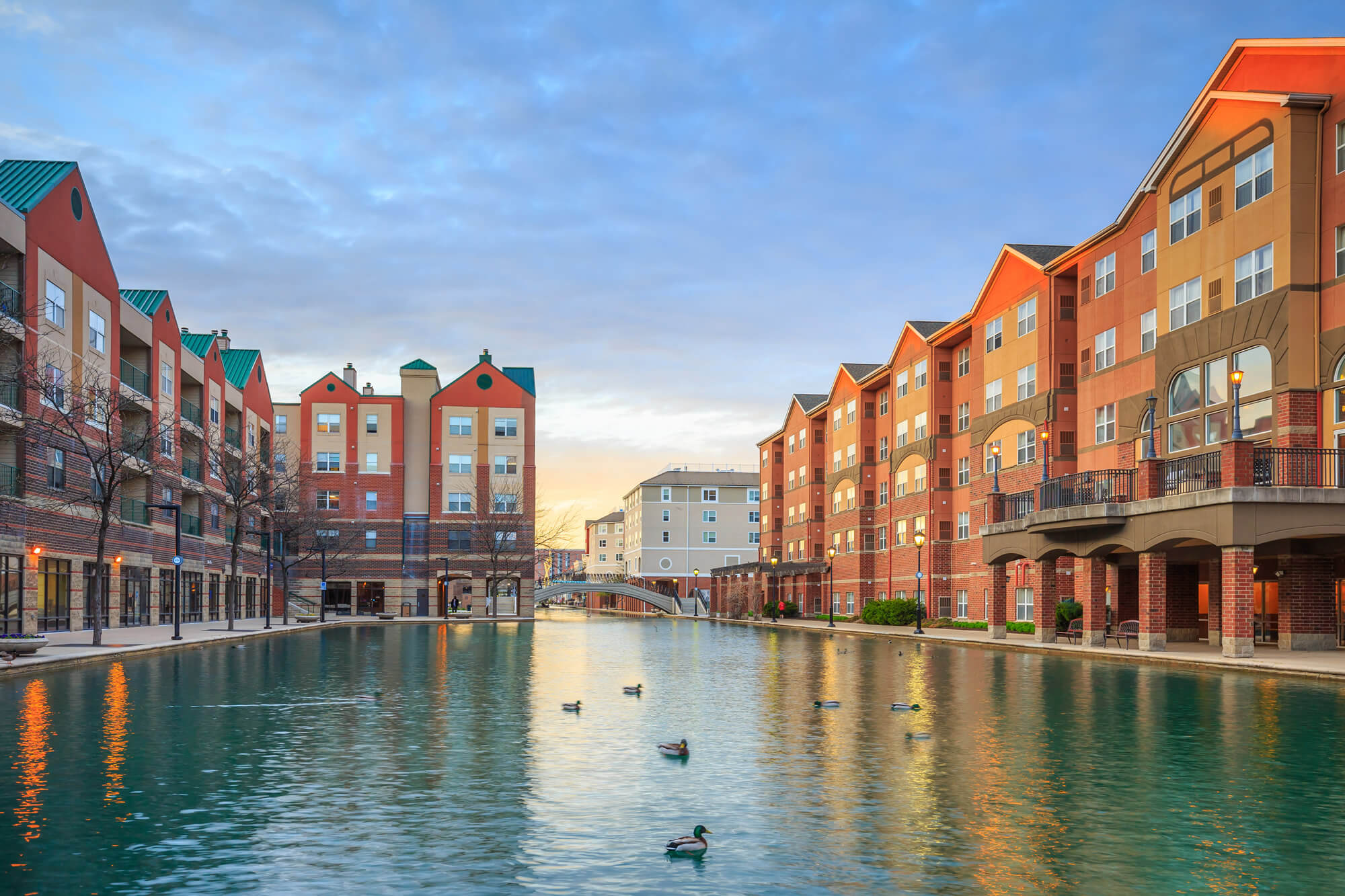
Downtown of Indianapolis by Indiana Central Canal.
Downtown Indianapolis, Indiana
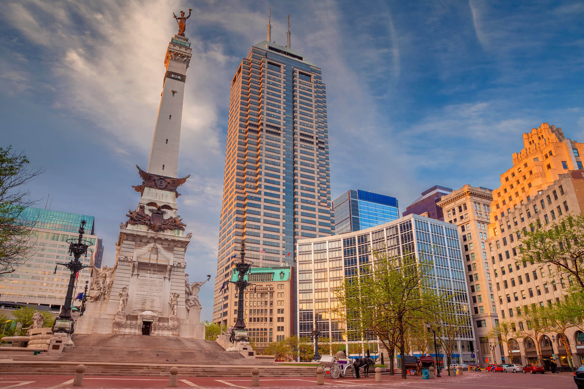
Indianapolis. Cityscape image of downtown Indianapolis, Indiana during sunset.
Indiana Capitol Building
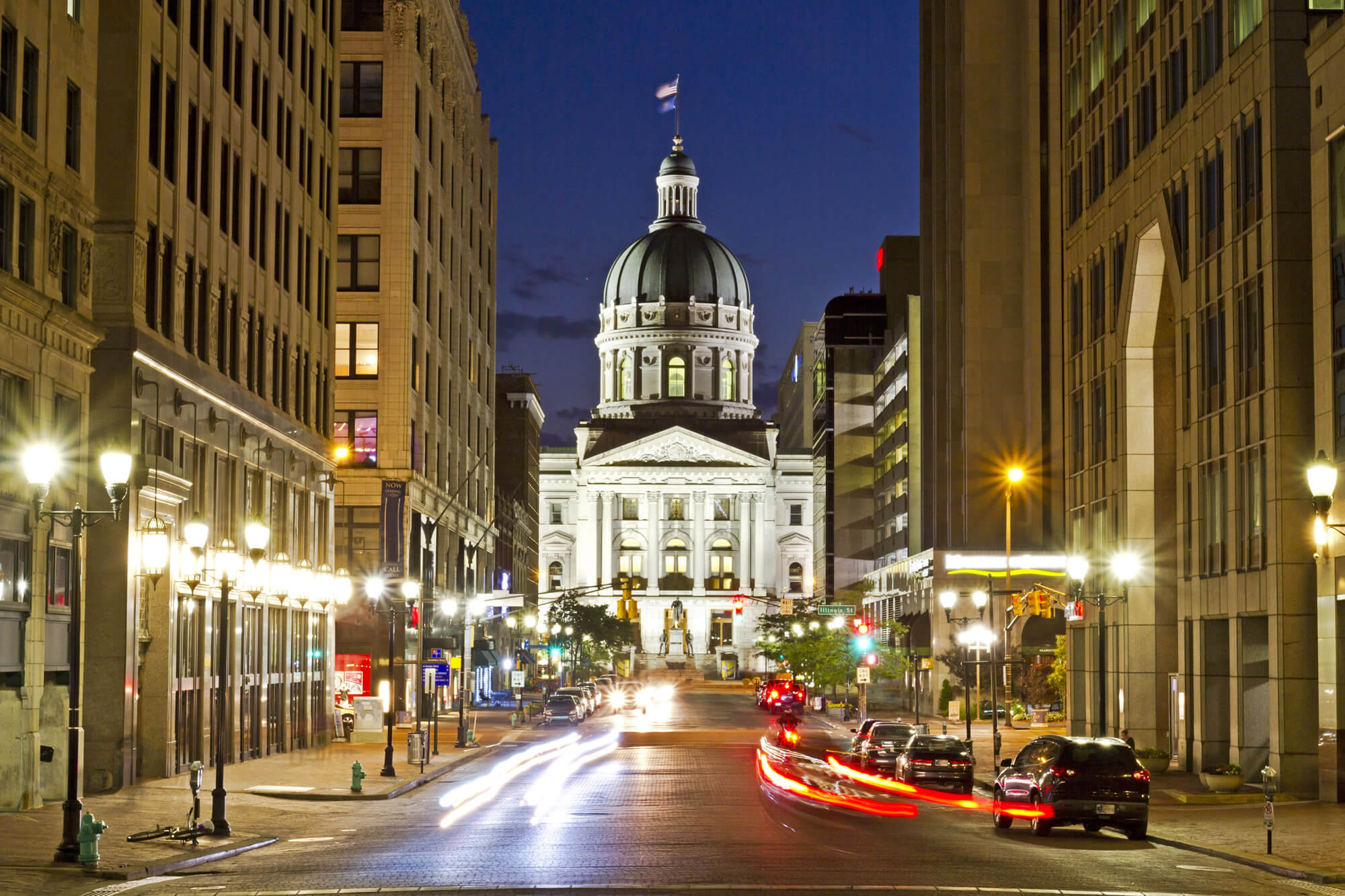
A dramatic view of the Indiana capitol building at night in Indianapolis, with busy streets and a long exposure.
Indianapolis Drone View
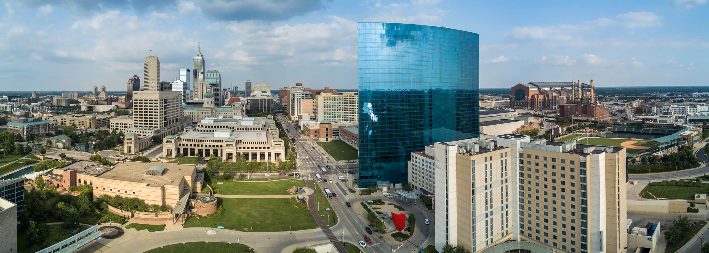
Indianapolis Drone View, Indiana, United States.
Where is Indiana on the US Map?
Show Google map, satellite map, where is the country located.
Get directions by driving, walking, bicycling, public transportation and travel with street view.
Feel free to explore these pages as well:
- Indiana Map ↗️
- Indiana Cities Map ↗️
- Map of Indiana ↗️
- Illinois Map ↗️
- Map of Illinois ↗️
- Illinois Photos ↗️
- Top 10 Best Experiences to Maximize Your Chicago Journey ↗️
- Chicago’s Hidden Gems: Exploring the Lesser-Known Sights of the Windy City ↗️
- Kenosha Travel Guide, Kenosha Protests and 4K Aerial View ↗️
- United States Map ↗️
- Map of United States ↗️
- North America Map ↗️
- Map of North America ↗️
- Advertisement -
