- Advertisement -
Explore a wide collection of high resolution printable world maps, including political, physical, relief, and satellite versions. From blank maps and population density charts to maps with countries, capitals, and time zones, these resources are perfect for education, research, and travel planning.
High resolution printable World atlas
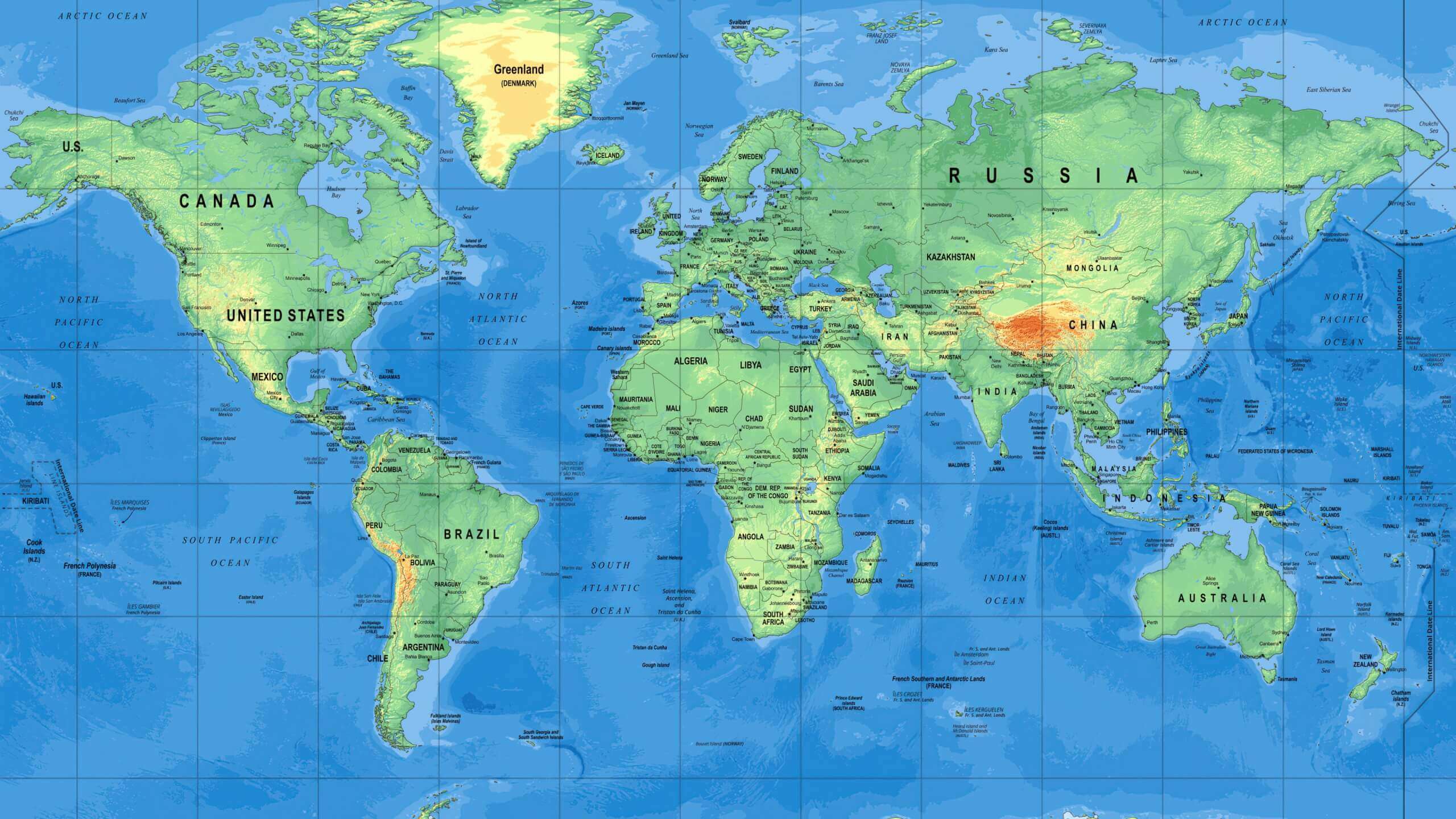
High resolution printable World map with national fags
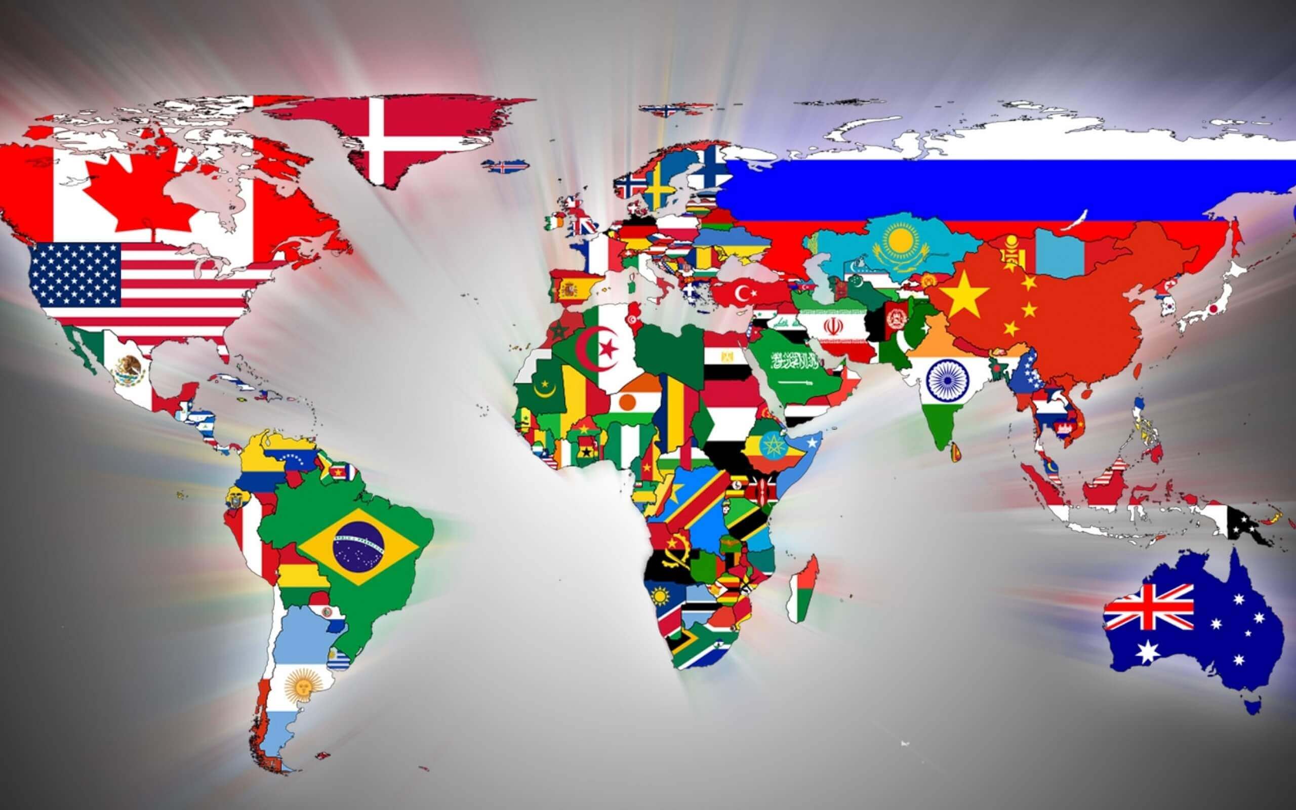
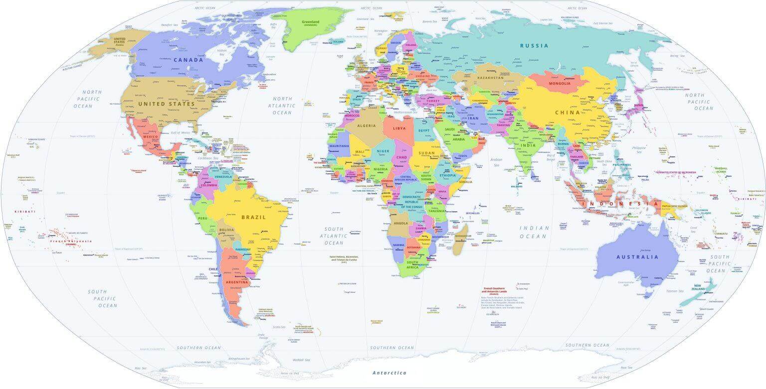
Printable High Resolution World Political Map
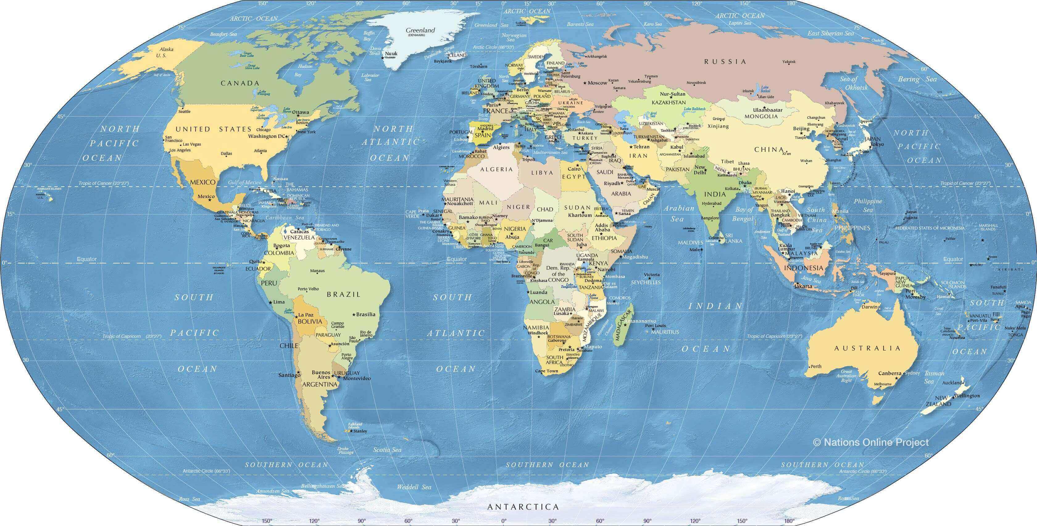
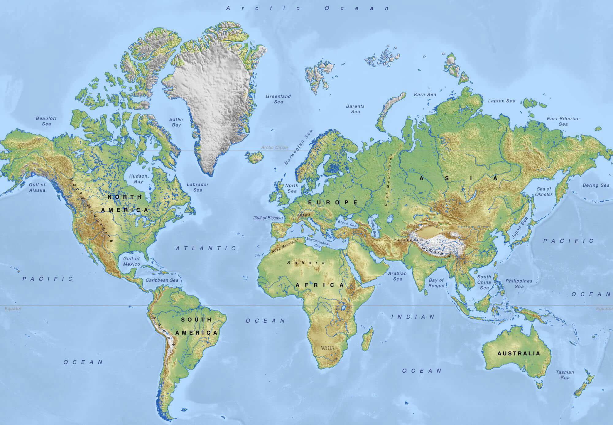
Physical High Resolution Printable World Map
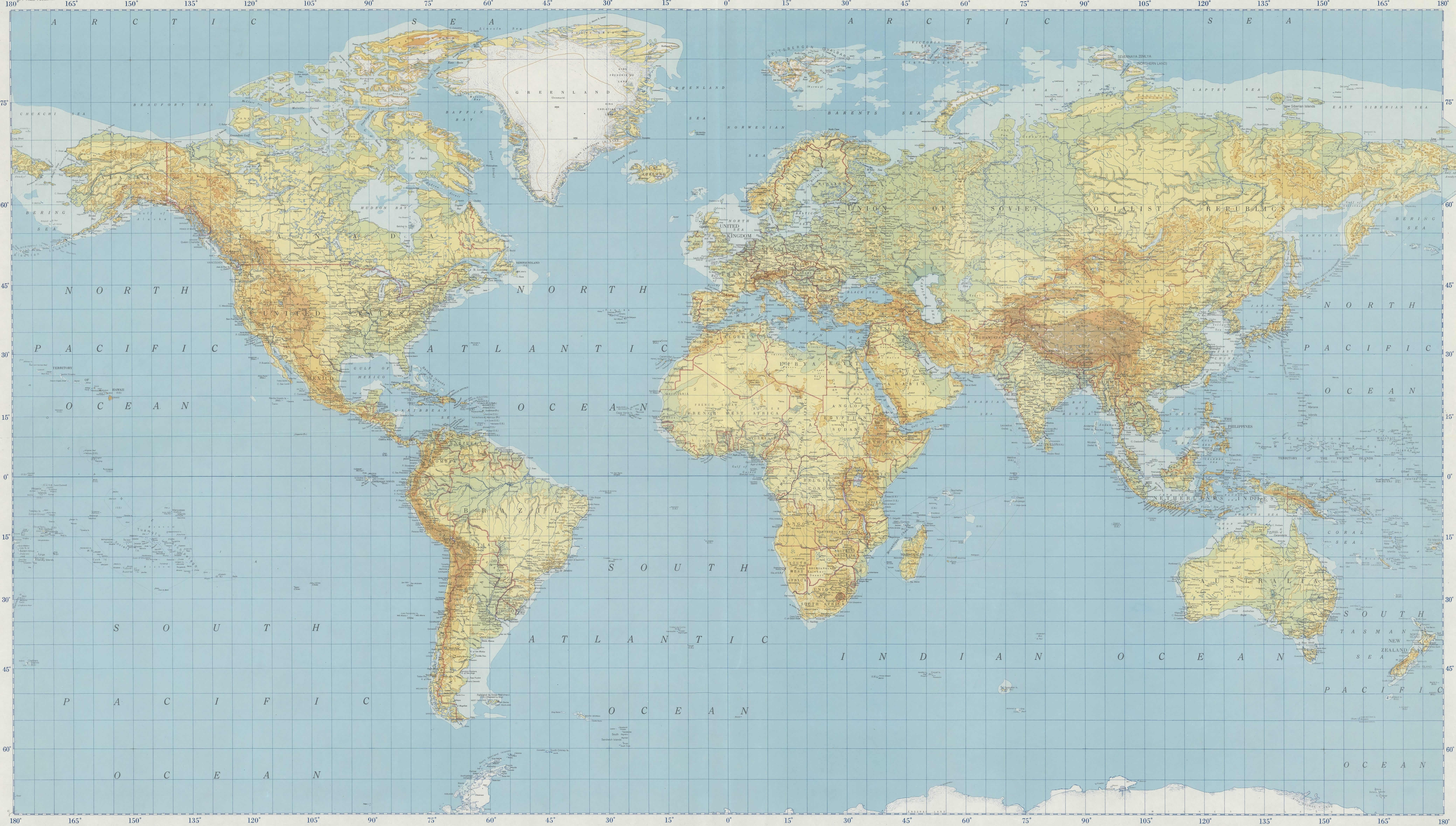 High resolution physical world map showing terrain, mountains, and oceans.
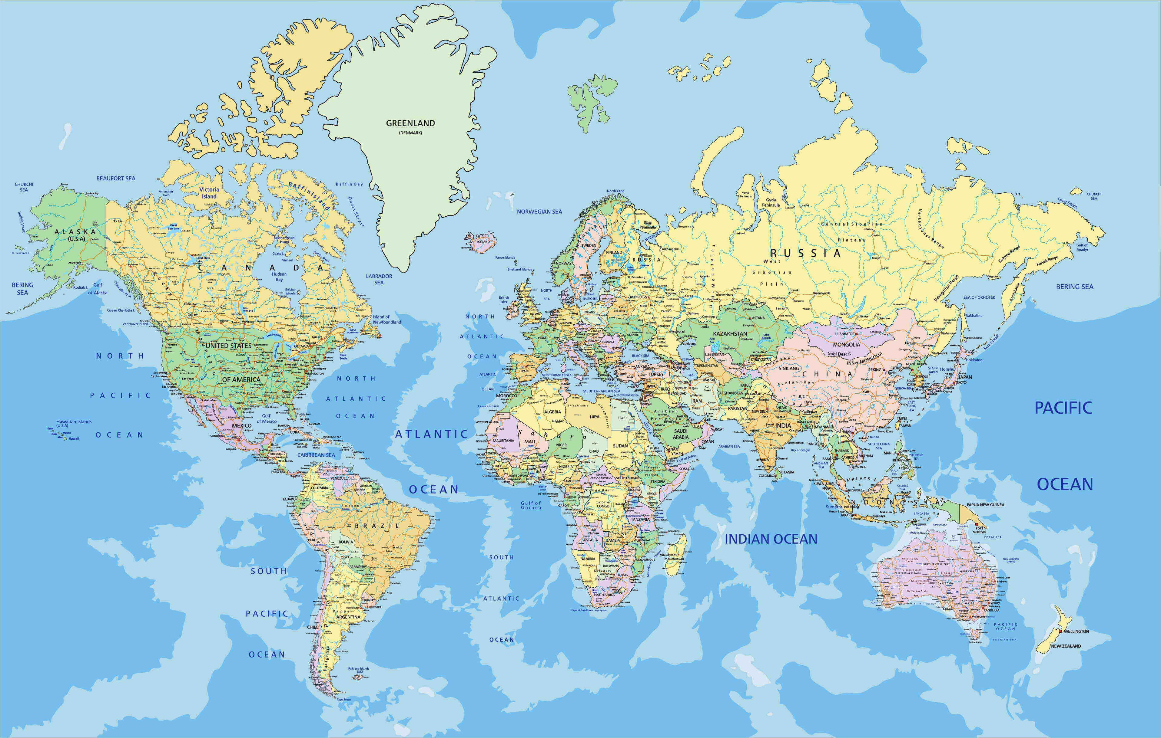
Large printable World political map
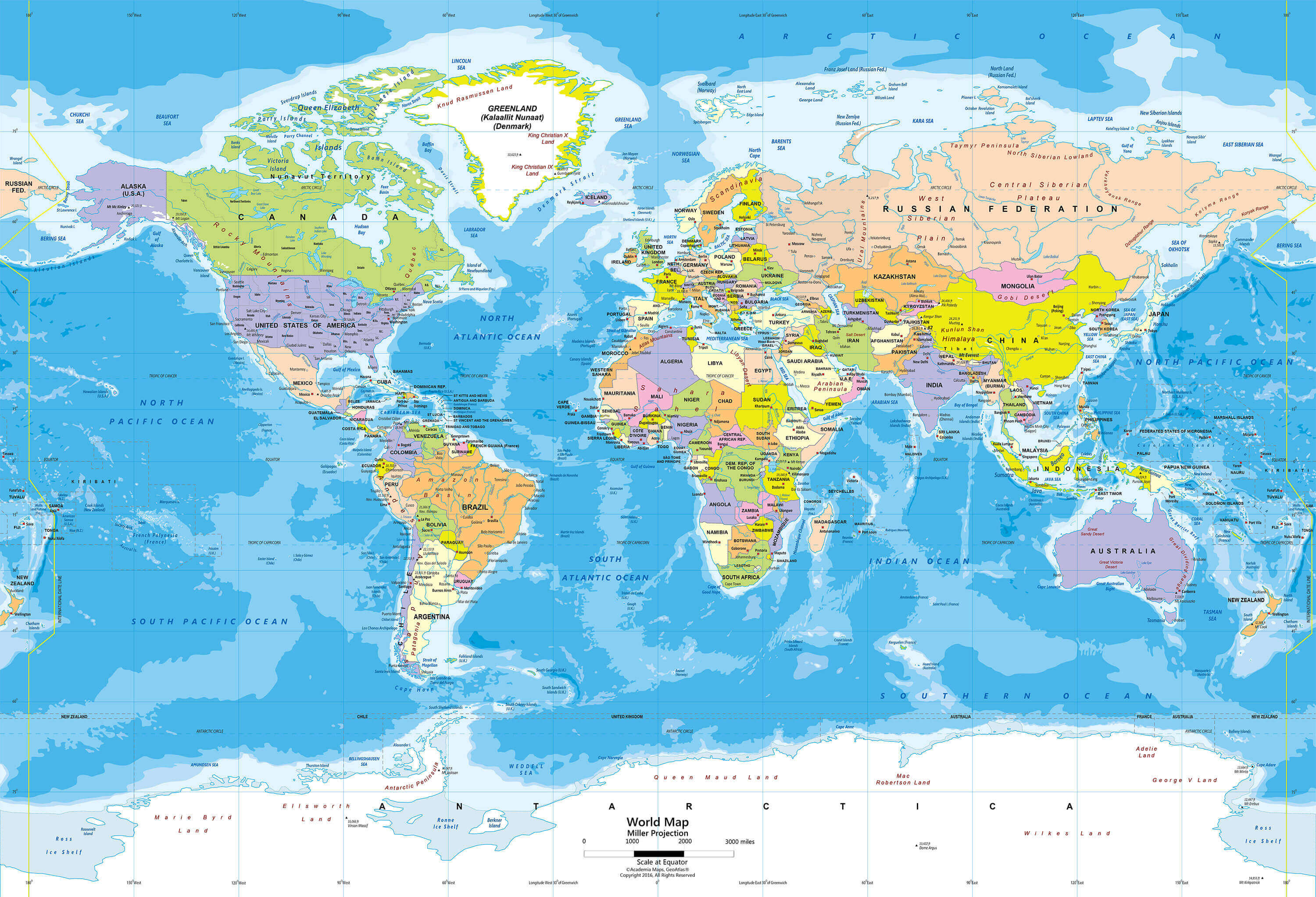
Printable countries map of the World
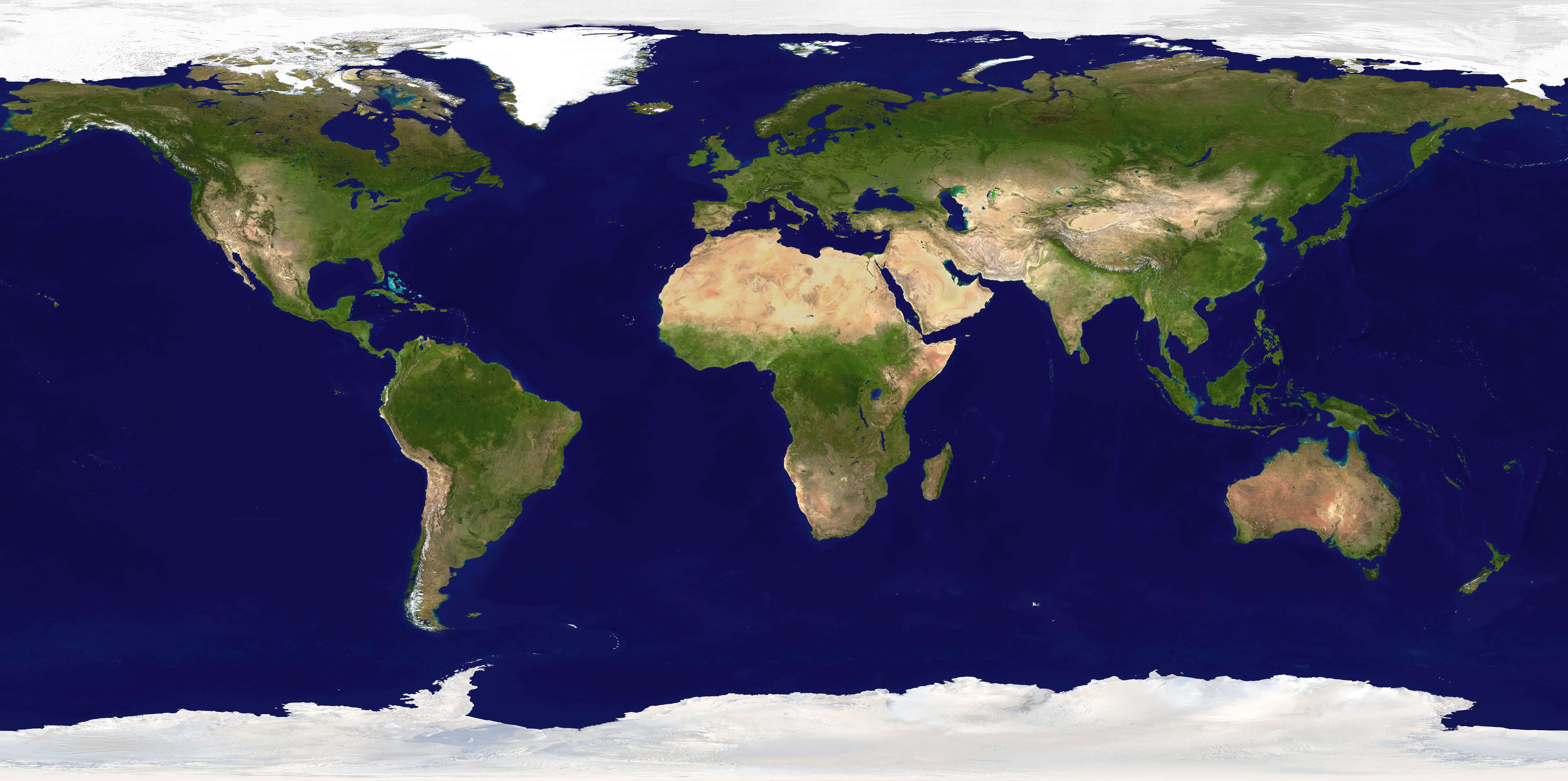
Printable Earth satellite map
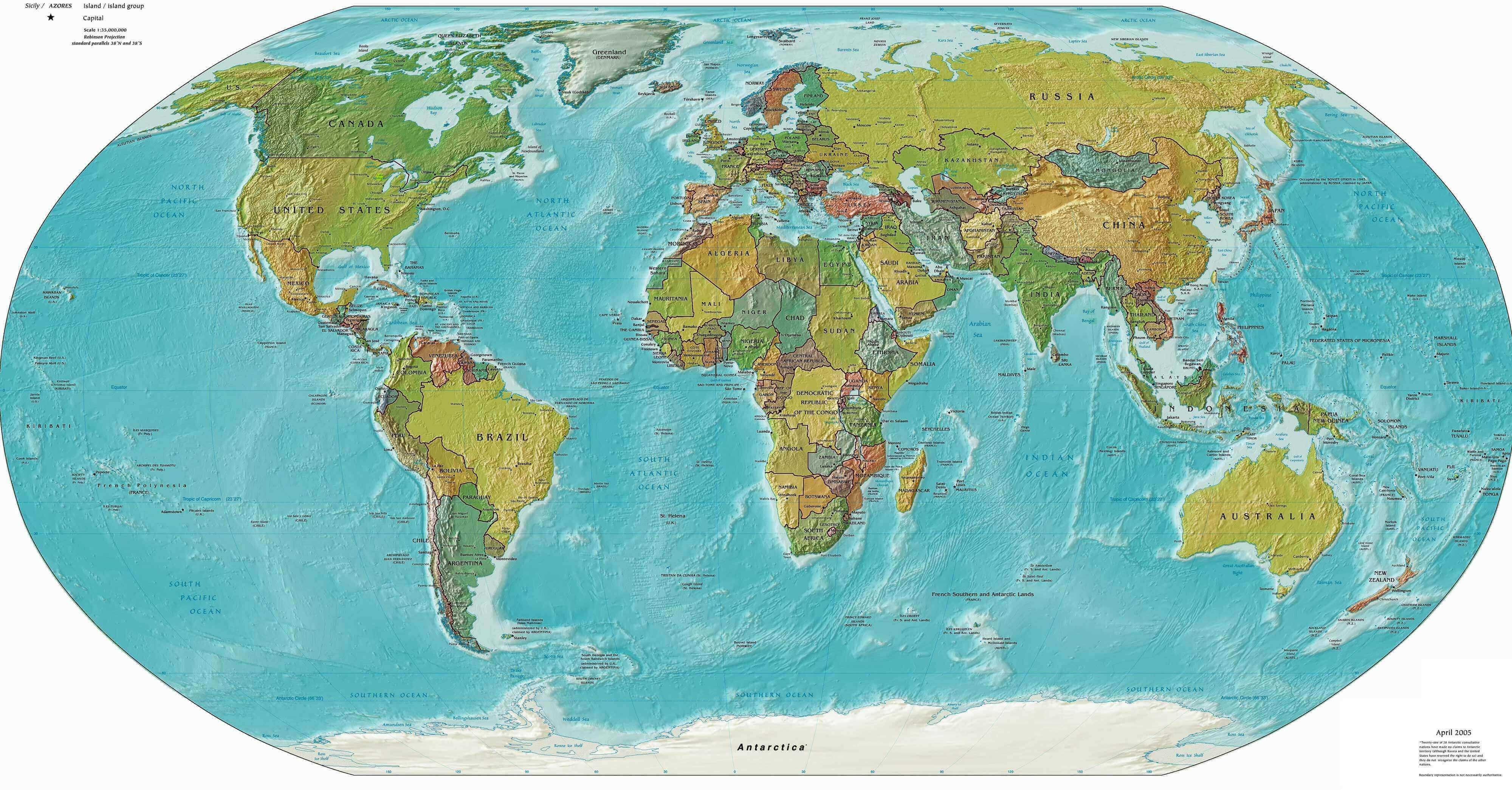
Printable free relief map of the World
Printable large political map of the World in Russian
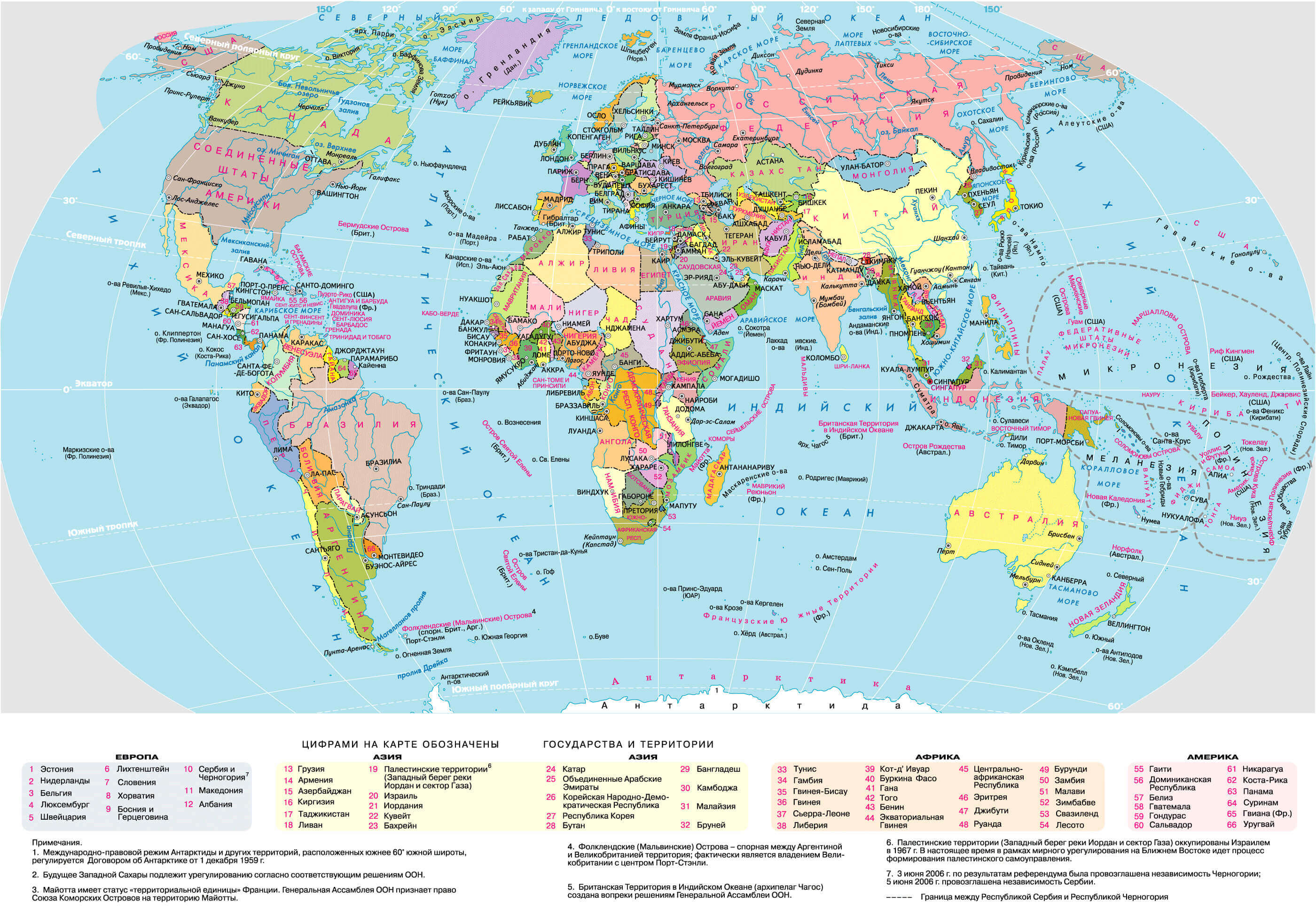
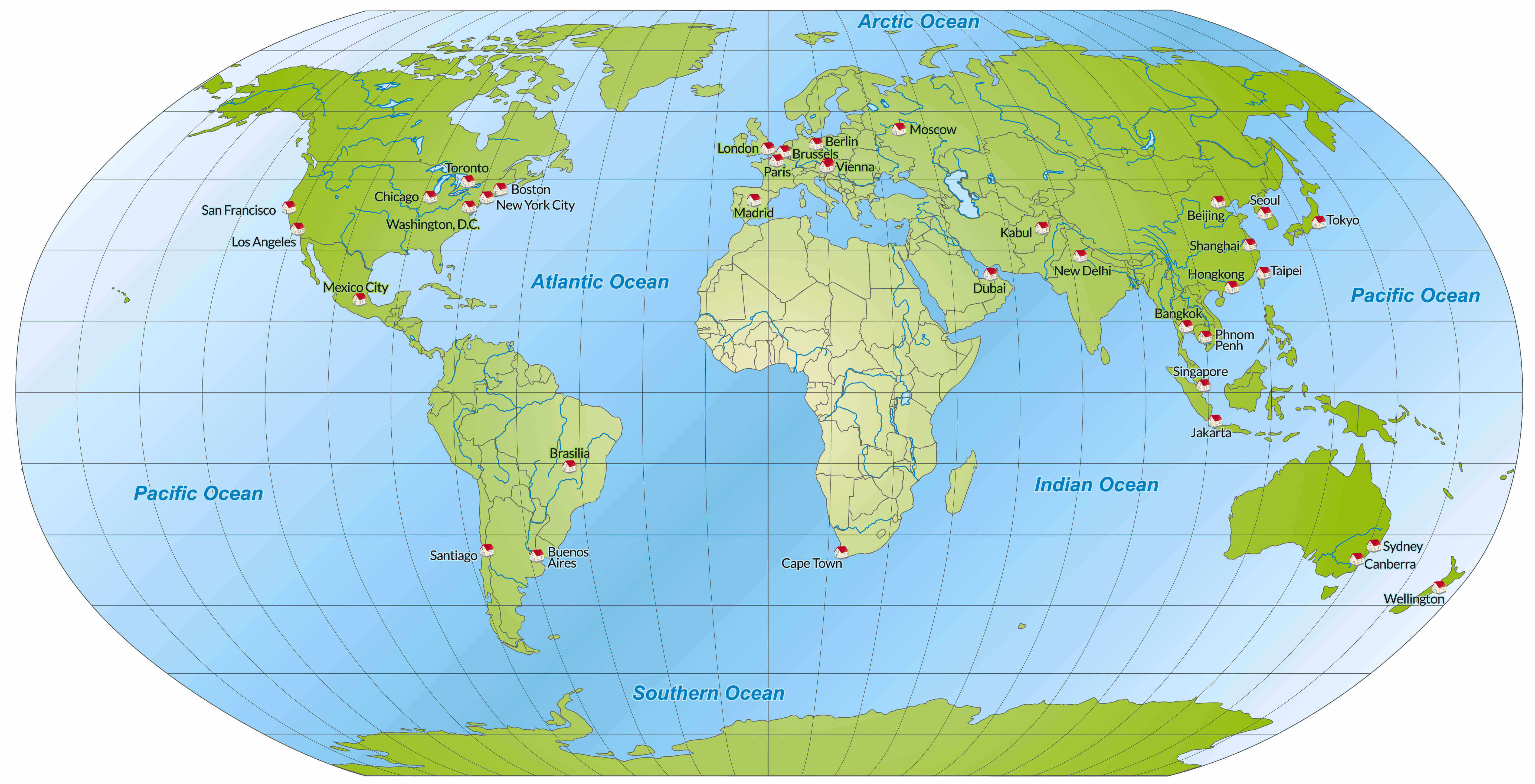
Printable map of the World with countries and major cities
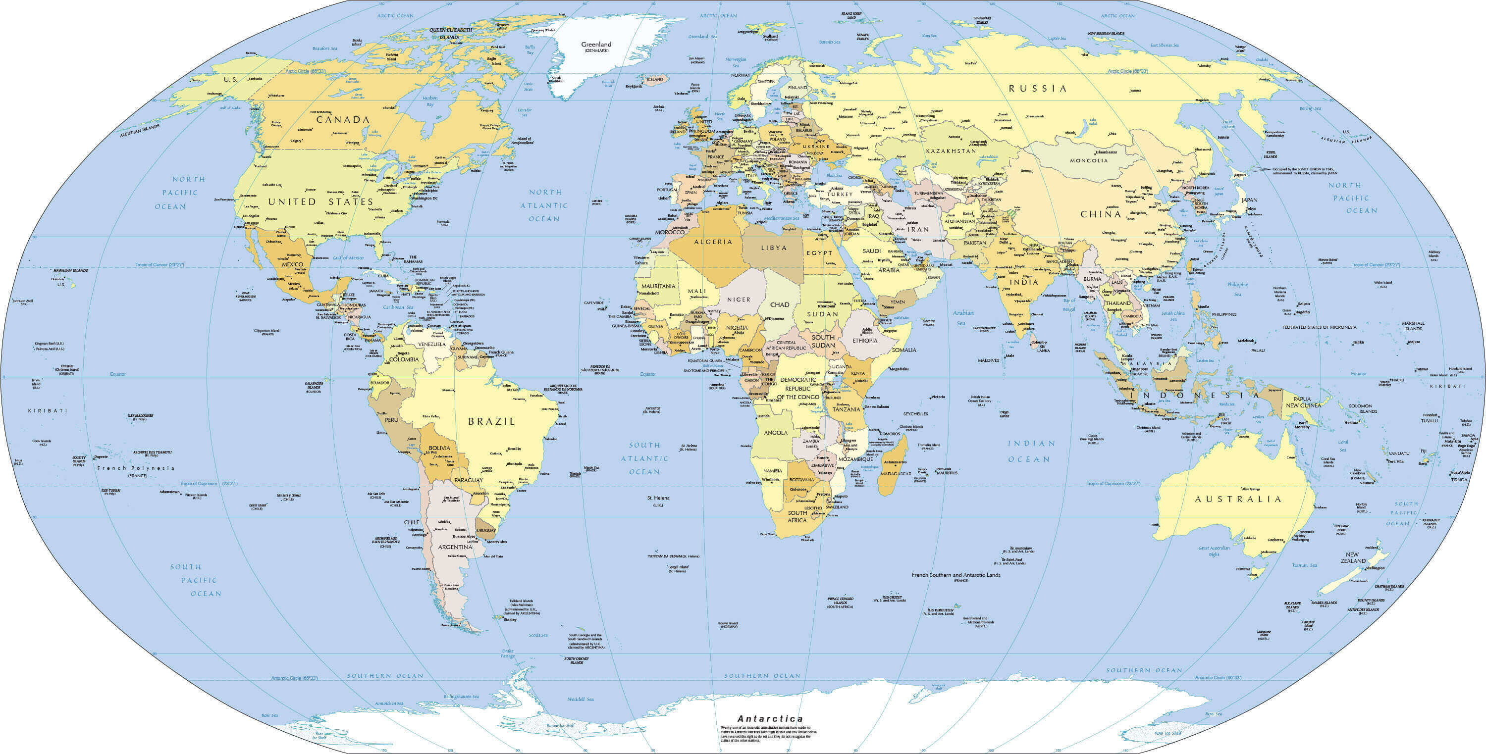
Printable standard time zones map of the World
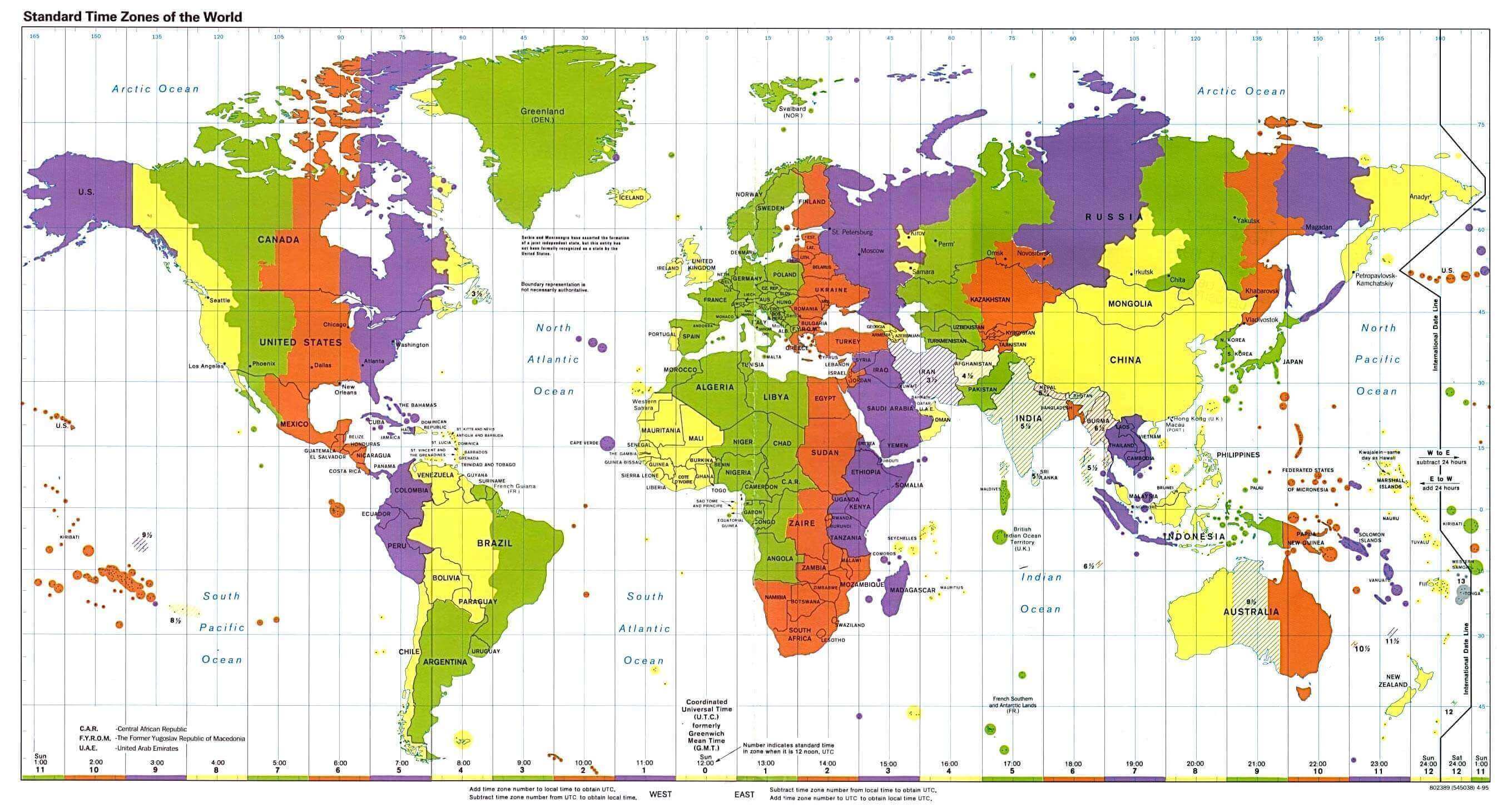
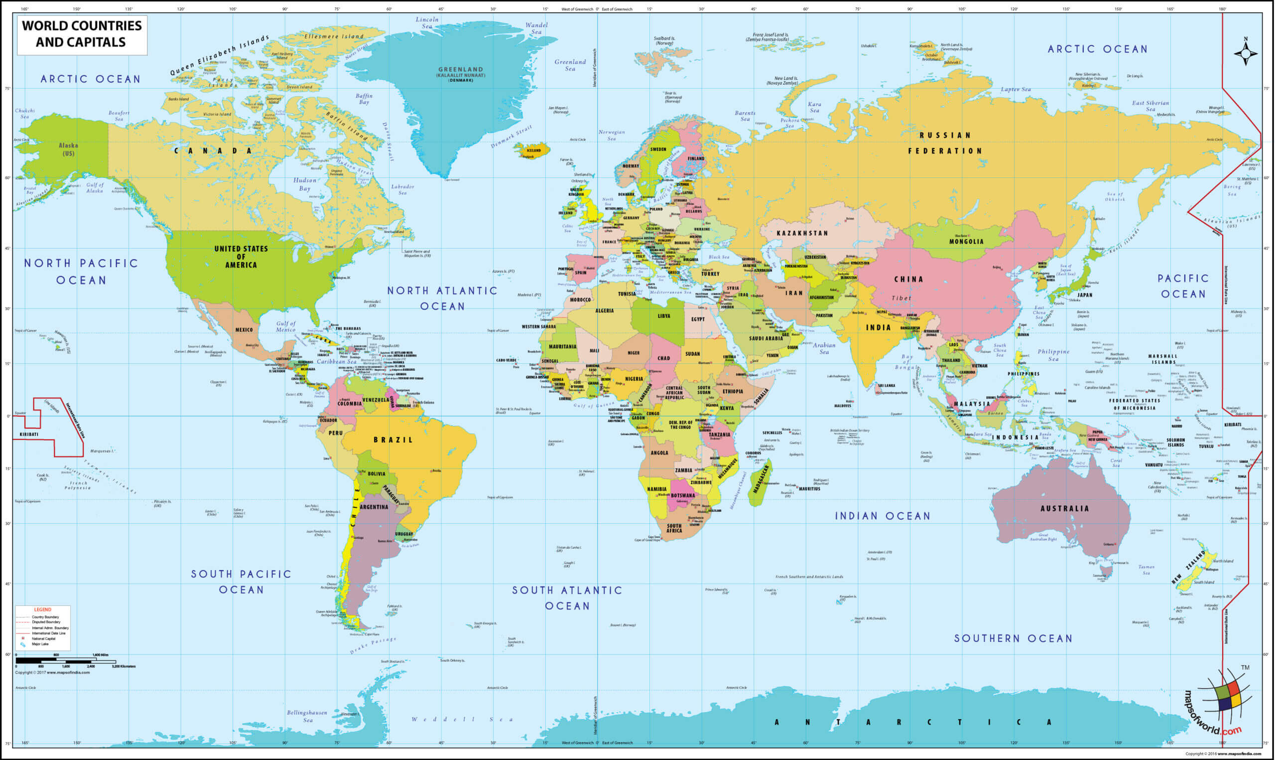
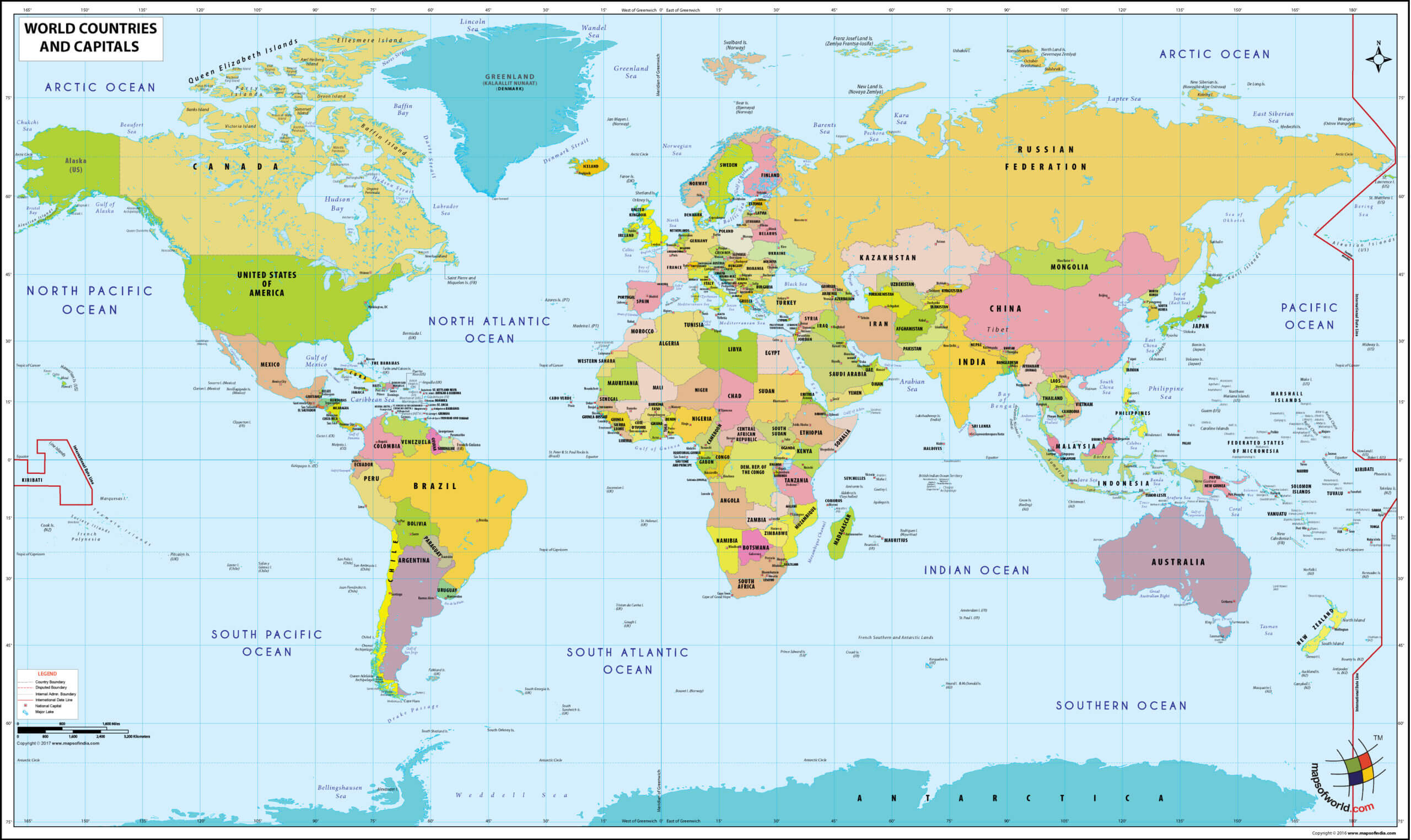
Printable World map with countries and capitals
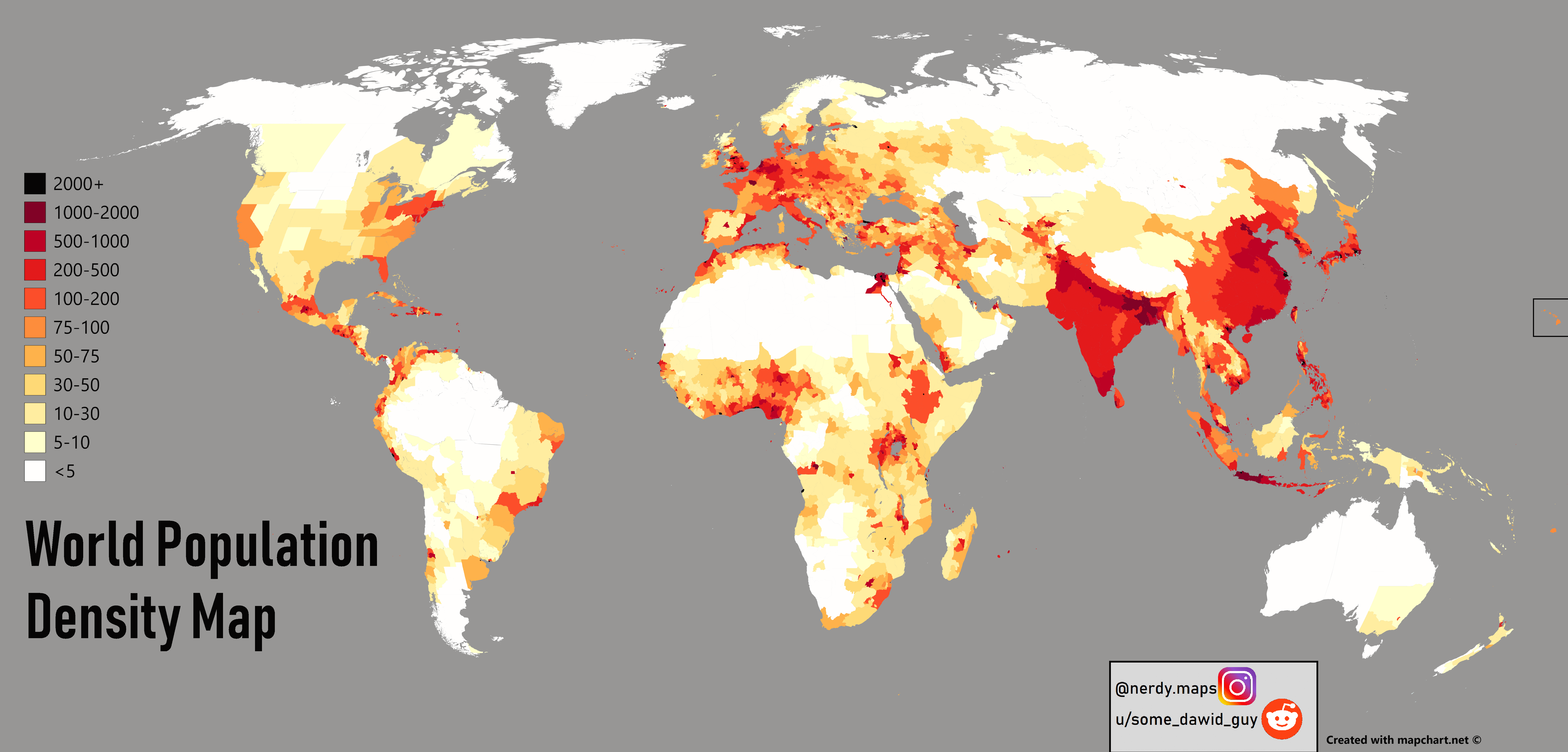
Printable World population density map
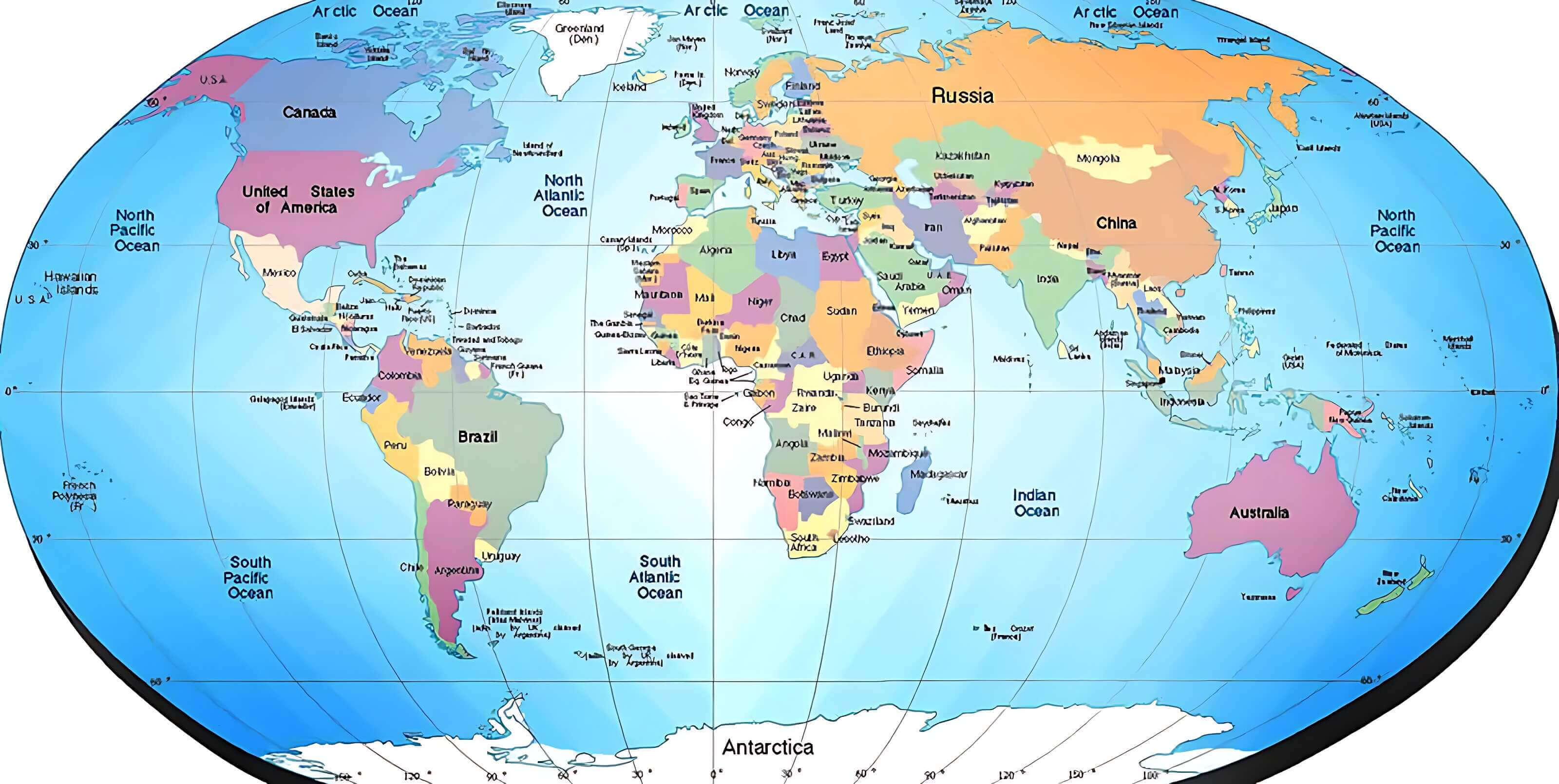
World countries printable map
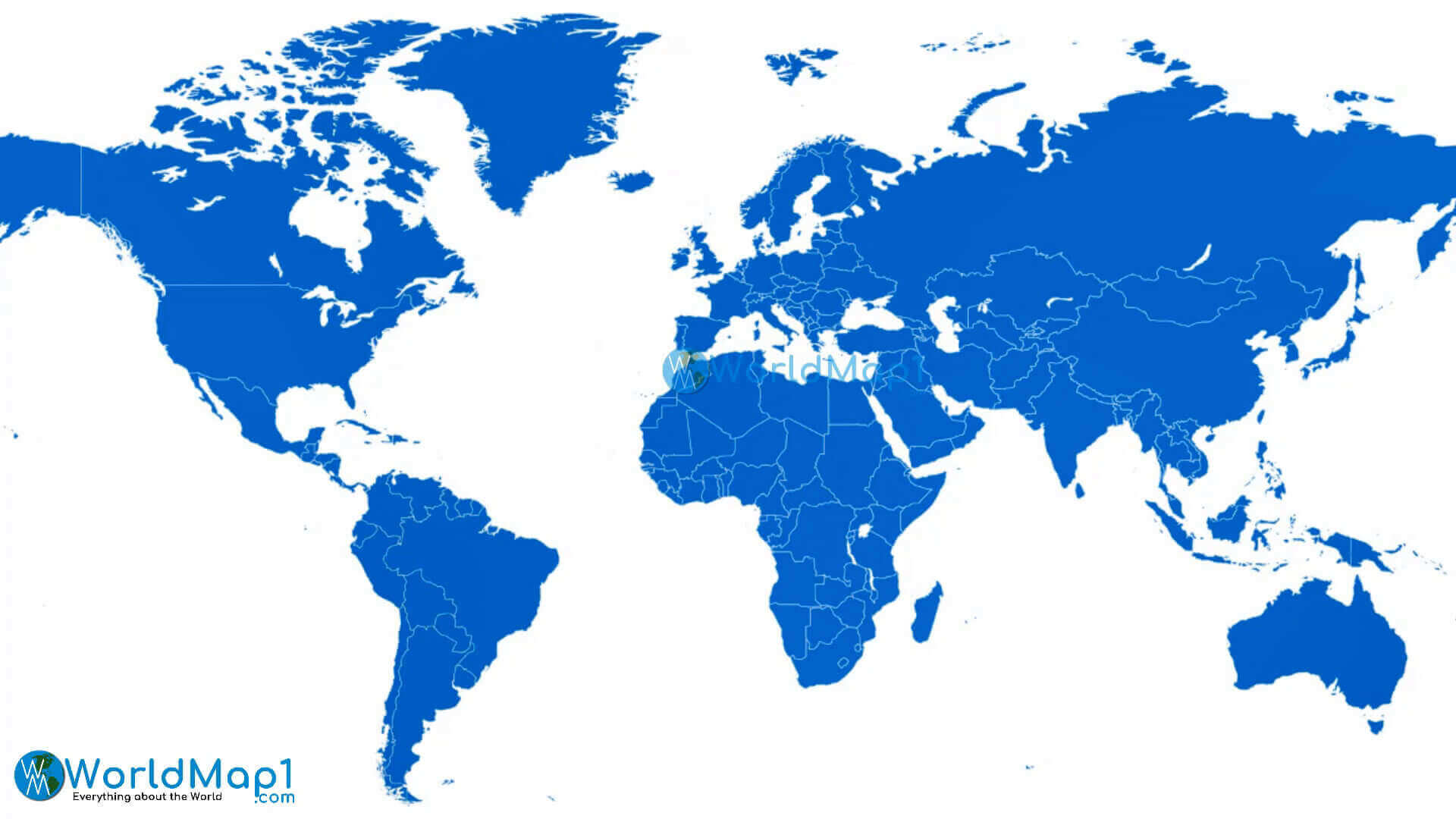
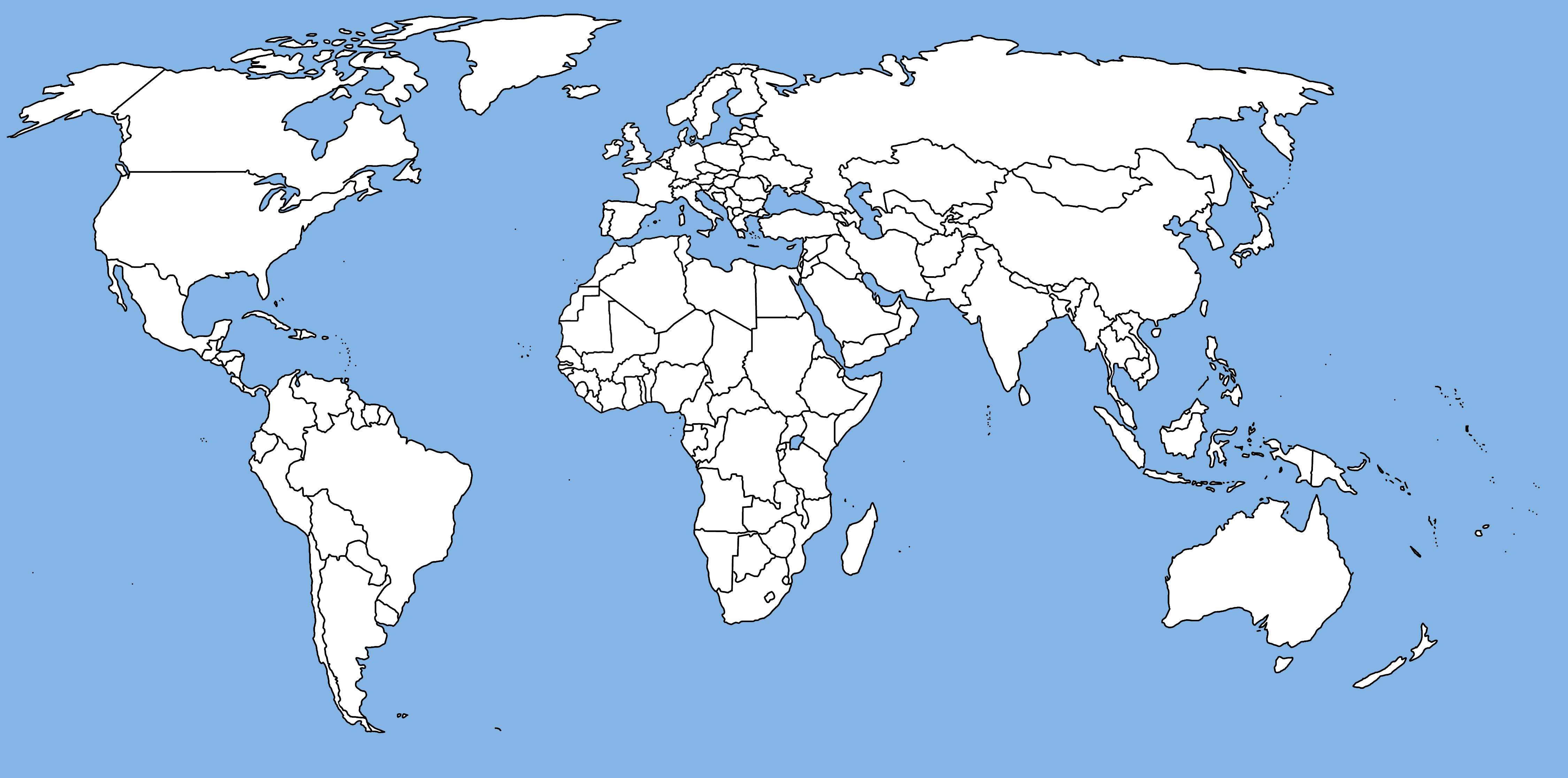
World printable blank map
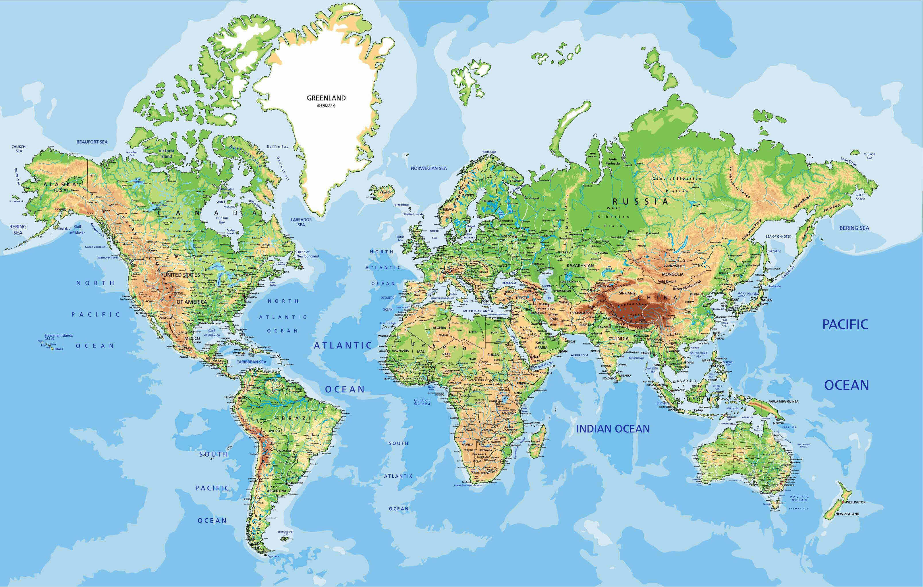
World printable cities physical map
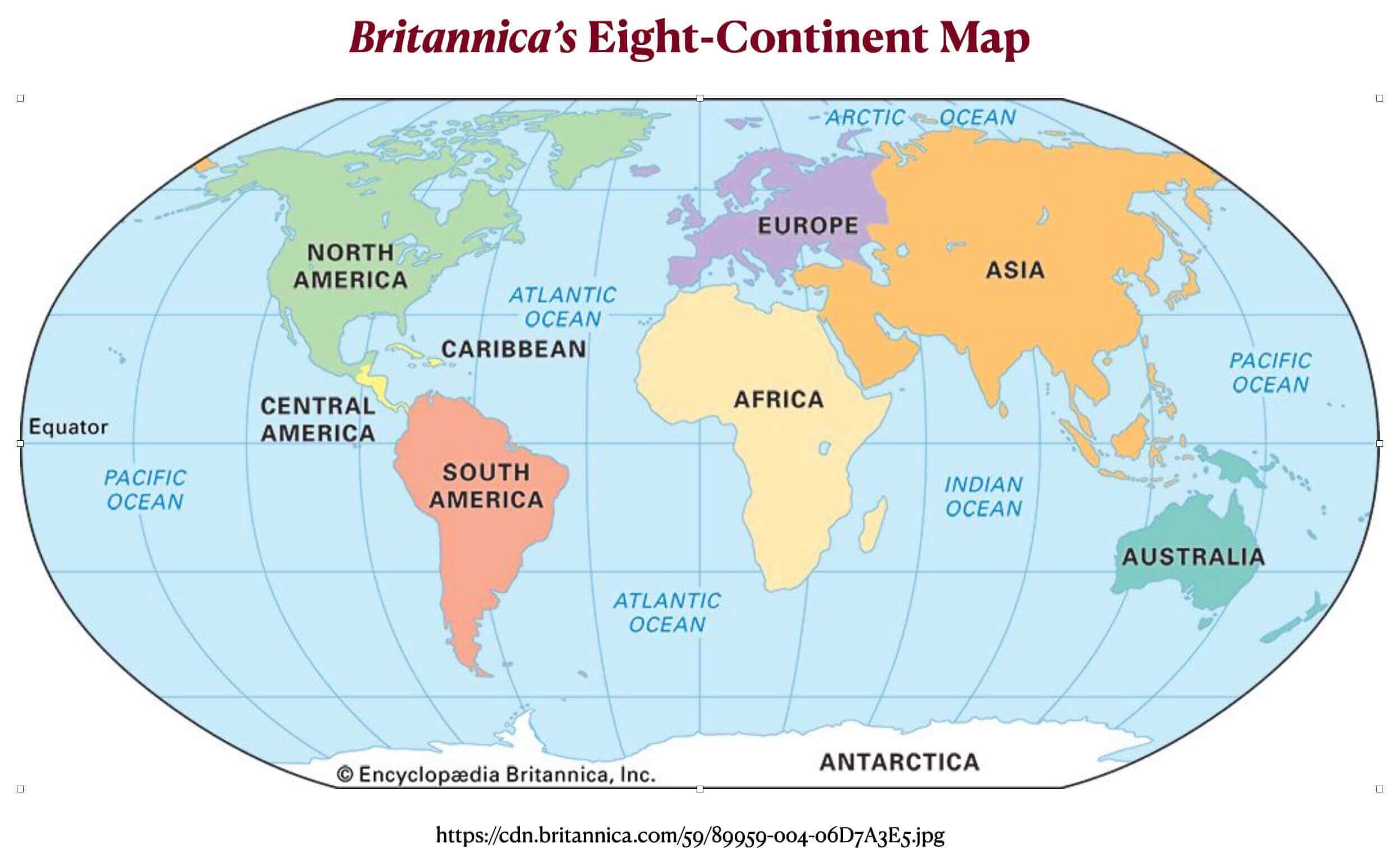
World printable continents map
World printable map with longitude and latitude
World printable maps with countries
World printable outlined country borders map
World printable physical map
World printable political map
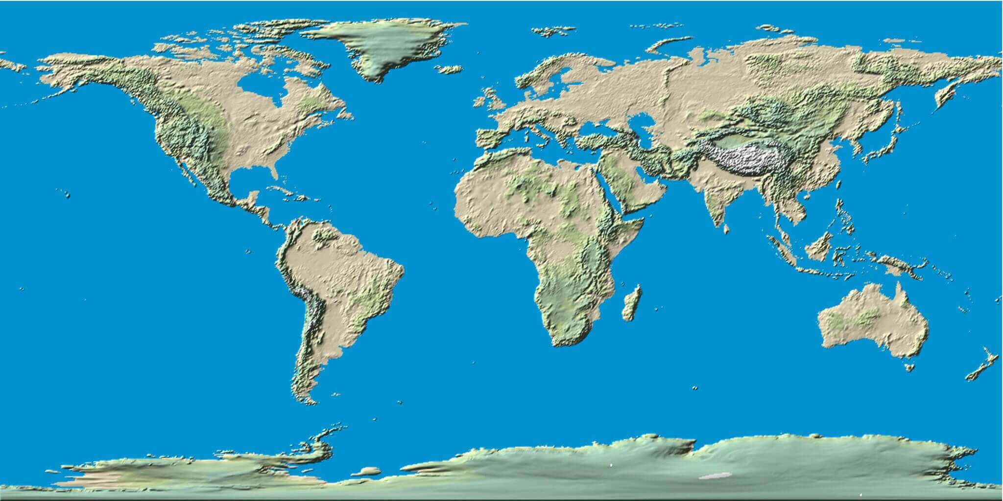
World printable terrain map
Where are countries located in the World?
Show Google Maps and satellite maps of where the country is located.
Get directions by driving, walking, bicycling, public transportation, and travel with street view.
Feel free to explore these pages as well:
- World Map ↗️
- World Maps ↗️
- Political Map of the World ↗️
- World Maps ↗️
- World Maps with Countries ↗️
- More World Maps ↗️
- Map of World Countries ↗️
- World Images and Maps ↗️
- World Map ↗️
- World Time Zone Map ↗️
- World Physical Map ↗️
- World Political Map ↗️
- World Continents Map ↗️
- World Blank Map ↗️
- Explore World Satellite Map ↗️
- World Countries Map ↗️
- Free World Map ↗️
- High-Resolution World Map ↗️
- Download World Map ↗️
- Large World Map ↗️
- World Population Map ↗️
- World Wallpaper Map ↗️
- A Collection of the World Maps ↗️
- High-resolution Political World Map ↗️
- World Cities Map ↗️
- World Geography Map ↗️
- World Detailed Map ↗️
- World Region Map ↗️
- Advertisement -
