- Advertisement -
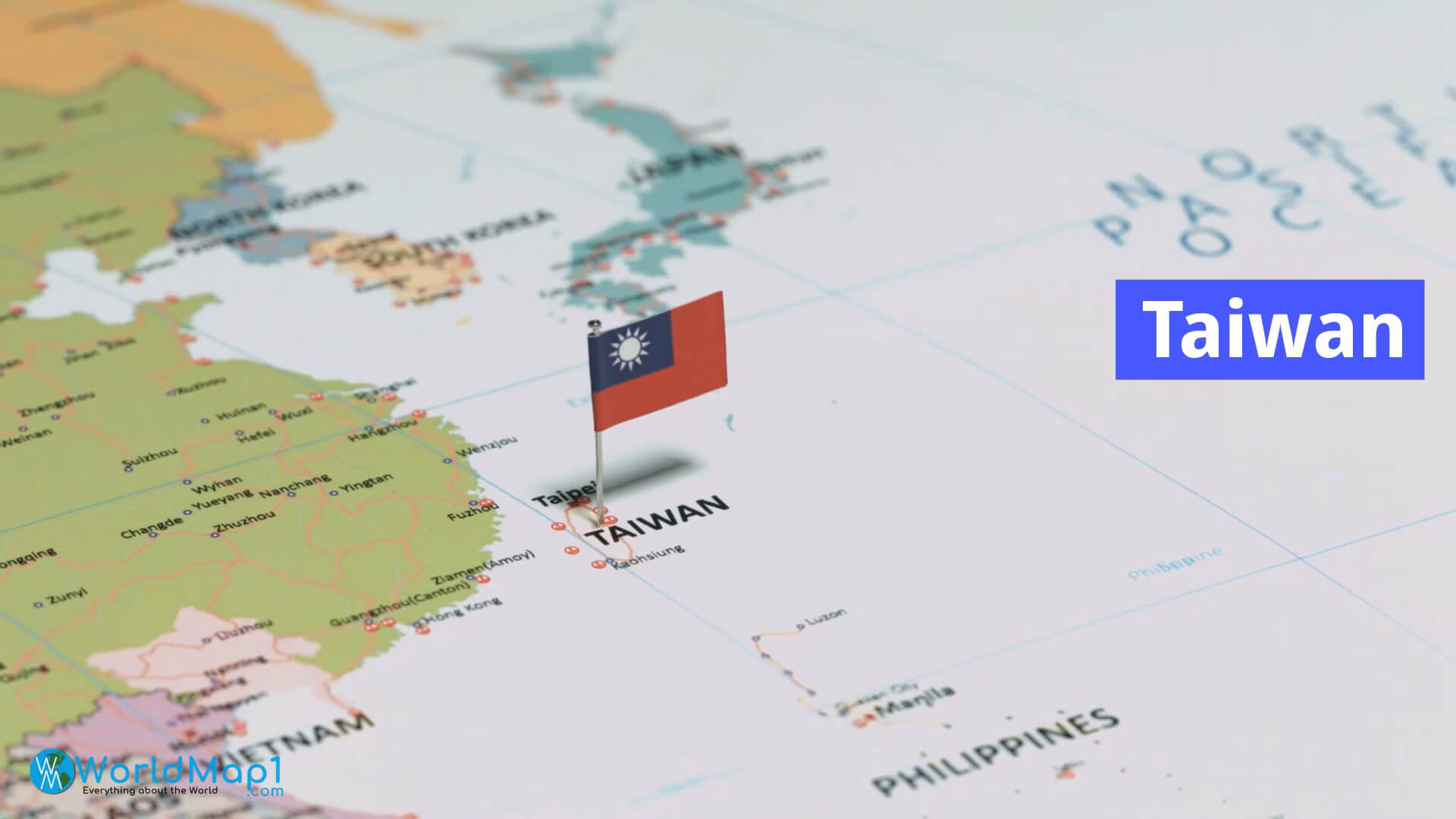
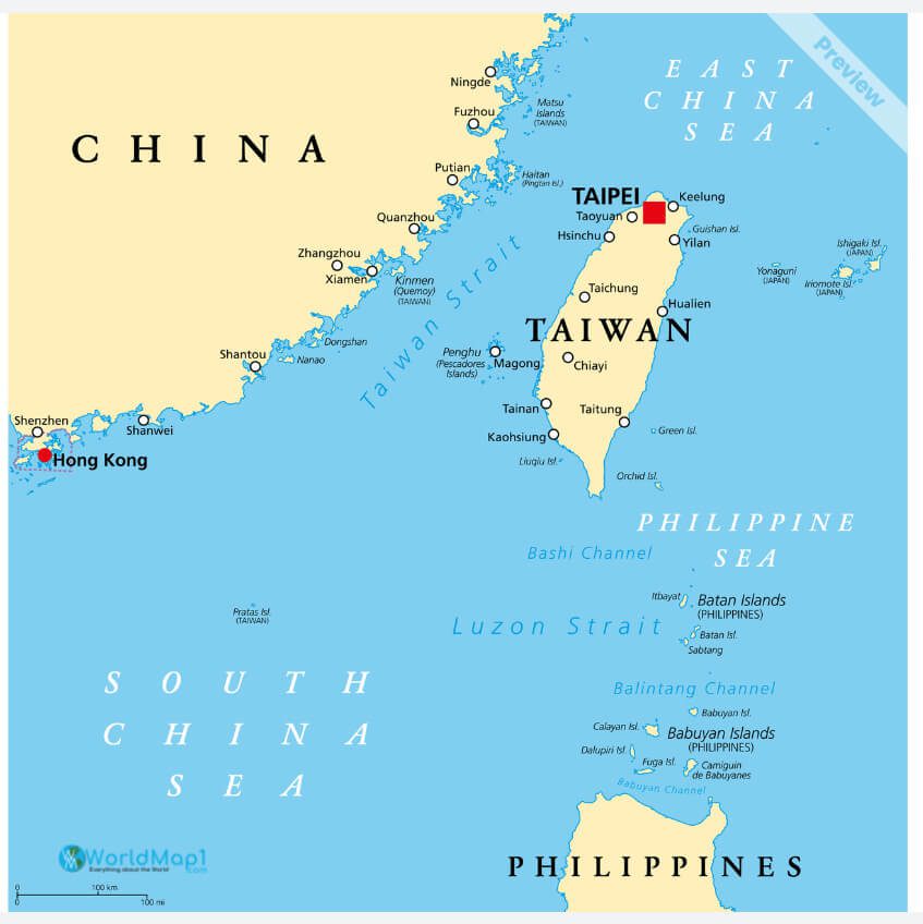
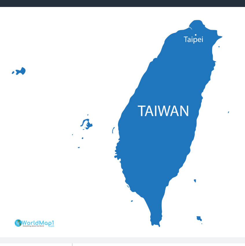
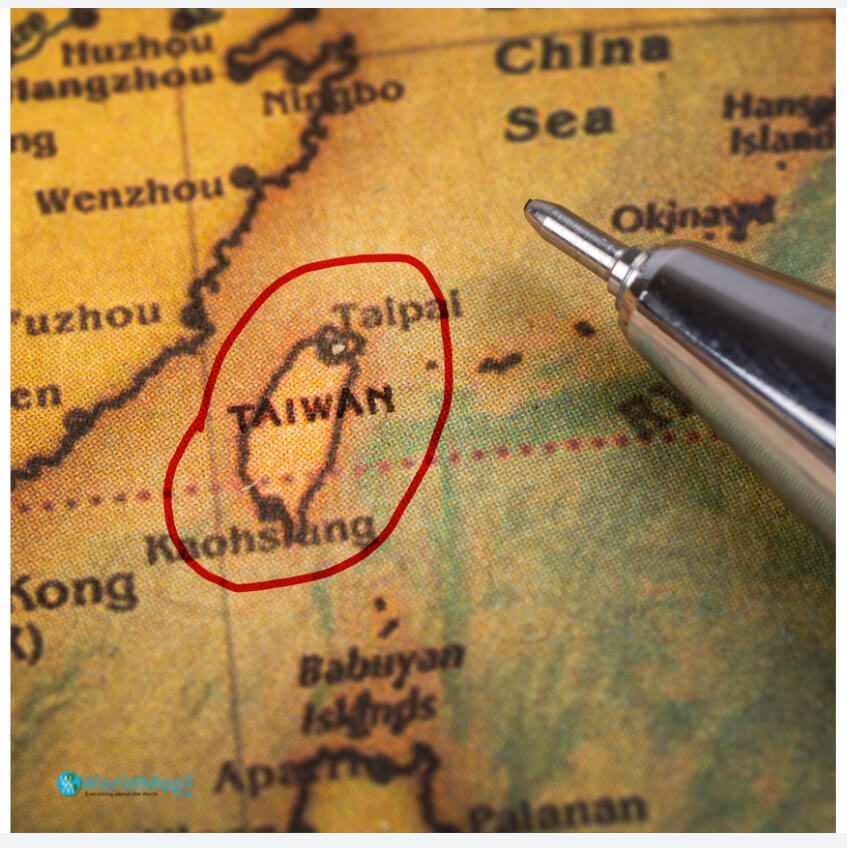
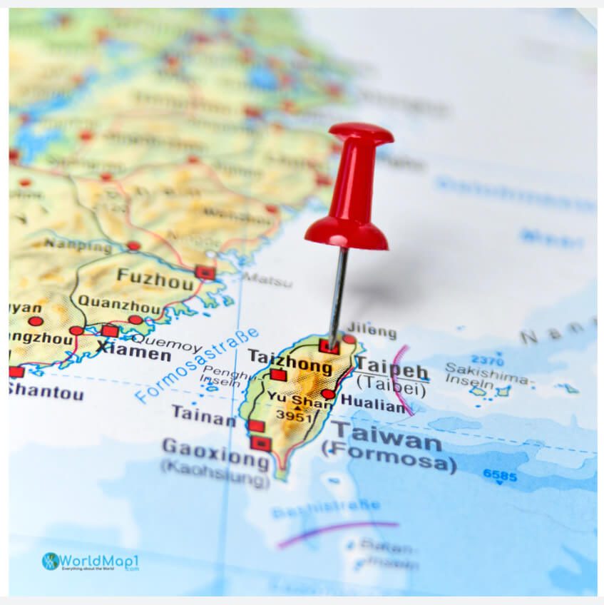
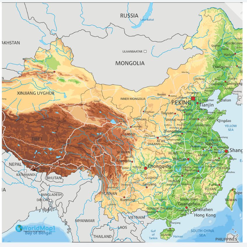
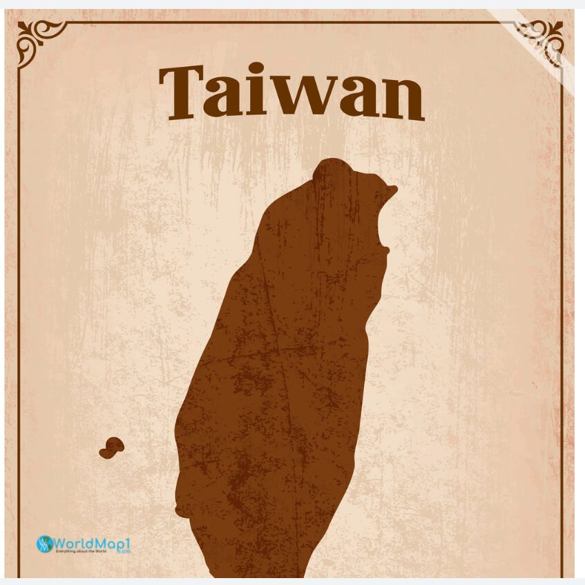
Taiwan is a small Island and is situeated in Southeast Asia. Taiwan lies between China and Japan, but it is currently not recognised as an official country in the World, as it is claimed by the Republic of China (ROC).
Watch Now Where is Taiwan in Asia, Is Taiwan US Ally?
Please subscribe on “World Guide” channnel on Youtube at youtube.com/c/WorldGuide
Is Taiwan is an independent country and US ally?
The United States is Taiwan’s closest ally and also Taiwan’s main arms supplier, granting it access to advanced technology.
South East Asia Capitals and Taiwan Taipei Map
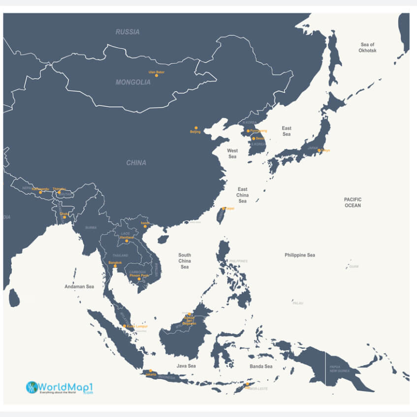
South East Asian Countries Map with Taiwan
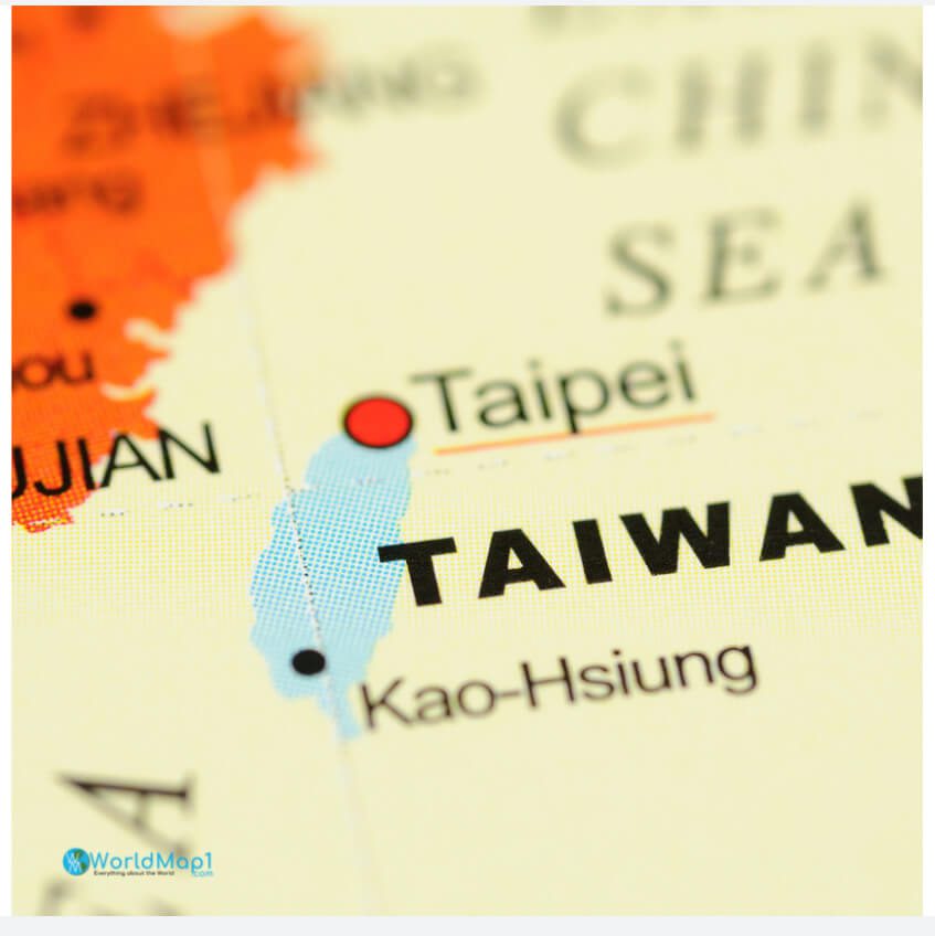
Taipei Kao-Hsiung Map in Taiwan
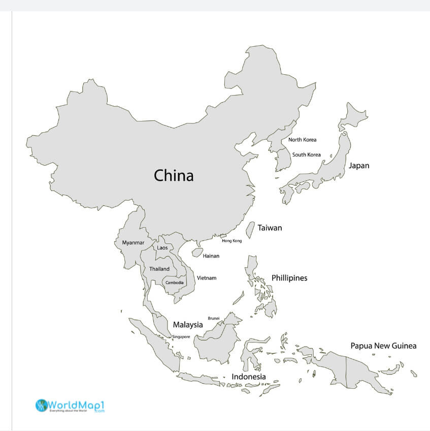
Taiwan and China Political Map
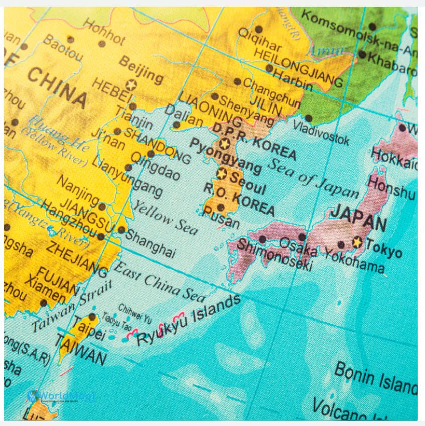
Taiwan and Far East Countries Map
Please view more Taiwan Maps
- Where is Taiwan in the World
- High Detailed Taiwan Map
- Taiwan Free Printable Map
- A Colection of Taiwan Maps
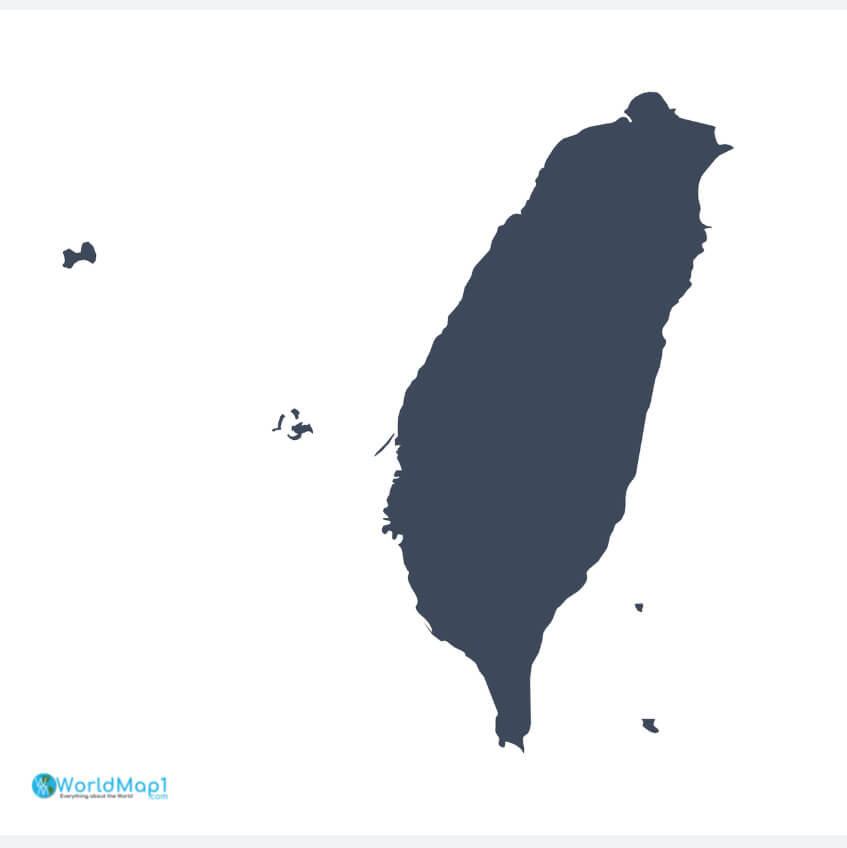
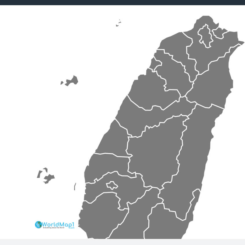
Taiwan Blank Map with Gray Color
Taiwan Blank Map
Taiwan Blue Blank Map
Taiwan Cartoon Map
Taiwan Cities Map
Taiwan Colorful Map
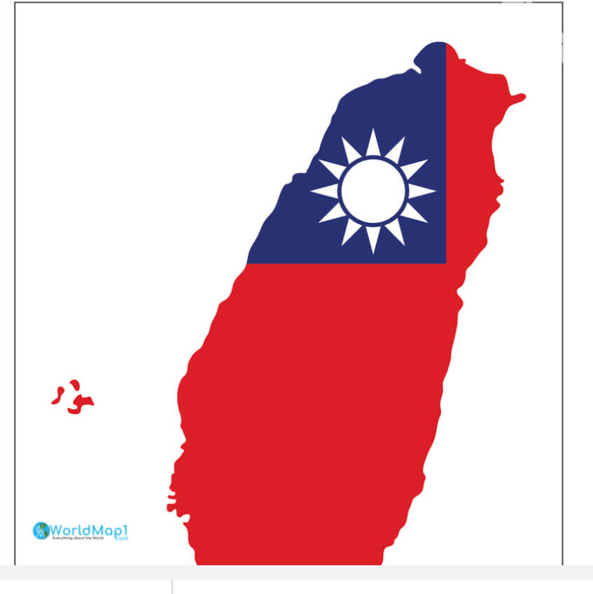
Taiwan Flagged Map
Taiwan Geographical Map
Taiwan Geography Map
Taiwan Gray Map
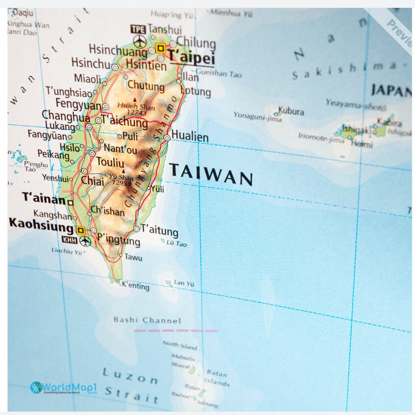
Taiwan High Detailed Maps
Taiwan High Resolution Map
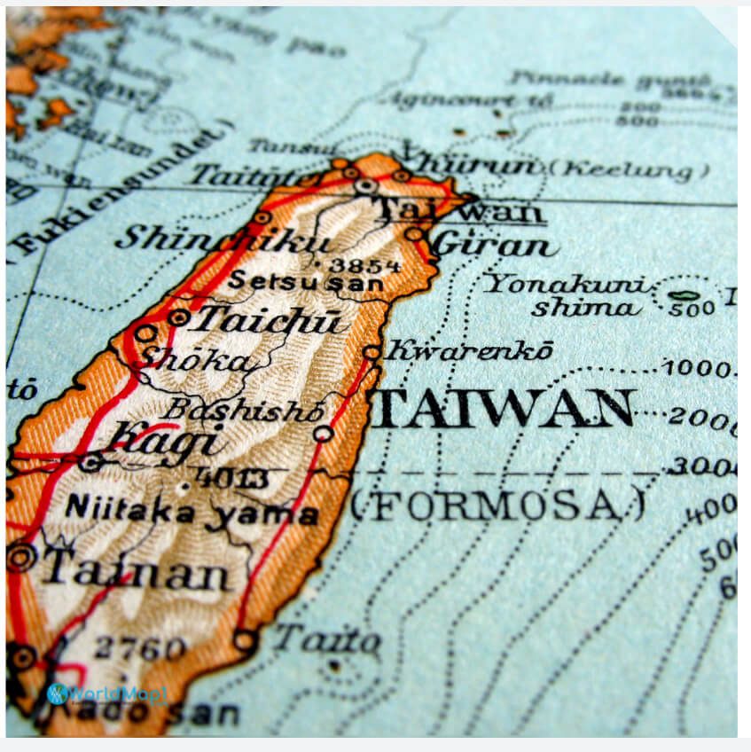
Taiwan Historical Blank Map
See Also


- Advertisement -