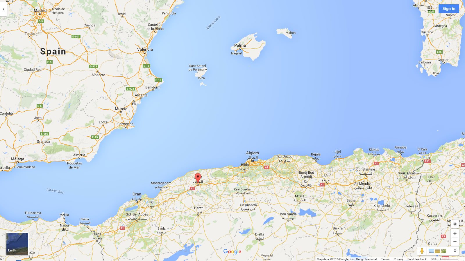
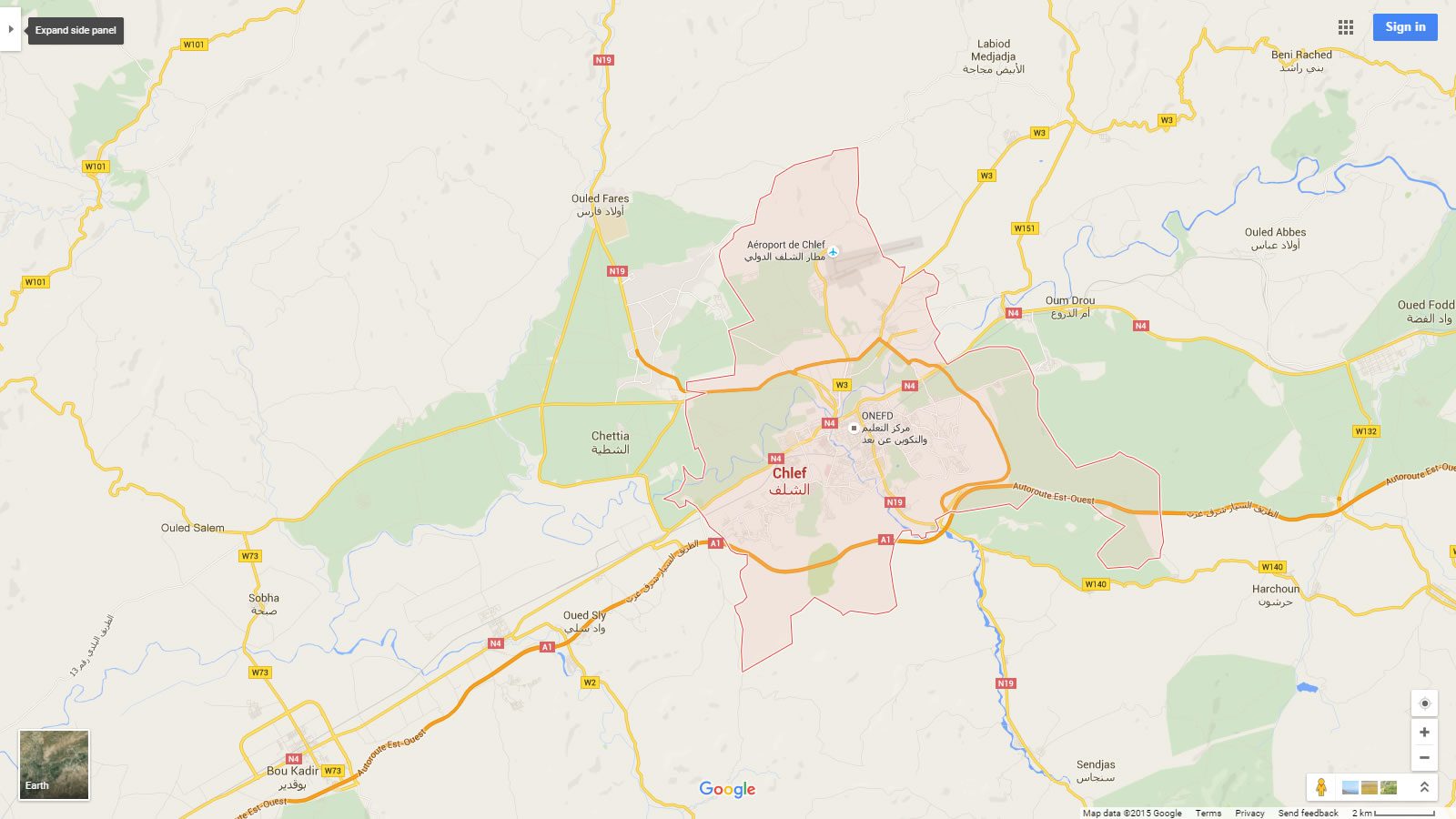
Chlef Map

- Advertisement -

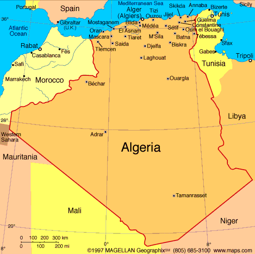
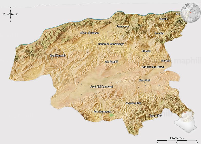
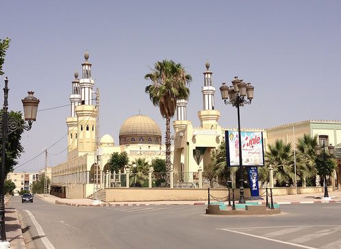
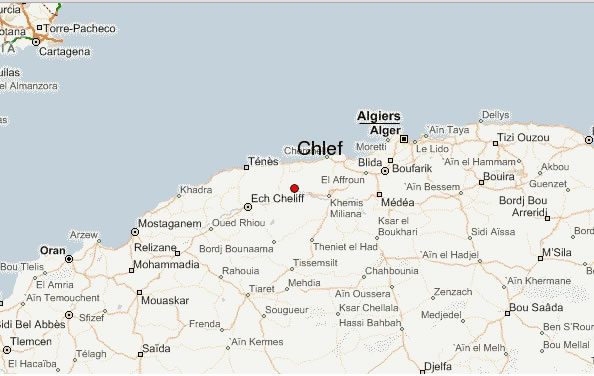
Where is Chlef, geography of Chlef, enlargeable topographic map of Chlef, including political maps, physical map, cities map, satellite images of Chlef, location, itinerary, atlas, border map, Algeria cities maps and find more travel maps.
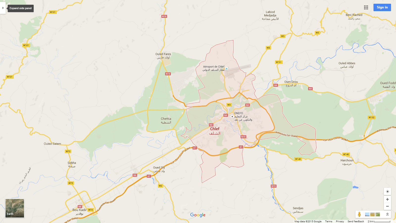
chlef map

For more Algeria Maps

Chlef Map

Chlef Map

Chlef Algeria Physical Map

chlef algeria physical map

Chlef Algeria

chlef algeria

Chlef Cities Map Algeria

Chlef Cities Map Algeria

Chlef city map Algeria
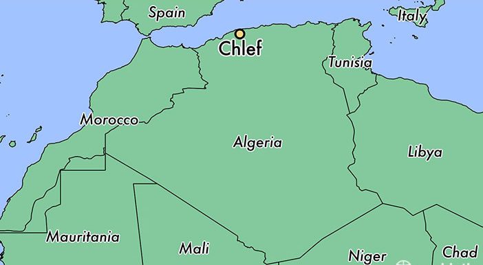
chlef city map algeria

Chlef Map Algeria

chlef map algeria

Chlef Map

chlef map

Cities Map of Algeria

- Advertisement -
Previous article
Next article

Discover

Sponsor

Latest Posts

Netherlands

Netherlands has a population of 16,751,323 people, Netherlands's largest city Amsterdam is the capital of Netherlands. Netherlands's personel income per capita $50,355, jobless rate 0.75%...

France Political Map

Political maps of France provide a comprehensive overview of the country's regions, cantons, cities, roads, administrative divisions and population density. These maps also highlight...

Discovering The Natural State: A Journey Through Arkansas

Nestled between the Mississippi River and the vast expanses of the Ozark Mountains, Arkansas emerges as a land where history, culture, and nature intertwine...

Wales Map

Explore Wales with detailed maps showing its location in the UK and Europe. Explore political, physical and geographical maps including cities, regions, satellite views,...

Map of Europe

Explore a diverse collection of maps of Europe, including physical, political, and relief maps. Dive into detailed satellite images, blank outlines, and topographical views...