- Advertisement -
South Korea has a population of 50,004,441 people, South Korea’s largest city Seoul is the capital of South Korea.
South Korea personel income per capita $23,020 (32nd), jobless rate 2.75% and its currency South Korean Won (KRW) . South Korea official languages and mostly spoken dialects are Korean. Ethnics Groups : 99% Koreans.
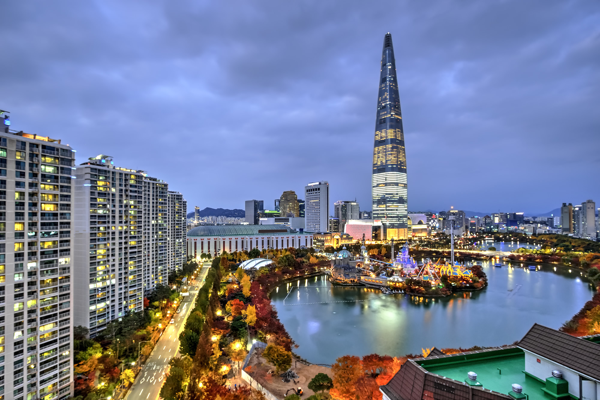
Seoul, South Korea
 The tallest building in Seoul, South Korea at the blue hour.
Sinheungsa Temple, South Korea

Buddha in the Sinheungsa Temple at Seoraksan National Park, South Korea.
Expo Bridge in Daejeon, South Korea

Expo Bridge in Daejeon, South Korea.
Gyeongbokgung Palace, South Korea

Gyeongbokgung palace in spring, South Korea.
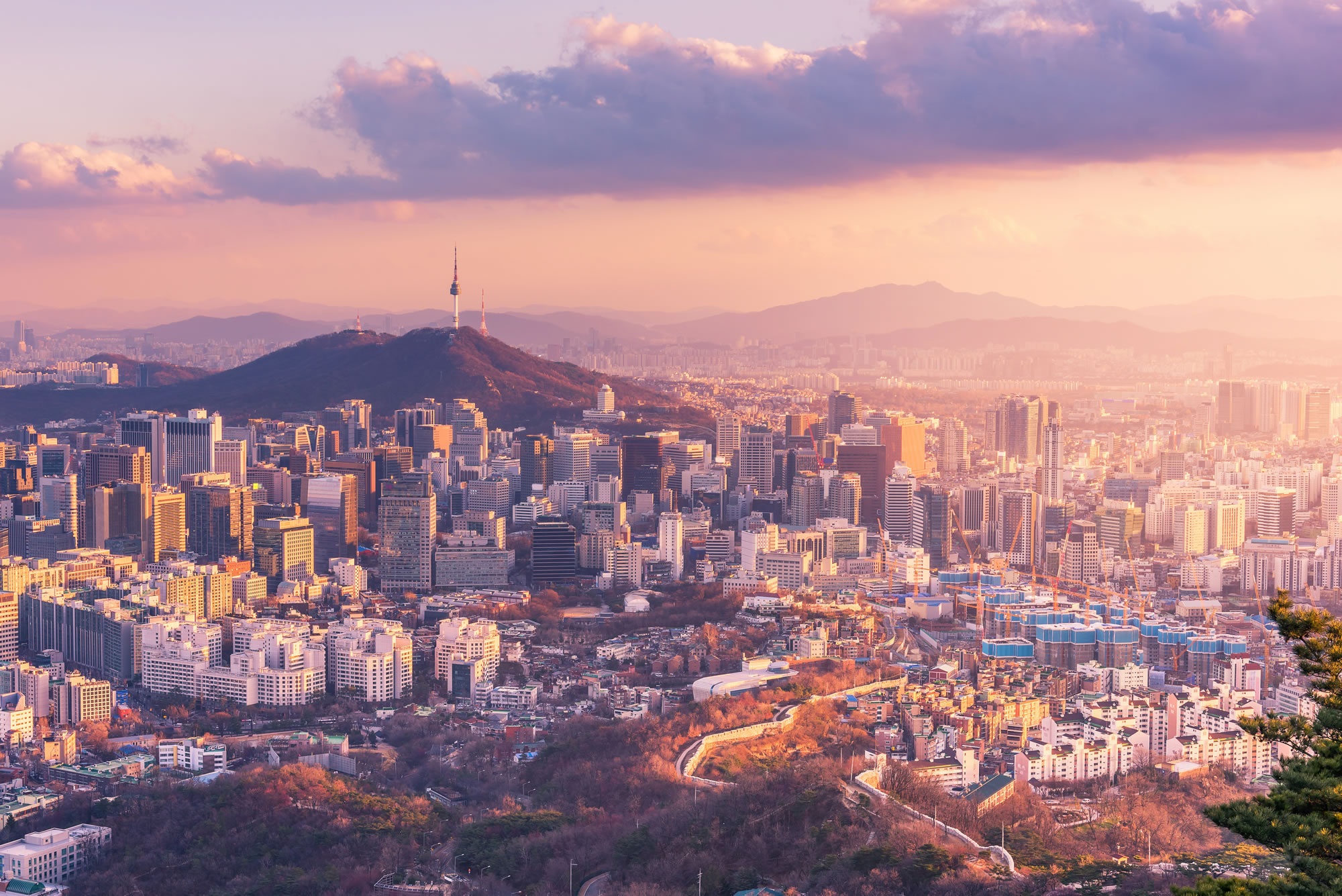
Seoul Skylines, South Korea

Seoul City Skyline, The best view of South Korea
Haedong Yonggungsa Temple in Busan

Haedong Yonggungsa Temple in Busan, South Korea
Where is South Korea on the Asia Map?
Show Google Interactive Maps and satellite maps of where the country is located.
Get directions by driving, walking, bicycling, public transportation and travel with street view.
Feel free to explore these pages as well:
- South Korea Map ↗️
- South Korea ↗️
- A Traveler’s Guide to Seoul: Top 10 Must-Visit Spots ↗️
- North Korea Map ↗️
- Map of North Korea ↗️
- North Korea ↗️
- Learn More About Taiwan and Facts ↗️
- Where is Taiwan and Highly Detailed Taiwan Maps ↗️
- China Map ↗️
- Map of China ↗️
- Advertisement -
