- Advertisement -
Explore blank United States maps with borders, states, rivers, regions, and time zones, including Alaska, Hawaii, and high-resolution North America views.
UnitedBlank Map of the United States with State Borders
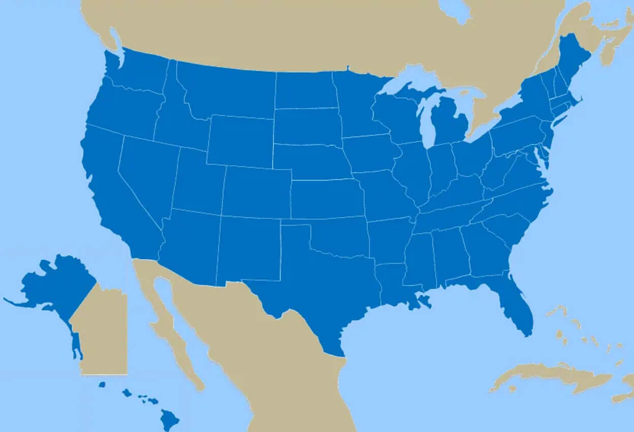
Blank United States map borders
Blank United States map mainland with no states
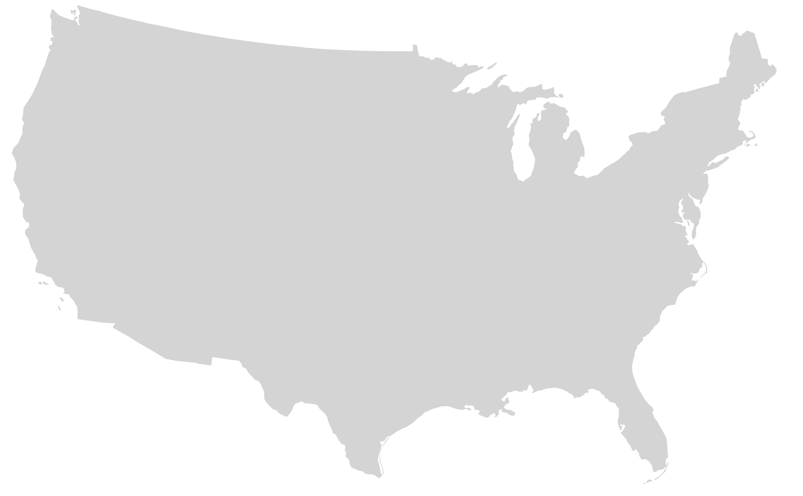
Green United States of America blank map with states border outline
High resolution United States and canada blank physical map
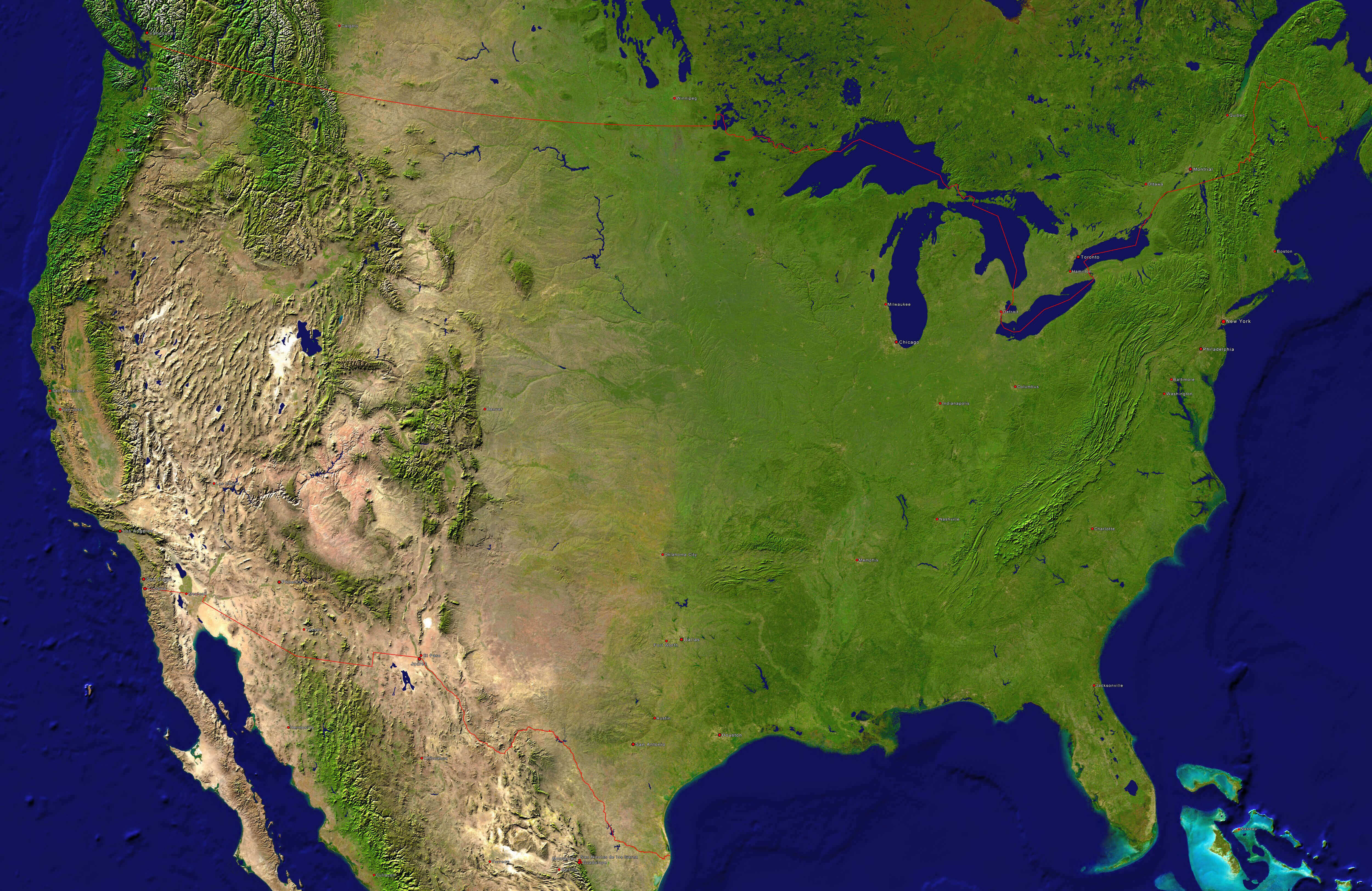
New York time zones with United States blank map
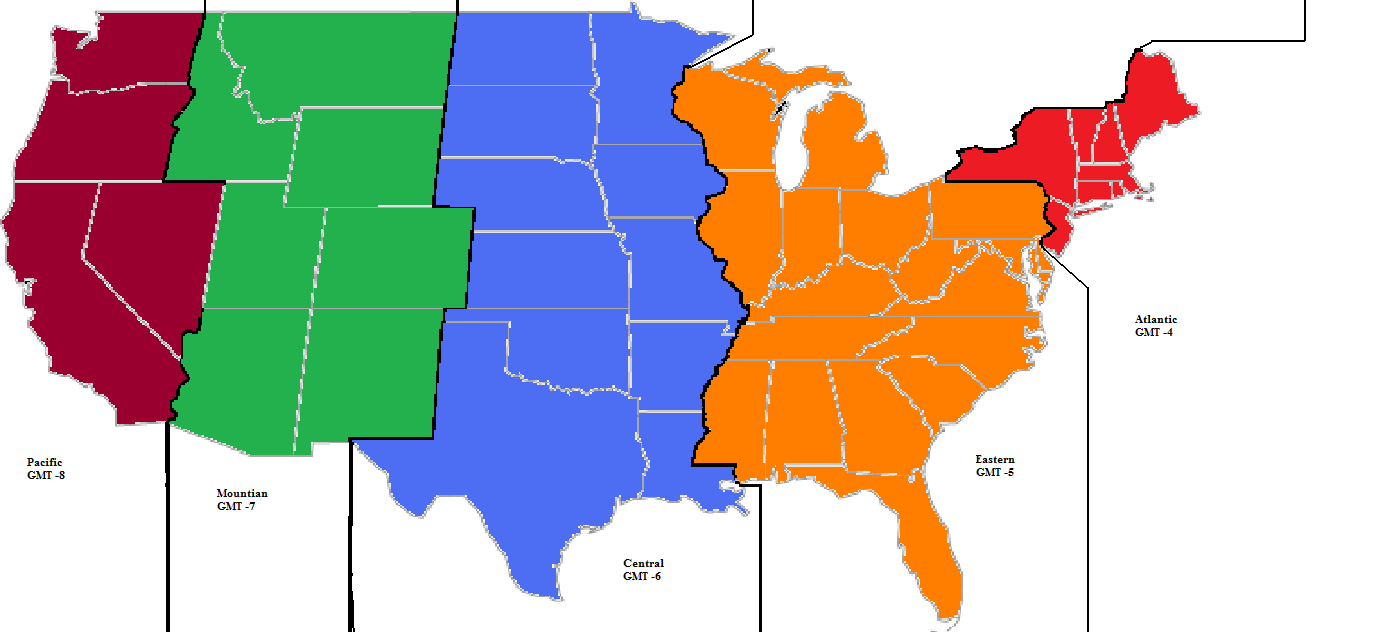
The United States blank map of major rivers
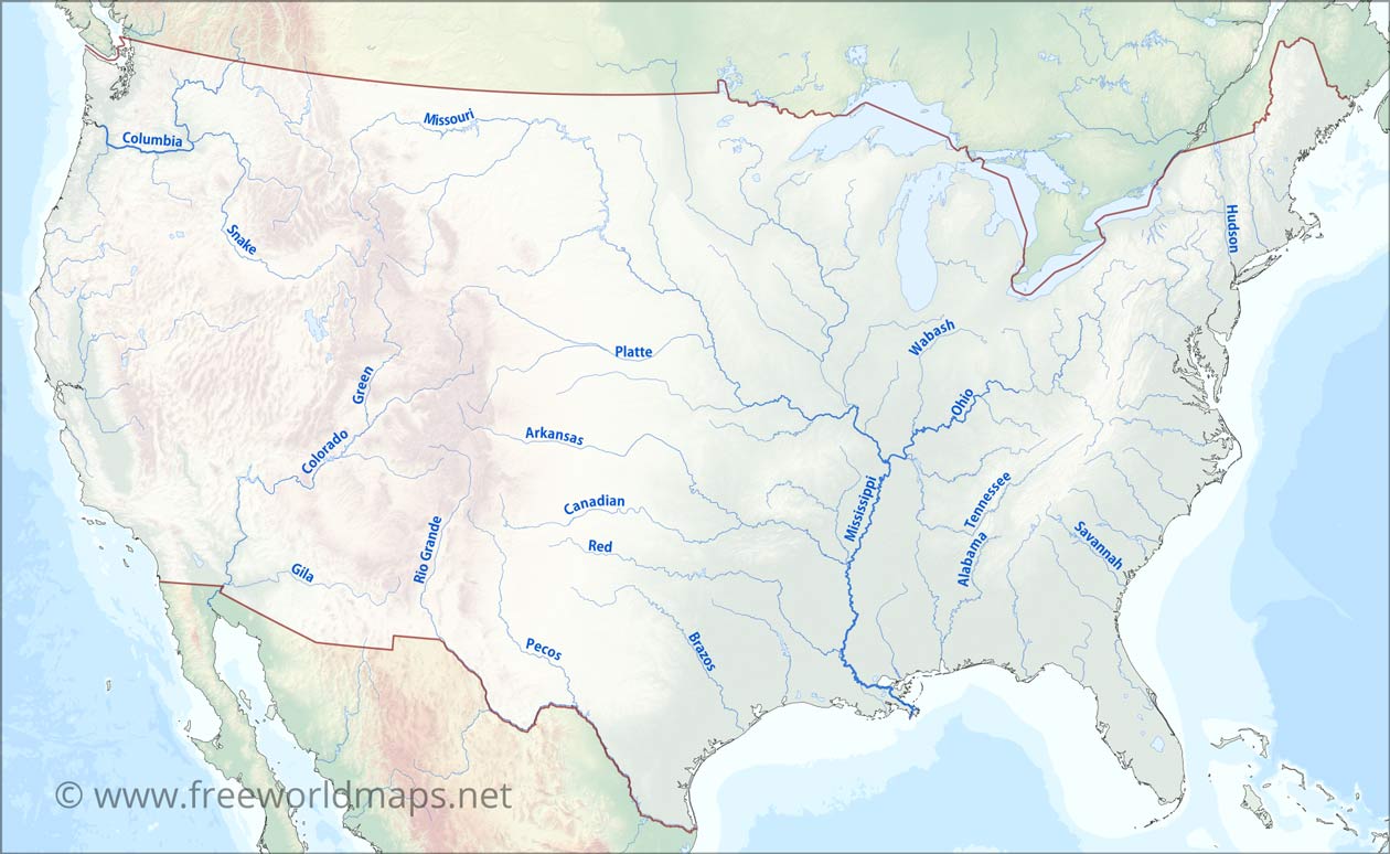
The United States of America map with states color blank
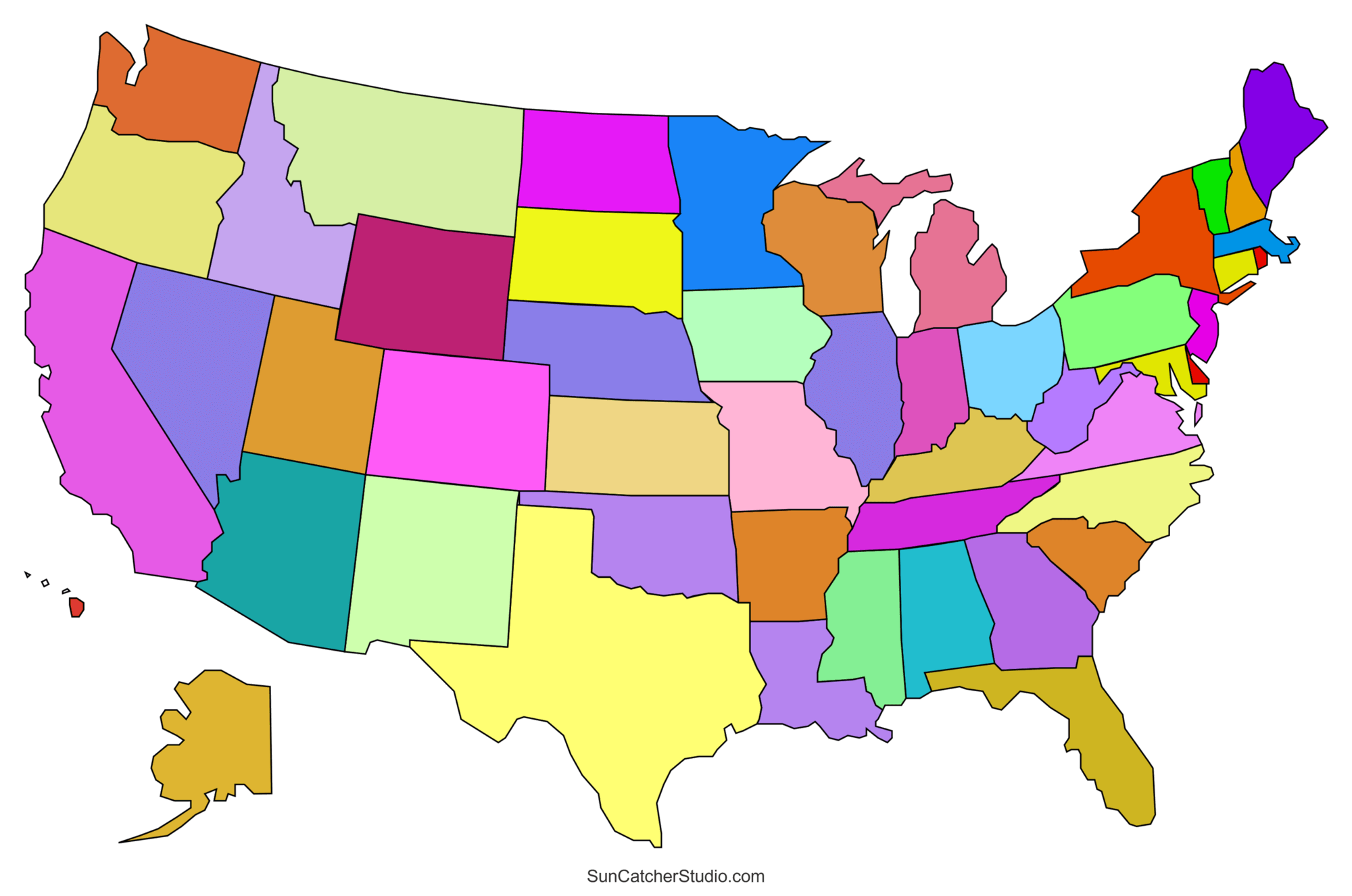
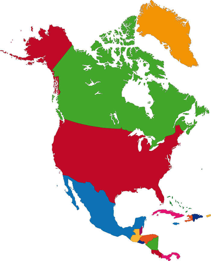
United States and North America countries blank map
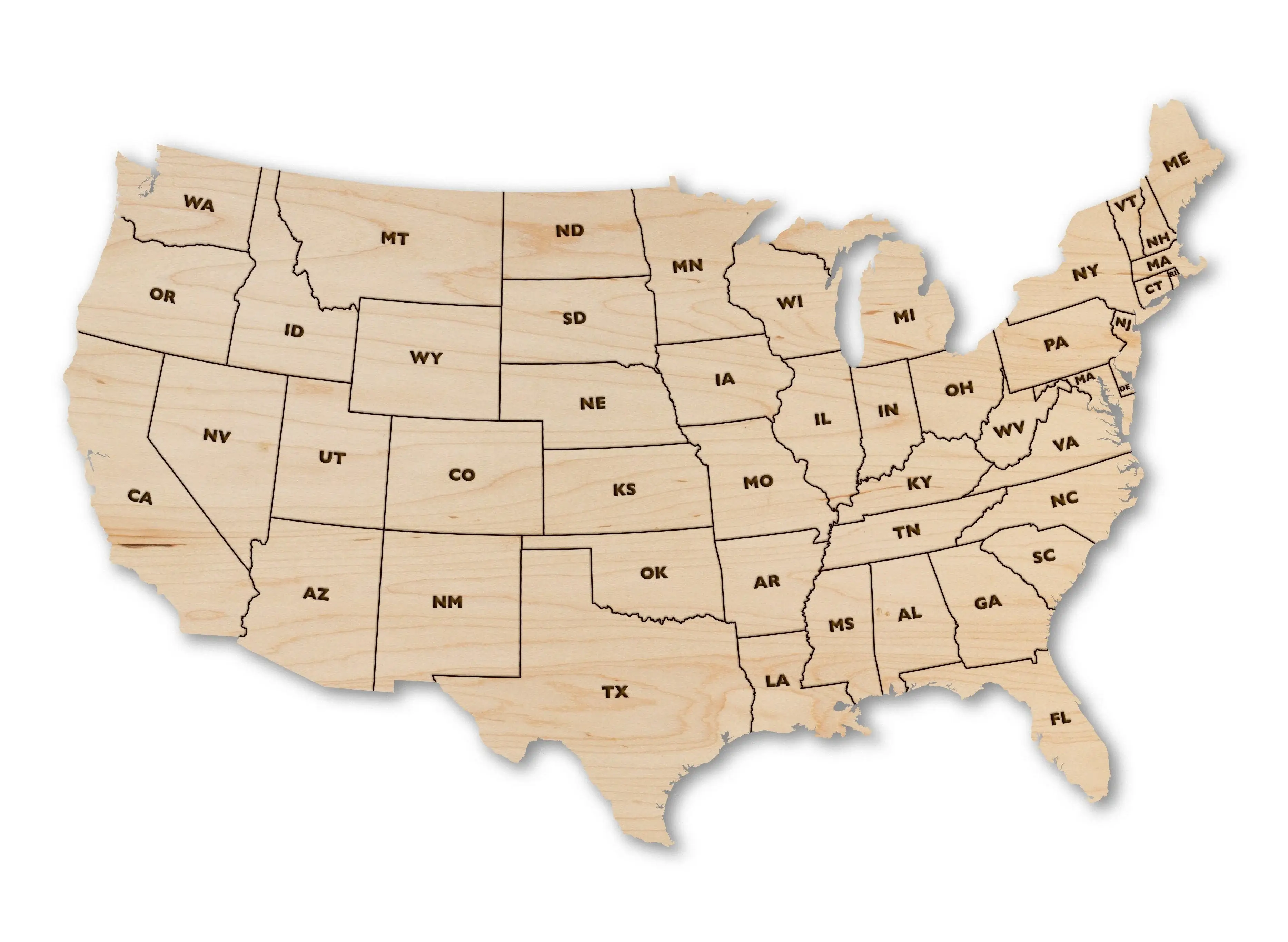
United States bkank map with state abbreviations
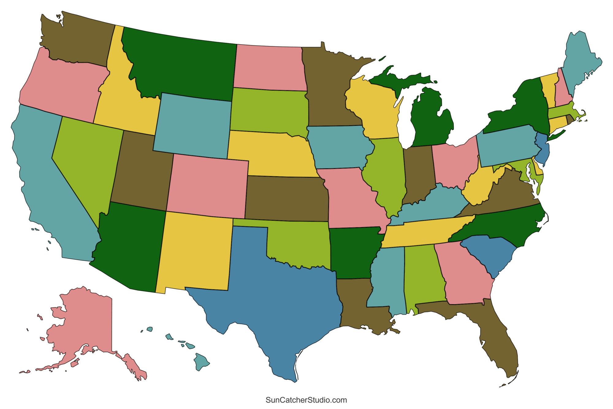
United States blank map color borders
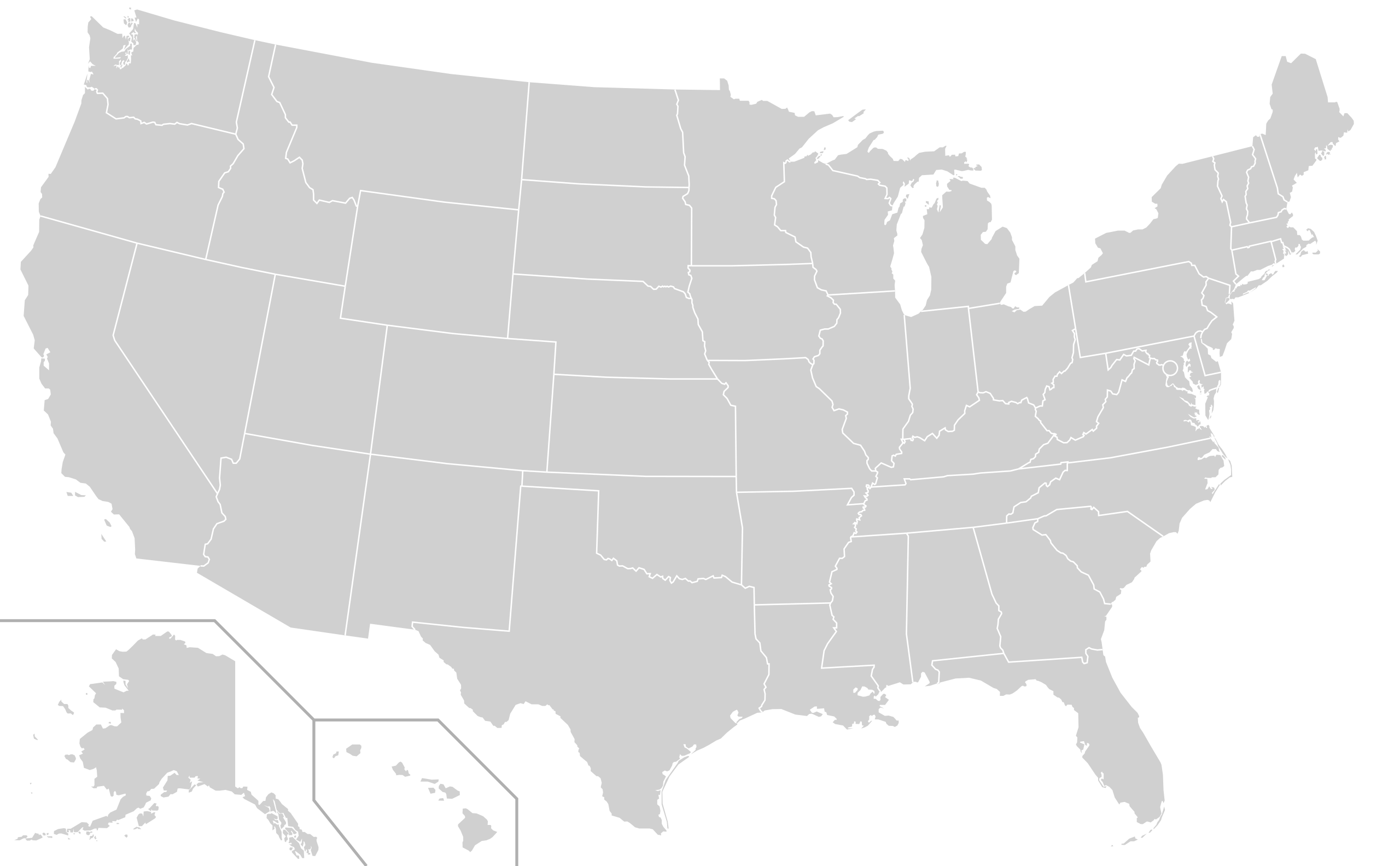
United States blank map with Alaska and Hawaii
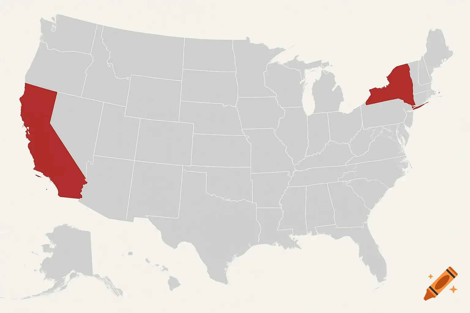
United States blank map with California and New York
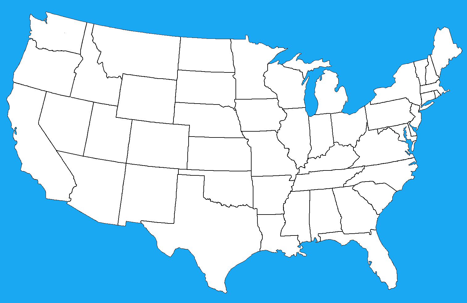
United States blank map with states outlined
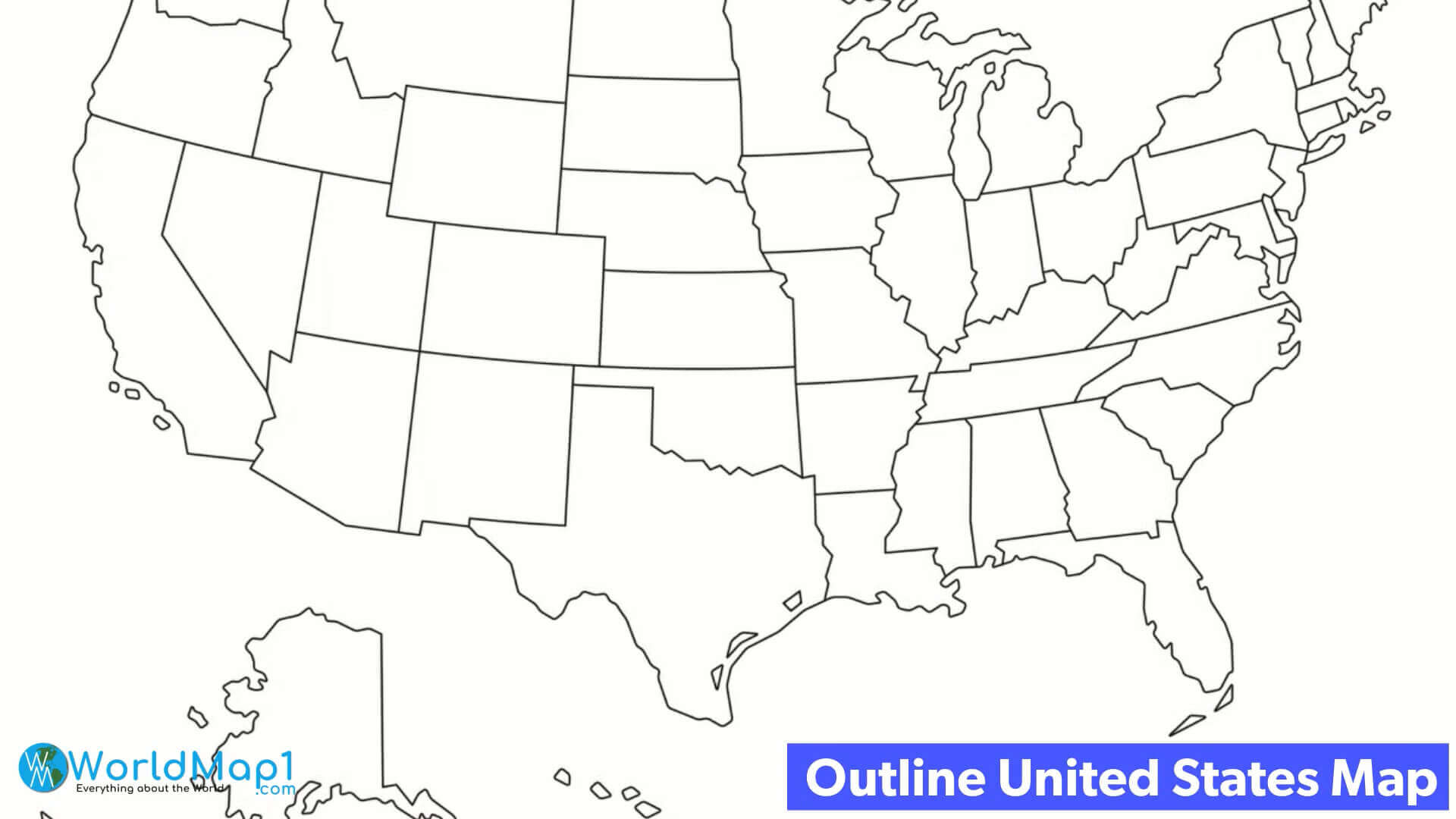
United States blank outline map
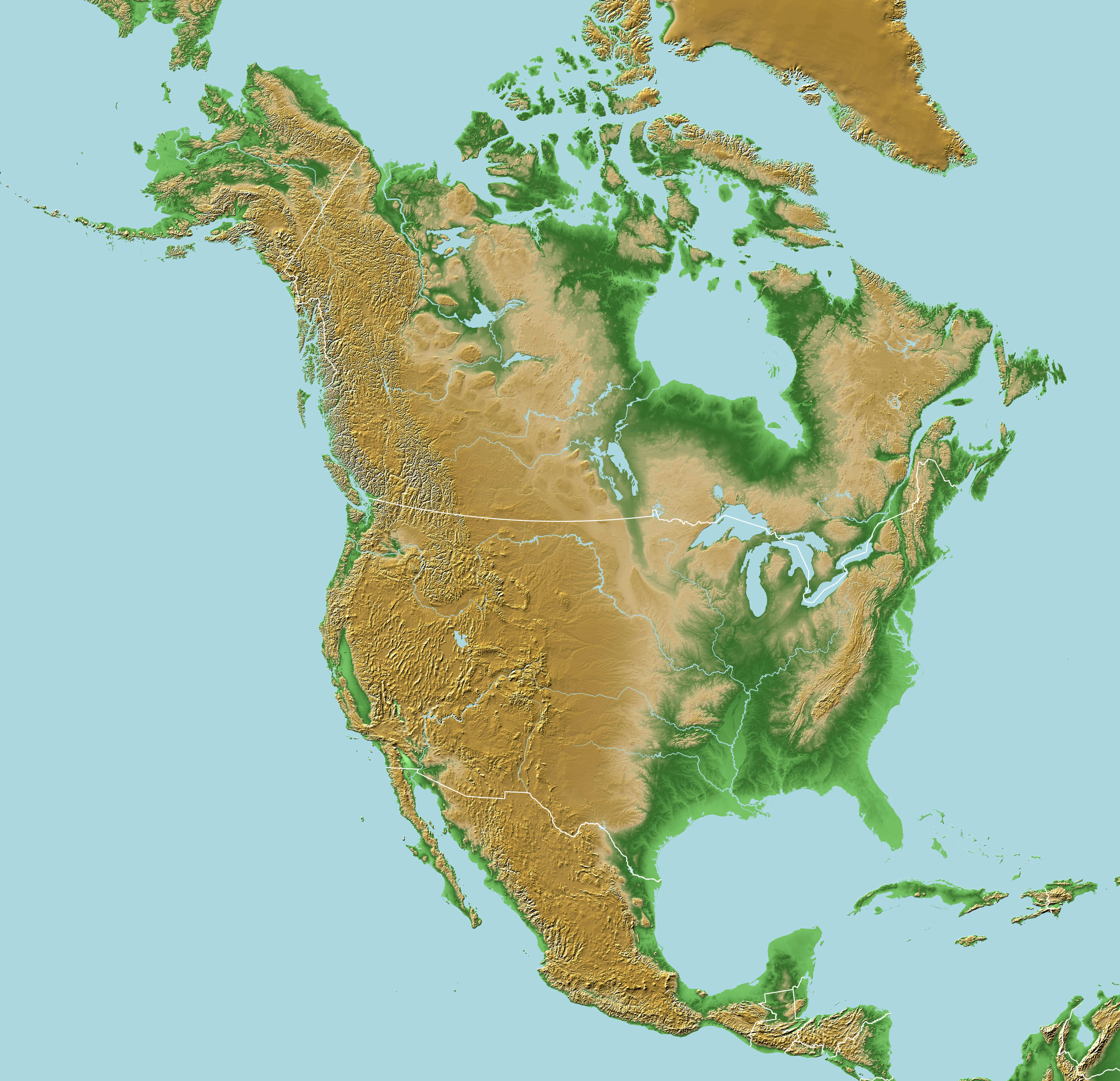
United States blank physical map with North America
United States blank regions map by states
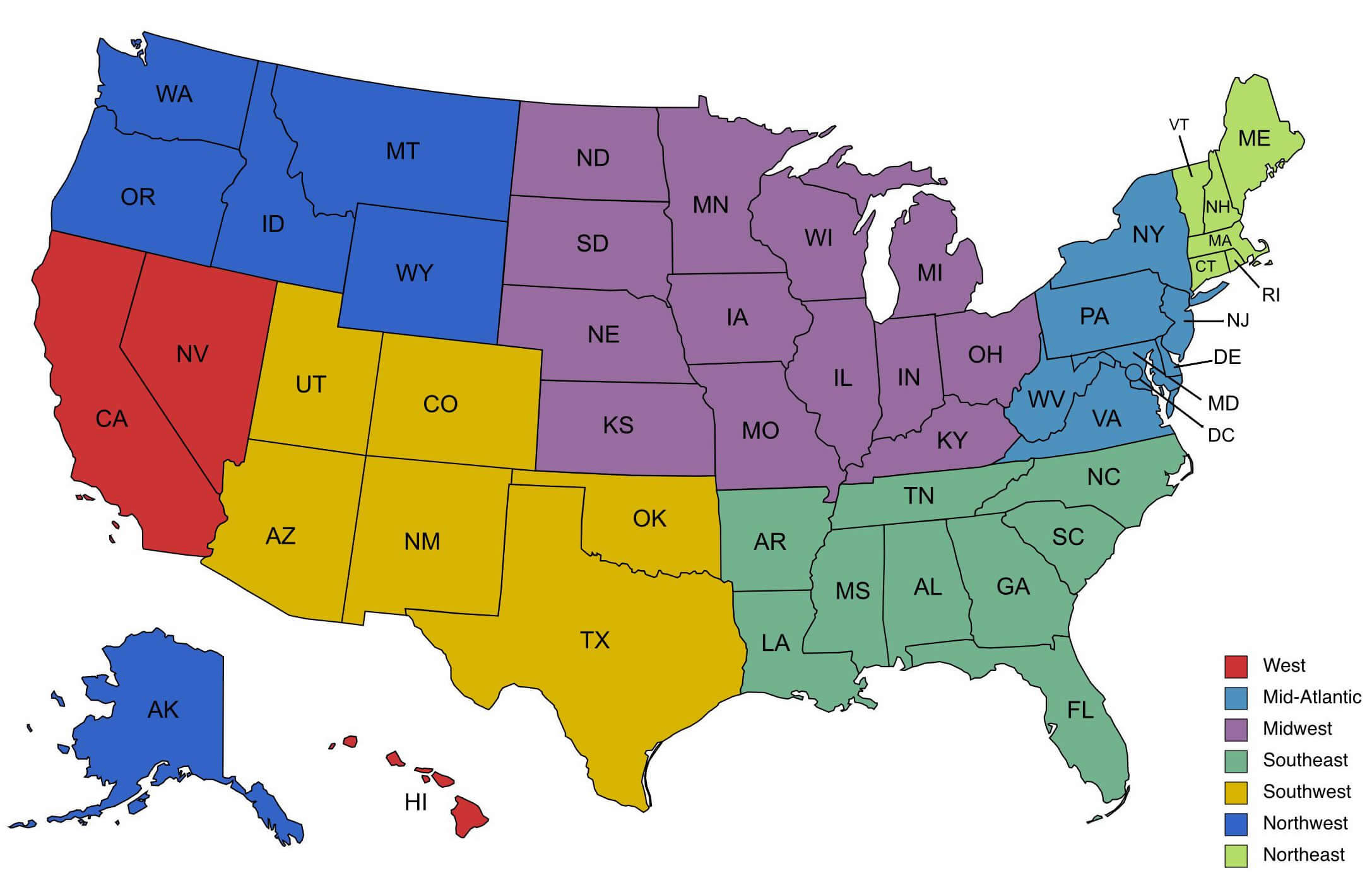
United States blank time zone map
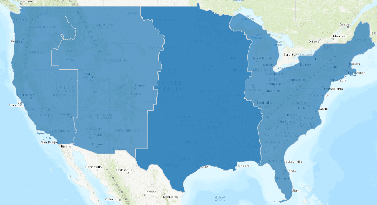
United States of America blank map with Pennsylvania state
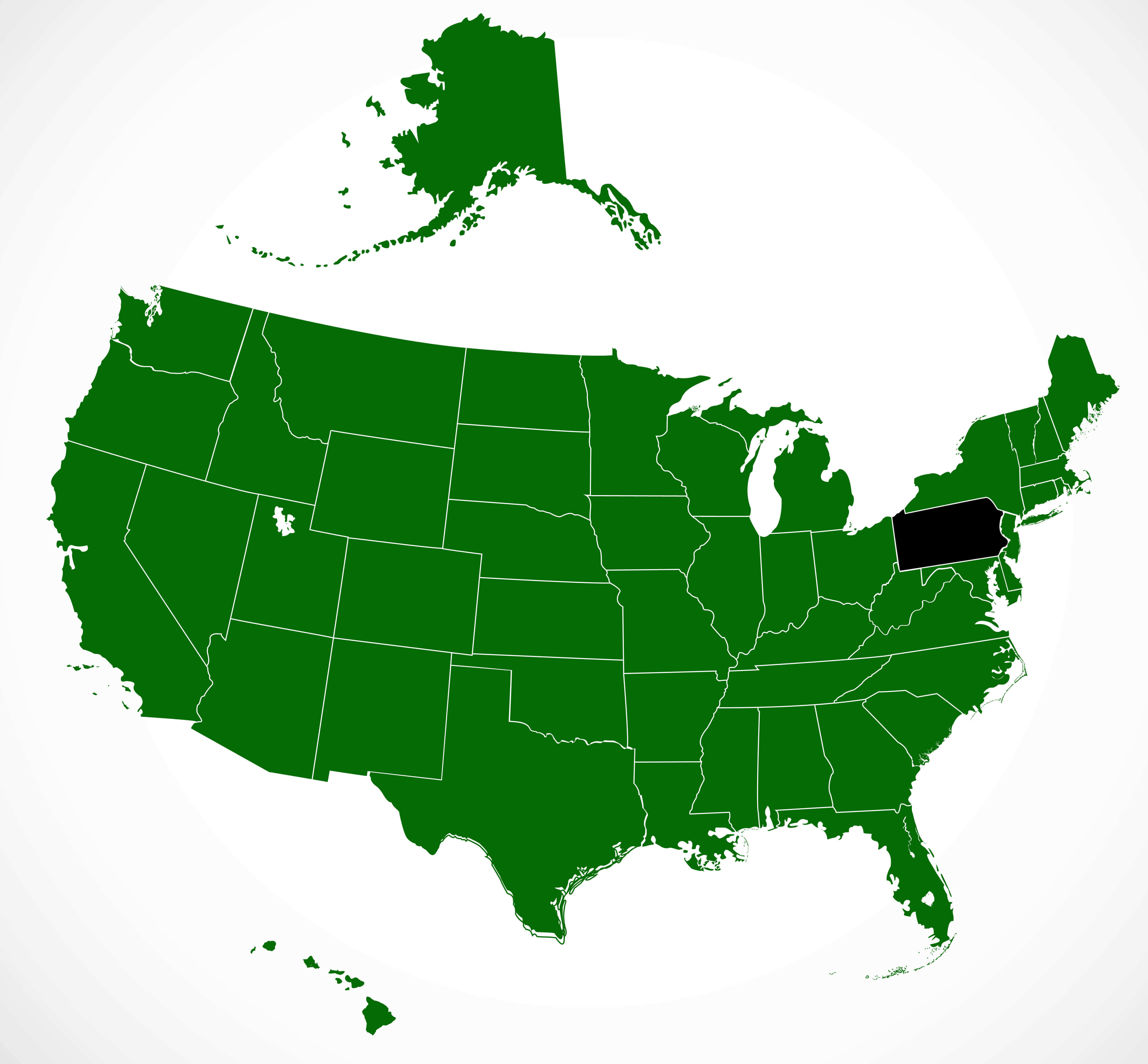
United States outline map in yellow color
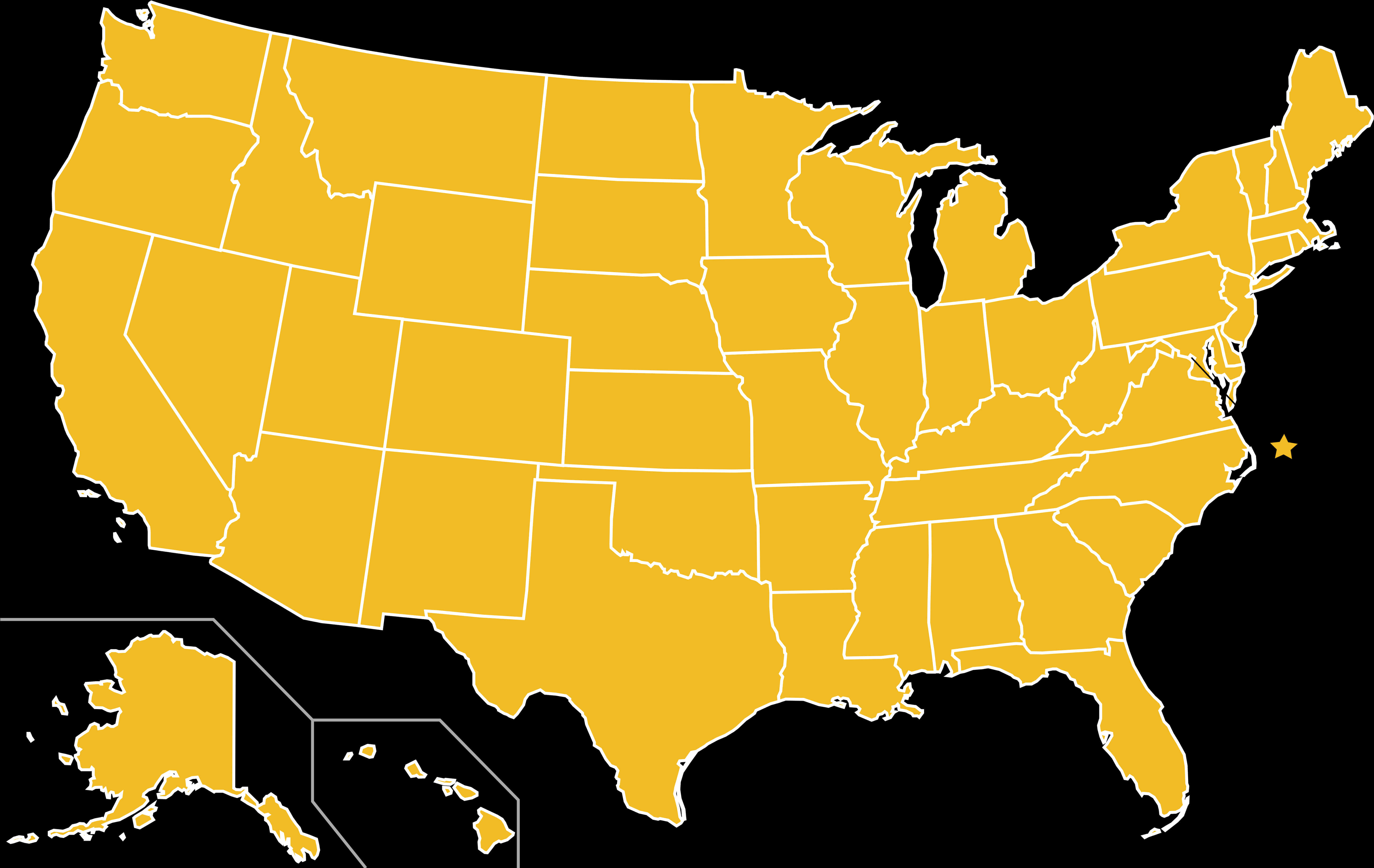
Where is the United States on the World Map?
Show Google map, satellite map, where is the country located.
Get directions by driving, walking, bicycling, public transportation and travel with street view.
Feel free to explore US states maps:
- United States Map ↗️
- US Maps ↗️
- Map of United States ↗️
- US States Map ↗️
- United States Maps ↗️
- United States States Map ↗️
- US Physical Map ↗️
- United States Physical Map ↗️
- Political Map of the US ↗️
- United States Political Map ↗️
- US High-resolution Map ↗️
- United States High-resolution Map ↗️
- US Population Map ↗️
- United States Population Map ↗️
- US Time Zone Map ↗️
- US Blank Map ↗️
- Gulf of America (The Gulf of Mexico) Map ↗️
- United States Time Zone Map ↗️
- California Time Zone Map ↗️
- Texas Time Zone Map ↗️
- New York Time Zone Map ↗️
- Florida Time Zone Map ↗️
- California Map ↗️
- Texas Map ↗️
- New York Map ↗️
- Florida Map ↗️
- Illinois Map ↗️
- Pennsylvania Map ↗️
- Ohio Map ↗️
- Michigan Map ↗️
- Georgia Map ↗️
- New Jersey Map ↗️
- North Carolina Map ↗️
- Virginia Map ↗️
- Massachusetts Map ↗️
- North America Map ↗️
- Advertisement -
