- Advertisement -
Explore United States maps by state: colorful & blank maps, capitals, abbreviations, time zones, physical and federal lands, population density, including Alaska & Hawaii.
The United States States Map shows all 50 states, including Alaska and Hawaii, highlighting their boundaries, locations, and geographical layout. It is a valuable tool for learning state names, capitals, and regions, as well as understanding how each state fits into the broader landscape of the country.
US States Map with Capitals
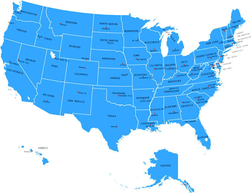 US states map showing capitals and major cities across all 50 states.
United States 50 Federal States Map
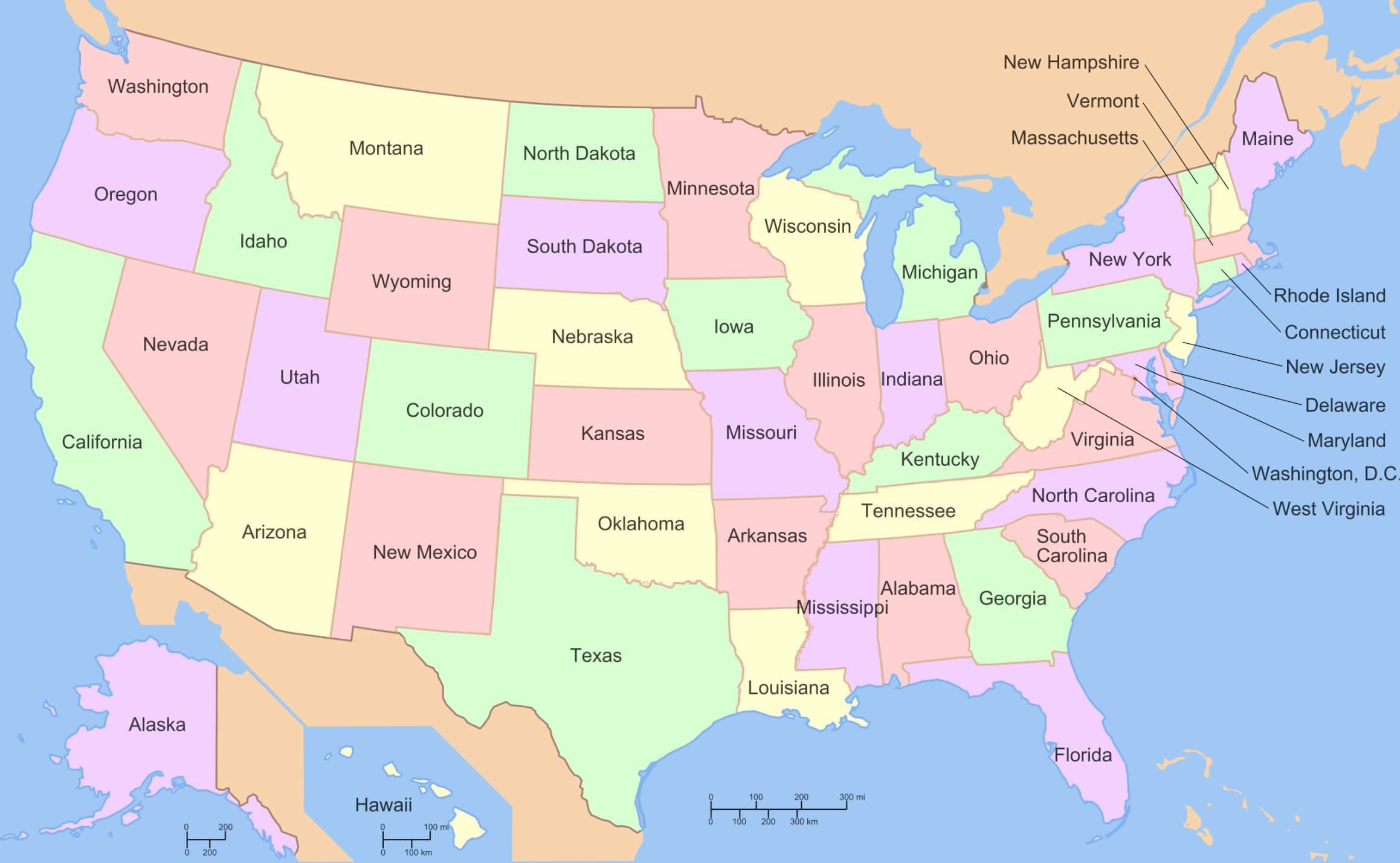 Map of the United States showing all 50 federal states with boundaries.
United States map with US states Alaska and Hawaii
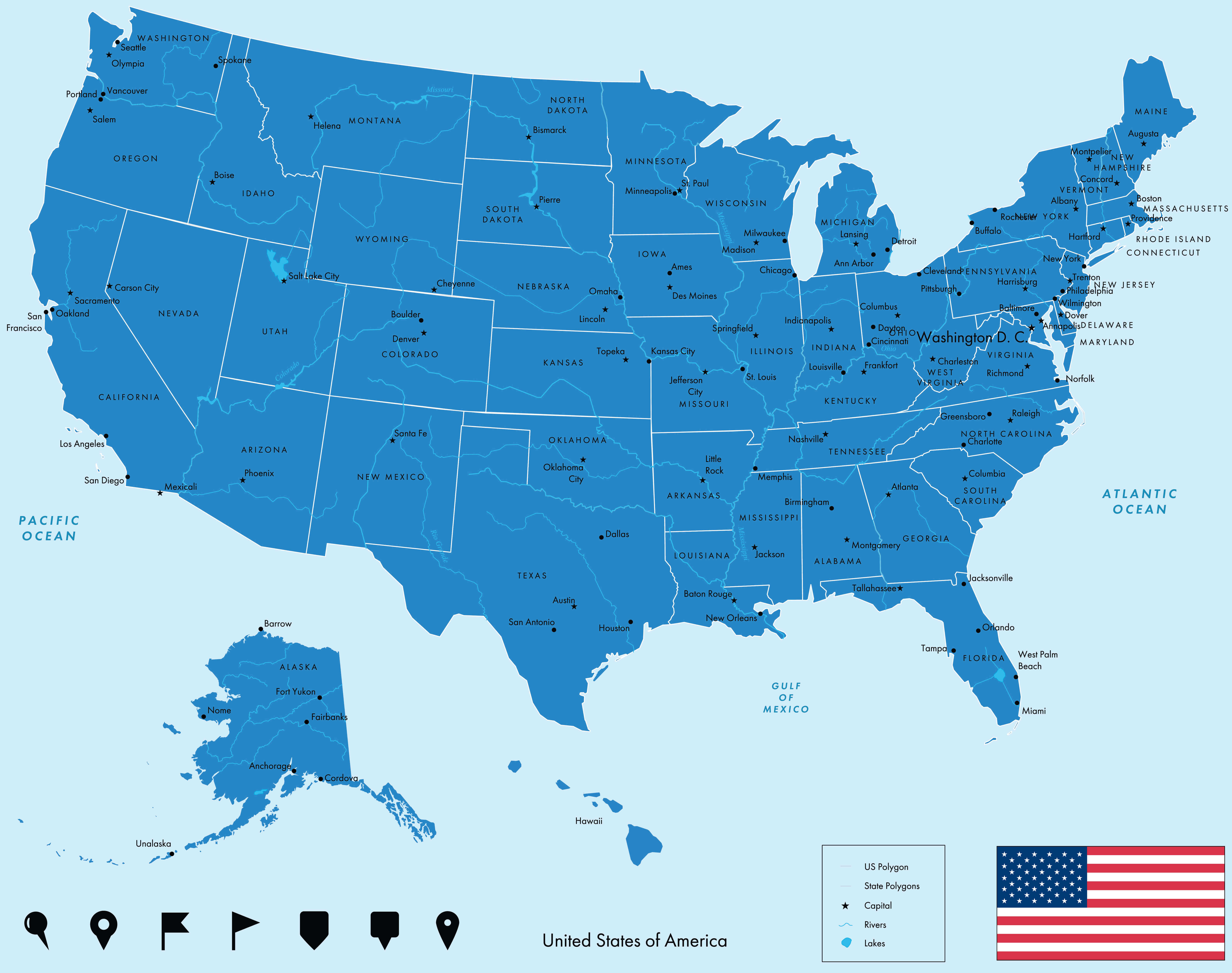
Colorful United States states blank map with Hawaii and Alaska
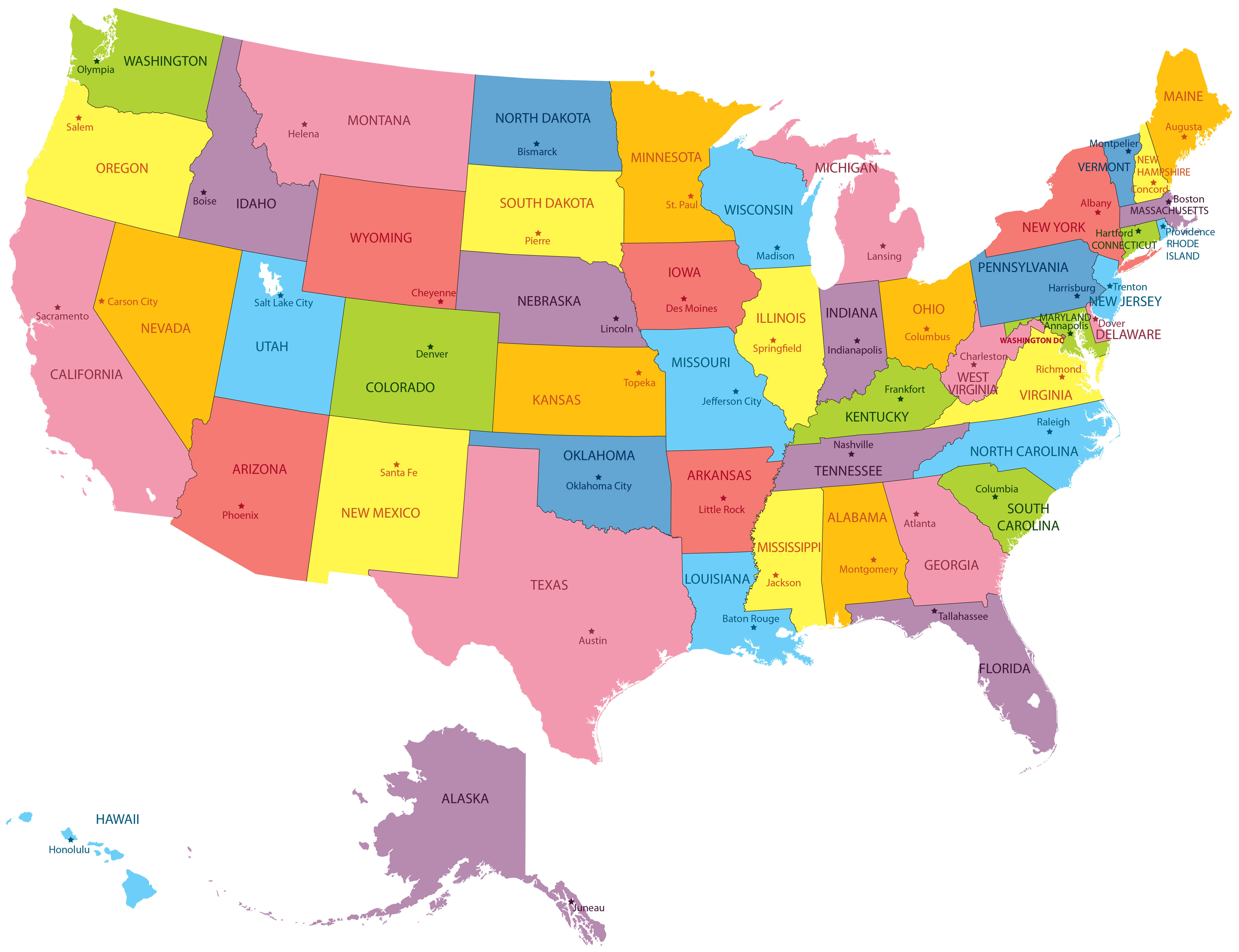
The United States map with states abbreviation
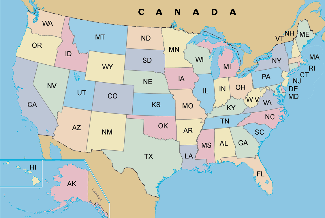
Colorful United States map by states
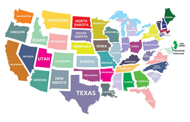
Languages of state names map in the United States
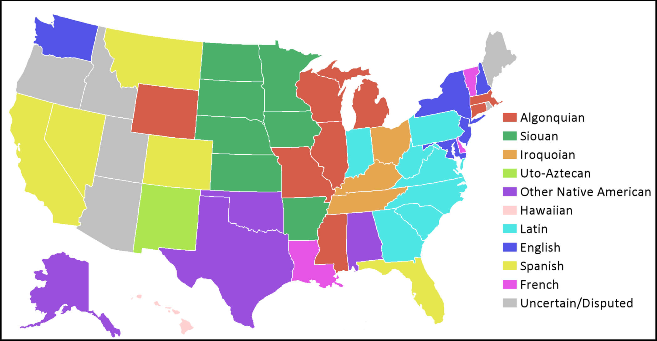
States map of United States of America
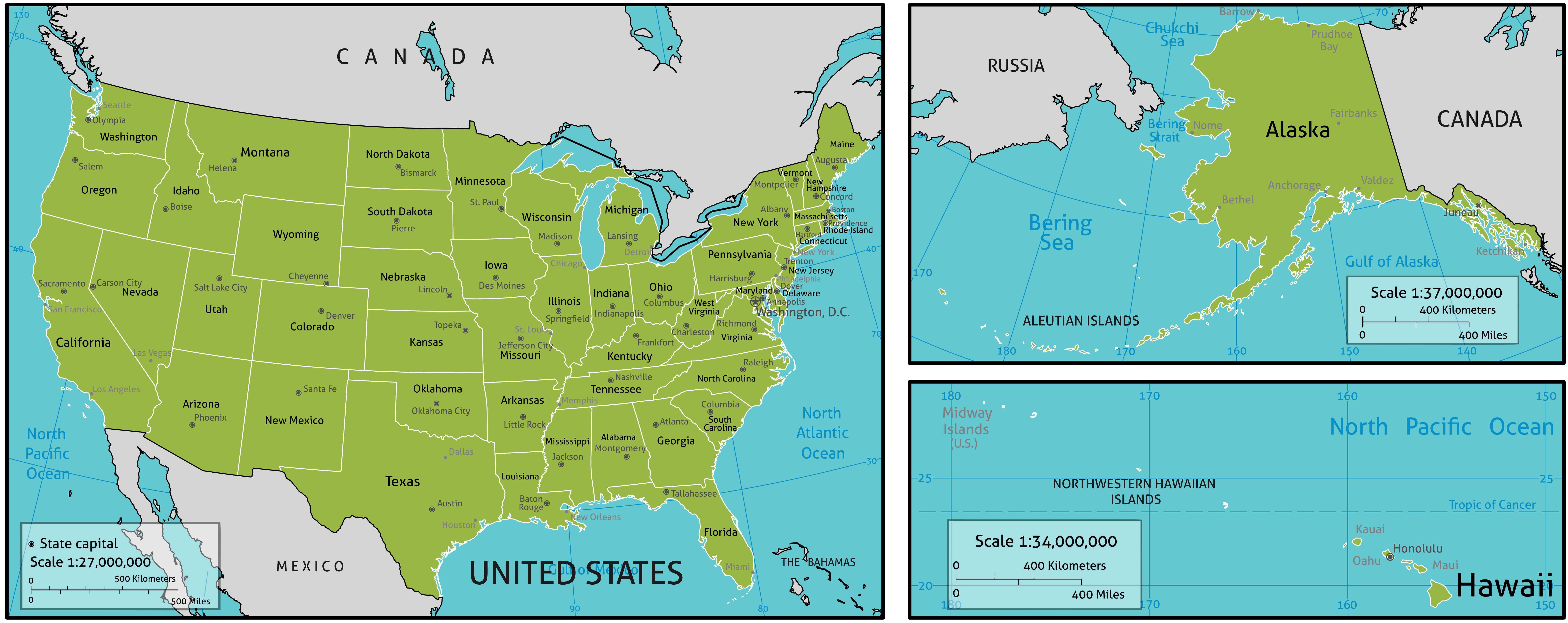
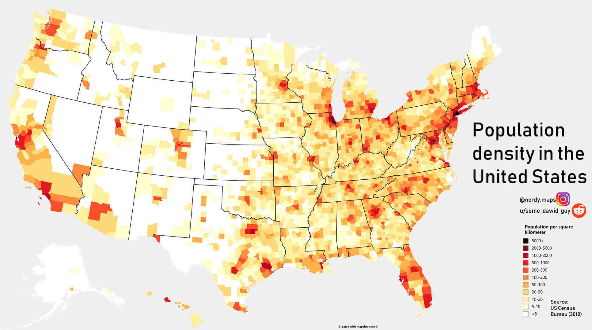
States population density map in the United States
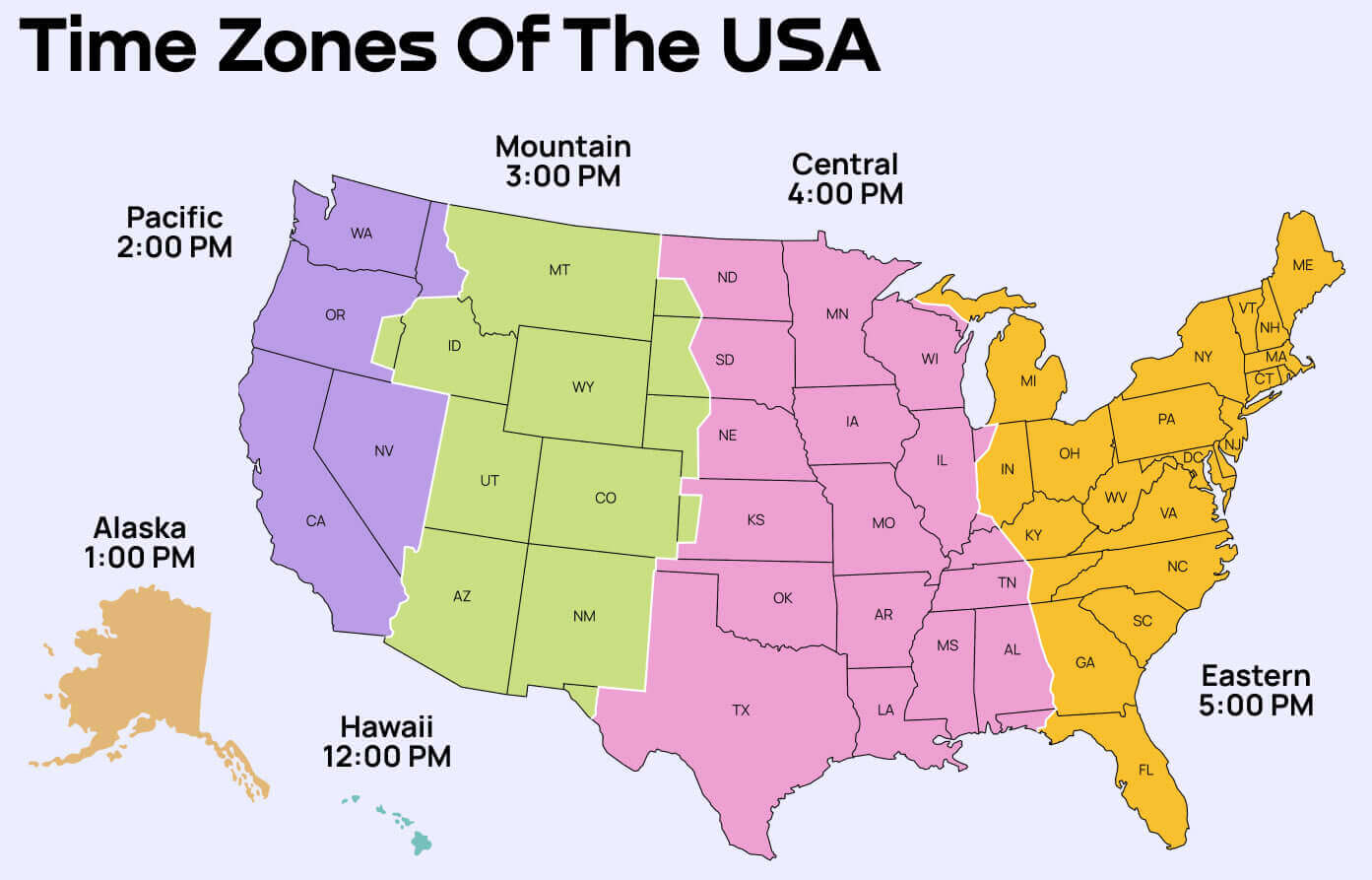
Time zones map of the United States
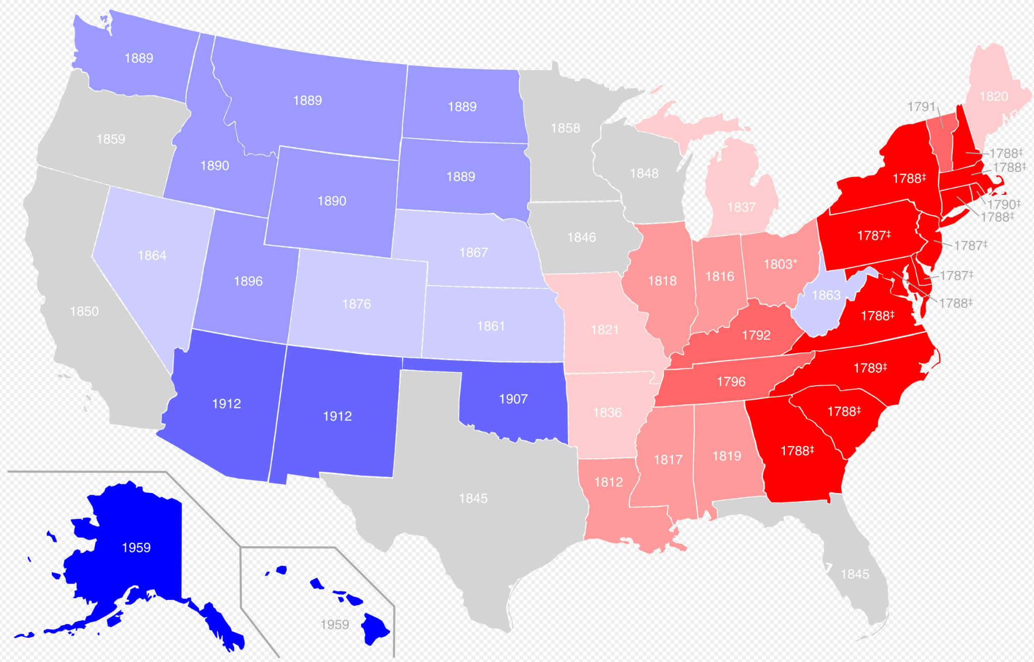
United States by date of statehood map
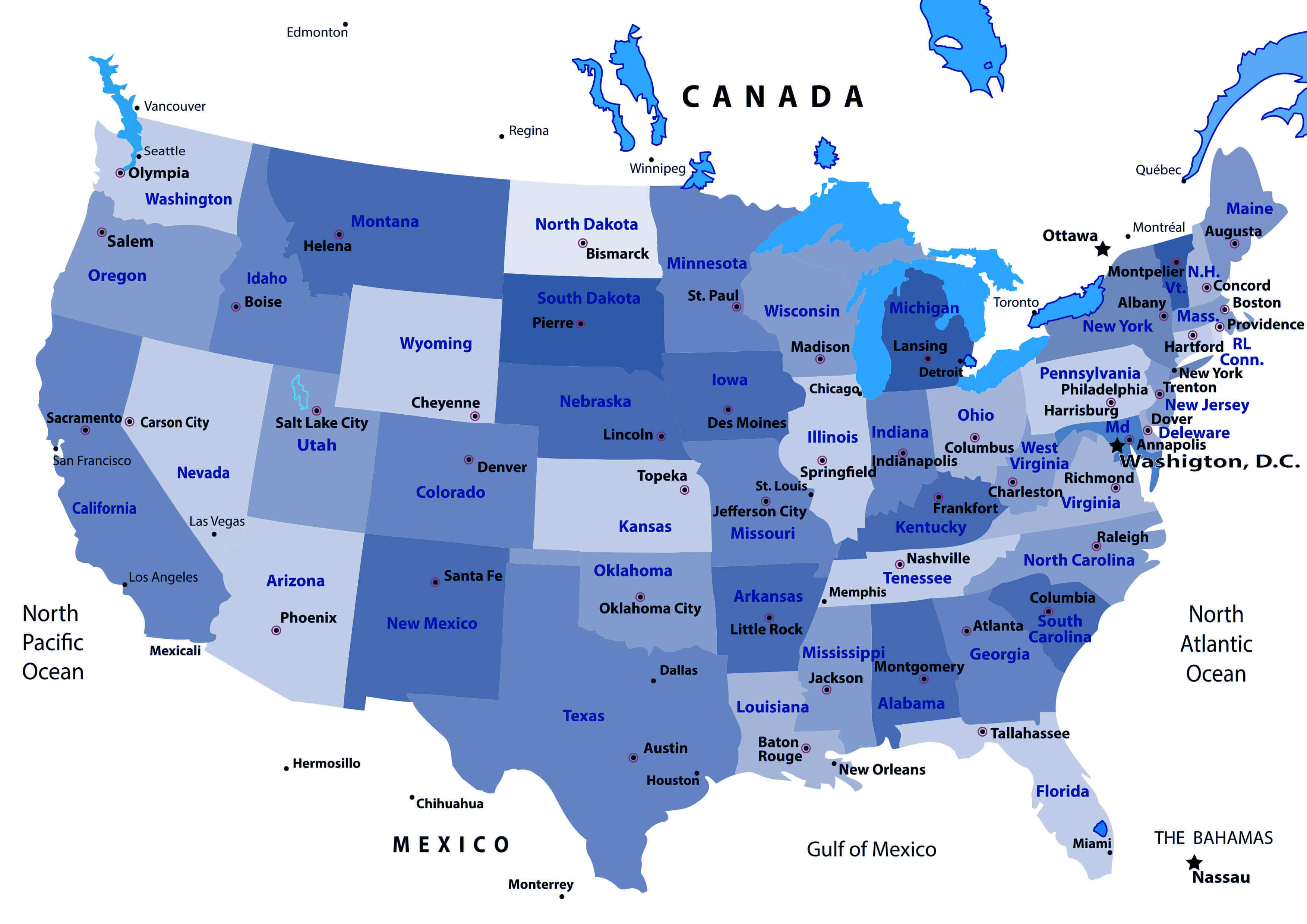
United States capitals and main cities map
United States federal lands map
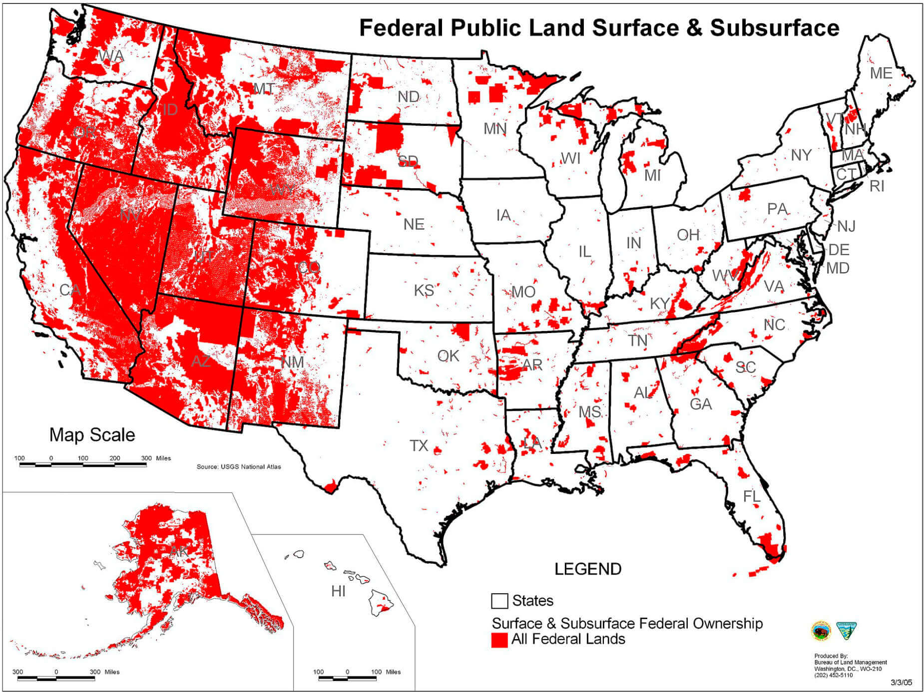
United States map in white
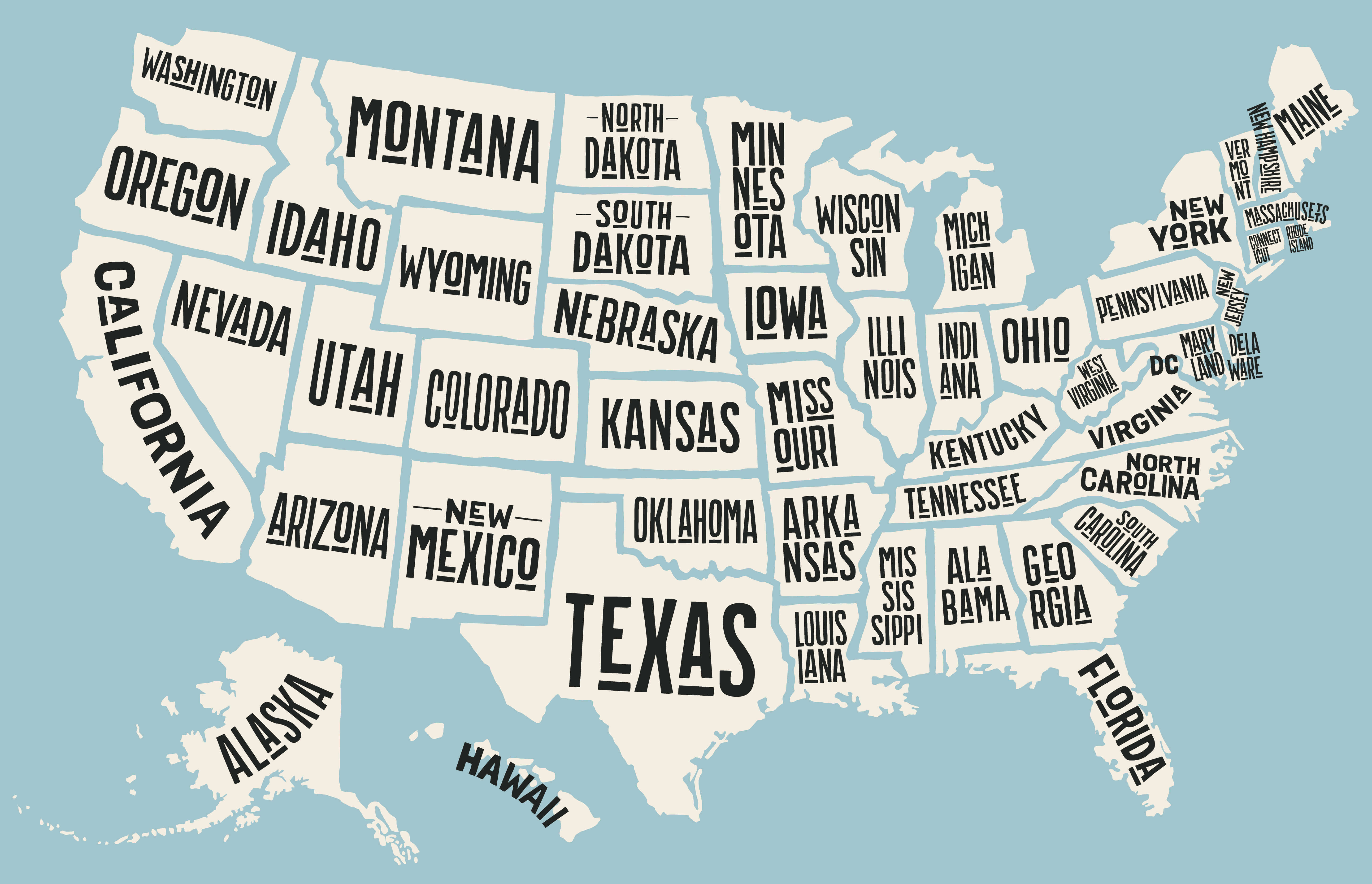
United States map states national capitals
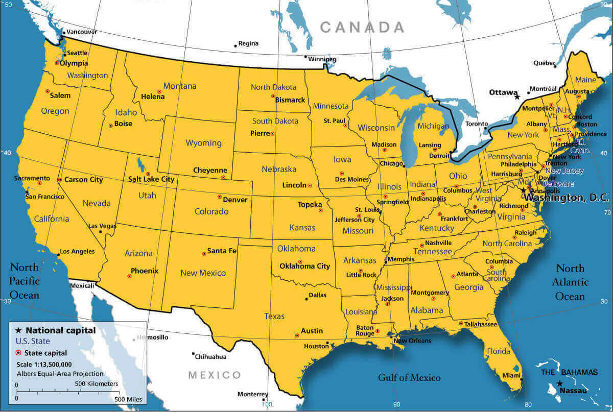
United States map with states
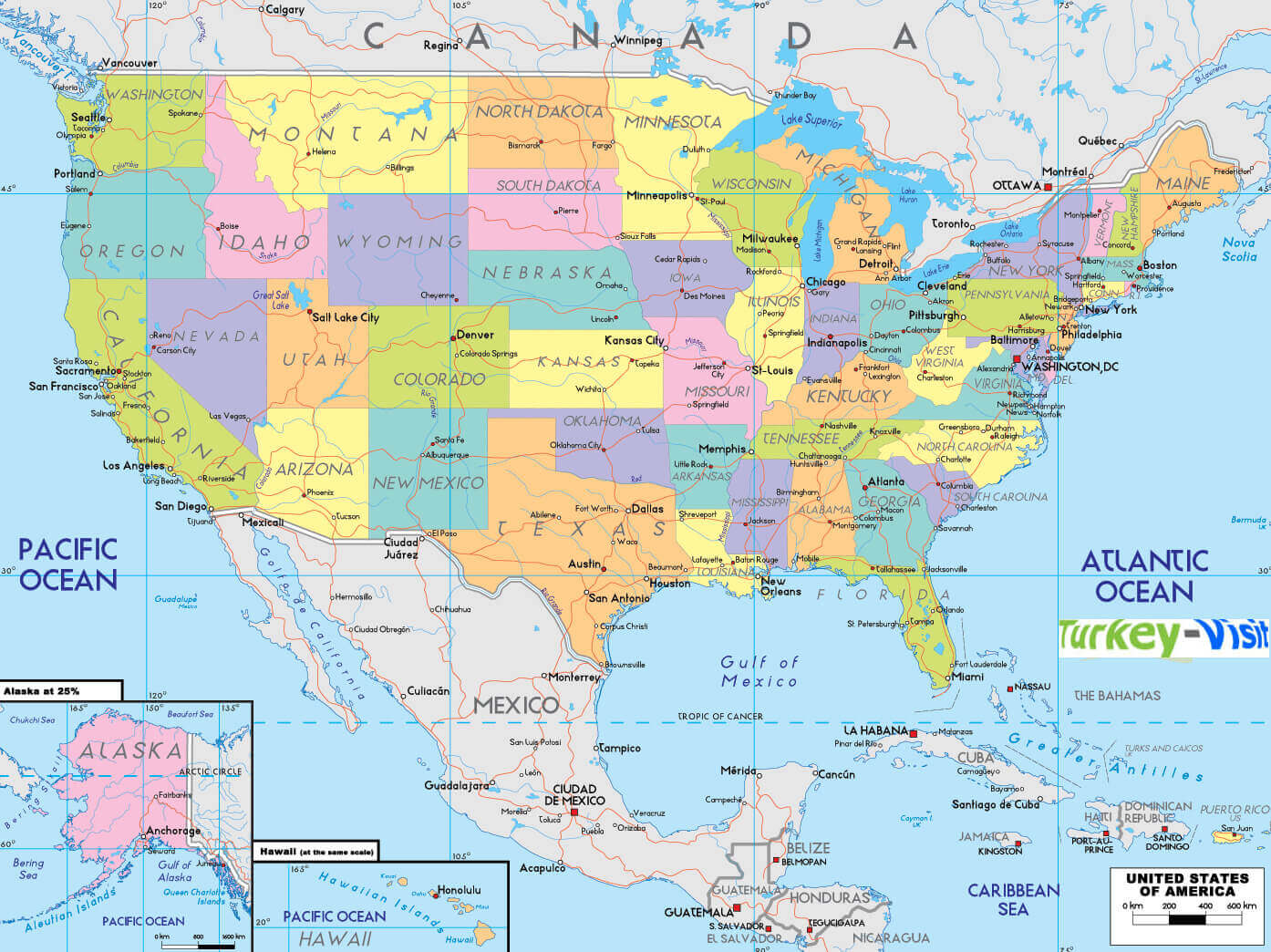
United States map with US states abbreviations
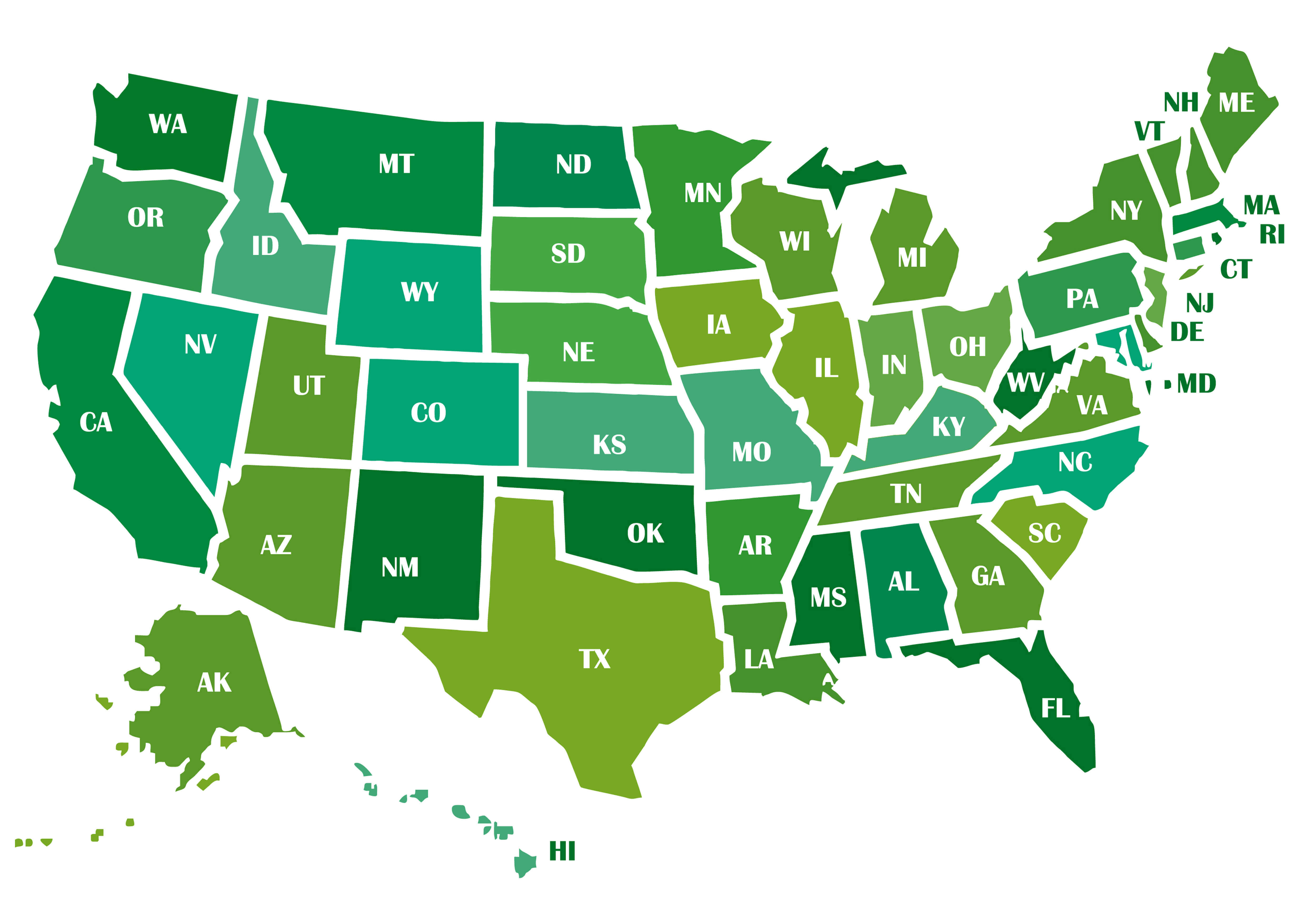
United States of America states blank map with Hawaii and Alaska
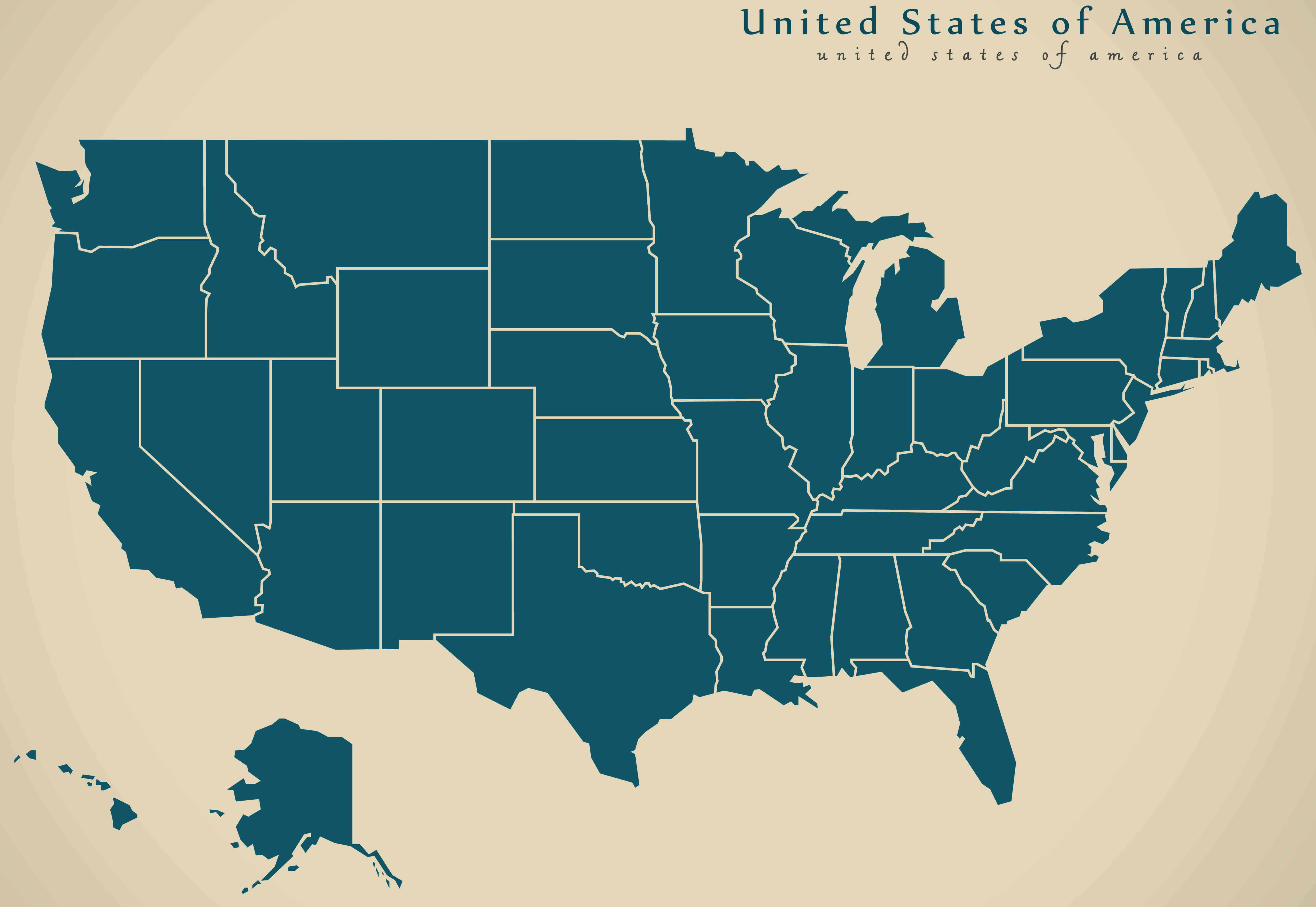
United States of America time zones map with states
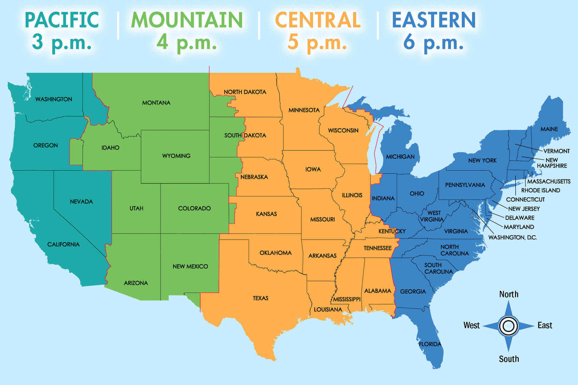
United States physical map by states
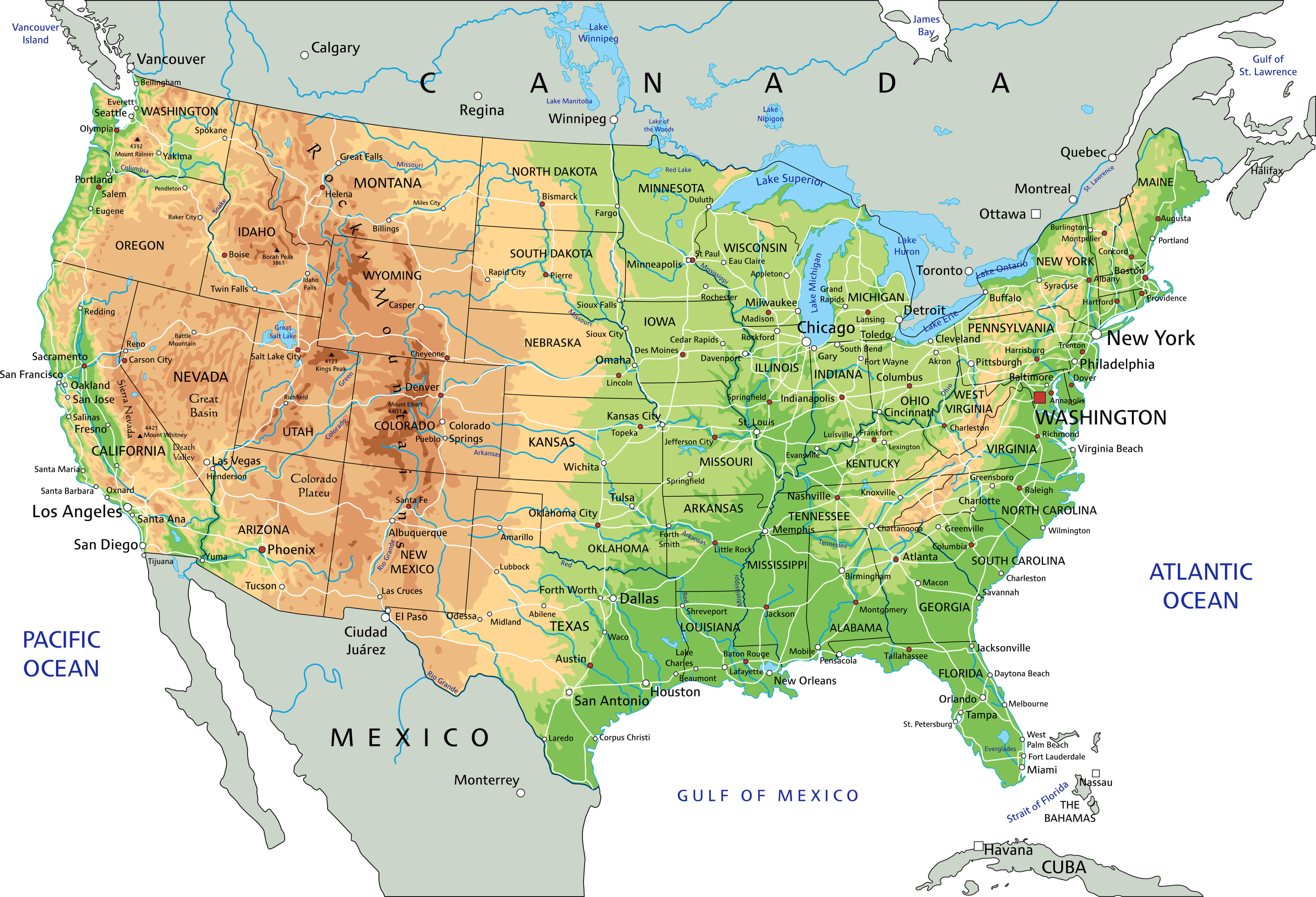
United States population density 2020 census
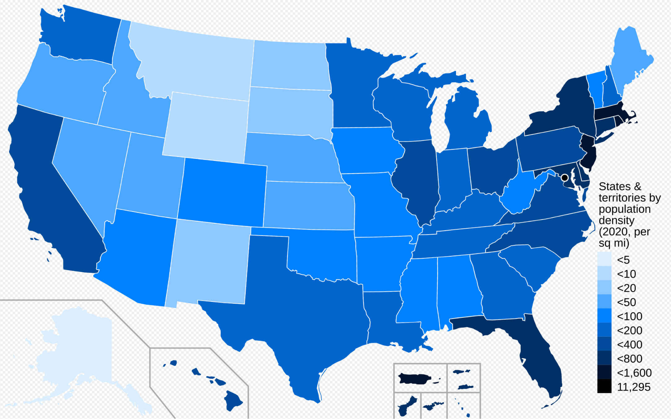
United States population density map by states
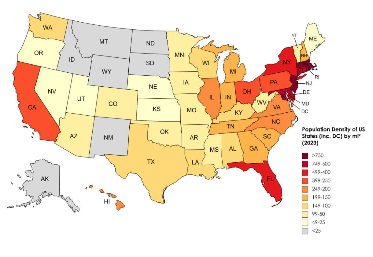
United States population map by states
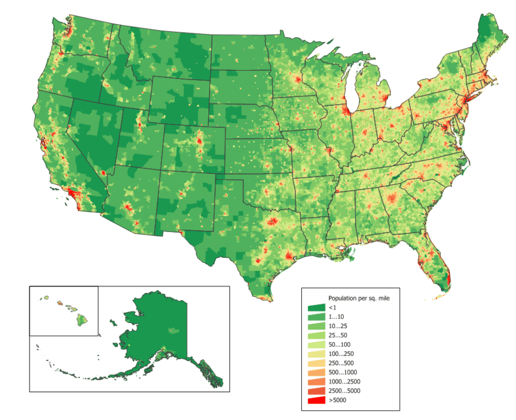
United States residents population map with US states
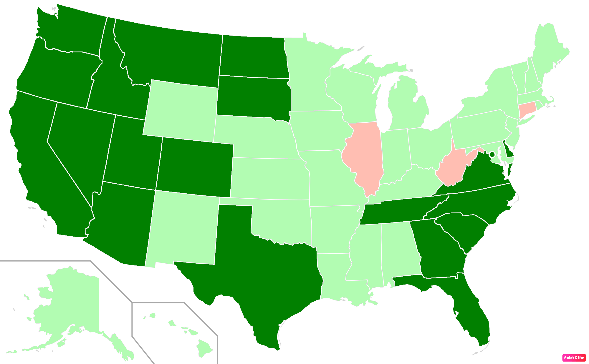
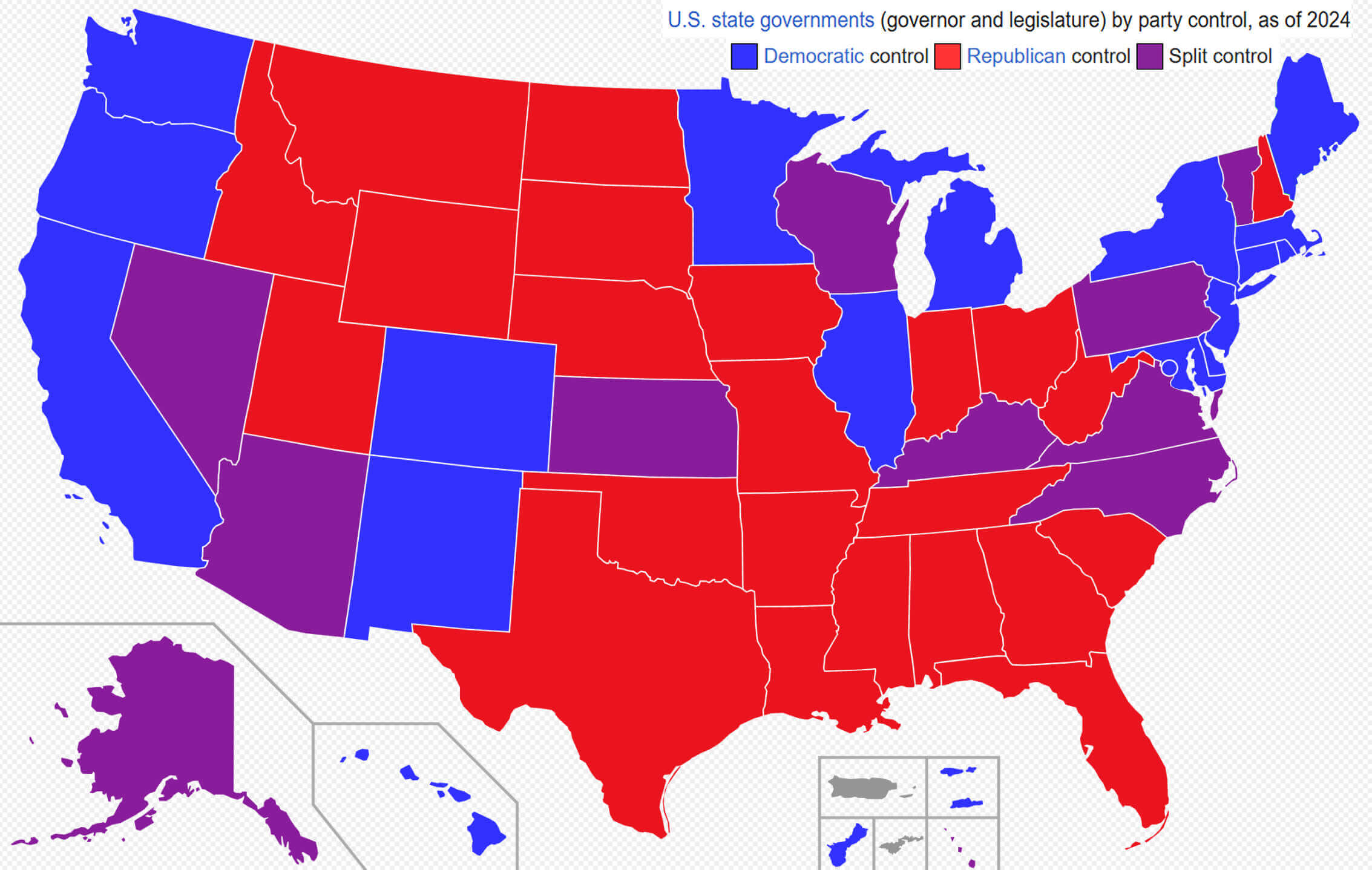
United States state government by party control
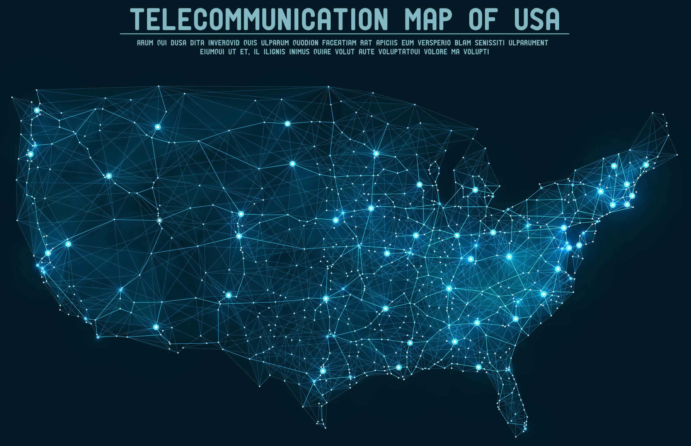
United States telecommunication map
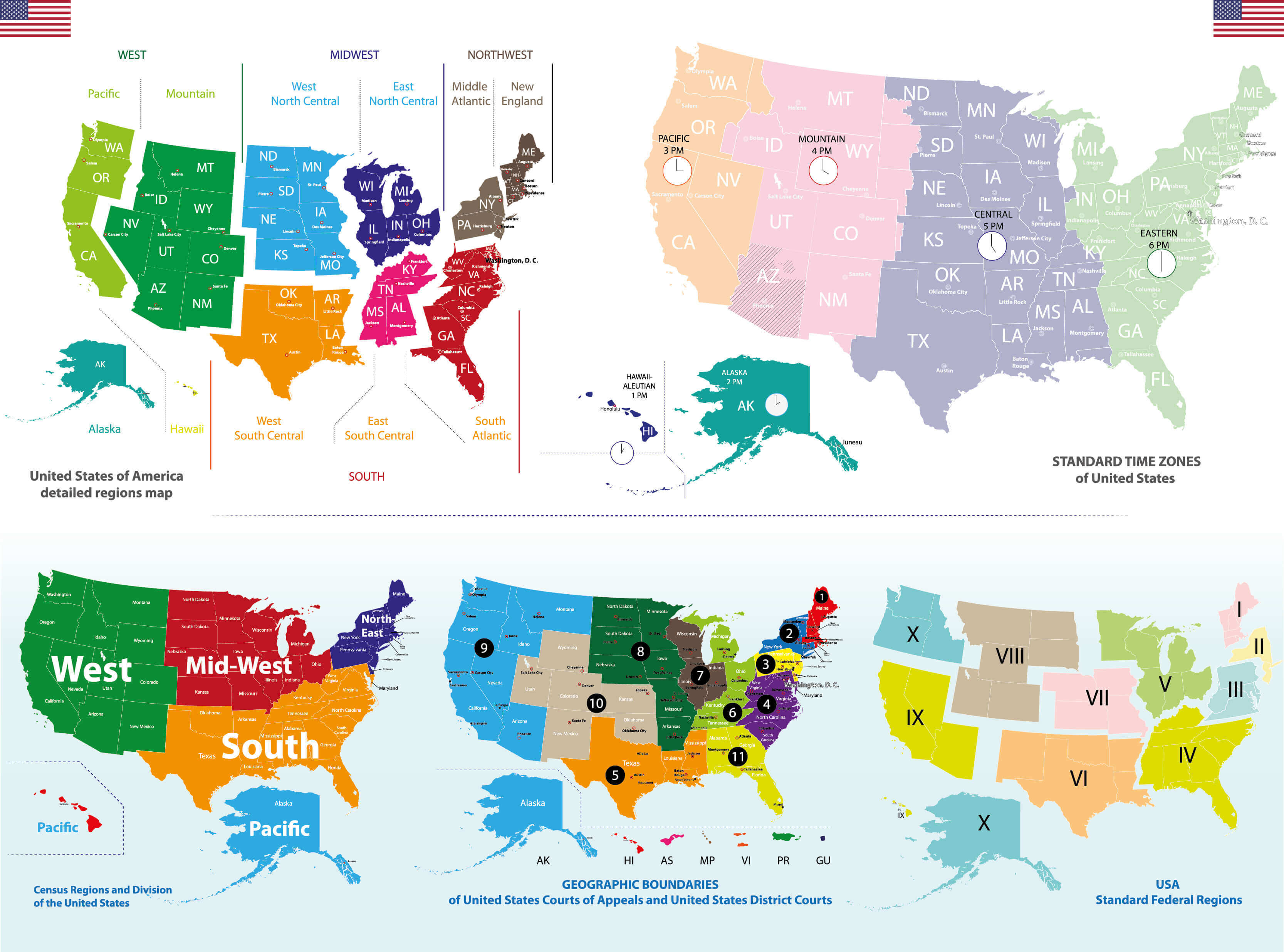
United States time zone map
Where is the United States on the World Map?
Show Google map, satellite map, where is the country located.
Get directions by driving, walking, bicycling, public transportation and travel with street view.
Feel free to explore US states maps:
- United States Map ↗️
- US Maps ↗️
- United States Maps ↗️
- Map of United States ↗️
- US States Map ↗️
- Political Map of the US ↗️
- United States Political Map ↗️
- US High-resolution Map ↗️
- United States High-resolution Map ↗️
- United States States Map ↗️
- US Population Map ↗️
- United States Population Map ↗️
- US Time Zone Map ↗️
- US Blank Map ↗️
- United States Blank Map ↗️
- US Physical Map ↗️
- United States Physical Map ↗️
- Gulf of America (The Gulf of Mexico) Map ↗️
- United States Time Zone Map ↗️
- California Time Zone Map ↗️
- Texas Time Zone Map ↗️
- New York Time Zone Map ↗️
- Florida Time Zone Map ↗️
- California Map ↗️
- Texas Map ↗️
- New York Map ↗️
- Florida Map ↗️
- Illinois Map ↗️
- Pennsylvania Map ↗️
- Ohio Map ↗️
- Michigan Map ↗️
- Georgia Map ↗️
- New Jersey Map ↗️
- North Carolina Map ↗️
- Virginia Map ↗️
- Massachusetts Map ↗️
- North America Map ↗️
- Advertisement -
