- Advertisement -
Discover the United States political map with states, capitals, boundaries, Alaska & Hawaii, rivers, territorial acquisitions, tribes, climate, abbreviations, US territories, the USA’s location on the world map. Explore America’s divisions, major cities, and government regions clearly.
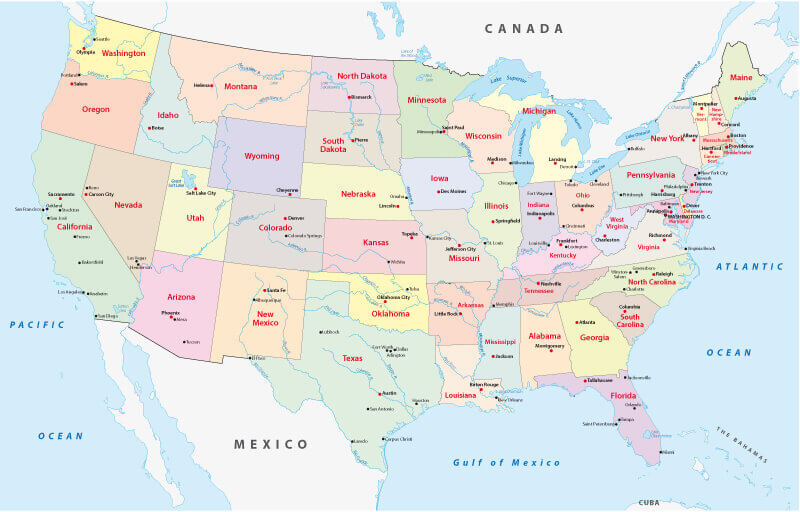
Colorful United States political map with states
 Texas USA map showing Central and Mountain time zones with surrounding states.
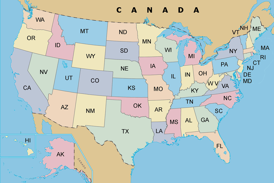
The United States map with states abbreviation
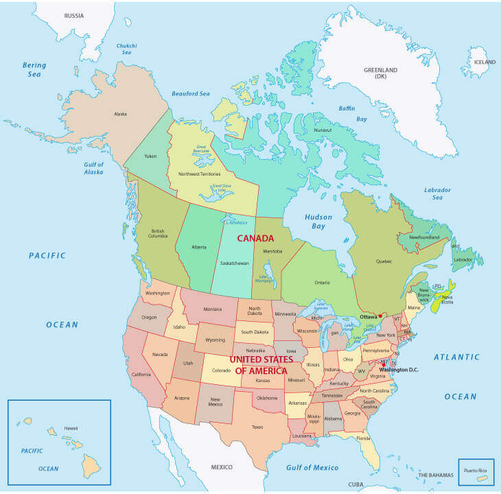
United States political map with US states and canada territorial
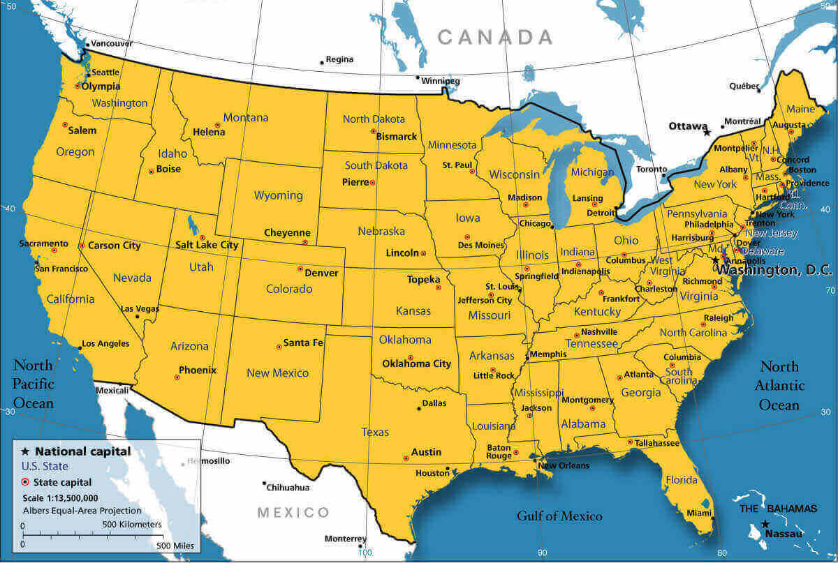
United States map states national capitals
United States political map with Alaska Hawaii
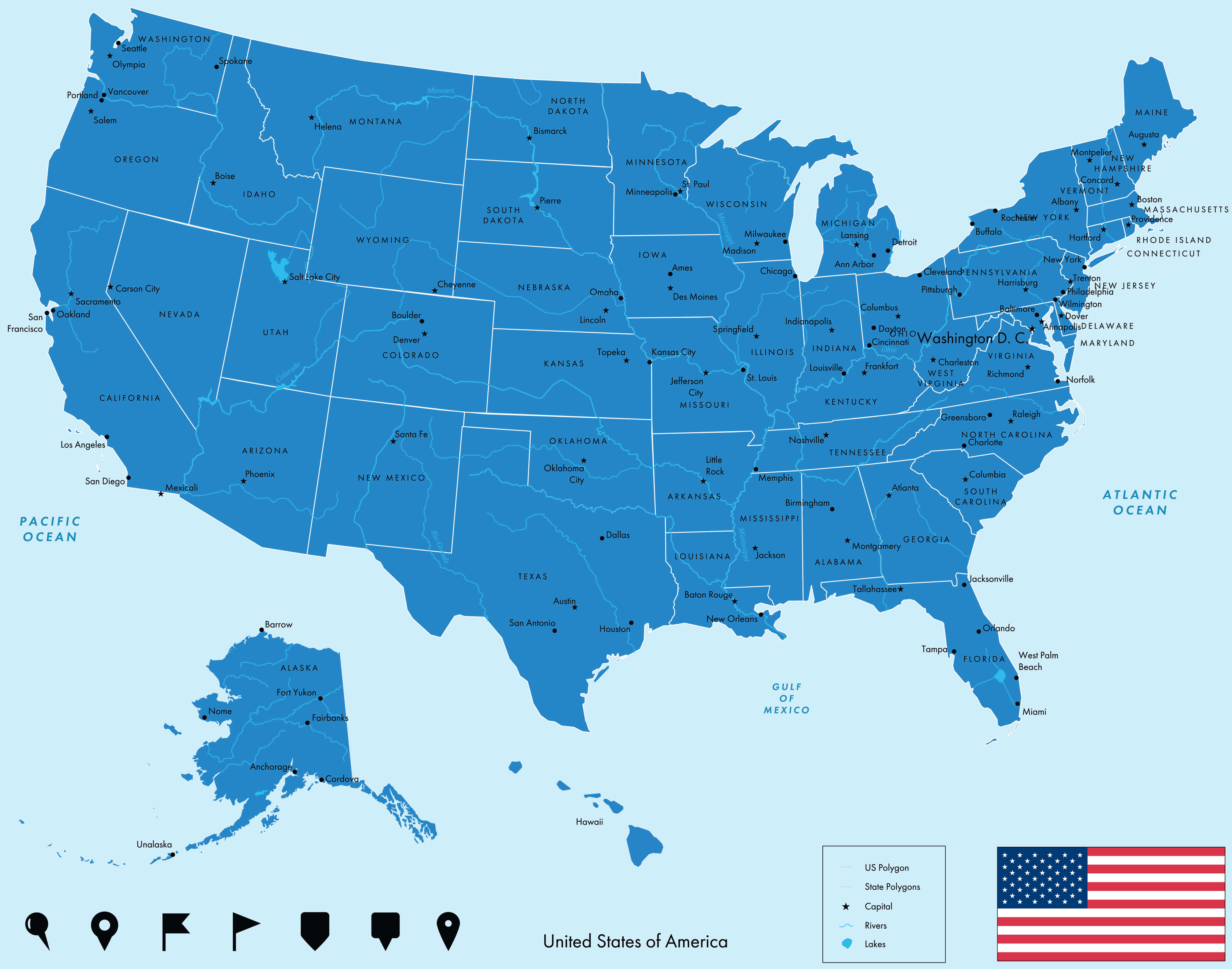
American civil war map 1800 1865
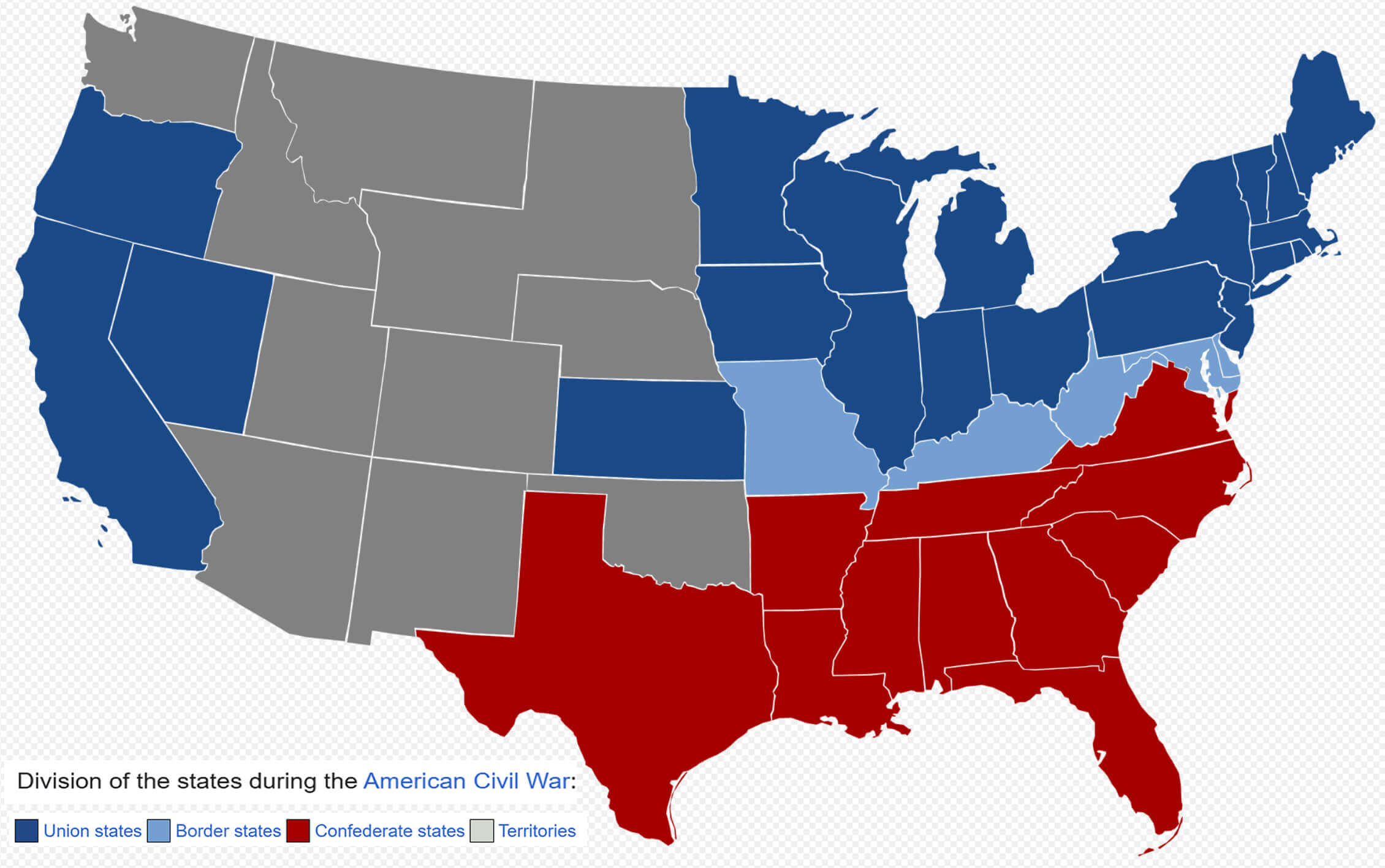
European colonization map with the United States in 1750
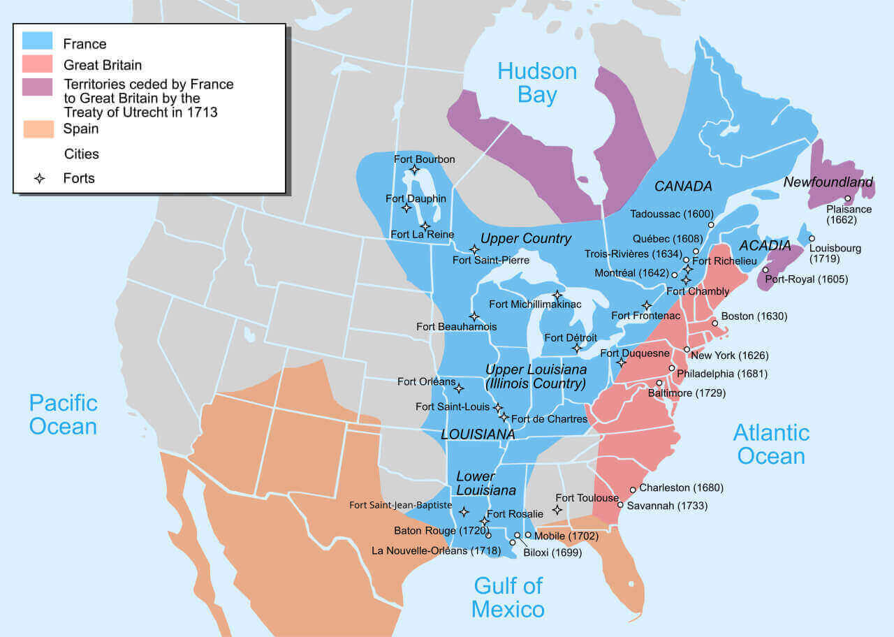
Political map of the United States with Alaska and Hawaii
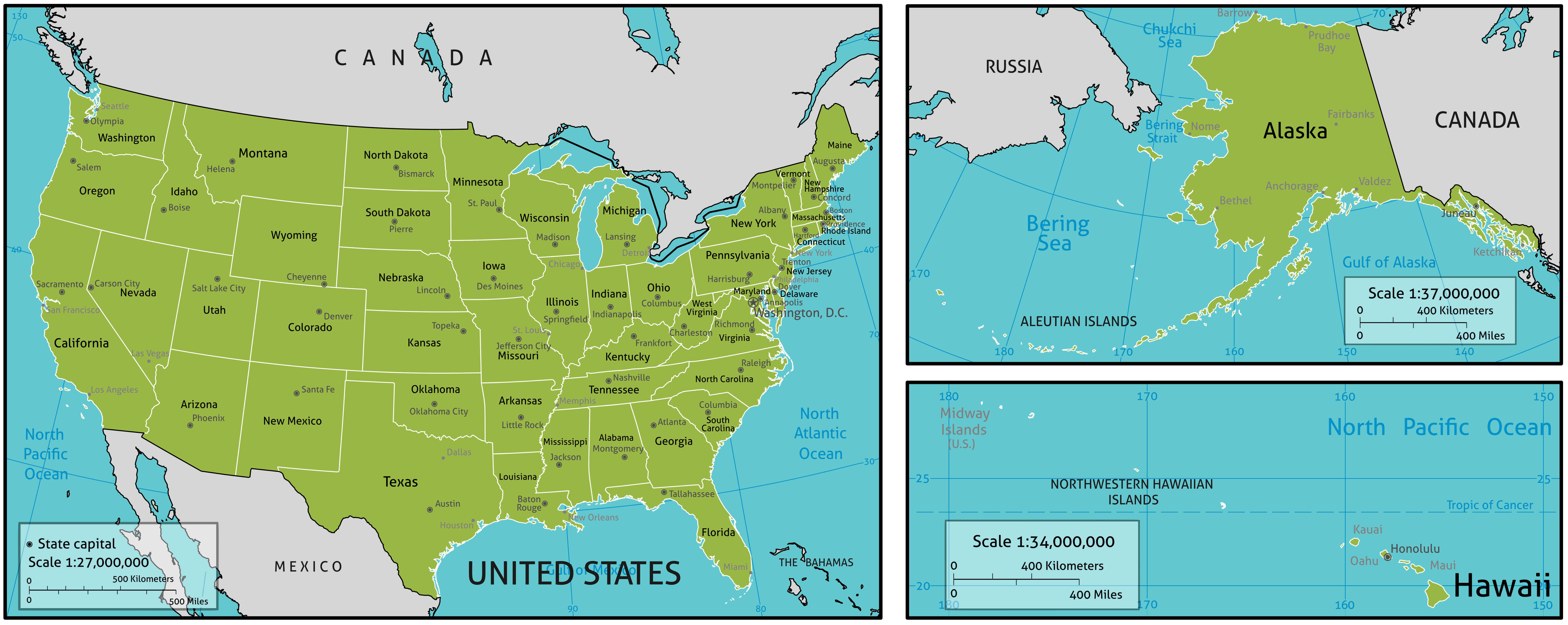
Political map of the United States with United States
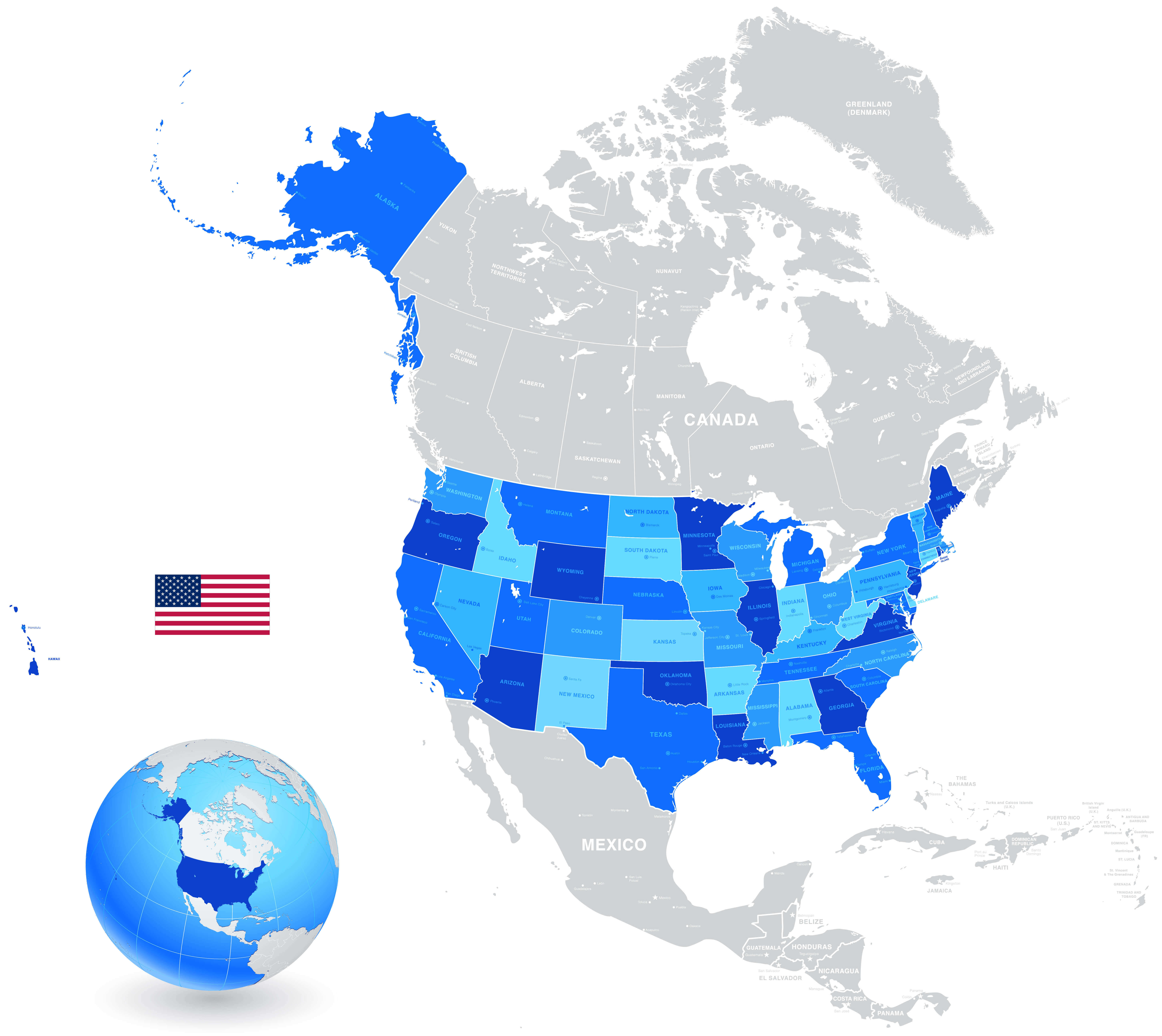
Political map of the United States
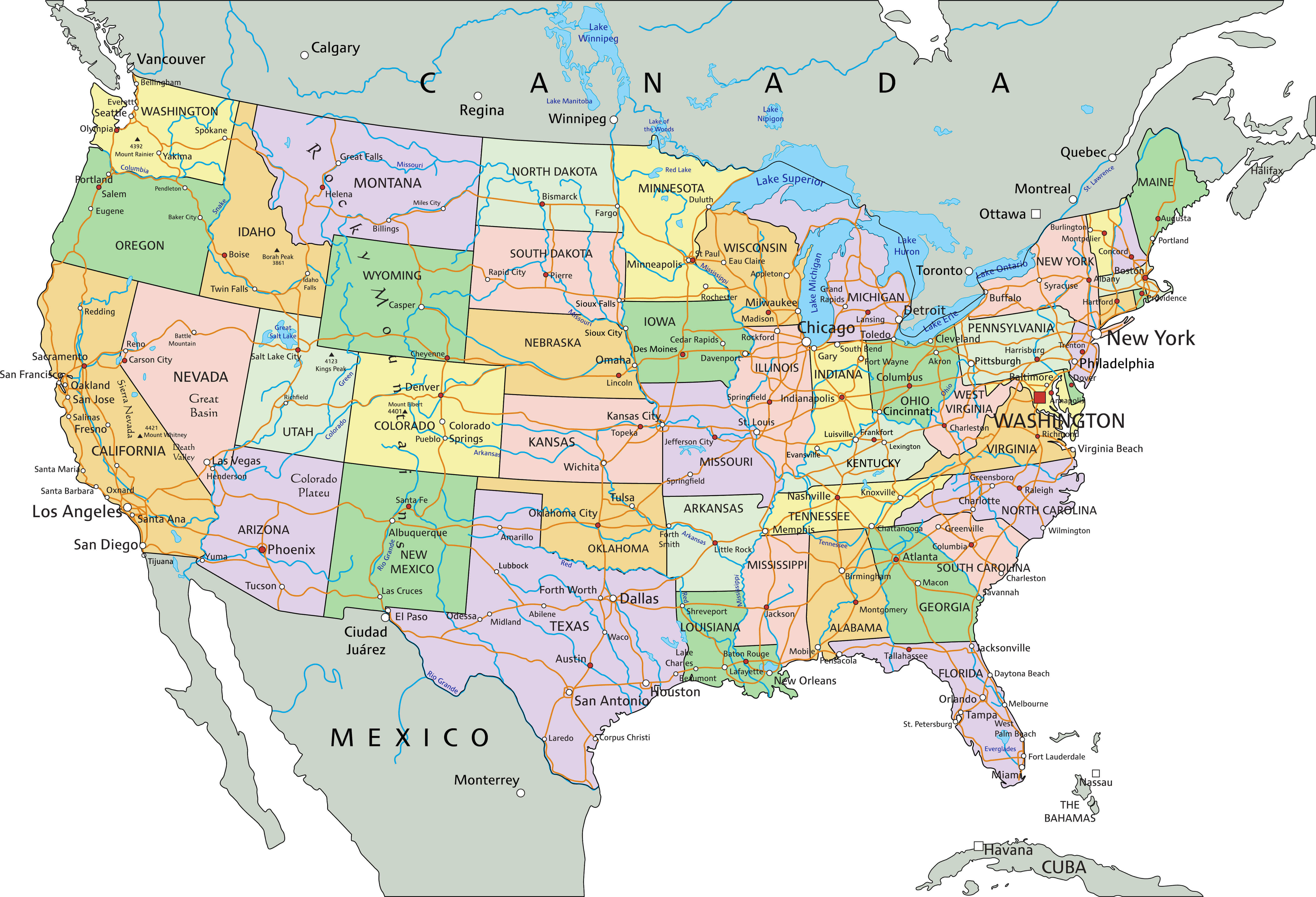
The United States of America political map with major cities
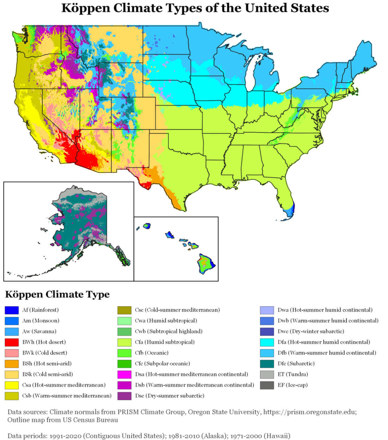
United States climate map
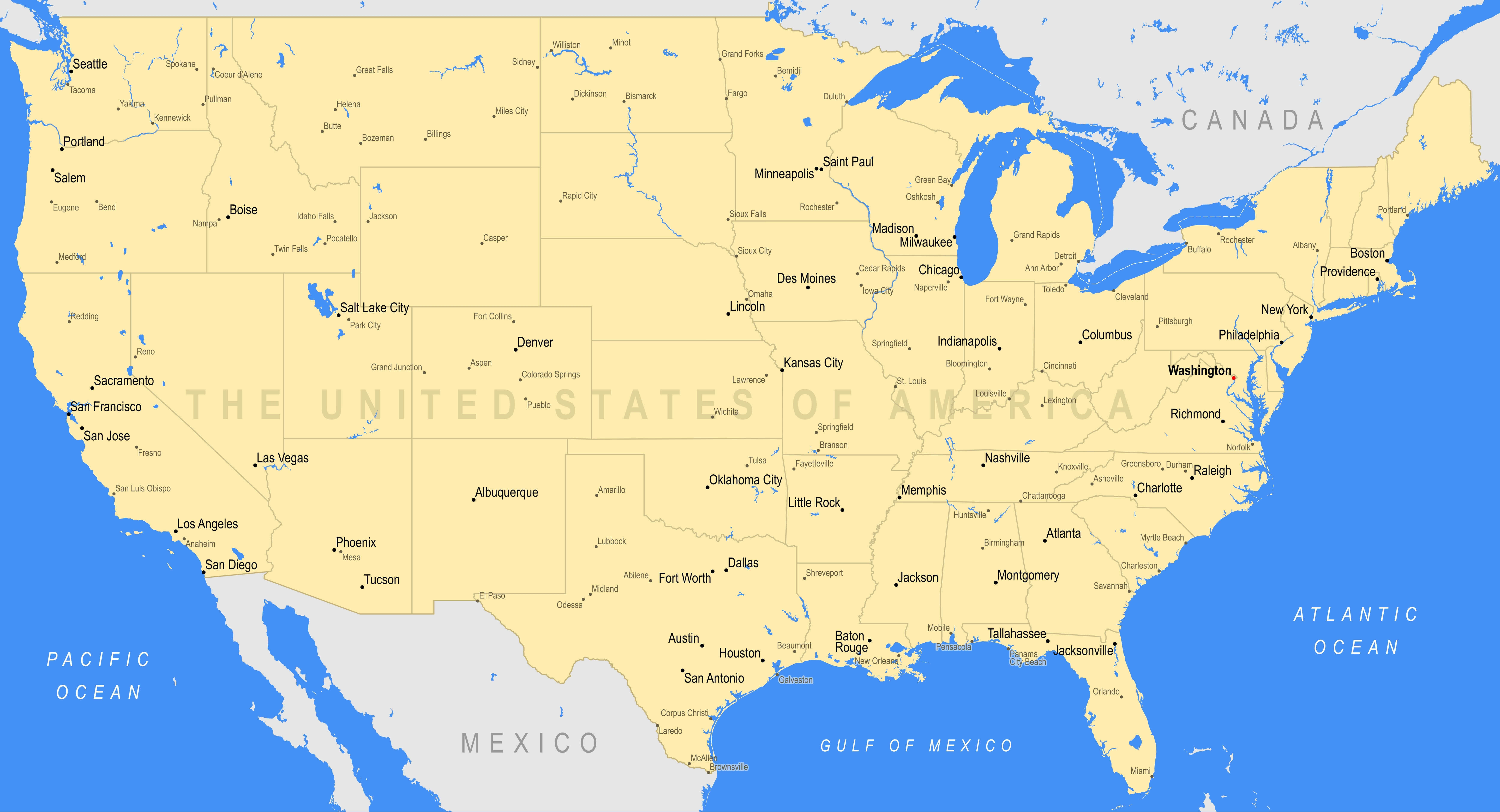
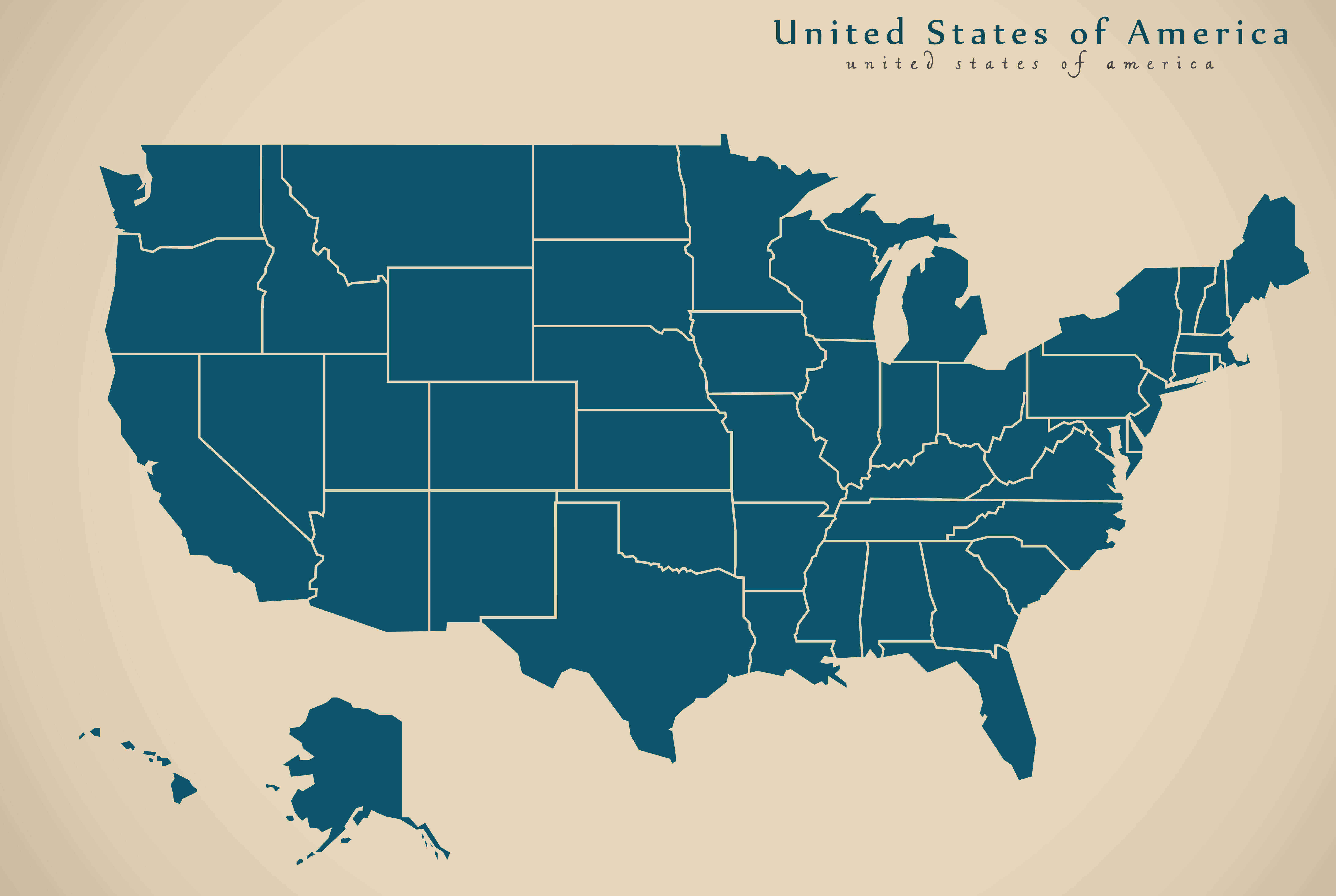
United States political blank map
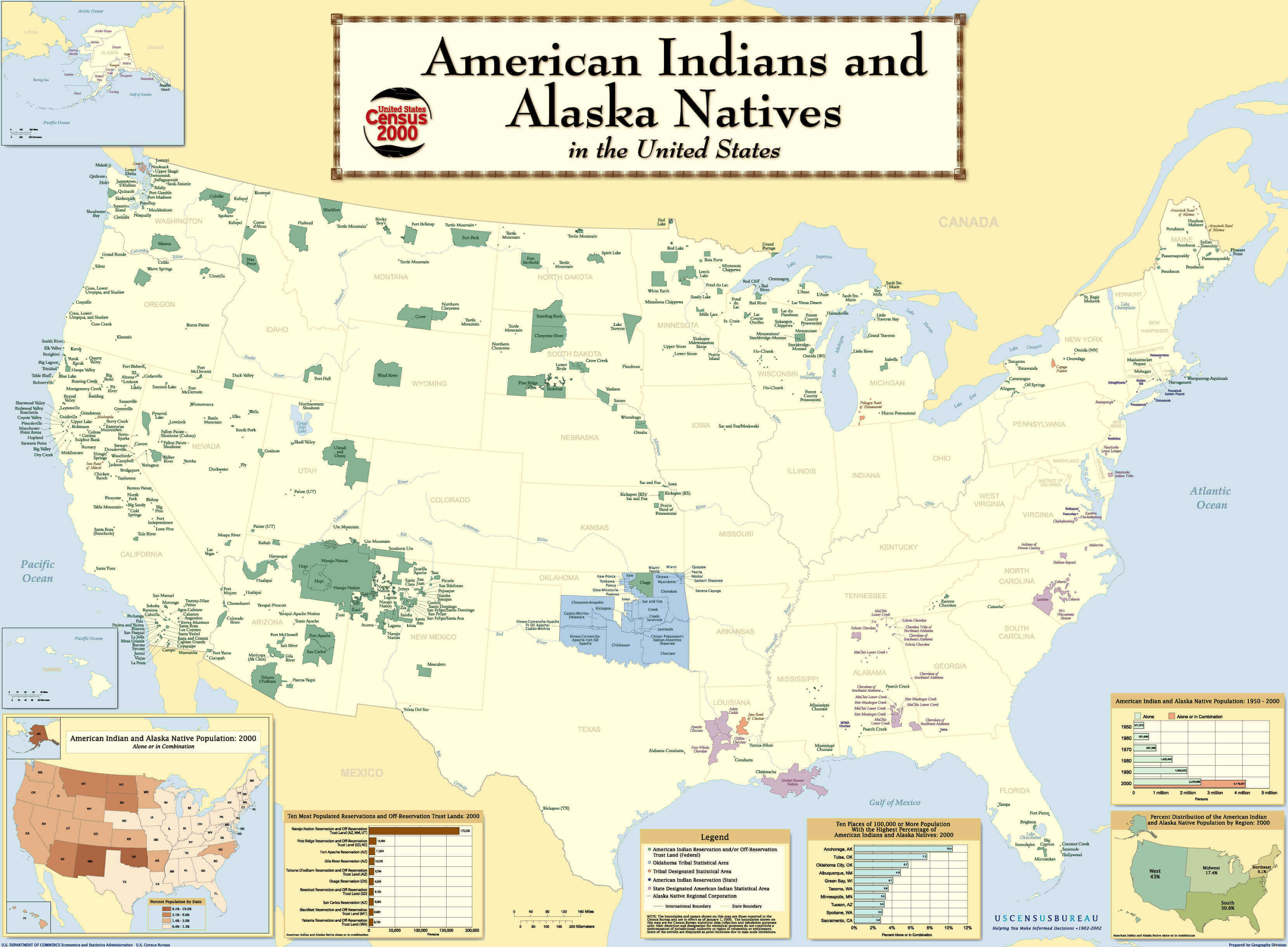
United States political Indian Tribes map
United States political map by states
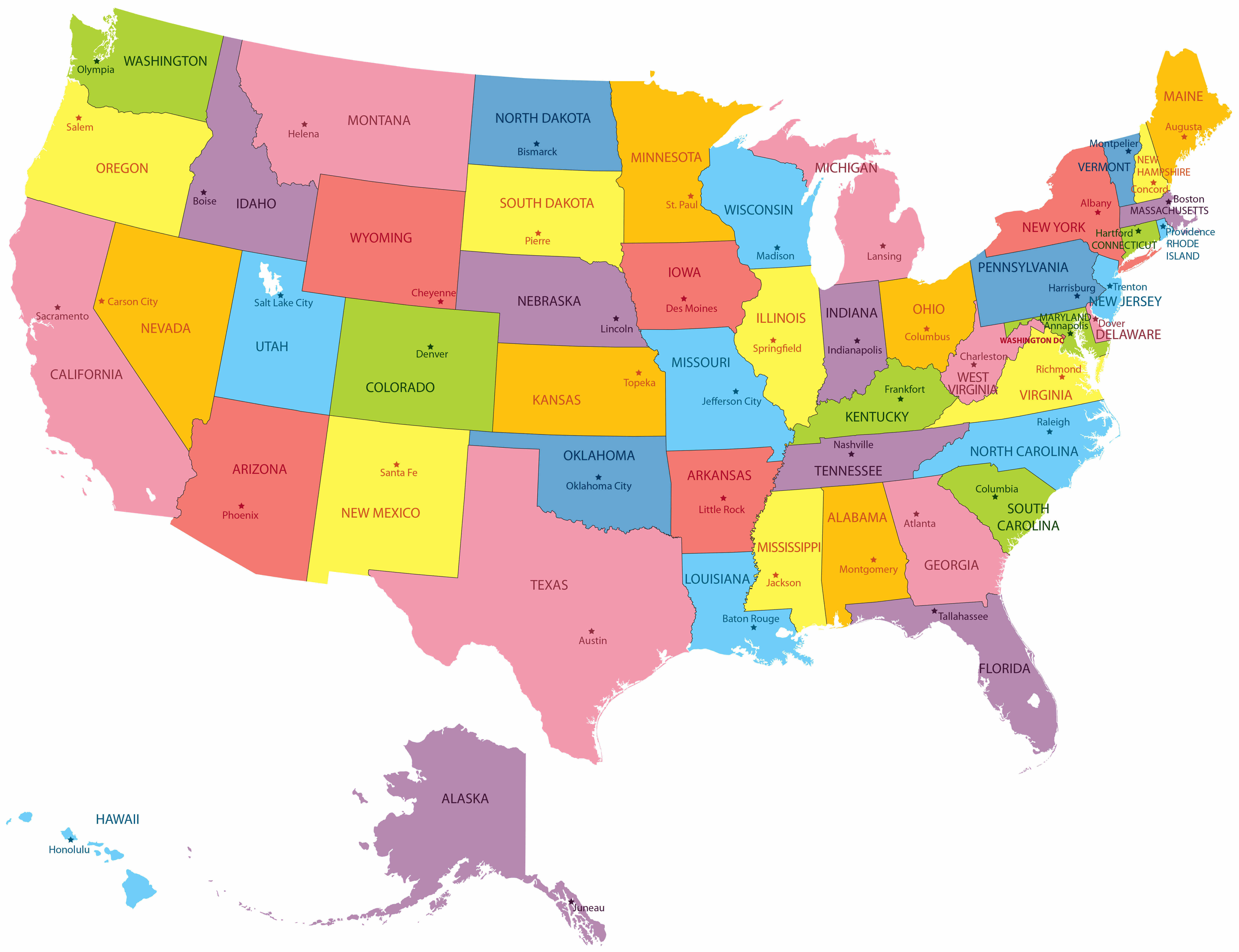
United States political map with Hawaii and Alaska
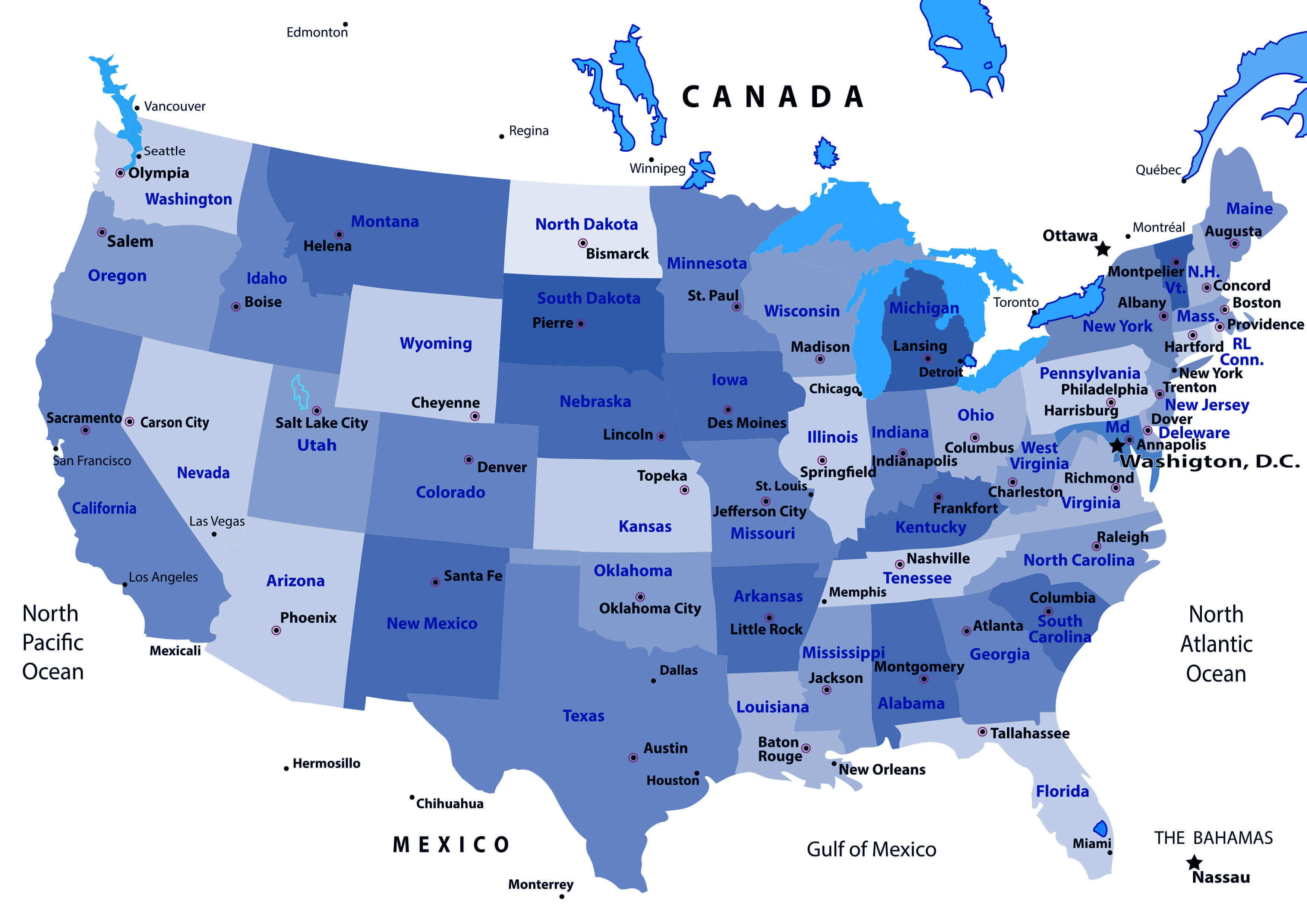
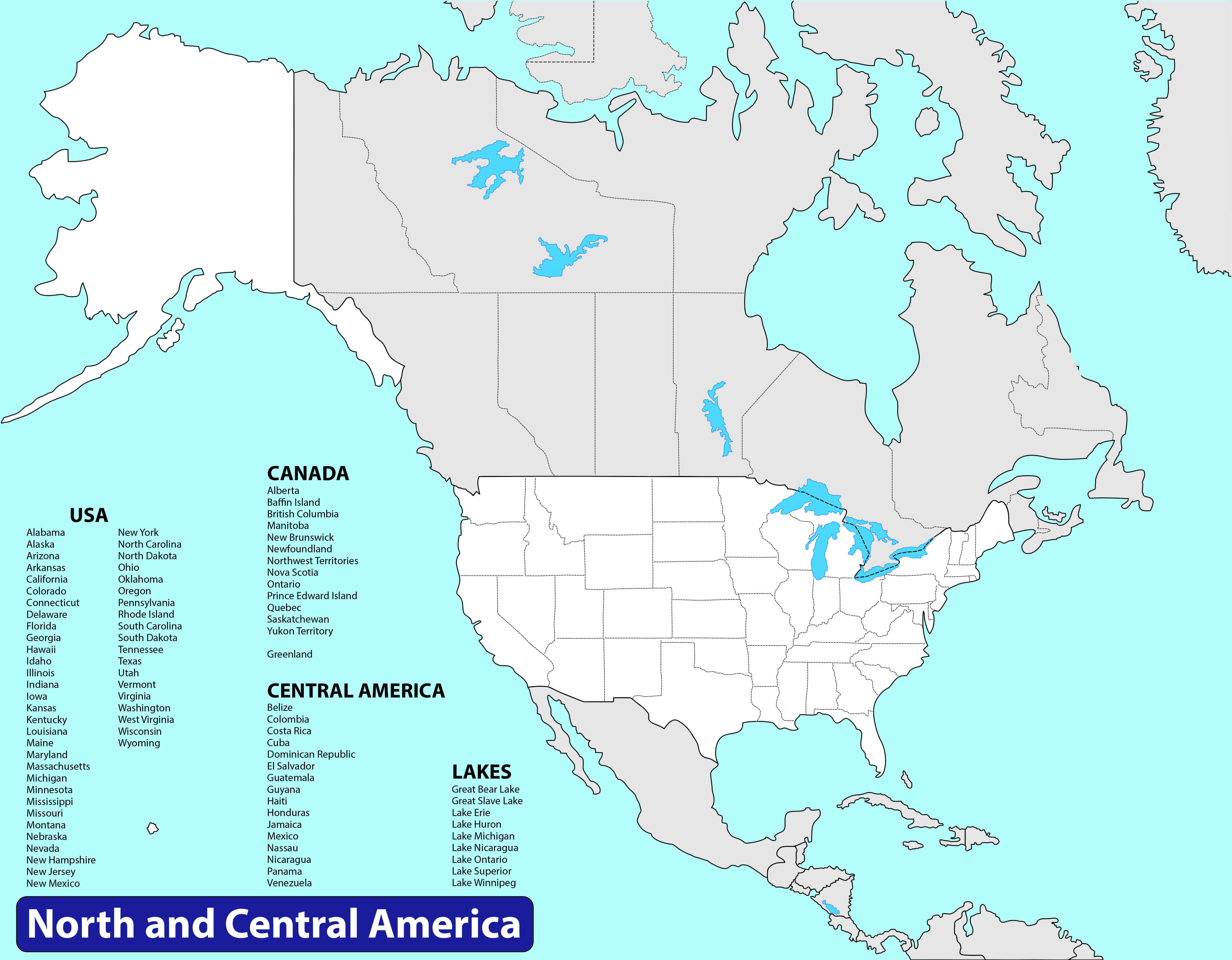
United States political map with north america and Central America
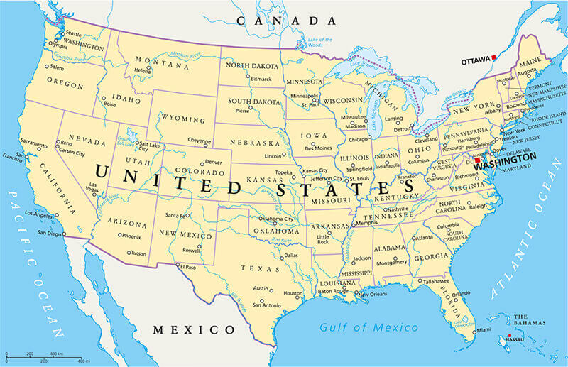
United States political map with rivers
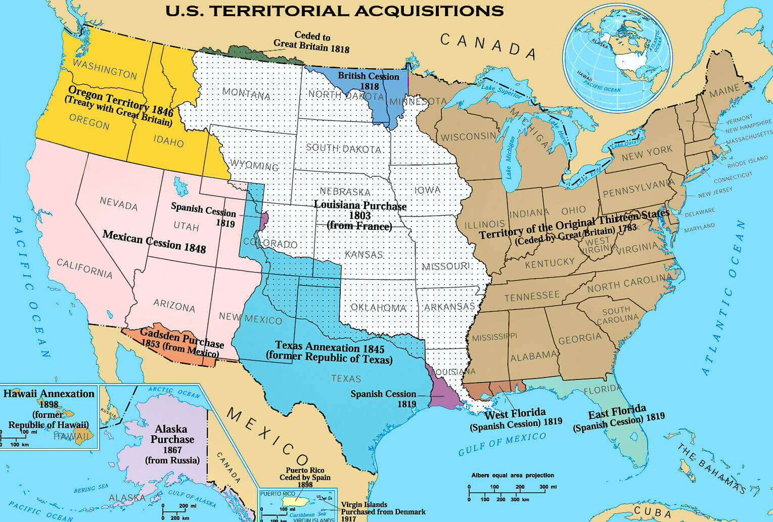
United States political territorial acquisitions map
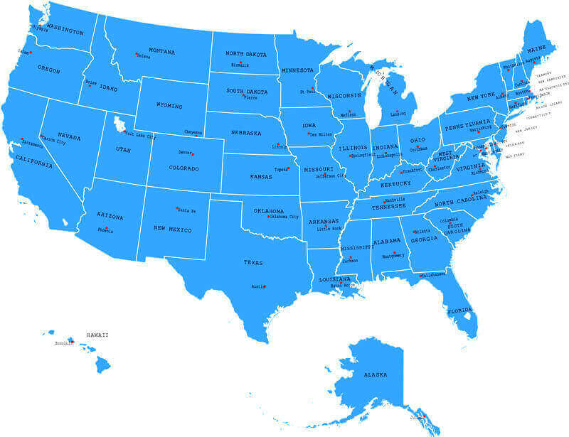
United States states map with capitals
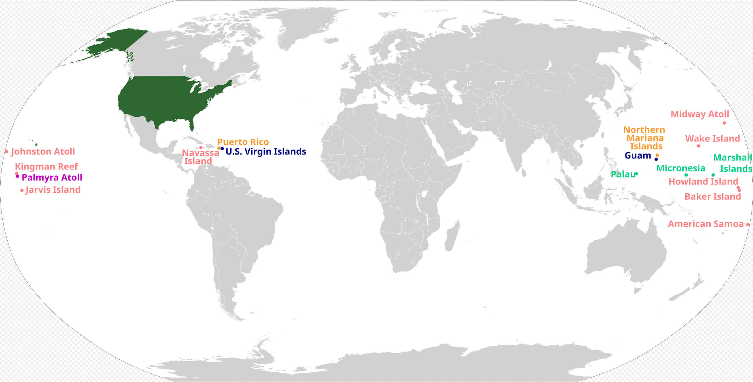
United States territories map around the World
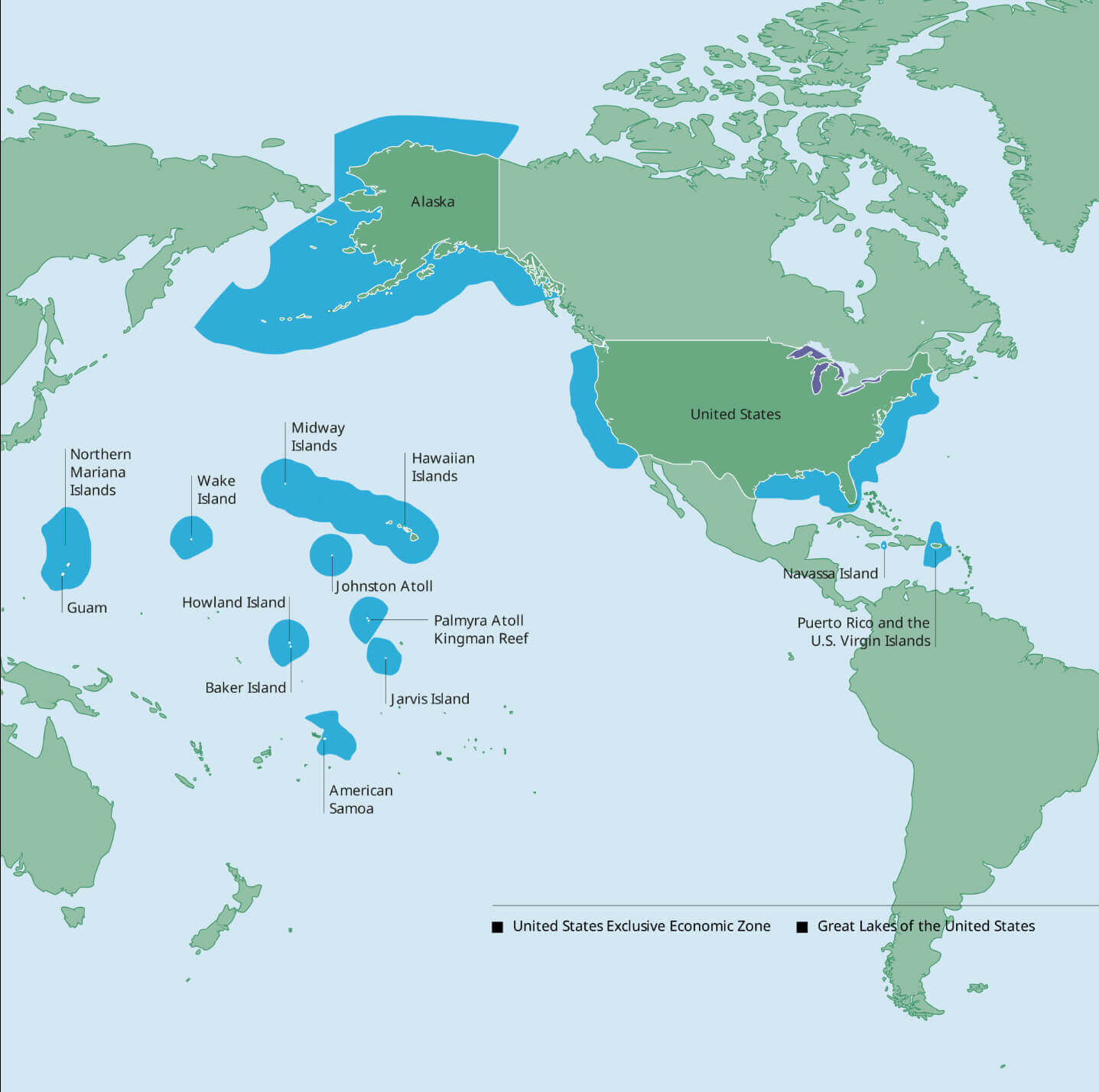
United States exclusive economic zone map
Where is United States on the World map
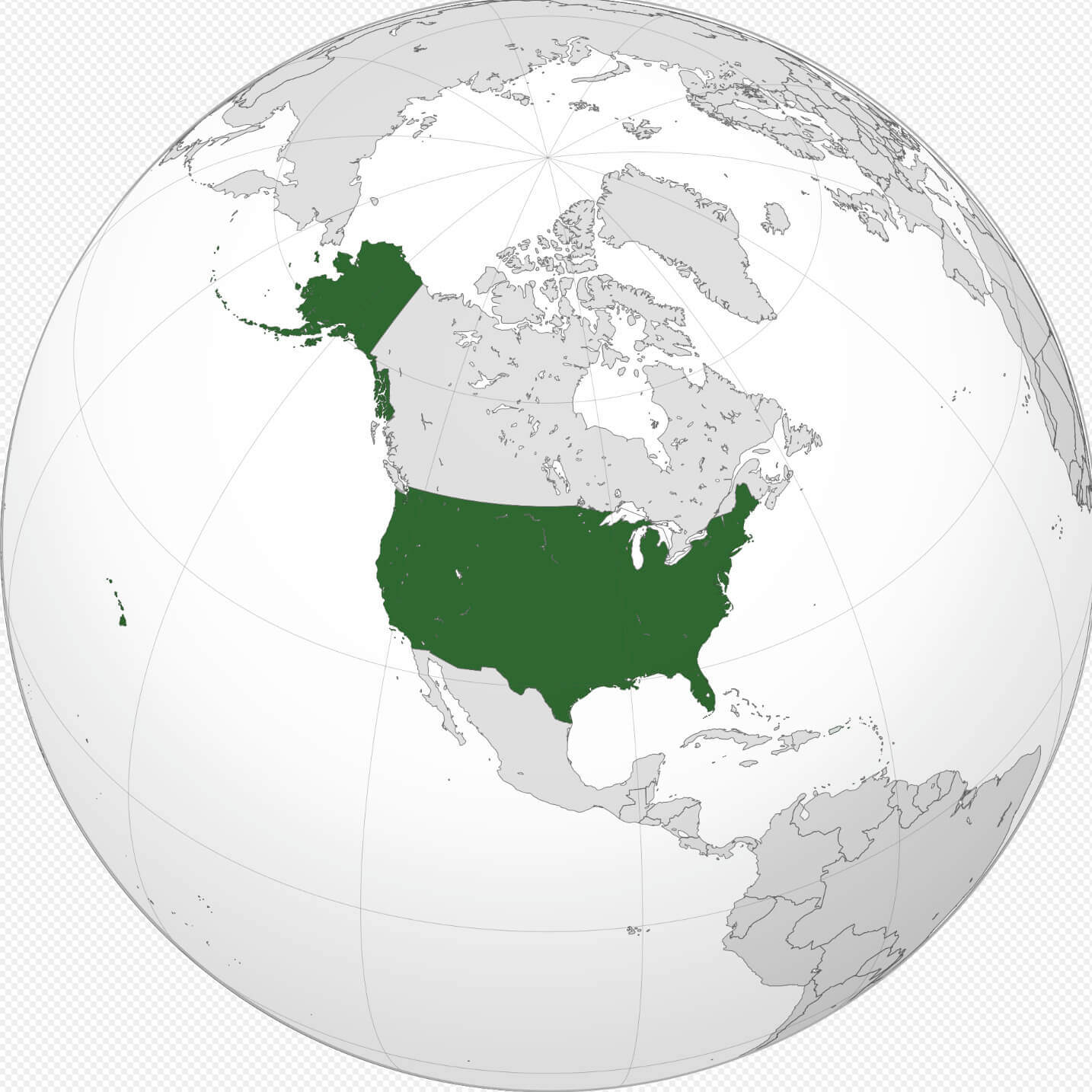
Where is the United States on the World Map?
Show Google map, satellite map, where is the country located.
Get directions by driving, walking, bicycling, public transportation and travel with street view.
Feel free to explore US states maps:
- United States Map ↗️
- US Maps ↗️
- United States Maps ↗️
- Map of United States ↗️
- US States Map ↗️
- United States States Map ↗️
- Political Map of the US ↗️
- US High-resolution Map ↗️
- US Physical Map ↗️
- United States Physical Map ↗️
- United States High-resolution Map ↗️
- US Population Map ↗️
- United States Population Map ↗️
- US Time Zone Map ↗️
- US Blank Map ↗️
- United States Blank Map ↗️
- Gulf of America (The Gulf of Mexico) Map ↗️
- United States Time Zone Map ↗️
- United States Cities Map ↗️
- California Time Zone Map ↗️
- Texas Time Zone Map ↗️
- New York Time Zone Map ↗️
- Florida Time Zone Map ↗️
- California Map ↗️
- US Cities Map ↗️
- Texas Map ↗️
- New York Map ↗️
- Florida Map ↗️
- Illinois Map ↗️
- Pennsylvania Map ↗️
- Ohio Map ↗️
- Michigan Map ↗️
- Georgia Map ↗️
- New Jersey Map ↗️
- North Carolina Map ↗️
- Virginia Map ↗️
- Massachusetts Map ↗️
- North America Map ↗️
- Advertisement -
