- Advertisement -
Find comprehensive Texas county maps including GDP, population, ethnic groups, cities, urban areas, income, and interstate roads. View Texas with Indian territory, Mexico border, and all county seats in one place.
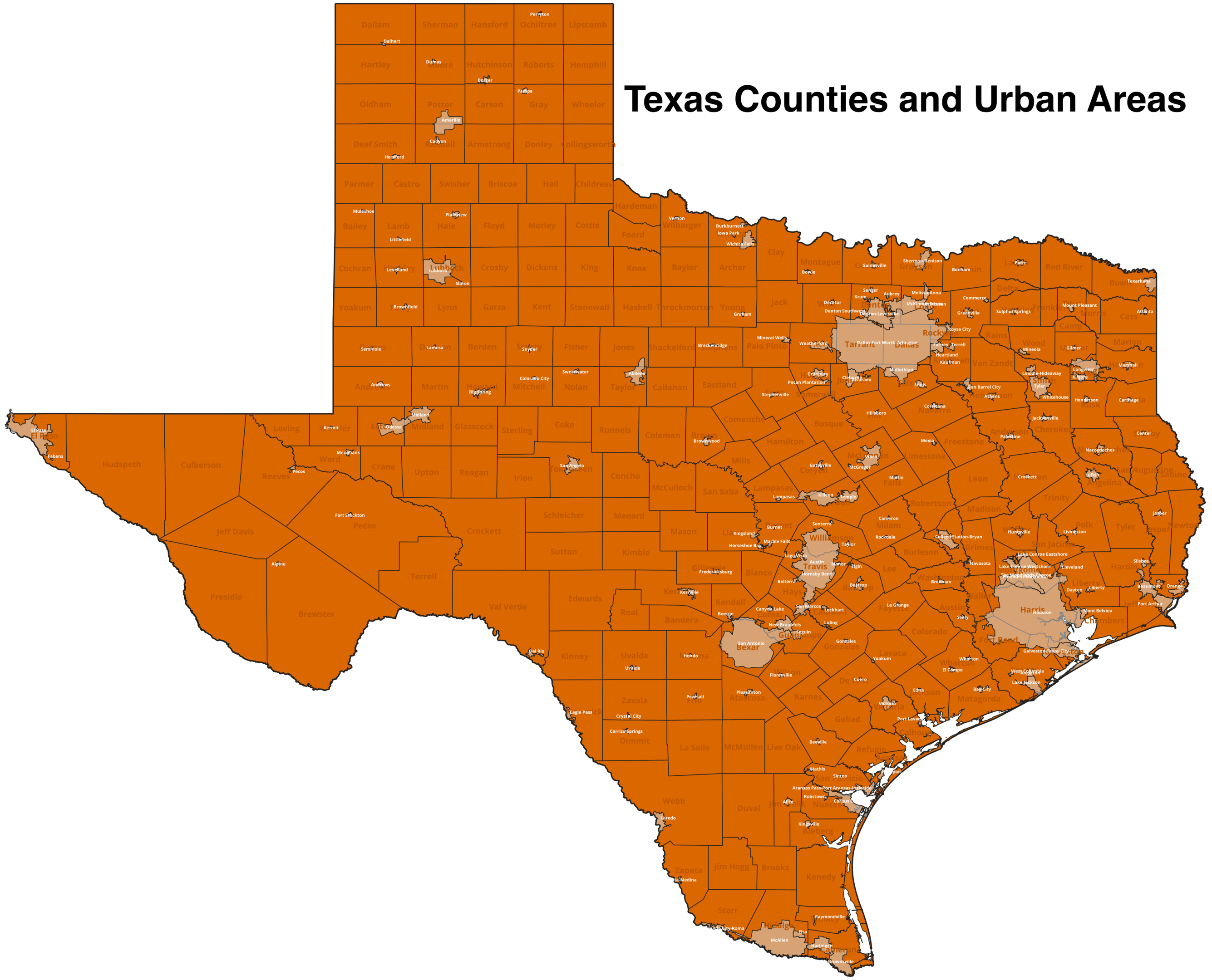
Texas County Map with Names and Borders

Texas Counties Map in the United States with Regional Highlights
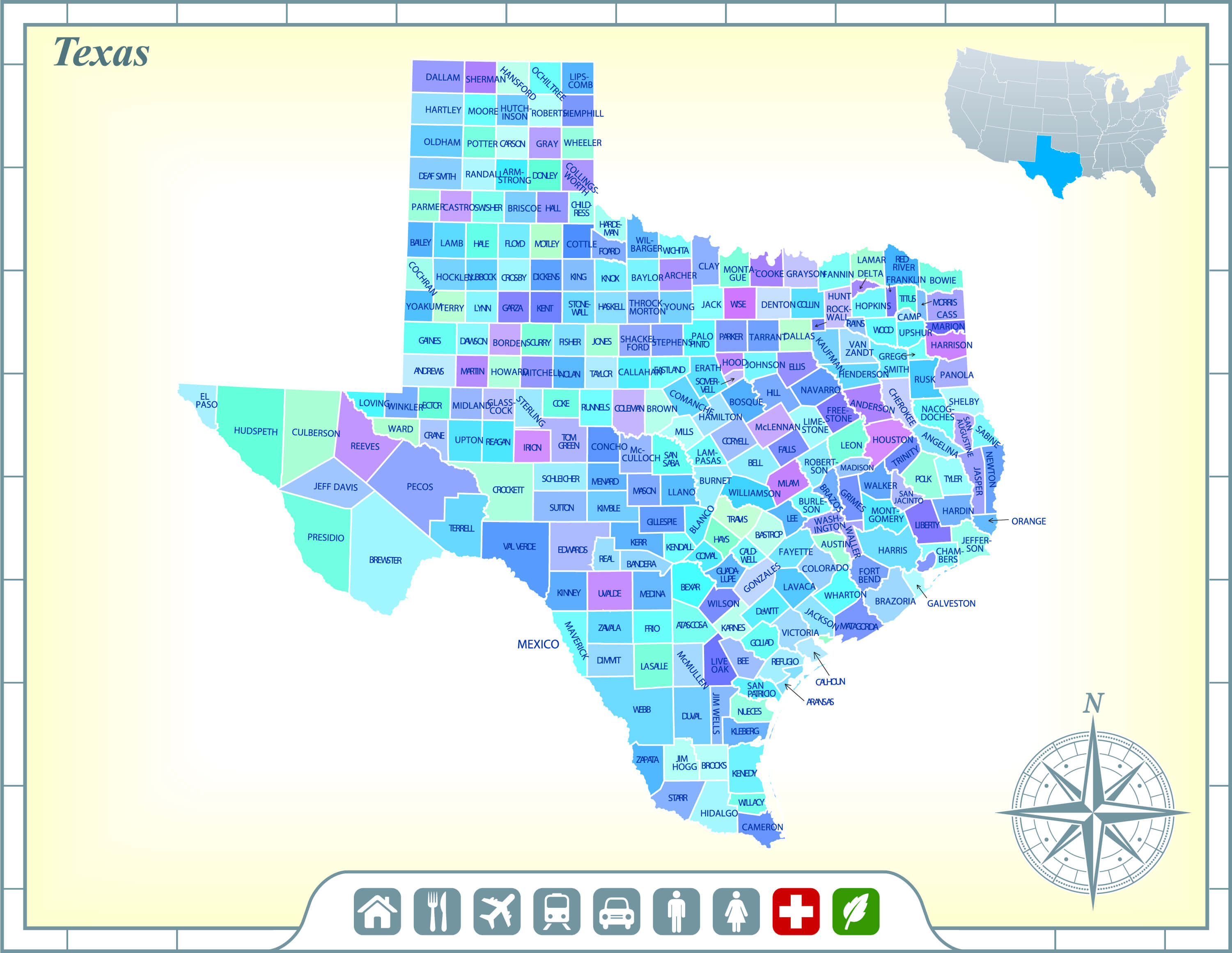 Color-coded Texas counties map with names and US location inset.
Counties map of Texas
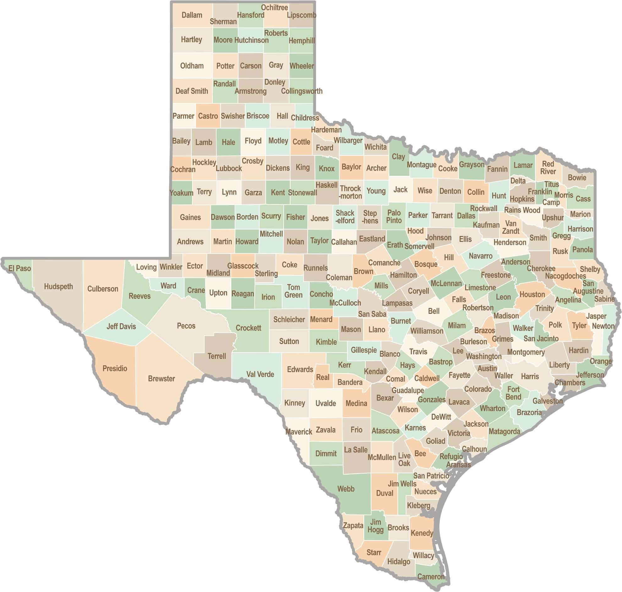
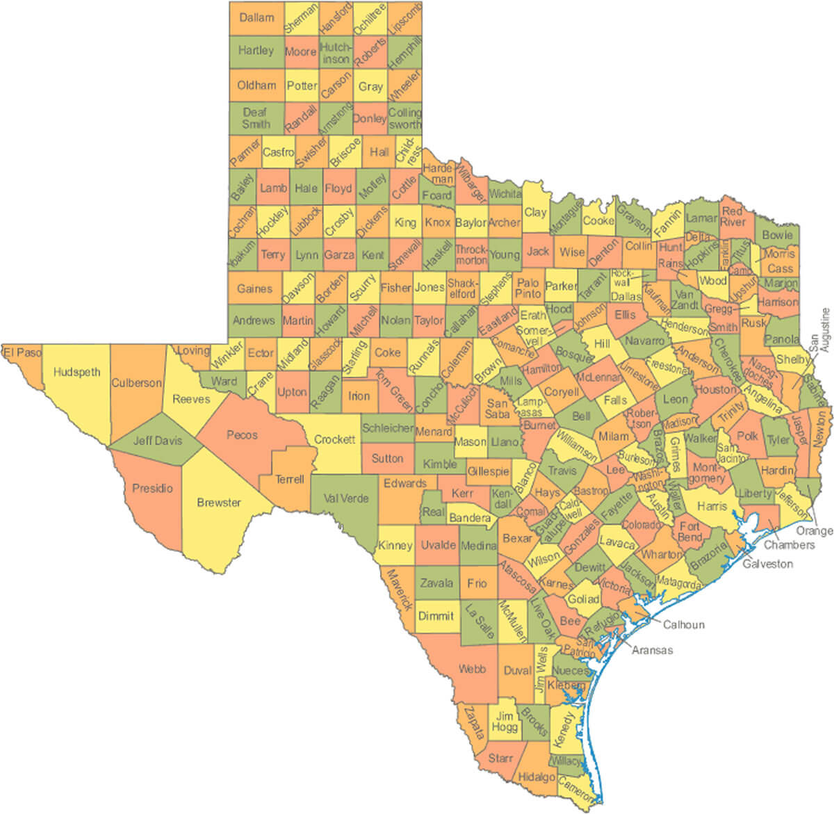
County map of Texas
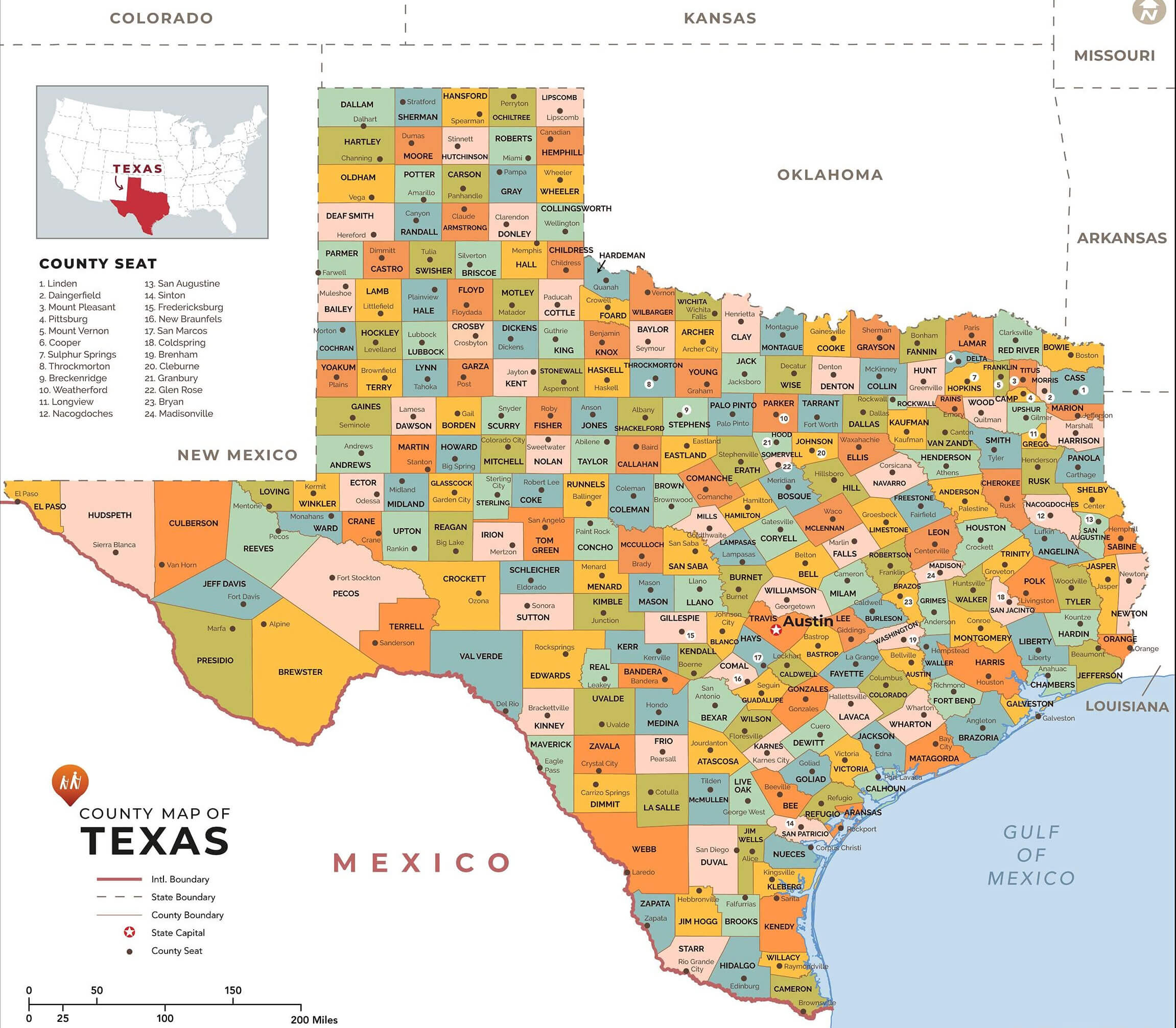
Map of counties in Texas by racial and ethnic plurality
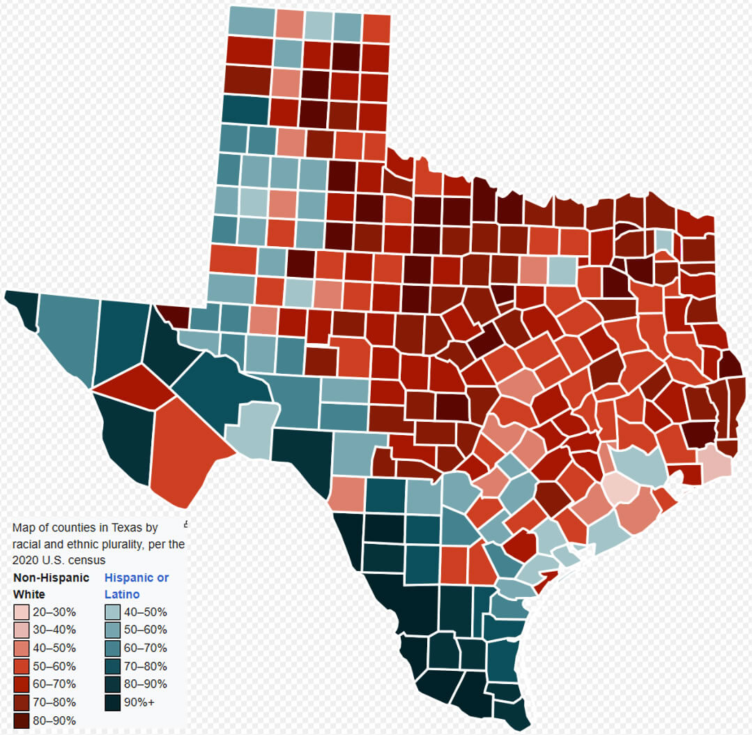
Map of county with Texas cities
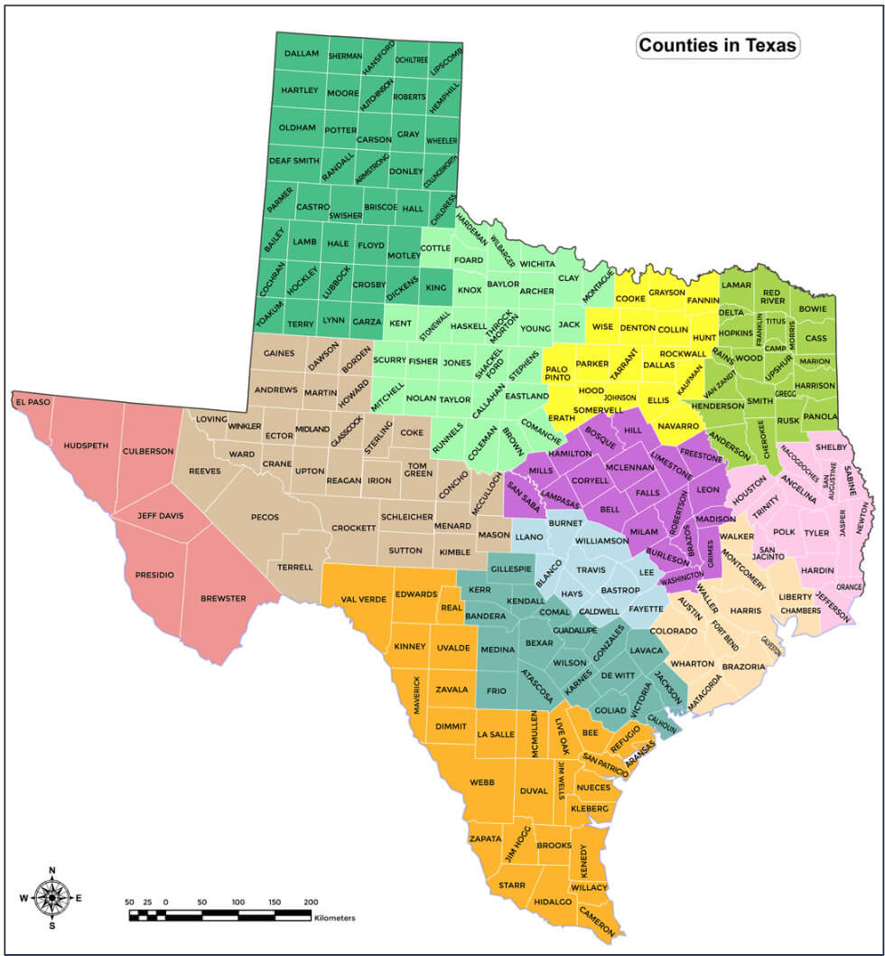
County map of Texas with indian territory
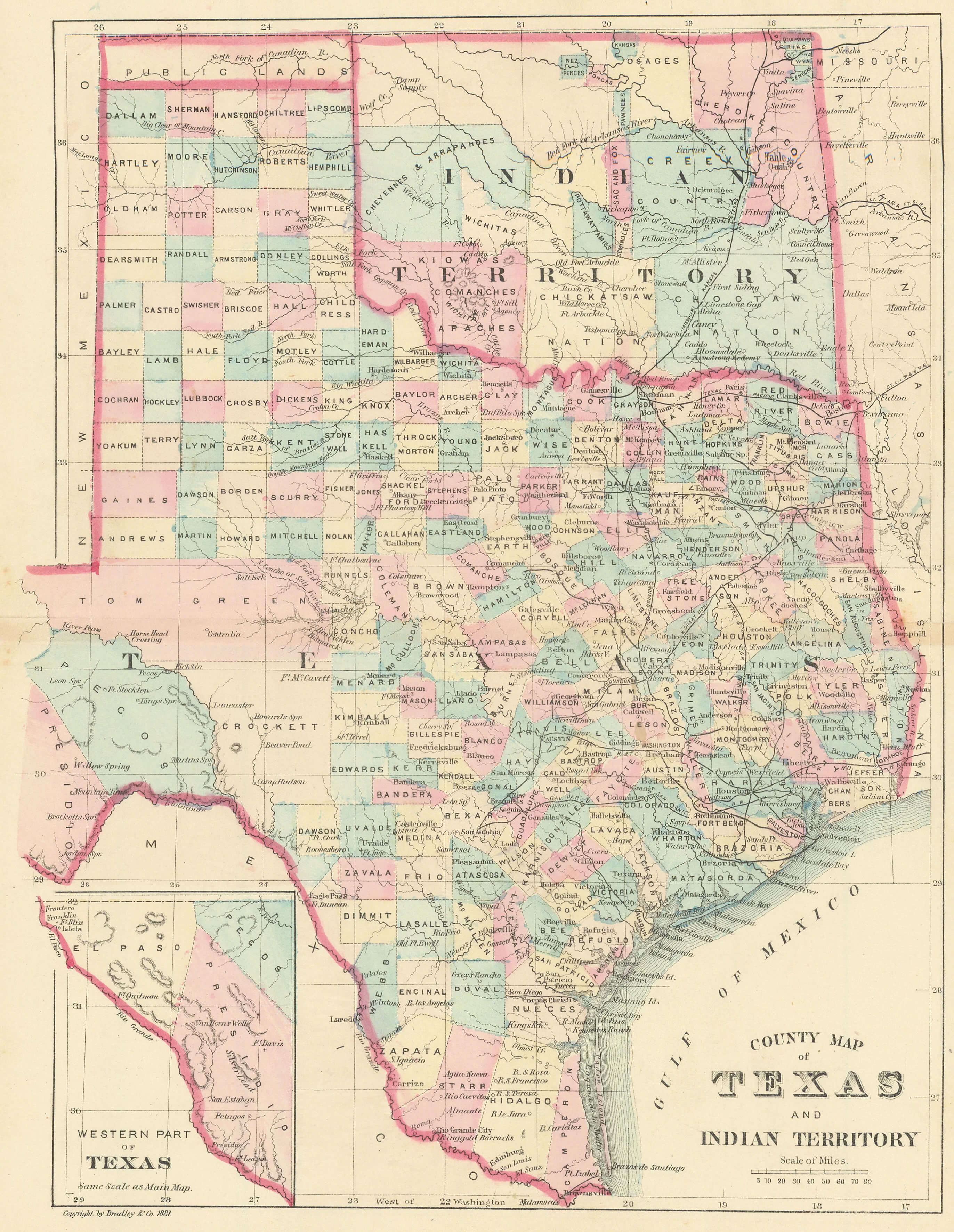
Texas blank map with counties
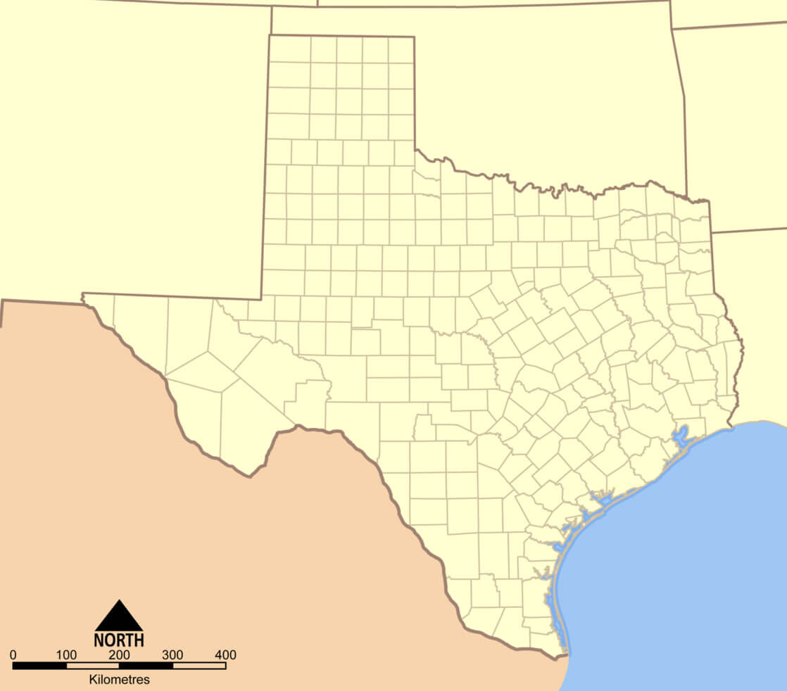
Texas counties and urban areas map
Texas counties map by GDP
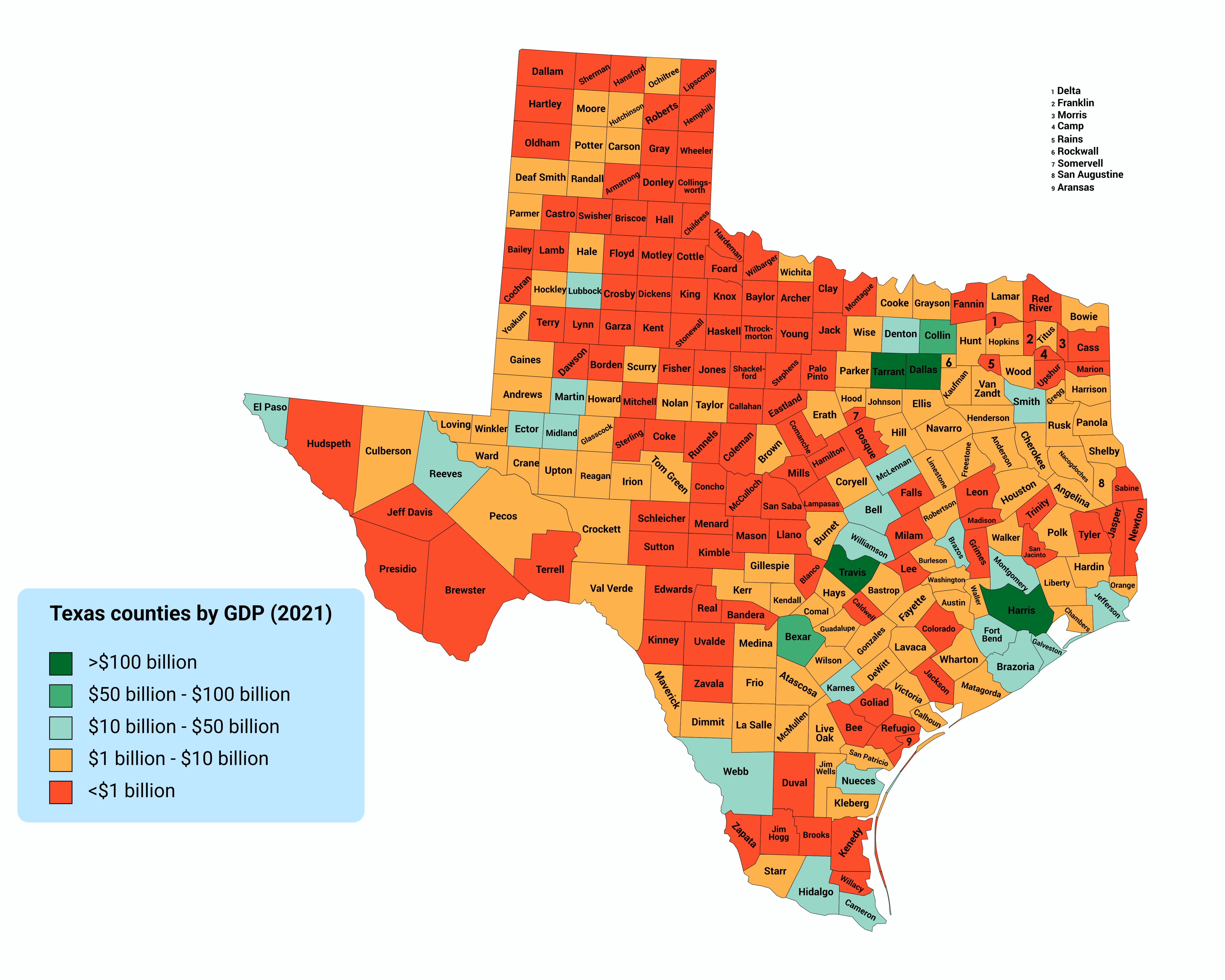
Texas counties map in the US
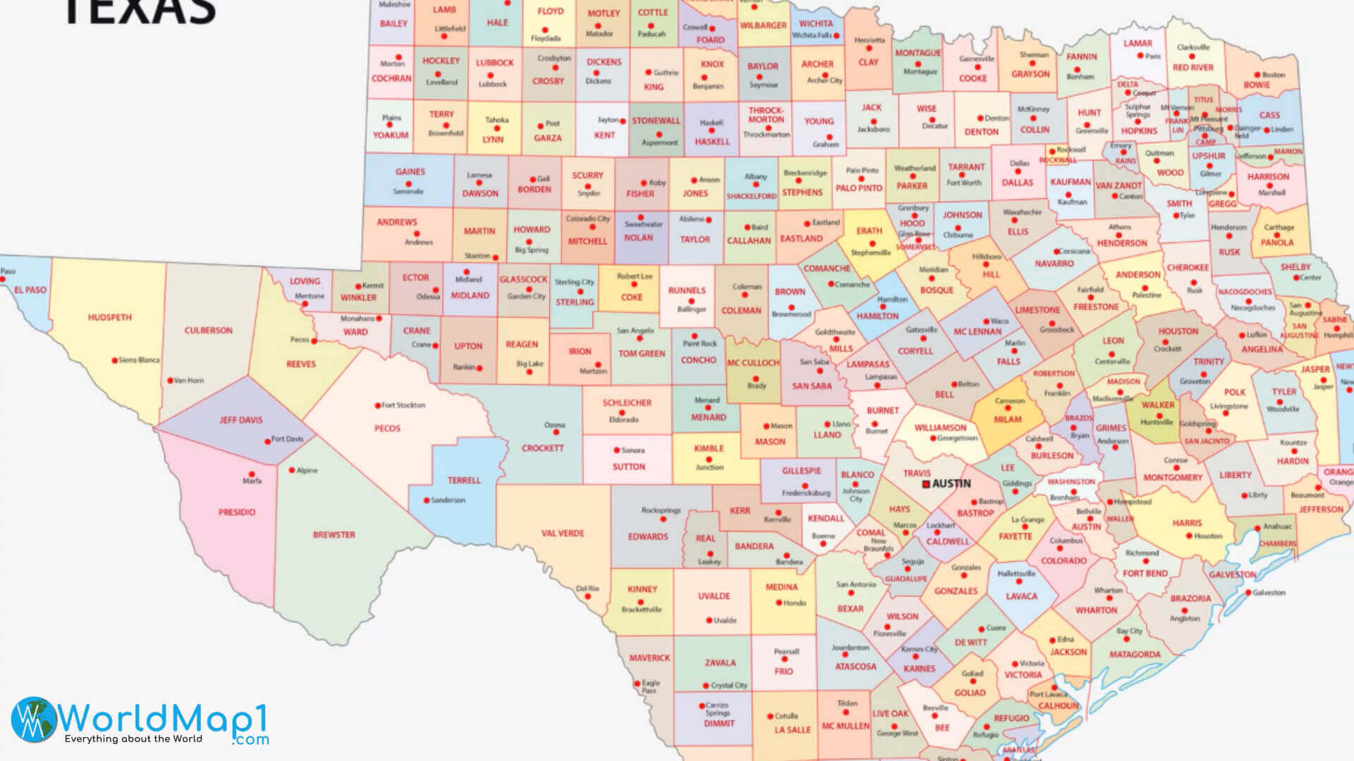
Texas counties map with largest cities
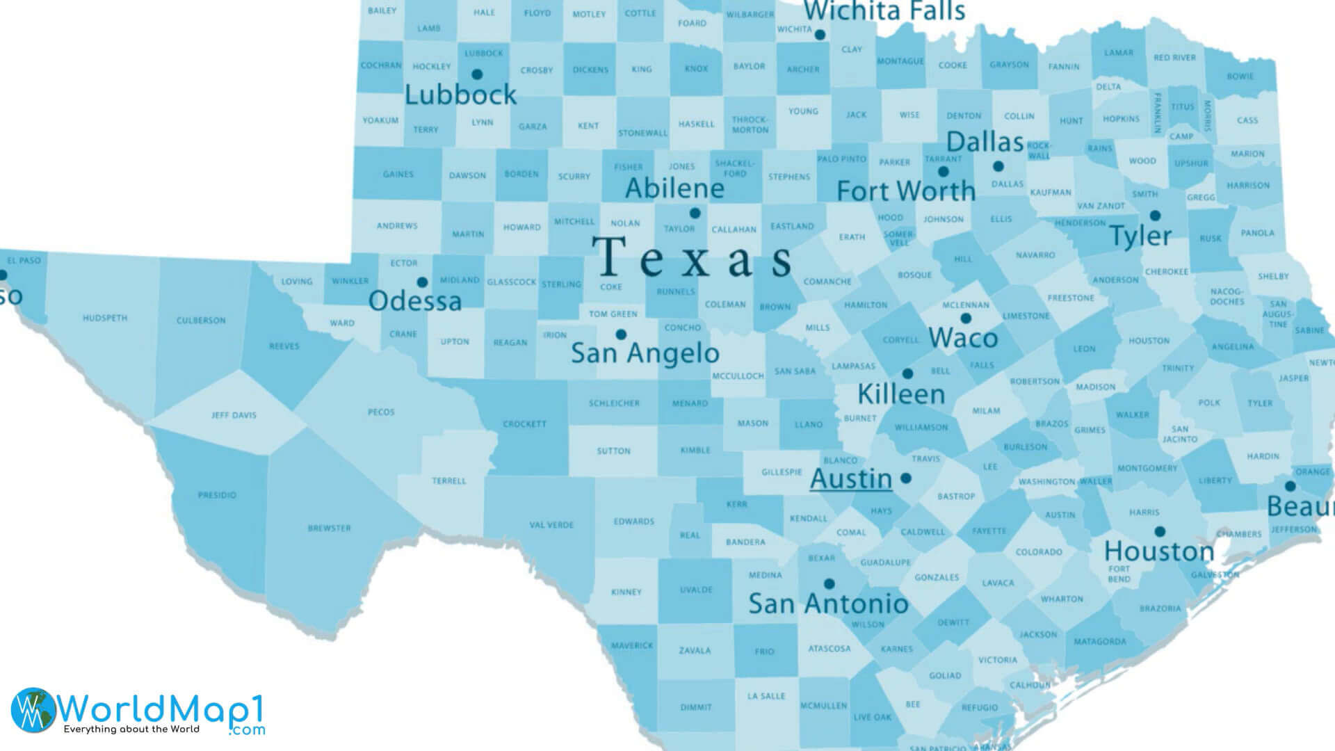
Texas counties population density map
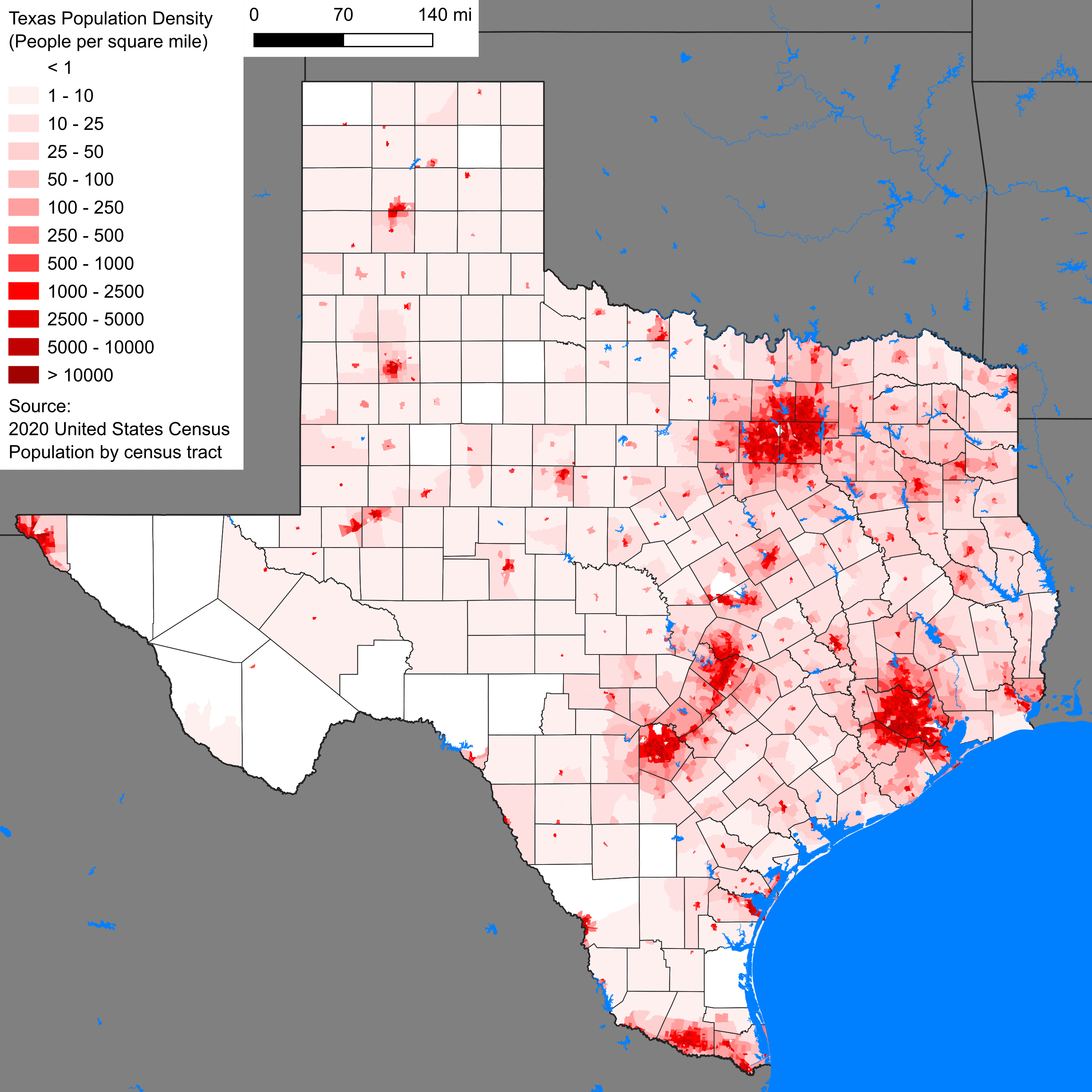
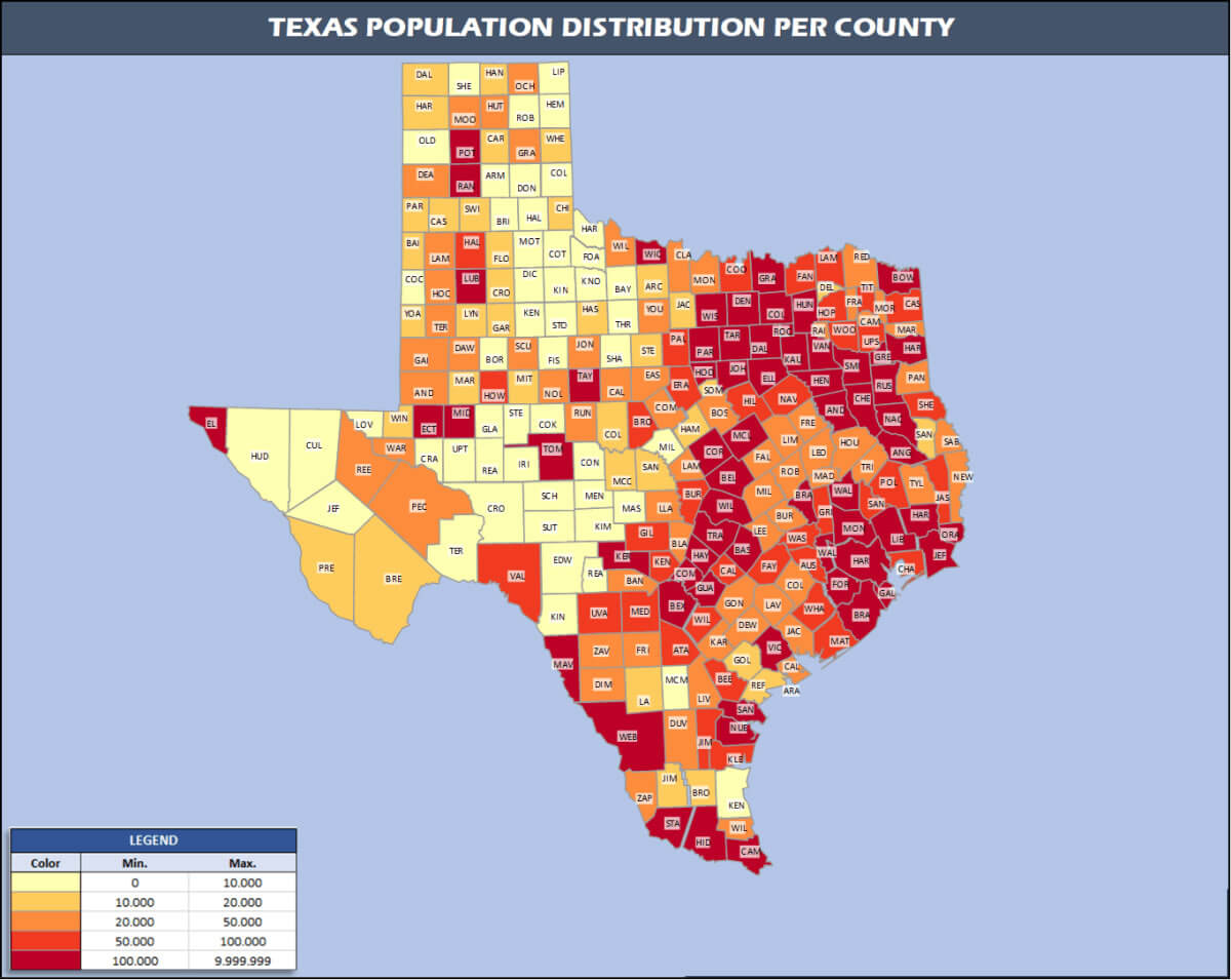
Texas counties population map
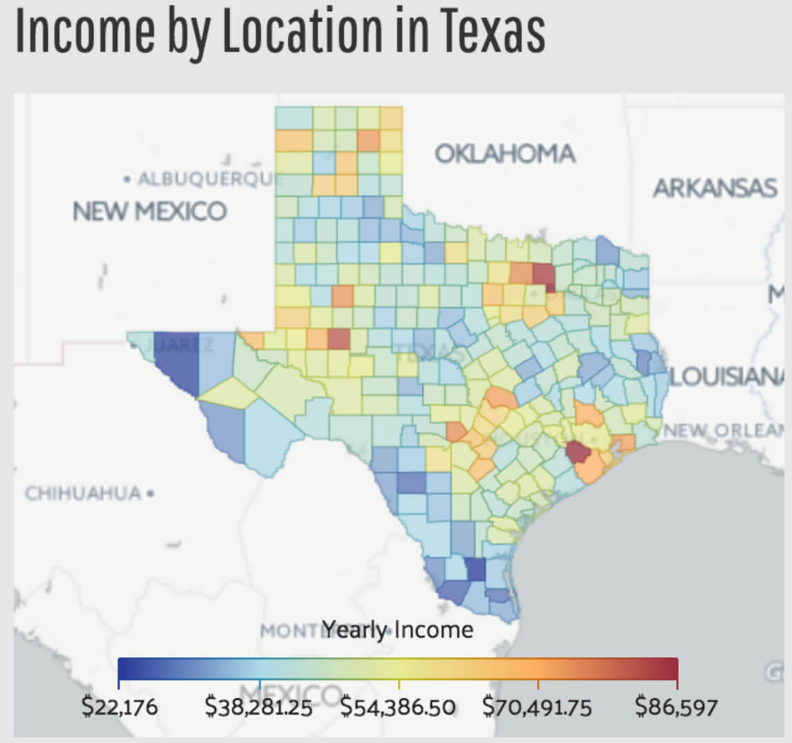
Texas county income map by locations
Texas county map in the US
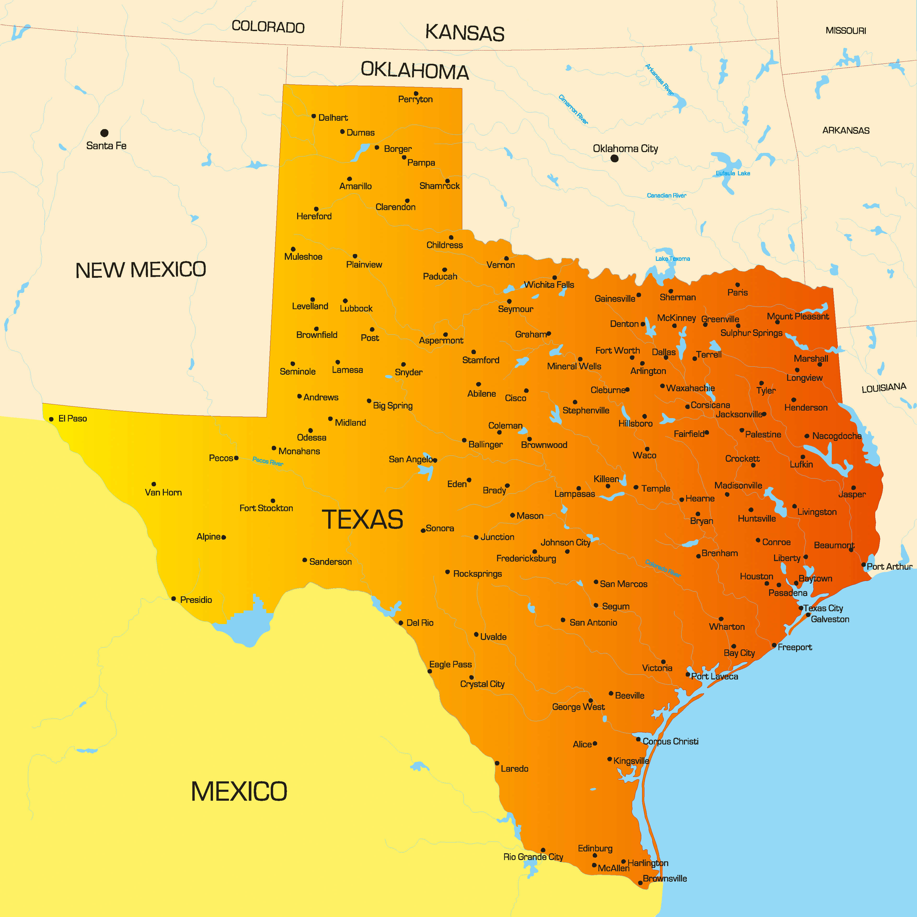
Texas county map with cities
Texas county map with interstate roads
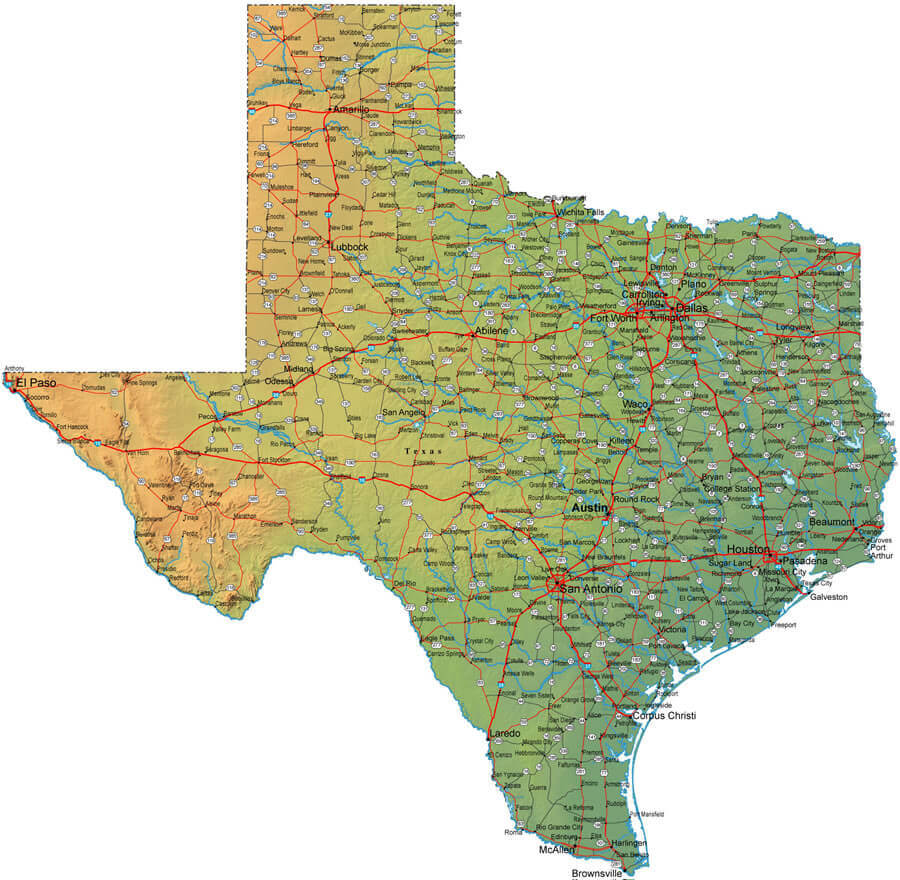
Texas county map with Mexico and New Mexico border
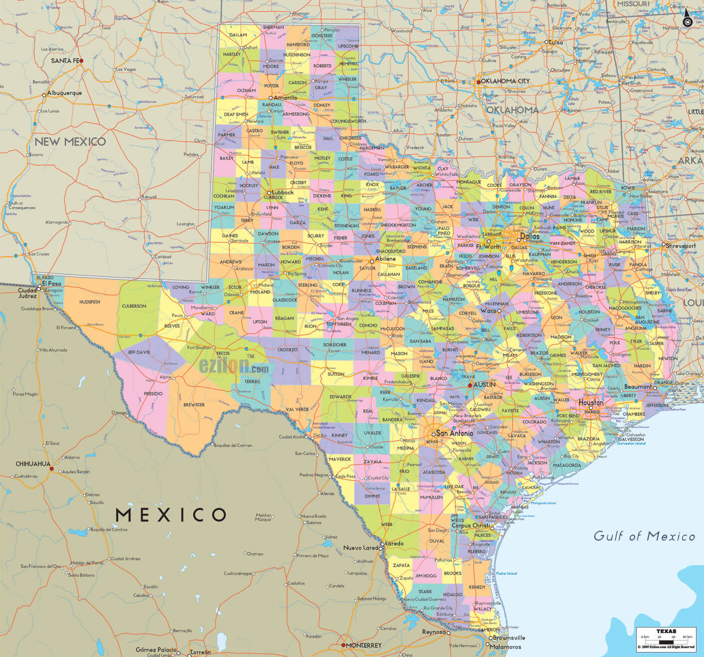
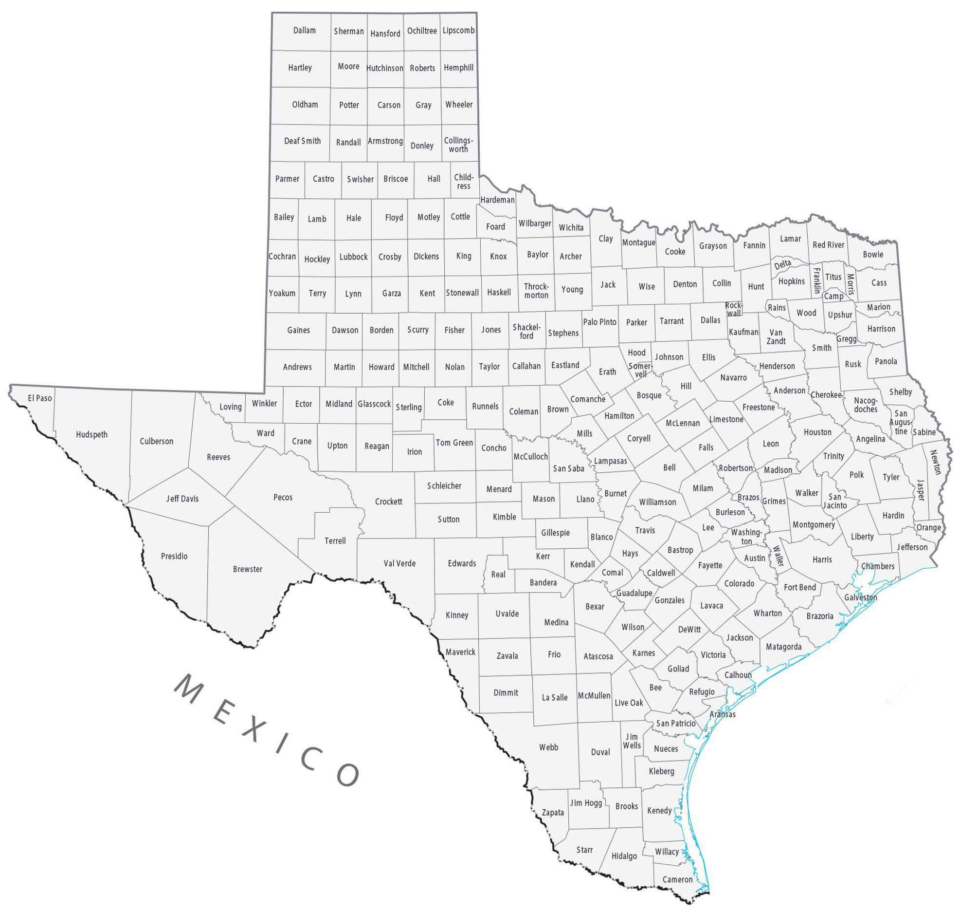
Texas county outline map
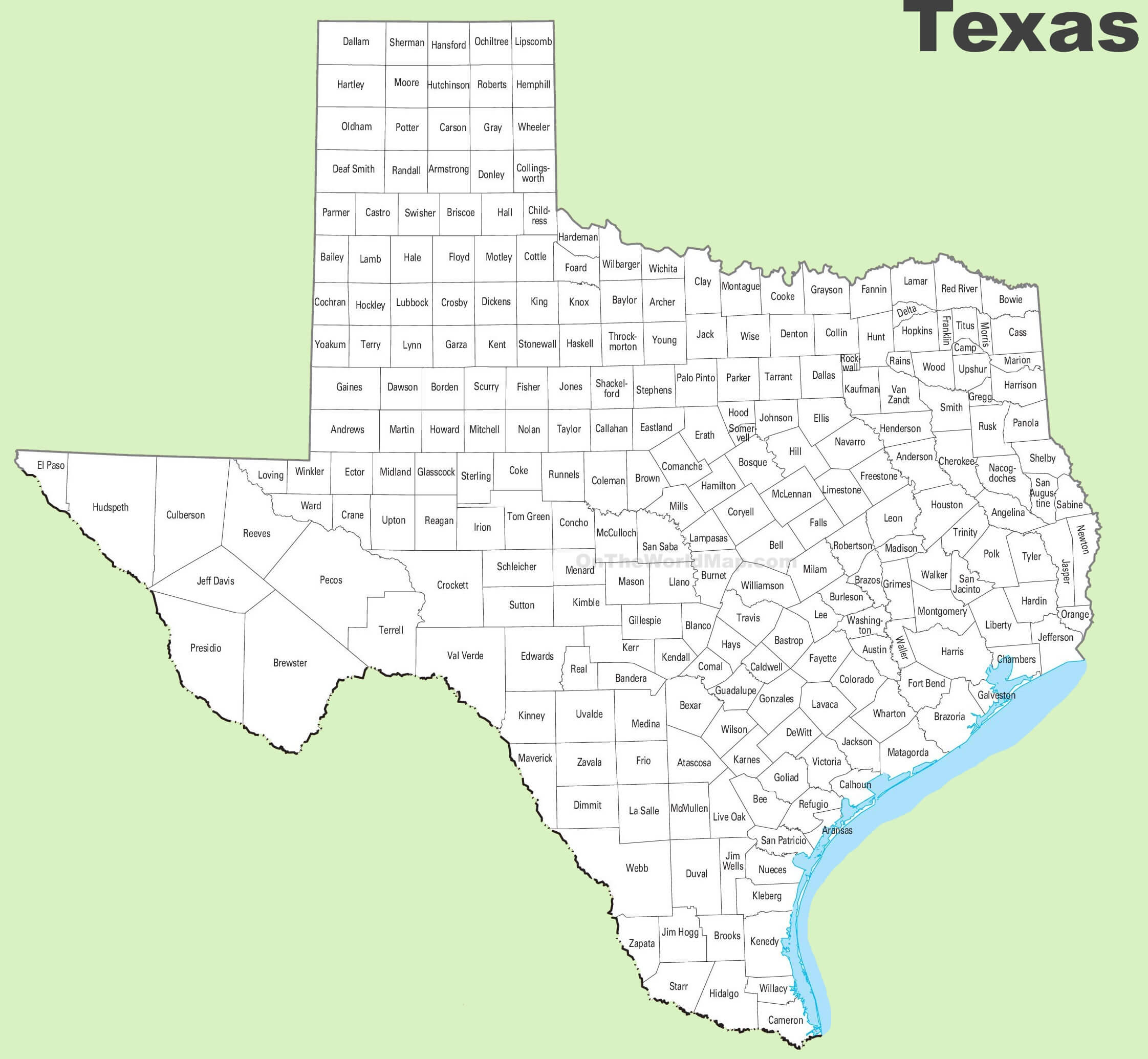
Texas county seats map
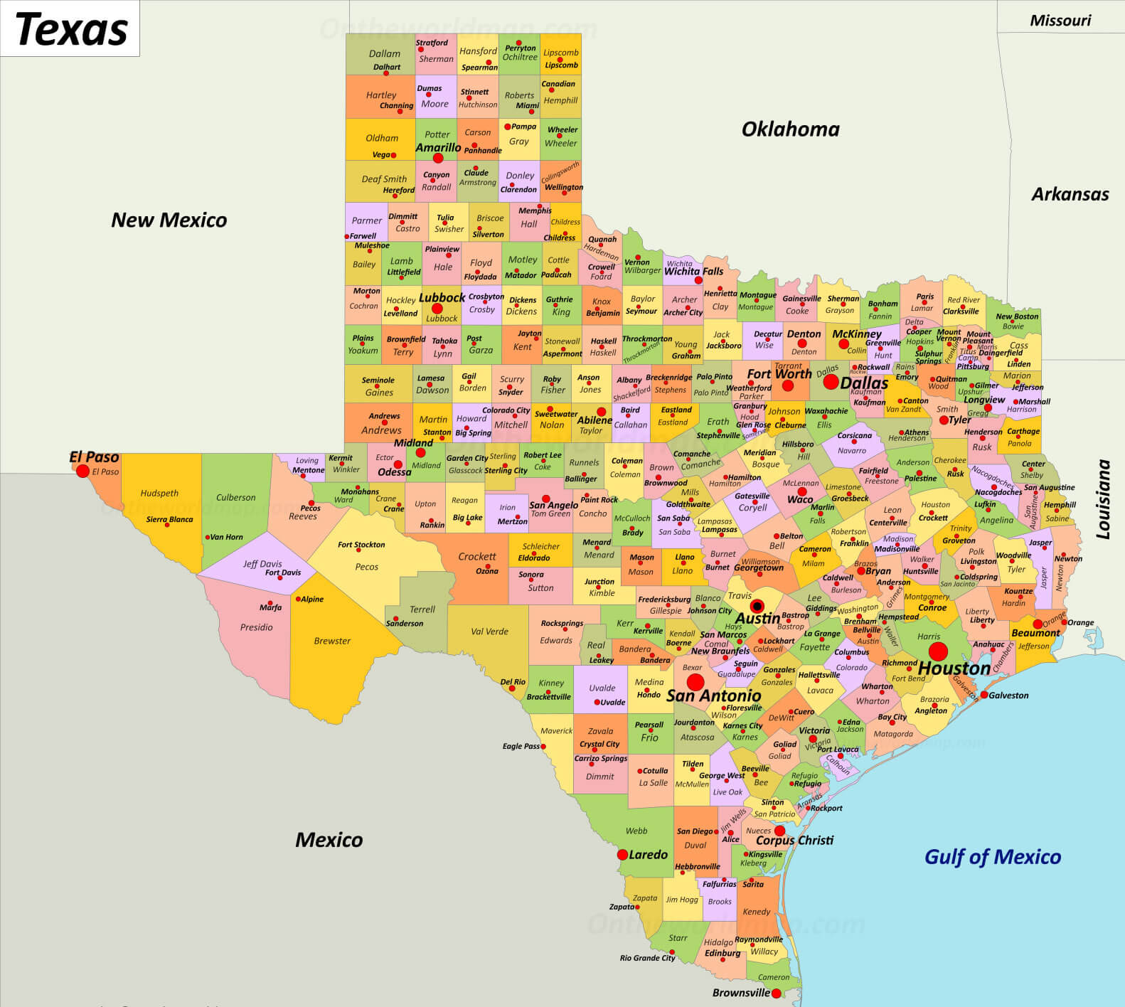
Texas districts and counties wall map
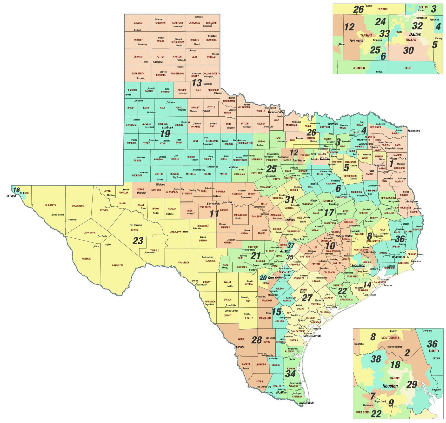
Texas outlined map with counties
Where is Texas on the US Map?
Show Google map, satellite map, where is the country located.
Get directions by driving, walking, bicycling, public transportation and travel with street view.
Feel free to explore these pages as well:
- Texas Cities Map ↗️
- Texas Time Zone Map ↗️
- Map of United States ↗️
- Map of Texas ↗️
- Texas Map ↗️
- Texas Photos ↗️
- North America Earth Map ↗️
- Map of North America ↗️
- Discovering Austin: The Heartbeat of Texas ↗️
- Arlington, Texas: A Hidden Gem in the Lone Star State ↗️
- A Guide to the Houston’s Top 10 Best Attractions ↗️
- Advertisement -
