- Advertisement -
Poland has a population of 38,186,860 people, Poland’s largest city Warsaw is the capital city of Poland.
Poland’s personnel income per capita is $13,540, the jobless rate is 3.75% and its currency ZÅ‚oty (PLN) . Poland’s official languages and most spoken dialects are Polish, and Kashubian.
Ethnics Groups: 91.56% Polish, 0.94% Silesian, 0.04% Kashubian, 0.07% German, 0.07% Ukrainian, 0.08% Belarusian, 7.24% Other.
A Collection of Poland Photos
Wawel Castle in Cracow, Poland
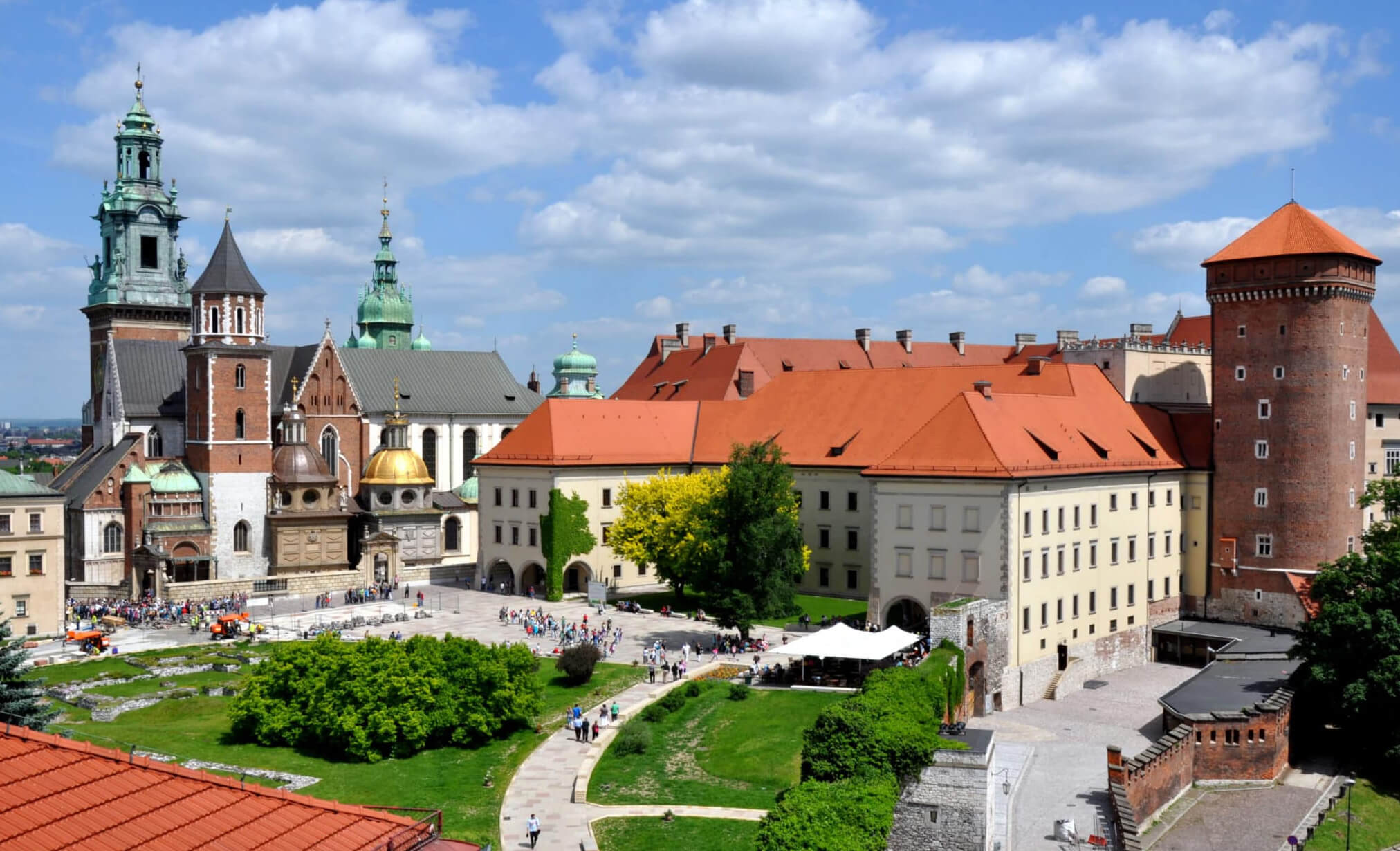
Krakow, Poland
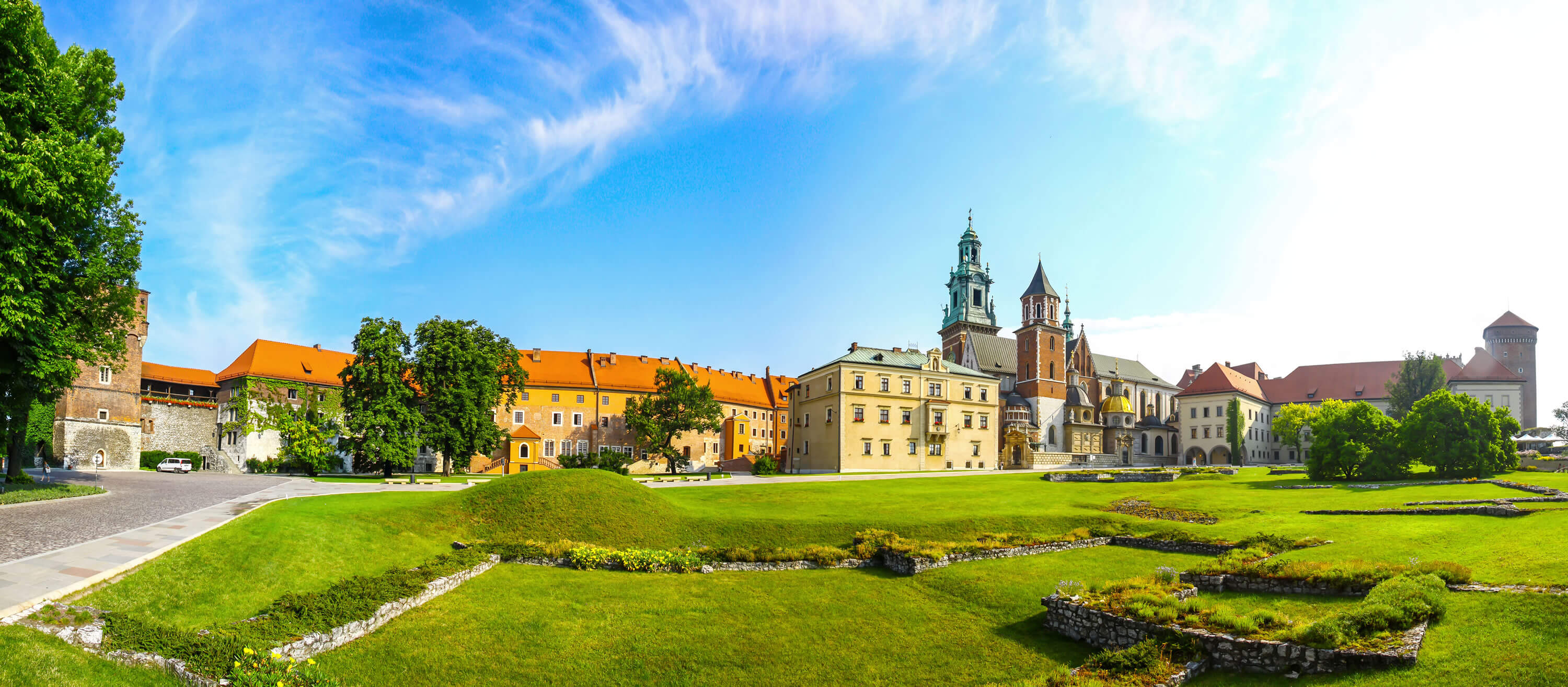
Picturesque panoramic view of Wawel Royal Castle complex in Krakow, Poland. It is the most historically and culturally important site in Poland.
Night View, Krakow, Poland
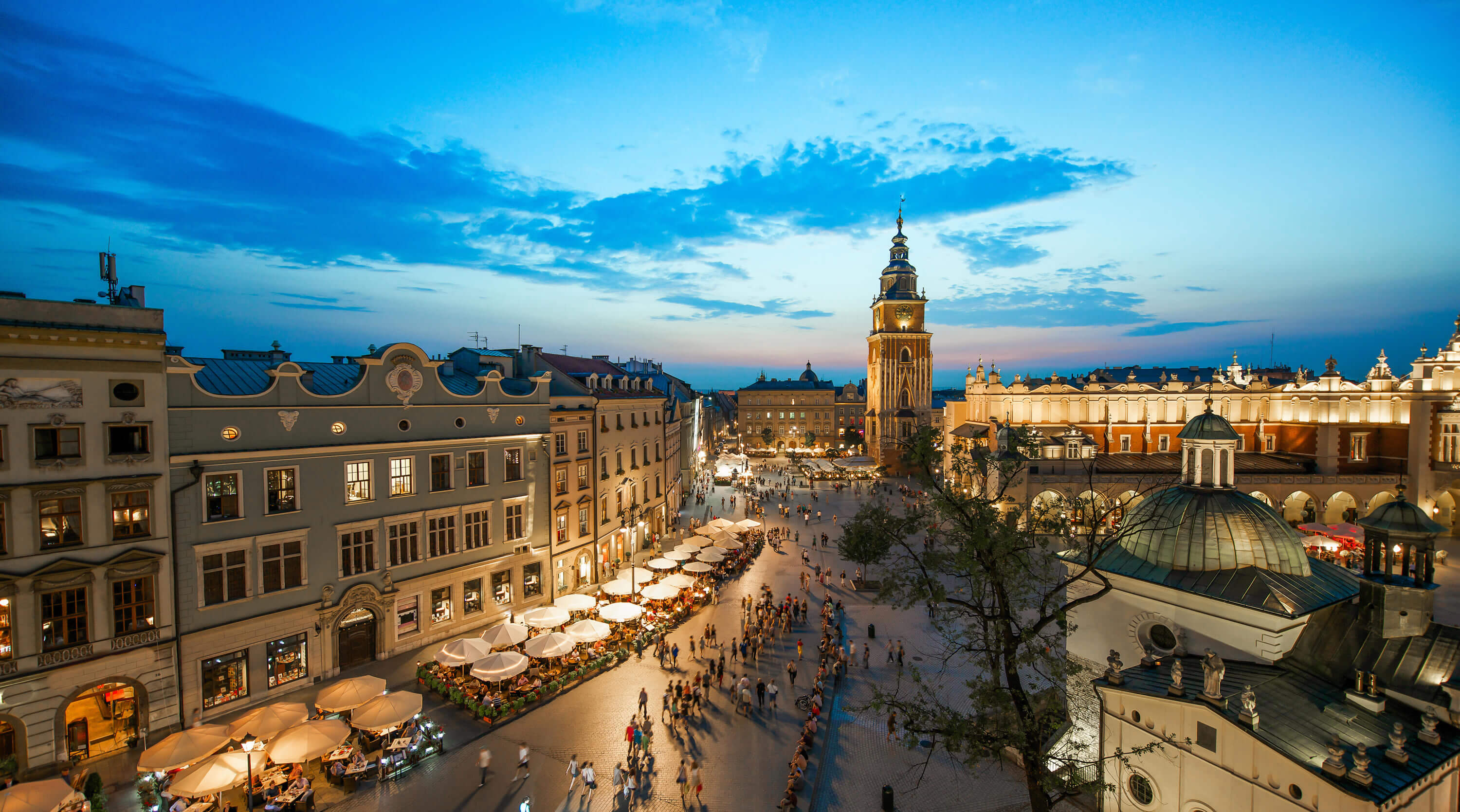
photos
Warsaw Downtown, Poland
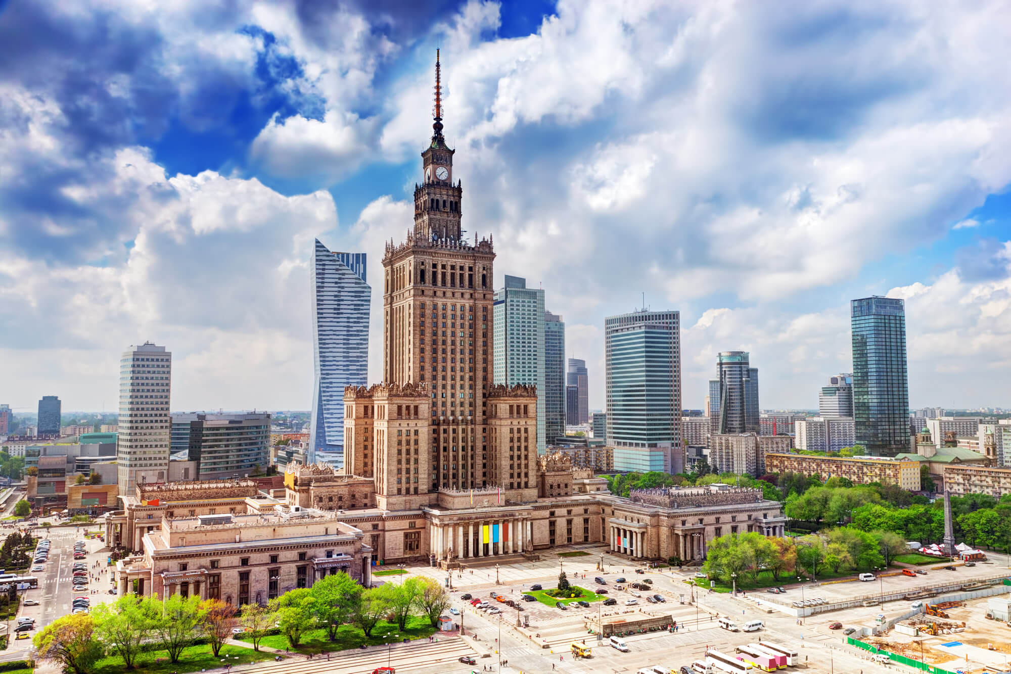
Warsaw, Poland. Aerial view Palace of Culture and Science and downtown business skyscrapers, city center.
Krakow Wawel Castle
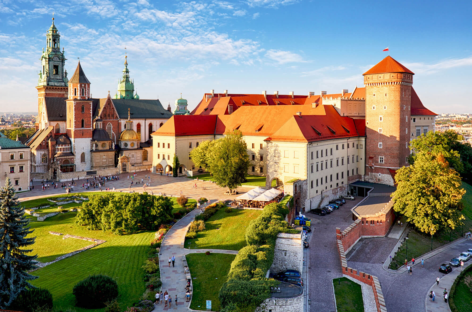
Krakow – Wawel castle at day.
Where is Poland on the Europe Map?
Show Google map, satellite map, where is the country located.
Get directions by driving, walking, bicycling, public transportation and travel with street view.
Feel free to explore these pages as well:
- Poland ↗️
- A Collection of Poland Maps ↗️
- Poland Photos ↗️
- Map of Poland ↗️
- Krakow’s Top 10 Best Attractions for Every Traveler ↗️
- A Collection of Germany Maps ↗️
- A Collection of Czechia Maps ↗️
- Europe Map ↗️
- Map of Europe ↗️
- Advertisement -
