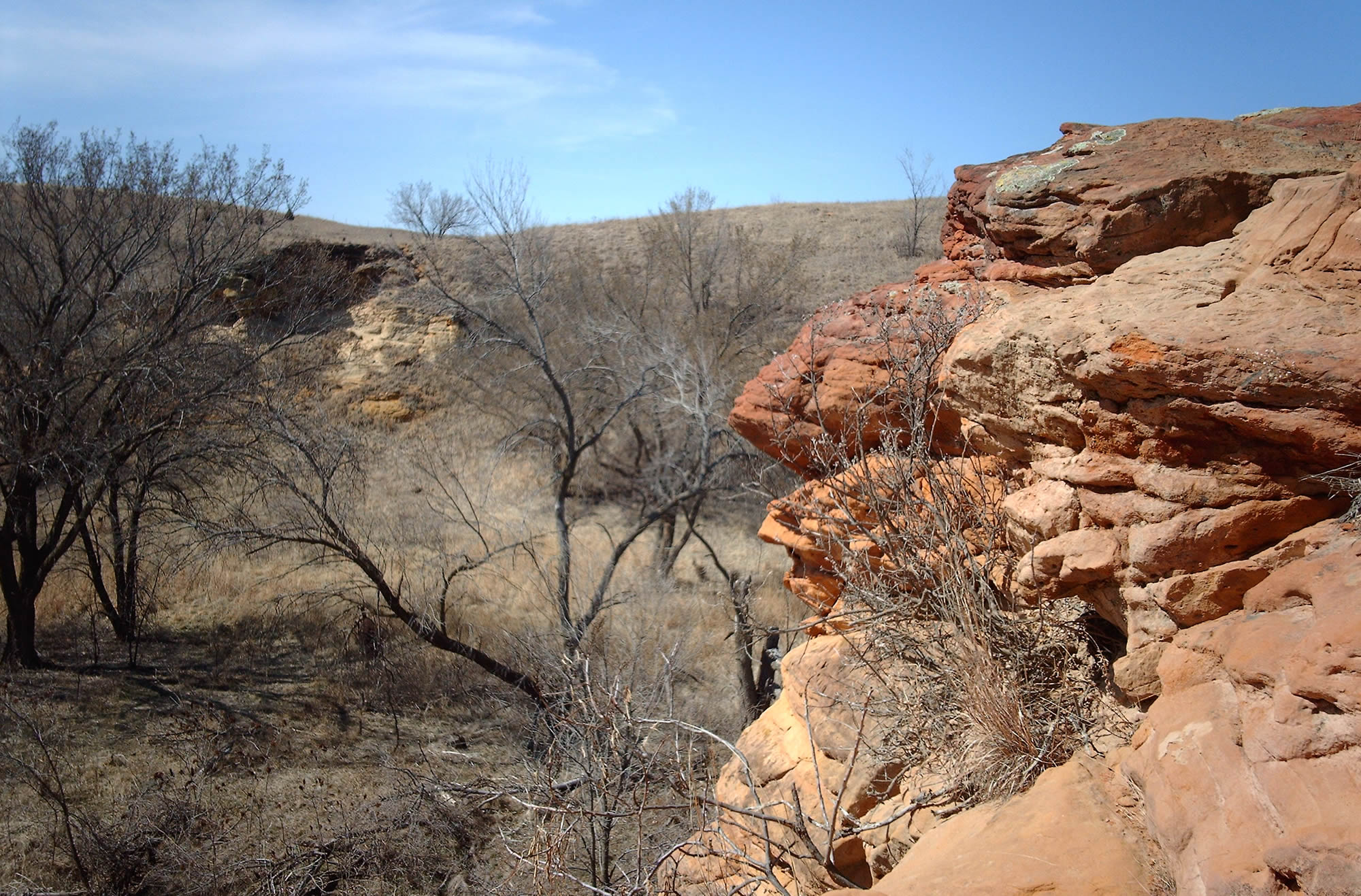
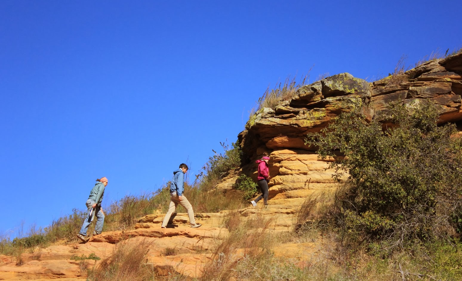
Kanopolis State Park is located in Ellsworth County, Kansas USA. Kanopolis State Park has a reservoir, desert plants such as yucca, a prairie dog town, and scenic sandstone canyons. Kanopolis is close to the Smoky Hills region of the U.S. state of Kansas.

Kanopolis State Park, Kansas

A view from Kanopolis State Park, Kansas.
Kanopolis State Park, completed in 1948, includes more than 22,000 acres (89 km²) of rolling hills, bluffs and woods and a 3000 acre (12 km²) lake, offering hunting, fishing, over 25 miles (40 km) of trails, and other recreational activities. Game includes pheasant, quail, prairie chickens, deer, beaver, wild turkey, squirrels, rabbits, coyotes and waterfowl; fishing for white bass and crappie is popular.
Kanopolis State Park, Kansas USA

A view from Kanopolis State Park, Kansas, United States.
About Kansas, Cities and Images
Kansas Maps
Kansas Photos
Where is Kansas in the US?
Show Google map, satellite map, where is the country located.
Get direction by driving, walking, bicycling, public transportaion and travel with street view.
[gmap-embed id=”2079″]
Kansas Maps, Photos and Attractions
- Please Click for more Kansas Map
- Please Click for more Info About Map of Kansas
- Please Click for more About Kansas
- Please Click for more Kansas Photos
- Please Click for more Kanopolis State Park, Kansas USA


