- Advertisement -
Explore blank maps of the United States with states, rivers, time zones, outline maps, and borders, including Alaska, Hawaii, Canada, and Mexico for study or teaching.
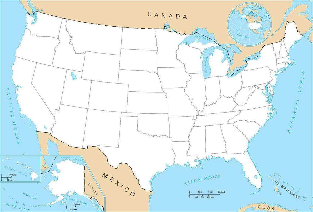
Blank Map of US States with Canada and Mexico Borders
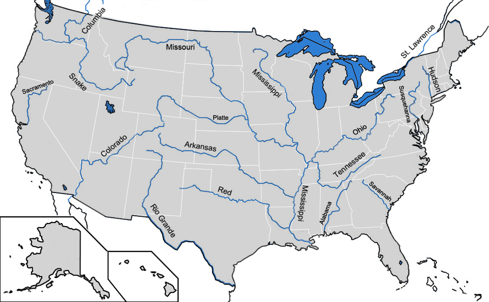
Blank map of major rivers in US
Blank map of the US
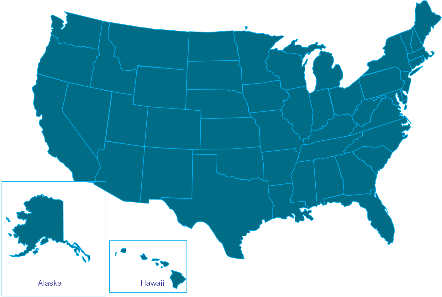
Blank map of the US with states borders
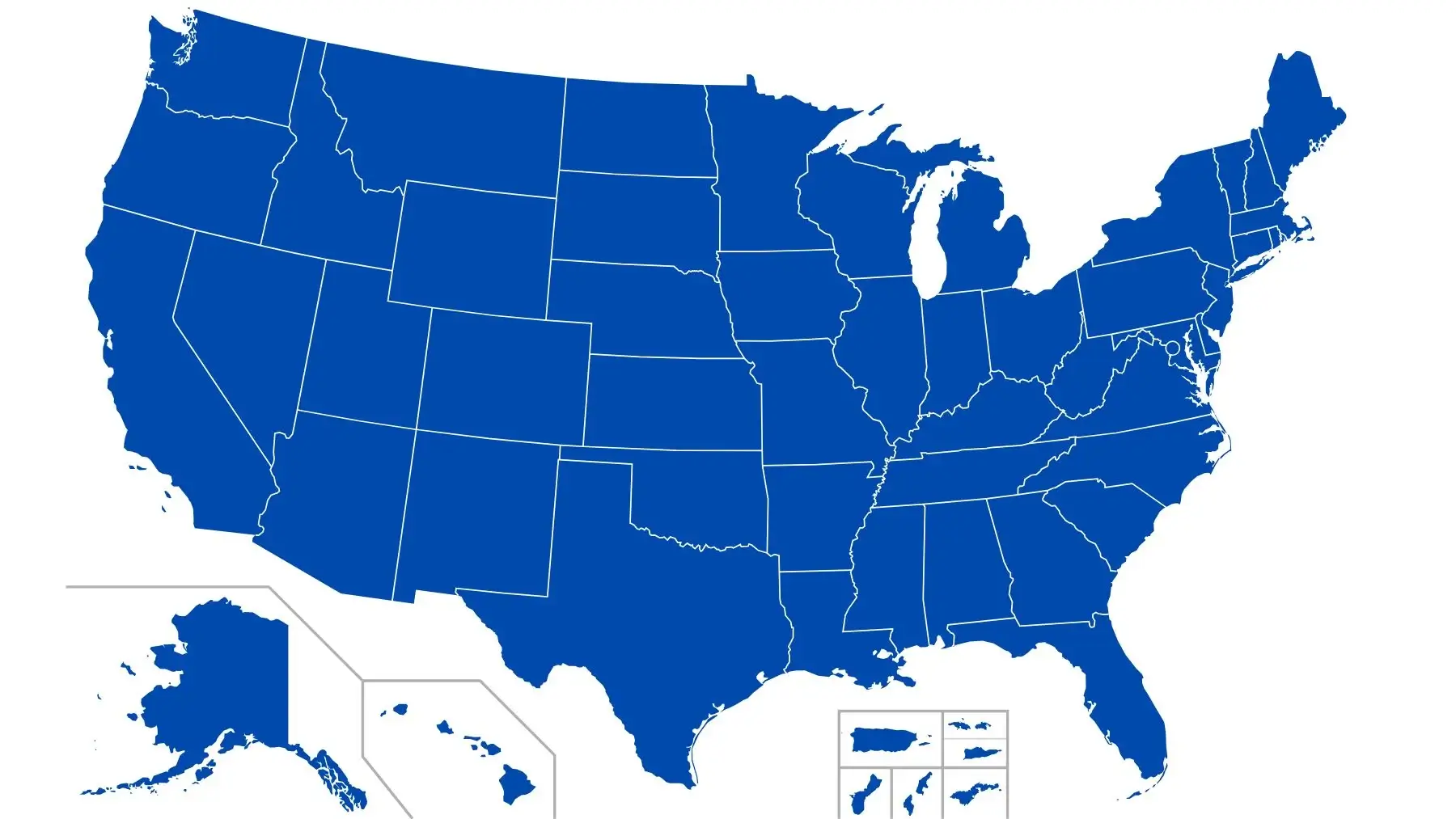
Blank map of the UUS
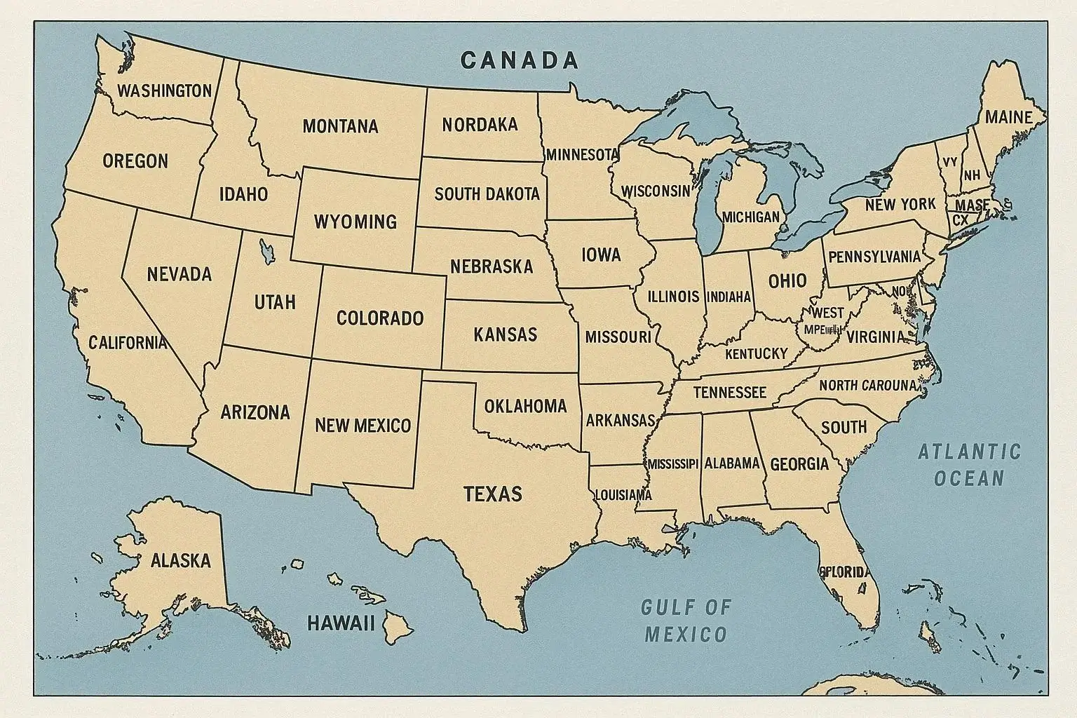
Blank map USA states and Canada
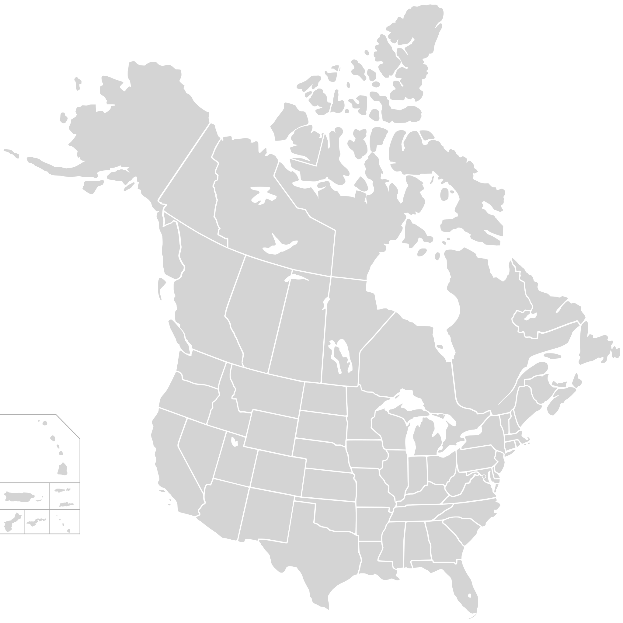
Blank US map
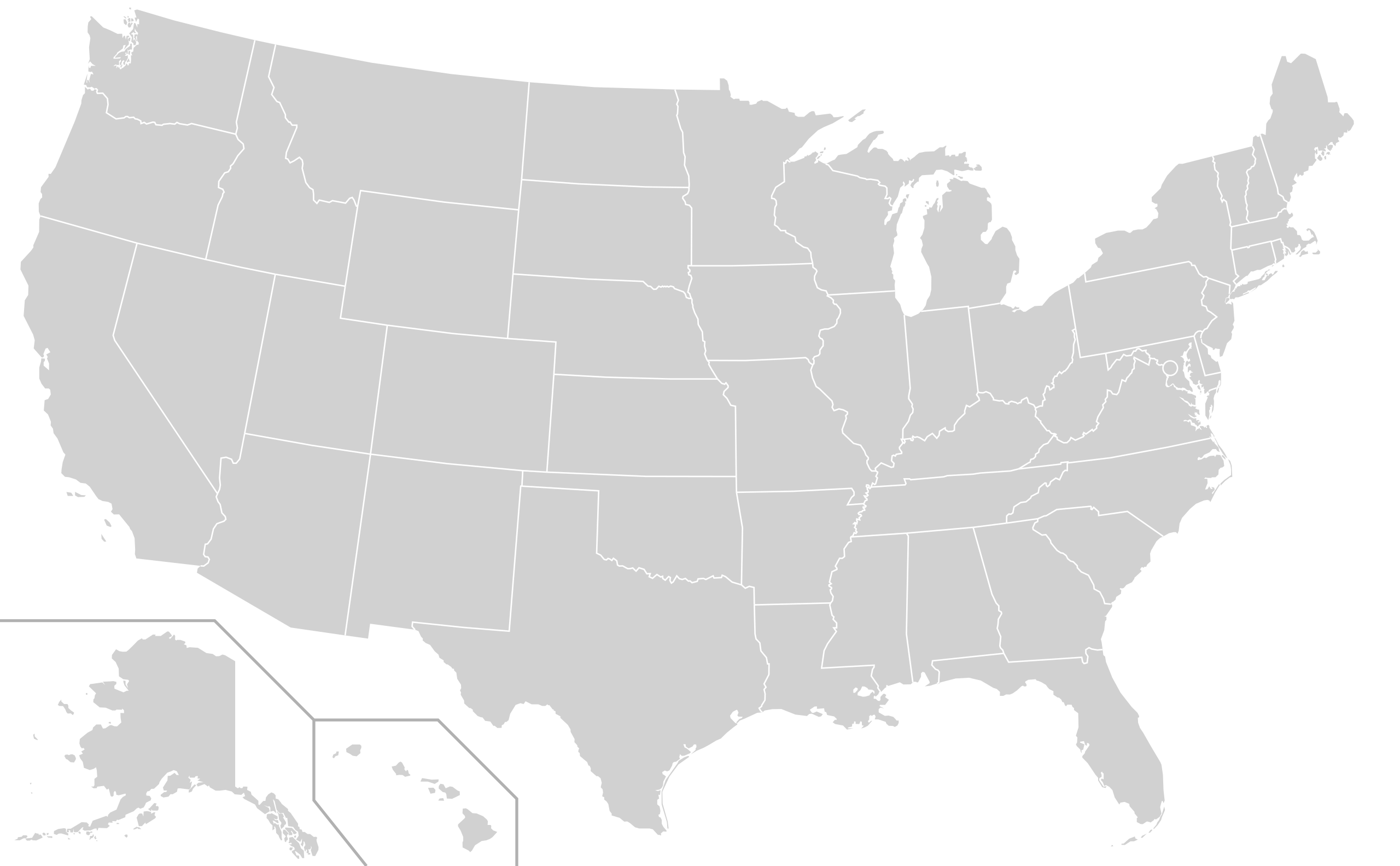
Colorful US blank map with states
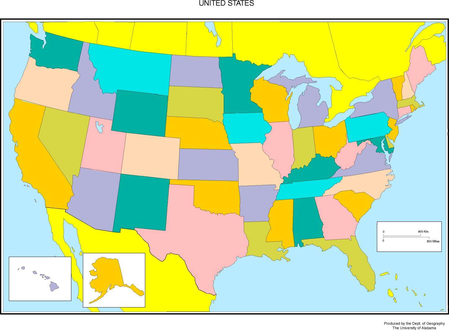
North America and US blank map with Central America
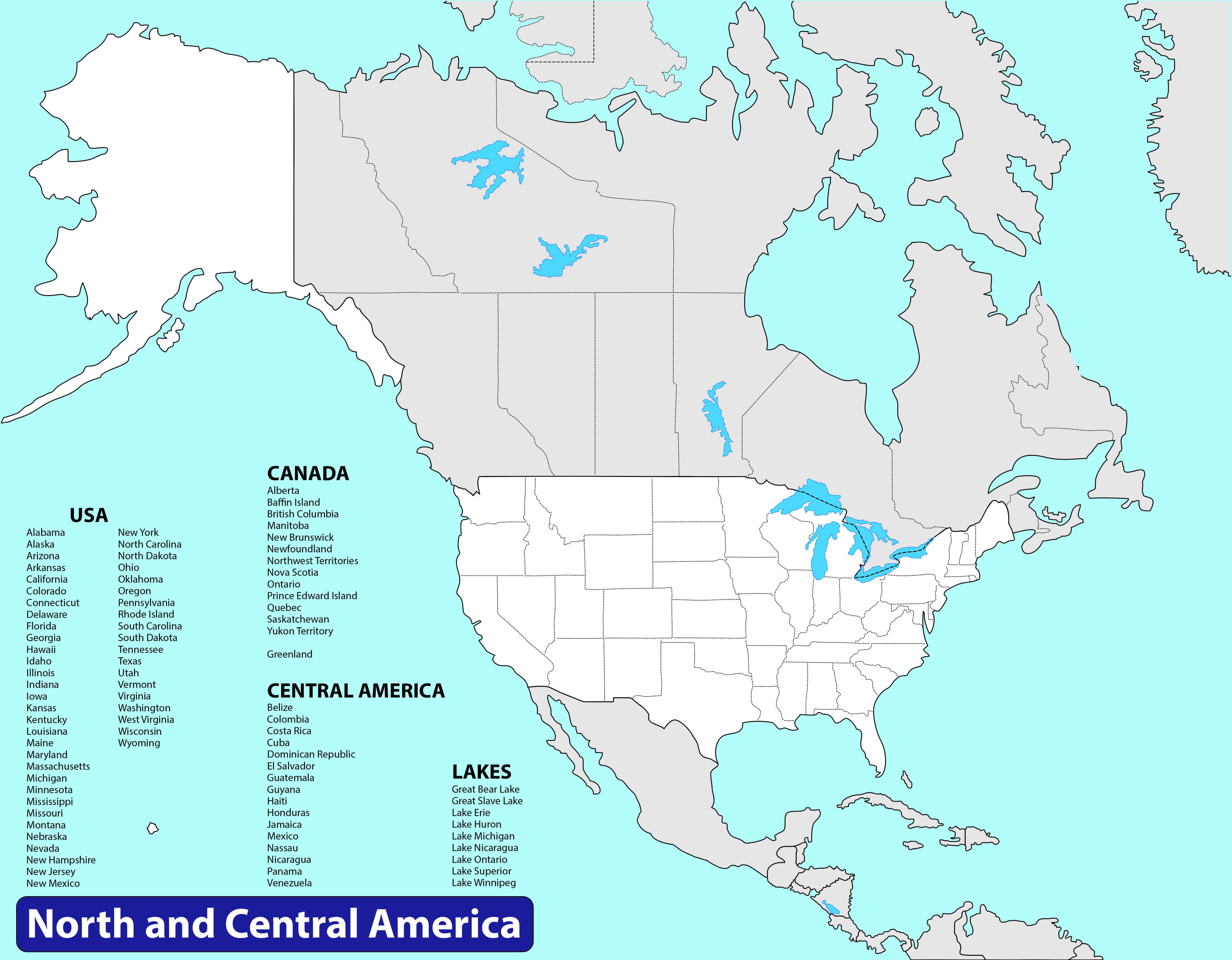
North America and US blank map
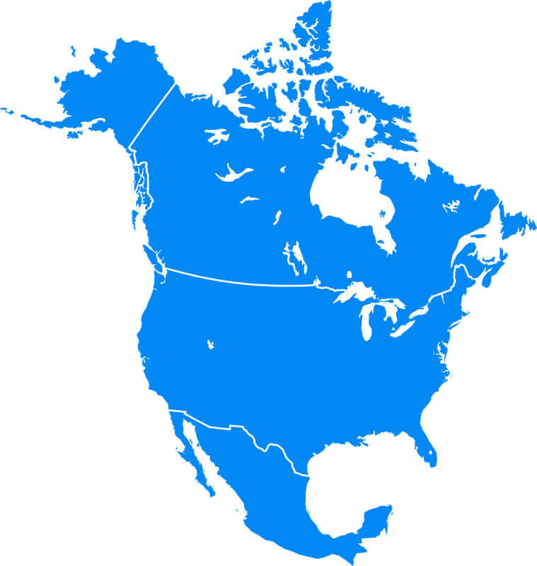
the US and americas blank physical map
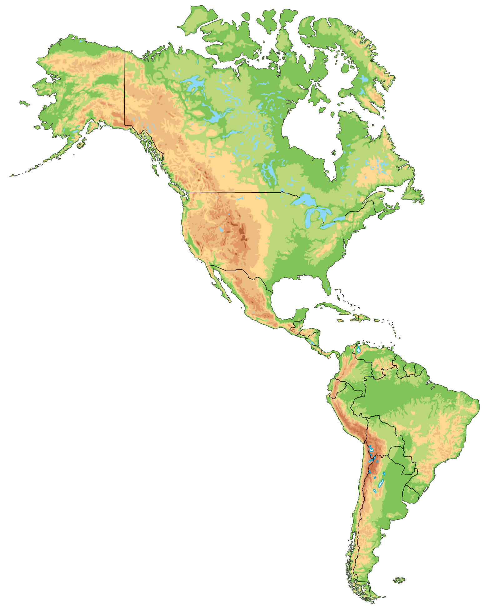
the US blank map
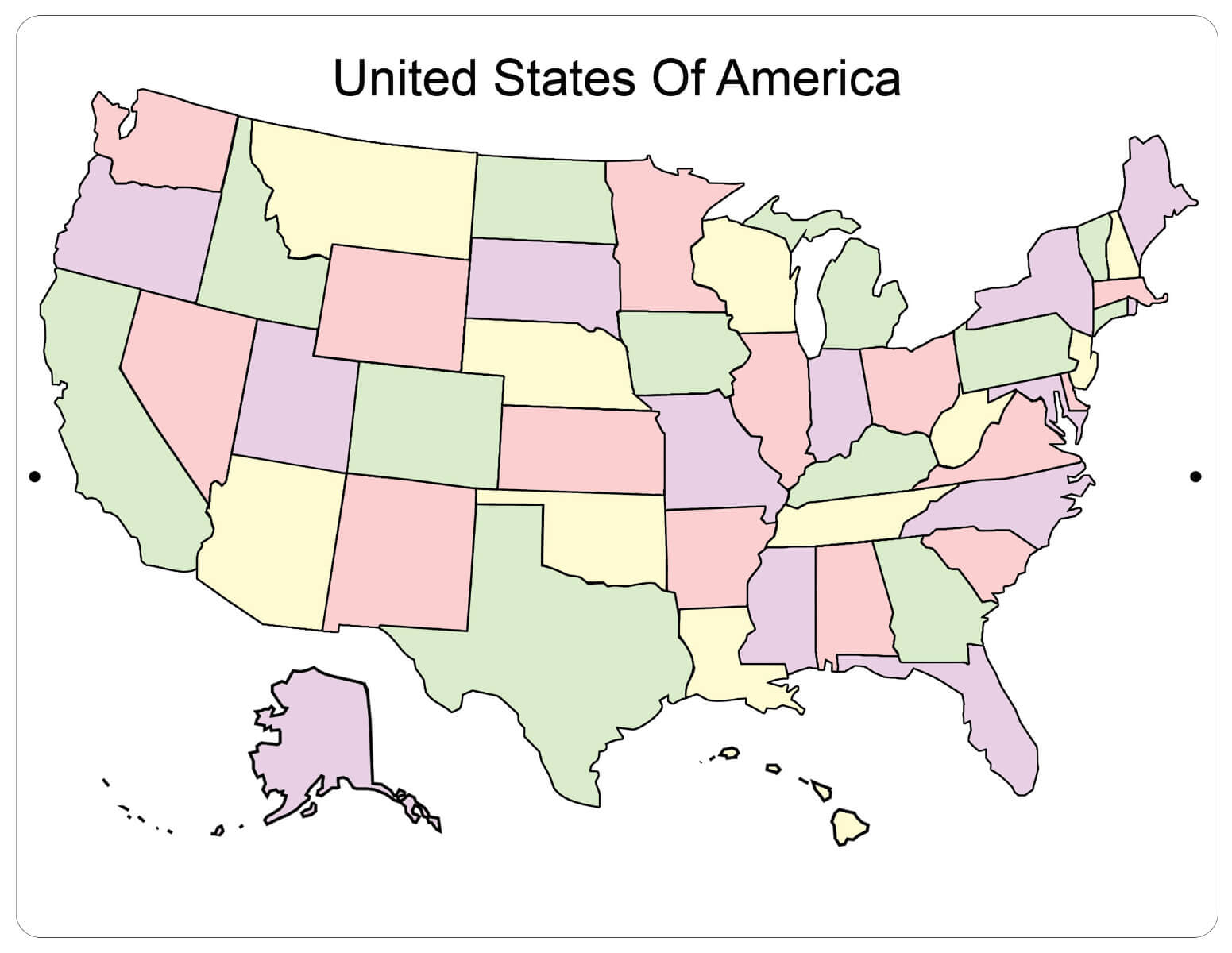
the USA blank map
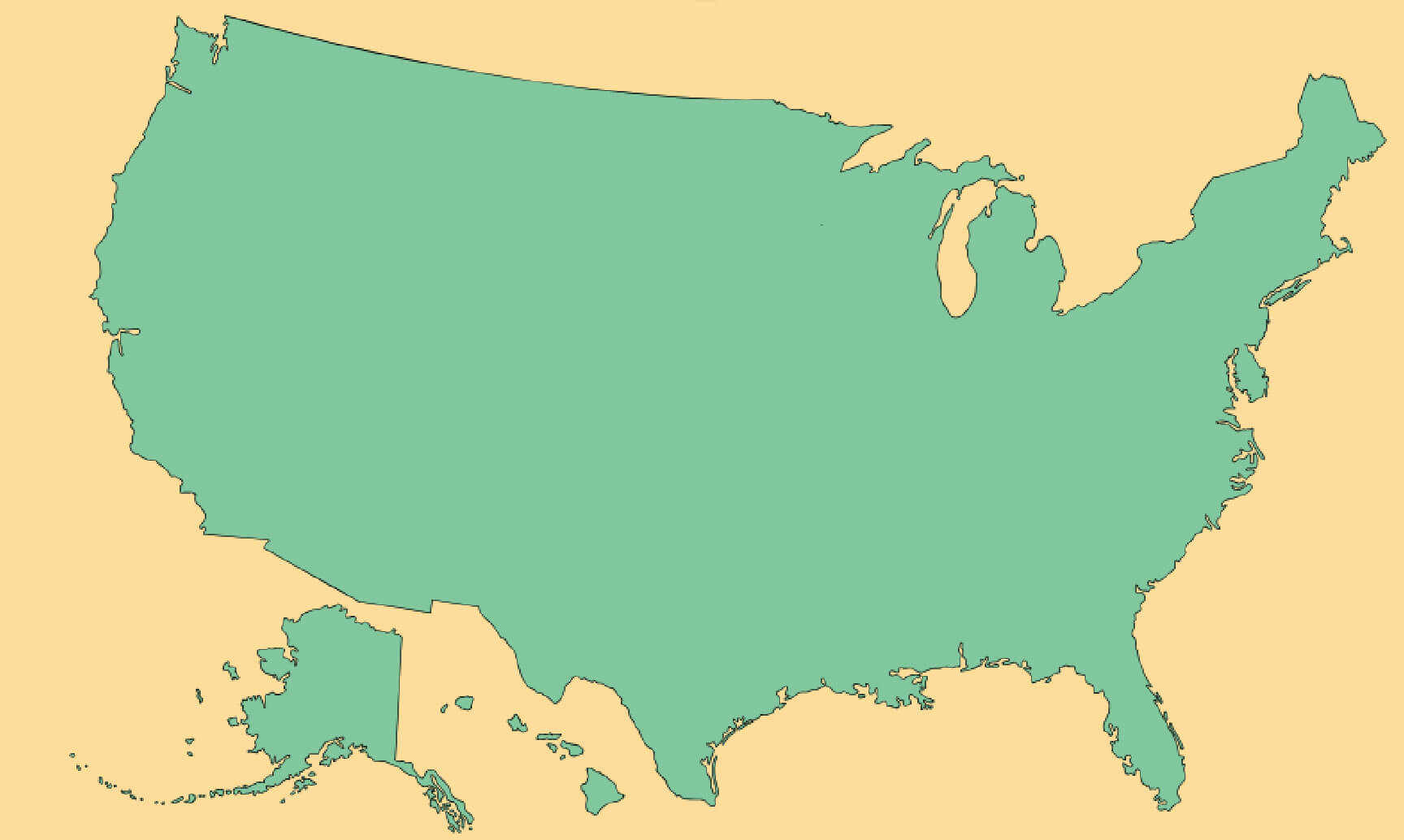
US and North America physical blank map
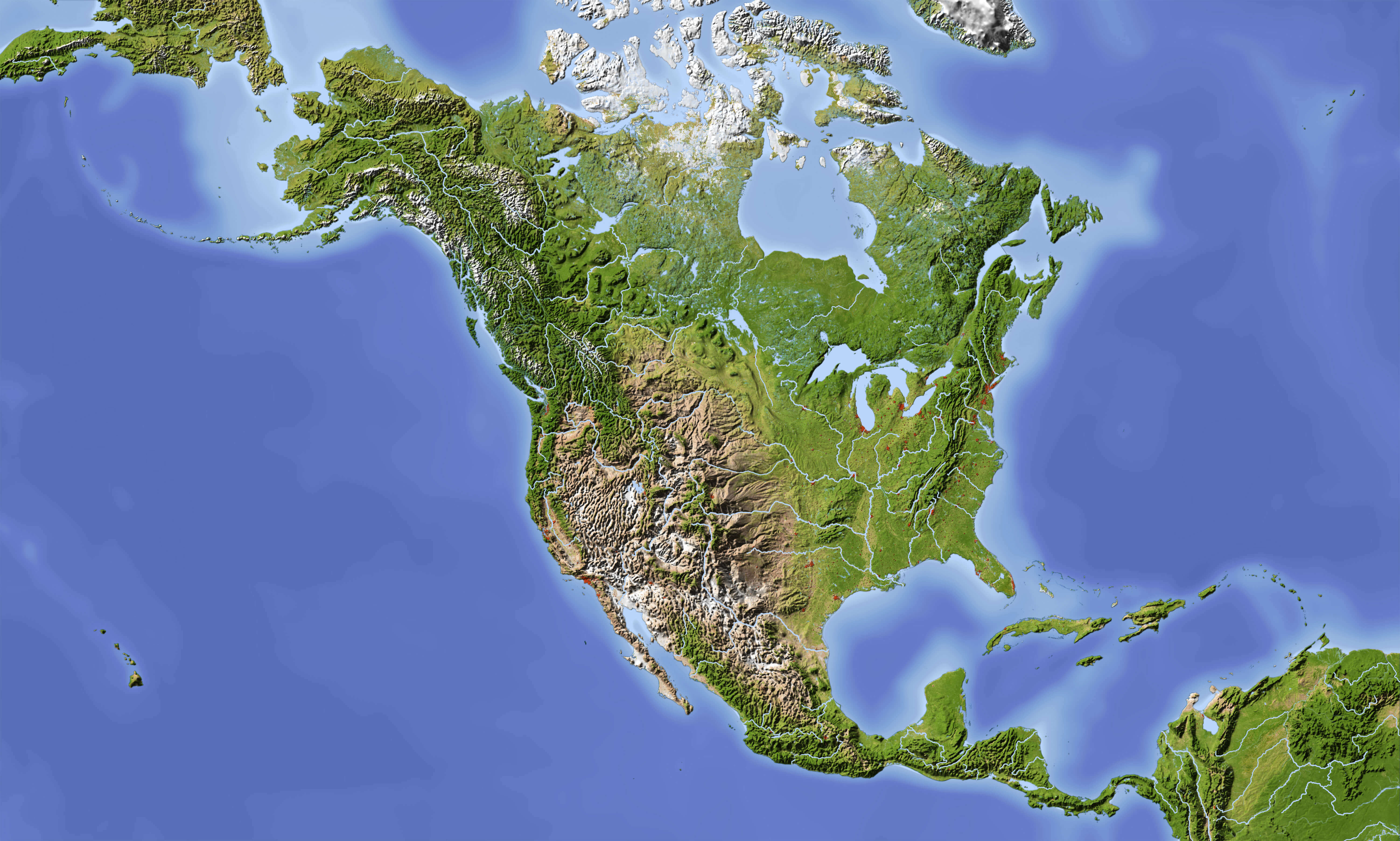
US blank location map
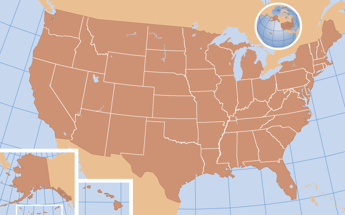
US blank map by states
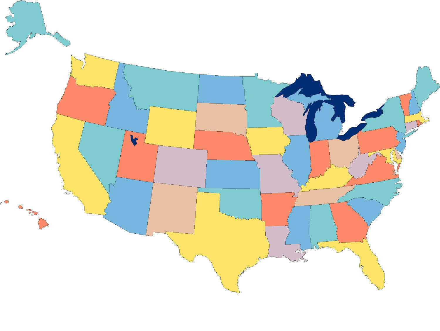
US blank map with Alaska and Hawaii
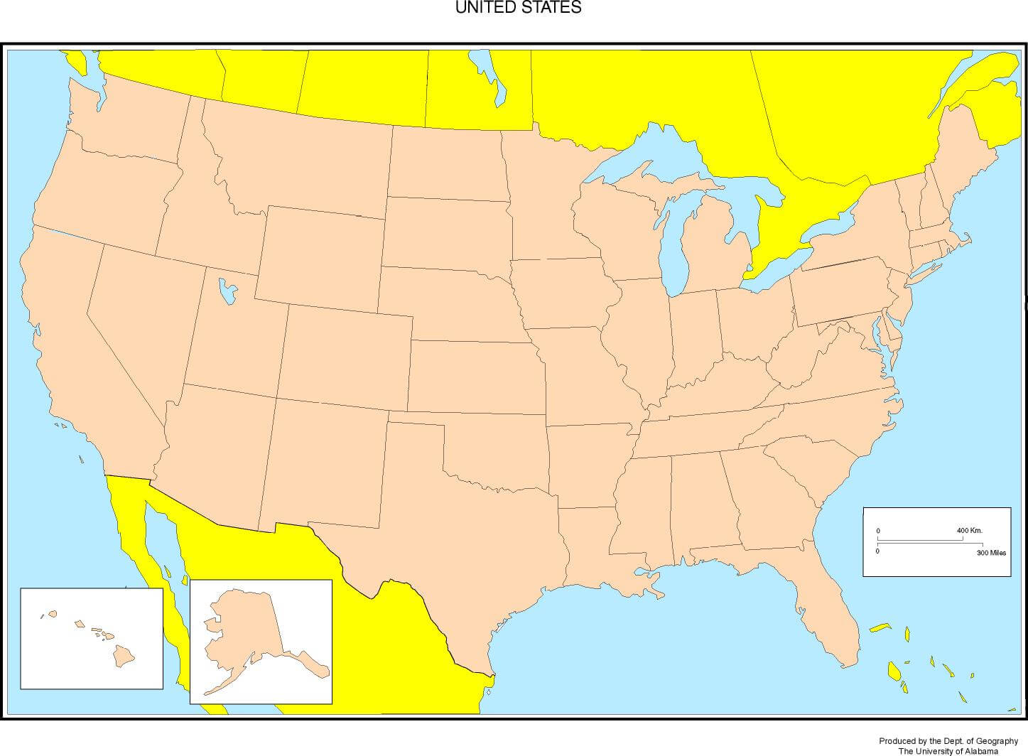
US blank map
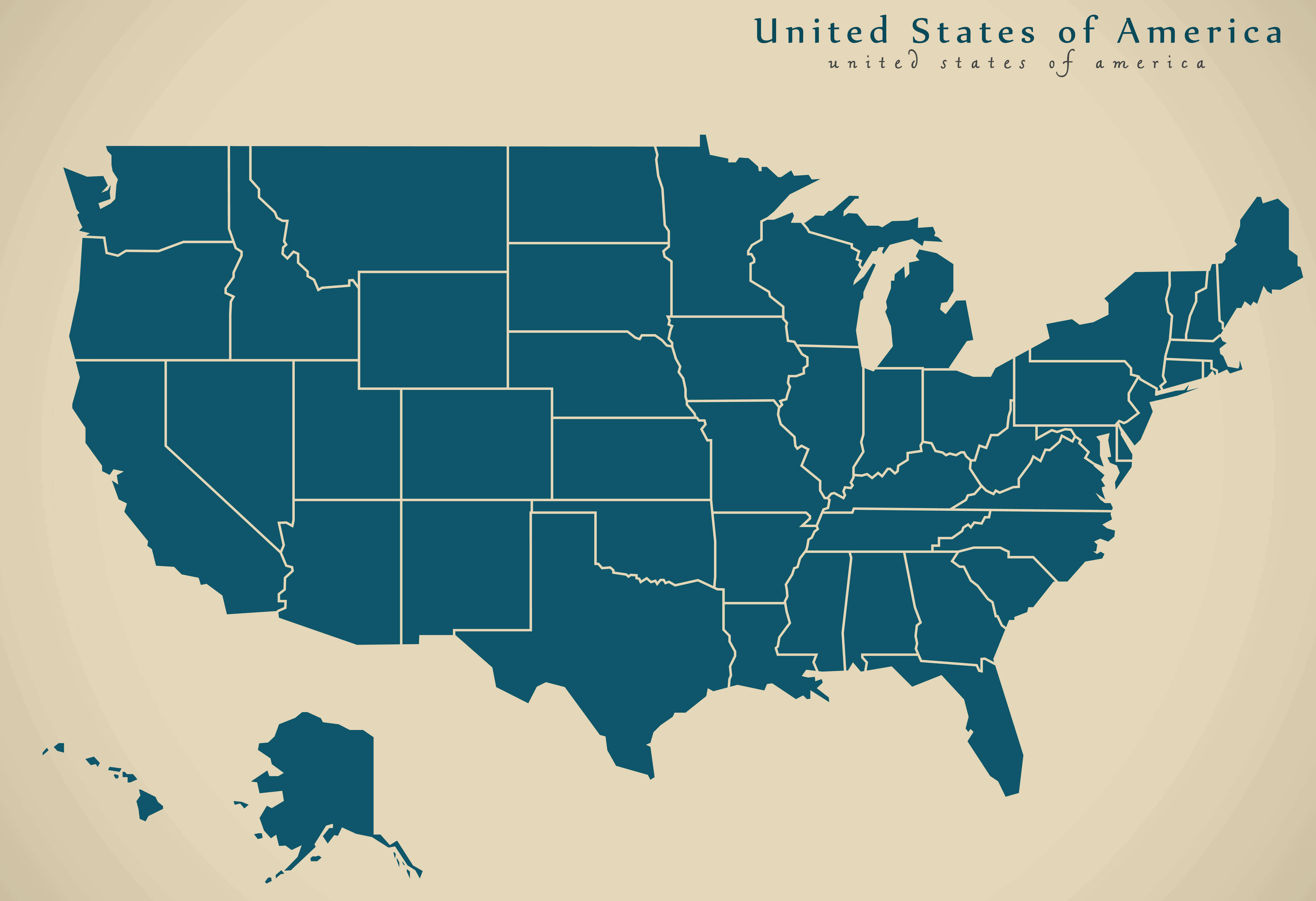
US blank physical map
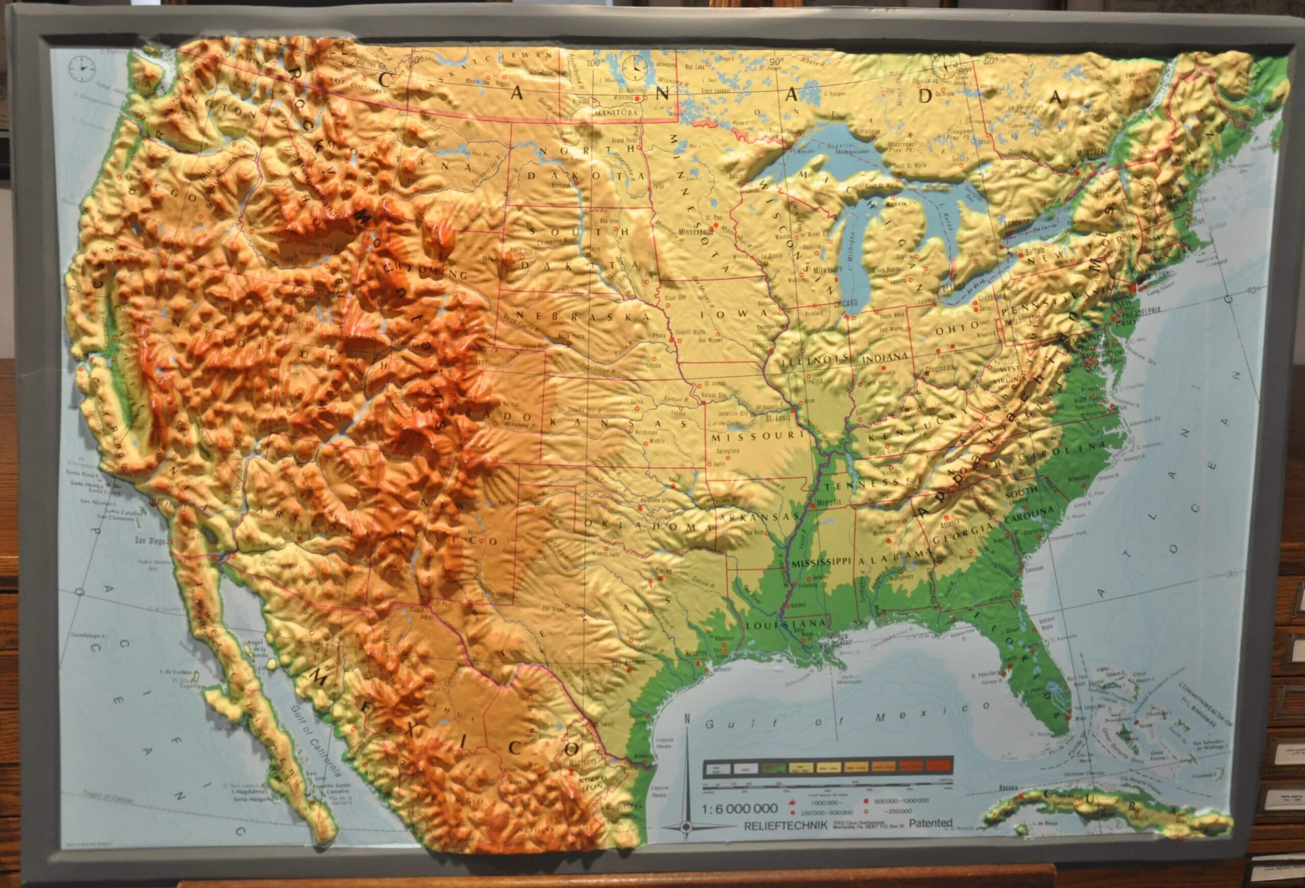
US blank time zone map
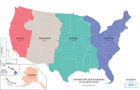
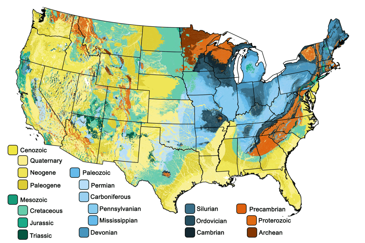
US geologic blank map
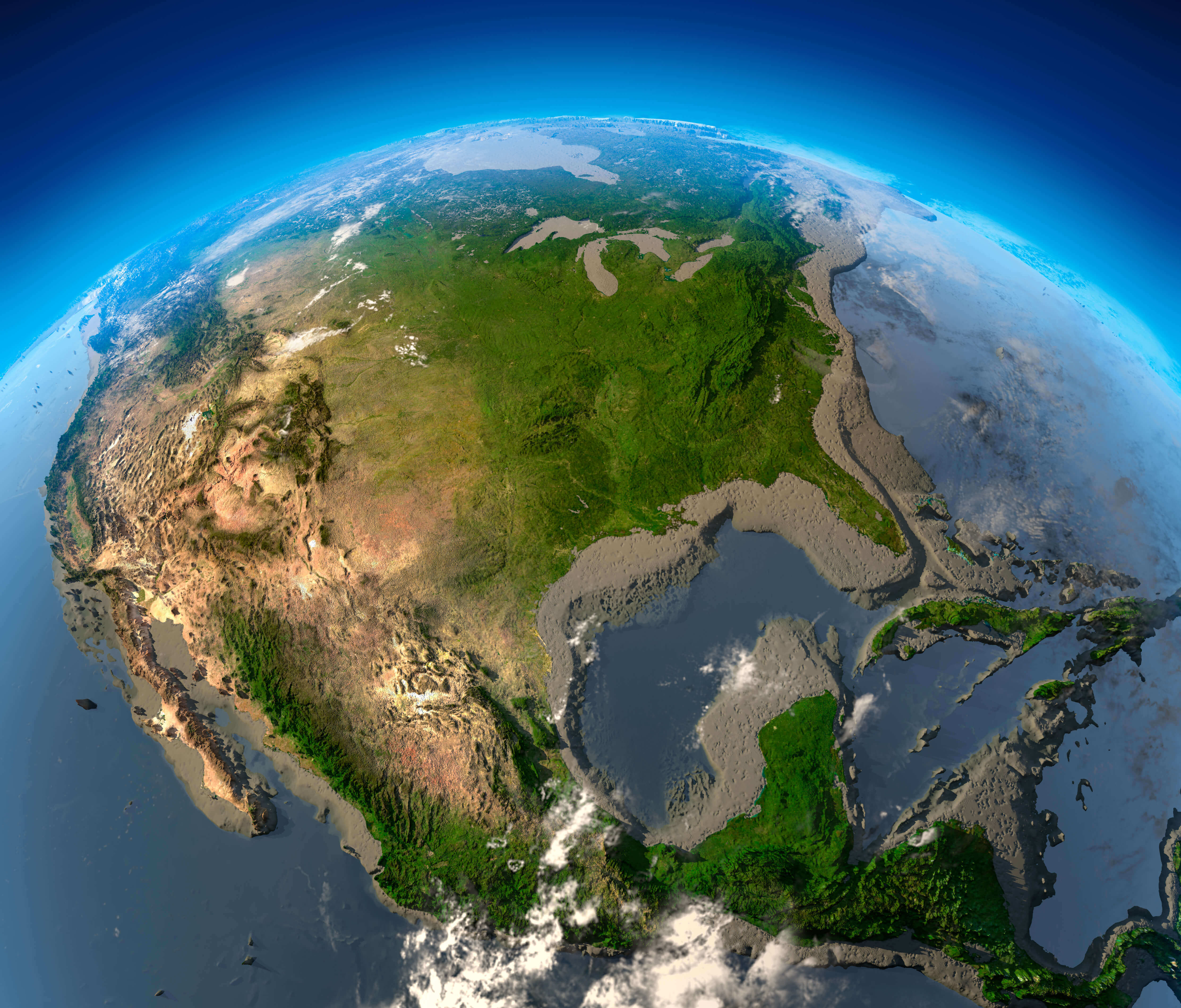
US high resolution US satellite map
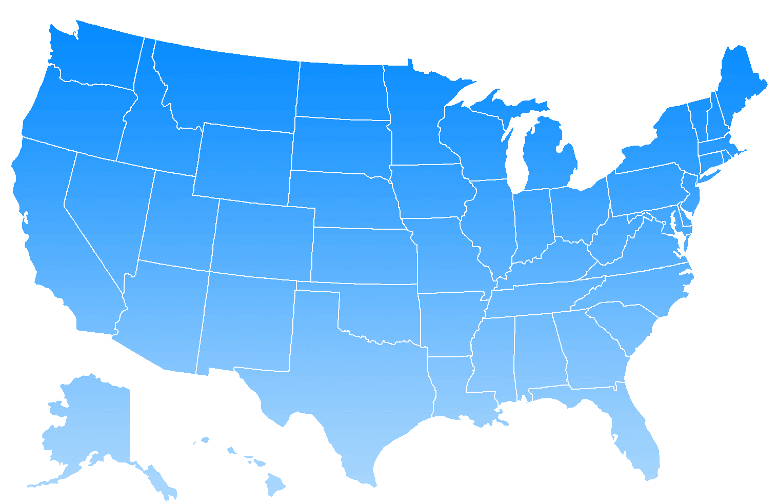
US map blank
US outline blank map
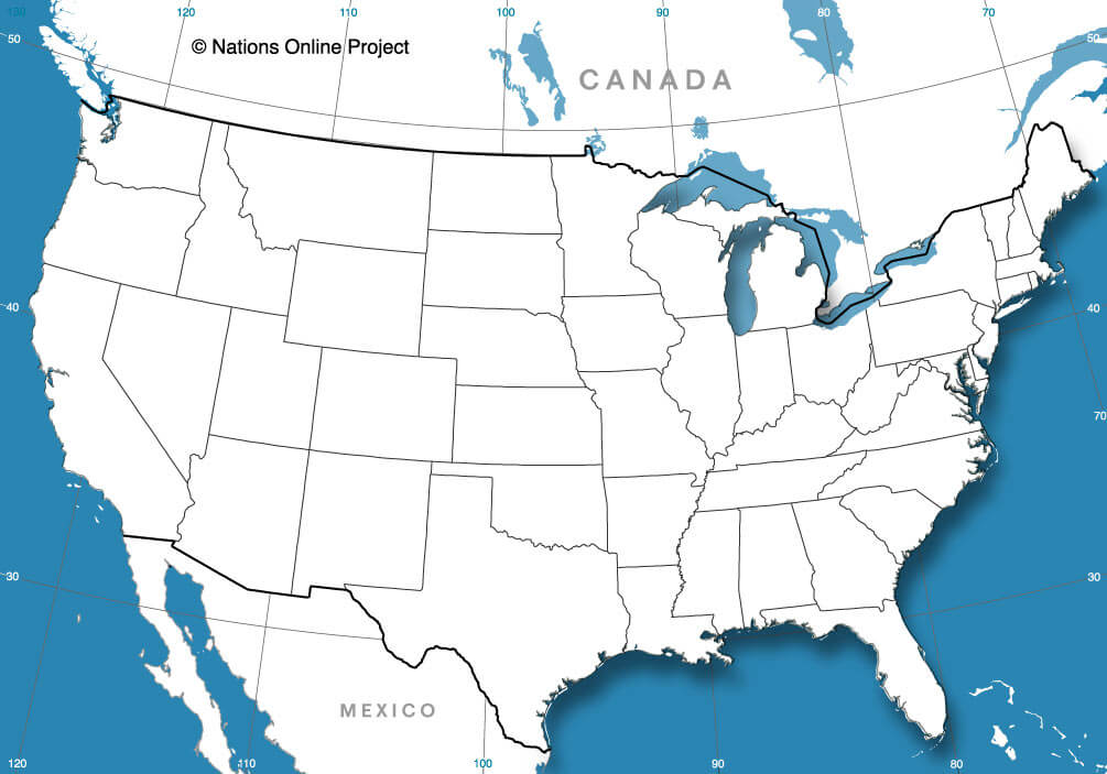
US printable blank map
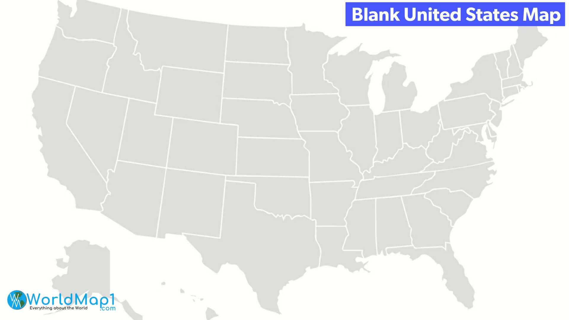
USA blank map by states
Where is the United States on the World Map?
Show Google map, satellite map, where is the country located.
Get directions by driving, walking, bicycling, public transportation and travel with street view.
Feel free to explore US states maps:
- United States Map ↗️
- US Maps ↗️
- Map of United States ↗️
- US States Map ↗️
- United States Maps ↗️
- US Cities Map ↗️
- United States Capitals Map ↗️
- US States Capitals Map ↗️
- United States States Map ↗️
- United States Cities Map ↗️
- Political Map of the US ↗️
- United States Blank Map ↗️
- US Physical Map ↗️
- United States Physical Map ↗️
- United States Political Map ↗️
- US High-resolution Map ↗️
- United States High-resolution Map ↗️
- US Population Map ↗️
- United States Population Map ↗️
- US Time Zone Map ↗️
- Gulf of America (The Gulf of Mexico) Map ↗️
- United States Time Zone Map ↗️
- California Time Zone Map ↗️
- Texas Time Zone Map ↗️
- New York Time Zone Map ↗️
- Florida Time Zone Map ↗️
- California Map ↗️
- Texas Map ↗️
- New York Map ↗️
- Florida Map ↗️
- Illinois Map ↗️
- Pennsylvania Map ↗️
- Ohio Map ↗️
- Michigan Map ↗️
- Georgia Map ↗️
- New Jersey Map ↗️
- North Carolina Map ↗️
- Virginia Map ↗️
- Massachusetts Map ↗️
- North America Map ↗️
- Advertisement -
