- Advertisement -
Discover the United States through colorful maps, physical and political views, and satellite images. From the 50 states, Alaska, and Hawaii to highways, time zones, and major cities, these USA maps highlight geography, borders with Canada and Mexico, and America’s place in North America and the world.
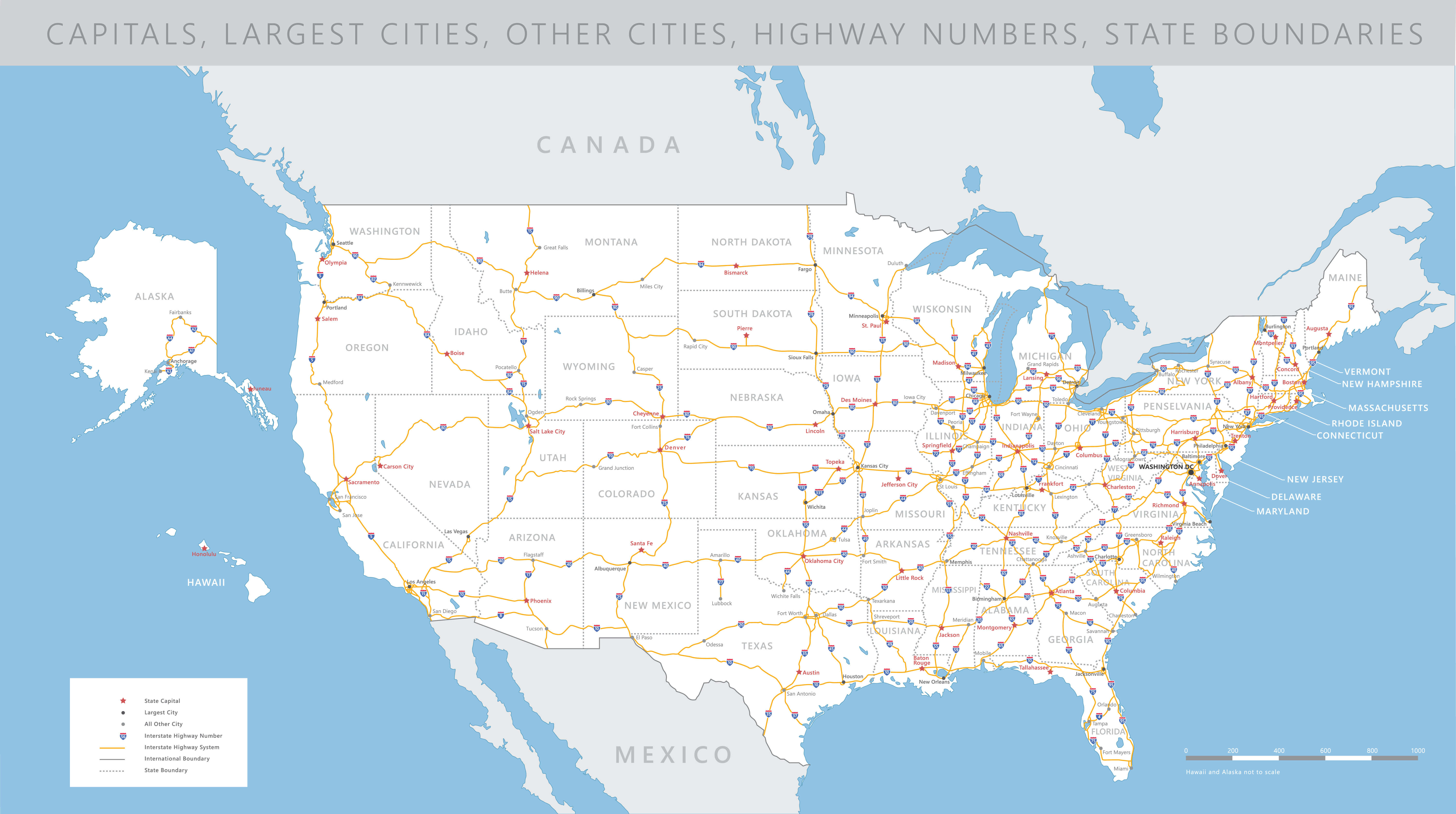
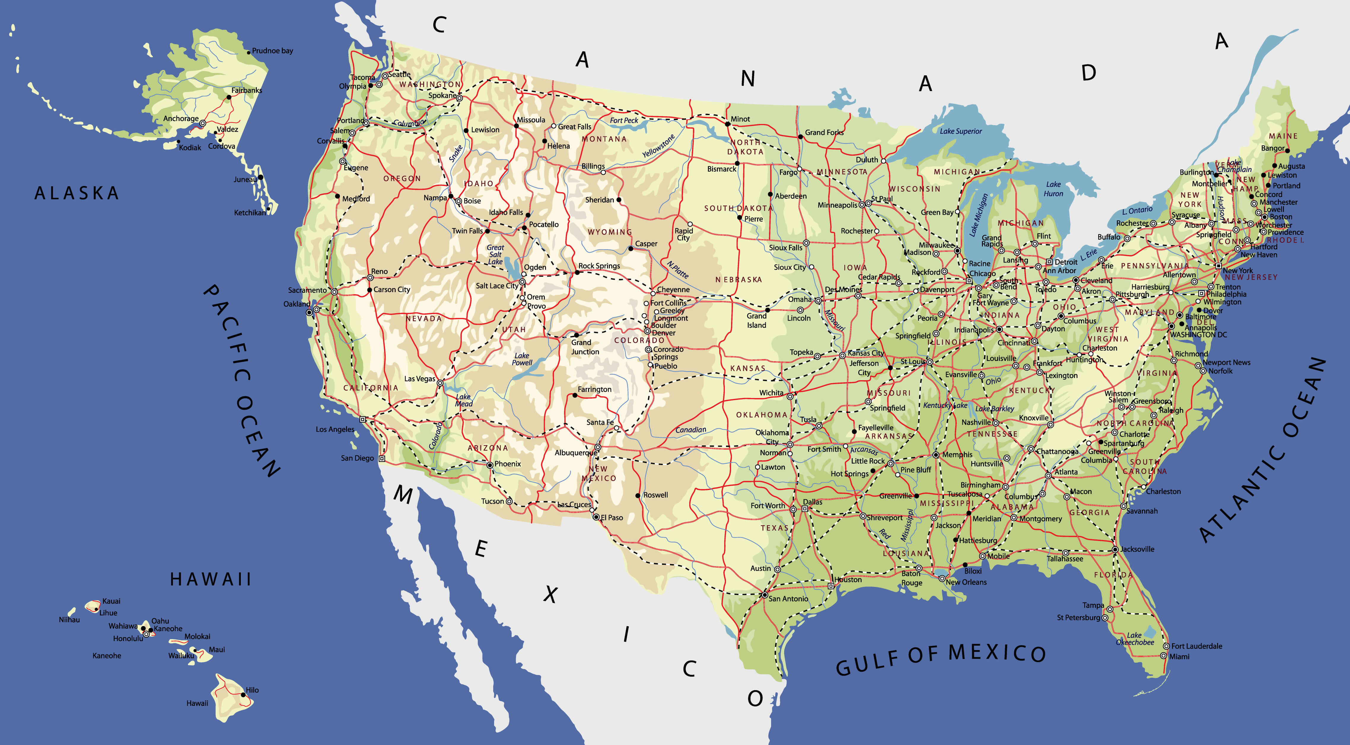
United States Road Map with Highways and Major Cities
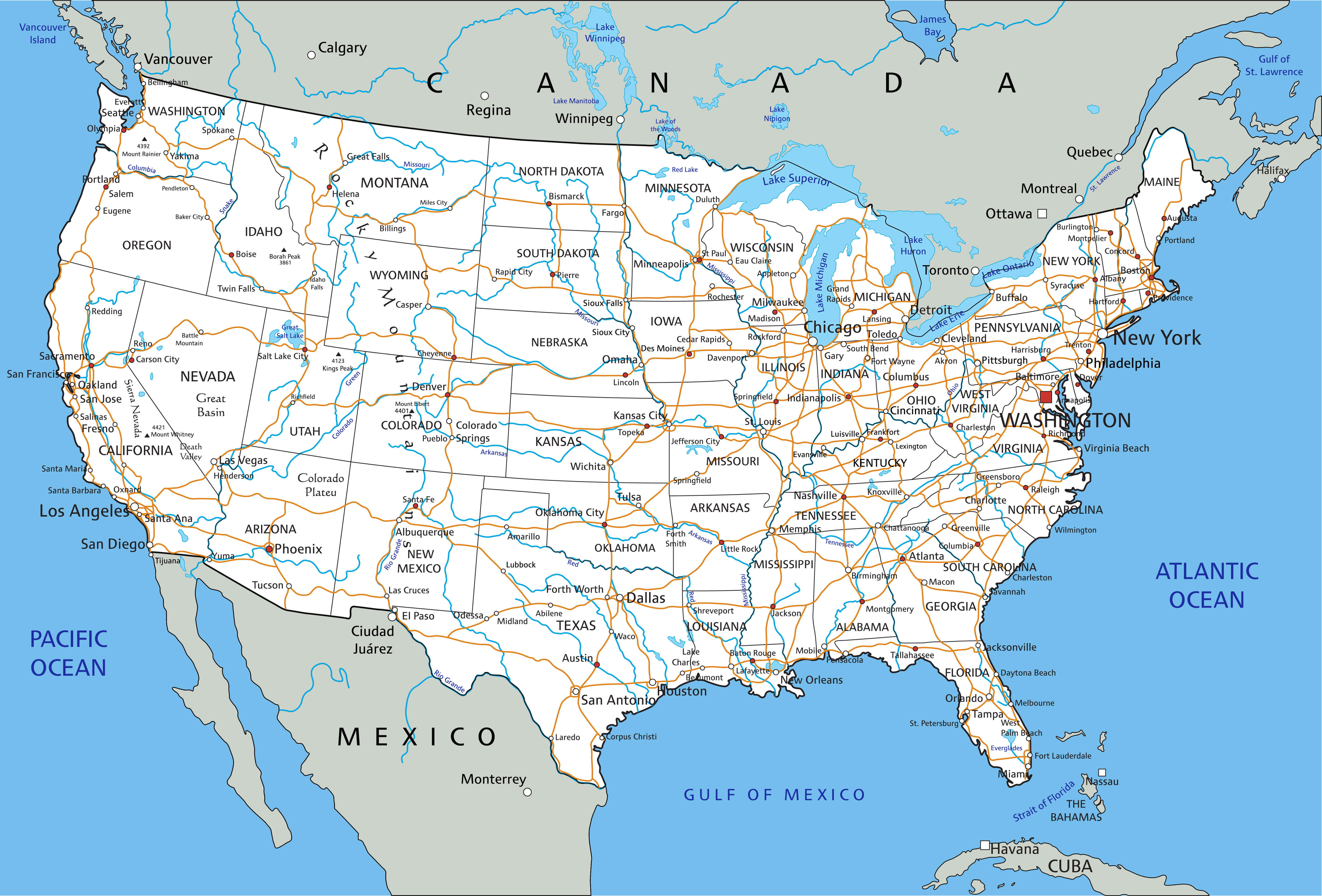
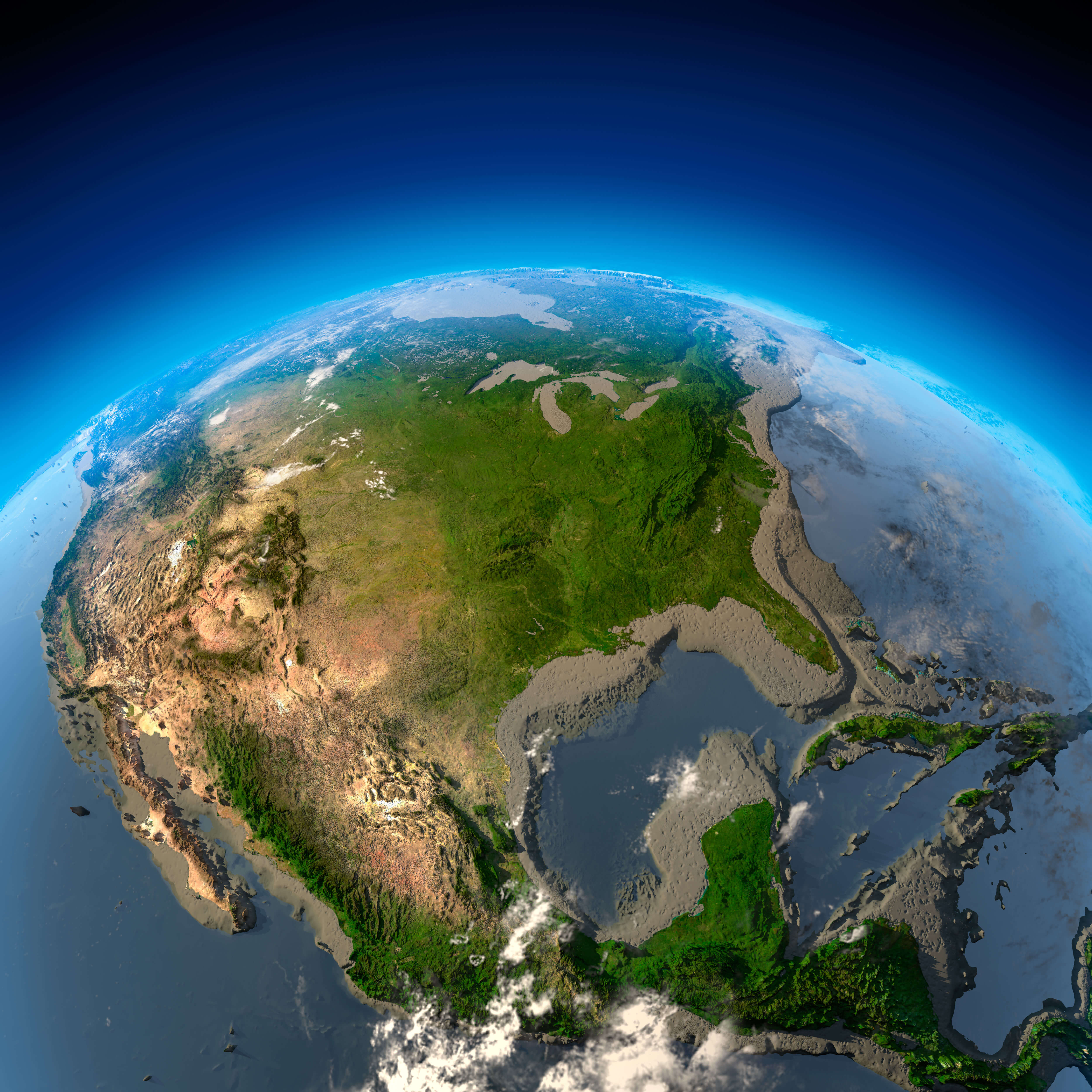
United States of America Satellite Map with Terrain and Cities
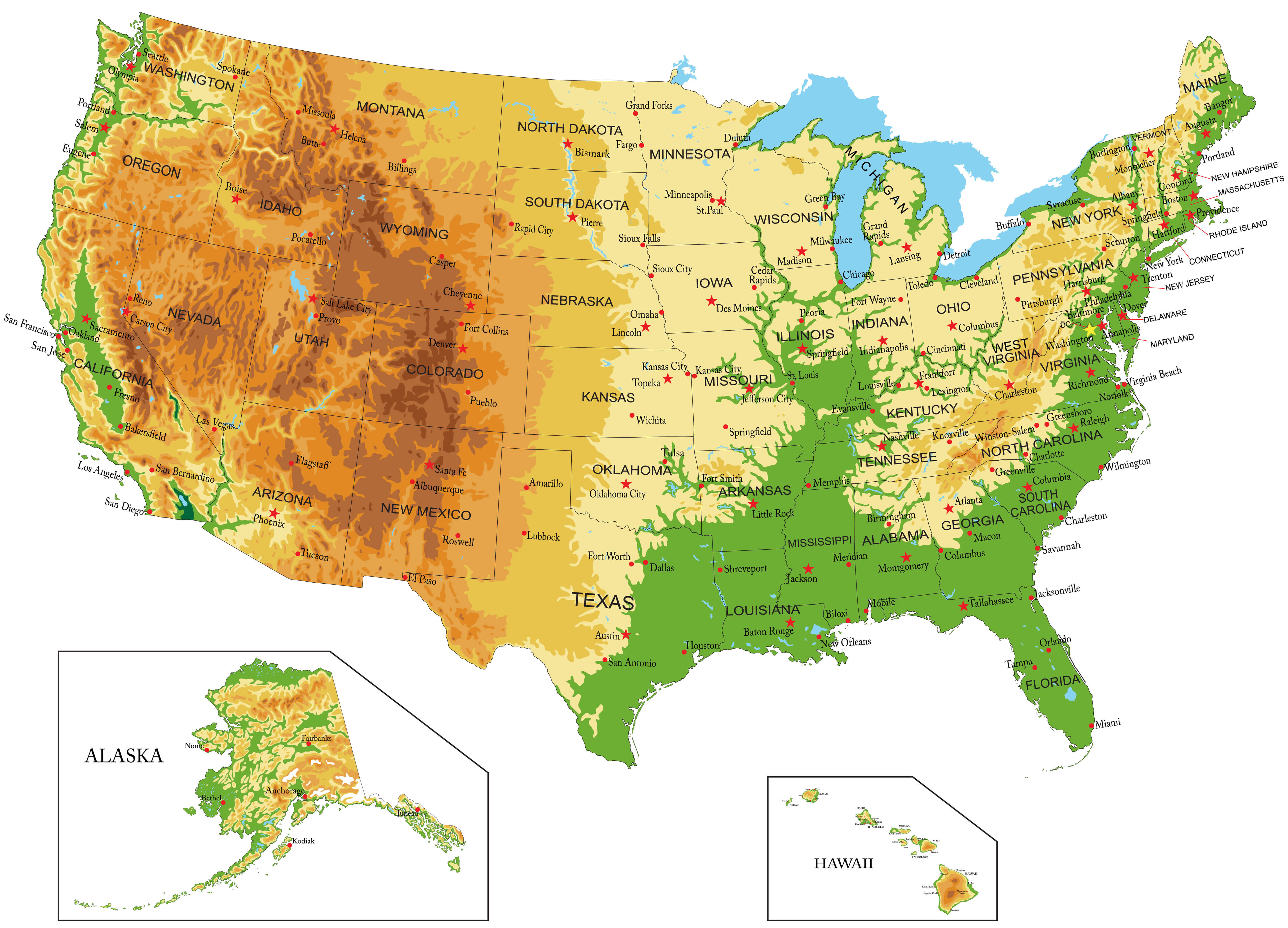 Satellite map of the United States showing terrain, states, and major cities.
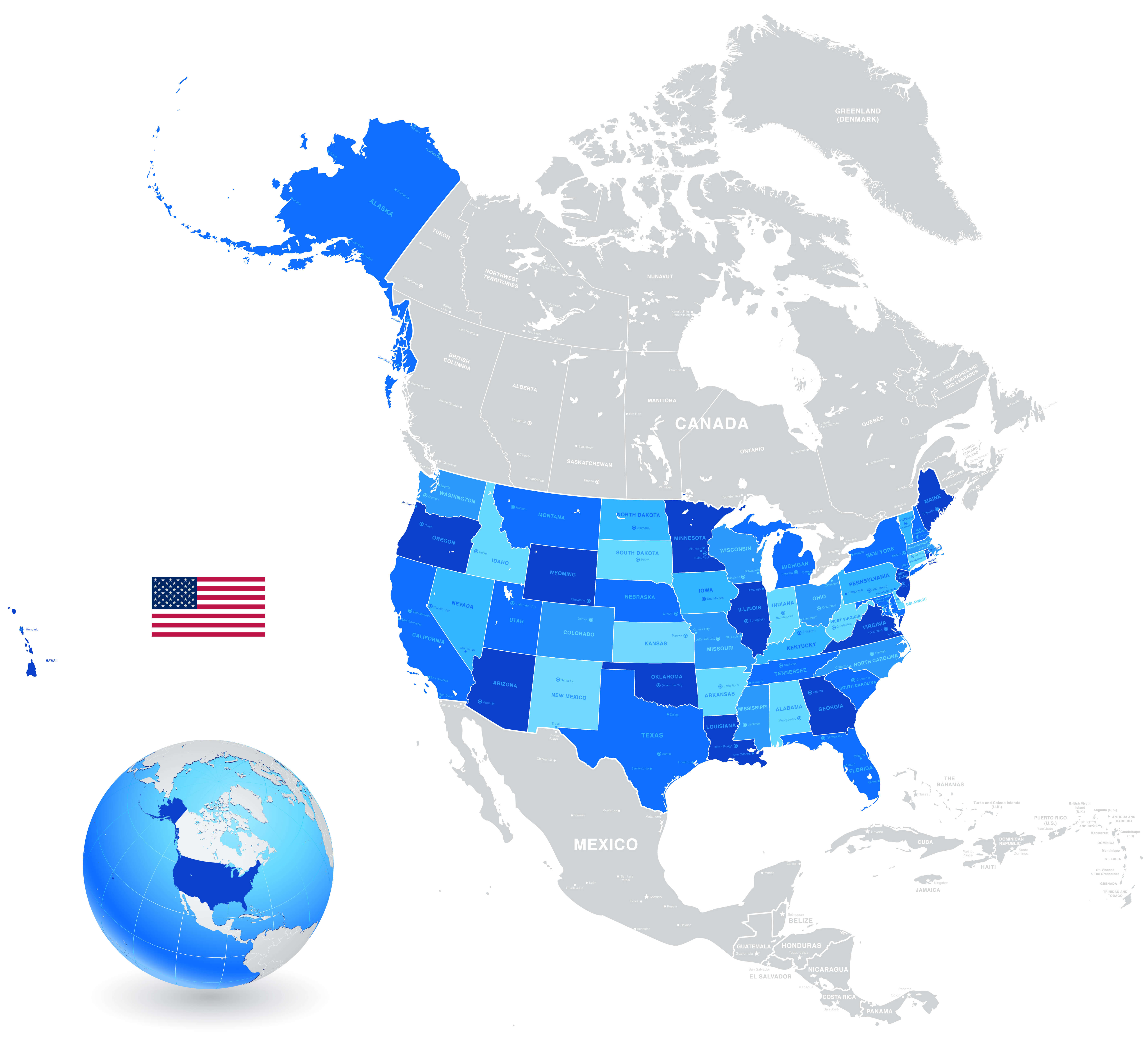
Colorful map of The United States
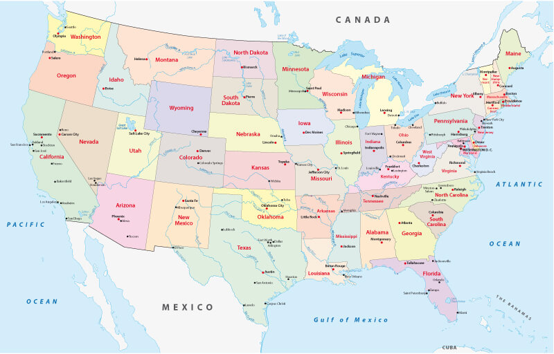
The United States and Americas physical map
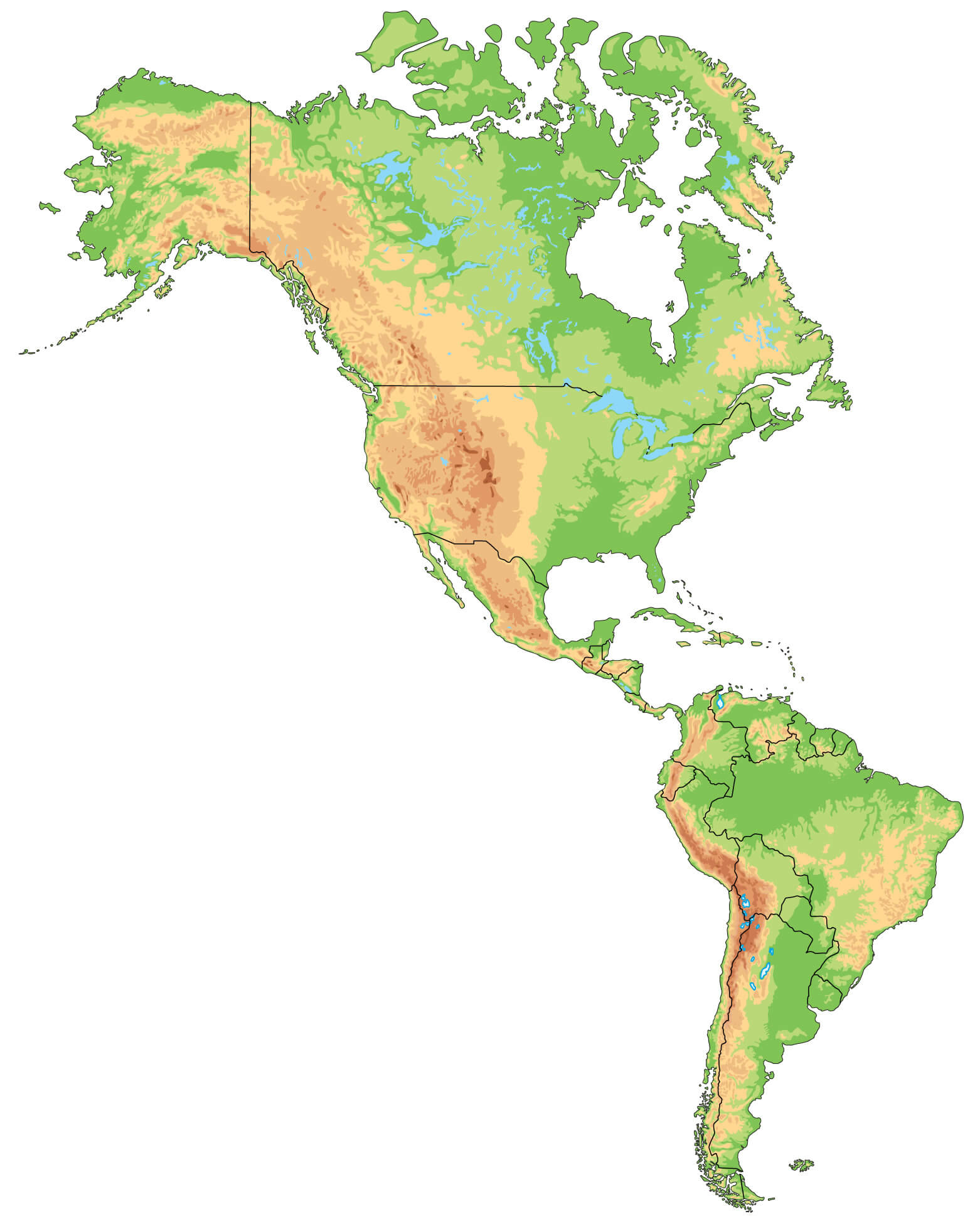
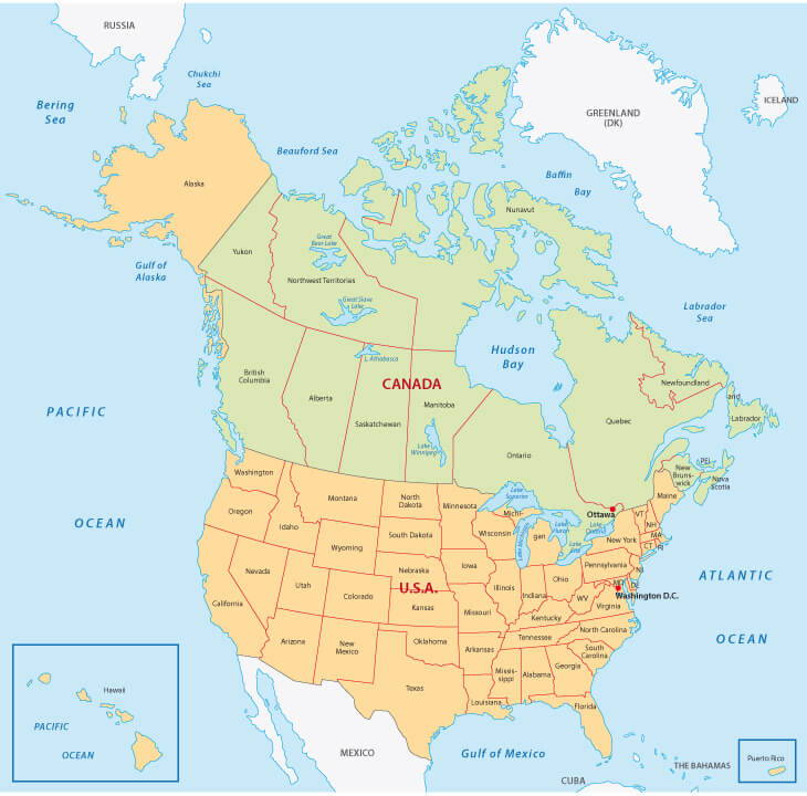
The United States and Canada map by states and territories
The United States and the World map
The United States interstates map
The United States of America satellite map
United States 4 different time zones map
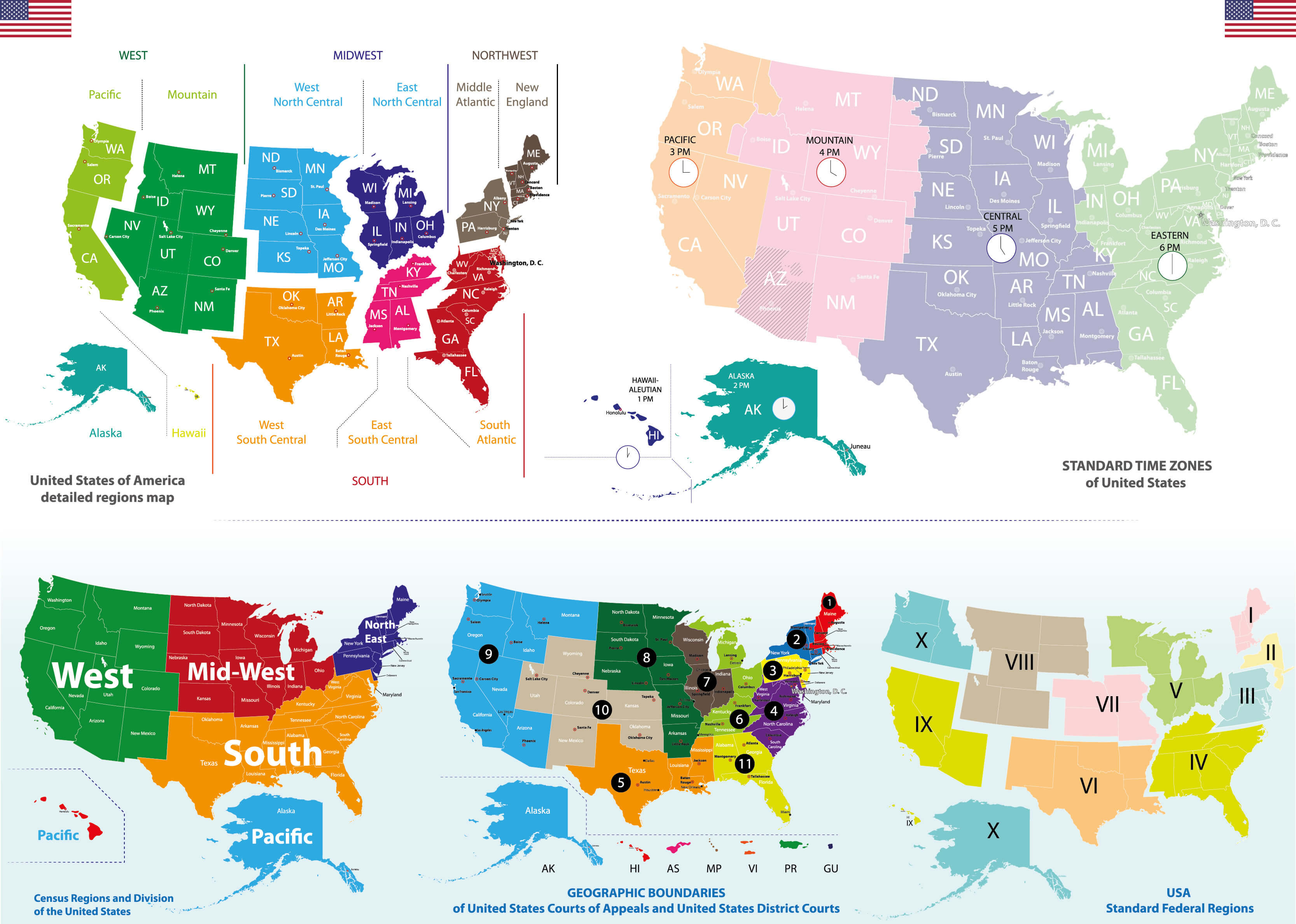
United States 50 states map
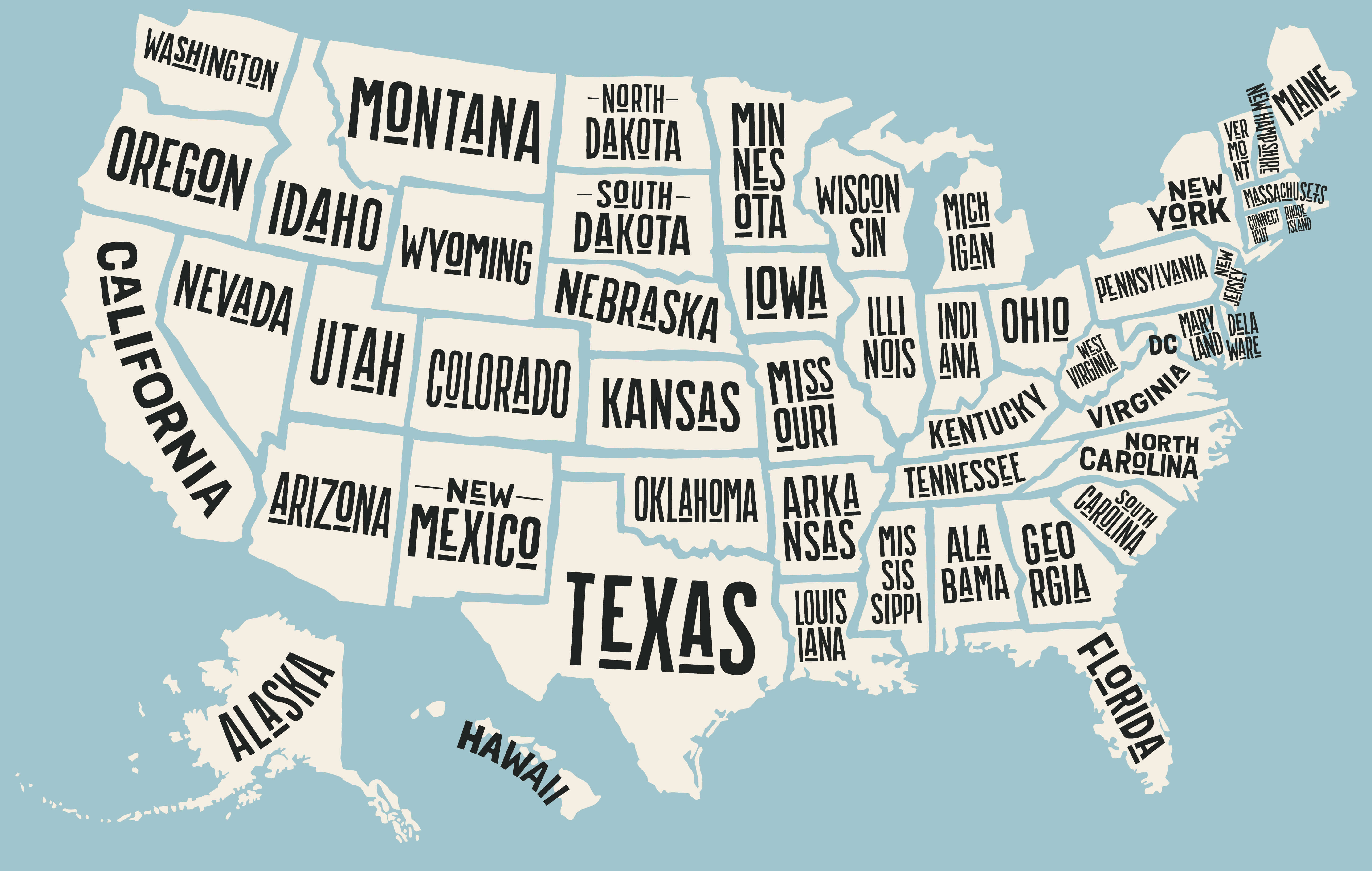
United States Alaska and Hawaii political map
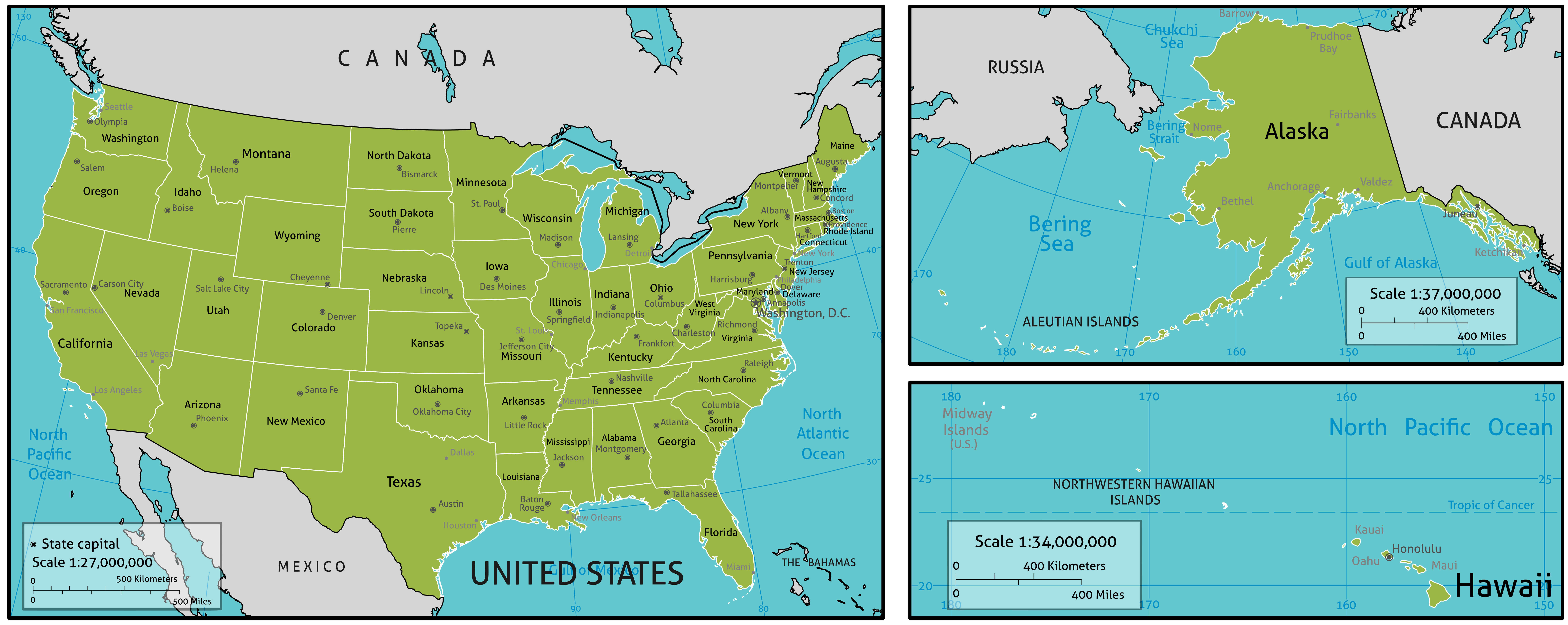
United States and countries map in North America
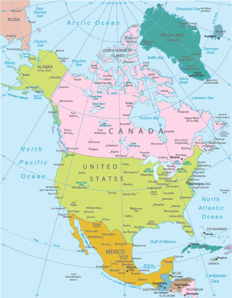
United States and North America blank map
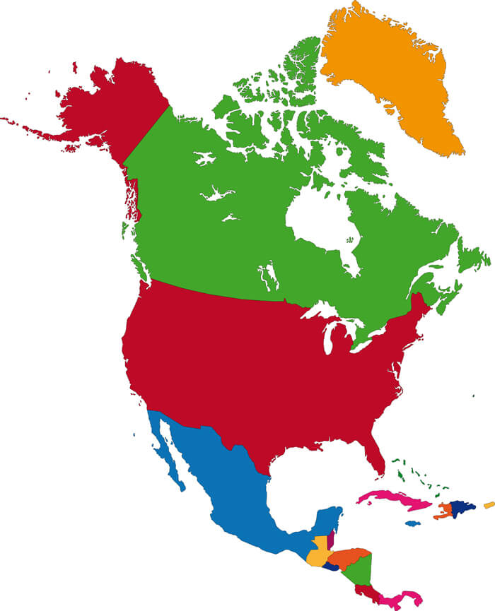
United States and North America physical map
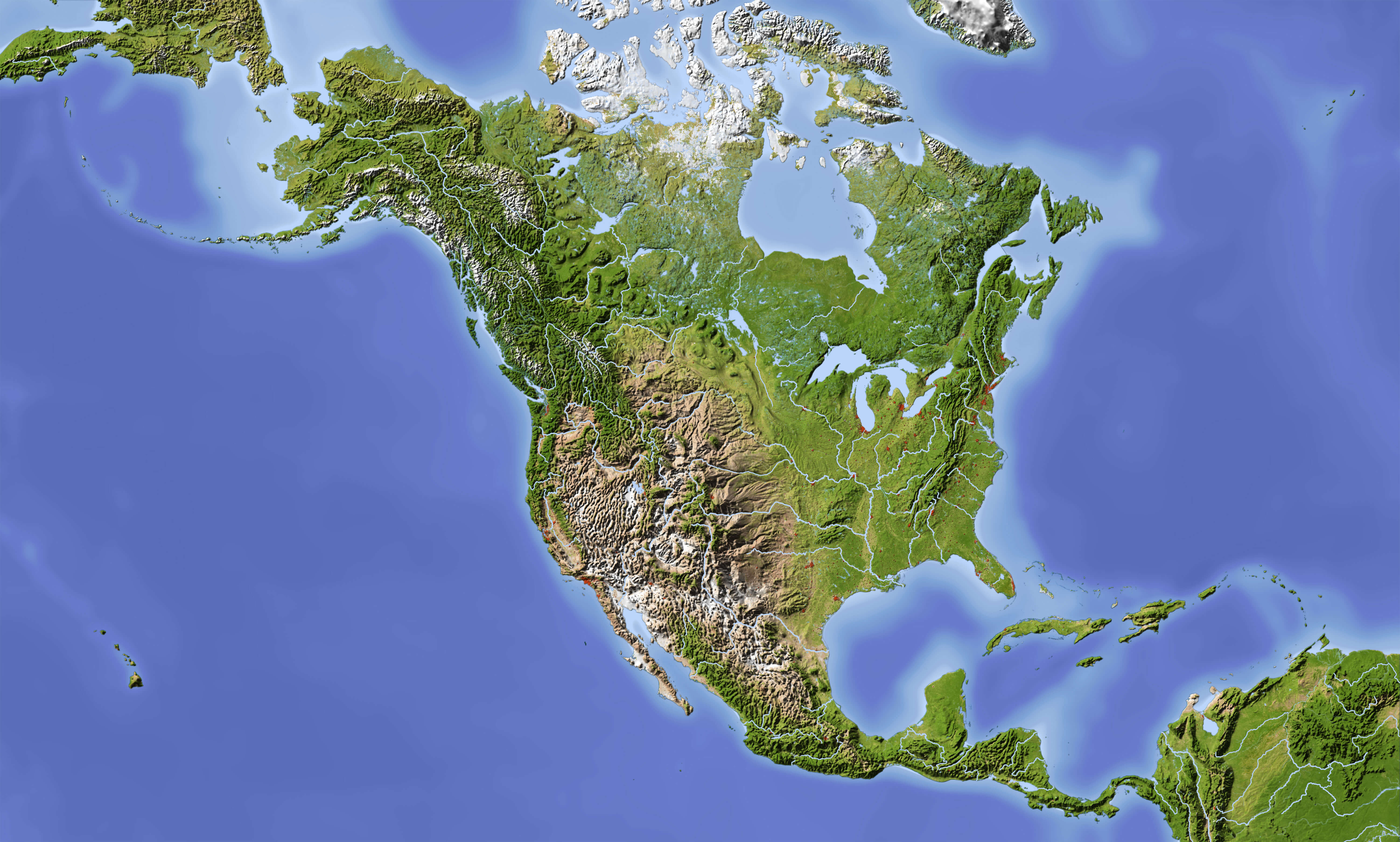
United States and North America satellite view
United States cities map by states
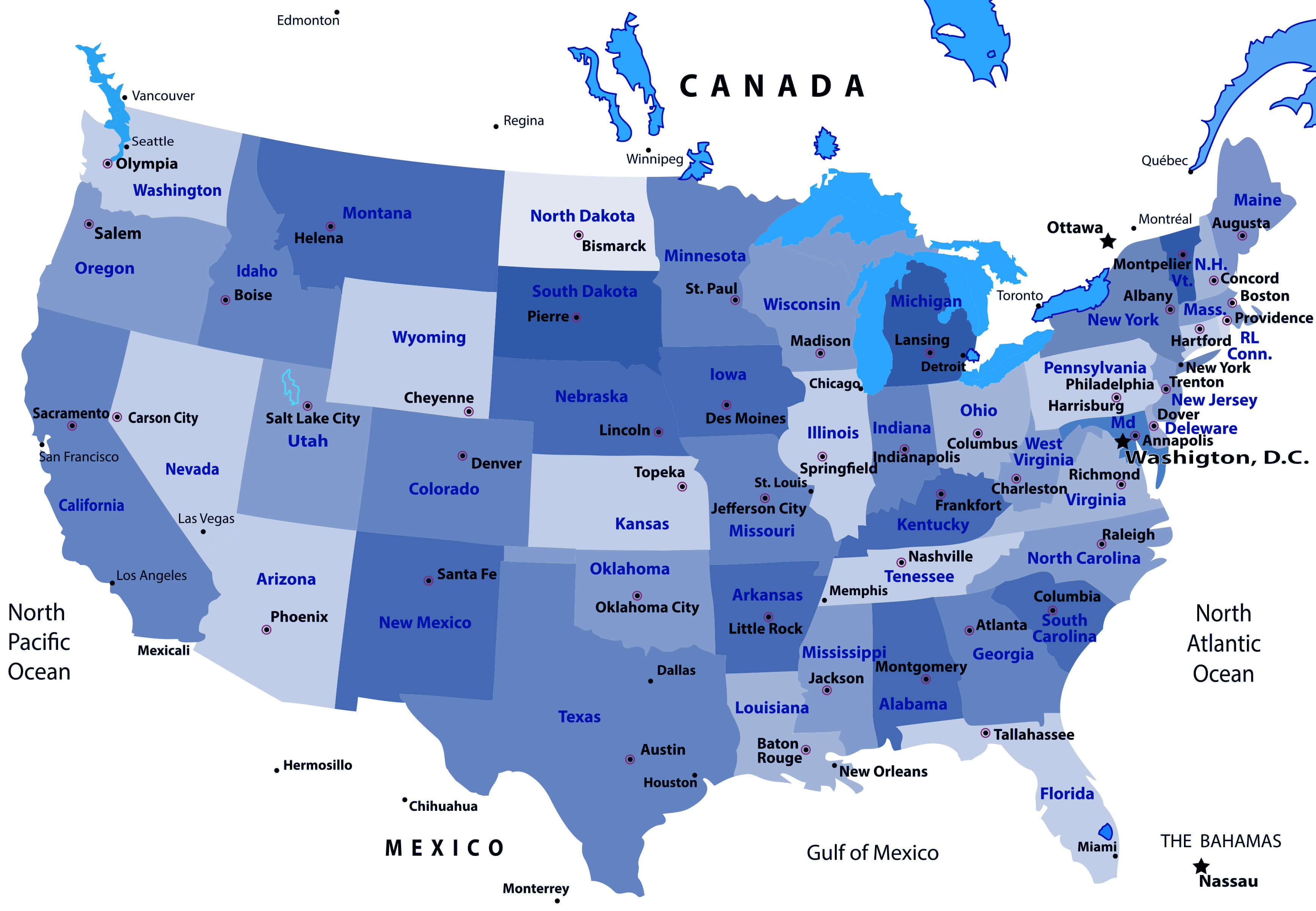
United States colorful map by states
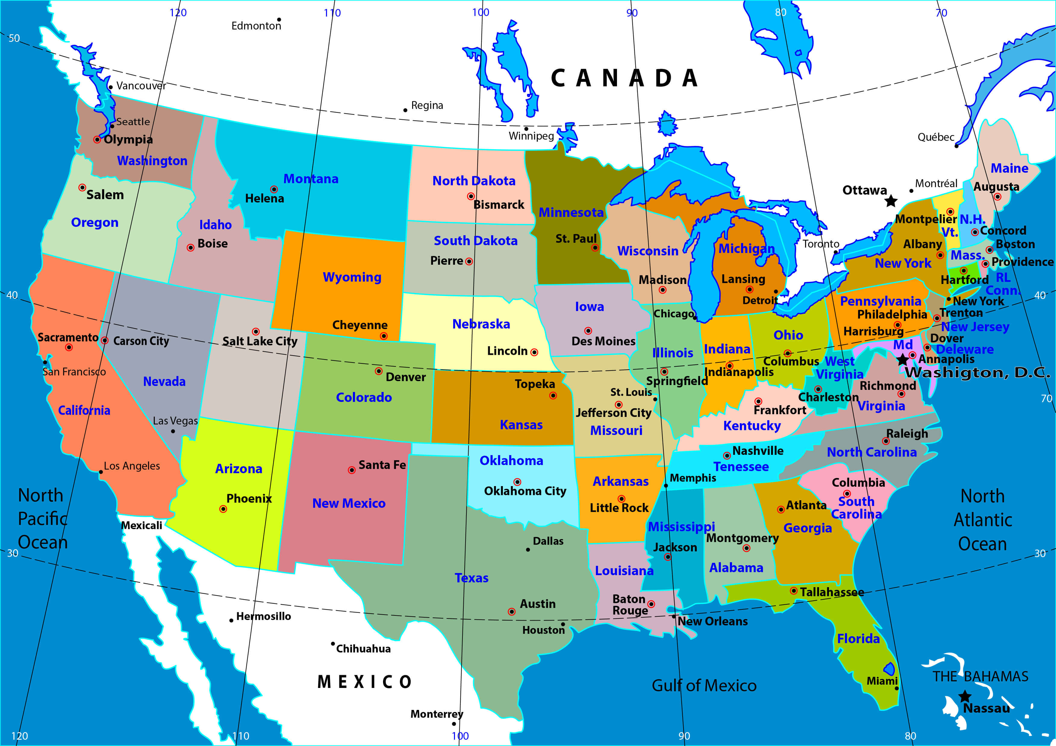
United States interstate highways map
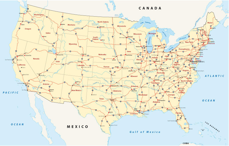
United States map with Alaska and Hawaii
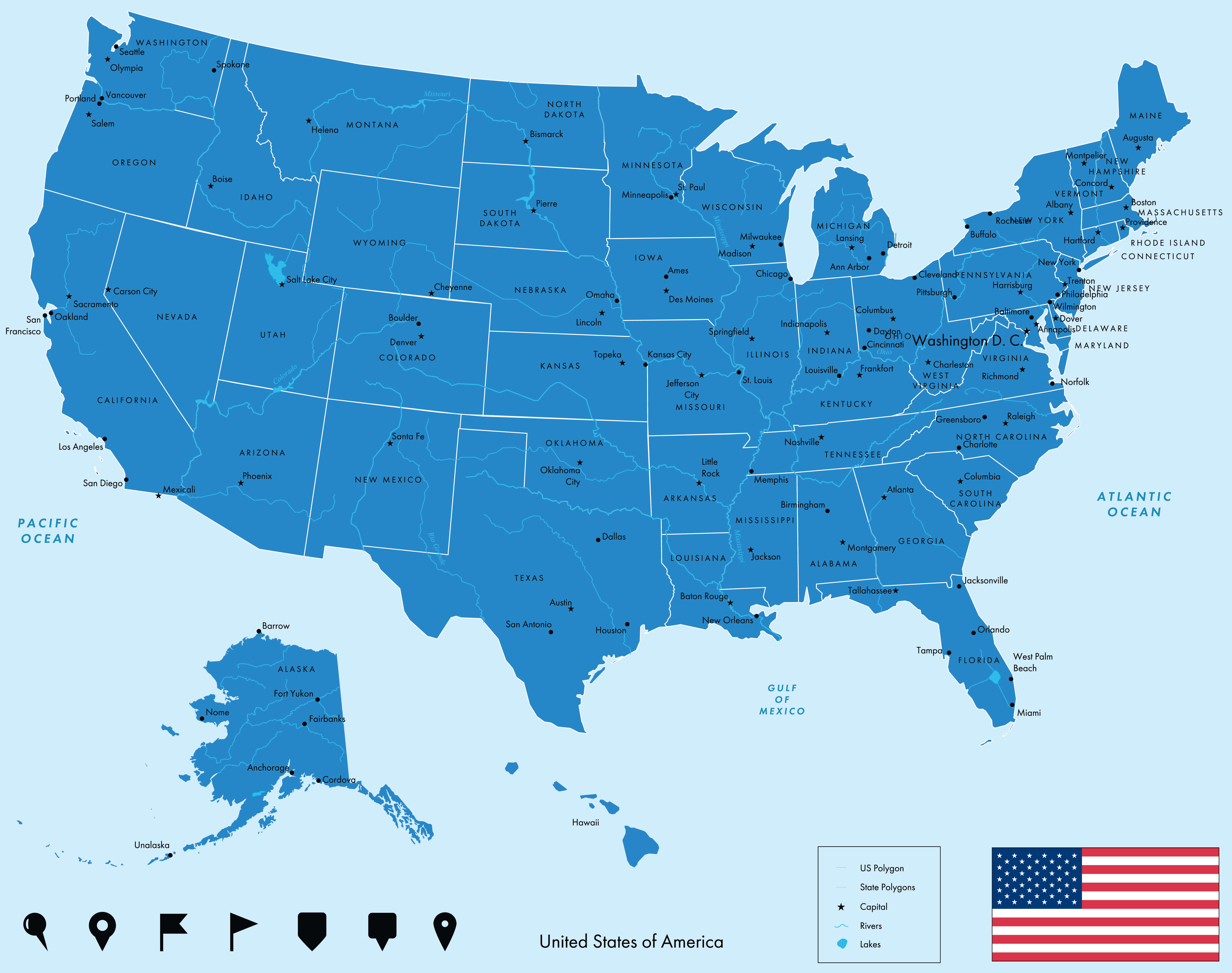
United States north and south America political map
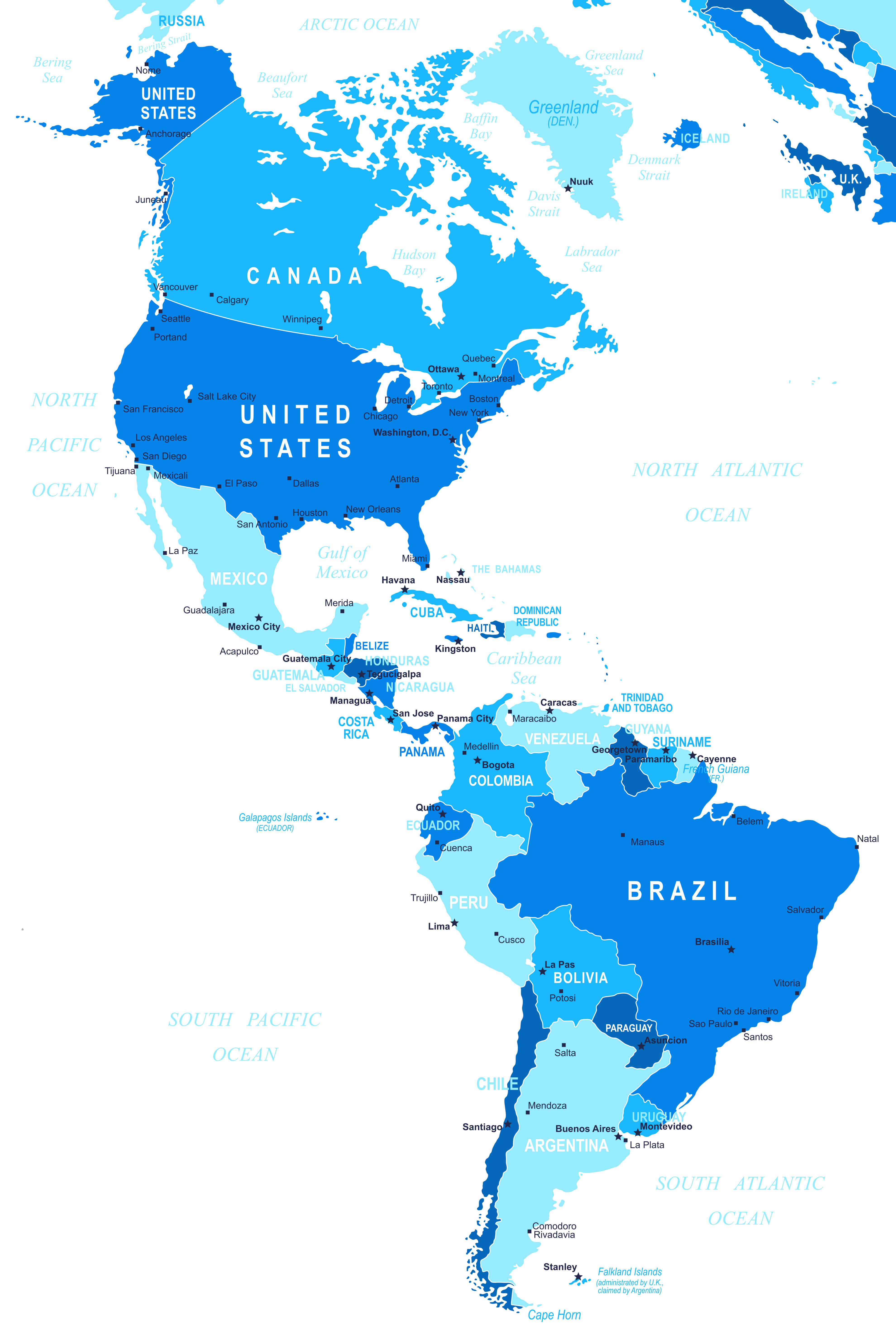
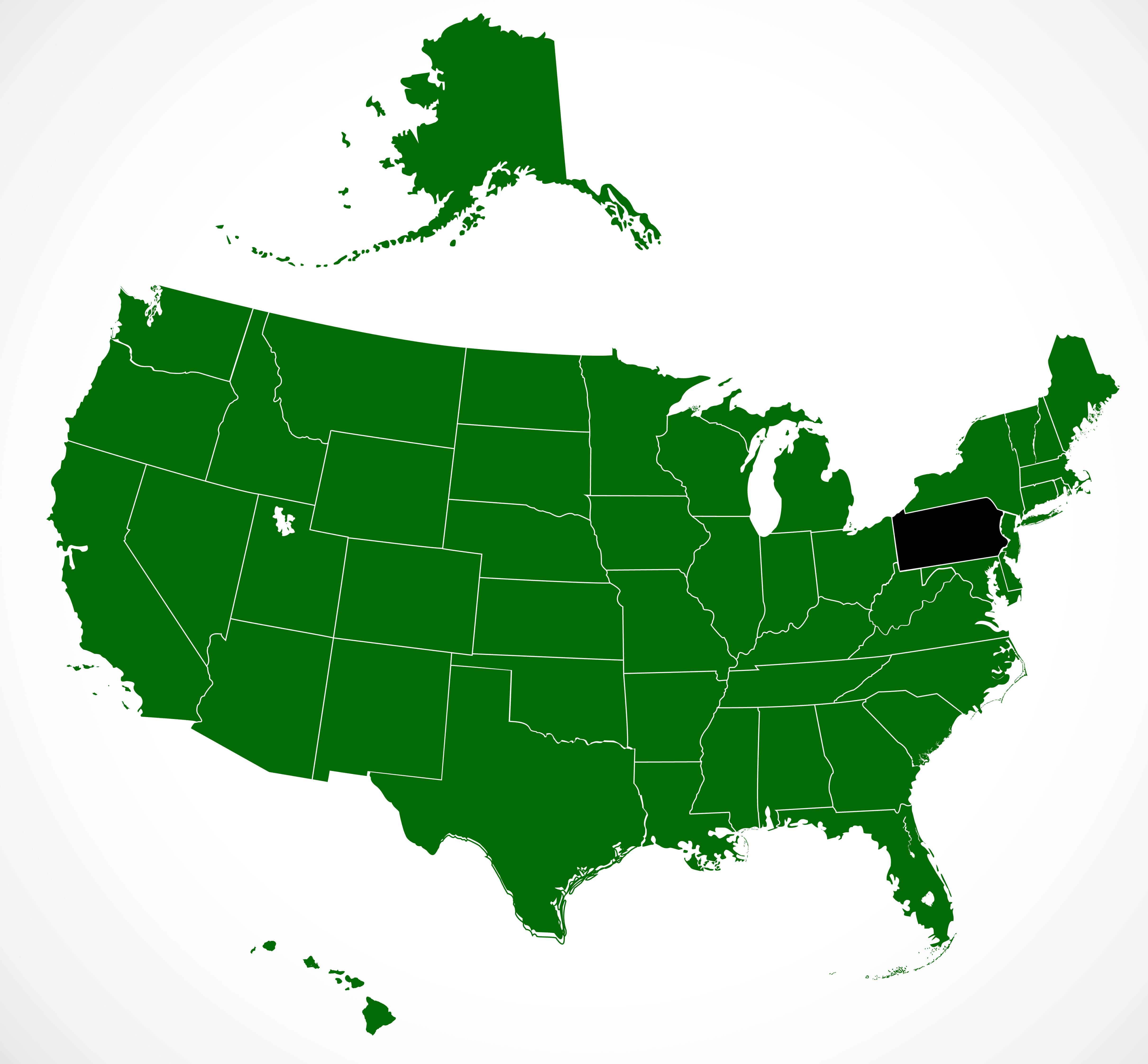
United States of America and Pennsylvania blank map
United States physical map with major cities
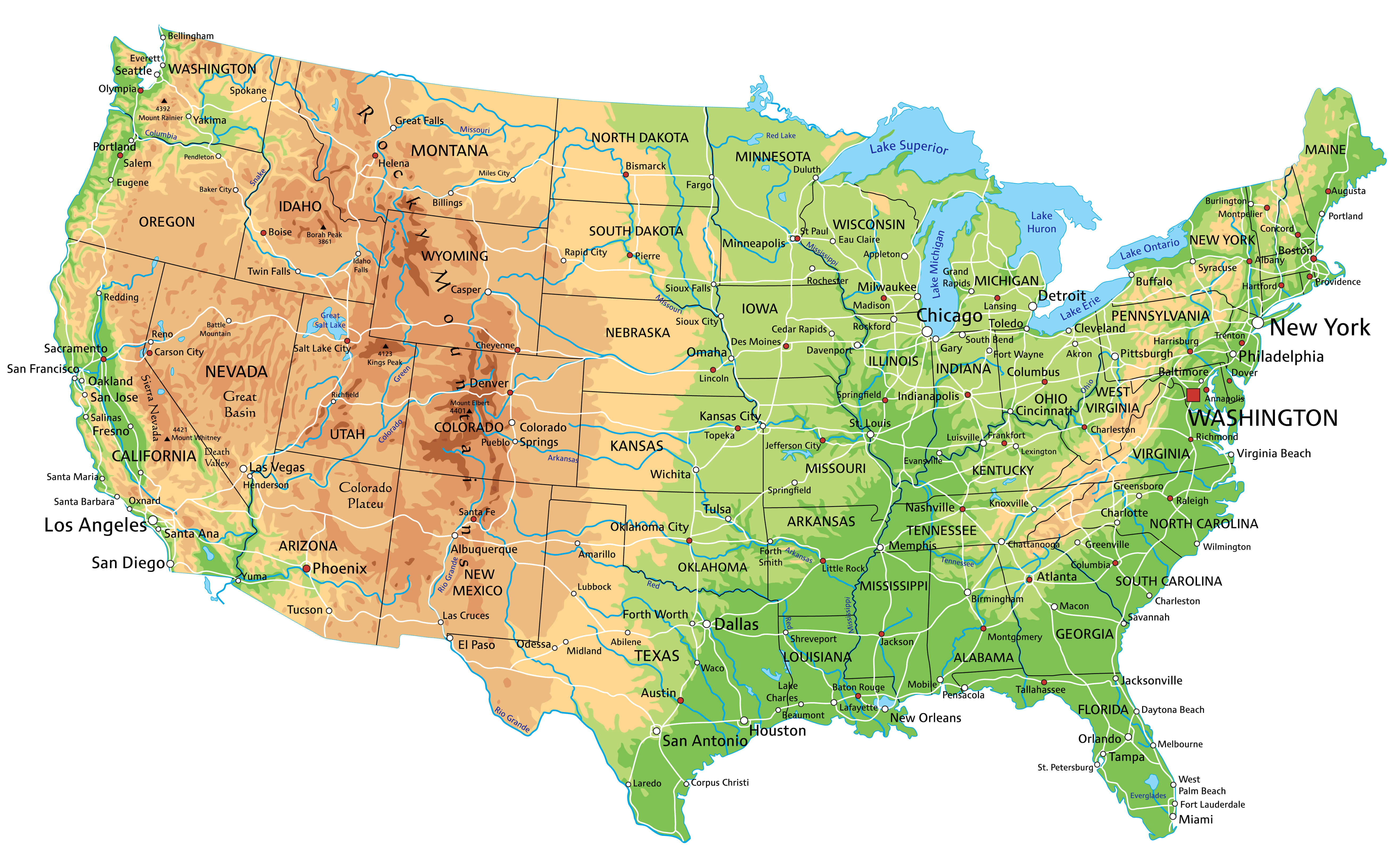
United States physical map
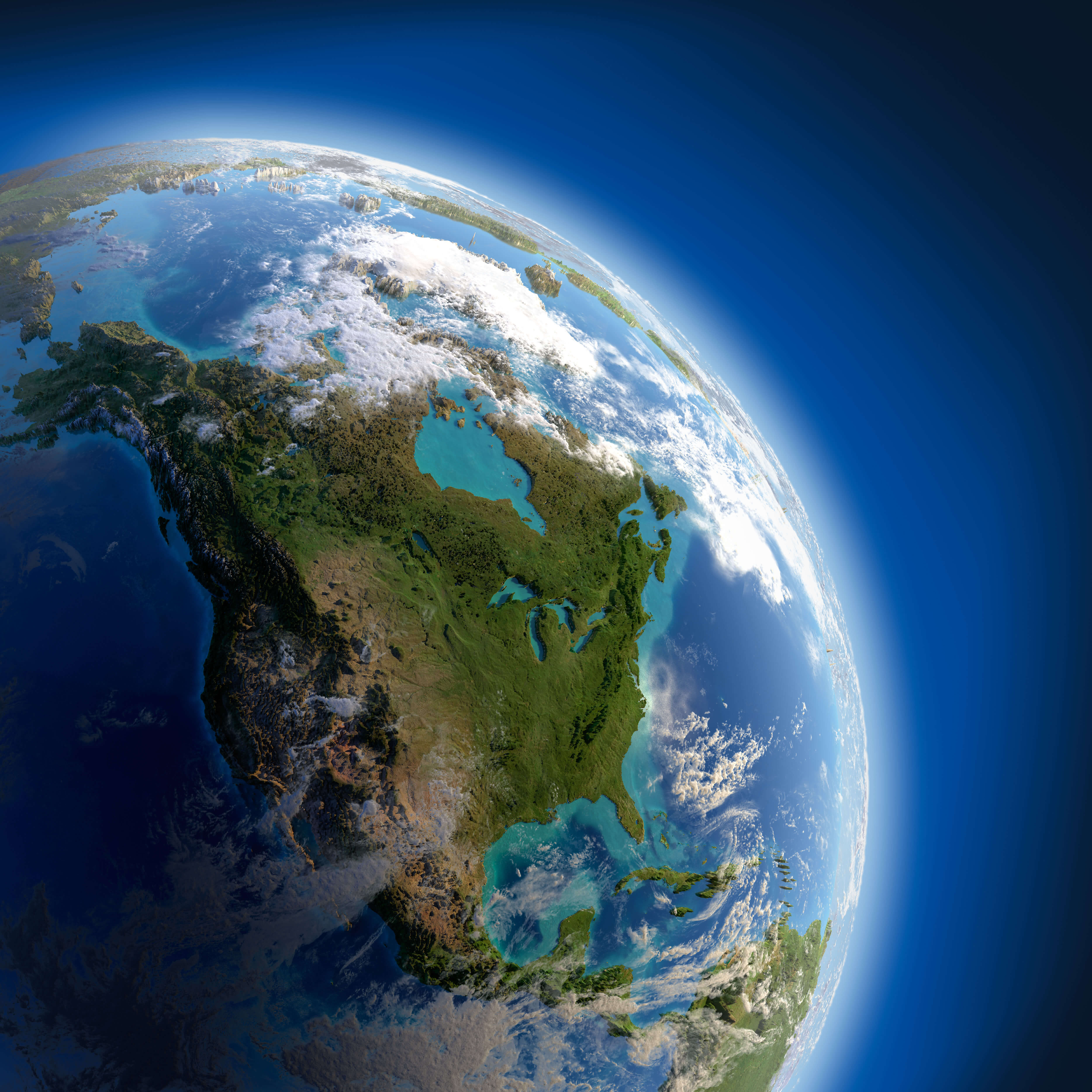
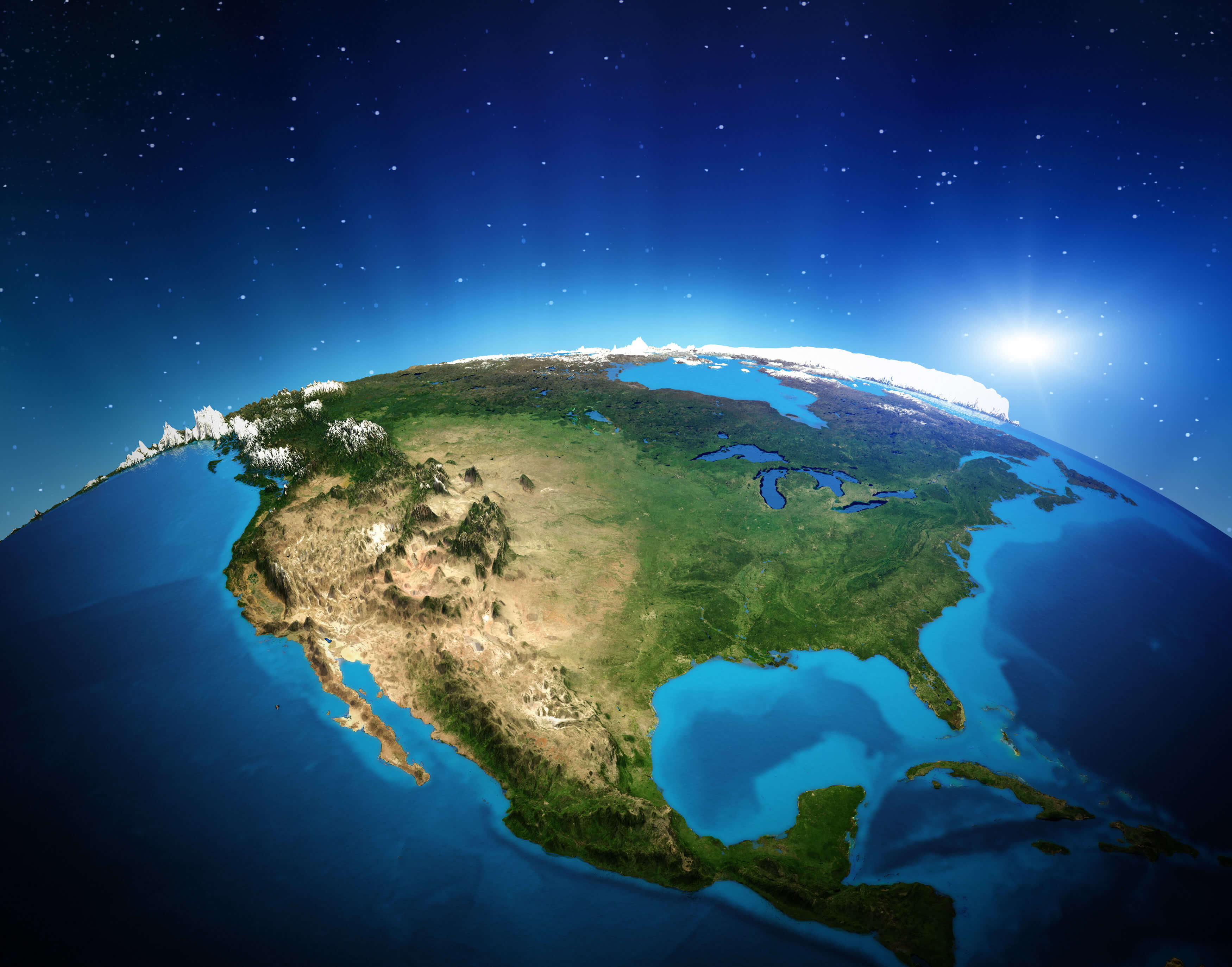
United States satellite view from space
United States telecommunication map
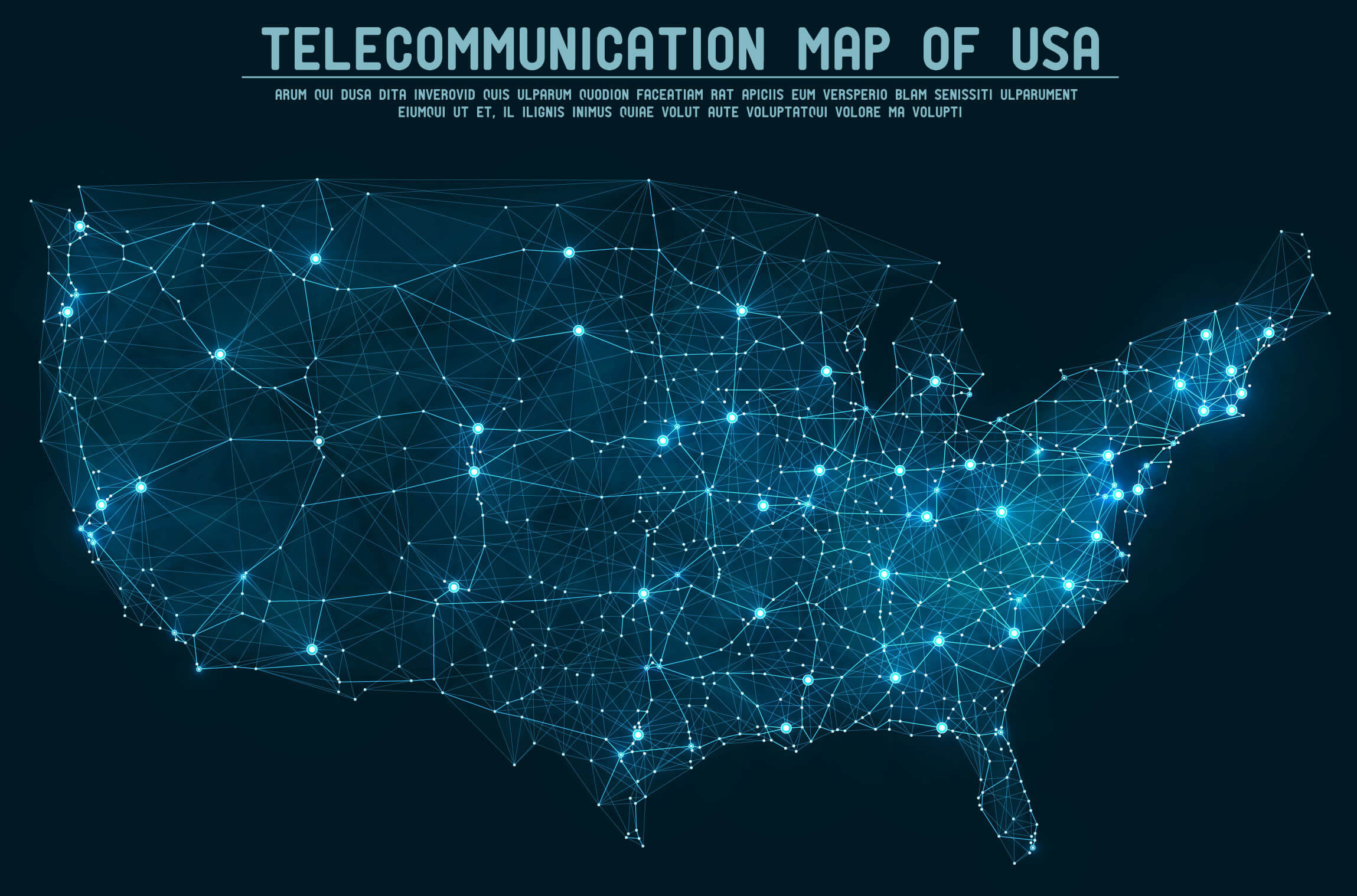
us major cities and lakes map
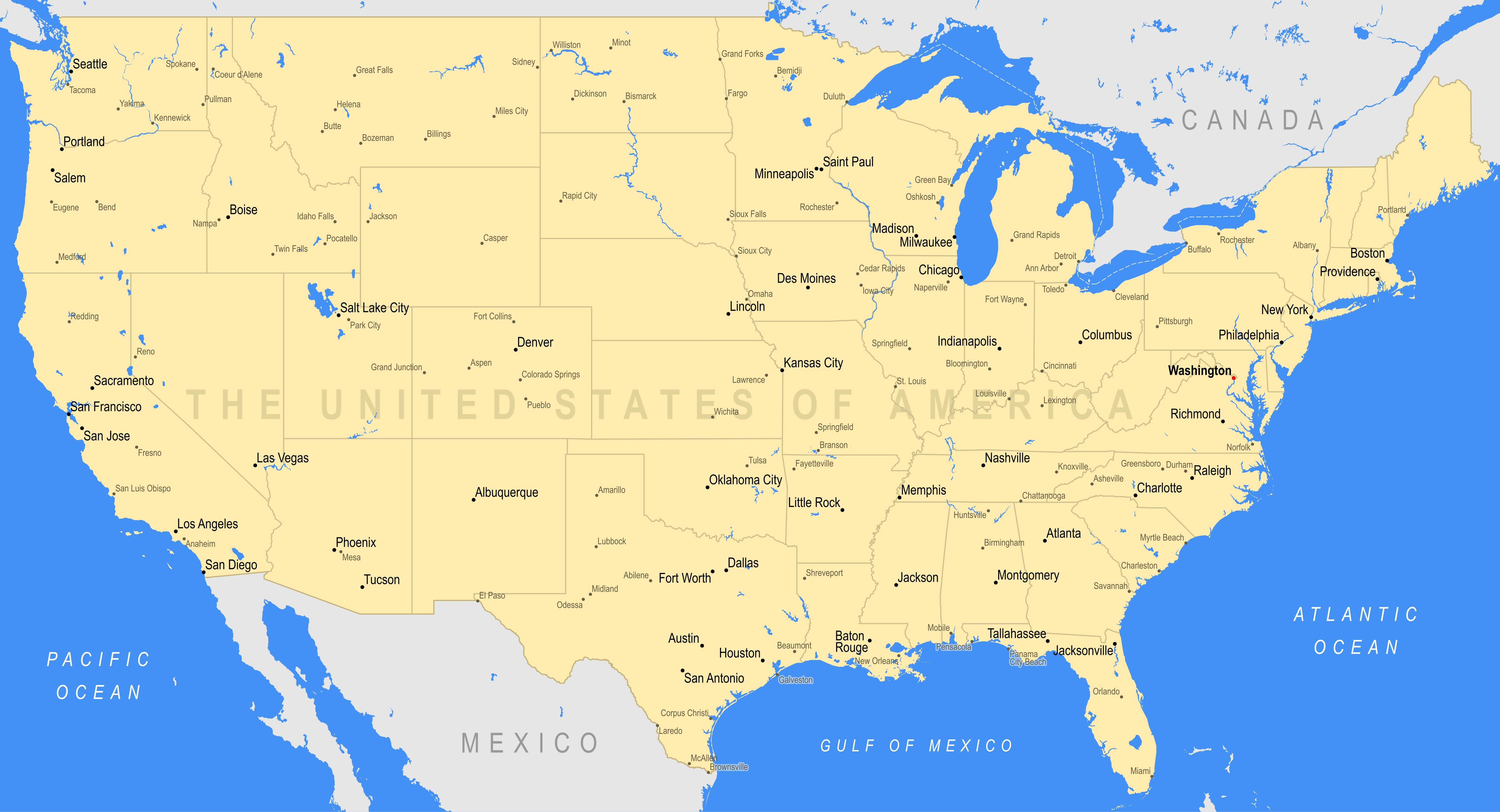
Where is the United States on the World Map?
Show Google map, satellite map, where is the country located.
Get directions by driving, walking, bicycling, public transportation and travel with street view.
Feel free to explore US states maps:
- United States Map ↗️
- US Maps ↗️
- Map of United States ↗️
- US States Map ↗️
- United States States Map ↗️
- Political Map of the US ↗️
- US Cities Map ↗️
- United States Capitals Map ↗️
- US States Capitals Map ↗️
- United States Cities Map ↗️
- United States Political Map ↗️
- US Physical Map ↗️
- US High-resolution Map ↗️
- United States High-resolution Map ↗️
- US Population Map ↗️
- United States Population Map ↗️
- US Time Zone Map ↗️
- US Blank Map ↗️
- United States Physical Map ↗️
- United States Blank Map ↗️
- Gulf of America (The Gulf of Mexico) Map ↗️
- United States Time Zone Map ↗️
- California Time Zone Map ↗️
- Texas Time Zone Map ↗️
- New York Time Zone Map ↗️
- Florida Time Zone Map ↗️
- California Map ↗️
- Texas Map ↗️
- New York Map ↗️
- Florida Map ↗️
- Illinois Map ↗️
- Pennsylvania Map ↗️
- Ohio Map ↗️
- Michigan Map ↗️
- Georgia Map ↗️
- New Jersey Map ↗️
- North Carolina Map ↗️
- Virginia Map ↗️
- Massachusetts Map ↗️
- North America Map ↗️
- Advertisement -
