- Advertisement -
Discover high-resolution physical maps of the United States that includes blank and topographic maps, shaded-relief and vector files, printable wall maps and wallpapers, and versions showing the World, North America, Alaska & Hawaii, Canada & Mexico borders, major cities, interstate highways, rivers, lakes, elevation and terrain. Whether you need a detailed topo map by state, a simple blank physical template, or a ready-to-print wall map with capitals and transport layers, find fast downloads and print-ready options here to suit teaching, design, or fieldwork needs.
Physical map of the United States
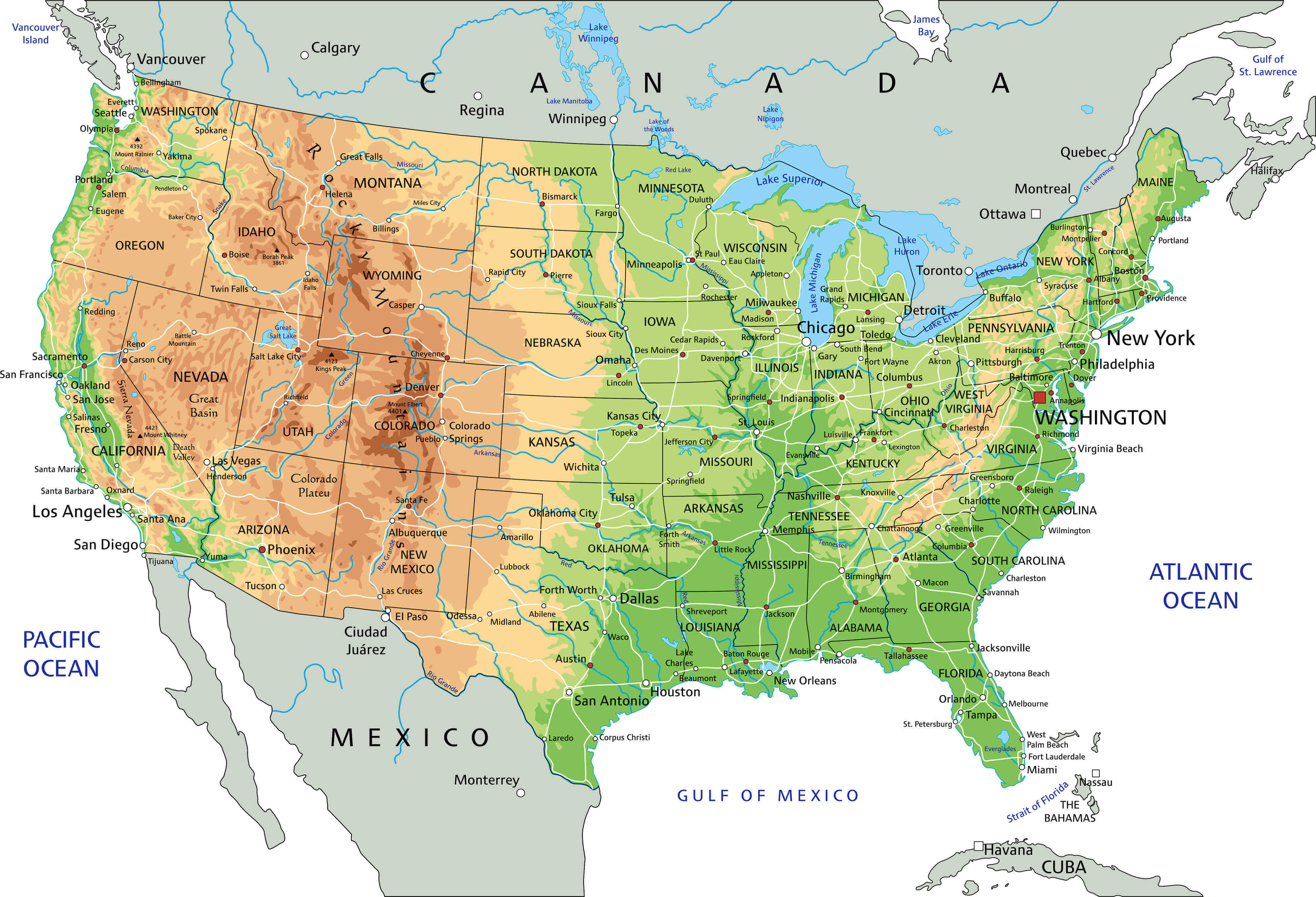 Physical map of the United States showing shaded relief, rivers, cities, and state borders.
United States physical map with Alaska & Hawaii
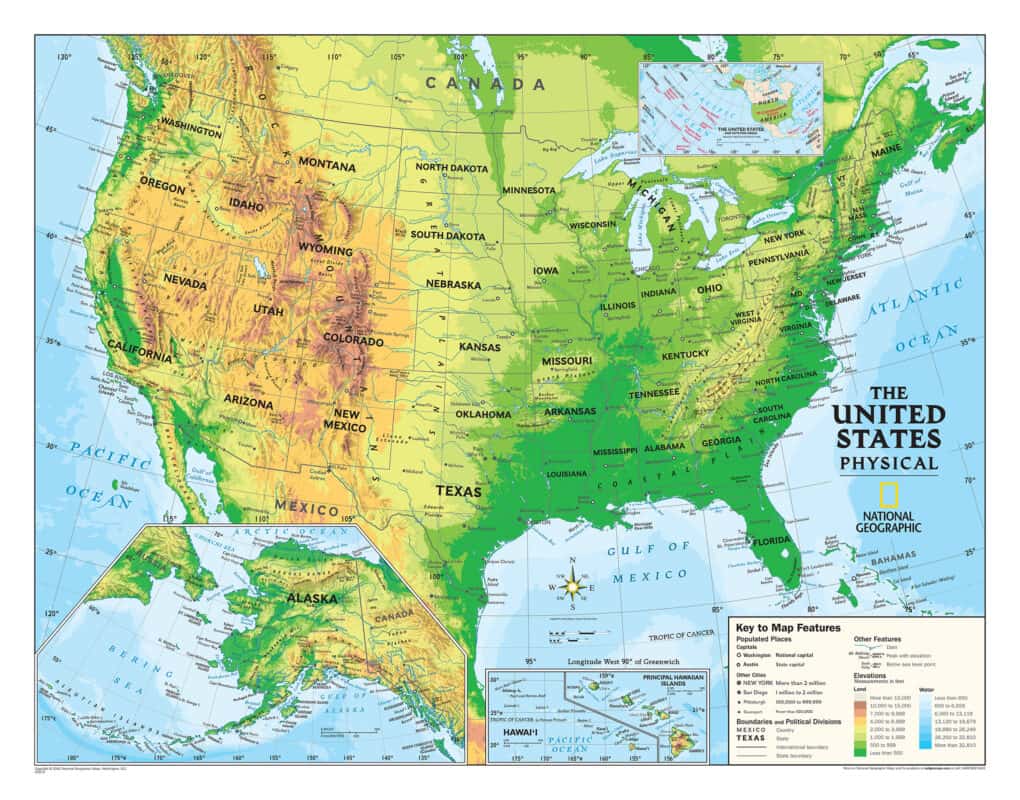 United States physical map showing shaded relief with Alaska and Hawaii insets.
High resolution United States blank physical map
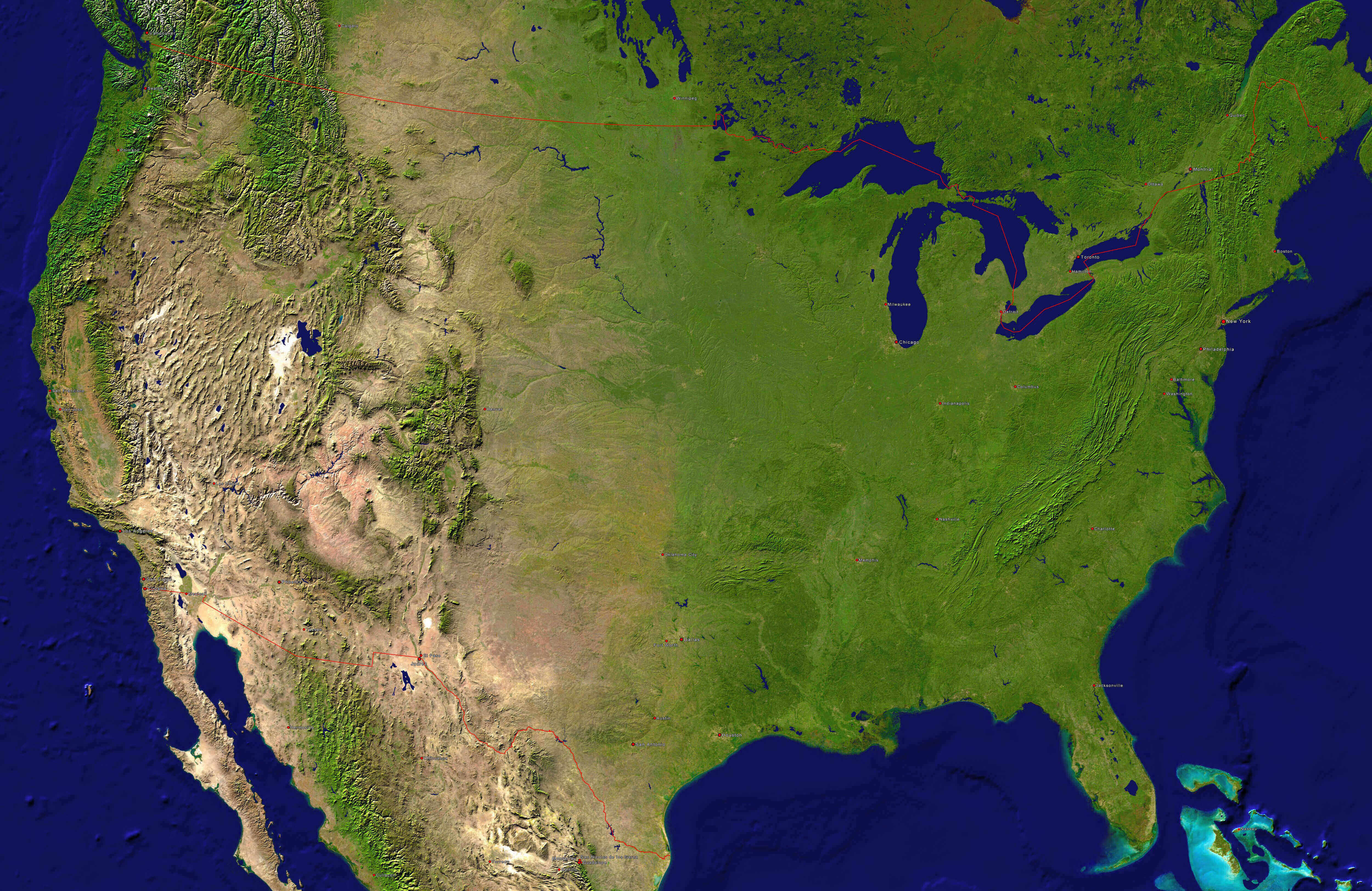
High resolution United States topography map
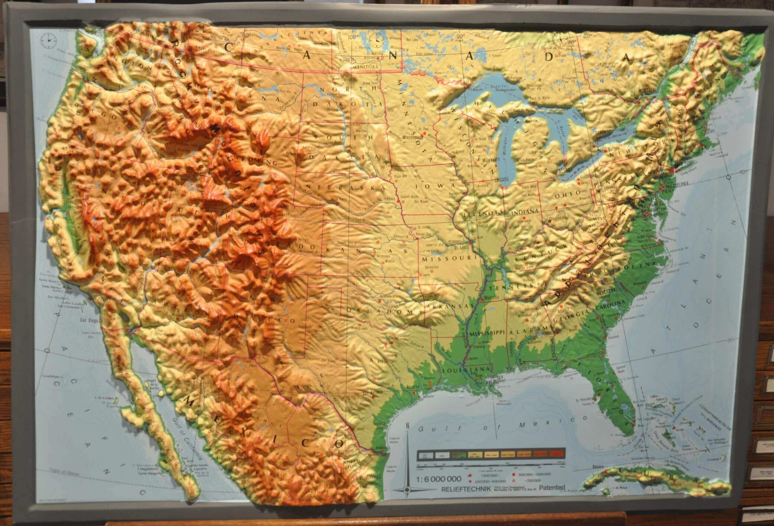
North America and United States physical map
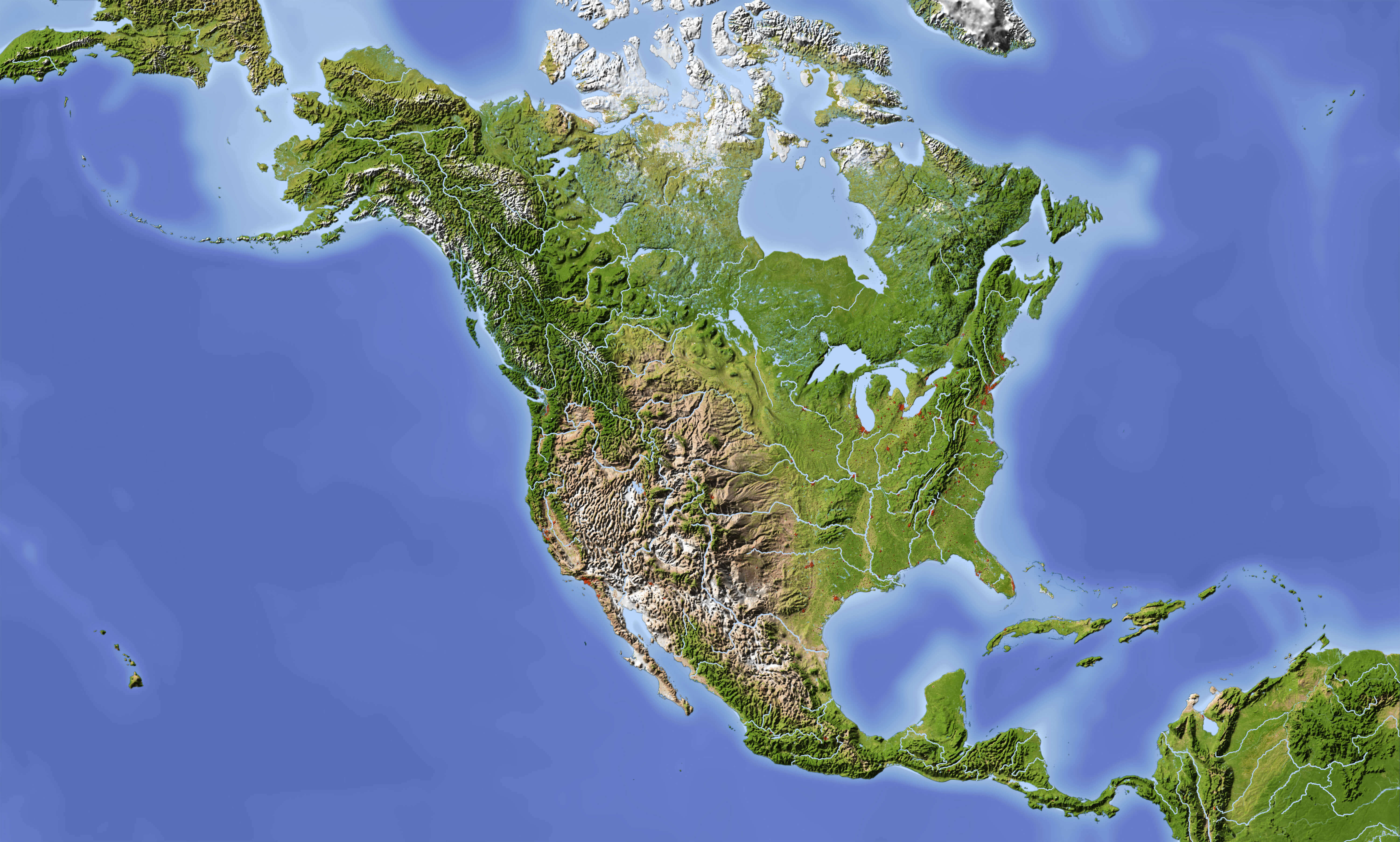
Physical and topographic map of the United States
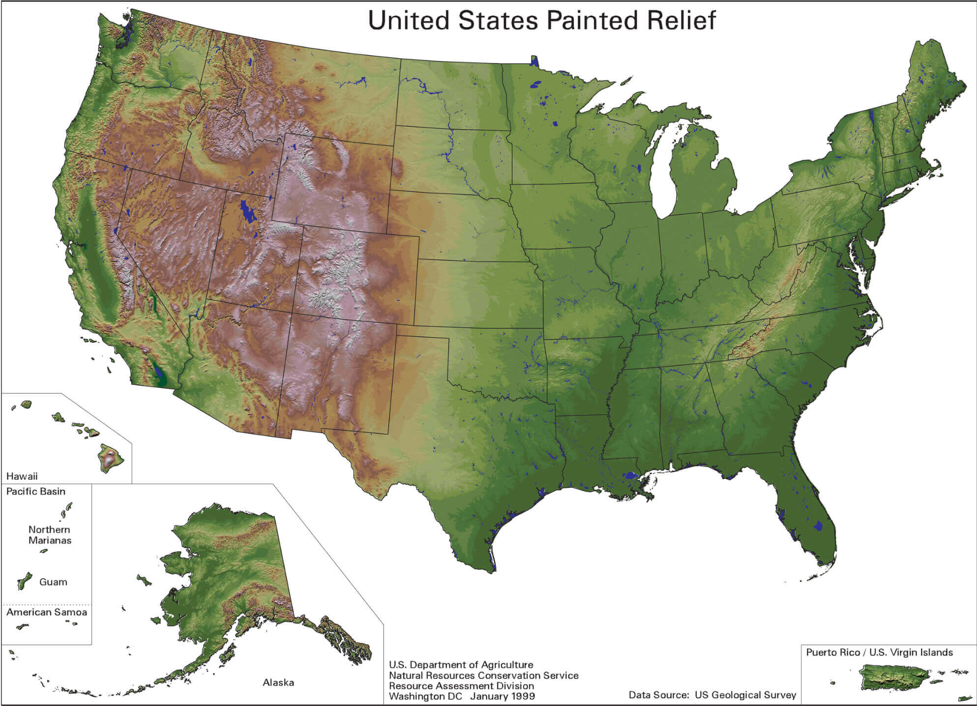
Physical map of United States by land elevation
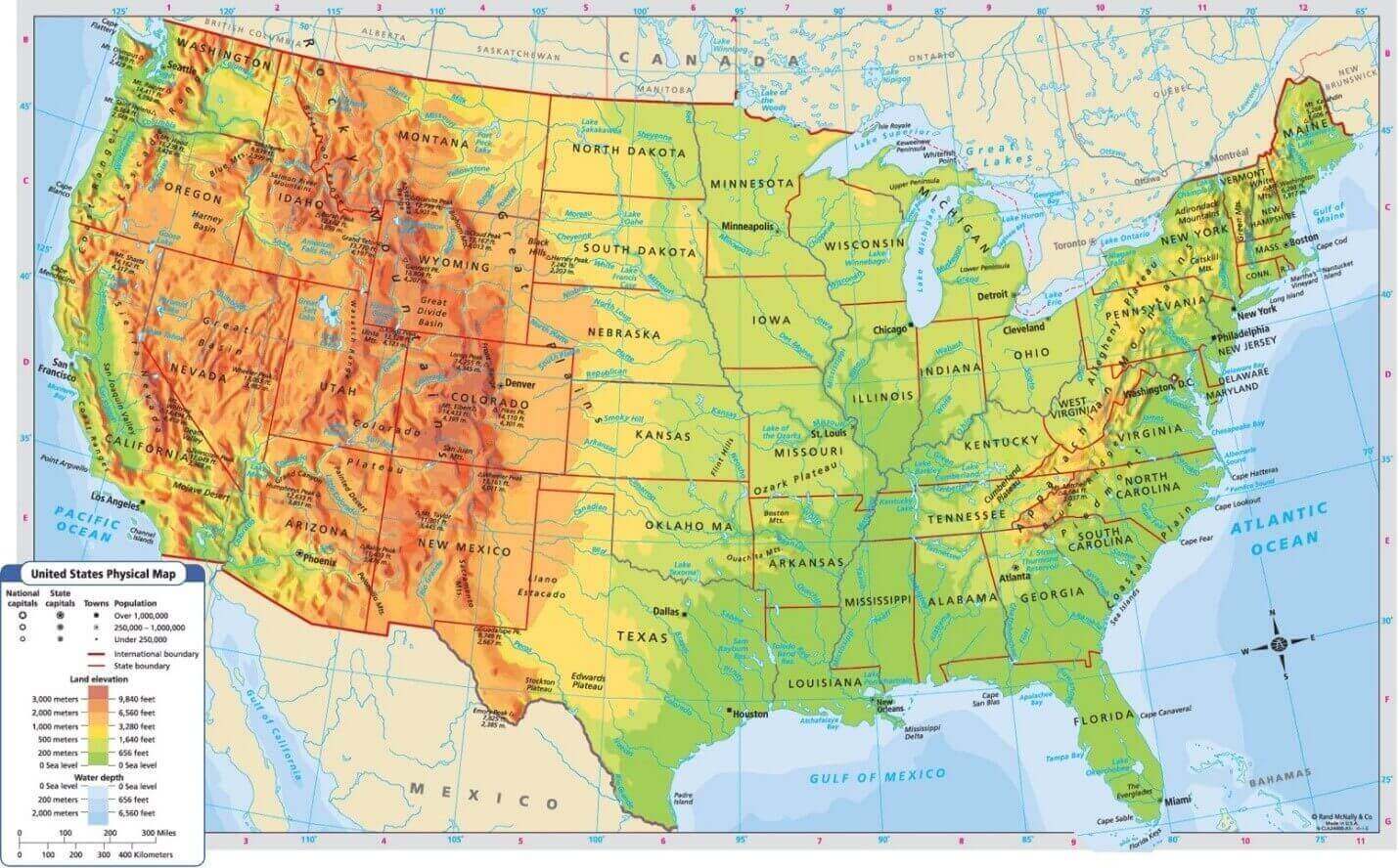
Physical map of United States
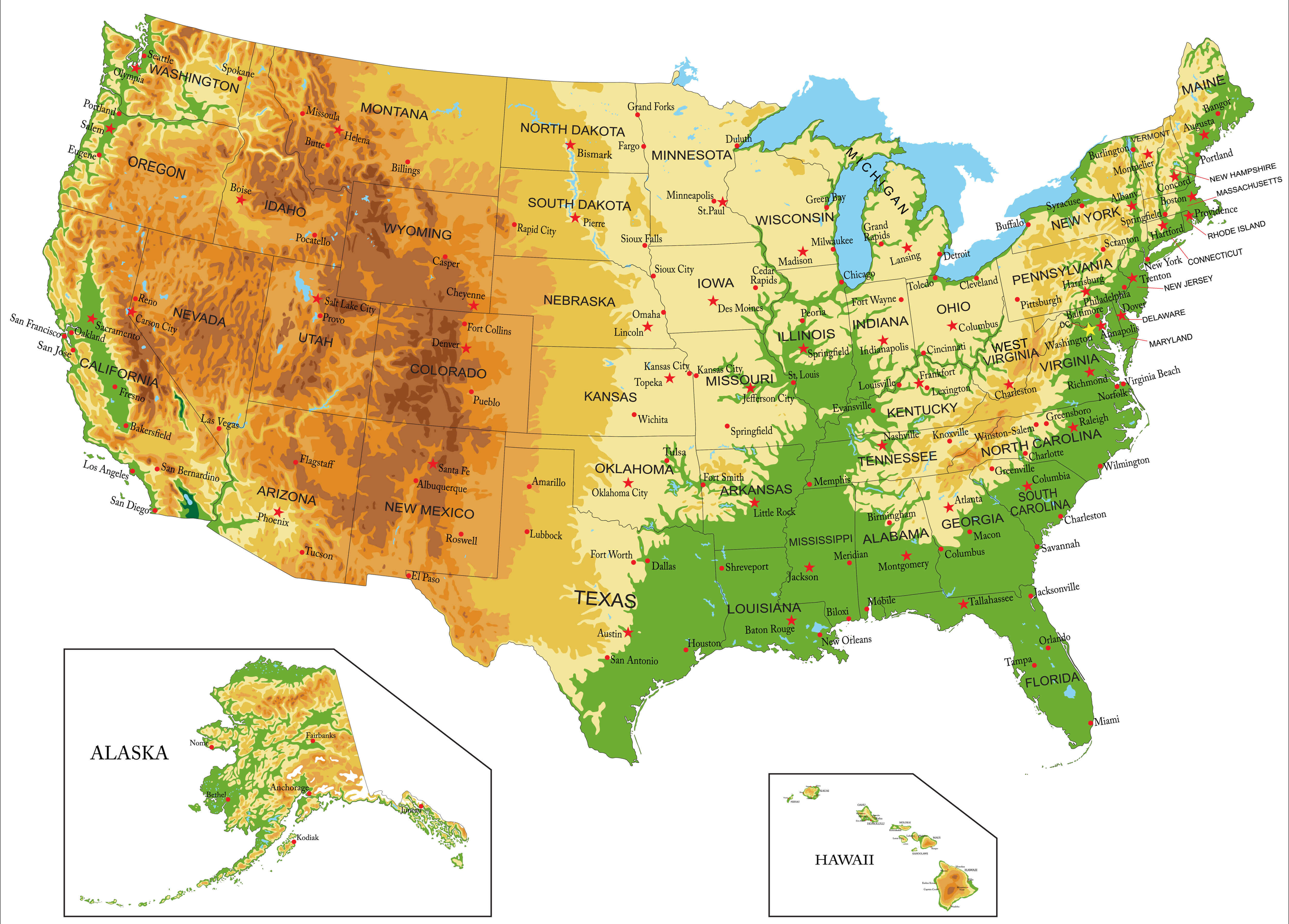
Physical vector map of United States of America
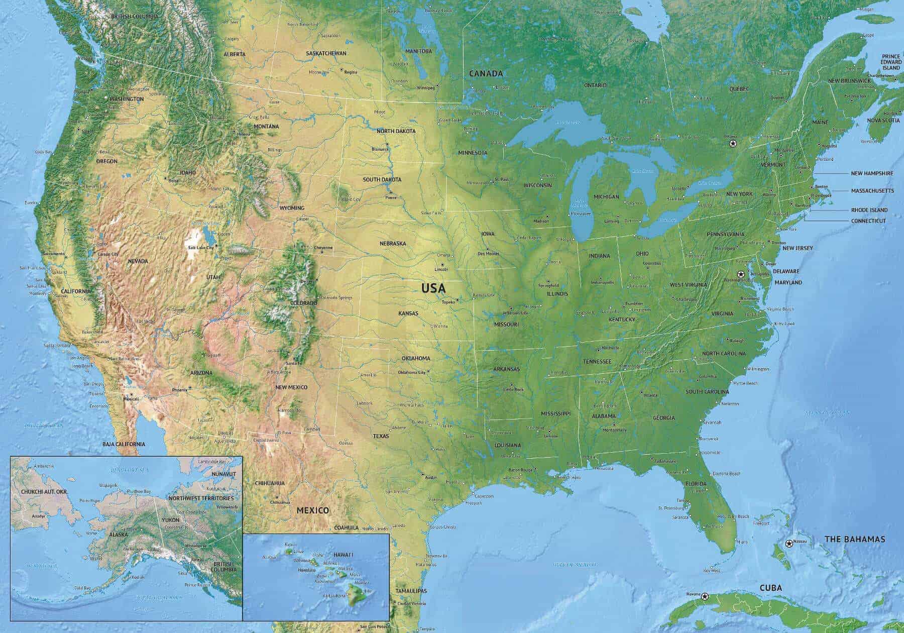
The United States of America physical map by states capital

United States Canada Mexico physical map
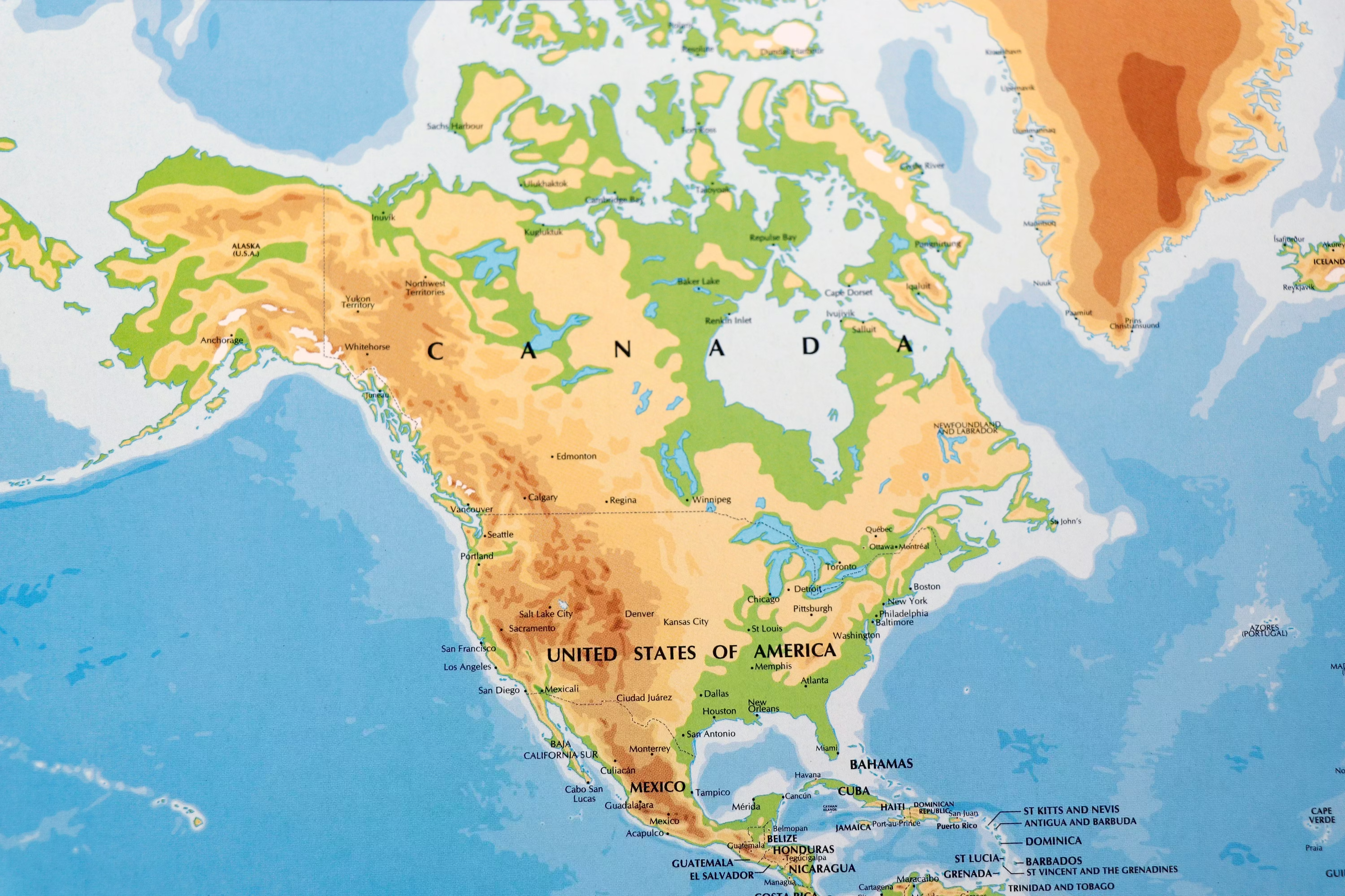
United States north and central America physical map
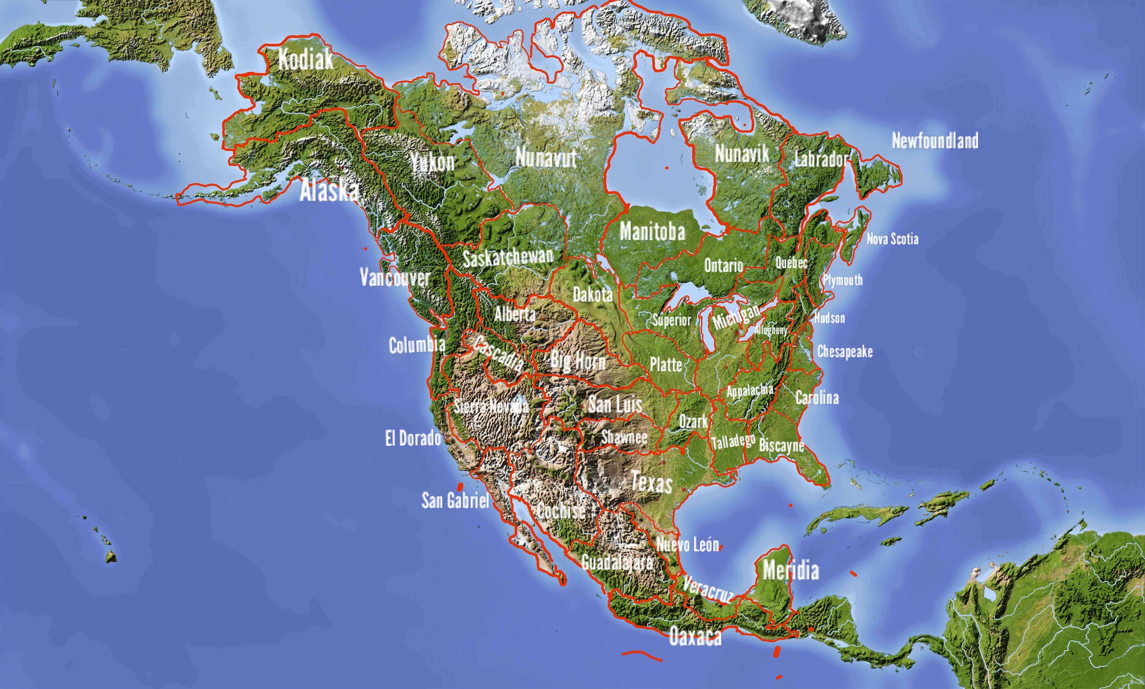
United States of America and central America physical wall map
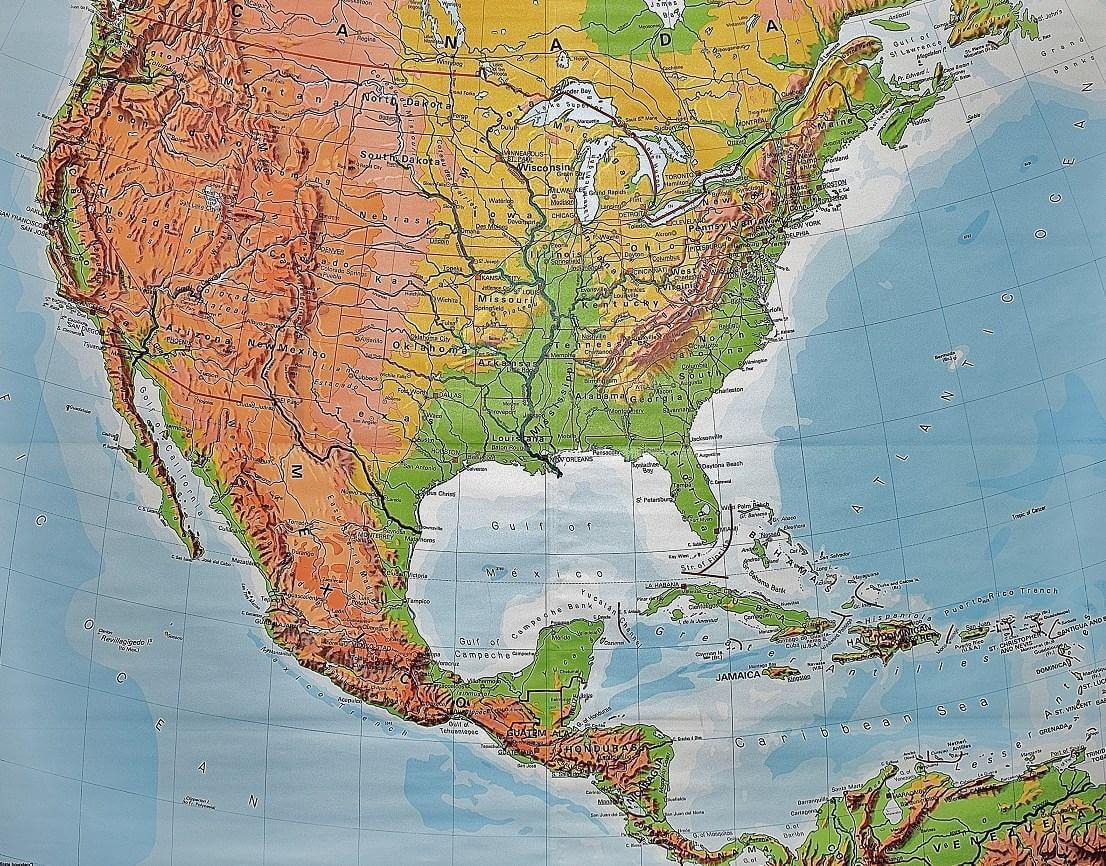
United States of America physical map by states
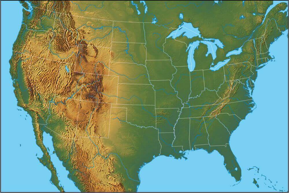
United States of America physical map with free vector
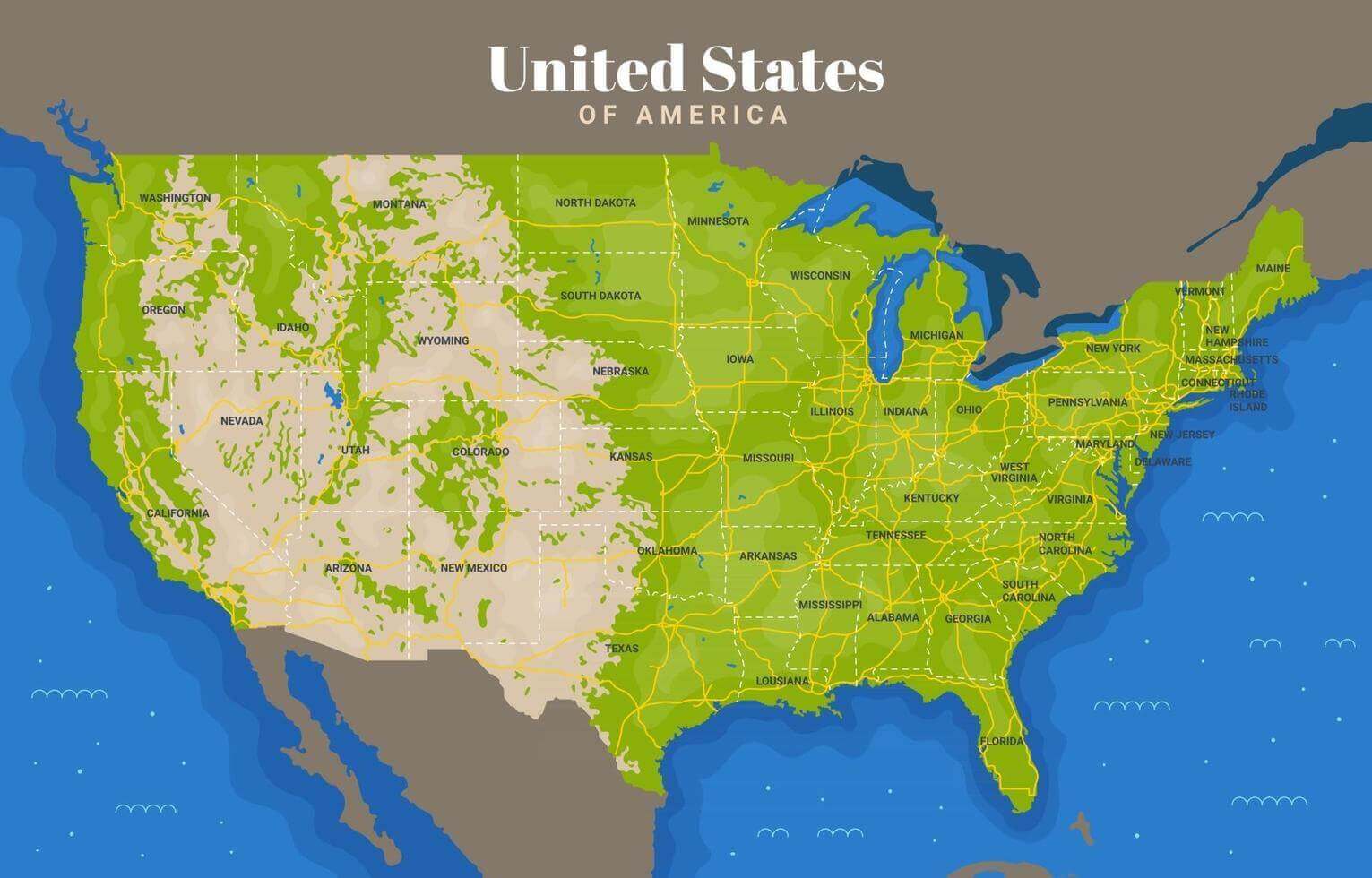
United States of America physical map
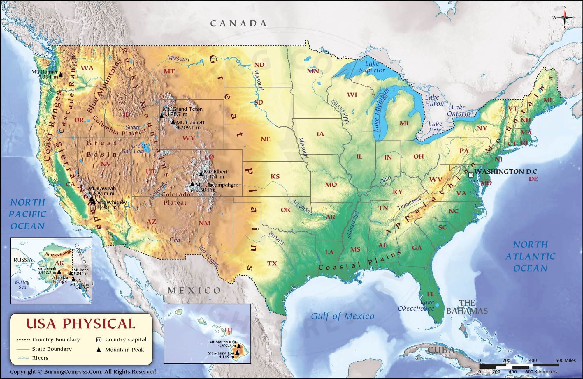
United States of America physical maps
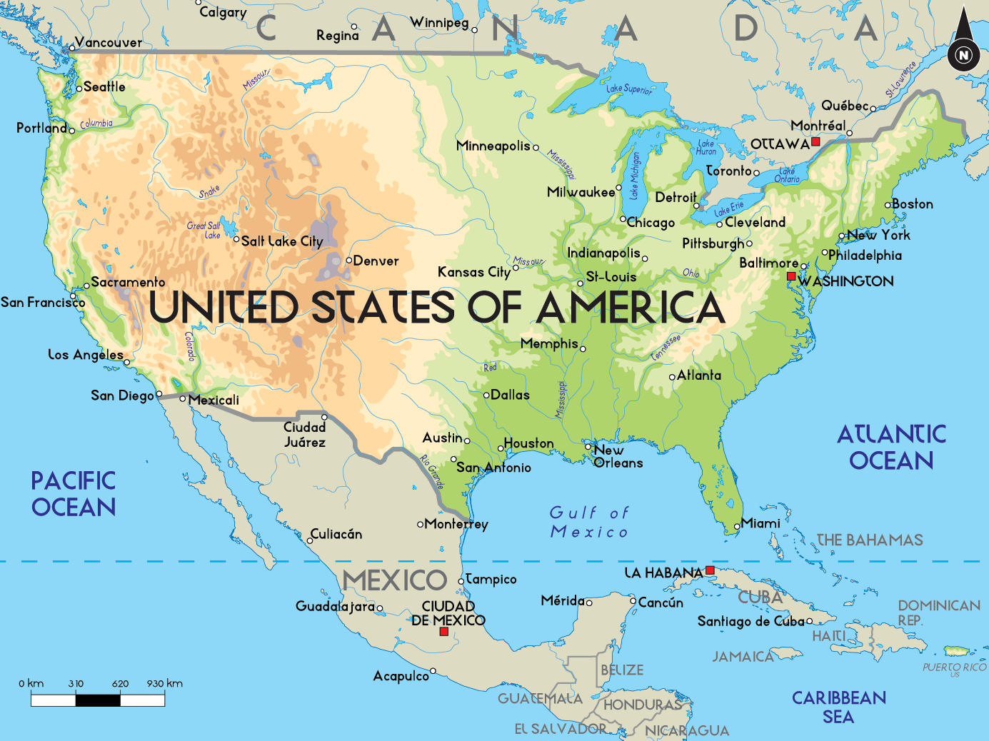
United States of America wall physical map
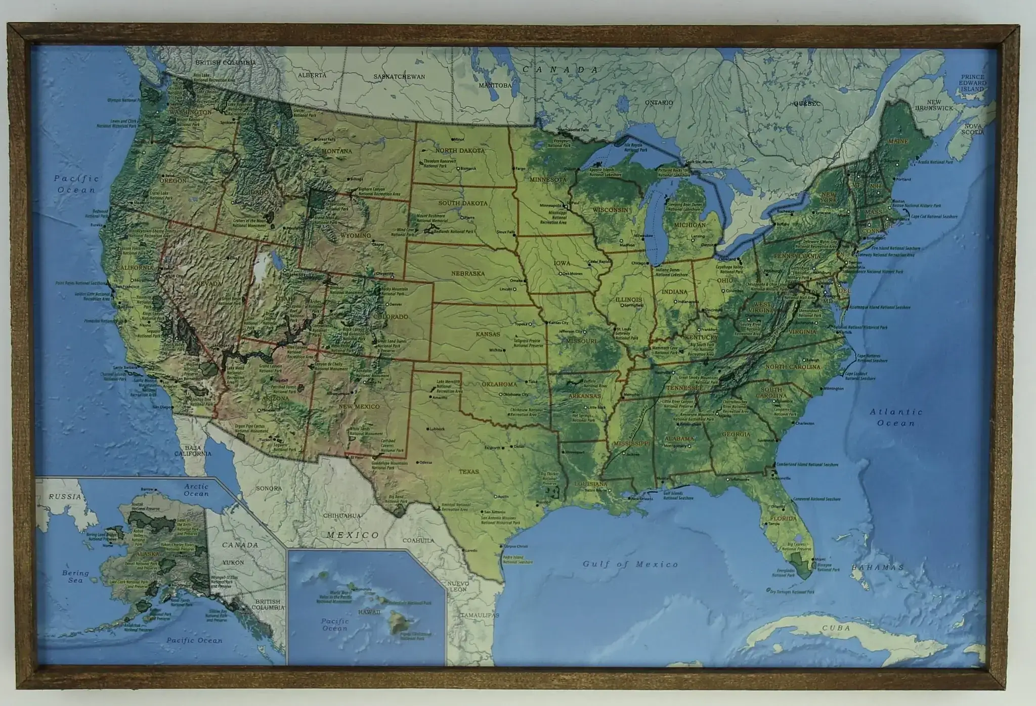
United States physical and lands map
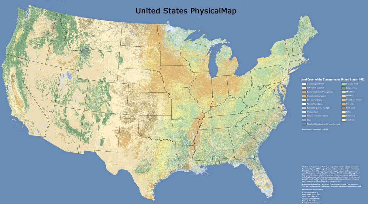
United States physical and terrain map
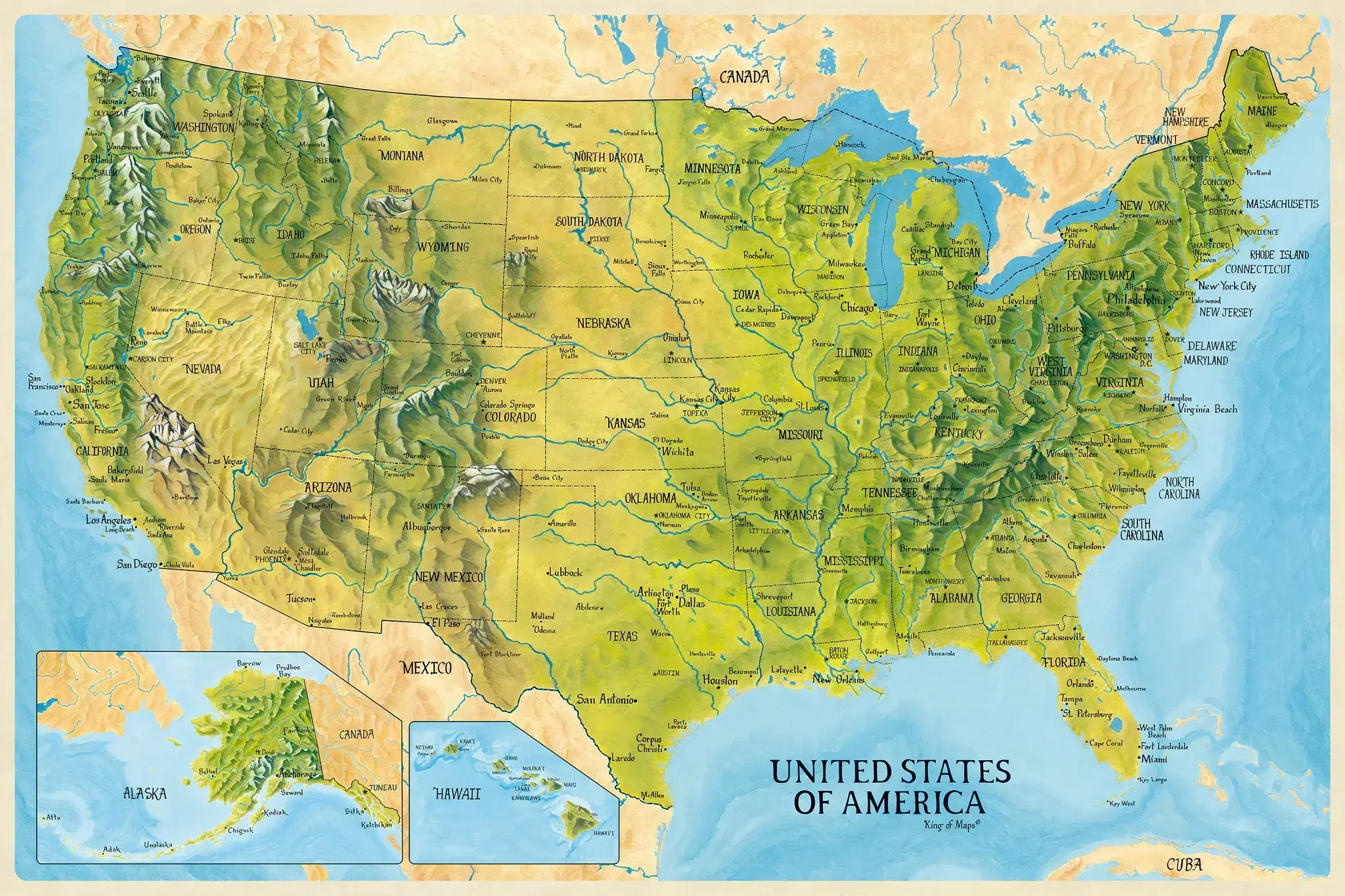
United States physical and topo map
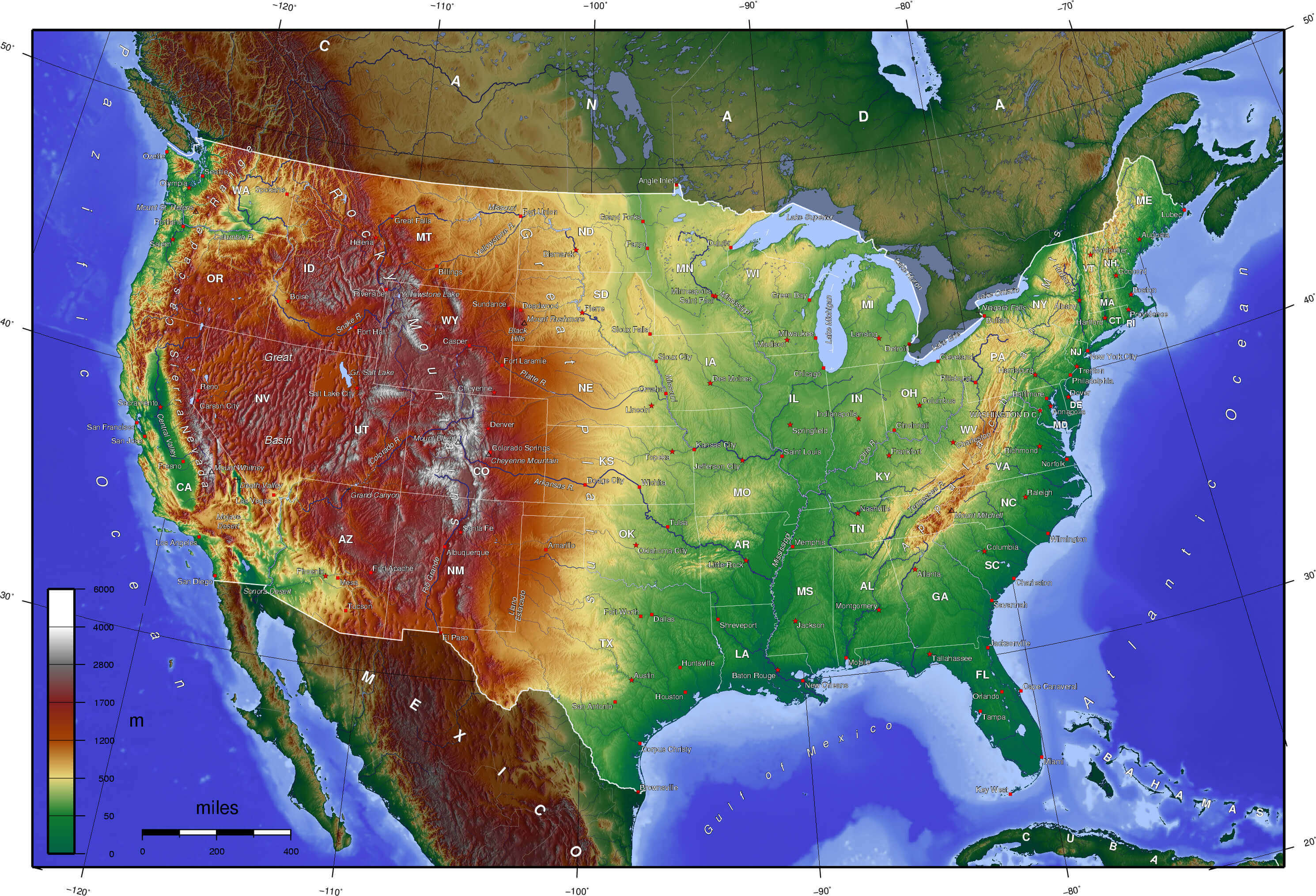
United States physical map in english
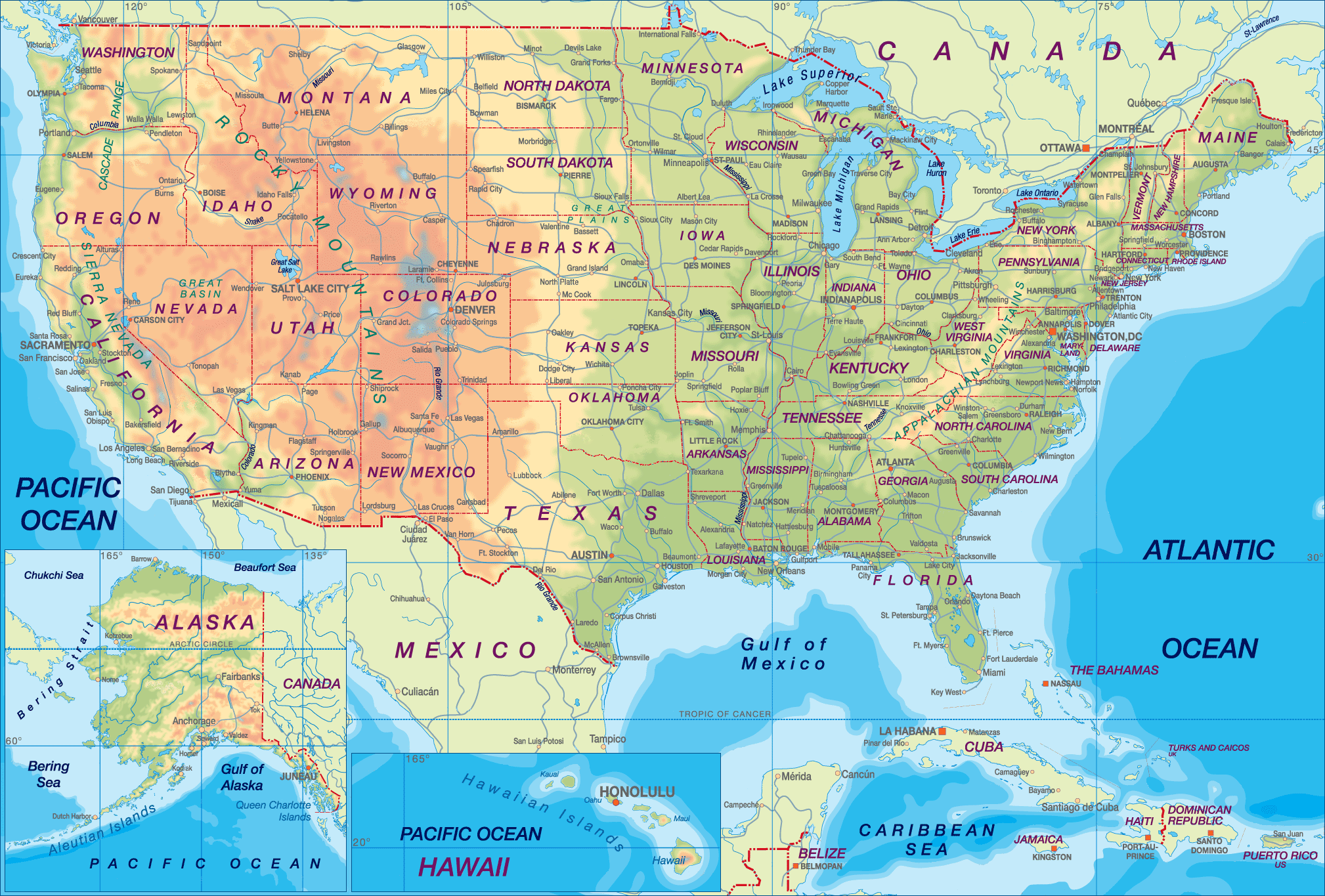
United States physical map with major cities interstate highways
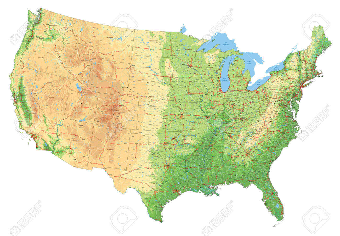
United States physical map with major cities
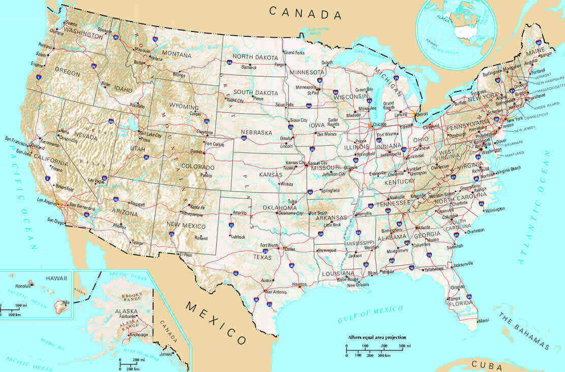
United States physical map with national borders
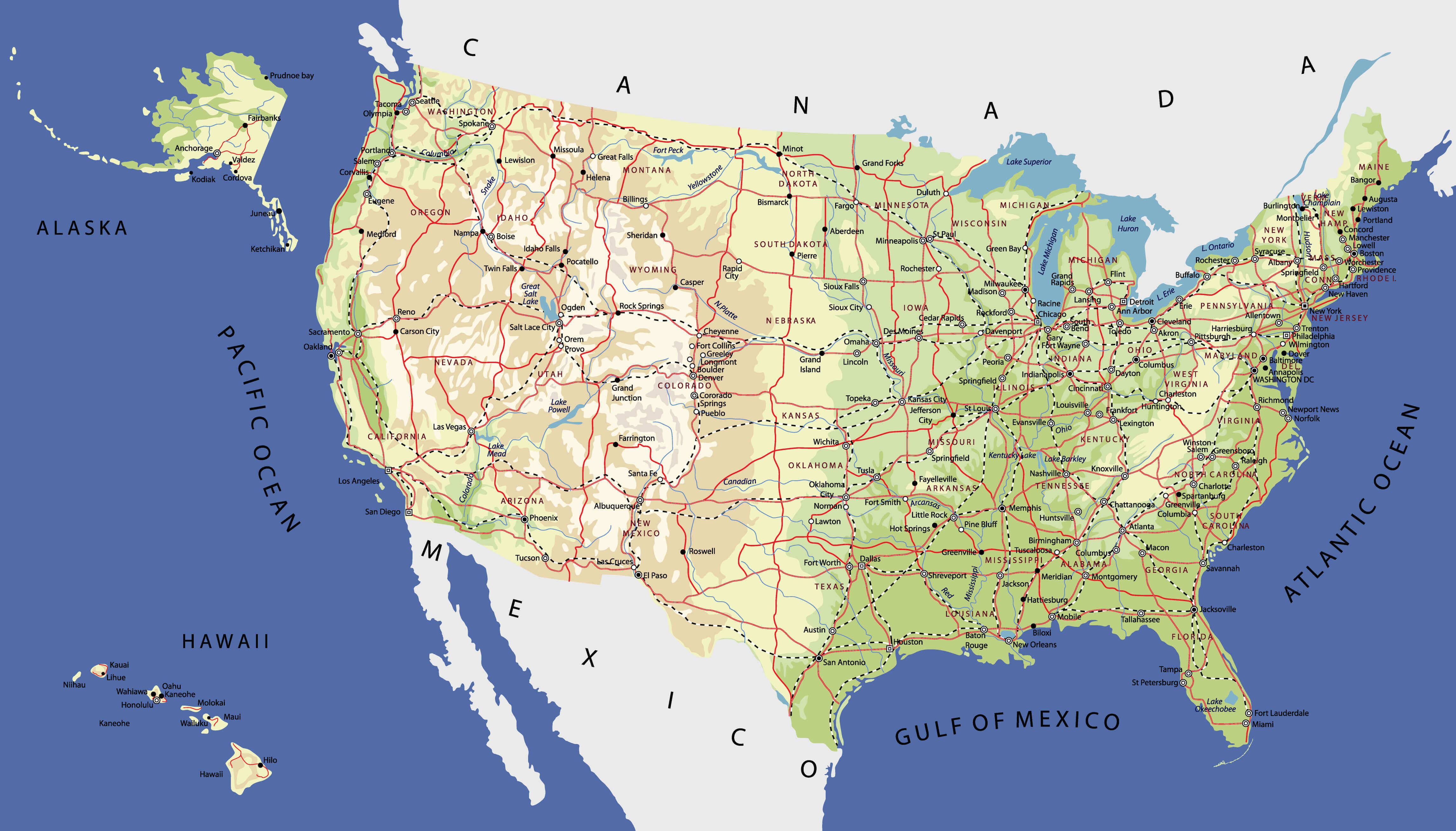
United States physical map with population and transportation
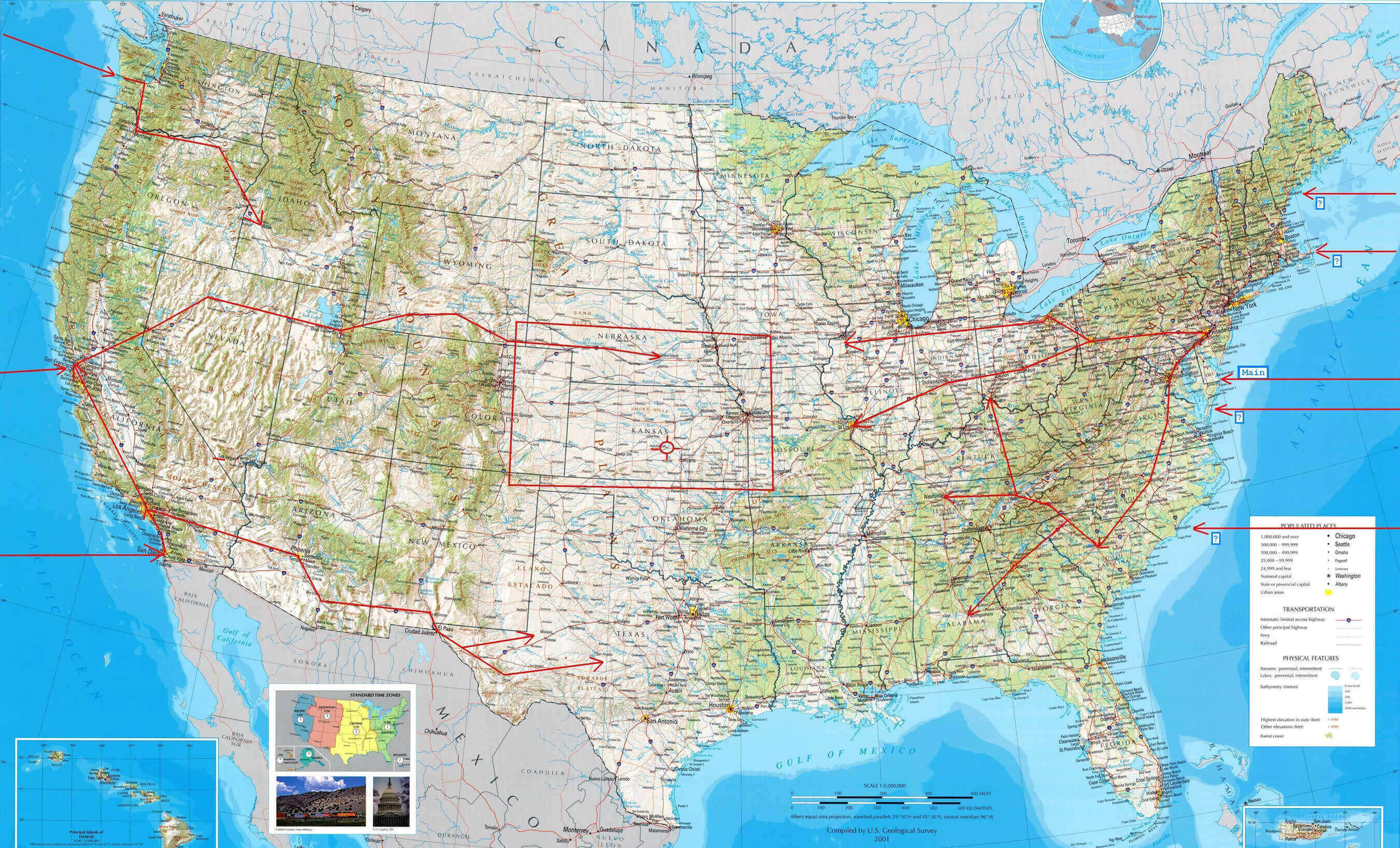
United States physical map with rivers and lakes
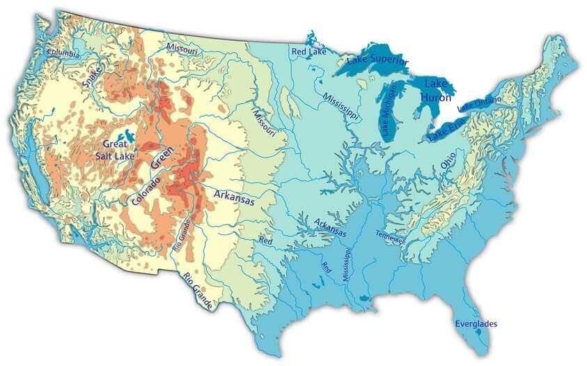
United States physical map
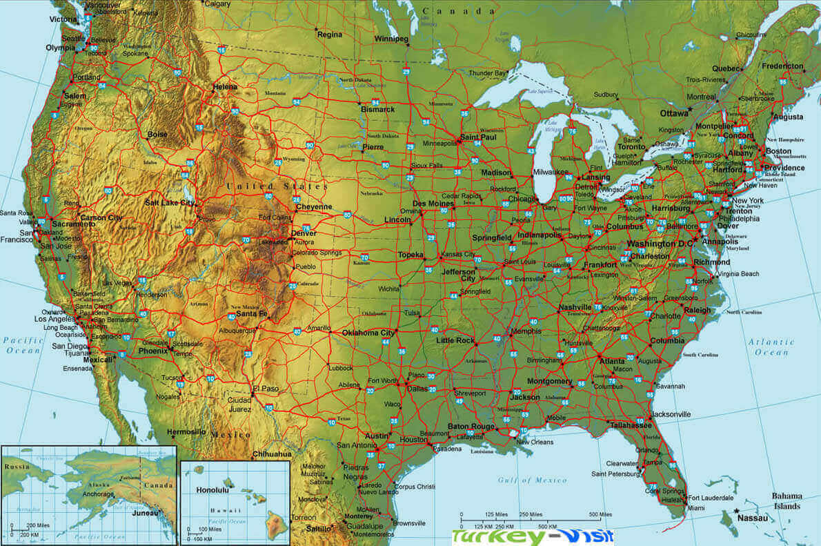
United States physical maps
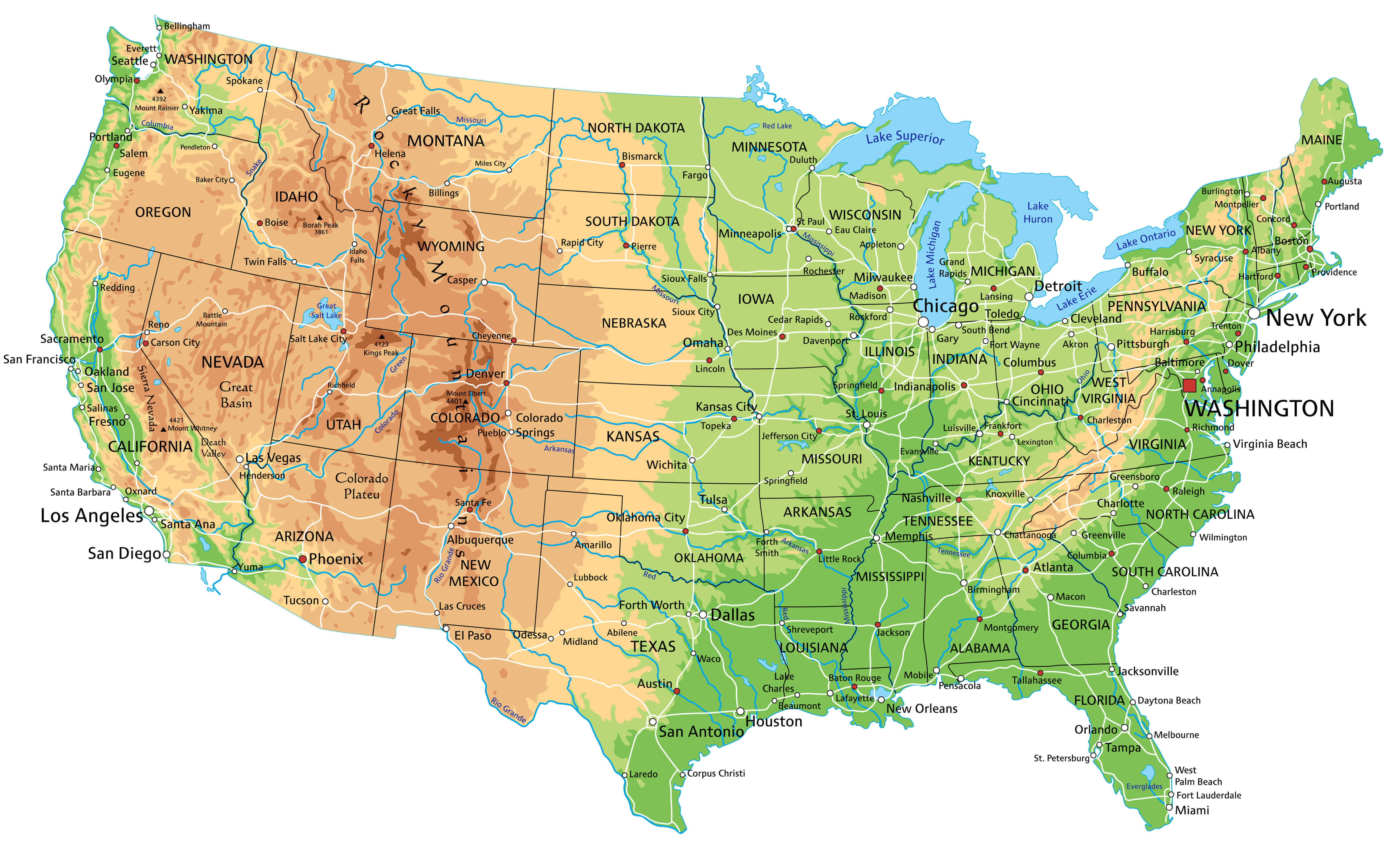
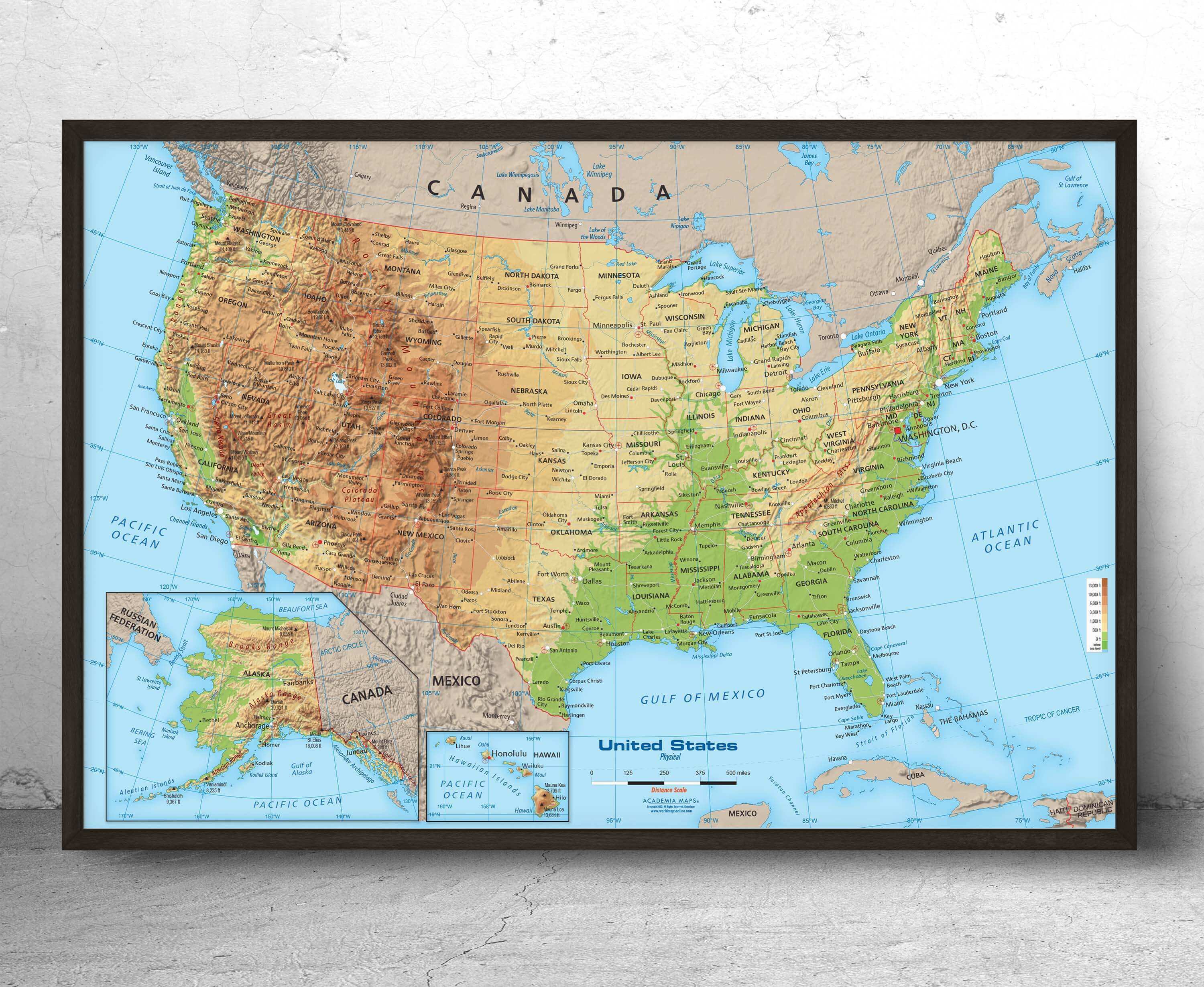
United States physical wall map with black frame
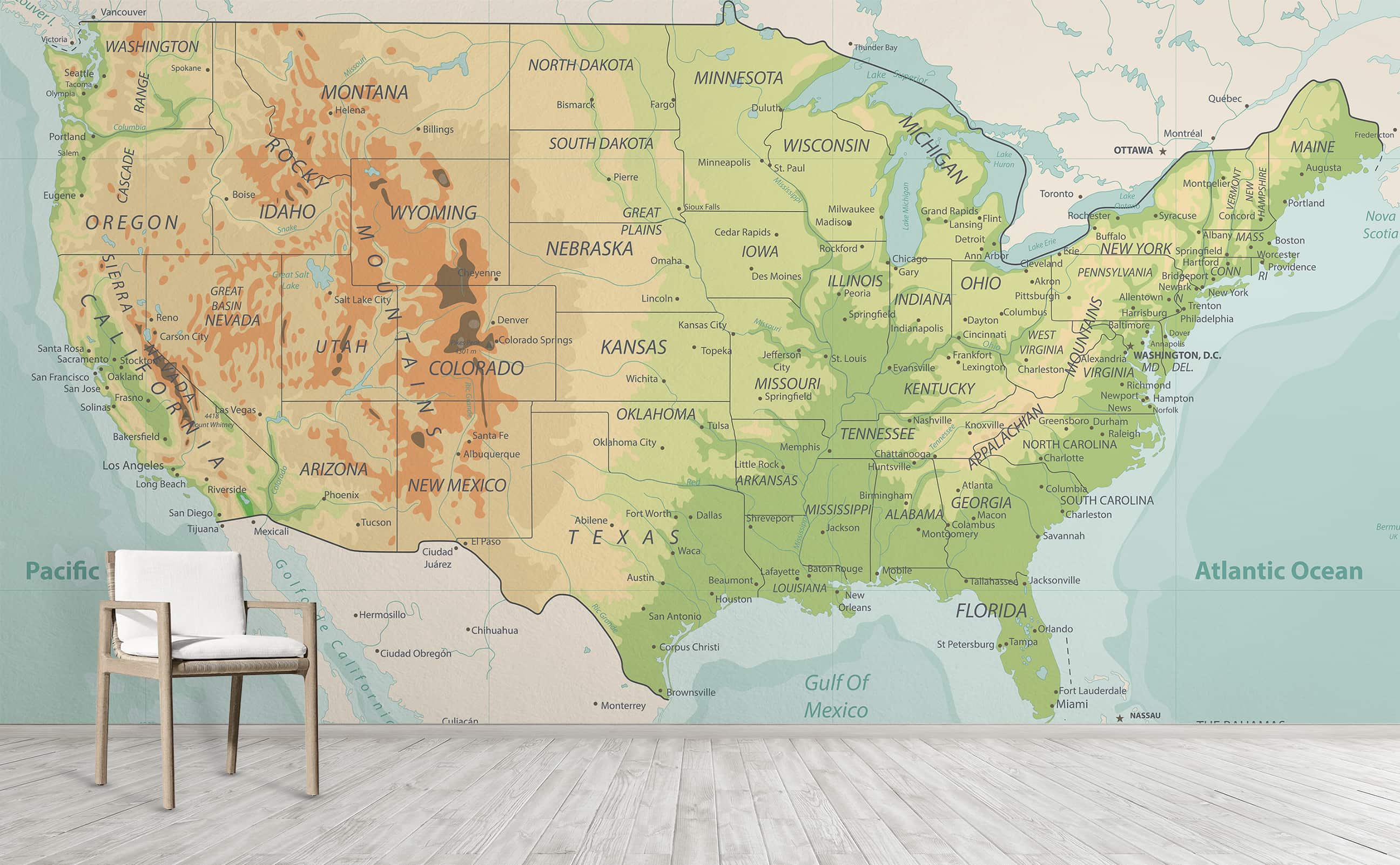
United States physical wallpaper map
World and United States physical map
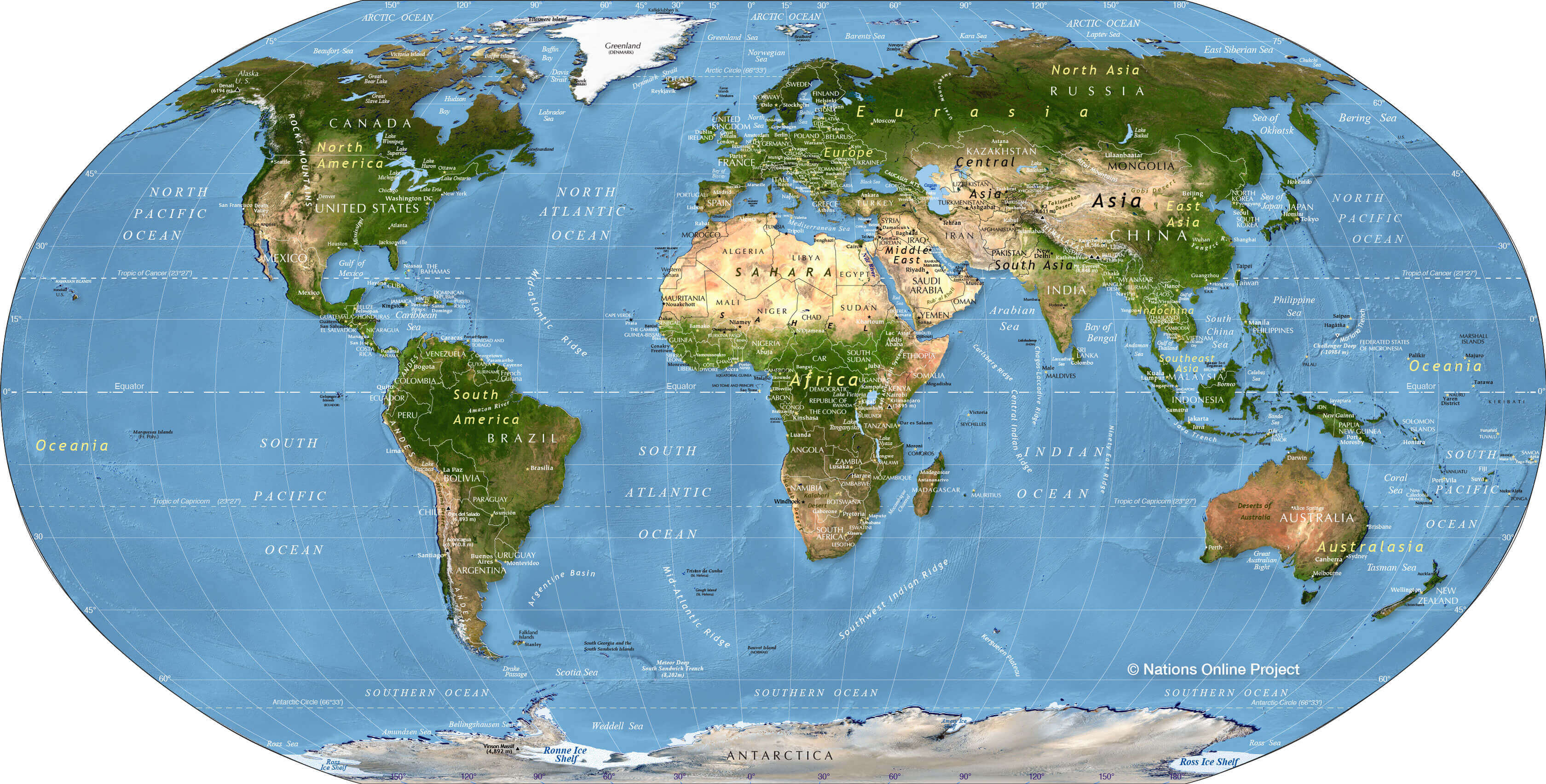
Where is the United States on the World Map?
Show Google map, satellite map, where is the country located.
Get directions by driving, walking, bicycling, public transportation and travel with street view.
Feel free to explore US states maps:
- United States Map ↗️
- US Maps ↗️
- United States Maps ↗️
- Map of United States ↗️
- US States Map ↗️
- Political Map of the US ↗️
- United States Political Map ↗️
- US High-resolution Map ↗️
- United States High-resolution Map ↗️
- US Physical Map ↗️
- US Population Map ↗️
- United States Population Map ↗️
- US Time Zone Map ↗️
- US Blank Map ↗️
- United States Blank Map ↗️
- United States Cities Map ↗️
- US Cities Map ↗️
- US States Capitals Map ↗️
- United States Capitals Map ↗️
- Gulf of America (The Gulf of Mexico) Map ↗️
- United States Time Zone Map ↗️
- California Time Zone Map ↗️
- Texas Time Zone Map ↗️
- New York Time Zone Map ↗️
- Florida Time Zone Map ↗️
- California Map ↗️
- Texas Map ↗️
- New York Map ↗️
- Florida Map ↗️
- Illinois Map ↗️
- Pennsylvania Map ↗️
- North America Map ↗️
- Advertisement -
