Explore Africa with detailed maps including physical, political, road, terrain, population, country borders, regions, national parks, highways, railways, rivers, topography, Sahara Desert, and Africa’s location on the world map. Satellite and geographic views available.
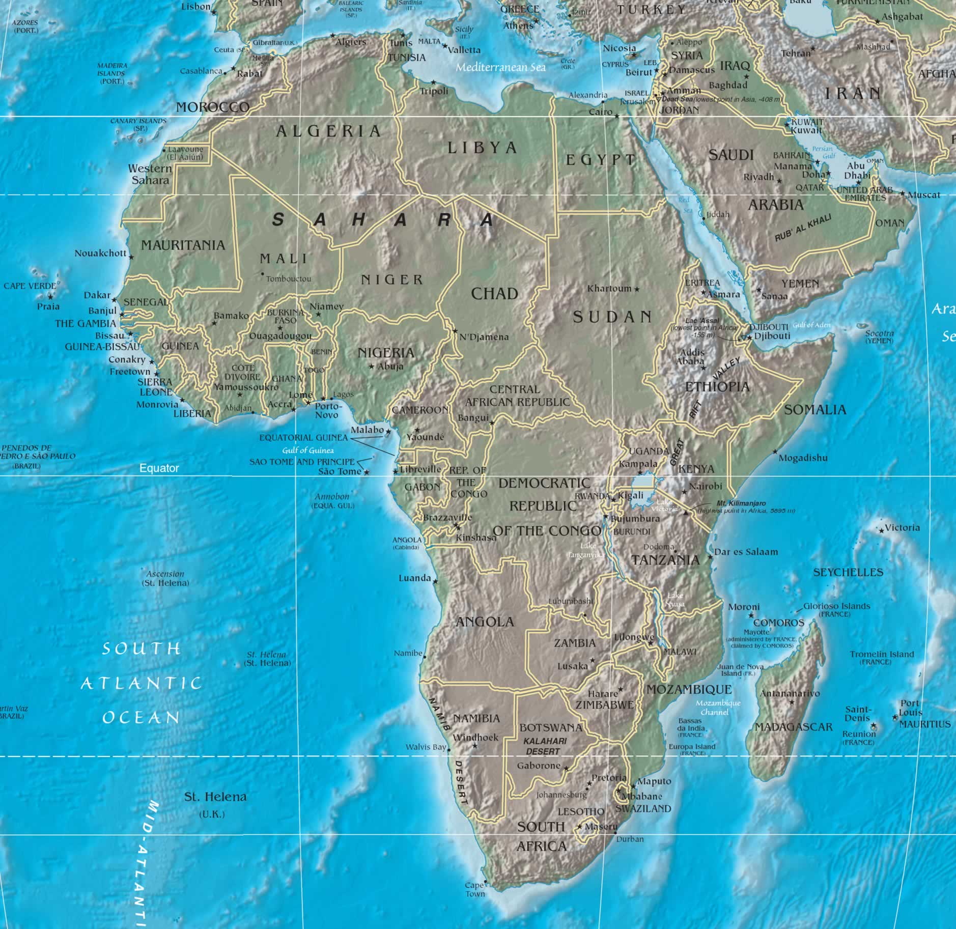
Africa Physical Map with Topography and Natural Features

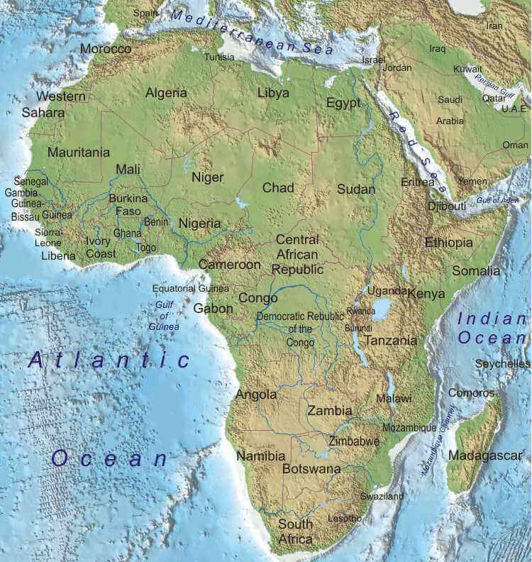
This detailed physical map of Africa shows the continent’s topography, including the Sahara Desert, the Congo Basin, the Great Rift Valley, rivers such as the Nile and Niger, and major lakes. Explore elevation patterns, mountains, plains and Africa’s vast natural diversity, from deserts to tropical rainforests.
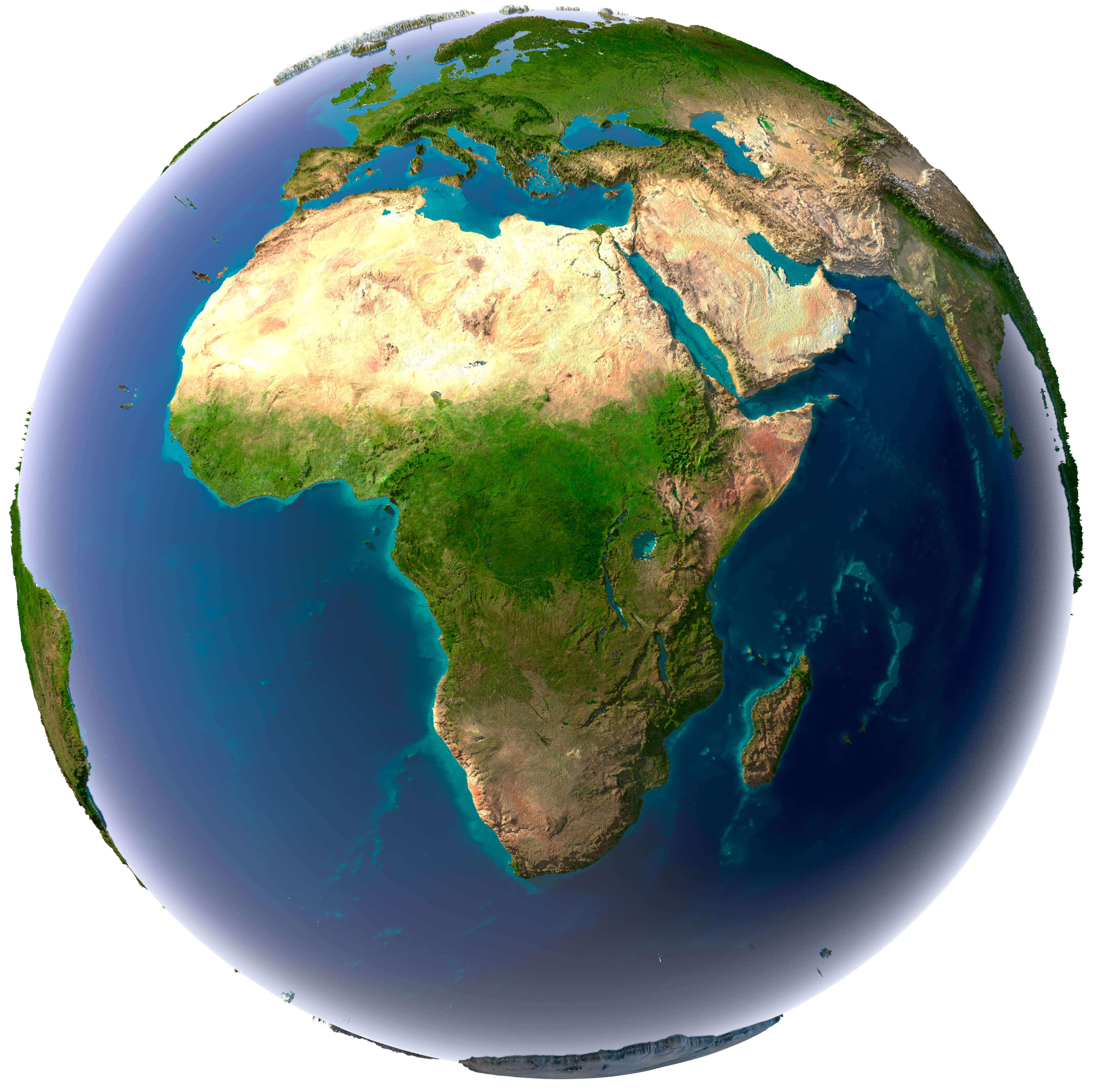
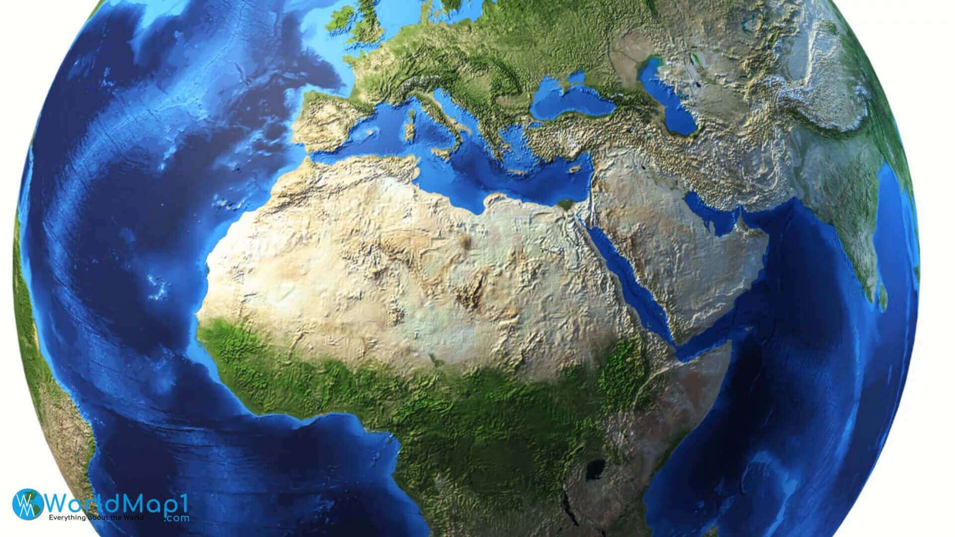
Africa and Surrounding Regions – High Relief Earth View
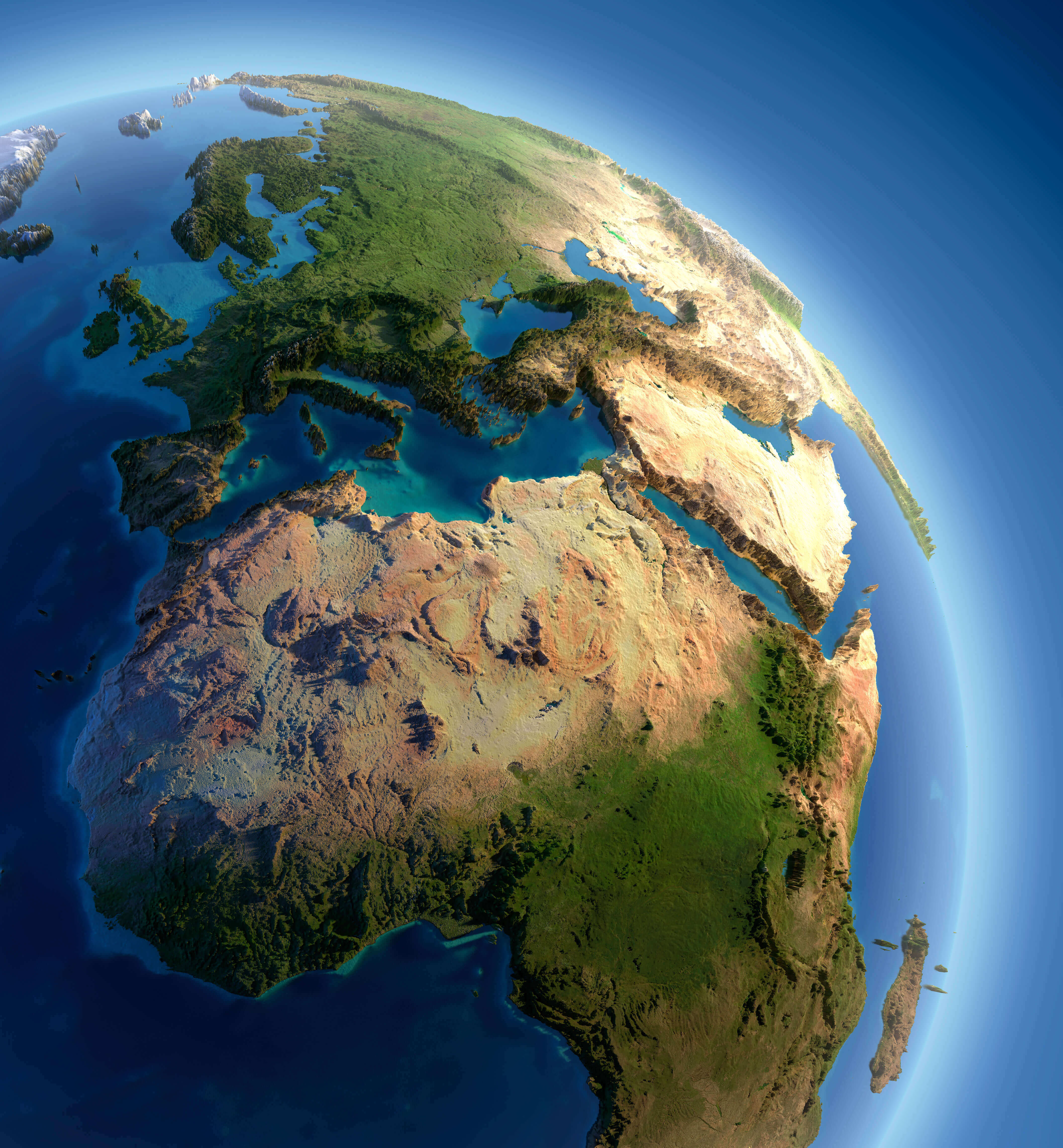
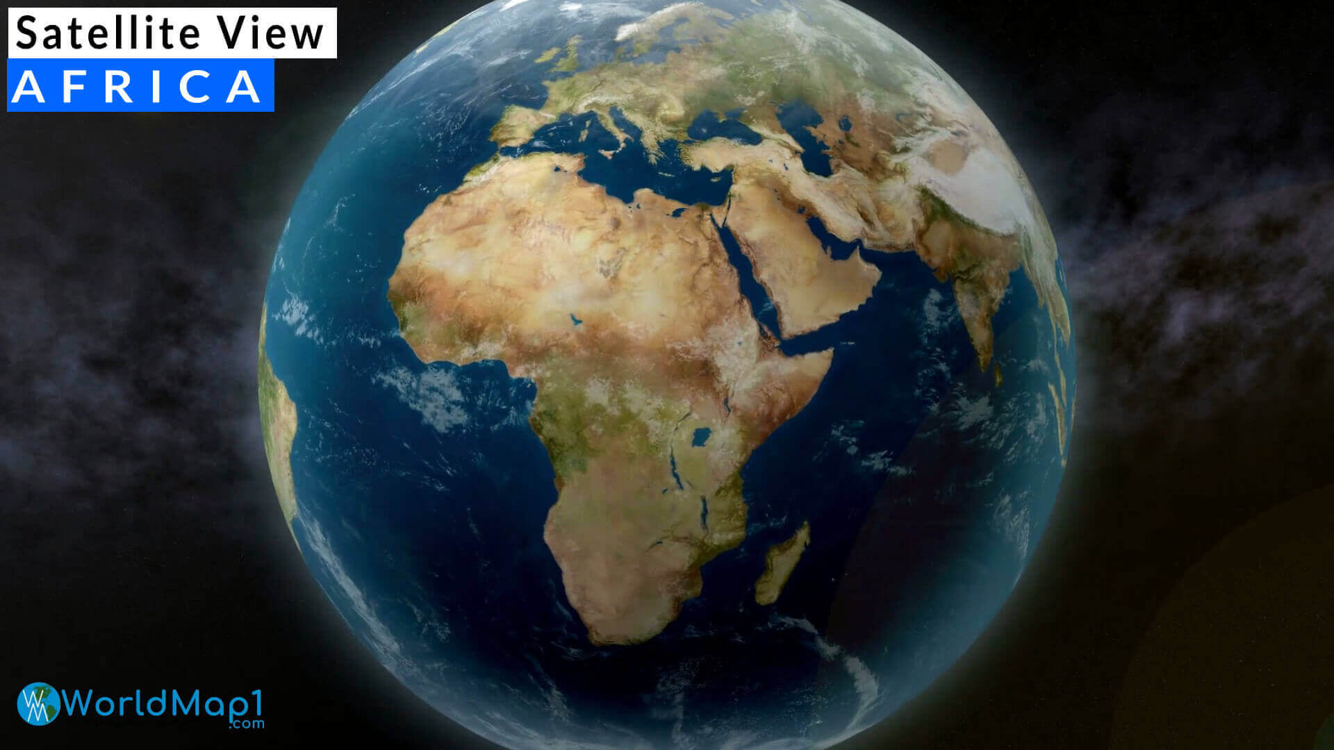
This high-relief Earth view map captures Africa’s dramatic terrain in stunning 3D. It highlights the Sahara Desert, the Nile Valley, the Great Rift Valley, and the lush equatorial regions, along with parts of Europe and the Middle East. A beautiful satellite-style visualization showing topographic variation across continents.
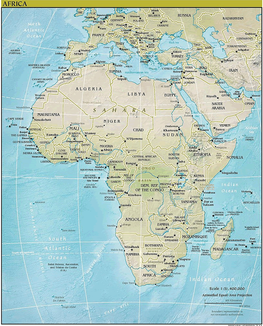
Physical Map of Africa with Mountains, Rivers and Terrain Features
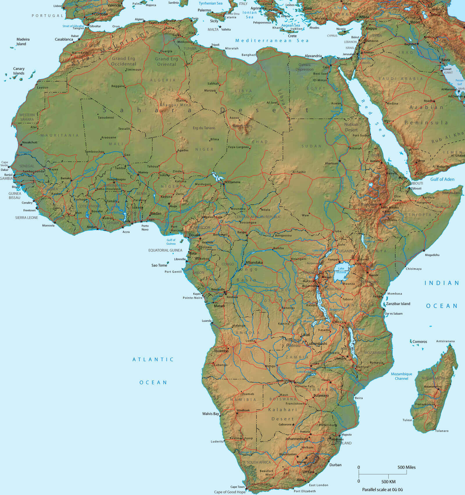
This physical map of Africa shows the continent’s diverse geography, including major mountain ranges, vast deserts like the Sahara and Kalahari, river systems such as the Nile and Congo, and coastal lowlands. It provides valuable insight into Africa’s landforms, making it useful for geography studies and environmental planning.
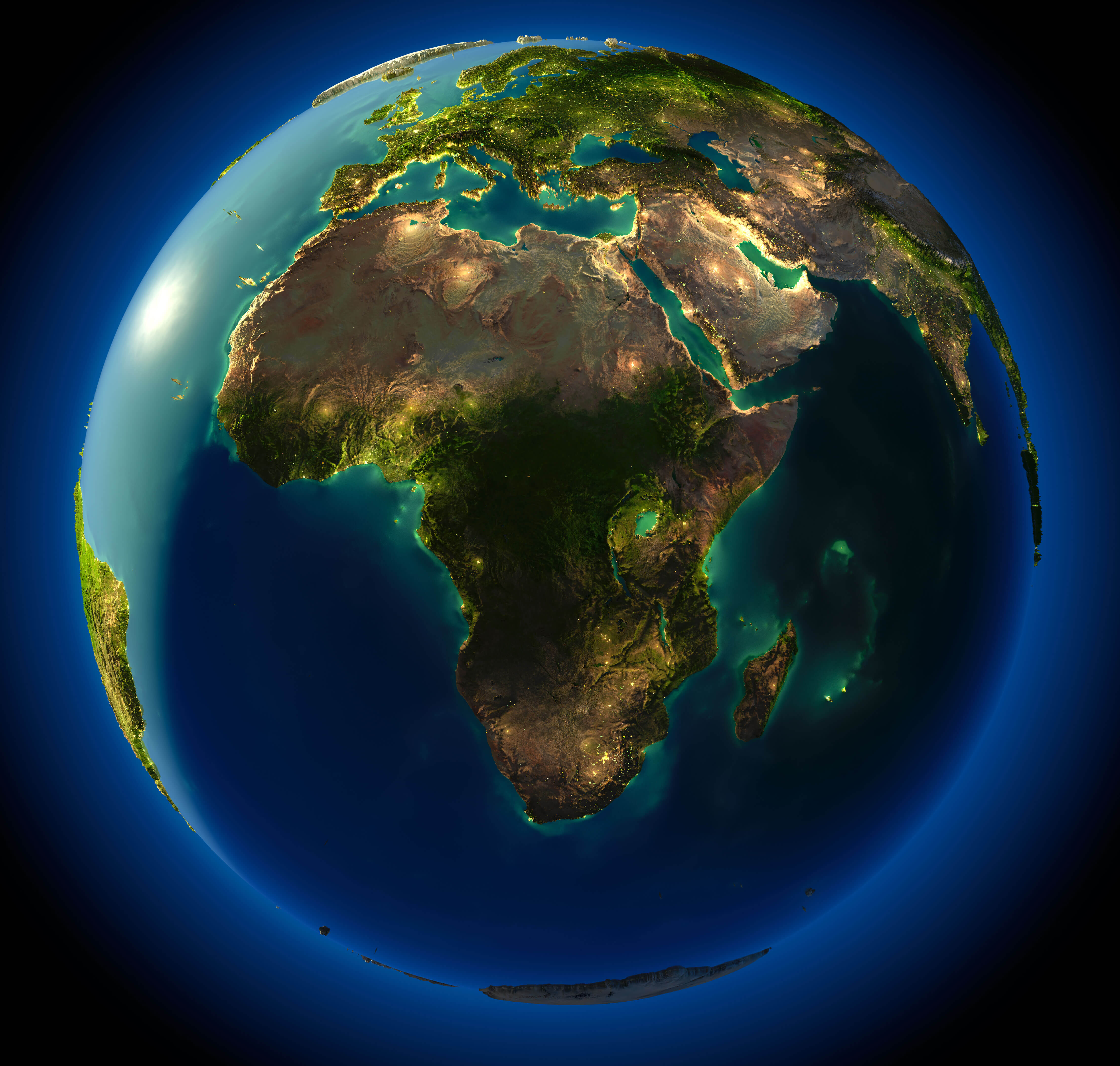
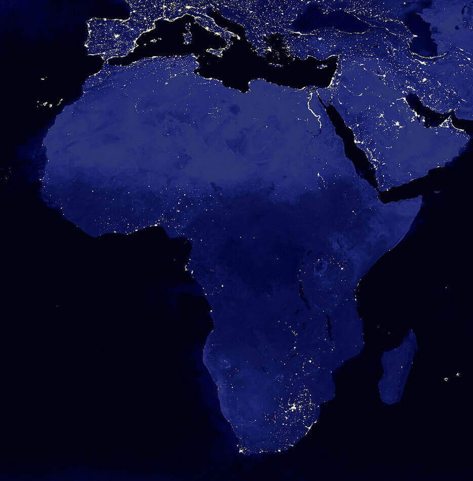
Africa Earth night map
Africa physical map of world
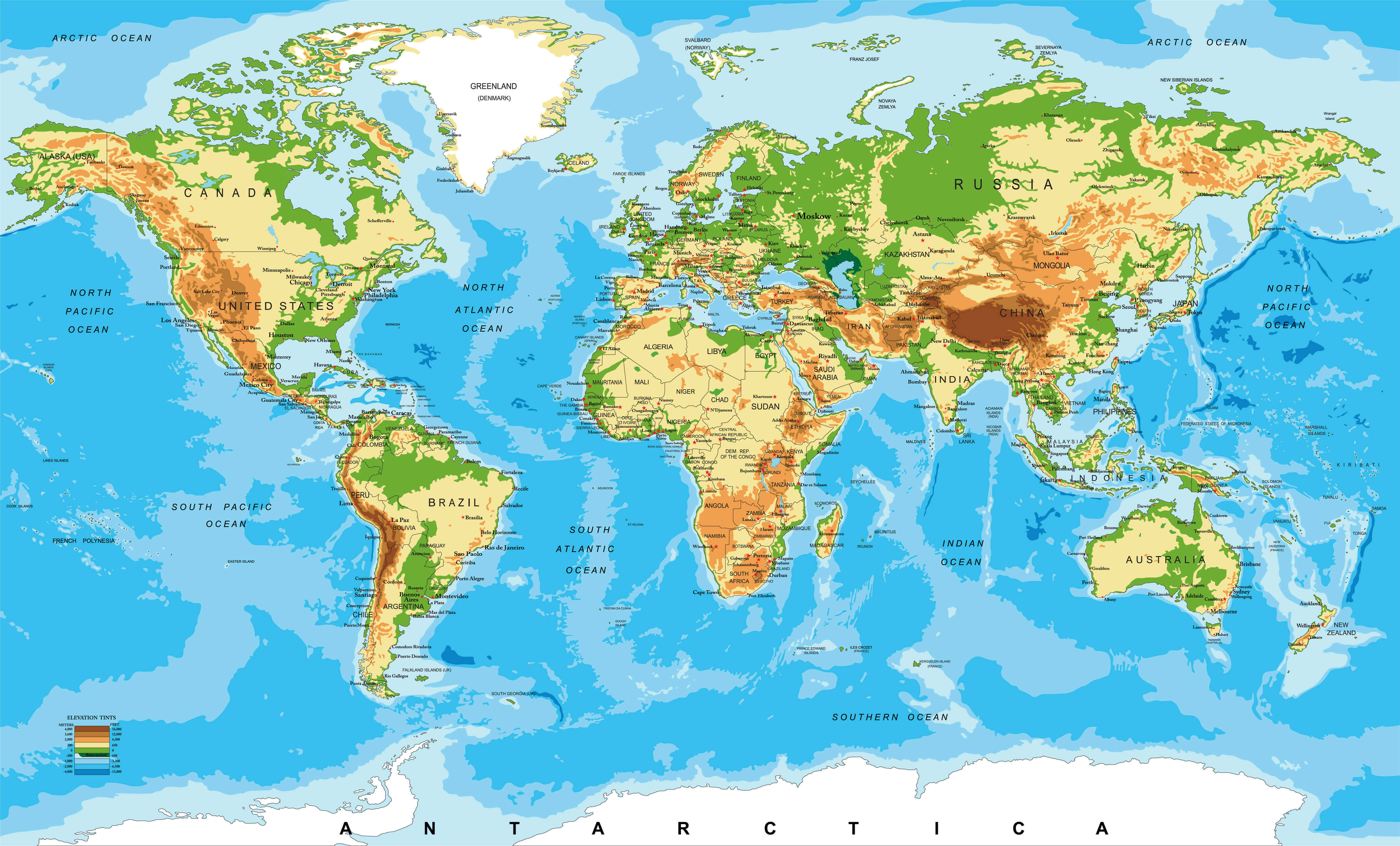
Topography map of Africa
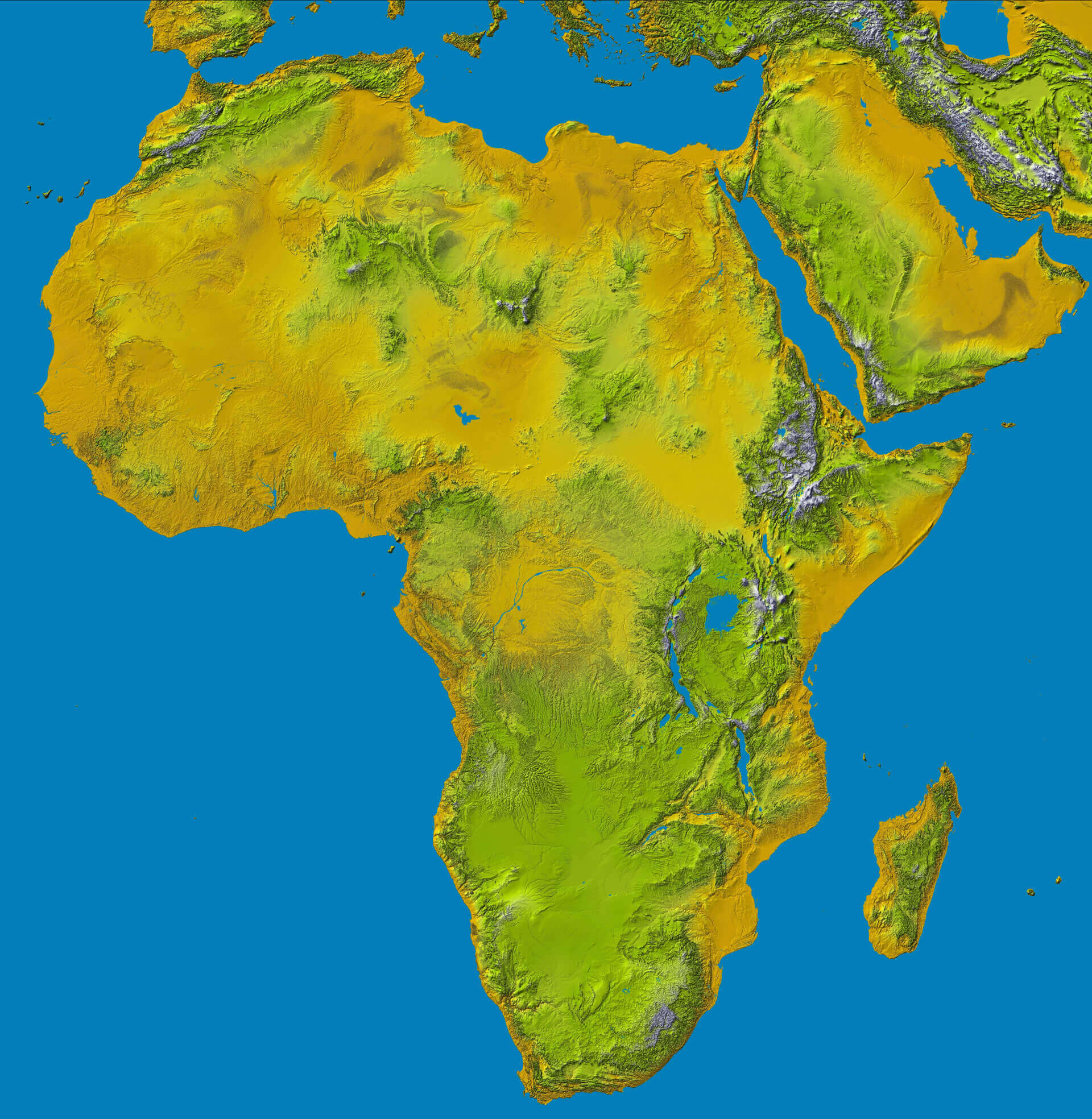
Africa and Europe satellite image
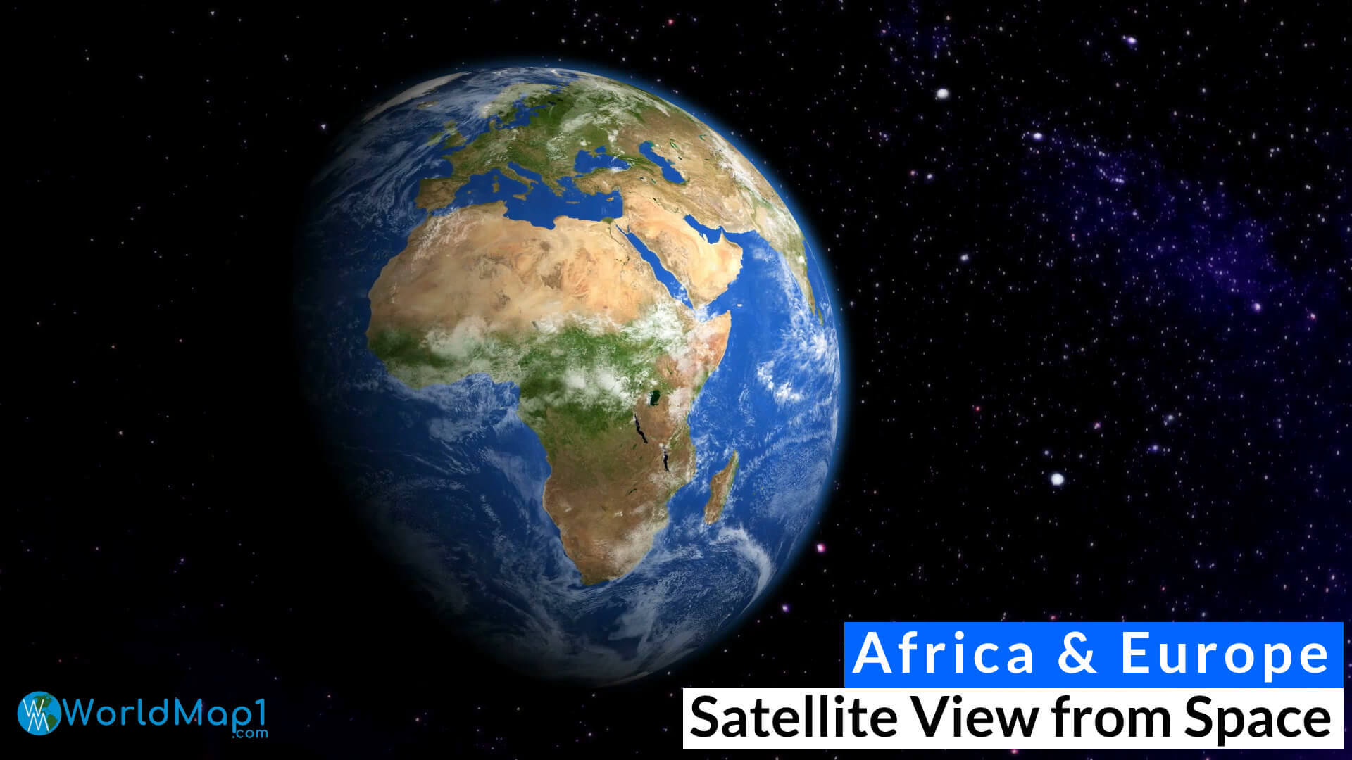
Vegetation map of Africa
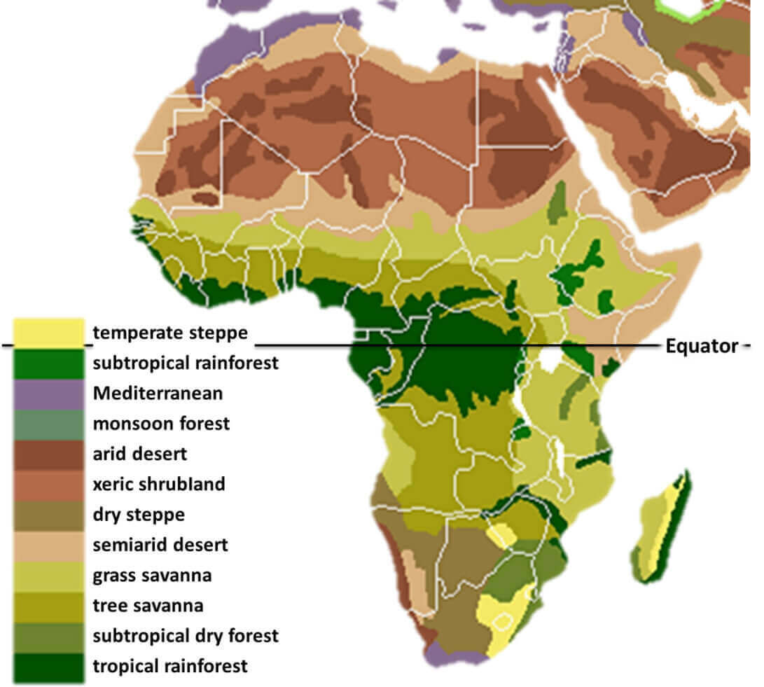
High detailed Africa physical map
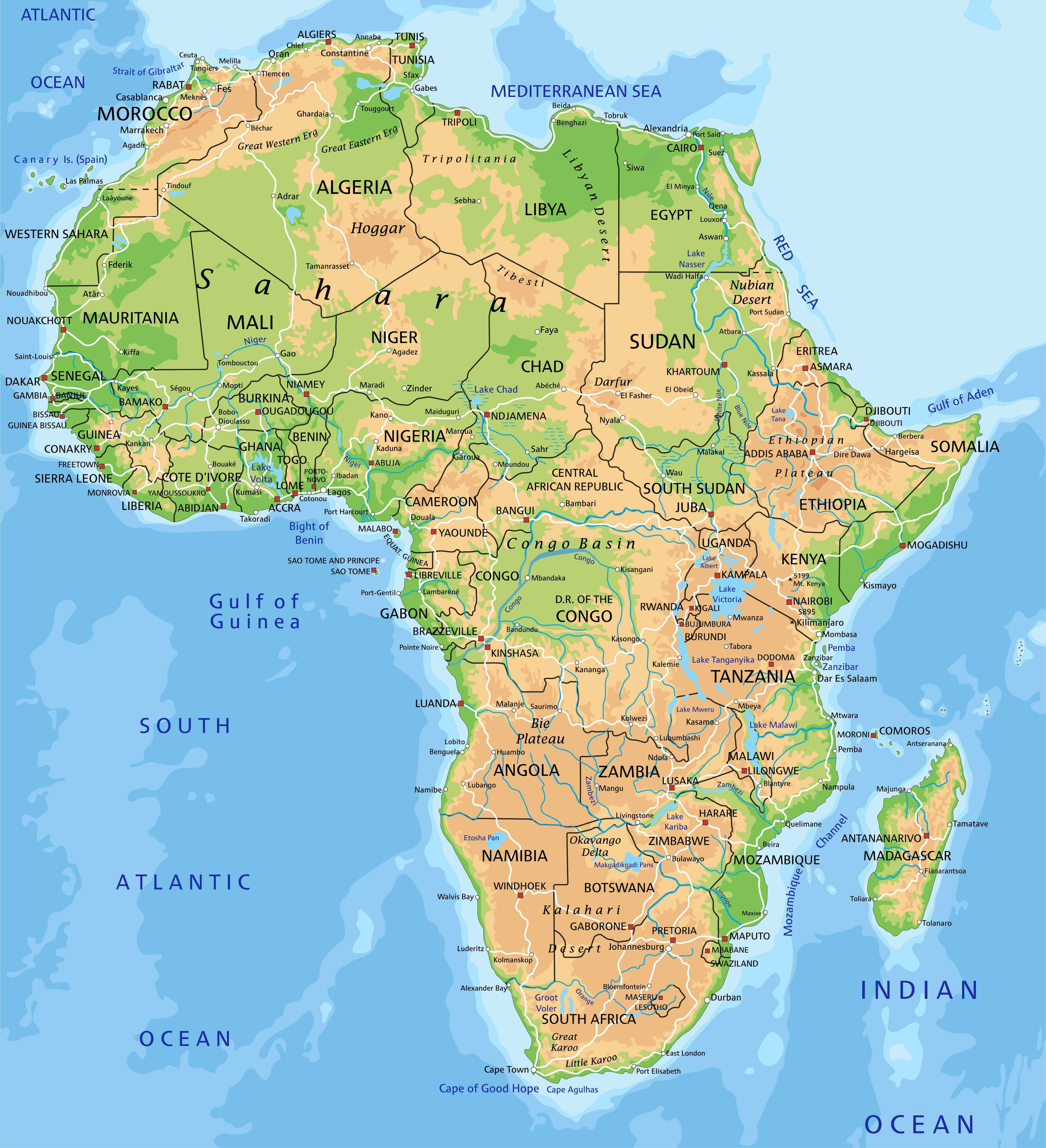
Africa Earth map with europe and Asia
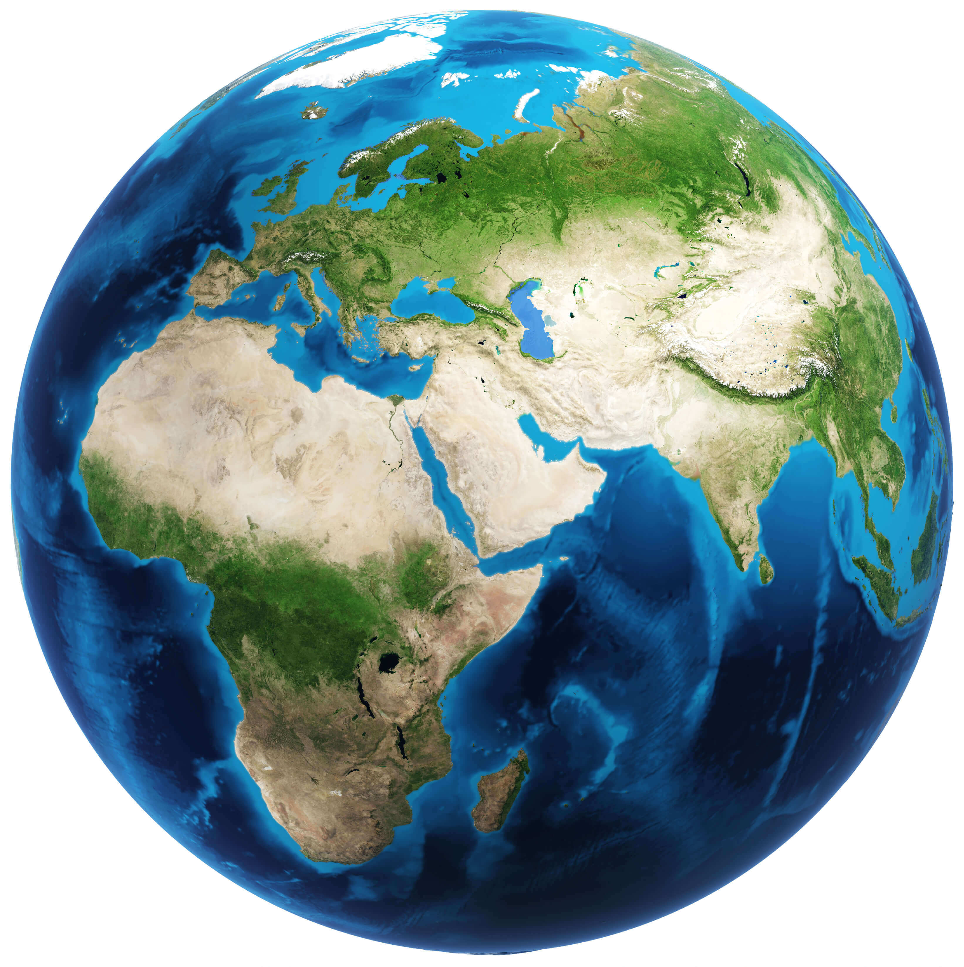
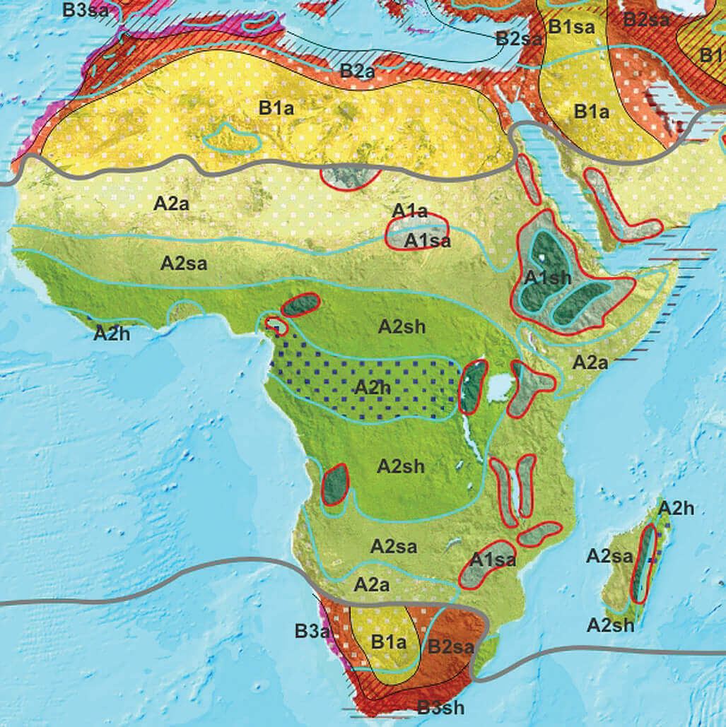
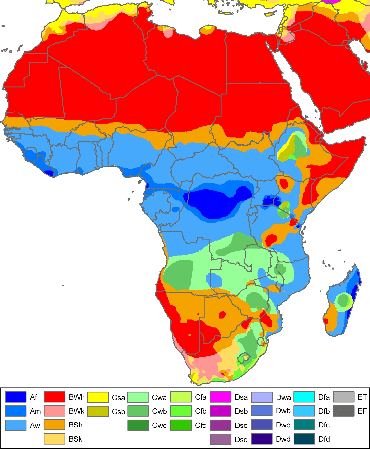
Africa climate map
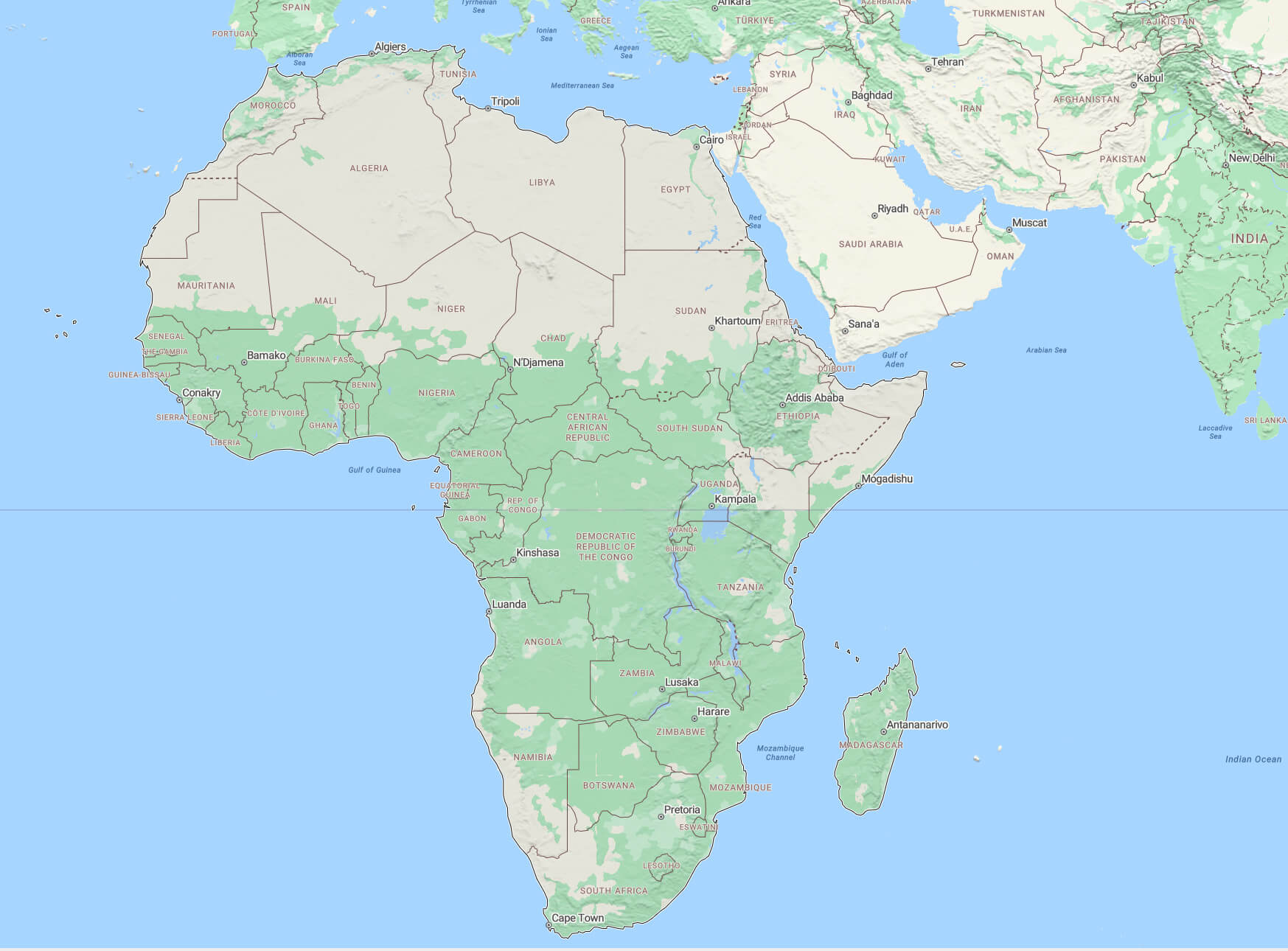
Africa continent map
Africa detailed topography of continents
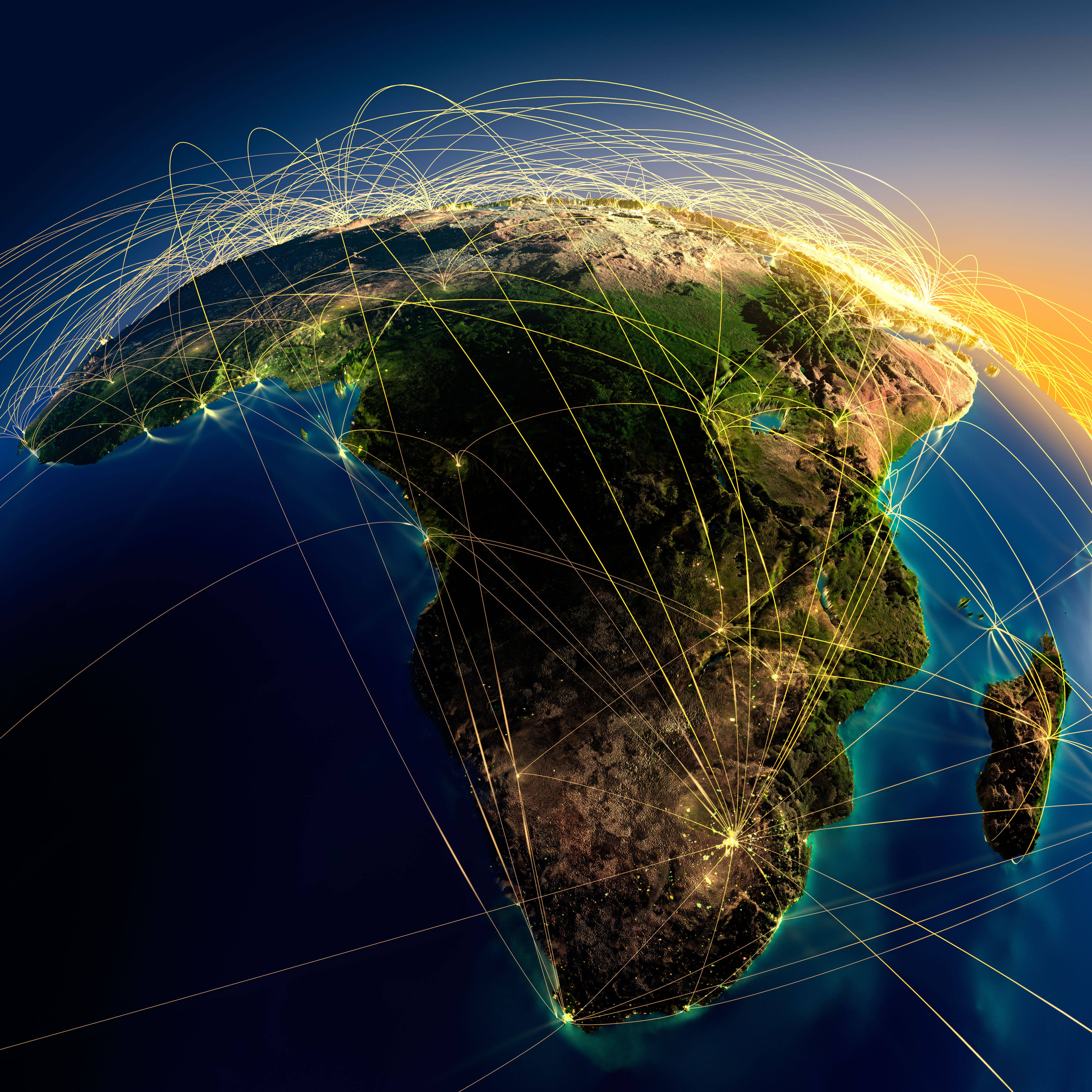
Africa Earth air routes map
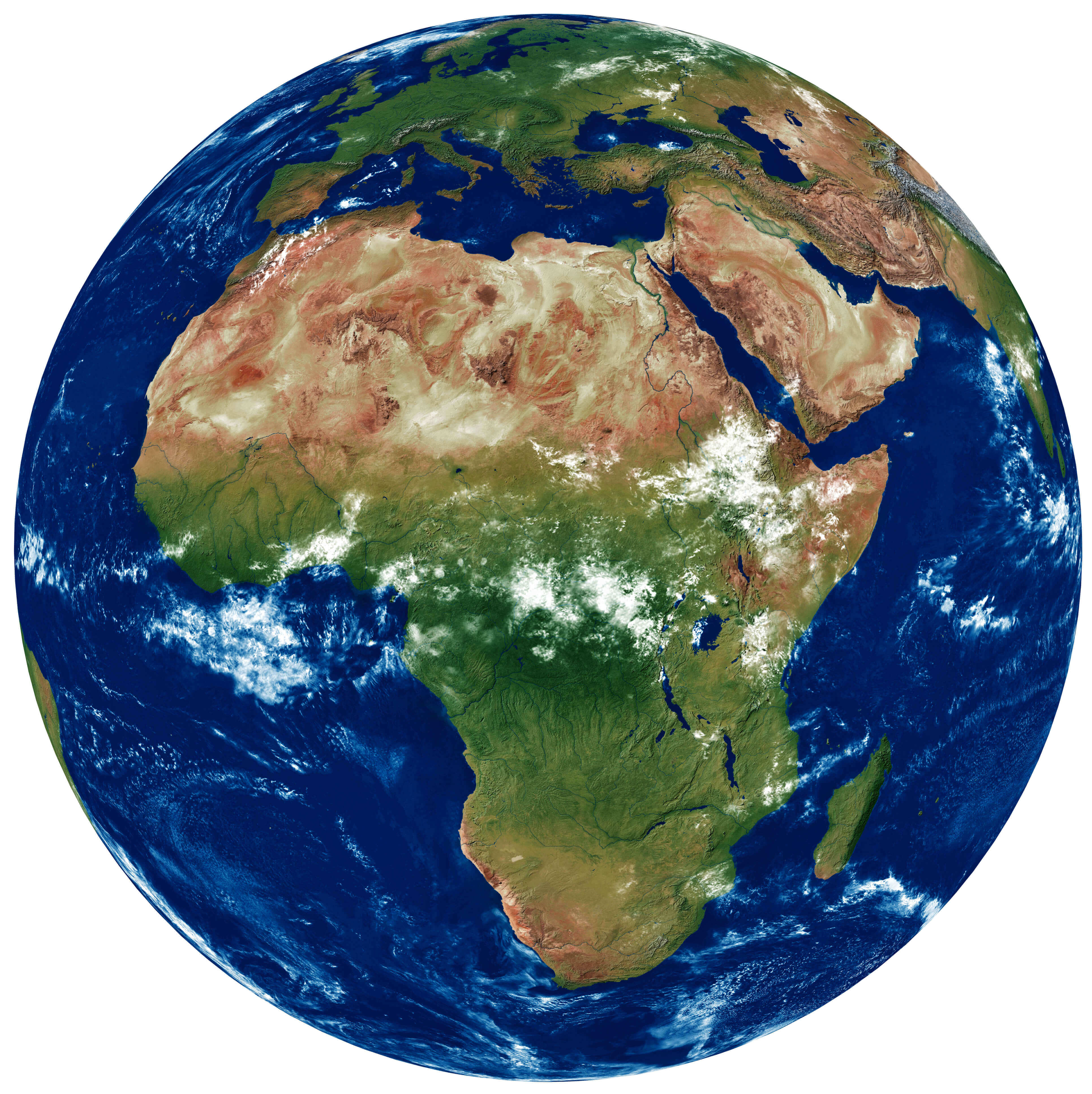
Africa Earth satellite map
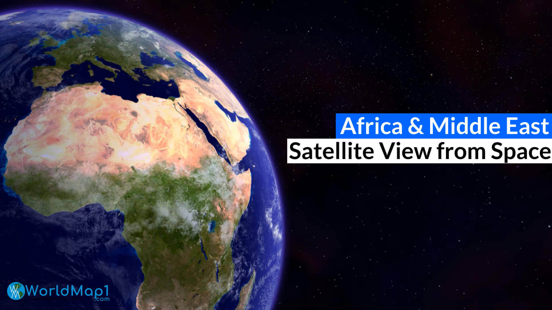
Africa europe and middle east from space
Africa koppen map
Africa map at night from space
Africa physical map with atlantic ocean
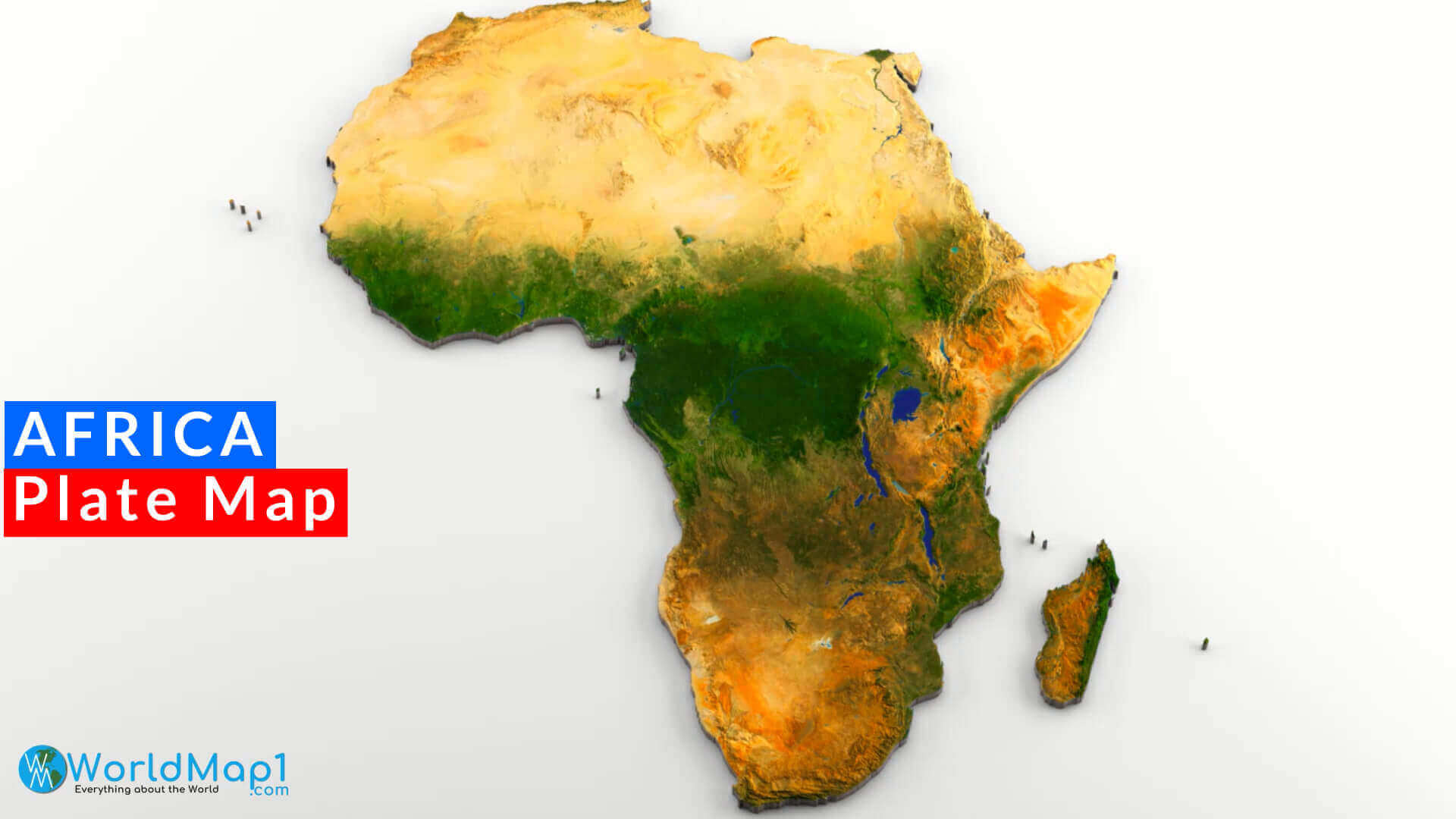
Africa plate map
Africa relief map
Africa rivers map
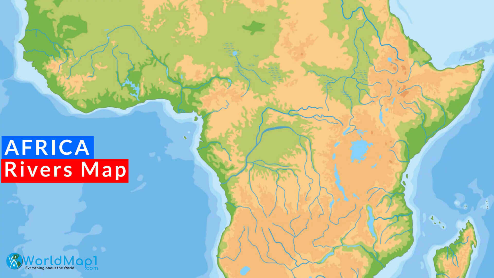
Africa satellite image map
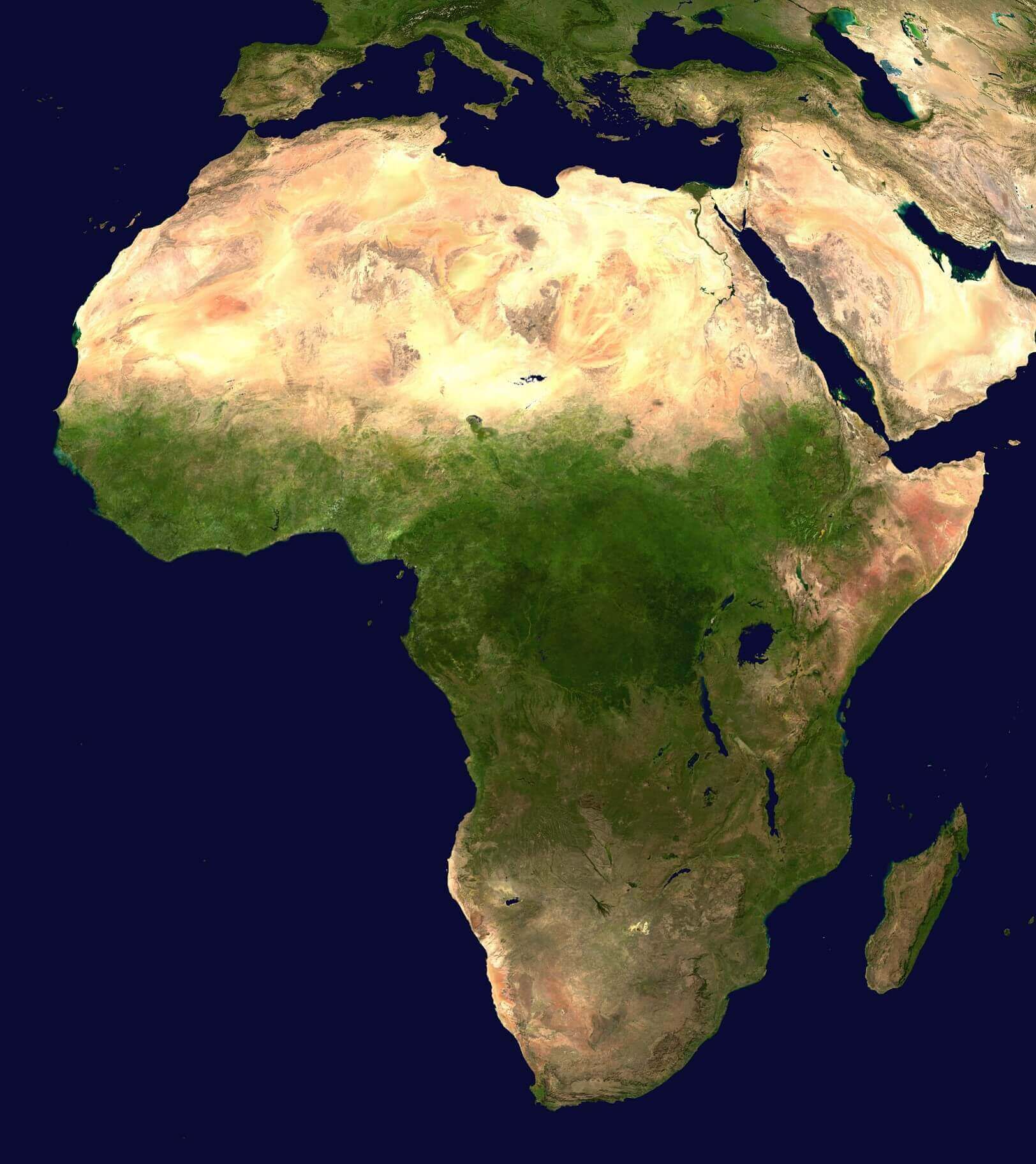
Africa satellite image
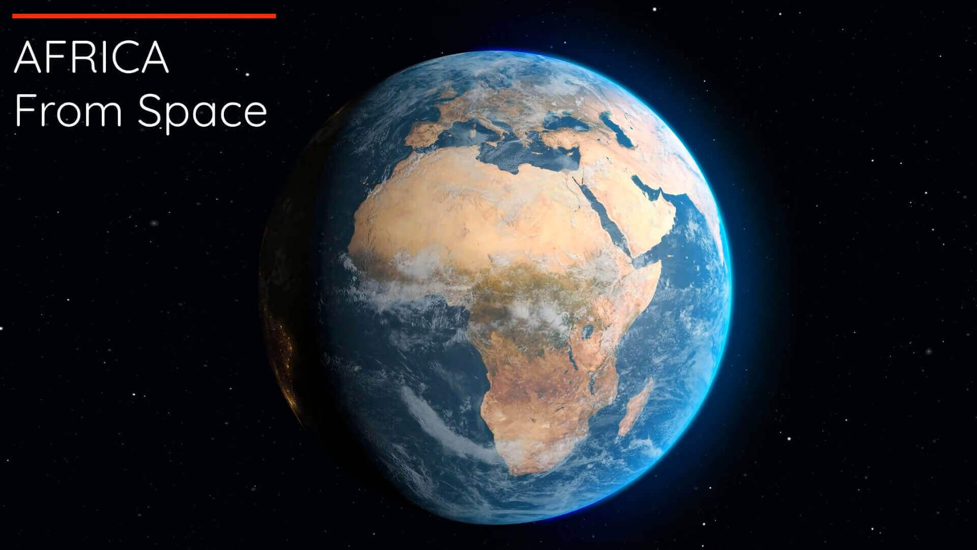
Africa terrain map
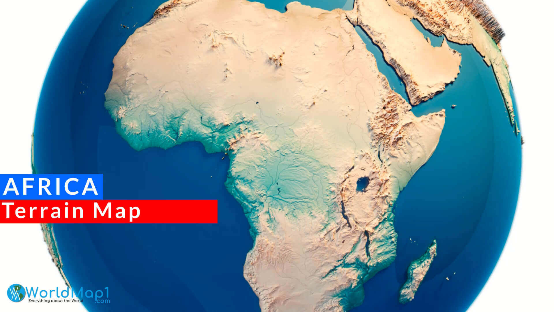
cental Africa physical map
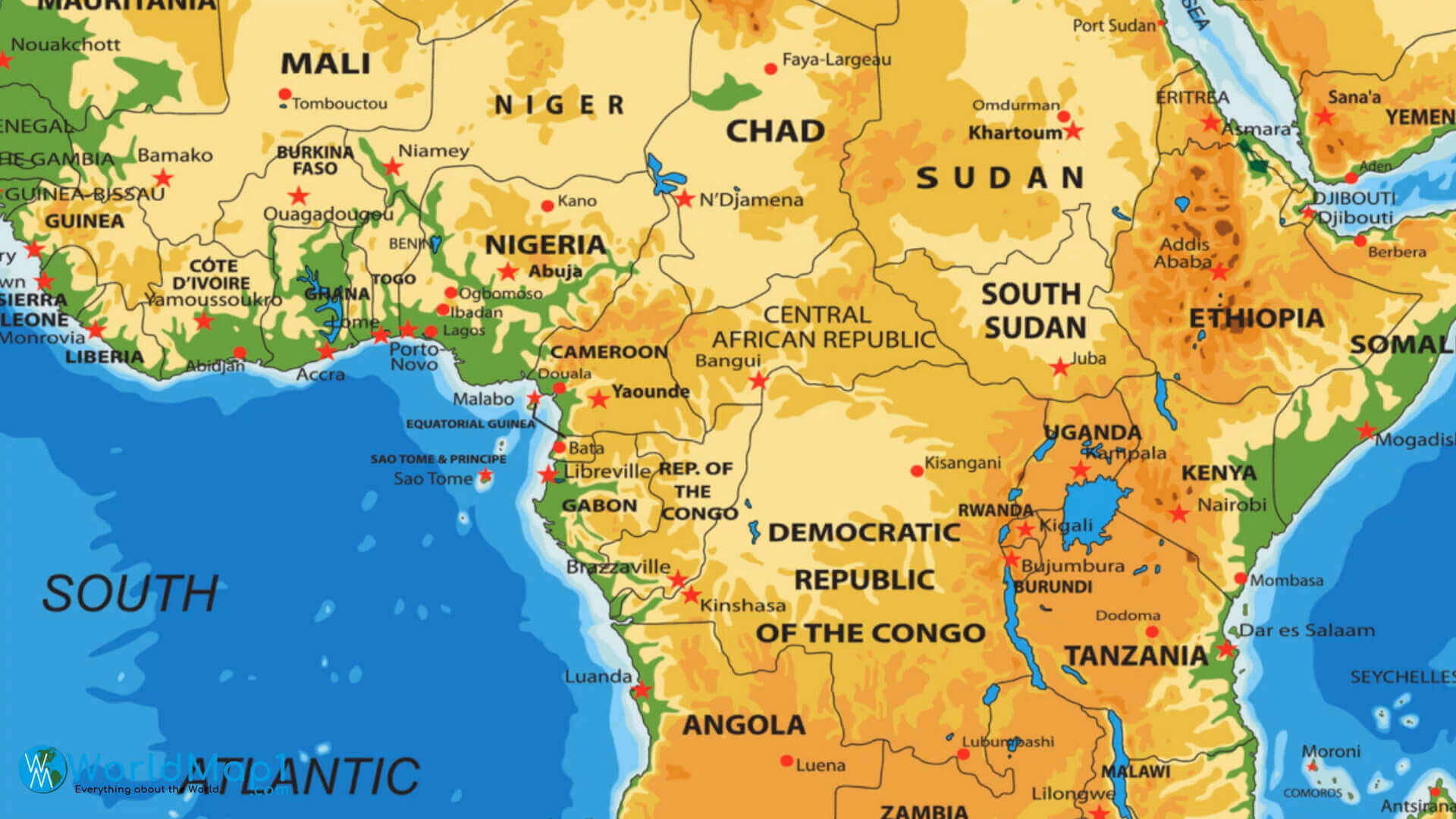
Earth and Africa satellite map

Physical map of Africa
Sahara Desert and Africa satellite image map
Satellite map of Africa
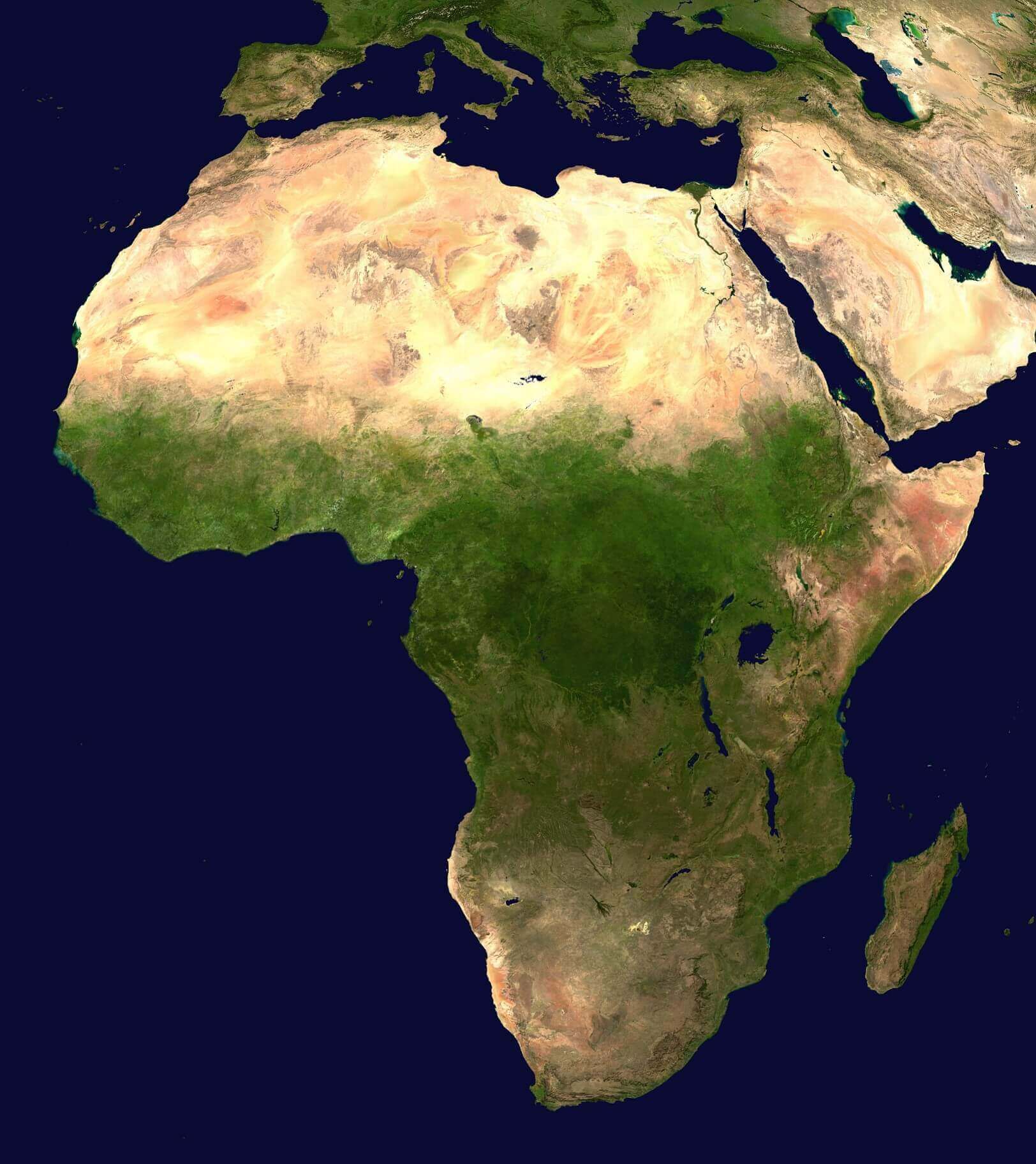
Satellite view of Africa
Where is Africa on the World Map?
Show Google Interactive Maps and satellite maps of where the country is located.
Get directions by driving, walking, bicycling, public transportation and travel with street view.
Feel free to explore these pages as well:
- Africa Map IV ↗️
- Africa Map ↗️
- Africa High-resolution Map ↗️
- Map of Africa ↗️
- Africa Physical Map ↗️
- Africa Political Map ↗️
- Africa Countries Map ↗️
- Africa Cities Map ↗️
- Africa Time Zone Map ↗️
- Africa Population Map ↗️
- Africa Road Map ↗️
- Africa Topographic Map ↗️
- Africa Religion Map ↗️
- Muslim Population Map in Africa by Country ↗️
- A Collection of Algeria Maps: Exploring a North African Gem via Maps ↗️
- Visit Africa ↗️
- Africa Map I ↗️
- Africa Map II ↗️
- Africa Map III ↗️
- Africa Map V ↗️
