Africa political map with countries, borders, regions, and location on world map including Europe, Asia, and the Middle East. A variety of maps that highlight its political boundaries, political maps showing African countries national borders, including Egypt, Nigeria, Kenya, South Africa and Morocco.
Africa Political Map with Country Names and Borders

This political map of Africa shows all sovereign countries, clearly labeled with names and distinct borders. It offers a colorful overview of the continent’s geopolitical divisions, including neighboring regions such as the Middle East and Mediterranean. Ideal for educational, reference, and regional analysis use.
Africa Political Map with Europe and Middle East Connections
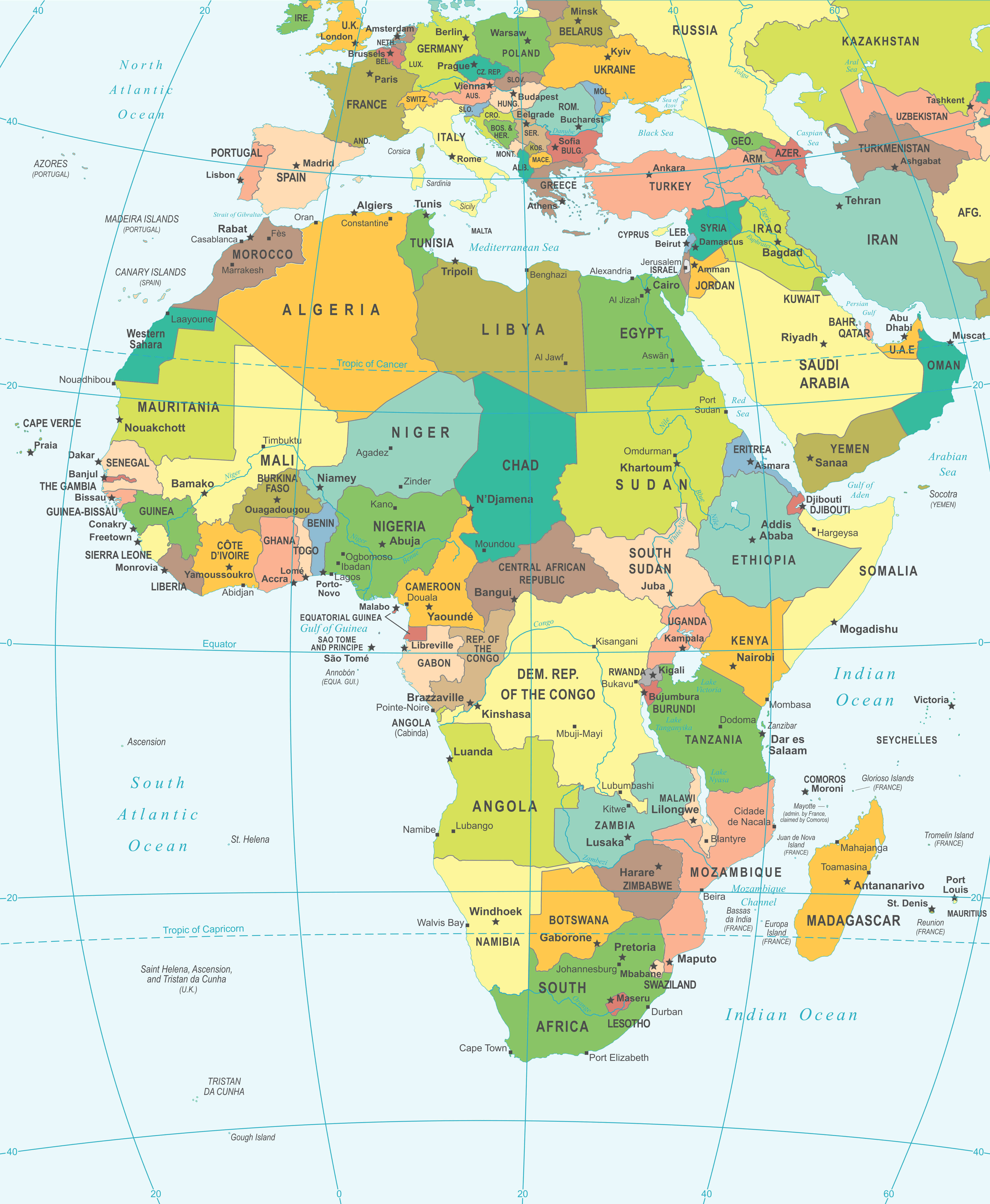 Africa political map with parts of Europe and the Middle East labeled and colored.
This political map highlights Africa, along with parts of Europe and the Middle East. It shows clearly defined country boundaries, capitals and major cities, providing a regional view of geopolitical relationships. Ideal for understanding Africa’s position and connections with Europe and Asia.
World map with Africa
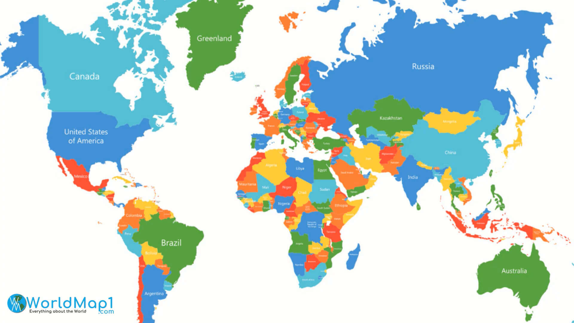
Large Africa political map
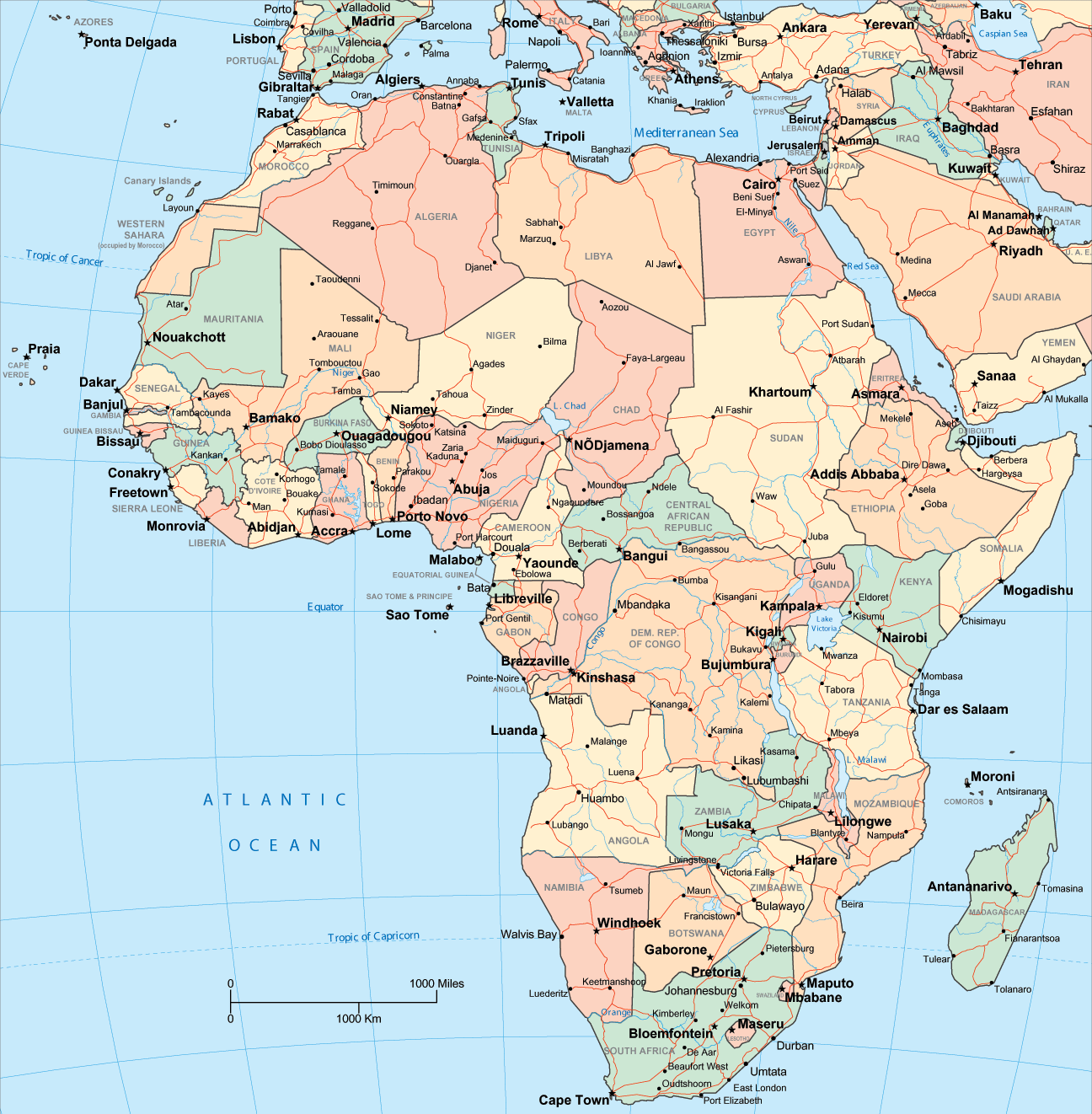
Africa and Sahara Desert map

Africa map South Africa
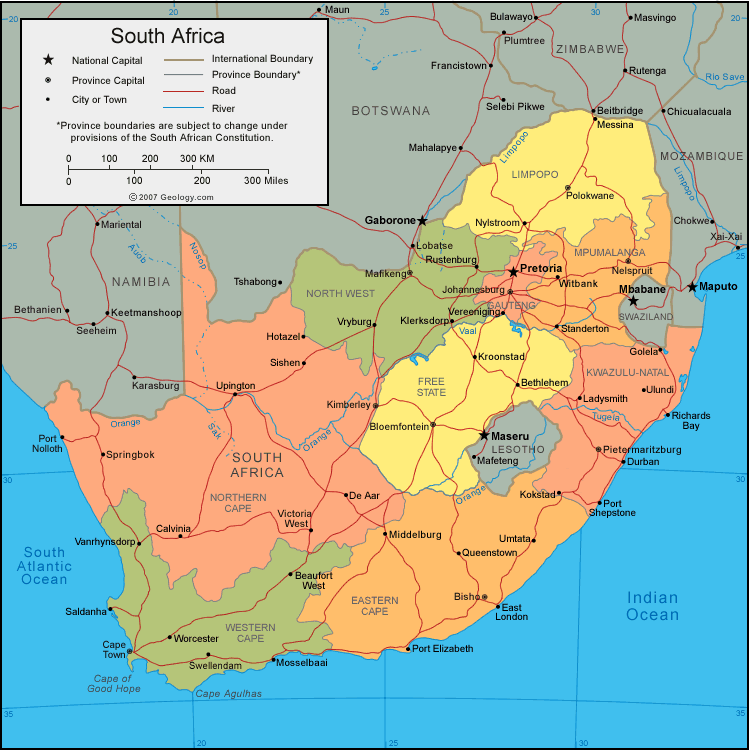
Africa map

Africa map
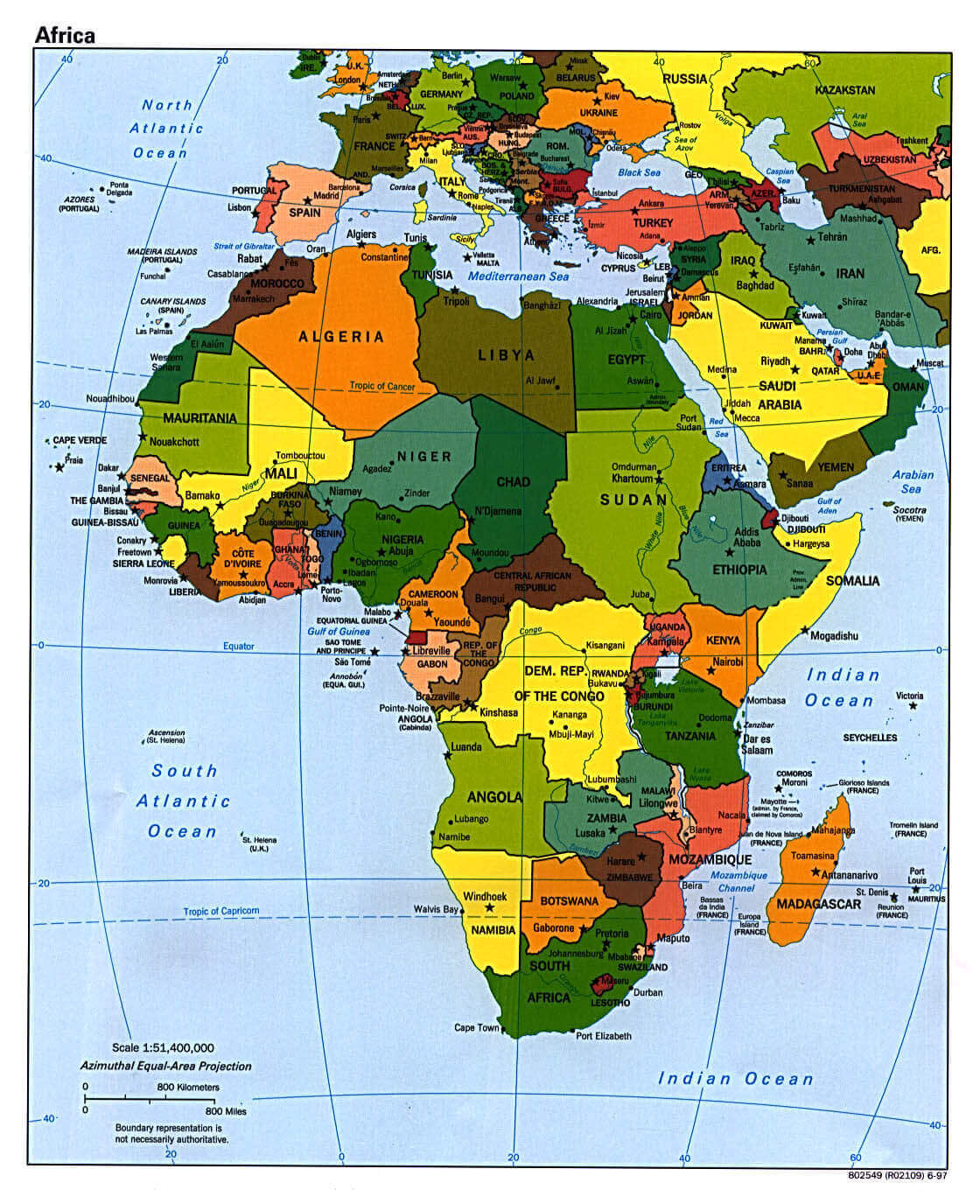
Africa on World map colorful
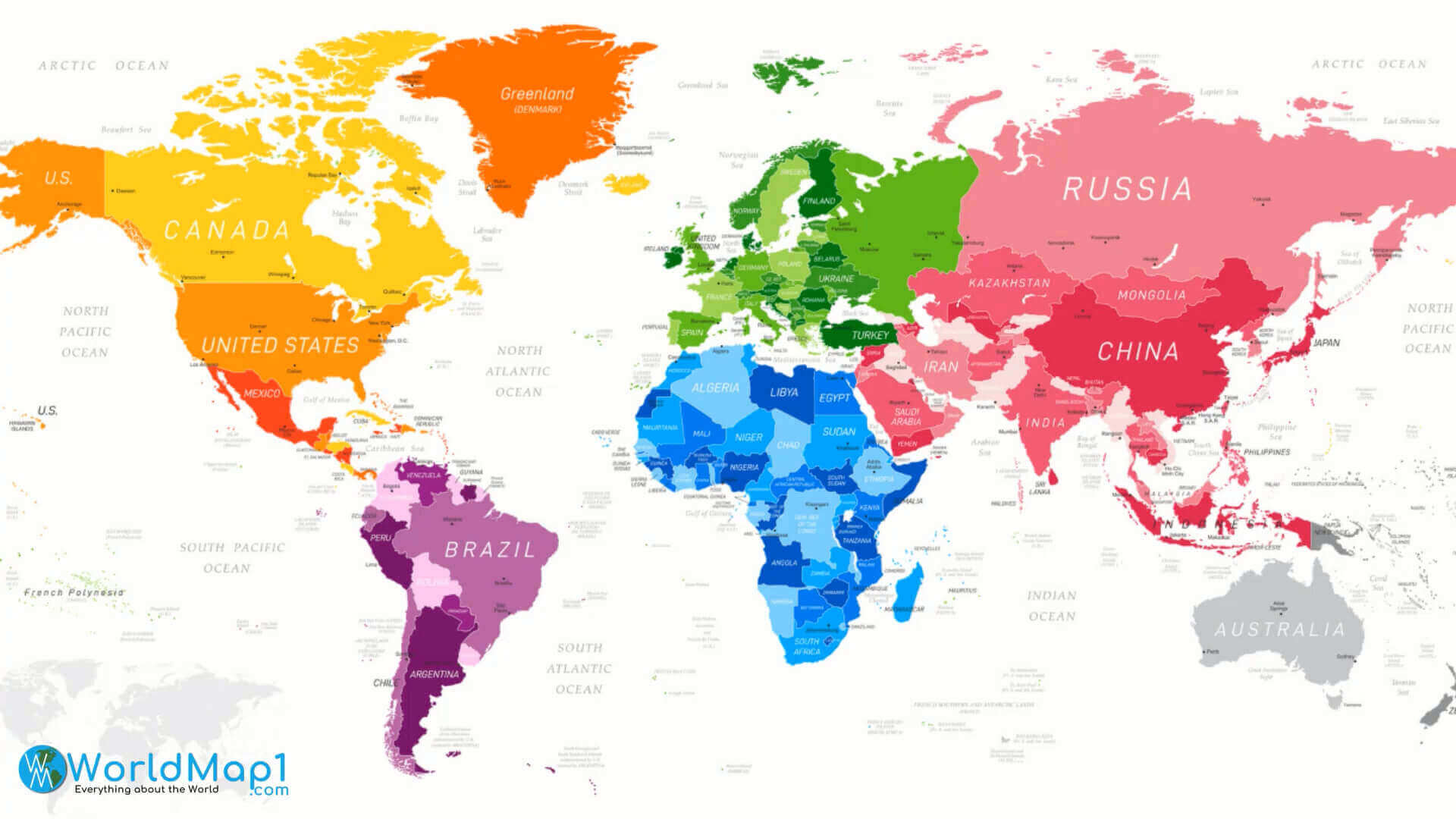
Africa political maps
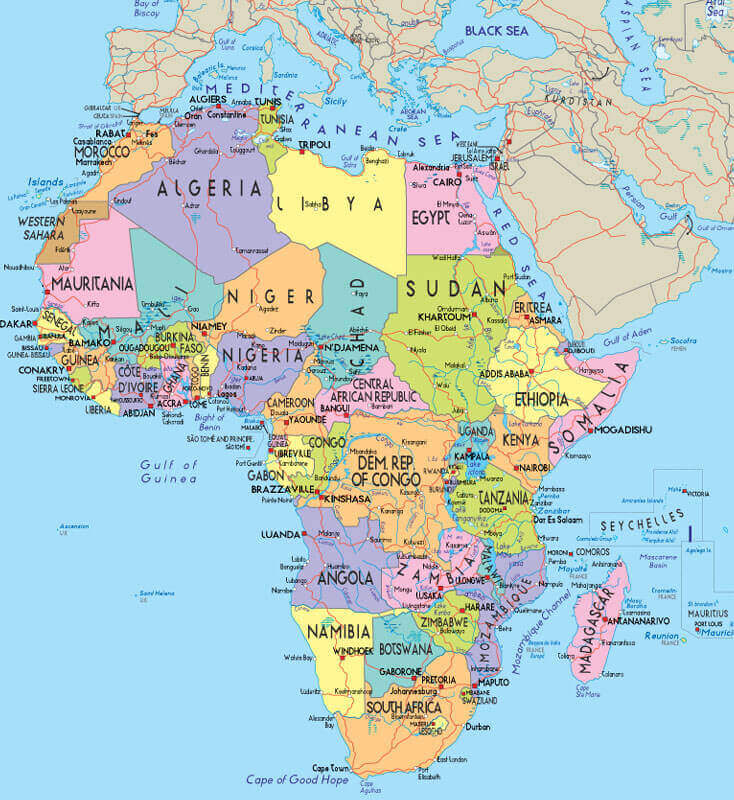
Africa political World infographic map
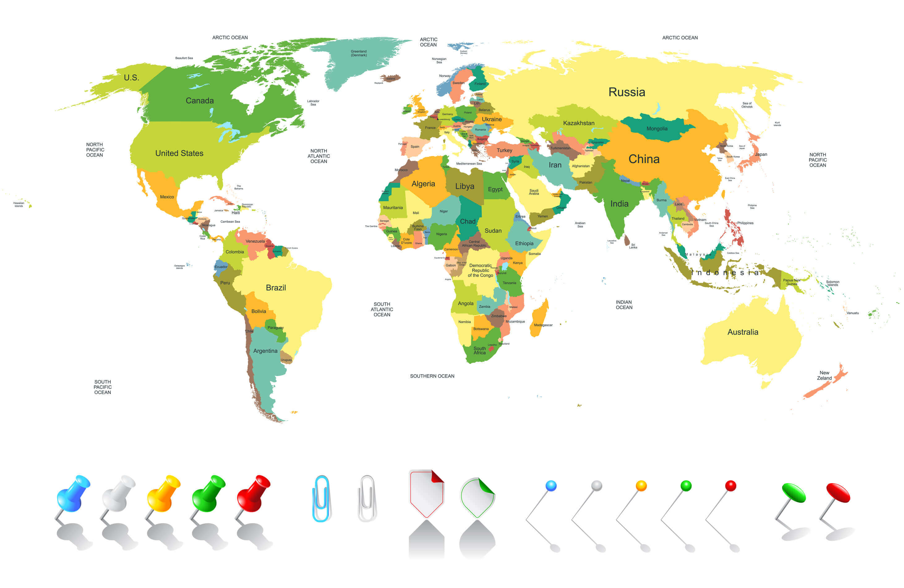
Africa regions map
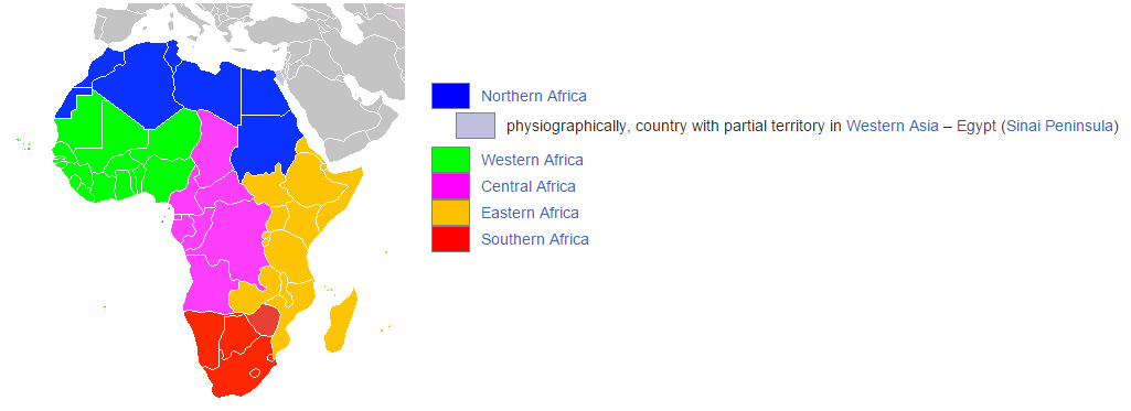
Afro eurasia map

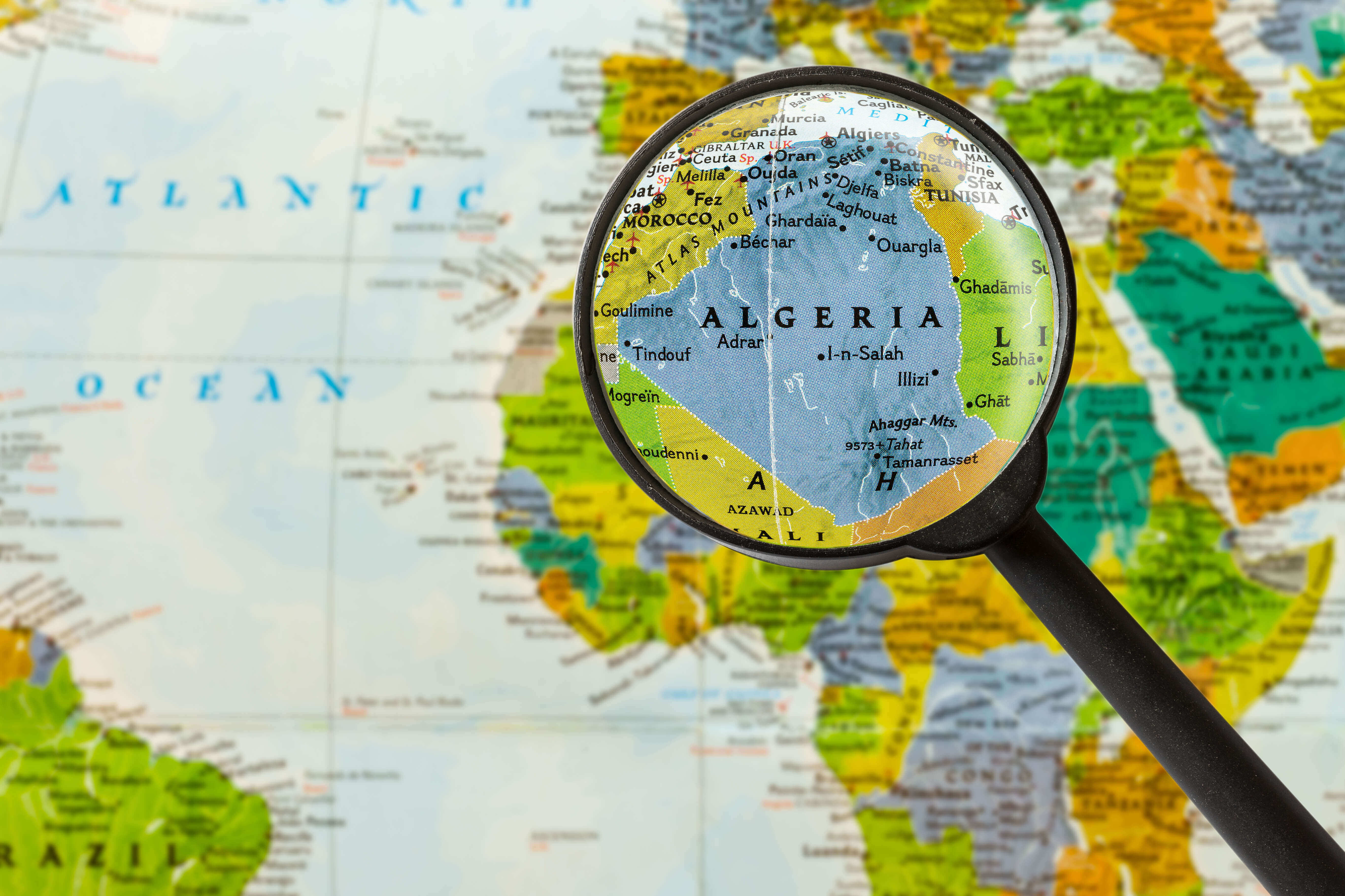
Algeria map in Africa
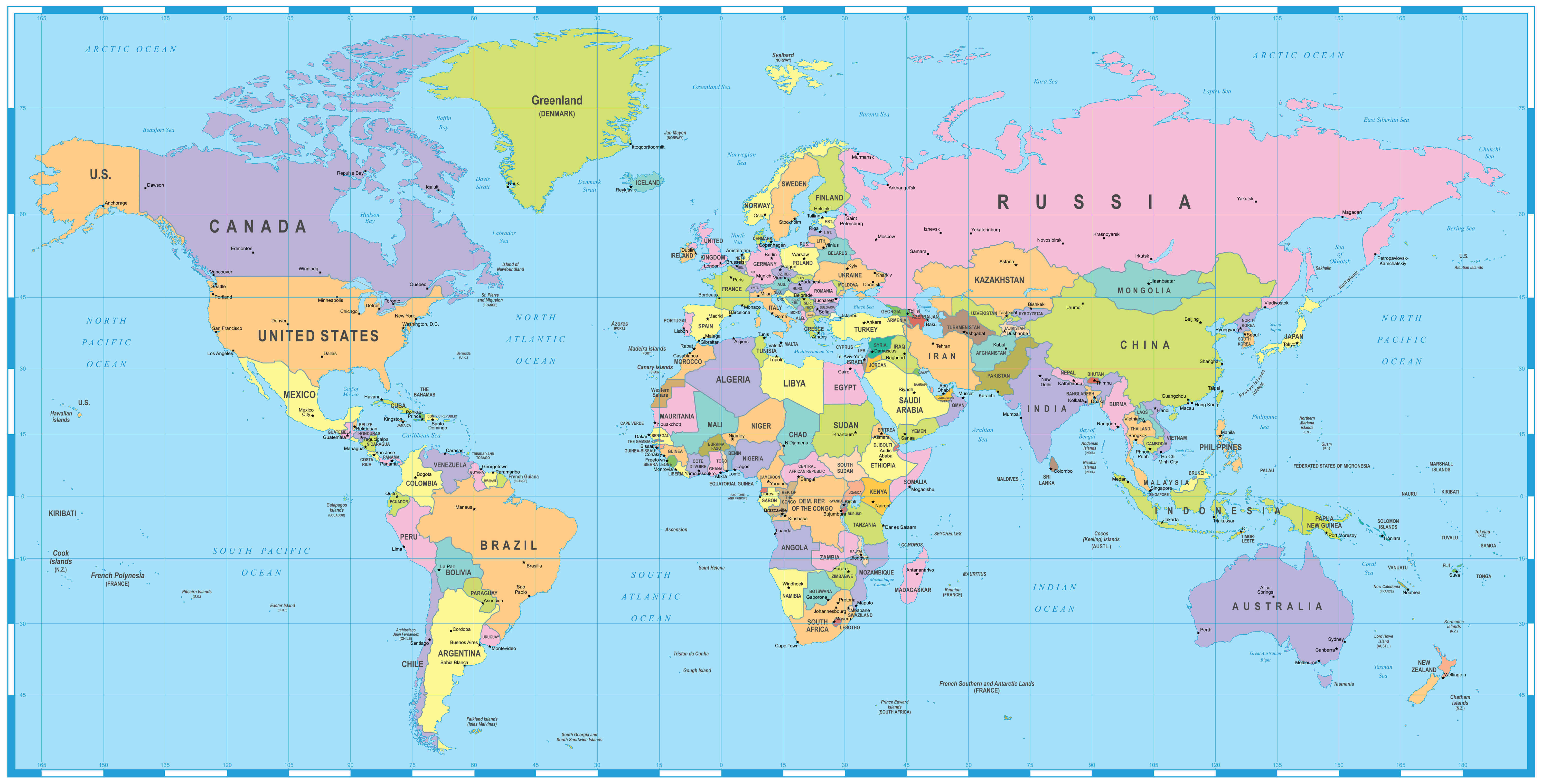
Colored World map Africa
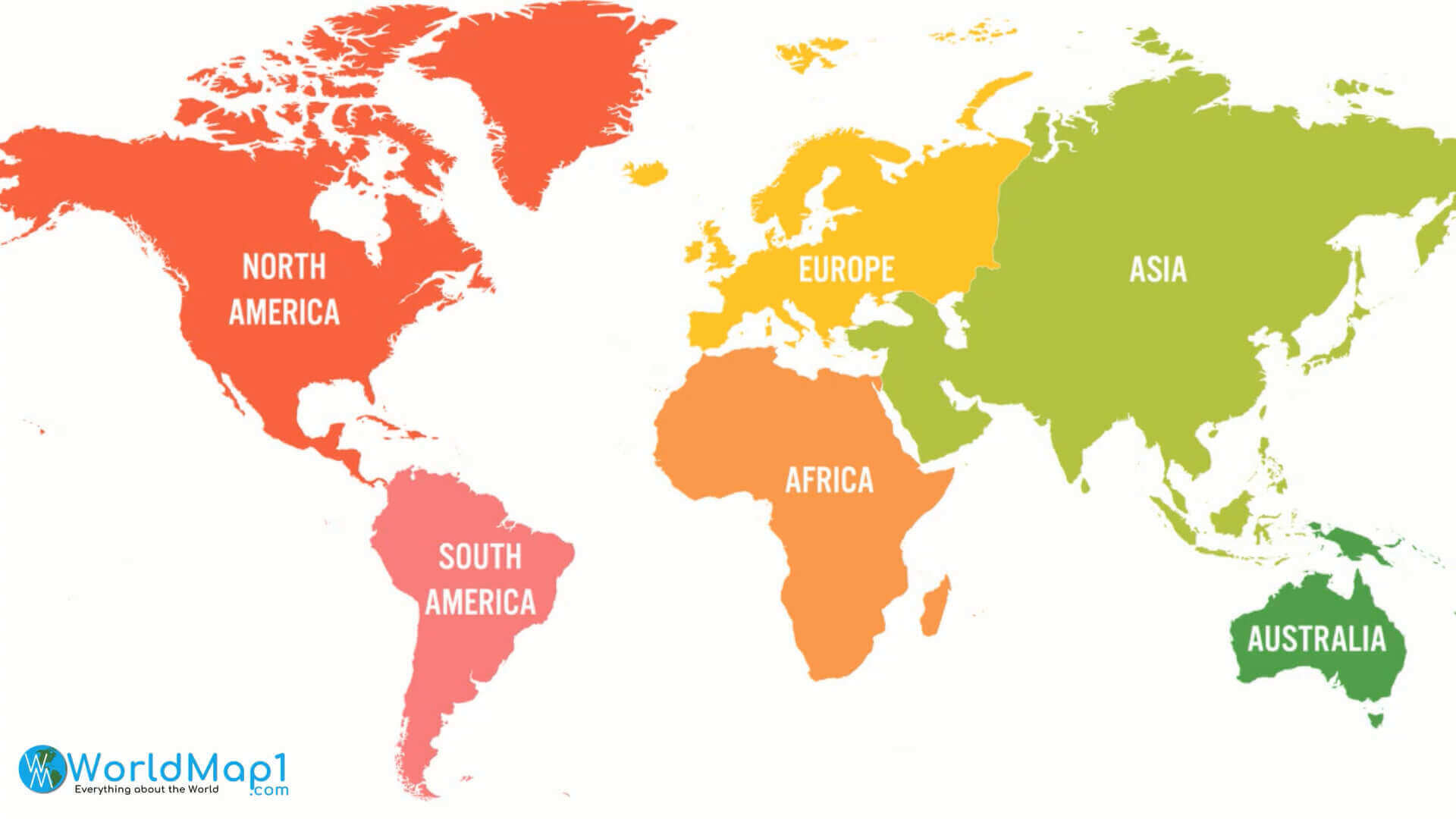
Continents map with Africa
Map of Africa

Maps of Africa
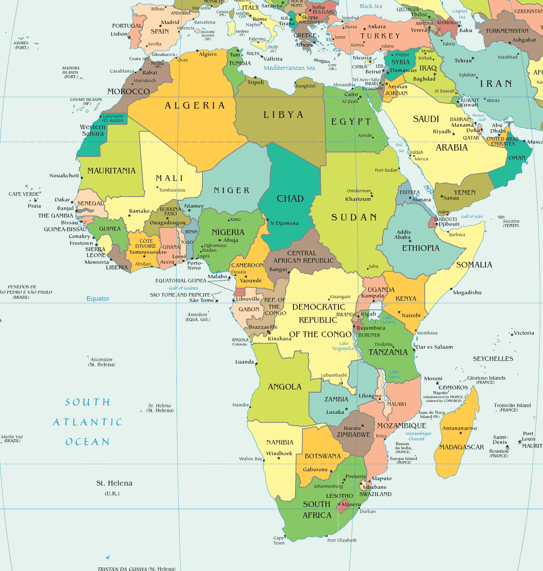
Political map of Africa in 2021
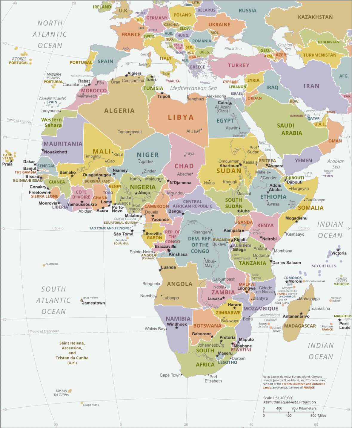
Political map of World and Africa
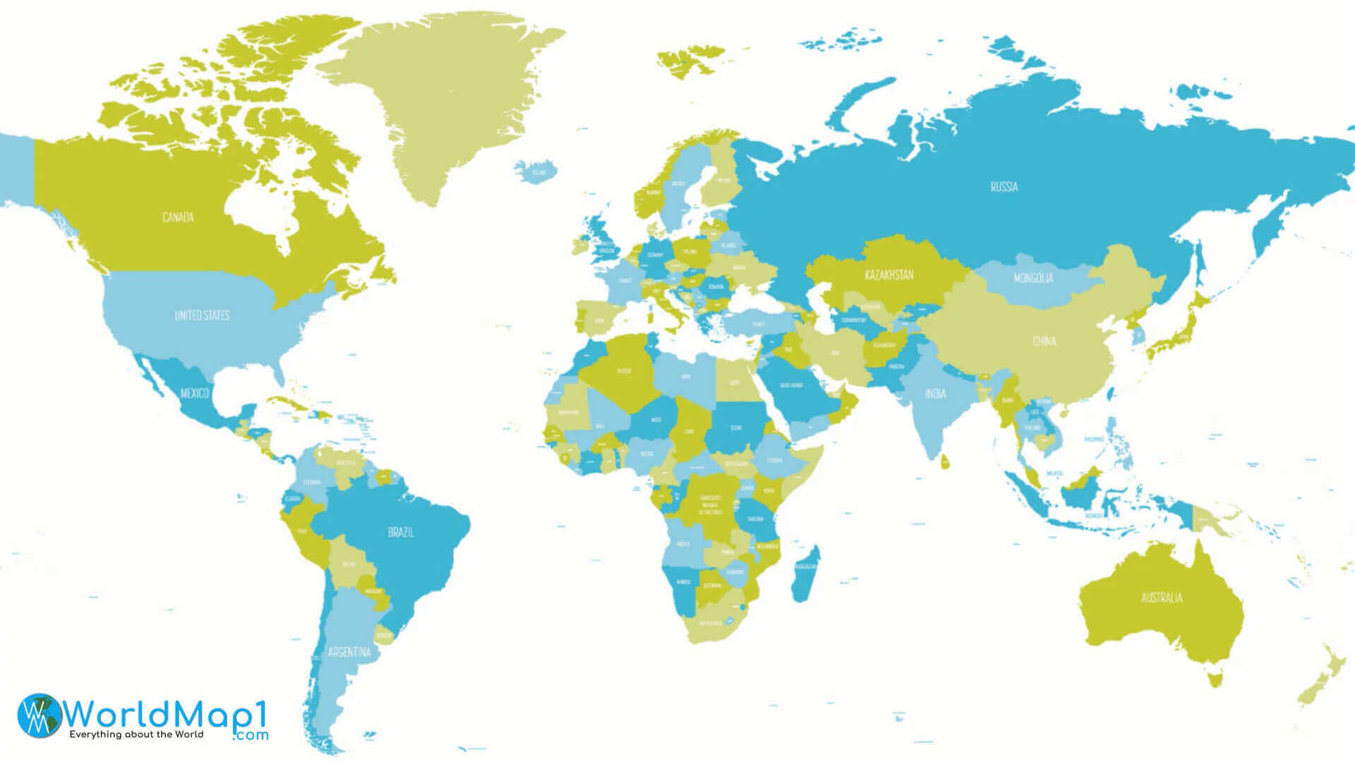
Where is Africa on the World map
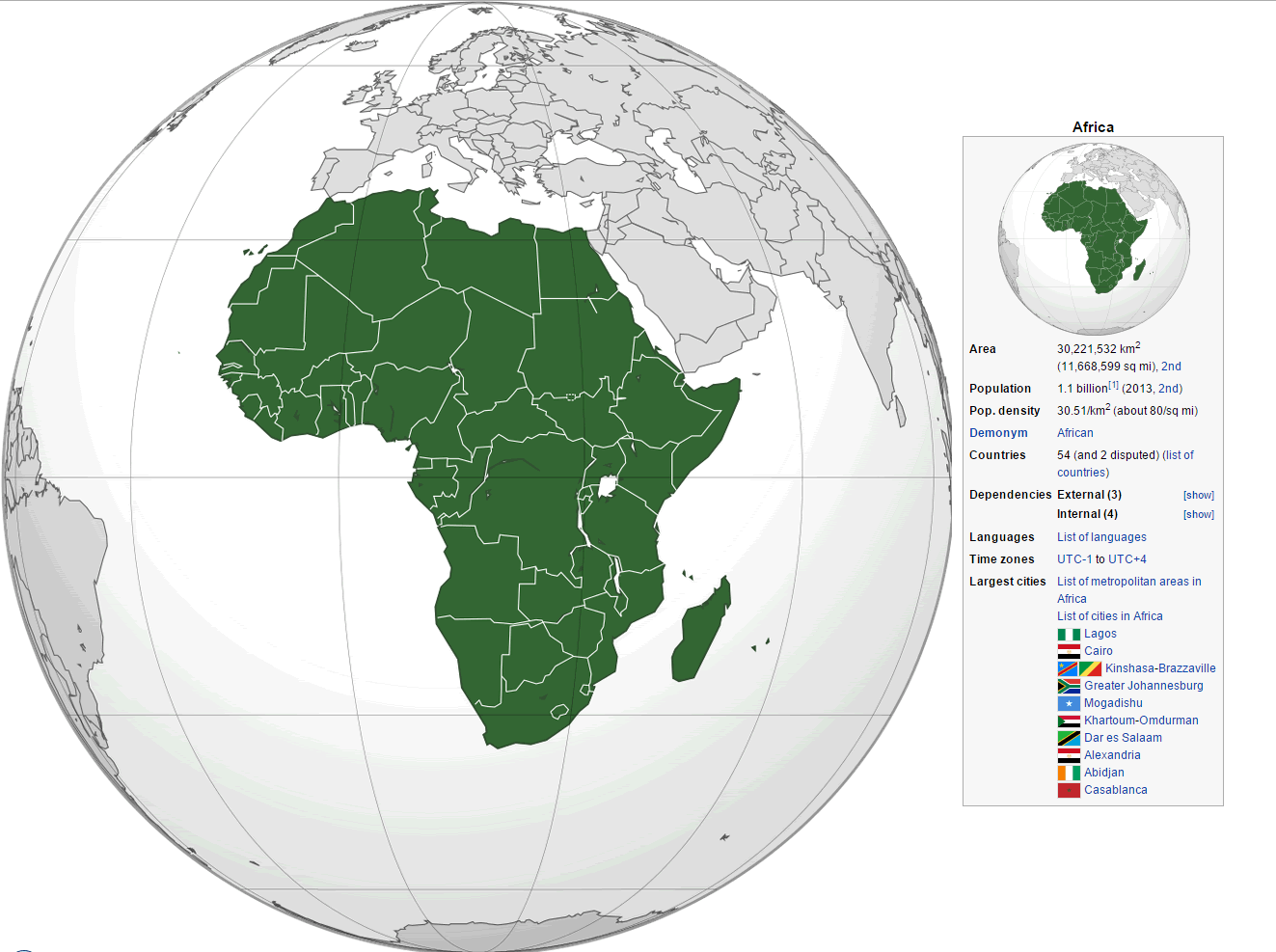
World map and Africa map
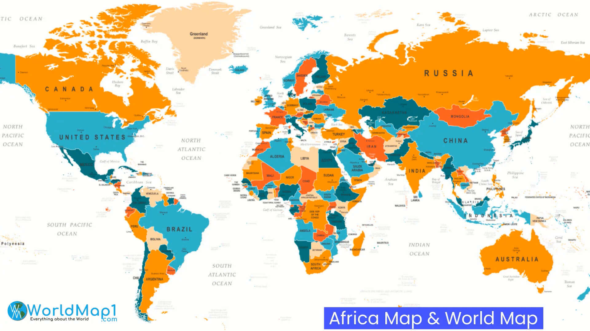
Where is Africa on the World Map?
Show Google Interactive Maps and satellite maps of where the country is located.
Get directions by driving, walking, bicycling, public transportation and travel with street view.
Feel free to explore these pages as well:
- Africa Map IV ↗️
- Africa Map ↗️
- Africa High-resolution Map ↗️
- Map of Africa ↗️
- Africa Physical Map ↗️
- Africa Political Map ↗️
- Africa Countries Map ↗️
- Africa Population Map ↗️
- Africa Road Map ↗️
- Africa Topographic Map ↗️
- Africa Religion Map ↗️
- Africa Cities Map ↗️
- Africa Time Zone Map ↗️
- Muslim Population Map in Africa by Country ↗️
- A Collection of Algeria Maps: Exploring a North African Gem via Maps ↗️
- Visit Africa ↗️
- Africa Map I ↗️
- Africa Map II ↗️
- Africa Map III ↗️
- Africa Map V ↗️
