Bangladesh, a country rich in culture, history, and natural beauty, is also a country with a myriad of geographical intricacies. This blog post is designed to be a comprehensive guide to various maps of Bangladesh. Whether you’re a student, a traveler, or simply someone curious about the land of rivers, this collection of Bangladesh maps will provide you with detailed insights. Each map type serves a unique purpose and offers a different perspective on the country. Let’s dive in!
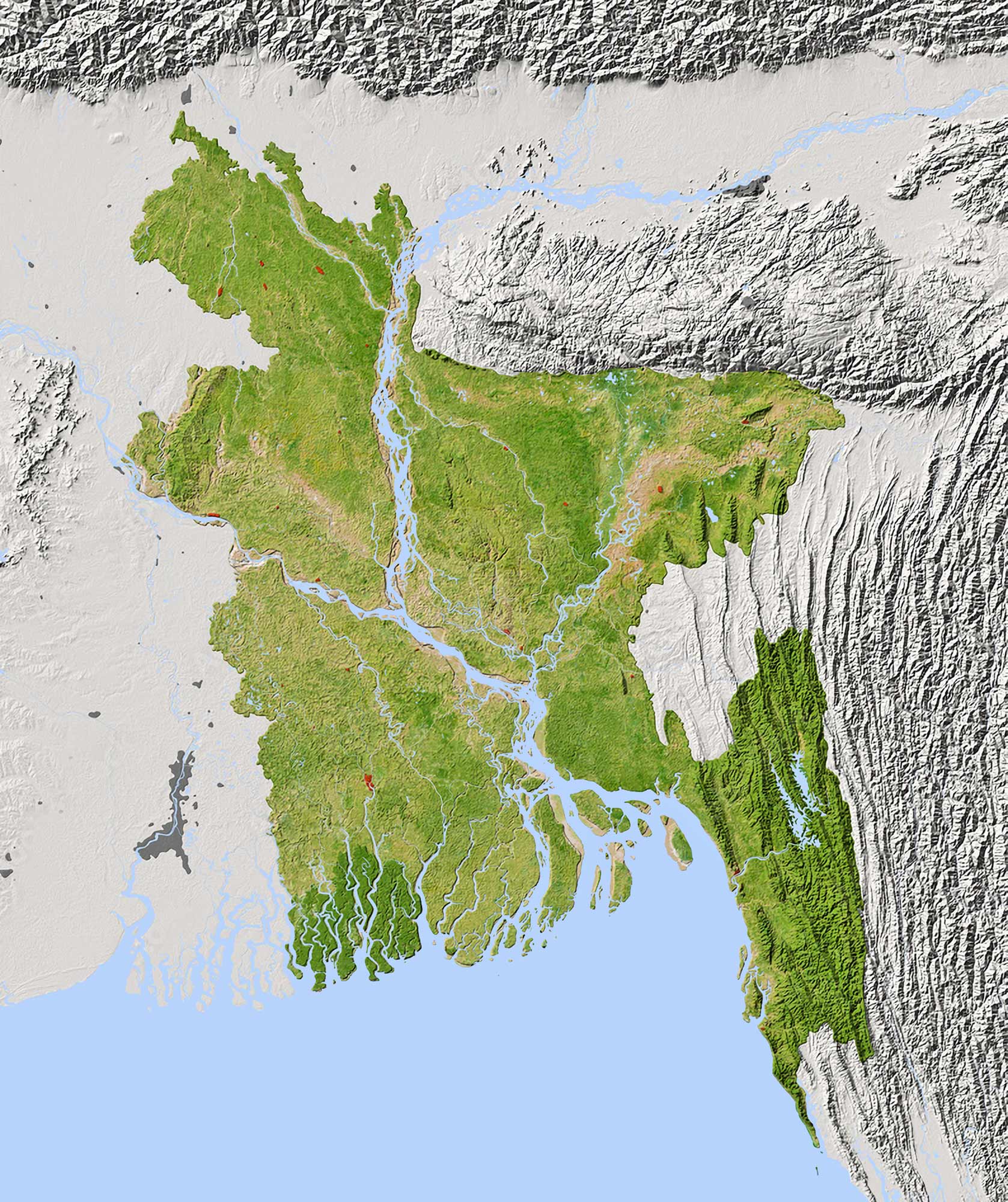
1. Bangladesh Physical Map
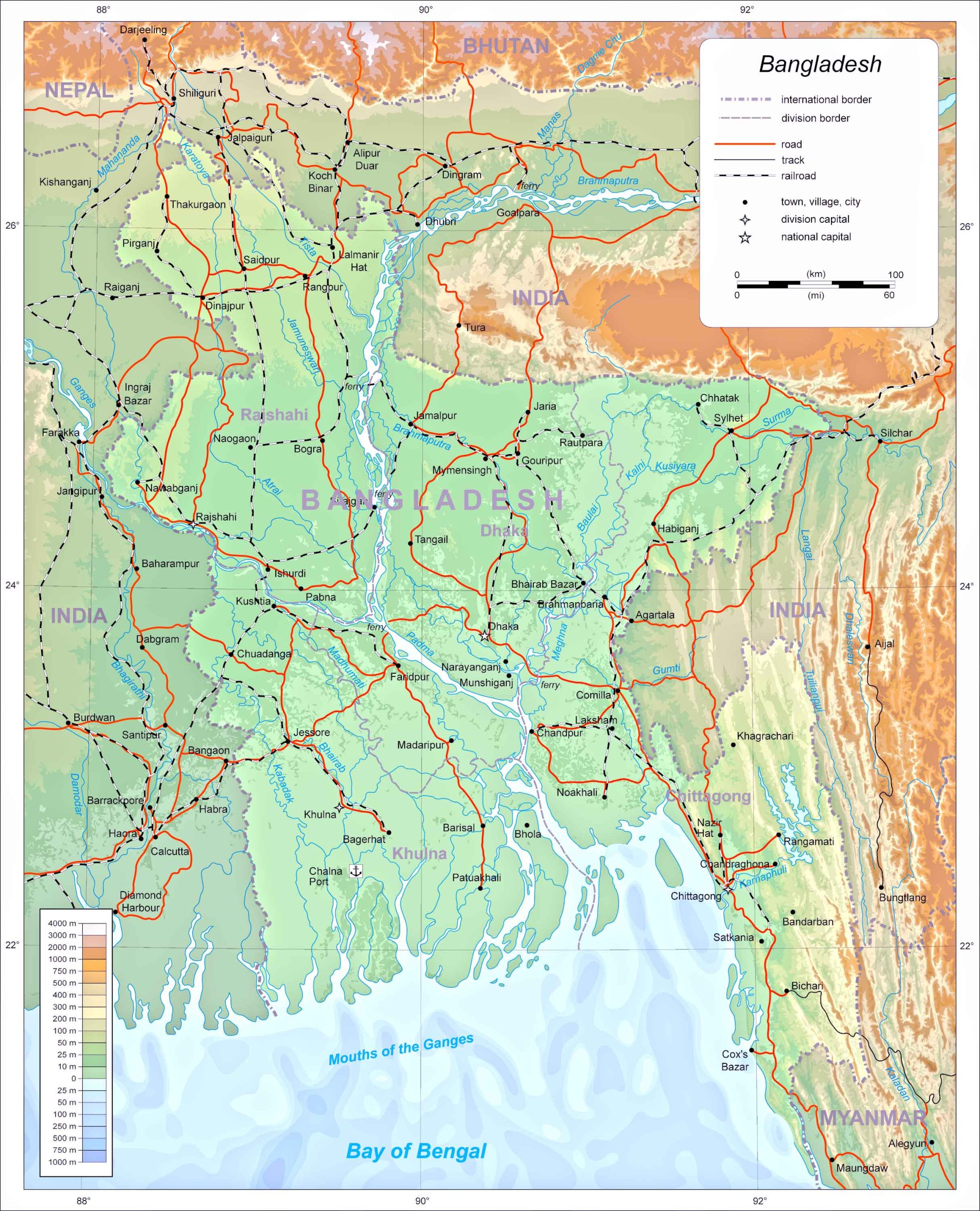
This map showcases the natural features of Bangladesh, including its rivers, mountains, and plains. It’s an essential tool for understanding the country’s physical landscape.
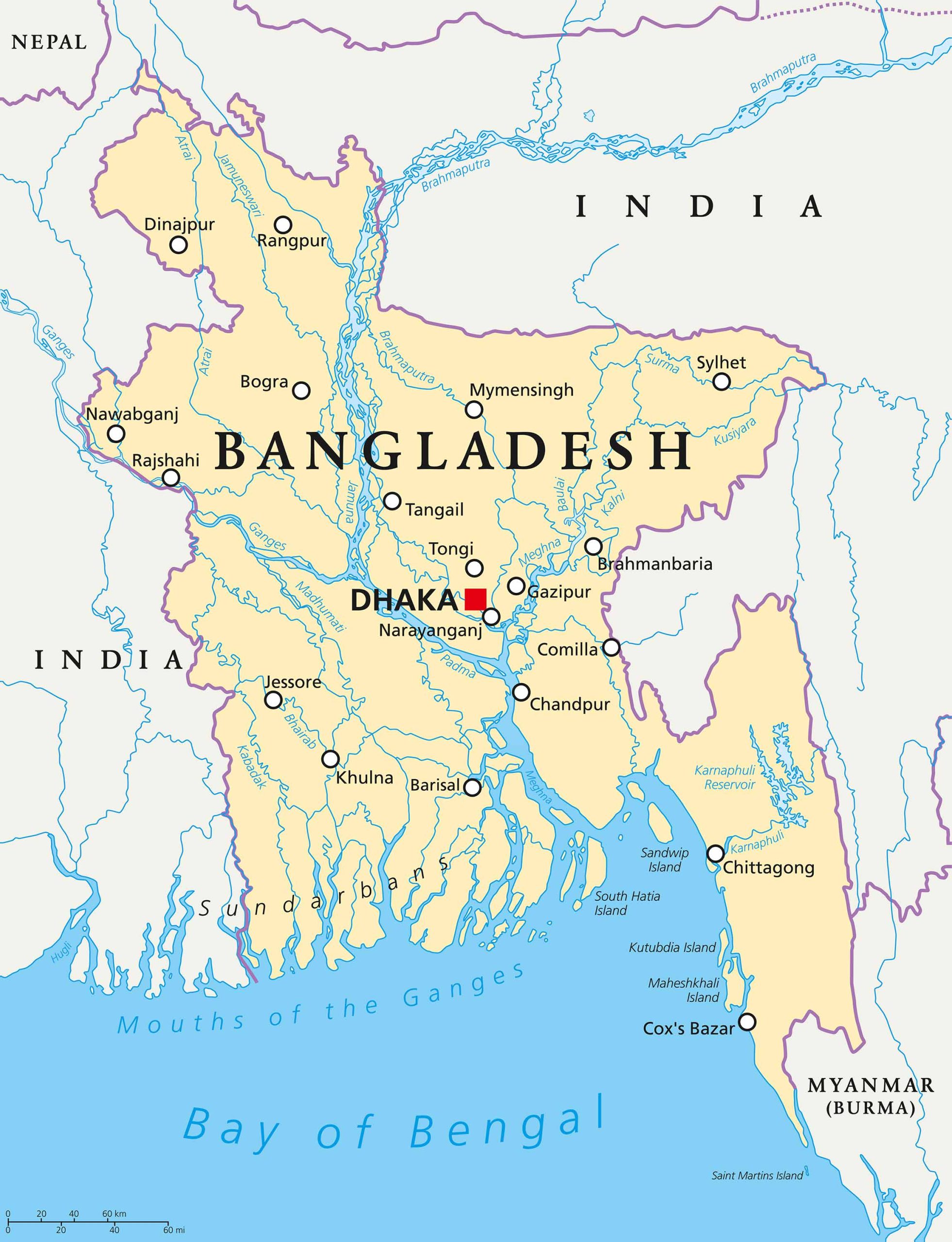
2. Bangladesh Political Map
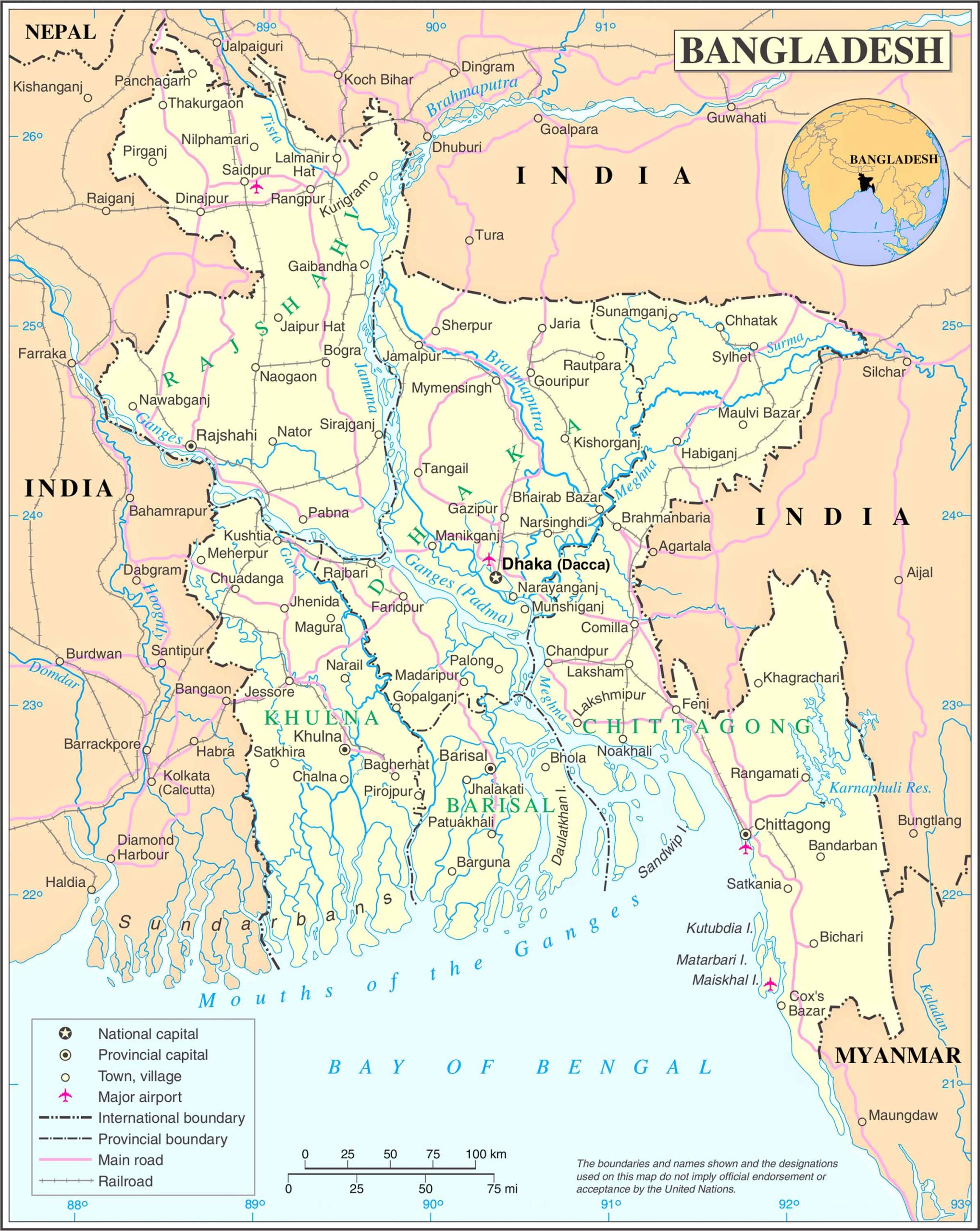
Highlighting the boundaries, major cities, and political divisions, this map gives an overview of Bangladesh’s political landscape.
3. Bangladesh Topographic Map
Detailing the elevation and contour of the land, the topographic map is useful for hikers and those interested in the country’s terrain.
4. Bangladesh Geological Map
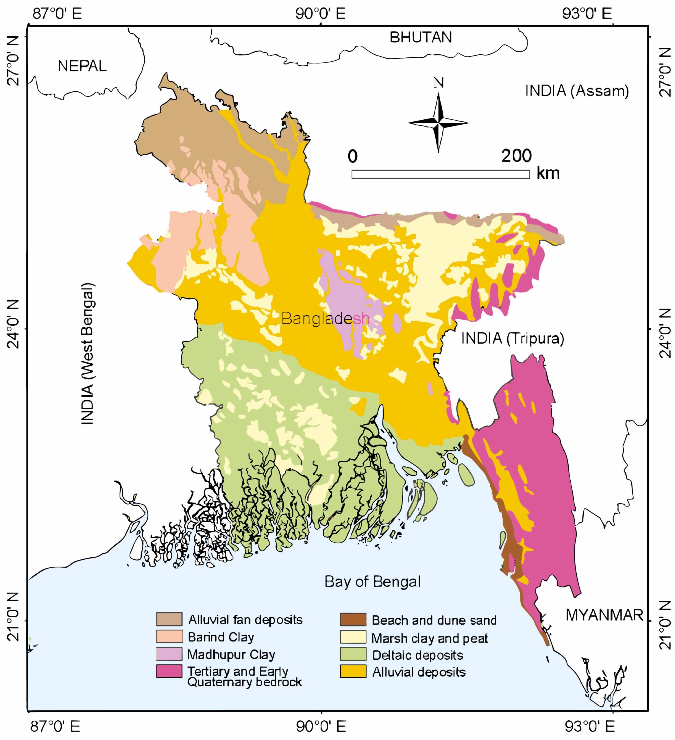
Providing insights into the types of rocks and their age, this map is crucial for researchers and geologists.
5. Bangladesh Cities (Urban) Map
Pinpointing all major cities and urban areas, this map is vital for urban planners and travelers alike.
6. Bangladesh Regions Map
Displaying the different regions of Bangladesh, this map helps in understanding the cultural and geographical divisions.
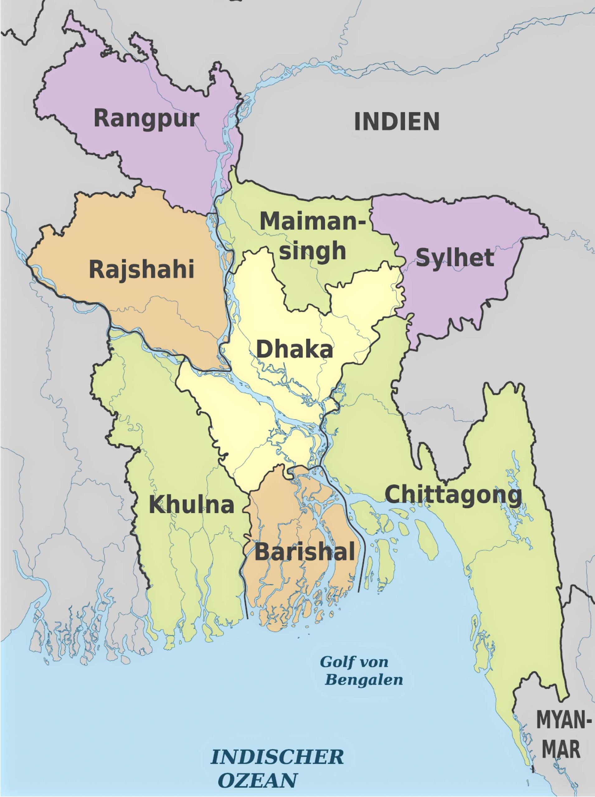
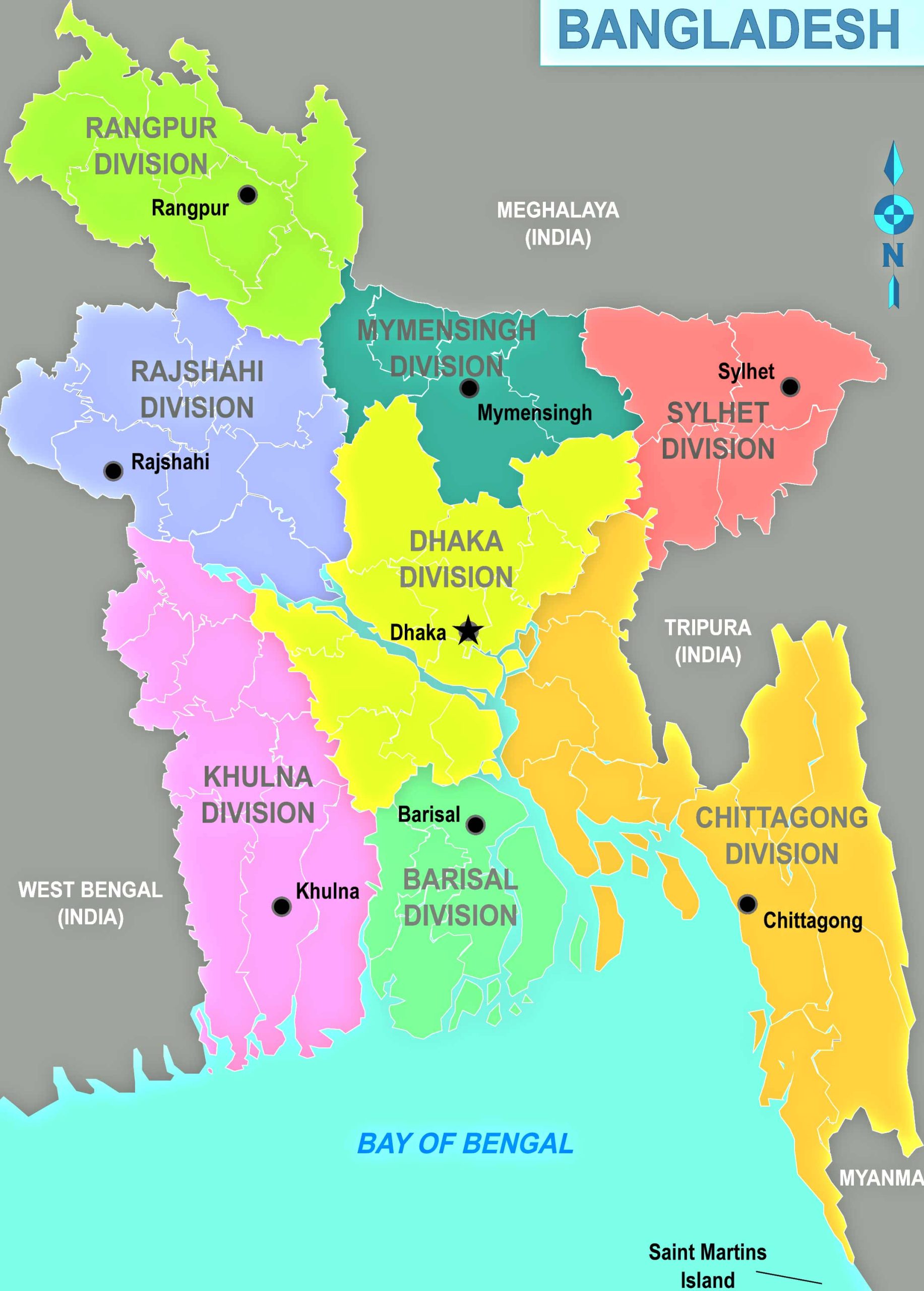
7. Bangladesh Administrative Divisions Map
This map breaks down the country into its administrative divisions, making it easier for governance and administration.
8. Bangladesh Relief Map
Highlighting the highs and lows of the terrain, the relief map is essential for understanding the country’s topography.
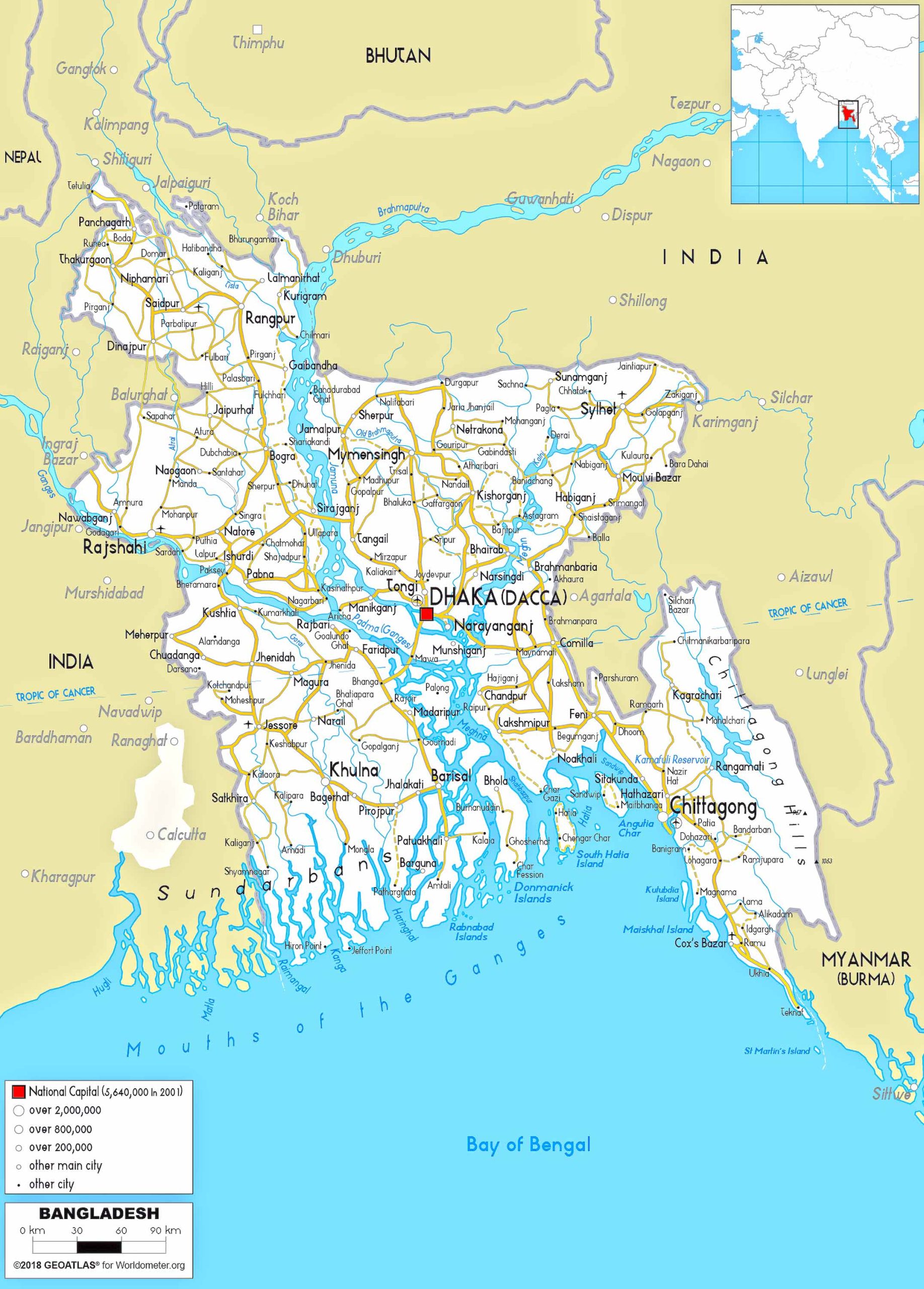
9. Bangladesh Transit Map
Showcasing the major transit routes, this map is a must-have for commuters and travelers.
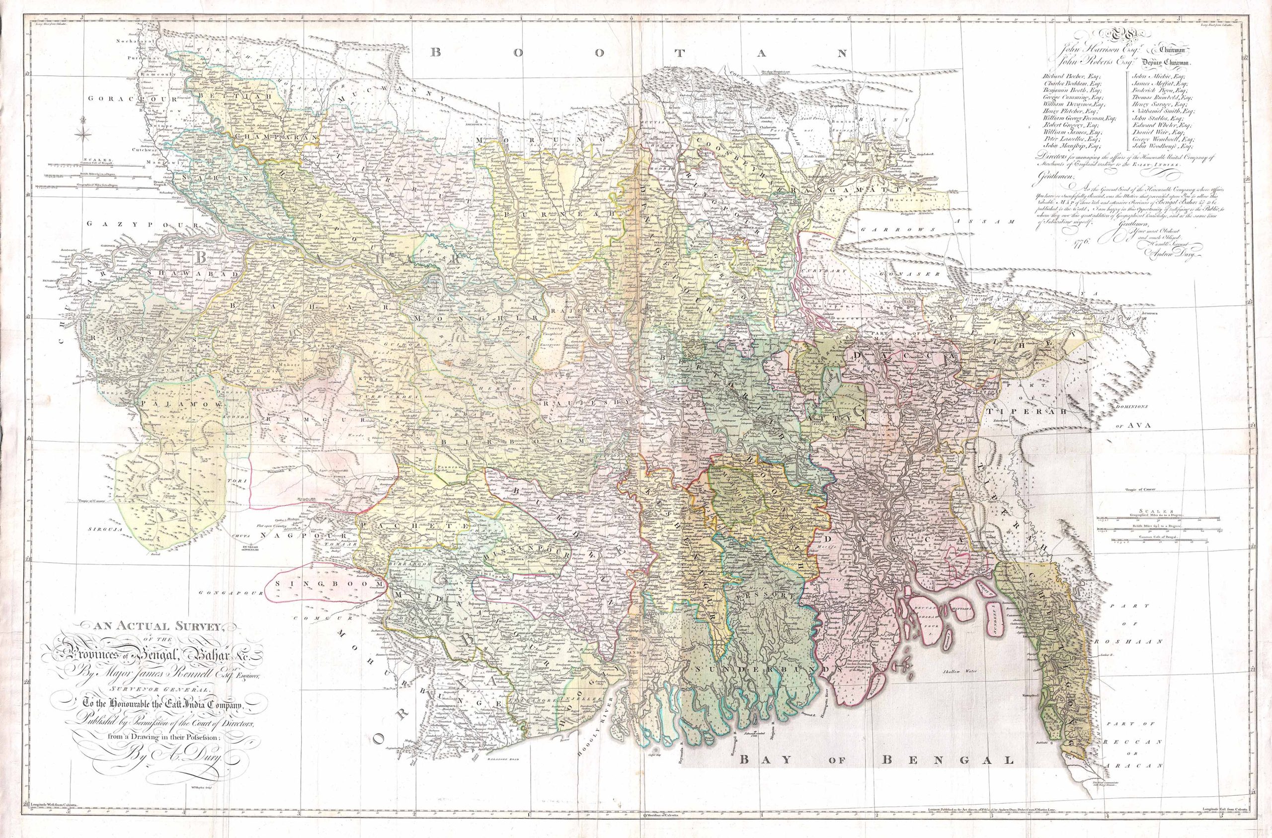
10. Bangladesh Historical Map (Map of Bihar and Bengal (1776)
Offering a glimpse into Bangladesh’s past, this map is a treasure for history enthusiasts.
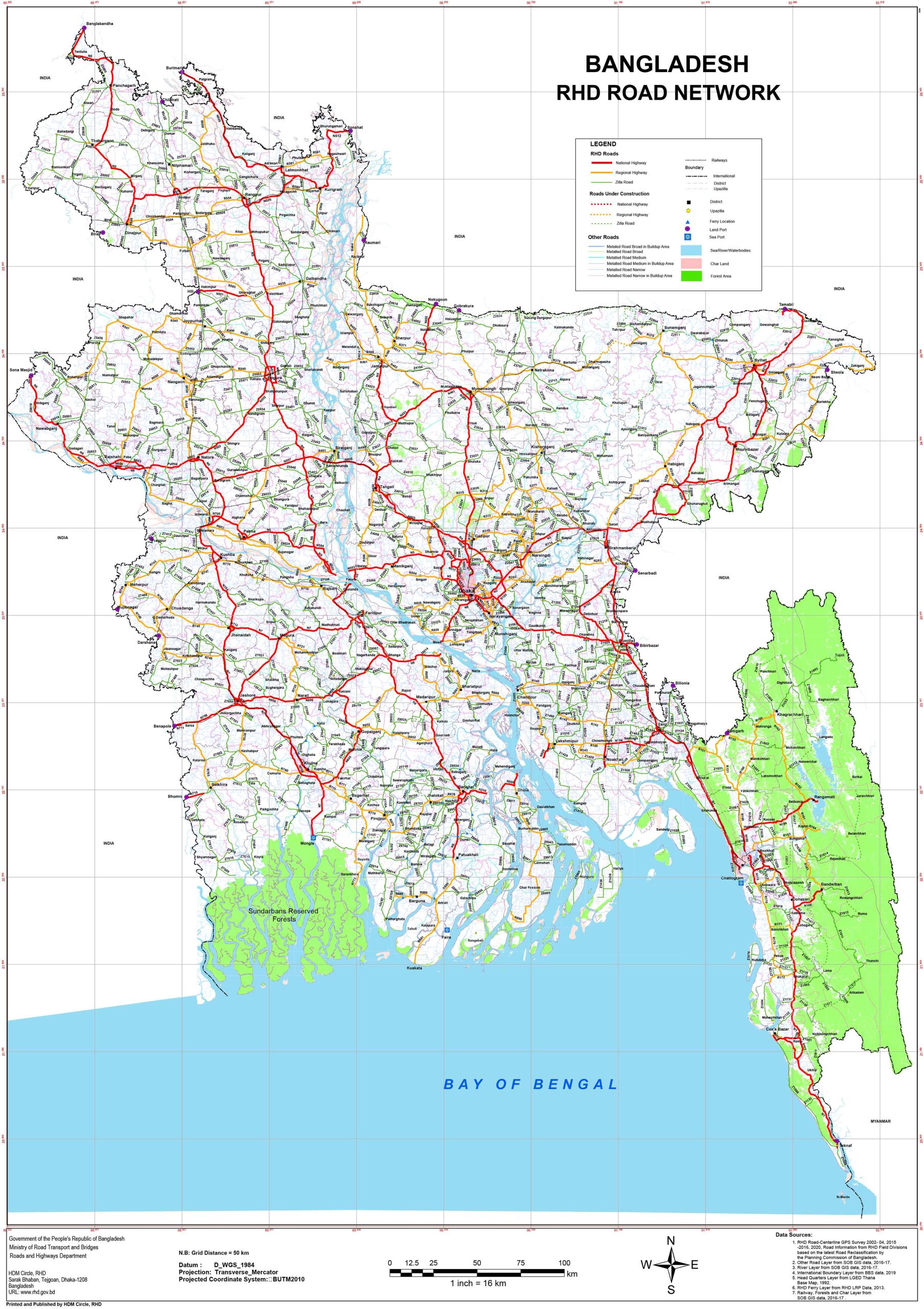
11. Bangladesh Road Map
Detailing all major roads and highways, this map is indispensable for drivers and road trippers.
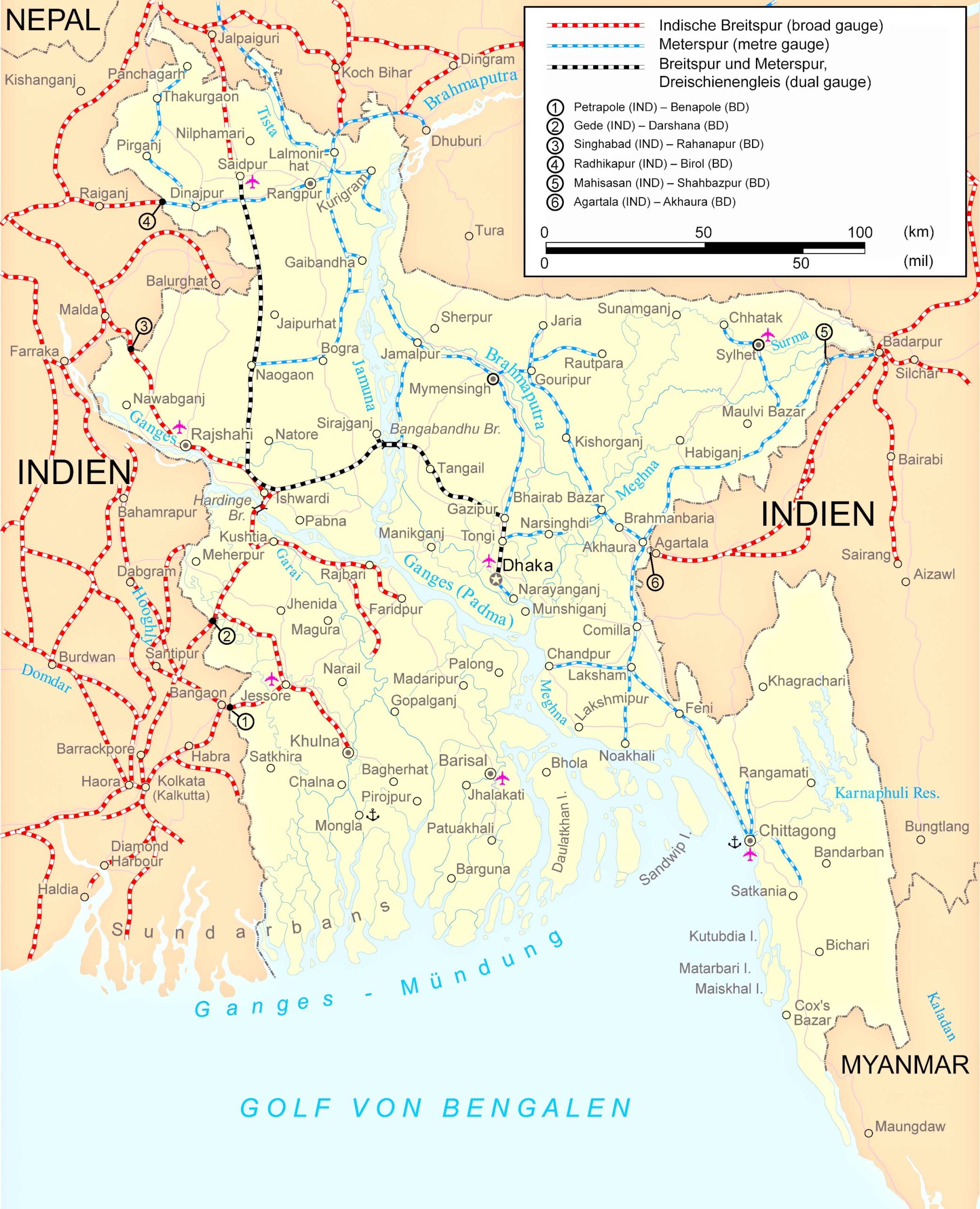
12. Bangladesh Train-Railway Map
Highlighting the train routes and stations, it’s a must for train travelers.
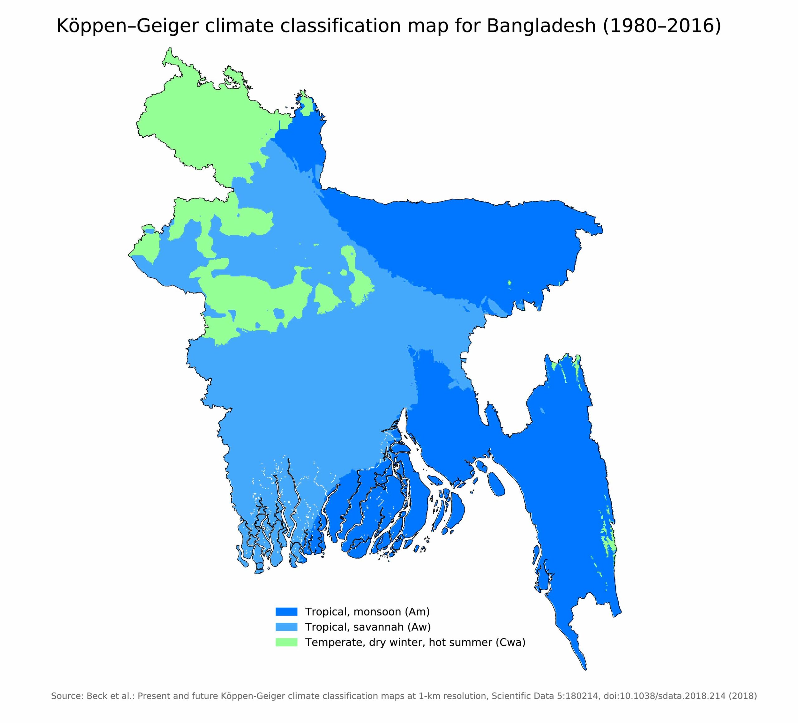
13. Bangladesh Climatic Map
Showcasing the country’s climate zones, this map is crucial for agriculturists and weather enthusiasts.
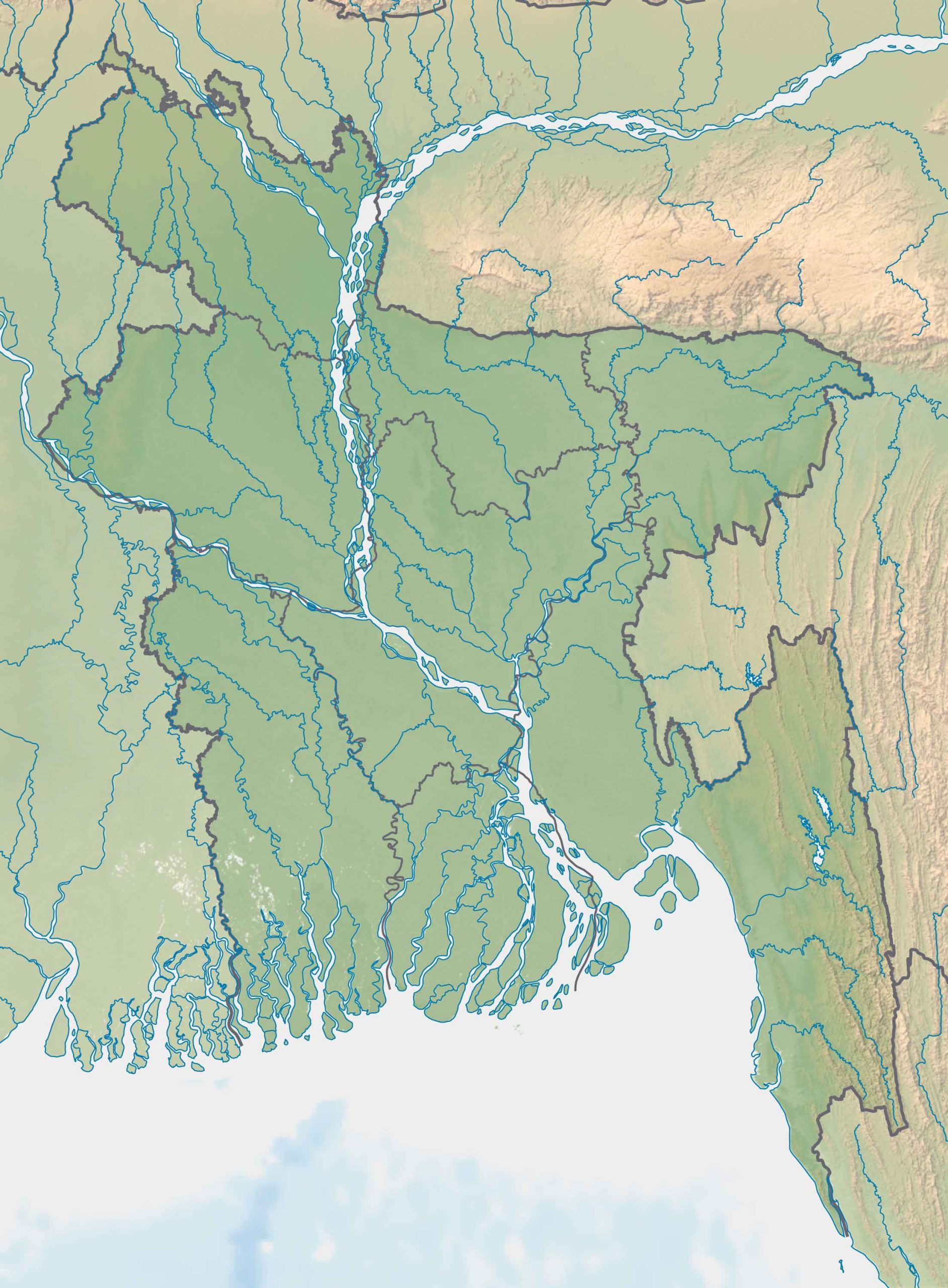
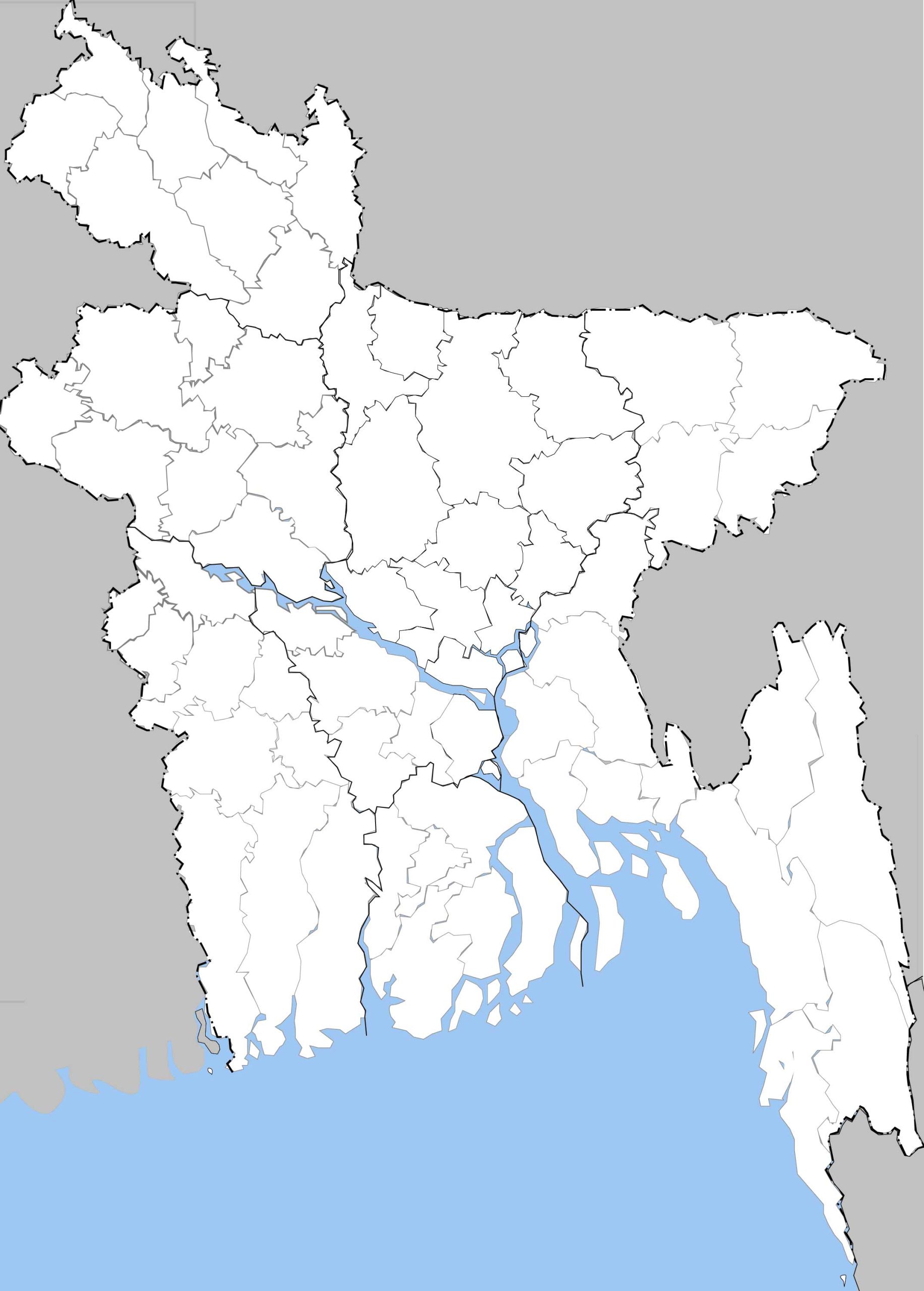
14. Bangladesh Blank Map
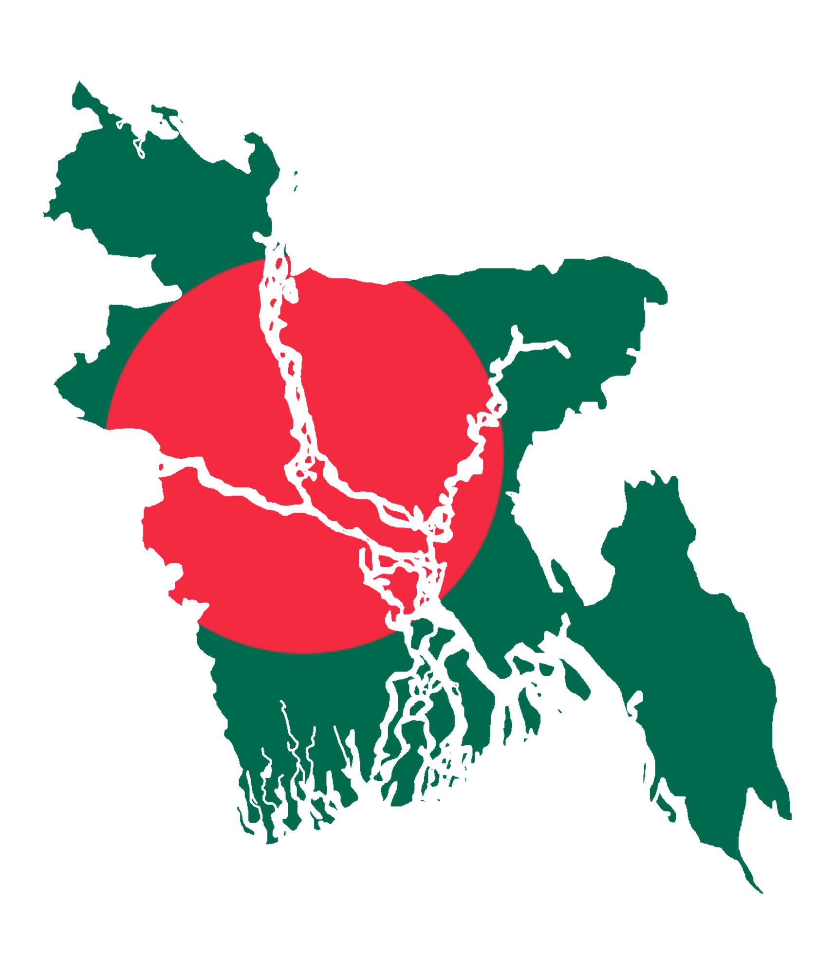
15. Bangladesh Flag Map
A unique representation, this map overlays the national flag onto the country’s outline, fostering national pride.
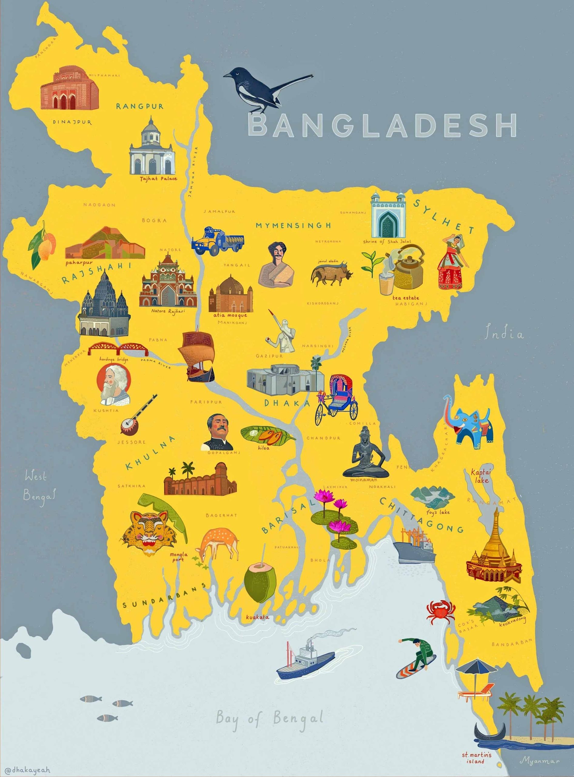
16. Bangladesh Travel-Tourist Map
Tailored for tourists, this map highlights attractions, hotels, and landmarks.
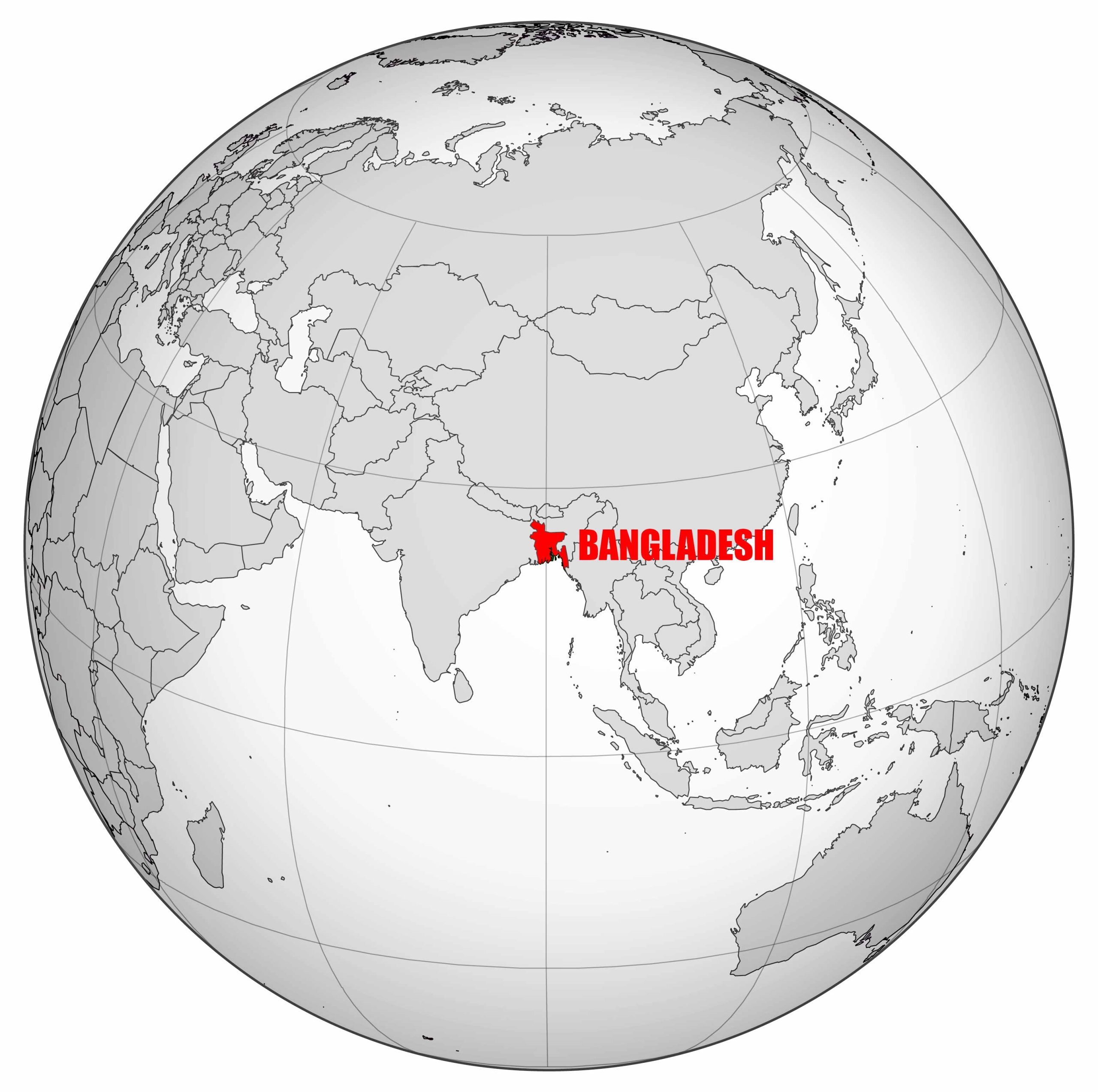
17. Map of Bangladesh’s Location in the World Map
This map situates Bangladesh on the global stage, showing its relation to other countries.
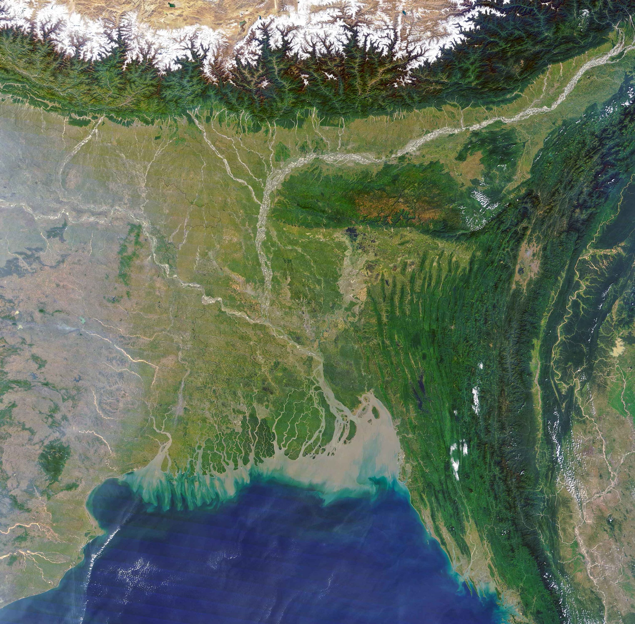
18. Bangladesh Earth Satellite Map
A breathtaking view from space, this map captures Bangladesh’s beauty from a bird’s eye view.
Maps are more than just pieces of paper or digital images; they are windows into the soul of a country. Through this collection, we’ve journeyed through the many facets of Bangladesh. Whether you’re planning your next trip, undertaking academic research, or simply satiating your curiosity, we hope this comprehensive guide to Bangladesh maps has been enlightening. Remember, every map tells a story, and Bangladesh has many tales to share. Safe travels and happy exploring!
Where is Bangladesh on the Asia Map?
Show Google map, satellite map, where is the country located.
Get directions by driving, walking, bicycling, public transportation and travel with street view.
Feel free to explore these pages as well:
- India Map ↗️
- Asia Map ↗️
- Map of Asia ↗️
- Bangkok: Asia’s City of Angels and Its Hidden Gems ↗️
- A Collection of Asia Maps ↗️
- About Asia and Maps ↗️
- A Collection of China Maps ↗️
- China’s Largest Cities ↗️
- A Collection of Bangladesh Maps ↗️
- Thailand Map ↗️
- About Thailand ↗️
- Thailand Photos ↗️
- Top 10 Experiences in Phuket ↗️
- Bangkok: Asia’s City of Angels and Its Hidden Gems ↗️

