- Advertisement -
Europe, a continent rich in history, culture and diversity, is vividly represented by a variety of maps that highlight its political boundaries, physical features and historical events. From political maps showing modern borders, including the UK, Russia and Turkey, to historical maps reflecting Europe’s development, each map offers a unique insight. Physical maps show Europe’s mountains, plains and elevations, while Holocaust maps detail the tragic events of World War II. In addition, maps place Europe on the world stage, illustrating its proximity to Africa and Asia and fostering a deeper understanding of its geography and global connections. These maps provide a gateway to exploring Europe’s past, present and place in the world.
Political Map of Europe with Country Borders and Capitals
 Political map of Europe showing country borders and capitals.
Detailed Political Map of Europe with Rivers
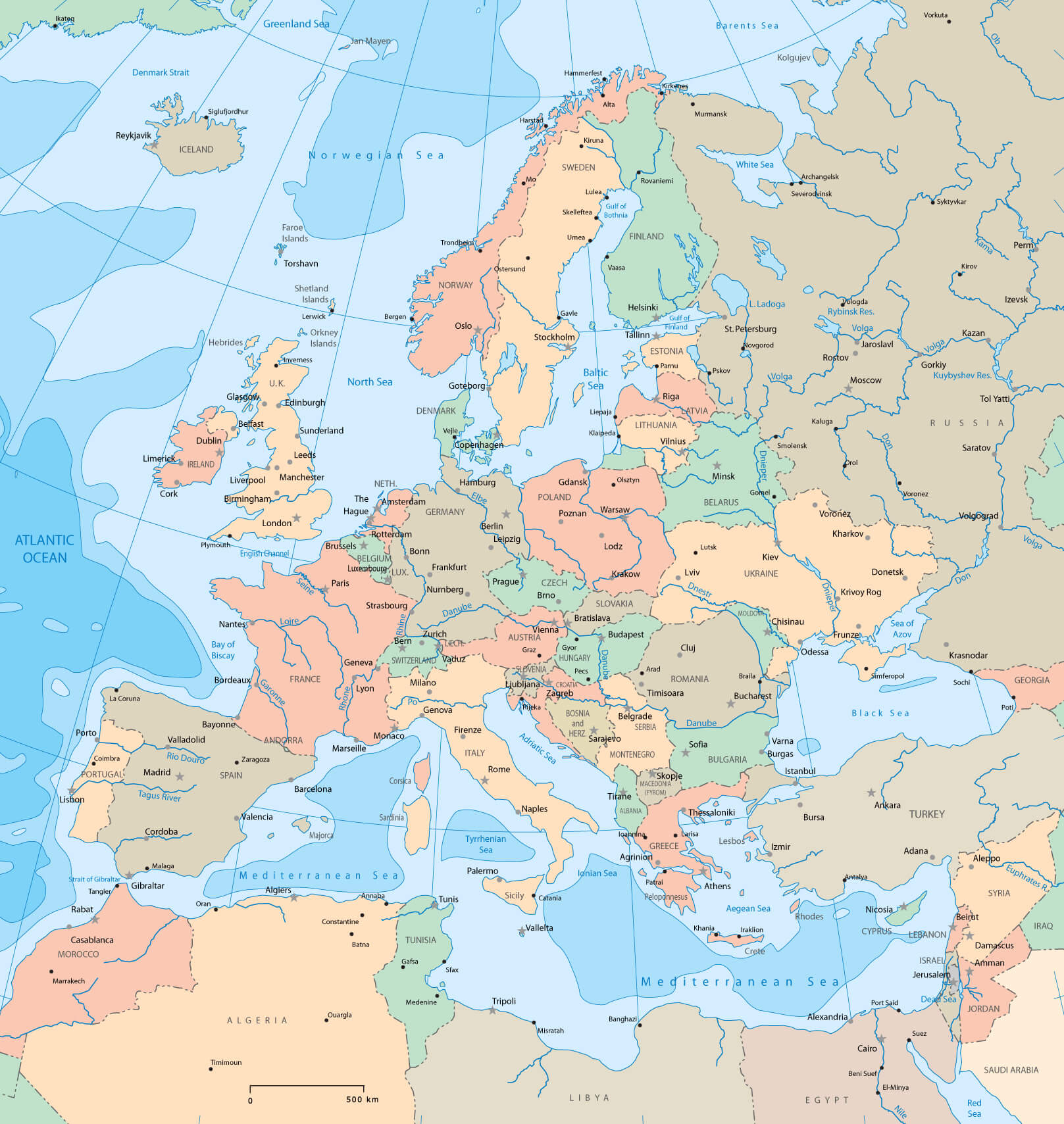 Political map of Europe showing countries, capitals, and major rivers.
Map of European Union Member States
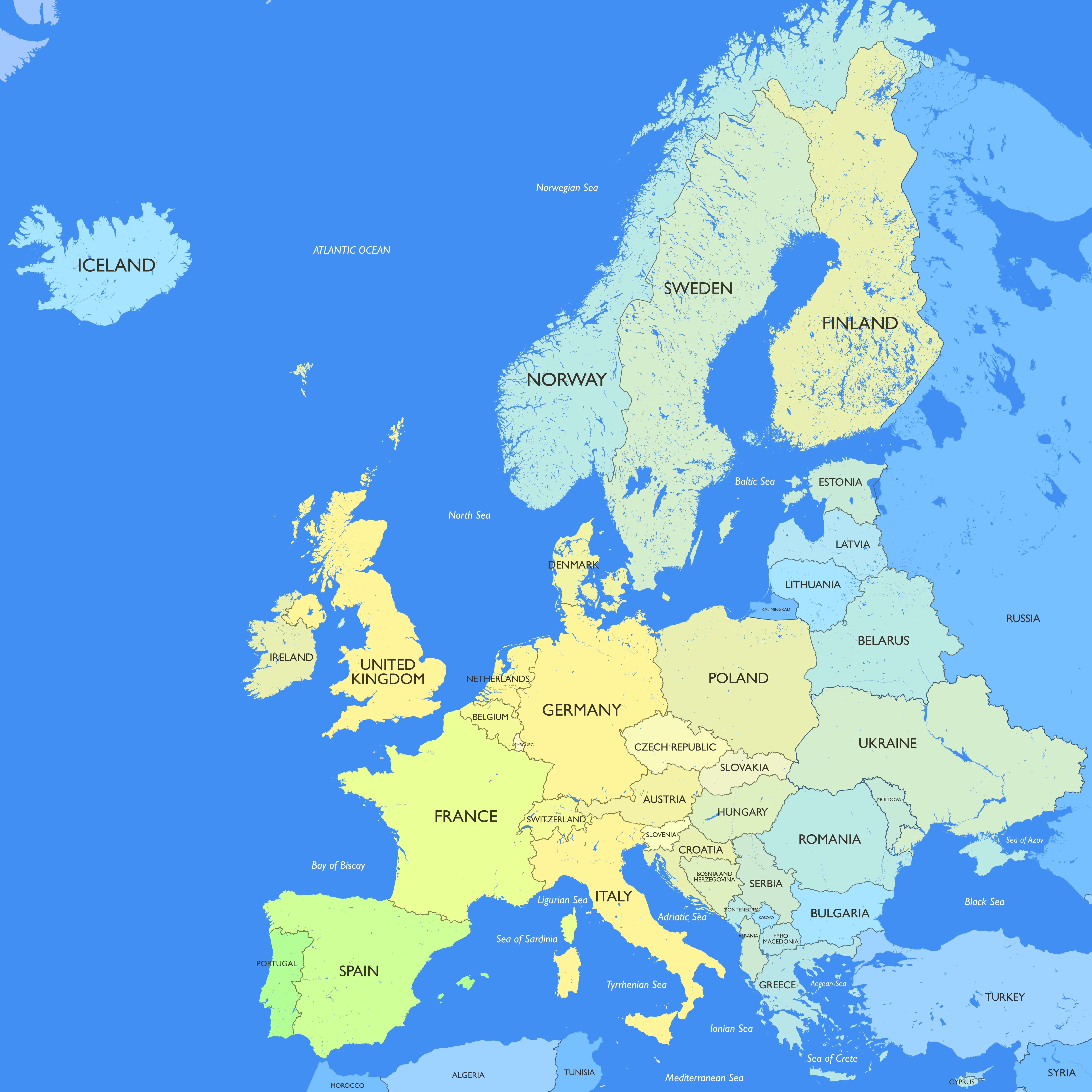
Location of Europe on the World Map
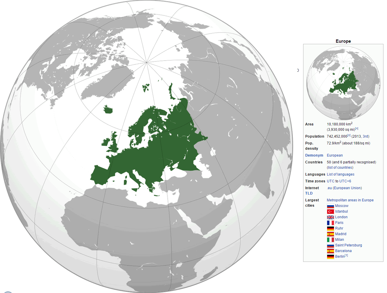 Map showing Europe highlighted on the globe in green.
Historical Political Map of Europe in 1944
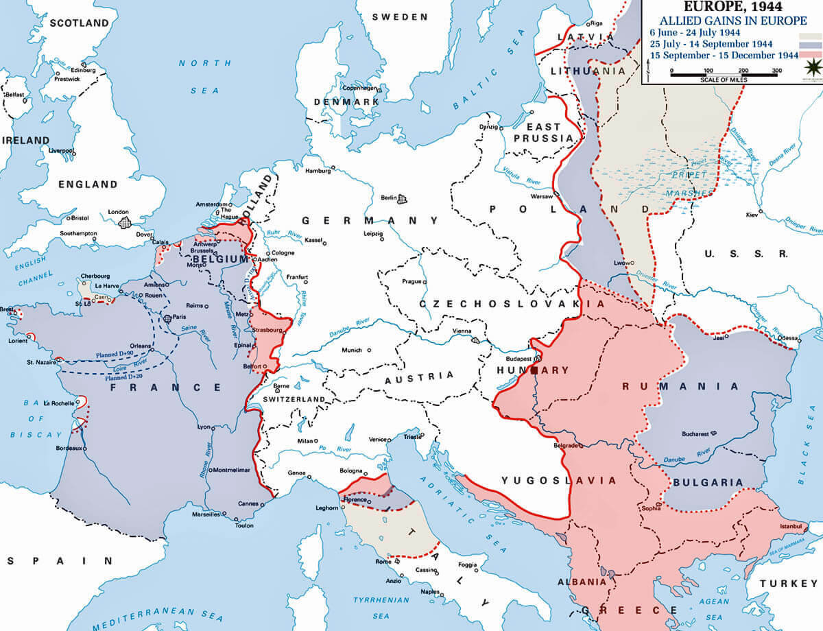 Map of Europe in 1944 showing political boundaries and Allied gains.
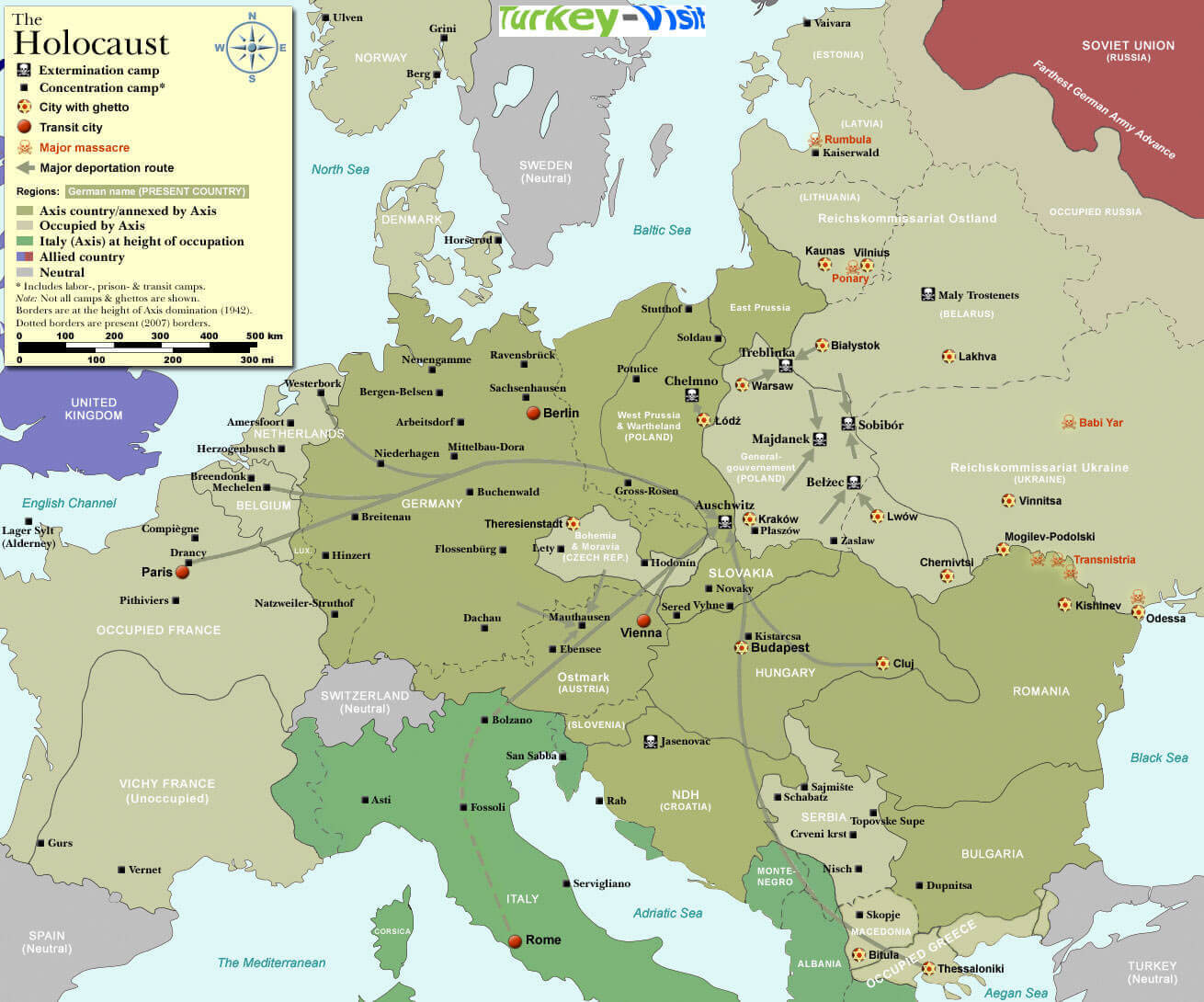
Holocaust Map of Europe During World War II
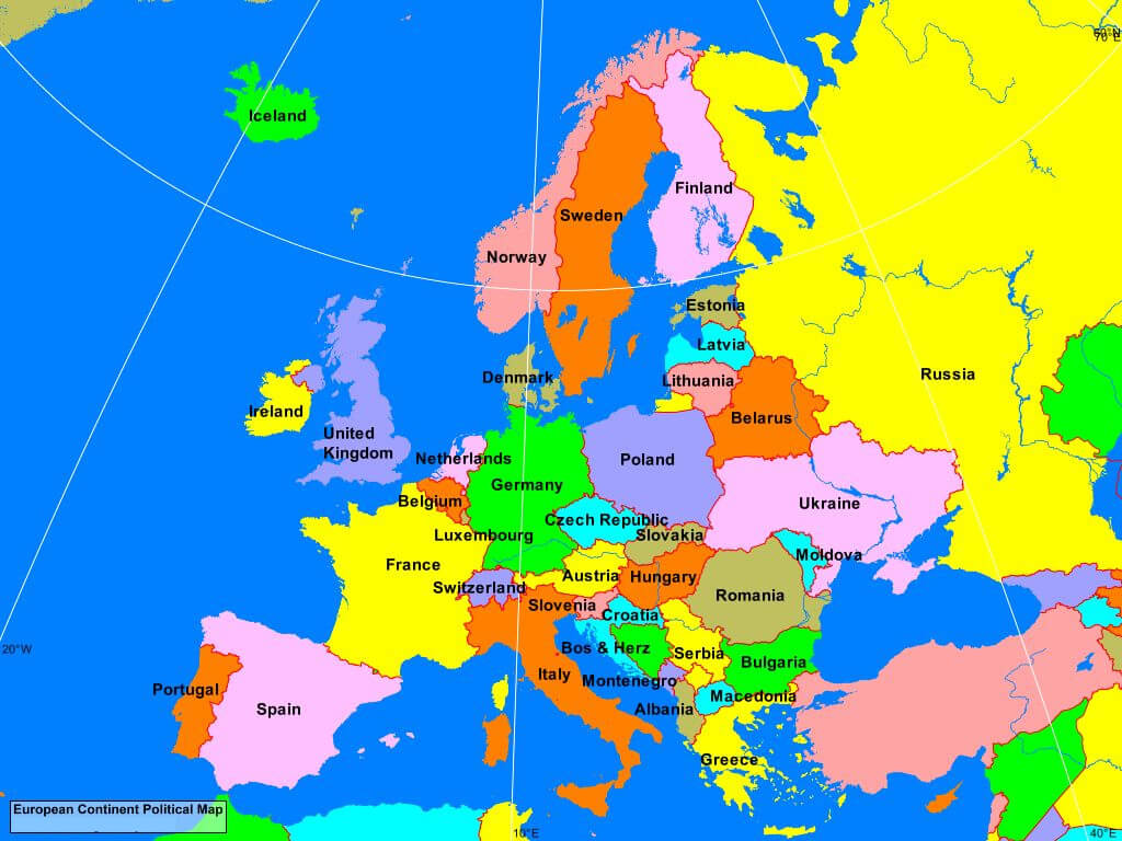
Europe countries with political map
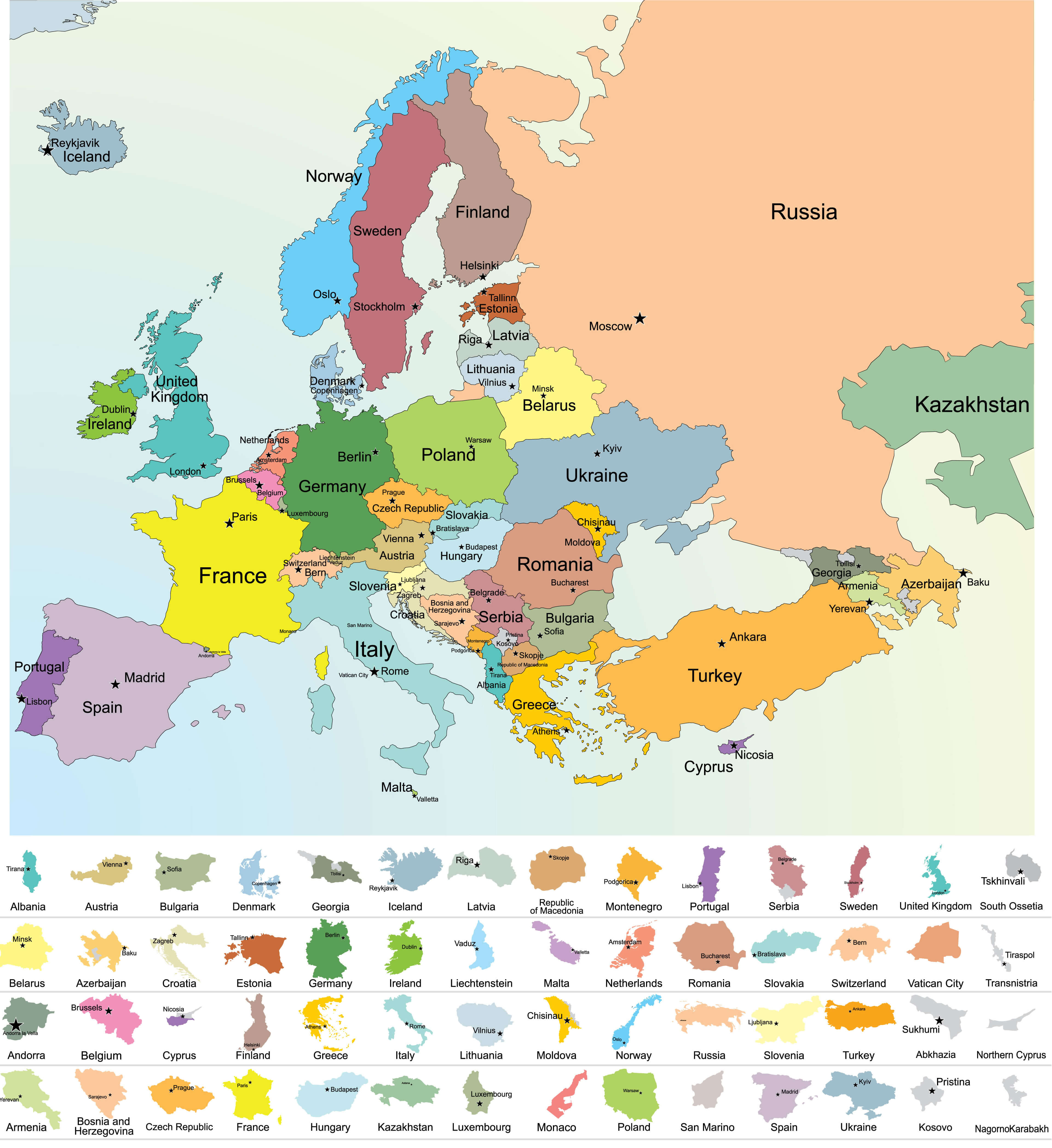
European countries political map with UK
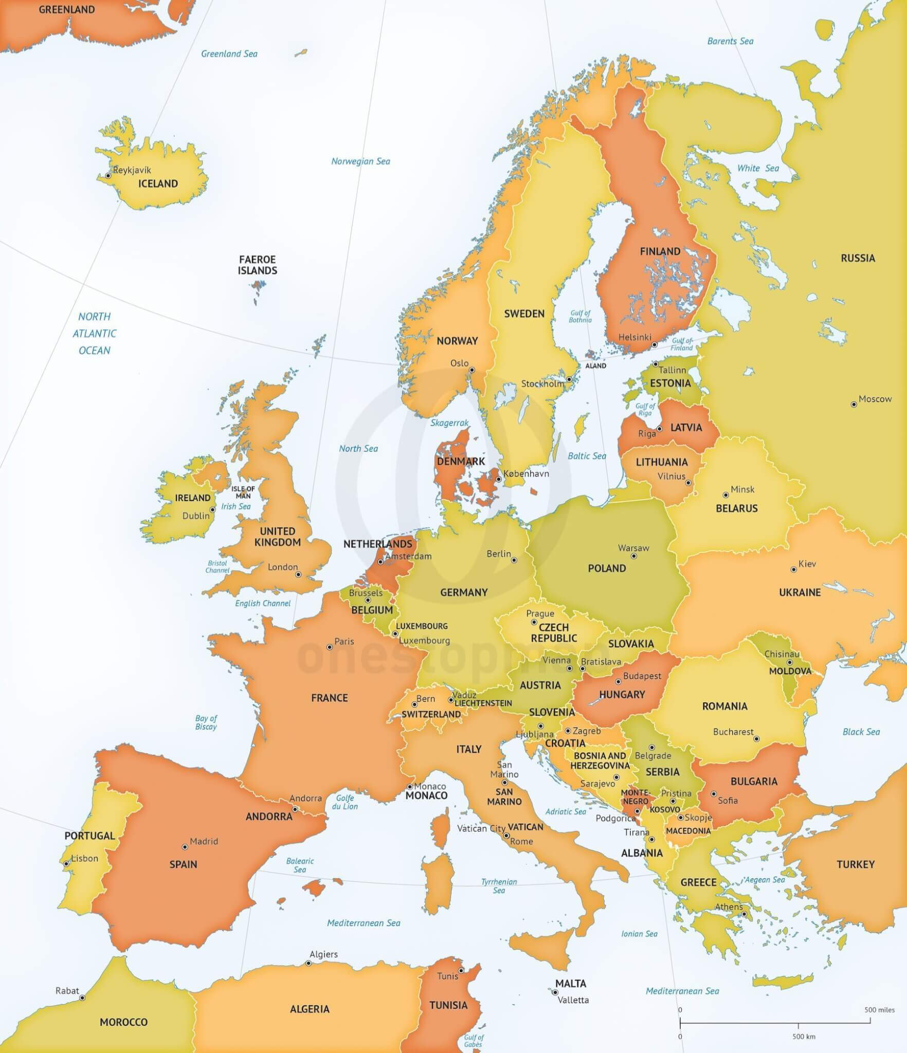
Europe continent political map
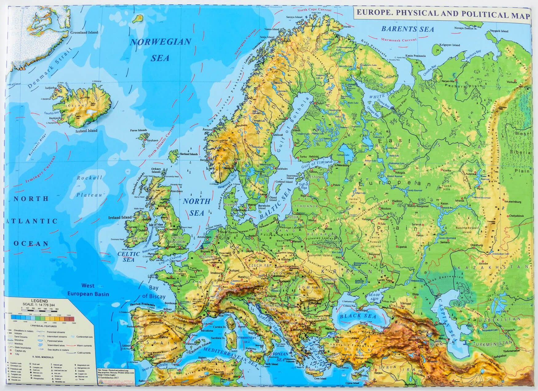
Europe physical and political map
Political Map of Europe (1871–1914)
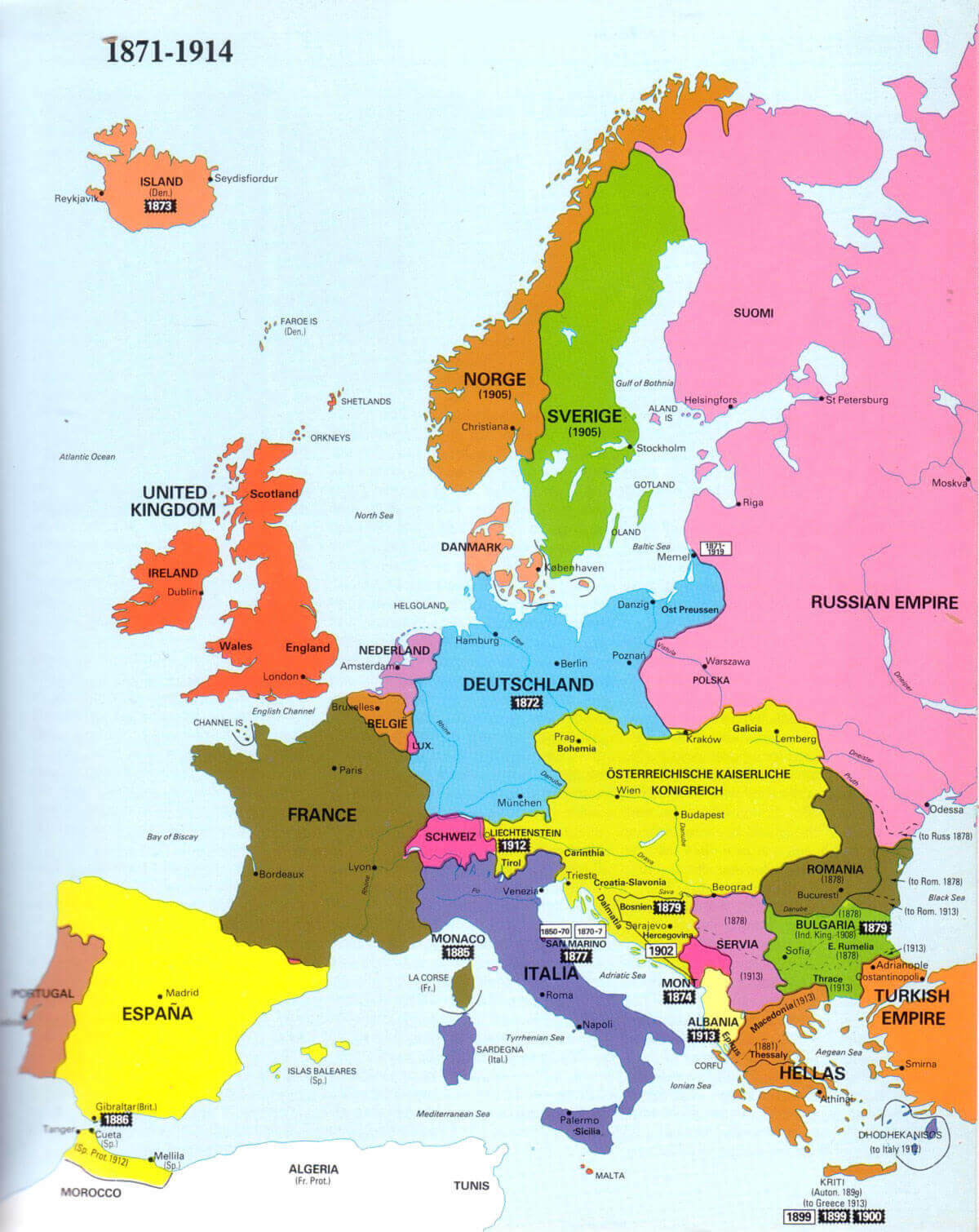 Historical political map of Europe between 1871 and 1914.
Political Map of Europe in 1500
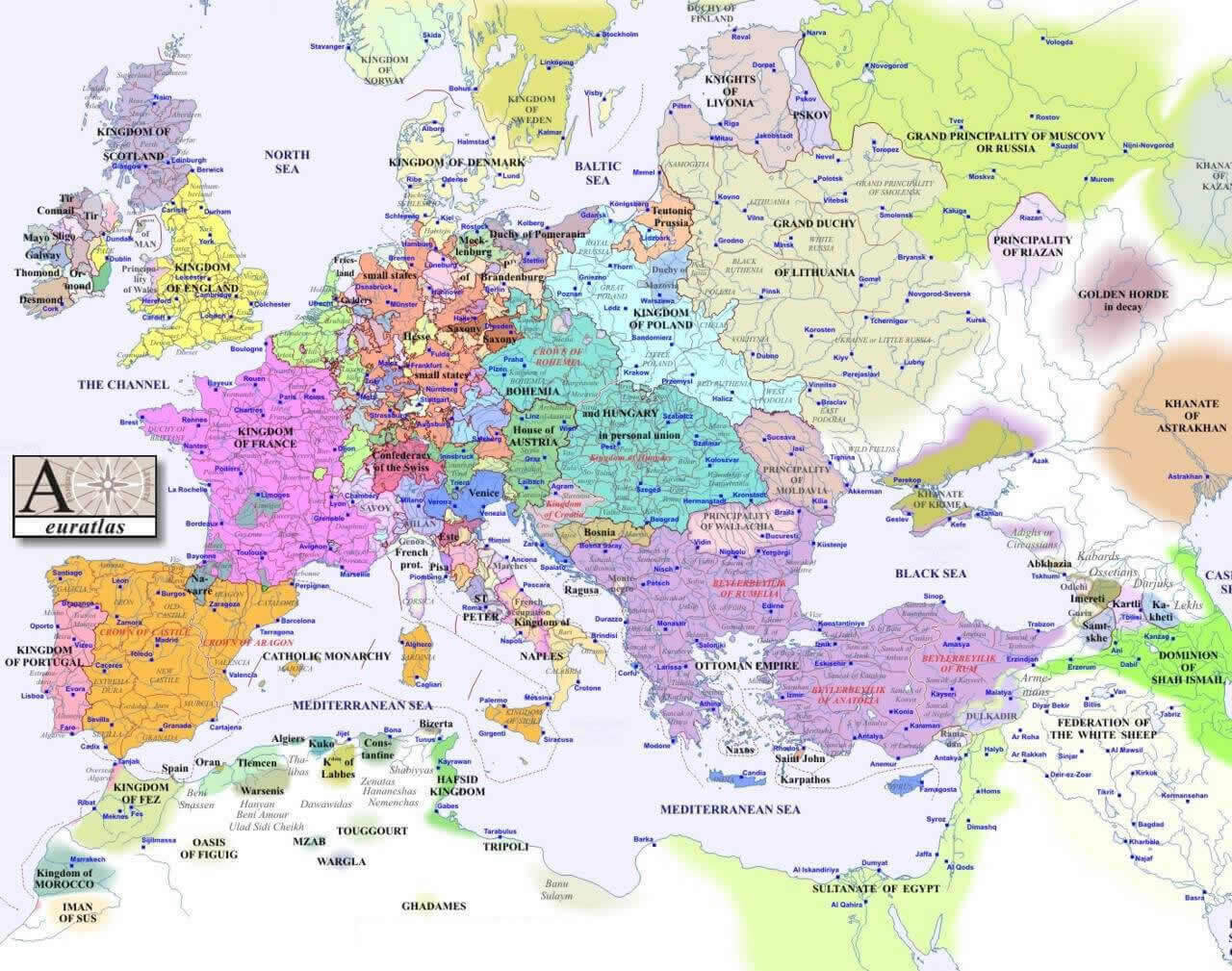 Historical political map of Europe in the year 1500.
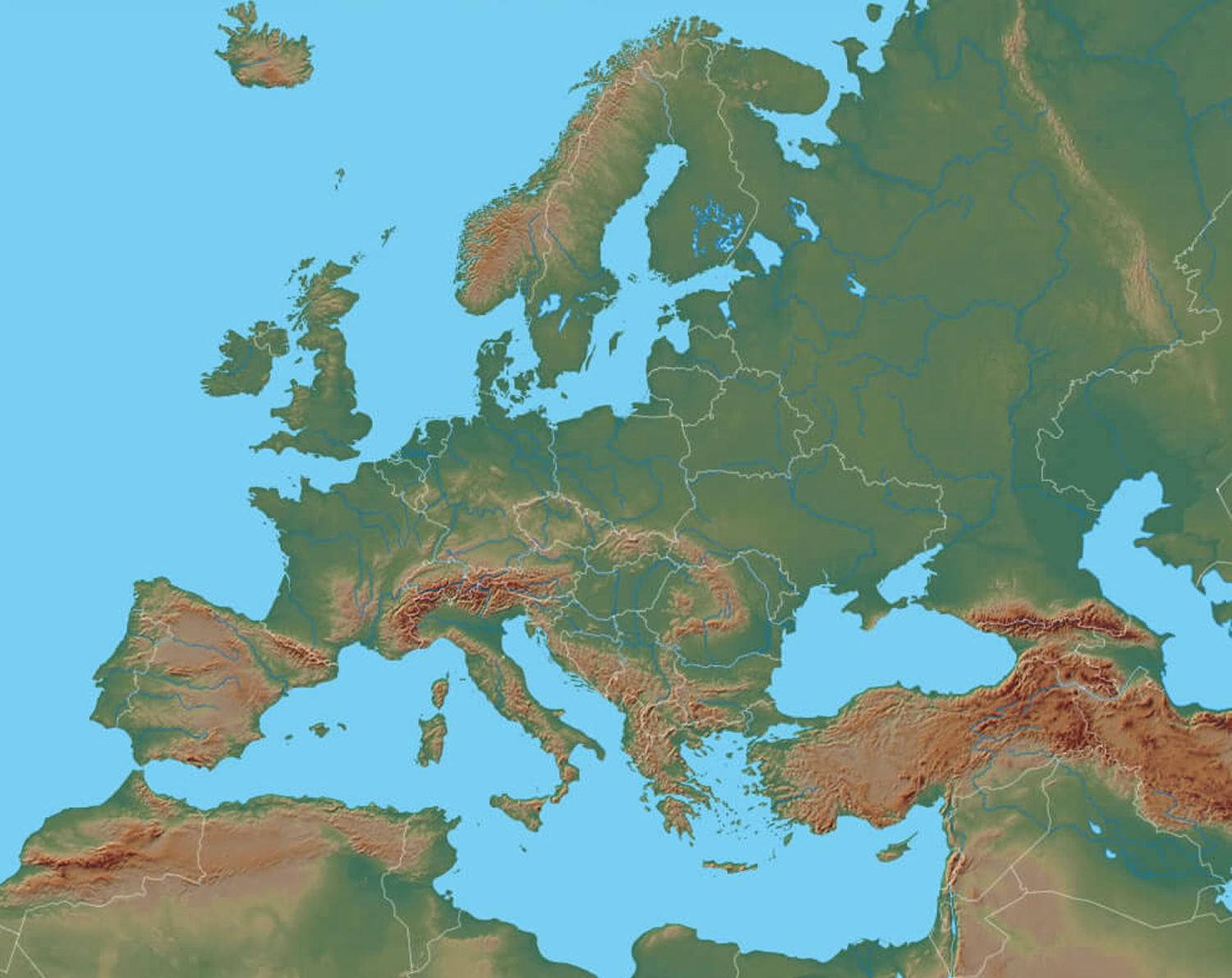
Europe political map with elevation
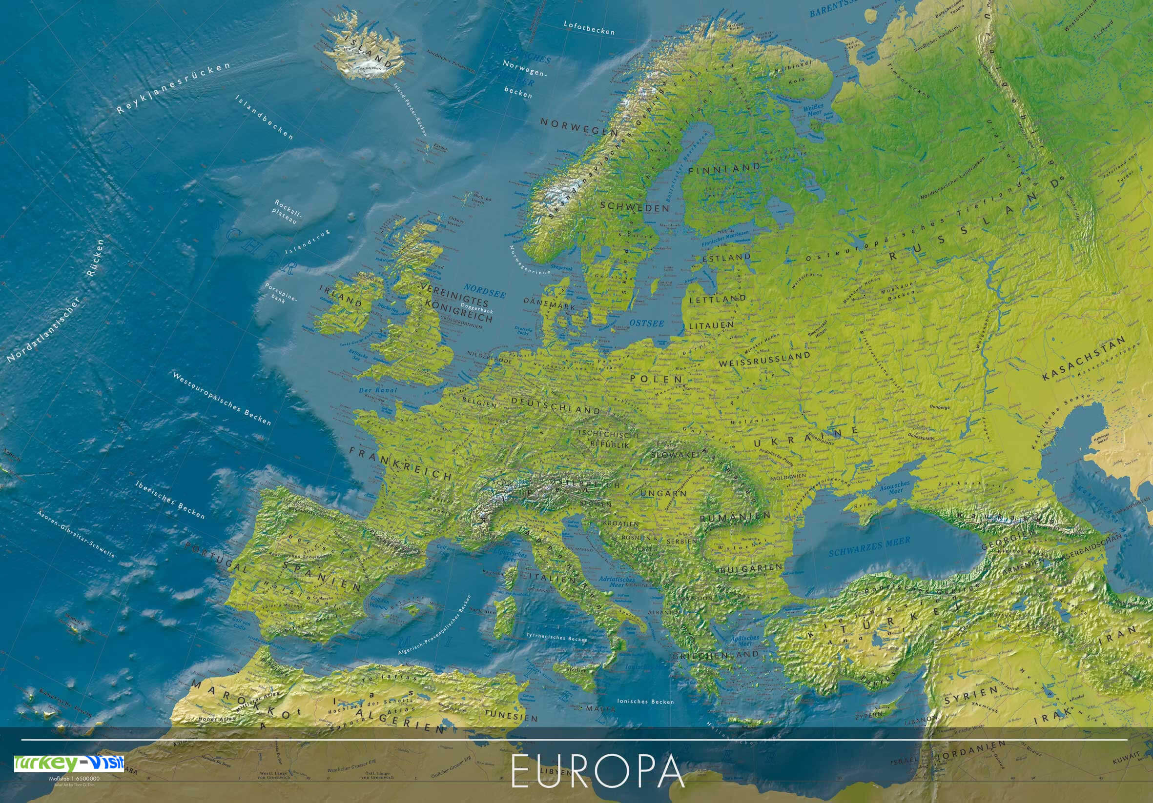
Europe political map with mountains and plains
Europe Political Map Including Russia and Turkey
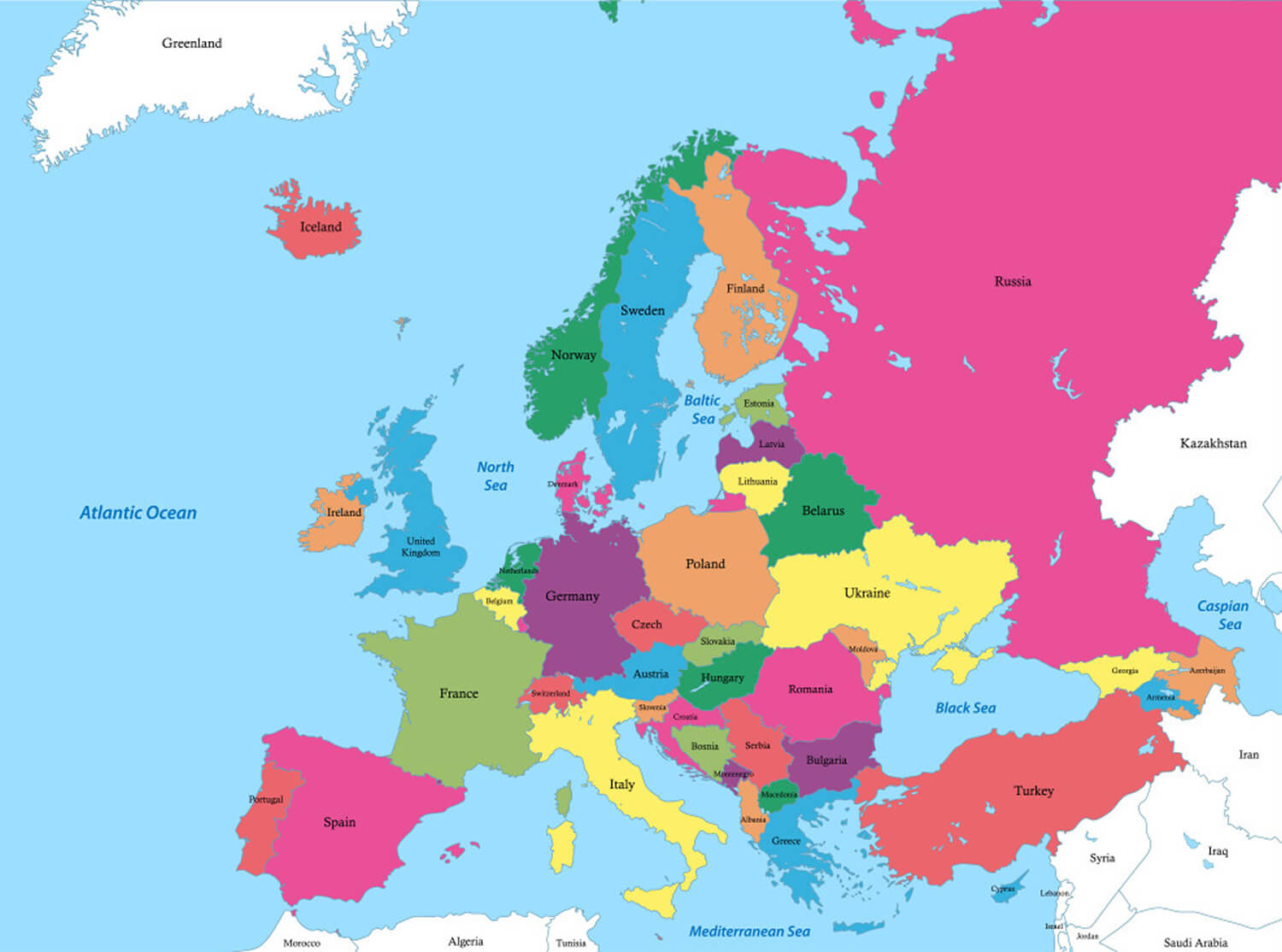 Political map of Europe showing Russia and Turkey.
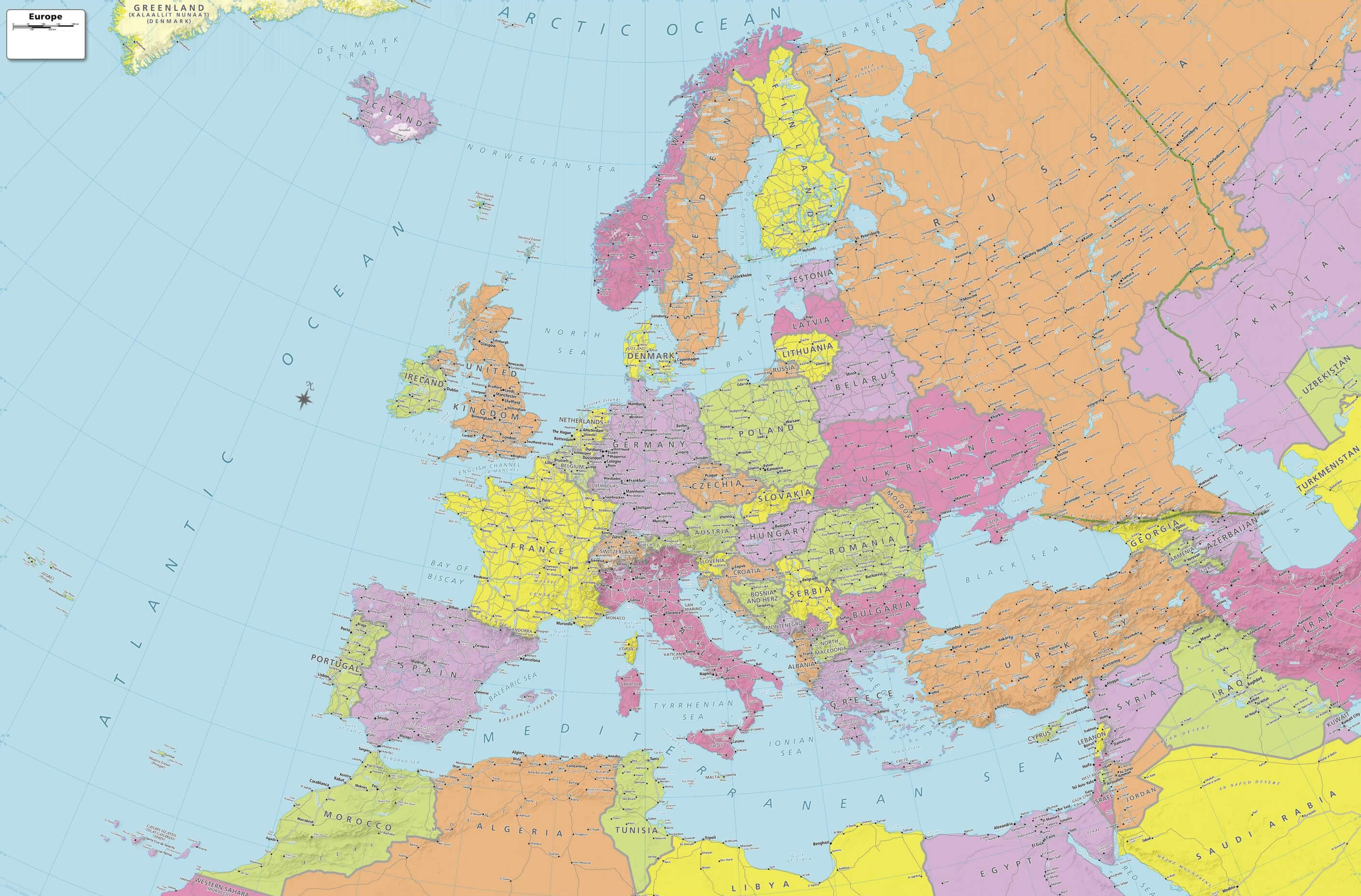
Europe political with African and Asian countries
Northern Europe Political Map Overview
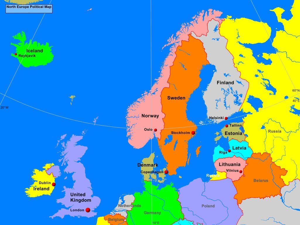 Political map of Northern Europe shows countries and capitals.
Political Map of Europe with Key Regions
 Political map of Europe highlighting countries and major cities.
Blank Europe Map
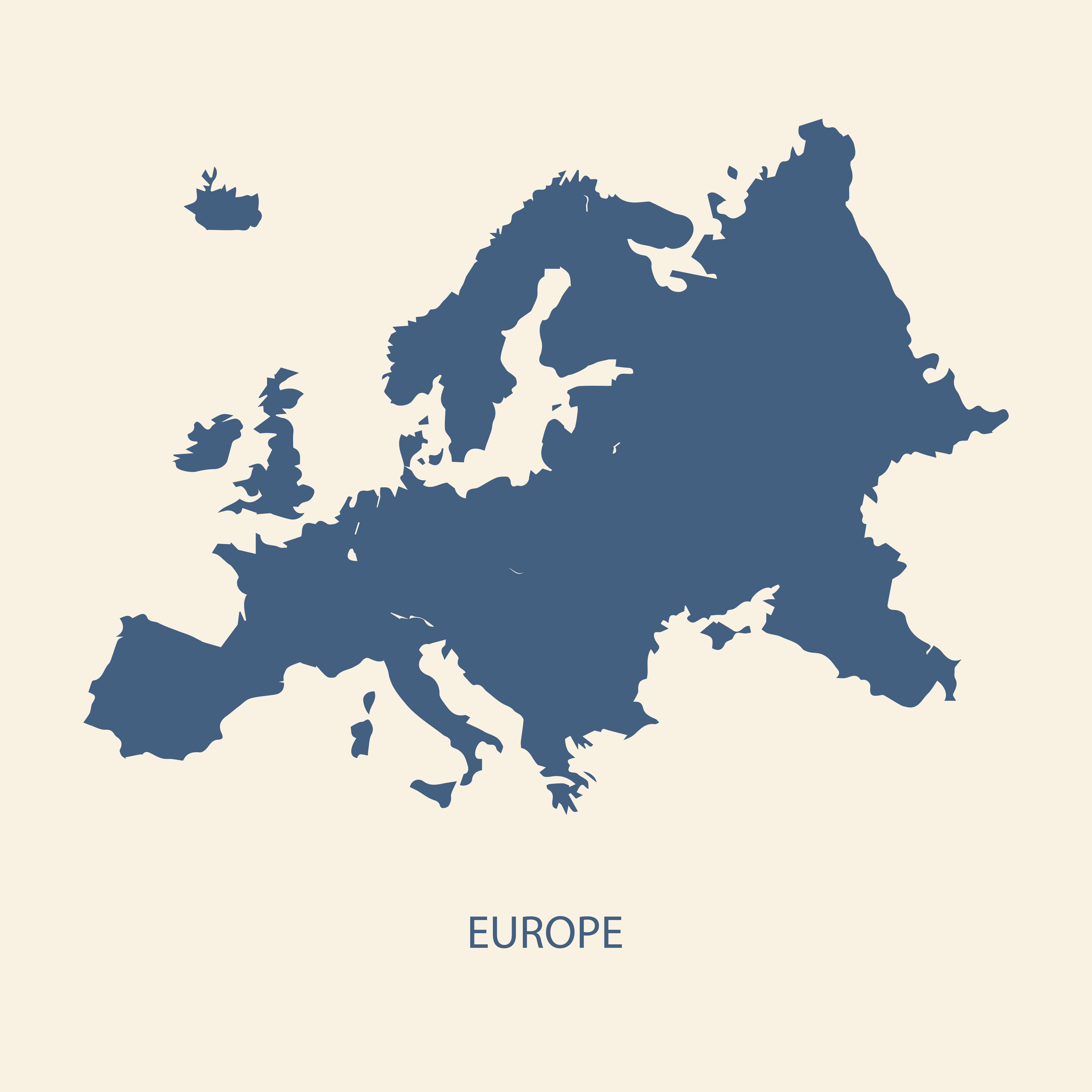
Where is located Europe in the World
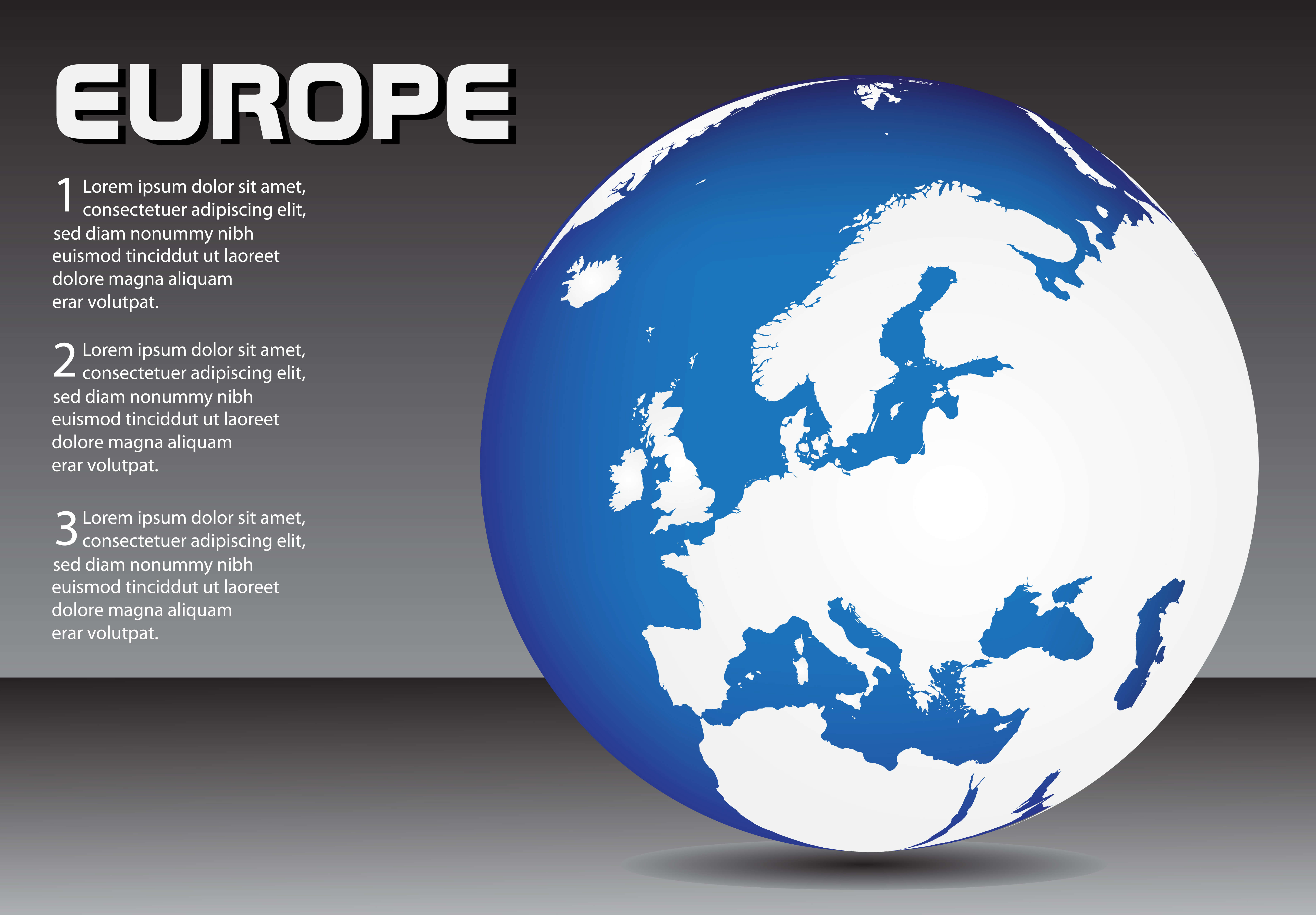
Where is Europe on the World Map?
Show Google Interactive Maps and satellite maps of where the country is located.
Get directions by driving, walking, bicycling, public transportation and travel with street view.
Feel free to explore these pages as well:
- Muslim Population Map in Europe by Country ↗️
- Europe Map ↗️
- Map of Europe ↗️
- A Collection of Europe Maps ↗️
- Europe Countries Map ↗️
- Europe High-resolution Map ↗️
- Europe Cities Map ↗️
- Europe Physical Map ↗️
- Europe Political Map ↗️
- Europe Population Map ↗️
- Europe Road Map ↗️
- Europe Religion Map ↗️
- Europe Satellite Map ↗️
- Europe Historical Map ↗️
- Europe Topography Map ↗️
- Europe Time Zone Map ↗️
- Muslim Population Map in Europe by Country ↗️
- France Map ↗️
- Map of Spain ↗️
- Italy Map ↗️
- Ireland Map ↗️
- United Kingdom Map ↗️
- Germany Map ↗️
- Switzerland Map ↗️
- Advertisement -
