Explore a comprehensive collection of maps of Norway, including physical, political, and relief maps. You’ll find detailed satellite images, blank maps, and various topographical and regional maps that cover Norway’s cities, roads, rivers, and national borders. Whether you’re looking for directions or an atlas for deeper exploration, this collection provides a variety of maps to help you understand the geography of Norway and its surrounding regions. Perfect for travelers, students, or anyone interested in Norway’s landscape!.
Map of Norway
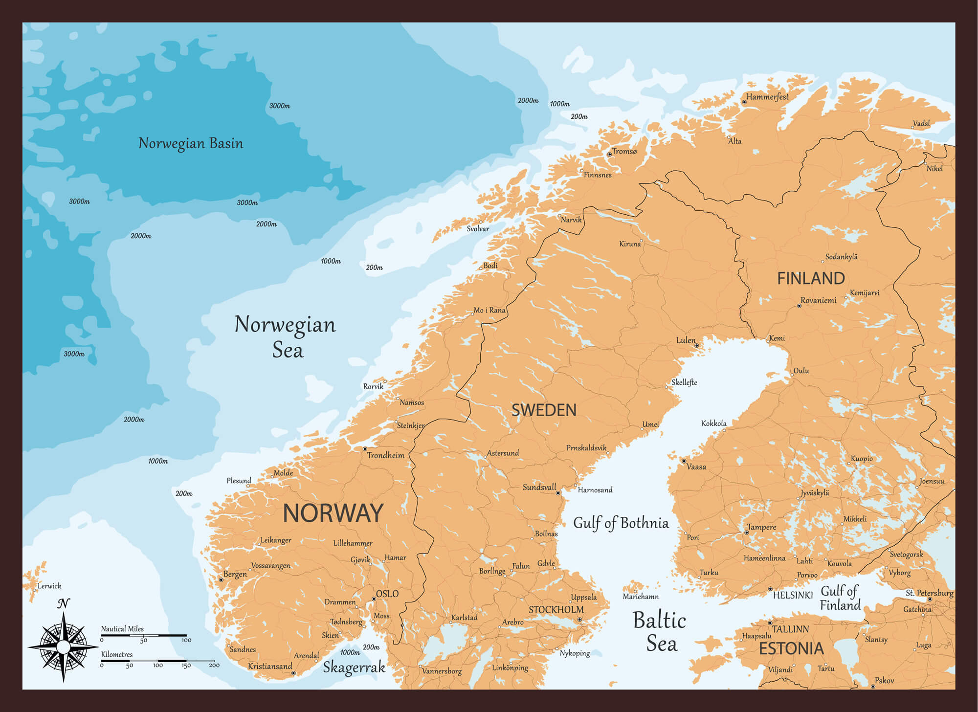
Norway Europa Detailed Map
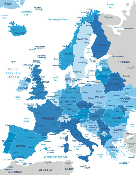
Norway Europa highly detailed map. All elements are separated in editable layers clearly labeled.
Norway Map with Main Cities
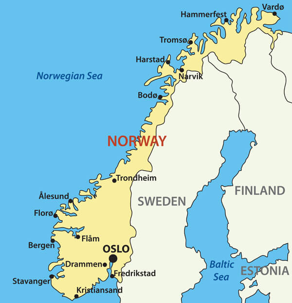
Norway Map with Main Cities, Sweden, Finland and Estonia national borders.
Norway Administrative Map
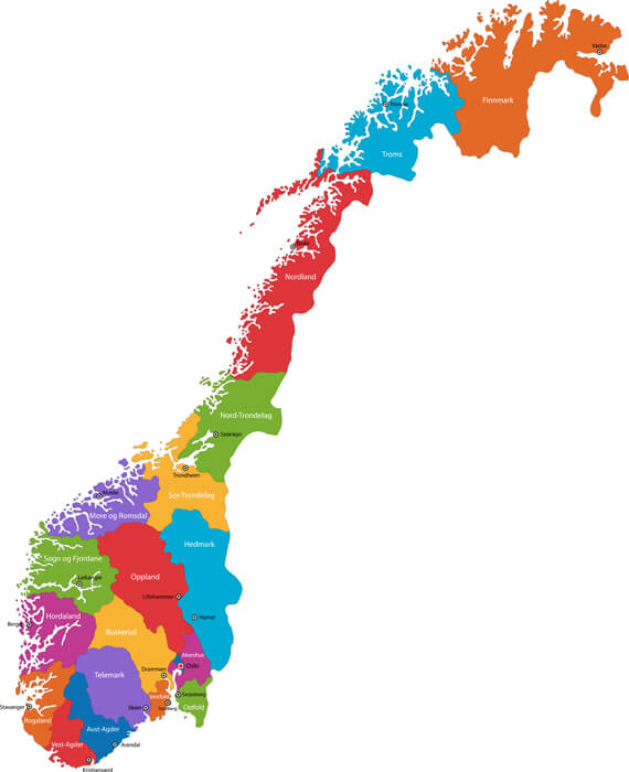
Map of administrative divisions of Norway with the capital cities.
Norway Regions Map
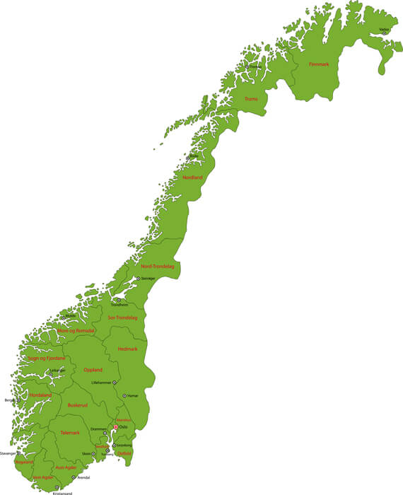
Map of administrative and regional divisions of Norway.
Administrative Map of Norway
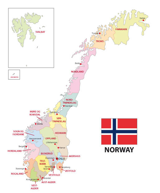
Norway administrative map with major cities.
Where is Norway on the Europe Map?
Show Google map, satellite map, where is the country located.
Get directions by driving, walking, bicycling, public transportation and travel with street view.
Feel free to explore these pages as well:
- Norway ↗️
- Norway Map ↗️
- Map of Norway↗️
- Map of Sweden ↗️
- Sweden Map ↗️
- Ultimate Guide to Stockholm’s 10 Must-Visit Attractions ↗️
- Aland Islands Map ↗️
- Finland ↗️
- Map of Finland ↗️
- Finland Map ↗️
