- Advertisement -
A Collection of Michigan Photos
Michigan State Capitol
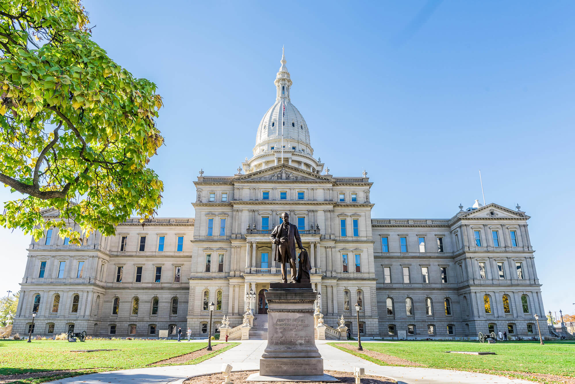
The Michigan State Capitol is the building that houses the legislative branch of the government of the U.S. state of Michigan
Grand Rapids, Michigan
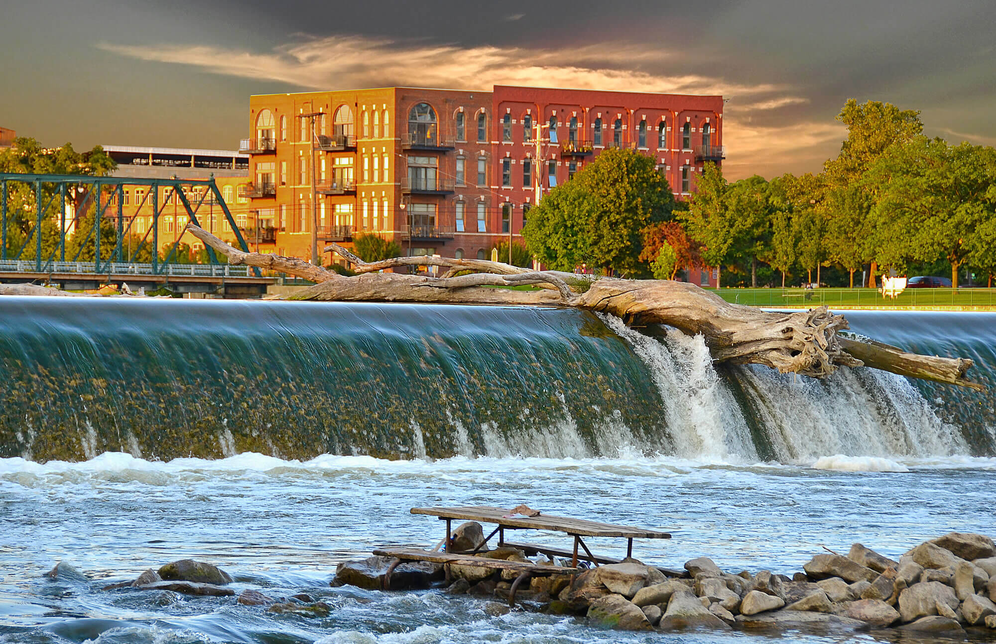
Driftwood log on top of dam on the Grand river in grand rapids, michigan
Detroit River Sunset, Michigan
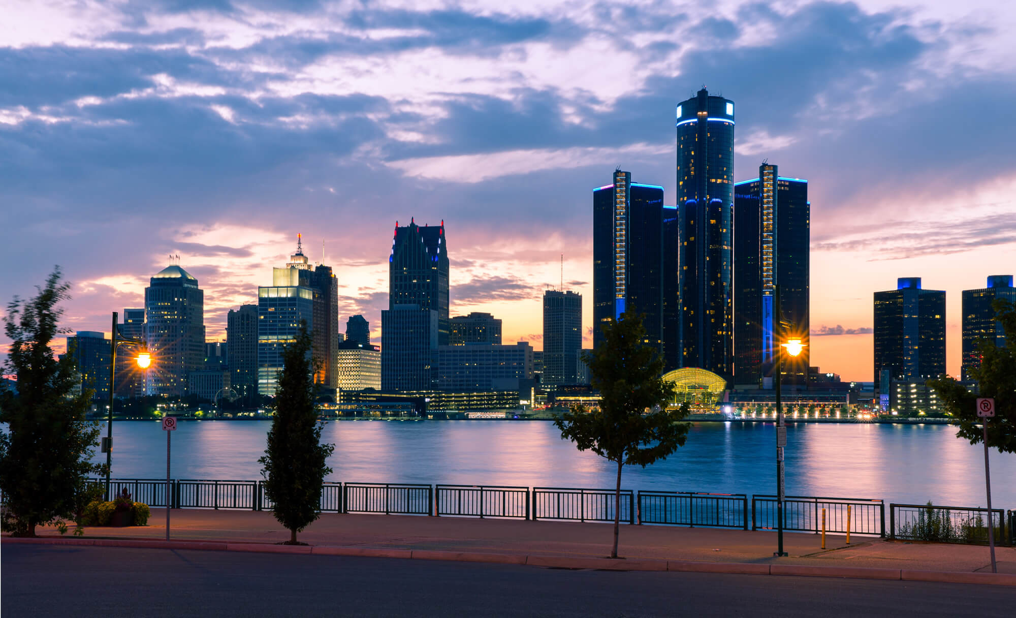
Detroit River Sunset, Michigan, United States of America.
Crisp Point Lighthouse, Michigan
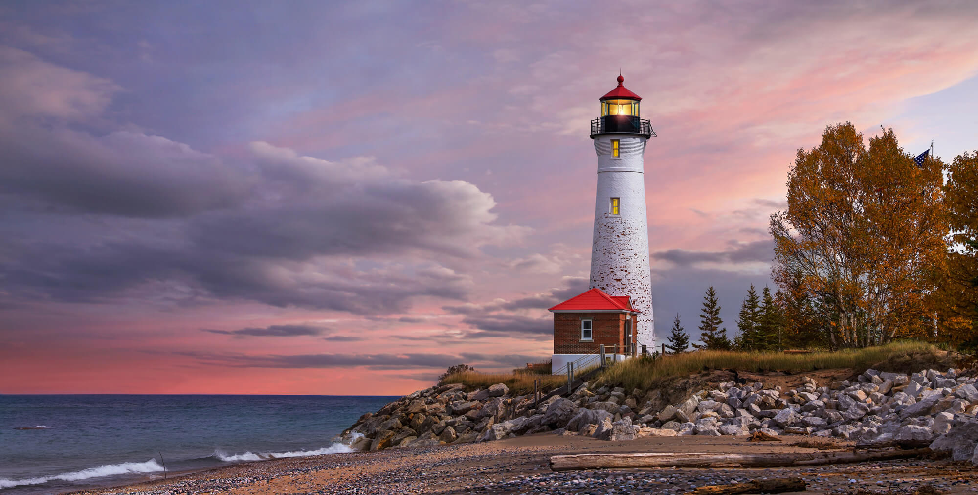
As daylight begins yielding to twilight, The Crisp Point Lighthouse at sunset on Lake Superior, Upper Peninsula, Michigan, USA – A one hour drive from Tahquamenon Falls, mostly dirt roads
Downtown Traverse Michigan
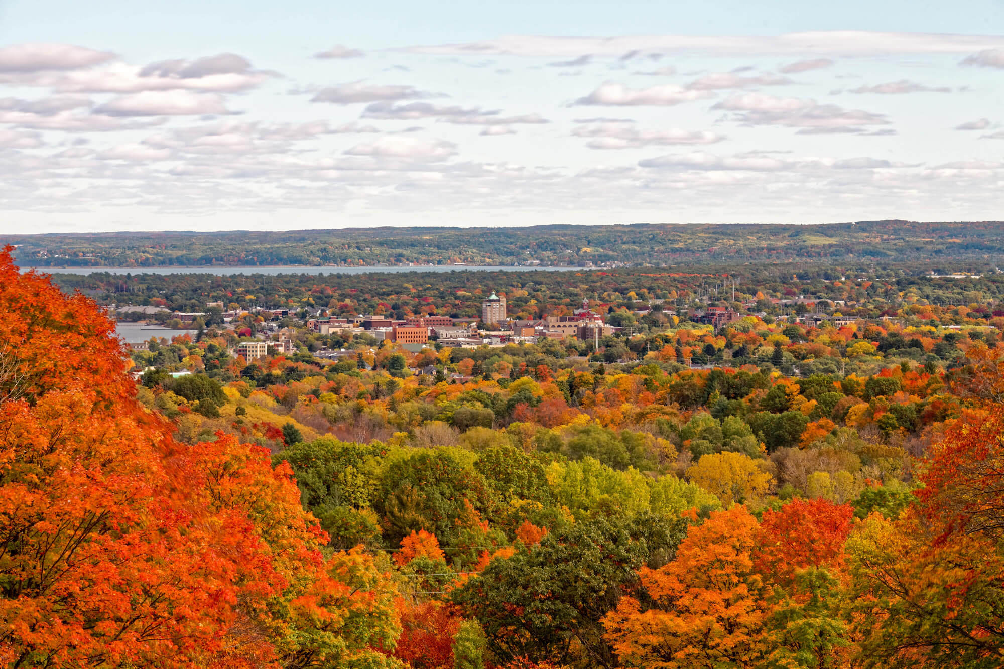
Downtown Traverse City Michigan, US.
Where is Located Michigan on the US Map?
Show Google interactive map, satellite map, where is the country located.
Get directions by driving, walking, bicycling, public transportation, and traveling with street view.
Feel free to explore these pages as well:
- Michigan Map ↗️
- Map of Michigan ↗️
- Michigan Cities Map ↗️
- Michigan on the Edge: 2024 US Election Predictions and the 2020 Turnaround ↗️
- Michigan Photos ↗️
- The US presidential election in Georgia: Predictions for 2024 and a look back at the swing in 2020 ↗️
- Arizona’s US Presidential Election: 2024 Predictions and a Look Back at the 2020 Swing ↗️
- Illinois Map ↗️
- Map of Illinois ↗️
- Illinois Photos ↗️
- Top 10 Best Experiences to Maximize Your Chicago Journey ↗️
- Chicago’s Hidden Gems: Exploring the Lesser-Known Sights of the Windy City ↗️
- Kenosha Travel Guide, Kenosha Protests and 4K Aerial View ↗️
- United States Map ↗️
- Map of United States ↗️
- North America Map ↗️
- Map of North America ↗️
- Advertisement -
