- Advertisement -
Discover high-resolution physical maps of the US, perfect for classrooms, planners, and travelers who need clear topography and geographic detail. These shaded-relief and topo maps display mountains, rivers, coastlines, state borders, major cities and capitals, plus inset views of North America, Canada, Mexico, Central America, Alaska and Hawaii—making it easy to study terrain, plan trips, or decorate a wall. Explore, download, or order printable wall maps for accurate, up-to-date geographic reference.
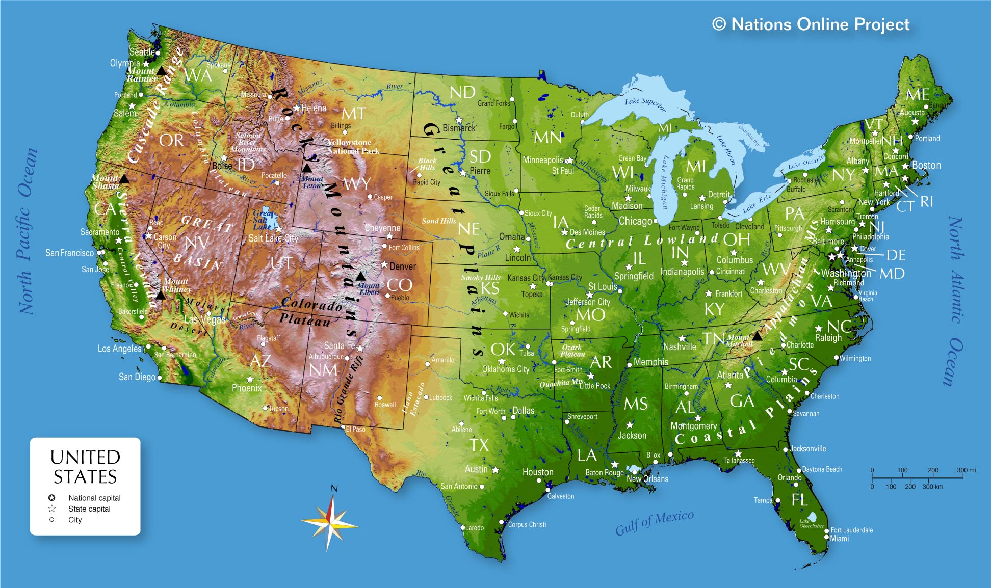
United States physical map with federal and state capitals
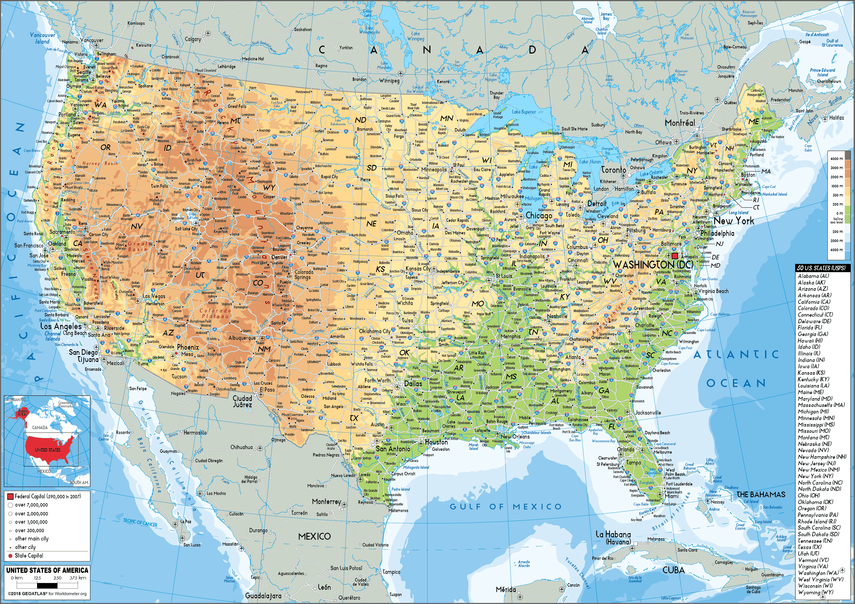 USA physical map showing topography, major cities and federal/state capitals.
US shaded relief wall map
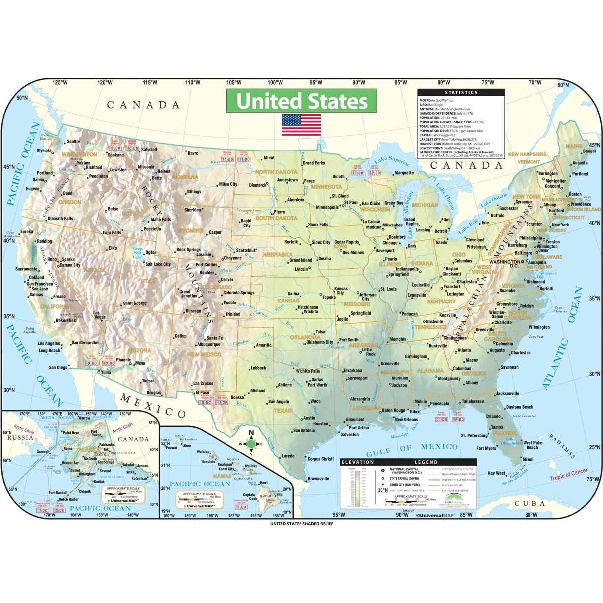 US shaded relief wall map showing topography, cities, and state borders.
Large detailed map of the US
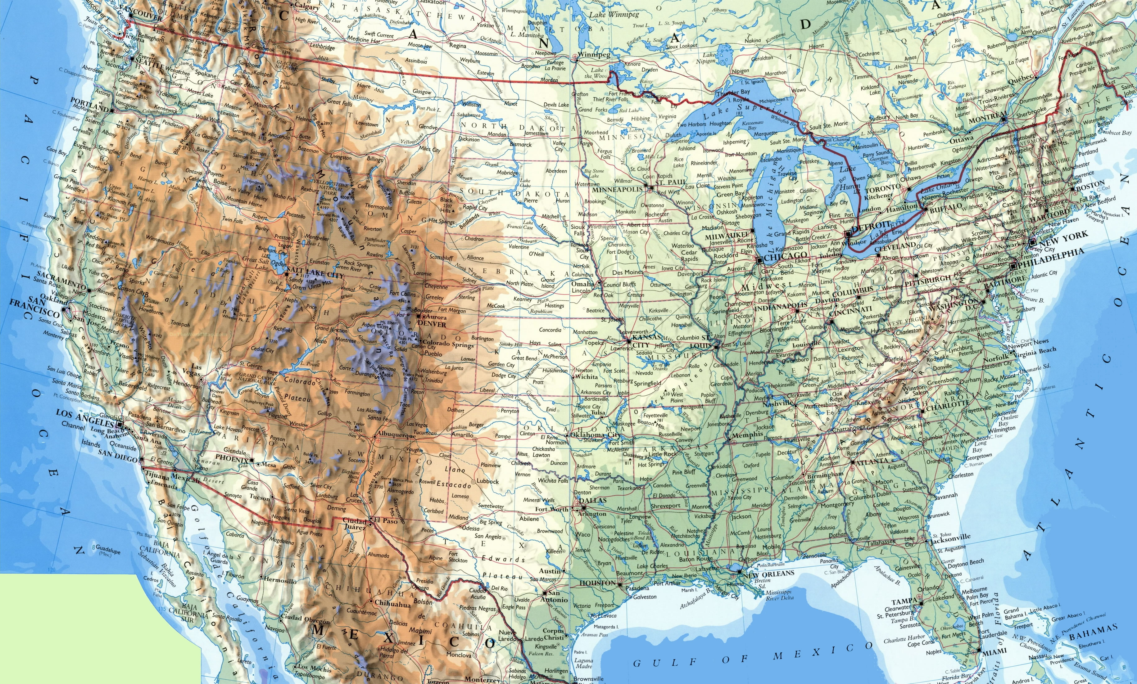
Large physical map of the USA
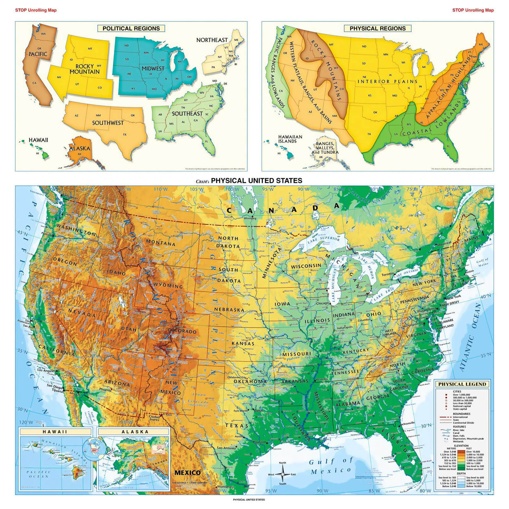
Map of the US geography map
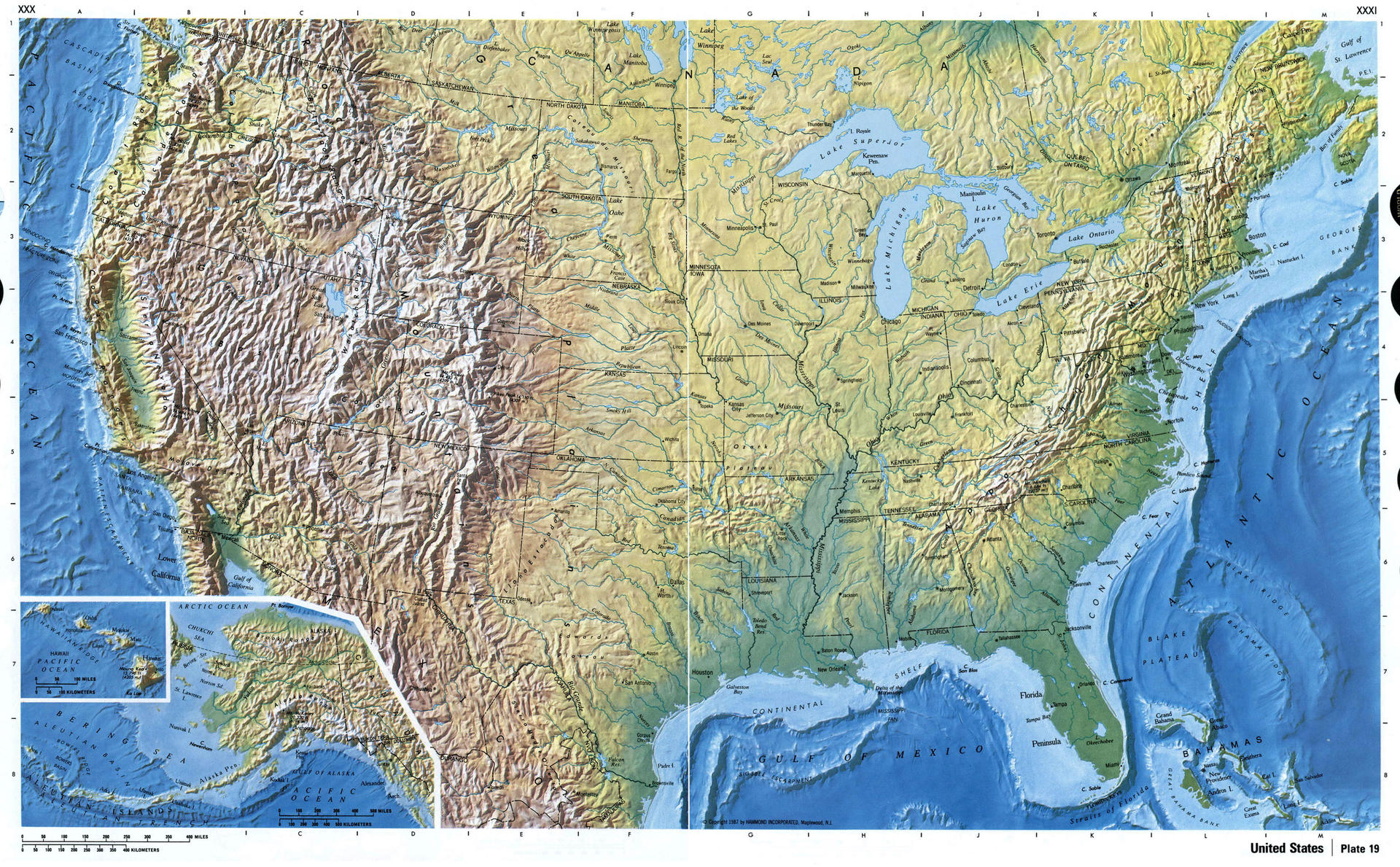
North America and US geological map
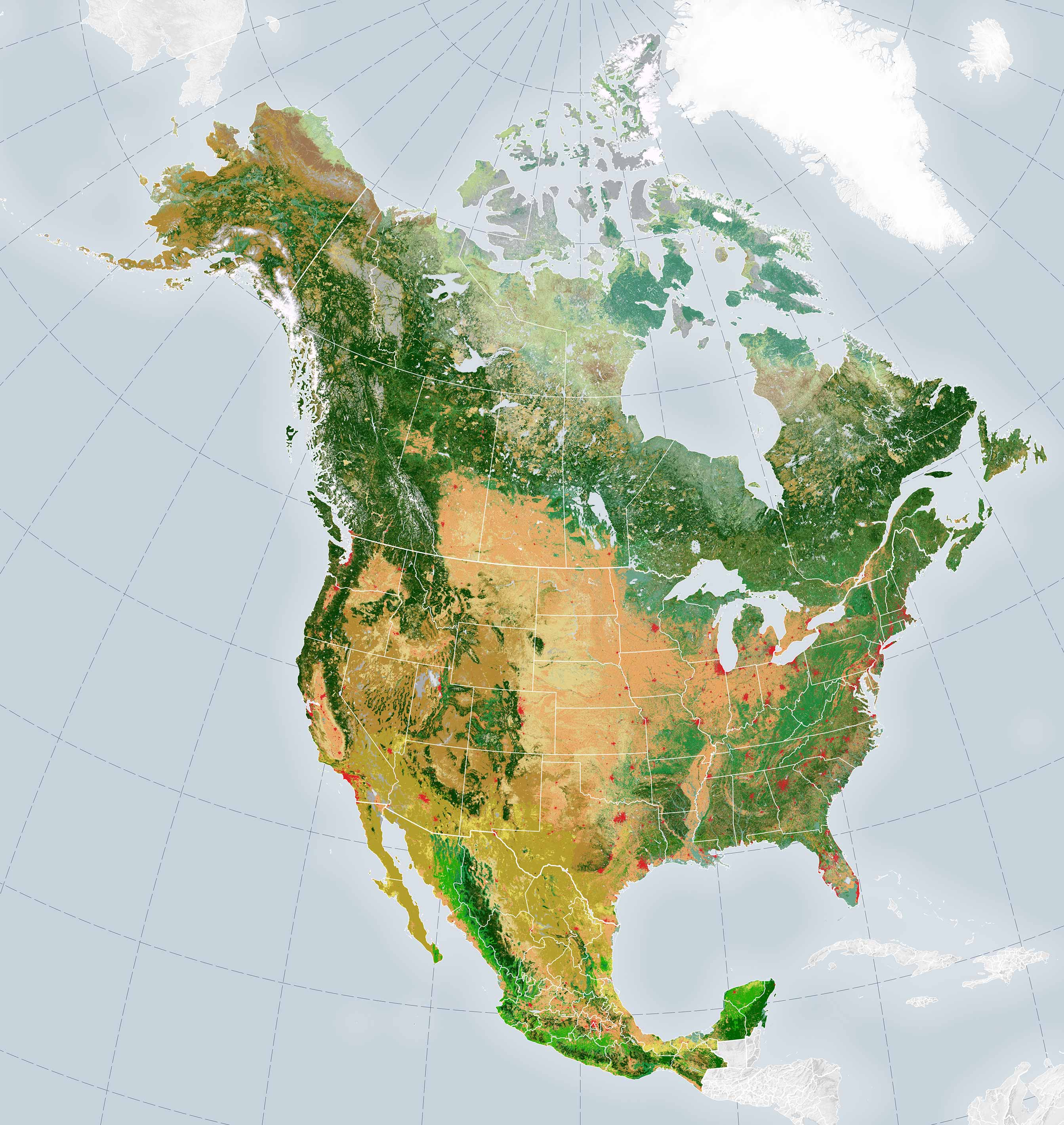
Physical map of North America and US
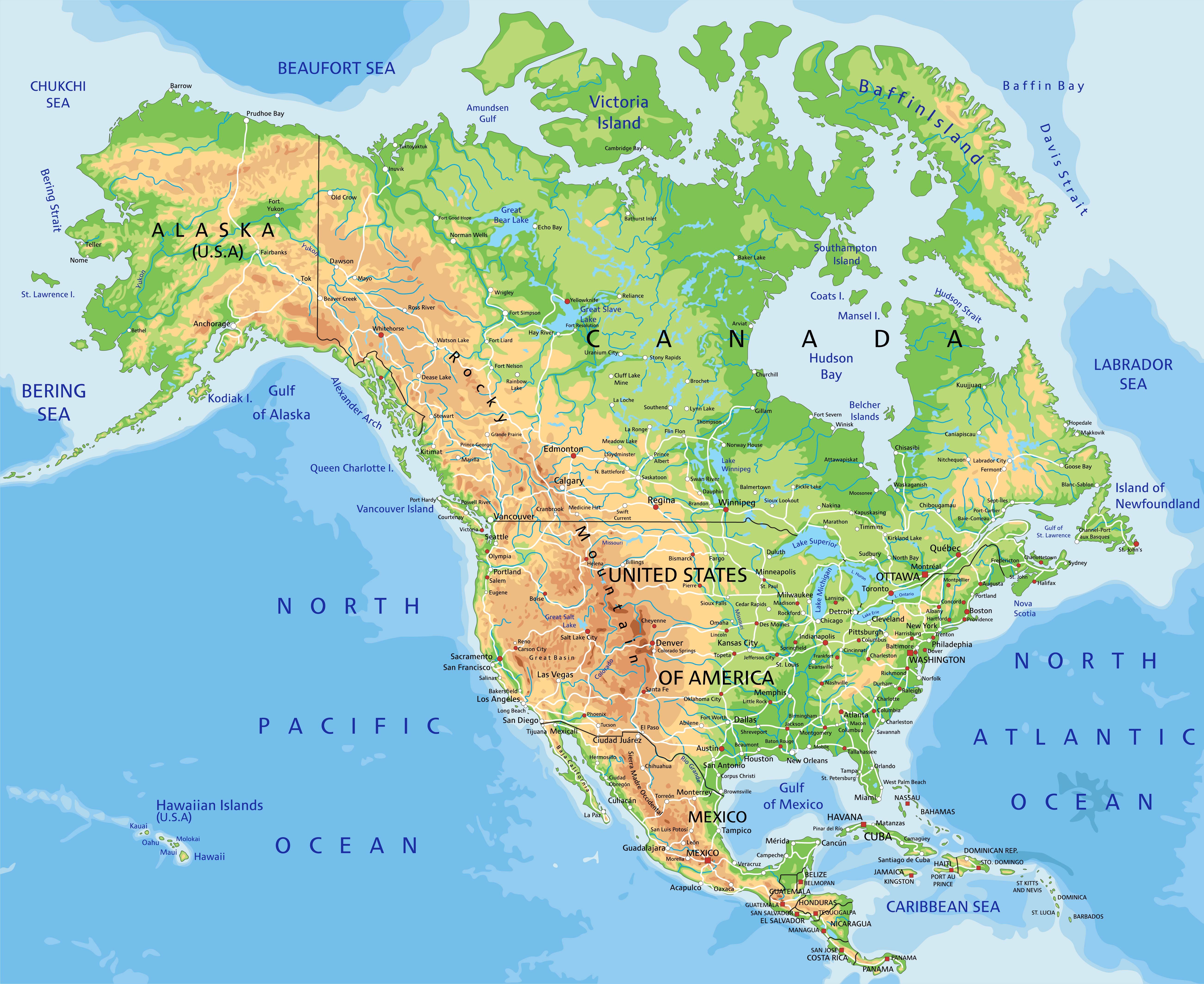
Physical map of the United States of America geography
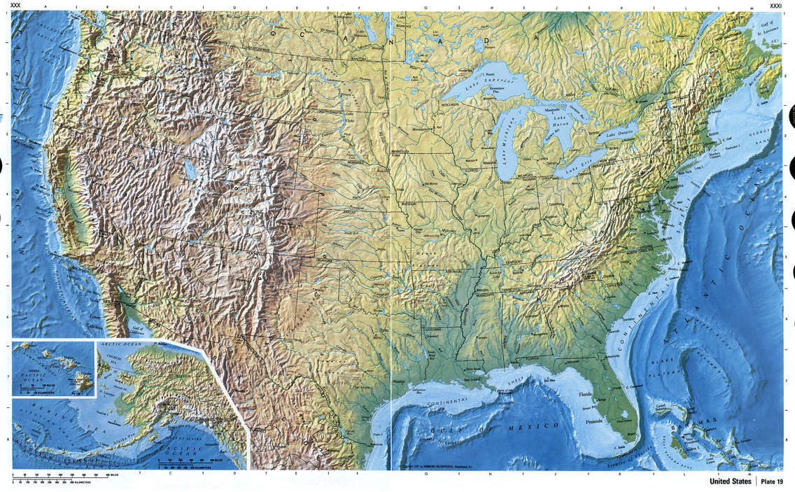
Physical map of the US
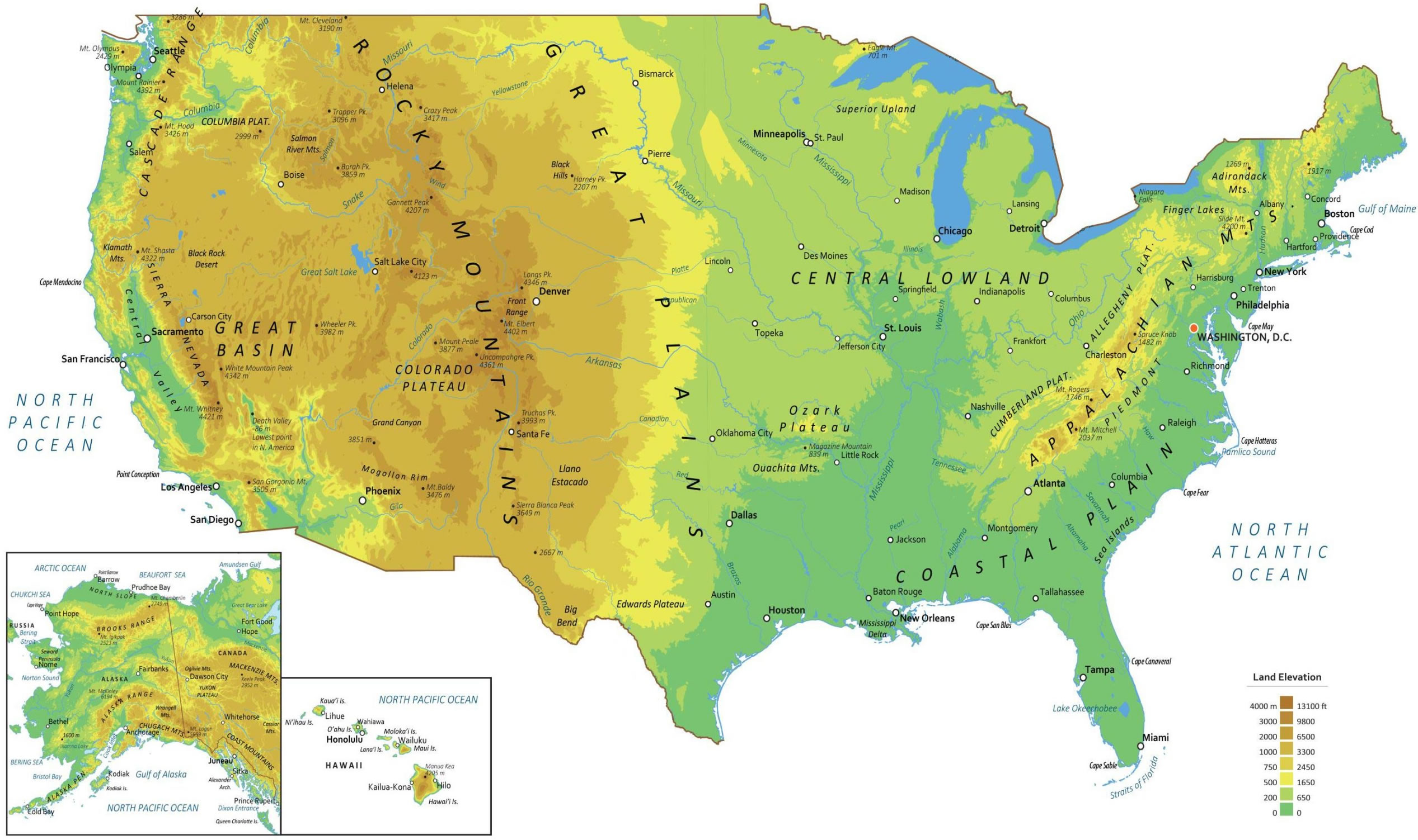
Physical map of United States
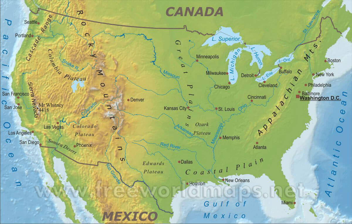
Physical map of USA
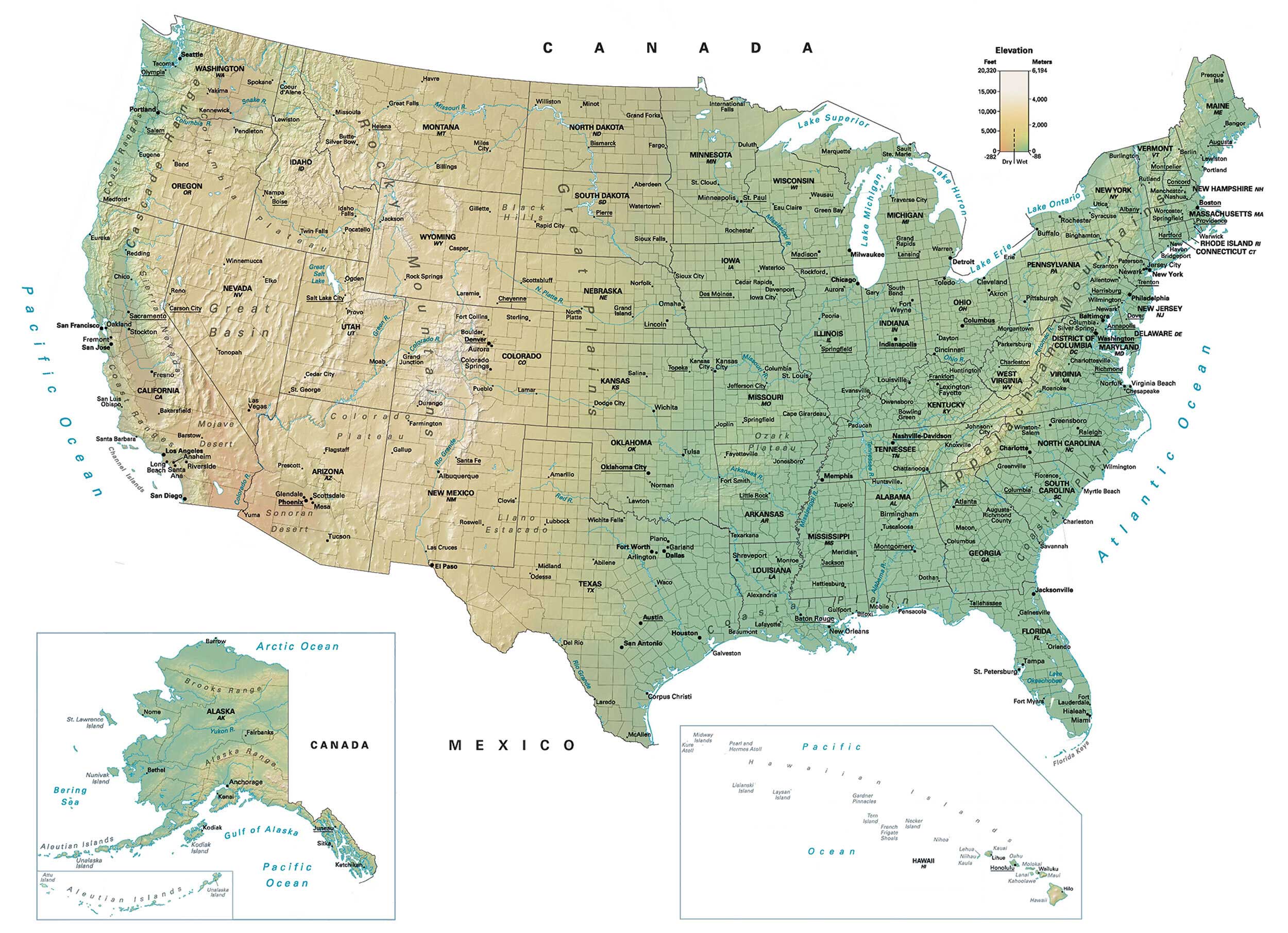
Physical maps of the USA
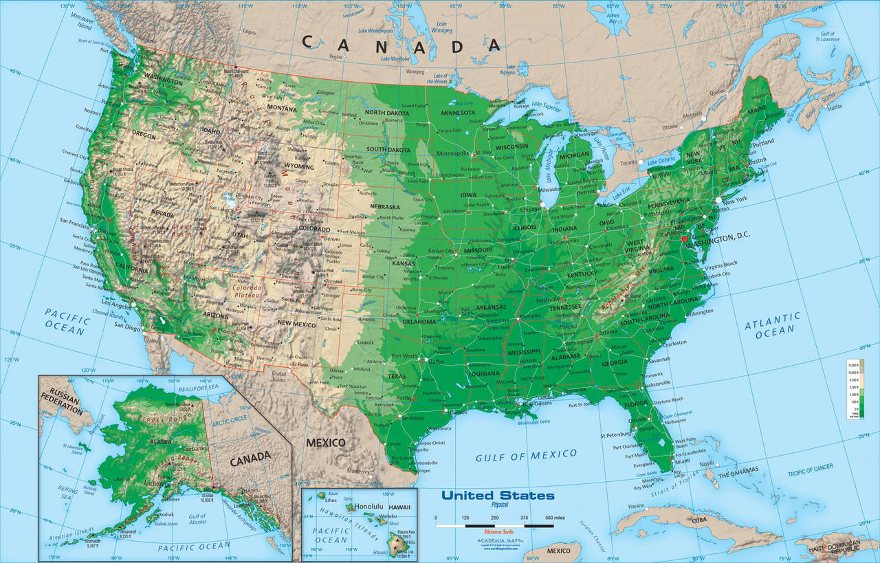
Physical US map
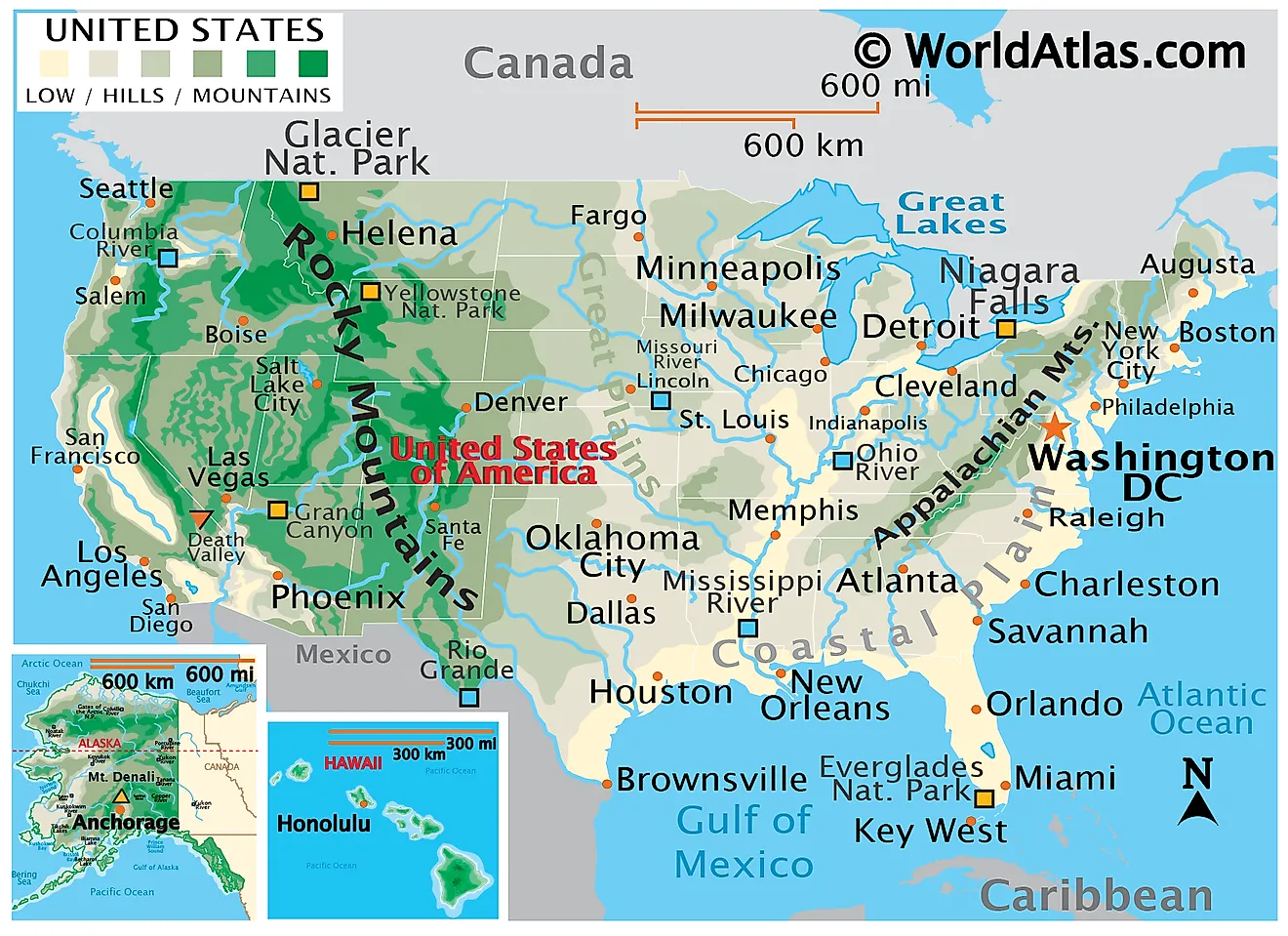
The US physical national geography map
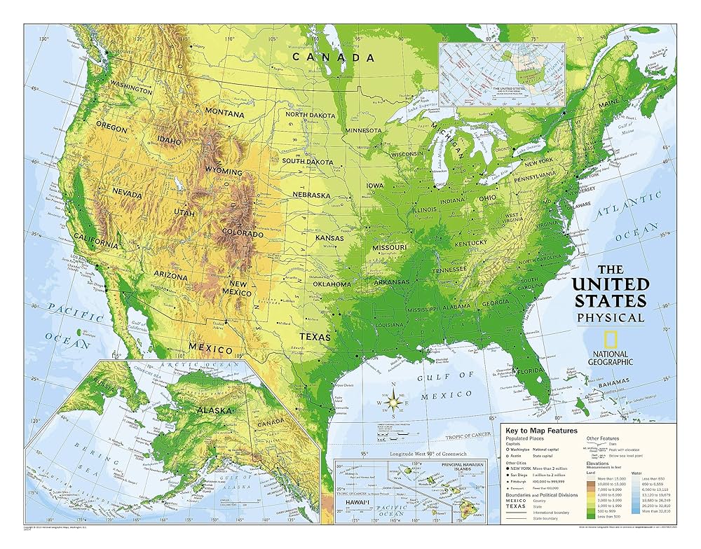
The World and US physical map
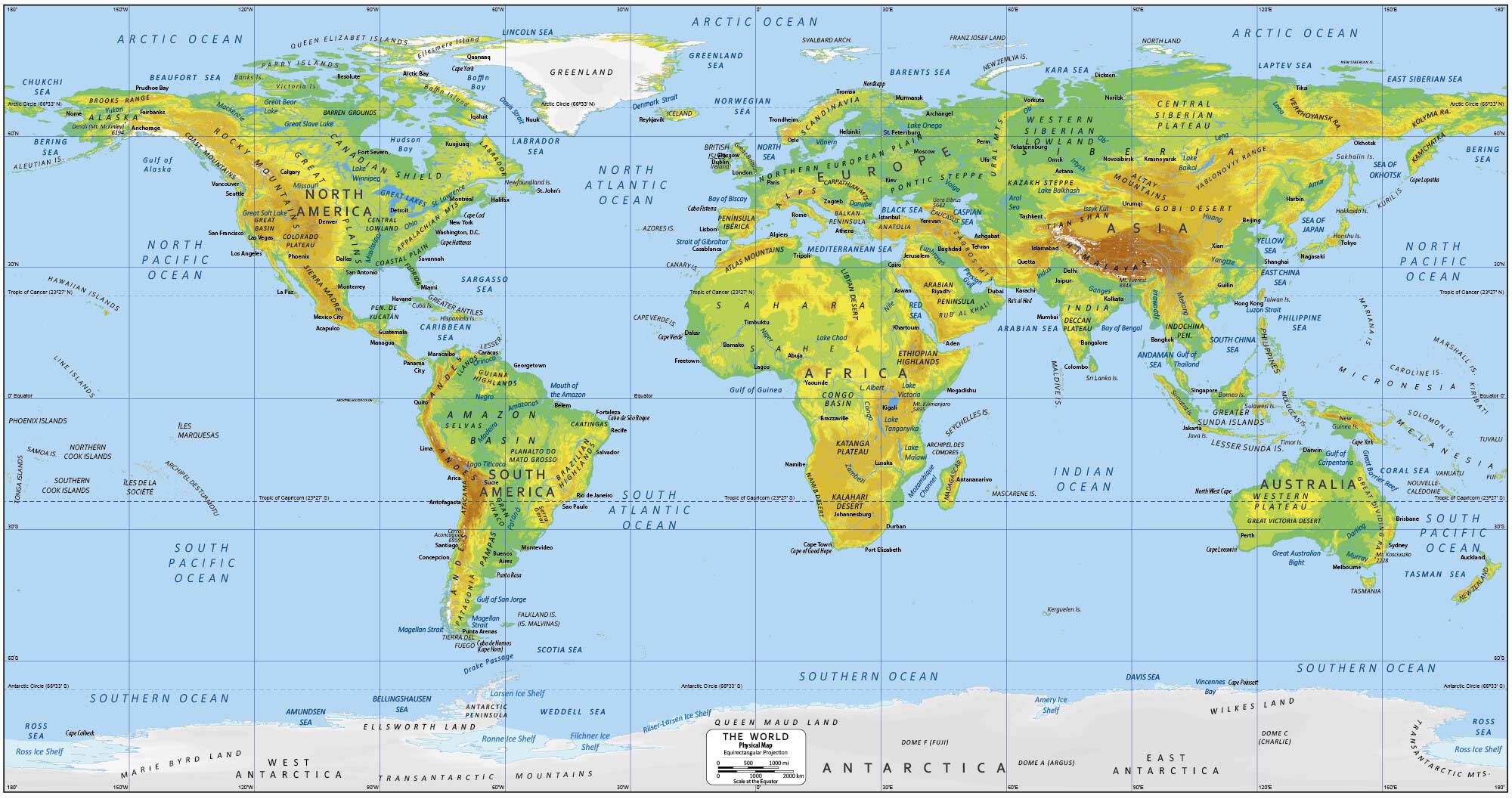
United States of America physical map
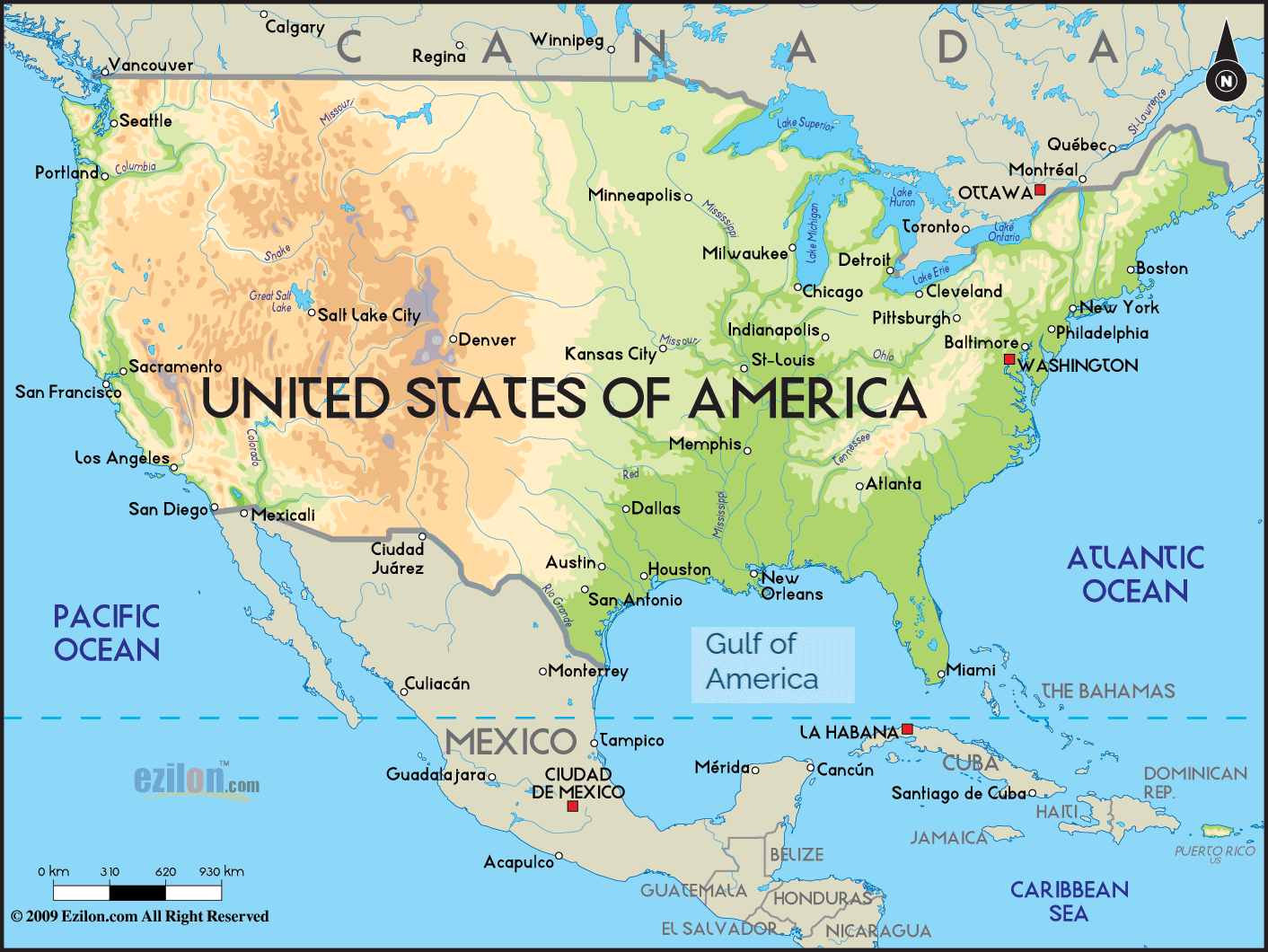
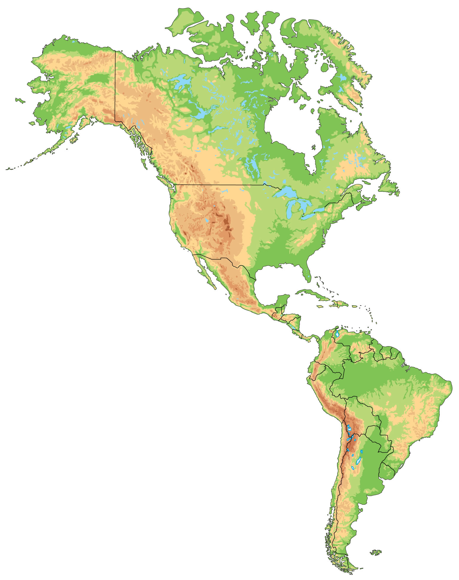
US and Americas physical map
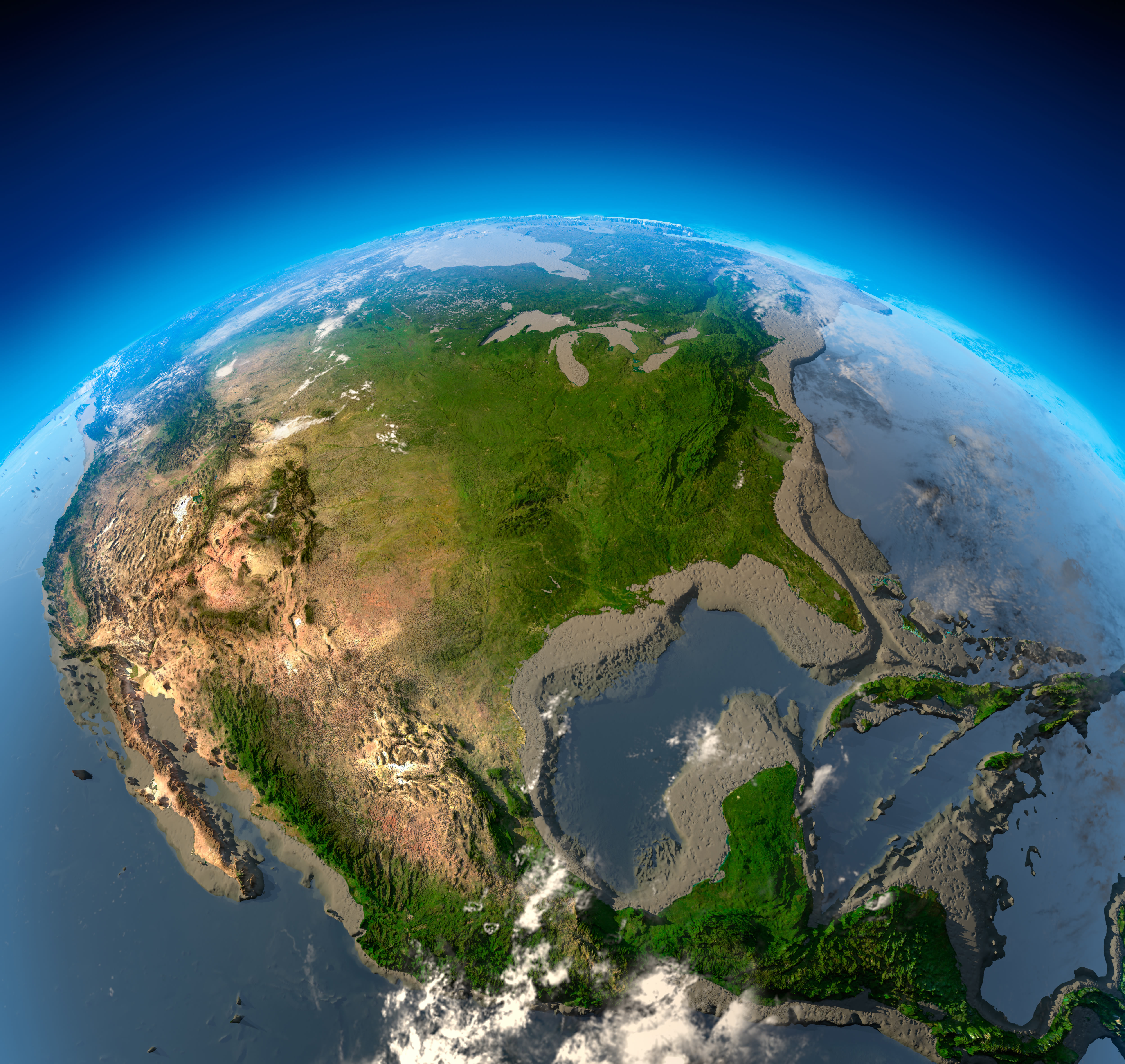
US and North America satellite map with physical feature
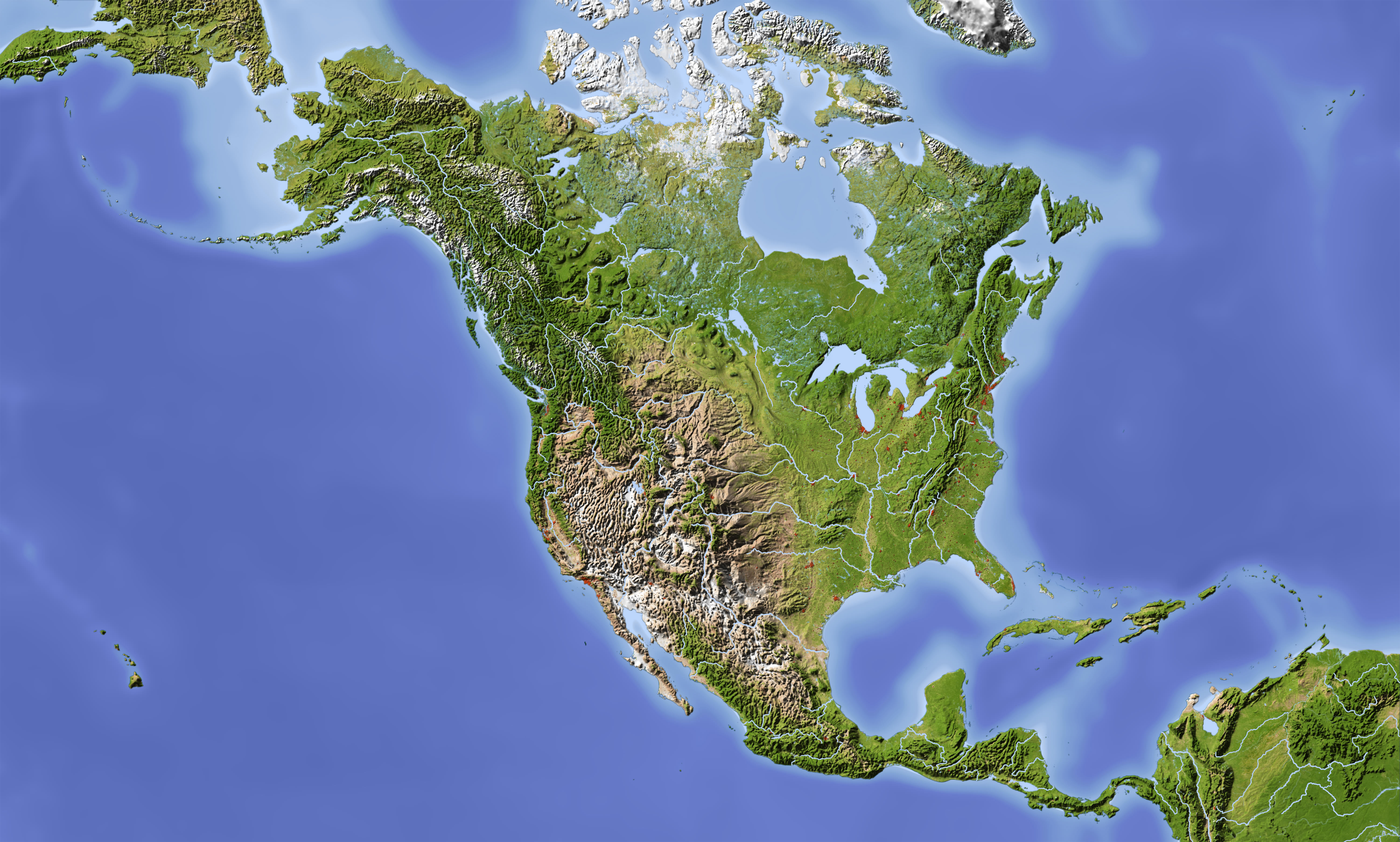
US and North America satellite physical map
US blank physical map by states
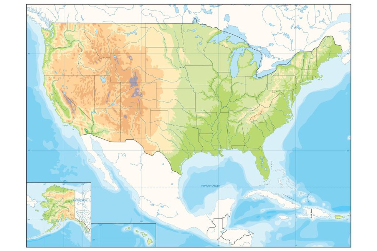
US geography map
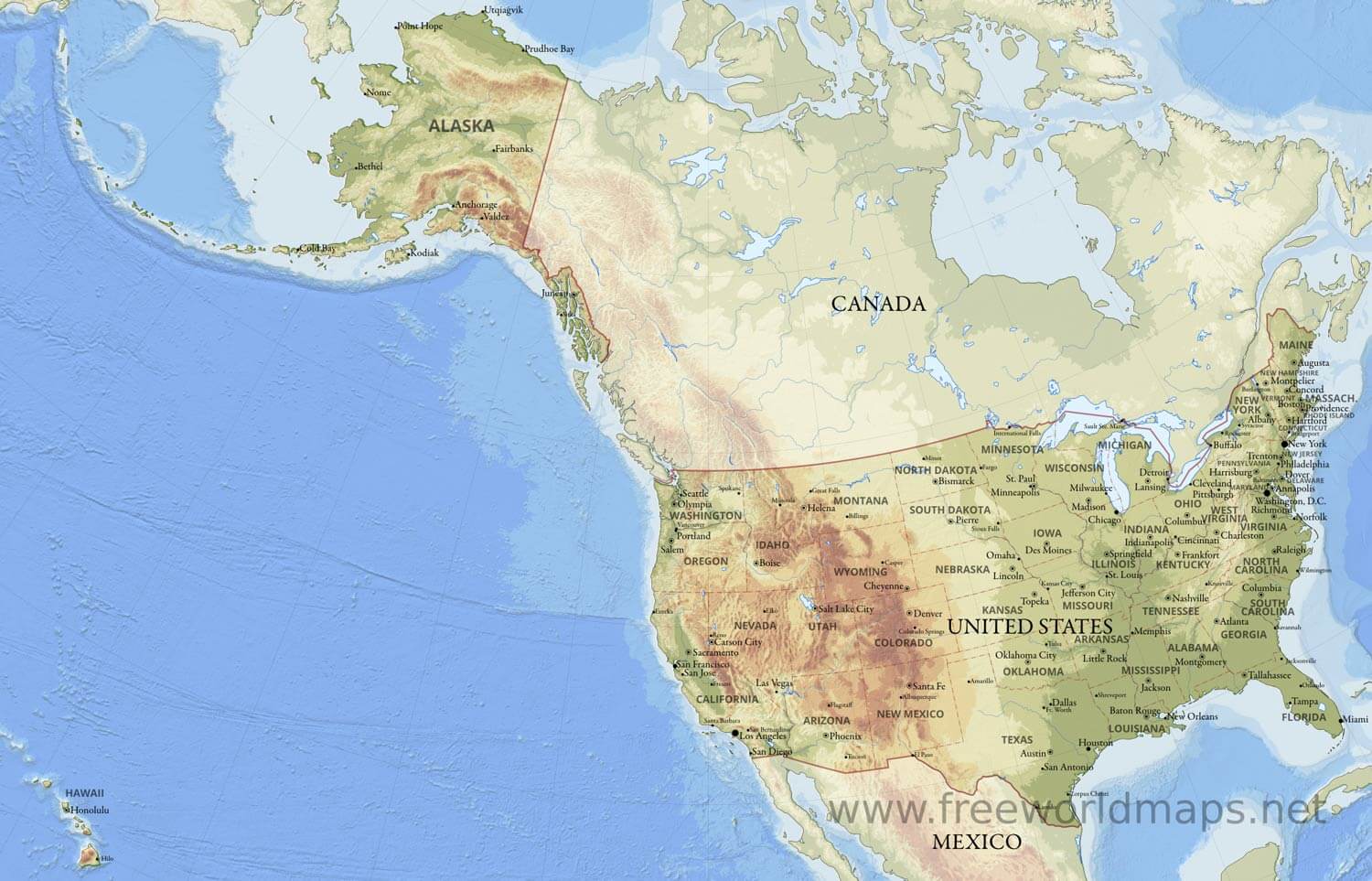
US map physical topography map
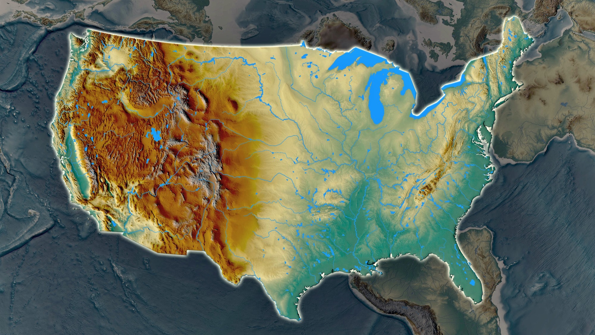
US North America physical map
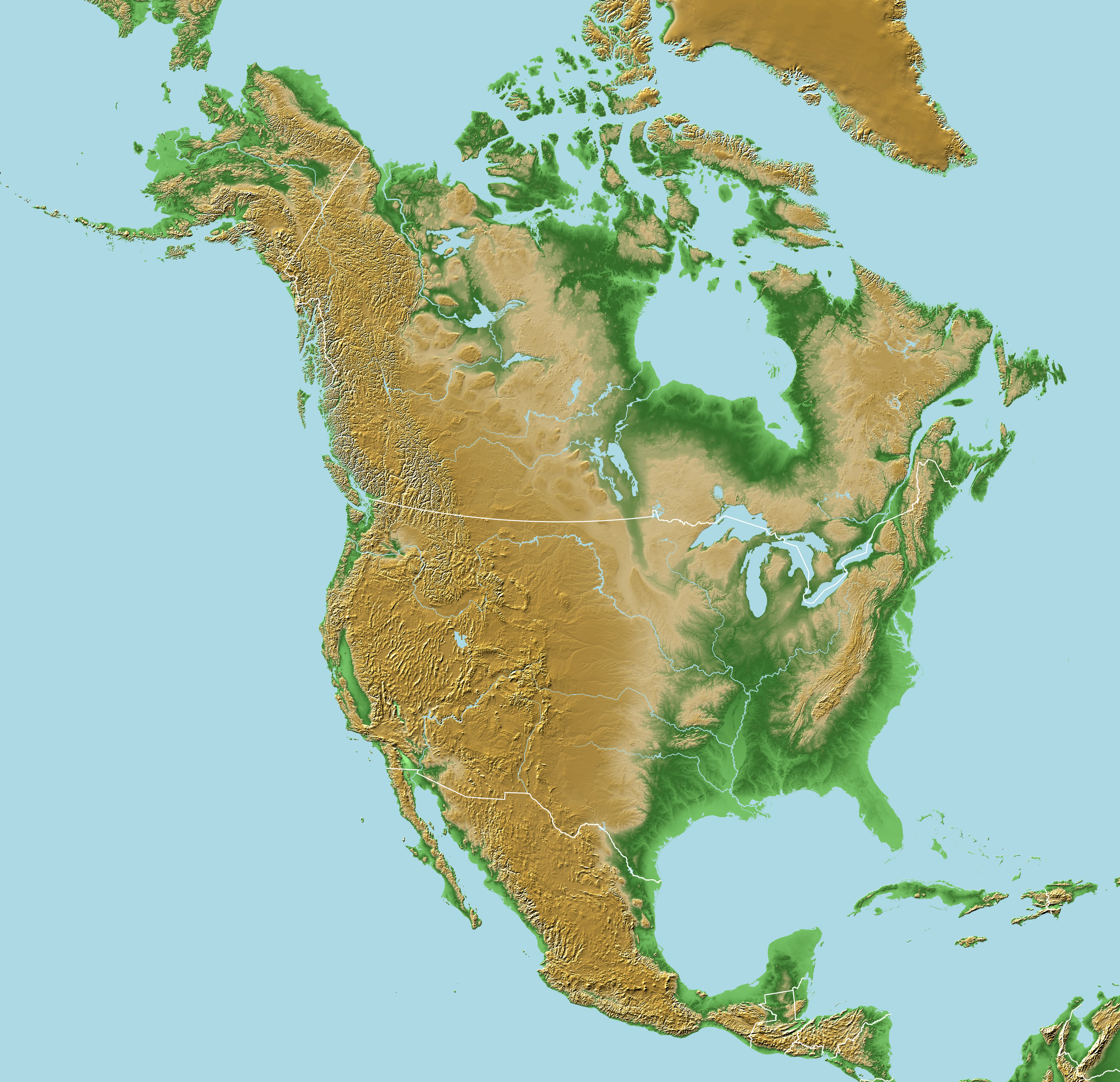
US physical feature map
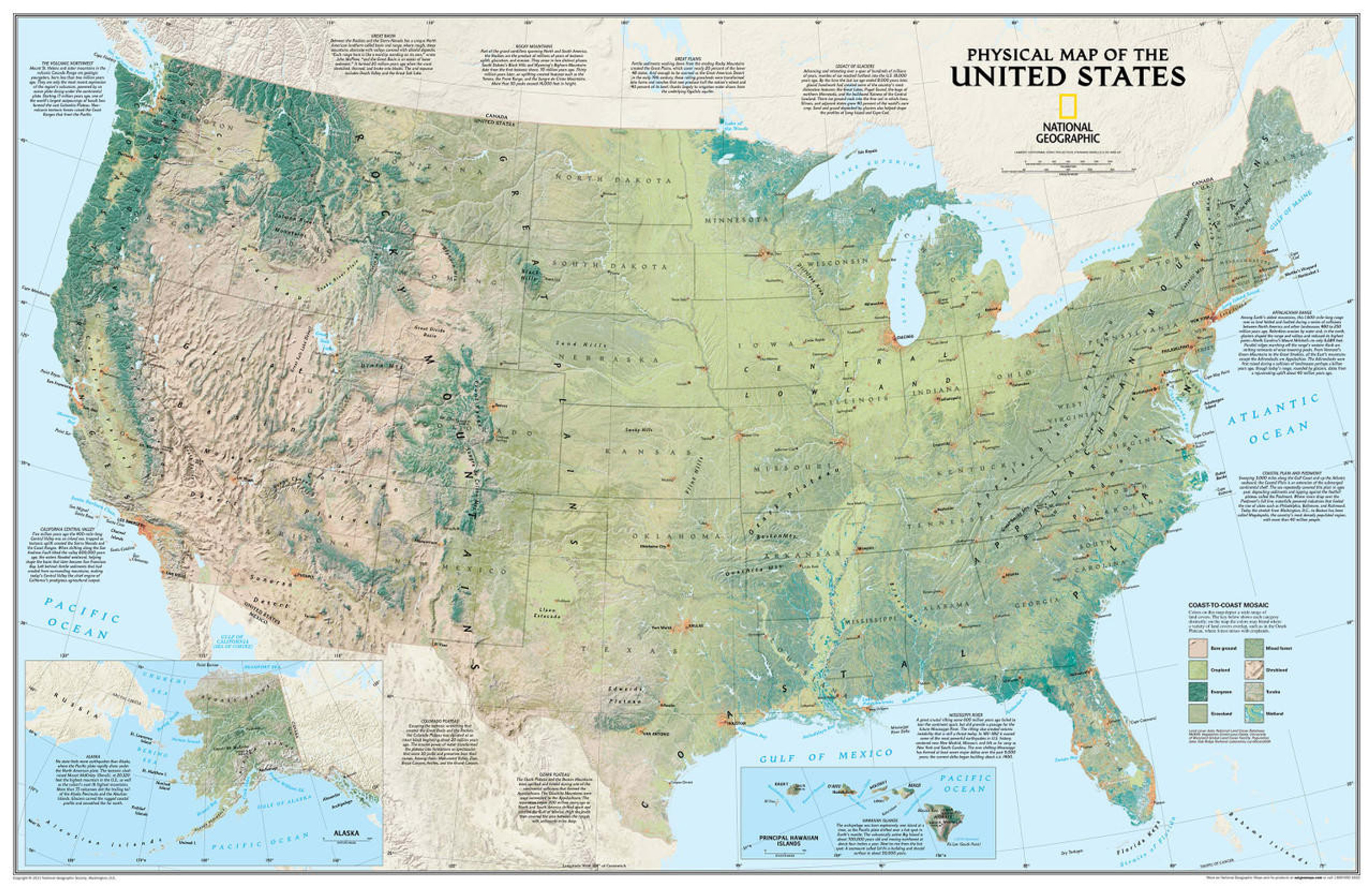
US physical map with cities
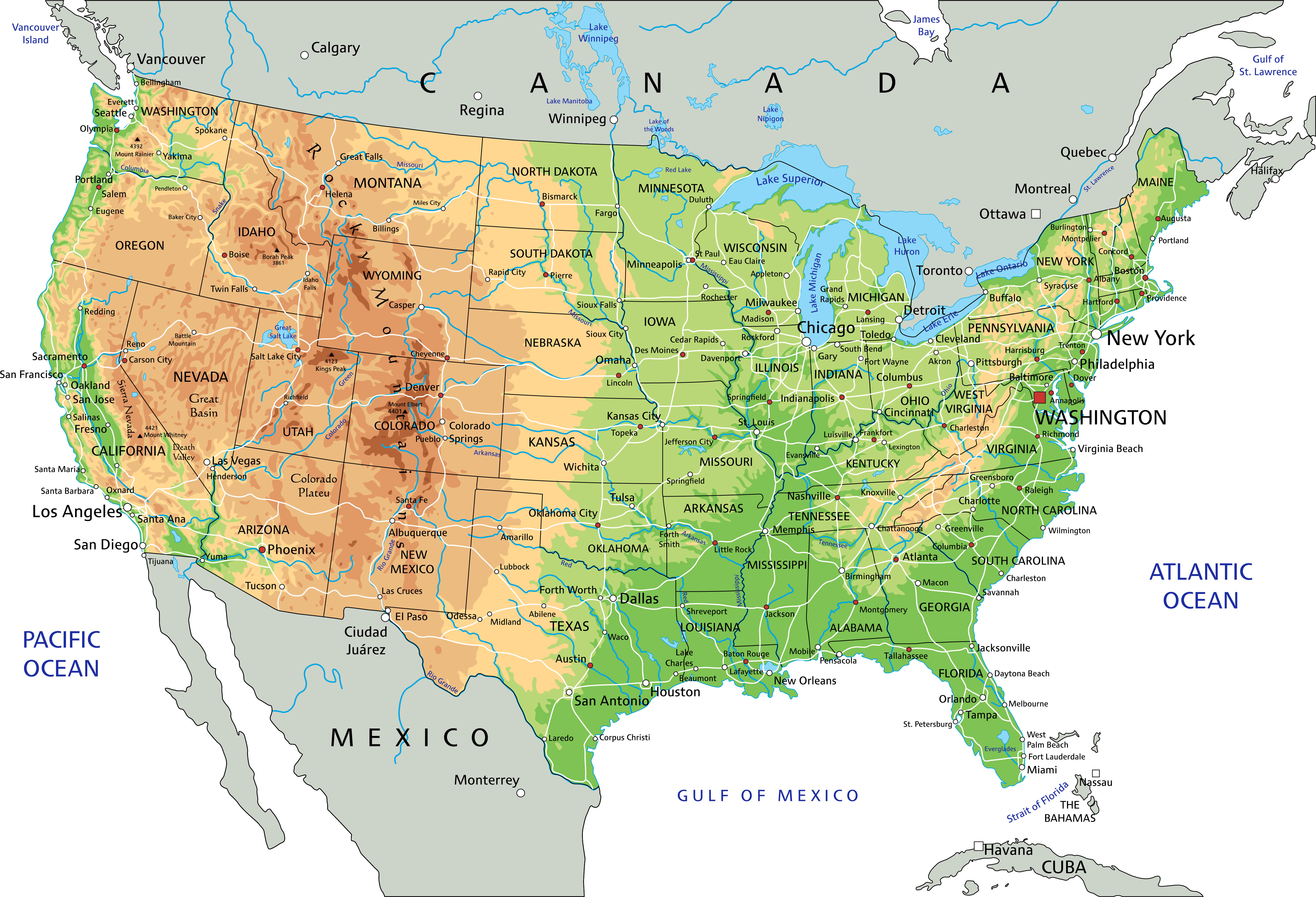
US physical map with national borders
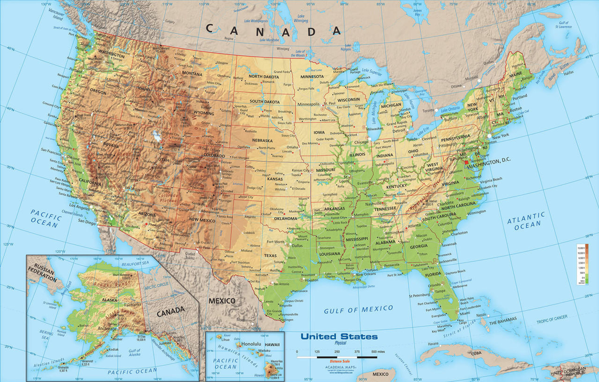
US physical maps
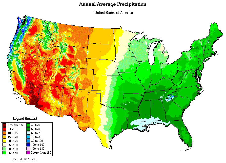
US precipitation and physical map
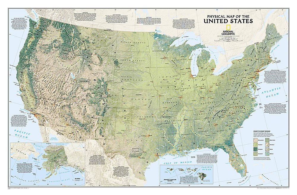
US scaled physical map
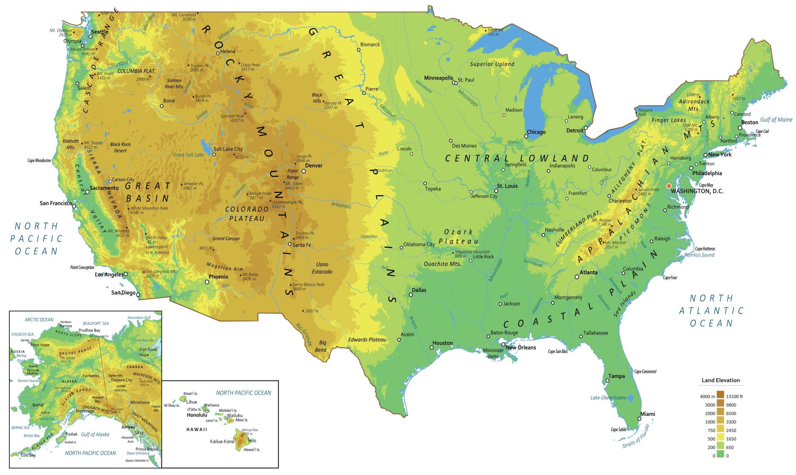
US topography and physical map
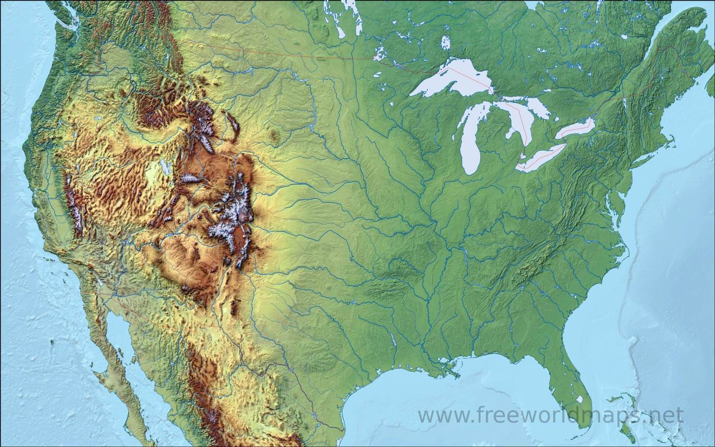
USA physical map

USA physical map
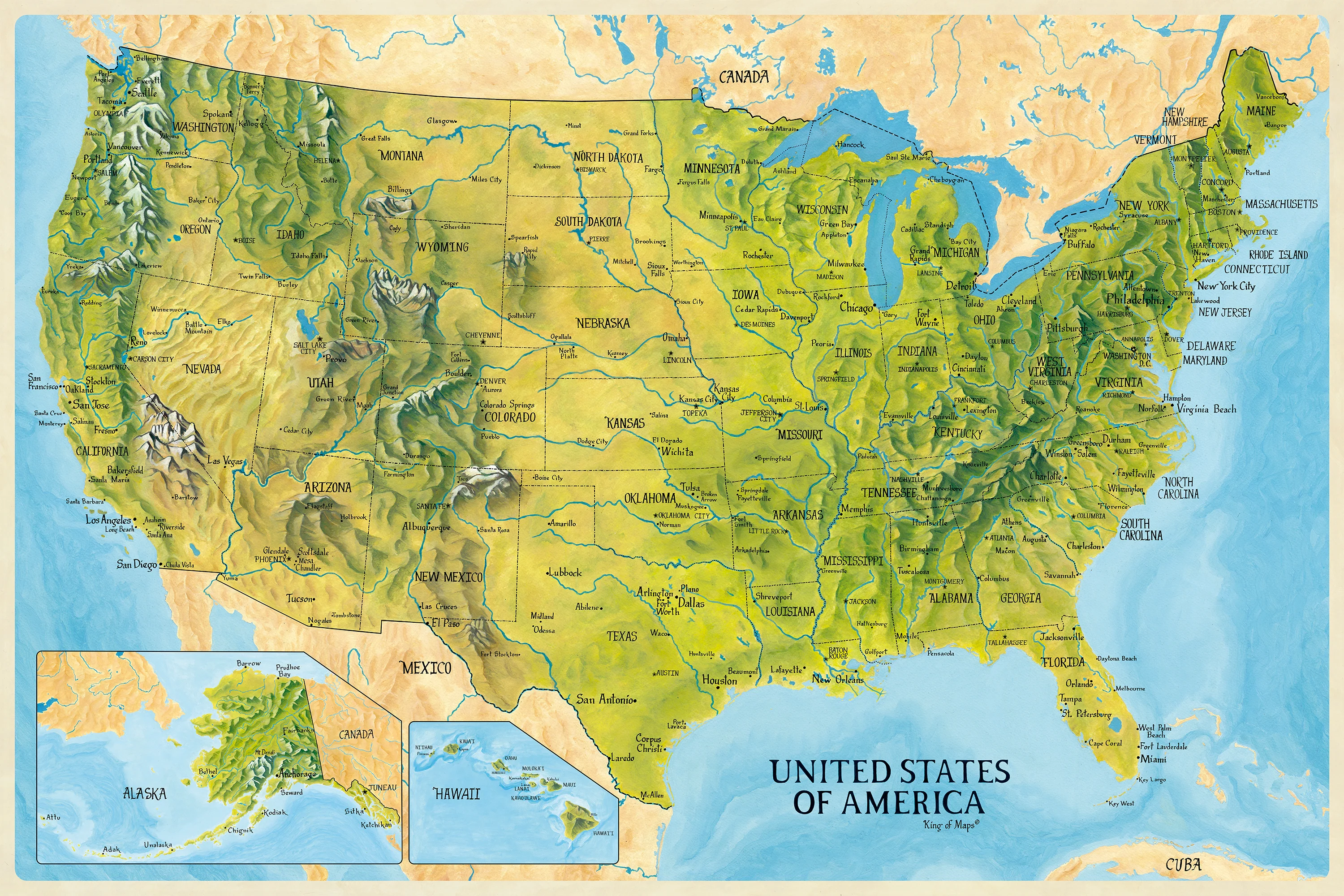
USA physical wall map
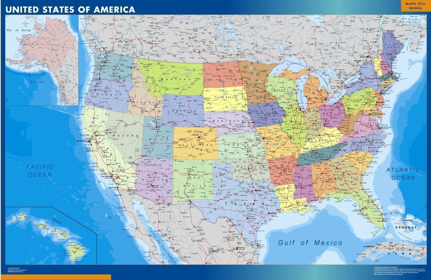
USA topo map
Where is the United States on the World Map?
Show Google map, satellite map, where is the country located.
Get directions by driving, walking, bicycling, public transportation and travel with street view.
Feel free to explore US states maps:
- United States Map ↗️
- US Maps ↗️
- United States Maps ↗️
- Map of United States ↗️
- US States Map ↗️
- Political Map of the US ↗️
- United States Political Map ↗️
- US High-resolution Map ↗️
- United States Physical Map ↗️
- United States High-resolution Map ↗️
- US Population Map ↗️
- United States Population Map ↗️
- US Time Zone Map ↗️
- US Blank Map ↗️
- United States Blank Map ↗️
- US Cities Map ↗️
- US States Capitals Map ↗️
- United States Cities Map ↗️
- United States Capitals Map ↗️
- Gulf of America (The Gulf of Mexico) Map ↗️
- United States Time Zone Map ↗️
- California Time Zone Map ↗️
- Texas Time Zone Map ↗️
- New York Time Zone Map ↗️
- Florida Time Zone Map ↗️
- California Map ↗️
- Texas Map ↗️
- New York Map ↗️
- Florida Map ↗️
- Illinois Map ↗️
- Pennsylvania Map ↗️
- North America Map ↗️
- Advertisement -
