- Advertisement -
Explore detailed United States population density maps, including states, counties, and cities. View historical changes, 2005–2020 comparisons, and maps of California, Canada, and the world. Discover Muslim population maps, elevation maps, and more to understand demographic trends across the United States and globally.
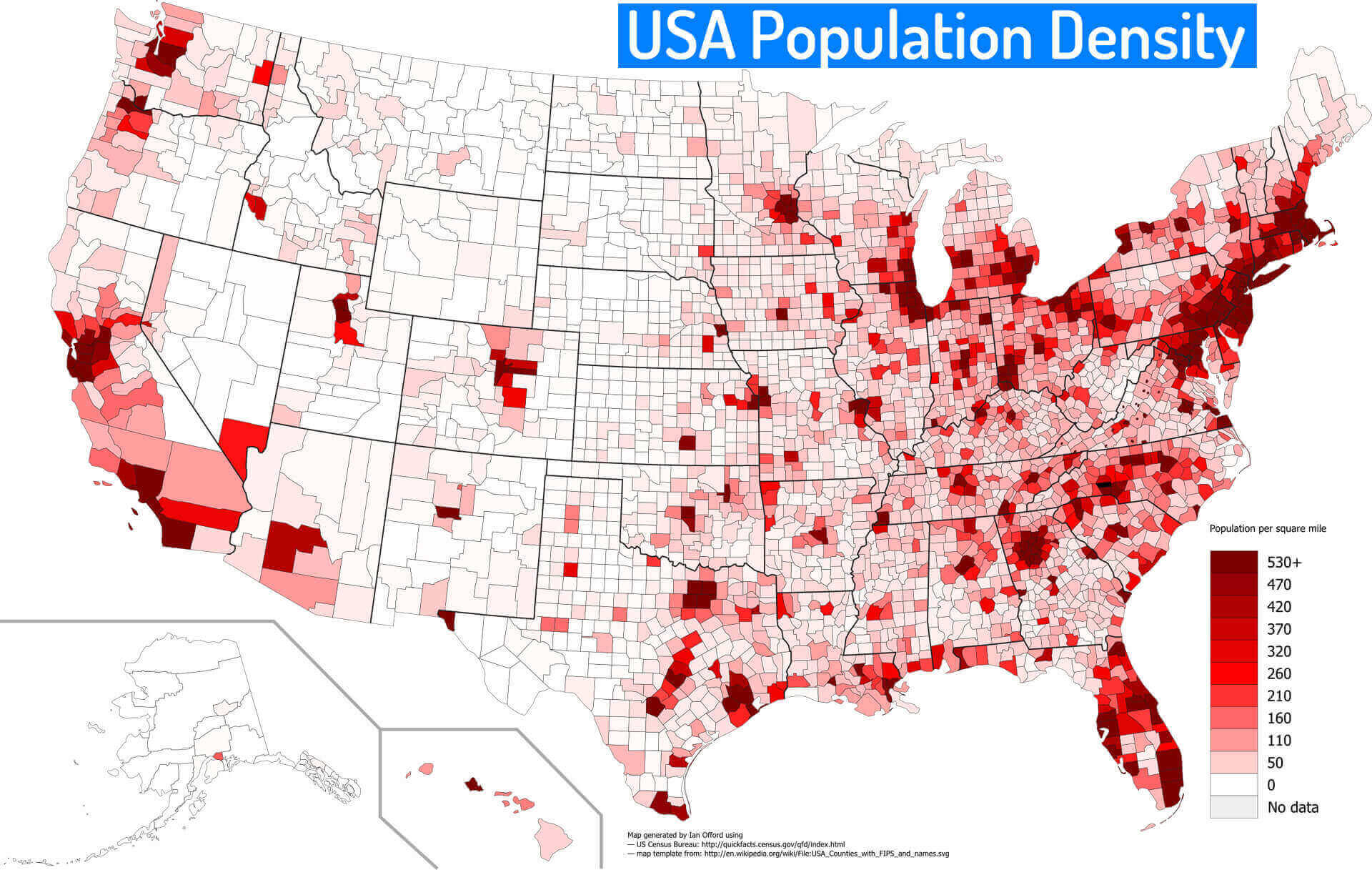
Population Density of the United States
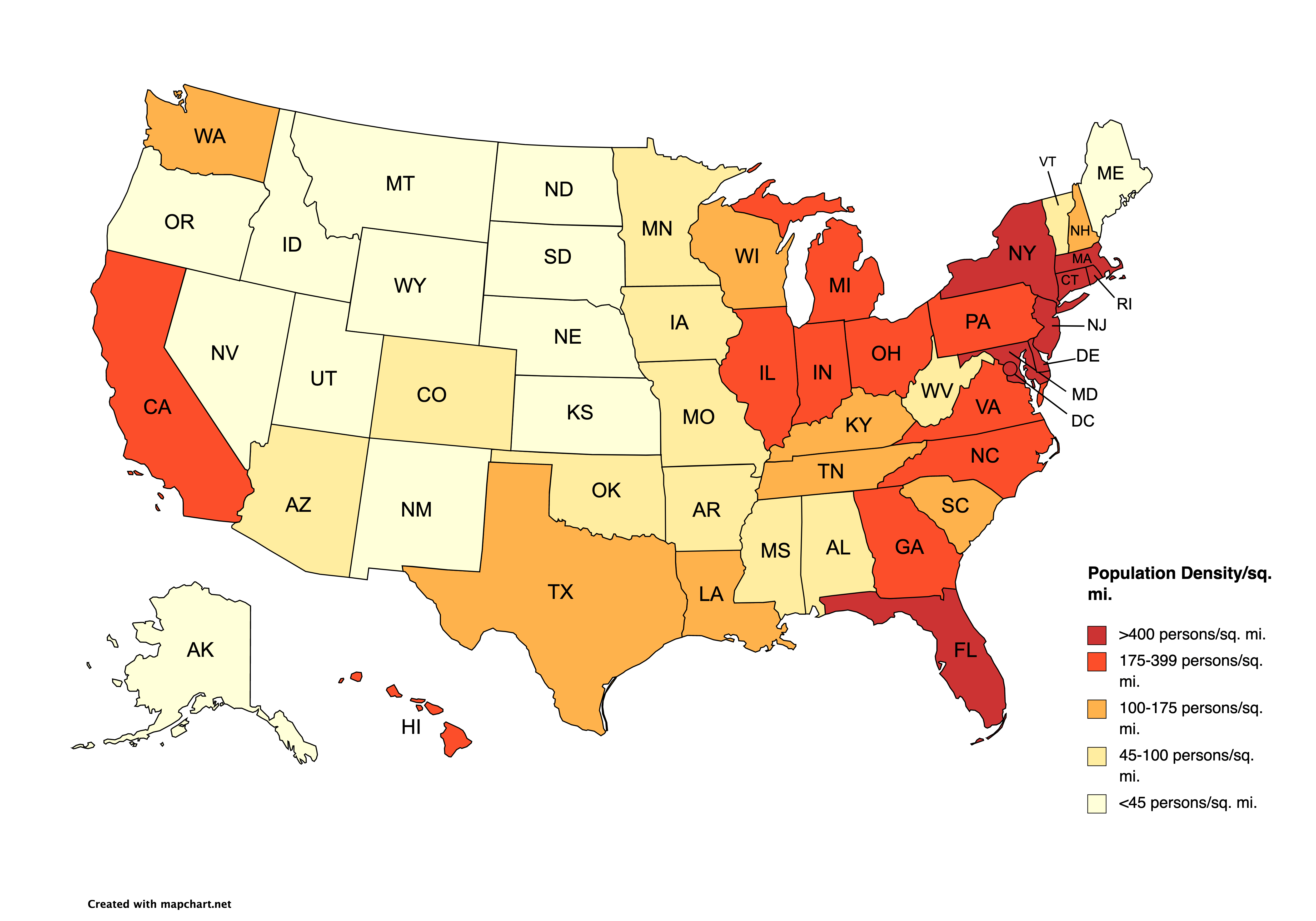
United States Population Density Map (2020)
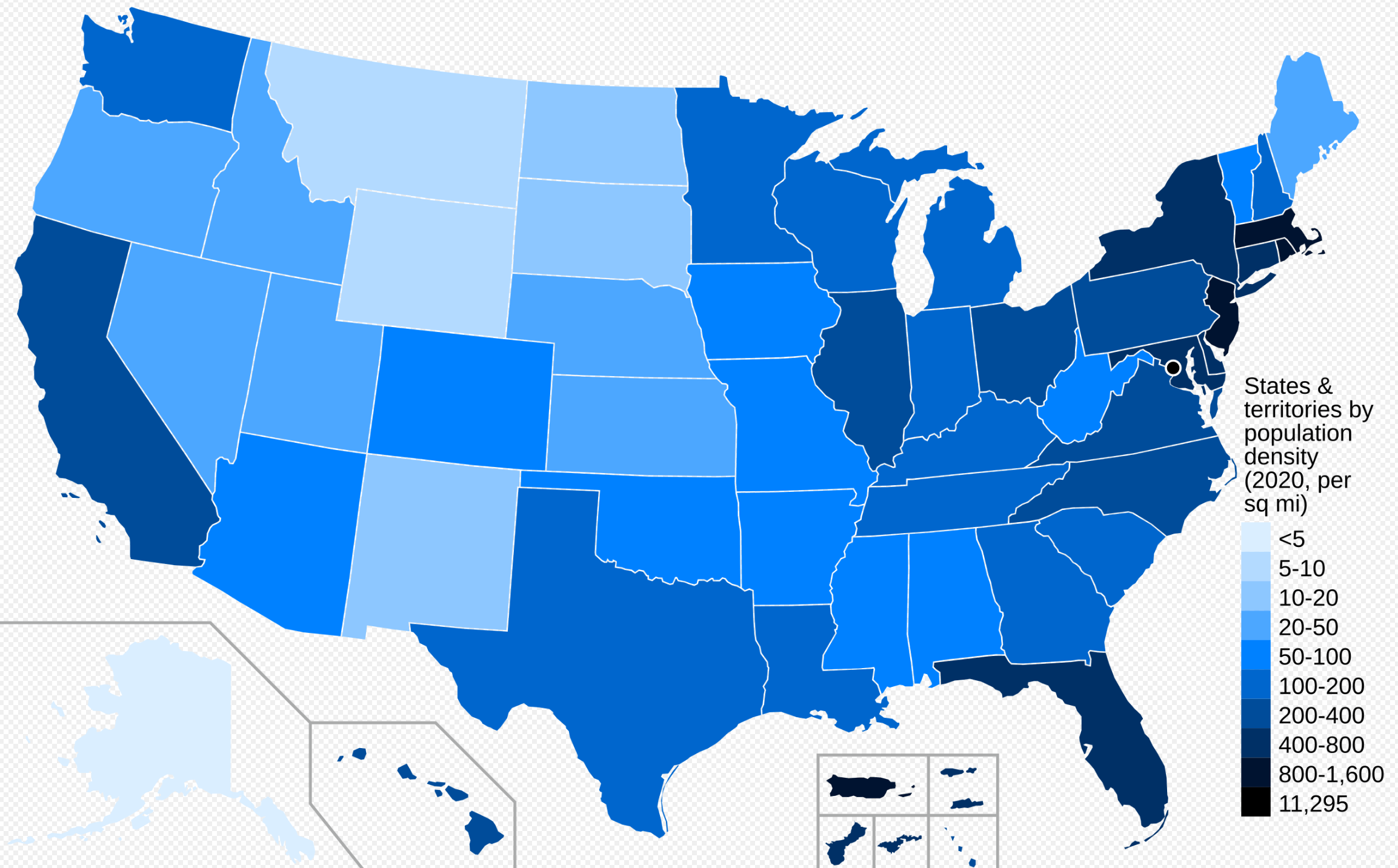 US map 2020 showing state population density with blue color scale.
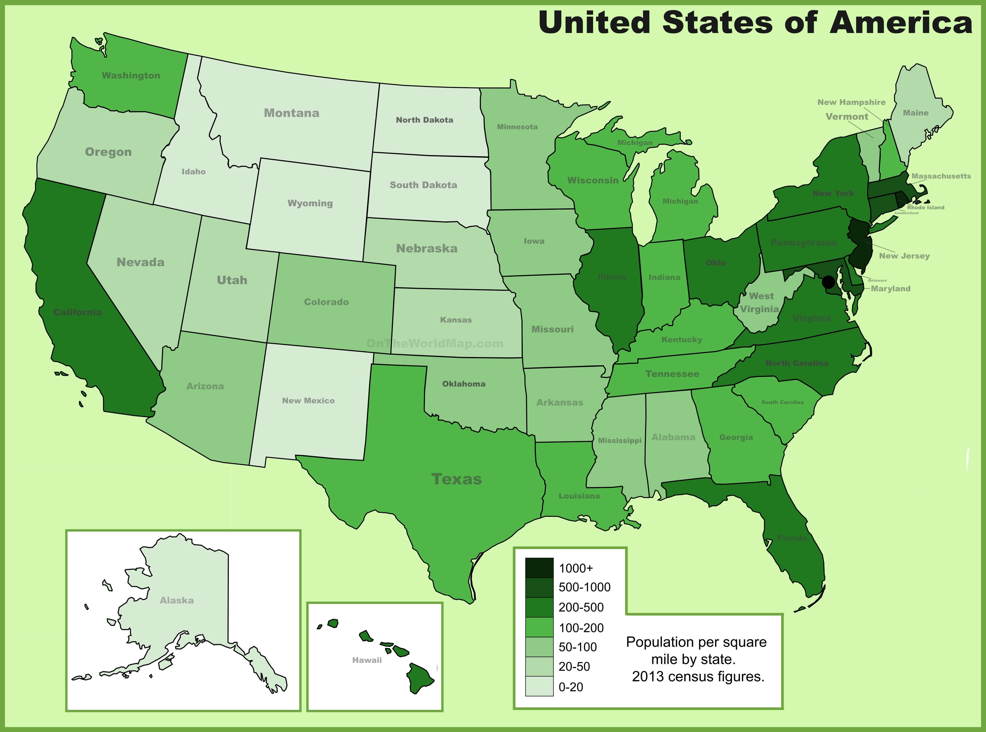
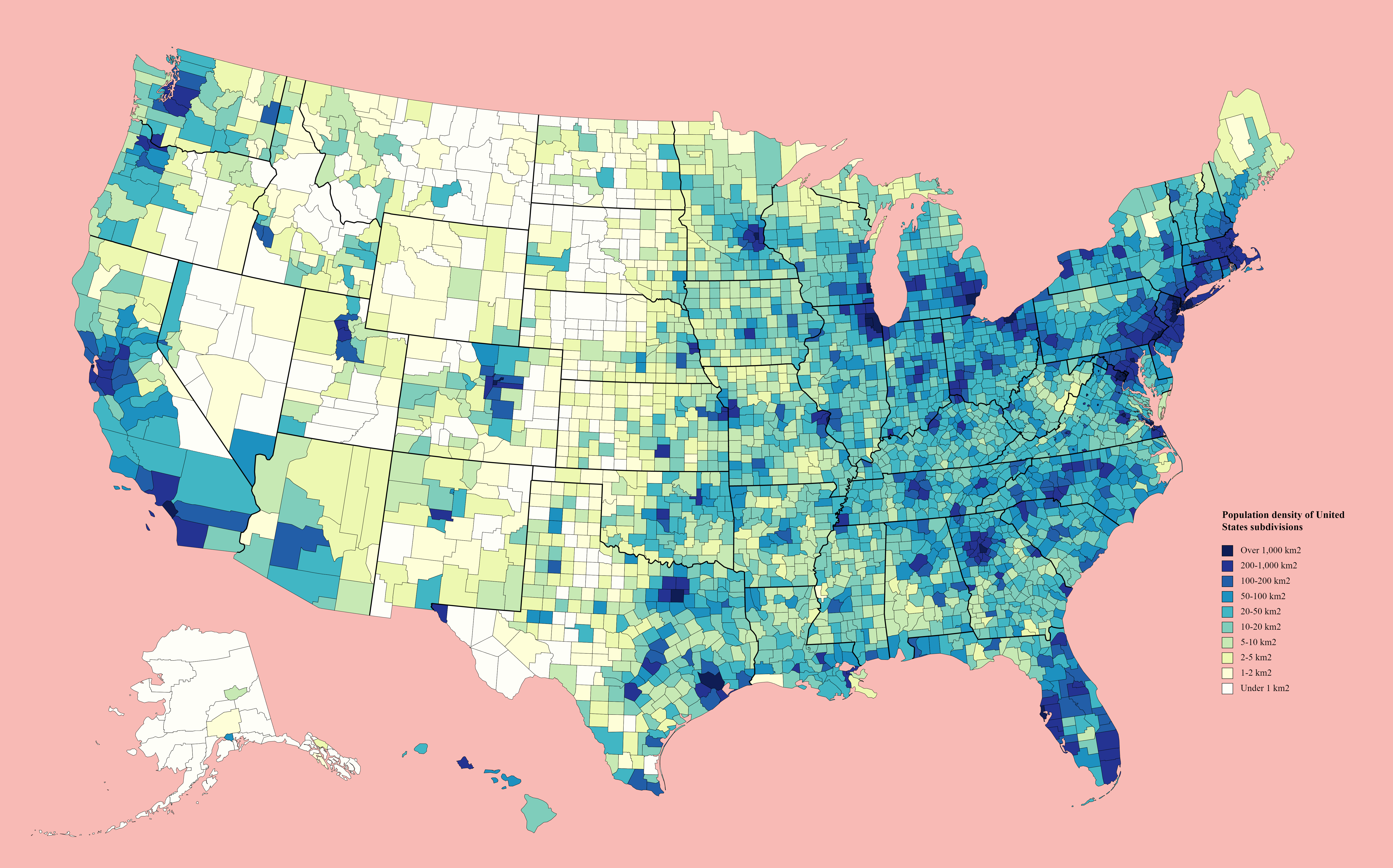
United States counties by population density map
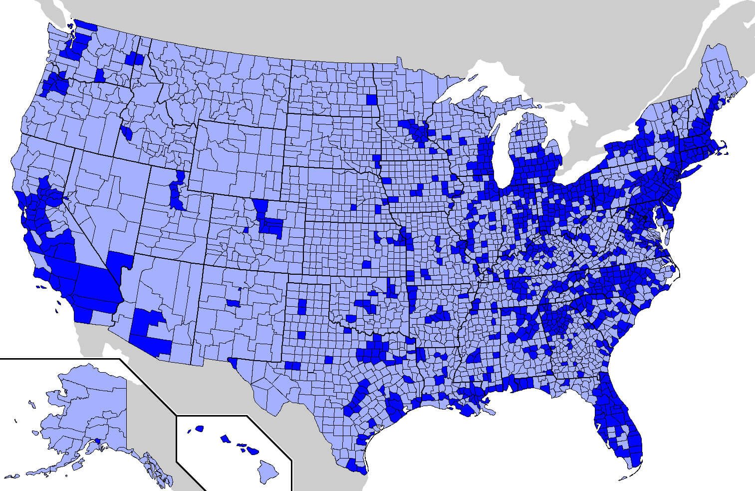
United States of America population density map
California and the US population density map
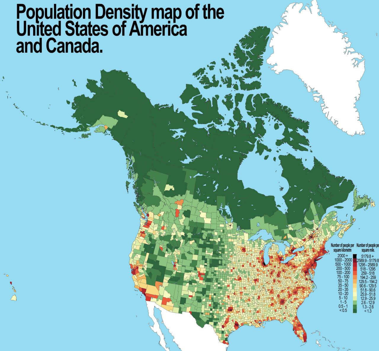
Population density map of the United States and canada
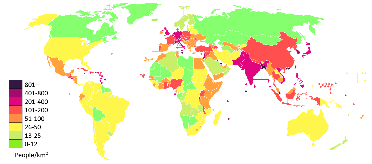
Population density map of the World and us
Population density of United States counties map
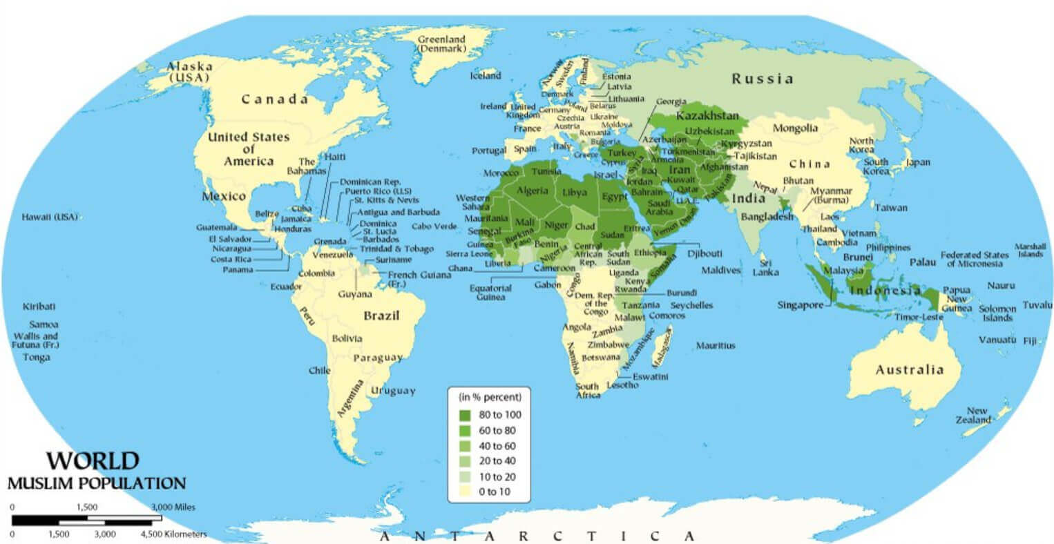
United States and World Muslim population density map
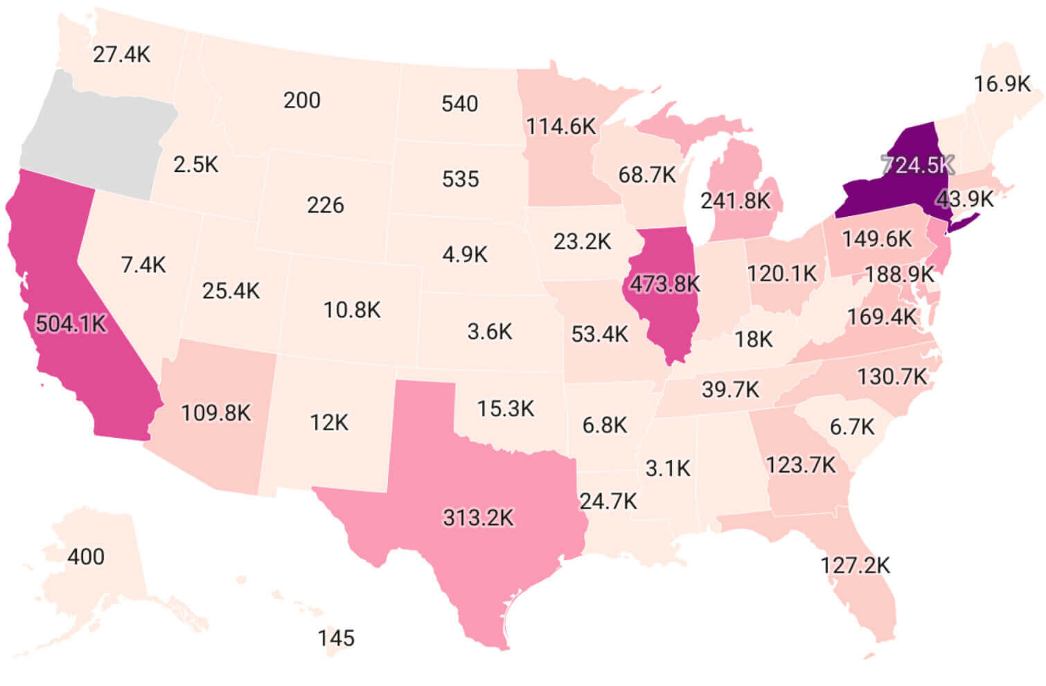
United States Muslim population map by states
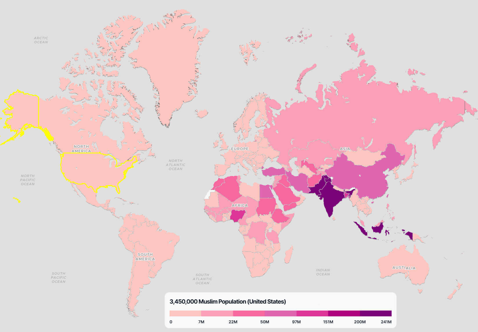
United States Muslim population map in the World
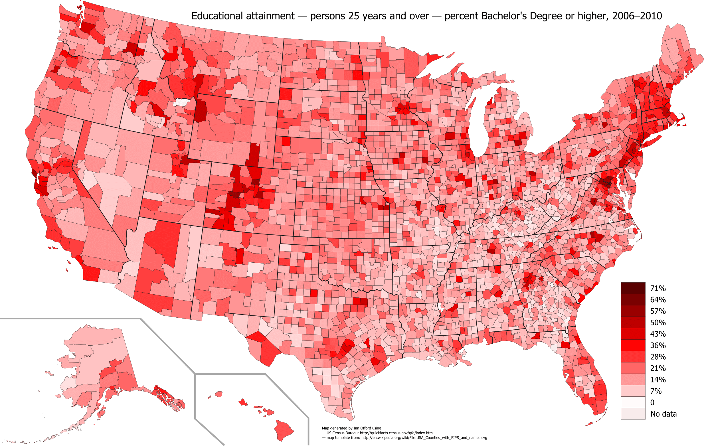
United States population density change map between 2006 and 2010
United States population density cities map
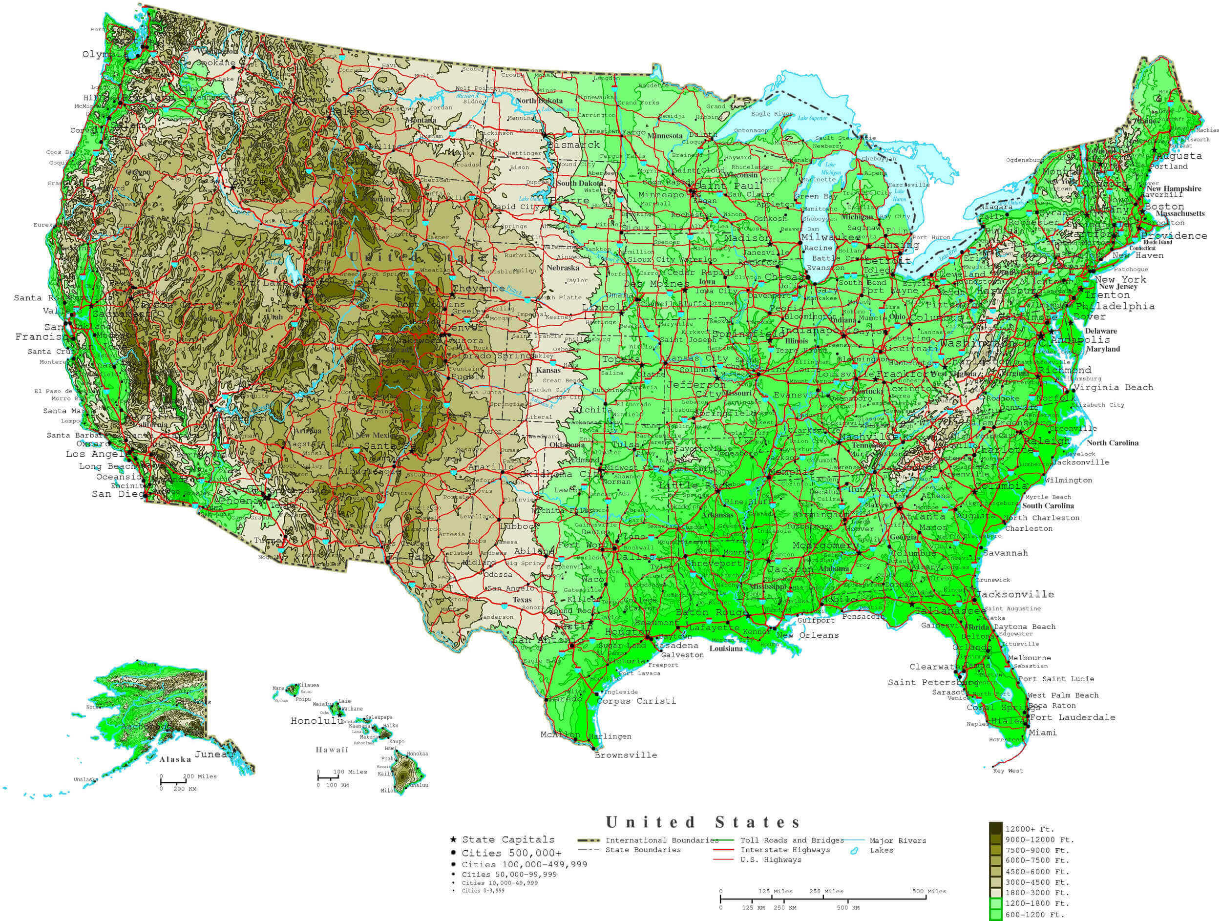
United States population density countries 2018 World map
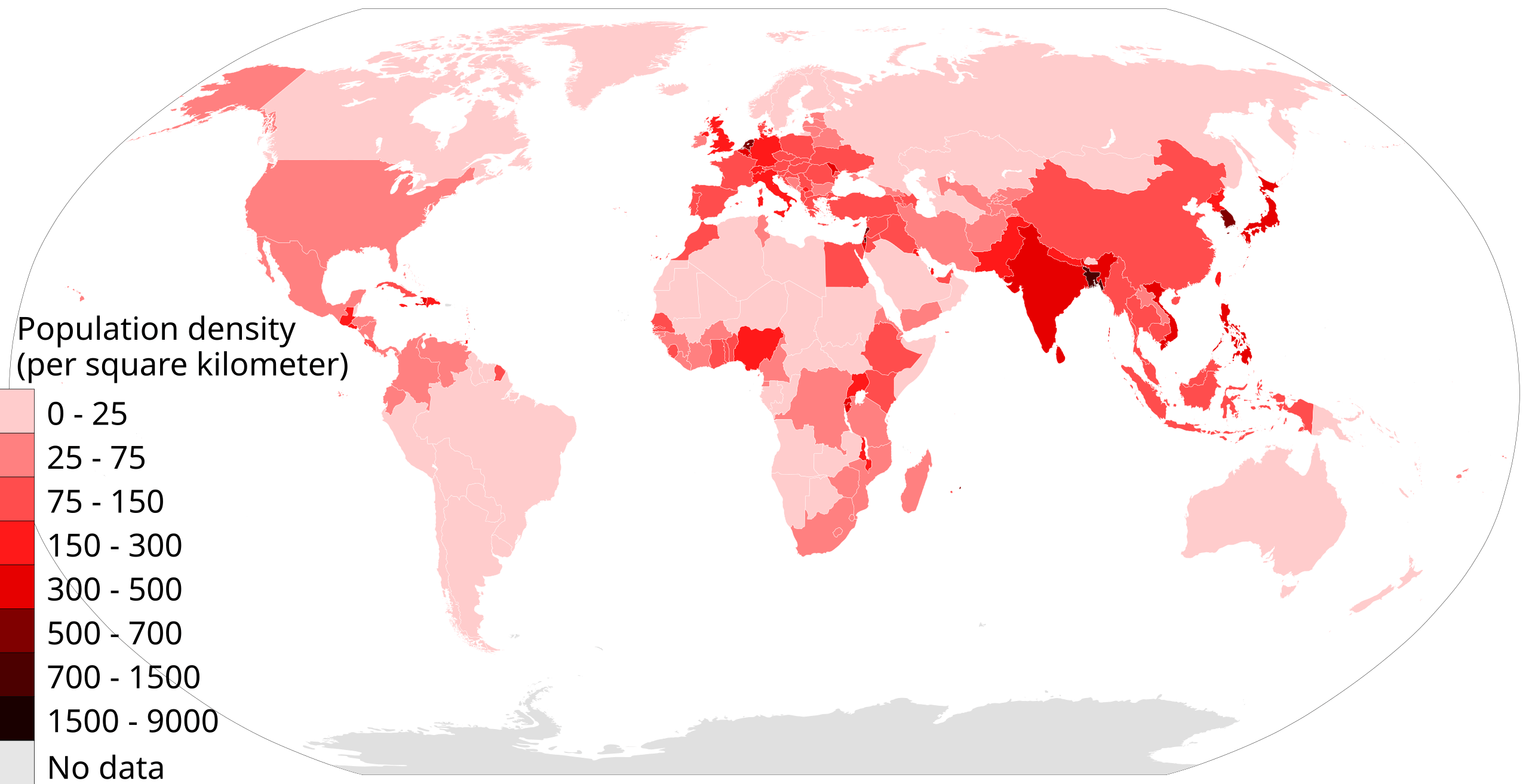
United States population density map by states
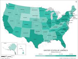
United States population density map in 2005
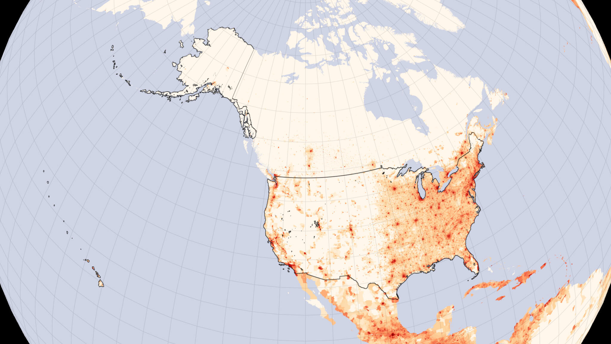
United States population density map
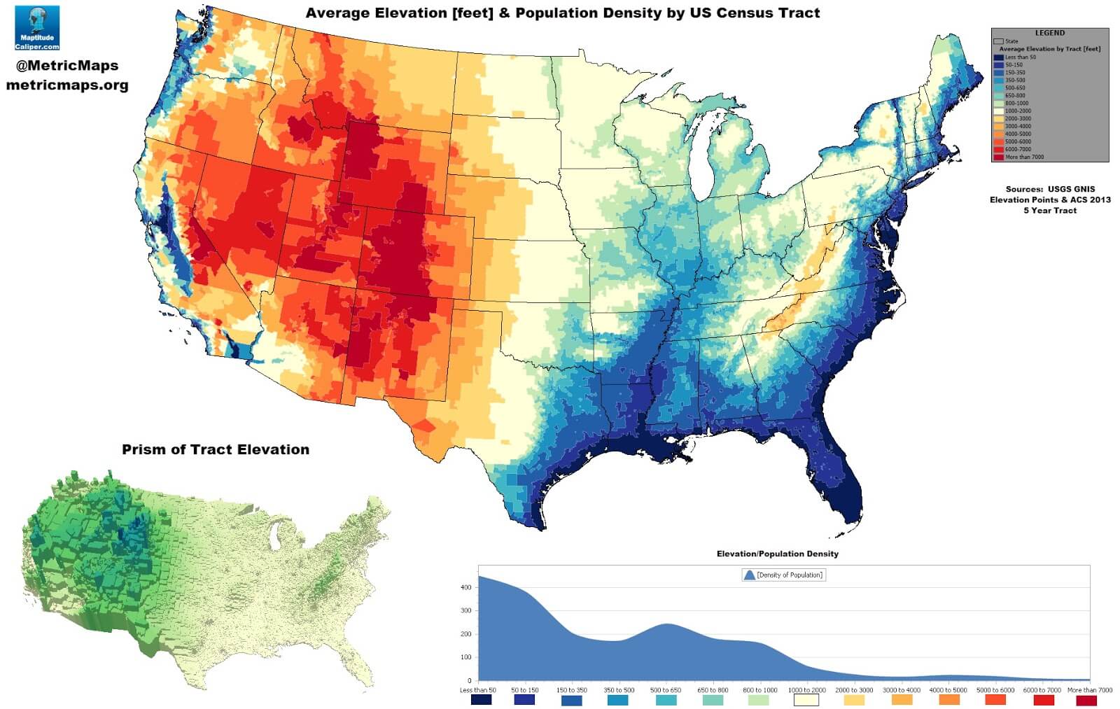
United States population elevation map
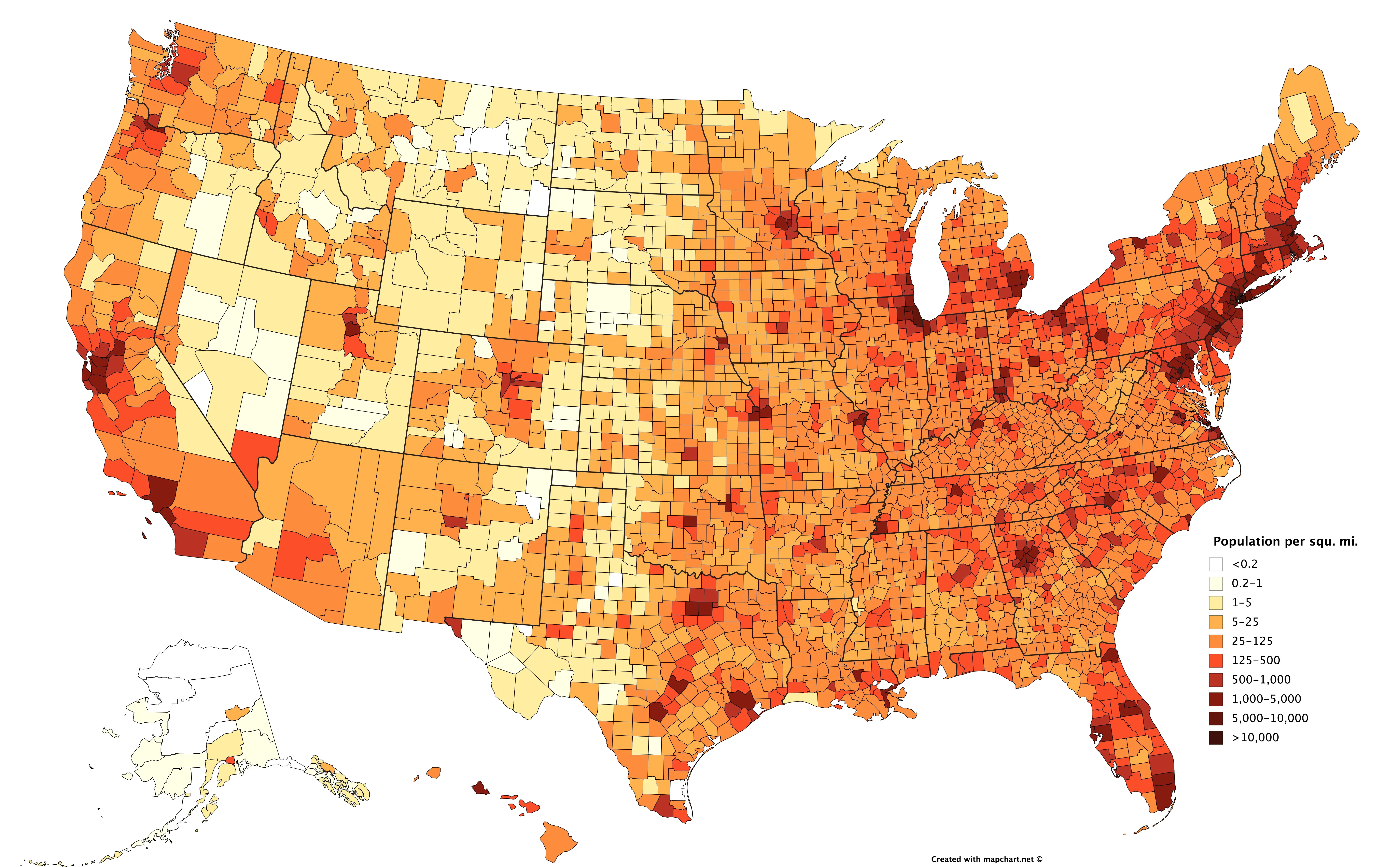
United States population map
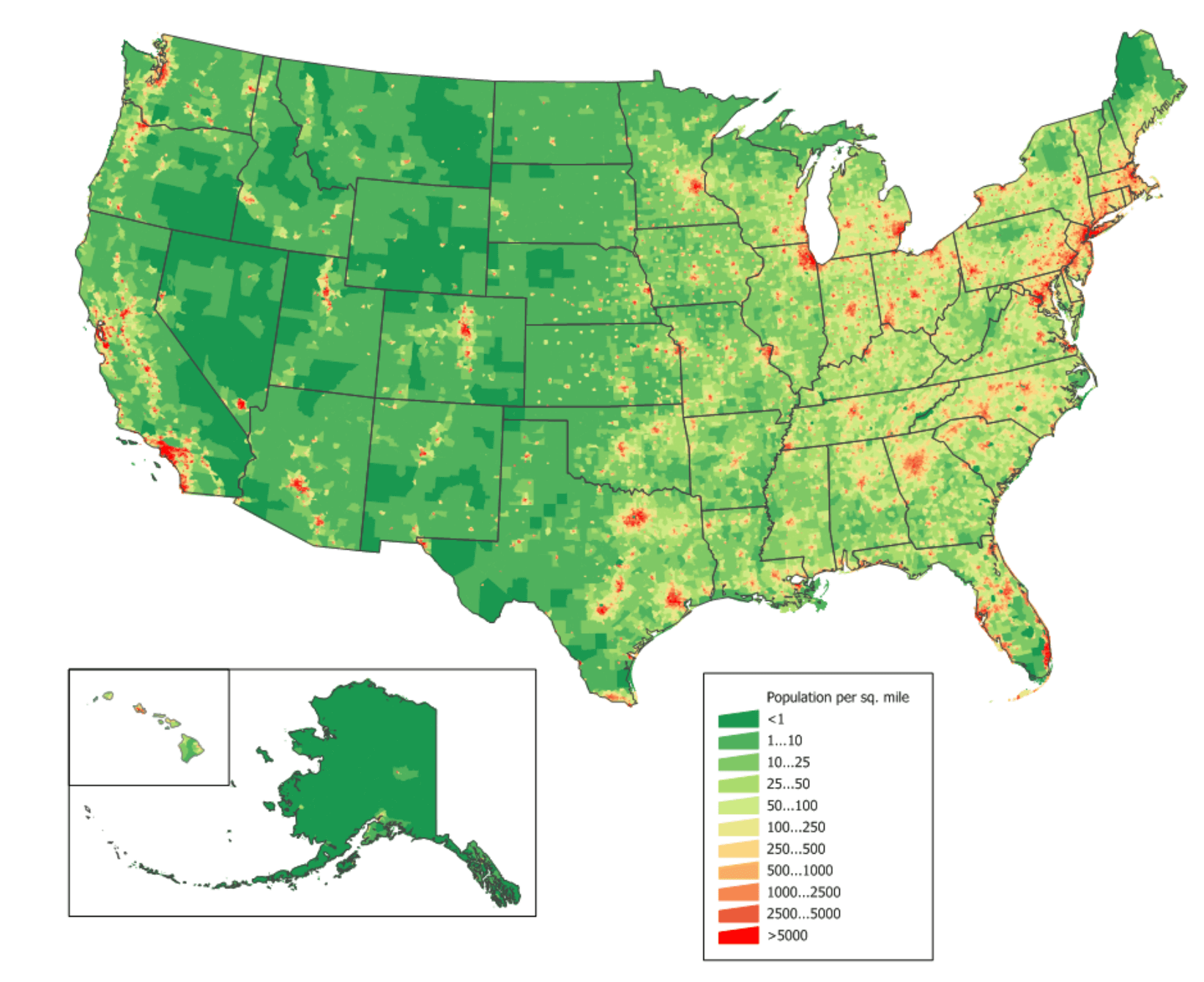
US population density map
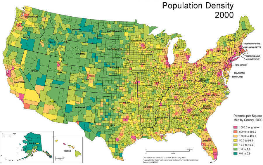
US population map
Where is the United States on the World Map?
Show Google map, satellite map, where is the country located.
Get directions by driving, walking, bicycling, public transportation and travel with street view.
Feel free to explore US states maps:
- United States Map ↗️
- Map of United States ↗️
- US Maps ↗️
- United States Maps ↗️
- US States Map ↗️
- United States States Map ↗️
- United States Cities Map ↗️
- United States Physical Map ↗️
- US Cities Map ↗️
- United States Capitals Map ↗️
- US States Capitals Map ↗️
- Political Map of the US ↗️
- US Physical Map ↗️
- United States Political Map ↗️
- US High-resolution Map ↗️
- United States High-resolution Map ↗️
- US Population Map ↗️
- US Time Zone Map ↗️
- US Blank Map ↗️
- United States Blank Map ↗️
- Gulf of America (The Gulf of Mexico) Map ↗️
- United States Time Zone Map ↗️
- California Time Zone Map ↗️
- Texas Time Zone Map ↗️
- New York Time Zone Map ↗️
- Florida Time Zone Map ↗️
- California Map ↗️
- Texas Map ↗️
- New York Map ↗️
- Florida Map ↗️
- Illinois Map ↗️
- Pennsylvania Map ↗️
- Ohio Map ↗️
- Michigan Map ↗️
- Georgia Map ↗️
- New Jersey Map ↗️
- North Carolina Map ↗️
- Virginia Map ↗️
- Massachusetts Map ↗️
- North America Map ↗️
- Advertisement -
