- Advertisement -
A collection maps of Belgium; View a variety maps of Belgium physical, political, relief map. Satellite image of Belgium, higly detalied maps, blank map of Belgium, World and Earth. And find more Belgium’s country, regions, topography, cities, road, rivers, national, directions maps and atlas.
Belgium Political Map
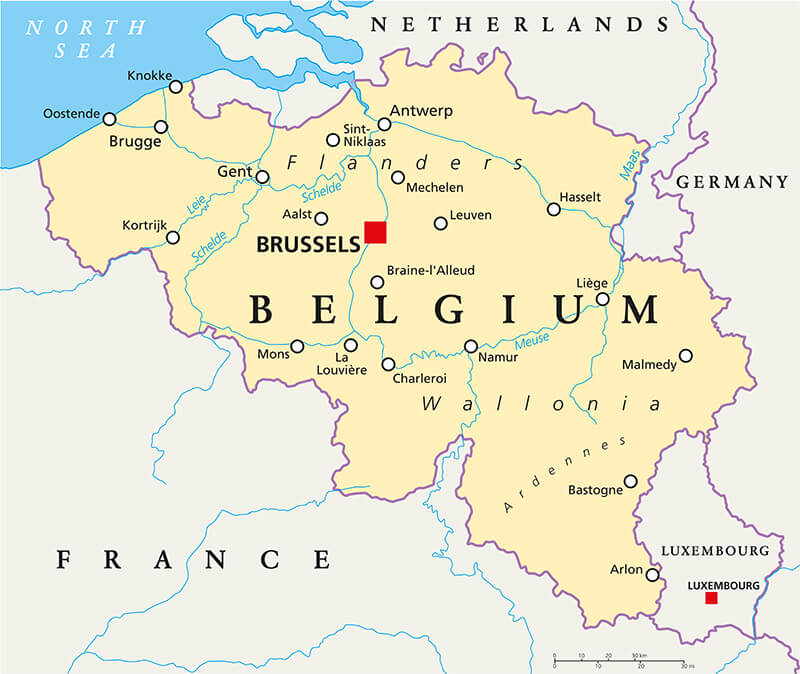 Belgium Political Map with capital Brussels, national borders, most important cities and rivers. English labeling and scaling.
Belgium Blank Map
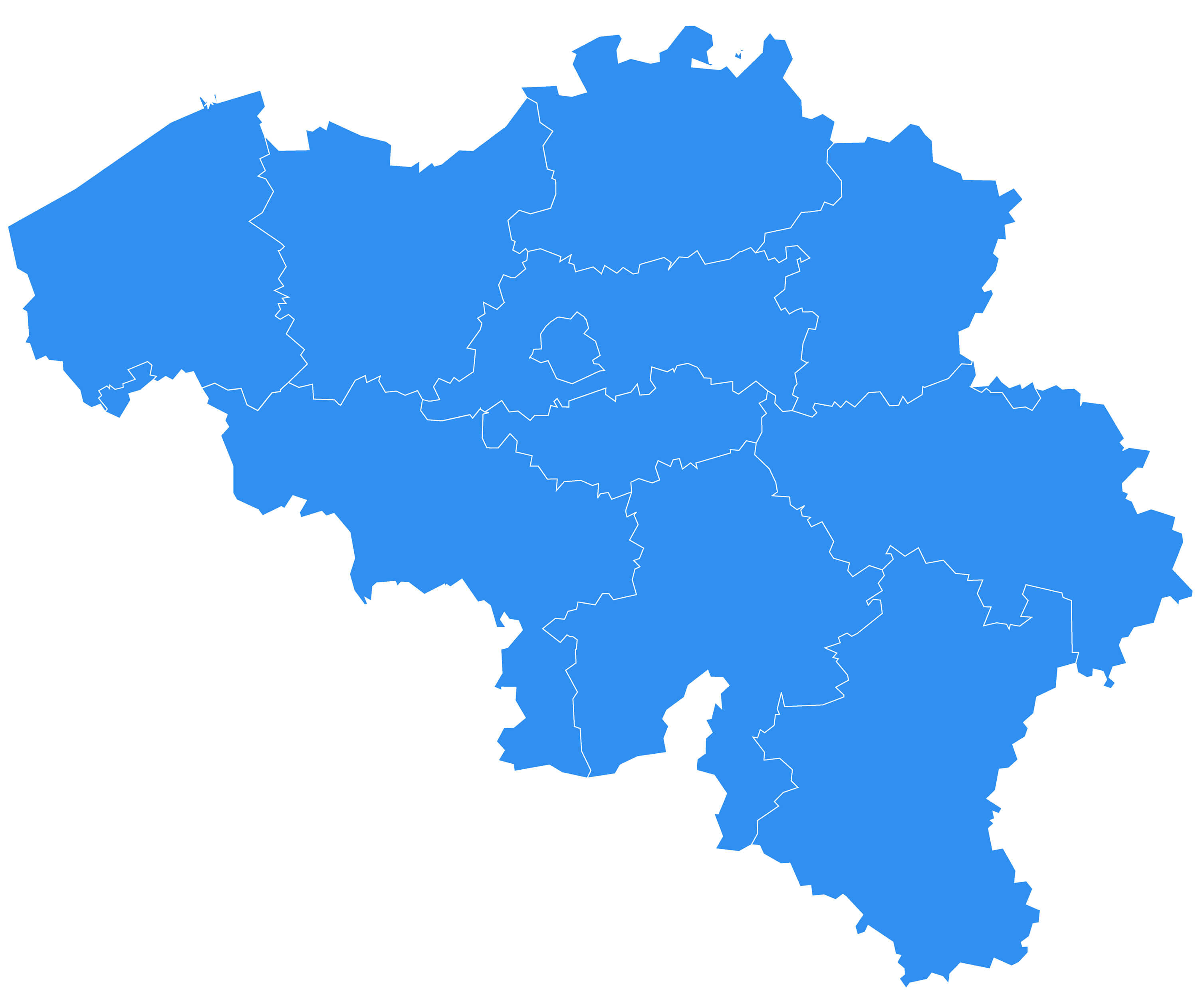
Vector map – Belgium country.
Belgium Map with Main Cities
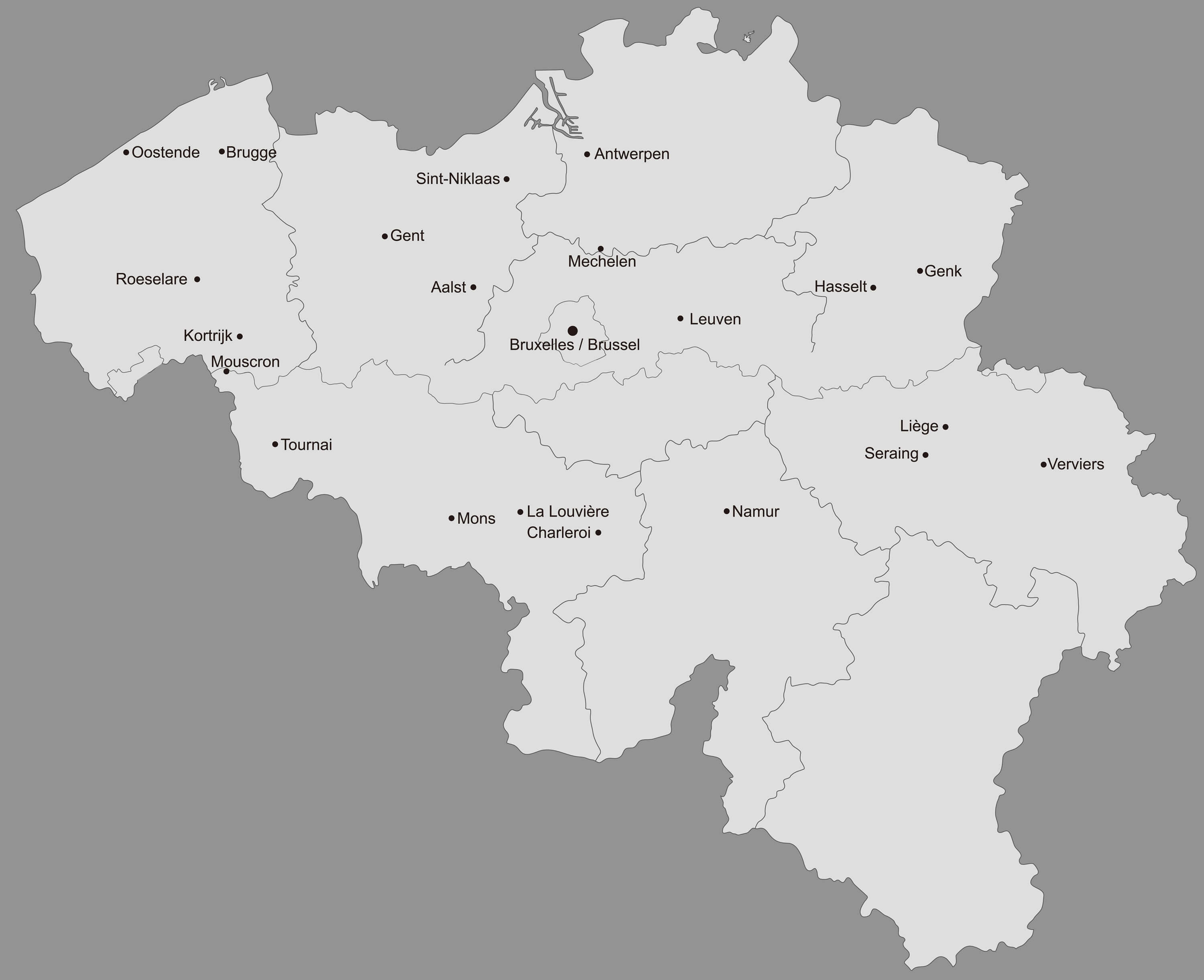
Belgium main cities map with provinces.
Belgium Highway Map
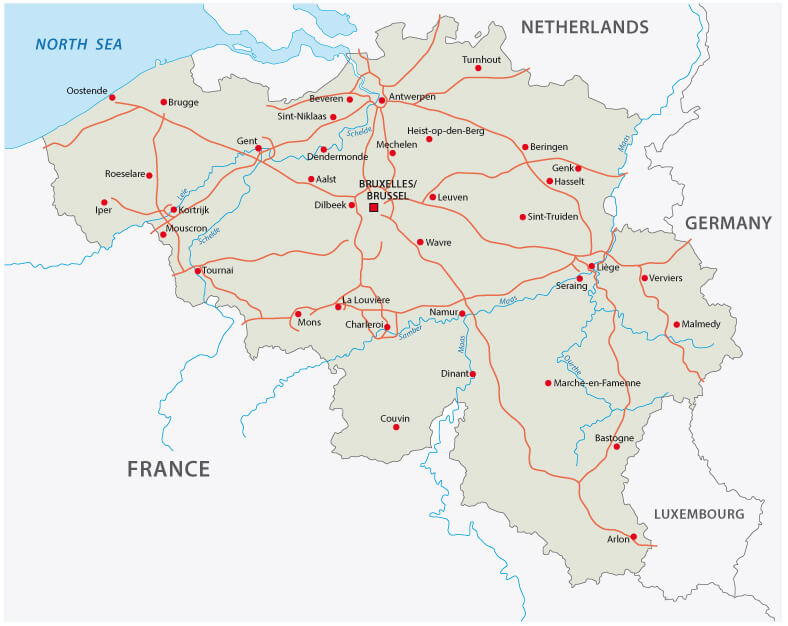
Belgium highway map with major cities.
Belgian Regions Language Map
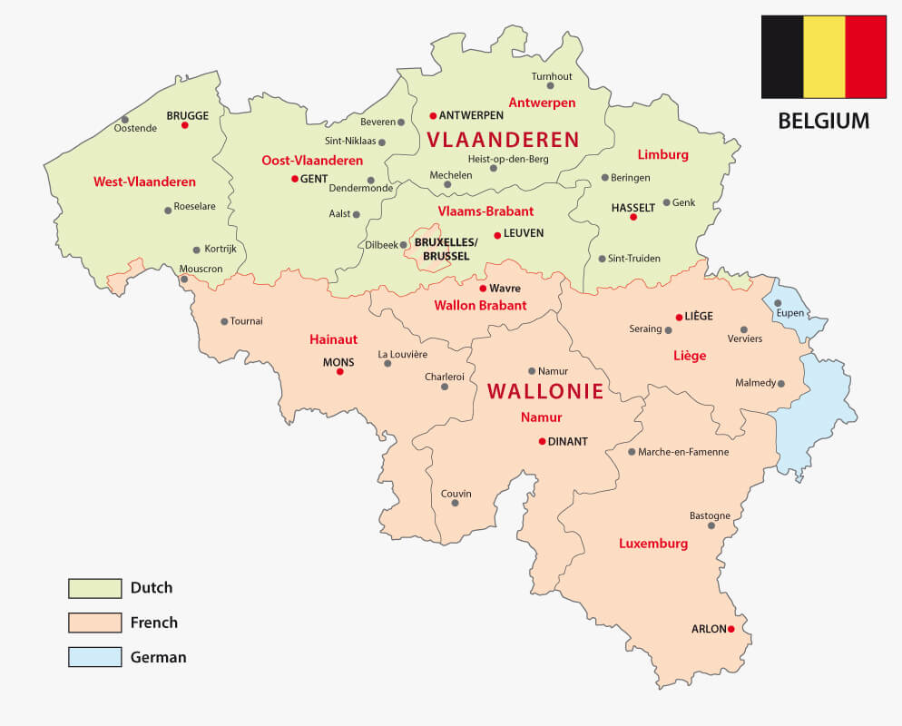
Map of the Belgian regions and language areas.
Netherlands, Belgium, Luxembourg Map
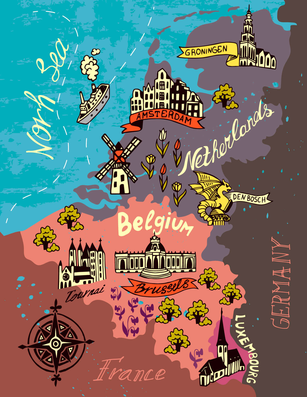
Illustrated map of the Netherlands, Belgium, Luxembourg.
Where is Belgium on the Europe Map?
Show Google map, satellite map, where is the country located.
Get directions by driving, walking, bicycling, public transportation and travel with street view.
Feel free to explore these pages as well:
- Belgium ↗️
- Belgium Map ↗️
- Map of Belgium ↗️
- Map of Europe ↗️
- Europe Map ↗️
- Discovering the Charms of Charleroi: A Hidden Gem in Belgium ↗️
- Belgium’s Largest and Top 10 Must-Visit Cities ↗️
- Brussels: The Heart of Europe and a Melting Pot of Cultures ↗️
- Bruges: A Timeless Tapestry of Culture and Charm ↗️
- Discovering the Heart of Europe: Top 10 Must-Visit Spots in Brussels ↗️
- Advertisement -