A collection maps of Pennsylvania; View a variety maps of Pennsylvania physical, political, relief map. Satellite image of Pennsylvania, higly detalied maps, blank map of Pennsylvania, USA and Earth. And find more Pennsylvania’s country, regions, topography, cities, road, rivers, national, directions maps and United States atlas.
Philadelphia Map, Pennsylvania
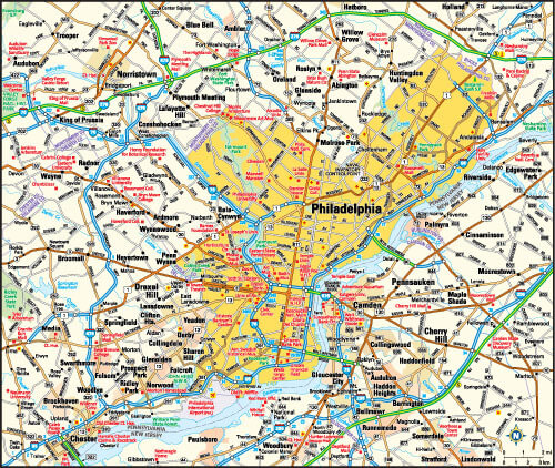
Philadelphia, Pennsylvania area map, United States of America.
Pennsylvania Road Map
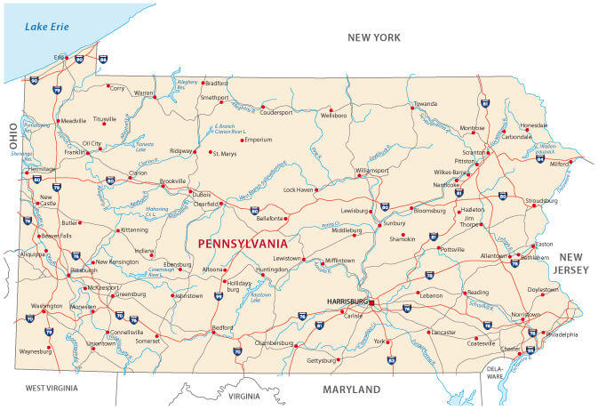
Pennsylvania road map with state rivers and interstates.
Pennsylvania Blank Map
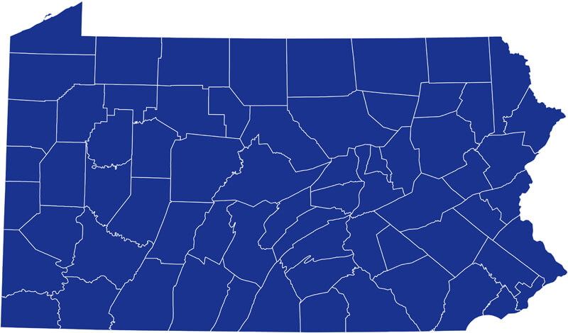
Pennsylvania Blank Map, US.
Map of Pennsylvania State
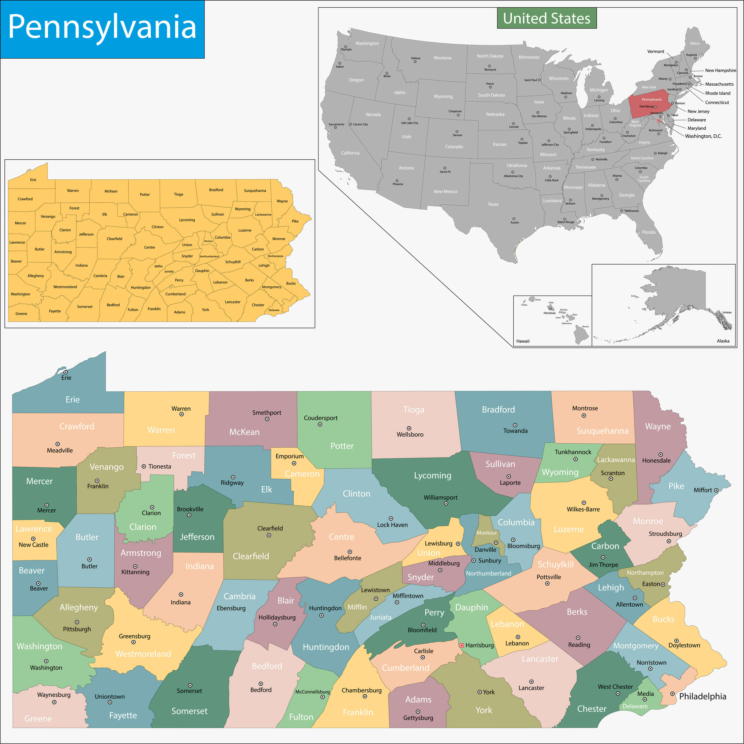
Map of Pennsylvania state designed in illustration with the counties and the county seats.
Pennsylvania Blank Map, United States
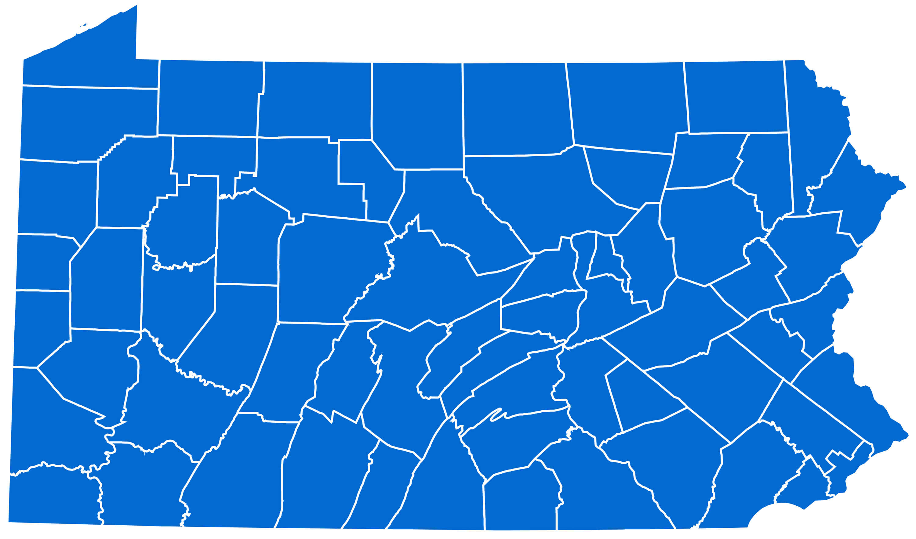
Pennsylvania Blank Map, United States.
Pennsylvania Map, US
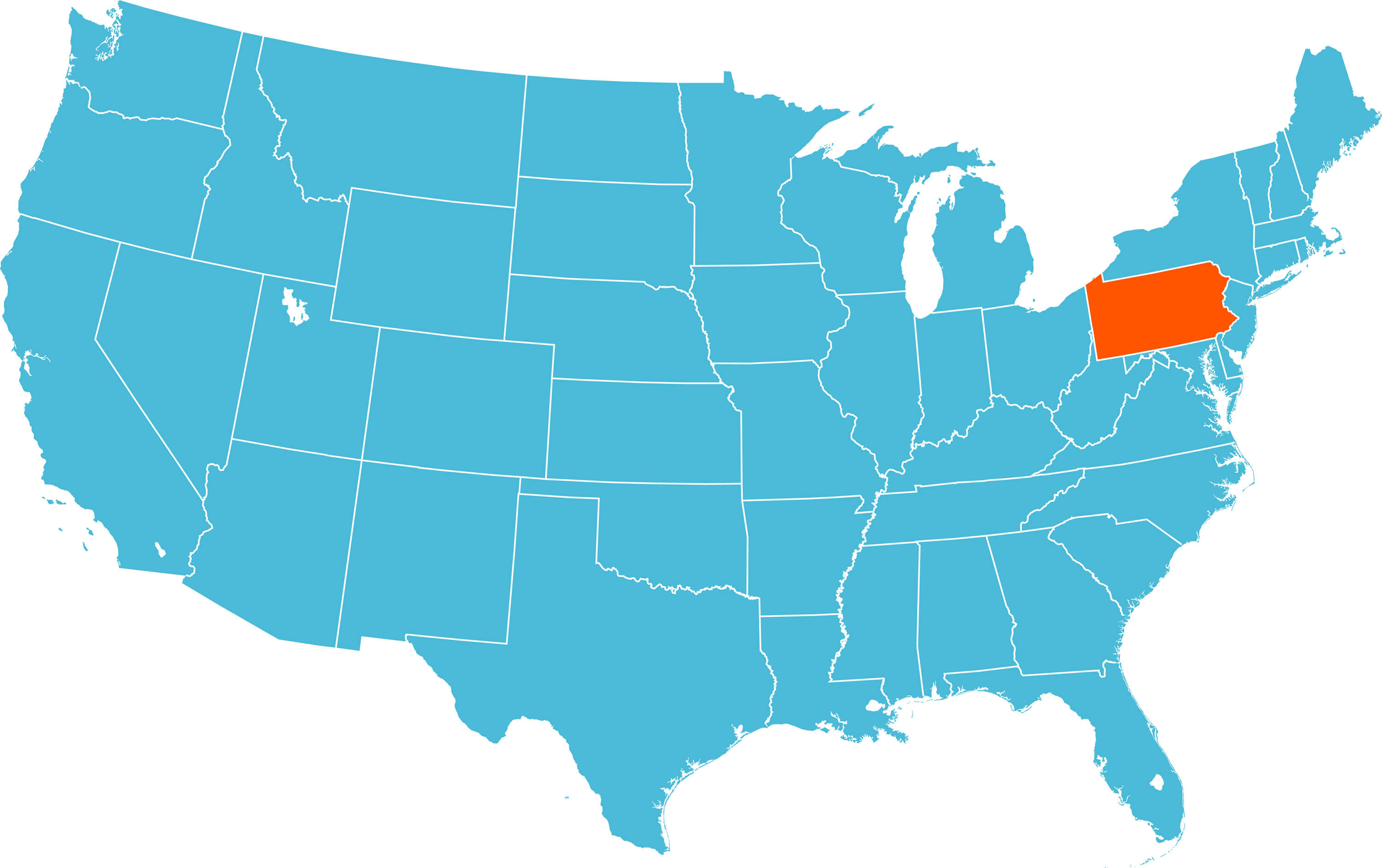
Pennsylvania Map with US states.
Pennsylvania Maps and Photos
- Please Click for more Pennsylvania Map
- Please Click for more Info About Map of Pennsylvania
- Please Click for more About Pennsylvania
- Please Click for more Pennsylvania Photos
Where is Pennsylvania on the US Map?
Show Google interactive map, satellite map, where is the country located.
Get directions by driving, walking, bicycling, public transportation and travel with street view.
Feel free to explore these pages as well:
- 2024 US Presidential Election Swing States by Maps ↗️
- California Map ↗️
- Texas Map ↗️
- New York Map ↗️
- Florida Map ↗️
- Illinois Map ↗️
- Pennsylvania Map ↗️
- Ohio Map ↗️
- Michigan Map ↗️
- Georgia Map ↗️
- New Jersey Map ↗️
- North Carolina Map ↗️
- Virginia Map ↗️
- Massachusetts Map ↗️
- Indiana Map ↗️
- Tennessee Map ↗️
- Arizona Map ↗️
- Missouri Map ↗️
- Maryland Map ↗️
- Washington Map ↗️
- Minnesota Map ↗️
- Colorado Map ↗️
- Alabama Map ↗️
- Louisiana Map ↗️
- South Carolina Map ↗️
- Kentucky Map ↗️
- Oregon Map ↗️
- Oklahoma Map ↗️
- Connecticut Map ↗️
- Iowa Map ↗️
- Mississippi Map ↗️
- Arkansas Map ↗️
- Kansas Map ↗️
- Utah Map ↗️
- Nevada Map ↗️
- District of Columbia Map ↗️
