- Advertisement -
Explore a diverse collection of Asia maps including satellite images, night views, topographic maps, Earth plate maps, and detailed regional maps such as South East Asia, the Indochina Peninsula, and the Himalayas. Discover Asia from space and gain insights into boundaries, reliefs, and geographic features.
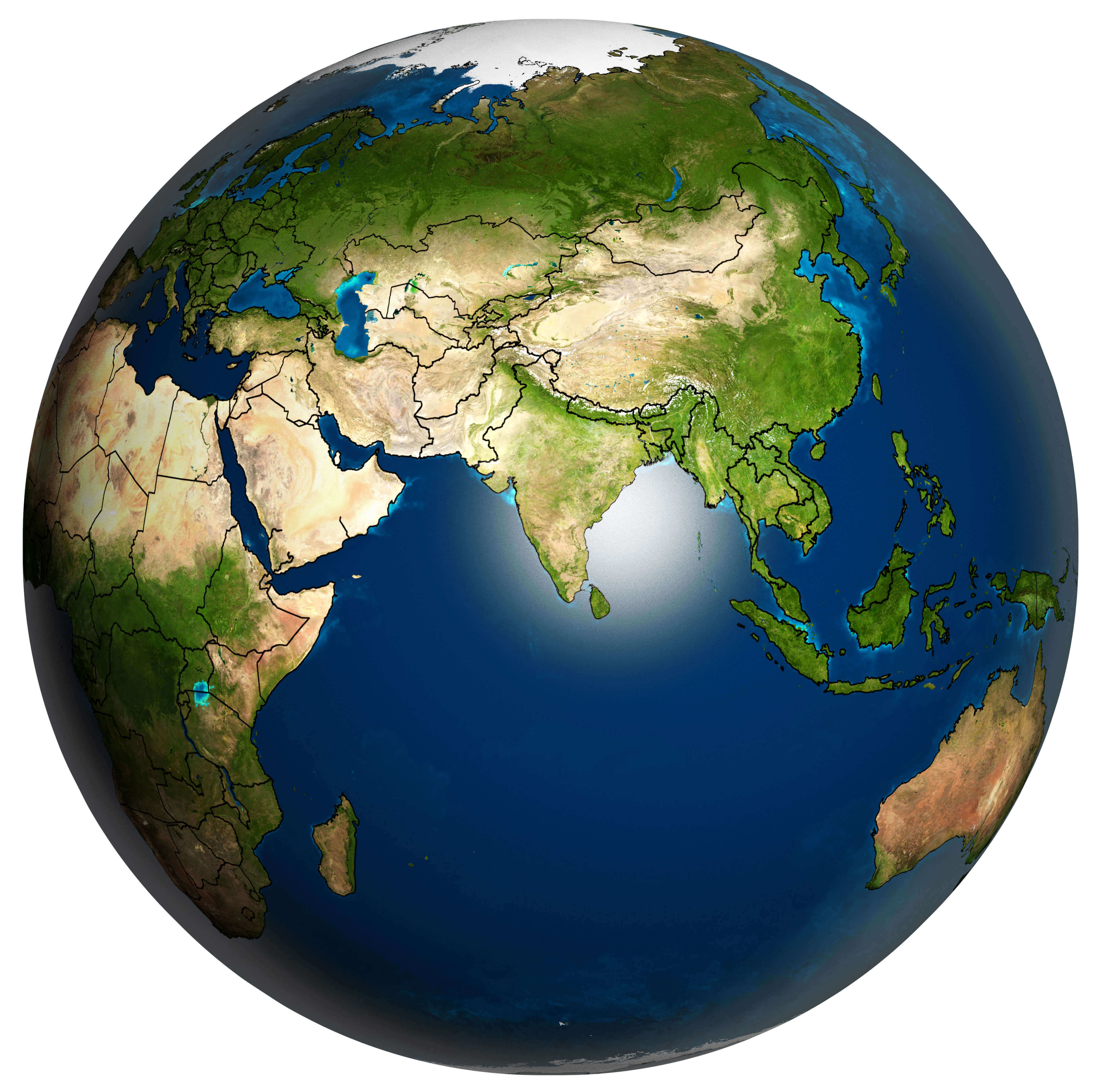
Asia and the Earth planet map
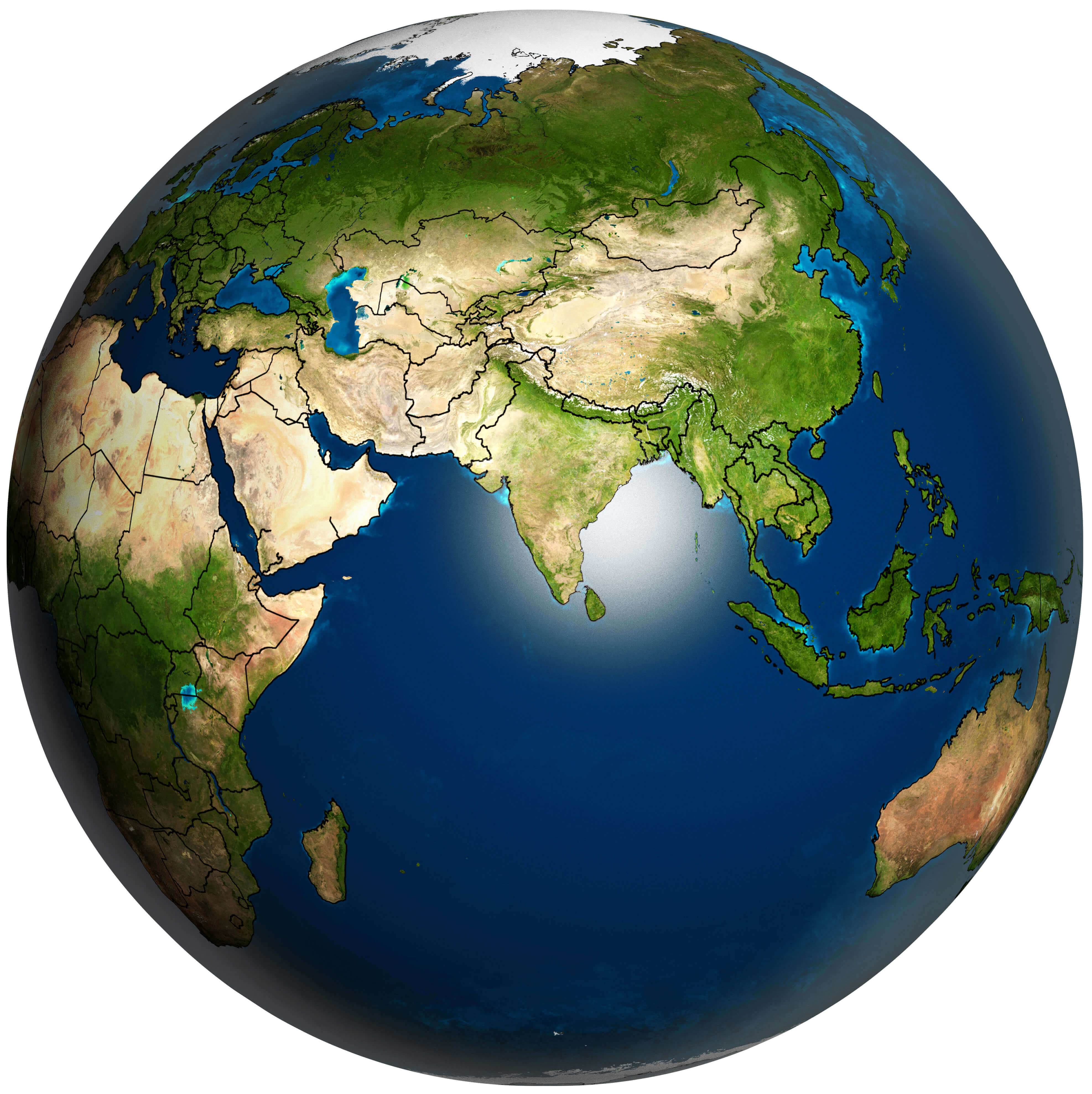 Asia and Earth planet map showing topography, borders, and surrounding oceans.
Asia Satellite View: A Stunning Glimpse from Space
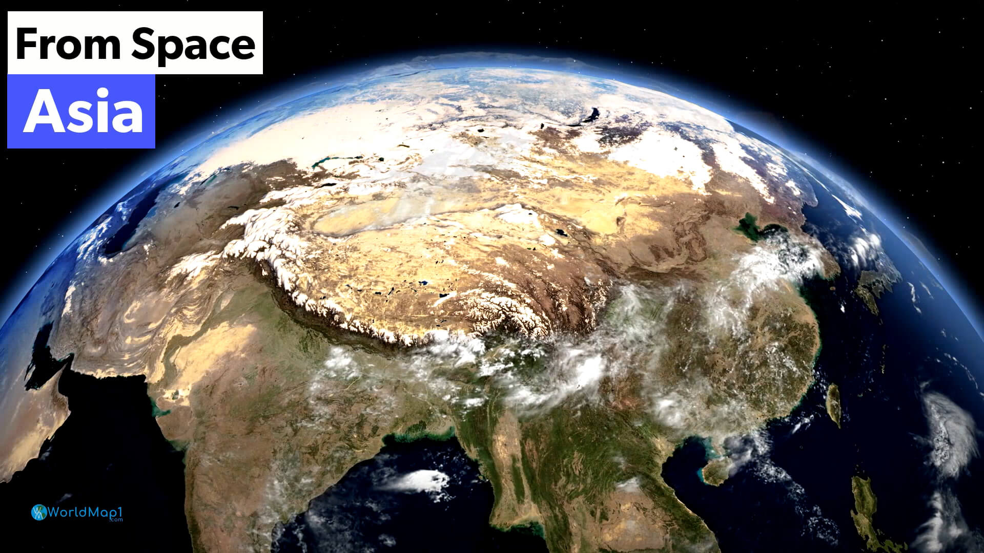 Satellite image of Asia showing clouds, terrain, and natural landscapes
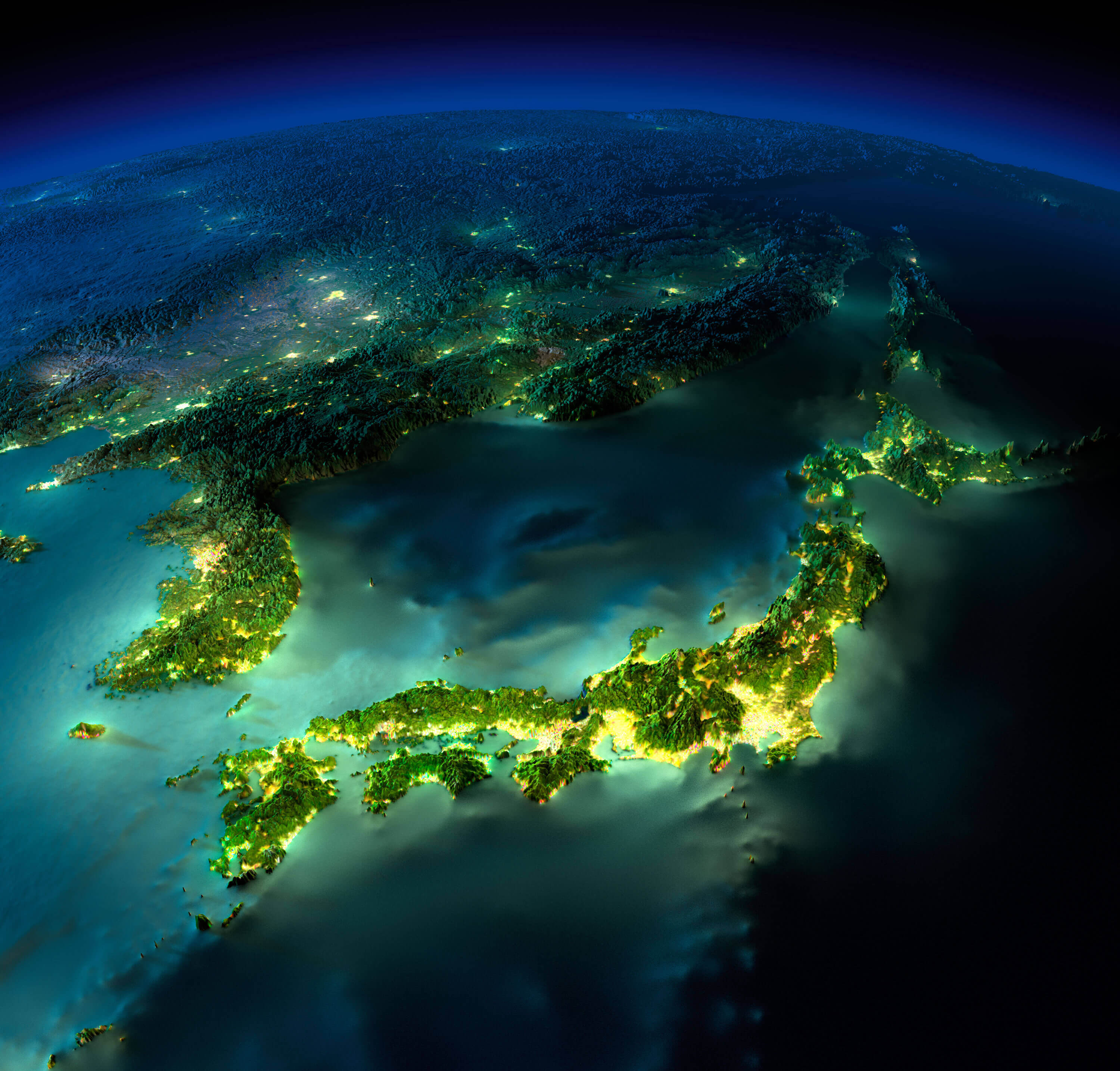
Asia at Night: A Detailed Earth Map Illuminated from Space
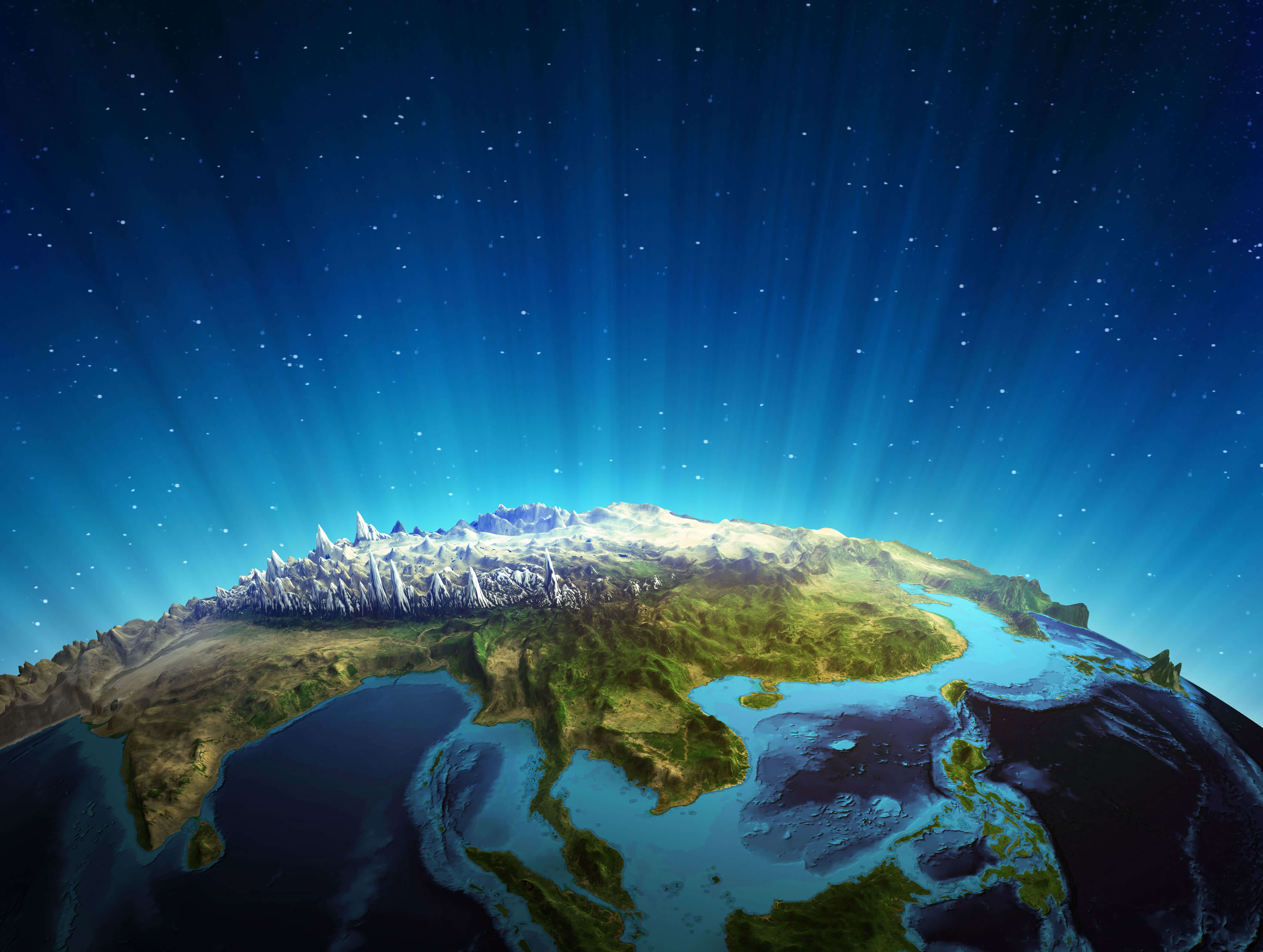
Asia and Himalayas from space
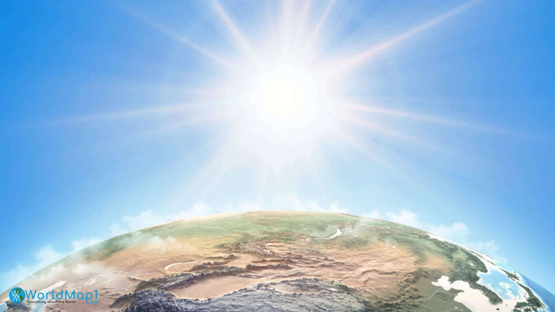
Asia satellite image map
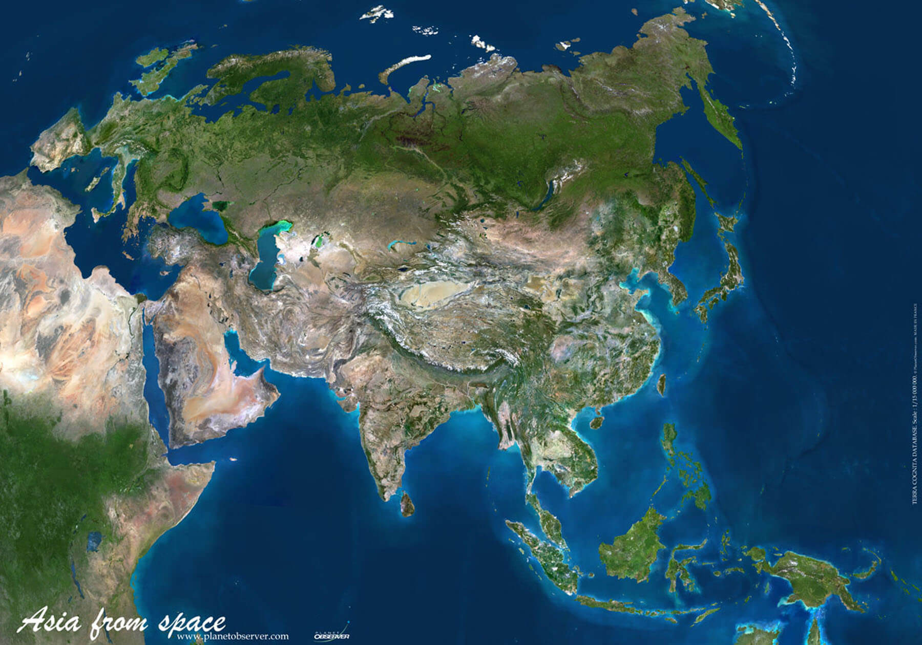
Asia Earth plate map
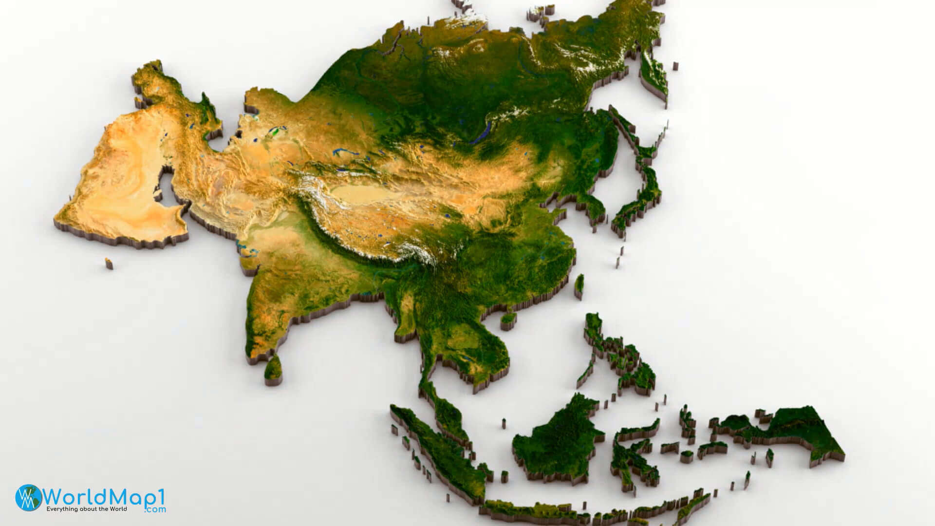
Asia from space
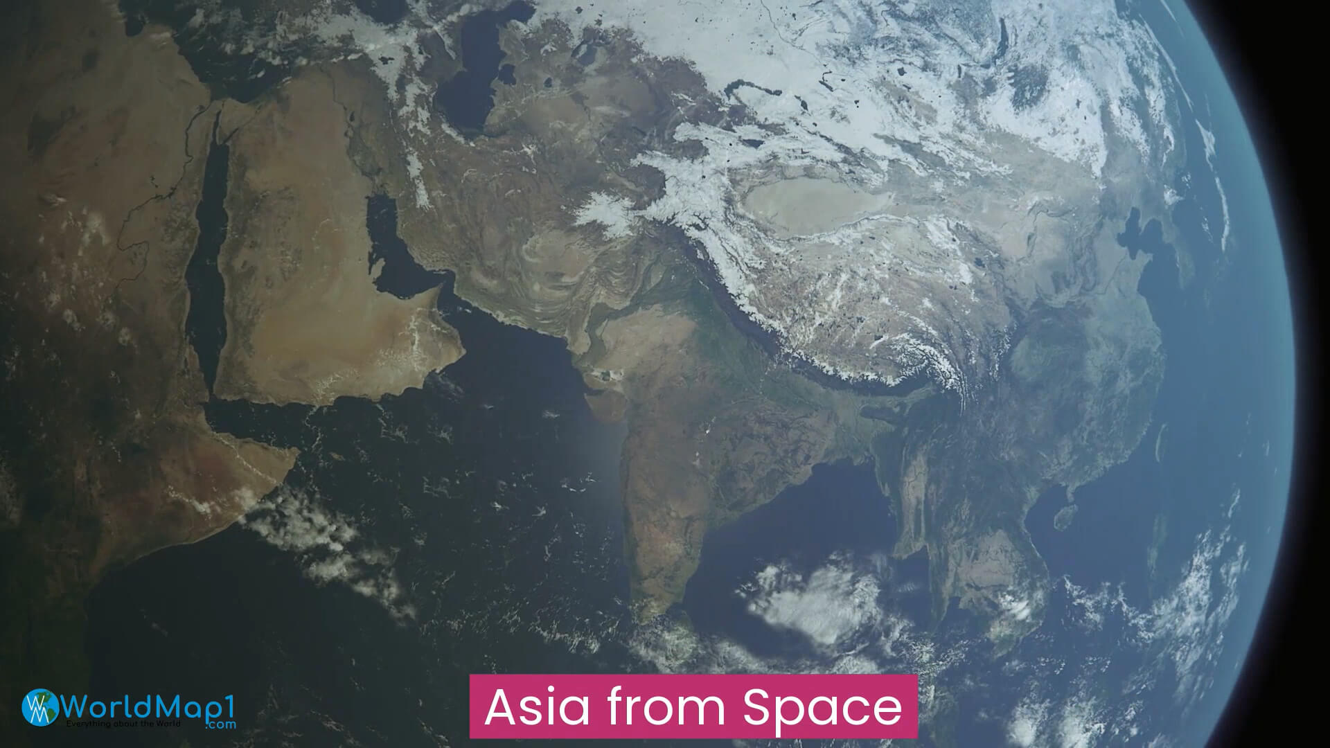
Asia in the night from space
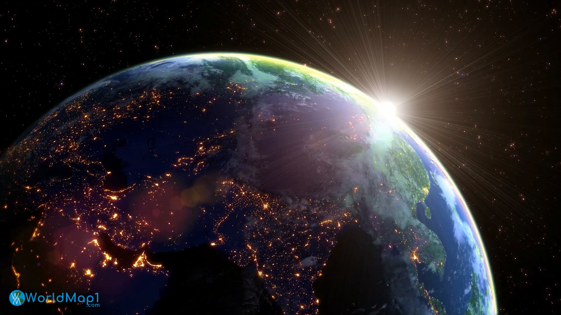
Asia planet night map
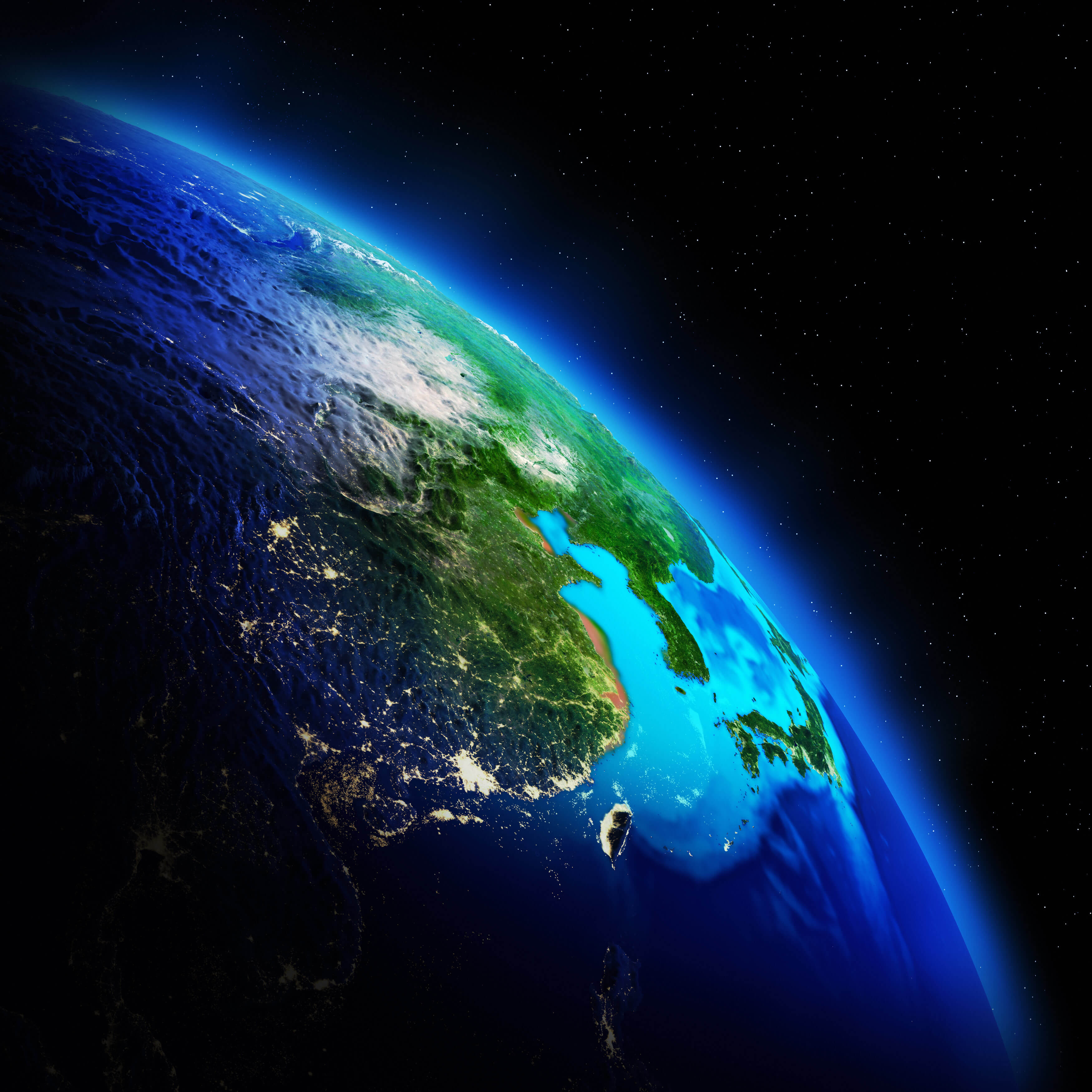
Asia satellite map
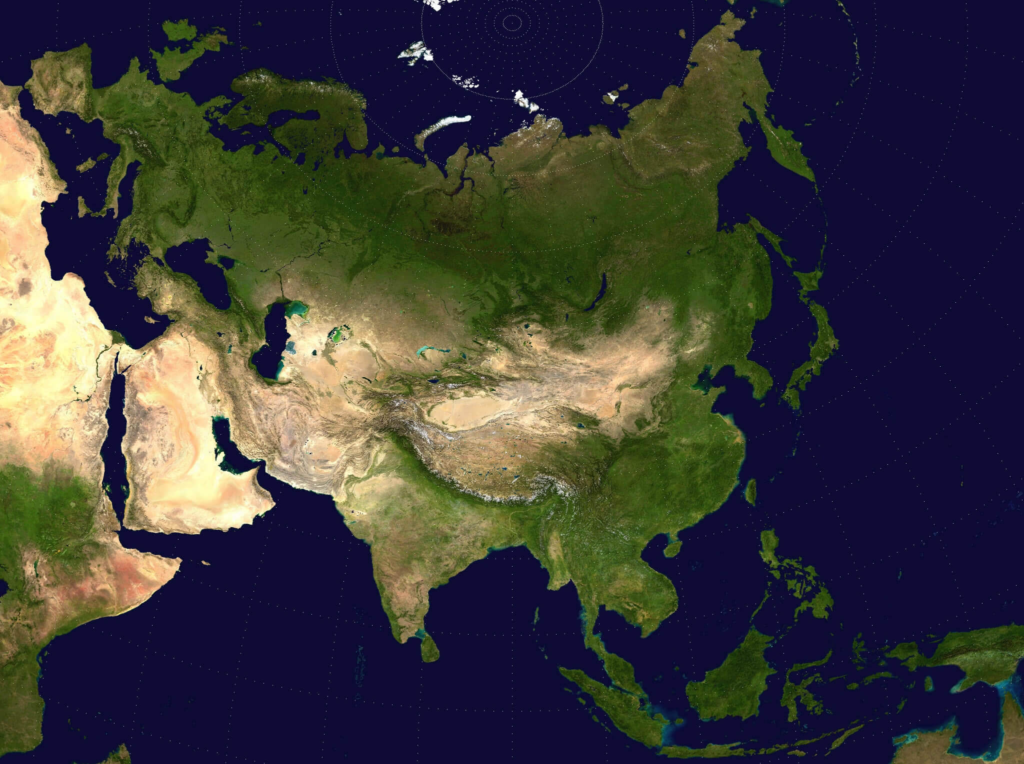
Australia and Asia the Earth map
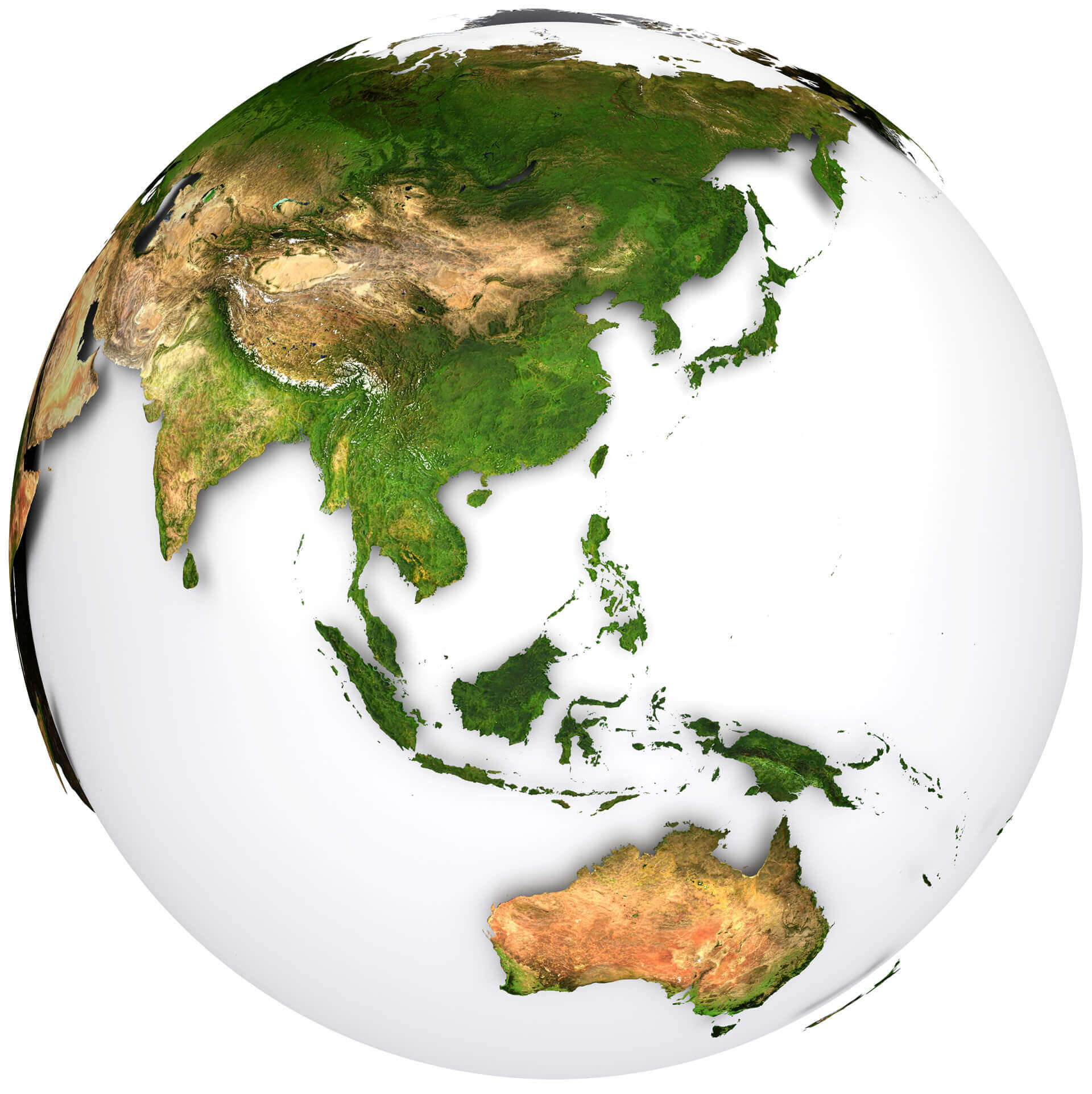
Detailed topography map of Asia
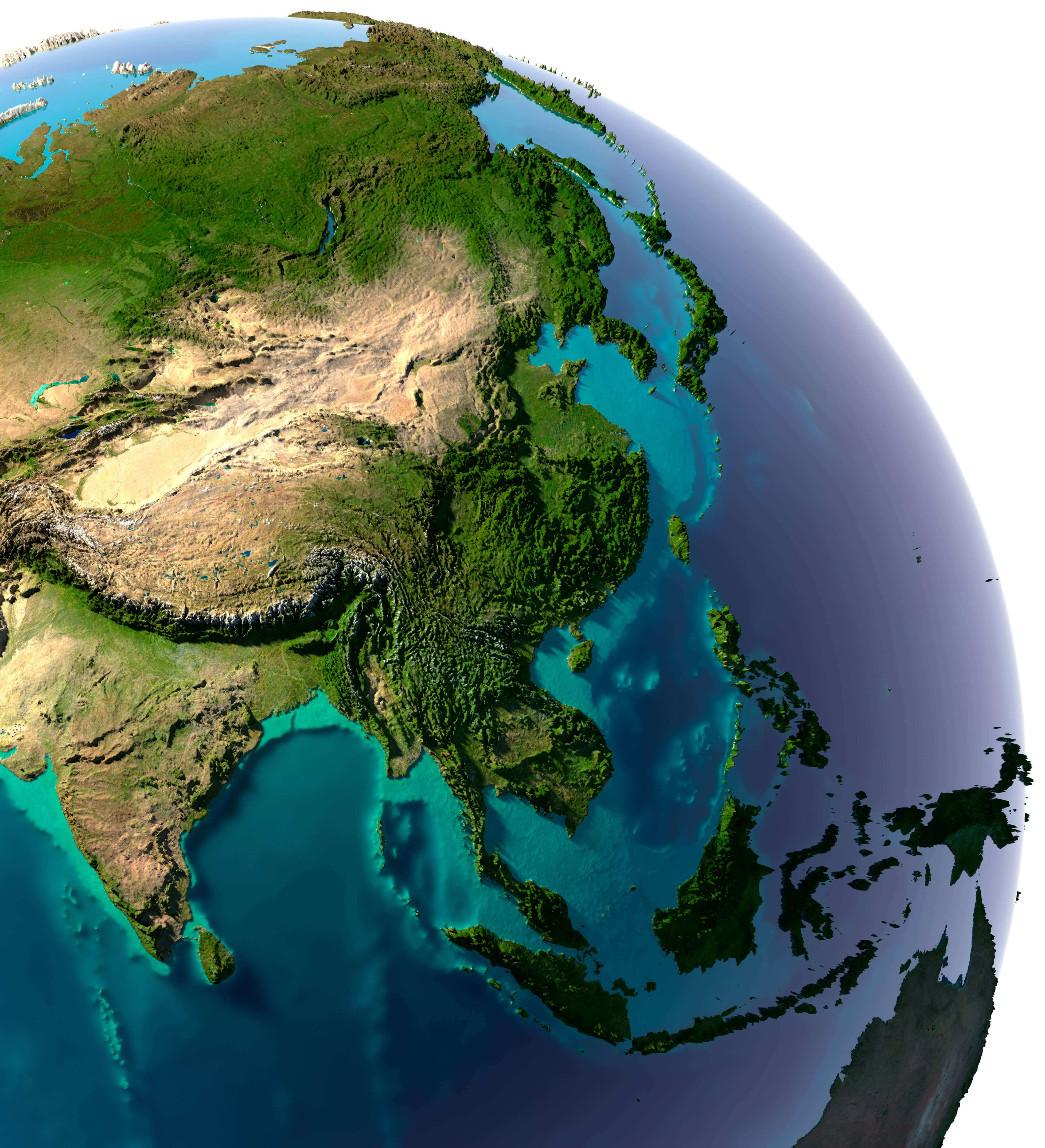
Earth Asia country boundaries map
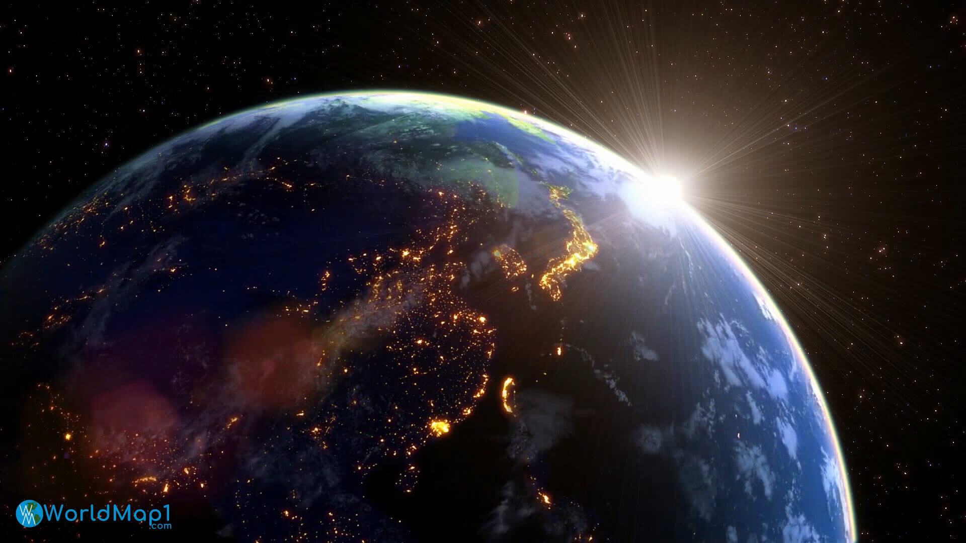
East Asia in the night from space
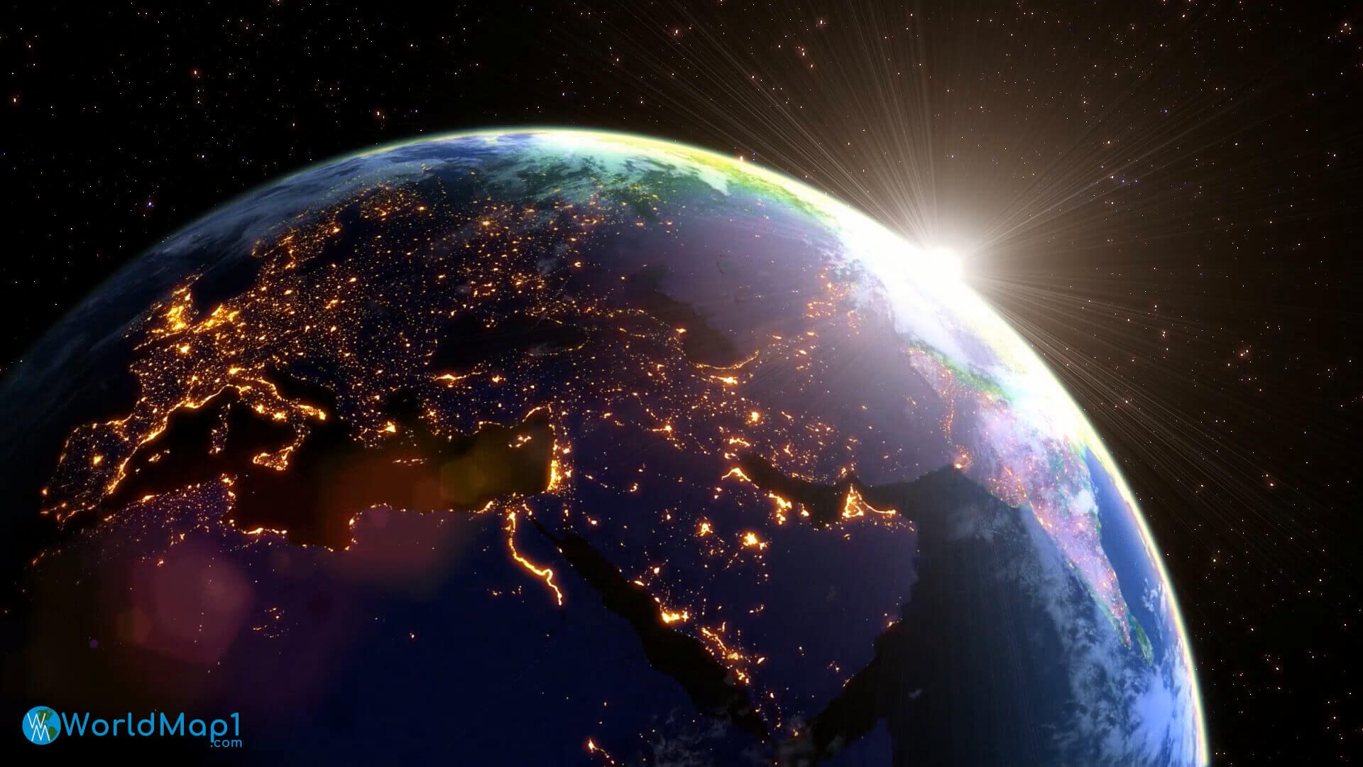
Europe Asia in the night from space
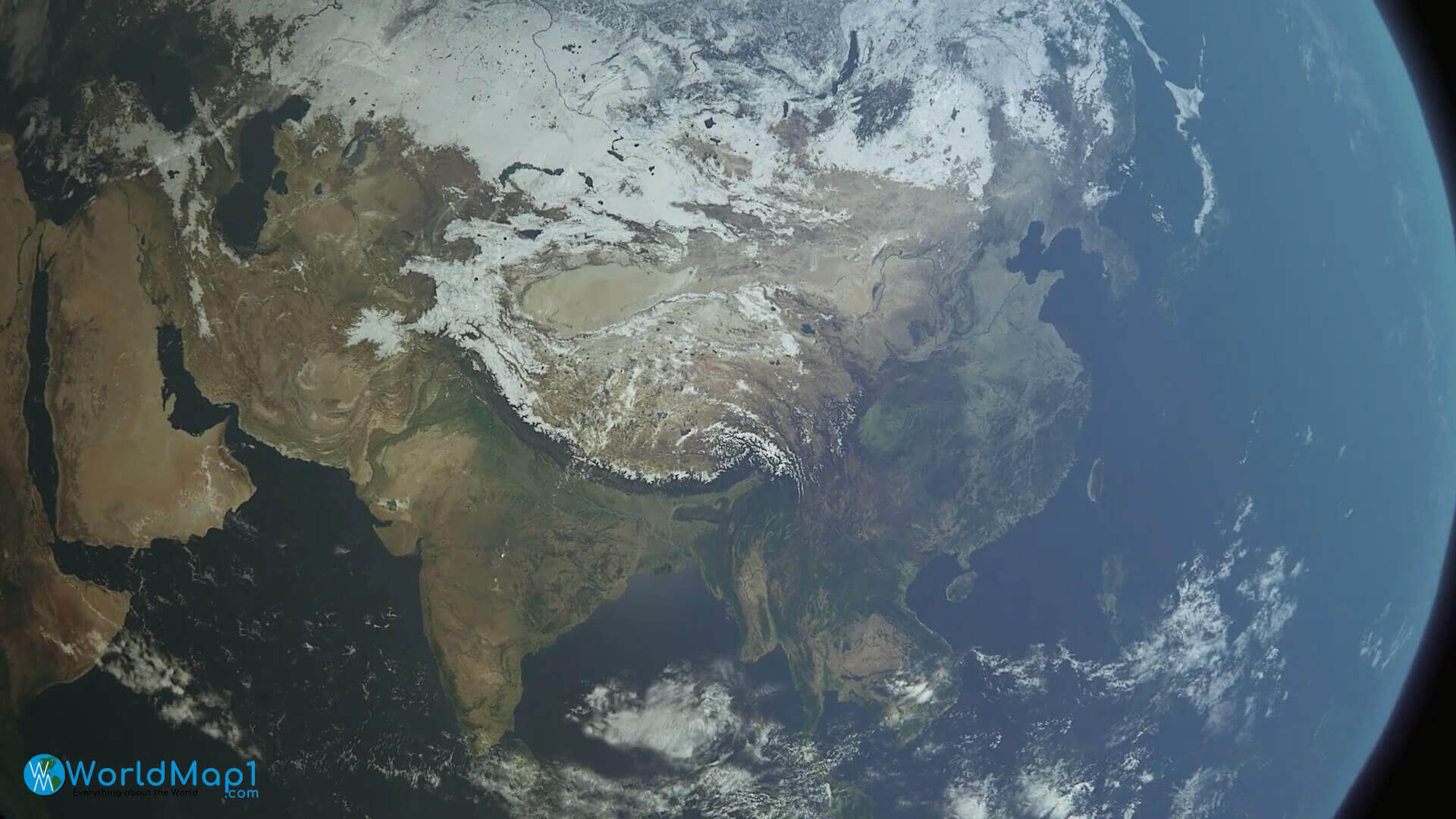
Far East Asia from space
Indochina Peninsula satellite map
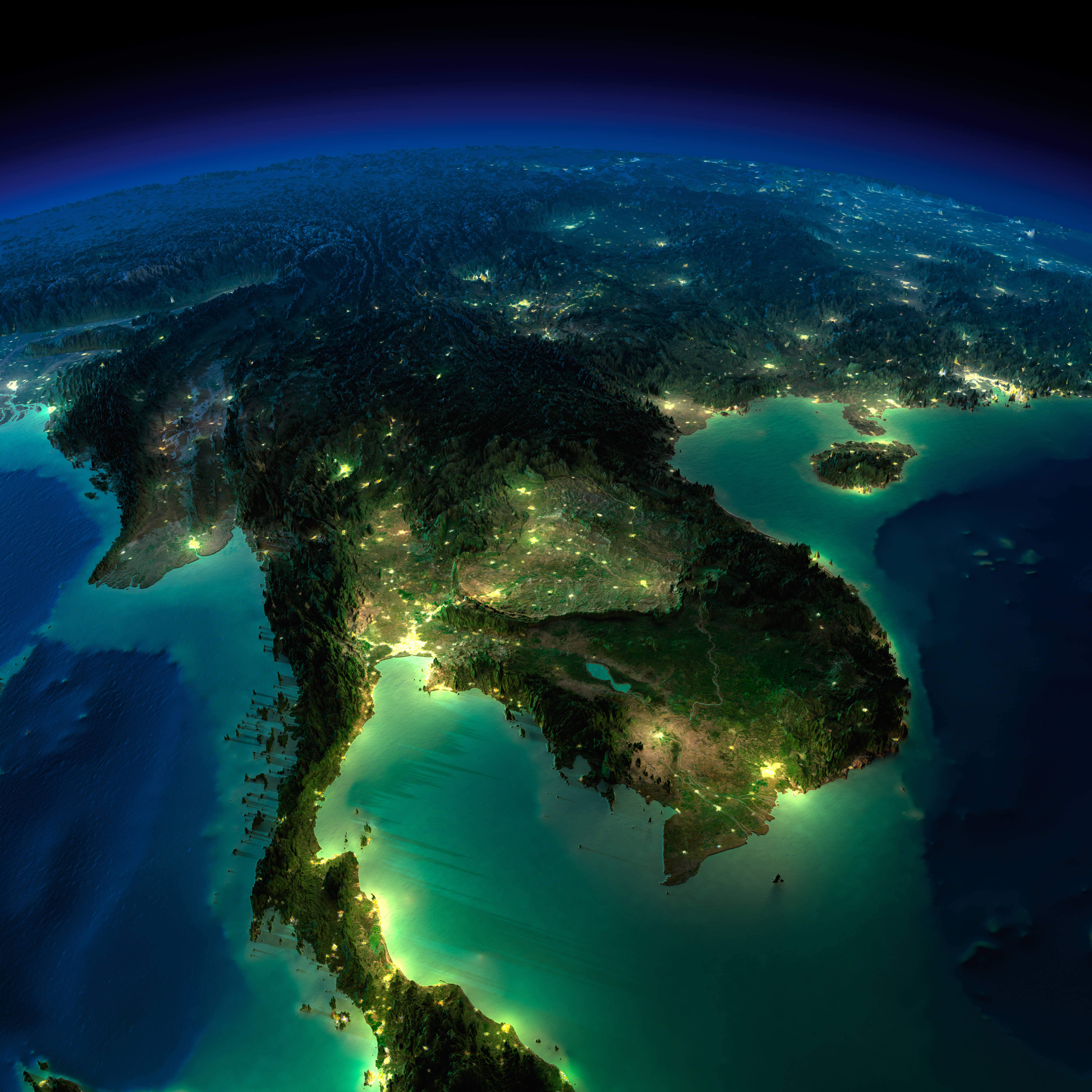
Satellite map of South Asia
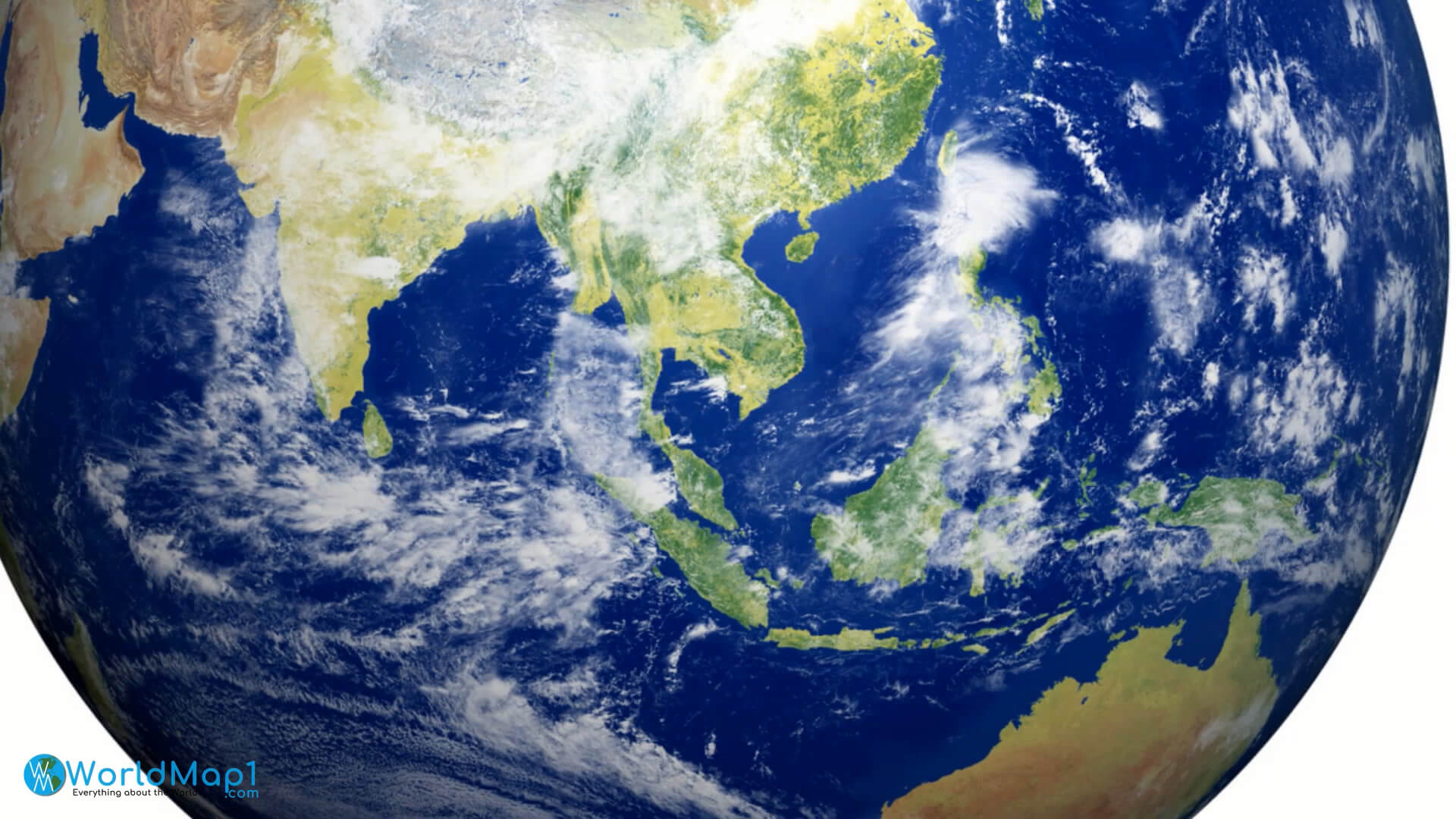
Satellite view of Asia
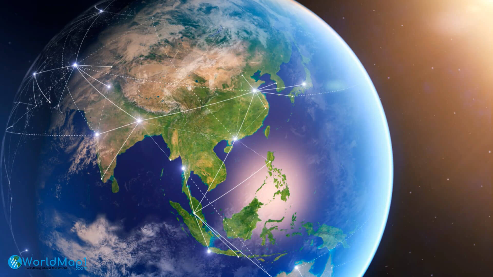
South East Asia and Oceania satellite map
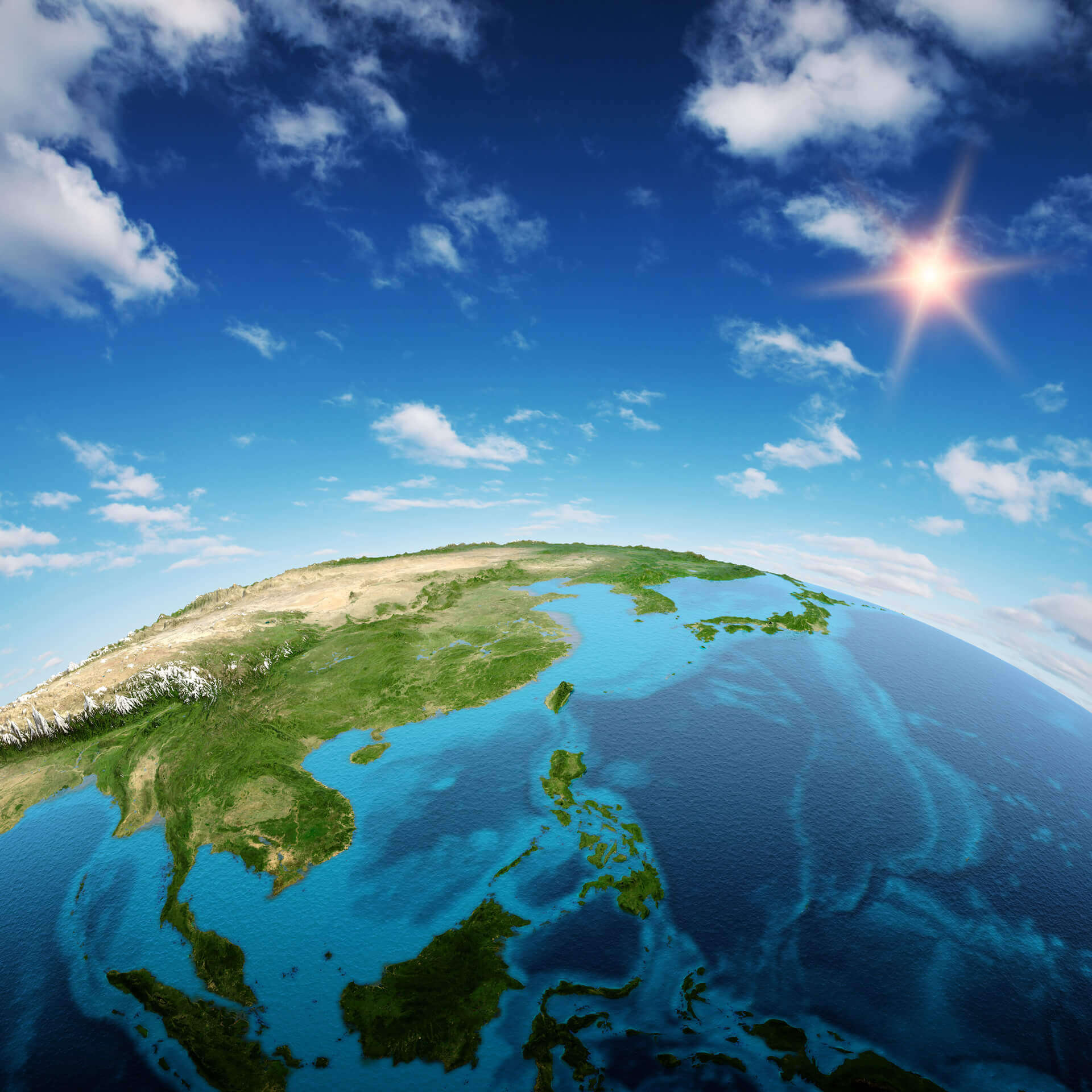
South East Asia real relief satellite map
Where is Asia on the World Map?
Show Google Interactive Maps and satellite maps of where the country is located.
Get directions by driving, walking, bicycling, public transportation and travel with street view.
Feel free to explore these pages as well:
- Asia Map ↗️
- Map of Asia ↗️
- Asia Countries Map ↗️
- Asia Cities Map ↗️
- Asia High-resolution Map ↗️
- Asia Political Map ↗️
- Asia Road Map ↗️
- Asia Historical Map ↗️
- Asia Population Map ↗️
- Asia Physical Map ↗️
- Asia Religion Map ↗️
- Asia Topographic Map ↗️
- Asia Time Zone Map ↗️
- A Collection of Asia Maps ↗️
- About Asia and Maps ↗️
- A Collection of China Maps ↗️
- Thailand Map ↗️
- India Map ↗️
- Pakistan Map ↗️
- Indonesia Map ↗️
- Iran Map ↗️
- A Collection of Bangladesh Maps ↗️
- Advertisement -
