- Advertisement -
Explore detailed population, religion, and ethnic maps of Asia, including population density maps of India, Pakistan, and Southeast Asia, census-based religious distribution, and ethnic regions like the Caucasus. Also view blank Asia maps, political divisions, flags, and regional overviews.
Asia Population Density Map: Understanding Regional Population Concentrations
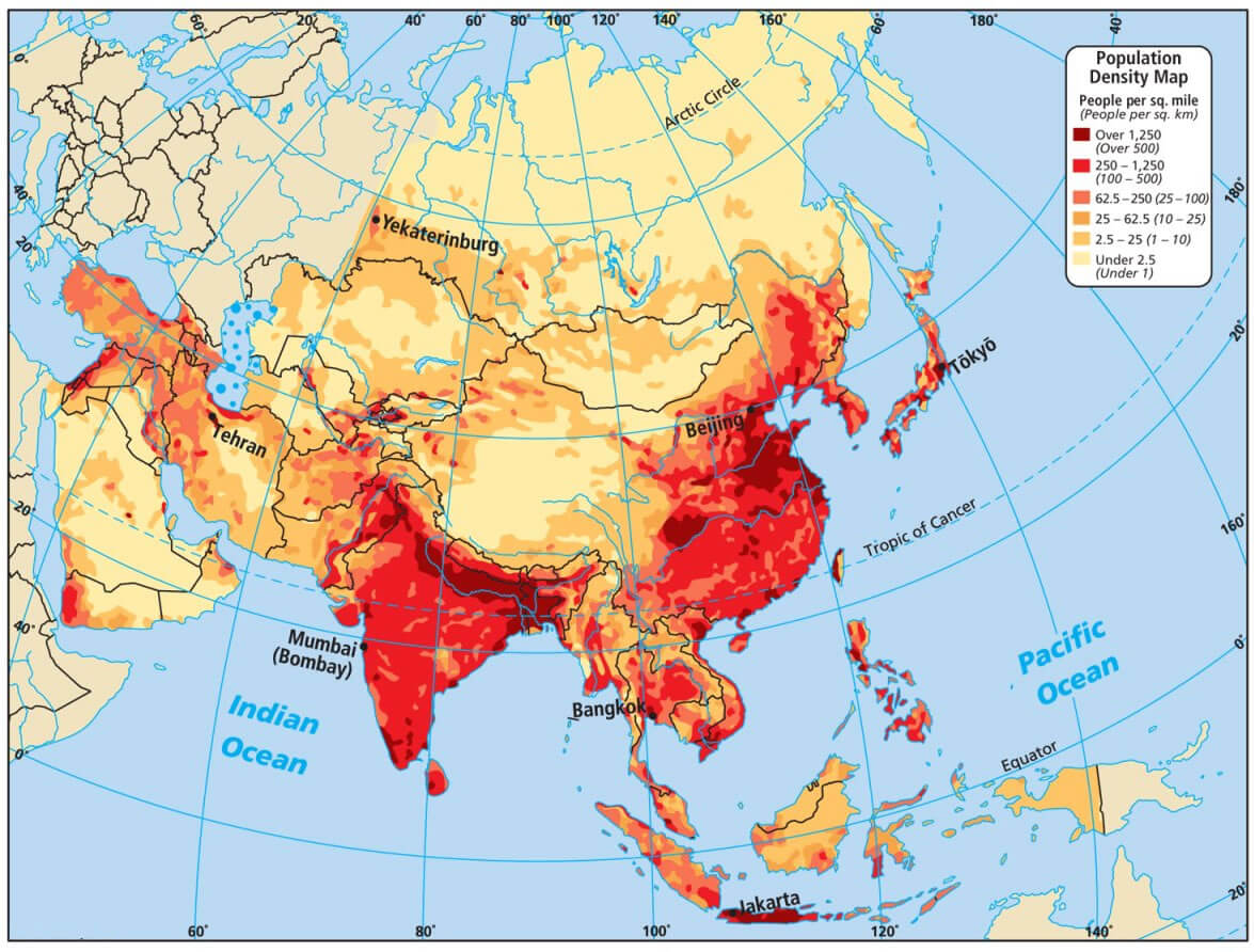
Muslim Population Distribution in Asia circa 1930
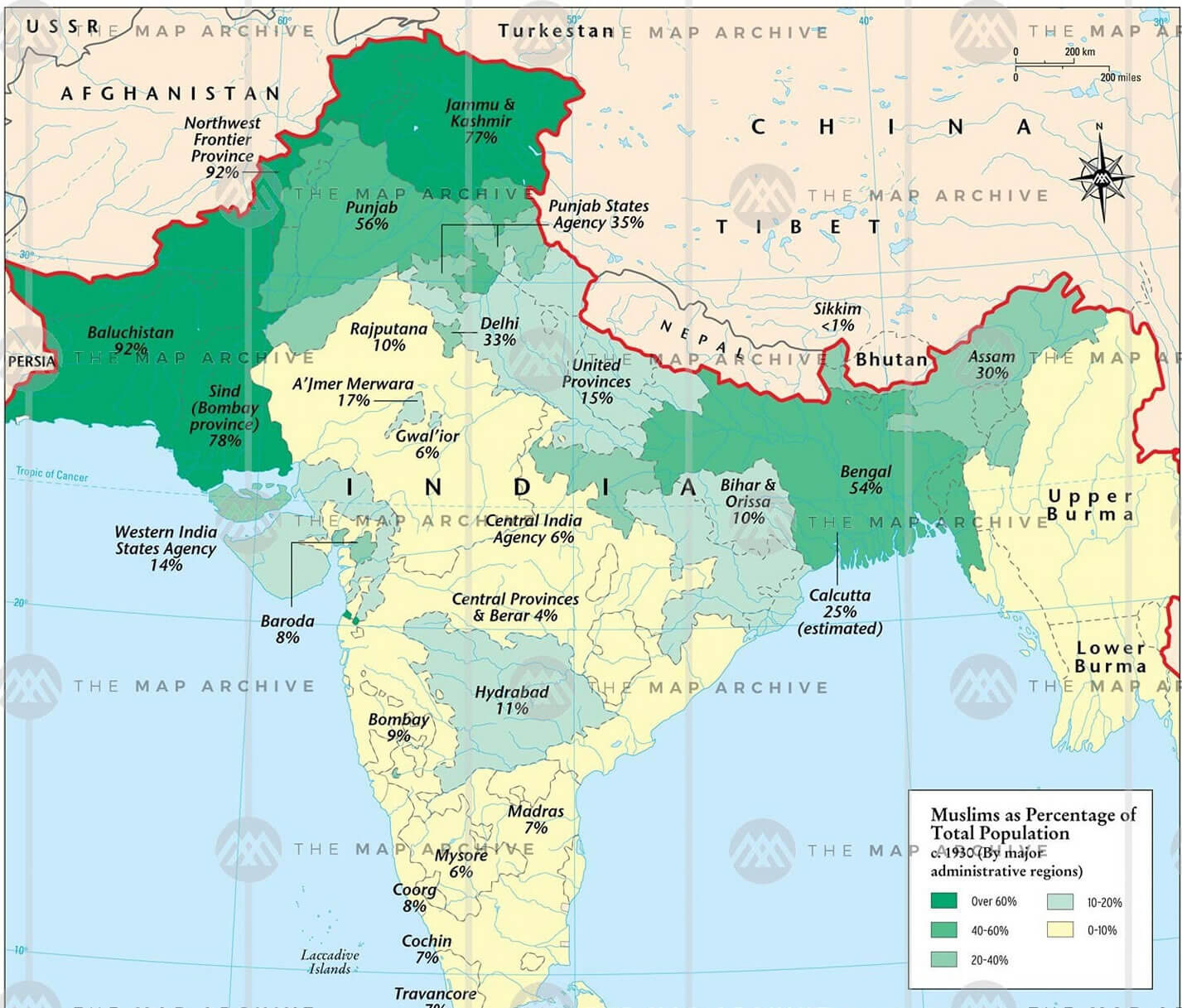 Map showing Muslim population percentage across South Asia around the year 1930.
Asia India Pakistan population density map
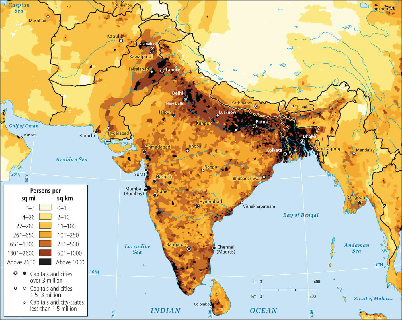
Asia population map
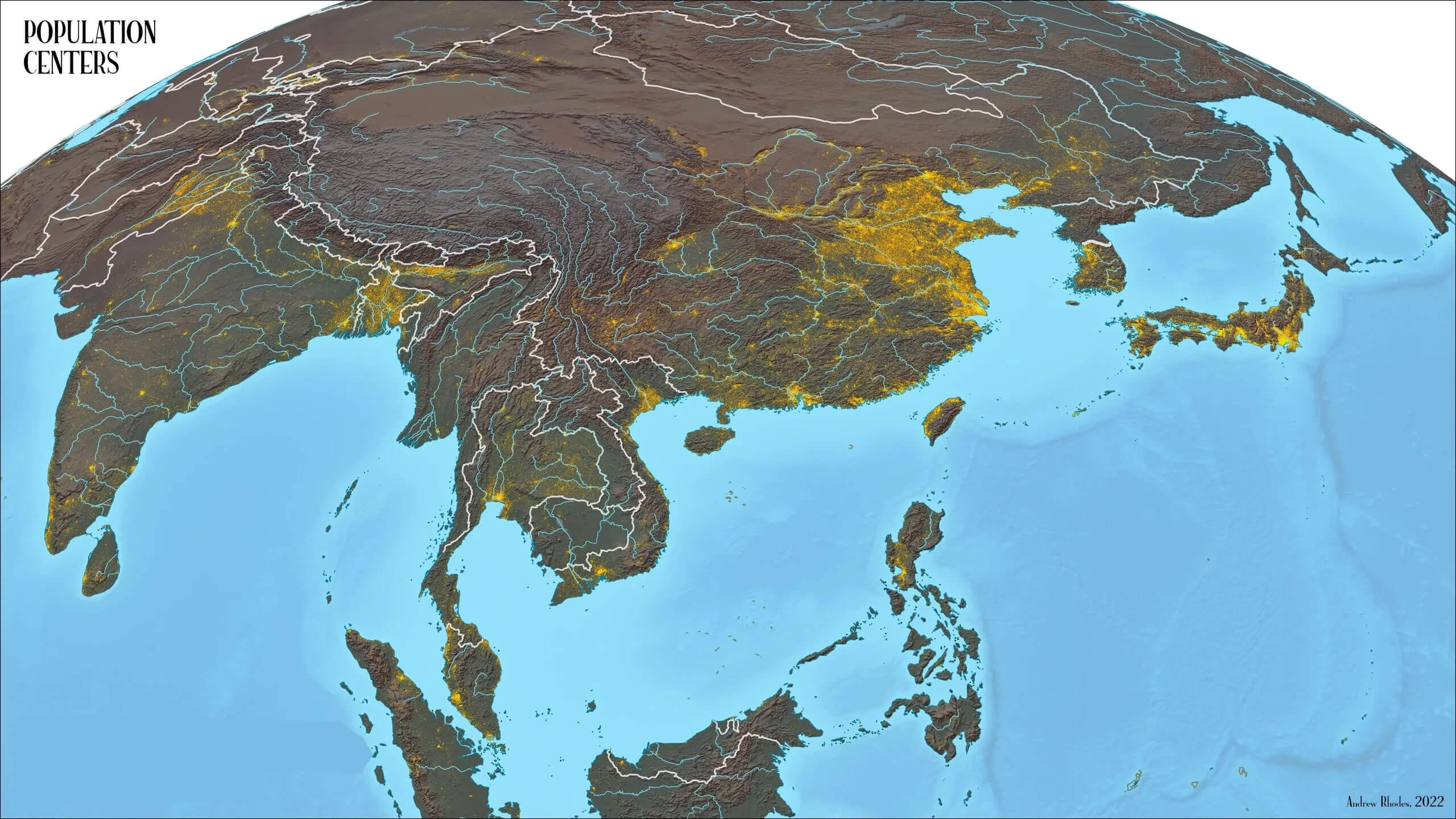
Asia religion data of census map
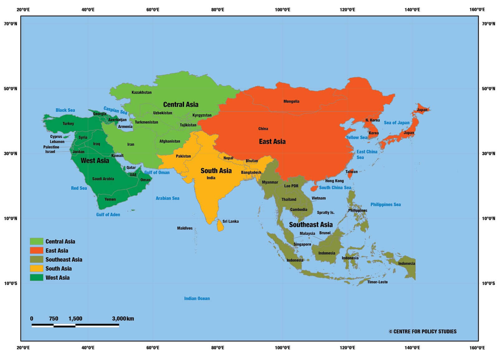
Asian countries population density map
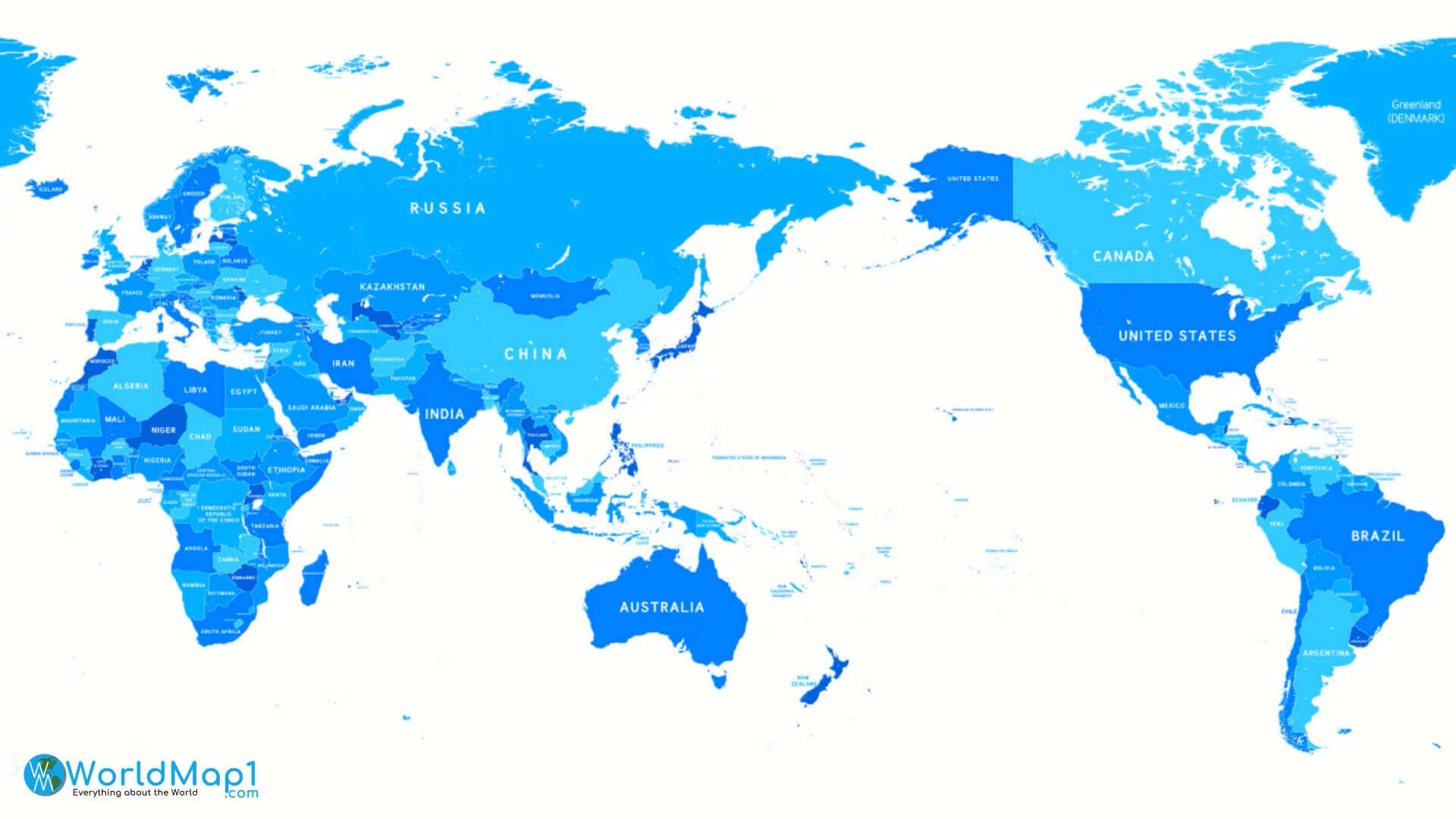
Blank Asia map with the World in blue color
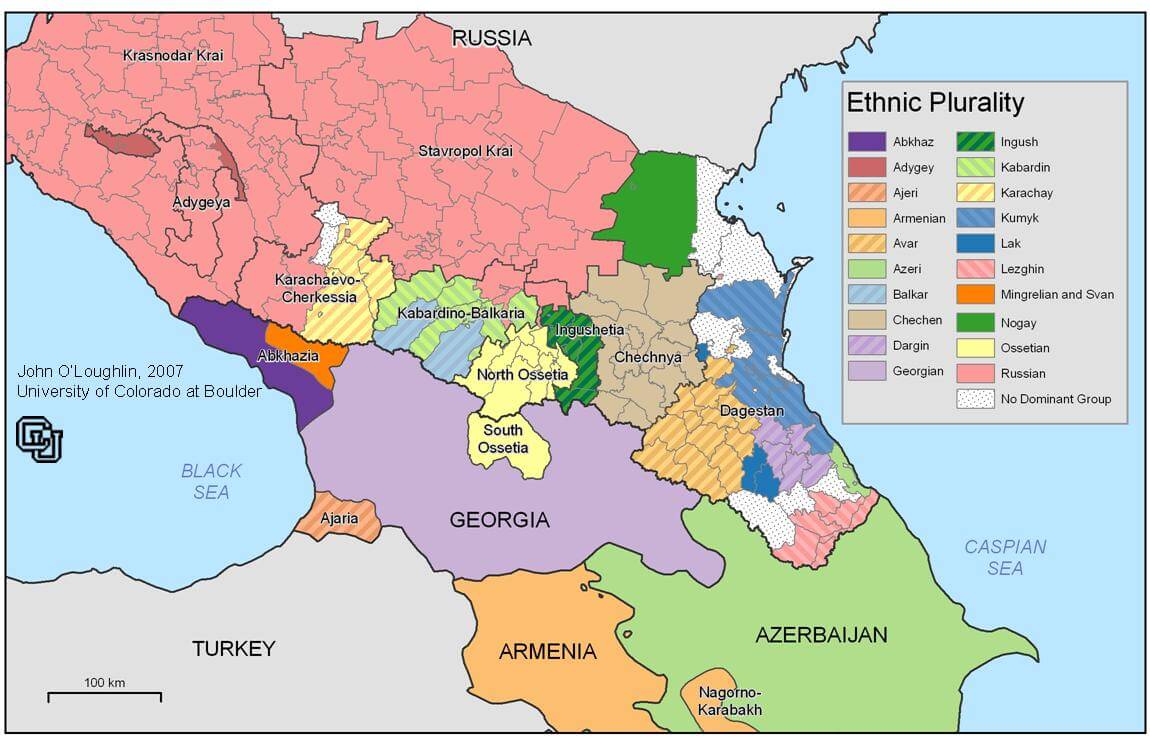
Caucusus ethnic map
China provinces map in Asia

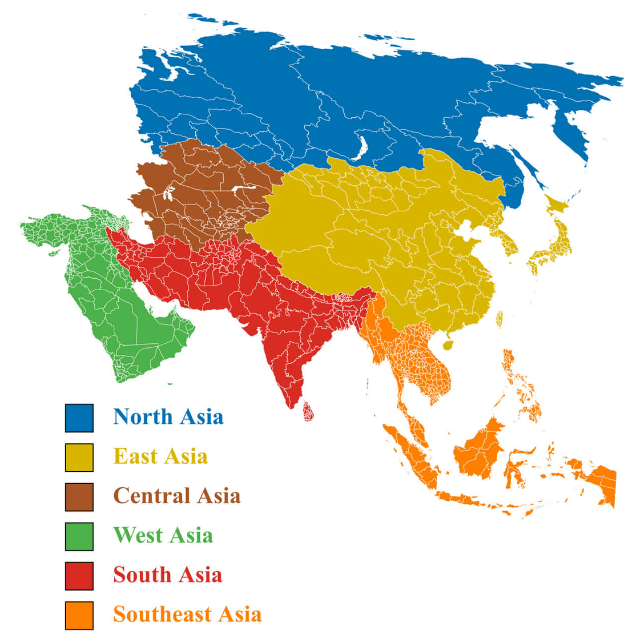
Detailed map of Asian regions
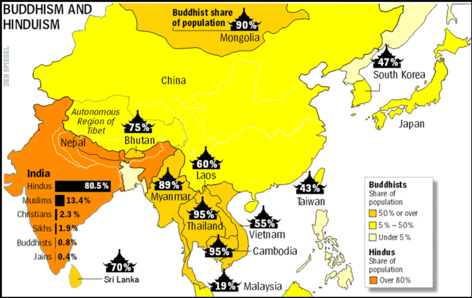
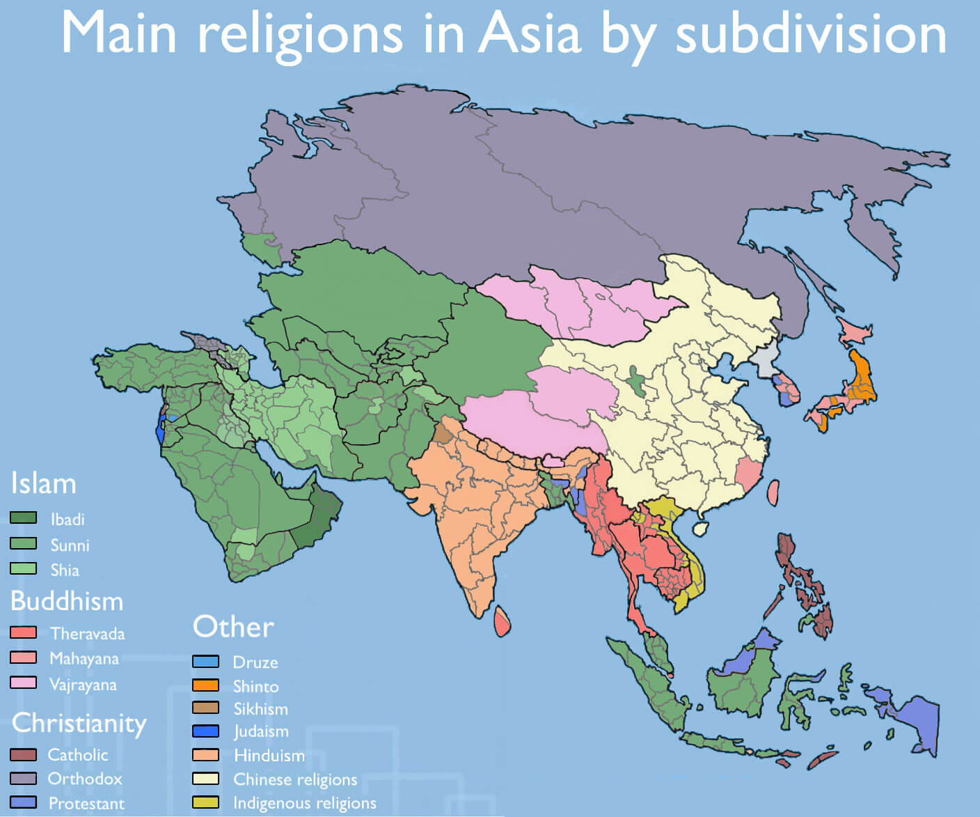
Main religions map in Asia by subdivisions
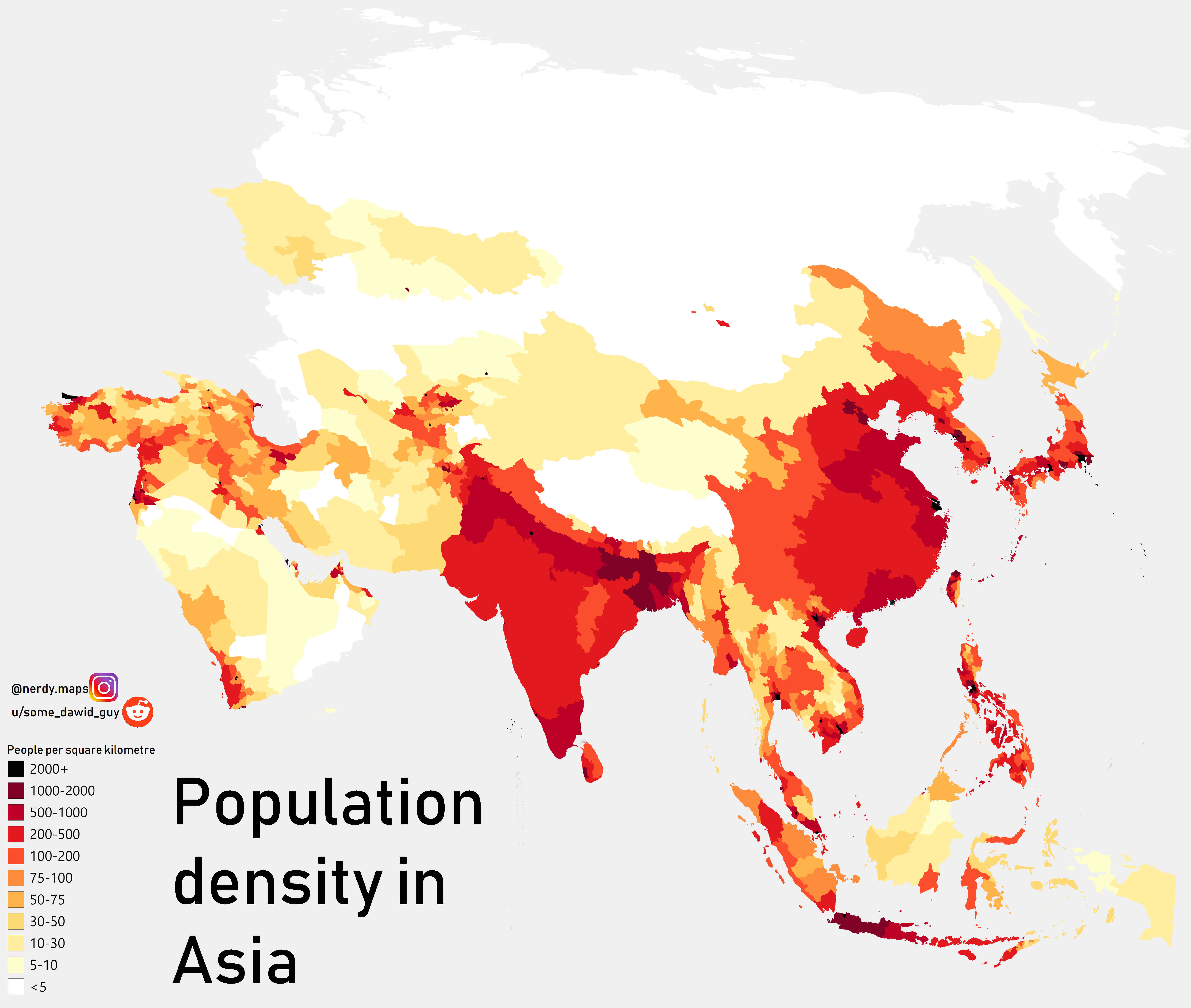
Population density map in Asia
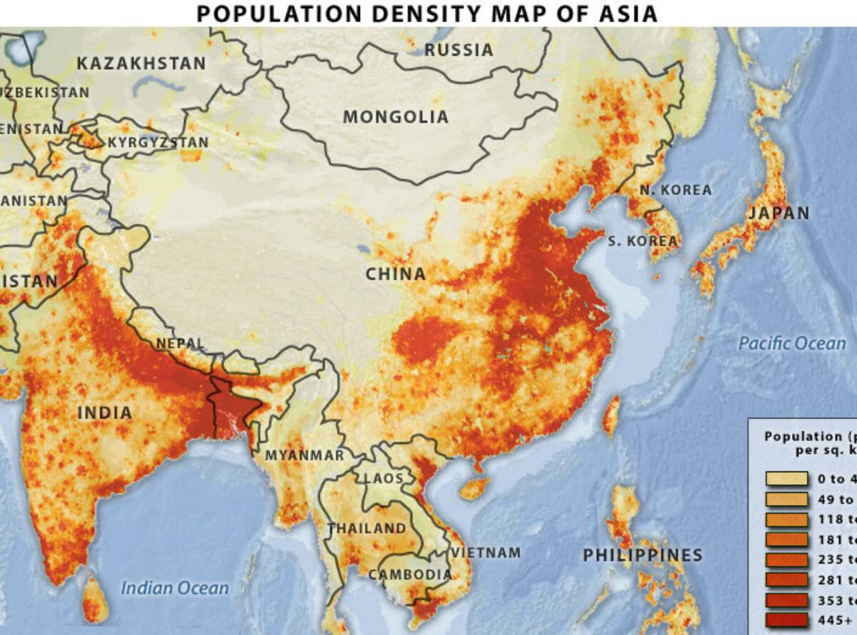
Population density map of Asia
Religions of southeast Asia map

World and Asian countries map with flags
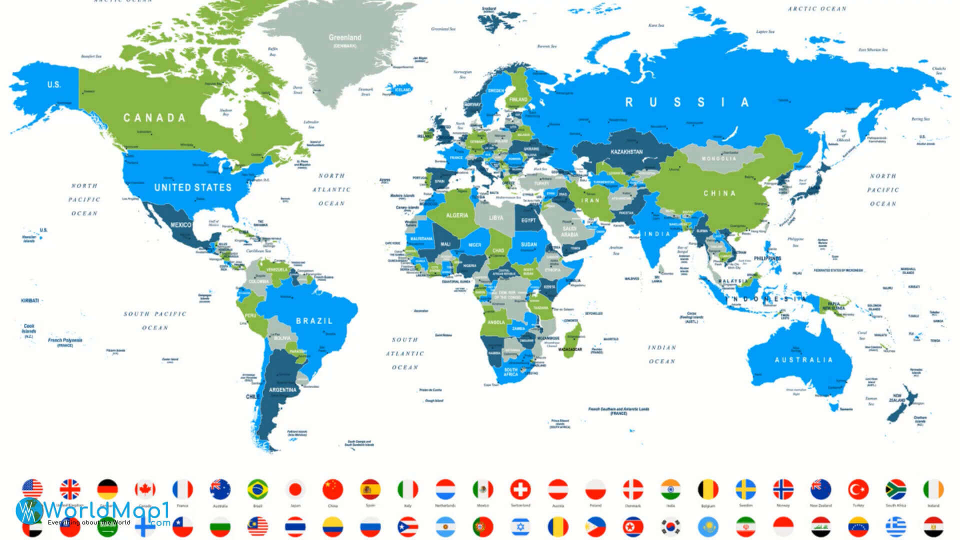
Where is Asia on the World Map?
Show Google Interactive Maps and satellite maps of where the country is located.
Get directions by driving, walking, bicycling, public transportation and travel with street view.
Feel free to explore these pages as well:
- Asia Map ↗️
- Map of Asia ↗️
- Asia Countries Map ↗️
- Asia Cities Map ↗️
- Asia High-resolution Map ↗️
- Asia Political Map ↗️
- Asia Road Map ↗️
- Asia Satellite Map ↗️
- Asia Historical Map ↗️
- Asia Physical Map ↗️
- Asia Religion Map ↗️
- Asia Topographic Map ↗️
- Asia Time Zone Map ↗️
- A Collection of Asia Maps ↗️
- About Asia and Maps ↗️
- A Collection of China Maps ↗️
- Thailand Map ↗️
- India Map ↗️
- Pakistan Map ↗️
- Indonesia Map ↗️
- Iran Map ↗️
- A Collection of Bangladesh Maps ↗️
- Advertisement -
