- Advertisement -
Explore a wide variety of Asia maps including political maps, country borders, capitals, sub-regions, flags, major religions, and historical views. Also find Asia in relation to World maps with detailed labels and visual clarity.
Countries and Borders Map of Asia
 Colorful political map showing countries and borders of Asia.
Political Map of Asian Countries with Borders and Major Seas
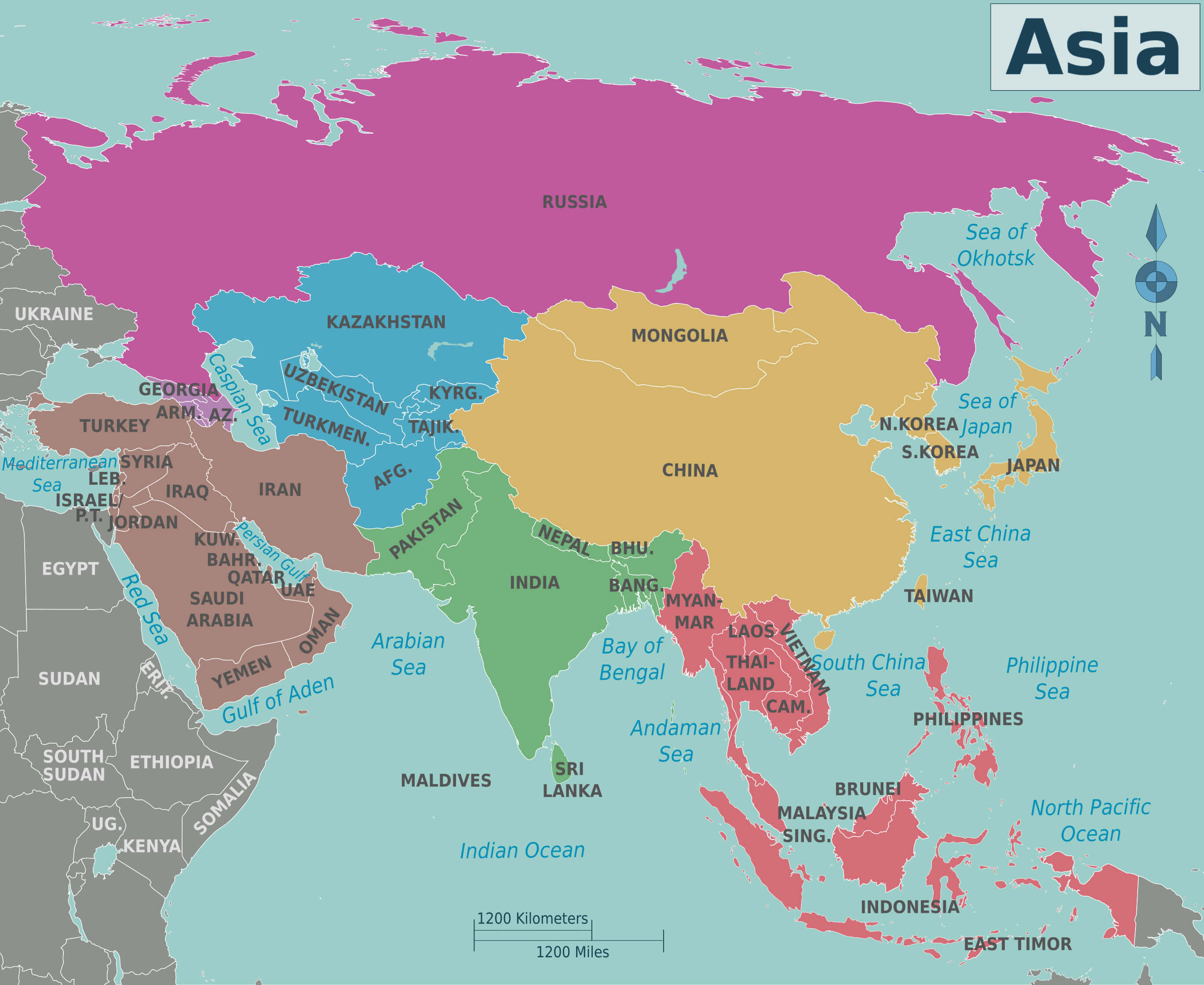 Detailed political map of Asia showing countries, borders, and surrounding seas.
Ancient Asia and countries map
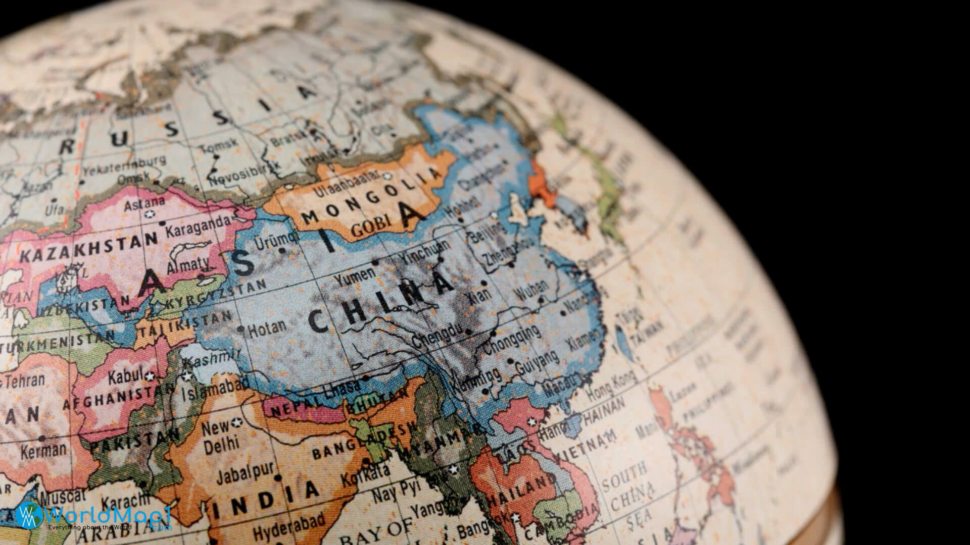
Asia and World countries map
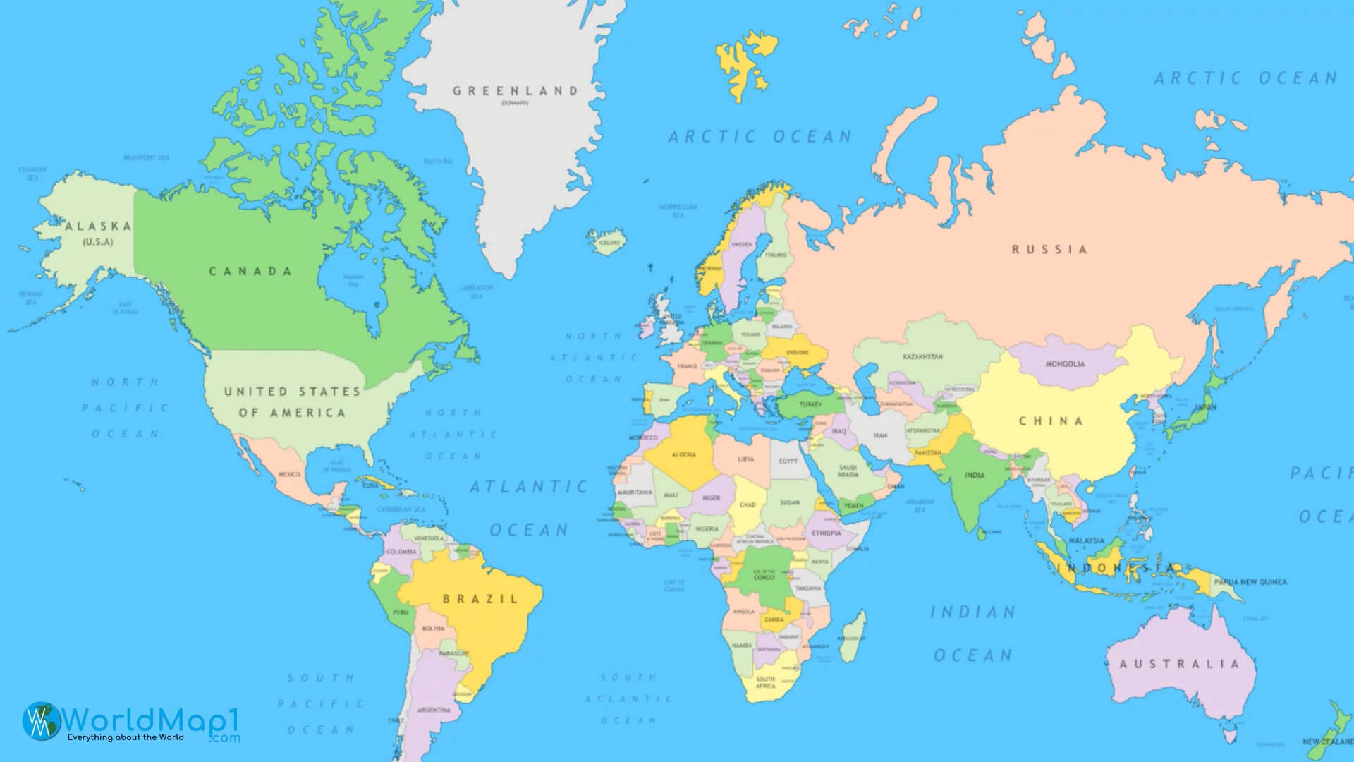
Asia and World countries political map
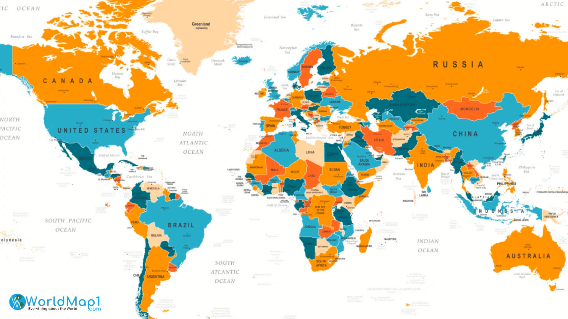
Asia countries map
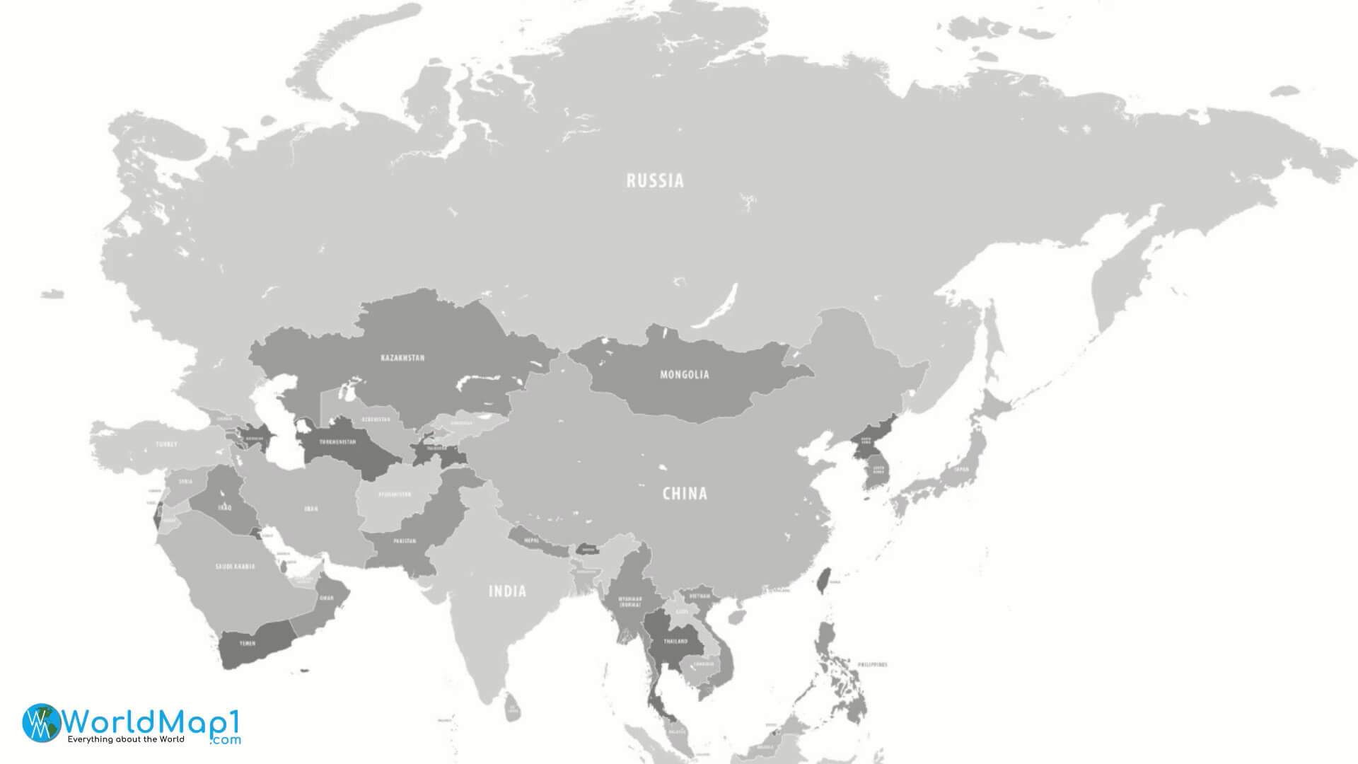
Capitals map of Asian countries
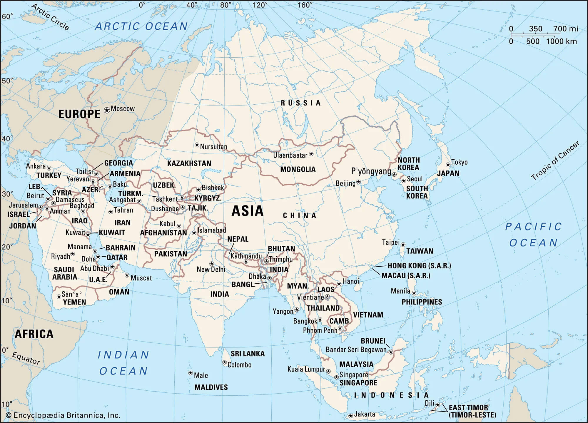
Asia countries political map
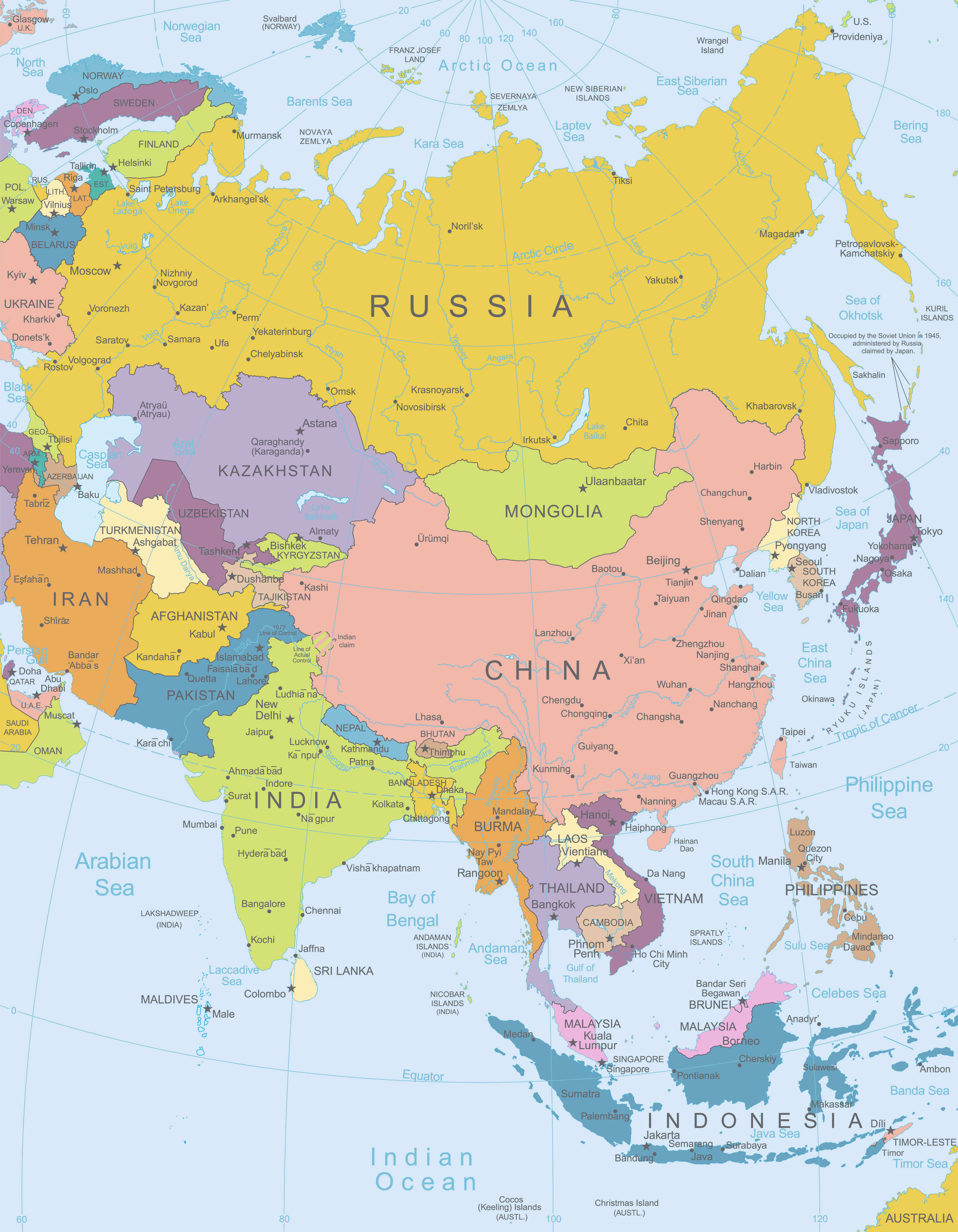
Asia map name of World countries
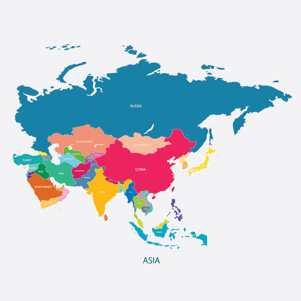
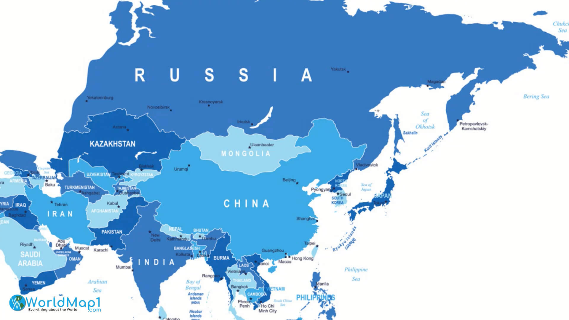
Asia map with Asian countries capitals
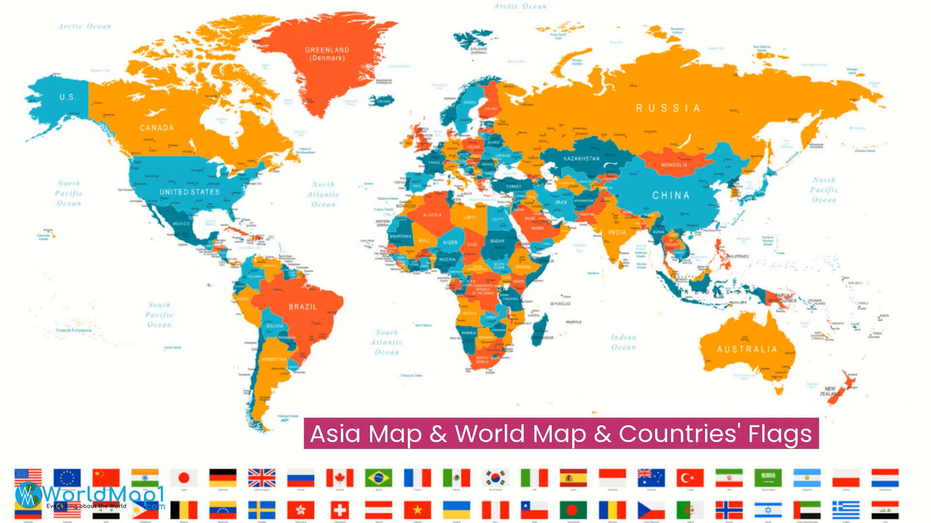
Asia map with World countries flags
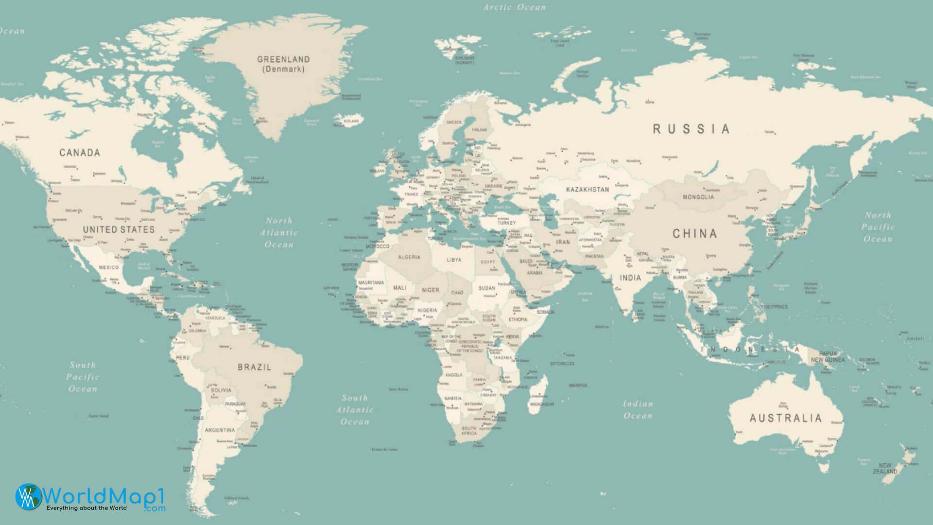
Asia map with World countries
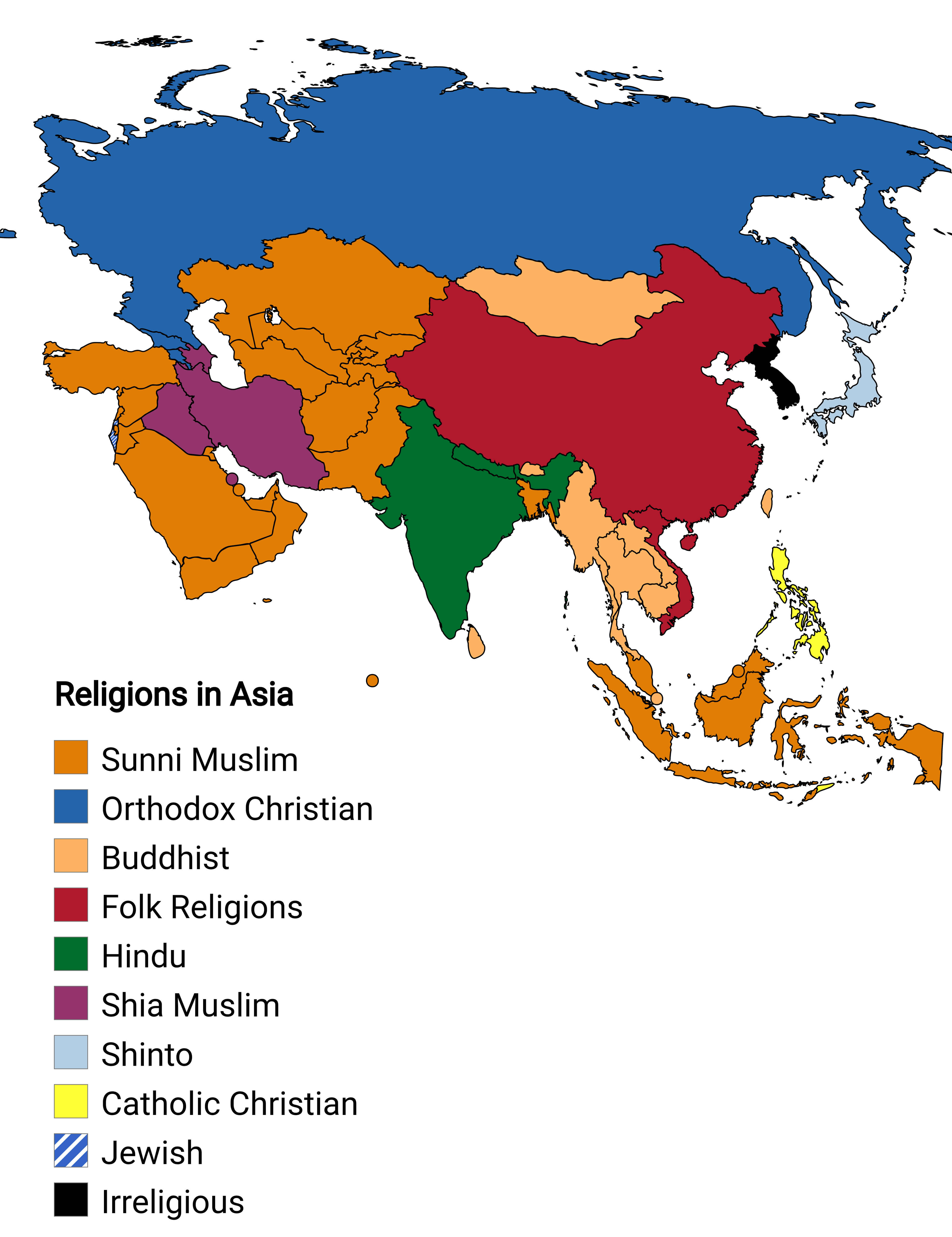
Asian countries major religions map
Asian countries map
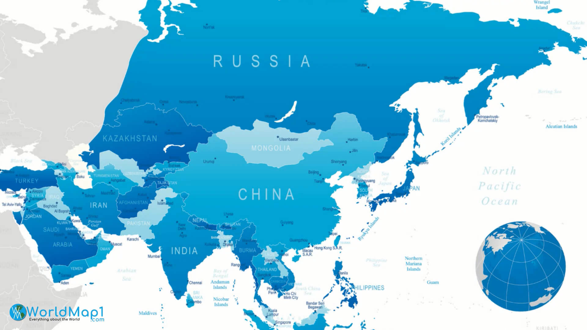
Central Asia map and countries

Countries capitals of Asia map
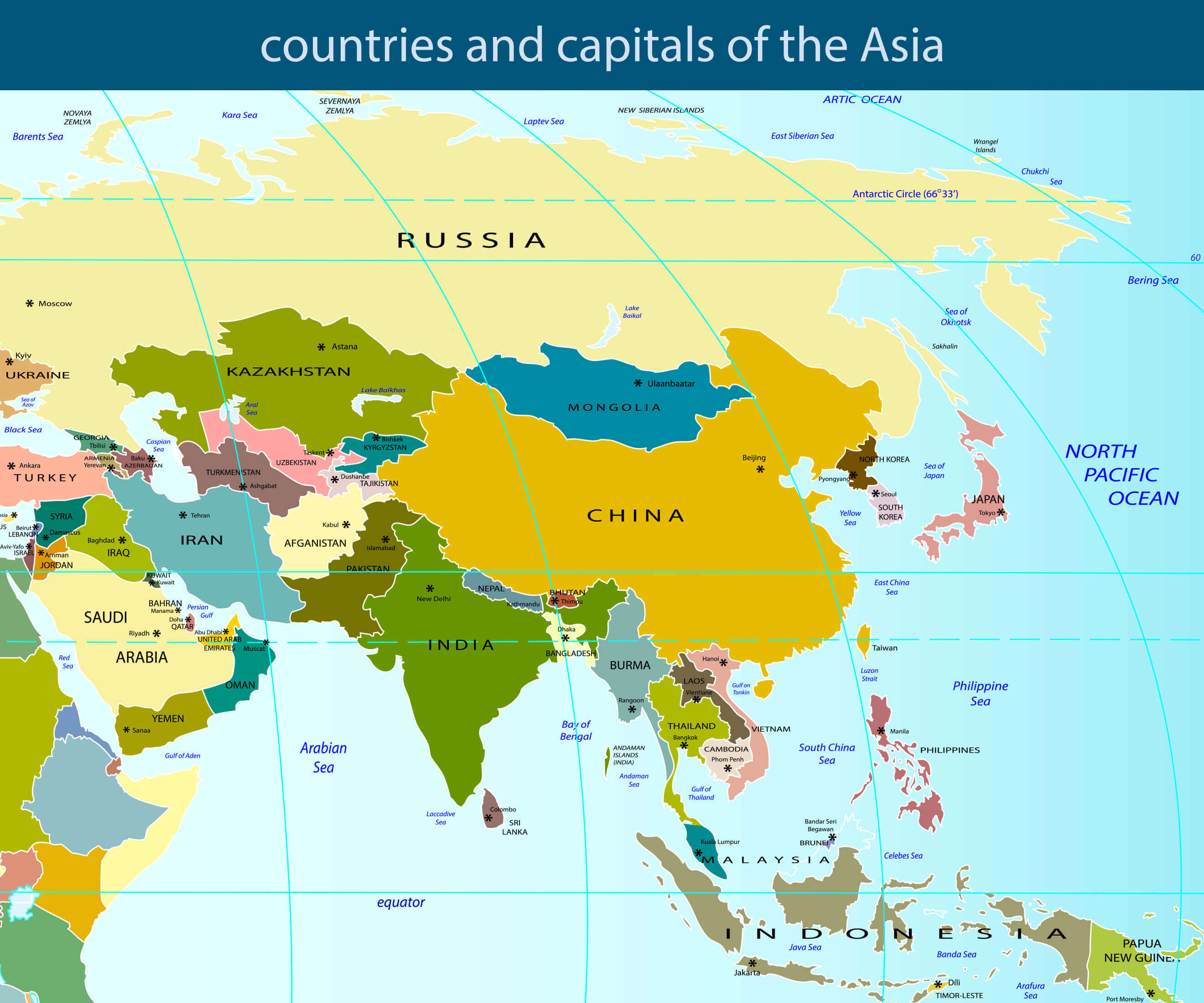
Countries map of Asia
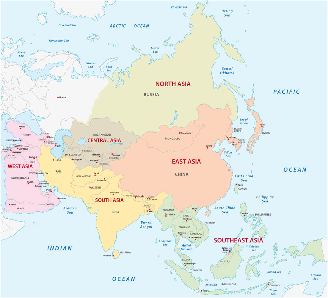
Map of the Asian sub regions
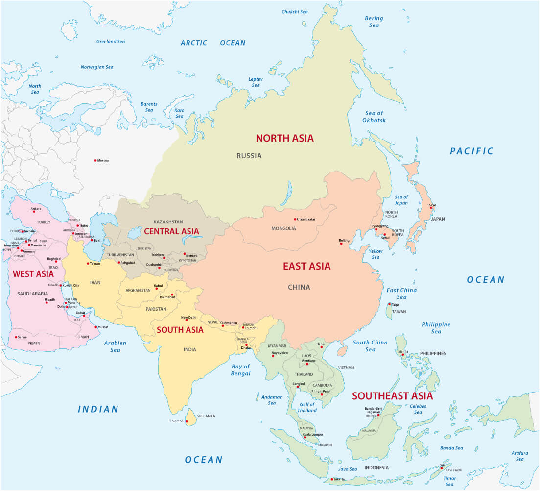
World and Asia countries political map

World map Asian countries

Where is Asia on the World Map?
Show Google Interactive Maps and satellite maps of where the country is located.
Get directions by driving, walking, bicycling, public transportation and travel with street view.
Feel free to explore these pages as well:
- Asia Map ↗️
- Map of Asia ↗️
- Asia Cities Map ↗️
- Asia High-resolution Map ↗️
- Asia Political Map ↗️
- Asia Road Map ↗️
- Asia Satellite Map ↗️
- Asia Historical Map ↗️
- Asia Population Map ↗️
- Asia Physical Map ↗️
- Asia Religion Map ↗️
- Asia Topographic Map ↗️
- Asia Time Zone Map ↗️
- A Collection of Asia Maps ↗️
- About Asia and Maps ↗️
- A Collection of China Maps ↗️
- Thailand Map ↗️
- India Map ↗️
- Pakistan Map ↗️
- Indonesia Map ↗️
- Iran Map ↗️
- A Collection of Bangladesh Maps ↗️
- Advertisement -
