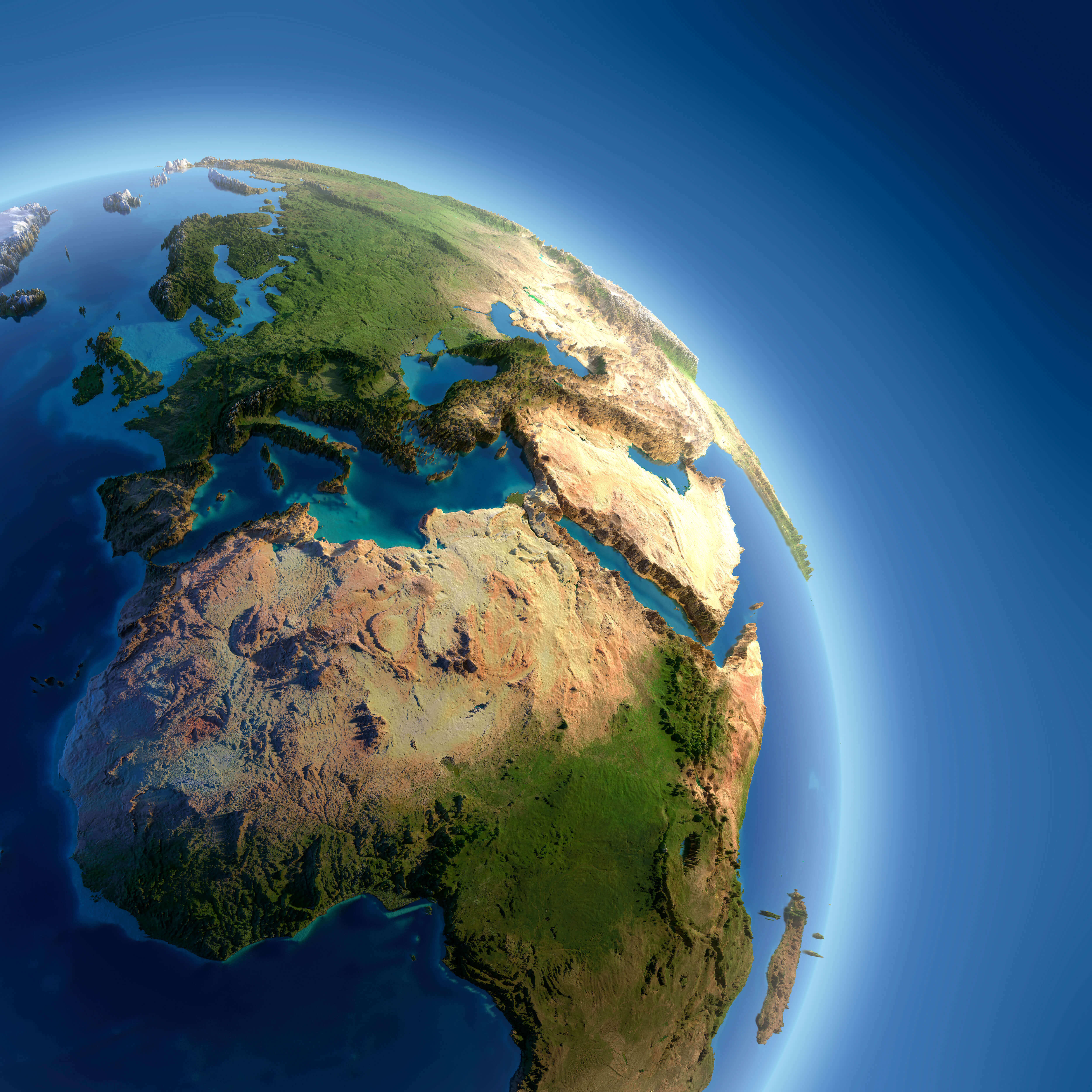
Europe Satellite Map

HomeMapsEurope Satellite Map
- Advertisement -

Explore satellite and relief maps of Europe, Africa, and the Mediterranean, including night views and high-resolution imagery of countries such as Spain, Italy, France, Sweden, and Finland. Discover satellite maps from space, shaded relief maps, and more.

Europe and North Africa from Space: High-Resolution Satellite Map
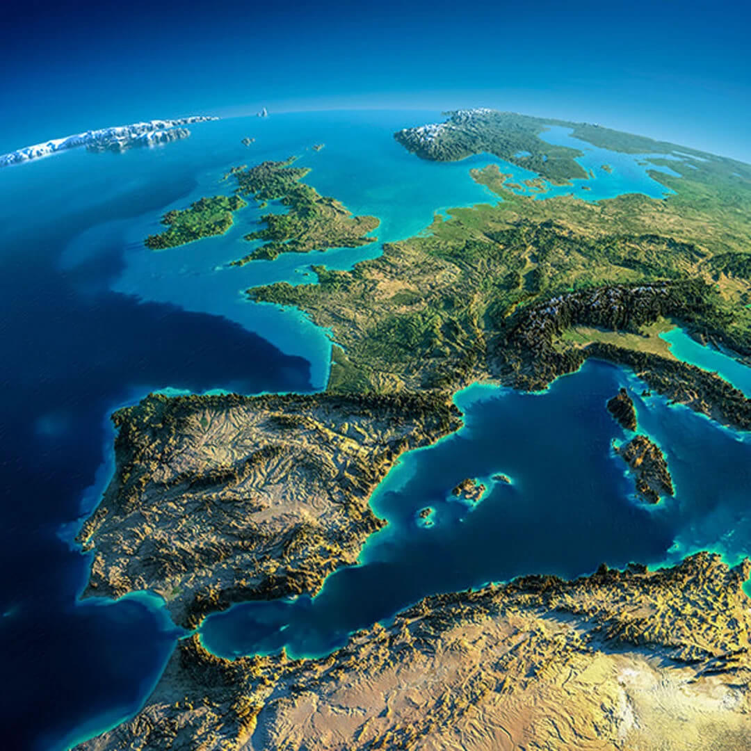
Europe and North Africa satellite map
Satellite map of Europe and North Africa showing terrain and sea in vivid detail.

This high-resolution satellite map provides a stunningly clear view of Europe and North Africa. It highlights geographical features such as the Iberian Peninsula, the Alps, the Mediterranean Sea and the Atlas Mountains. It provides a visual overview of the region’s landscape, elevation and natural beauty from space.

Stunning Satellite View of Italy, Greece, and the Mediterranean Sea
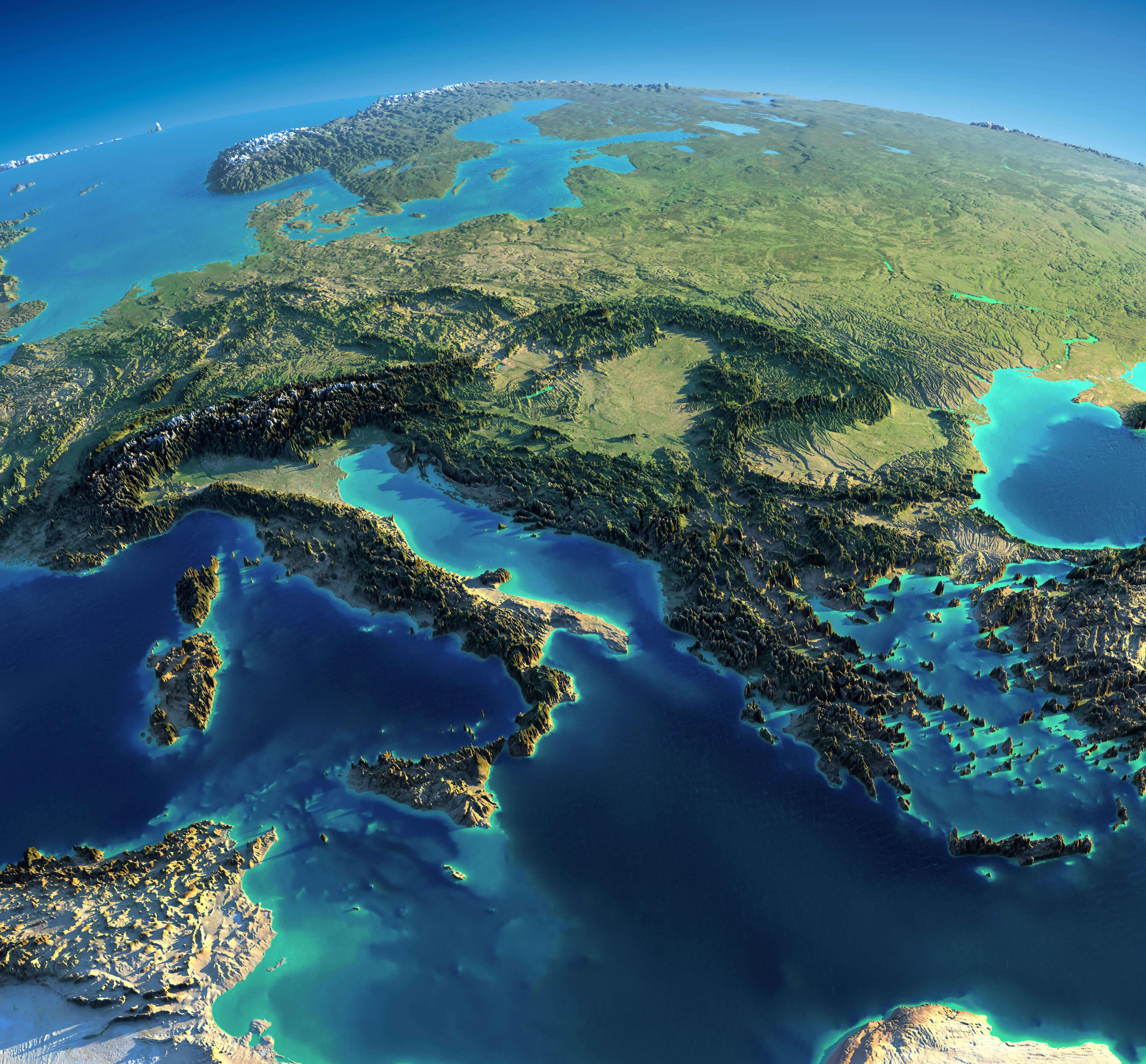
Europe Italy Greece Mediterranean Sea satellite map
Satellite map of Italy, Greece, and the Mediterranean Sea from space.

This high-definition satellite image showcases Southern Europe, including Italy, Greece, and the surrounding Mediterranean region. You can see the Adriatic and Aegean Seas, rugged coastlines, and detailed terrain. A breathtaking perspective of Europe’s southern edge and the cultural cradle of the Mediterranean world.

Europe and Africa satellite map

Europe and Africa satellite map

Europe and Spain satellite view map
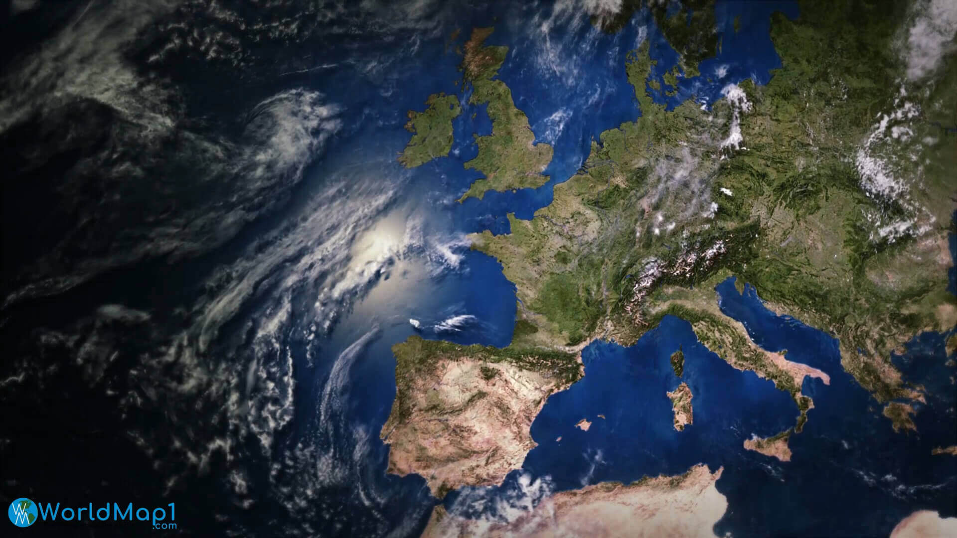
Europe and Spain satellite view map

Europe Belgium Netherlands satellite map
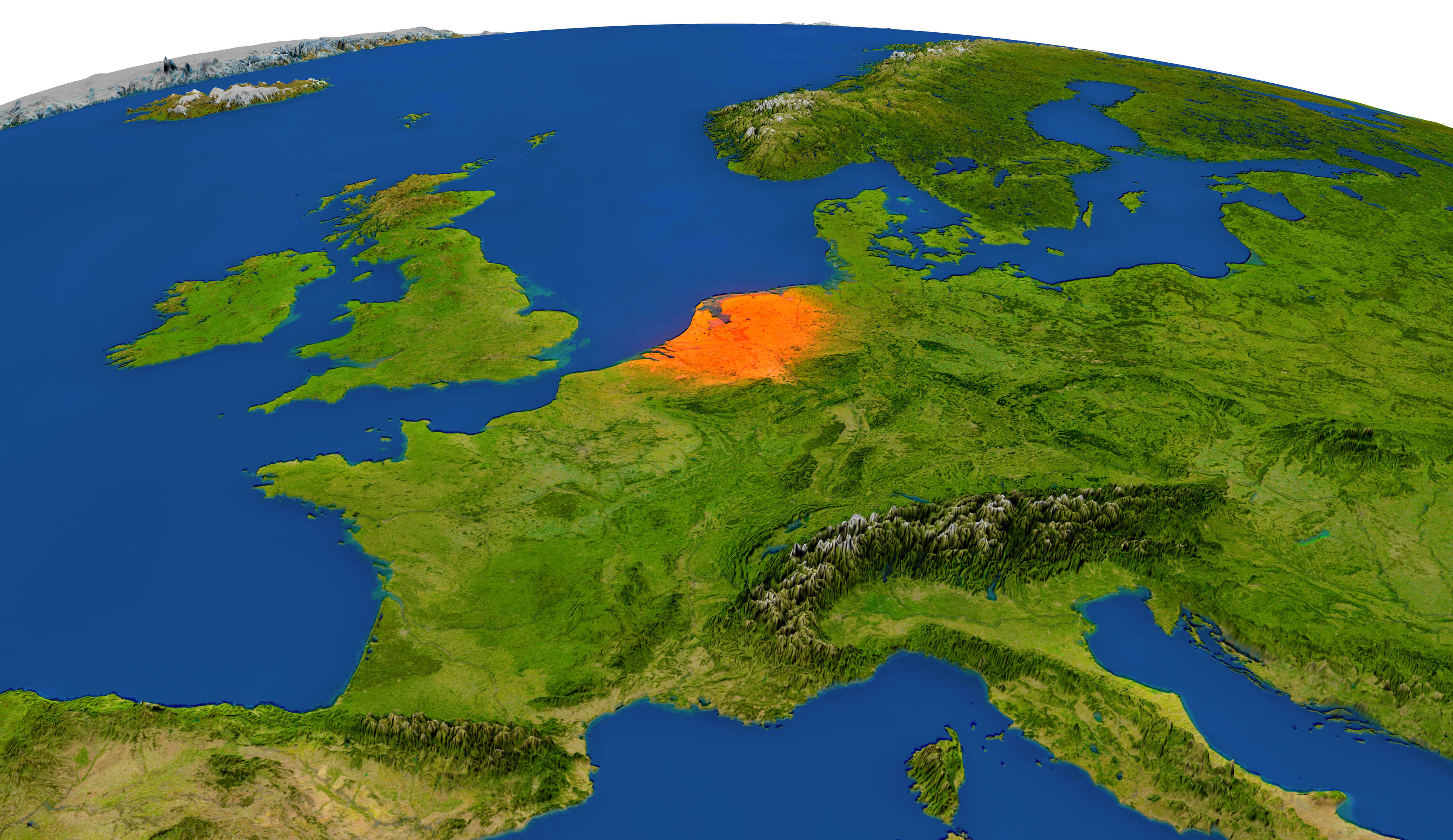
Europe Belgium Netherlands satellite map

Europe denmark norway sweden Finland satellite map in the night
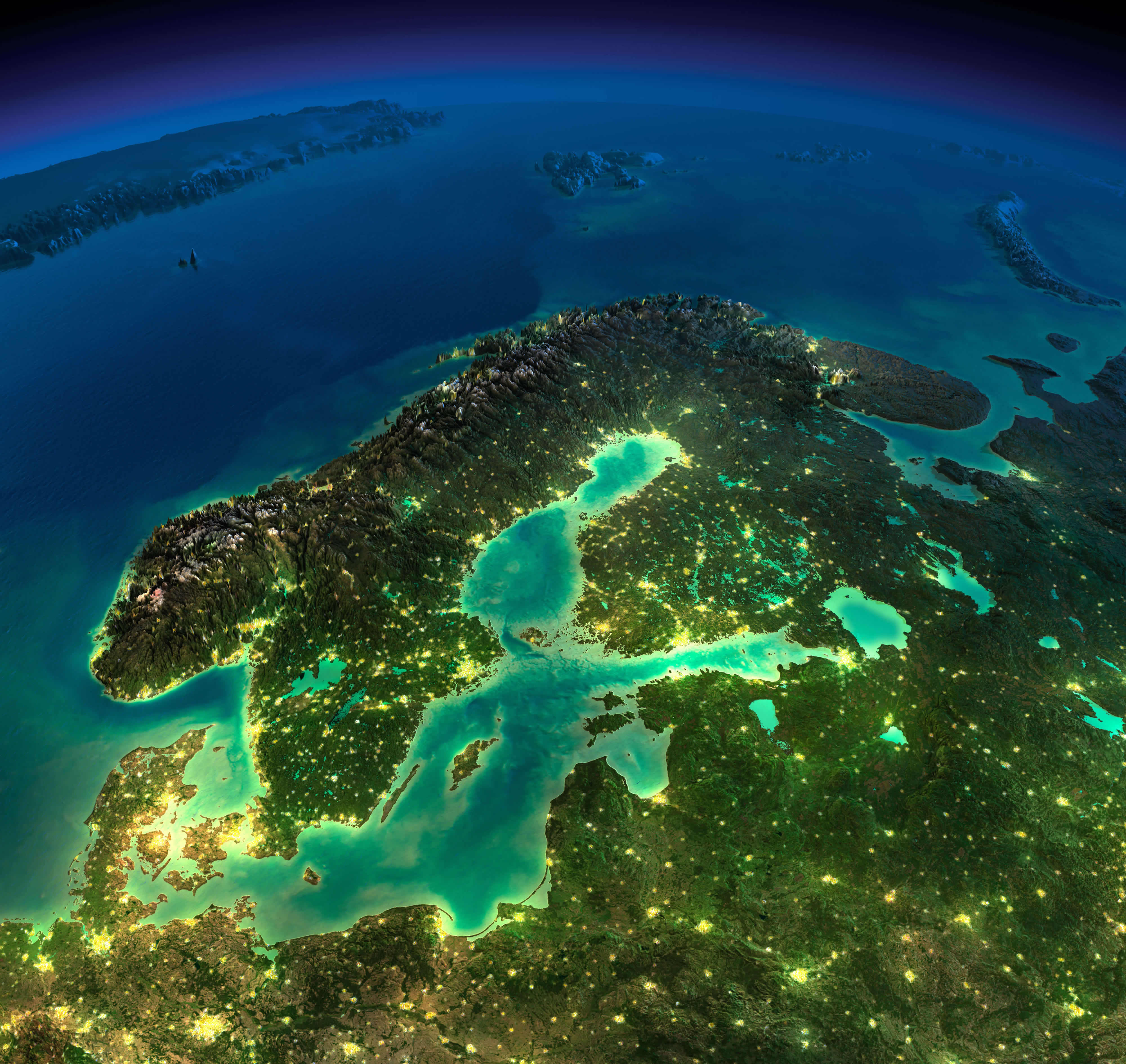
Europe denmark norway sweden Finland satellite map in the night

Europe France Germany satellite map in the night
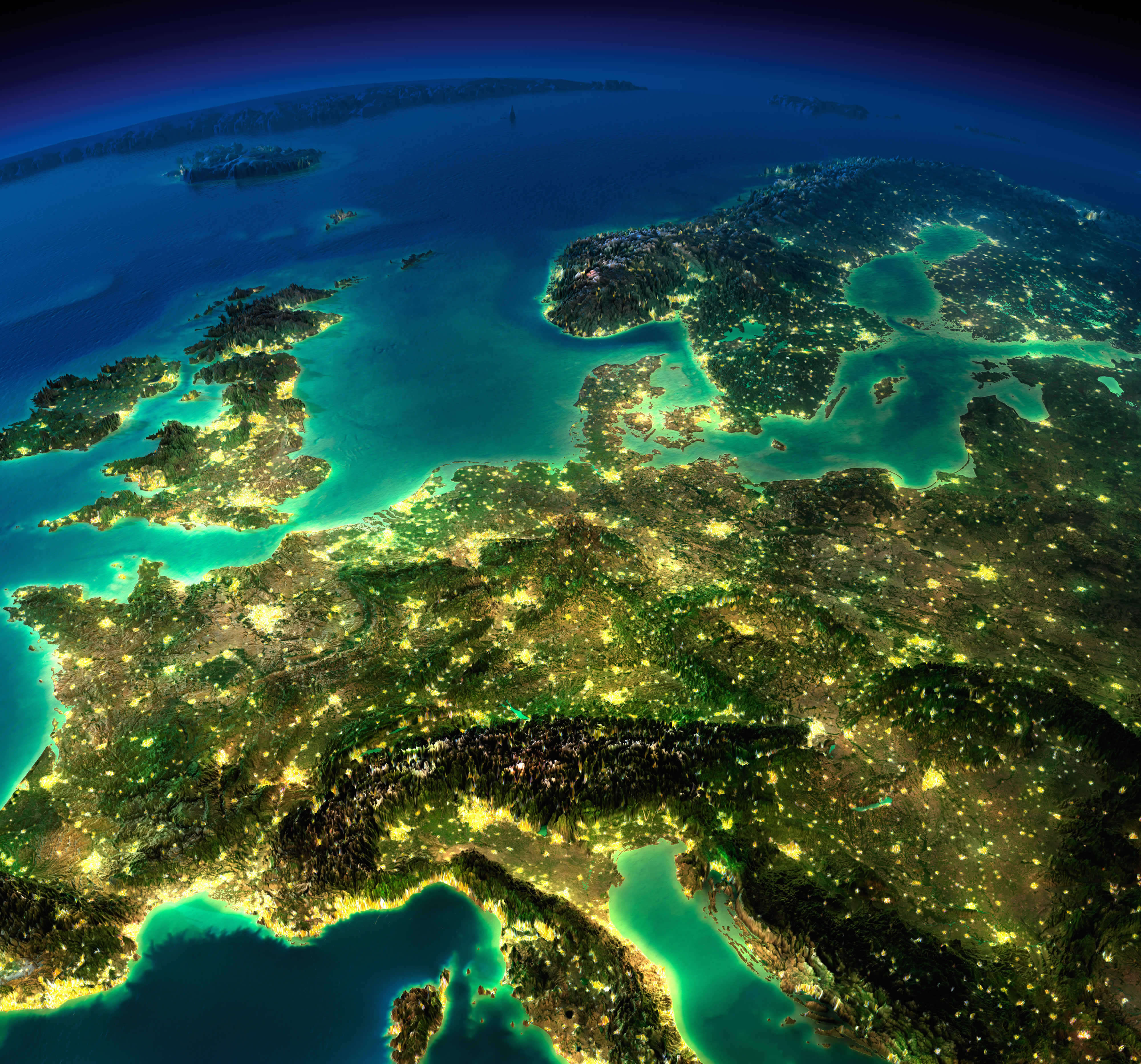
Europe France Germany satellite map in the night

Europe from Spain map
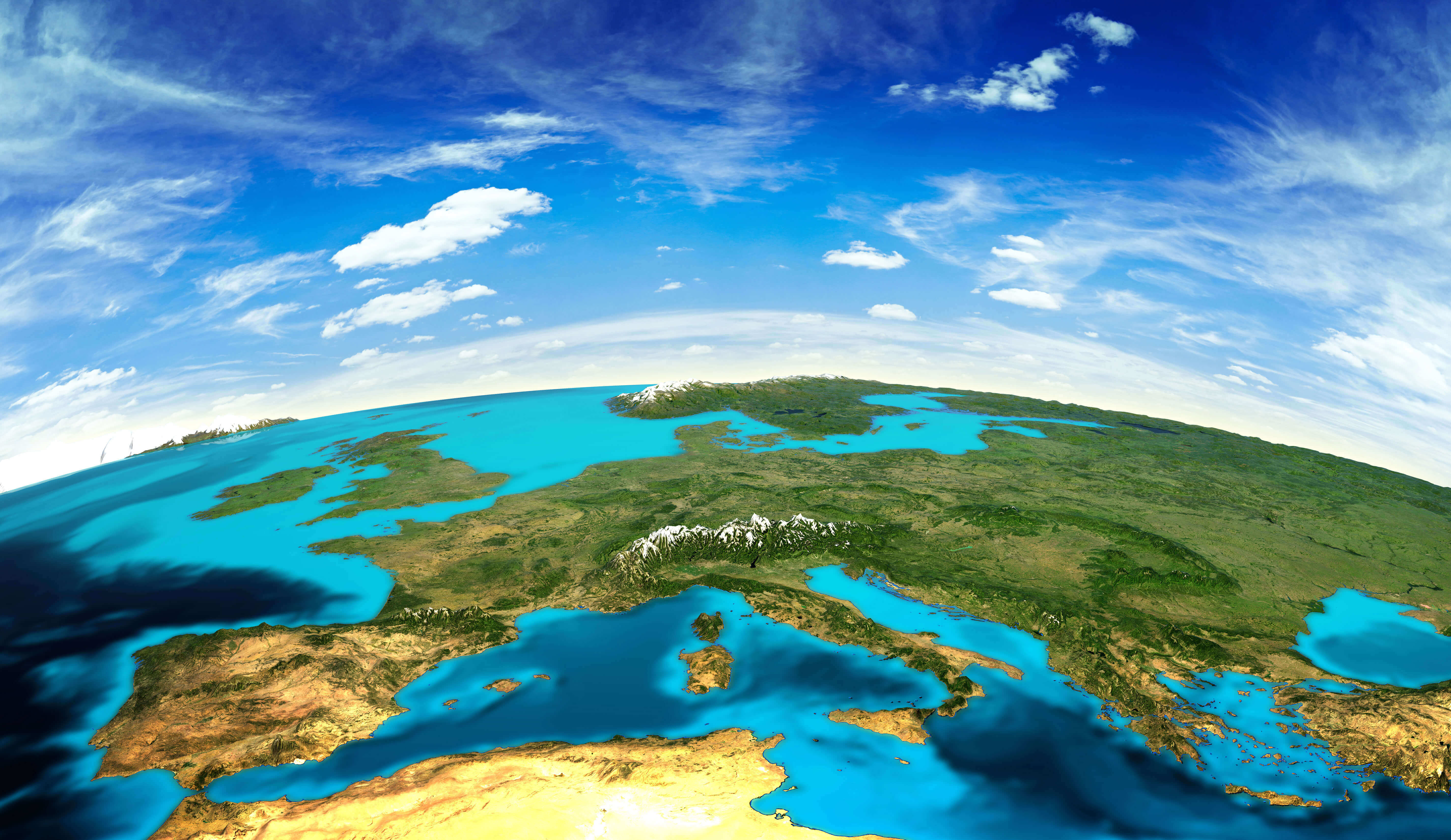
Europe from Spain map

Europe imagery shaded relief map
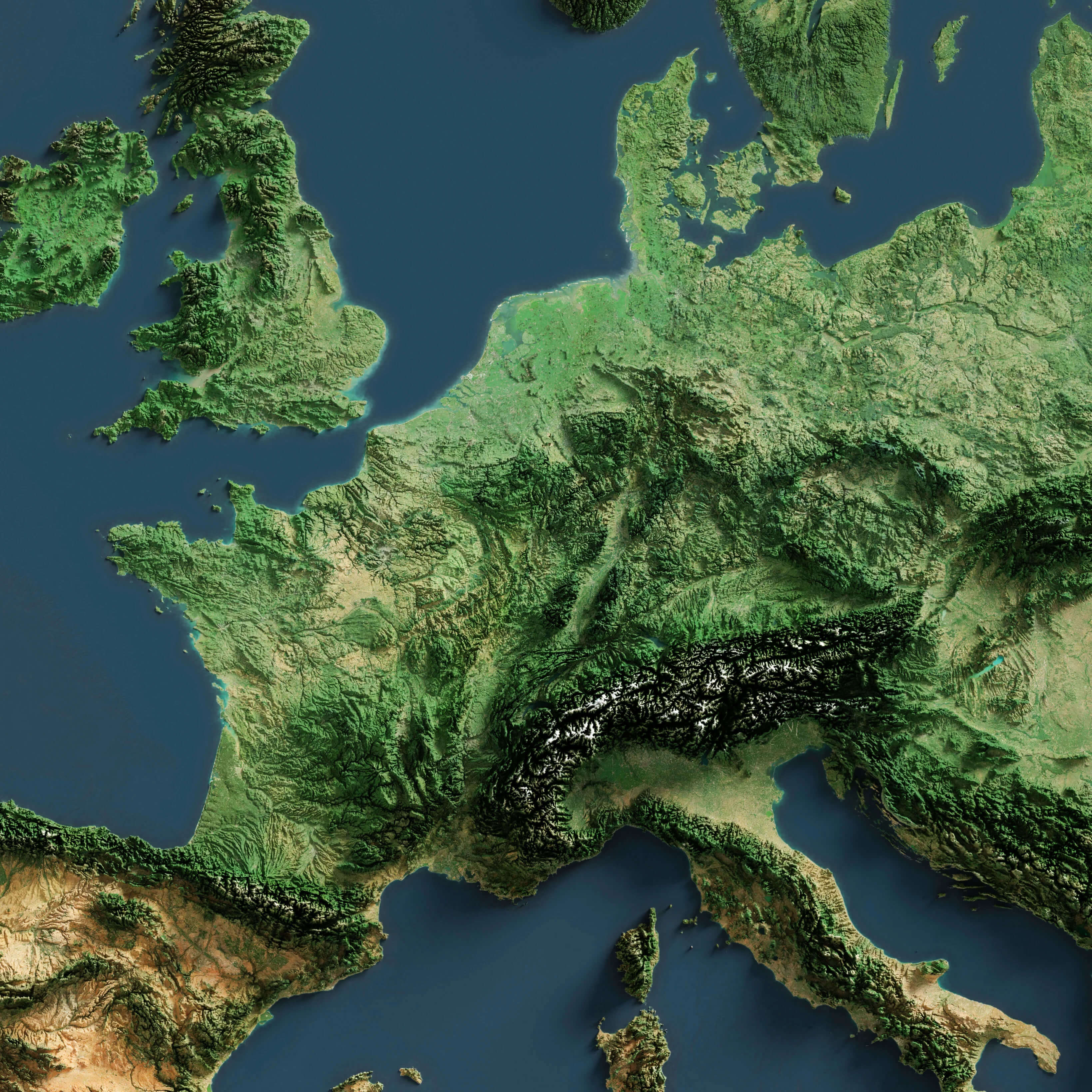
Europe imagery shaded relief map

Europe Ireland UK Sweden Norway satellite map in the night
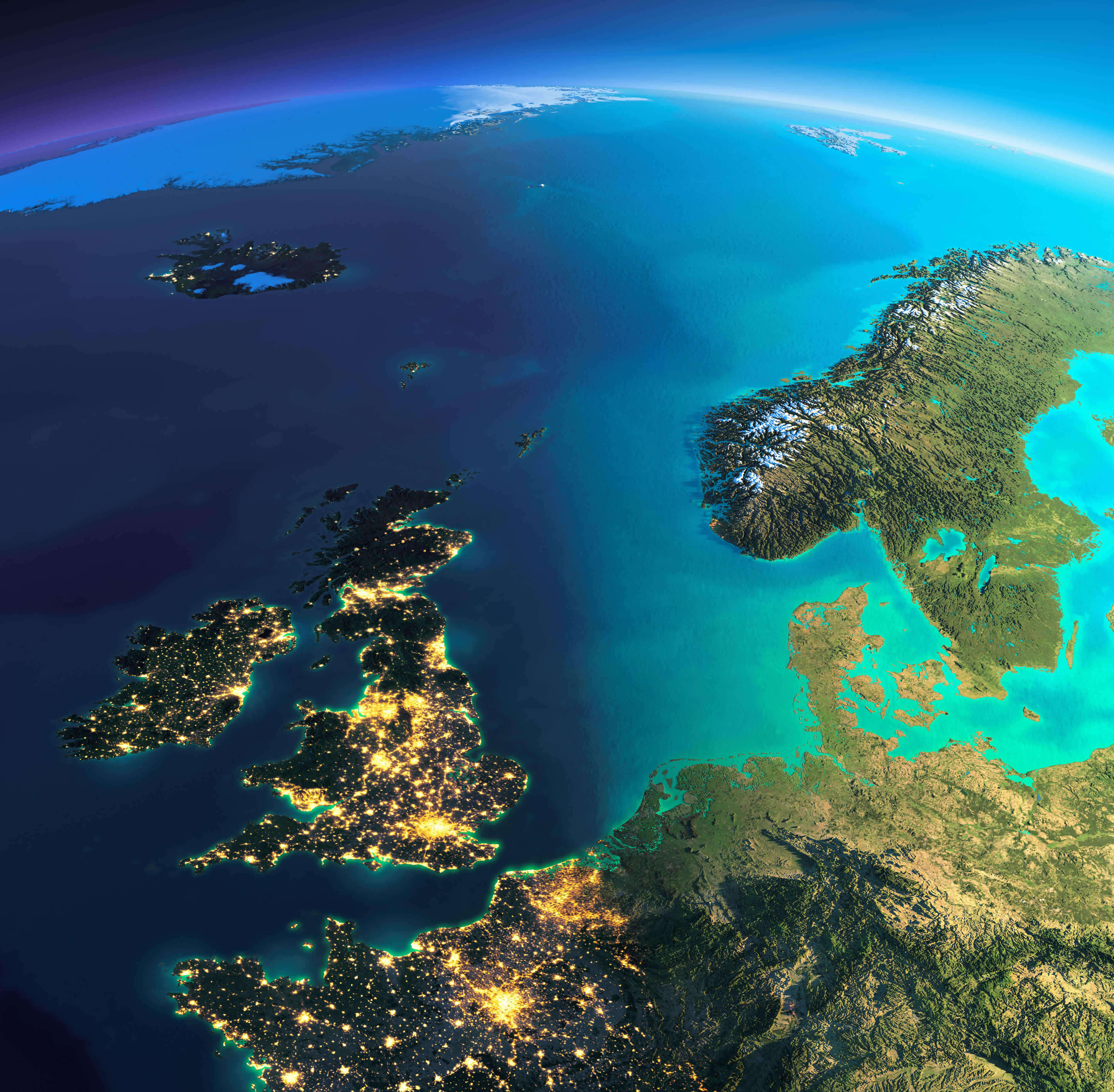
Europe Ireland UK Sweden Norway satellite map in the night

Europe map from space in the night
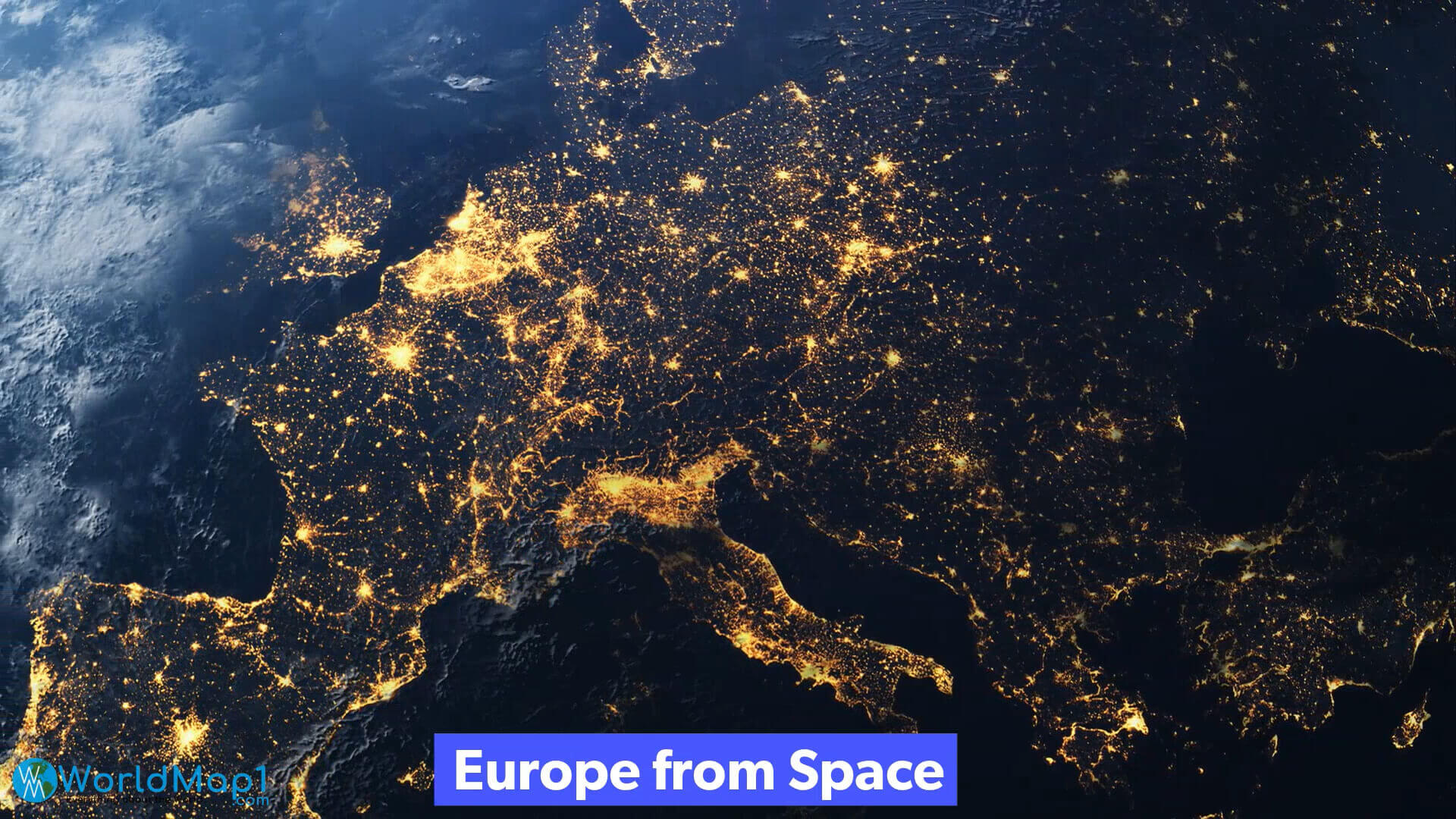
Europe map from space in the night

Europe map in the night from space
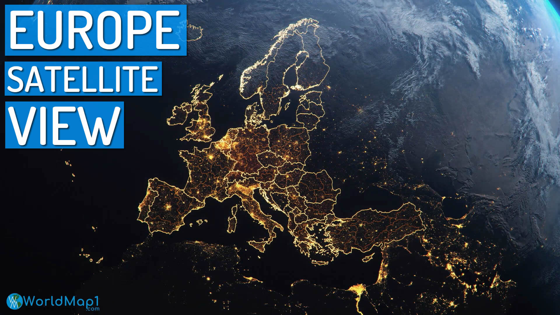
Europe map in the night from space

Europe satellite map at night
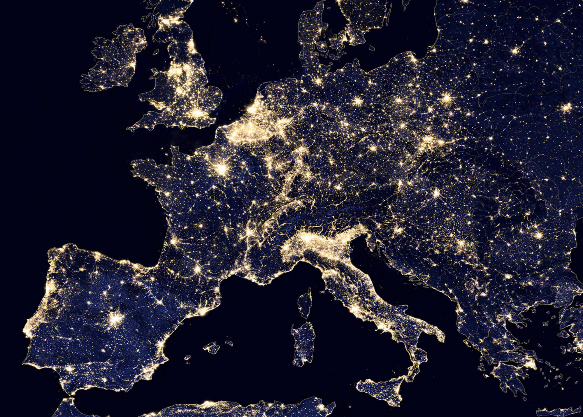
Europe satellite map at night

Europe satellite map in the night
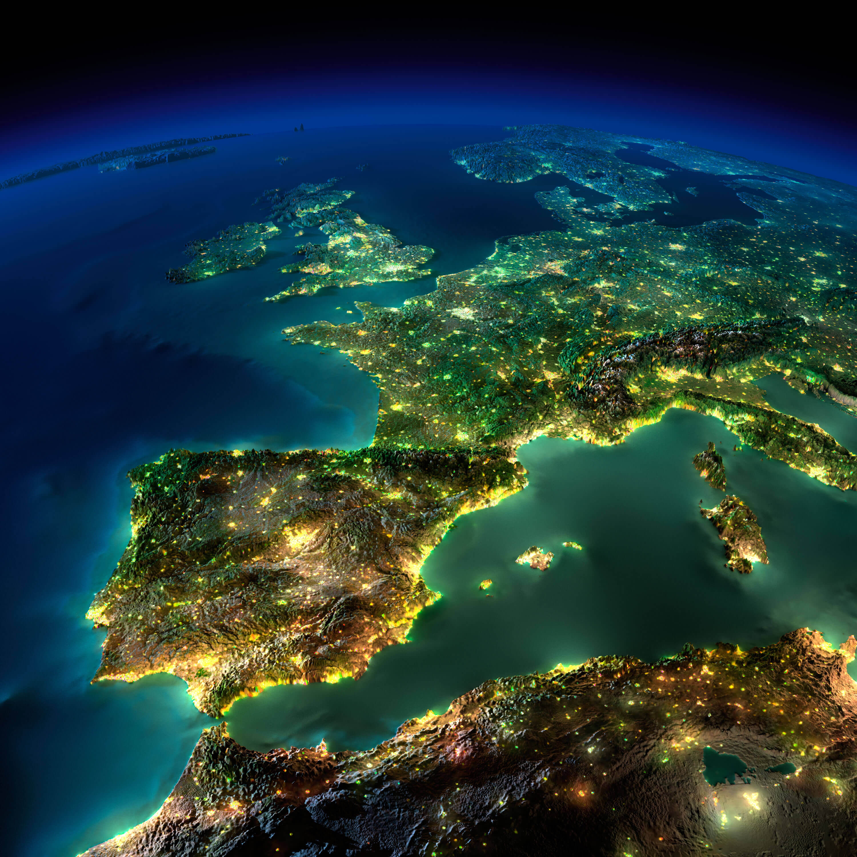
Europe satellite map in the night
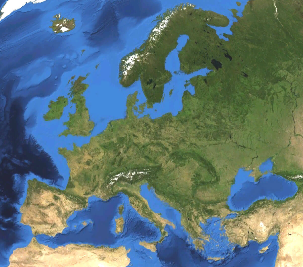
Europe satellite map

Europe satellite map

Europe satellite view from space
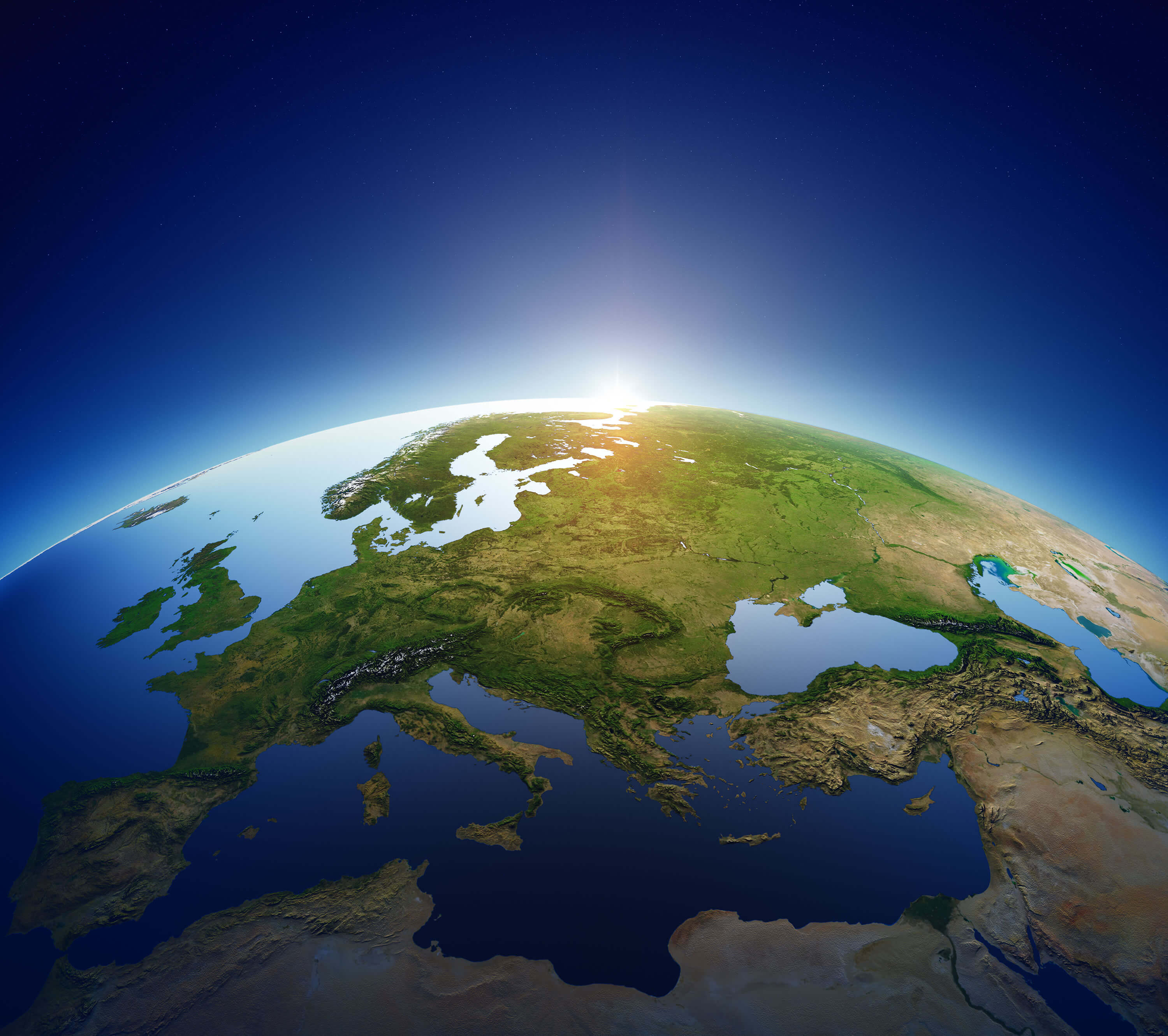
Europe satellite view from space

Europe satellite view map from space
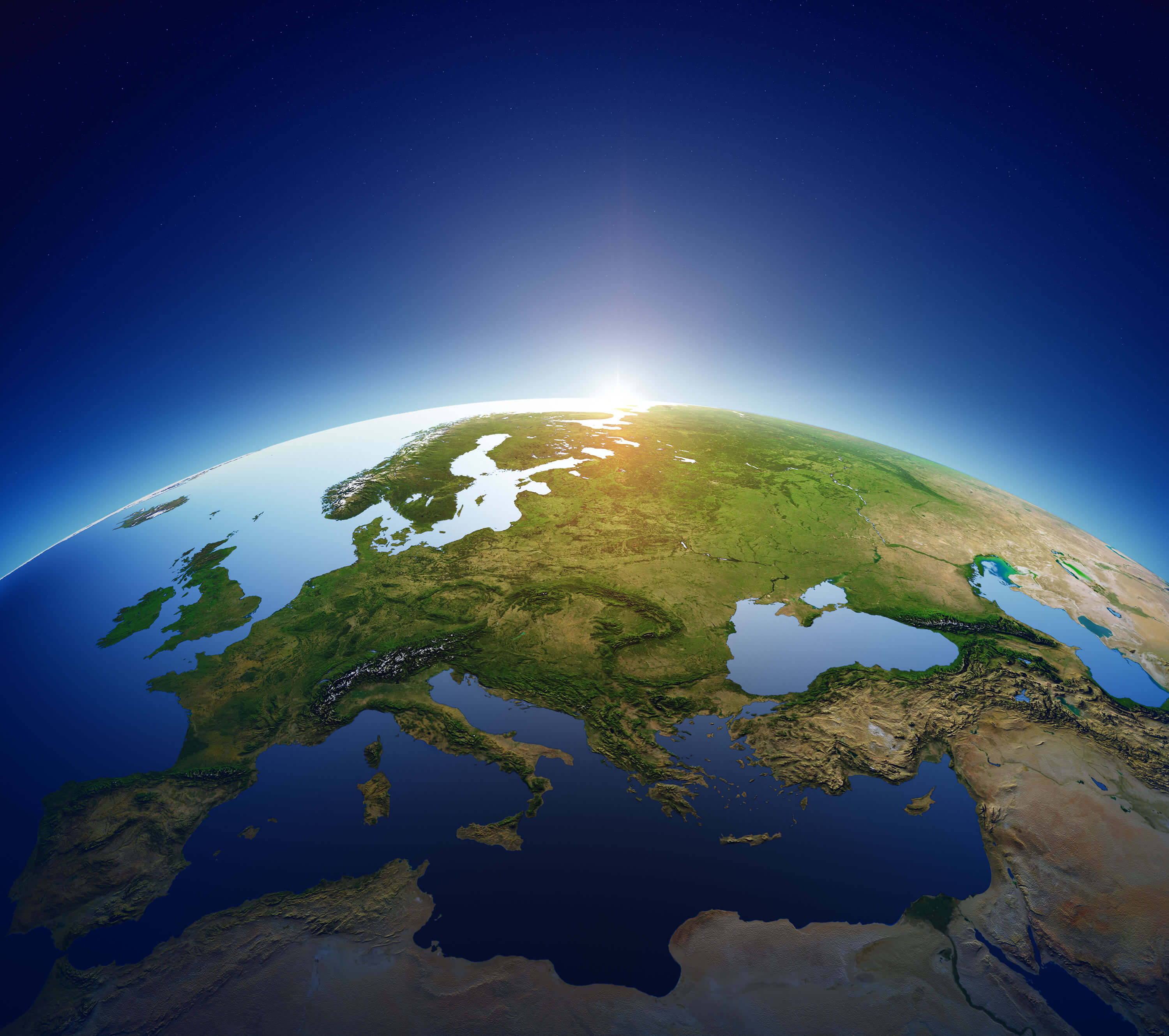
Europe satellite view map from space
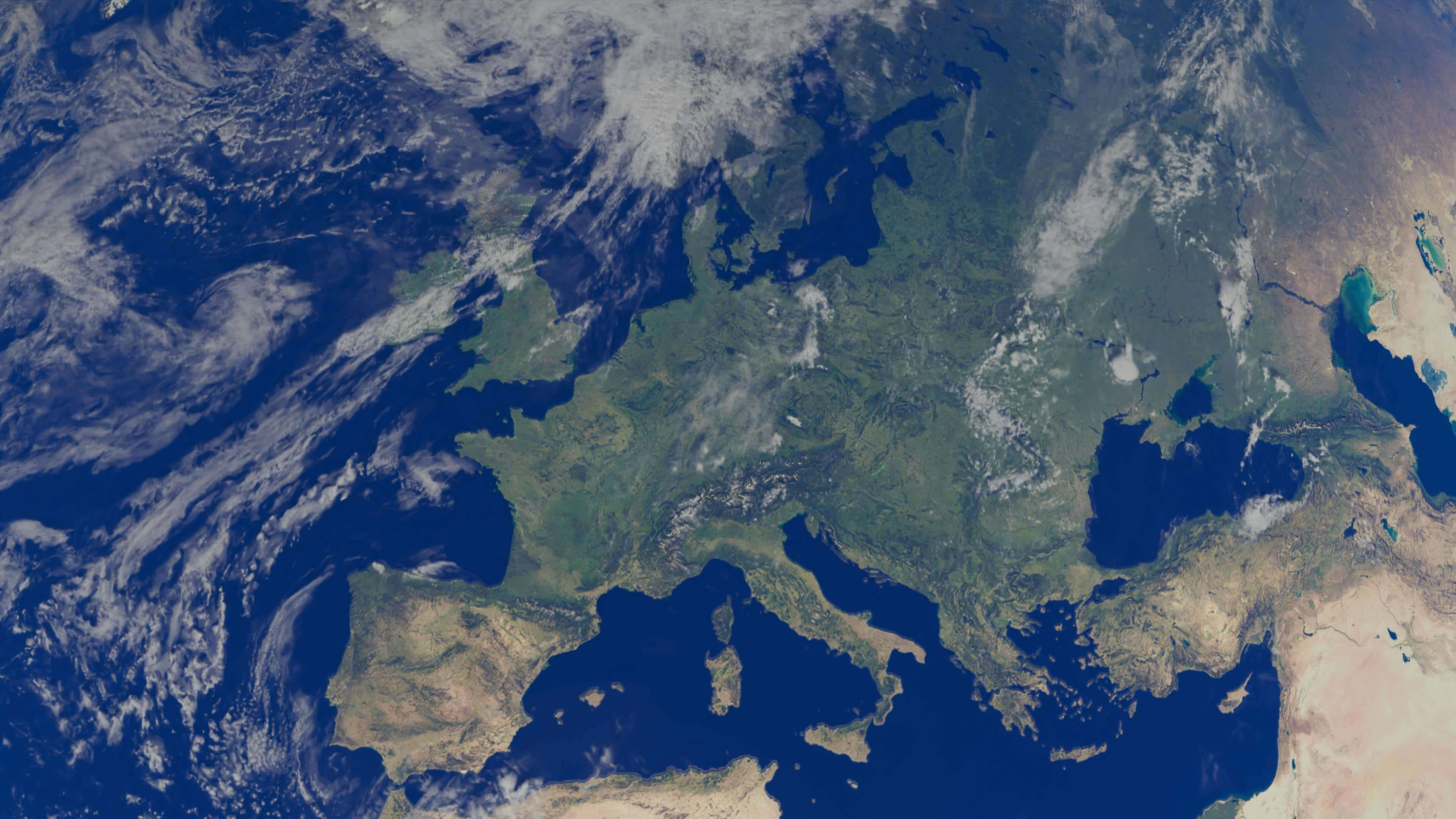
Europe satellite view map

Europe satellite view map

Europe Spain France Italy satellite image
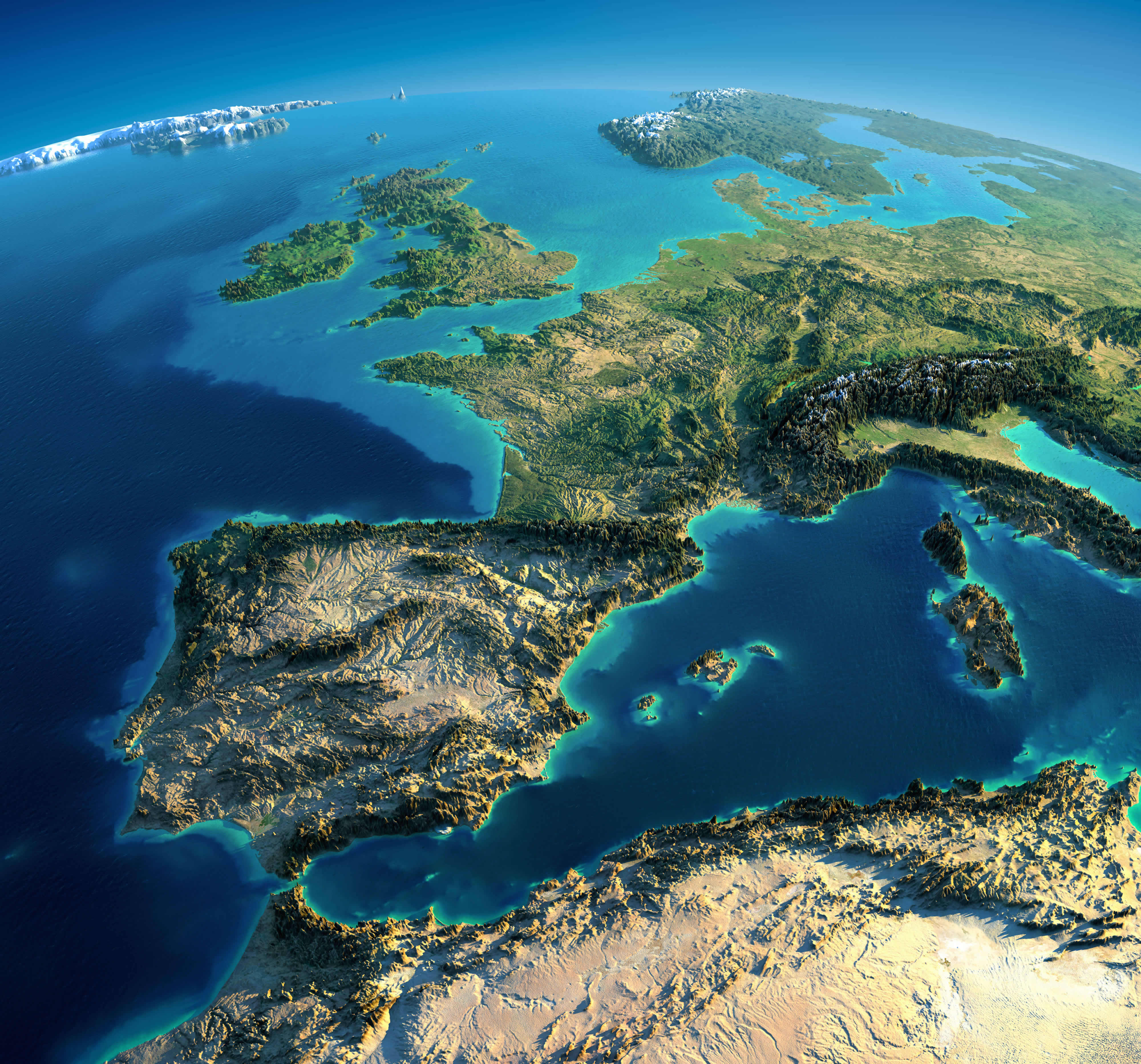
Europe Spain France Italy satellite image

Physical map of Europe and Asia
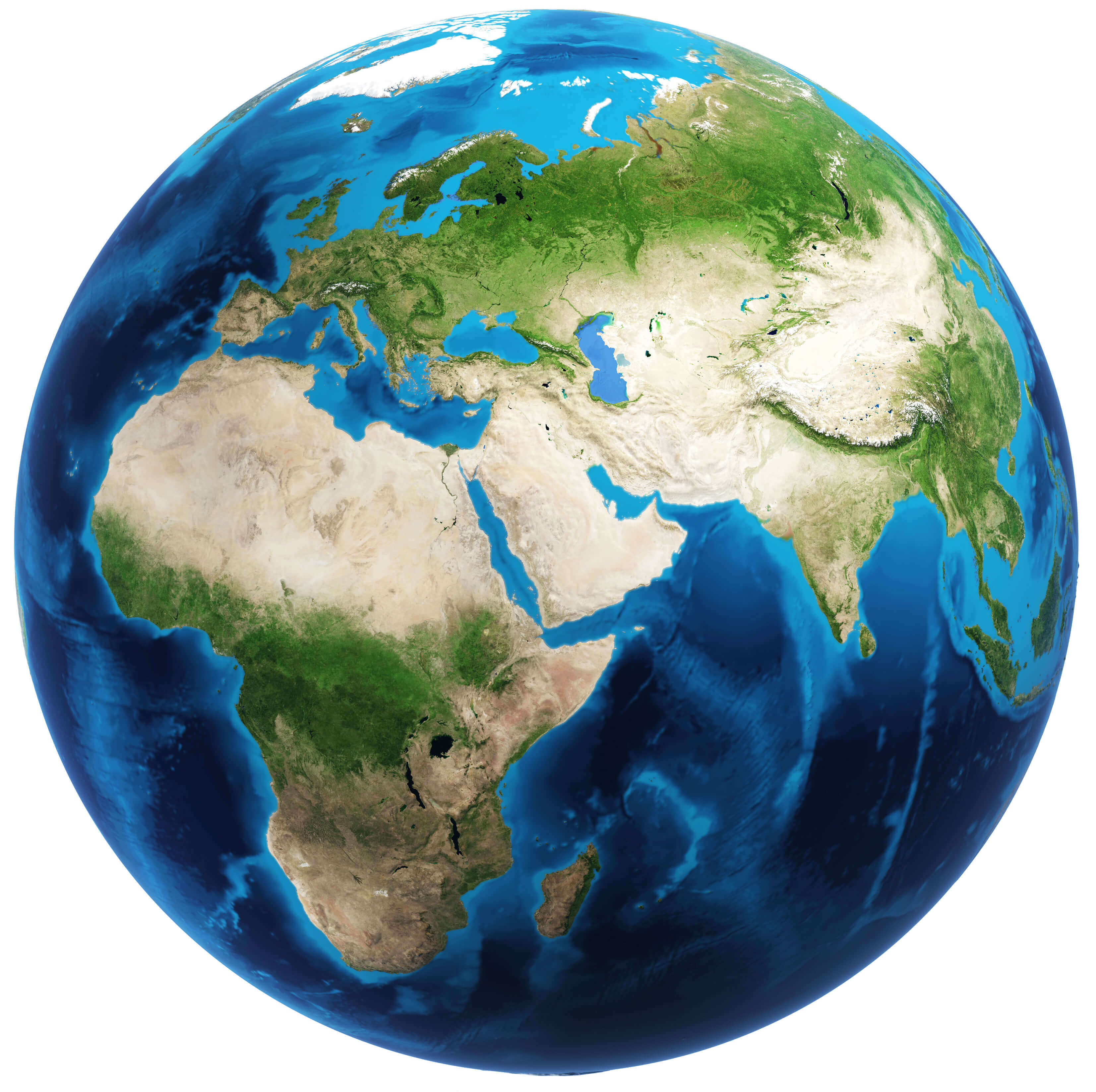
Physical map of Europe and Asia

Satellite map of Europe
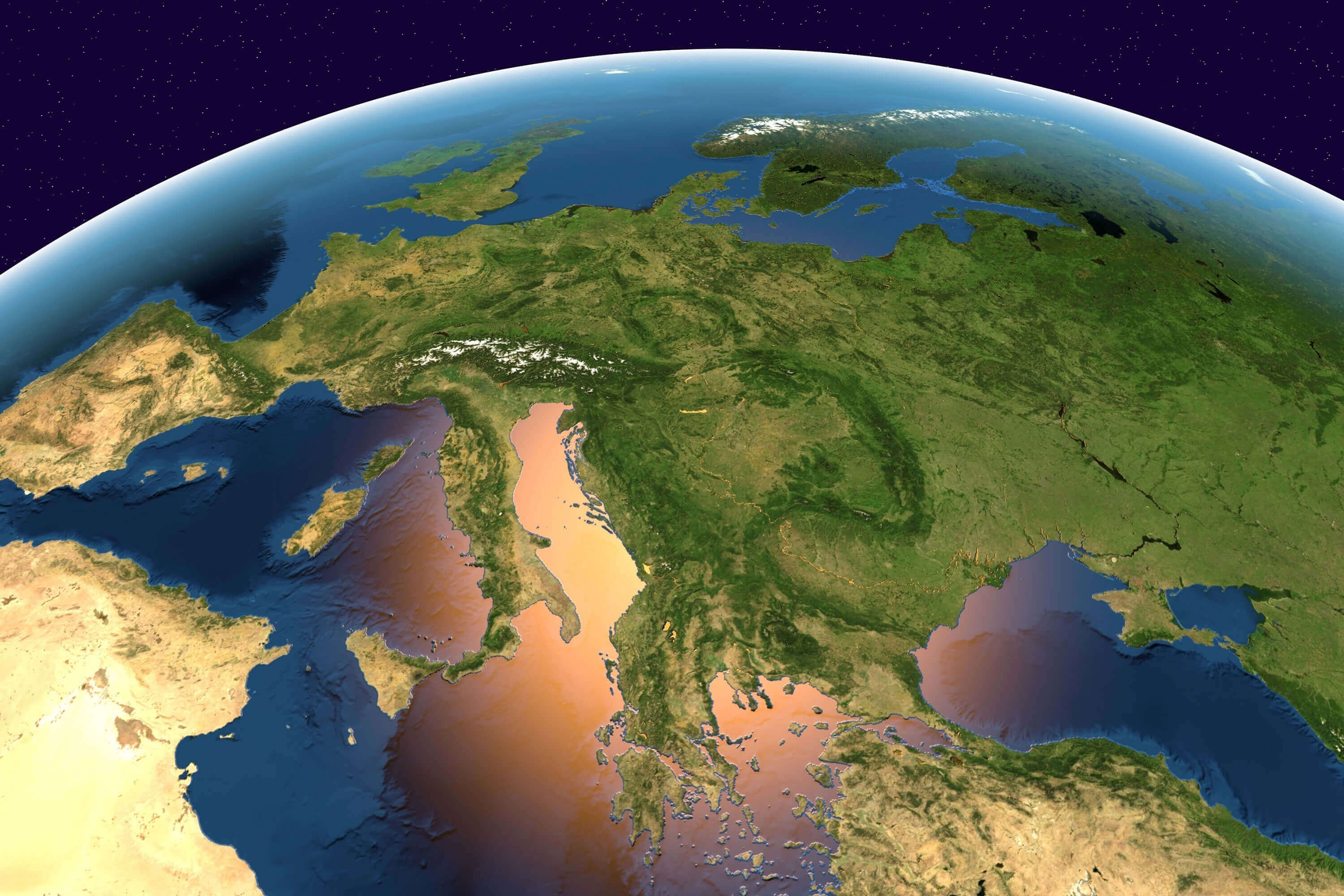
Satellite map of Europe

Satellite maps of Europe
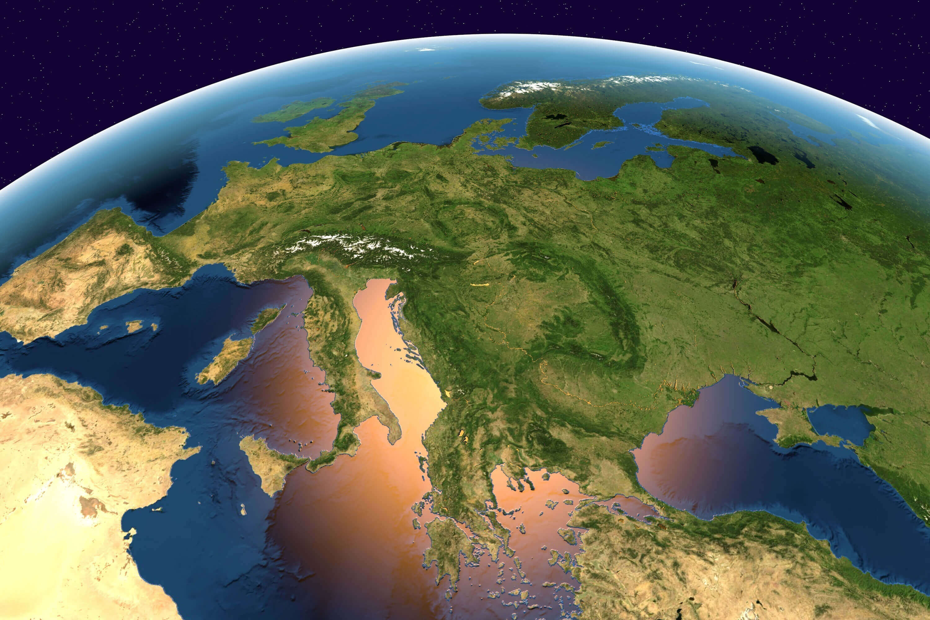
Satellite maps of Europe

Where is Europe on the World Map?

Show Google Interactive Maps and satellite maps of where the country is located.

Get directions by driving, walking, bicycling, public transportation and travel with street view.

Feel free to explore these pages as well:

- Advertisement -
Previous article

Discover

Sponsor

Latest Posts

Exploring the Charm of Bremen: A Gem in Northern Germany

Welcome to the charming city of Bremen, a hidden gem in Northern Germany where history and modernity intertwine. As you wander through its cobbled...

Michigan Map

A collection of Michigan Maps; View a variety of Michigan physical, united states political map, administrative, relief map, Michigan satellite image, higly detalied maps,...

Vancouver’s Top 10 Must-Visit Places

Journey Through Vancouver: Top Attractions for First-Time Visitors From lush gardens and expansive parks to bustling markets and captivating museums, Vancouver truly offers something for...

Philippines Map

Explore the Philippines through detailed political, physical, and satellite maps. Discover its cities, rivers, topography, and diverse terrain across over 7,000 islands. Learn about...

Thailand Map

A collection of Thailand Maps; View a variety of Thailand physical, political, administrative, relief map, Thailand satellite image, higly detalied maps, blank map, Thailand...