- Advertisement -
Discover Africa’s satellite views, topographic reliefs, and Earth maps featuring Europe, Asia, and the Middle East. Explore night views, air routes, and Sahara Desert imagery with detailed space and satellite data of the African continent.
Africa and Europe: Stunning Satellite View from Space
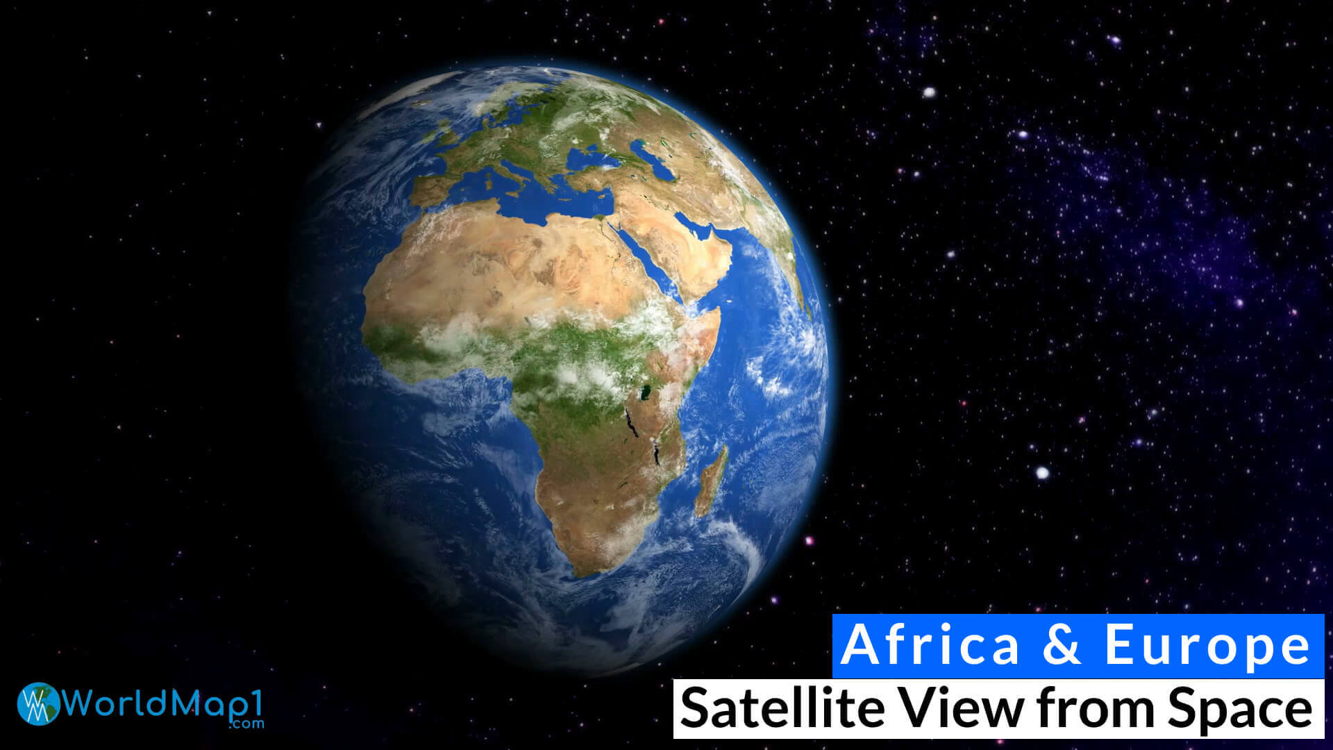 Africa and Europe satellite image showing Earth’s surface from outer space.
Africa Earth Satellite Map: A View of the Continent from Space
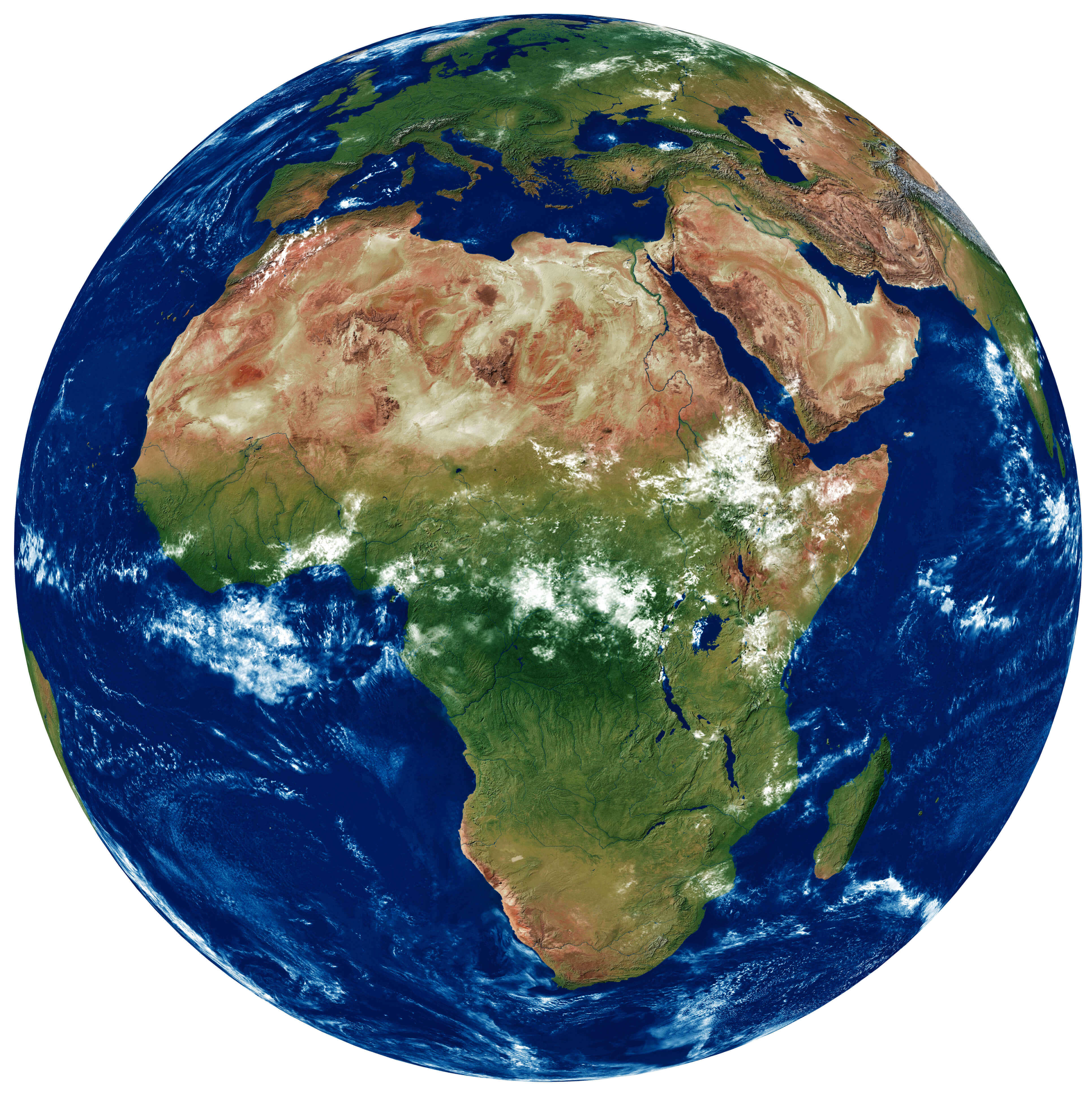 Africa satellite map showing natural terrain, forests, deserts, and coastlines.
Africa detailed topography of continents
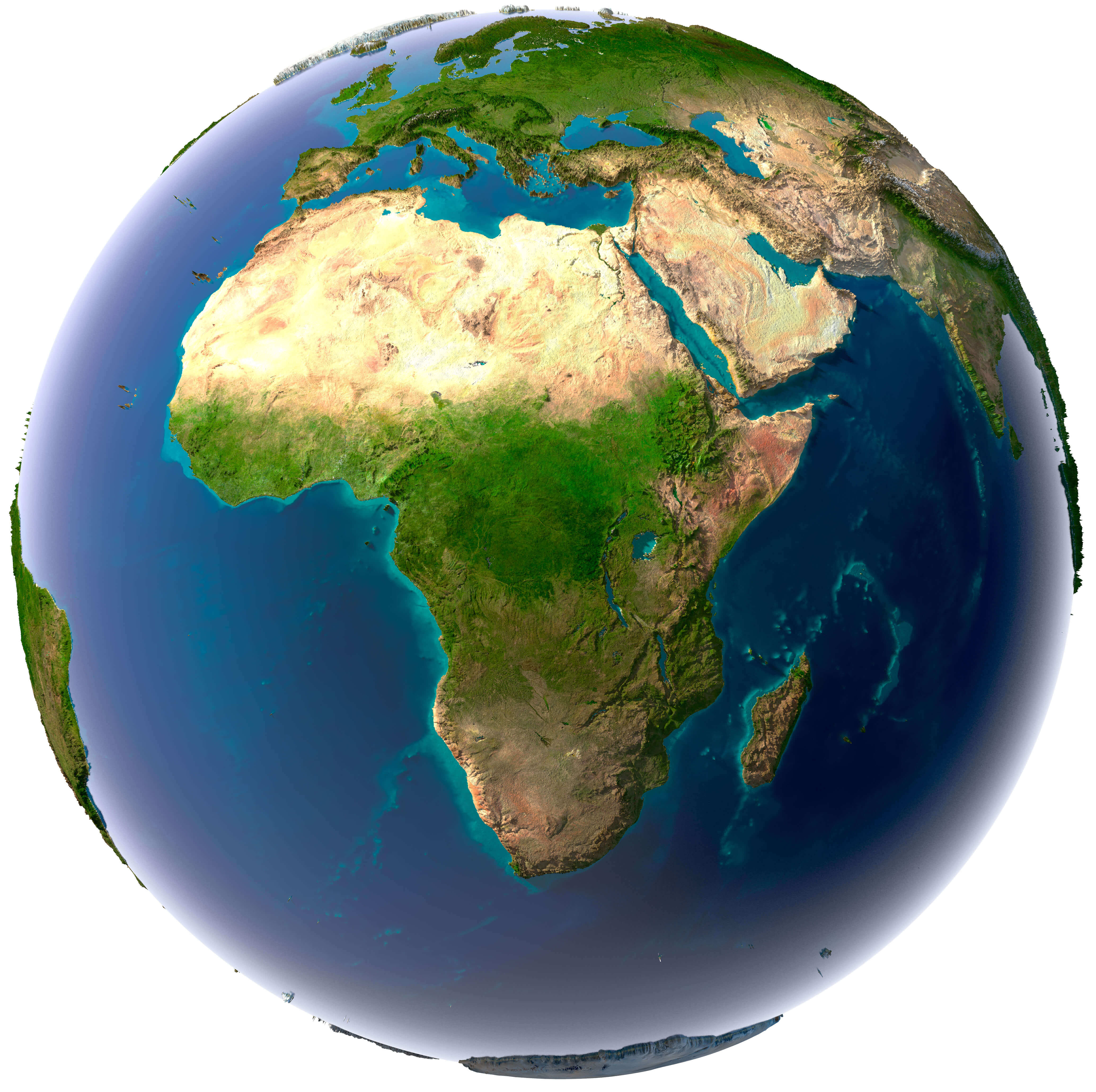
Africa Earth air routes map

Africa Earth high relief map
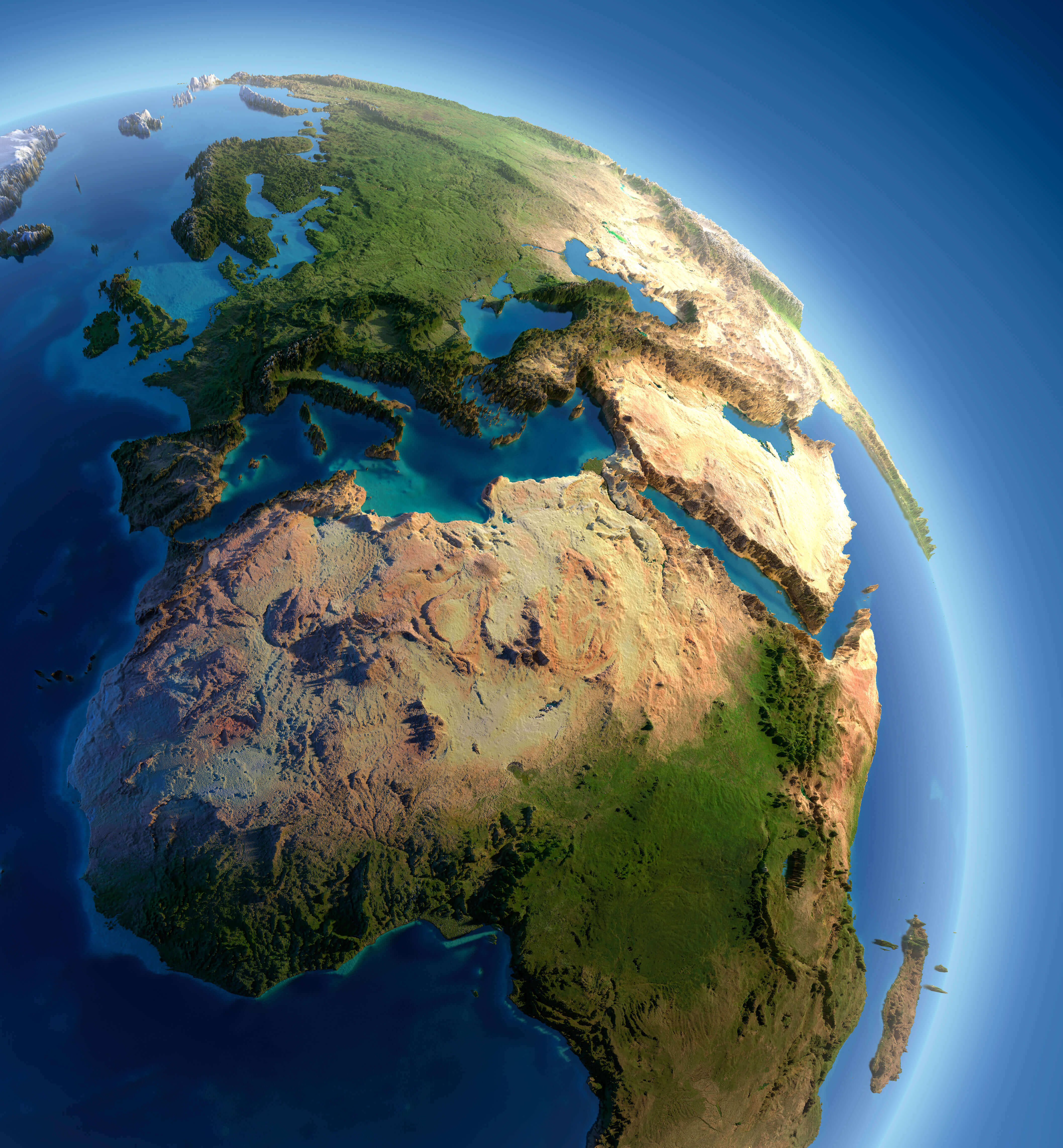
Africa Earth map with Europe and Asia
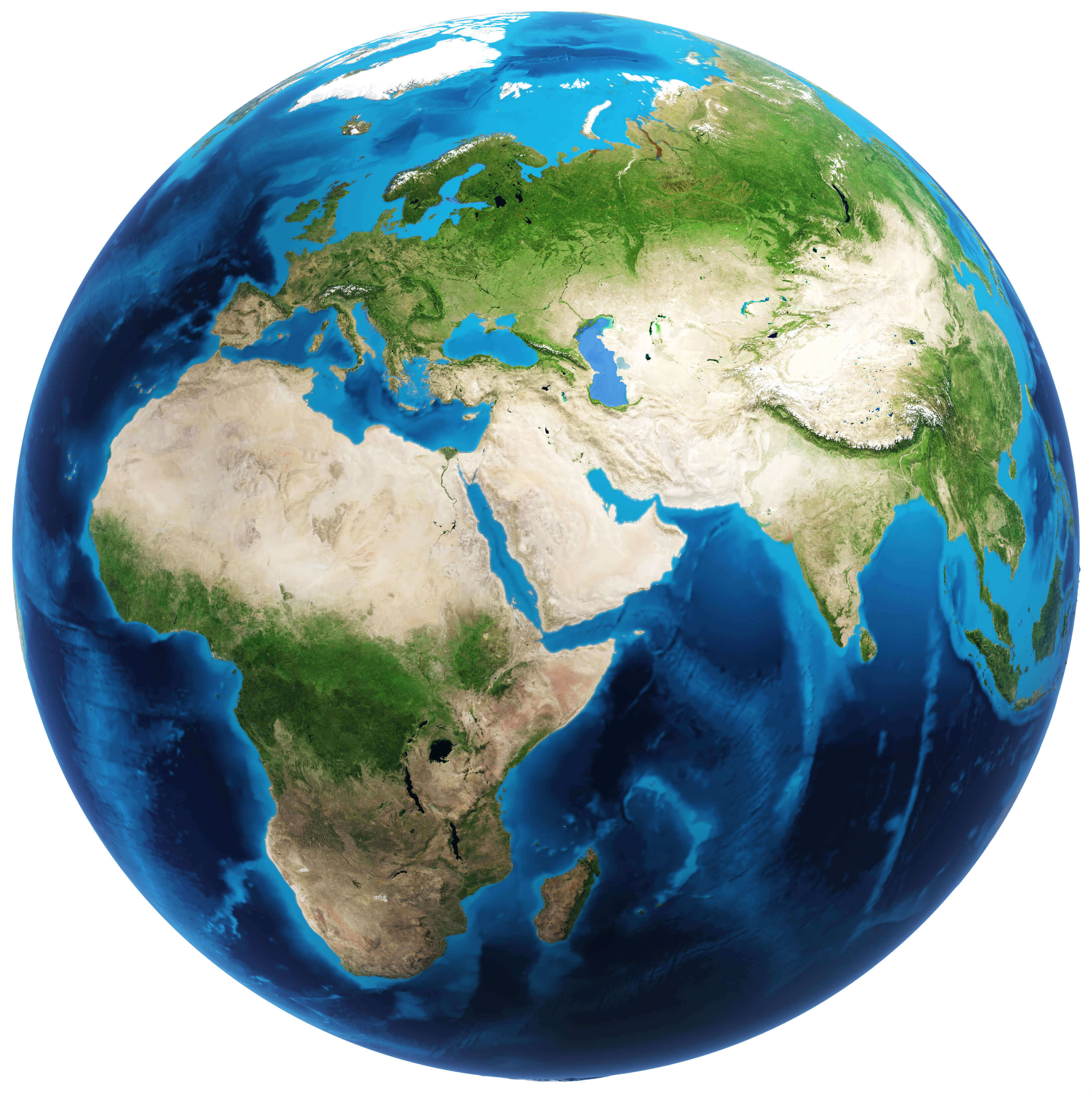
Africa Earth night map

Africa Europe and Middle East from space
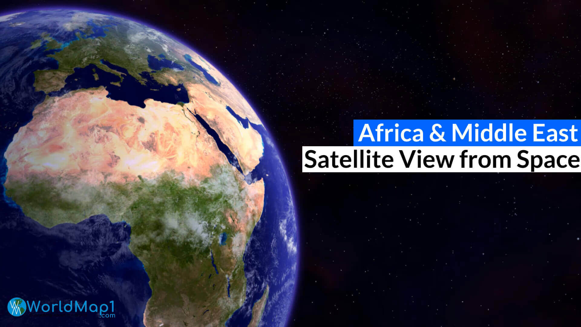
Africa satellite image map
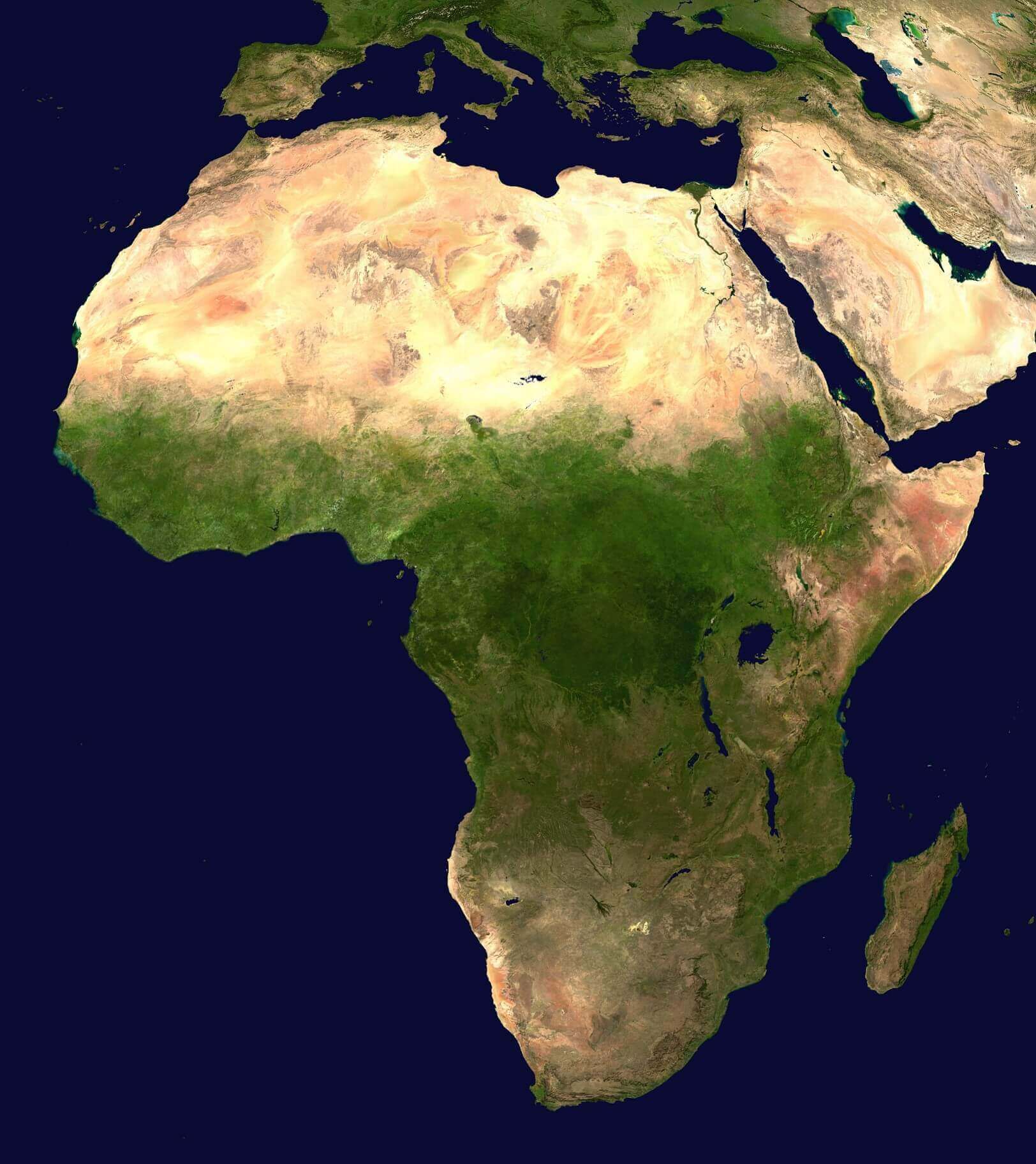
Africa satellite image
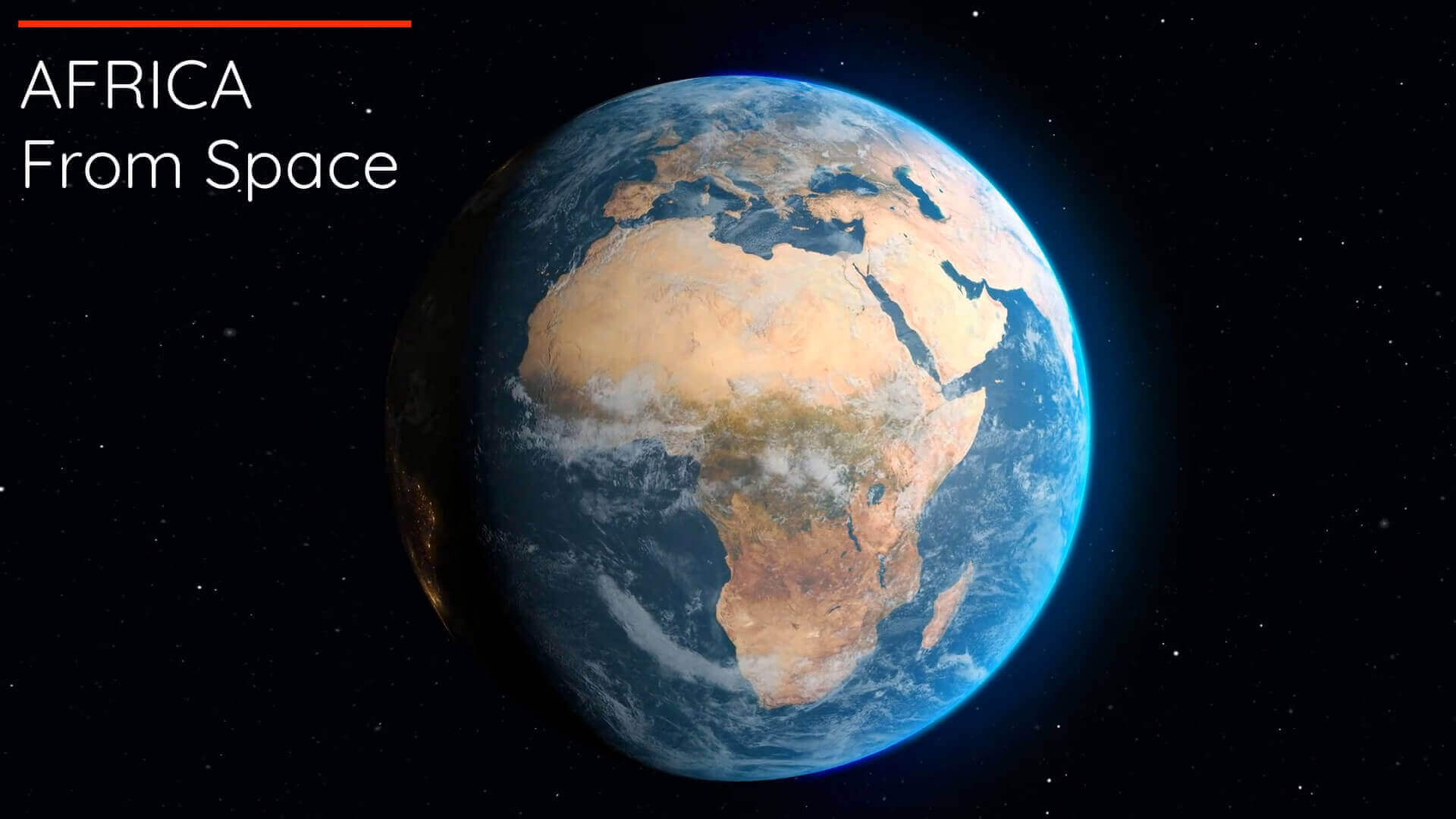
Earth and Africa satellite map
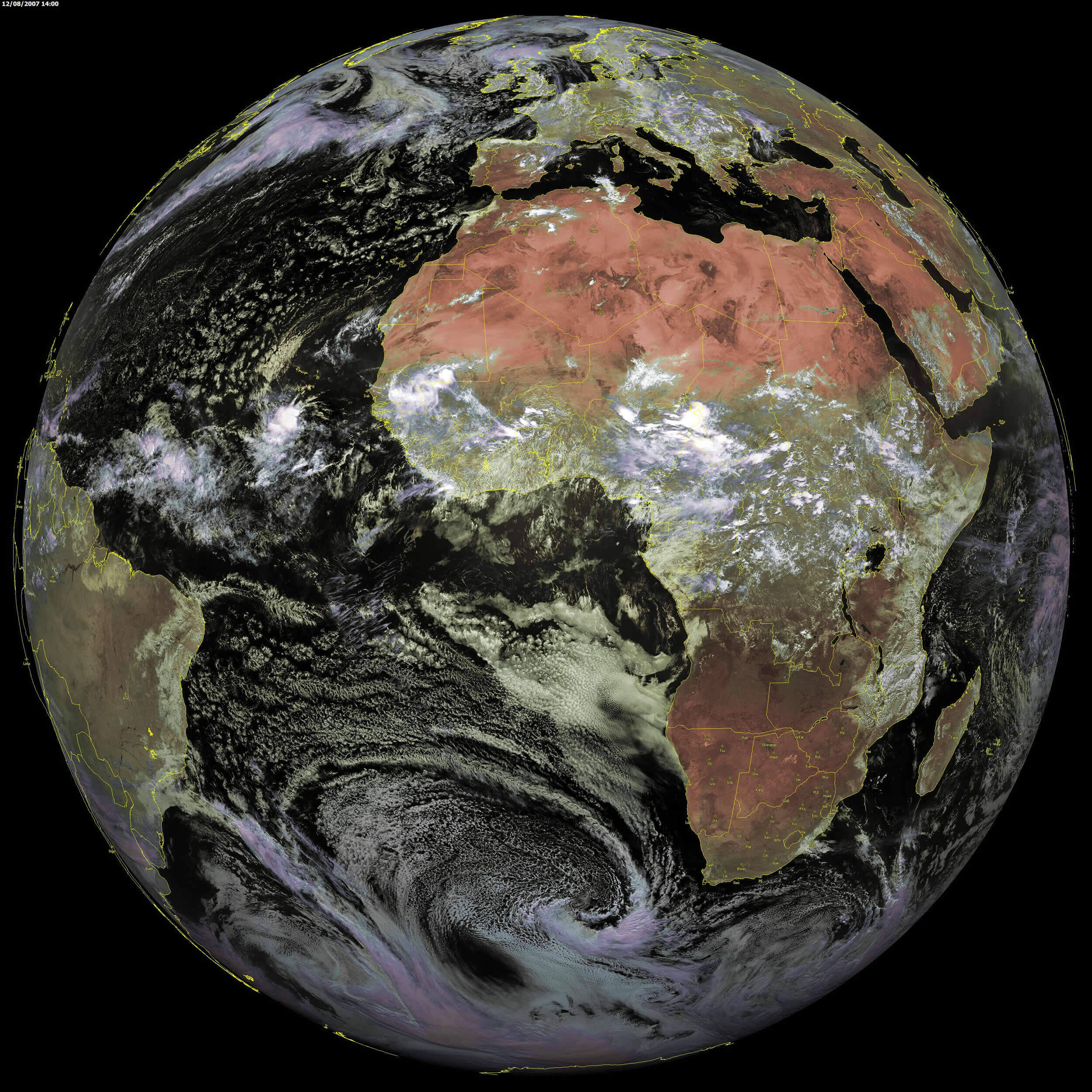
Sahara Desert and Africa satellite image map
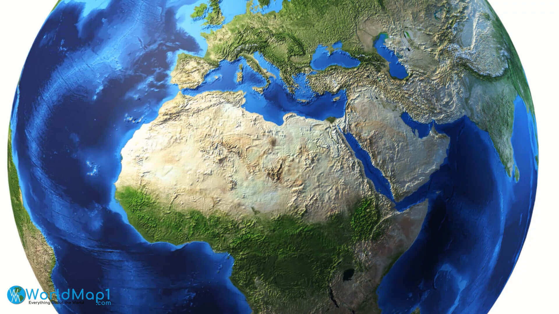
Satellite view of Africa
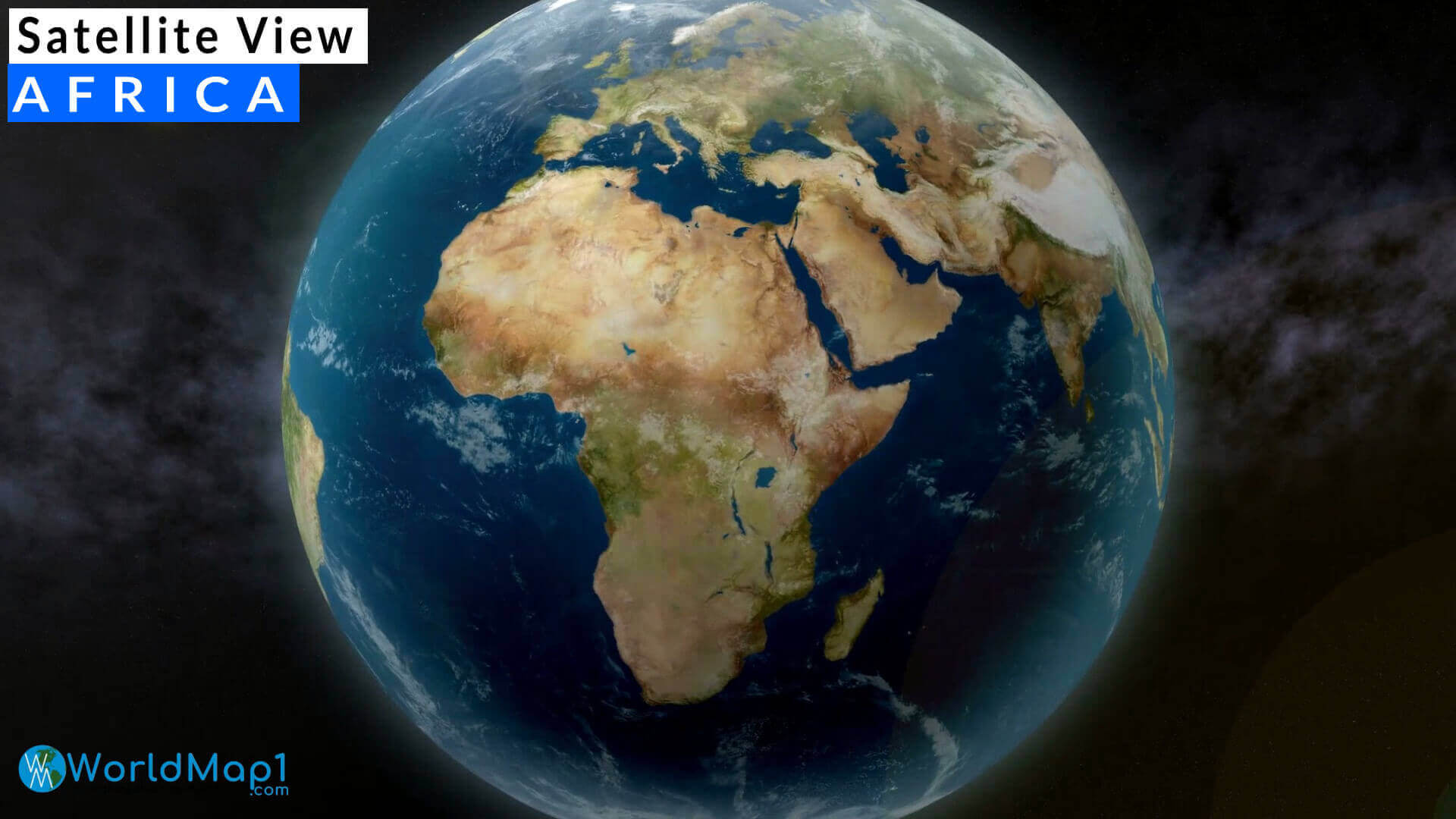
Where is Africa on the World Map?
Show Google Interactive Maps and satellite maps of where the country is located.
Get directions by driving, walking, bicycling, public transportation and travel with street view.
Feel free to explore these pages as well:
- Africa Map IV ↗️
- Africa Map ↗️
- Africa High-resolution Map ↗️
- Map of Africa ↗️
- Africa Physical Map ↗️
- Africa Political Map ↗️
- Africa Countries Map ↗️
- Africa Population Map ↗️
- Africa Road Map ↗️
- Africa Topographic Map ↗️
- Africa Religion Map ↗️
- Africa Cities Map ↗️
- Africa Time Zone Map ↗️
- Muslim Population Map in Africa by Country ↗️
- A Collection of Algeria Maps: Exploring a North African Gem via Maps ↗️
- Visit Africa ↗️
- Africa Map I ↗️
- Africa Map II ↗️
- Africa Map III ↗️
- Africa Map V ↗️
- Advertisement -
