Map of Oklahoma

HomeMapsMap of Oklahoma
- Advertisement -

A collection maps of Oklahoma; View a variety maps of Oklahoma physical, political, relief map. Satellite image of Oklahoma, higly detalied maps, blank map of Oklahoma, US and Earth. And find more Oklahoma’s country, regions, topography, cities, road, rivers, national, directions maps and USA state atlas.

Oklahoma Administrative Map
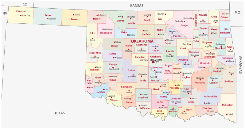
Oklahoma Administrative Map
Oklahoma administrative map with main cities and counties.

Oklahoma Blank Map
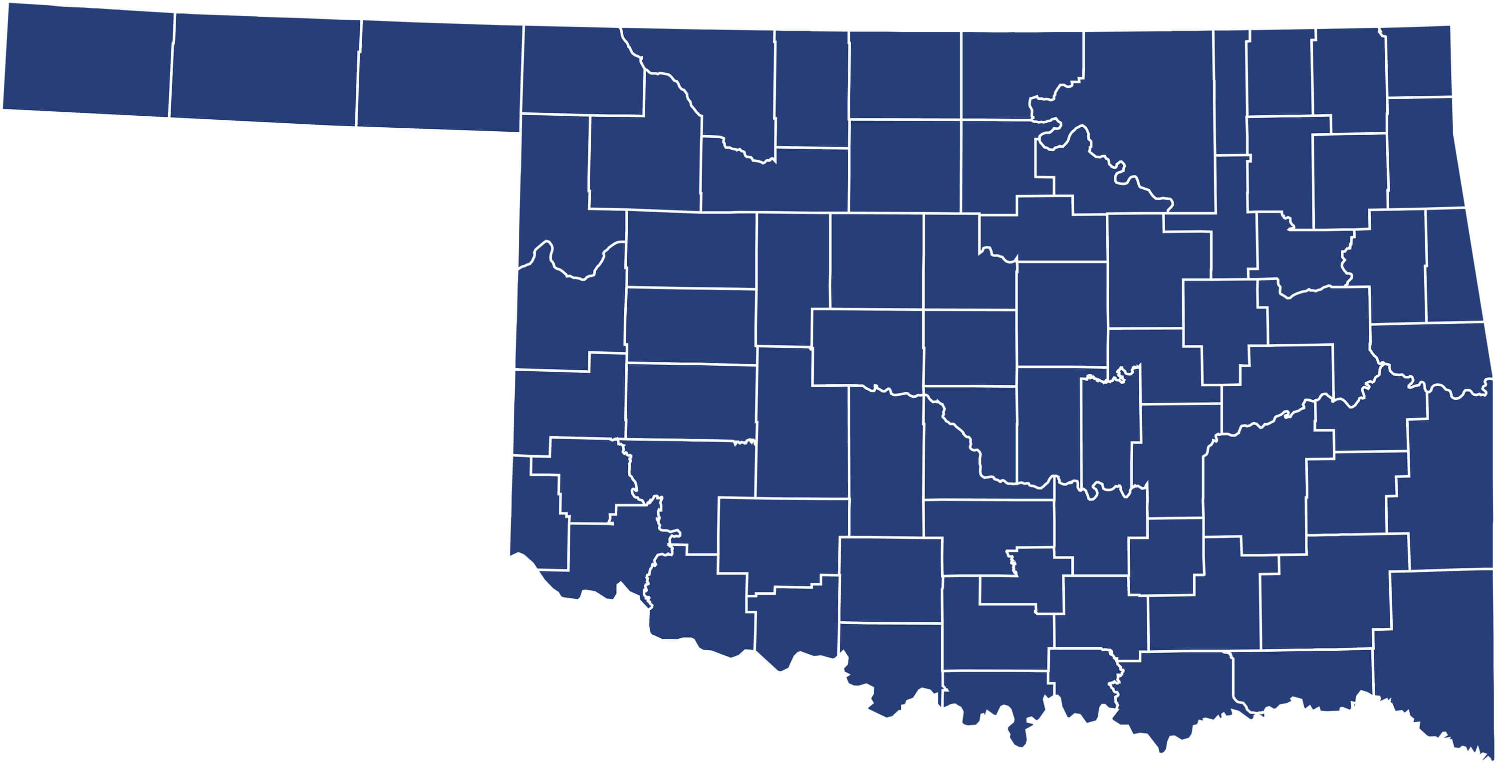
Oklahoma Blank Map
Oklahoma Blank Map with counties, United States.

Oklahoma City Map
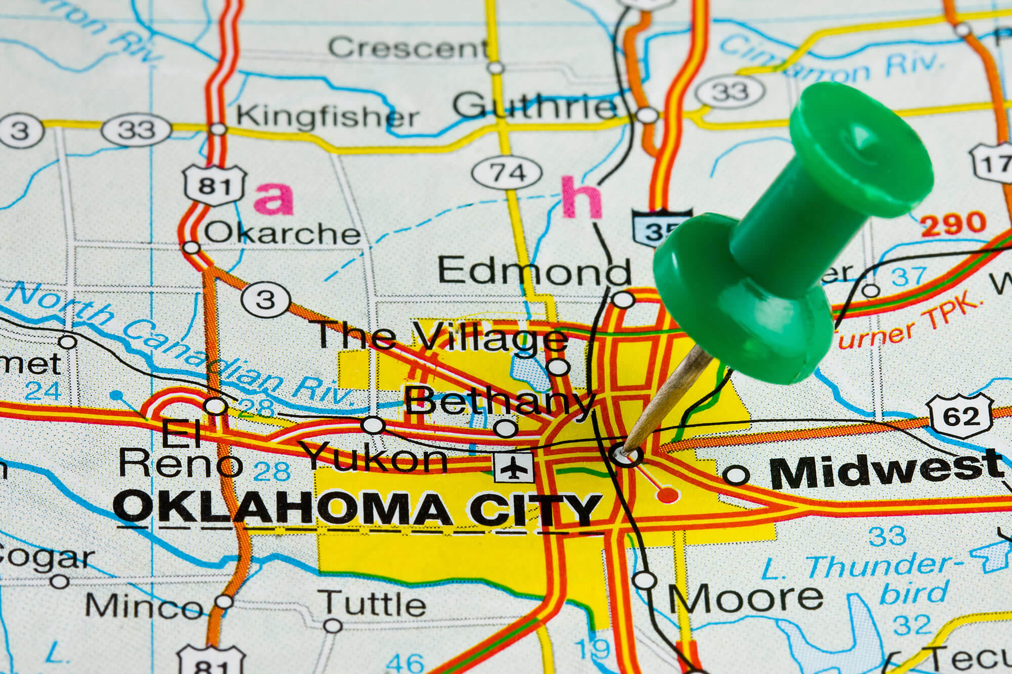
Oklahoma City Map


Oklahoma City highlighted with push pin on atlas or map.

Where is Oklahoma in the World?

Show Google map, satellite map, where is the country located.

Get direction by driving, walking, bicycling, public transportaion and travel with street view.

[gmap-embed id=”2019″]

Oklahoma Maps and Photos

- Advertisement -
Previous article
Next article

Discover

Sponsor

Latest Posts

Alaska Photos

A Collection of Alaska Photos Mendenhall Glacier Viewpoint with Fireweed in bloom, in Alaska. Margerie Glacier, Alaska Cruise passengers watching Margerie Glacier, Alaska, USA Skagway, Alaska Skagway, Alaska. The...

Australia has the climate to suit everyone

Australia Climate Australia's climate is governed largely by its size and by the hot, sinking air of the subtropical high pressure belt. This moves north...

Utah Photos

A Collection of Utah Photos Horseshoe Bend Grand Canyon National Park Sunset moment at Horseshoe bend Grand Canyon National Park. Colorado River. famous view point. John Ford...

Map of Georgia

A collection maps of Georgia; View a variety maps of Georgia physical, political, relief map. Satellite image of Georgia, higly detalied maps, blank map...

A Collection of Taiwan Images and Photos

Taiwan is an island country lies between China and Japan, but it is currently not recognized as an official country in the World, as...