Map of Oklahoma

HomeMapsMap of Oklahoma
- Advertisement -

A collection maps of Oklahoma; View a variety maps of Oklahoma physical, political, relief map. Satellite image of Oklahoma, higly detalied maps, blank map of Oklahoma, US and Earth. And find more Oklahoma’s country, regions, topography, cities, road, rivers, national, directions maps and USA state atlas.

Oklahoma Administrative Map
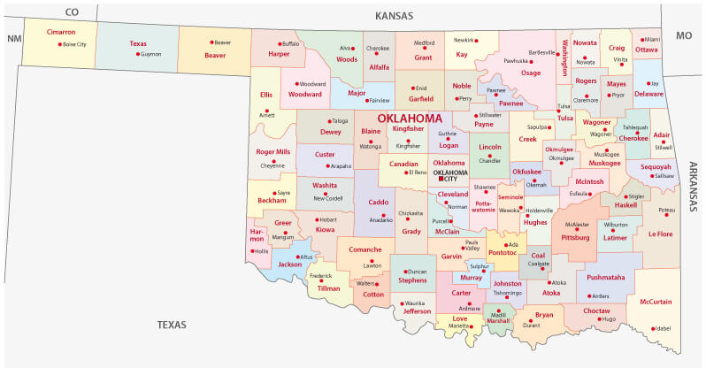
Oklahoma Administrative Map
Oklahoma administrative map with main cities and counties.

Oklahoma Blank Map
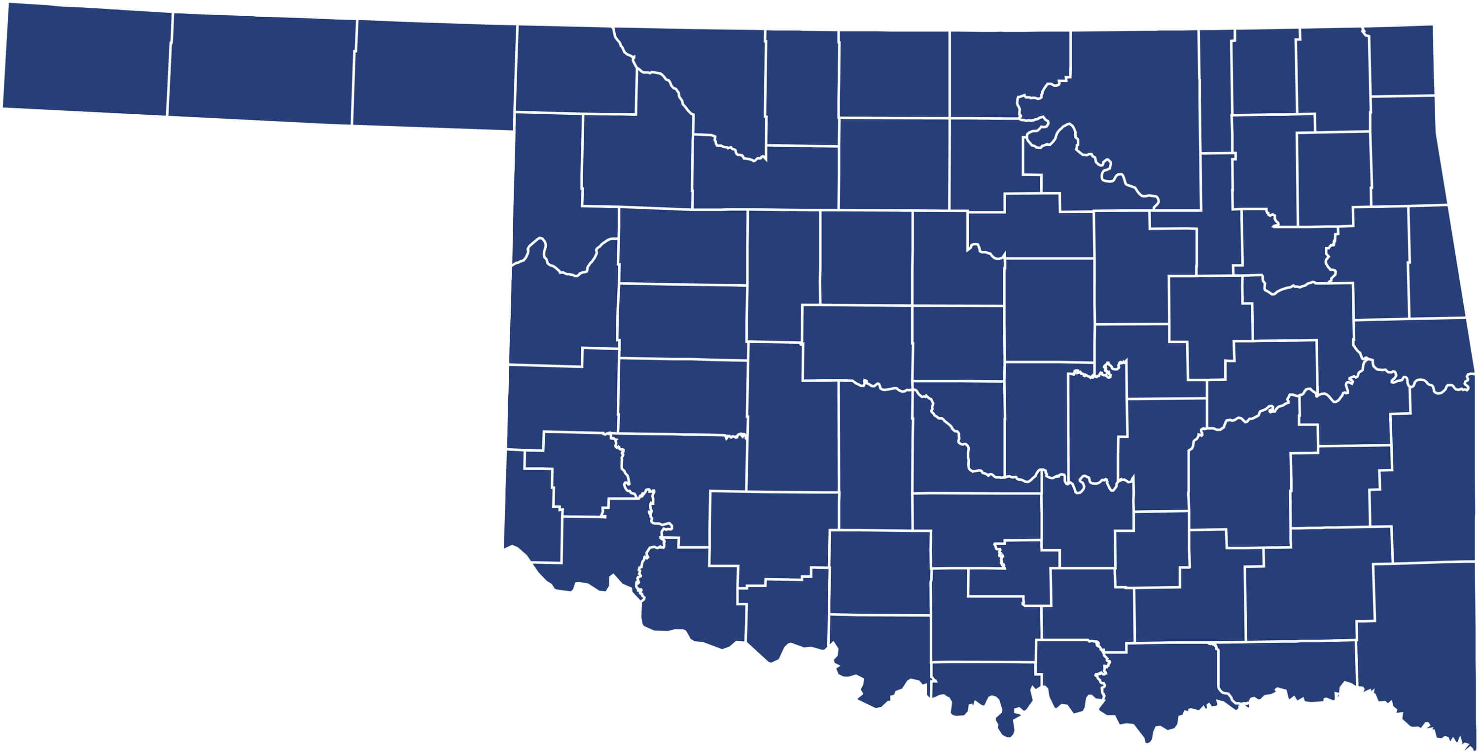
Oklahoma Blank Map
Oklahoma Blank Map with counties, United States.

Oklahoma City Map
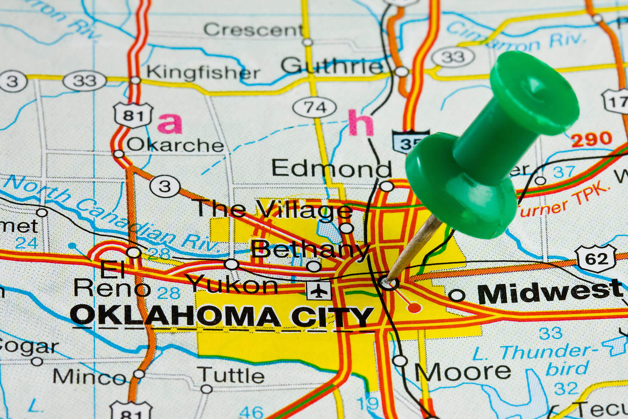
Oklahoma City Map


Oklahoma City highlighted with push pin on atlas or map.

Where is Oklahoma in the World?

Show Google map, satellite map, where is the country located.

Get direction by driving, walking, bicycling, public transportaion and travel with street view.

[gmap-embed id=”2019″]

Oklahoma Maps and Photos

- Advertisement -
Previous article
Next article

Discover

Sponsor

Latest Posts

A Collection of South America Maps: Navigating the Landscape, History, and Diversity of a Vast Continent

South America, a land where ancient rainforests meet majestic mountain ranges, where vibrant cities resonate with a blend of colonial and modern influences, and...

Faroe Islands Map

Discover the stunning Faroe Islands with detailed map, pyhsical, political, satellite, road maps. Explore the unique landscapes, towns and natural wonders to plan your...

Mongolia Map

Explore a variety of maps of Mongolia, including political, physical, satellite and relief maps. Explore major cities, rivers, elevation, terrain and administrative divisions. Learn...

Norway

Norway has a population of 5,033,675 people, with its capital, Oslo, being the largest city in the country. Oslo serves as both the political...

Unveiling the Best of the City of Lights – Paris Travel Guide

Are you planning a trip to the City of Lights? Look no further than our Paris travel guide to make the most out of...