- Advertisement -
Discover the Germany time zone map showing CET (UTC+1) in winter and CEST (UTC+2) in summer. Learn how Germany aligns with other European countries for travel and business.
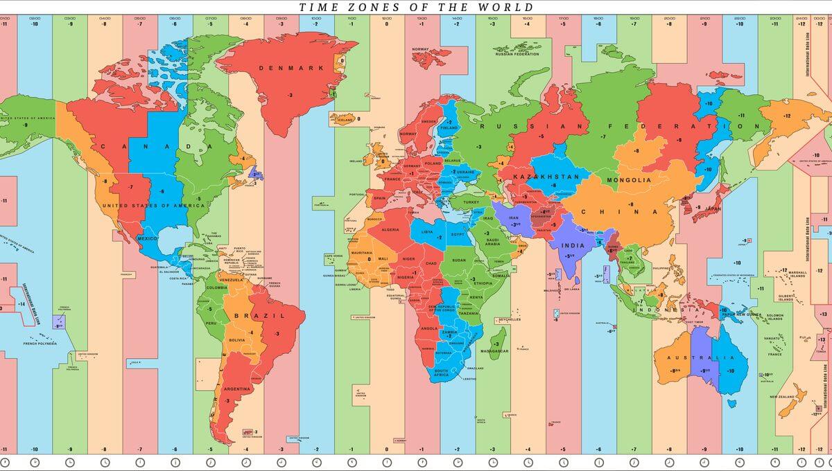
A Germany time zone map shows that the entire country follows Central European Time (CET, UTC+1) in winter and Central European Summer Time (CEST, UTC+2) during Daylight Saving. Sharing the same time zone as France, Italy, and Spain, Germany’s alignment supports smooth travel, trade, and communication across Europe.
Germany Central European Time Zone Map
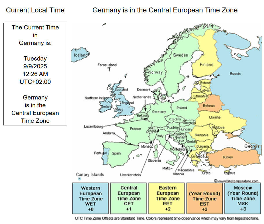 Map showing Germany in the Central European Time Zone with UTC+1 and UTC+2.
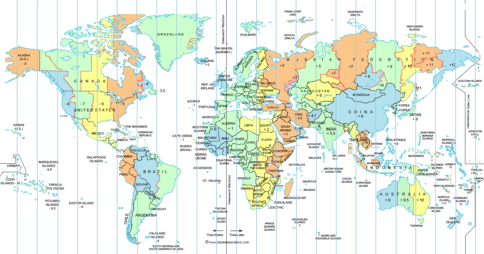
Expanded World time zone map with Germany
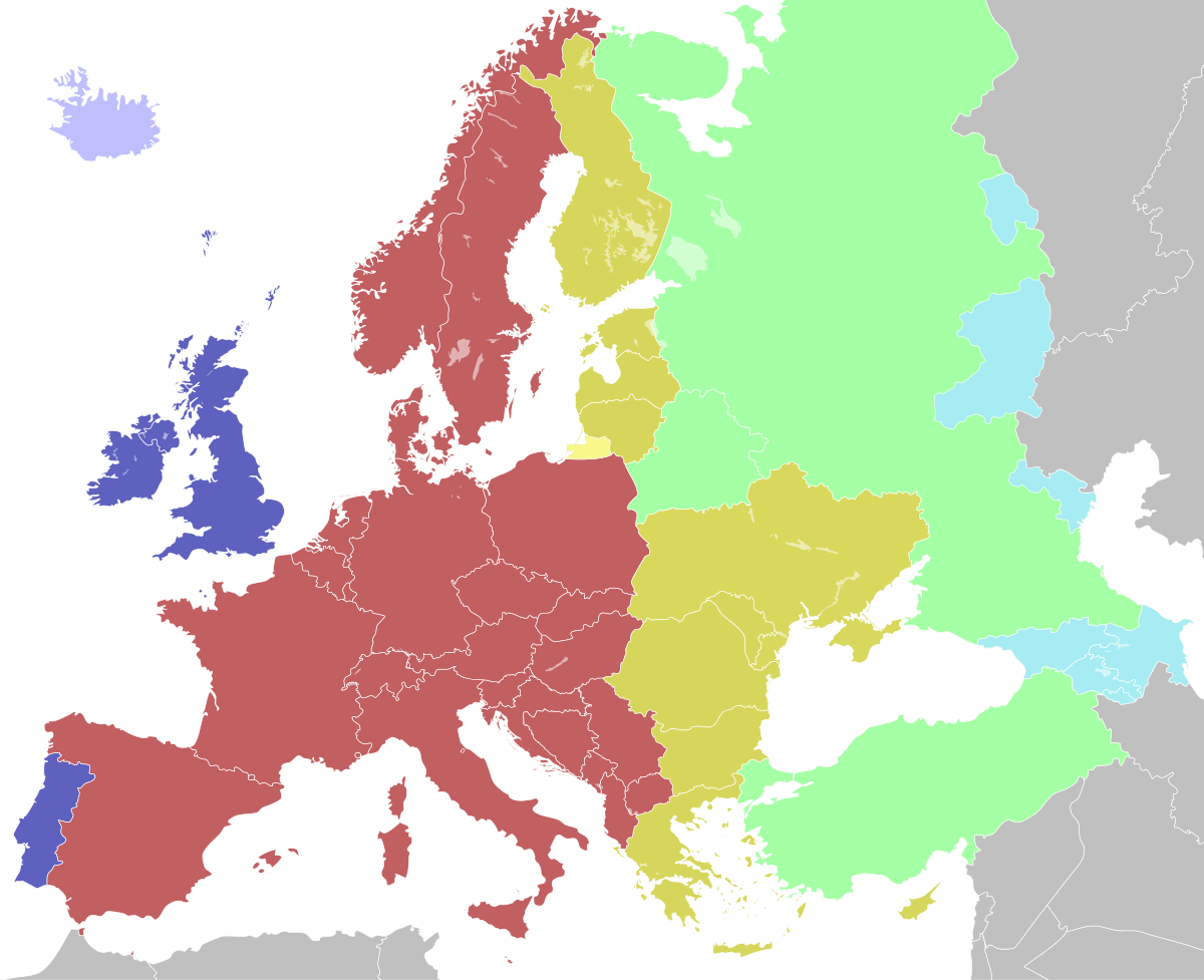
Germany Europe cet central time zone map
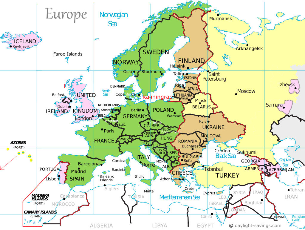
Germany Europe time zones map
Germany time zones change from 1923 2023
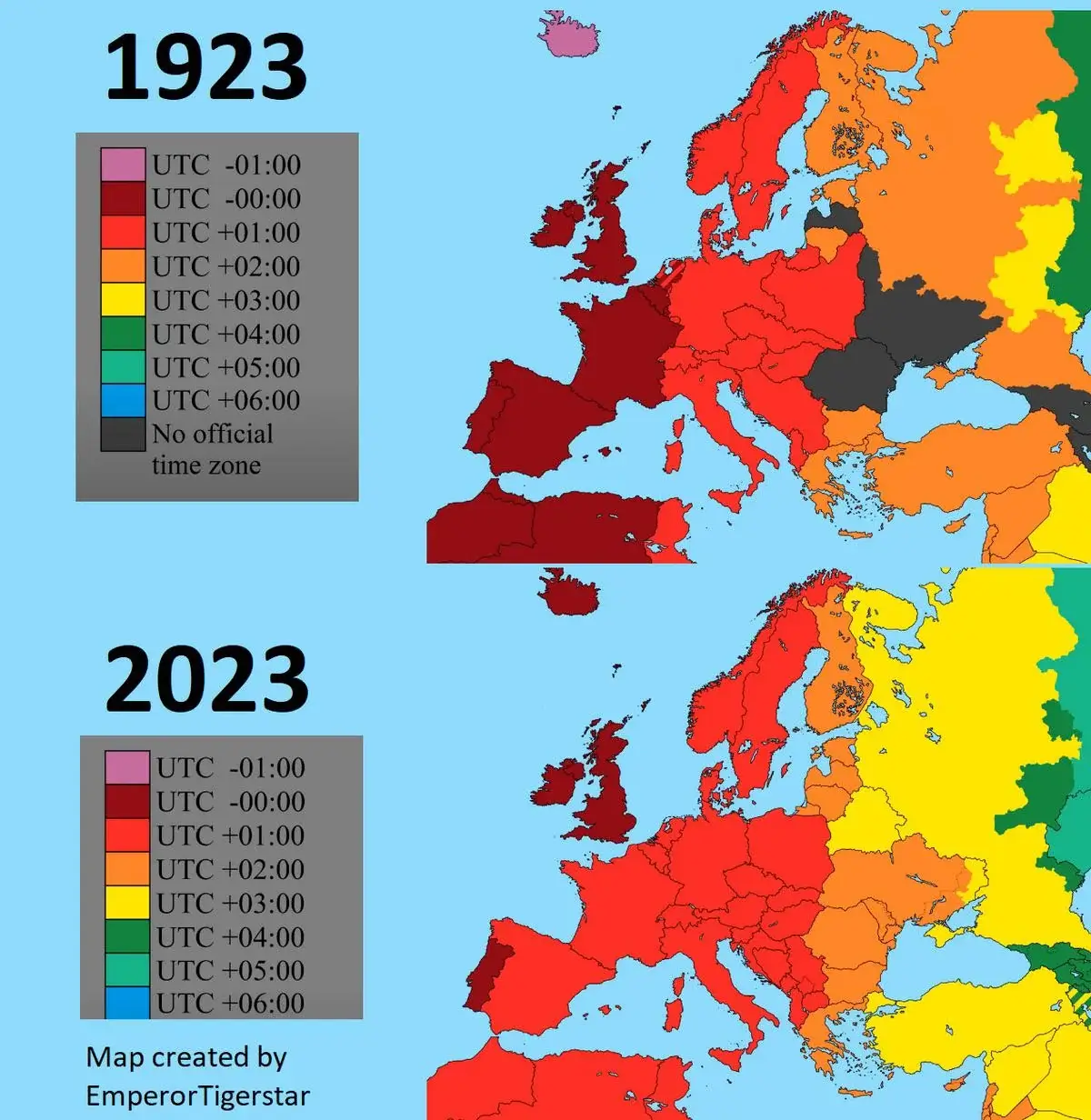
Germany UTC 1 time zone map
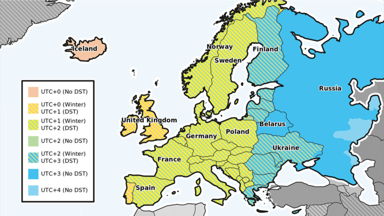
Germany World time zone map utc 2
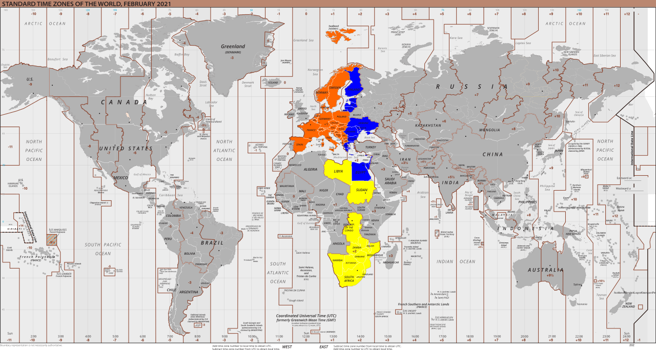
Globe time zone map with Germany
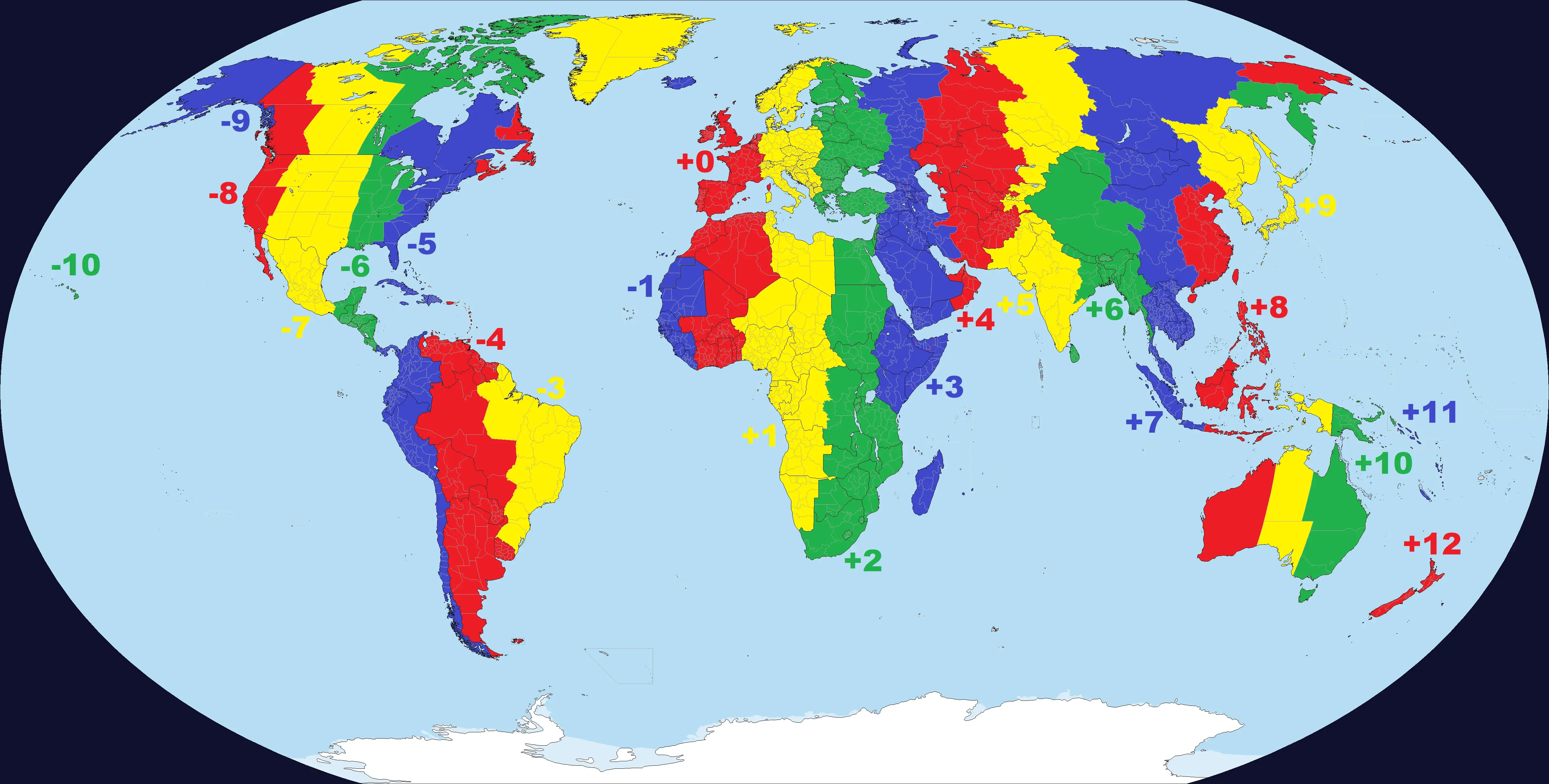
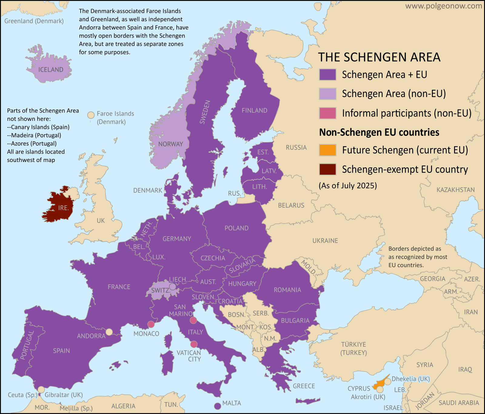
Schengen countries map and Germany time zone
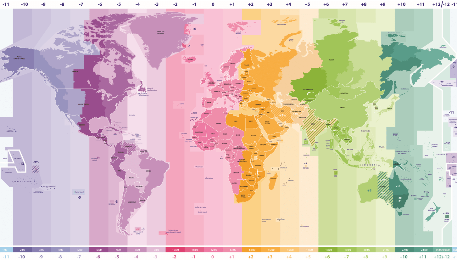
Time zones map with Germany
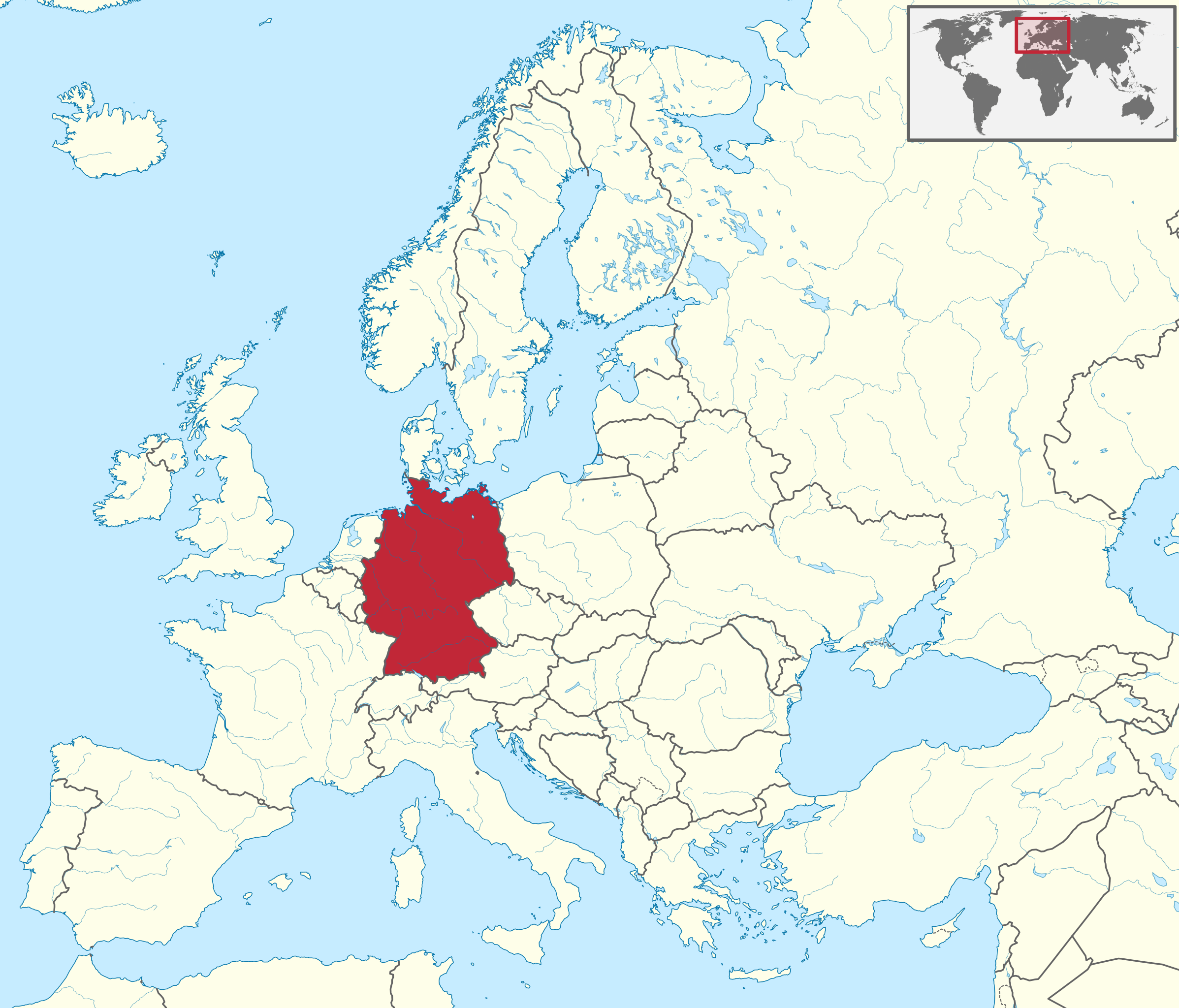
Where is Germany in Europe and time zone
World time zone map with Germany
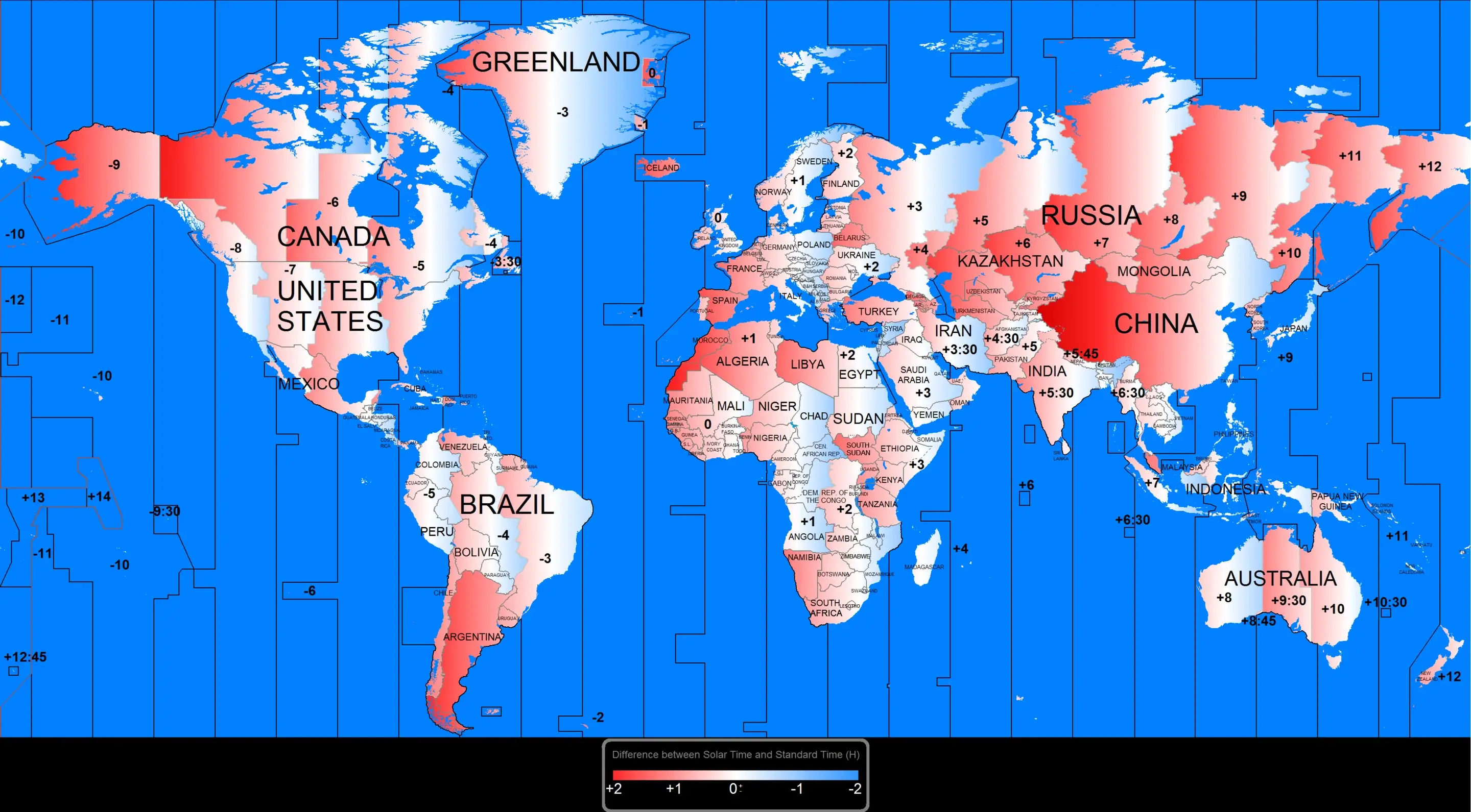
World time zones map and Germany
Where is Germany on Europe Map?
Show Google interactive map, satellite map, where is the country located.
Get direction by driving, walking, bicycling, public transportation and travel with street view.
Feel free to explore US states maps:
- Germany Map ↗️
- Map of Germany ↗️
- Germany Cities Map ↗️
- Spain Time Zone Map ↗️
- UK Time Zone Map ↗️
- France Time Zone Map ↗️
- Italy Time Zone Map ↗️
- Turkey Time Zone Map ↗️
- Europe Time Zone Map ↗️
- World Time Zone Map ↗️
- China Time Zone Map ↗️
- Russia Time Zone Map ↗️
- Europe Map ↗️
- North America Time Zone Map ↗️
- Canada Time Zone Map ↗️
- Asia Time Zone Map ↗️
- Africa Time Zone Map ↗️
- US Time Zone Map ↗️
- California Time Zone Map ↗️
- Texas Time Zone Map ↗️
- New York Time Zone Map ↗️
- Florida Time Zone Map ↗️
- Advertisement -
